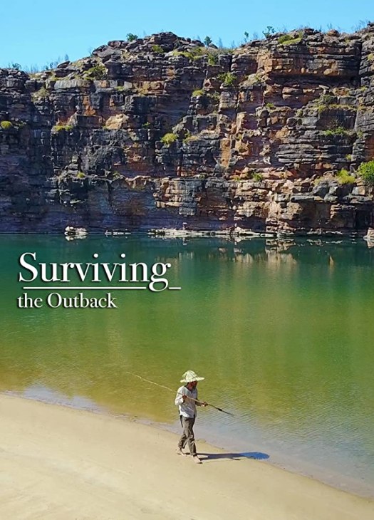
You might be able to find it on the National Geographic Channel.
In 2016 filmmaker/photographer Pete McBride and writer Kevin Fedarko set out on a 750-mile journey on foot through the entire length of the Grand Canyon.
From the outset, the challenge was far more than they bargained for. More people have stood on the moon than have completed a continuous through hike of the Canyon.
… But their quest was more than just an endurance test – it was also a way to draw attention to the unprecedented threats facing one of our most revered landscapes. …
Uranium mines, tourist development, maintaining indigenous flora and fauna. Native peoples are interviewed thoughout.
Trees are good in MANY ways, including pulling CO2 out of the atmosphere.
Jimmy “MrBeast” Donaldson, some guy who got popular on YouTube, started a campaign that raised enough money for more than 20 million trees to be planted across the United States, Australia, Brazil, Canada, China, France, Haiti, Indonesia, Ireland, Madagascar, Mozambique, Nepal, and the United Kingdom.
He got into hiking in his 20s, but it was trekking and scrambling in little know wilderness on four continents visited on his five-year-long H.M.S. Beagle voyage between 1831 and 1836 that cement him as one of the most worldly hikers in history.
“Mount Darwin” is the highest peak in Tierra del Fuego. On February 12, 1834, Captain FitzRoy named a mountain after him on his birthday. …
Mt. Darwin
Darwin walked mainly to discover plants and animals unique to those regions.
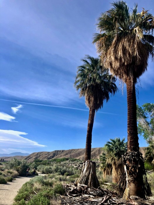
Next morning I headed for Coachella Valley Preserve before it got too hot.
Entrance by donation. Owned and well-managed by The Nature Conservancy, Bureau of Land Management, Wildlife Service, California Department of Fish & Game and California Department of Parks & Recreation
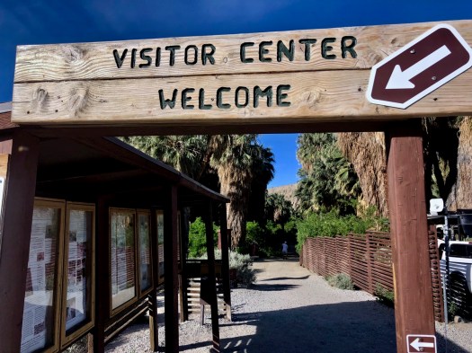
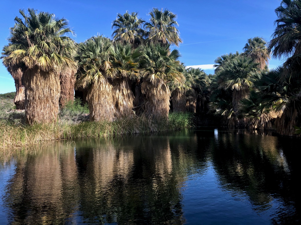
On the San Andreas fault-line, underground springs force water up to the surface.
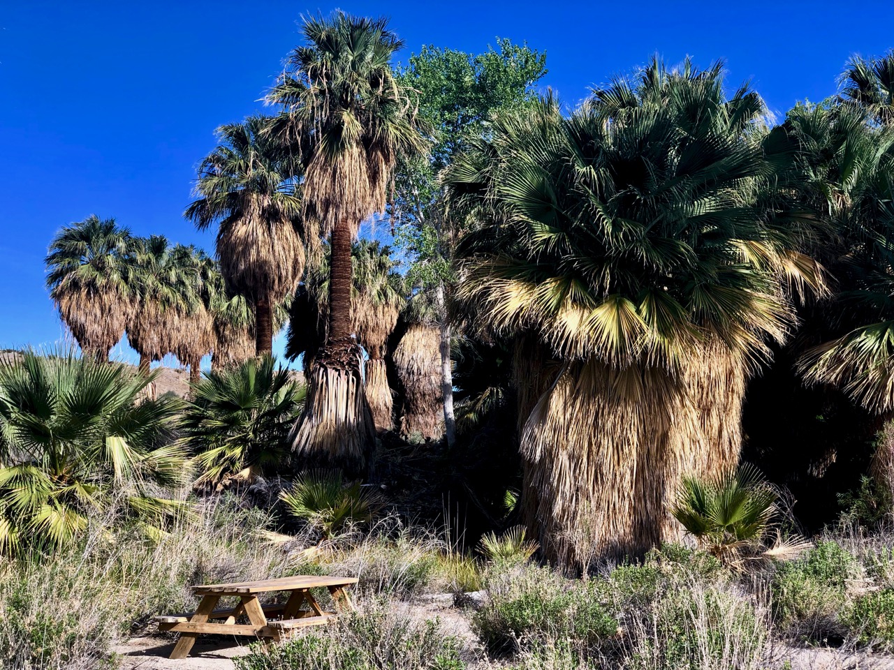
Most visitors walk about 2 miles round-trip on the McCallum Trail to McCallum Grove.
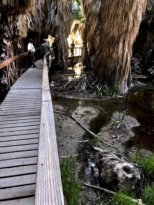
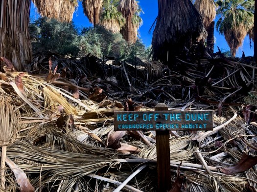
It’s an interpretive walk with plant species identified.
I was told the Preserve was recently closed due to flooding — and wildlife quickly returned.
McCallum is closed, as well, during the heat of the summer (May 1 – Oct 1).
There are actually 28 miles of trails (easy to moderate) and I continued out into the desert out into Moon Country.
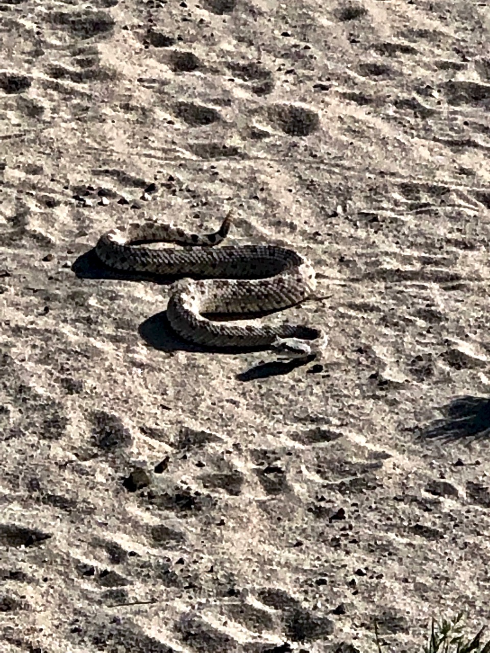
Almost immediately I ran into the first rattlesnake of my life.
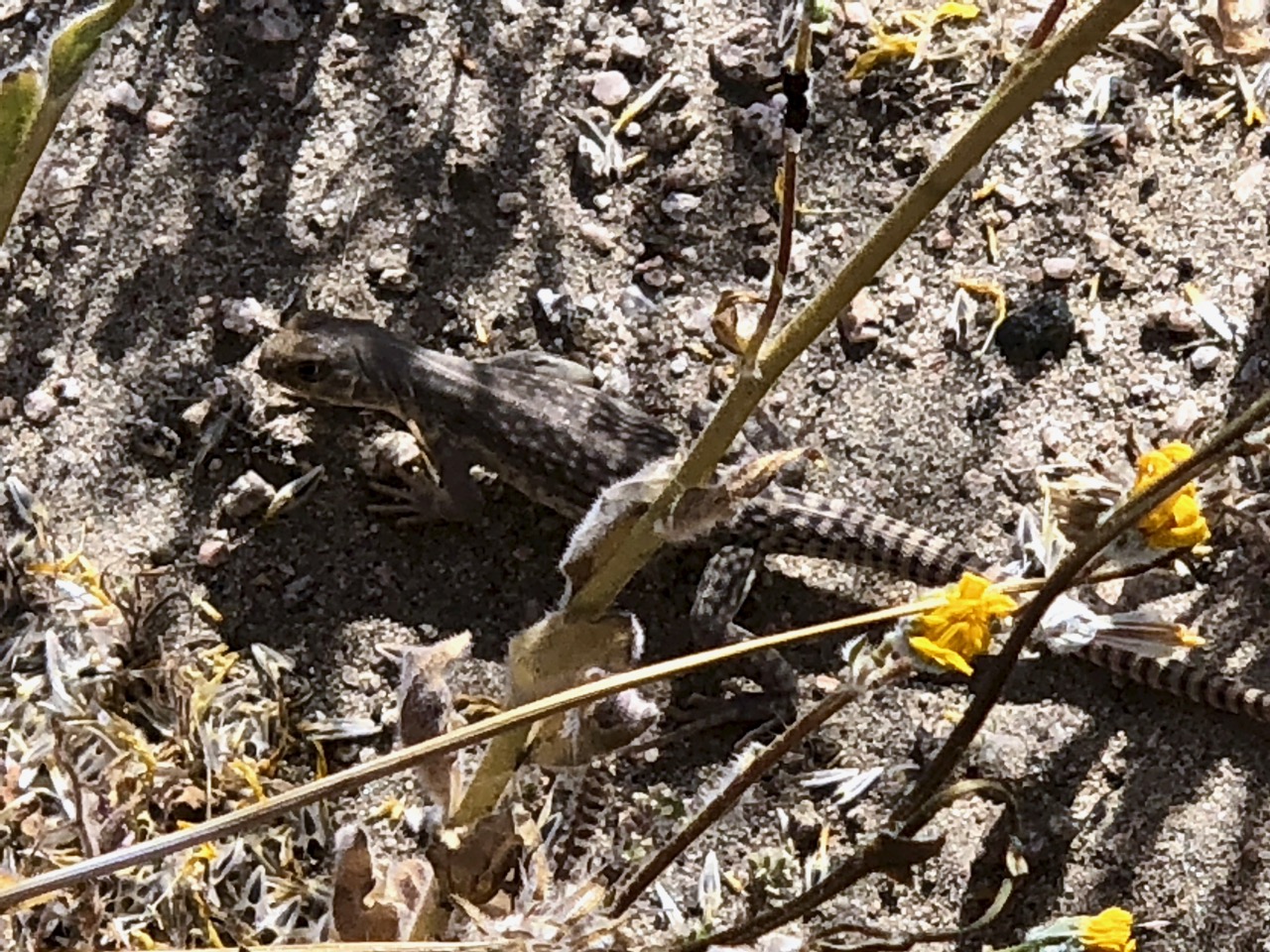
There are plenty of lizards to keep them fed.
It was April — wildflower season — and I was lucky enough to see some.
I saw no other hikers climbing up into a dry wash. Most stick to the 2 mile loop.
If you get to Palm Springs, California, I highly recommend a visit.
I’d been steadily descending from the snowy heights. Vegetation now changing rapidly.
My only health worry was hot foot. Would I get blisters?
Just in case I took off the shoes every hour or two.
I’ve used the same pack for many a year – the super light frameless Granite Gear Virga 2.
The similar Granite Gear Crown2 is the 5th most popular on the PCT. My next pack will be a Hyperlite, the 3rd most popular. It’s heavier but near waterproof. And more durable, I reckon.
Cactus.
Here’s one of the main reason people buy the Guthook app — to find off-trail water in the desert.
Though I treated this pipe water, it did look and smell great in April.
Water is scarce. Researchers use watering holes to check on the health of mammals in the area.
Successful in the desert are birds, snakes and lizards.
Down, down.
Into the trees.
Here’s where PCT hikers often get their water. GIFTS from Trail Angels.
I finally reached the first road. Would the mini-resupply I’d hung in a tree still be there?
YES!
I had enough food for the final 40 miles to Warner Springs. Yet I diverted one mile down the highway to famed Paradise Cafe.
My camp fuel was running low. I didn’t think I could make it two more days.
Unfortunately Paradise does not sell camp fuel. I returned to the trail hoping my Jetboil Flash would run on fumes.
Back on the PCT, I made it another couple of miles.
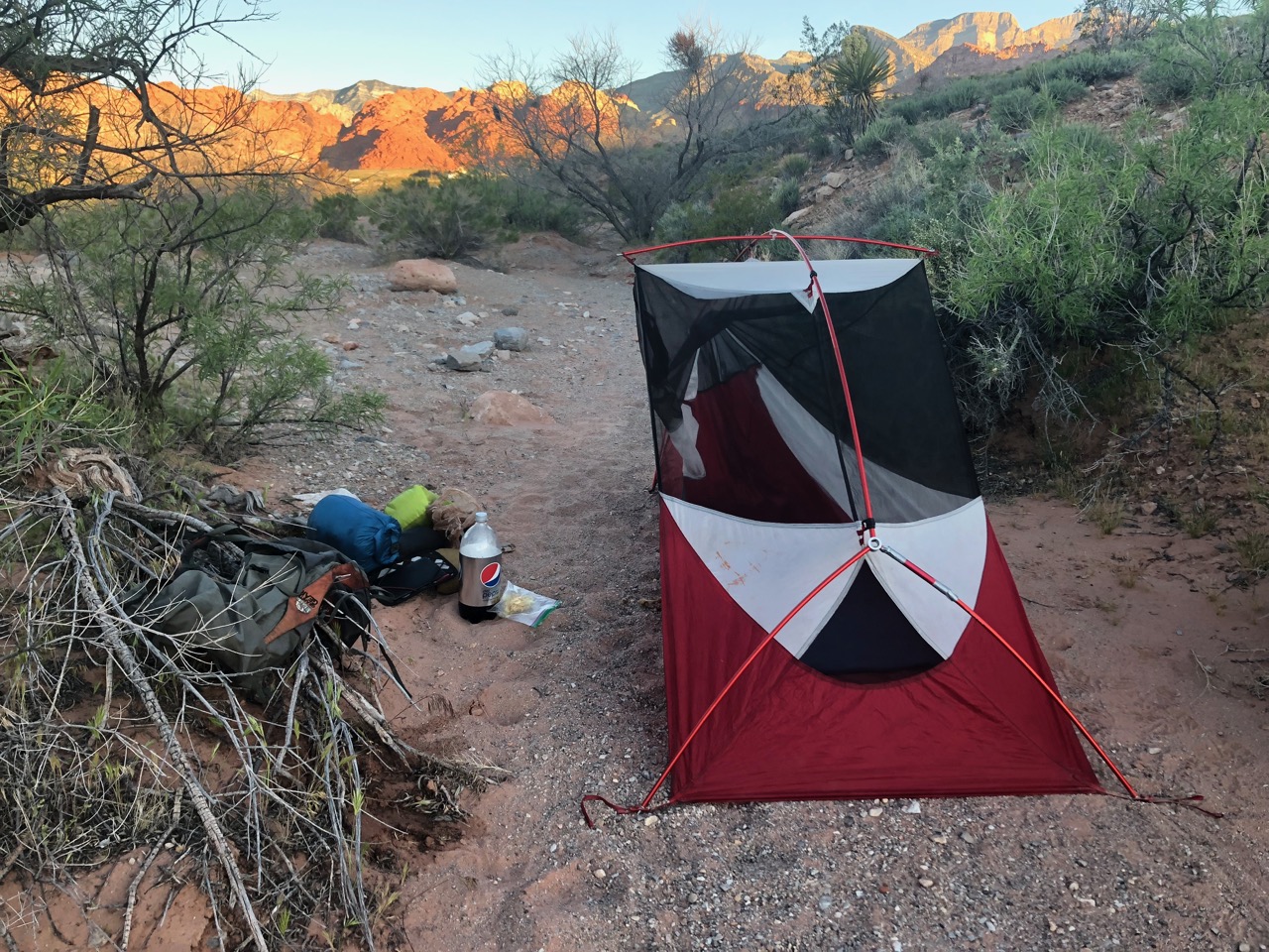
It looked like wind and rain so I set up my broken tent high enough in the wash to avoid flash flood.
As I feared, my stove fuel ran out before I could boil water for dinner. 😞
___ day 7
Weather forecast for today was for rain and very big winds. Not good.
I started south. Stopped. Then turned around and headed back towards Paradise.
Skipping the next 40 miles meant missing most of the desert wildflower bloom. Too bad.
Three reasons for quitting on my intended route:
broken tent
no stove fuel
weather forecast
The restaurant was packed. As usual.
I ended up seated with a tourist couple from Philly. As they were headed for Palm Springs I offered to pay for breakfast in exchange for a lift to town.
My PCT week was over. After breakfast.
Despite glitches — I really enjoyed hiking southbound on the PCT during peak season. The highlight was seeing hundreds and speaking with dozens of normal people whom — for one reason or another — wanted to try to hike from Mexico to Canada.
Day 4 was my walkout back to El Chaltén. Everyone hikes counter-clockwise.
Here’s the whole circuit visiting the Southern Patagonian Ice Field.
Circuit map via Travel 2 Walk
Very atypical for me, I didn’t sleep well.
And it rained on and off through the night.
Happily the sun came out about the time I got out of the tent.
Despite my efforts of the previous day, I’d only saved about an hour by hiking past the designated campground. I could still see the glacier. And there was again a rainbow. 🙂
The trail continued in parallel to the Lake Videma shoreline thorough dry grasslands.
Though still beautiful, this was the least impressive day, I’d say. Not much variety.
The highlight was rabbits more rabbits. And one non-rabbit. He may have been a Patagonian mara.
When I caught a glimpse I assumed it was a plains viscacha, but it was more likely a mara.
I was looking forward to the second Tyrolean Traverse.
Arriving alone, I found the pulley was at this, the far side of the river. 😕 There SHOULD have been a slim rope attached to pull it over to the start on the other side.
What to do?
I knew I could walk to the lake and (probably) wade the river mouth. But figuring a way across was more fun.
My alternatives:
1. Attach my pulley carabiner directly to the cable (rather than the pulley)
2. Use ONLY my steel carabiner (normally a redundant safety system). This is what the guide did once on our first Traverse.
I went with #1 thinking it was the safer option. That worked. But I had to pull myself every inch with friction from the carabiner resisting. It was exhausting.
Here are some guys wading.
Walk Patagonia
From there it was easy to find my way down to the Bahía Del Túnel dock.
This boat takes tourists to the Videma glacier.
I saw no people. No vehicles. So stayed on the ‘trail’ headed towards a ranch.
Actually, my hiking map showed the trail ending at the dock. Some probably walk the (much longer) road to town.
I could find no trail. Instead I worked my way through more grasslands in the direction of El Chaltén.
Ready to be done, I stumbled on to this calf. It was the second dead cow I’d seen.
When I hit the first fence, being a polite Canadian, I tried to walk around the ranch.
That was a mistake. In the end I hopped about 5 fences and opened one gate. It wasted at least another hour. I should have hopped the first fence and headed directly to the highway.
It was with satisfaction and relief that my final fence hop delivered me to this roadside lookout.
From there was an easy 3km to town on pavement.
I dropped my registration form at the Parks information office. They seemed happy to see I had survived.
With a big smile on my face I returned my rental Tyrolean Traverse harness to ‘Camping Center’ in town. That was the only gear rental store I could find that doesn’t close for siesta.
It was back to the hostel for a long, hot, long shower. 🙂
YES my hostel had a 24 hour a day restaurant! It’s popular with the late night partying backpacker crowd.
All I’d consumed this day was coffee. At 6:30pm I splurged on a huge meal. Breaded chicken a lo pobre.
The Huemul Route out of Fitz Roy, Argentina is superb. Some of the best vistas of my life. One of the very best hikes in the world.
____
If you are worried at all about the Traverses … and navigation, consider signing on with a guided group. Chalten Mountain Guides, for example.