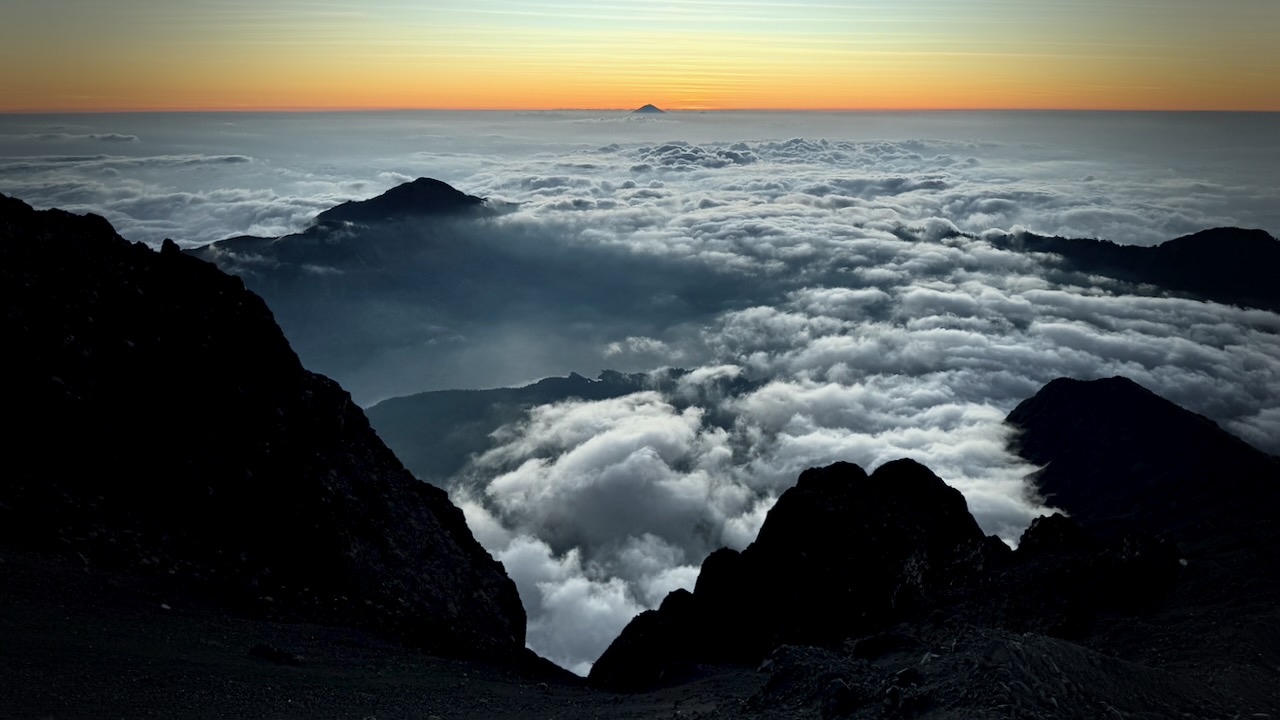
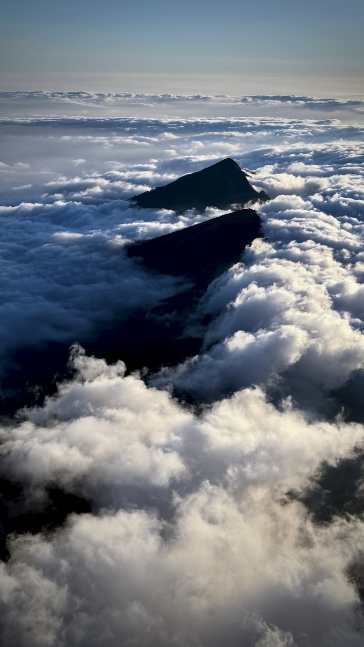
Climbing Rinjani, Indonesia – day 2

Trip report by BestHike editor Rick McCharles

SUMMIT DAY
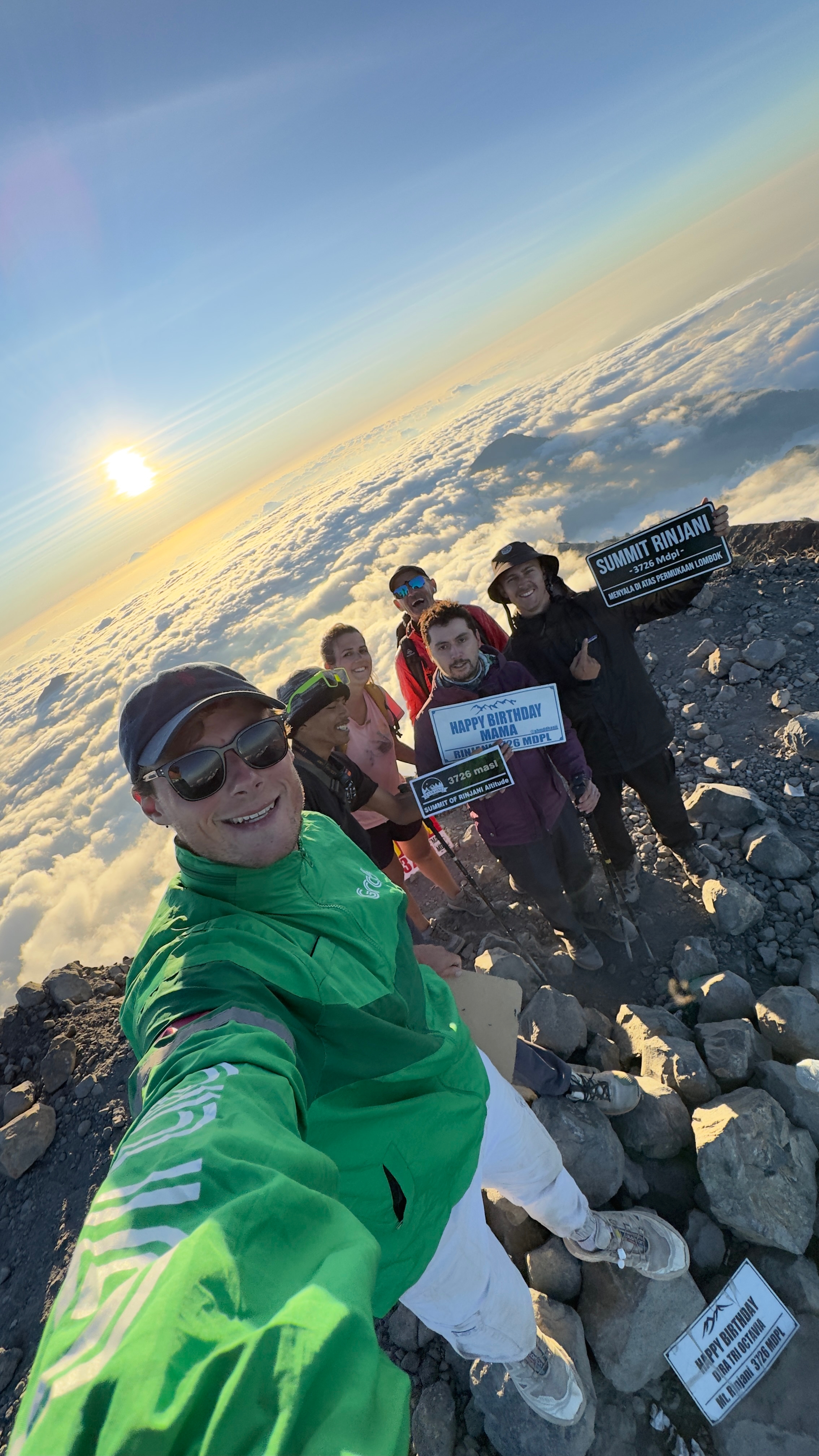
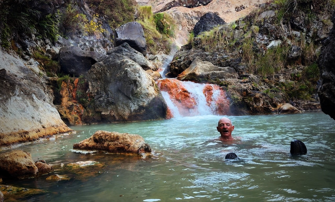
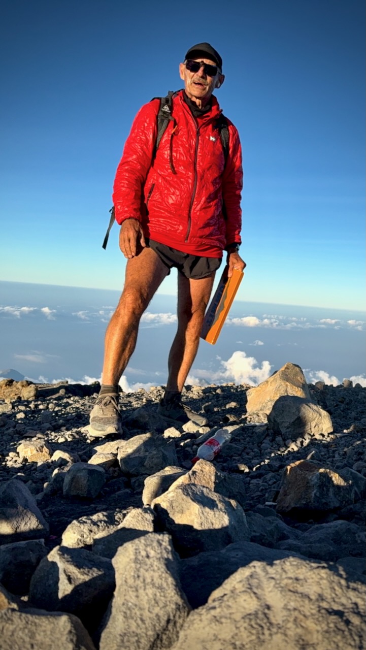
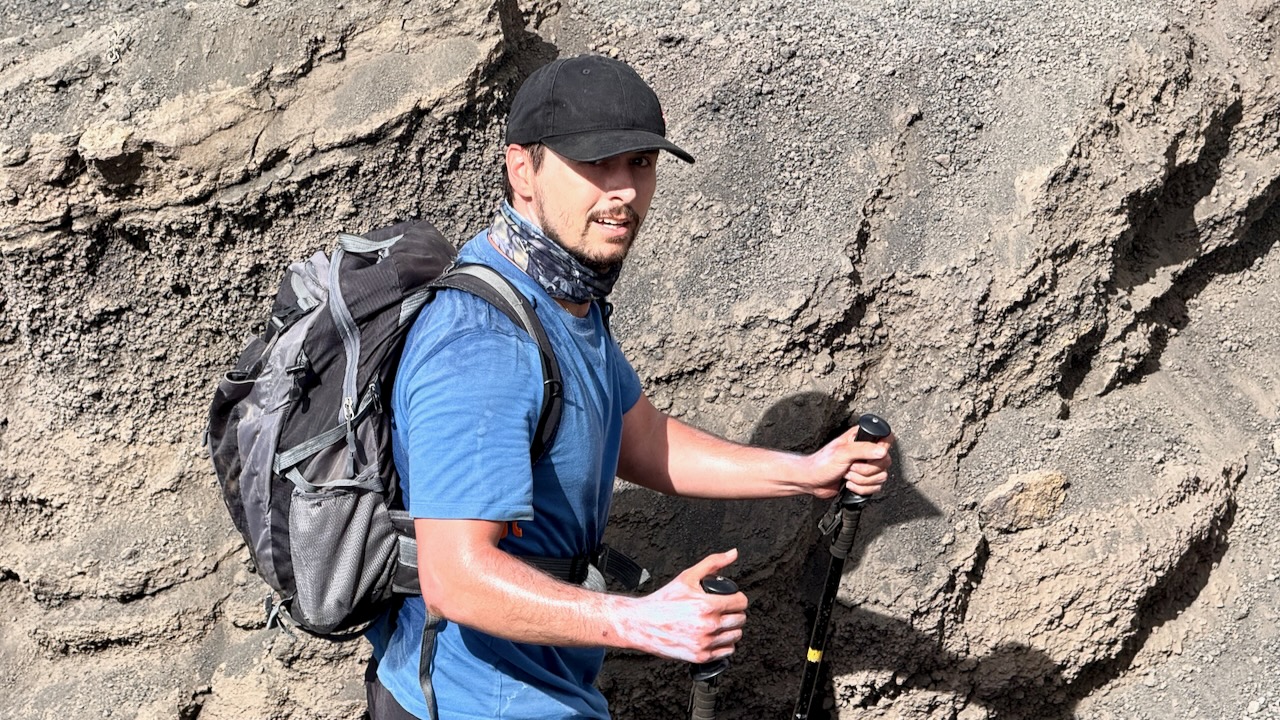
Tim’s great selfie (tim_de_bruijn on Instagram)

Awoke at the lake before dawn.ย  Went straight to the hotsprings on my own.ย  Had the hot bath to myself.ย 

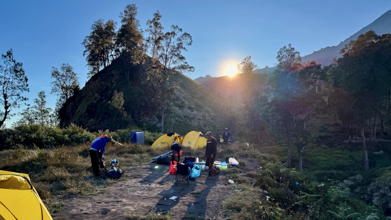
We packed up camp quickly.ย 

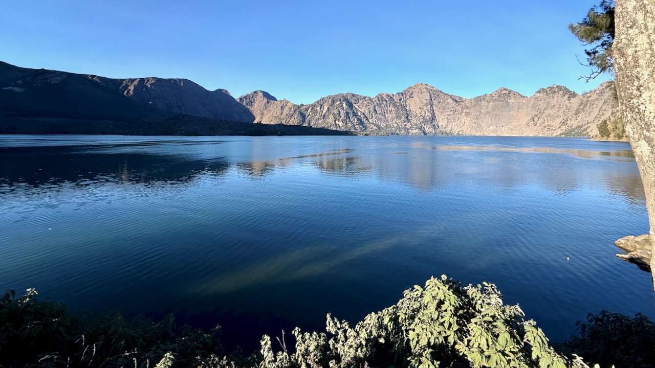
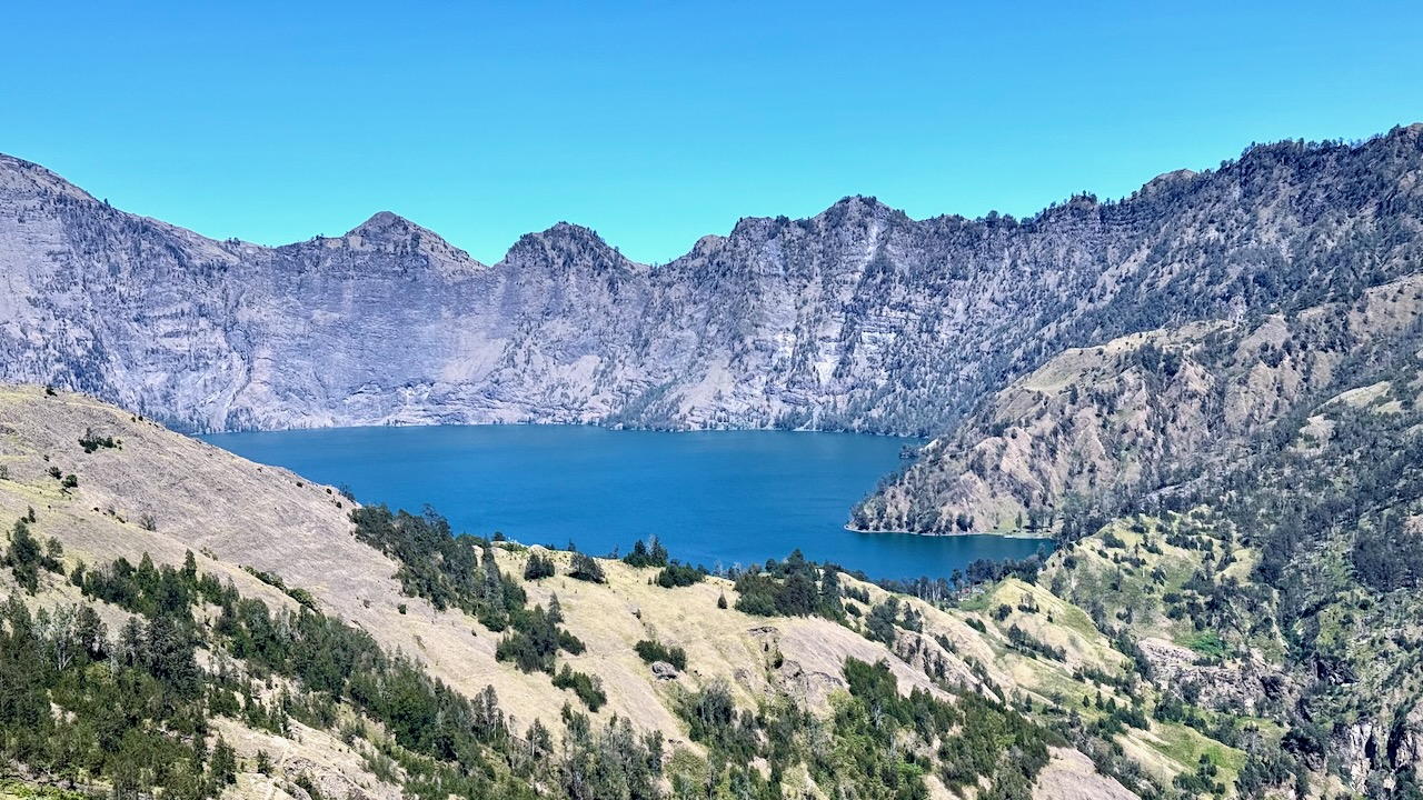
Said goodbye to the lake.ย 

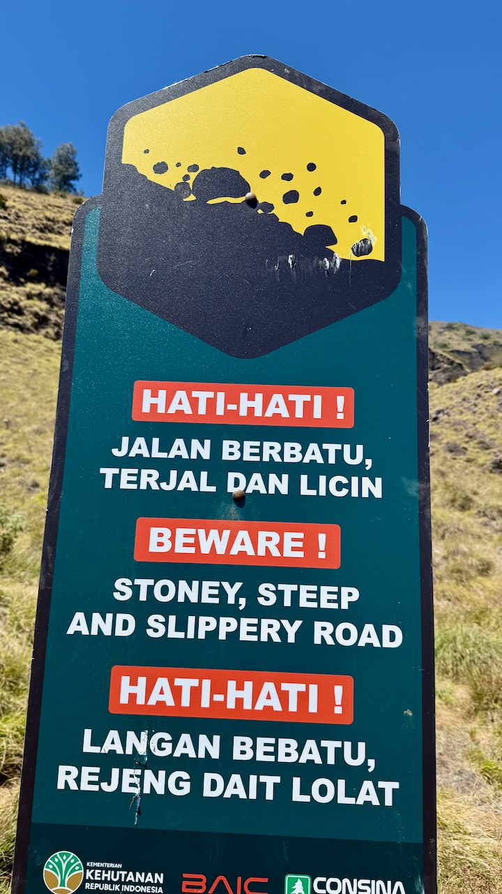
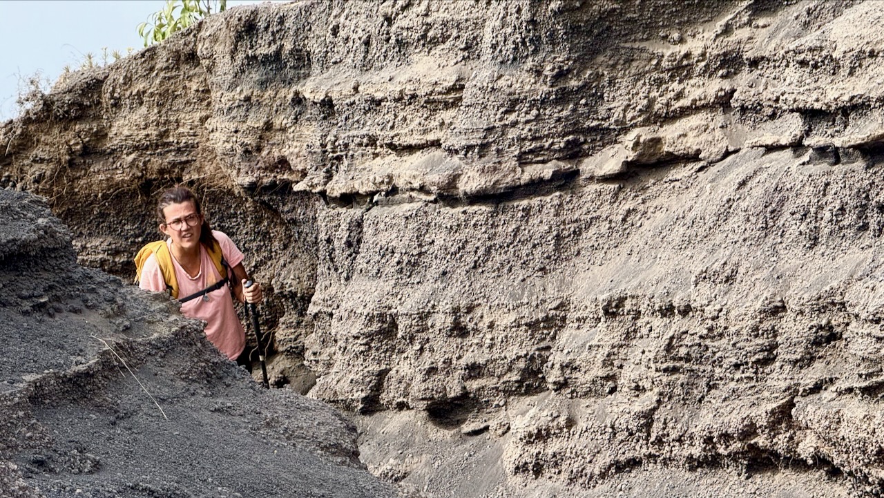
There are only a few bridges on this adventure.  More often you scramble down โ€” and back up.   It must be miserable in the rain. 
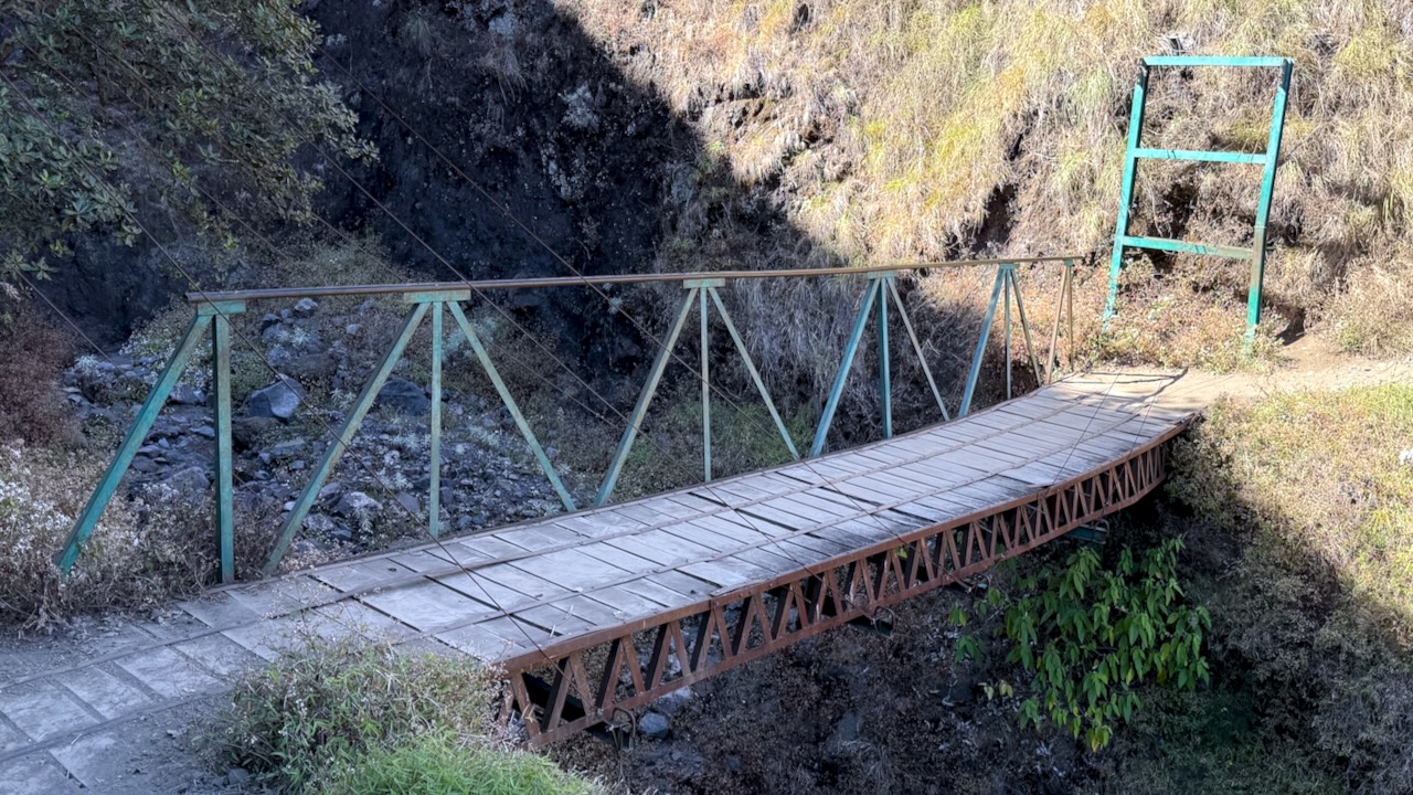
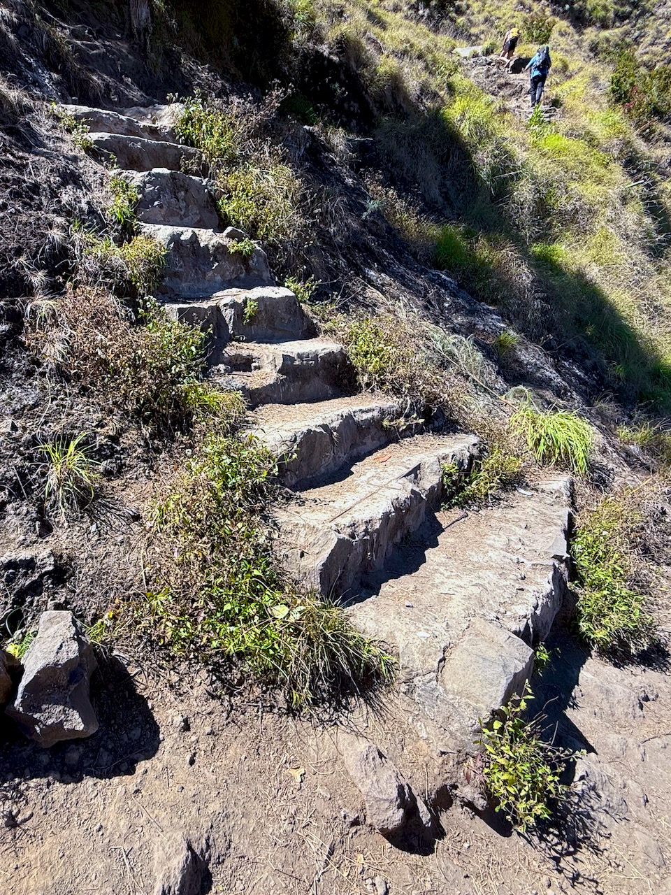
Rarely are there stone steps.ย  This ainโ€™t Nepal.ย 

We had about 600m to gain back climbing up to the 2nd crater rim from the lake.ย 

It was tough.

When I say tough, in addition to being technical, we increasingly had to deal with slippery ash. ย 
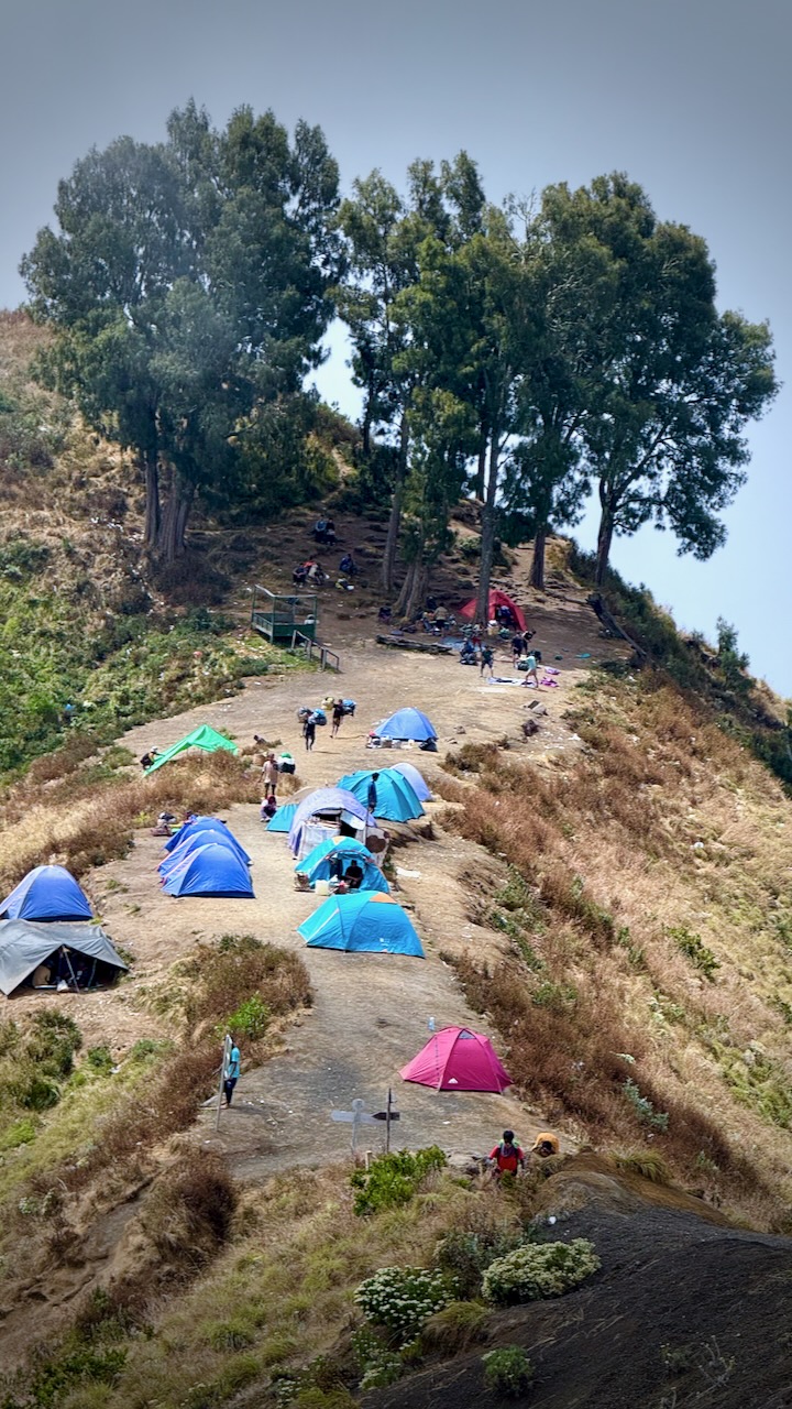
Once on the ridge, we set-up our tents. Had lunch.ย  Then a short lie down until 2pm. ย 

One of these pests actually went inside Mason’s tent while he was there! Cheeky.
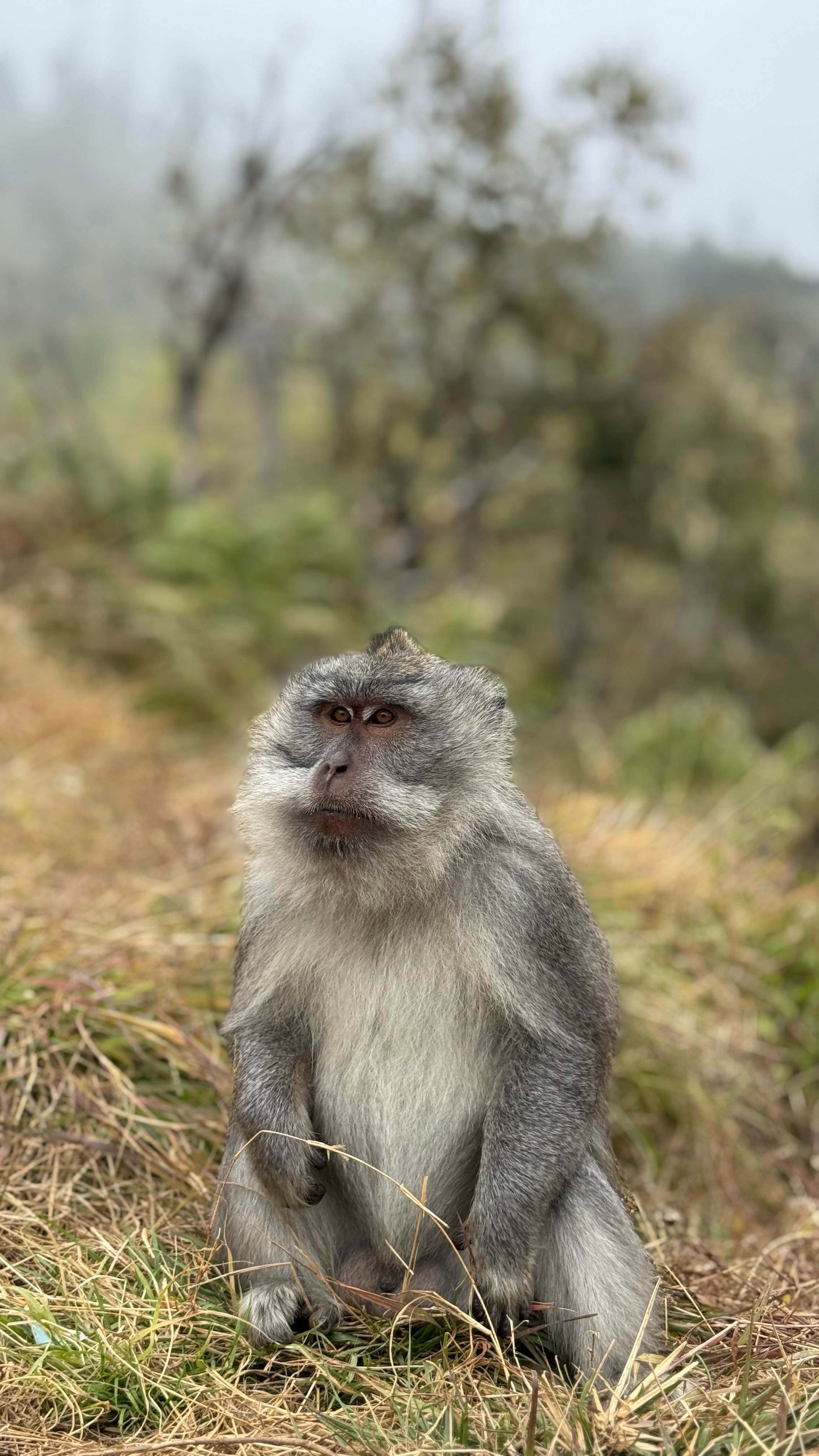
Tim’s photo (tim_de_bruijn on Instagram)

Weโ€™d decided as a group to go for sunset today rather than sunrise the following morning.ย  This turned out to be our best decision.ย 

That means weโ€™d climb another 1100m trying to get to the top before the sunset.ย  A deadline.ย 

It looked doable to me. 

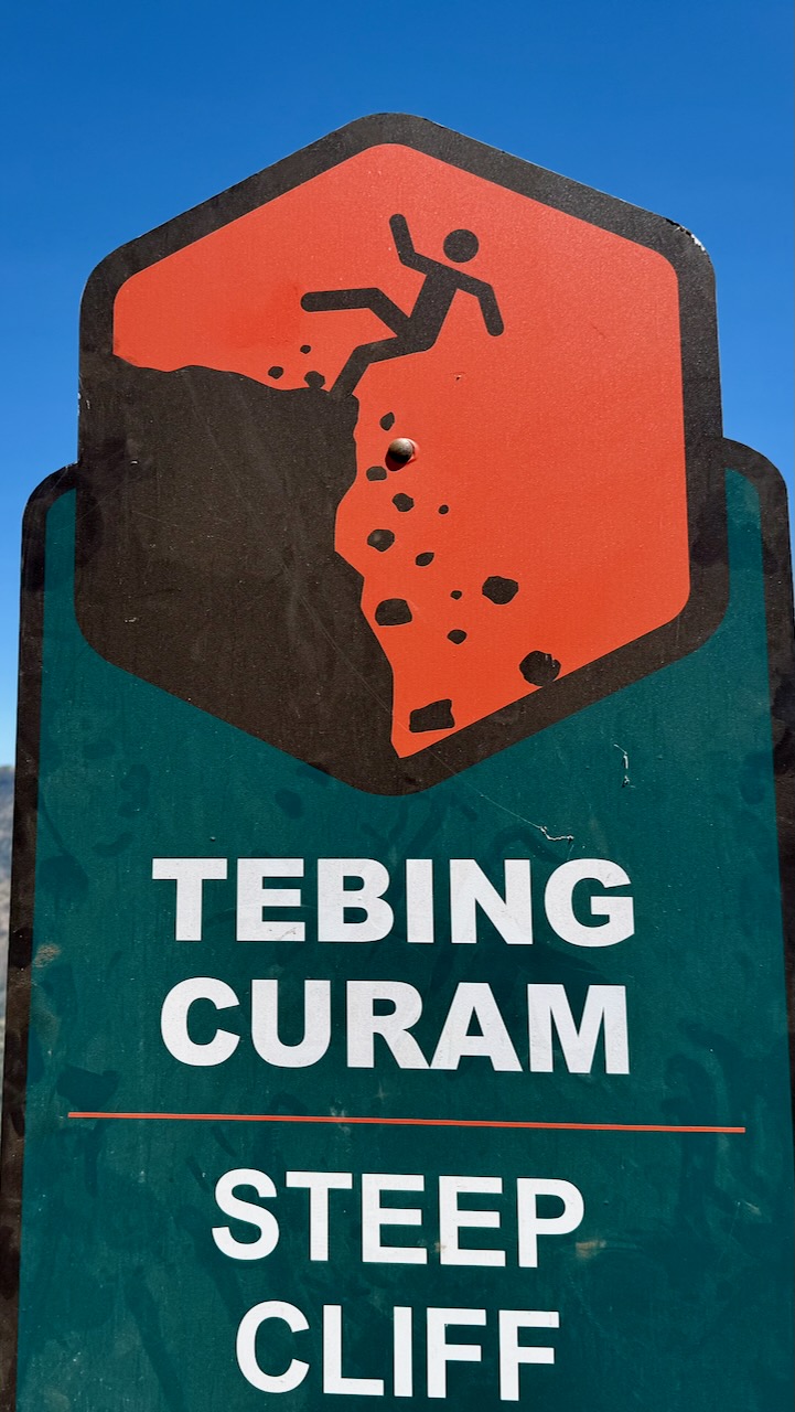
BUT it got increasingly slippery and dusty as we ascended.ย 

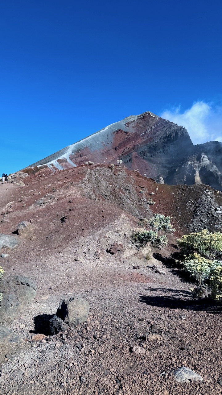
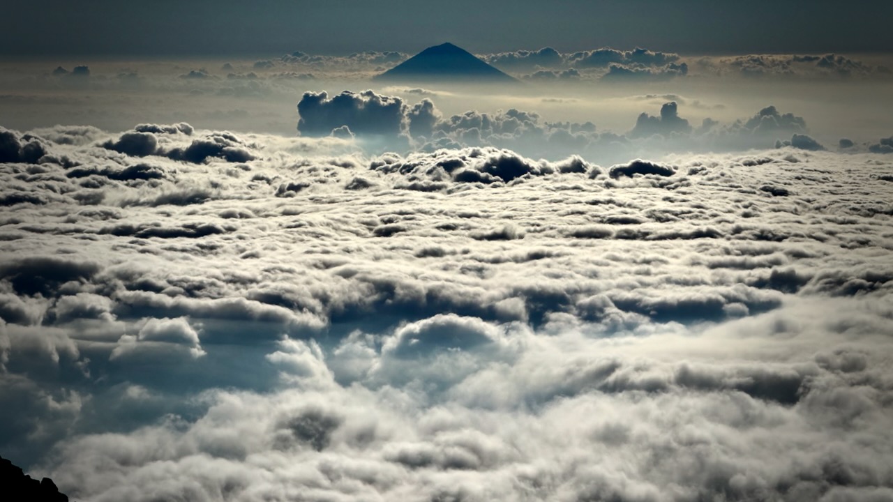
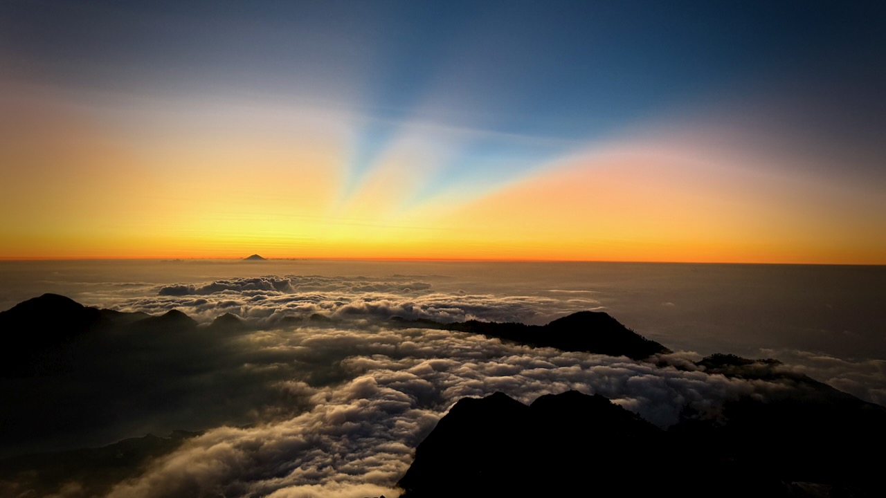
Once above the clouds, we were motivated by the amazing vista.ย 

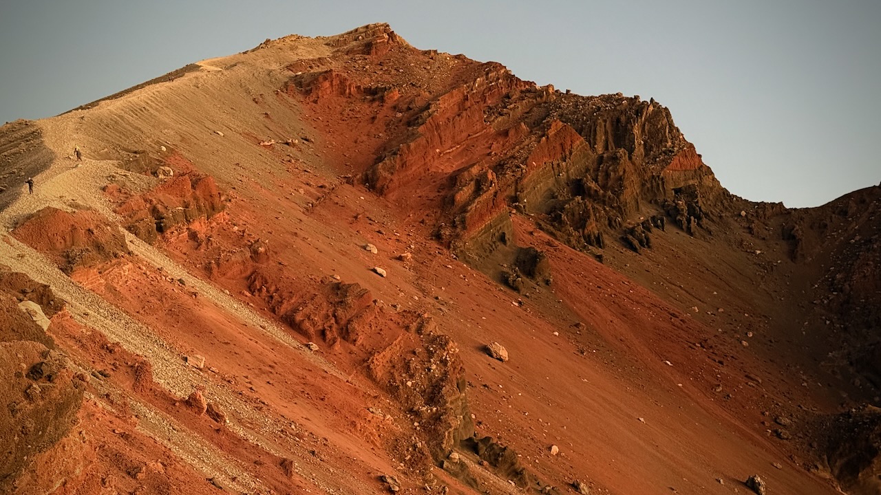
Gorgeous views โ€” though it was dusty plodding in sections.ย 

Very, very slippery โ€”ย we all used systems to keep scrambling slippery scree.ย  I did bouts of 20 steps.ย 

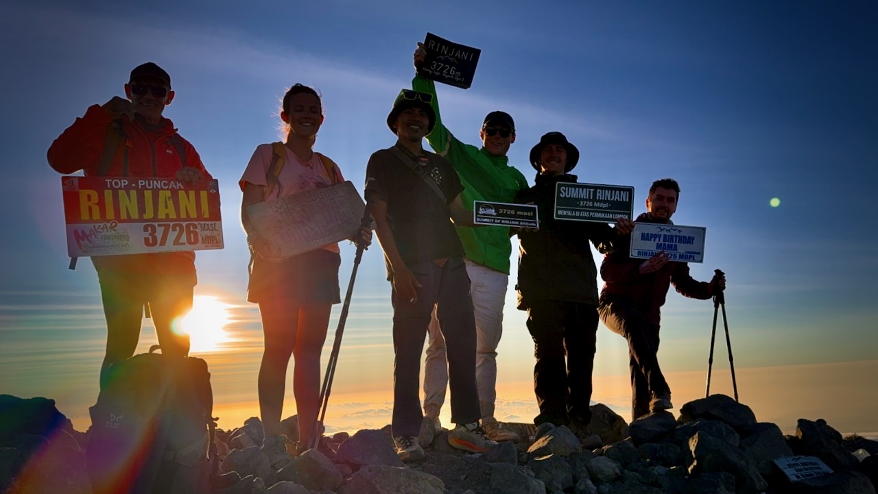
Made it!ย  And well before sunset. ย 

Only 1 other group tried our itinerary.  Perhaps half their group finished, just about sunset. 
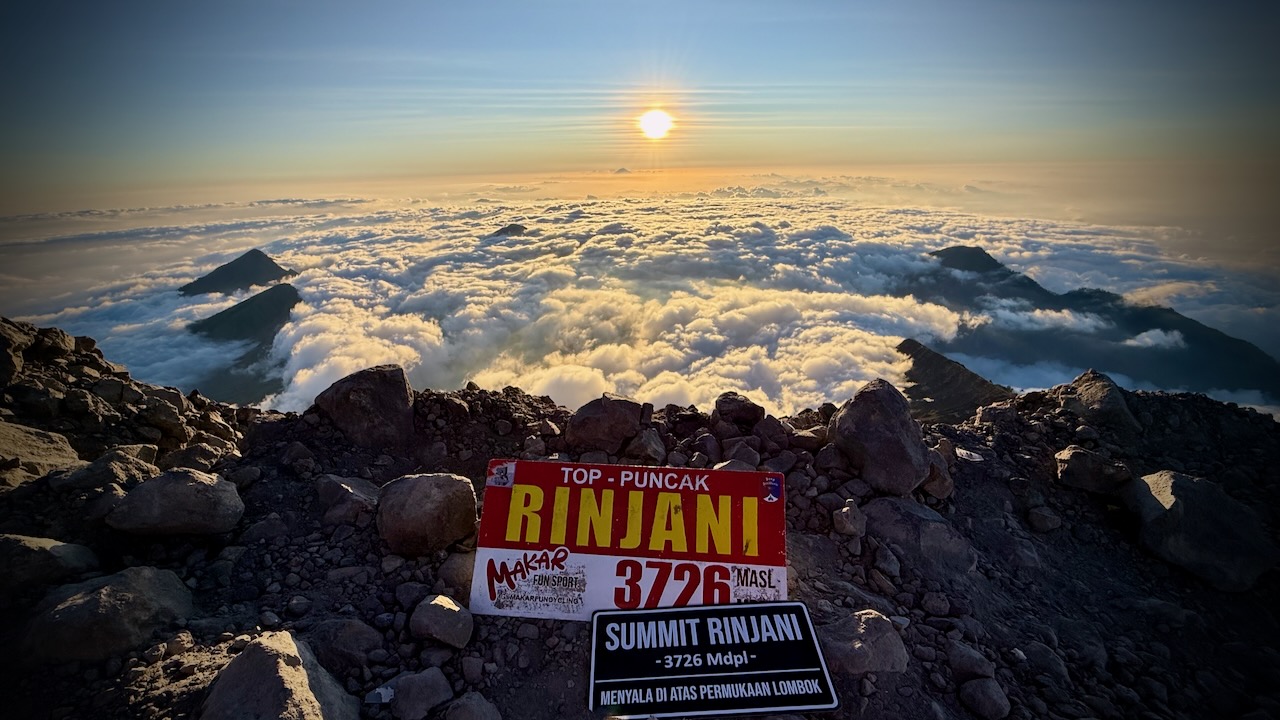
In fact, I left the top even before sunset as I wanted some visibility on the scree section at the top before it got dark.  
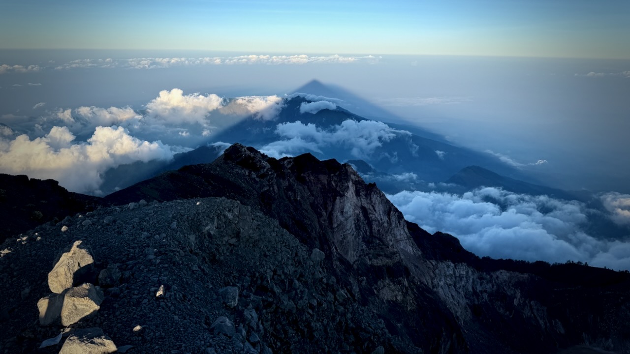
Descent turned out to be fairly easy.ย  Mostly screeing through the loose dust and rock (scree).
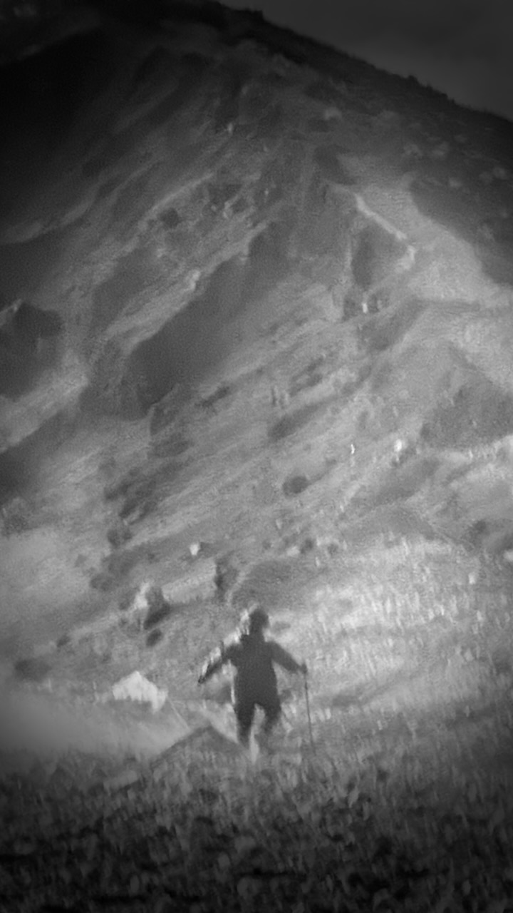
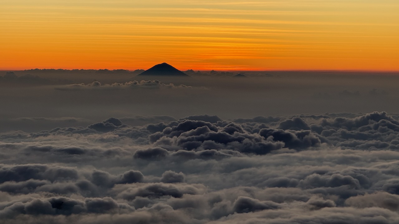
Views on the way down were even better than on the ascent. 
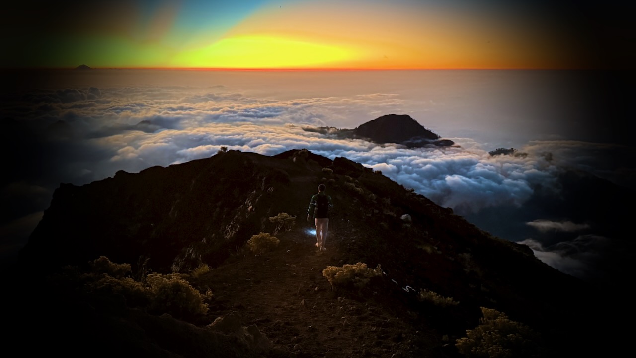
Eventually we had to turn on our headlamps.  I held mine in one hand, finding it easier to direct the beam. 
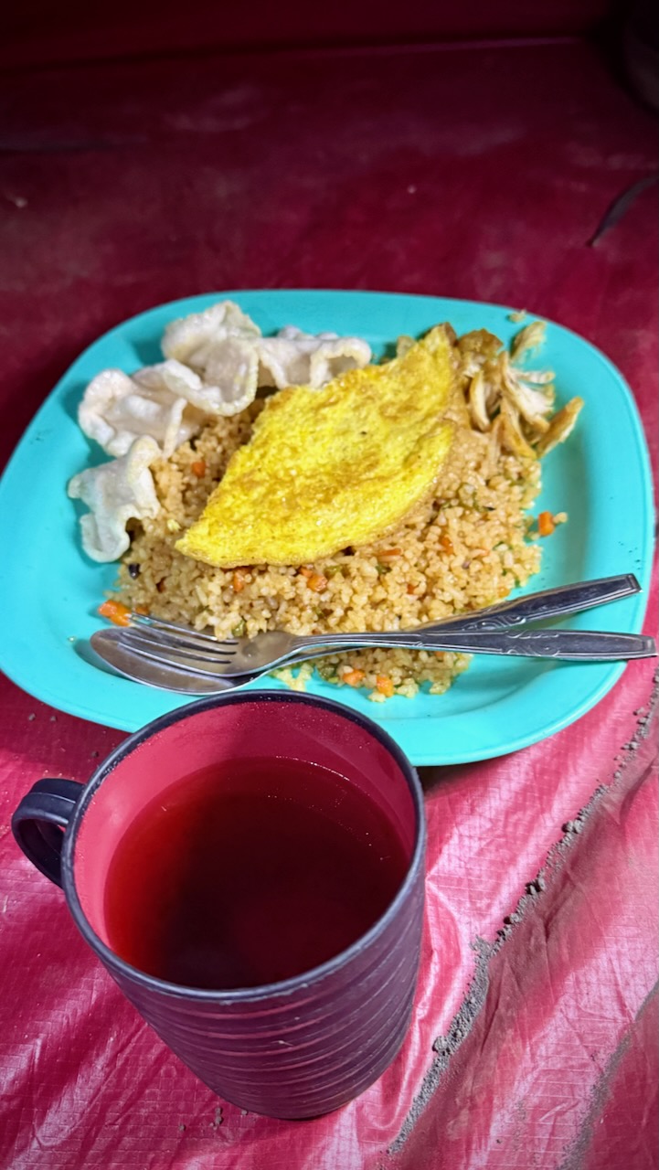
Exhausted, we had dinner in our tents.  And went to sleep early. 
Northover Ridge Loop Trail, Canadian Rockies

Trip report by BestHike editor Rick McCharles

This is the cool Canadian Rockies hike these days. BUT it’s more of a route than a trail.

As evidence, I bumped into two of the top hiking YouTubers below the ridge โ€” Eric Hanson and Justin Outdoors. We were heading opposite directions. Surprised and excited, I got a bit tongue twisted while chatting with them.

Slightly dangerous, Northover is not promoted by the Parks people.

I followed the route on AllTrails offline. No navigation problems.

My first tip is to WAIT for good weather. You don’t want to be on this narrow ridge in high wind and poor visibility.

Northover Ridge Loop Trail is 34km, 2290m in elevation gain. Most people do it in 2 or 3 days.

Foolishly, I did it in a day and a half. ๐Ÿ˜€

On the drive up to the trailhead in Peter Lougheed Provincial Park, I had a good look at momma bear and 2 young ones. I saw another juvenile bear on the drive out. None on the trail.

I booked at Aster Lake Campground before driving up. By doing this I’d decided to hike it clockwise looking down at the map. But you can do the loop in either direction.

Peter Lougheed Provincial Park NOW requires a Conservation Pass if you have a vehicle. In 2025:

  • Daily Pass: $15 per vehicle
  • Yearly Pass: $90 per vehicle

My campsite pass was checked by Rangers. They do a great job here.

Click PLAY or watch my Northover on YouTube.

A great adventure. I highly recommend Northover IF you have good weather.

Here’s how the same 2 days went for Eric Hanson and Justin Outdoors. Click PLAY or watch it on YouTube.

Related – trip report by HikeBikeTravel

Cape Scott Trail, Vancouver Island

Trip report by BestHike editor Rick McCharles

I hiked the North Coast Trail in 2012.

Vowed to return to the beaches on the Cape Scott Trail. One day. The best part of the North Coast Trail.

In 2025 I waited for good weather. And headed back to this paradise.

The worst part of this adventure is the 60km drive in on a gravel road. Bring a good vehicle.

Highlights for many in this remote N.W. corner of Vancouver Island is wildlife. Especially bears and the quickly evolving coastal wolves.

The trail itself is super interesting. Plenty of boardwalk.

Some of the old growth trees were cut in the past. But there’s still plenty of fascinating greenery.

First stop is fantastic San Josef Bay (3-4km from the parking lot).

stunned at the magical scenery ๐Ÿ˜€

From there, I continued on to the biggest and best beach of all โž™ Nels Bight.

There are a couple of campsites on the way with platforms.

Continue to Nels if you have the time and energy.

This was close to where I camped in 2012.

Sunset was fantastic on the west coast.

Here’s the view from my tent.

No photo editing.

Pit toilets are decent.

Be sure to lock up all your food on arrival as bear sightings are almost guaranteed. (I saw only 1 bear next morning. Unlucky. Everyone else saw more.)

Weather on awakening was far more typical. Overcast with fog.

It can be very muddy. Bring good footwear.

On the return to the parking lot, I stopped to read signboards and visit the historical sites.

From 1896-1907 approximately 100 Danish settlers attempted to establish a self-governing farming and fishing community. It was extremely difficult.

A 7-foot-high dyke built to protect these flatlands was wiped out the 1st year.

Later, the government offered incentives to all. By 1912 more than 600 people were homesteading in the Cape Scott area. By 1917 most of the settlers had left the area, leaving behind whatever they could not easily pack out, including farm tools, buildings, stoves, machinery, and vehicles.

Walking out seemed to go more quickly than walking in. That often happens to me on out and back hikes.

Always a pleasure to hike temperate rain forest.

I do hope I get back to the beaches at least once more in this lifetime. ๐Ÿ˜€

2025
paradise - Nel's Bight, Cape Scott Trail, BC
2012

Surprisingly, I saw not one wolf in two days. I’d seen plenty in 2012.

Top 10 Hiking Destinations โž™ Australia

We love Australia. Who doesn’t? What’s not to like? It’s paradise Down Under.

What an exotic treat to have kangaroos and wallabies hanging about your campsite!

A.I. generated image

“Stunning rocky headlands and perfect beaches, lush rainforests, sun-sharpened deserts and the muted beauty of the bush waking to the trail in Australia offers a kaleidoscope of colours, terrains and adventures for walkers of all levels.” – LP

You have such a wealth of choices: the Blue Mountains (NSW), Whitsunday Islands (QLD), dense subtropical rainforest in Lamington National Park (QLD), Larapinta Trail (NT) out of Alice Springs, wild Kakadu National Park (NT), the rugged Cape-to-Cape (WA) or pretty Wine Glass Bay in Freycinet National Park (TAS).

More information on our Australia information page.

Our favourite hike in Australia is The Overland Track in Tasmania.

See our Overland Track Information page.

BestHike #10 – Overland Track, Australia

The Overland Track in Tasmania is one of our top 10 hikes in the world.

Click PLAY or watch a 1 minute introduction on YouTube.

Overland Track

The best & most famous walk in Australia.

Overland

AT A GLANCE

  • surreal, unique Tasmanian vistas
  • pretty lakes, tarns and waterfalls
  • exiting by ferry it’s minimum 62km (38.5mi) carrying a pack plus many possible sidetrips without a pack.
    • Elevation Gain: +4,793 ft / 1,461 m
      Elevation Loss: -5,160 ft / 1,573 m
  • 8000-9000 walkers / year in the past
    • 60 walkers start / day 2018 in high season
    • Oct 1 – May 31 Overland Track Pass reservations online
  • access by public transportation
  • easy-moderate hiking IF the weather cooperates
  • add challenging sidetrip peak scrambles if the weather is good
  • Nov – early May best months
  • possible to hike year round (snow travel during the winter)
  • 7-nights recommended. Start Ronny Creek. Finish Cynthia Bay.

Read more on our Overland Information page.

Waterton Lakes National Park, Canada

Born and raised in nearby Calgary, Alberta โ€” Waterton is my favourite Canadian National Park. I’ve been there dozens of times over the decades.

Many tourists rush to Banff National Park, missing Waterton. And that’s a shame.

Campsites book quickly, so reserve early. Several months ahead.

Gemma and JR posted their advice:

… aย three day Waterton Lakes National Park itinerary, based on our favourite experiences and the activities that I think showcase the best of the park. Weโ€™ve explored Waterton multiple times, across different seasons. …

For a quieter (and cheaper) trip, visit in mid/late May, June or September.ย …

  • Aย national park passย is required to enter and explore Waterton Lakes National Park
  • From 19th June to 7th September 2026, there are no admission fees for national parks and national historic sites operated by Parks Canada (Canada Strong program)
  • Mid/late May to late September is the best time to visit
  • Facilities, trails and services are more limited outside of this time period, especially during the winter months
  • Reservations for the Townsite campground open in January each year. The date is usually revealed on thisย Parks Canada pageย in late November, early December
  • In 2017, a major wildfire swept through the western side of Waterton (39% of the park). Burned trees are still visible in many areas. Learn more about the fire at the Visitor Centre

Waterton Lakes National Park 3 Day Itinerary: Hiking, Wildlife and Waterfalls

Click PLAY or watch highlights on YouTube.

Across the border is Glacier National Park, Montana.

One of our top 10 hikes in the world is Glacier North Circle which can include both parks. You will see a lot of wildlife in both.

Click PLAY or watch it on YouTube.

Visit British Columbia

For a hiker, B.C. is an ideal holiday destination.

  • Whistler
  • Garibaldi Provincial Park
  • Sunshine Coast
  • Vancouver
  • Okanagan Valley
  • Yoho National Park
  • Kootenay National Park
  • Mount Assiniboine Provincial Park
  • Vancouver Island
  • Gulf Islands
  • Squamish
  • Wells Gray Provincial Park
  • Mount Robson Provincial Park
  • Mt. Revelstoke National Park

Click PLAY or watch it on YouTube.

Englishman River Salmon Run, Vancouver Island

My parents live very near Englishman River โ€” and I hike, run, and cycle these exact trails when I’m visiting.

You can hike year round in this temperate rain forest climate.

VIPaerials captured the annual salmon run … alongside a black bear. I’ve never once seen a bear at this location as there are a lot of people around. BUT the easily available salmon are a great temptation.

Click PLAY or watch it on YouTube.

10 days Solo – Larapinta Trail, Australia

Laura Waddell had a terrific adventure in May.

Theย Larapinta Trailย is an extendedย walking trackย in theย Northern Territoryย of Australia. Its total length covers 223 kilometres (139ย mi) from east to west, with the eastern end atย Alice Springsย and the western end atย Mount Sonder, one of the territory’s highest mountains. It follows theย West MacDonnell Ranges, sometimes along the ridge line, other times on the plain below, in theย West MacDonnell National Park. …

During the summer months, temperatures along the trail can exceed 45ย ยฐC (113ย ยฐF) leading to risk of heatstroke and dehydration. Most people walk the trail during winter when the days are cooler.

Click PLAY or watch it on YouTube.โ€‚(25min)

Top of Innsbruck, Austria

Trip report by BestHike editor Rick McCharles

Directly from Innsbruck city centre, you can ride the Nordkette Cable Car to Hafelekar station (2,269m).

I did the surprisingly rugged hike from the Top of Innsbruck to Pfeishรผtte โ€” for a delicious pasta lunch.

Click PLAY or watch it on YouTube.

It’s called Goetheweg: Karstube to Pfeishรผtte on AllTrails.

  • 6.8km one way (13.6 return plus side trips)
  • 330 m elevation gain one way
  • see Zugspitze: the highest mountain in Germany

You might guess the challenge is ridge walking โ€” but there’s nothing with exposure.

I was wearing trail running shoes in late June. And they were NOT sufficient for the snow, ice, and loose scree. At minimum wear approach shoes. Most Europeans were wearing light hiking boots.

Poles would help for sure. If I did it again I’d carry YakTrax, just in case.

The weather kept changing. My jacket went on and off a dozen times.

Your lift ticket includes entry to the Alpenzoo which we did on the way back to Innsbruck.

It’s small, but well worth the stop. The focus is on animals indigenous to the Alps, though there are over 150 animal species. It’s built on the vertical slope of the mountain.

I was most enthusiastic to see the European Brown Bear and Lynx.


If you get to Innsbruck, this hike is highly recommended. A terrific hiking day.

Note โž™ it’s Europe, so there are easily a dozen variations to this route. You do not need to backtrack, for example. 10Adventures suggests hiking late in the day โ€” sleeping at Pfeishรผtte โ€” and walking out day two.