by site editor Rick McCharles
The high Pass loomed. I was up and packed early, waiting for the restaurant to open at 6am.
Happily, sunlight reaches Manang early.

My stomach felt fine. Weather was fantastic. I spun every prayer wheel in town I could.

I was going to cross the Thorung La.

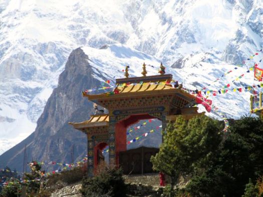
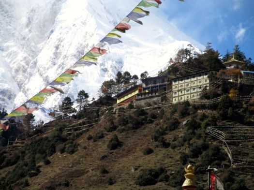
I really enjoyed Manang. And would happy to go back any time.

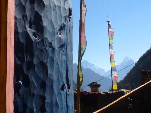
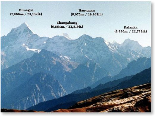
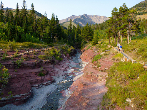
It’s high and dry above Manang. True rain shadow. True Tibetan plateau.

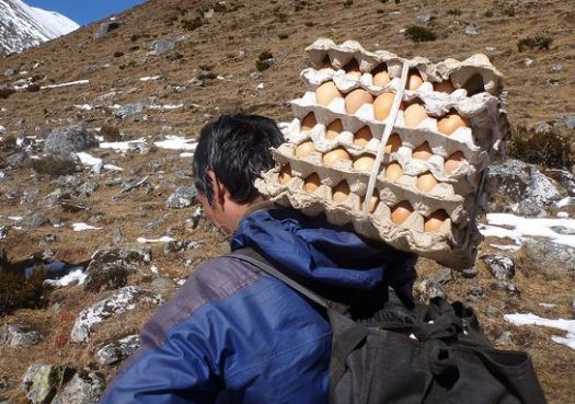
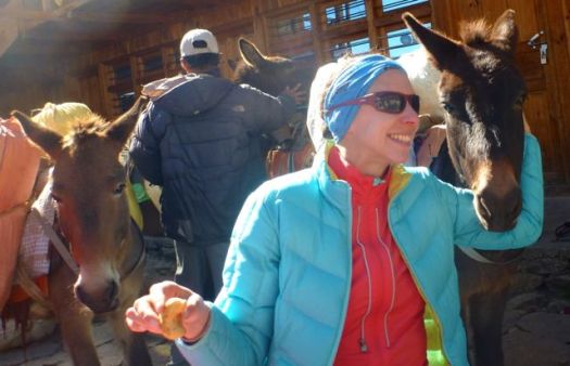
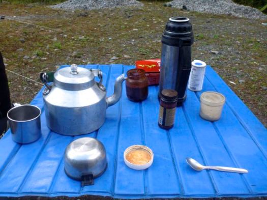
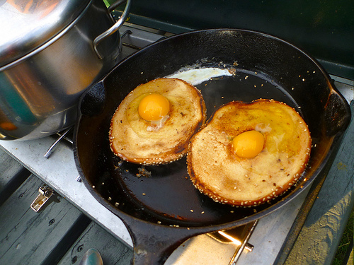
I couldn’t resist stopping for brunch here.

Carbo loading for the Pass.

This hiking day was all good.

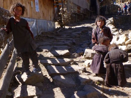
People had smiles on their faces, happy to be in clear November.

It was looking pretty easy from here. I expected another early arrival in Camp today.

I stopped to take photographs of one unusual Himalayan sight – a burning barrel.

It’s obvious to me that the easiest way to dispose of trash way up here, is to burn it. Instead Nepalis throw it off a cliff. Or into a river. 😦
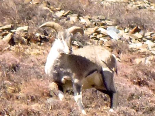
I’m not sure why George Schaller had so much trouble finding Blue Sheep. If they got any closer to me on this Trail, they’d be on my plate. 🙂

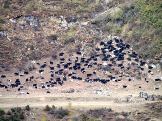
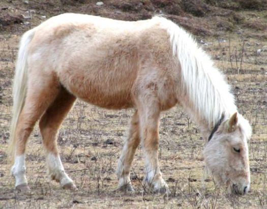
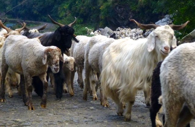
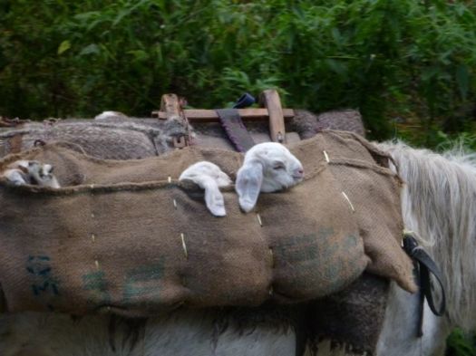
With all this sunshine and mild weather, there were still plenty of Yaks & ponies grazing. Ponies are used for emergency transport of altitude sick hikers.

This pika seemed to be looking for a tourist handout.

Up and up.
The afternoon was taking far longer than I expected.

It was almost dark by the time I reached Thorong Phedi 4420m.

I got the second last available room.
What a location!

Many take an acclimatization hike up towards the Pass after arrival. I was too late. Too tired.
Instead I enjoyed the last rays of the sun.

That night was fun. Japanese girls flirted with their porters in the dining hall.
The last hiker to leave the table, I saw a brazen rodent cleaning up scraps from the floor. It’s almost certain that mice get into the food. Standards of hygene are low in the Himalaya, especially in Thorong Phedi.
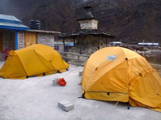
Safest would be to sleep in a tent. Cook your own food.
You are advised to drink as much as possible at altitude. I did. But that means a number of trips to pee during the night.
And it’s COLD above 4000m.
see high resolution photos from this day on flickr
day 1 | day 2 | day 3 | day 4 | day 5 | day 6 | day 7 | info