trip report by editor Rick McCharles
day 0 | 1 | 2 | 3 | info page| video
Next morning was sunny. Mendoza enjoys 330 days of sun a year.
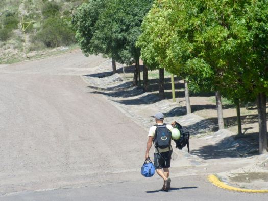
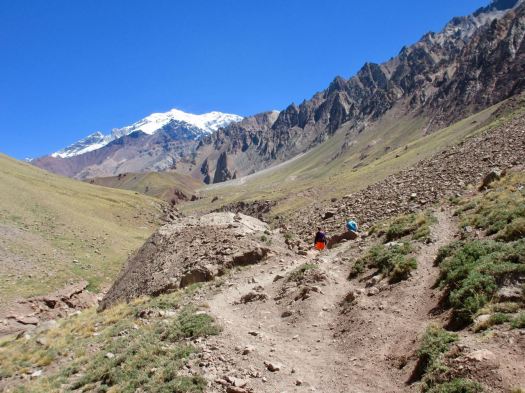
With only a 3-4 hour walk in gaining about 400m, I packed heavy.

There are 3 buses a day from Mendoza to the Aconcagua Provincial Park. Go early to the Mendoza bus station and buy a ticket in advance on the Buttini Bus. Seats are assigned. Ask for a window on the right side of the bus. Cost one way in 2018 was AR$130.
Roberto sat down beside me on the bus. He’s a rafting guide from Guatemala who’s worked all over the world. 15 years on the Arkansas river in Colorado, for example.
In 2018 he’s finally guiding the Grand Canyon. Those trips are decided on by a lottery system. He jumped off at Potrerillos where he was visiting a friend, another guide.
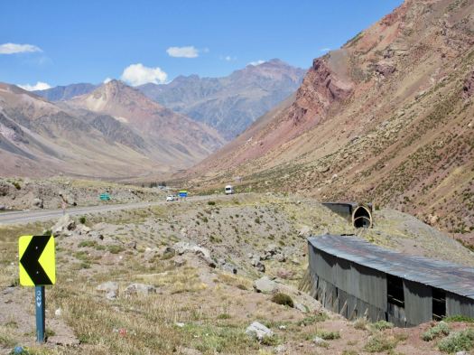
I was headed back towards Santiago, Chile on the same scenic highway I’d traveled on an express bus. My local bus stopped everywhere taking 4 hours to get back to close to the border with Chile.

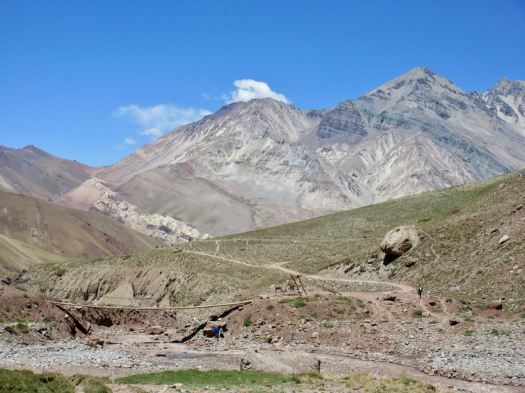
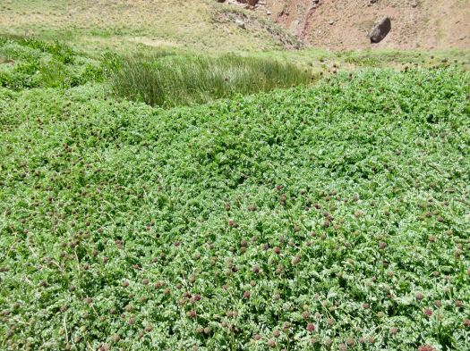
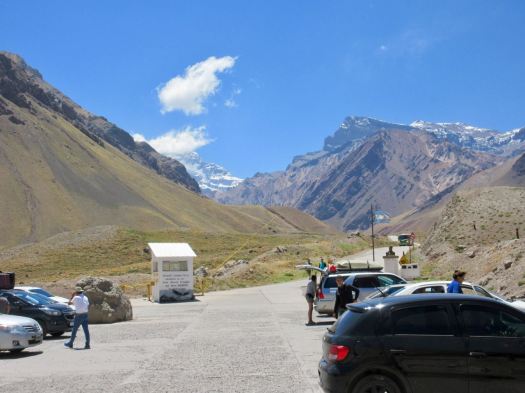
The Parque Provincial Aconcagua office on the highway is quite well organized. We had our permits checked and strictly informed that all trash must be returned in a numbered bag back to this office.
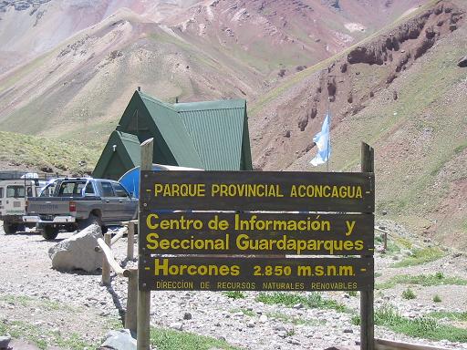
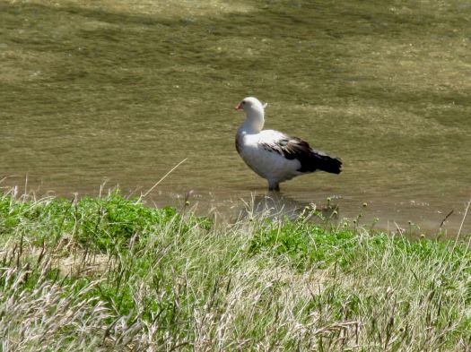
Day hikers can walk a short way up the valley towards the big mountain for $10. (foreigners $25.50)
It’s a popular stop for tourists.
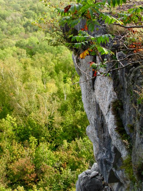
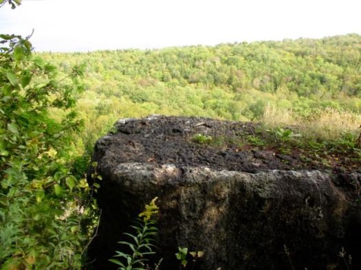
In fact you get quite a good view of Aconcagua from the highway. For free.

You need to walk up a paved road to the parking lot before getting started.
 I was to be surprised how many helicopters race up to Aconcagua every day. Two are parked here at the entrance. Ready to go.
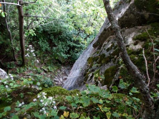
 Only those with trekking permits can cross the river. I felt I was finally on the Francia trek.
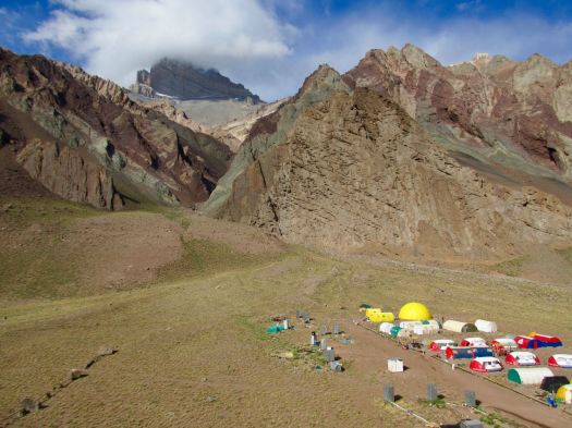
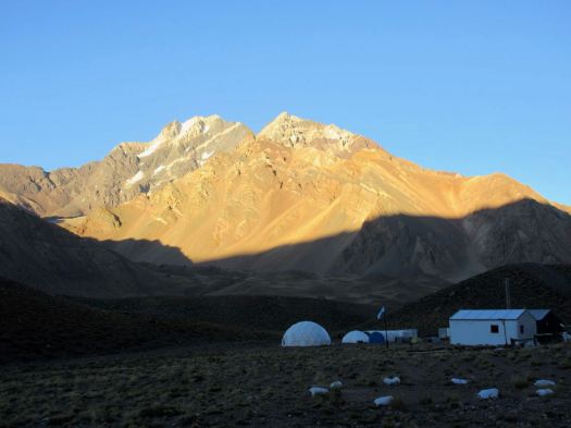
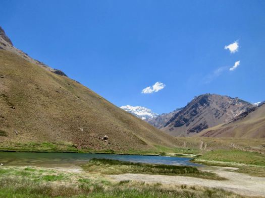
 Excited, I rushed up to Confluencia camp (3350m) as quickly as I could.
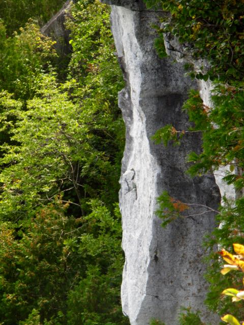
 It looks much more impressive from a distance than up close.
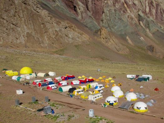 In fact, it’s rather crowded and dirty.
Guided clients sleep in one of the company fixed tents.
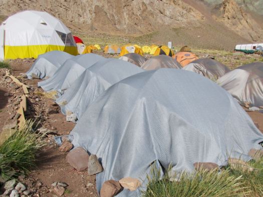
 When not in use they are protected.
 I do like their big bright shared areas.


It was late afternoon, the sun already passed behind the mountains.
 On arrival you check in with the camp guards. They directed me to the tiny area where independent campers are allowed to pitch. We are definitely second class clients here.
 Toilets are BAD for guided clients as well as independents.

Chilled and surprisingly tired, I crawled into my sleeping bag and had a nap. I had a slight altitude headache but no other symptoms.
Eventually getting up, II wandered around early evening, enjoying nightfall.

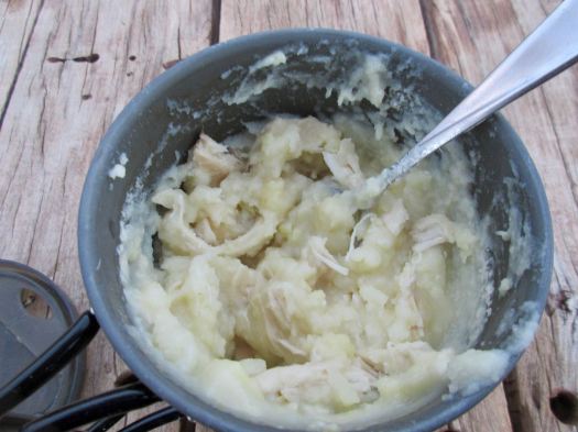
There’s a convenient picnic table with good water supply for independent hikers. I had my standard Knorr soup with instant mashed potatoes. Barbecue chicken mixed in.
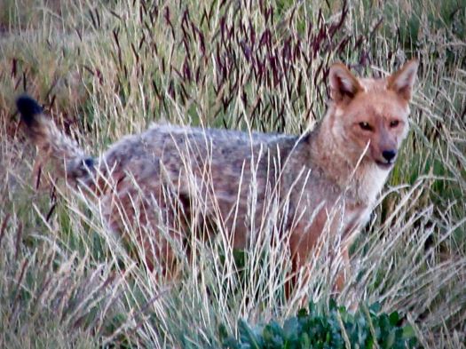
 Cheeky Andean fox tend to show up at campsites about dusk. I saw this one hanging around at dinner hoping for leftovers. And another two in the early morning.
 BIG day tomorrow. I tried to get as much sleep as I could at 3350m.
Half the crowded camp wanted to rest. The other half to party. Bring headphones or earplugs.


 On a rest stop I laid out my basic gear to dry.
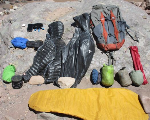
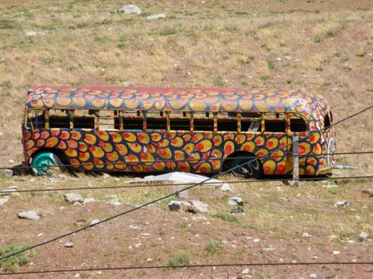
 It’s a tourist trap with overpriced junk and yappy dogs.