South Lykken Trail, Palm Springs

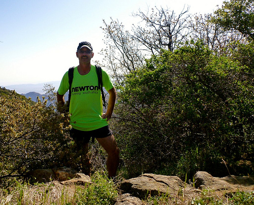
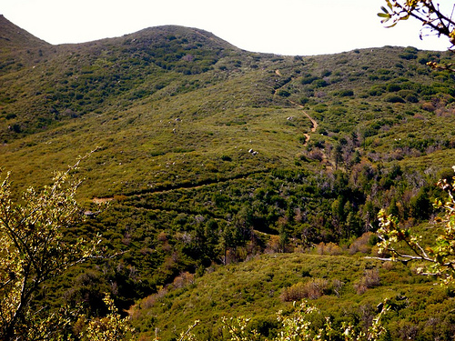
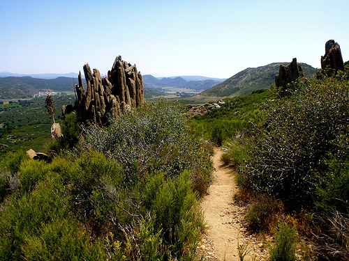
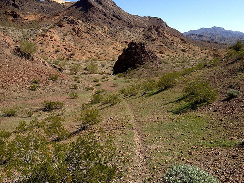
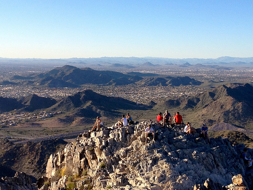
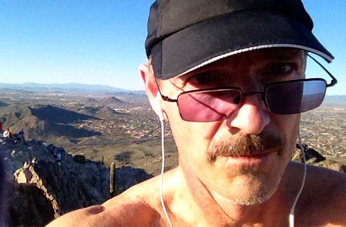
Just behind my cheap motel (Desert Inn $40) in downtown Palm Springs was the South Lykken trailhead.

One afternoon I hiked. The next I did a trail run.

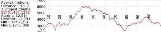
trail run

Palm Springs

elevation gain

more of my photos from those day hikes

… the North and South Lykken Trails are named in honor of Carl Lykken, Palm Springs’ first postmaster. …

related – Hiking in Palm Springs

PCT day 2 – Mount Laguna back to Lake Morena

trip report by editor Rick McCharles

I knew next to nothing about PCT hiking strategy.

But it seemed a no brainer to catch one of the many available Angel rides up to Mt Laguna at mile 43. And hike downhill to Lake Morena at mile 20 … rather than uphill.

A_elev

Yet very few hikers did so.

Rick

Beautiful country.

trails

PCT

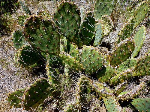
cactus

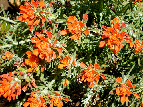
flowers

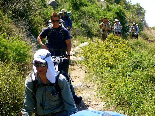
I passed hundreds of sweaty, hot thru hikers climbing. It was interesting to check their gear. And their hiking systems.

hikers

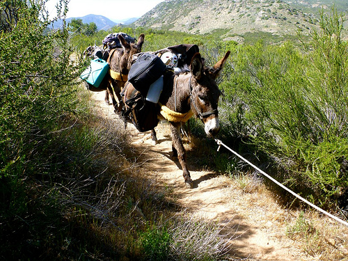
No mountain bikes are allowed. But trail riders and beasts of burden are welcome.

beasts

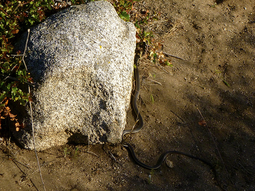
Several hikers had seen Rattlesnakes. I saw 3 of these guys. A gopher snake, I believe.

click for larger version

It seemed to take FOREVER to get back to the Kick Off campground. Yeesh.

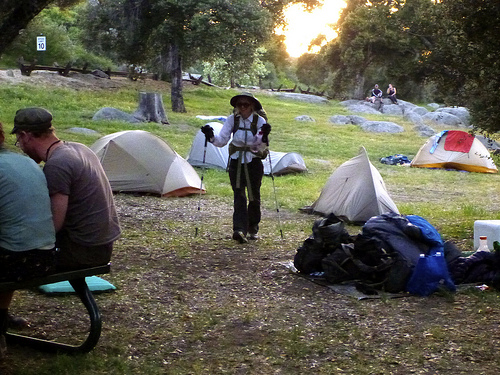
campground

I grabbed a shower. Then enjoyed free chile provided by Trail Angels.

Feet sore. Some blisters. Confidence shaken. … I wasn’t at all sure I’d be able to hike day 3. 😦

more photos

PCT day 1 – Mexican border to Lake Morena

trip report by editor Rick McCharles

Everyone was excited to get to the Mexican border, the start of the Pacific Crest Trail.
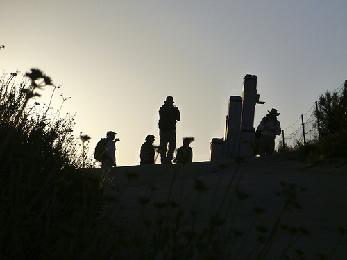
hikers Mexico

Trail angels drove clean hikers here the 20 miles from ADZPCTKO 2013. (Annual Day Zero Pacific Crest Trail Kick Off)
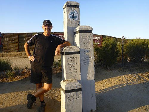
Rick Mexico

The infamous fence between Mexico and the USA was less impressive than I expected.
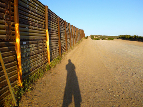
fence Mexico

A savvy coyote would dress his illegals in hiking clothing. And tell them to march north on the PCT.

Lovely scenery to start. Much greener than you’d think.
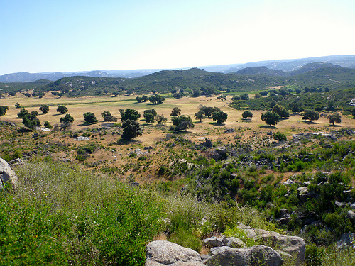
landscape

Interesting and colourful desert vegetation.
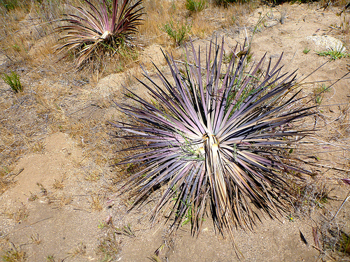
cactus

I dropped a Summit Stone conspicuously on this rock. This trail will be super busy only for about 3 days.
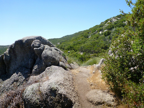
Summit Stone

The first 15 miles seemed easy, the heat not a problem this day.

… Then we got a look at these switchbacks.
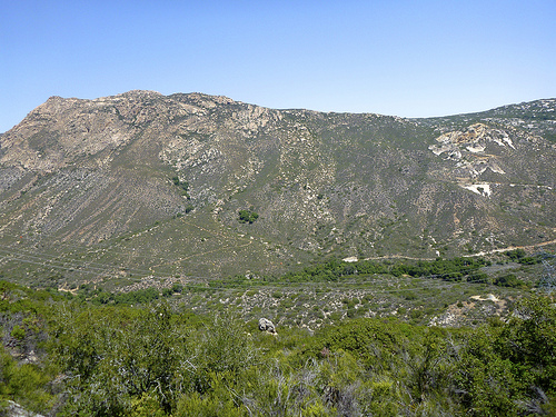
switchbacks

I cooled my feet and psyched for the climb.

cool feet

A second wind got me up there. But well meaning angels had left BEER at mile 18.
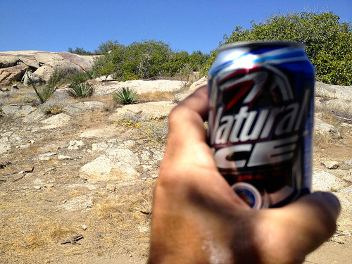
beer

Smarter hikers than me resisted.

I had to drag myself the last 2 miles to camp. Where free and delicious dinner welcomed.
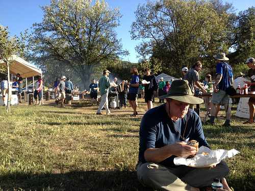
free dinner

The hot shower was much appreciated. I slept early.

more photos

50 miles to Petra

An article by Trailblazer’s Tony DaSilva — World’s Best Hikes: Petra Through the Back Door, Jordan — caught my eye.

When I visited Petra in 1994, myself and an Aussie friend followed sheep herders down into the complicated gully system, assuming they would make their way down to water.

We were correct. And called it the “back door” to Petra.

This is a different back door.

details – Dana Reserve to Petra

50 miles, 7 days

… Go with Adventure Jordan, the local company that discovered this 50-mile route through the deserts, mountains, and peaks of Jordan.

Obama visited Petra — through the front door — just the other day.

petra_big

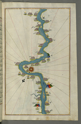
walking 4132mi down the Nile

Stretching for 4132 miles and crossing through ten countries, the Nile is the longest river on the planet.

… During the 19th century, the river inspired explorers to go in search of its headwaters. Numerous expeditions were mounted to map its length. But none of those explorers ever managed to walk the entire length of the Nile from source to sea.

That’s exactly what two British adventurers intend to do when they launch a 12-month long expedition later this year.

Levison Wood and Simon Clarke are in the final stages of planning for what they call the Walking the Nile expedition. The two men, who met and became friends while serving in the British military, say that they were inspired to undertake this epic trek by fellow countryman Ed Stafford. In 2010, Stafford famously completed a 4000+ mile long trek along the length of the Amazon. That journey helped Wood and Clarke come up with the idea of hiking along the world’s other great river – the Nile. …

British Adventurers Announce Plans to Walk the Length of the Nile

Nile

where’s Dead Burro Canyon?

… I really need to start hiking with a GPS. 😦

I set out into the Arizona desert with typically vague details I found online.

Dead Burro Canyon Trail is a loop hike for the adventurous around a mountain block through a deep scenic canyon in Havasu National Wildlife Refuge, a wilderness setting where very few trails exist. Look for wild burro and Bighorn sheep! …

As expected, I was quickly lost.

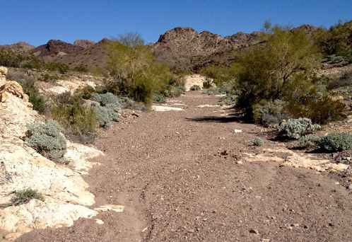
One wash looks much like the next.

wash

On the other hand, I enjoyed a solo morning off trail. It’s all good in the desert outside Lake Havesu, Arizona in February.

desert trail

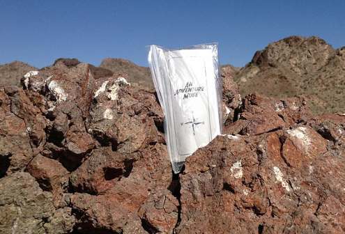
I dropped a Summit Stone atop one random stone mountain.

Summit Stone

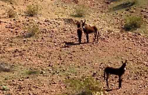
The highlight was finally spotting wild burros. LIVE ones.

burros

There were over 2000 of these beautiful animals running wild in Arizona as of 2010. They are regulated by the Wild and Free-Roaming Horses and Burros Act of 1971.

more photos

If you actually want to reach Dead Burro Canyon, my advice is to download the GPS track.

scrambling Piestewa Peak, Phoenix

False summits discourage some non-hikers, but I loved the most acclaimed urban peak climb in Phoenix, Arizona.

false_summit

Vistas from the top are fantastic.

summit

… The Piestewa Peak (formerly Squaw Peak) Summit Trail (elevation gain = 1,190 feet in 1.2 miles) is climbed thousands of times per week by locals and visitors seeking a cardio-vascular workout, great views, or a family outing. However, quite a few hikers do not actually reach the top due to the fact that this trail is more difficult than it looks, especially in the summer when temperatures are well over 100 °F. No water is available on the trail and dehydration is a common and serious problem with hikers who come unprepared. …

The hike itself takes anywhere from 15 to 60 minutes depending on each hiker’s capabilities in fair weather (higher temperatures and sunny conditions may force the hiker to take twice as long). A beginning hiker should allow 60 minutes for a leisurely ascent and 30 for descent. The path is mostly well marked.

… There are a few sections that are technically difficult as they are steep and there are no guard rails.

There are approximately fifteen miles of interconnecting trails in the Preserve, ranging from easy to difficult.

Arizona is one of the best places to hike in North America. In February. 🙂

Rick Piestewa

Death Valley timelapse

Adventure Blog:

… some amazing footage from Death Valley, featuring the expected scenic landscapes, interesting light play and changing shadows. But about a minute and ten seconds into the short film the images start to change dramatically, giving us nighttime shots of those same landscapes while billions of stars dance by overhead. The sense of scale that these images generate is nothing short of awe inspiring and makes you realize just how tiny our little rock truly is.

Click PLAY or watch it on Vimeo.

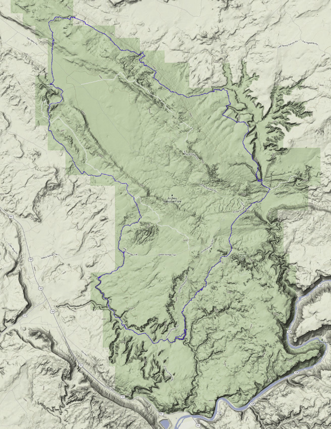
The (almost) Ultimate Arches Loop

… Getting a back-country permit at Arches is strange. They come just shy of discouraging backpacking and it was apparent that they don’t have many people asking for permits. This is likely due to the small size of the park, lack of water, and lots of absolutely pristine soil crusts (they require that you have camp set up by dusk so you don’t risk walking on soils after dark).

I started the trip at Wolfe Ranch and headed north up Salt Creek. I knew generally what route I wanted to take but had zero beta so knew there would be some adjusting on the fly. The first route change happened pretty much immediately. I had planned on going up Salt Creek and doing some exploring in Lost Creek Canyon, but the canyon above Freshwater Spring looked pretty interesting from the bottom so I decided to head up that way. …

read more on Out. Living.

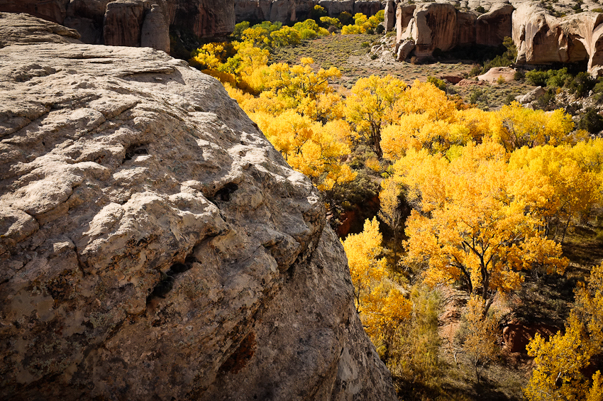
Fantastic photos.

I assume I saw that linked from Hiking in Finland. Where else?