trip report by besthike editor Rick McCharles
day 0 | day 1 | day 2 | day 3 | day 4 | day 5 | day 6 | day 7 | info page
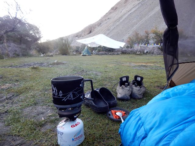
Morning coffee.
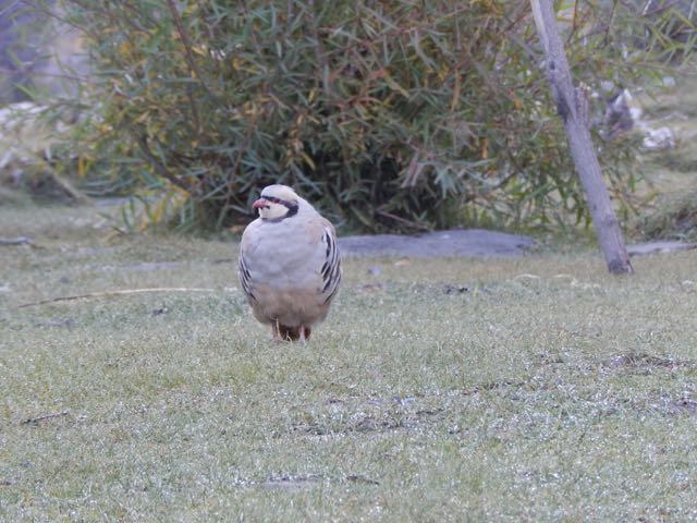
These curious (and common) ground birds dropped by. Are they Chukar partridge?
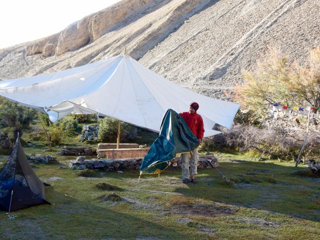
Sergei packs up his small cycling tent.
We were surprised when a Tibetan woman appeared asking for 150 rupees each. It had seemed the campsite (dirty and without a toilet) was closed for the season. Apparently not.
Official campsites seem to cost 600 Indian rupees in 2015. Unofficial ones 150 Indian rupee. Both overpriced compared with homestays, we felt. (900 rupees including 3 meals)
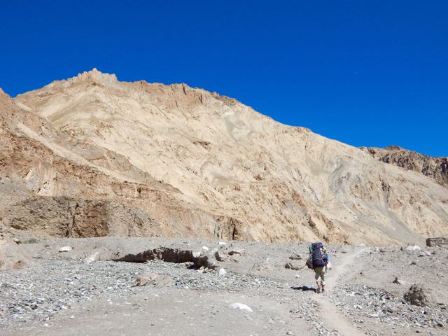
UP and off.


I tried to keep up with Sergei. It wasn’t easy. Especially since I had been exhausted the day before keeping pace.

On the other hand, we were fairly compatible. Both keen and very independent hikers.
I found the dry Markha valley gorgeous. Sergei missed trees.

River crossings were actually a relief. Heat emergency is a real risk here.

I changed footwear. Sergei plunged through.
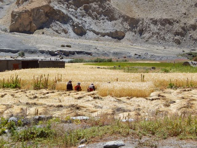
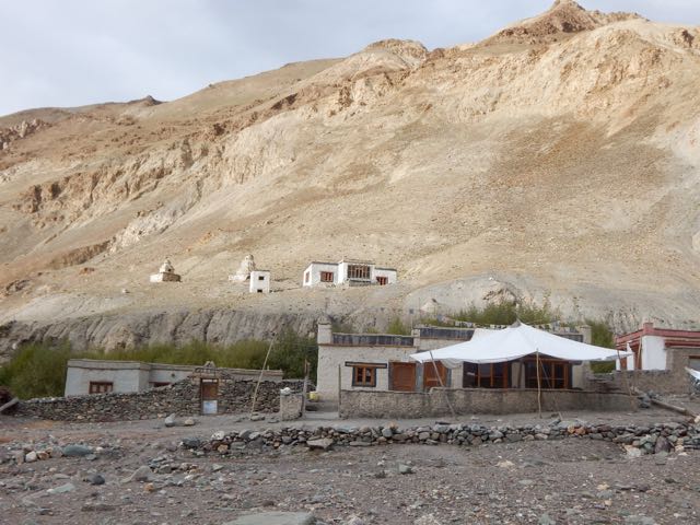
We’d anticipated Markha village 3806m to be somehow more impressive than the other villages. But it was very quiet. Harvest was in progress. Everyone in the fields.


So we continued.


Horses are the most popular pack animal here. Followed by donkeys.

I didn’t once see a Yak or Yak hybrid used.
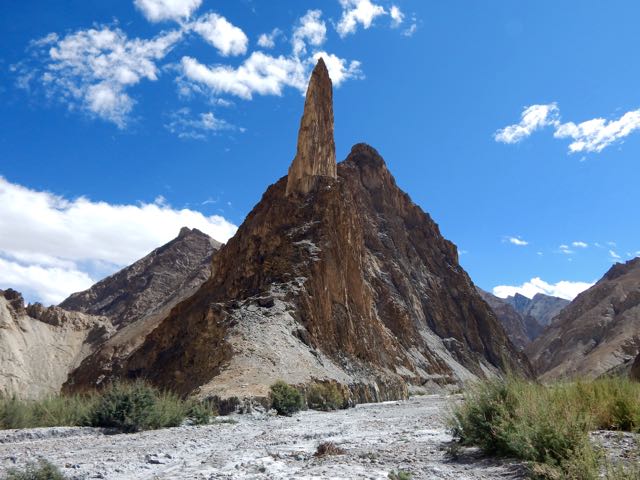
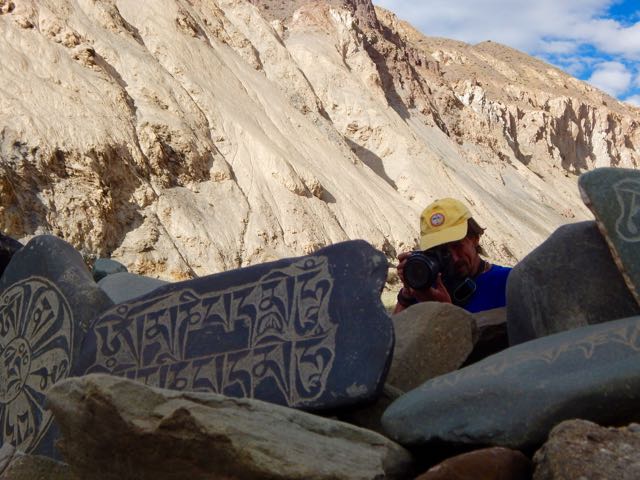
The geology here is stunning.

Sergei is an alpinist, having summited Lenin Peak. He was interested in these formations.


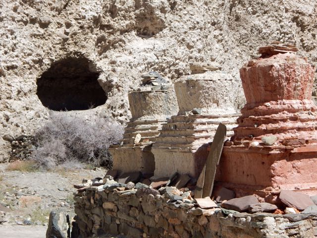
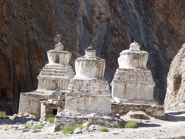
Though there are many impressive stupas and monasteries, it seems Ladakh does not have many monks.

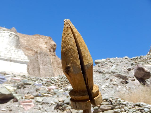
This particular monastery does impress, however. Umlung Gompa 3890m, impossibly situated.

The parachute camp was closed. So we carried on.

Seabuckthorn berries are everywhere. Used for jam and other local products.

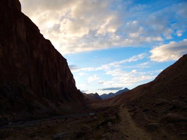
Higher and drier.


We considered stopping near Hankar 3990m. But Sergei likes to walk until dusk. So he can set up his tent in the dark (for free) and not be hassled by passing locals. Everyone who walks past asks for 150 ruppee, even a monk … though the monk actually seemed to have “receipts” in his robes for the camping fee.
Exhausted and with sore feet, I finally put down my tent in the official camping at Thachungtse 4250m.
Sergei, lacking firewood to cook his dinner, decided to stay as well and use my gas stove.
See all my high resolution photos from this day on flickr.
day 0 | day 1 | day 2 | day 3 | day 4 | day 5 | day 6 | day 7 | info page
 #1)
#1)