Eric from Scenic Travel Canada linked to a superb video of our #1 hike in the world.
Click PLAY or watch it on YouTube.
Great edit. Those lads are from my home town Calgary, I believe.
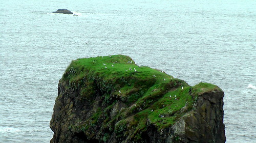
… To hike the West Coast Trail may be one of the most challenging outdoor wilderness experiences in your life. It’s tough yet scenic, beautiful yet wild. If you want to see how mentally & physically tough you are, consider challenging yourself on this 75 kilometer backpacking hike. …
Don’t miss the bottom of this post → Recommendations from Those who’ve Completed the WCT → Scenic Travel Canada
Friends who hiked the WCT this past summer didn’t have a drop of rain. Nice.