BestHike editor Rick McCharles
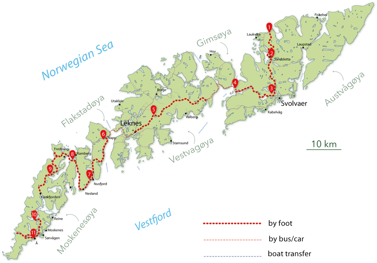
Inspired by Cam Honan’s 2018 adventure, I set out for the Long Crossing – a 160 km (99 mi) hiking route through the spectacular heart of the island chain.
It’s not all that popular yet. In fact, AllTrails doesn’t have it. And it has every trail everywhere.
After one day — 9 hours in perfect weather — I’ve decided to QUIT. That day was too difficult and too dangerous for me carrying a heavy pack.
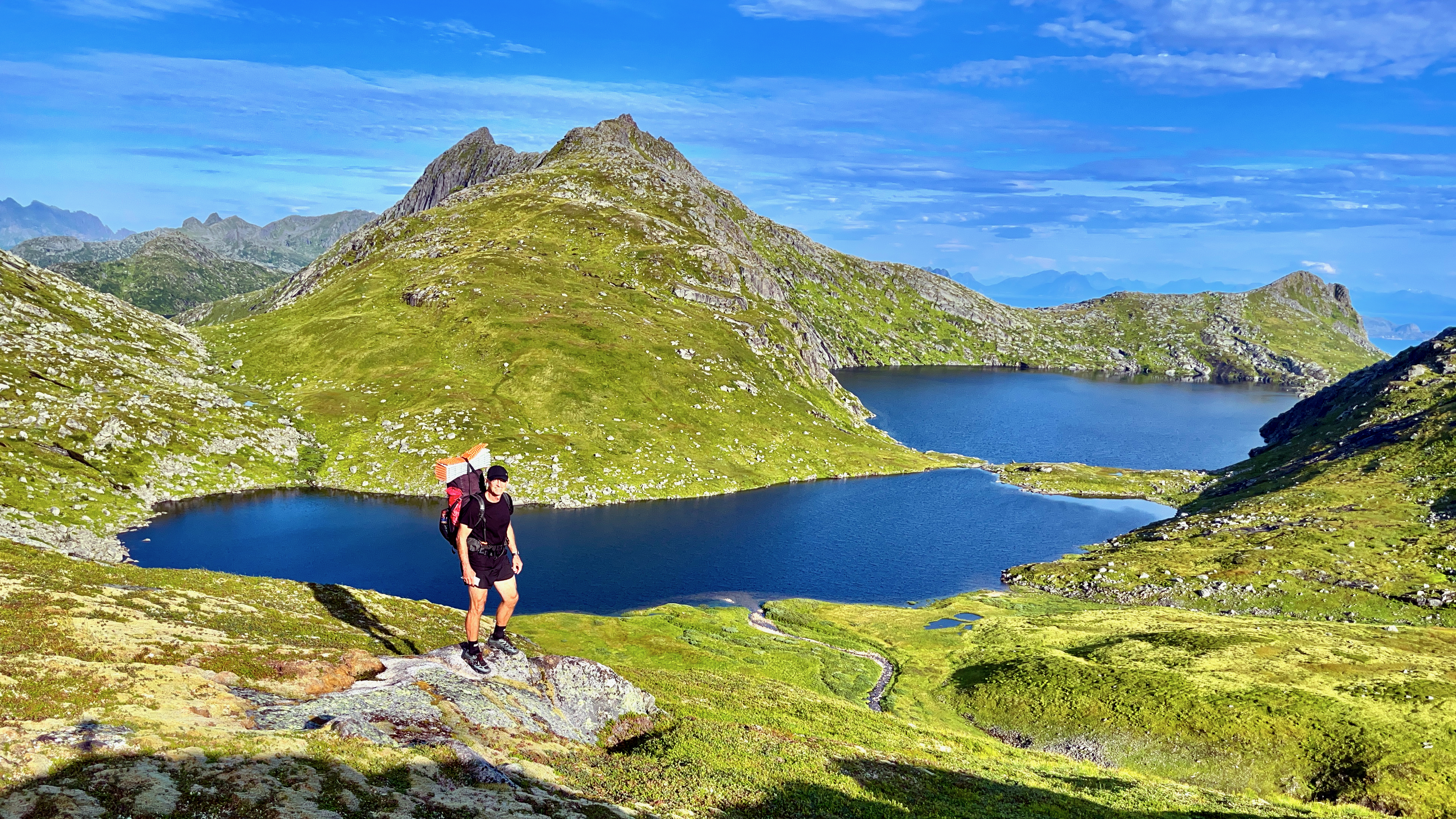
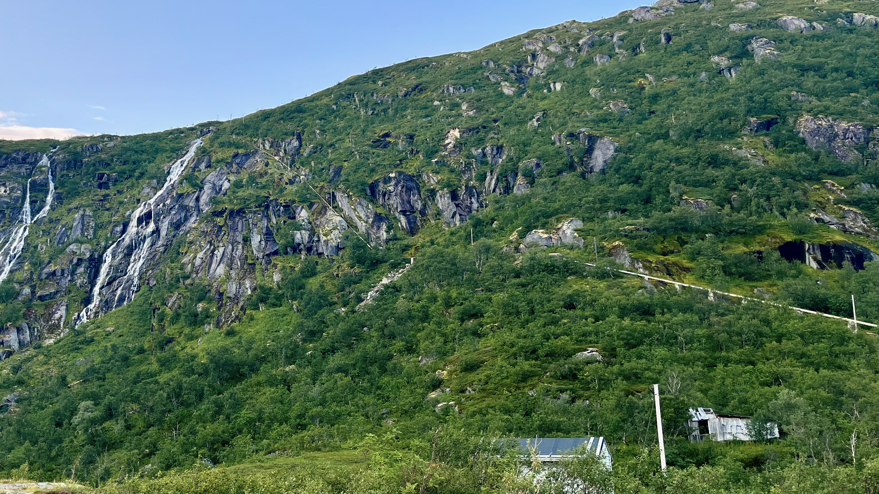
It LOOKS easy in the photo. But it’s mostly route finding through marshy terrain. Worst was a risky descent clutching a water pipe and safety ropes. Starting up near the top of the waterfall.
This was the Kleppstad to Svolvær leg.
I’d already visited Lofoten on another trip, doing most of the popular day hikes.
I’ll follow the general path of the Long Crossing. But camp low. And climb high with a day pack. Weather will dictate which established day hikes I choose.
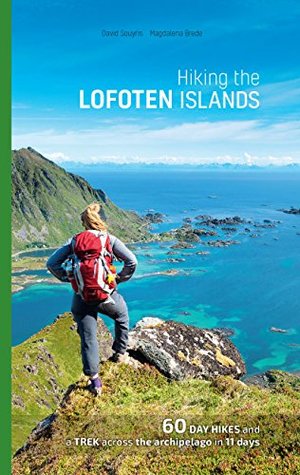
I’ll be following recommendations set out in the Rando-Lofoten guidebook by Souyris & Brede:
Hiking the Lofoten islands
Wish me luck. Things tend to #fail in Arctic Norway — usually due to weather.