In 2016 Sir Chris Bonington updated his 1989 biography.
He added accounts of his later expeditions to Greenland, India, Morocco and his re-ascent of the Old Man of Hoy in 2014, with new climbing companion Leo Houlding. The Old Man climb was filmed by BBC. Chris was not at all sure he could still do it.
Bonington was one of the few high altitude mountaineers to survive the kind of climbs he did. AND he’s an excellent writer.
He’s known a lot of tragedy including the drowning death of a young son.
Though known as one of the great expedition leaders he had many die under that leadership.
Of the famed high altitude climbers I’ve always related most to Bonington. He seemed to be the smart, articulate and careful one.
Not so, I learned. There were a dozen times Chris could have / should have died like so many of the others.
Though reviews have been mixed, I did enjoy this book. Especially the audio version reader James Adams.
… courage, achievement, and heartbreaking loss tells of Bonington’s Boys, a band of climbers who reinvented mountaineering during the three decades after Everest’s first ascent. …
Next I’ll be reading Bonington’s biography – Ascent(2017)
Paine in Chile is one of the best hiking destinations in the world. No question.
But foreigners are endlessly frustrated trying to organize their trip from abroad. Many — including myself — show up on a hope and a prayer trying to make it happen onsite.
It’s billed as the most southerly established hike in the world.
HOWEVER the Lago Windhond hike also out of Puerto Williams goes further south. But it’s far less popular.
From Here to Nowhere:
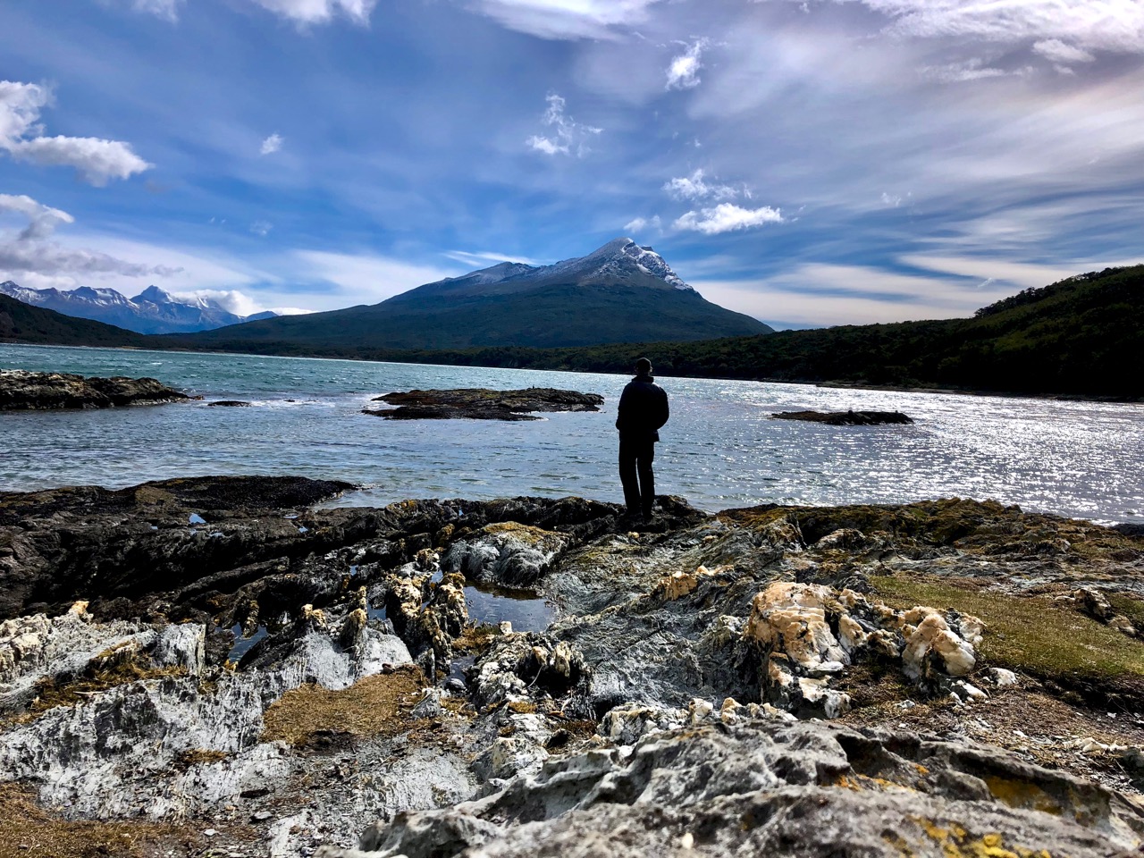
… Now, after failing to reach the Windhond trail from the Dientes Circuit a few days before due to dangerous snow conditions, my plan was to reach the lake via the Rio Ukika valley and, if time permitted, walk around the eastern edge of the lake to truly reach the southern end of Isla Navarino. Beyond that point Cape Horn is the only land before Antarctica. …
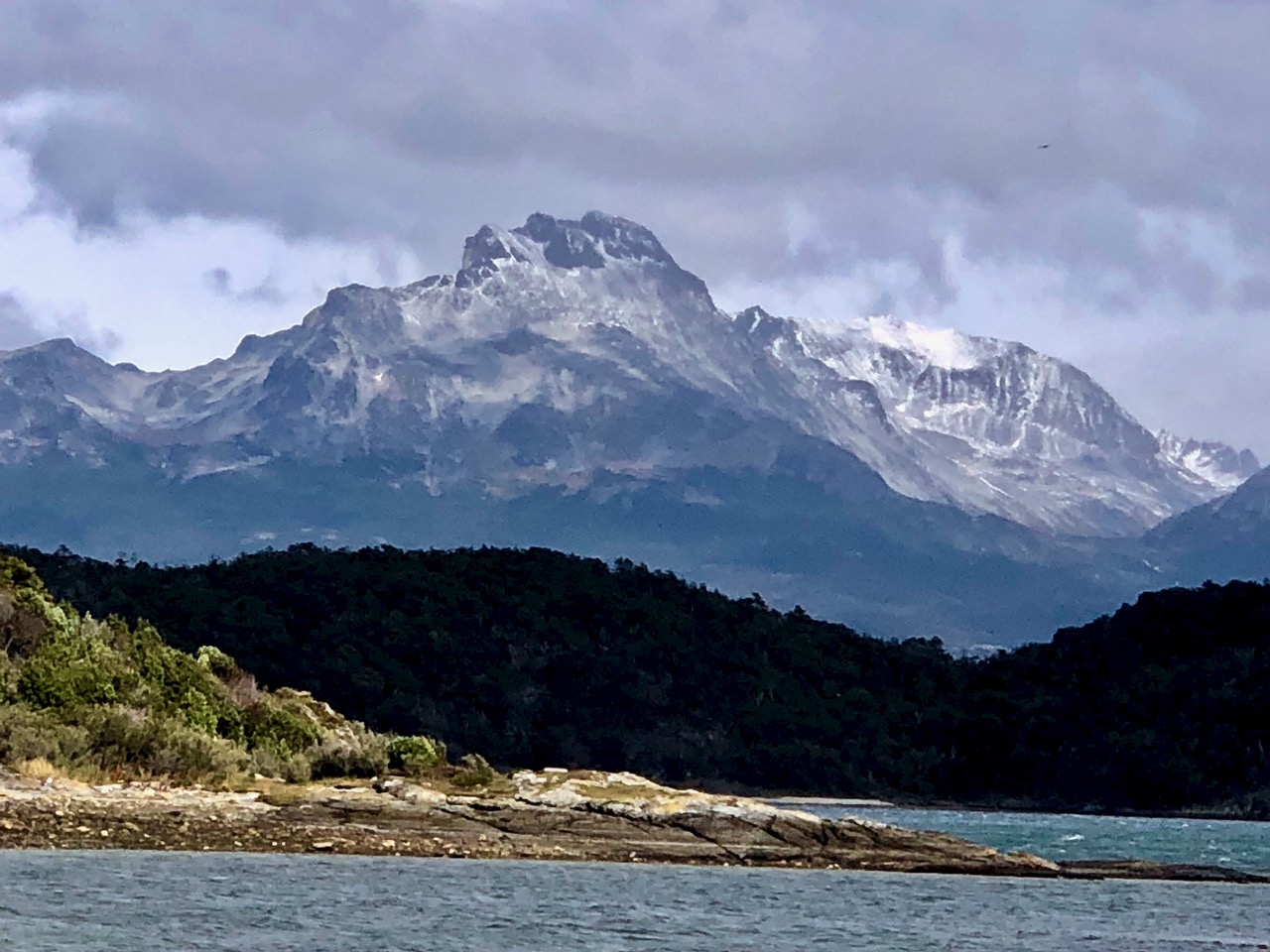
For the first half of the day the Windhond trail follows the Ukika valley, gradually climbing to its head, passing several pretty lakes which are the source of the Rio Ukika, and offering magnificent views of the backs of the mountains I walked along only a few days before on the Dientes Circuit.
Ahead, the Dientes de Navarino slowly come into view – and to be honest, the views of the mountains were better than those from the Dientes Circuit. …
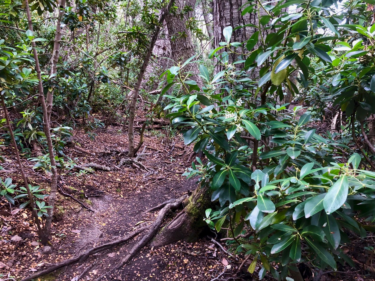
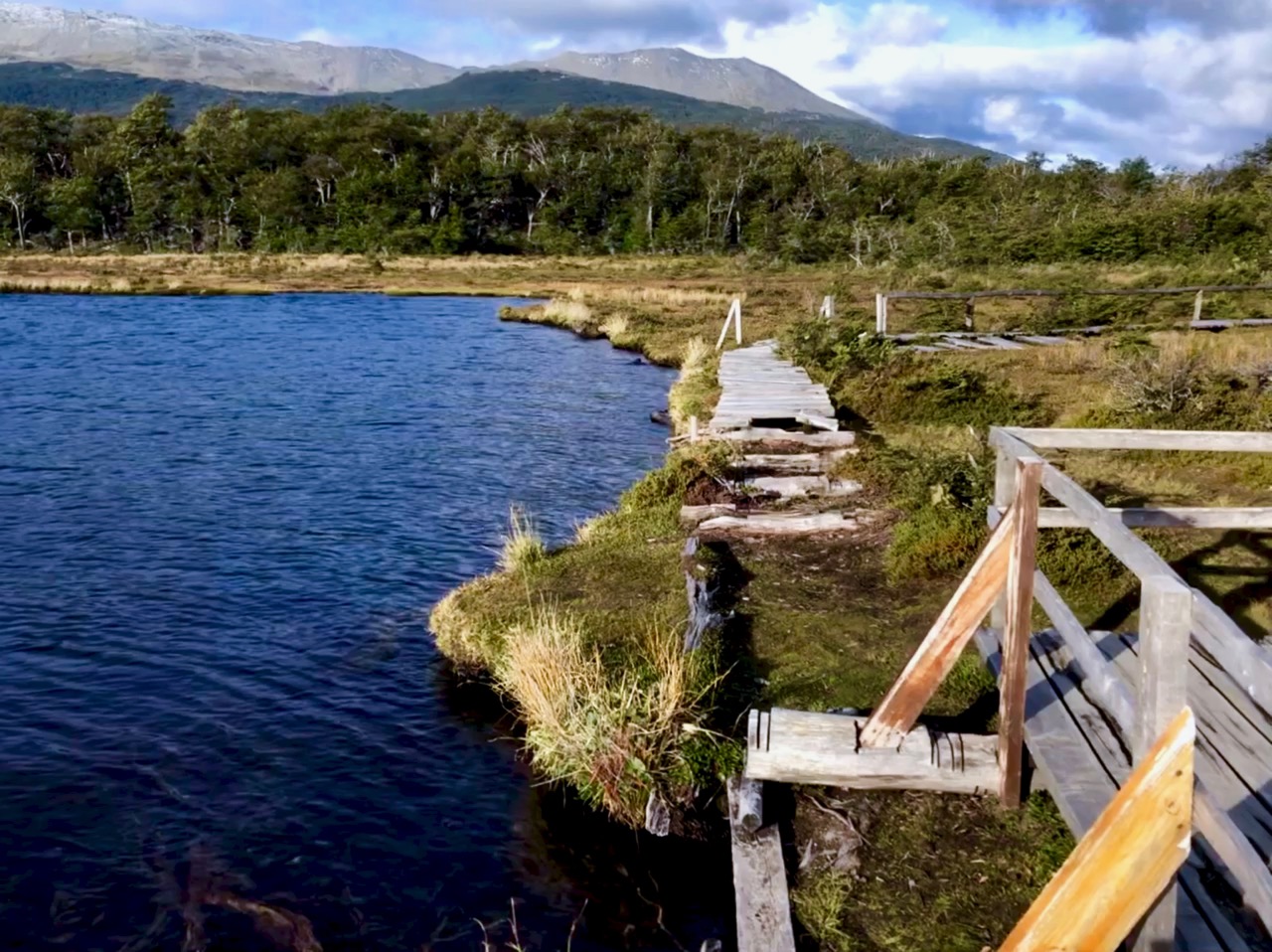
Compared to the Dientes Circuit there was very little elevation change involved, and after my experience on that circuit I decided not to be too fussy about following the path exactly when the markers disappeared because of beaver damage. …
Celebrating girls and women in the outdoors on #InternationalWomansDay.
Alma Wagen was the first female guide to work in Mount Rainier National Park. The bulk of her work as a guide consisted of leading tourists on hikes to nearby glaciers, but she occasionally assisted in leading parties to the mountain’s summit, which she was said to have done “like a master”. …
#InternationalWomansDay#RainierWomen In 1918, Alma Wagen became the first female mtn guide in N. America on Mount Rainier. She once stated "I…found my life’s work right in the National Parks. There were places to climb and I wanted to teach other women the joy of climbing.”-pw pic.twitter.com/aFqUfLXcH1
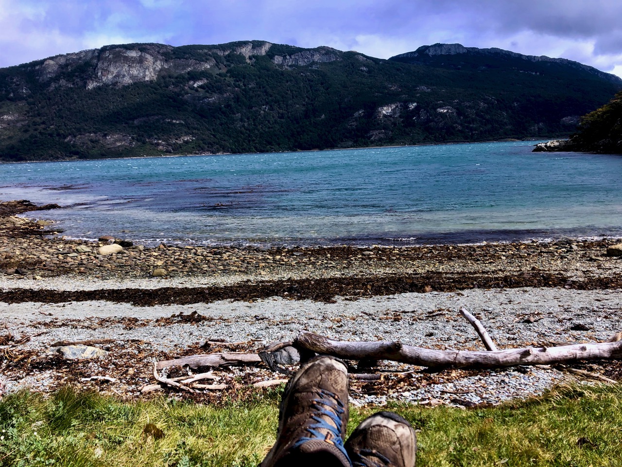
Unlike most parks in Argentina, there is an entrance fee for Tierra del Fuego National Park. It was 480 pesos ($12.50) in 2019. But the ticket is good for 1 or 2 days. And camping is free in the park so two days is the better value.
There’s no inexpensive way to get from Ushuaia to the Park. Most — including me — book a door-to-door shuttle return for 700 pesos. ($18)
On arrival at the Park I asked which of the 4 campgrounds was best. One Ranger told me Laguna Verde, so I had the shuttle drop me there.
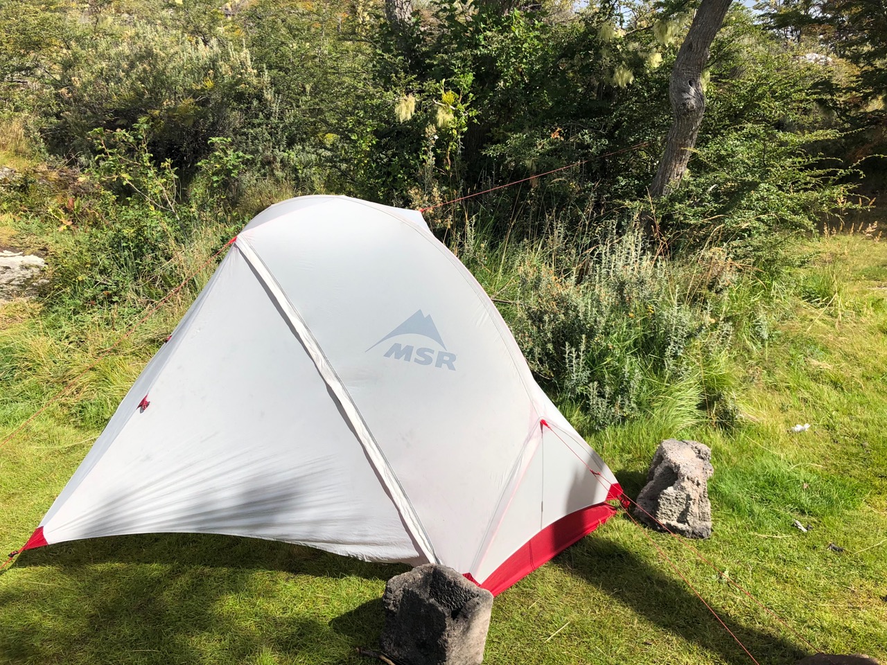
This is Patagonia so I bolted the tent down real good.
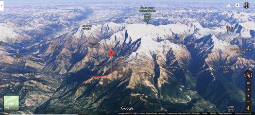
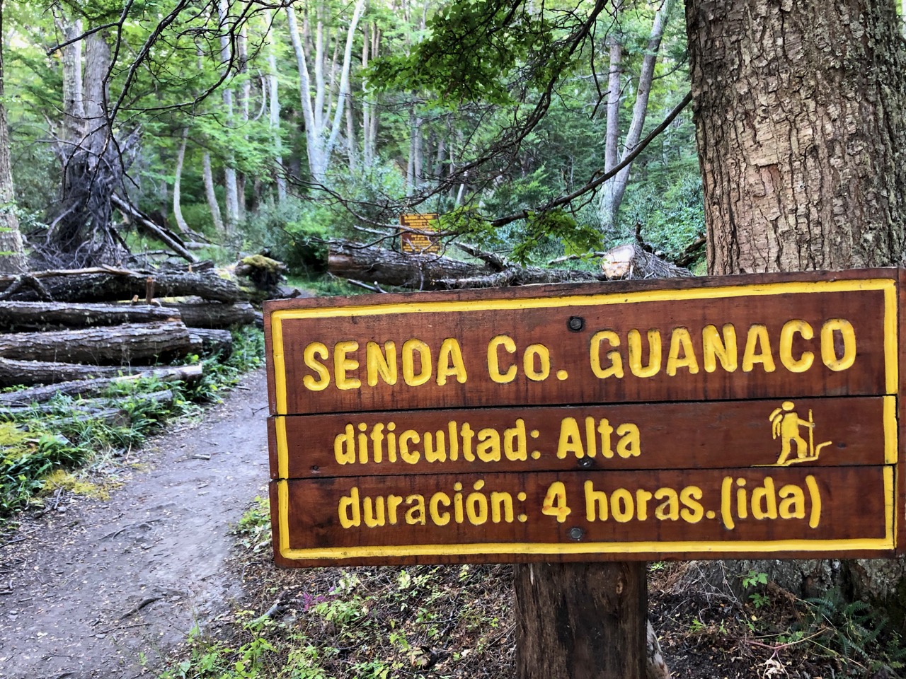
Day 2 I headed over to the nearby Alaskush Visitor Center to register (free) for the Cerro Guanaco trail. You are supposed to register before Noon to be allowed to make the climb.
Guanaco is often closed due to high winds, as well.
It’s 4km one way. An elevation gain of 973m.
To and from the Alaskush Visitor Center and back (to confirm you returned safely) it’s about 15km.
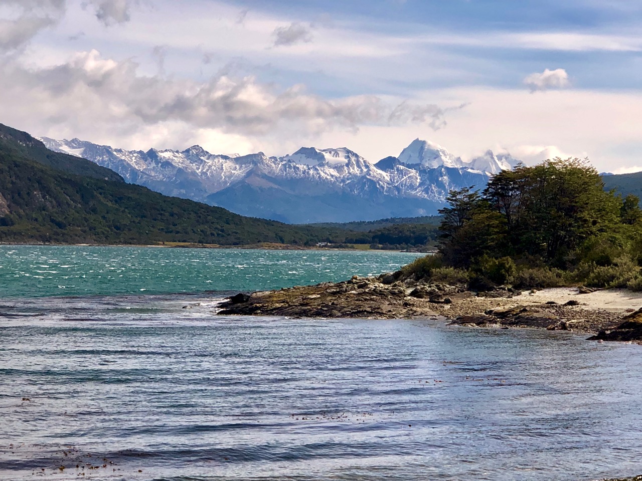
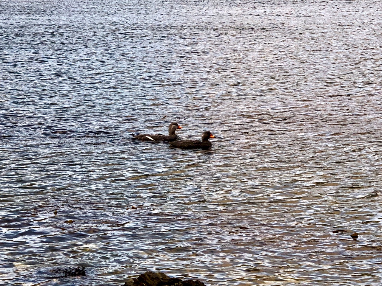
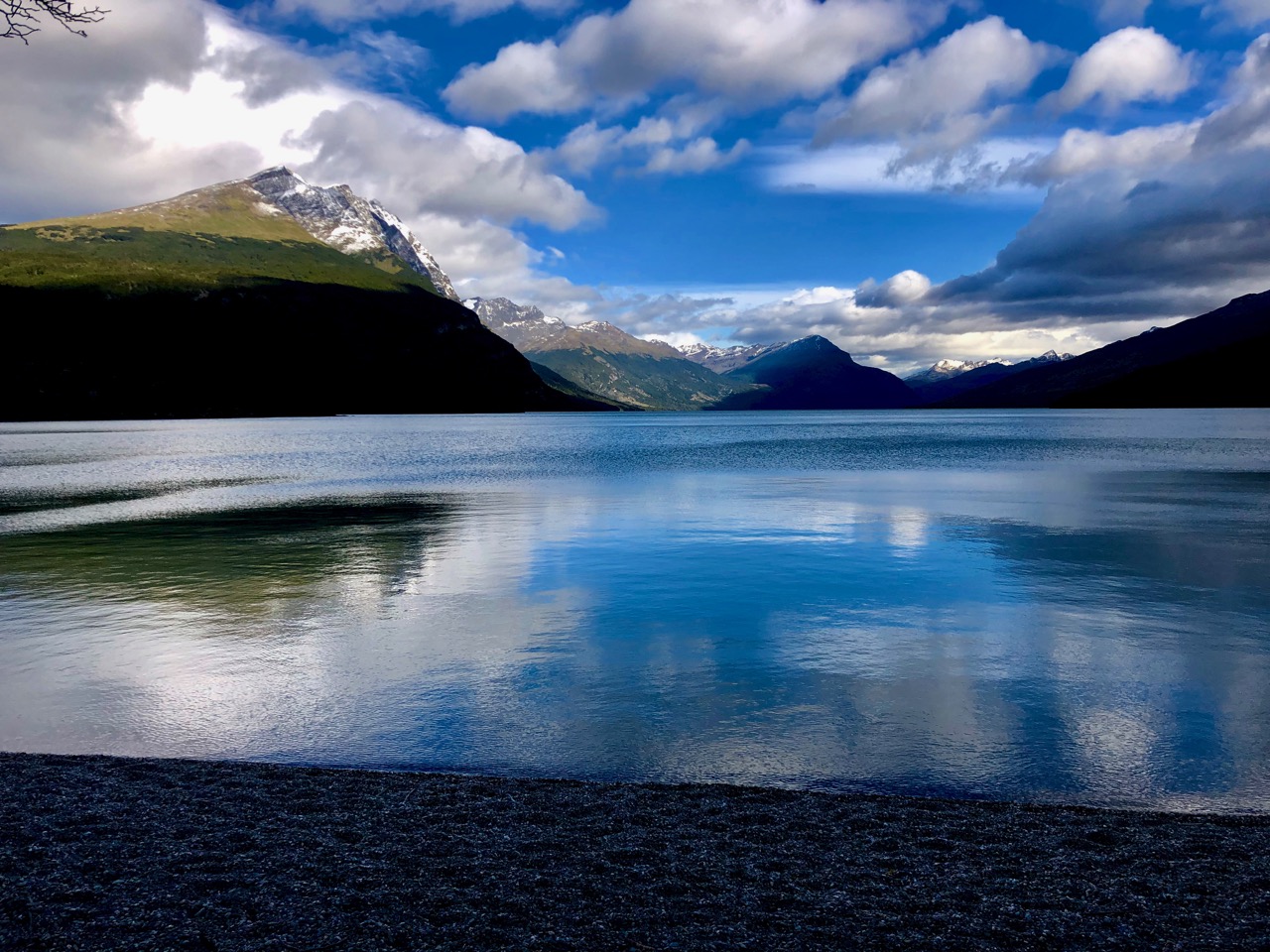
You start along lovely Lake Roca. Perfectly calm the day I was there.
Lago Roca
Signage says it will take you 4 hours to the top. Hiking steadily it’s more likely to be closer to 3 hours.
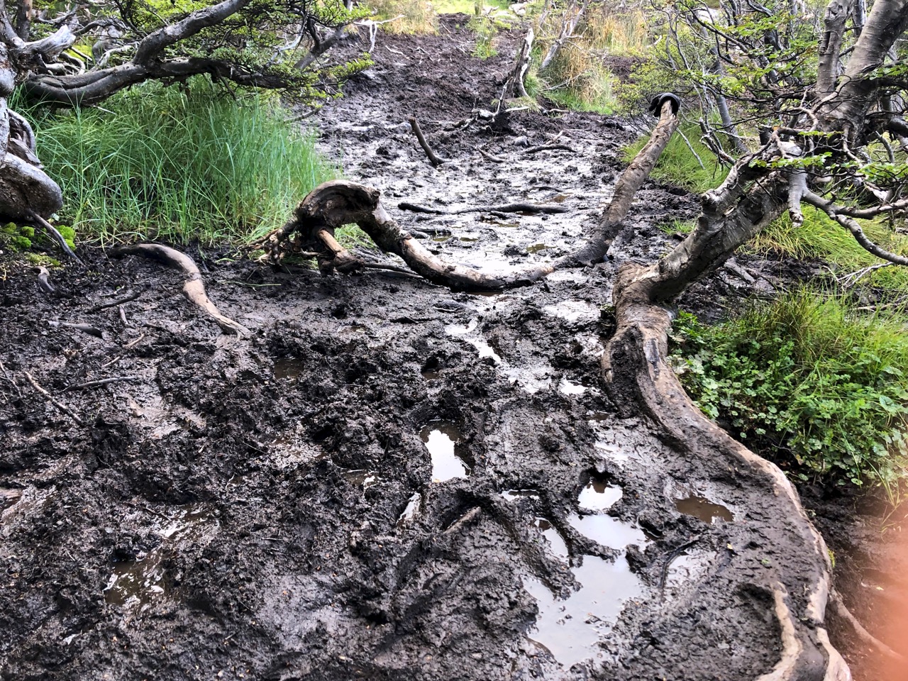
There is some significant MUD at one point.
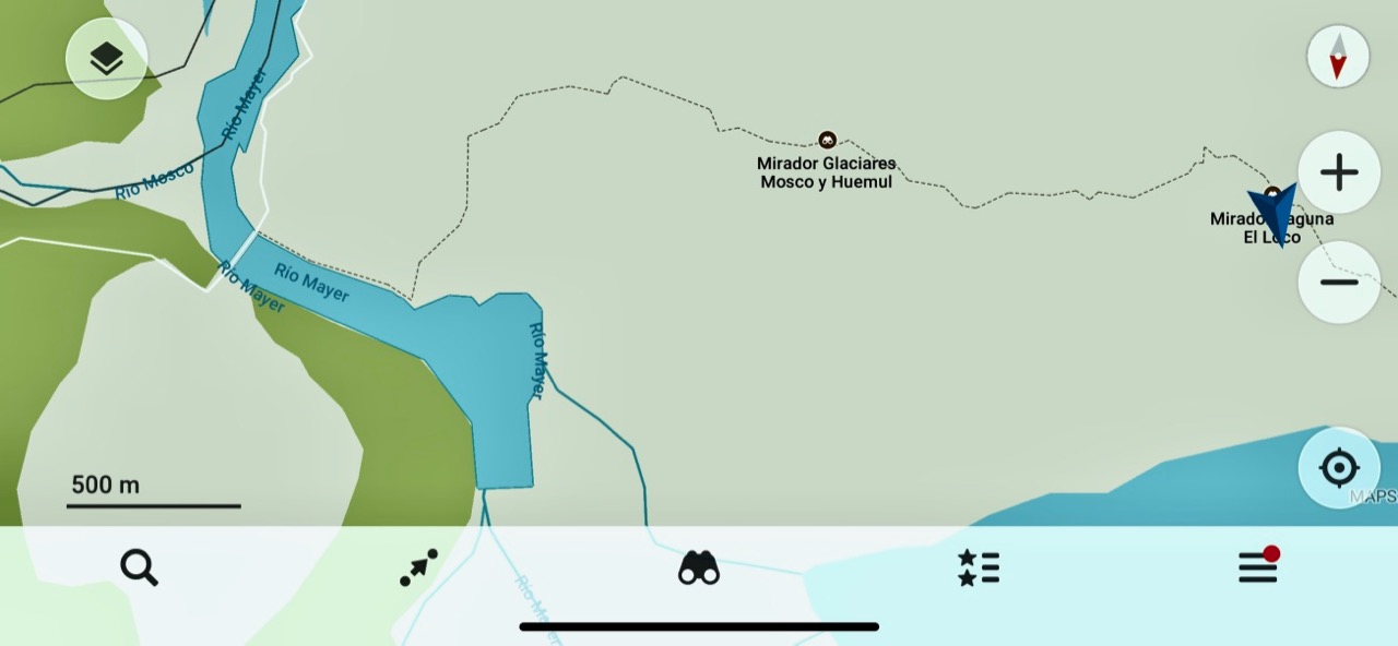
As usual in South America, I used Maps.me for navigation.
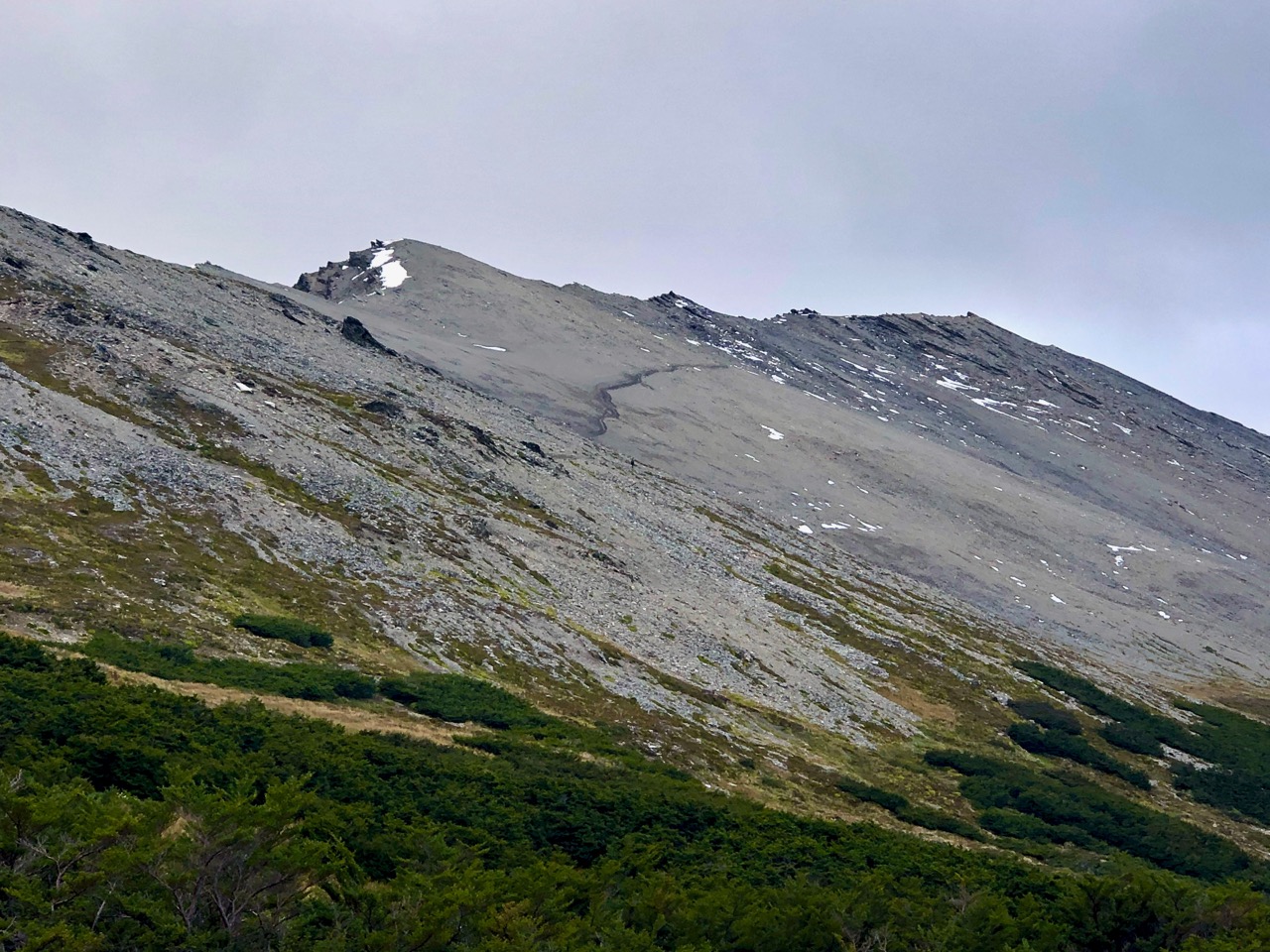
Most hikers stop at one of the designated viewpoints.
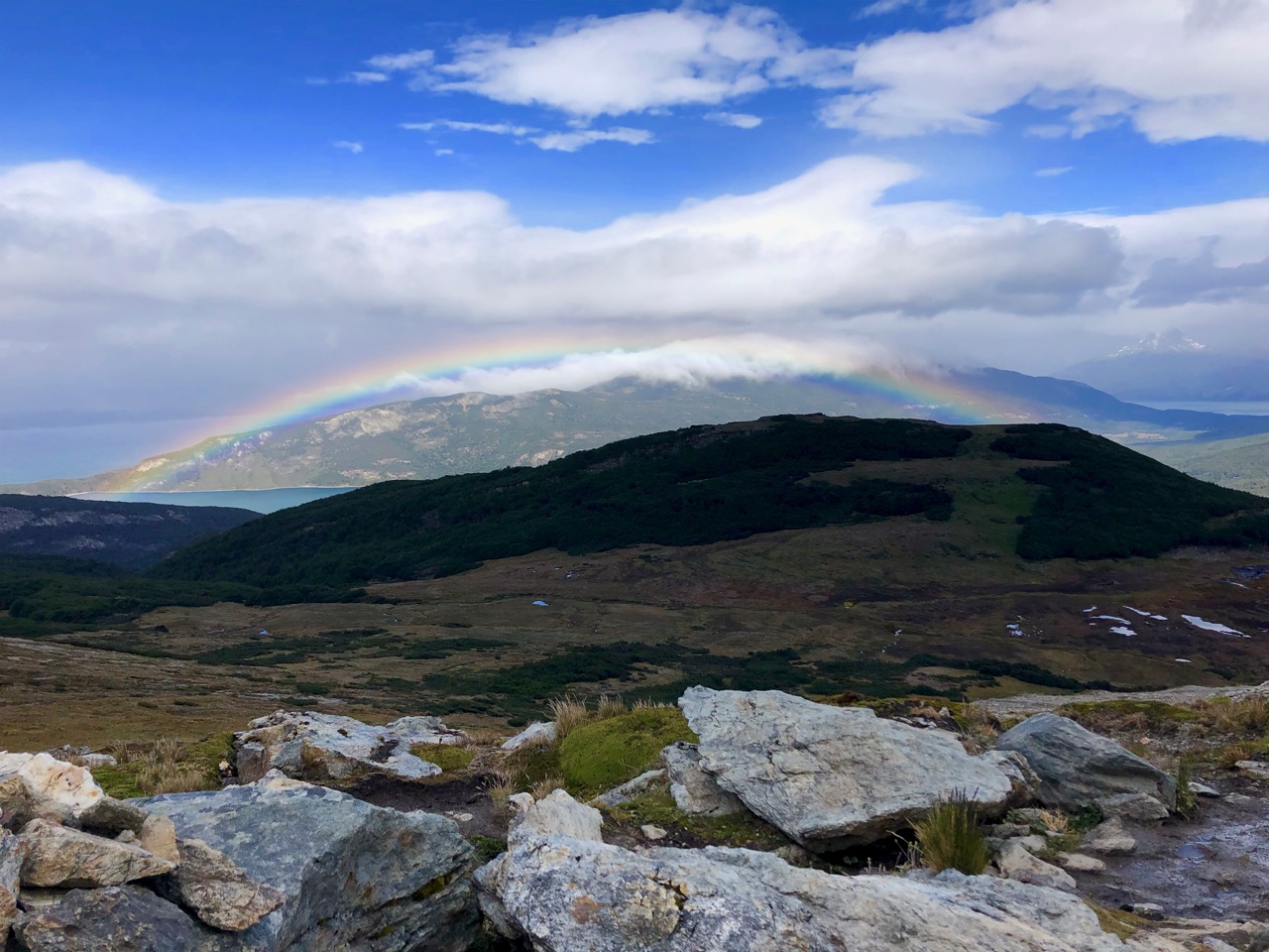
If you’ve got good weather it’s worth pushing up the scree to the top.
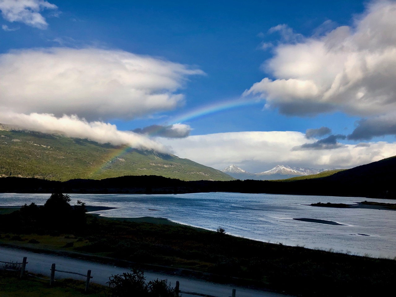
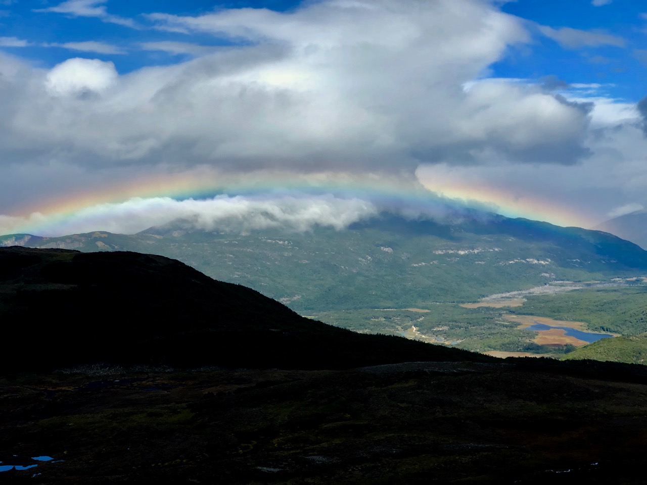
In Patagonia it’s very common to have persistent rainbows. It rains a lot.
Capturing them in a photo is not easy.
There’s Ushuaia in the distance.
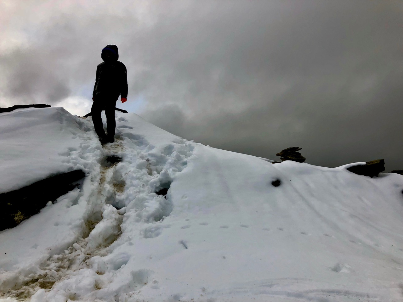
At the very top end of February I scrambled the snowy summit for a dramatic finish.
Great hike. If you get to this park be sure to schedule time for the Guanaco climb.