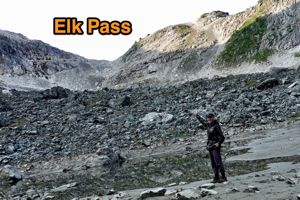
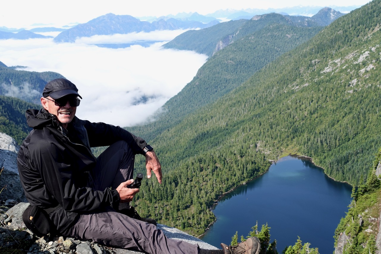
I too carried 8 days food with faint hope of continuing on the Traverse. But decided it was too difficult, remote and dangerous to do solo. What if I got hurt?
In fact, I fell badly twice on the Elk Pass trail: scratches and bruises.
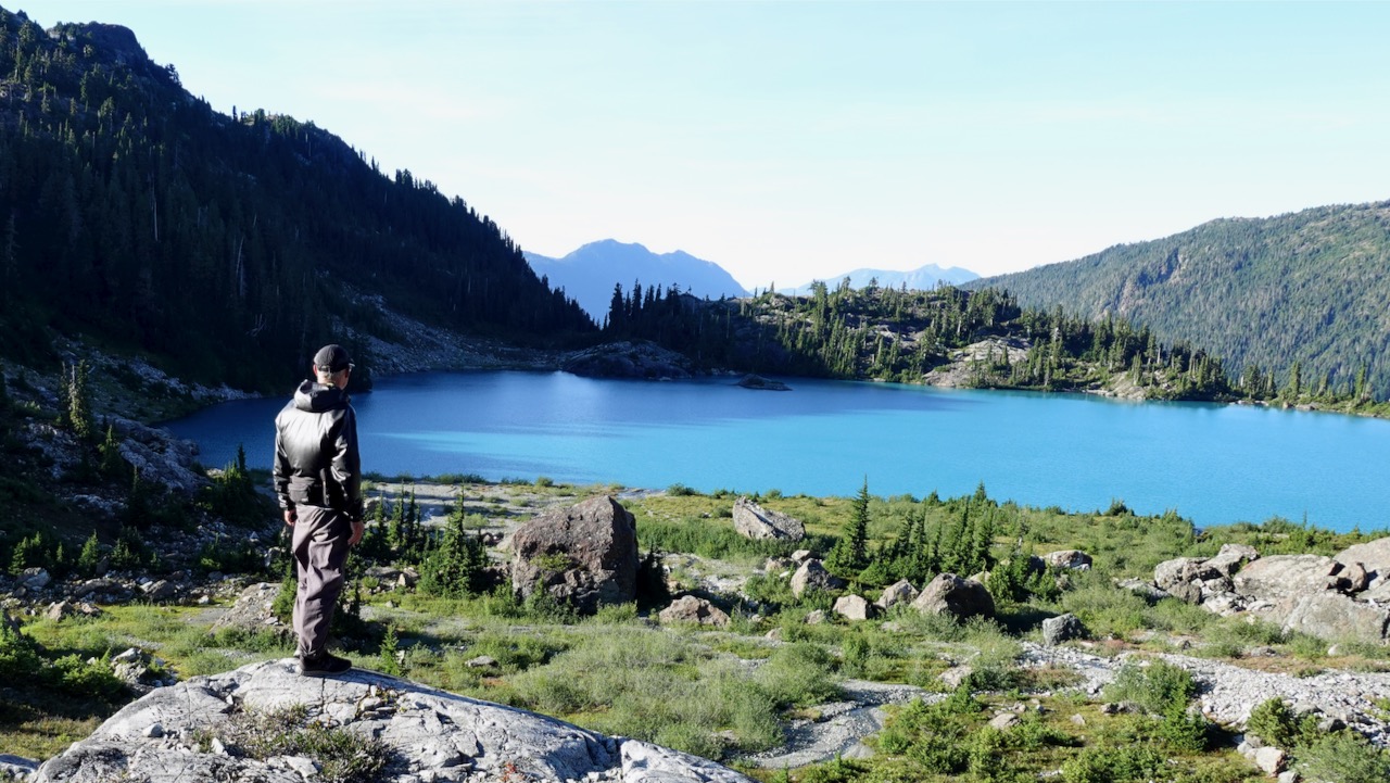
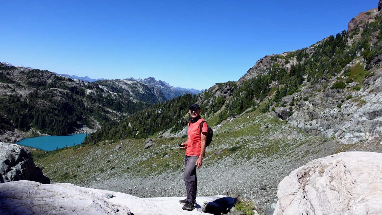
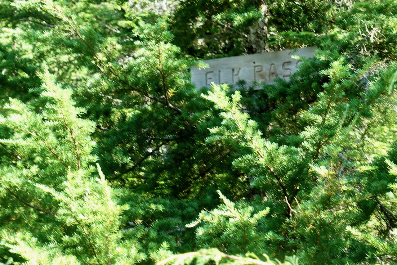
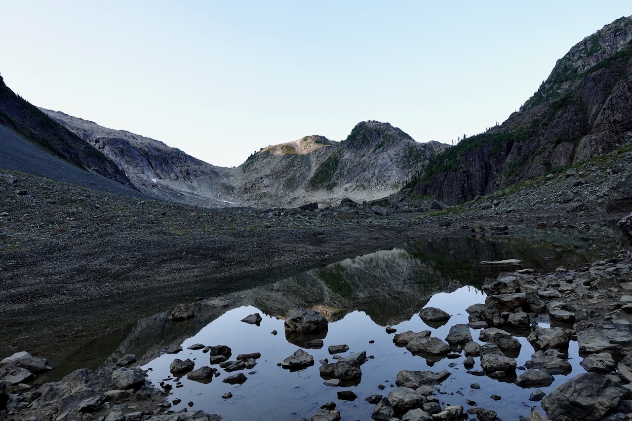
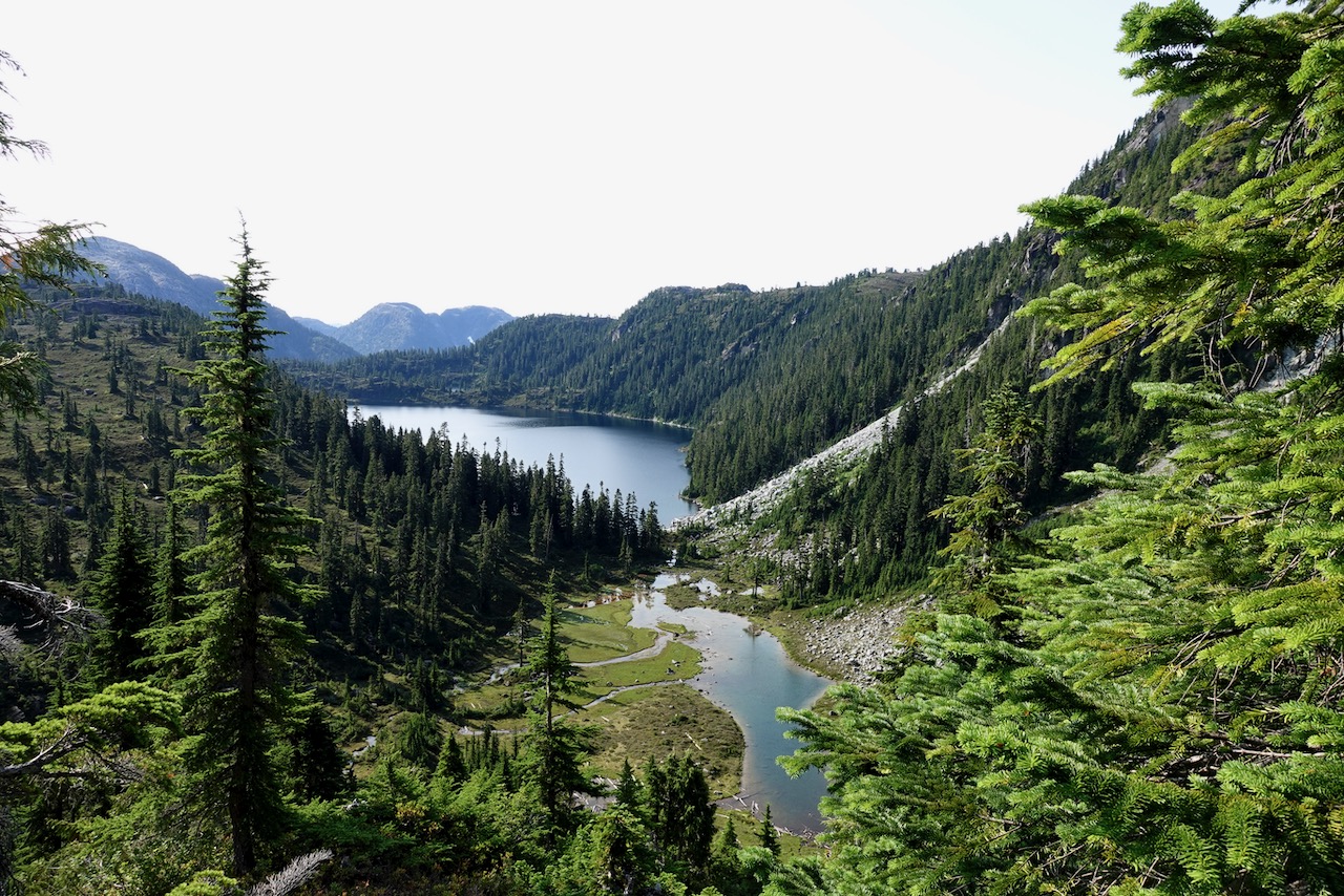
But I did continue part way over the Pass towards this large unnamed lake, a continuation of the Traverse.
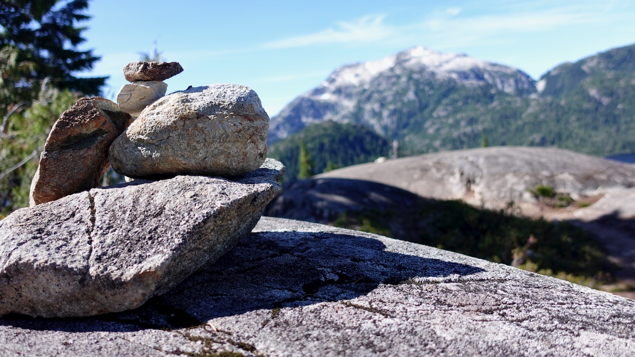
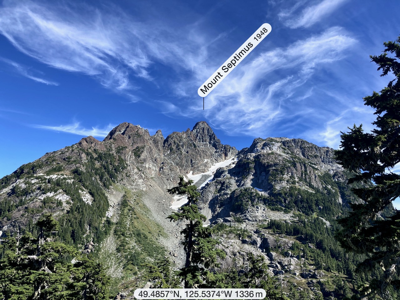
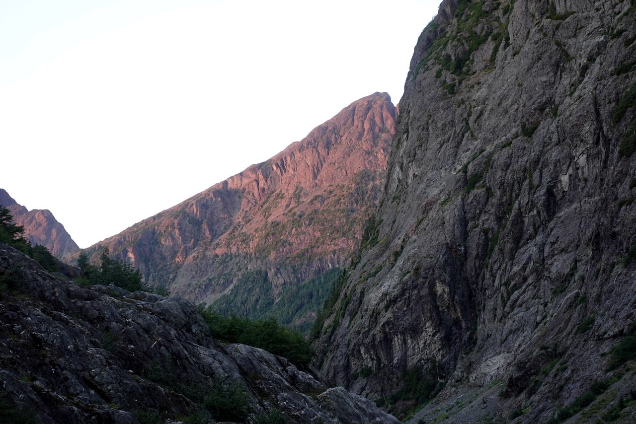
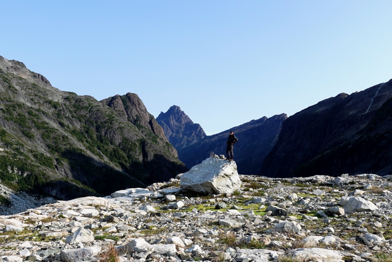
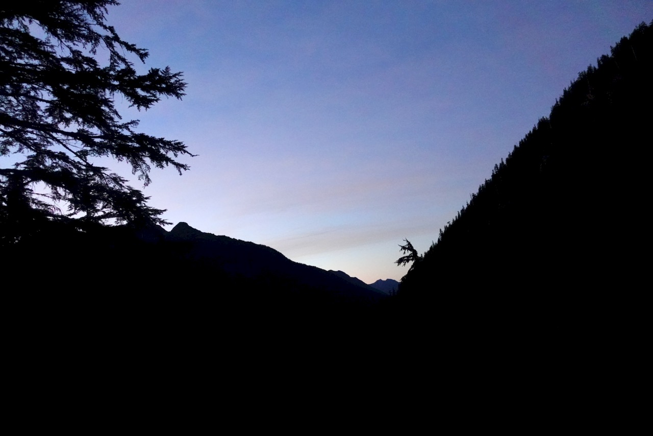
Backtracking, I decided to traverse/scramble up to the next pass to the S.W. of Elk. That turned out to be the highlight.
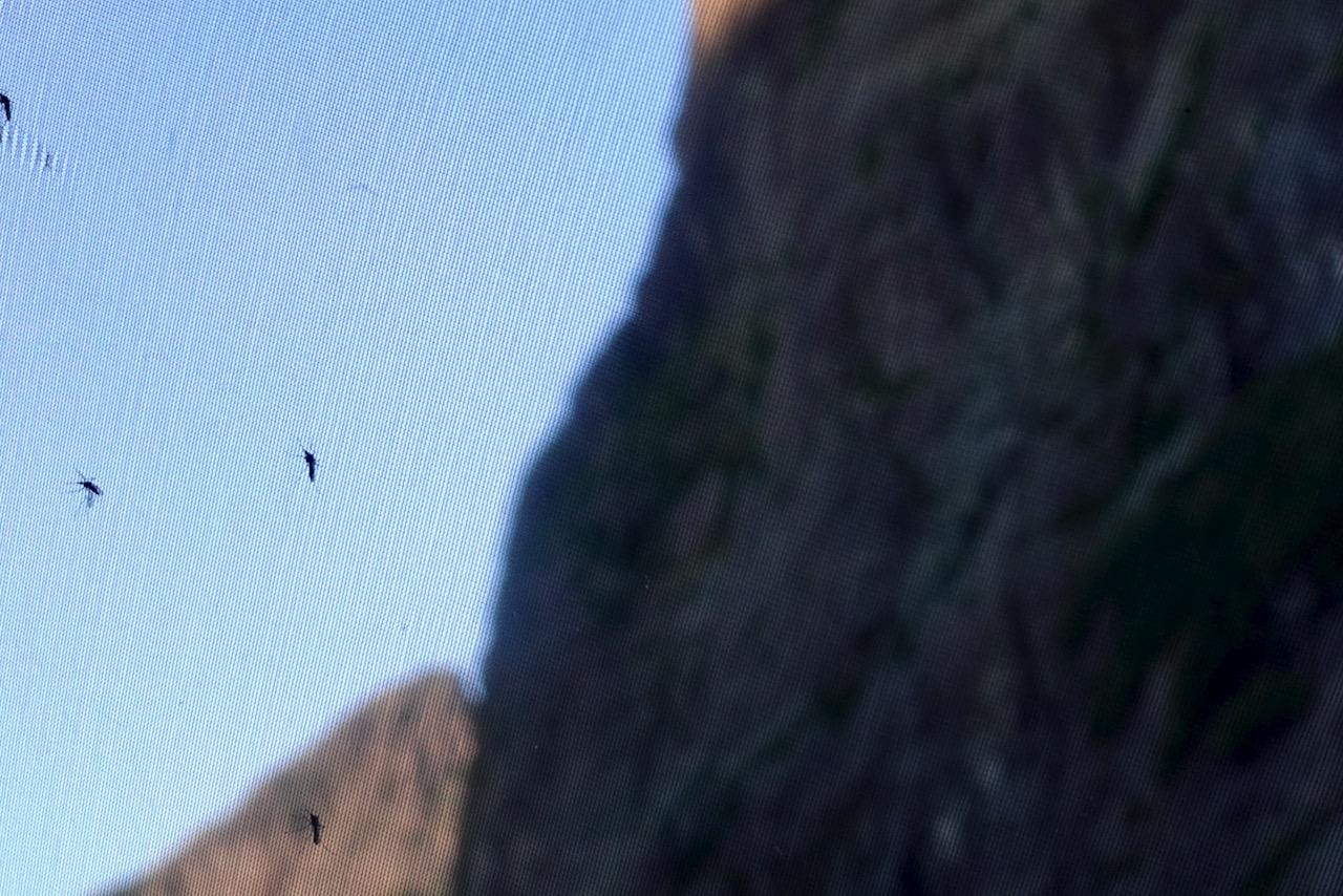
Big vistas over low clouds.
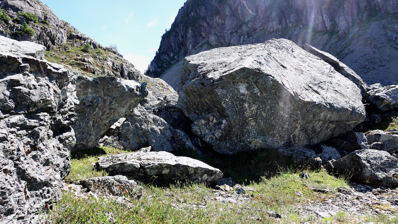
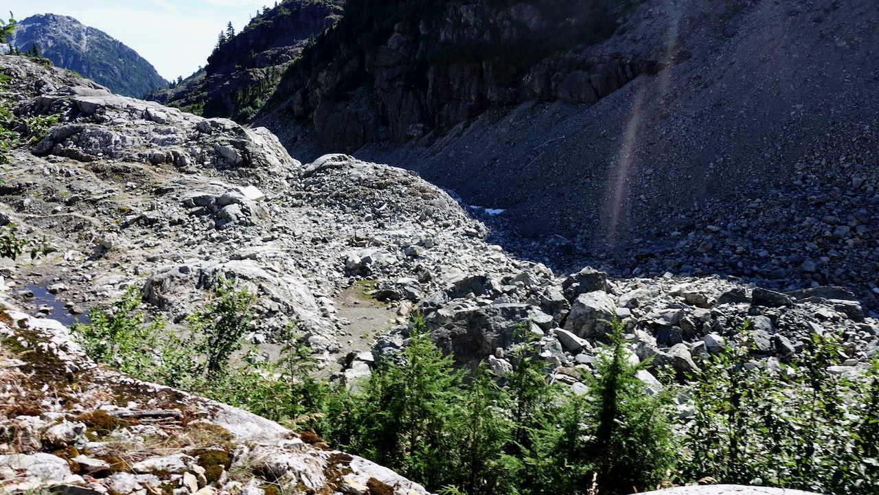
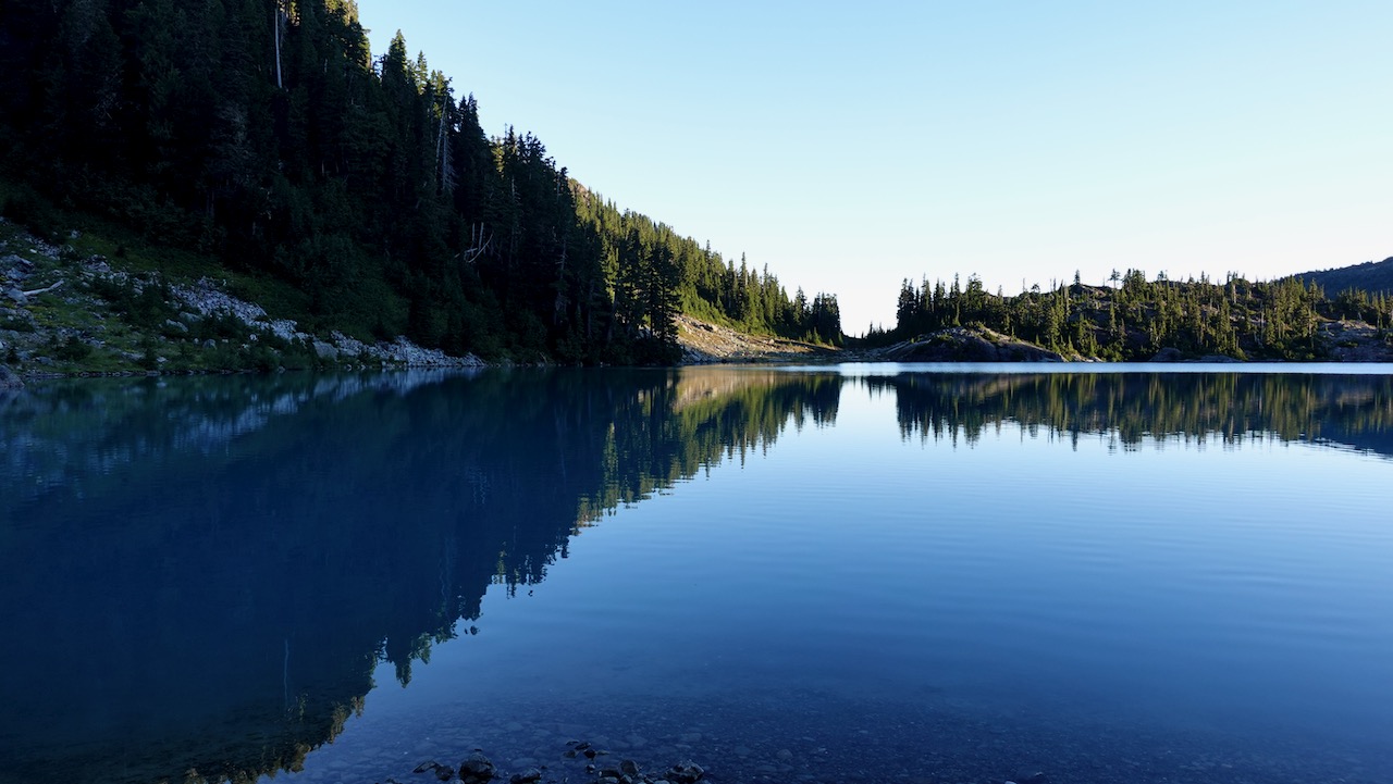
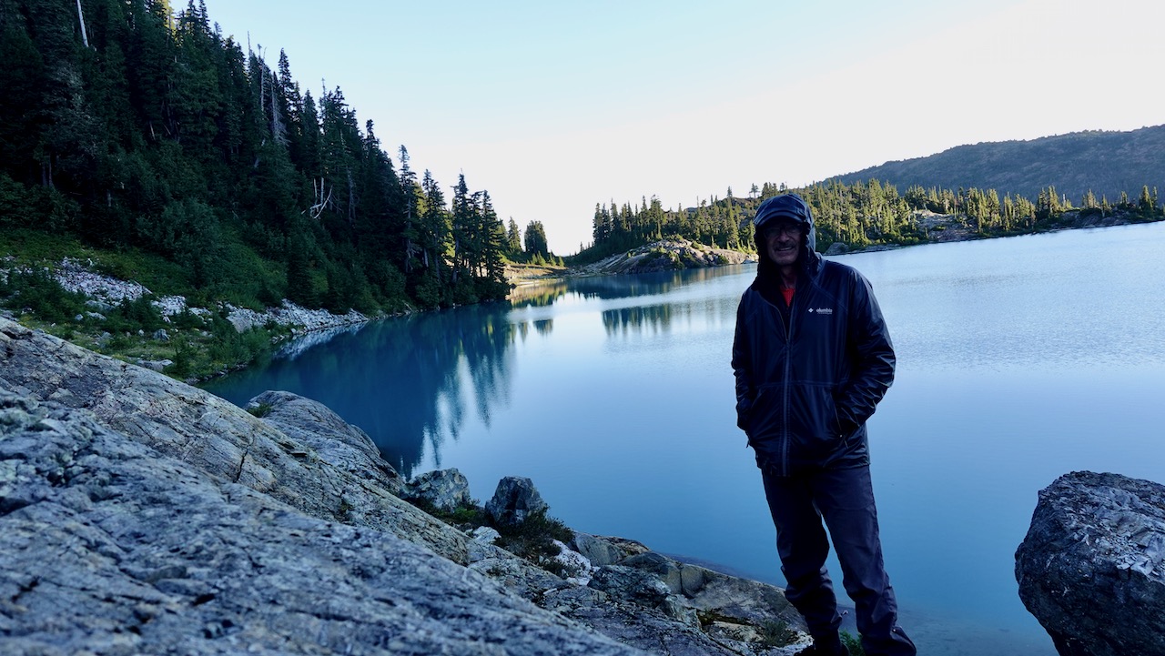
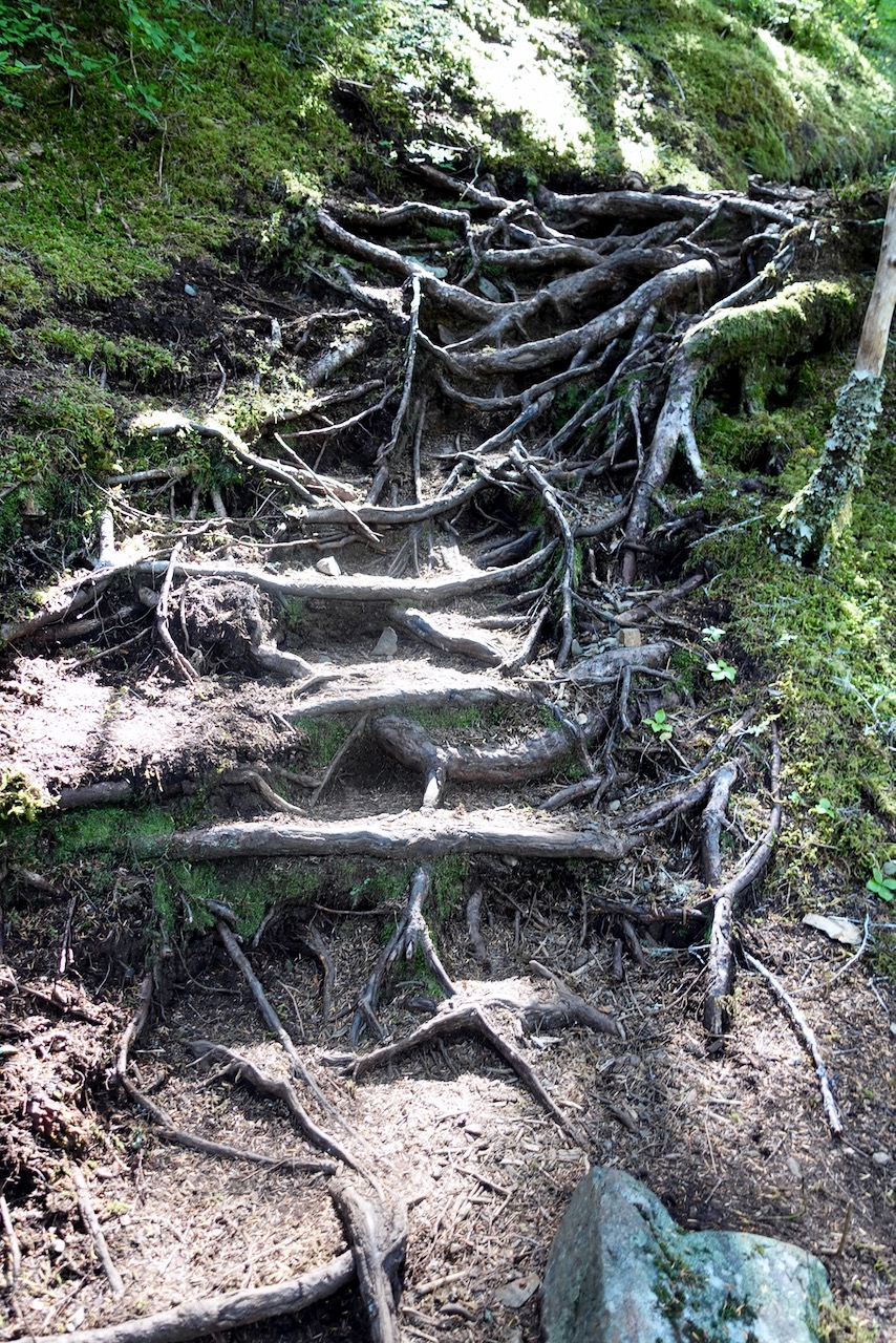
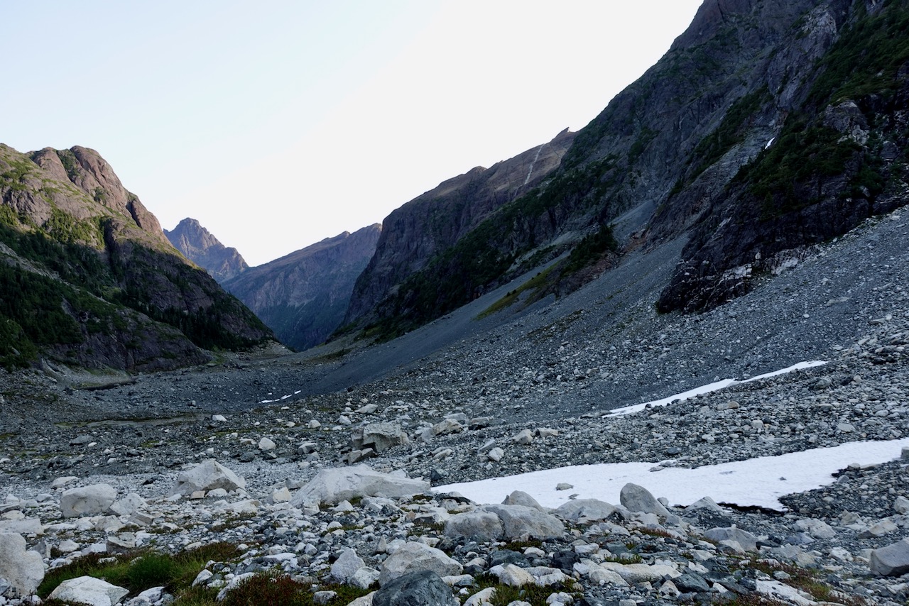
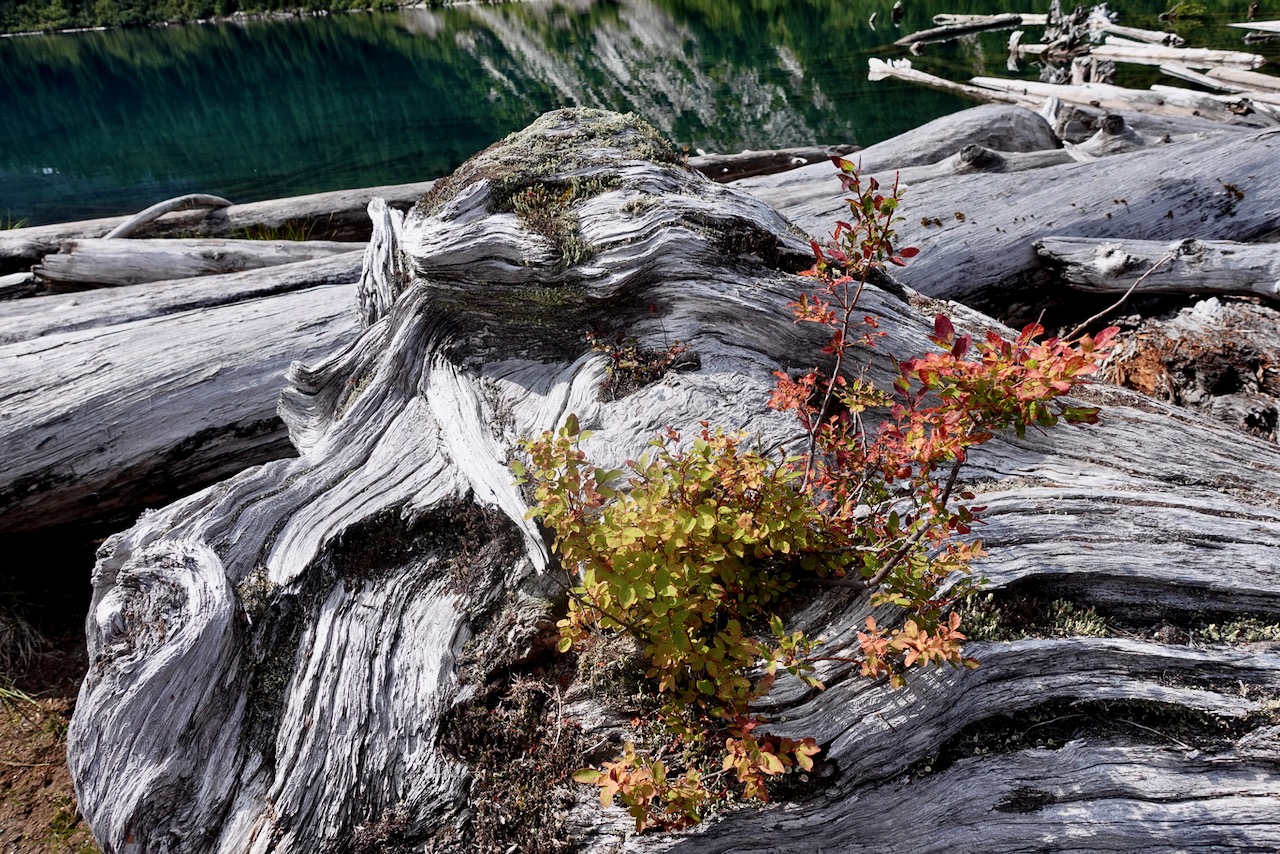
From there it was down, down, down. Back into the trees.
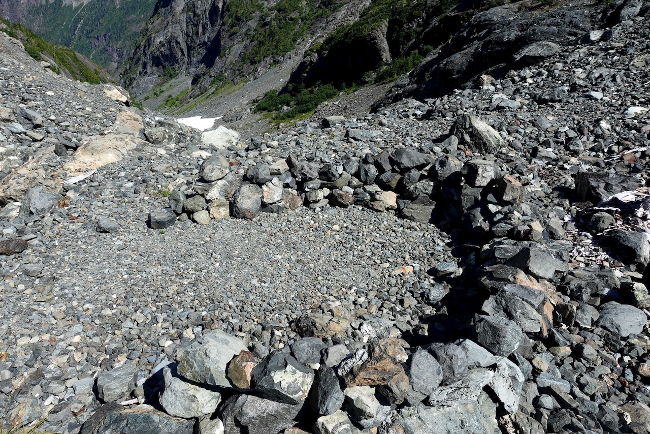
I found hiking down even more challenging than on the way up.
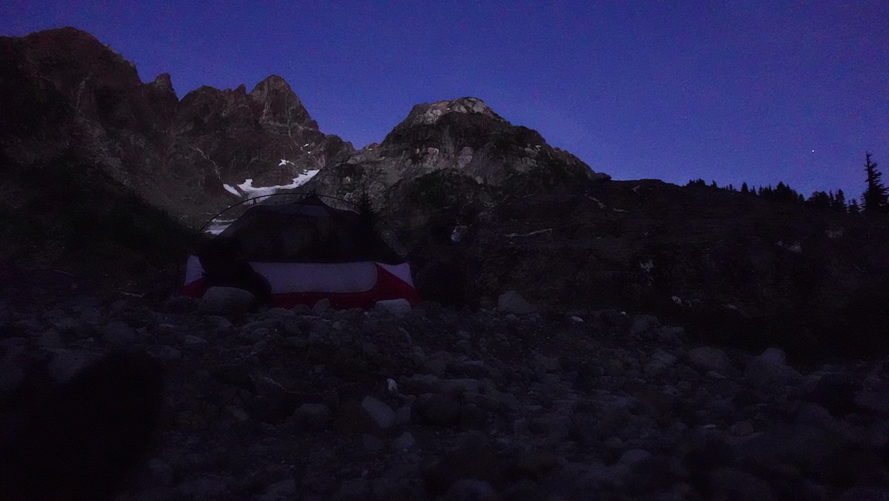
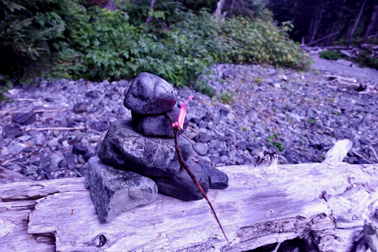
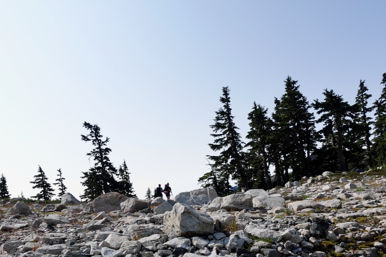
It was nearly 6pm by the time I reached“Hemlock”, the unofficial camp I’d missed the previous night.
It’s named for huge Hemlock trees.
About 8pm I began hearing bombs dropping.
Loud.
Turns out it was a squirrel cutting down pinecones. From on high.
Next morning I returned to the highway via the Elk River trail.
In Journeys North, legendary trail angel, thru hiker, and former PCTA board chair Scout spins compelling tales of hikers on the Pacific Crest Trail in 2007 as they walk from Mexico to Canada.
That year terrible snow storms rocked the Canadian border starting the last days in September.
Barney (Scout) Mann hiked with wife Sandy (Frodo) Mann, and recounts fascinating stories of others they traveled alongside that season.
For me, Blazer was the most interesting.
The book is unusual. Not your standard step-by-step trail journal.
Instead the time line jumps forward and back along the trail, using PCT anecdotes to illustrate bigger life lessons.
If asked to recommend just one book on the PCT, Journeys North would be it. The best starting point for a hiker considering it.
Barney Scout Mann has hiked the Appalachian, Pacific Crest, and Continental Divide Trails. He has been board chair of the Pacific Crest Trail Association and is president of the Partnership for the National Trails System. Mann has been recognized with a Lowell Thomas Journalism Award and is the coauthor of The Pacific Crest Trail: Exploring America’s Wilderness Trail and author of The Continental Divide Trail: Exploring America’s Ridgeline Trail. He and his wife, Sandy, live in San Diego and have hosted more than 7,000 PCT hikers. Visit him online at BarneyScoutMann.com.
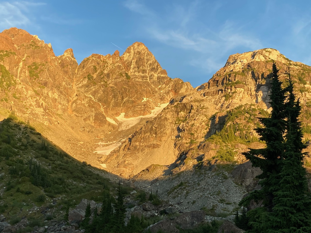
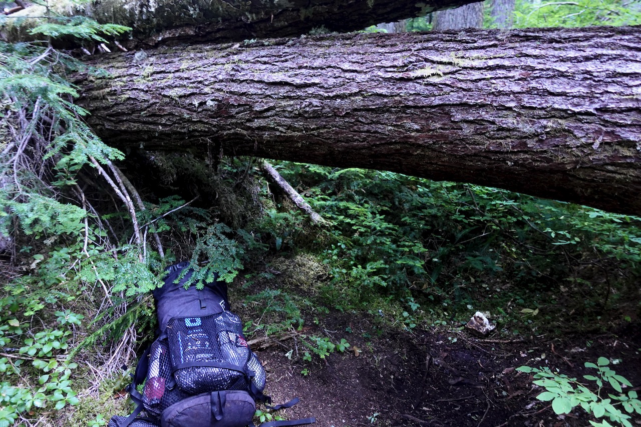
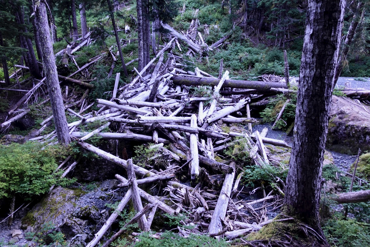
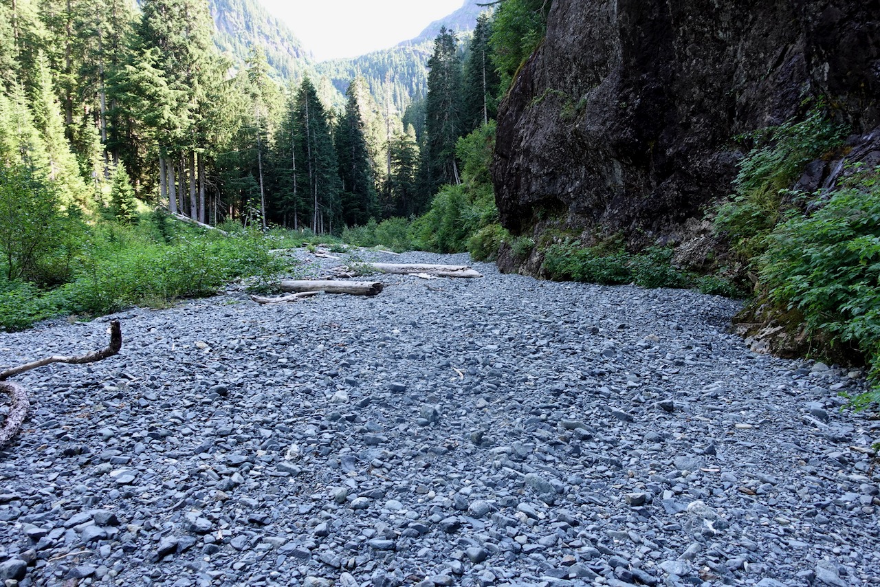
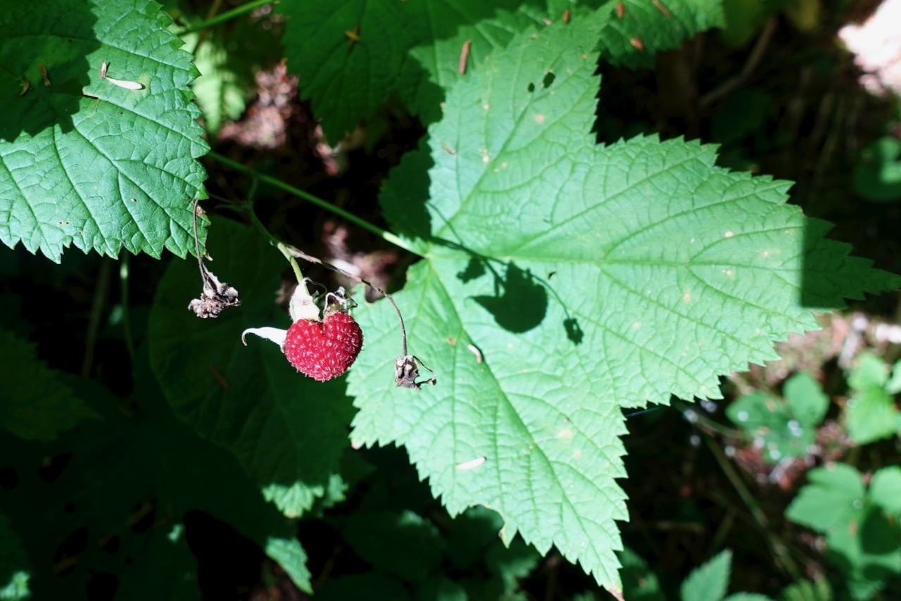
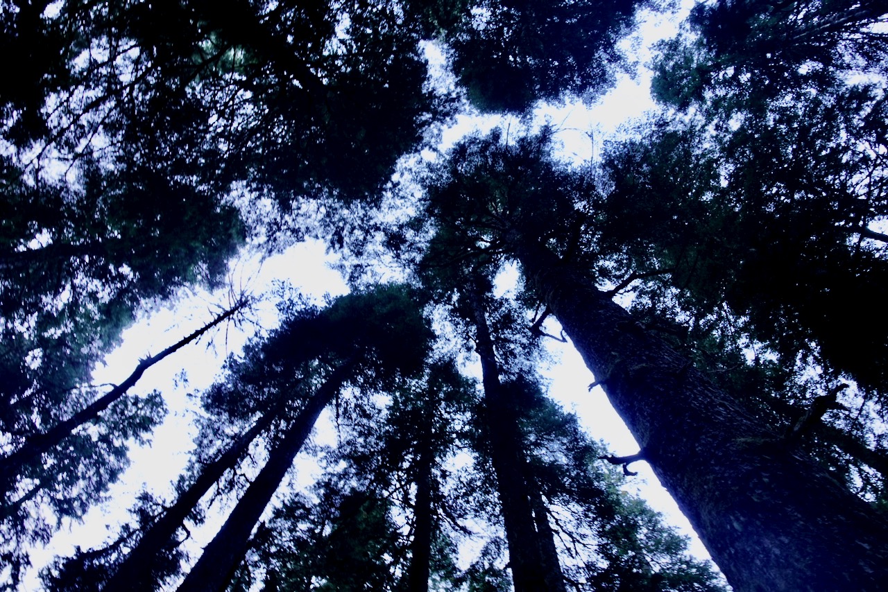
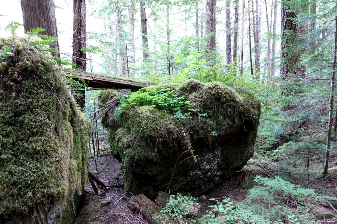
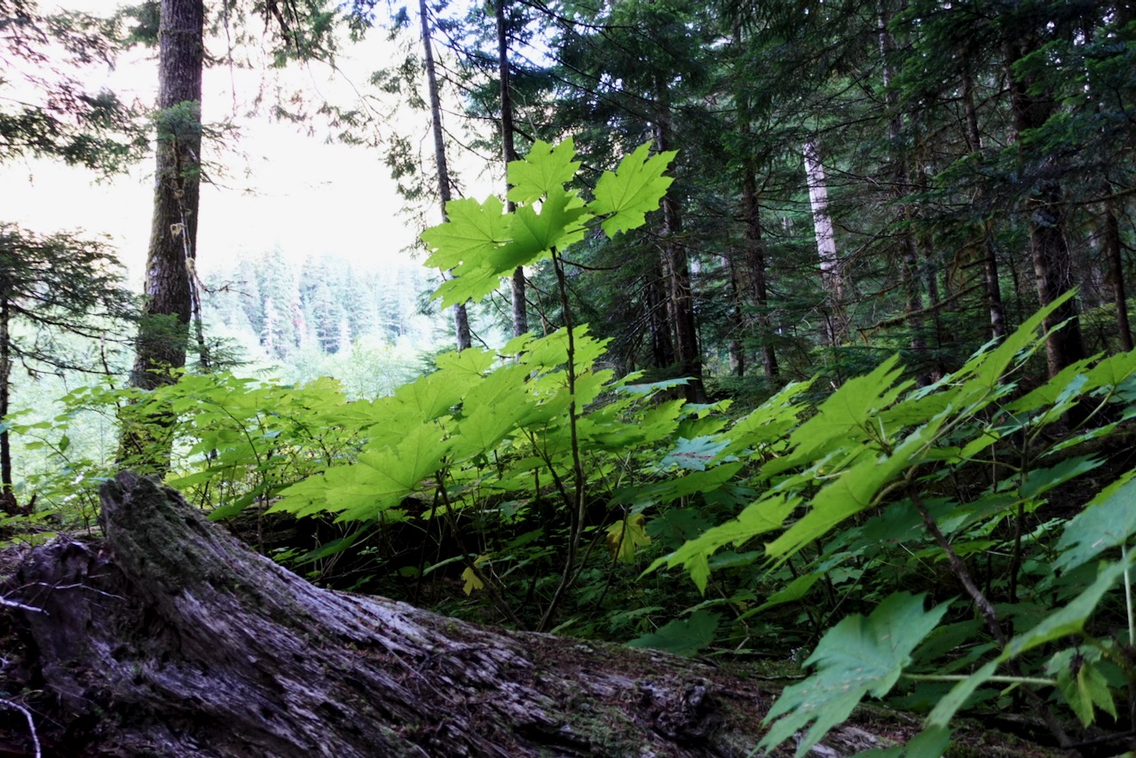
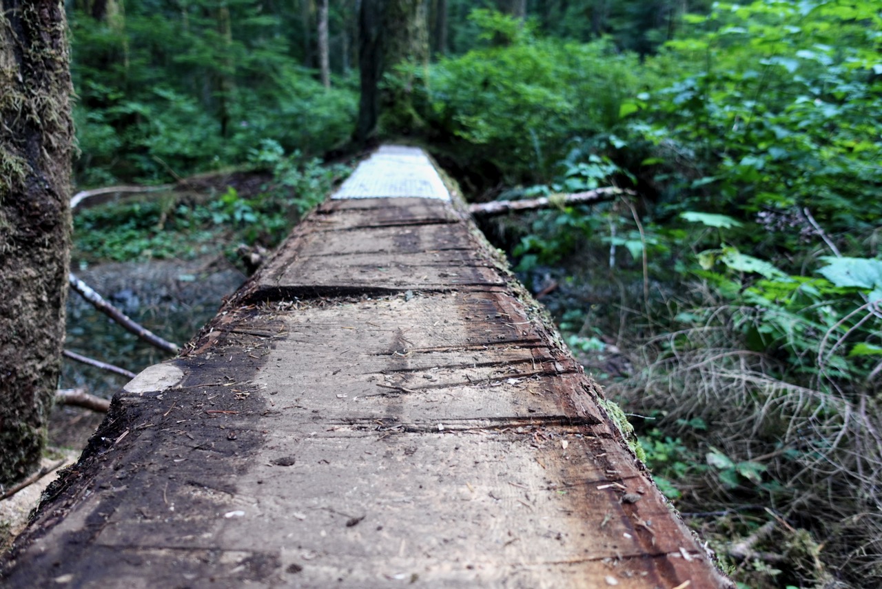
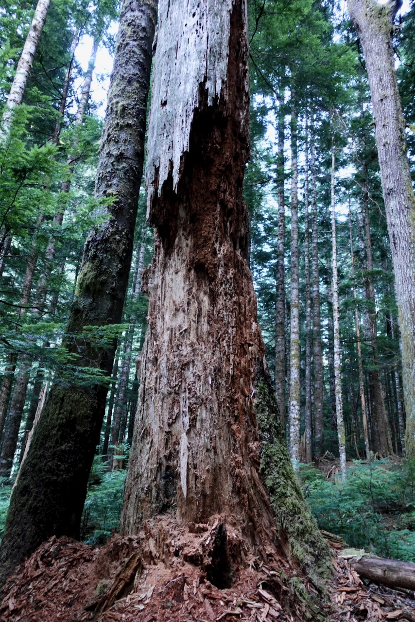
This is classic temperate rain forest. Old growth following the Elk River.
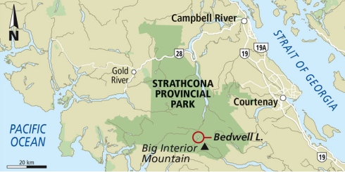
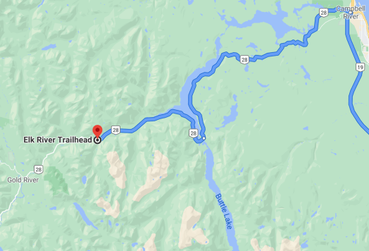
I got to the trailhead late in the afternoon early September.
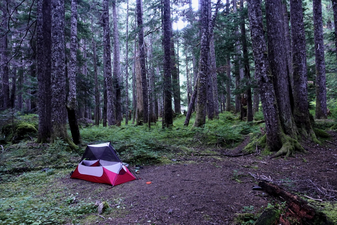
Made the decision to hike only as far as the Butterwort campground (6km) rather than the more popular Upper Gravel Bar campground (9km).
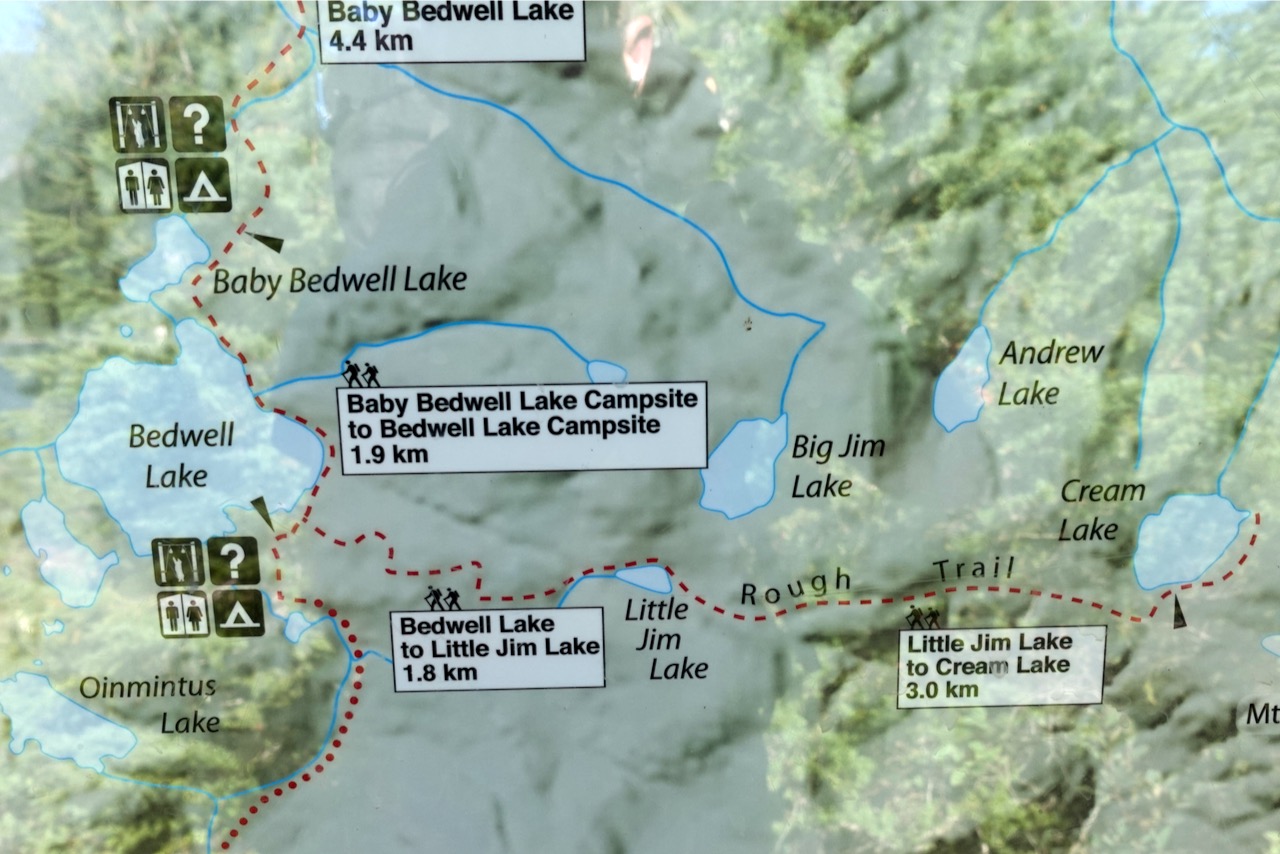
map from Stone guidebook
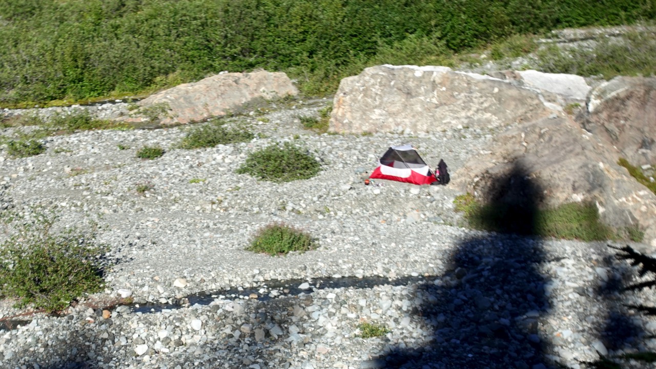
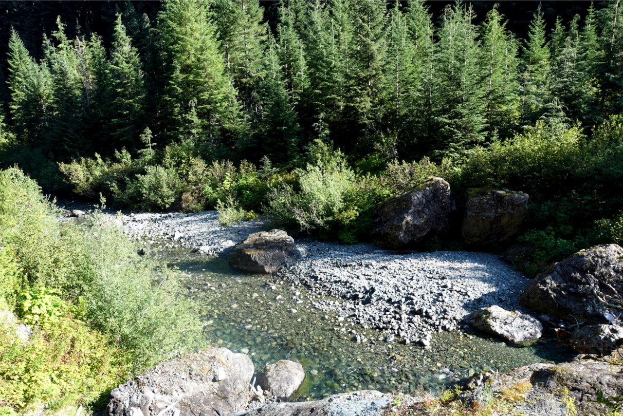
The two campgrounds are literally gravel bars. Nothing fancy.
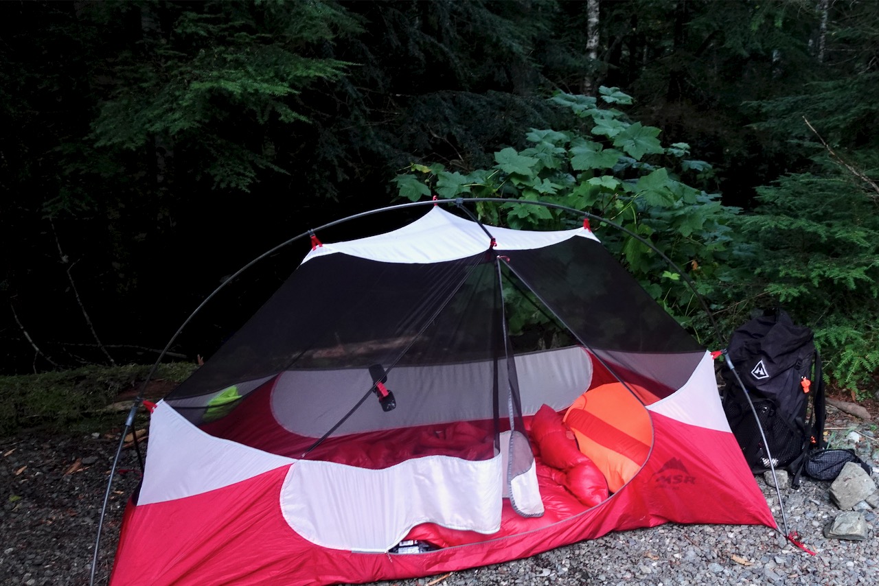
Butterwort campground
Next morning I headed on towards the Upper Gravel Bar campground.
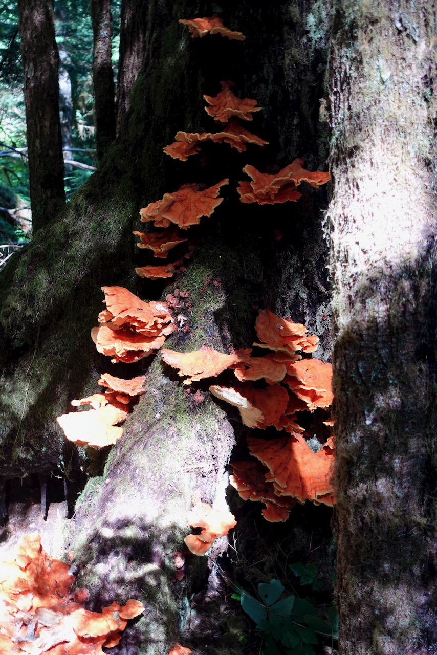
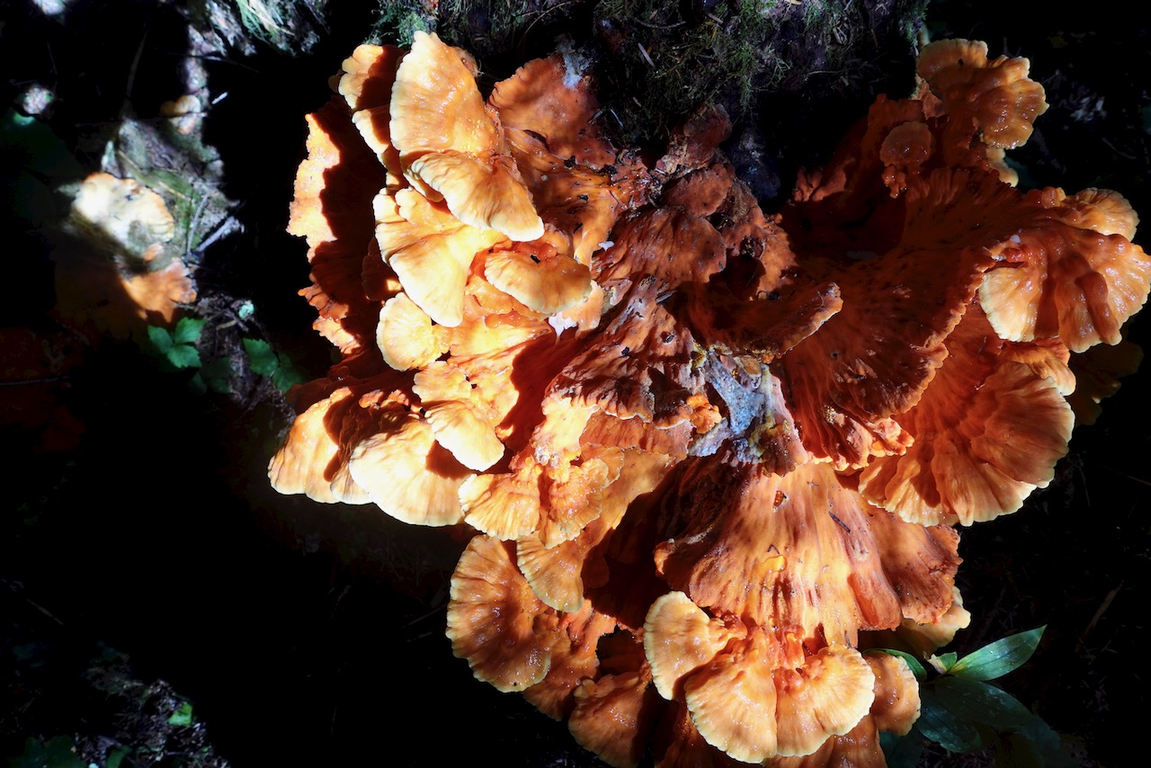
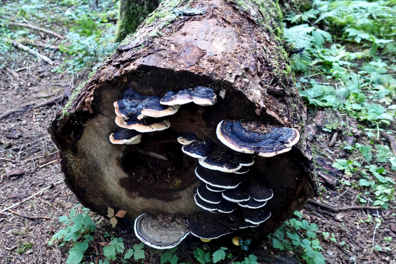
crazy weird mushrooms
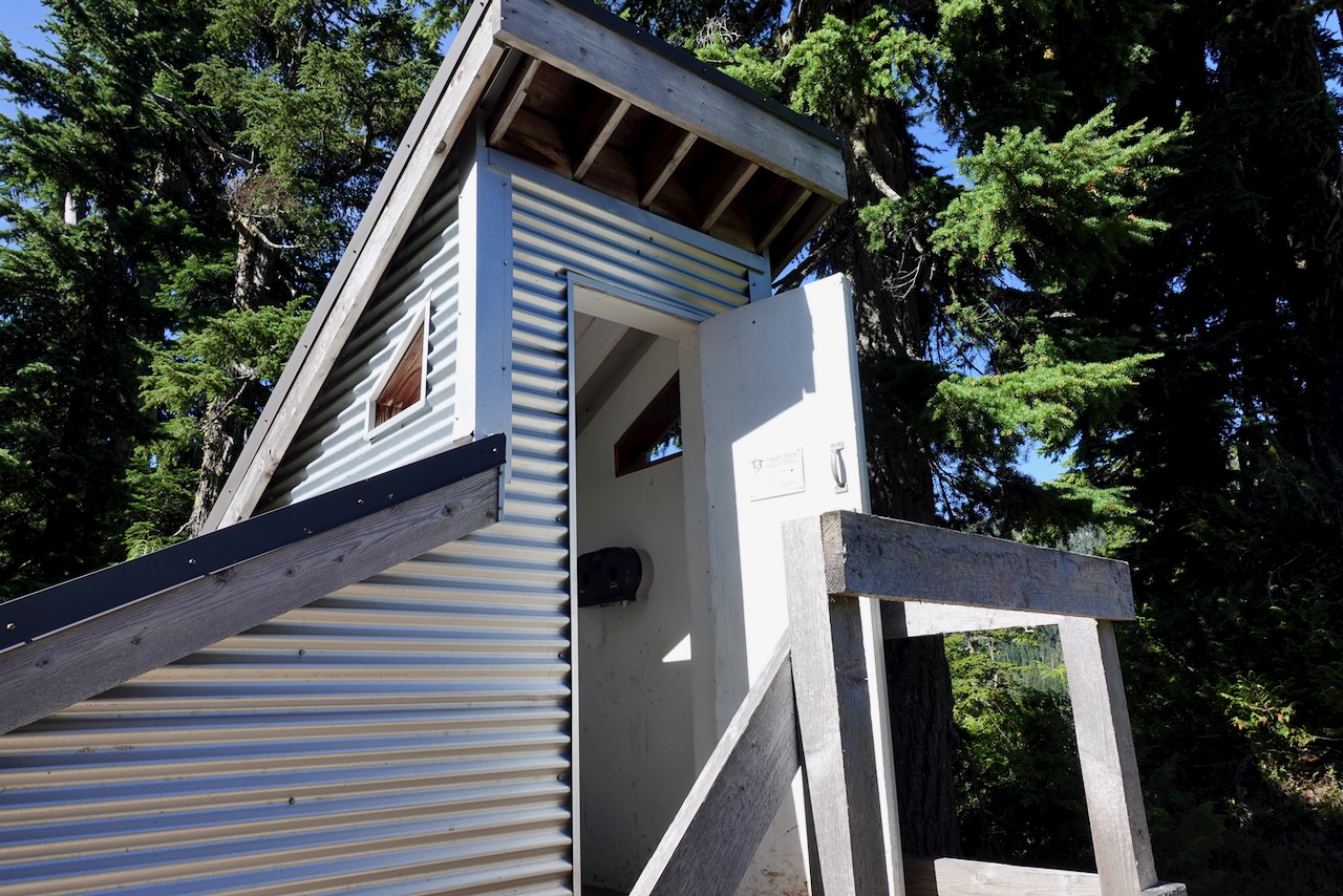
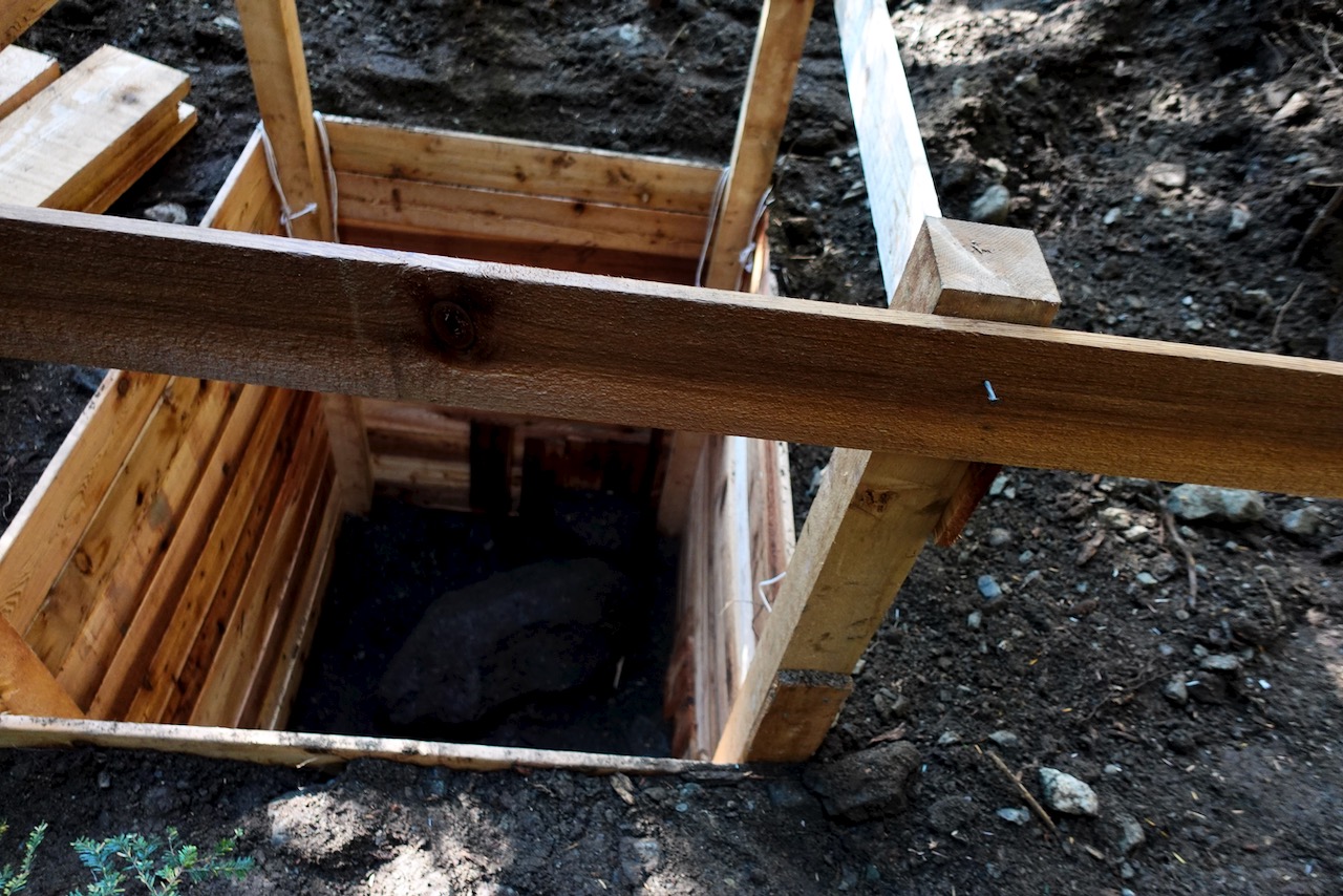
In 2020 the old pit toilets were being replaced. Temporary tent toilets in place.
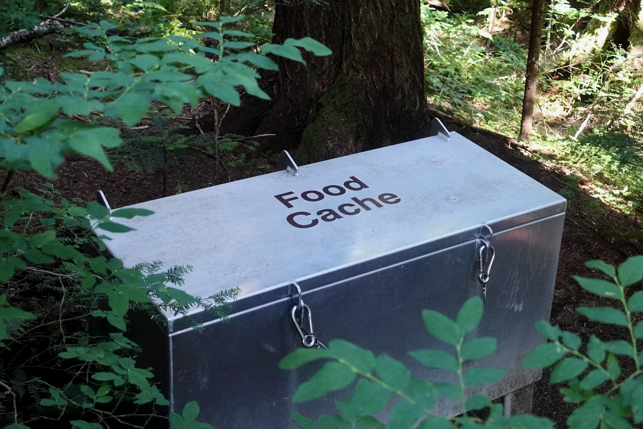
Both campgrounds offer a chance to protect your food from bears. I also had cheeky rodents appear twice at dinner while camping in the Elk River.
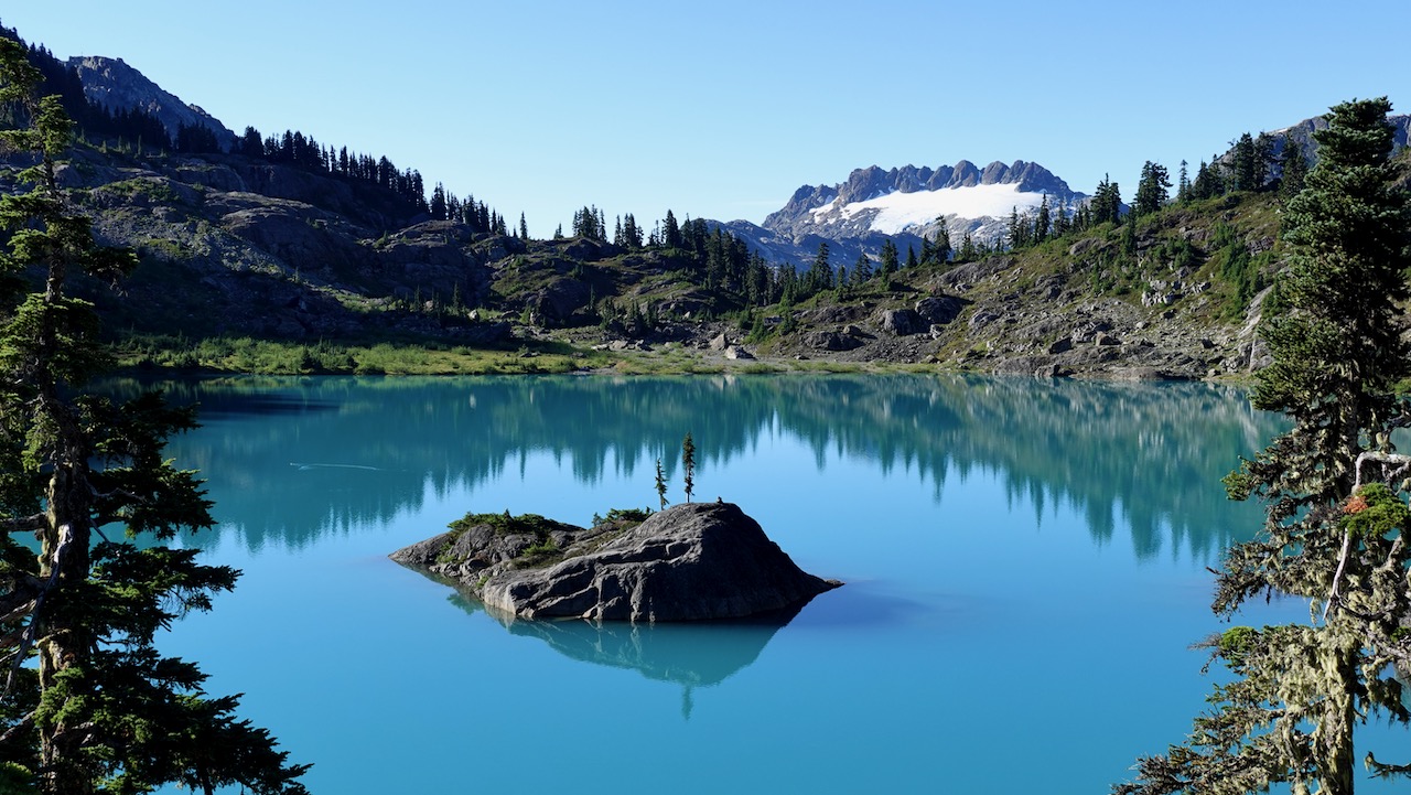
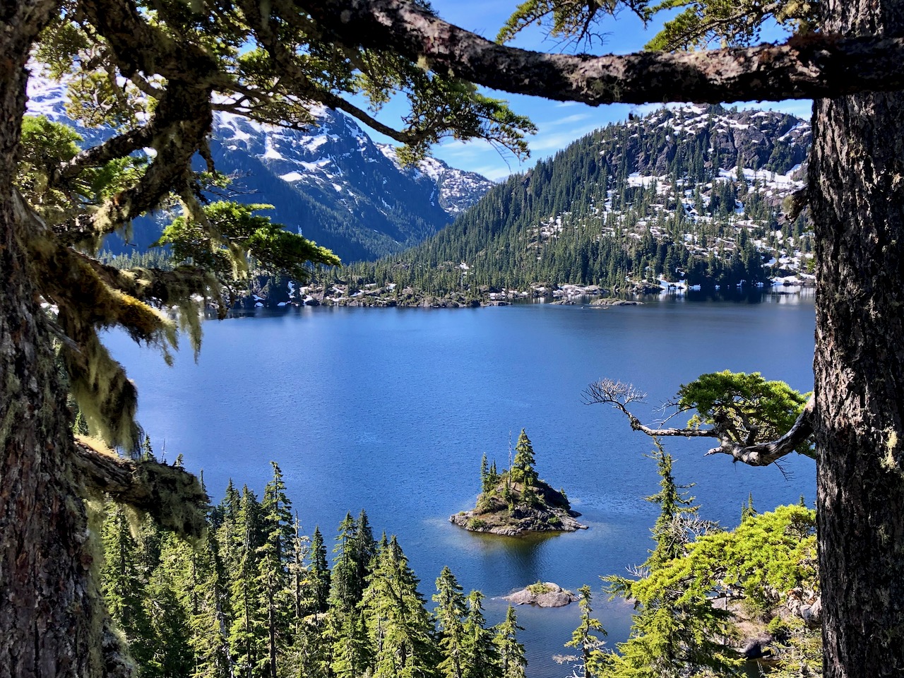
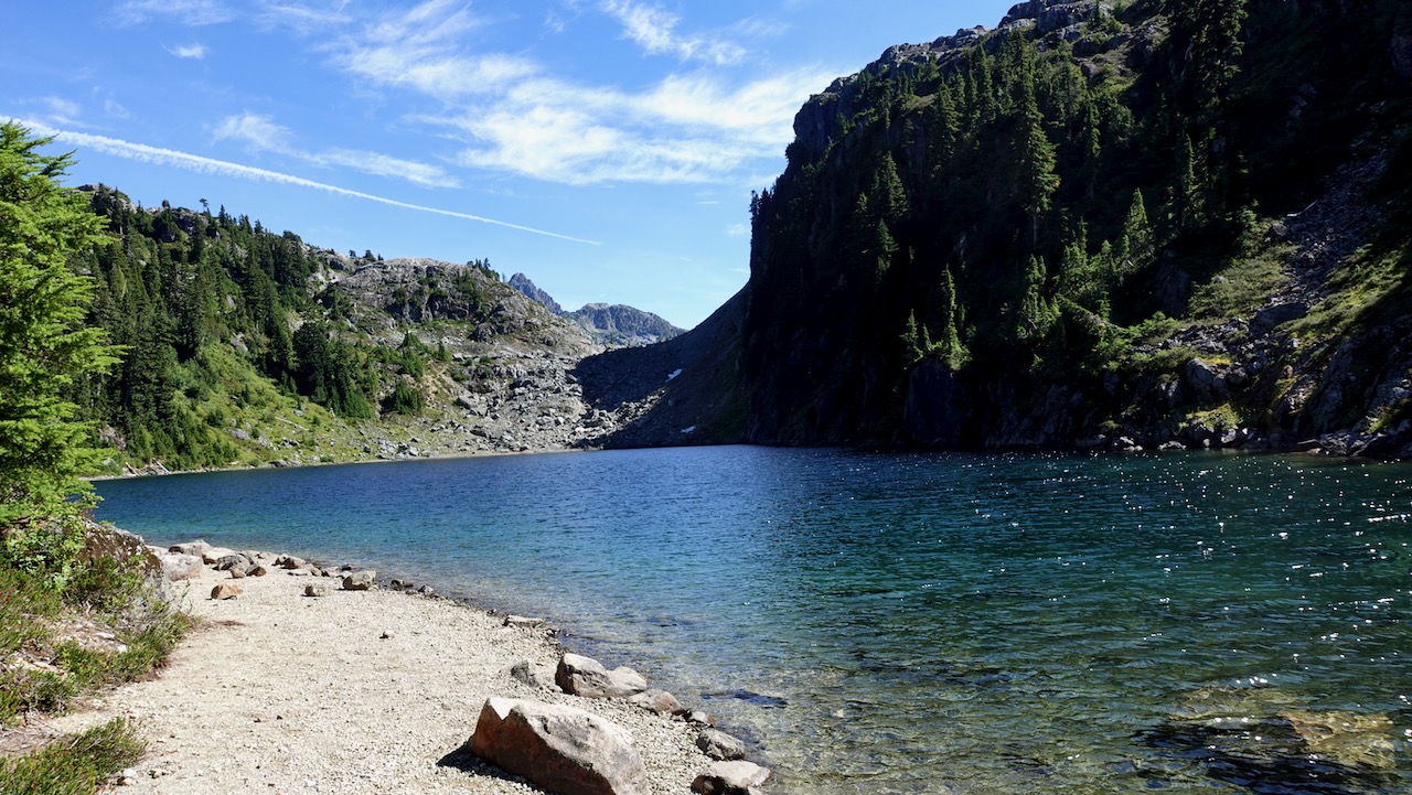
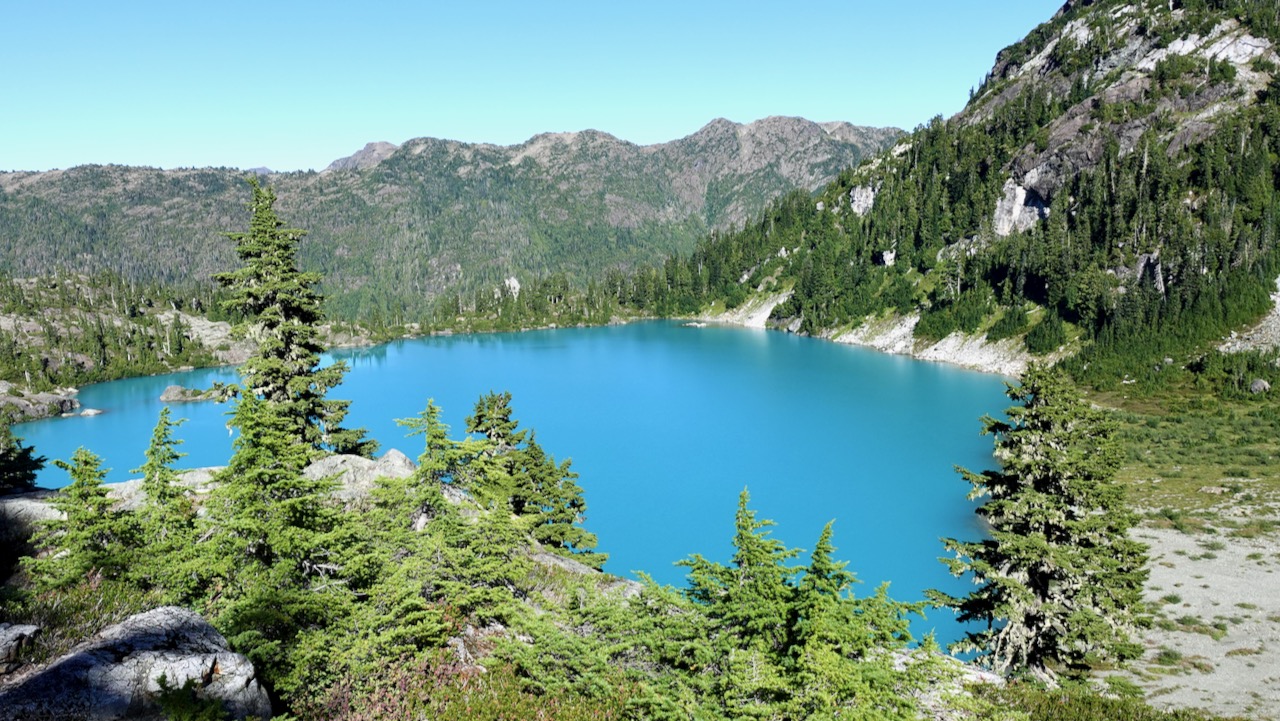
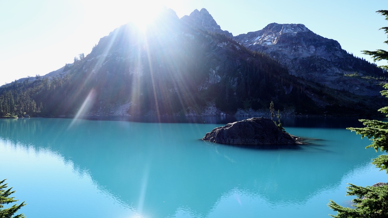
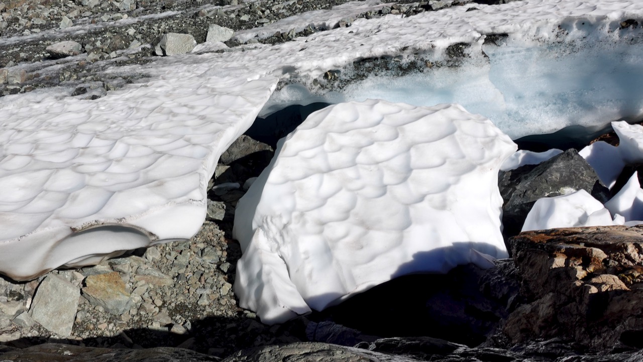
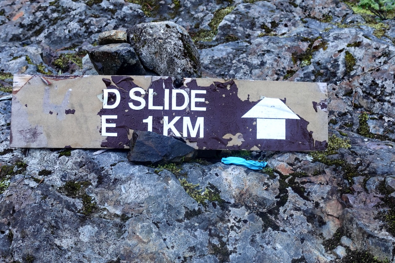
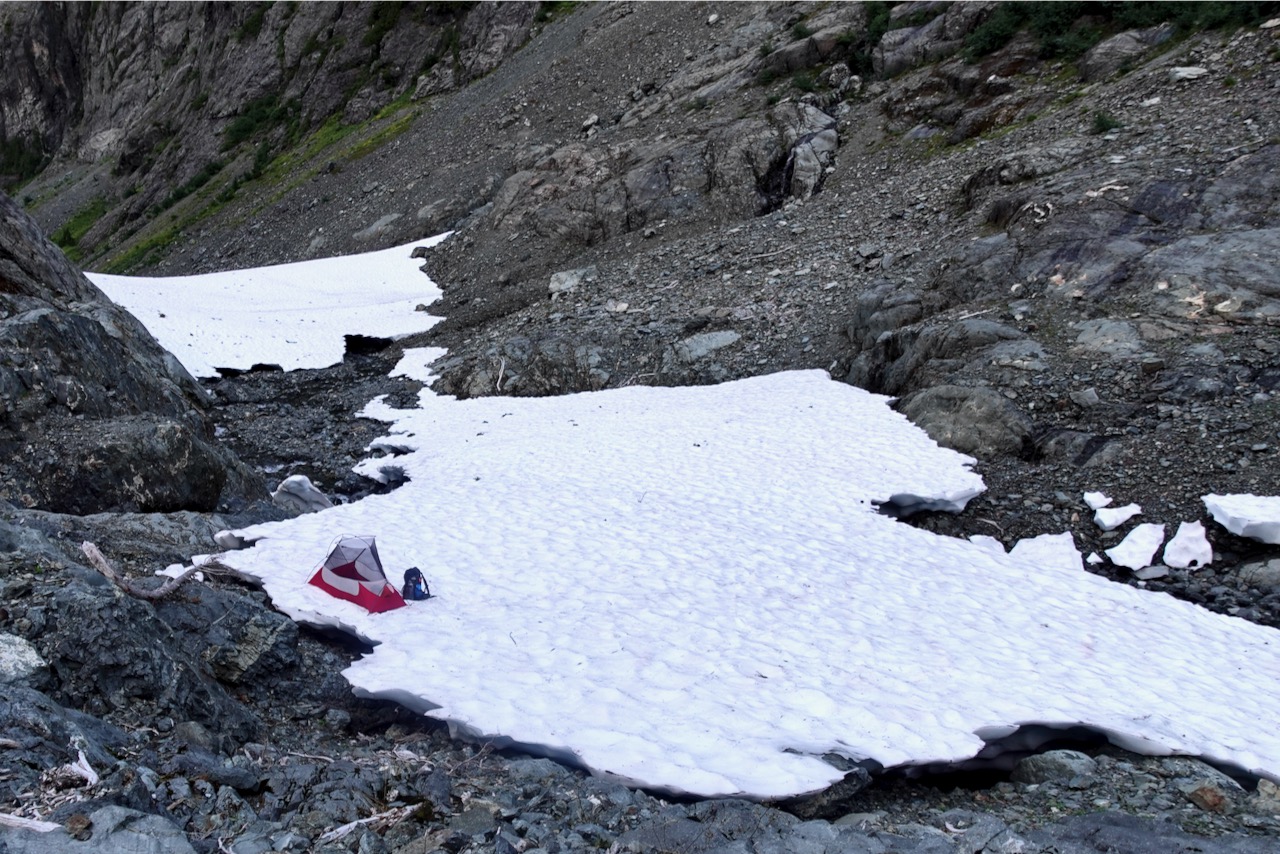
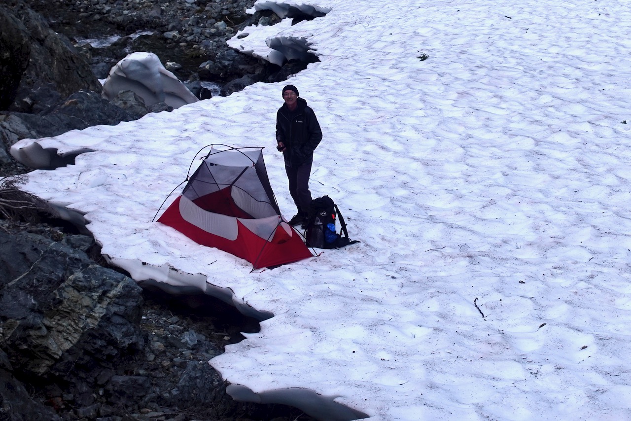
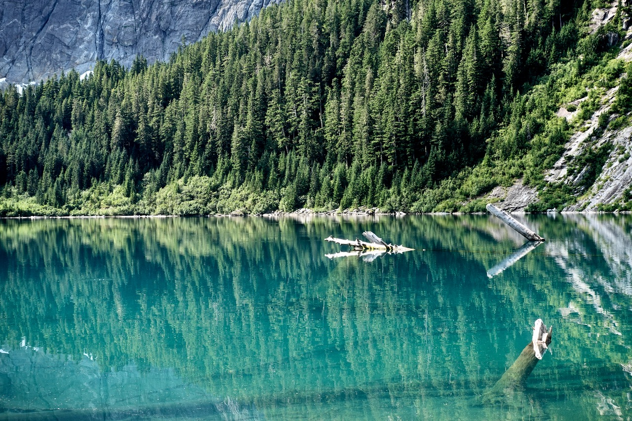
The highlight of the Elk River Trail is the last 1km scramble up to Landslide Lake.
The colours are gorgeous.
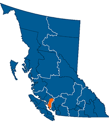
Landslide Lake was changed to the current form in 1946 by Canada’s largest recorded earthquake on land, measuring 7.2, centred in the nearby Forbidden Plateau area. The North Tower of Mount Colonel Foster sheared off, much of it collapsing into the lake.
Tune in to this week’s episode of the Out and Back podcast as Mary tells a thrilling tale about her early days as a wilderness ranger in the Lake Tahoe Basin.
Hear about her first night spent alone in the wilderness and what happened months later when she discovered that a man had been following her around the backcountry. …
Mary … is the Out and Back podcast producer and a writer and editor at Gaia GPS.
When she is not in the office, Mary works as a guide for Andrew Skurka Adventuresin wild places around the west, like Rocky Mountain National Park, Yosemite, and the Brooks Range in Alaska. …
I did Markha Valley independently. But for Kuari Pass I finally signed on with a guided trek.
The hiking infrastructure in India is not well developed. Getting to and from trailheads often a headache. Next time I go to India I’ll likely sign on for trips guided by IndiaHikes.
So far, he has pulled together over 1,000 trails across Uttarakhand, Himachal Pradesh, Ladakh and Jammu and Kashmir.
It shows 600 passes, 700 high-altitude lakes and more than 10,000 reference points. …
It allows hikers to see elevation profiles and download GPS logs onto their phones rather than having to carry multiple, less detailed paper maps.
“The map has more trails than anyone could ever cover in a lifetime,” he says.
“It took me months to plan a long traverse across the Himalaya. With this new digital map, you have all the information in a single place.” …
Everything is open sourced, so can be accessed with any Open Street Maps viewer or mobile app (for free). Other hikers can add information to it and help the resource grow. …