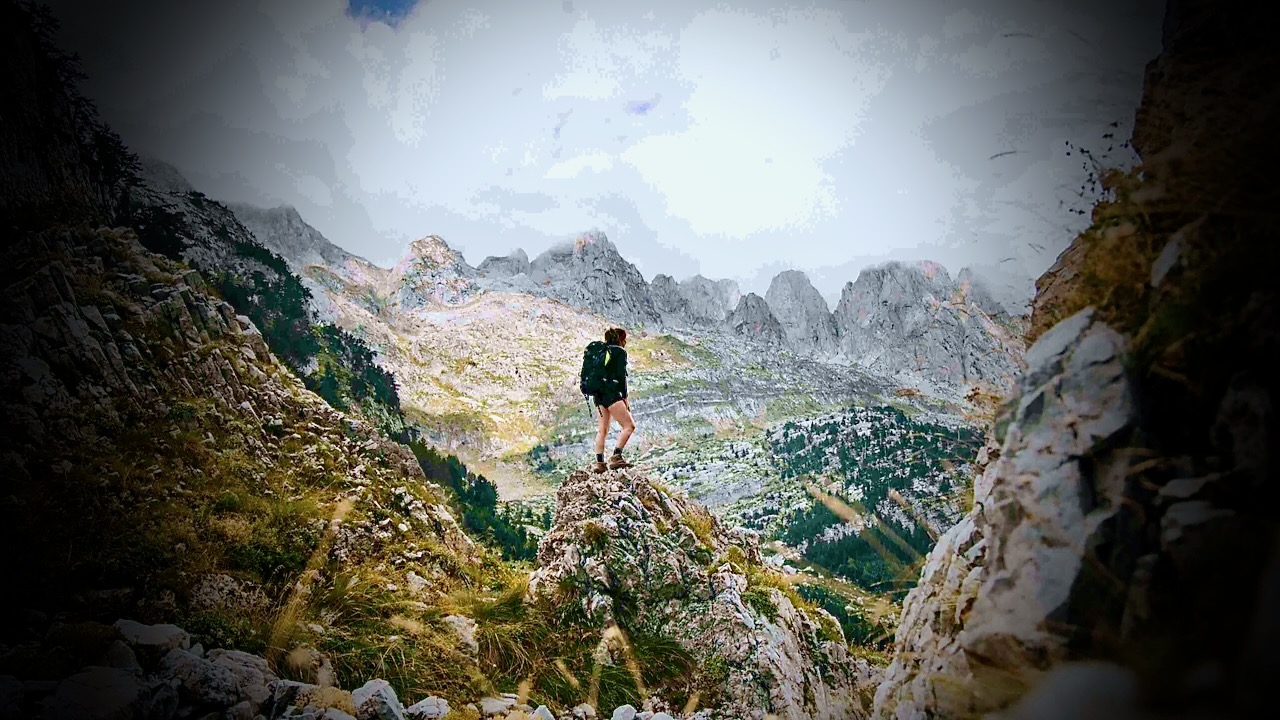
5-day highlights of the longer circuit. Still crossing between Albania, Kosovo, and Montenegro. They call it Balkans Trail, a section of the Peaks of the Balkans.
I’ll carry my own pack. Sleep in my own tent. But enjoy meals provided by my Dutch guides.
I have guided treks in Nepal since 2015, and the two questions I hear most from first-time visitors are “where is Mount Everest, exactly?” and “should I trek to Everest Base Camp or somewhere else?”
The first has a short answer.
The second one deserves an honest comparison, because every year I meet trekkers on the wrong trail: fit hikers bored on gentle routes, and office workers gasping their way toward passes they had no business attempting on a nine-day holiday.
So here is both answers, from someone who walks these trails for a living.
Where is Mount Everest?
Mount Everest sits on the border between Nepal and Tibet (China), in the Mahalangur section of the Himalayas, at 27.9881° N, 86.9250° E. The summit ridge itself is the border: the south side is Nepal’s Sagarmatha National Park, the north side is Tibet.
Nepalis call the mountain Sagarmatha; Tibetans call it Chomolungma.
Almost everyone who treks to Everest goes via Nepal. You fly from Kathmandu to Lukla, a 20-minute flight onto a runway built on a slope, then walk for about eight days to reach base camp. There is no road. Everything you eat above Lukla arrived on the back of a porter, a mule, or a yak, which explains why a bottle of Coke costs five times more at 5,000 metres than in Kathmandu.
One fact that surprises people: you cannot see Everest’s summit from Everest Base Camp. Nuptse’s wall blocks the view. For the classic photograph you climb Kala Patthar, a brown hill above Gorak Shep, at 5,545 metres, usually at 5 a.m. in a wind that goes through every layer you own.
Everest Base Camp: the famous one
Everest Base Camp sits at 5,364 metres (17,598 feet) on the Khumbu Glacier. The standard trek takes 12 days round trip from Lukla, sleeping in teahouses: plywood rooms, thick blankets, a stove in the dining room burning yak dung, and dal bhat twice a day.
The trail is not technical. The difficulty is entirely the altitude: at base camp the air carries roughly half the oxygen of sea level. Most people who fail on this trek fail because they climbed too fast, not because they were unfit. I have watched marathon runners turn back at Dingboche while retirees walked in comfortably, simply because the retirees followed the acclimatization schedule and the runners treated it as a race. If you are considering this trek, read up on how the altitude actually works before you book anything; we published a detailed Everest Base Camp altitude and acclimatization guide that covers the schedules and warning signs.
Who it suits: people who want the name, the Khumbu’s Sherpa villages and monasteries, and don’t mind sharing the trail. In October you will queue at the suspension bridges.
Gokyo Lakes and the Three Passes: same mountains, fewer people
If the crowds put you off, the Gokyo Lakes route branches west from the main EBC trail into a valley of six glacial lakes between 4,700 and 5,000 metres. The water is a blue that looks fake in photographs. From Gokyo Ri at 5,357 metres you see four 8,000-metre peaks in one turn of the head: Everest, Lhotse, Makalu, Cho Oyu. I think it is a better viewpoint than Kala Patthar, and you will share it with a tenth of the people.
The Three Passes trek connects Gokyo, base camp and the Chhukhung valley over Renjo La, Cho La and Kongma La, all above 5,300 metres. It takes 17 to 18 days and it is the hardest teahouse trek in the Everest region. Do not make it your first Himalayan trek.
Annapurna Base Camp: big mountains on fewer days
Annapurna Base Camp (locals just say ABC) sits at 4,130 metres, a full 1,200 metres lower than EBC, which changes everything: shorter itinerary, warmer nights, gentler acclimatization. From Pokhara you can walk to ABC and back in 5 to 7 days through rhododendron forest and the stone-staircase villages of Chhomrong and Sinuwa. The camp itself sits inside a ring of peaks, with Annapurna I (8,091 m) and Machhapuchhre standing over your breakfast.
Most people don’t know there is a second base camp on the mountain’s north side, the historic route of the 1950 French expedition. The North Annapurna Base Camp route takes about five days, sees a fraction of ABC’s traffic, and passes hot springs at the trail’s start. We guide both; I send people north when they tell me they want mountains without a queue.
The Annapurna Circuit: the long walk
The Annapurna Circuit is a different kind of trek: instead of walking to a point and back, you walk around the entire Annapurna massif, crossing Thorong La pass at 5,416 metres, higher than Everest Base Camp. The classic route takes 10 to 12 days now that roads have shortened both ends.
The reason the Circuit endures is variety. You start in rice terraces, climb through pine forest, and end in a high desert that looks like Ladakh. The village of Manang, at 3,519 metres, is where everyone takes an acclimatization day: bakeries selling sea-buckthorn juice and apple pie, a small clinic run by the Himalayan Rescue Association giving free altitude talks at 3 p.m., and day hikes to Ice Lake that prepare your body for the pass. Crossing Thorong La starts around 4 a.m. and hurts. Then you descend to Muktinath temple and the windblown Kali Gandaki valley, and it’s done.
Mardi Himal and Poon Hill: short treks that don’t feel small
Not everyone has two weeks. The Mardi Himal trek climbs a forested ridge directly above Pokhara to a high camp at 3,580 metres and a viewpoint at 4,500, staring straight into Machhapuchhre’s fishtail summit. Five to seven days, quiet trails, and in spring the entire ridge flowers red with rhododendron. It has become my standard recommendation for first-time trekkers.
Ghorepani Poon Hill is shorter still, 3 to 4 days, topping out at 3,210 metres. The price of admission is the stone staircase at Ulleri, roughly 3,300 steps that will introduce you to muscles you forgot. The reward is the sunrise from Poon Hill, when Dhaulagiri and the Annapurnas turn orange in sequence. Yes, there will be a crowd at the top with camera phones. It is still worth it.
Manaslu Circuit and Tsum Valley: the quiet circuit
The Manaslu Circuit is what the Annapurna Circuit was thirty years ago. It loops around Manaslu, the world’s eighth-highest mountain, crossing Larkya La at 5,106 metres, through villages where Tibetan Buddhism is not a decoration but the daily schedule. It is a restricted area: you need a special permit and a licensed guide, and you must be a group of at least two trekkers. That paperwork keeps the numbers low. On a November morning below Samagaon I have walked two hours without meeting another foreigner.
Add the Tsum Valley and you get a side trip into a hidden Buddhist valley that only opened to outsiders in 2008, with nunneries, mani walls, and a customary ban on animal slaughter. The full Manaslu Circuit itinerary runs about 11 days; with Tsum it stretches to 18.
Upper Mustang: the desert behind the mountains
Upper Mustang is the odd one out: a high-altitude desert in the Himalayan rain shadow, so you can trek it in monsoon season when every other trail drips. The route follows the old salt-trade corridor up the Kali Gandaki to Lo Manthang, a walled city of whitewashed houses and 15th-century monasteries near the Tibetan border. The landscape is eroded red and grey cliffs pocked with cave dwellings. The permit costs US$500 for ten days, which filters the crowds better than any distance could.
The honest comparison
Trek
Days
Max elevation
Difficulty
Best for
Everest Base Camp
12–14
5,545 m (Kala Patthar)
Hard (altitude)
The classic; Sherpa culture
Gokyo Lakes
11–12
5,357 m (Gokyo Ri)
Hard
EBC views, fewer people
Three Passes
17–18
5,535 m (Kongma La)
Very hard
Experienced trekkers
Annapurna Base Camp
5–7
4,130 m
Moderate
Big mountains, short leave
Annapurna Circuit
10–12
5,416 m (Thorong La)
Hard
Variety, teahouse culture
Mardi Himal
5–7
4,500 m
Moderate
First Himalayan trek
Ghorepani Poon Hill
3–4
3,210 m
Easy–moderate
Families, tight schedules
Manaslu Circuit (+Tsum)
11–18
5,106 m (Larkya La)
Hard
Solitude, Tibetan culture
Upper Mustang
10–12
3,840 m
Moderate
Monsoon season, desert landscapes
How to choose
Ask yourself three questions. How many days do you really have, counting the two buffer days every Himalayan itinerary needs for weather? Have you slept above 4,000 metres before, and how did it go? And do you want the famous trail or the quiet one?
If you have two weeks and want the name: Everest Base Camp, done slowly. Ten days and you want variety: the Annapurna Circuit. A week: ABC or Mardi Himal. If you have trekked before and want Nepal as it used to be: Manaslu. And if someone tells you a trek is “easy,” check what altitude they sleep at before believing them. The mountain does not care about anyone’s marketing.
Mohan Raj Bhandari is the founder and lead guide of North Nepal Travel & Trek, a guide-owned trekking company in Pokhara, Nepal. His team has guided the Annapurna, Everest and Manaslu regions since 2015 and publishes weekly trail-condition updates from its own treks.
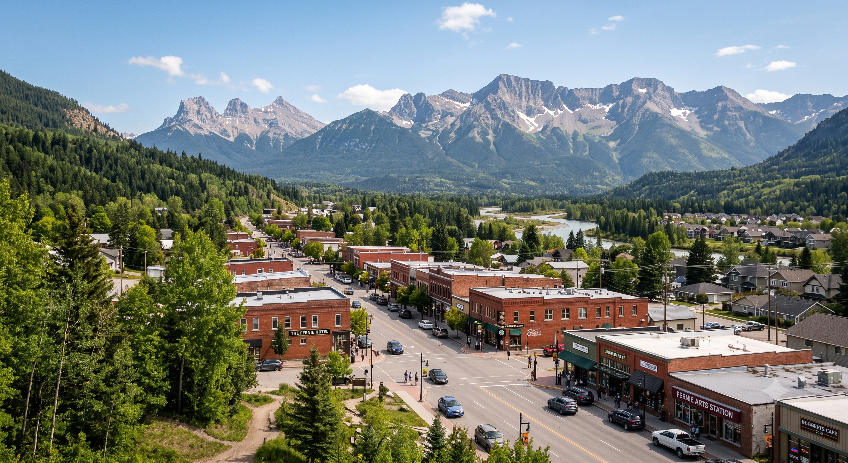
Though I’ve driven through Fernie, British Columbia, at least 100 times, I’d never before stopped as a tourist.
It’s fantastic.
A.I.
A year round outdoor recreation mecca.
Hiking. Mountain biking. Rafting. River tubing.
Not to mention world-class fly fishing on the Elk River for cutthroat and bull trout.
Fernie is most famous for Alpine Skiing and Snowboarding.
There are over 300 kilometers of multi-use recreational trails accessible directly out of town.
The owner of Edge of the World snowboard shop pointed out that he can hike or bike in any direction from town — and be on a fantastic trail in minutes. (He also had to deploy bear spray to dissuade a Black Bear on the day of my arrival. There is plenty of wildlife around Fernie.)
There are 4 dedicated bike and outdoor shops in a town of less than 6500 locals!
Repost from 2014. The only time I ever visited Lesotho.
trip report by site editor Rick McCharles
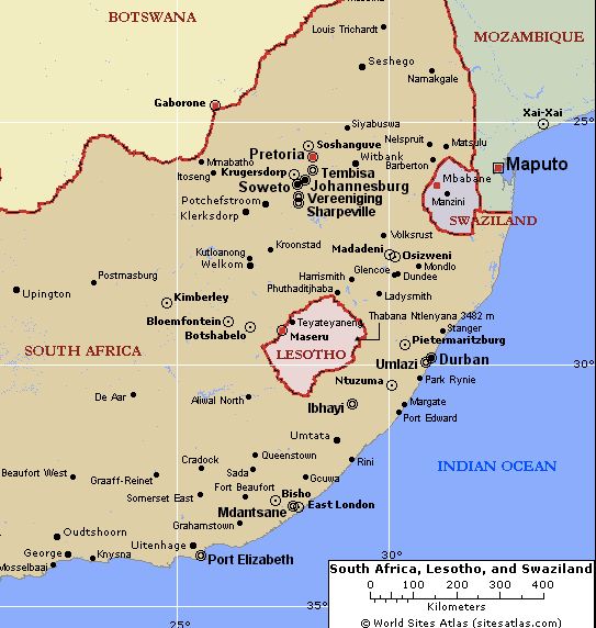
The landlocked mountain kingdom of Lesotho is an enclave completely surrounded by South Africa.
Population just over two million, about 40% of the population lives below the international poverty line of US $1.25 a day. It’s one of the poorest nations on Earth.
The easiest way to hike Lesotho is by guided day tour ($50) out of Amphitheater Backpackers in the northern Drakensberg.
Our first stop was at Mafika-Lisiu school, the only one for many miles. Amphitheater Backpackers built a classroom.
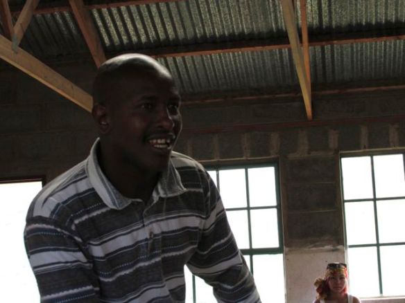
One of the teachers joined us as an assistant guide. Local information, first hand.
This teacher has been waiting nearly 2yrs for a visa that would allow him to visit South Africa as a tourist.
Lesotho once had the opportunity to join South Africa, but the leaders — considered very corrupt — declined.
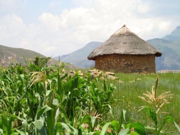
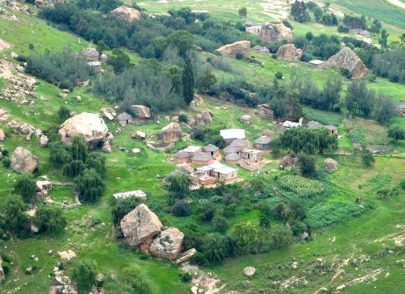
Many families here are self-sufficient, not much using currency. Maize is the primary crop. 75% of the population is rural.
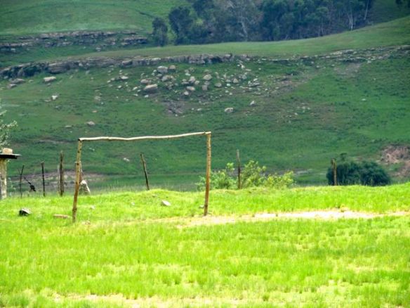
No electricity. No formal shops. The school does have a football field.
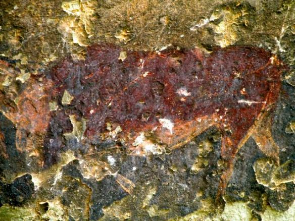
From the school we hiked up to see some of the famous cave paintings.
Sadly, many had been defaced.
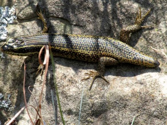
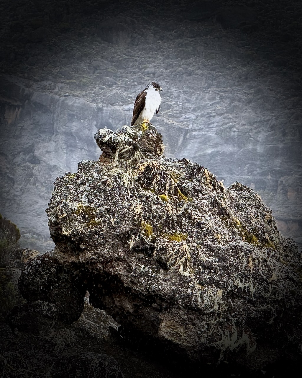
Again we saw plentiful bird life, but no wildlife. This was the wildest creature en route.
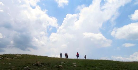
From the caves our group had the option to extend the hike up on to a ridge.
Hans loved the tranquility of the valley.
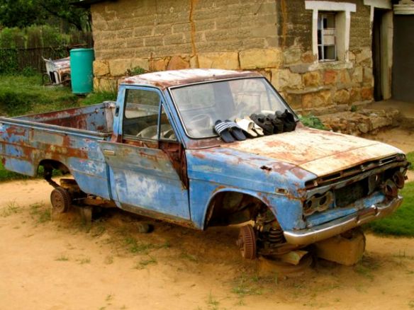
There are “roads” in Lesotho, but most are awful.
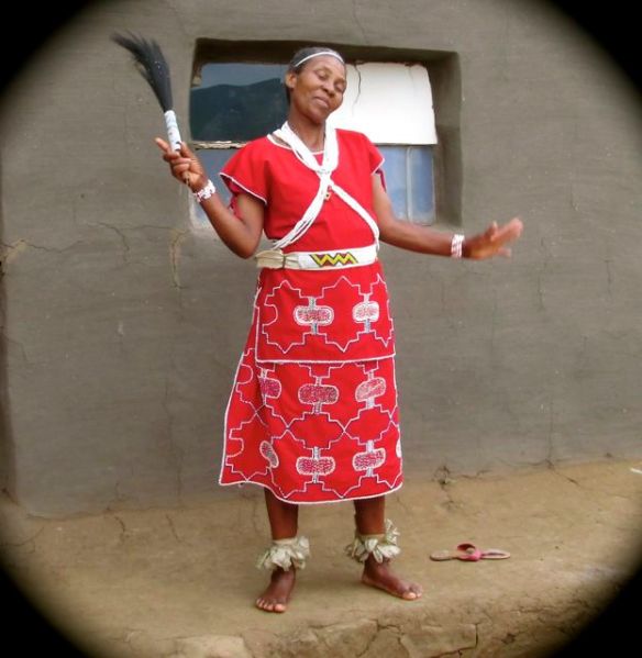
Hans signed on for the tour because he wanted to see a traditional African healer.
She’s entirely self-taught. Her healing ability is a “gift” first revealed in dreams.
Here is her home.
I’m a skeptic of natural medicine. But most people in Lesotho do not have the money nor transportation to make the long trip to a clinic or hospital. She is all they’ve got.
Her bedside manner is excellent. Warm and charismatic.
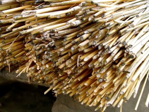
One tidbit we learned is that the traditional round houses with thatched roofs are slowly being phased out. Thatch is expensive in 2014. And must be replaced regularly.
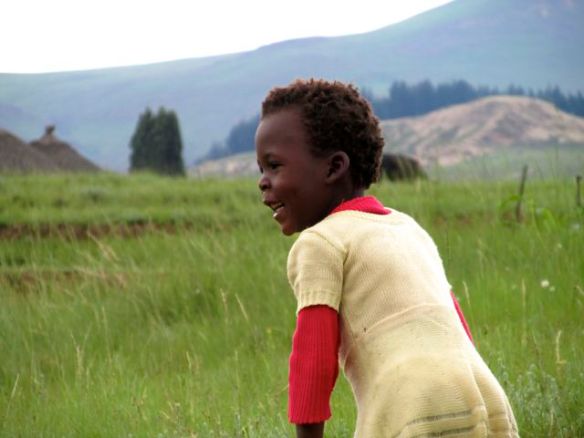
Children here do not have much. The healer married at age-20 and had had 8 children.
Kids seem to roam about unattended by parents. They are raised (and disciplined) by the village.
AIDS infects about ⅓ of the population. But we heard nothing of that on the tour.
Theft of animals is the most worrisome “crime” in Lesotho. Though the kids are ignored, valuable stock animals are watched closely.
One local man was trying to chase down a young cow while we were there. 🙂
Full disclosure: I had been booked on a serious 8hr mountain climb for this day. But opted out, switching to the Lesotho cultural tour instead. After only one day in the summer sun, I was too sunburned to risk a tough climb.
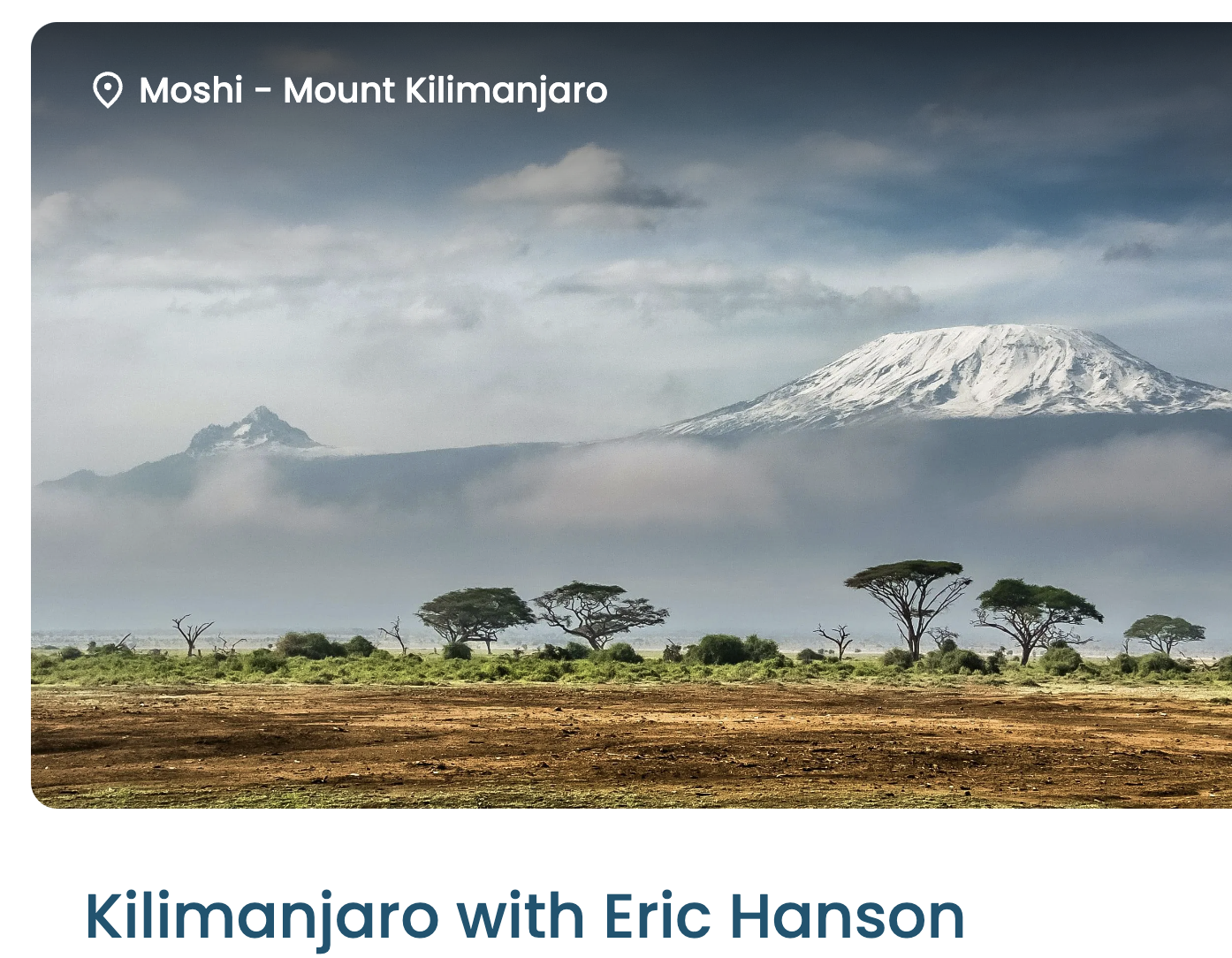
Eric is one of the top hiking YouTubers. One of the reasons I signed up instantly when he posted this trip is for the superb video documentation.
Before you sign up for Kili, watch his 43 minute documentary in 4K.
Sure Kili is one of the easiest trekking peaks close to 6000m — but it ain’t easy.
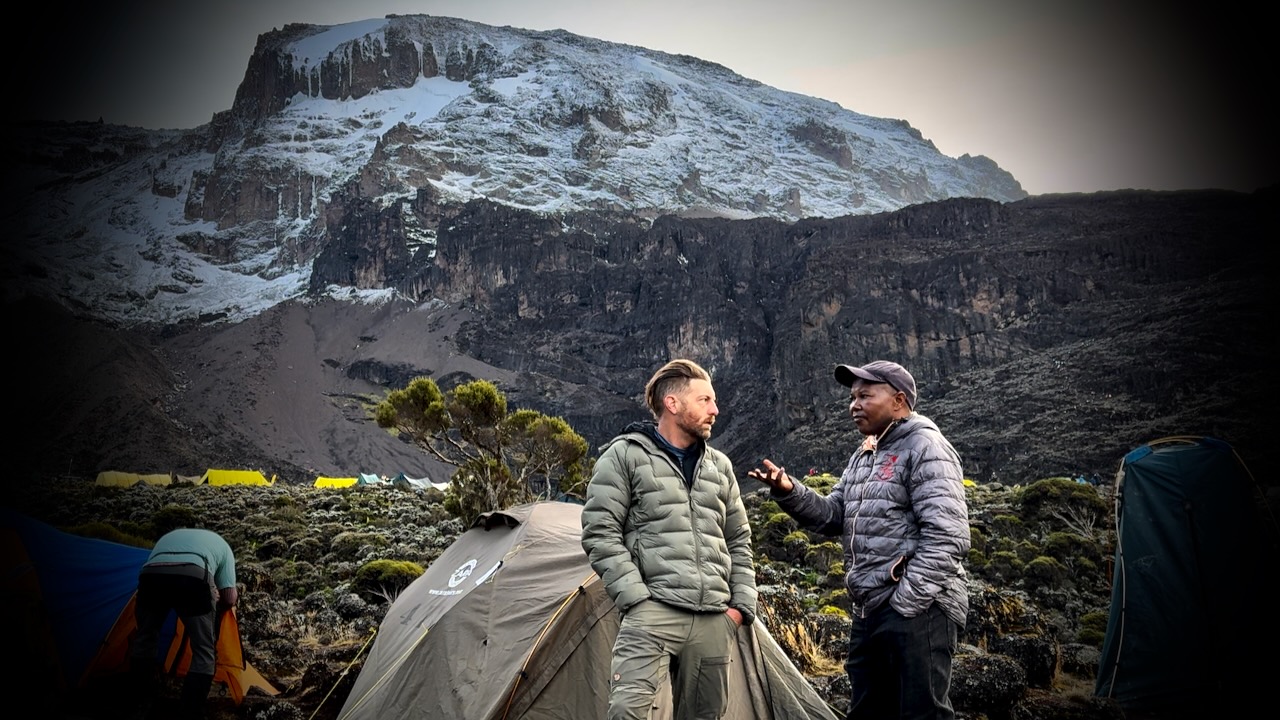
This guided trek on the highest mountain in Africa is as good as it gets. Eric worked with Zara Tours, the biggest outfitter on the mountain. TrovaTrip handled logistics.
Kraig Adams calls this adventure perhaps the hardest and longest hike of his life.
It’s high on my own life list. Cost and logistics are challenging.
By coincidence, I met guide Ian Taylor, the both of us finishing Kilimanjaro on the same day. I talked to him about possibly signing up for one of his K2 & Gondogoro La adventures in 2027.
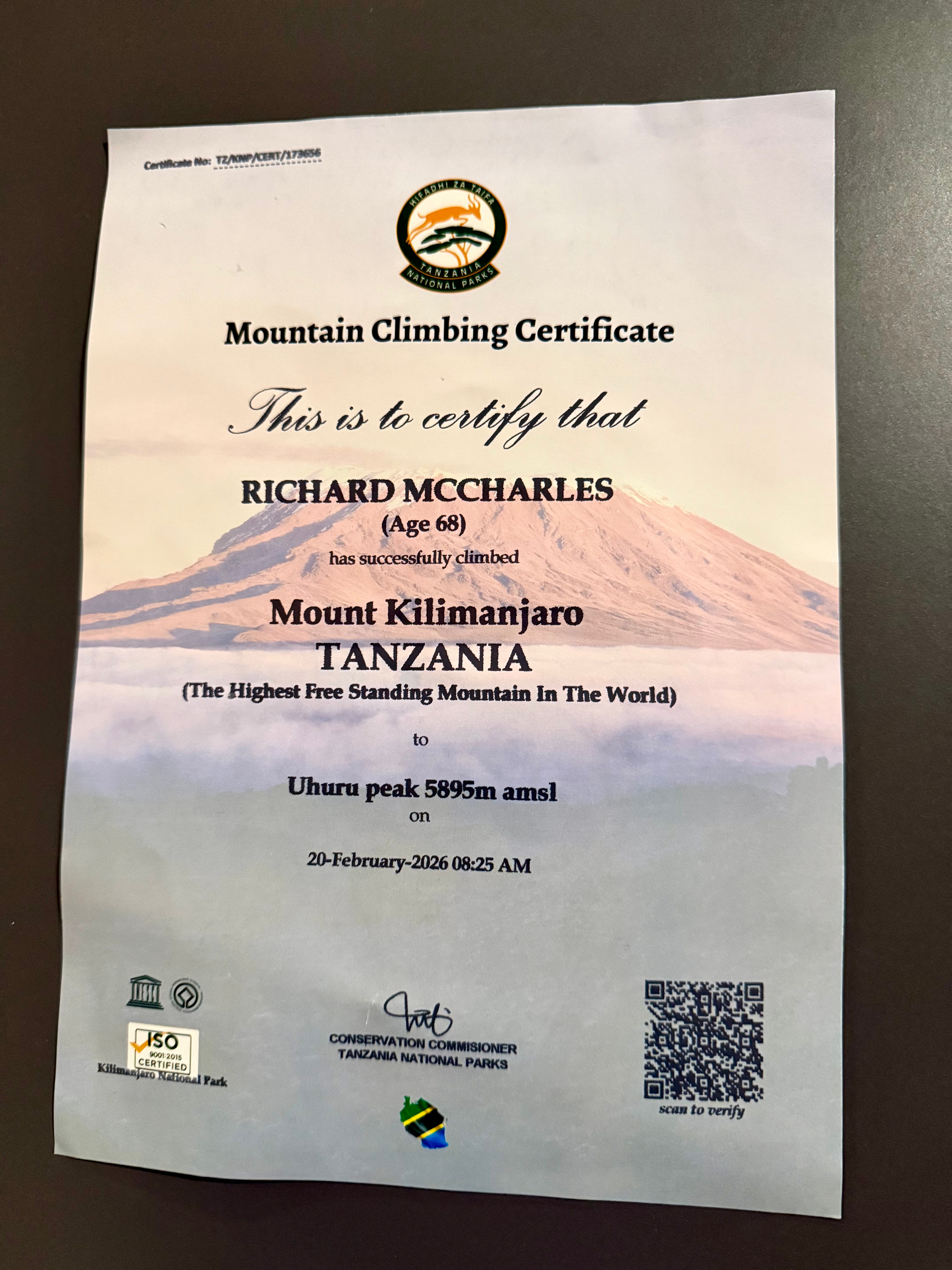
We had 22 hikers. 18 of us made both summits. That’s about typical for the Machame Route. It went well for me. My 3 weeks training & acclimatizing in Ecuador prior to this trip was a good idea.
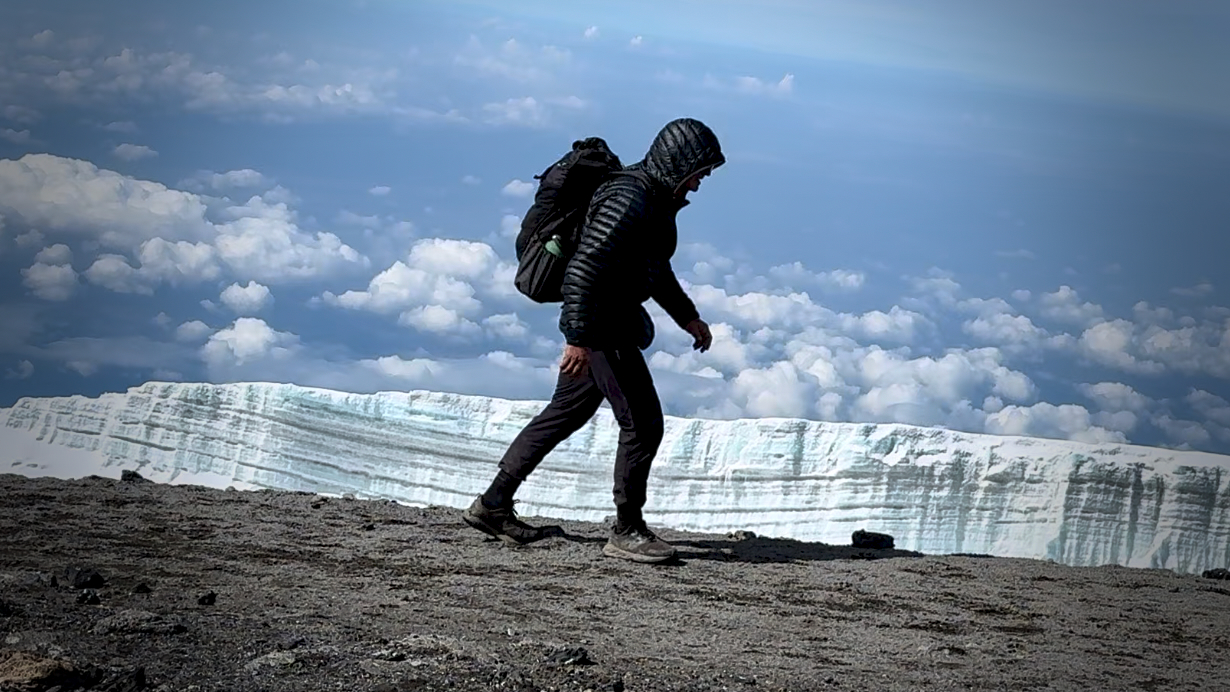
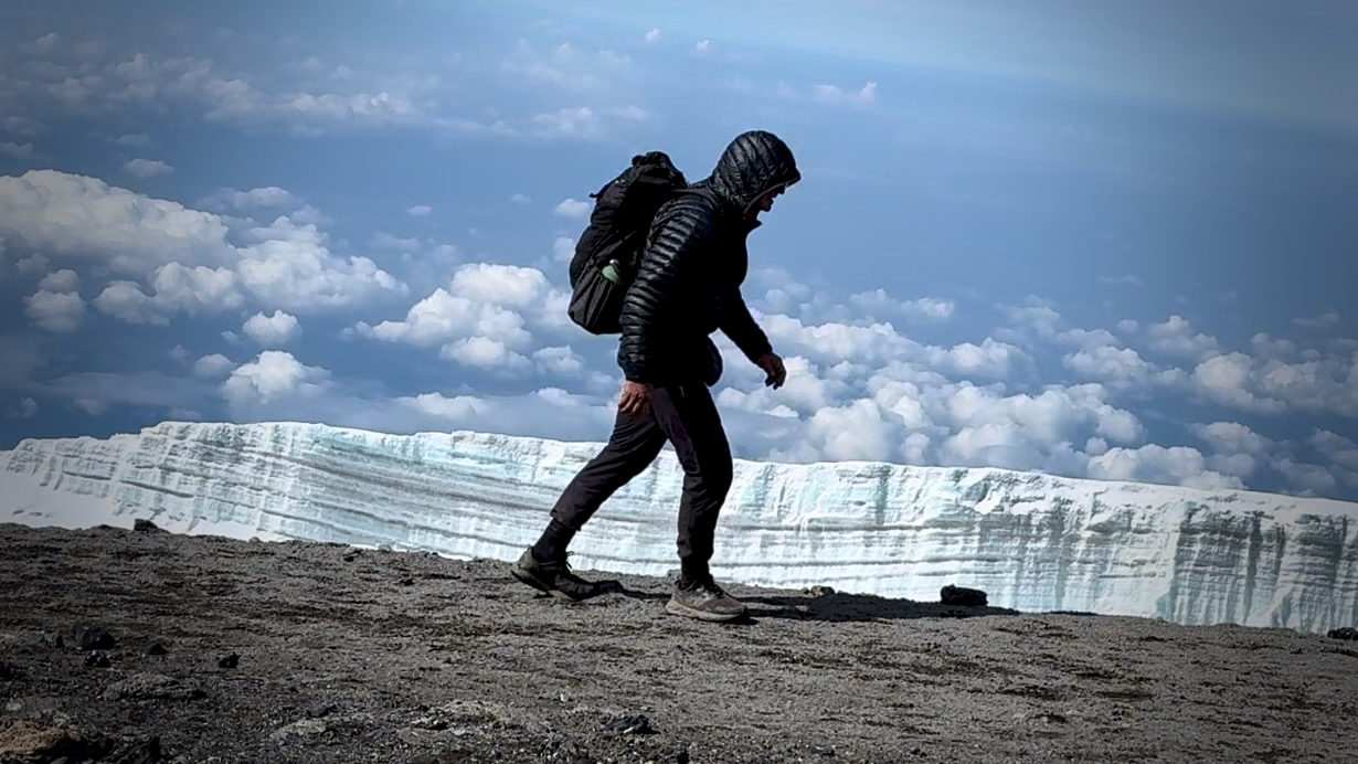
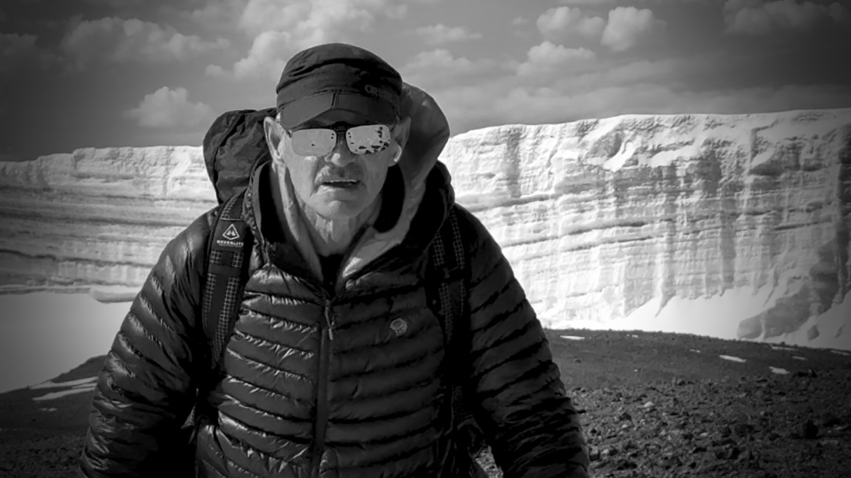
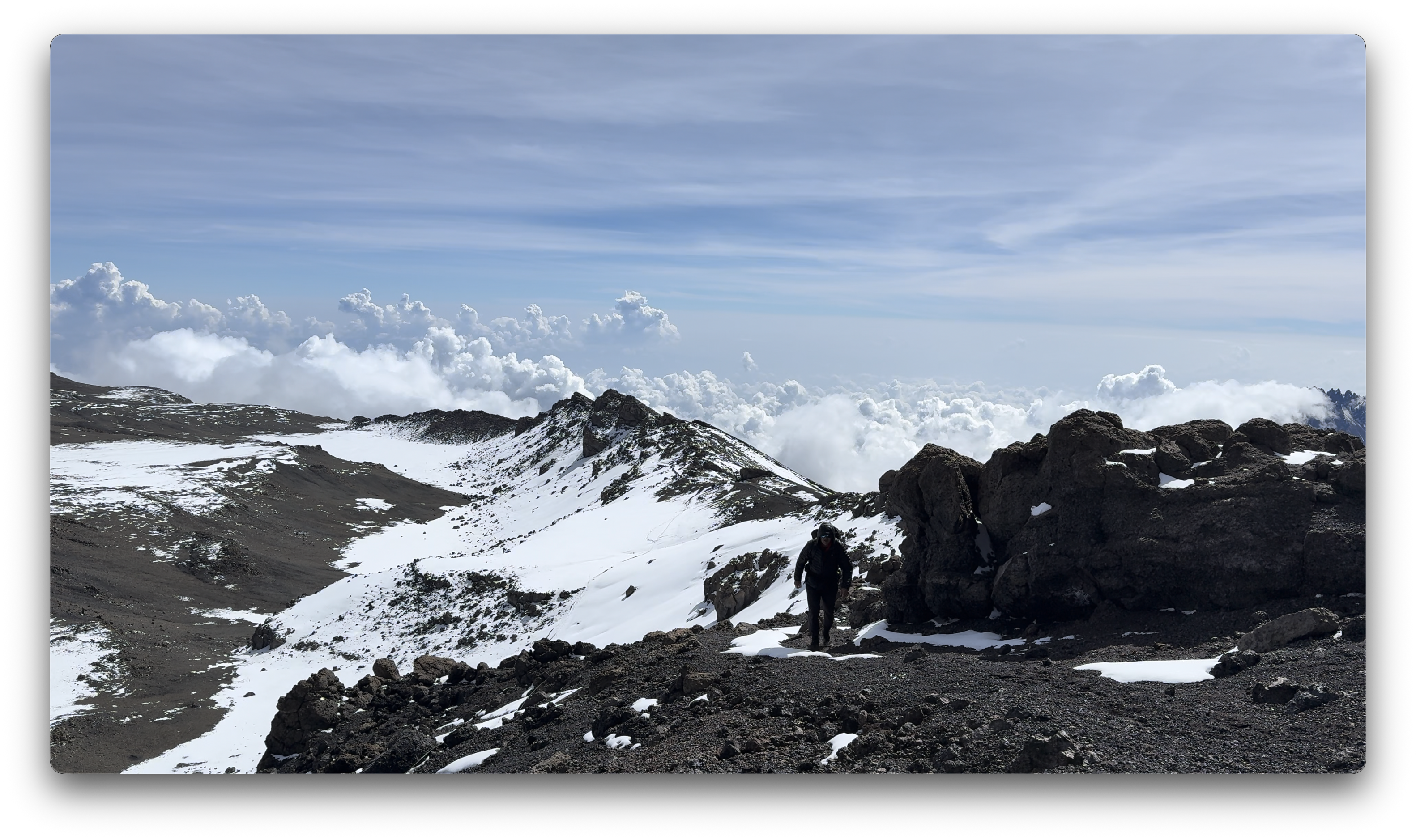
Kili Summit Ridge
Age & fitness matter much less than the ability to acclimatize to altitude.
It took me 68-years to finally get to Kilimanjaro. The eldest my African guide got to the summit was 79.
We had another in our group age-66.
Truly impressive is one of our assistant guides who’s been to the summit over 200 times over 31 years. He’s age 64.
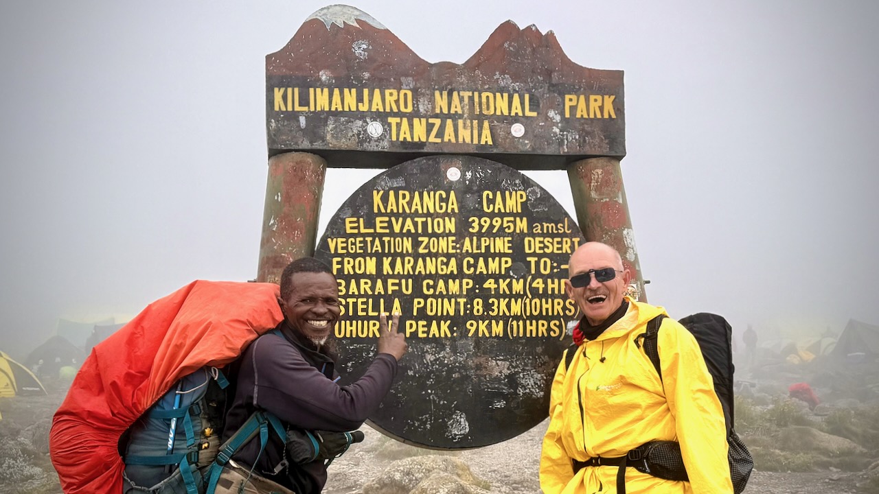
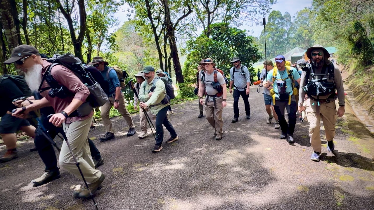
Here we are — clean & keen — at the start of the 7 day adventure.
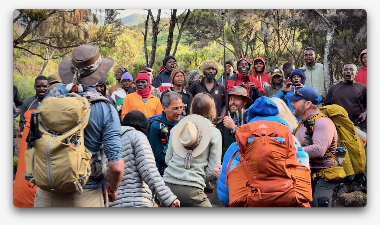
In fact, it was a party from the start as many who had hiked with Eric in the past joined for Kili. I was simply an addition to a large group, many who knew one another. This is a very social adventure ➙ shared suffering.
Eric was our American guide. Freddy our African guide. Both responsible for keeping us safe. It was these two who’d make the decision whether or not you were healthy enough to keep climbing.
Those who decided to go down were unable to acclimatize quickly enough. We had daily blood oxygen tests.
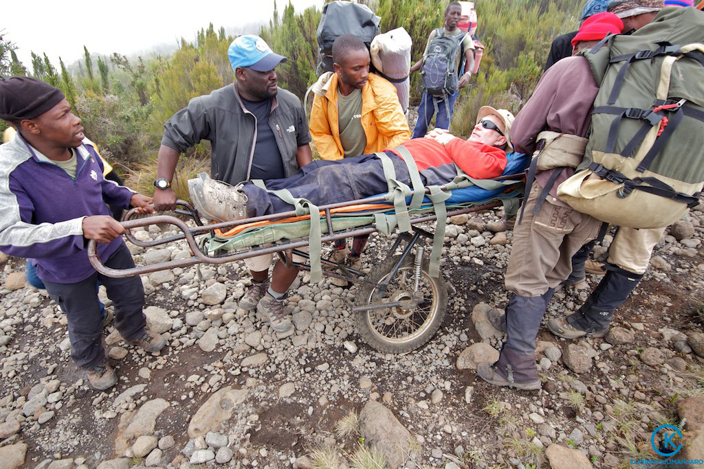
Three decided to walk out. One took a helicopter, hoping she will recoup the $4100 cost through insurance.
New to me on a trail was the singing and dancing. Non-stop. To the top.
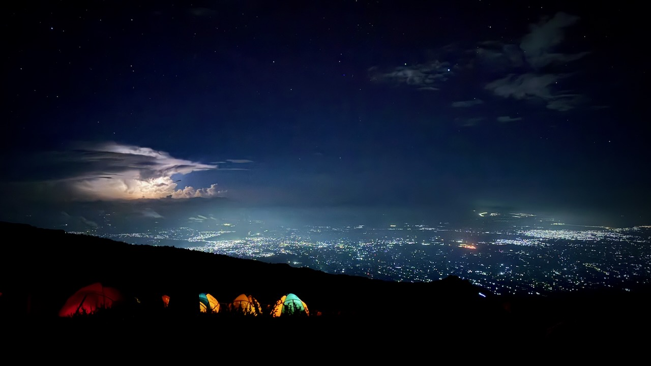
Oddly, all 7 days we had the same weather. Some sort of micro-climate.
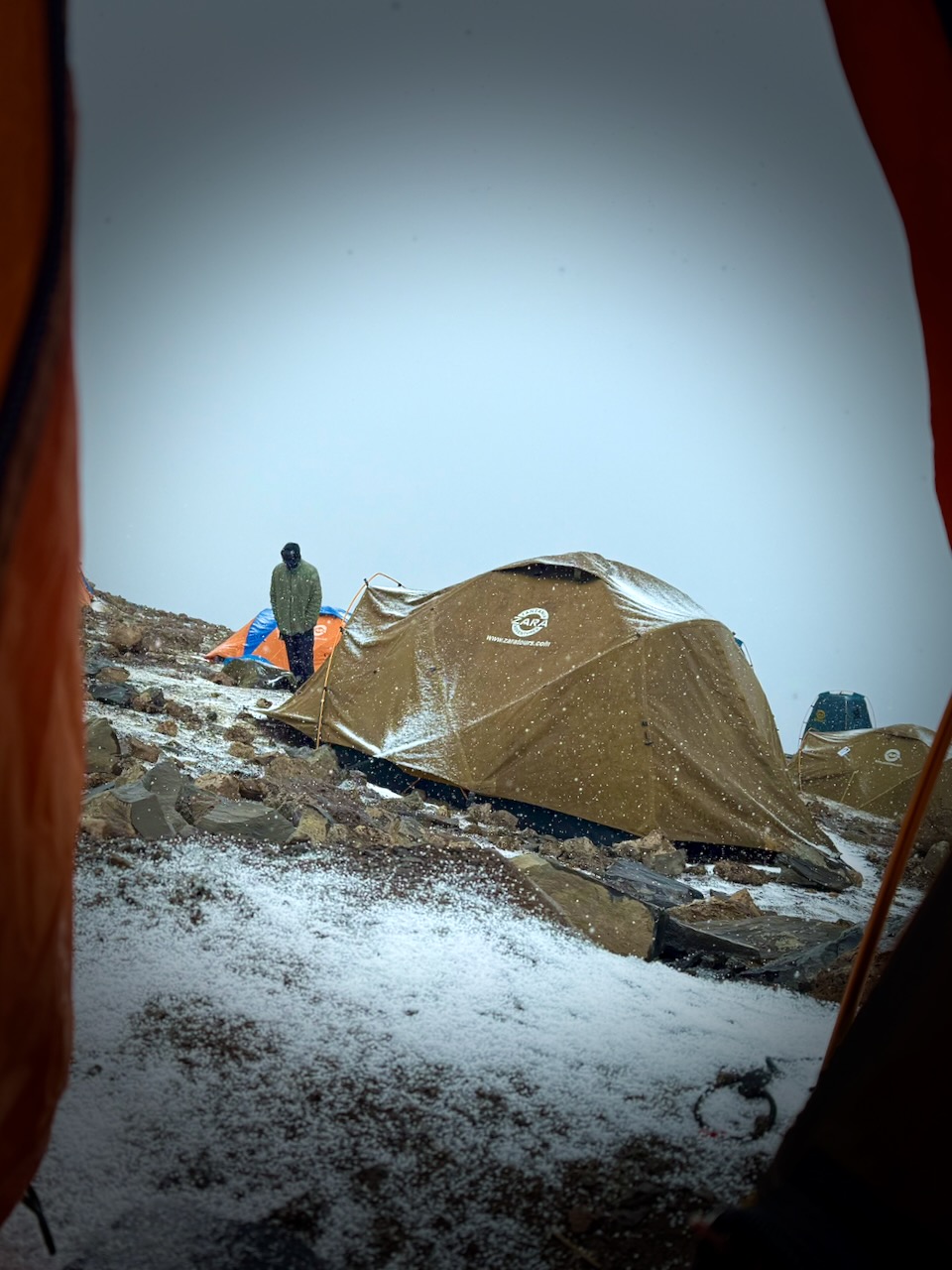
Morning clear. Sunny to start the hiking day. Snow, sleet, and hail in the early afternoon. Clearing by dinner time. Clear skies at night. Kili summit clear at dawn.
We added and removed layers non-stop during the day.
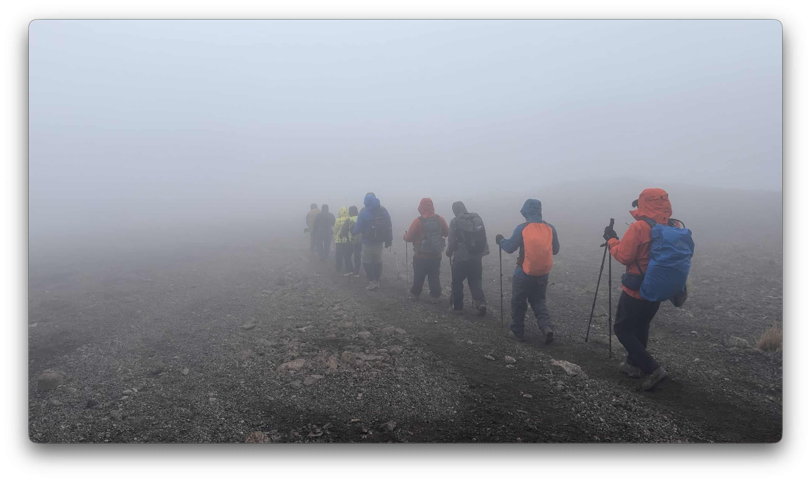
Each day we spent some time hiking through clouds.
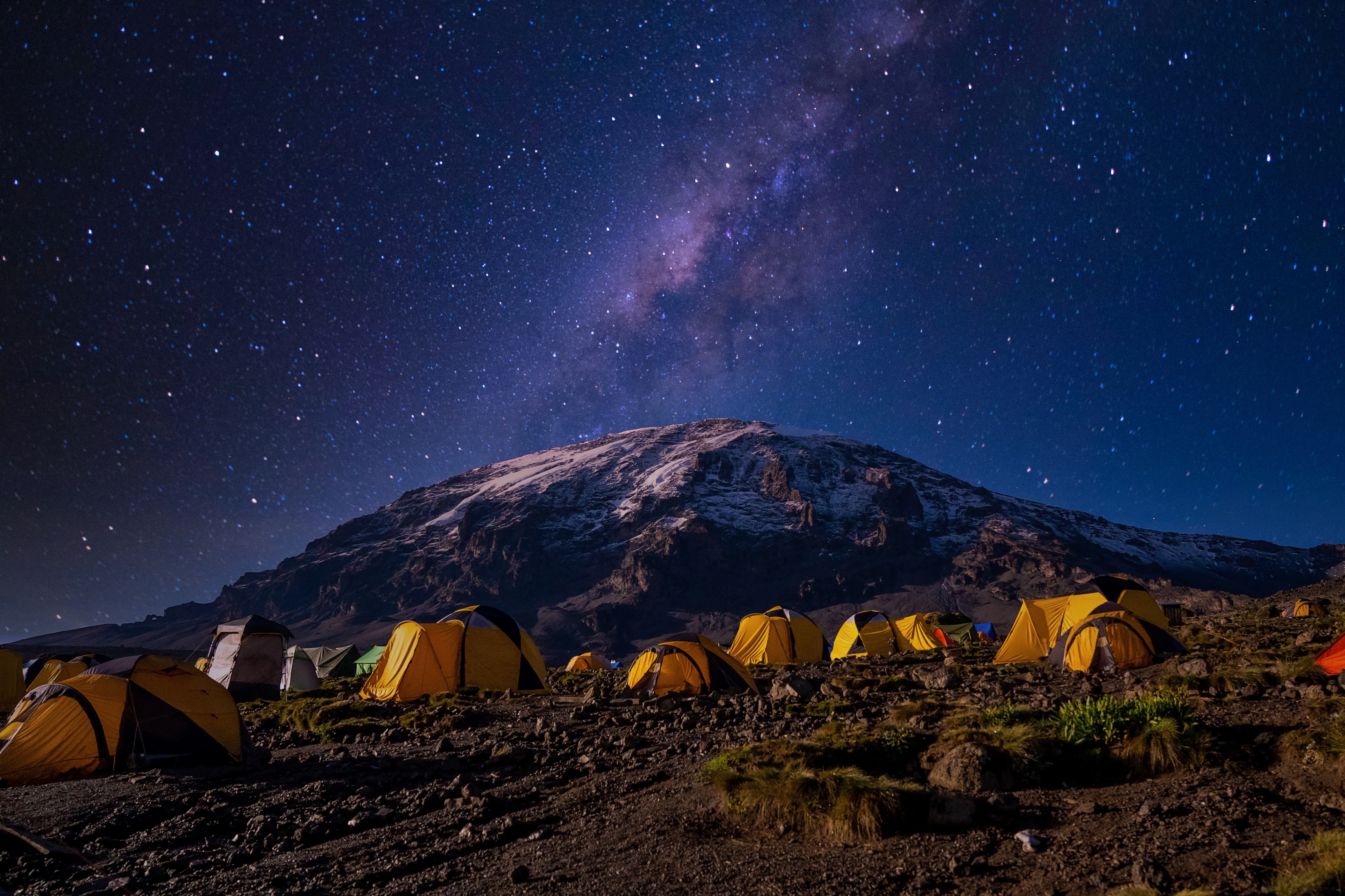
We mostly had clear skies at night. The iPhone 16 Pro is terrific at night photography on a tripod.
I’d paid a little extra to have a tent to myself. It was fairly comfortable — though many of our tent sites were far from level. 😀
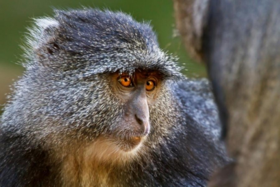
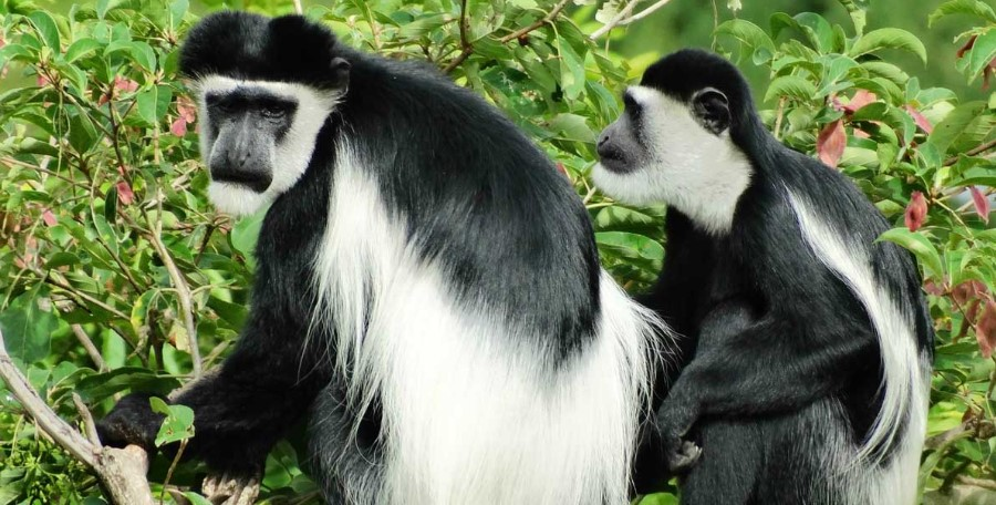
We were happy to see two kinds of monkeys. But both were at lower slopes, close to the start and finishing gates.
Blue Monkey.Black-and-white Colobus.
Baboons and velvet monkeys have been spotted, but rarely.
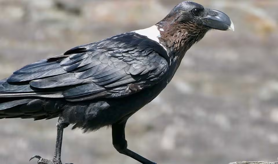
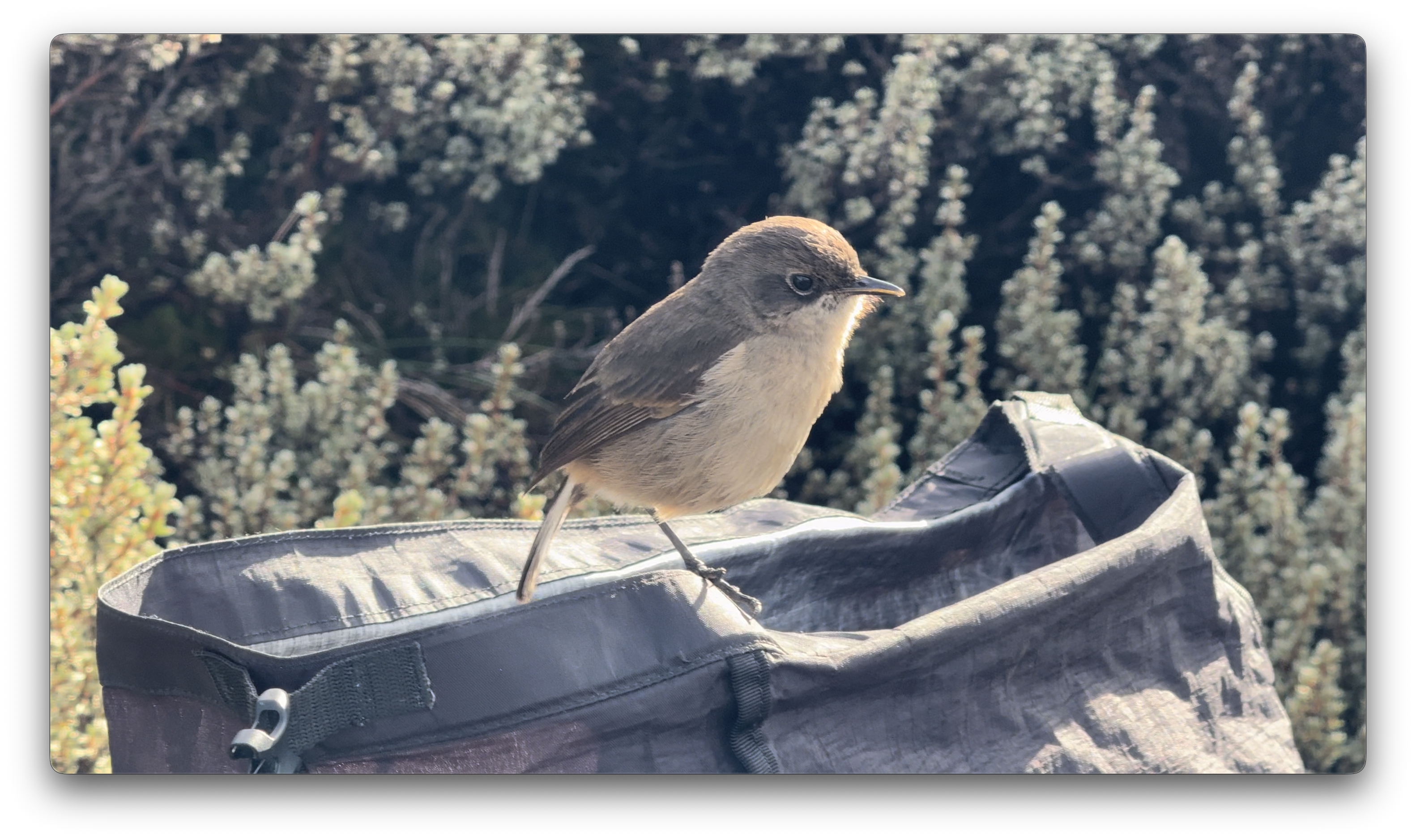
This bird took a dump in my backpack. 😀
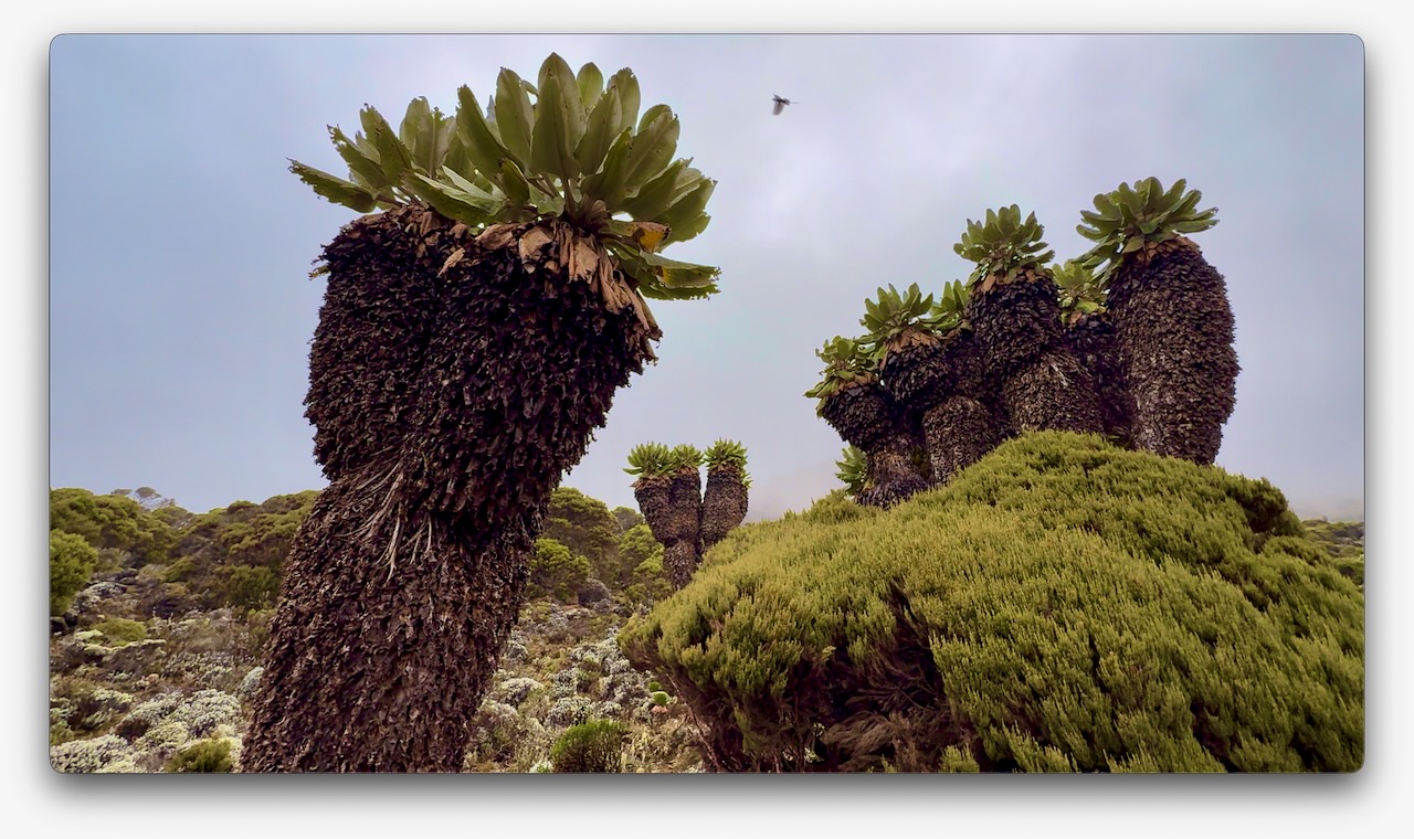
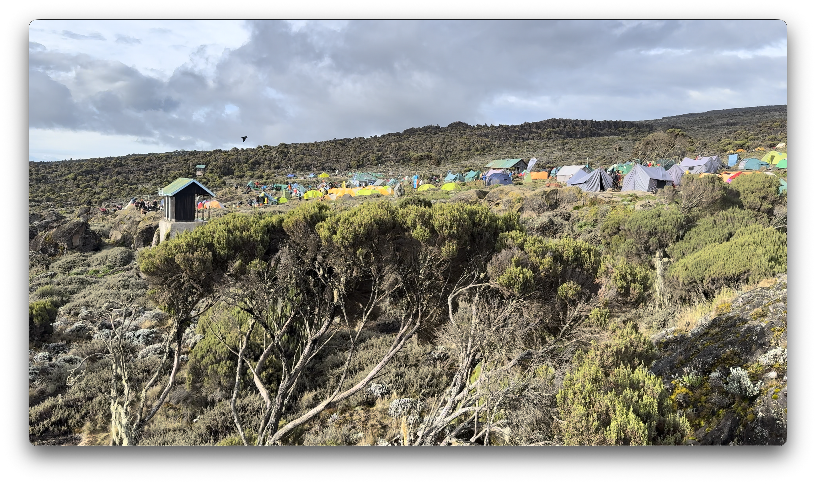
Vegetation was much more interesting as we climbed through so many different ecological zones.
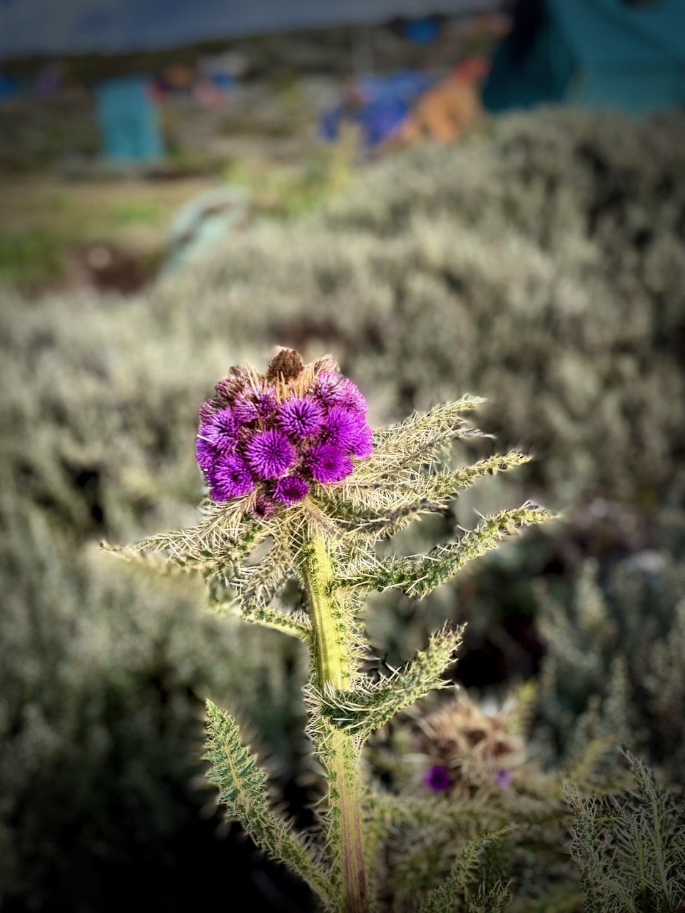
I do love thistles.
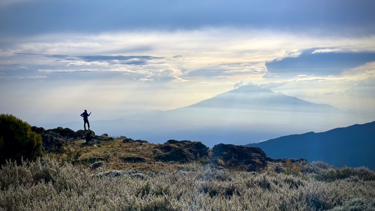
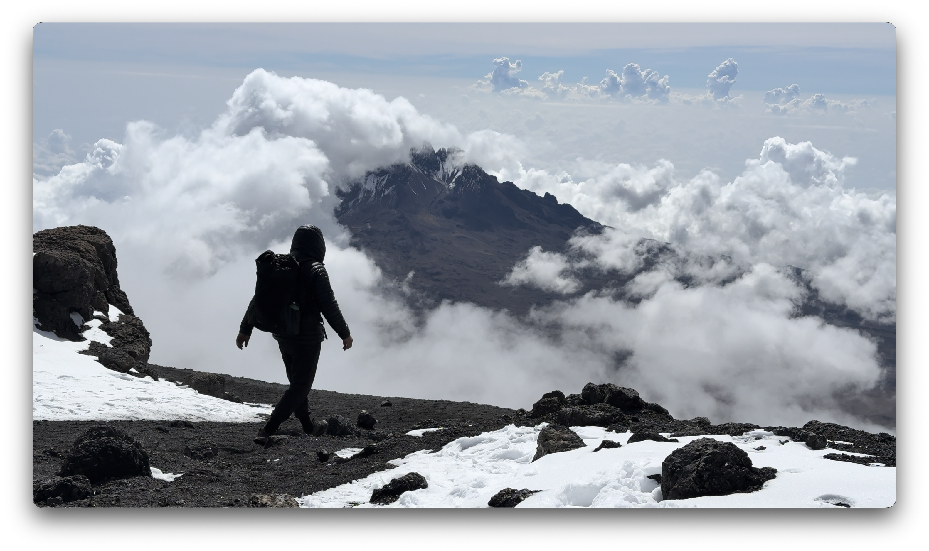
We had great views over to nearby Meru volcano. When you see hikers posed like this, you know they are searching for line-of-sight mobile phone reception. 😀
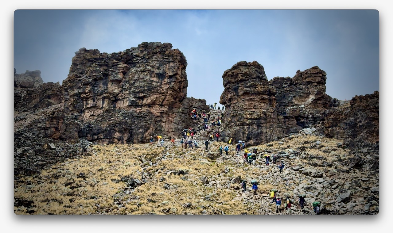
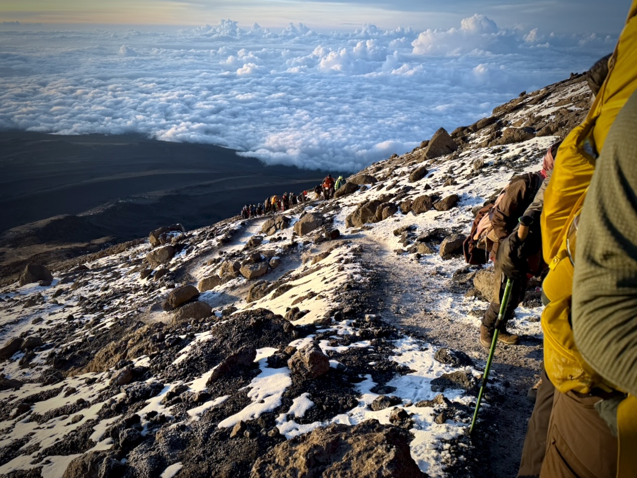
The Machame Route was crowded when I was there. We often had long lines of hikers & porters.
Camps are crowded and littered.
Personally, I felt the portable toilets provided weren’t great. I preferred squatting over a hole in the concrete in the permanent toilet buildings.
Hygiene is not top of mind for any of the guiding companies. In particular, I was surprised alcohol gel was not constantly provided.
That said, nobody in my group got sick from water or food.
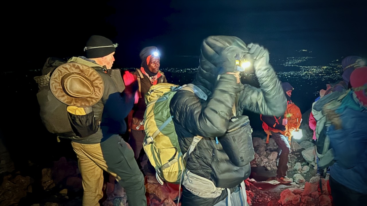
CRUX of Kilimanjaro is summit night. One of the toughest hiking days any of us could recall. I felt perfect. No pain. No problems … when starting.
Wake at midnight. Hot drinks 12:30pm. Start up at 1am.
It was a slow, cold trudge until dawn.
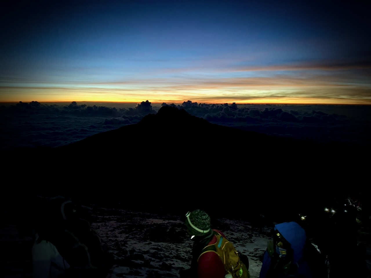
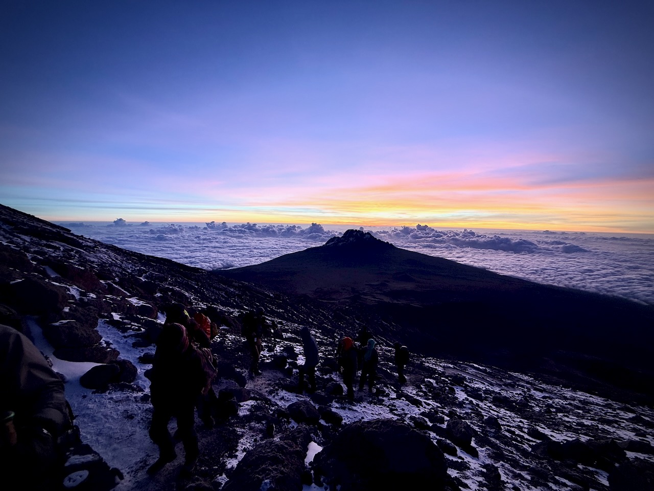
We had an ideal view of the changing light.
Way above the clouds.
We finally reached the first summit peak. And on perhaps another 35 minutes to the highest peak.
I took a LOT of photos and video up there. Most impressive were the odd, receding glaciers.
That was the FUN part.
Guides hustled us down as quickly as possible to avoid altitude sickness. We climbed down 8000 feet, not getting into low camp until 6pm or so. I ascended & descended for 16 hours, grabbing 1 hour sleep around noon.
Sore knees. Sore toes. And cramping quads.
Highlight?
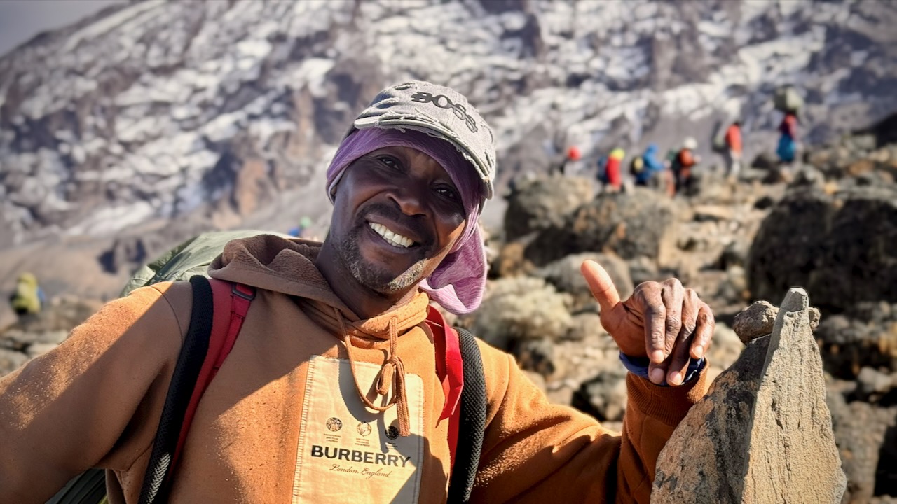
Most would agree that the porters, guides, and staff were the most impressive takeaway from this adventure. We probably had over 100 staff taking care of us over the week. And these folks will do positively anything you request.
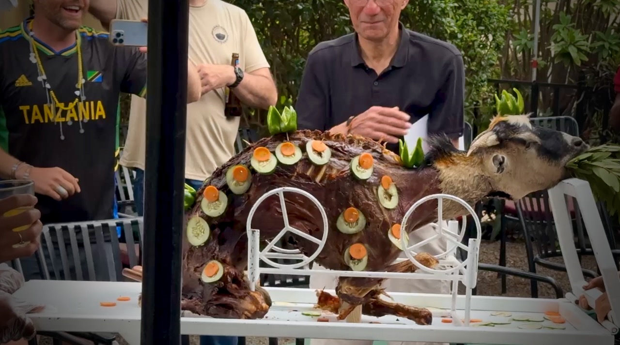
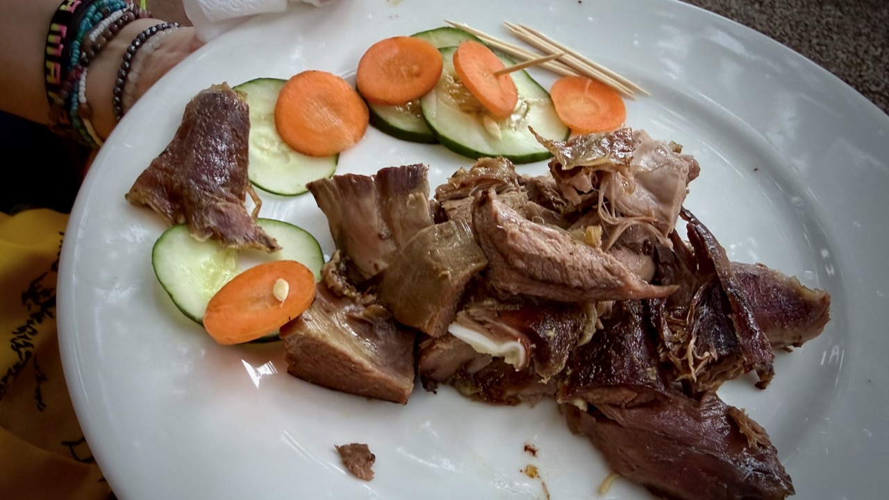
Back at the hotel, we celebrated with alcohol and devoured a full roast goat. Delicious.
A hiker died on Kilimanjaro while I was there. Reported heart attack.
On December 24, 2025, a rescue helicopter crashed, killing all 5 people on board. Two were hikers being evacuated.
10–20 deaths annually out of 30,000+ climbers.
I wrongly thought Kilimanjaro would be easy for me. It wasn’t.






 besthike.com