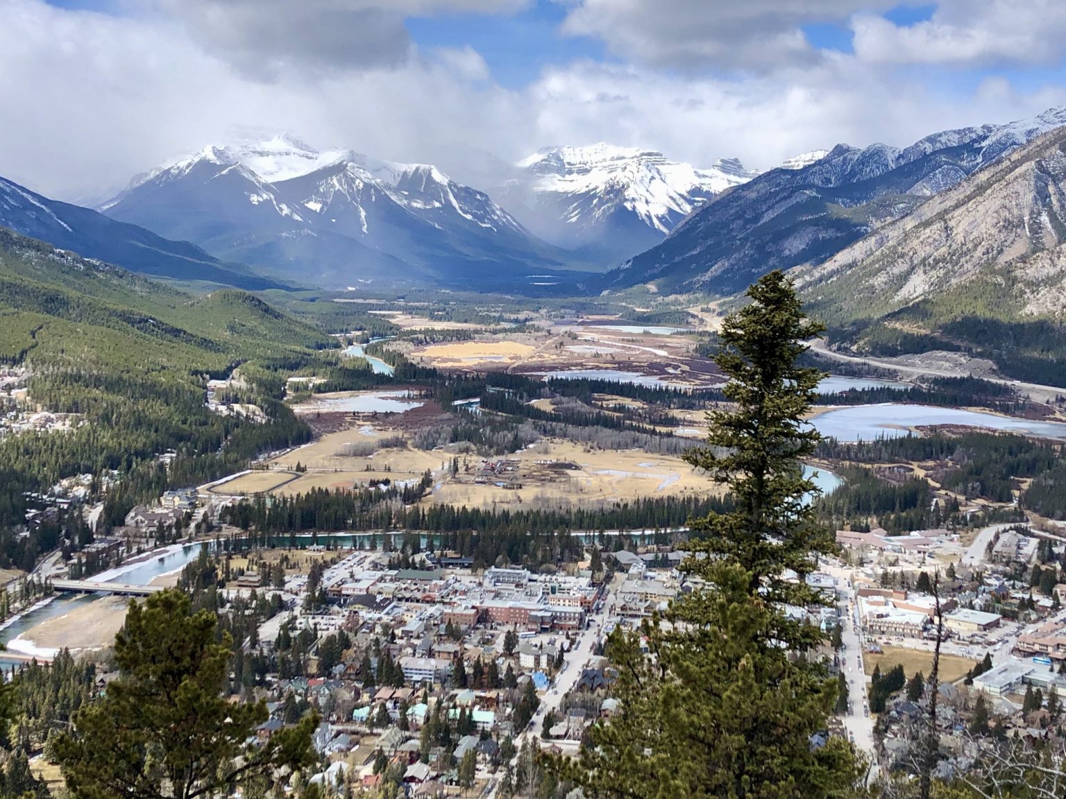
I downloaded this book because it was set in Yellowstone National Park.
The plot is dumb, I thought. But the location kept me going.
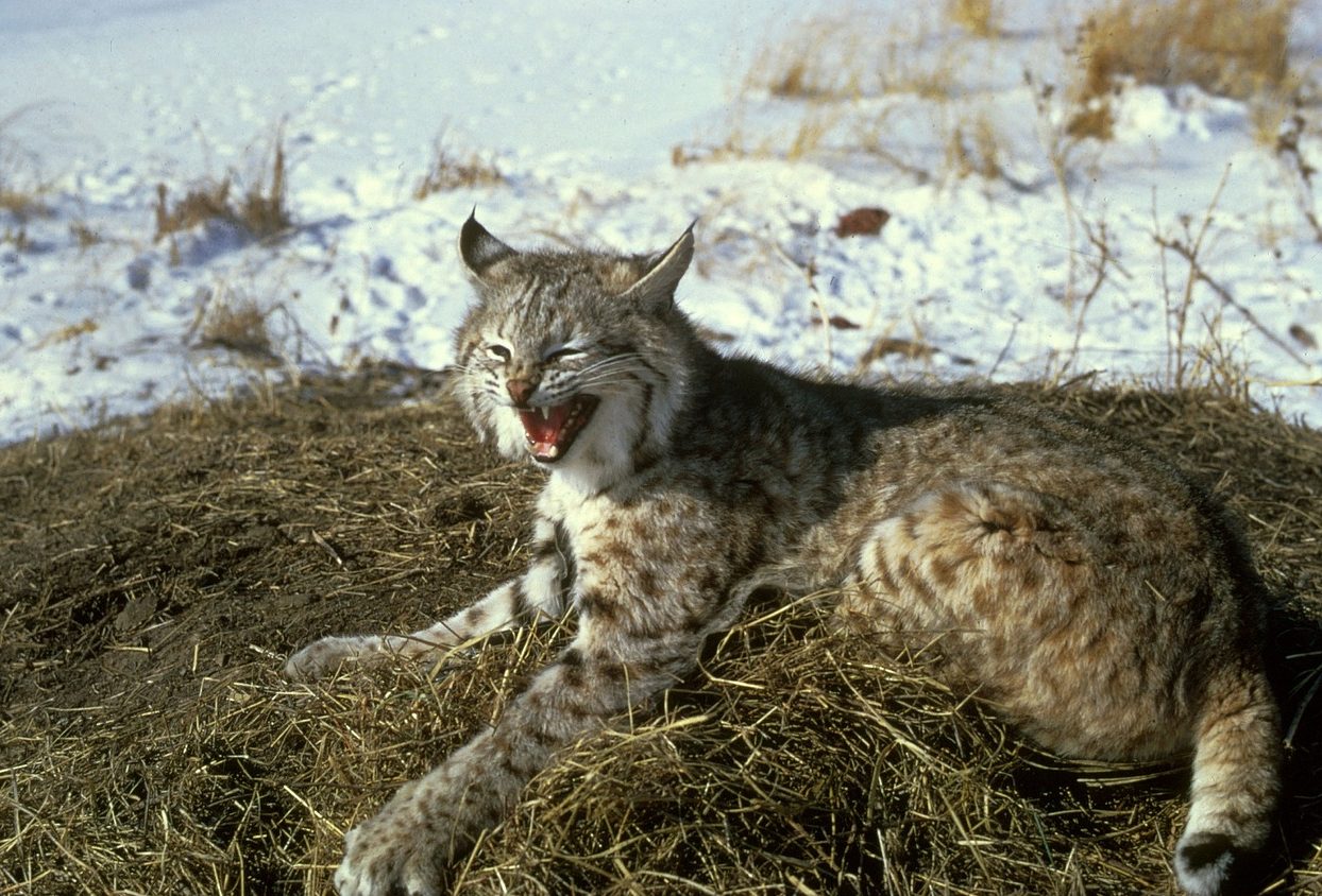
The Yellowstone Caldera supervolcano supereruption possibility is one thread of the story.
Joe Pickett’s been hired to investigate one of the most cold-blooded mass killings in Wyoming history.
Attorney Clay McCann admitted to slaughtering four campers in a back-country corner of Yellowstone National Park—a “free-fire” zone with no residents or jurisdiction.
In this remote fifty-square-mile stretch a man can literally get away with murder. Now McCann’s a free man, and Pickett’s about to discover his motive—one buried in Yellowstone’s rugged terrain, and as dangerous as the man who wants to keep it hidden.
CJBox.net