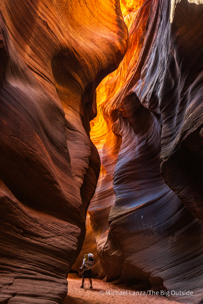
Widely considered the best slot canyon hike in the world!
Michael Lanza wrote-up a terrific trip report:
Before long, the walls stand barely more than shoulder-width apart and perhaps a hundred feet tall and the light at the bottom of this slot canyon grows dim.
We downclimb a sturdy wooden ladder installed for getting over a pour-off that drops several feet.
Little or no direct sunlight reaches us now, only the reflected light hitting the tops of these walls and seeping downward. In rare places where the twisting canyon aligns with the sun, the sudden direct sunlight feels intensely hot, especially in contrast to the pleasant coolness of the deep shade filling most of this slot.
A UNESCO World Heritage site, one of the great tourist destinations of the world, most everyone likes the quaint mountain town, Banff, in the Canadian Rockies. Growth is strictly limited by National Park regulations.
… at 1,463 m (4,800 ft), it is the town with the second highest elevation in Canada, the highest being Lake Louise.
It is surrounded by mountains, notably Mount Rundle, Sulphur Mountain, Mount Norquay, and Cascade Mountain; and situated above Bow Falls near the junction of the Bow and Spray Rivers. Banff is located 126 km (78 mi) west of Calgary and 58 km (36 mi) east of Lake Louise …
…. It is a major destination for outdoor sports and features extensive hiking, biking, scrambling and skiing areas within the region. …
Canmore is a smaller town (pop. 12,000) just outside the park, a great alternative to touristy Banff. Alpine Club of Canada headquarters are located in Canmore. Many experienced hikers prefer it as a home base.
Two of our top 10 hikes in the world can be reached from here:
Lake O’Hara, for example, is the prettiest mountain hiking in the Rockies.
Plan for July to mid-September in the northern Rockies. Banff is a great town, but the hiking season is short. Blizzards are not uncommon in September. We often suggest Aug. 1st as a good start date for a walking holiday here. Disclosure: besthike is based out of Calgary. Banff is our backyard playground. You could certainly accuse us of bias. 😀
BestHike editor Rick McCharles spends a week or so each Spring hiking and skiing. The trails are near empty — though you might want to wear spiked shoes.
I’ve mostly been very lucky with the weather over 4 months in S.E. Asia and Taiwan.
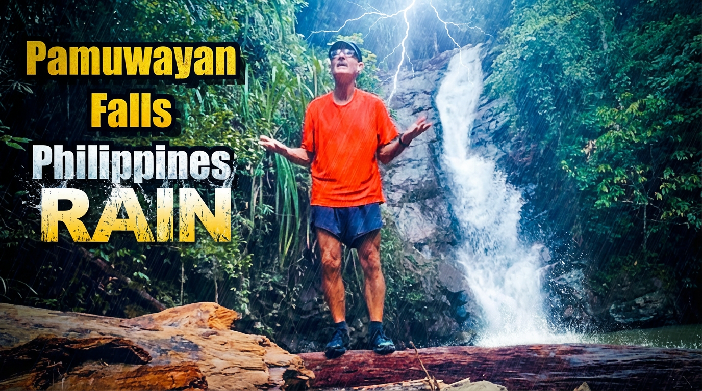
BUT it’s rained every day since I got to Palawan island.
A.I. enhanced photo. No actual lightning at the waterfall.
They have frequent earthquakes, cyclones, and volcanic eruptions here. Who knew? 😀
The dry season in the Philippines generally runs from December to May.
But 2025 has been wetter than normal. I spoke with one tour guide with a group of Romanian tourists who’s had to change plans most days for the past 2 weeks.
Many tours, especially those by boat, are cancelled by government order.
I started a day hike to Pamuayan Falls out of Port Barton in good weather. The rain pounded down for perhaps 20 minutes. Then cleared up again.
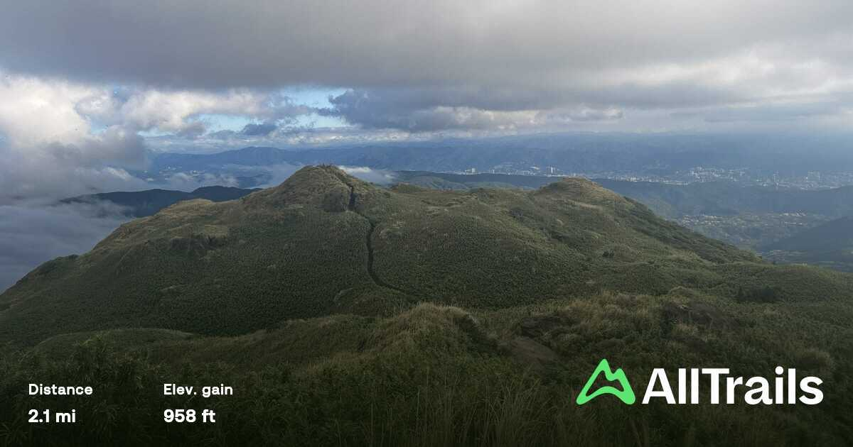
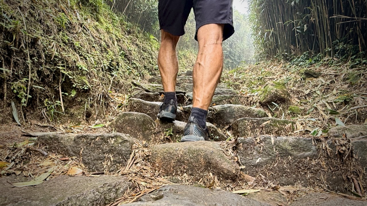
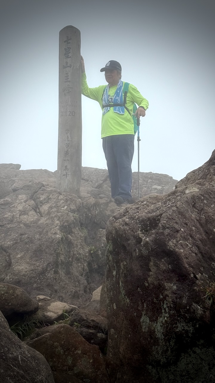
All trails are well-maintained with stone steps and converge at the windswept main peak.
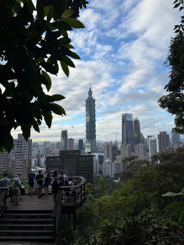
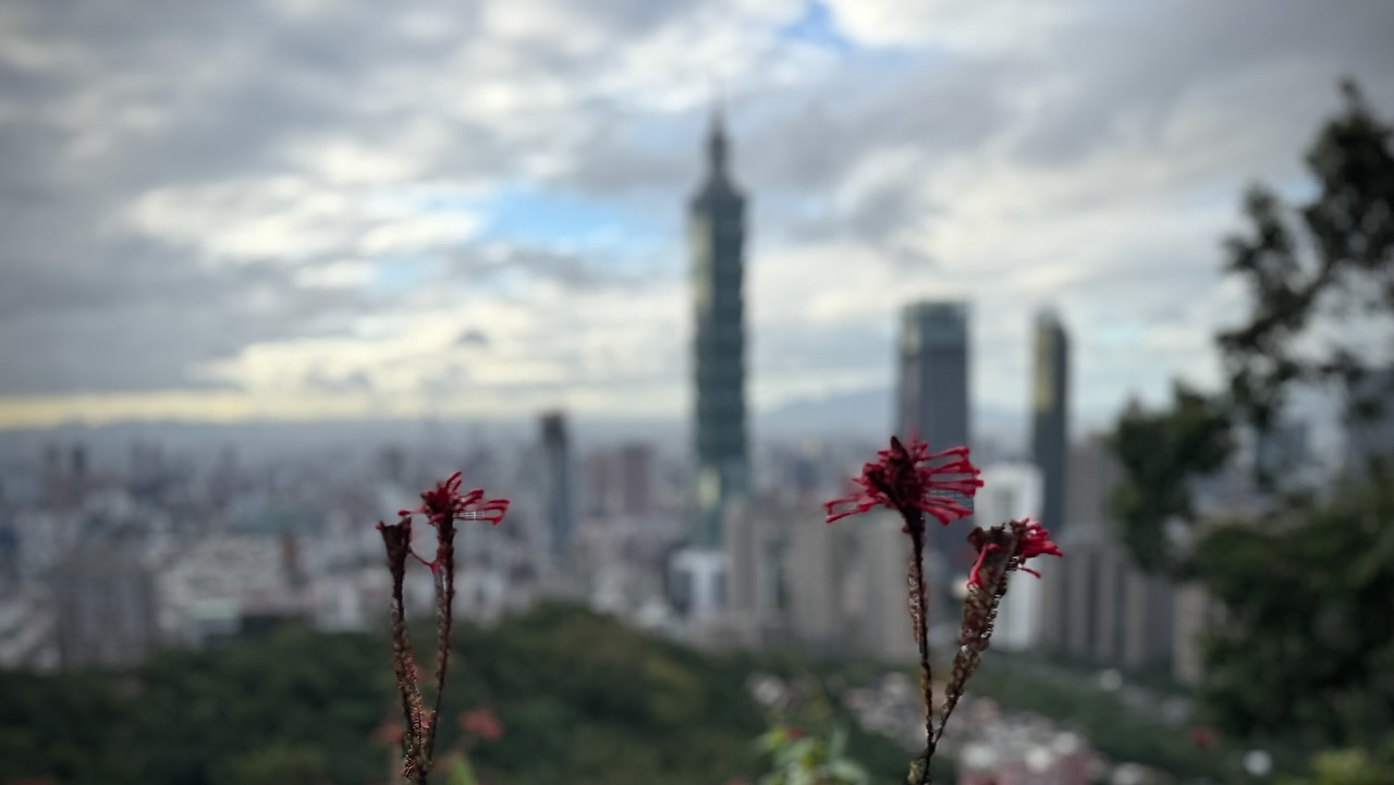
The summit is the ultimate reward, offering a magnificent 360-degree panorama of the entire national park, the Taipei cityscape, and the northern coast on clear days.
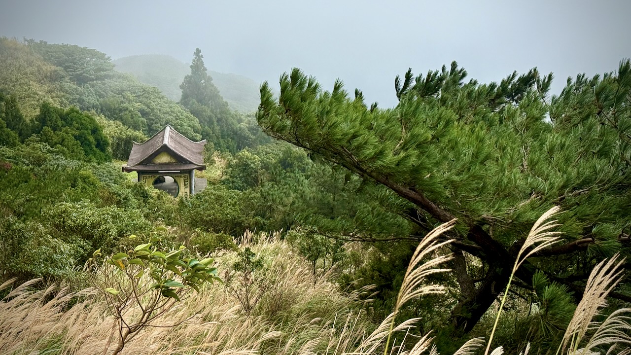
The national park is known for its cherry blossoms, hot springs, sulfur deposits, fumaroles, venomous snakes, and hiking trails, including Taiwan’s tallest dormant volcano, Qixing (Seven Star) Mountain rising to 1,120 m (3,675 ft).
There are several Visitors Centres, each very helpful in helping you decide on hikes ➙ starting and finishing. Public transportation is super crowded here.
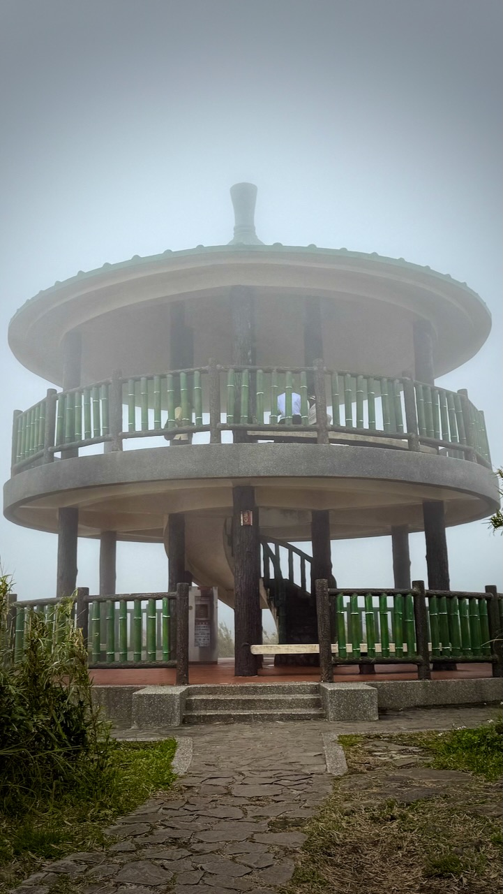
As you can see, clouds covered the peak when I was there. Not unusual.
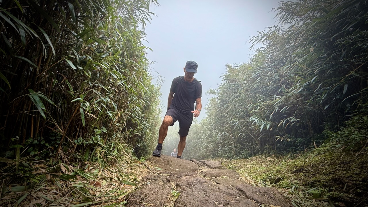
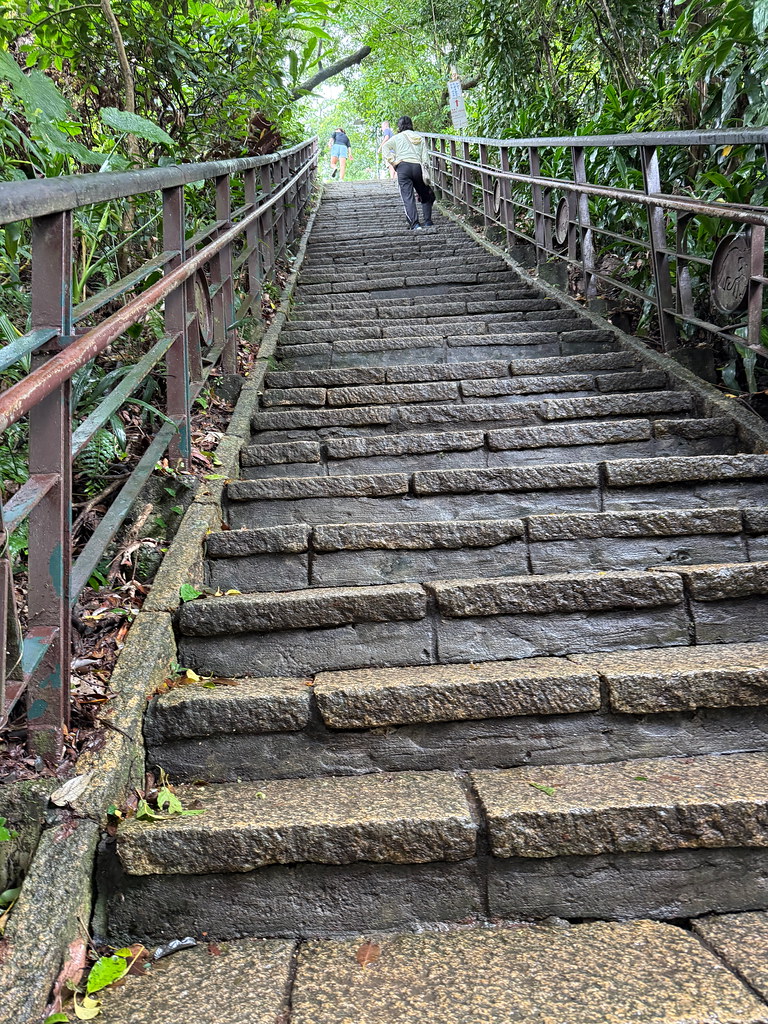
Stone steps keep you out of the mud in most cases. But they are irregular shapes and sizes.
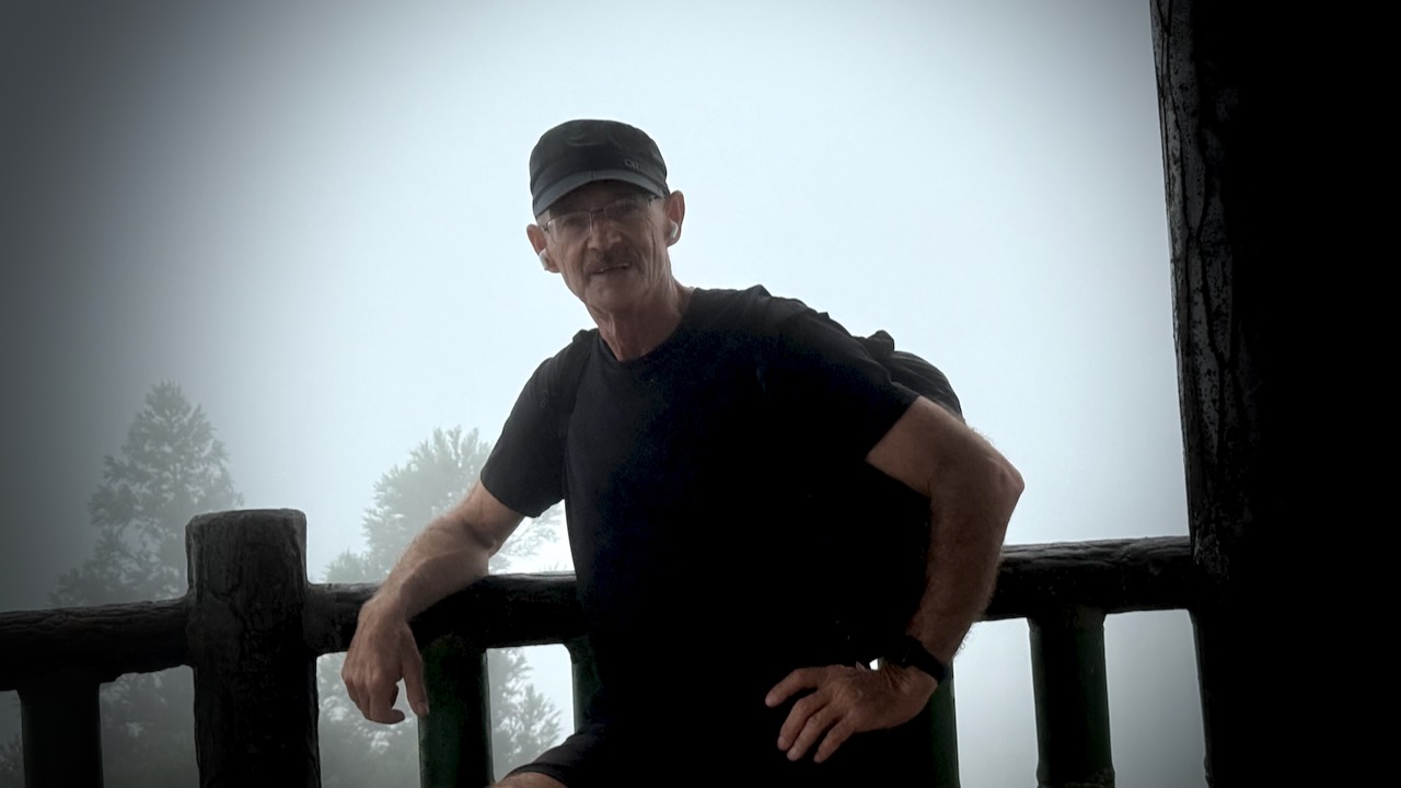
The summit is often crowded. I didn’t linger long.
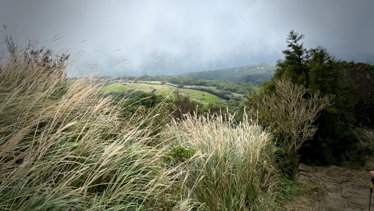
Actually, I enjoyed the clouds blowing in and out, sometimes revealing the vista below.
It can get windy up here, of course
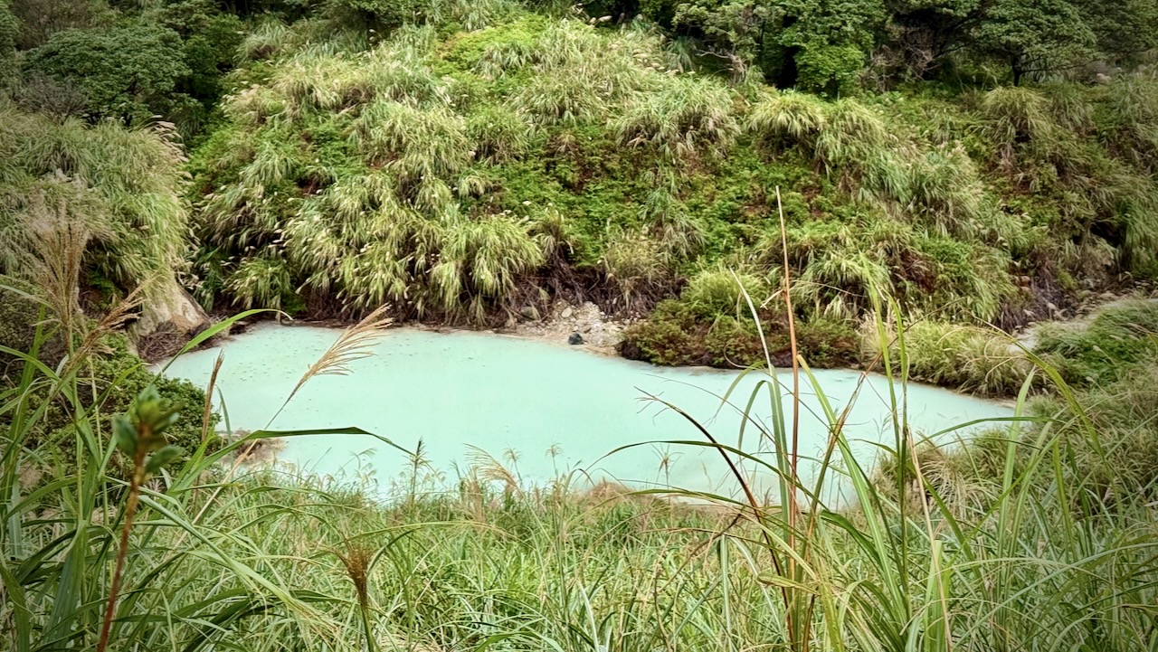
Volcanic sediments in this pond give it a milky appearance.
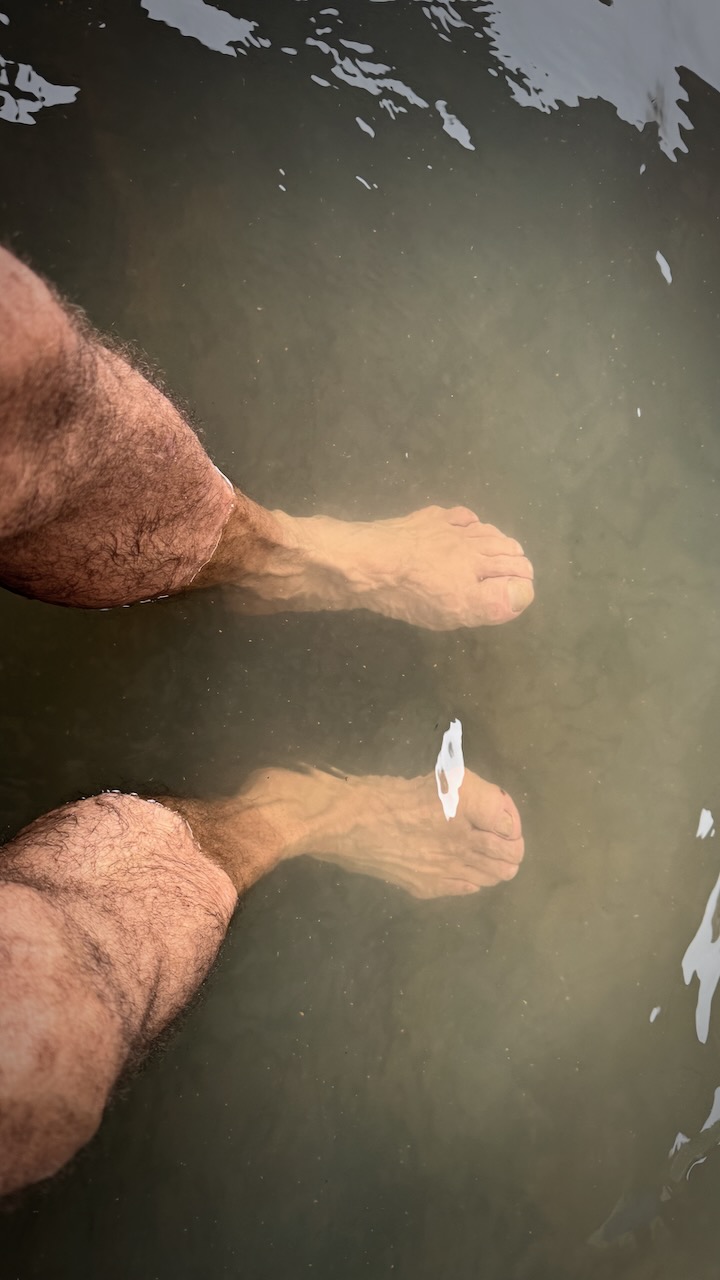
I finished near Lengshuikeng Hot Springs and would love to have finished with a soak. But these Springs have unusual opening hours. Locked when I was there. AND I was worried about getting back to Taipei on the busy tourist buses.
So I simply soaked my feet in the outdoor pothole.
All-in-all, it’s well worth getting out to Yangmingshan National Park if you are ever in Taipei.
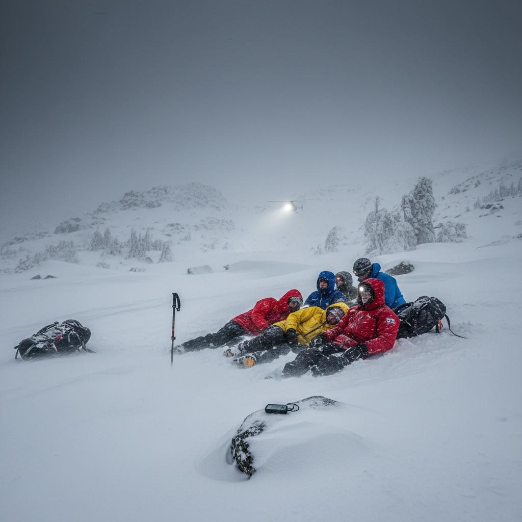
Cristina Calvillo Tovar, 37, and Julian Garcia Pimentel, 36 — Nadine Lichey, 45, and Andreas von Pein, 52 — and Victoria Bond, 40.
Could these deaths have been avoided?
… On November 16, the weather was mild, and the usual number of hikers, 40 or 50, crossed the pass without incident. By that evening, those who would suffer the worst of the storm had converged at Los Perros campsite, the last sheltered refuge before the exposed John Garner Pass. …
On November 17 between 5 to 7 am, about 30 hikers left Los Perros for John Garner Pass.
Conditions started drizzly, but deteriorated rapidly after 10 am. Winds reached 193kph, and visibility dropped to less than three meters. The temperature fell to −5 °C, but the wind chill was far below -20°C. …
Those who turned back barely made it down safely. …
A distress post appeared on the Torres del Paine Facebook group around 2 to 3 pm. Initial response by CONAF was slow, and bad weather grounded the helicopters. …
Twenty-seven hikers required medical attention, according to the final tally released by the Regional Government of Magallanes on November 20. …
Many tourists visiting Taipei, Taiwan climb short, steep Elephant Mountain to get a great view of the city, including landmark Taipei 101 — a building 101 stories high.
1.1 km
141m elevation gain on well maintained stone steps
normally very crowded at all hours of the day and evening
Best is to climb up one trail, descend on another. There are many options. So many, in fact, that the signage gets confusing. Use a phone app like AllTrails.
I climbed Elephant mountain twice while in Taipei. It’s easy access from a subway station.
El Camino de Costa Rica is a breathtaking 280 km / 174 mile hike from the Atlantic to the Pacific Ocean, which is no easy feat even for the most experienced hikers.
While it can be intimidating to take on this type of adventure, there are so many incredible things to see and do while trekking this route, from tropical beaches and dense trails to mountain villages and indigenous communities.
Planning a multi-day adventure in Death Valley? While the desert terrain may look intriguing, it requires serious preparation to spend an extended amount of time here. No matter where you hike – but especially in a place as extreme as Death Valley – your gear and equipment can make the difference between a thrilling trip and a more unpleasant ordeal.
To help you make the most of your trip, here are the essential items you’ll want to pack.
Water, food and cooking items
It goes without saying that the park can get extremely hot – summer temperatures often reach around 120 degrees Fahrenheit. Death Valley is called Death Valley for a reason, and you don’t want to be stuck without water in this vast expanse of desert terrain. Therefore, make sure you have an ample supply – it’s recommended that you plan for several litres per day.
Likewise, food is a necessity, and you’ll need to make sure you’re consuming nutritious meals to sustain your energy. Pack high-protein snacks, meals, and equipment to cook or prepare them if needed. It’s also a good idea to include waste bags and utensils if you plan to cook.
Shelter supplies
A multi-day hike means finding somewhere to stay overnight. A specialised tent or other shelter is essential, and it should both keep you cool during the heat of the day and warm at night – despite what you may think, the desert can get very cold when the sun goes down. Make sure you also have a good quality sleeping bag and sleeping pad.
This Original Travel guideshares some of the park’s best campgrounds, with entrance fees included so you can budget for your trip. While straying off the beaten path may feel like an adventure, it’s best to stick to designated campgrounds for your personal safety – and to protect the landscape around you.
Climate-appropriate clothing
It can be tricky to plan outfits that are both cool enough for the daytime and warm enough for nighttime – as well as being comfortable and appropriate for hiking. In addition to everyday clothing items, it’s a good idea to bring layers and accessories such as:
Wicking base layer and insulating mid layer
Outer shell/wind jacket
Broken-in, comfortable hiking shoes and socks
A wide-brimmed hat and a beanie
High-quality sunglasses with full UV protection
Don’t forget a good backpack that can carry everything you need. It should be durable and waterproof, to keep your belongings safe no matter the weather.
Navigation and emergency gear
While it’s unlikely that you’ll find yourself in an emergency situation, it’s always best to be prepared for the unexpected. Particularly in a place as harsh as Death Valley, where you may find yourself miles away from help should you need it, it’s important to have the essentials to hand.
Bring a map and a compass, and consider a GPS device – it can be easy to get lost, particularly on backcountry routes which can be remote and tricky to navigate. You should also always carry a first aid kit, a torch with batteries, and basic repair tools. Above all else, always let somebody you trust know where you are – even if that just means sharing a general plan before you leave and keeping in touch each day.
Once you’ve got the basics taken care of, all that’s left is to plan your route and enjoy the park. If in doubt, always pack extra and stick to established routes – there’s so many stunning sights to see, and you don’t have to venture off into the unknown to have a wonderful time.