A better list than I expected to get from Artificial Intelligence:
Tour du Mont Blanc: This hike takes you through France, Italy, and Switzerland, and offers stunning views of the Alps 16.
West Coast Trail: Located in Canada, this hike takes you through rugged terrain and offers views of the Pacific Ocean 16.
Laugavegur Trail: This hike in Iceland takes you through a variety of landscapes, including glaciers, hot springs, and volcanic terrain 1.
Greater Patagonian Trail: This hike in Chile and Argentina offers views of glaciers, mountains, and forests 2.
Tongariro Alpine Crossing: This hike in New Zealand is considered by some to be the best single-day hike in the world, and offers views of volcanic terrain and stunning landscapes 3.
Kjeragbolten: This hike in Norway takes you to a boulder wedged between two cliffs, offering incredible views of the fjords below 3.
The Great Ocean Walk: This hike in Australia offers views of the Southern Ocean and the Twelve Apostles limestone stacks 5.
GR 20: This hike in Corsica is considered one of the toughest in Europe, but offers stunning views of the island’s rugged terrain 6.
Banff Highline Traverse: This hike in Canada offers views of glaciers, mountains, and alpine lakes 6.
Rakiura Track: This hike in New Zealand takes you through forests and along beaches, and offers views of wildlife such as kiwis and penguins 2.
A mixed assortment, of course. It’s difficult to compare an easy day hike like the Kjeragbolten to the Greater Patagonian Trail.
I’d call it water resistant, not submersible. It’s not a dry bag.
Not inexpensive (about $100), I bought the Freerain to replace my last Matador packable which I had used for hundreds of days of travel. Incredibly durable and useful.
It’s my second pack ➙ the one I use for a short day hike, picking up groceries, shopping, etc.
I don’t need any more frame or suspension for short day hikes. I typically push an extra layer down towards the lumbar portion of the bag — and that’s plenty of padding.
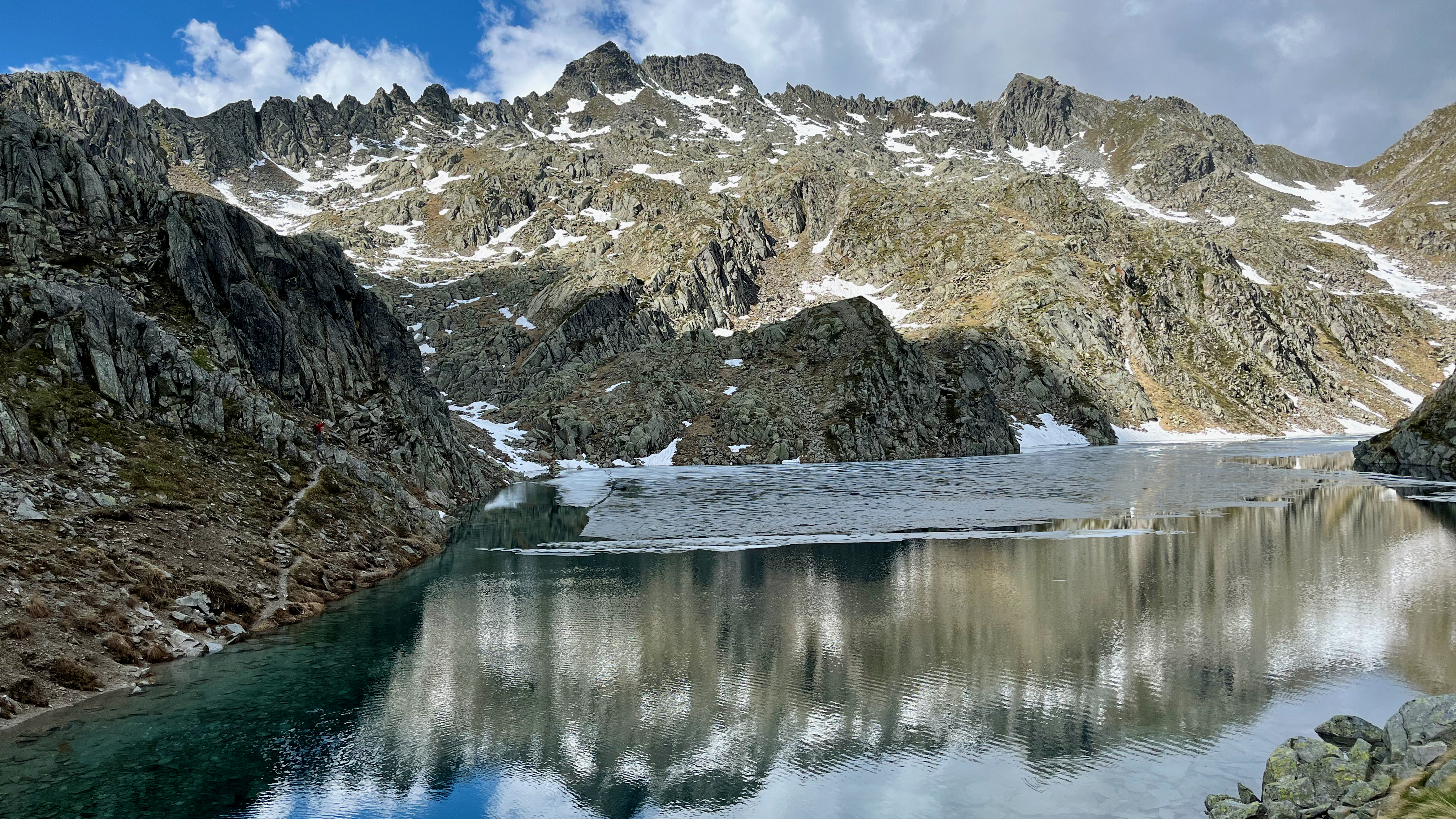
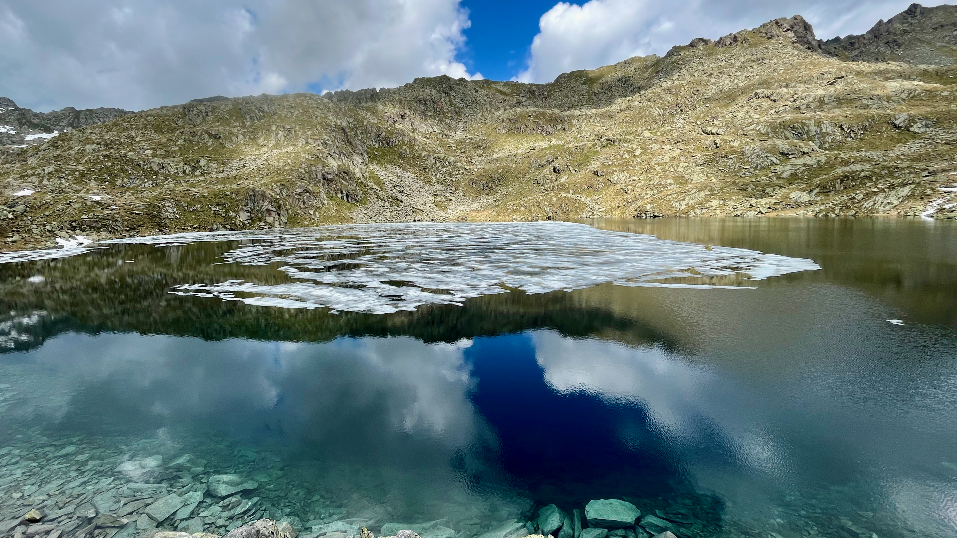
Mid-June 2023 I returned, wanting — this time — to do some of the famed via ferrata routes there.
Sadly, the cablecars going up high had not started yet. In fact, Madonna di Campiglio doesn’t really get going 100% for summer hiking until the end of June.
Instead, I did the most popular lower level day hike as it was the best available the one day I ended up staying.
November in frozen Canada makes me start dreaming of another hiking trip to Patagonia.
Best hike?
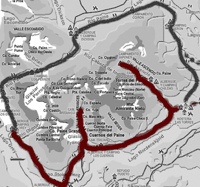
One of the best for sure is the Paine Circuit in Chile.
Some call it the “O” trek as contrasted with the shorter “W” trail.
When to Go
The best — and only — time to complete the O Circuit is in the Chilean summer, from late November to mid-March. …
The O Trek is a 7-night route that covers roughly 80 miles with roughly 13,000 feet of elevation gain. …
Accommodations and Food
At every stop along the O Trek there are “refugios” — think mountain huts and small ski lodges with bathrooms and small markets attached. Each site has a base price for folks who plan to set up their own tent and cook their own meals. Enclosed cooking huts are provided.
From there, hikers can upgrade and rent pre-erected tents, domes, hostel beds, and more depending on each site. Sleeping bags can also be rented at refugio sites. …
Booking & Cost
Our total booking cost was $507 for two people and 7 nights of camping.
This cost did not include groceries and food, our park pass, or travel to, or accommodations in, Puerto Natales.
Booking in advance is highly recommended, especially if you want to camp.
Booking last minute is possible, but there may only be expensive lodging options (like a hostel bed) left. …