Scrambling Fossurin รญ Fossรก, Faroe Islands

Trip report by BestHike editor Rick McCharles

Fossurin รญ Fossรก is one of the highest waterfalls in the Faroe Islands. Super popular with tourists.

140 metres to the sea in two stages.

You can drive to the base easily.

I did the surprisingly difficult scramble up in-between the two falls. It was a rush.

Click PLAY or watch it on YouTube.

Mulafossur Waterfall, Gรกsadalur, Faroe Islands

One of the best โ€”ย and free โ€”ย highlights of the Faroe Islands is the tiny village of Gรกsadalur (13 inhabitants).

Tourists go to see the Mรบlafossur Waterfall โ€” but the village itself is also charming.

If you look long enough, you’ll probably see some puffins near here.

Before 2004, people needed to hike over a mountain shoulder to get there โ€” but after the Gรกsadalstunnilinย tunnel (1.4 km) was blasted โ€” it’s became possible to drive, cycle, or arrive by public bus.

I cycled. And it was a bit scary in that long tunnel.

On the way out I put my bike on a bus.

Click PLAY or watch it on YouTube.

related – hiking around Gรกsadalur, including the old Postman’s Trail


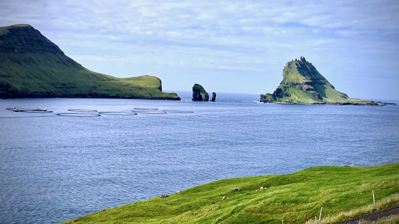
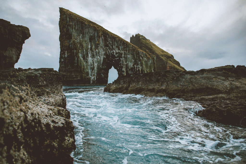
On the way to the waterfall, before the tunnel, you get great views of 2 sea stacks called Drangarnir โ€”ย Stรณri Drangur and Lรญtli Drangur.

Hiking to Leynar, Faroe Islands

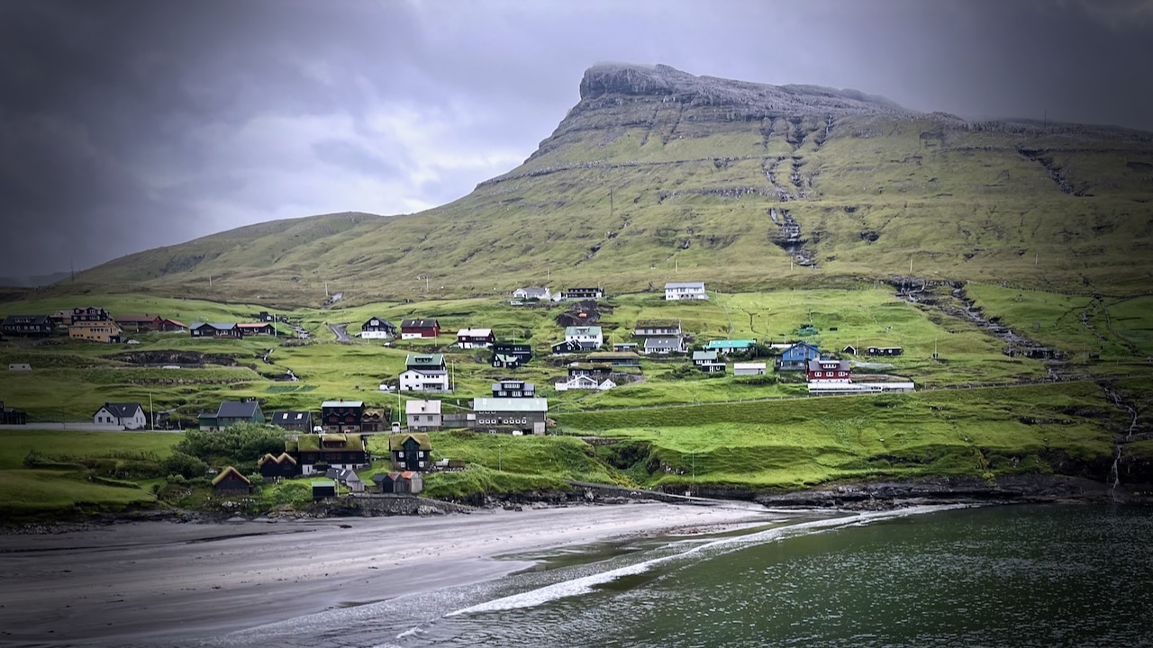
Leynarย (Danish:ย Lejnum) is just another scenic coast village in theย Faroe Islands. Population 116.

Click PLAY or get a glimpse of the hike on YouTube.

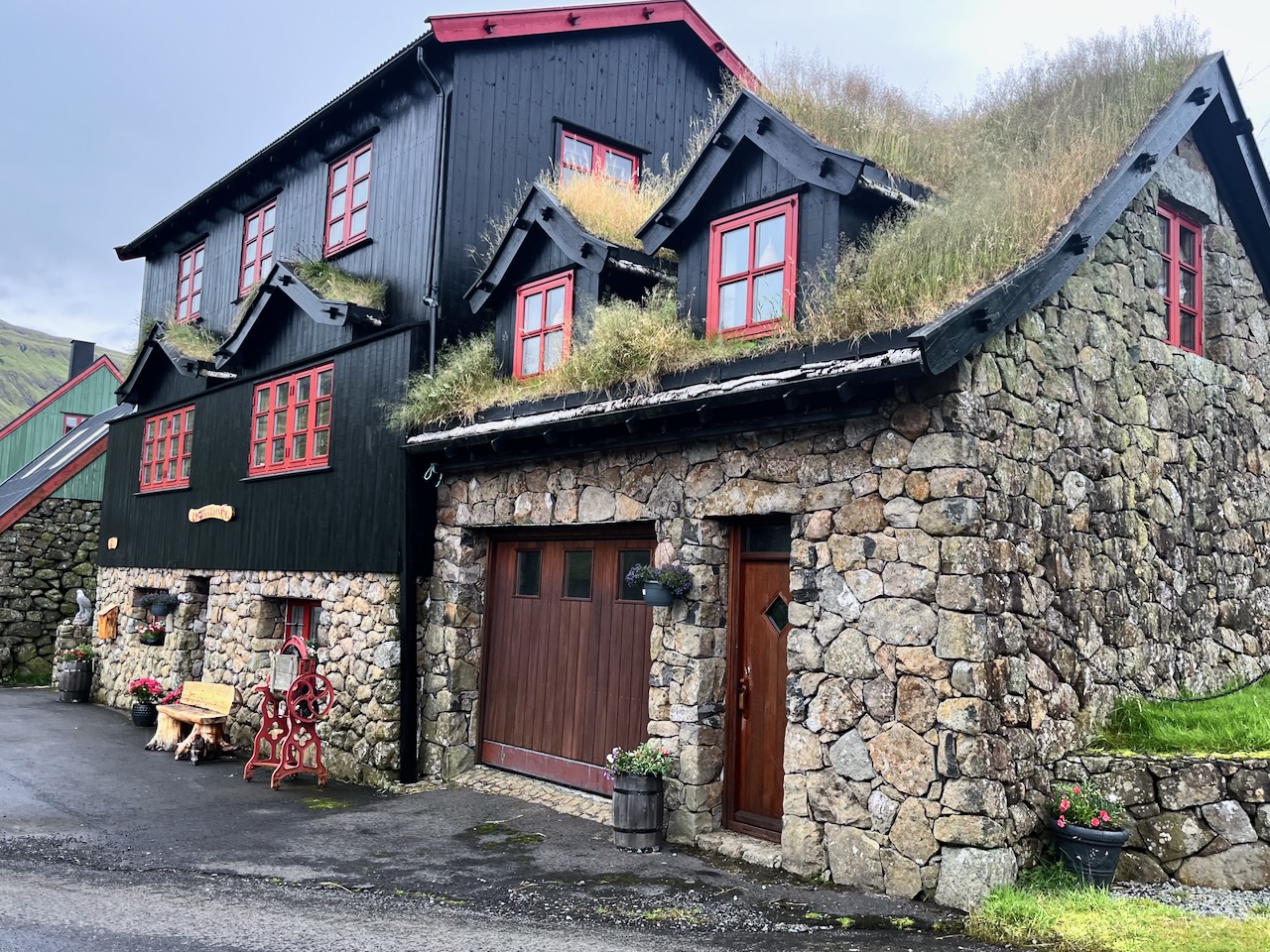
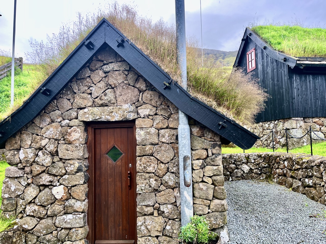
This was amongst the prettiest houses I saw on the islands.

I’d heard about a popular route for locals, crossing a mountain pass and finishing in Leynar. It’s not on any tourist guidebook I’ve seen, including AllTrails.

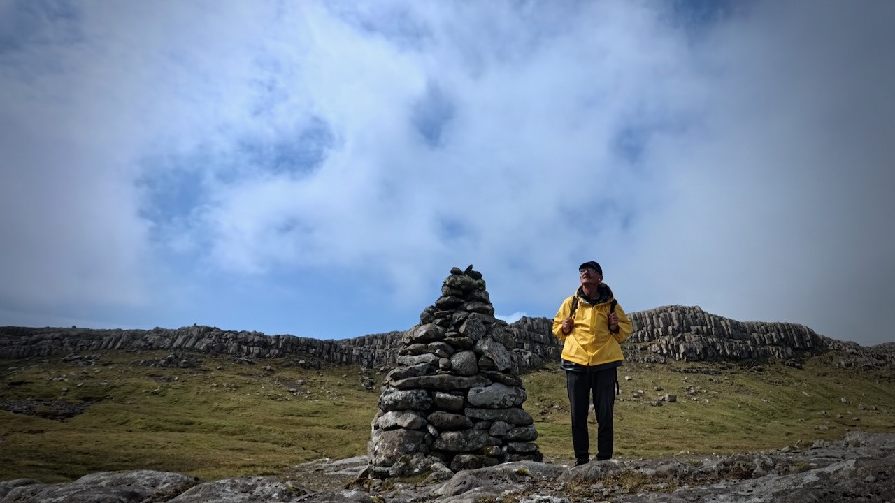
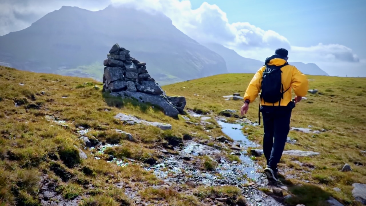
It’s not signed. Finding the trailhead on highway 50 was tricky. Look for a large stone cairn. It is somewhat marked on the Maps.me app.

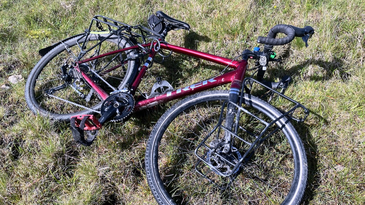
I left my bike in a depression and followed the cairns.

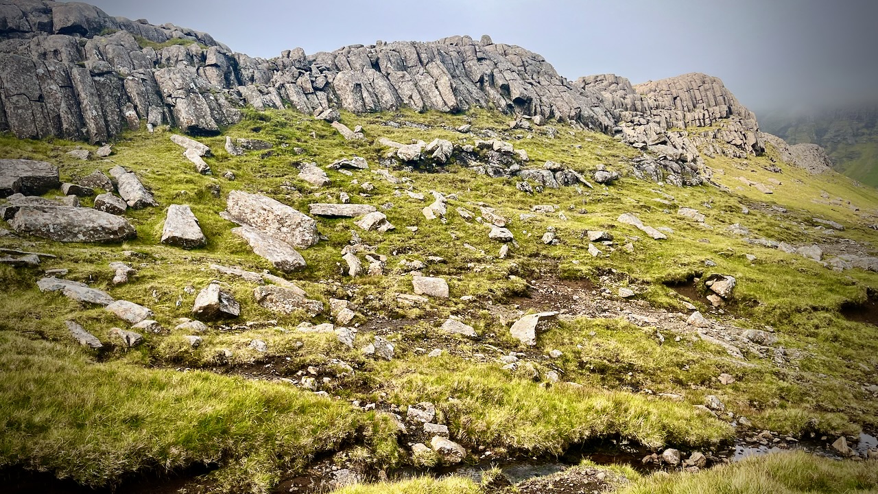
I had great weather and totally enjoyed a few hours on this wet trail.

I saw only 3 other hikes on a beautiful day, all Faroese. They’d come to see the basalt columns.

It’s marshy. Waterproof socks recommended.

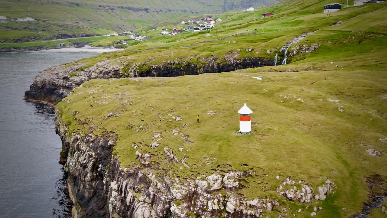
You know you are close when you see this light station.

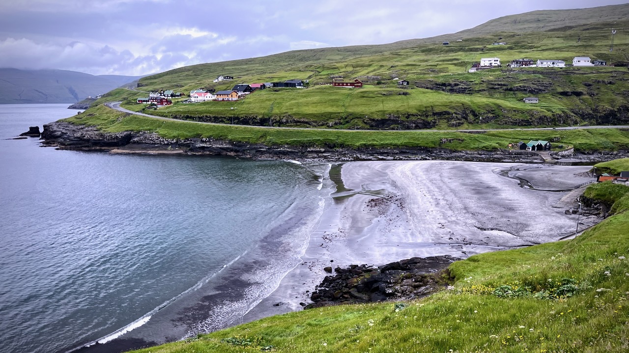
Leynar has a large black beach.

Here’s the view of the town you see from the highway.

Visiting the Faroe Islands

Planning my own visit to the remote Faroe Islands, I watched Ryan Shirley’s video most.

You need your own motor vehicle and quite a few days to duplicate what Ryan did. Often you want to wait on the weather to see highlights.

Ferries are sometimes cancelled due to wind.

The capital and largest city,ย Tรณrshavn, receives the fewest recorded hours of sunshine of any city in the world.

There are about 500km of roads to navigate, though you wouldn’t normally need a 4 wheel drive for most.

Click PLAY or watch it on YouTube.

TOP 10 hikes โž™ Ausangate Circuit, Peru

Ausangate Circuit is one of our top 10 hikes in the world.

Click PLAY or watch a 1 minute introduction on YouTube.

Ausangate Circuit

Our favourite hike in the high Andes. Doing it independently only recommended for confident, self-sufficient hikers experienced at high altitude. It’s remote.

alpacas

AT A GLANCE

Peru
Peru
  • circle sacred Ausangate massif (6372m, 20,905ft), the highest peak in southern Peru
  • 4 high passes between 4757m – 5165m
  • 70km (43.5mi) plus sidetrips
  • almost everyone does Ausangate with a guide, but it’s quite doable independently if you are acclimated 
  • many options to extend this trek
  • best months are the May-September dry season
  • Tinqui is 5-8 hours now only about 3.5hrs by bus on a new road, about 100km S.E. of Cusco
  • sidetrip to the “rainbow mountains” of Vinicunca

Read more on our Ausangate Circuit information page.

Visiting Lesotho, Africa

At high elevation, Lesotho offers terrific hiking โ€” almost everywhere. Cultural walking.

I’ve only done a 1-day day trip, myself. And found the people very welcoming of tourists.

ZacZac and Ine give us a good overview of the small nation fully surrounded by South Africa.

Click PLAY or watch it on YouTube.

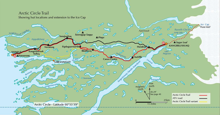
Hike the Arctic Circle Trail, Greenland

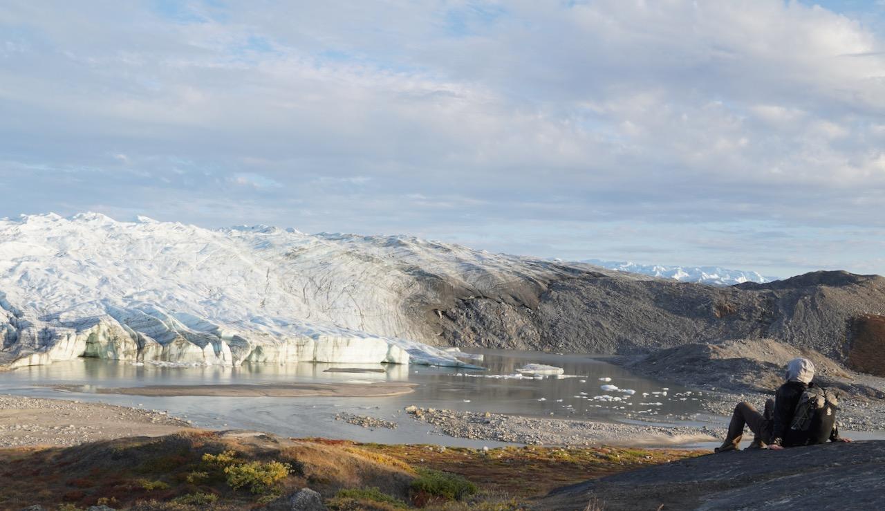
Cam Honan hiked one of the world’s most remote hikes solo late summer of 2022.

At a Glance

Distance:  200 km (124 mi) โ€“ Including the 35 km/21.7 mi โ€œIcecapโ€ Extension (See Prologue)

Average Duration:ย  10 daysย (Cam took 6 days)

Difficulty Level:  Moderate

Start:  Kangerlussuaq or Point 660 (i.e., The edge of the Greenland Ice Sheet).

Finish:  Sisimiut

Total Elevation Gain & Loss:  2,349 m (7,707 ft)

If everything goes right, the difficulty is moderate.

But you’d be out in the middle of nowhere if getting sick or injured. Prepare carefully if you have any interest in doing the best hike in Greenland.

The Hiking Life:

A Quick & Dirty Guide to the Arctic Circle Trail


I Love TENT Camping

Do YOU have trouble sleeping in a tent?

OFTEN it’s simply a matter of trying out different sleep systems. And getting used to it.ย 

Personally, I enjoy a solo evening tent camping. The best thing I ever did was buy a one-person-tent. 

IF two people canย stand each otherย living in the same tent, they could certainly get married. ๐Ÿ˜€ It’s VERY close.ย 

Click PLAY or watch it on YouTube. 

These two are just about to head off for an around the world tour. 

TOP 10 Hiking Towns โž™ Banff, Canada

A UNESCO World Heritage site, one of the great tourist destinations of the world, most everyone likes the quaint mountain town, Banff, in the Canadian Rockies. Growth is strictly limited by National Park regulations.

Banff … in Alberta’s Rockies, Canada.

… at 1,463 m (4,800 ft), it is the town with the second highest elevation in Canada, the highest being Lake Louise.

It is surrounded by mountains, notably Mount Rundle, Sulphur Mountain, Mount Norquay, and Cascade Mountain; and situated above Bow Falls near the junction of the Bow and Spray Rivers. Banff is located 126 km (78 mi) west of Calgary and 58 km (36 mi) east of Lake Louise …

…. It is a major destination for outdoor sports and features extensive hiking, biking, scrambling and skiing areas within the region. …

More interesting photos tagged Banff.

Canmore is a smaller town (pop. 12,000) just outside the park, a great alternative to touristy Banff. Alpine Club of Canada headquarters are located in Canmore. Many experienced hikers prefer it as a home base.

Two of our top 10 hikes in the world can be reached from here:

#5) Sunshine to Assiniboine, Alberta, Canada
#6) Glacier North Circle, Montana, USA

Mt. Assiniboine

More interesting photos tagged Assiniboine.

Many Glacier Hotel

More interesting photos tagged Glacier National Park.

Of course there are dozens of “best hikes” in the Rockies.

Lake O’Hara, for example, is the prettiest mountain hiking in the Rockies.

Plan for July to mid-September in the northern Rockies. Banff is a great town, but the hiking season is short. Blizzards are not uncommon in September. We often suggest Aug. 1st as a good start date for a walking holiday here.

Disclosure: besthike is based out of Calgary. Banff is our backyard playground. You could certainly accuse us of bias.