Before 2004, people needed to hike over a mountain shoulder to get there — but after the Gásadalstunnilin tunnel (1.4 km) was blasted — it’s became possible to drive, cycle, or arrive by public bus.
I cycled. And it was a bit scary in that long tunnel.
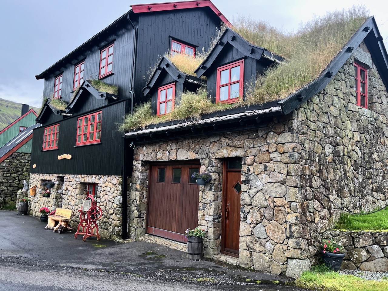
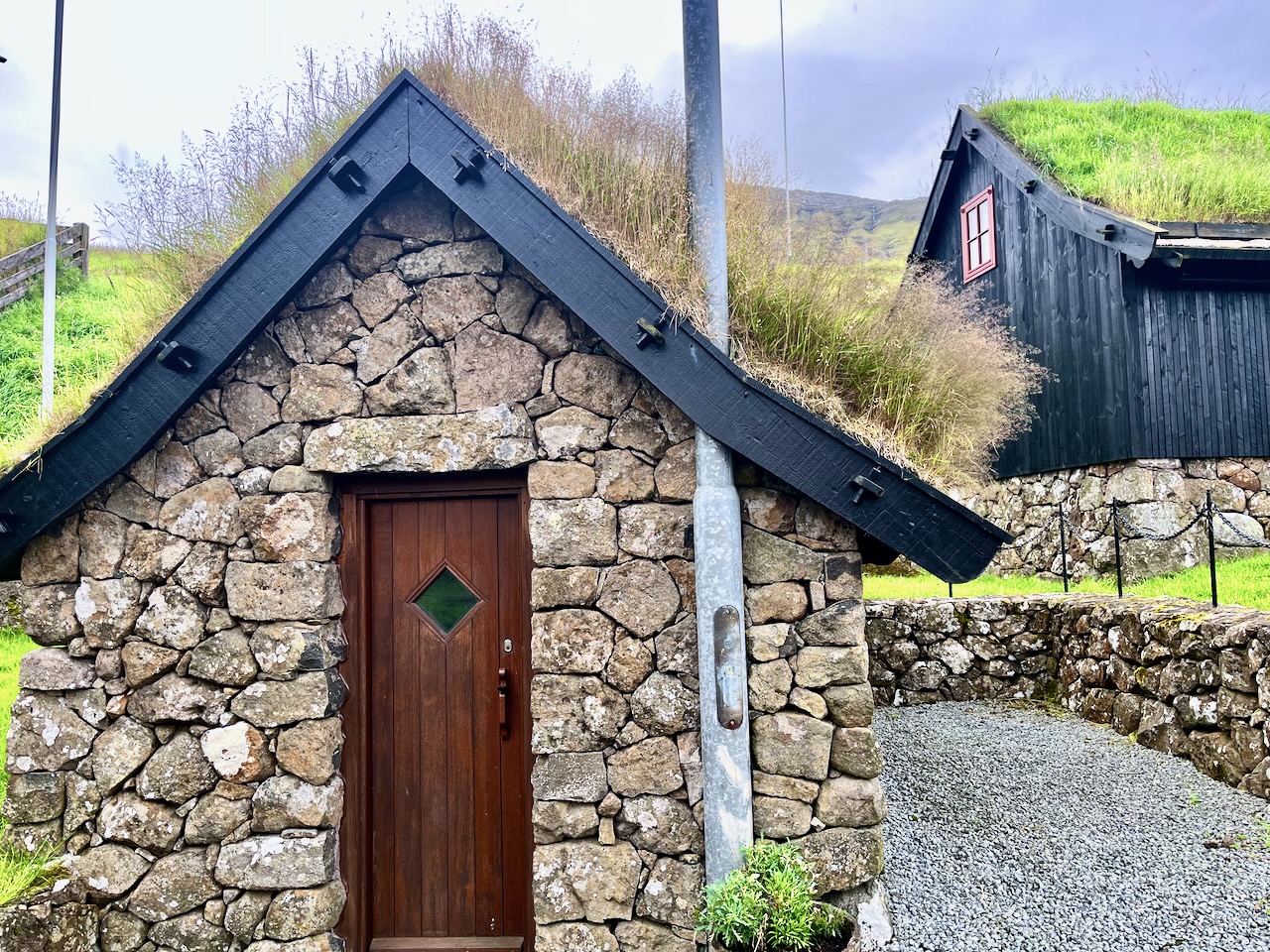
This was amongst the prettiest houses I saw on the islands.
I’d heard about a popular route for locals, crossing a mountain pass and finishing in Leynar. It’s not on any tourist guidebook I’ve seen, including AllTrails.
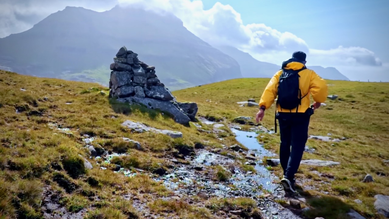
It’s not signed. Finding the trailhead on highway 50 was tricky. Look for a large stone cairn. It is somewhat marked on the Maps.me app.
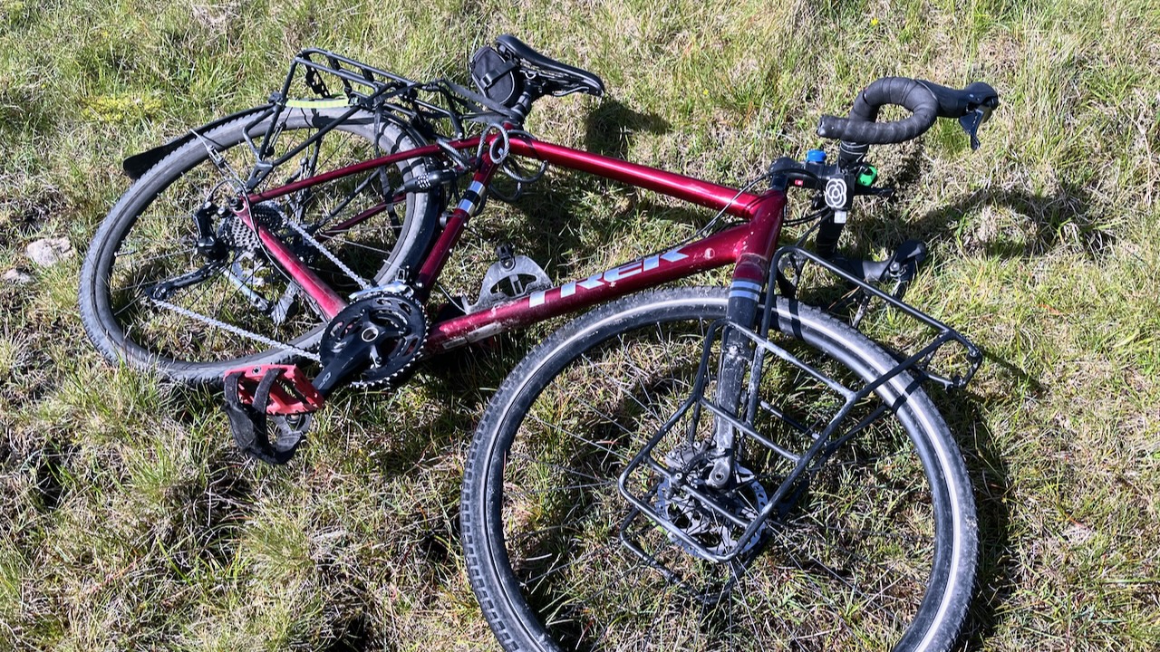
I left my bike in a depression and followed the cairns.
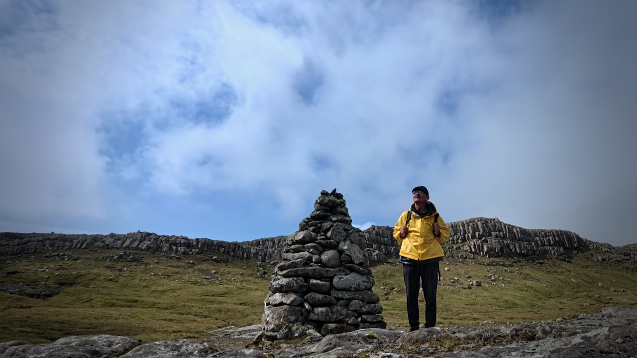
I had great weather and totally enjoyed a few hours on this wet trail.
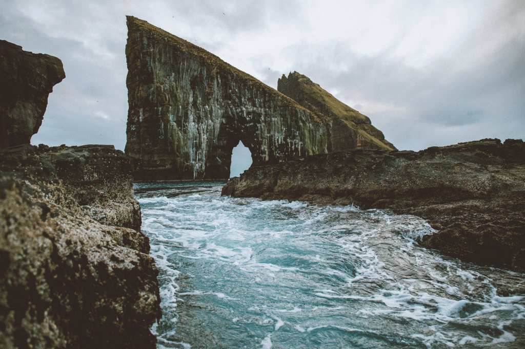
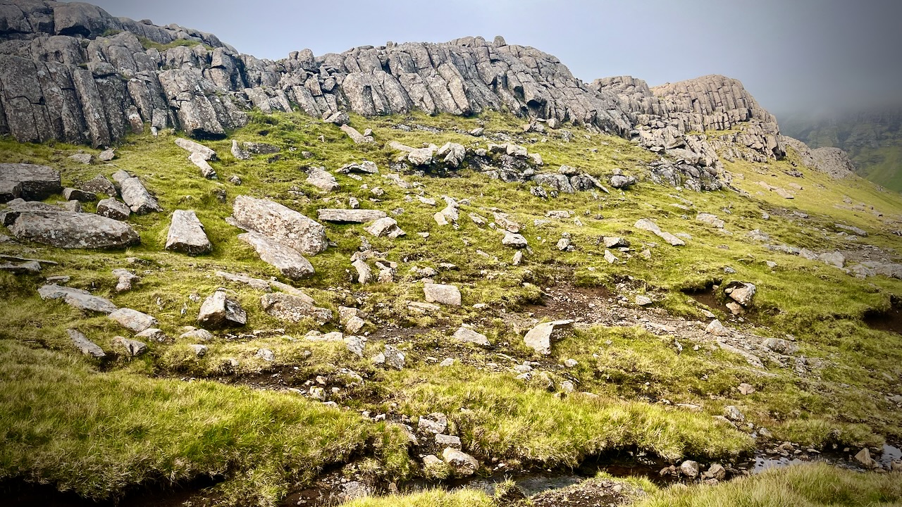
I saw only 3 other hikes on a beautiful day, all Faroese. They’d come to see the basalt columns.
It’s marshy. Waterproof socks recommended.
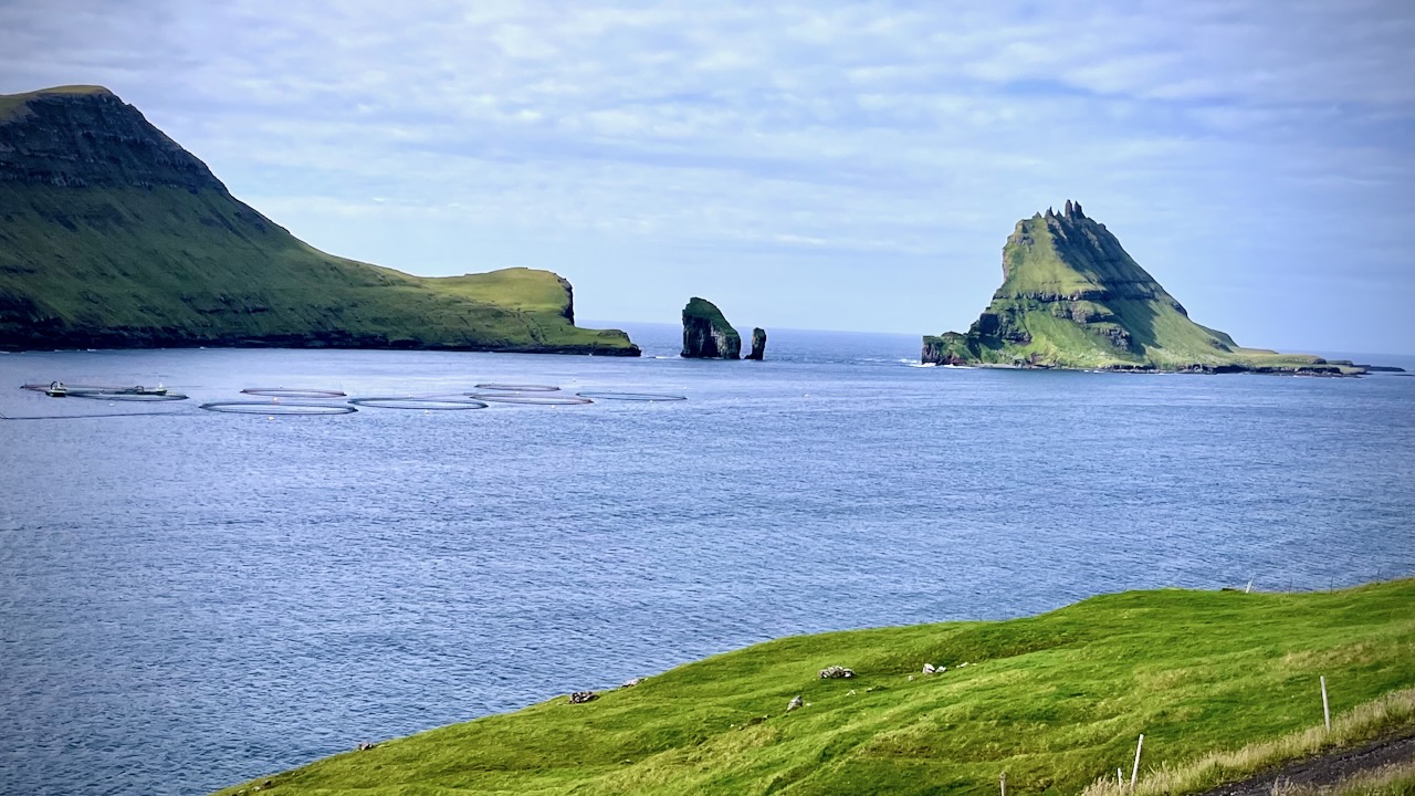
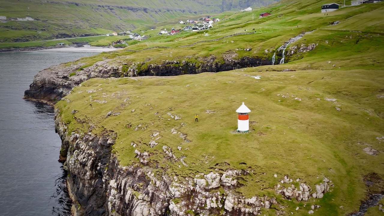
You know you are close when you see this light station.
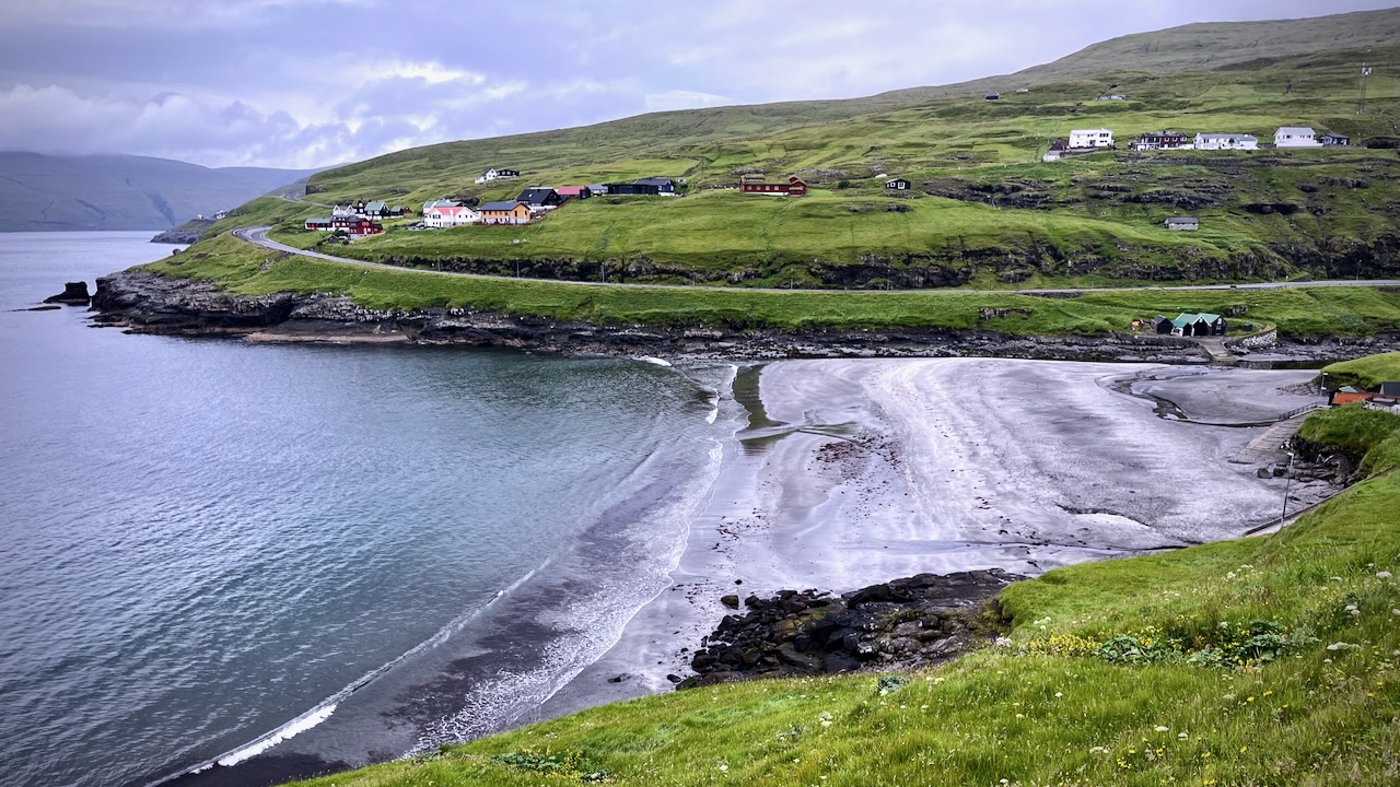
Leynar has a large black beach.
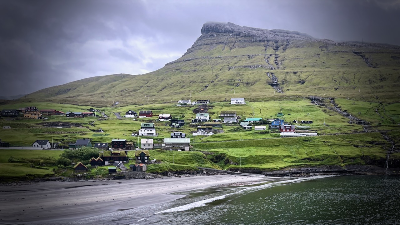
Here’s the view of the town you see from the highway.
Our favourite hike in the high Andes. Doing it independently only recommended for confident, self-sufficient hikers experienced at high altitude. It’s remote.
AT A GLANCE
Peru
circle sacred Ausangate massif(6372m, 20,905ft), the highest peak in southern Peru
4 high passes between 4757m – 5165m
70km (43.5mi) plus sidetrips
almost everyone does Ausangate with a guide, but it’s quite doable independently if you are acclimated
many options to extend this trek
best months are the May-September dry season
Tinqui is 5-8 hours now only about 3.5hrs by bus on a new road, about 100km S.E. of Cusco