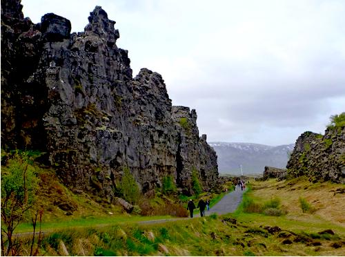
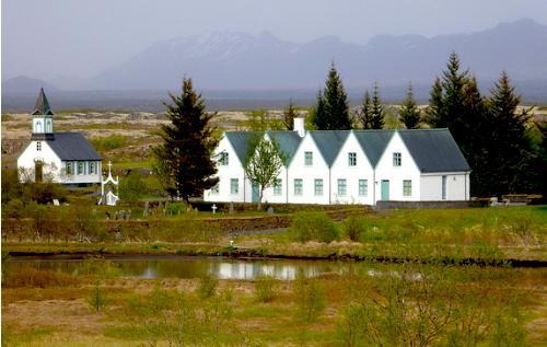
… Þingvellir is a site of historical, cultural, and geological importance and is one of the most popular tourist destinations in Iceland. It is the site of a rift valley that marks the crest of the Mid-Atlantic Ridge.
Due to acoustics, historians feel this rift is the most likely spot for people to assemble.
… Parliament or Alþingi was established at Þingvellir in 930 and remained there until 1789. …
It’s speculated that Clan Chieftains from across the island met here regularly for a 2wk Assembly.
I quite enjoyed wandering the area, imagining times past, ancient and modern.
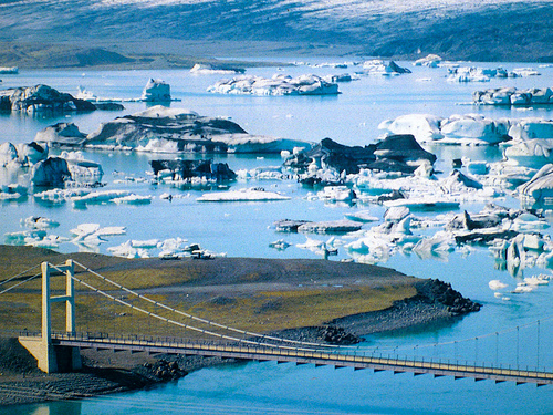
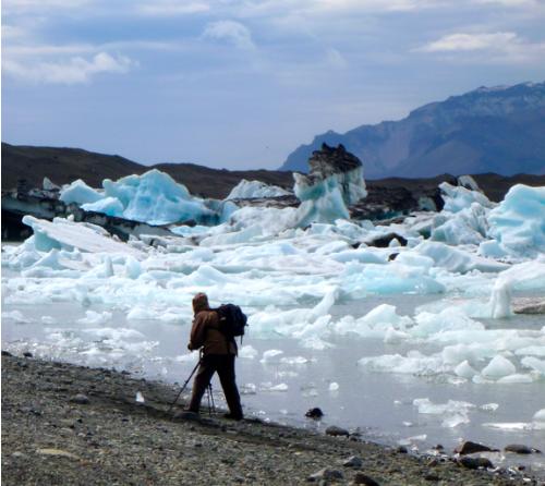
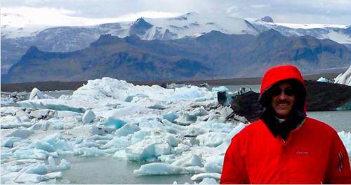
Jökulsárlón (lit. “Glacier Lagoon”) is the largest glacier lagoon or lake in Iceland.
… it evolved into a lagoon after the glacier started receding from the edge of the Atlantic Ocean. The lake has grown since then at varying rates because of melting of the Icelandic glaciers. The lagoon now stands 1.5 kilometres (0.93 mi) away from the ocean’s edge and covers an area of about 18 km2 (6.9 sq mi). …
The size of the lagoon has increased fourfold since the 1970s. It is considered as one of the natural wonders of Iceland.
tourism promo photo
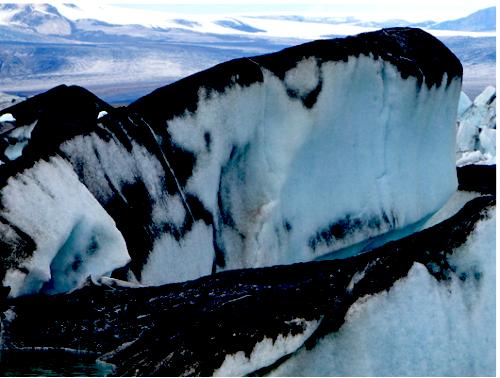
Some are ash covered, from recent eruption.
… The Jökulsárlón lagoon provides outstanding views of the Ice Cap, which is a vast dome of ice that rises to a height of 3,000 feet (910 m). It spills to the lagoon 12 miles (19 km) away from the jagged glacier hill to the edge of the water line. …
Iceland is a photographer’s dream. And this lagoon may just be the single most photogenic site on the island.
I do love icebergs.
click for larger image
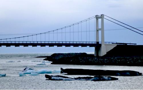
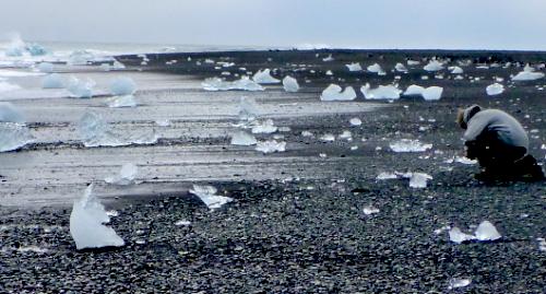
Don’t miss the ocean shoreline, the other side of the bridge, far less visited than the lagoon.
… OK, it’s EARLY in the season (June 13-14). The hordes have not yet arrived. It was closed 4 days not so long ago due to eruption of the Grímsvötn volcano, a fairly frequent occurrence, actually.
There are plenty of hiking & glacier walk options from this trailhead. Most are headed to Svartifoss.
hikers consulting the Trails map
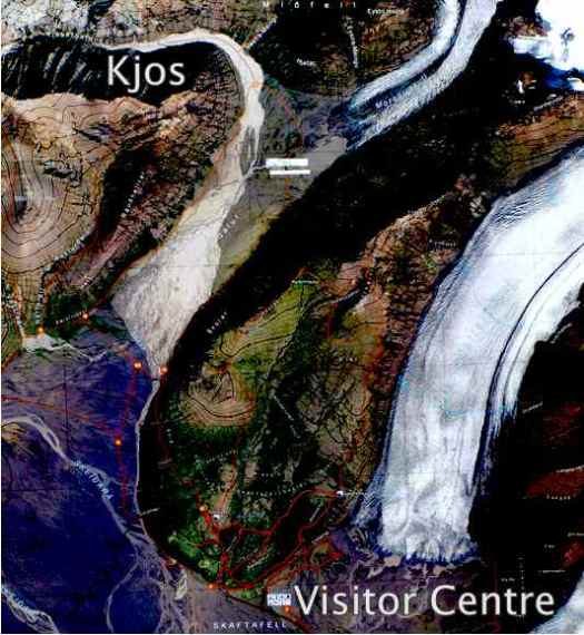
The only backcountry tenting allowed out of Skaftafell Visitor Centre is Kjos (see map below), at the start of an unusual glacial flood plain valley called Morsárdalur.
One of the bridges had been washed out, so I needed to go in-and-out to Kjos via the same ‘route’ (It’s not signed all the way.)
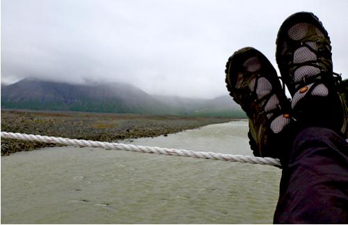
Here I’m taking the easiest Morsá river crossing.
Water crossings are the biggest challenge when hiking this island. I can see why Alastair Humphreys took a packraft on his crossing of Iceland, unsupported.
Aside from the route finding, Kjos is a pretty easy walk without much elevation gain.
There’s the campsite, just coming into view.
I set up here instead, under a rock overhang.
Instead of scrambling adjacent peaks, I relaxed in the tent. The weather was a continuous drizzle. Visibility was poor, anyway.
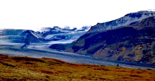
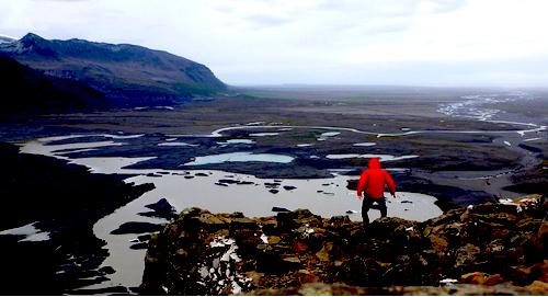
This hike reminded me of similar walks towards glaciers in the Yukon. But a big difference here are the big, black desolate areas of volcanic ash. Stark and photogenic.
I’d love to do a long walk over the ash black wasteland one day. It would be like crossing salt flats.
Svartifoss (Black Fall) is a waterfall in Skaftafell … Iceland, and is one of the most popular sights in the park.
It is surrounded by dark lava columns, which give rise to its name. The hexagonal columns were formed inside a lava flow which cooled extremely slowly, giving rise to crystallization. Similar well-known lava formations are seen at the Giant’s Causeway in Northern Ireland, and on the island of Staffa in Scotland. …
After seeing the unique falls, I continued on to the Skaftafellsjökull glacier overlook.
On the Hellnar to Arnarstapi coastal walk in Iceland I nearly tripped over a fox. We were both trying to get close to nesting sea birds on coastal cliffs.
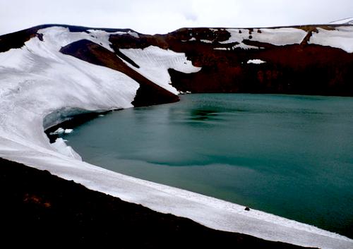
Krafla is a caldera of about 10 km in diameter with a 90 km long fissure zone… Its highest peak reaches up to 818 m and it is 2 km in depth. There have been 29 reported eruptions in recorded history. …
You can hike close.
End of day, I headed for the new Mývatn Nature Baths, promoted as the Blue Lagoon North.
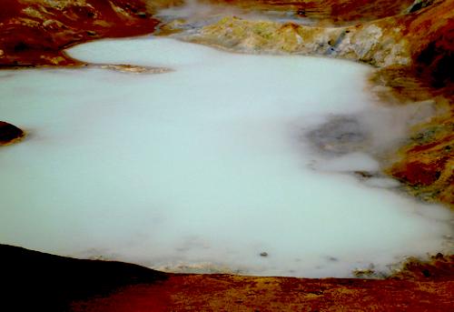
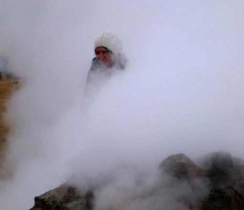
Hverir is a geothermal field to the east of Reykjahlid, to the side of the ridge known as Namafjall. The area is quite active, with mudpots and sulfurous puddles bubbling and steaming away. You will also see plenty of boiling springs, fumaroles and vents. The area naturally smells very heavily of sulfur, and you can often be engulfed in the steam clouds. A series of pathways meander through the area, which are roped off. Do not wander outside these areas as the area can be very dangerous. …
The Yellowstone National Park of Iceland is near Lake Mývatn (lake of MIDGES) in the North, an area of active volcanism.
Like Yellowstone, this area could blow up any time.
There are a dozen great day hikes to choose from. You could link them together – I met a British couple doing this – or drive trailhead to trailhead, as I did.
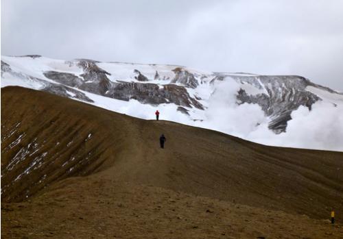
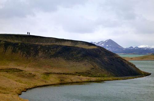
A short walk from the Information Centre is Hverfjall.
This one last erupted 2500 years ago. Whew.
It’s an easy walk up and around the rim. Weather permitting.