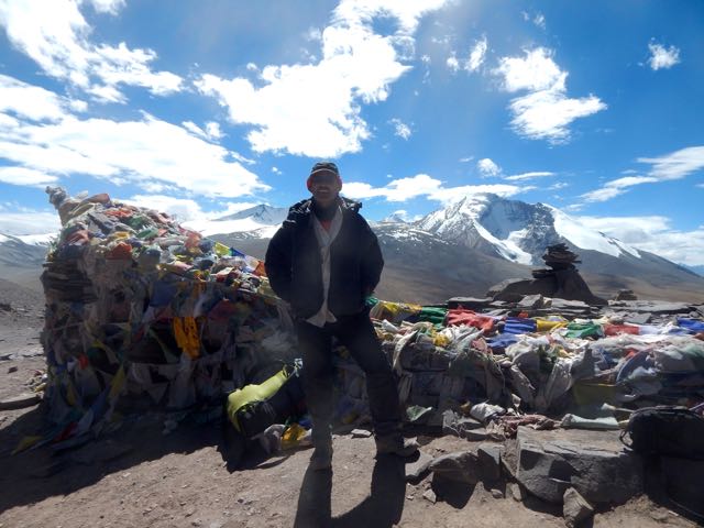
I’m heading out Saturday by bus from Granada to Trevelez, Andalucia to try for the 3 day, 45km Sierra Nevada Traverse.
Trevelez to Lanjaron.
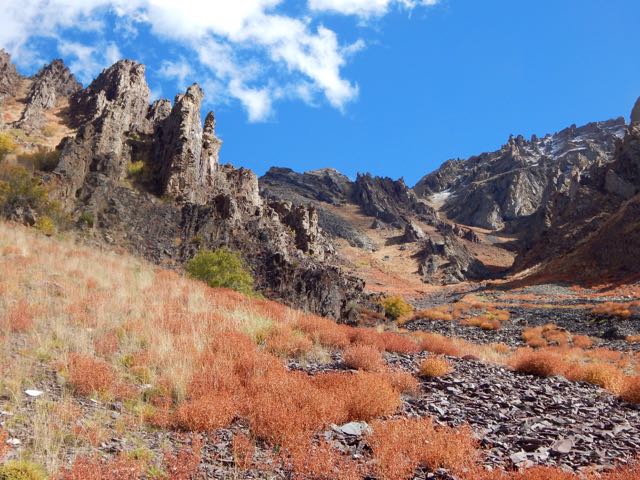
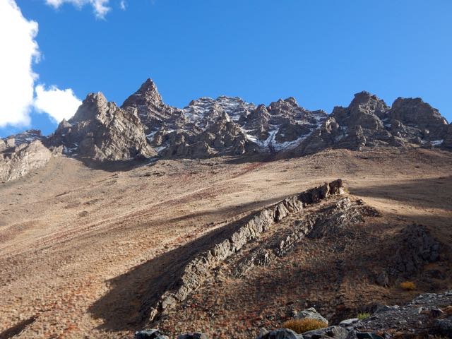
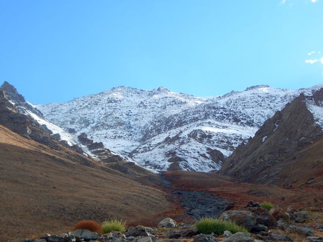
… It’s a little late in the season.
I should probably be down on the sunny coast. Not up there.


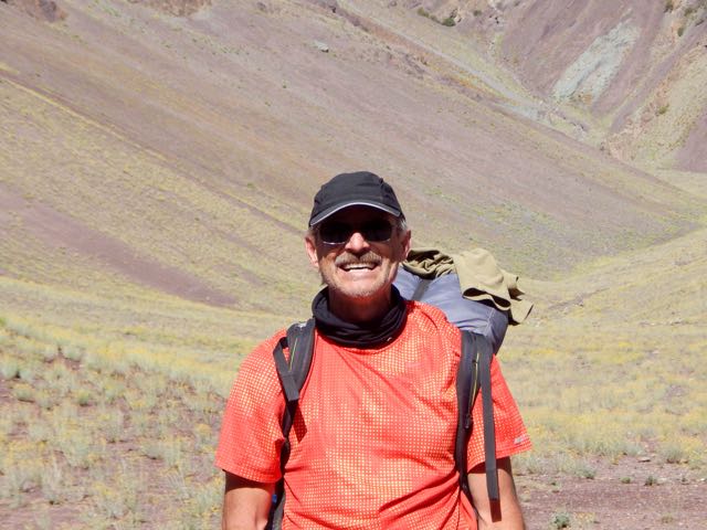
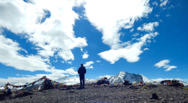
Best hikes, treks, tramps in the world.
Finally saw the $55 million Hollywood blockbuster – which has grossed $137.4 million, so far.
Everest has received generally positive reviews from critics. On Rotten Tomatoes, the film holds a rating of 72%, based on 178 reviews, with an average rating of 6.7/10. …
Click PLAY or watch the trailer on YouTube.
Jon Krakauer, author of Into Thin Air, denounced the movie, stating some of its details were fabricated and defamatory. …
The widow of Scott Fischer is not happy, either.
Kraig Becker:
Hollywood has a along history of making mostly bad movies about climbing and mountaineering. …
… few films can hold a candle to Touching the Void for instance. But now, the big blockbuster production Everest is set to get a wide release in theaters this week, and if you’re looking for well made, at times harrowing, film about high altitude climbing, you certainly could do a lot worse. …
The film is based on the actual events that took place back in 1996, when one of the biggest disasters in mountaineering history took place. The story is a well known one in mountaineering circles of course, with Jon Krakauer’s Into Thin Air most famously telling the tale. …
… This is a film that is beautifully made, and seeing sweeping shots of Everest, and the Khumbu Valley that leads up to it, was breathtaking. …
Probably my favorite aspect of the film was Jason Clarke’s portrayal of Rob Hall. He did a great job of selling the character, and was the centerpiece of the entire movie. …
Adventure Blog – Movie Review: Everest Gets It Right – Mostly
I don’t expect Hollywood films to get EVERYTHING right. Anatoli Boukreev – for example – could barely speak English, I understood. Until this film.
I liked it even better than Kraig. (And much better than Krakauer). 🙂
I must have cried for 30 minutes or more.
trip report by besthike editor Rick McCharles
day 0 | day 1 | day 2 | day 3 | not recommended
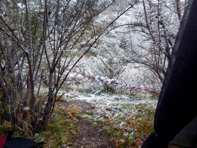
About midnight I felt droplets of rain on my face. For the first time in Ladakh I got up and put the fly on the tent.
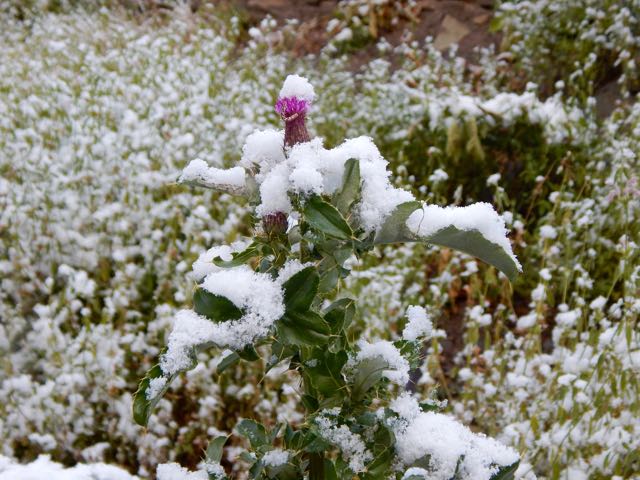
Opening the fly next morning I was surprised to see a winter wonderland.
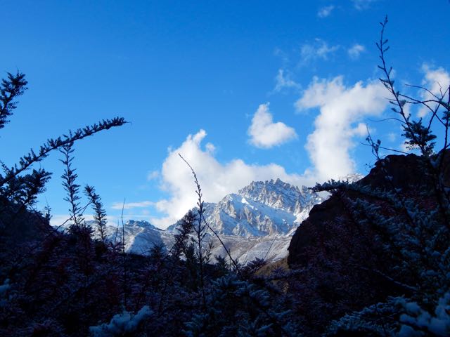
Yet more new snow dusted the mountains.

I’d tented out of sight in these trees.
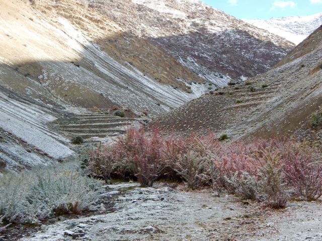
Dropping further down the valley I finally saw some people. An elderly couple bringing up their goats to graze.
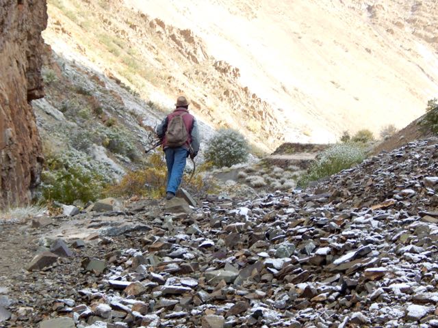
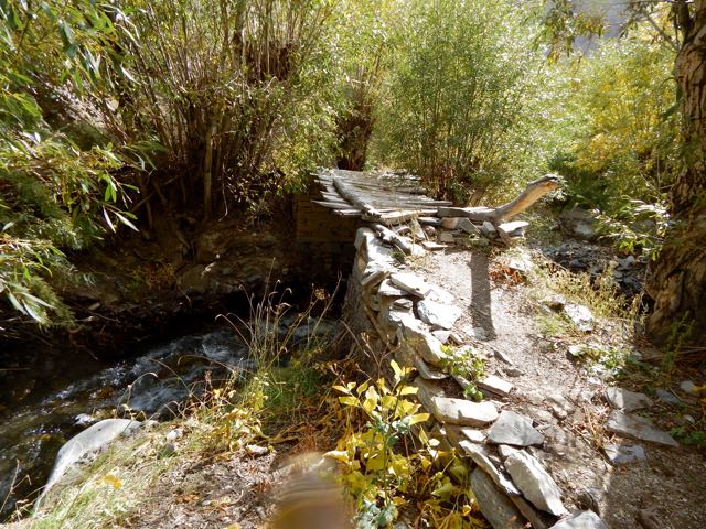
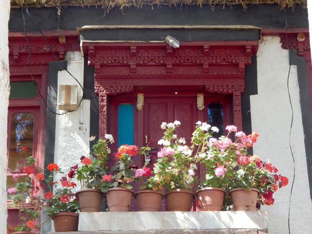
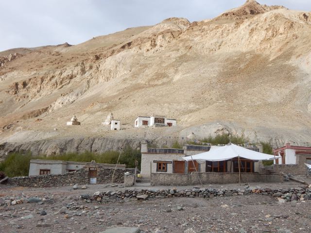
It’s a nice valley, for sure. Some of the buildings impressive.
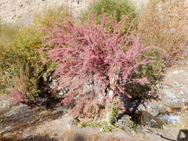
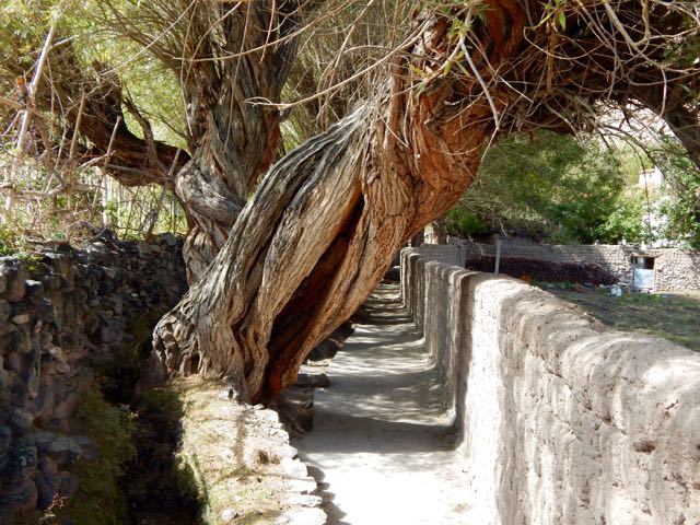
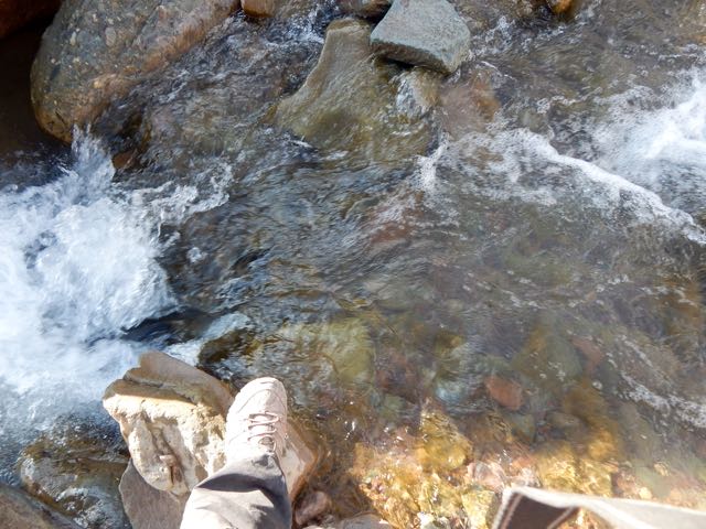
My face somewhat burned from reflected snow the previous day, the shade of the creek foliage was appreciated.
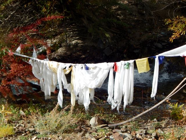
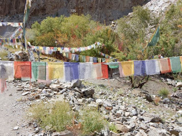
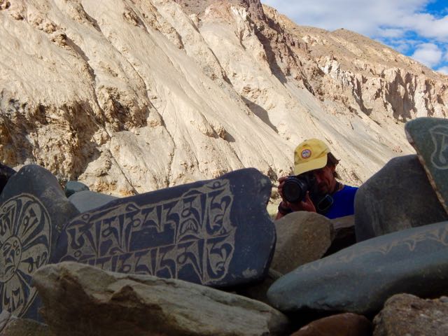
I saw some unusual Buddhist flags and scarfs en route. Like wash day at the monastery.
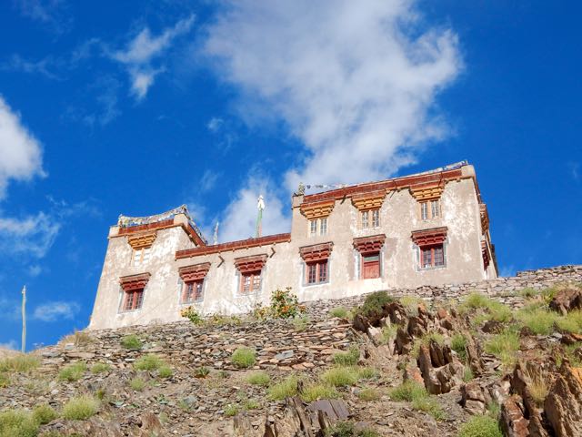
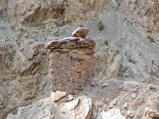
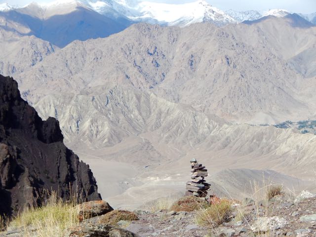
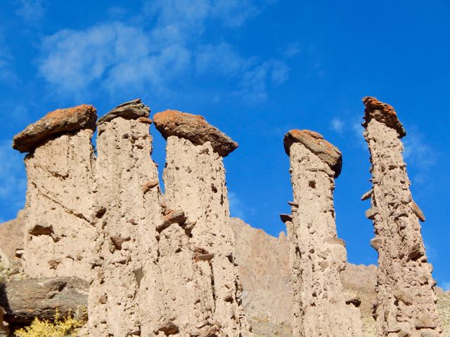
This is some significant Buddhist site. Unusual rock formations.
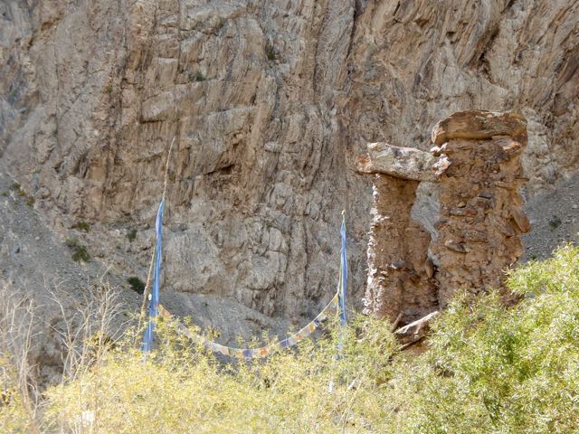
I know because a foreign tourist arrived by car to take photos. Here. On this excellent black top roadway.
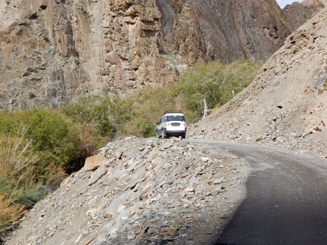
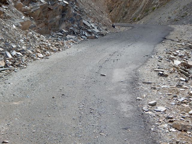
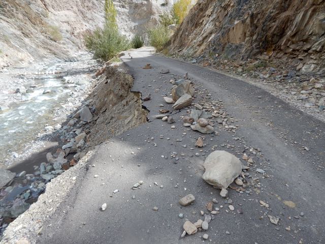
A road? What?! 😦
There are no people in this valley. Yet the Indian government built a road up this valley?
I’d planned two more nights on the Alchi circuit. But right here I decided my trek was over. I don’t hike roads.
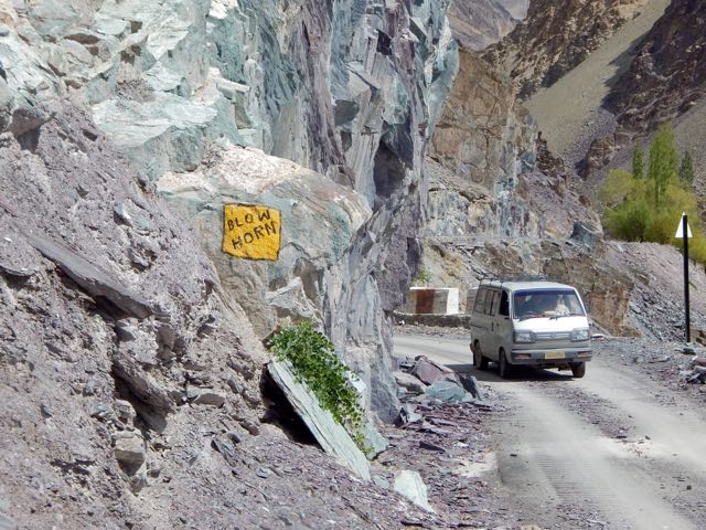
Then – despite my protestations – I proceeded to hike the road all the way down to Sumdha Do.
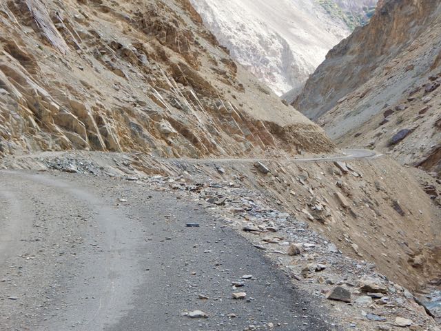
Mountain people want roads and electricity. Both degrade the hiking experience.
AND it’s nearly impossible to maintain these roads. Washouts, rock slides and collapse are non-stop.
At Sumdha Do I had trouble finding out how to escape. Indians feel it’s polite to give strangers an answer, even if it’s incorrect. Finally I collected 3 independent answers that concurred.
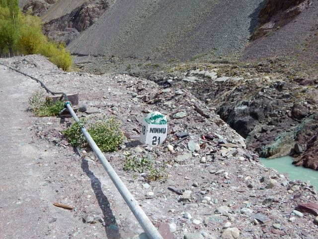
This was the road heading in the direction of Leh.
It was 21km to Nimmu village on the main highway.
Would I have to walk it?
NOPE. 🙂
The second vehicle to pass picked me up. An Indian Army jeep.

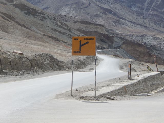
They dropped me – after a rough ride – at the highway crossroads. The second vehicle to pass picked me up. Turned out it was a jammed, shared taxi. For $2 it delivered me back to Leh by 1pm.
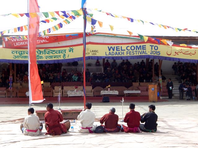
After a hot shower I was just in time for the closing ceremonies of the annual Ladakh festival. Speeches. Ethnic music and dancing.
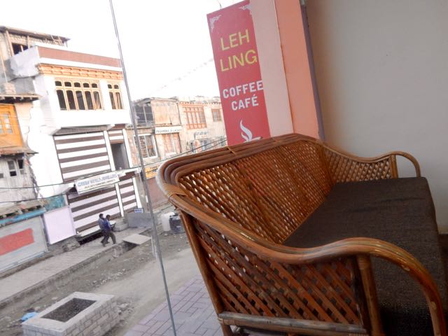
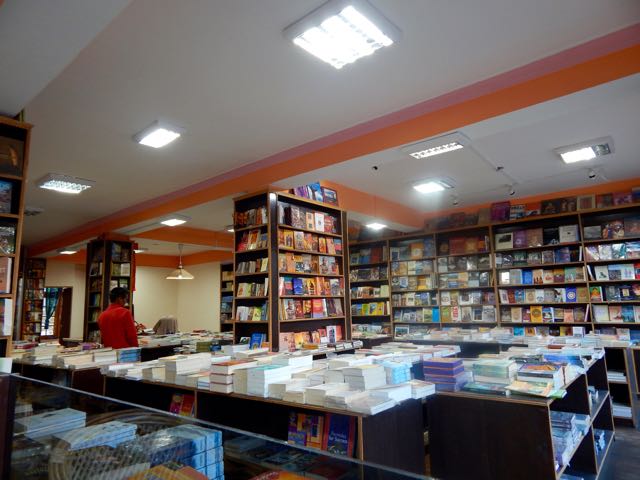
I didn’t last long. I headed, instead, to the excellent Leh Ling Cafe & Bookstore for Chai.
See all the high resolution photos from this day.
day 0 | day 1 | day 2 | day 3 | not recommended
trip report by besthike editor Rick McCharles
day 0 | day 1 | day 2 | day 3 | not recommended
After 2 days rain delay, the morning dawned lovely in Leh.
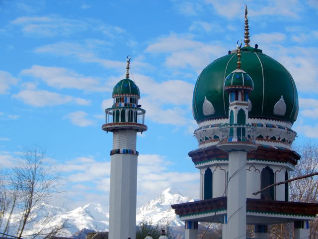
First stop was the outdoor bakery near the main Mosque.
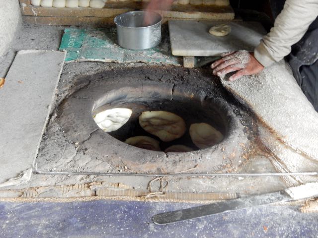
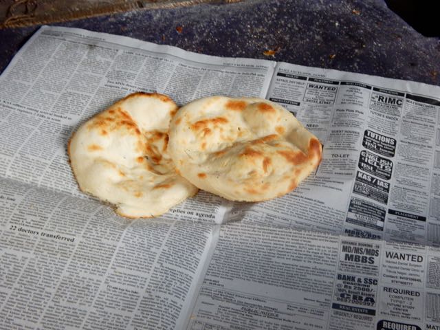
I picked up 10 flat bread for less than $1. My hiking lunches. With peanut butter. 🙂
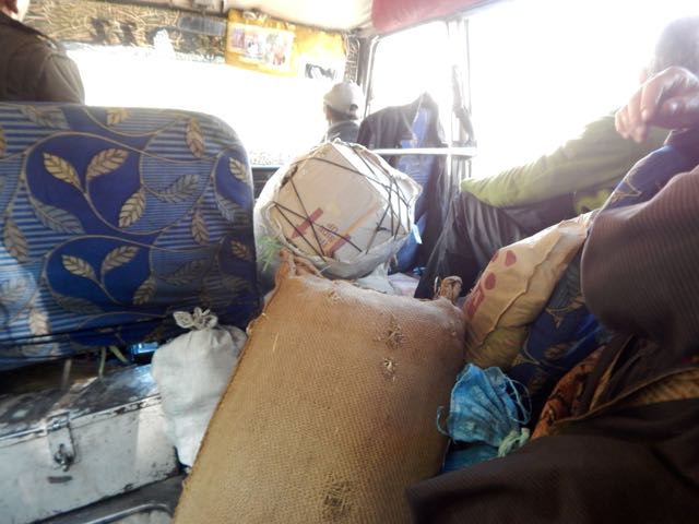
At the NEW Bus Station I found the (unmarked) 8am bus to Alchi, about 70km away. It was packed.
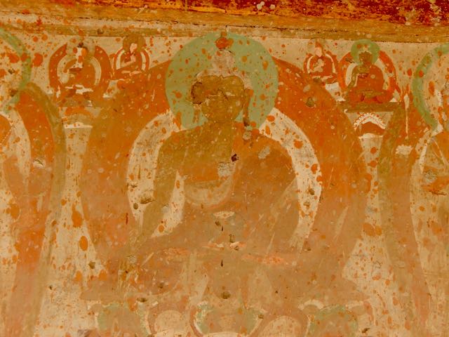
Alchi Monastery or Alchi Gompa … is said to be the oldest and most famous. …
The monastery complex was built, according to local tradition, by the great translator Guru Rinchen Zangpo between 958 and 1055. However, inscriptions in the preserved monuments ascribe it to a Tibetan noble called Kal-dan Shes-rab later in the 11th century …
The artistic and spiritual details of both Buddhism and the Hindu kings of that time in Kashmir are reflected in the wall paintings … These are some of the oldest surviving paintings in Ladakh. …

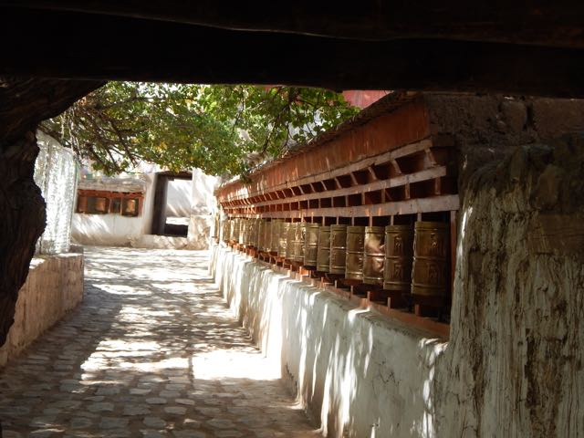
I made the Kora. Let’s hope my hike goes well.
My last meal.
The Italian woman who joined me at the tiny restaurant in Alchi square was hospitalized in Leh the day before. Altitude sickness. She was given 2 shots and 3 different pills!
The restaurant owner pointed me in the right direction at 11am. Wandering though local fields.
I was at an altitude of 3,100m (10,200ft). And needed to climb at least 2km vertical!
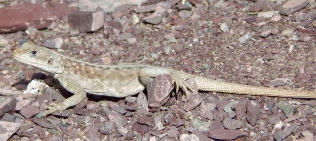
Here’s the one and only lizard I saw on the trip. He stayed behind in the sun.
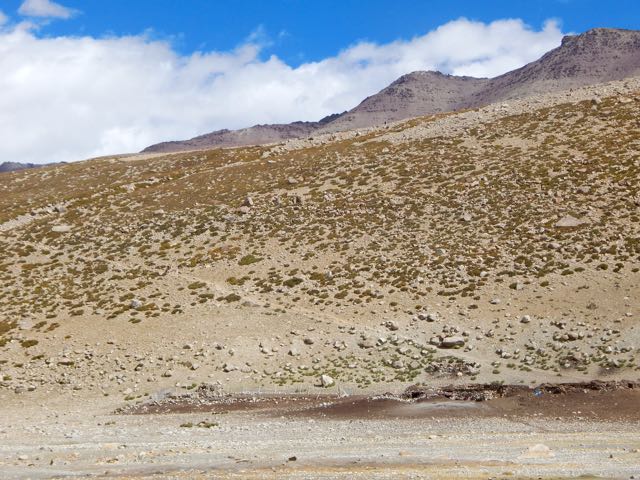
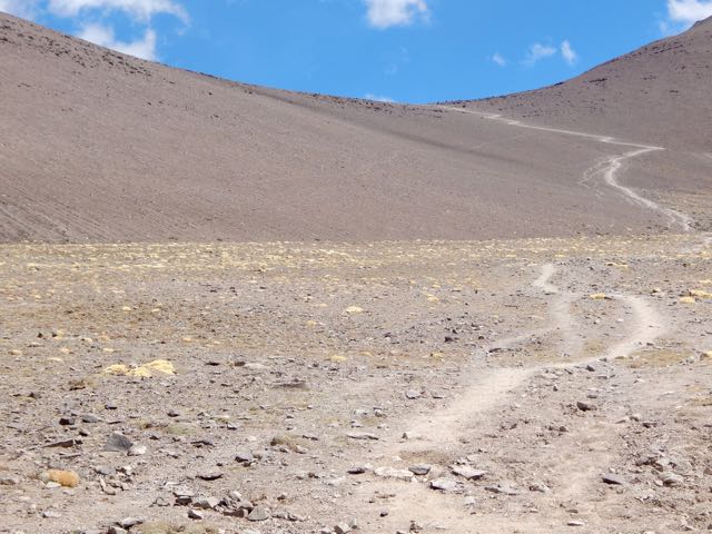
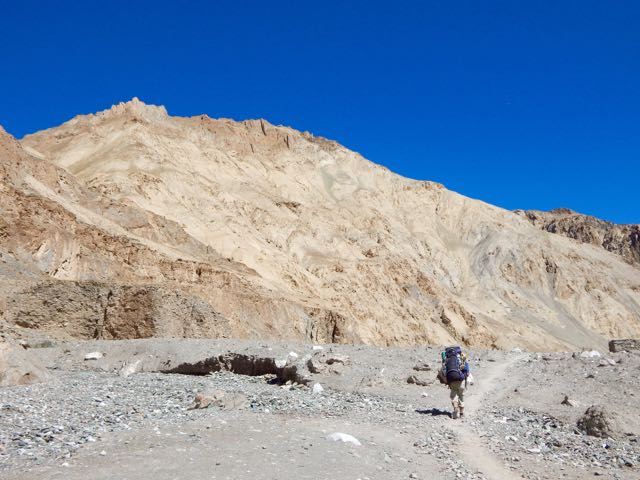
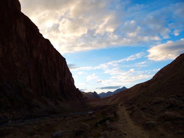
It’s an easy start. Winding up a Himalayan valley.
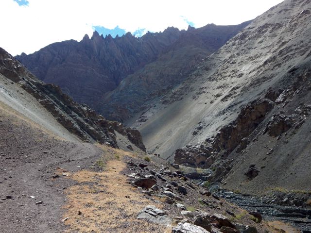
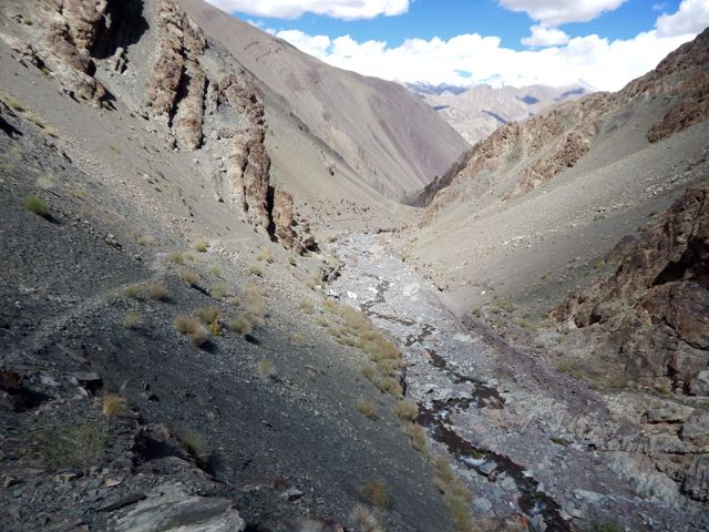
Still, I was worried. I’d need to cross a huge, difficult pass, about the same height as I could see on the other side of the Indus valley.
Higher and higher.
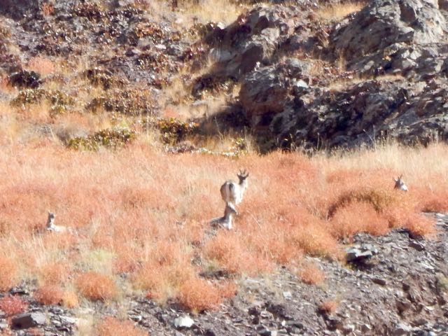
Up a side valley I spotted Blue Sheep. Here’s the herd at 32x zoom.
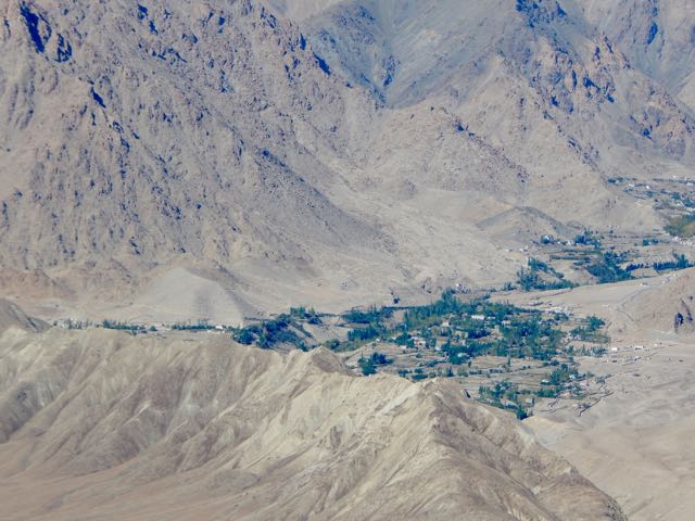
That oasis across the Indus is the famed Buddhist temple Likir.
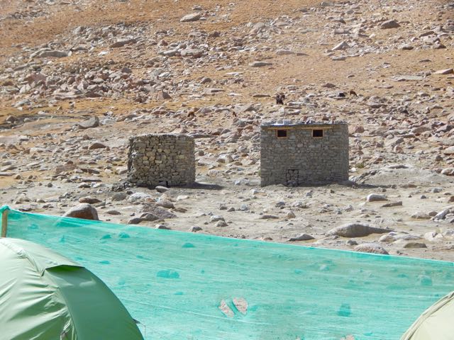
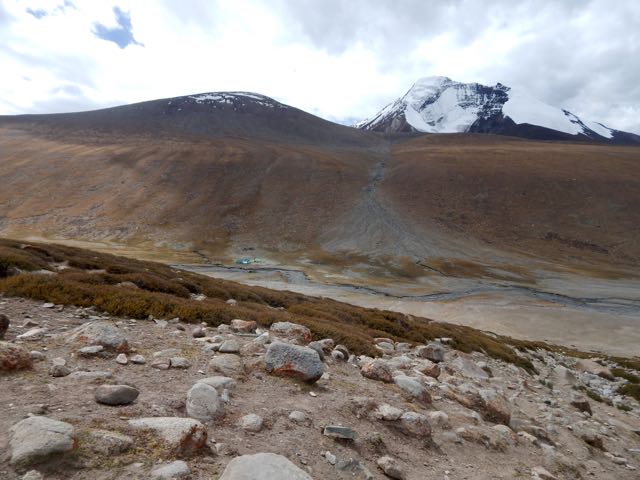
I set up my tent at the last possible site, the highest shepard shelter. My guidebook called it Stakspi La Base Camp. It was 3:30pm.
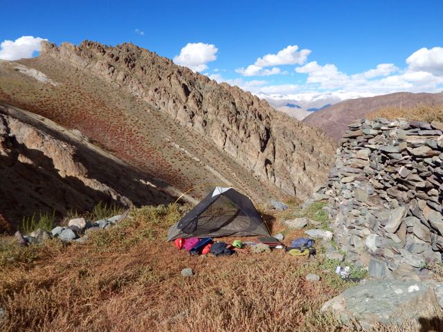
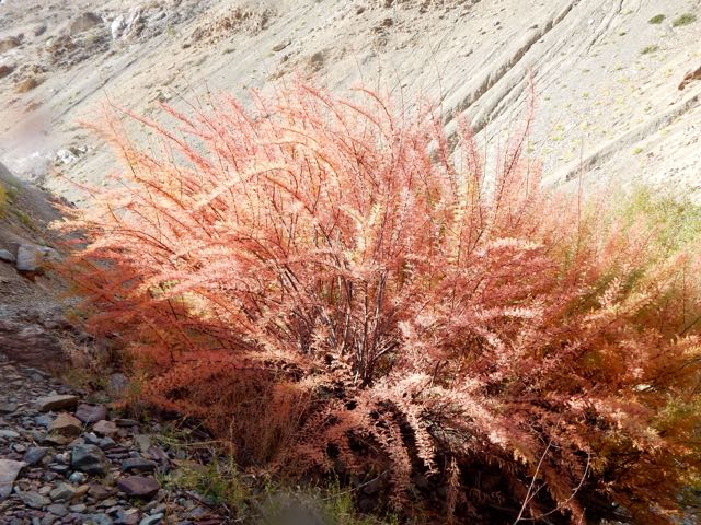
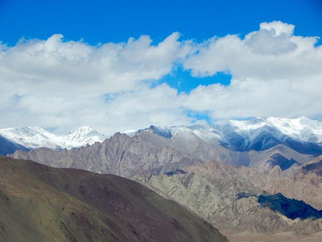
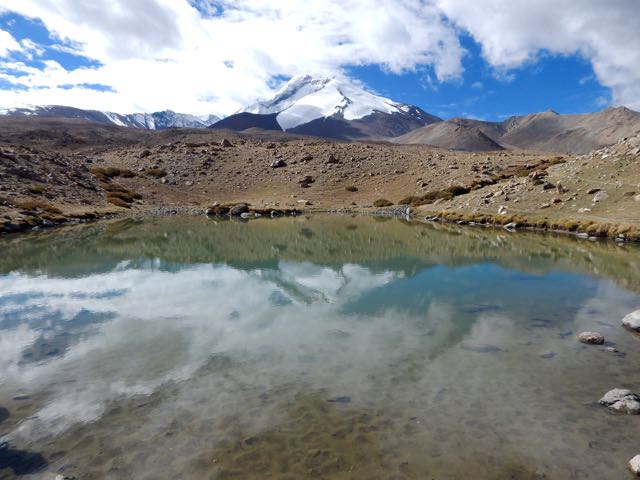
In the bright Tibetan sunlight, the autumn colours were lovely.
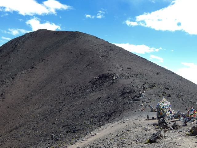
My goal for tomorrow is climbing up and over this 5000m+ wall.
Goodnight.
See all the high resolution photos from this day.
day 0 | day 1 | day 2 | day 3 | not recommended
trip report by besthike editor Rick McCharles
day 0 | day 1 | day 2 | day 3 | not recommended
I’d finished the famed Markah Valley trek in 7 days.
What next?
My hiking guidebook by Kucharski detailed a nearby alternative called Alchi – A circuit over five passes.
“… less popular and slightly harder than Markha …”
Sounded good to me.
The trailhead is famed Alchi monastery, about 70km from Leh.
Fit and ready to go, my start was delayed 2 days by … rain.
Rain? It never rains in Ladakh. 😦
day 0 | day 1 | day 2 | day 3 | not recommended
Click PLAY or watch it on Vimeo.
trip report by besthike editor Rick McCharles
day 0 | day 1 | day 2 | day 3 | day 4 | day 5 | day 6 | day 7 | info page
Good morning.

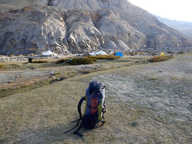
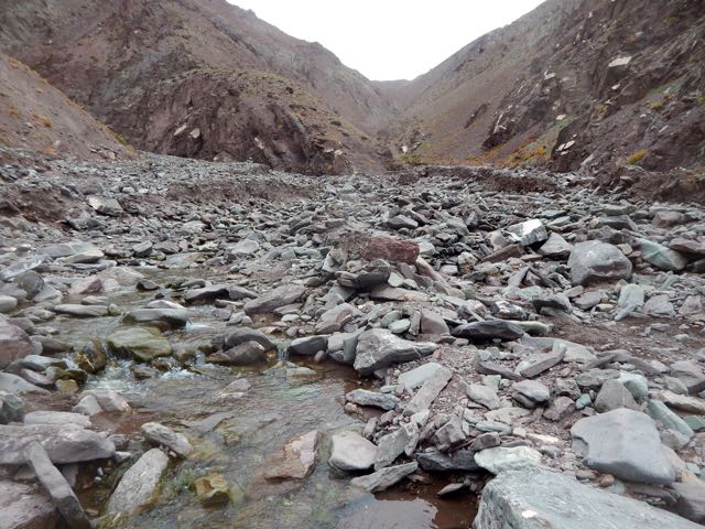
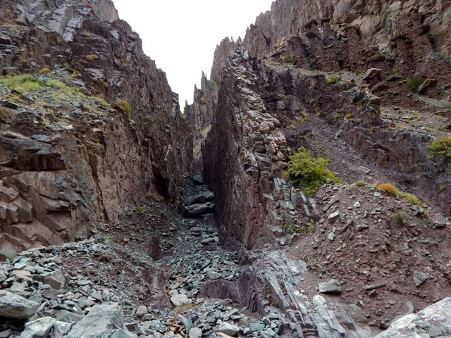
After 2 pots of coffee in a totally empty campground, the first sight of my hiking day was … these.


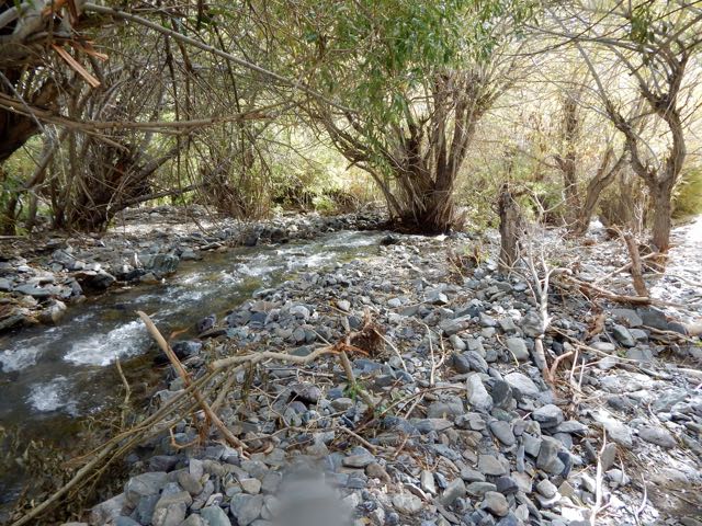
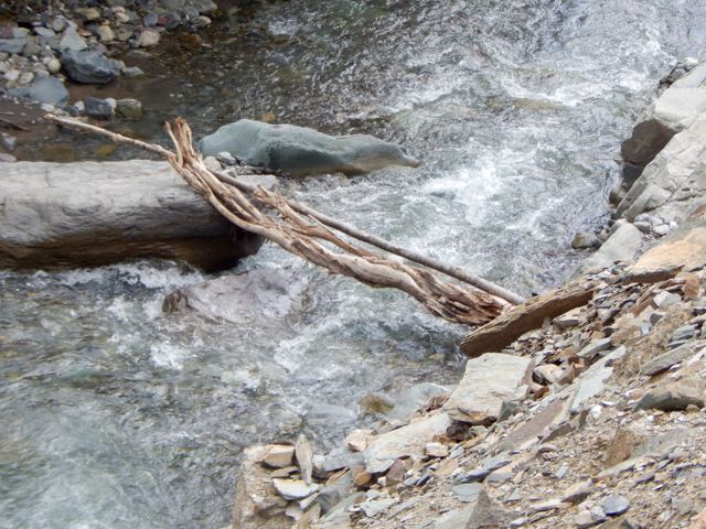
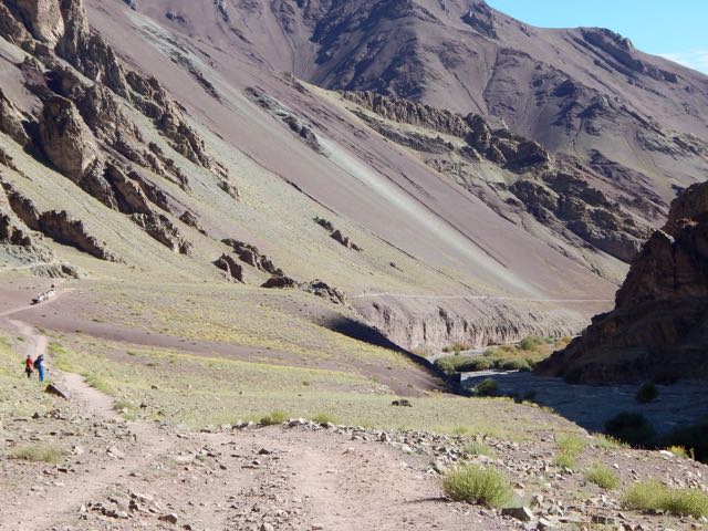
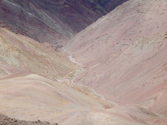
The river valley continued rocky requiring many boulder hops.

Chockdo 3985m is a pretty place.
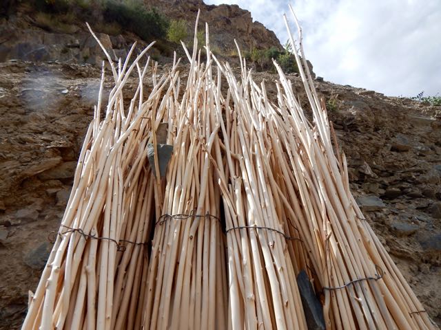
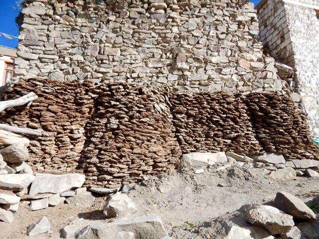
Well stocked with dung fuel for winter.
Unfortunately electricity has reached Chockdo. If I see electrical lines or motor vehicles, I quit hiking ASAP.
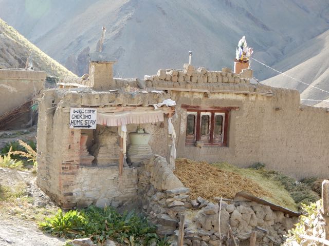
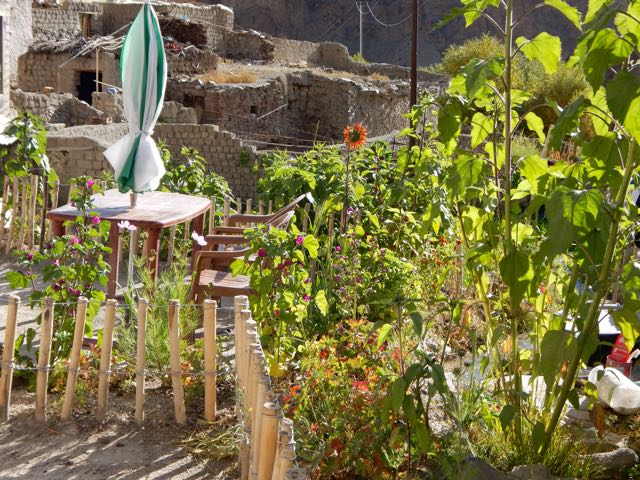
The homestays here actually look appealing.


Compared with yesterday, this descent was a piece of cake.

I was a little fried, but – like the horses – happy to be reaching the finish line.
At Shang Sumdo I found 2 jeeps packing up. One was already full. The other agreed to drive me back to Leh for $8.

I said goodbye to the Markha circuit.

And goodbye to Sergei.
He decided to walk to the highway. Then hitchhike to somewhere else. Somewhere with more trees. 🙂
Home sweet home. Hotel Chube in Leh.

Luke warm shower. Dosa and uttapam for lunch. 3 hours of internet. Then a celebration dinner with friends at Chopsticks, my favourite restaurant in town.
Astonishingly we watched professional wrestling on TV. It’s unbelievably popular in India.
See all my high resolution photos from this day on flickr.
day 0 | day 1 | day 2 | day 3 | day 4 | day 5 | day 6 | day 7 | info page
trip report by besthike editor Rick McCharles
day 0 | day 1 | day 2 | day 3 | day 4 | day 5 | day 6 | day 7 | info page
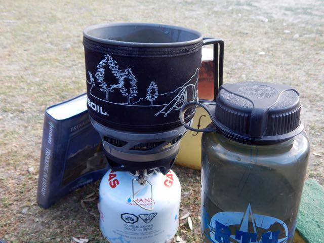
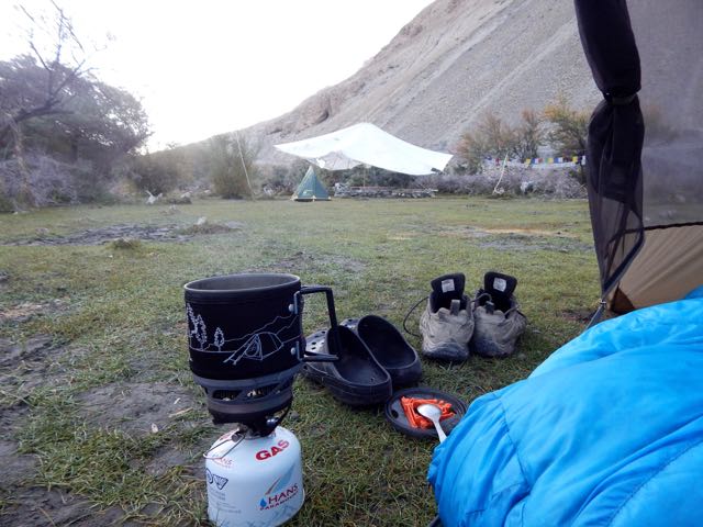
Coffee in the tent. Two pots.
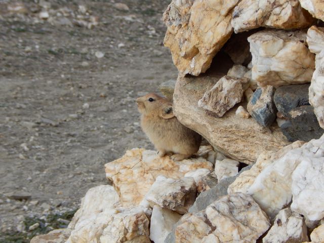
Nearby was a big marmot hole. Currently occupied by this pica.


I packed up sooner than anyone else in camp (aside from Sergei). Nobody arrived to collect my fee.
I’d never seen so many picas in my life as I did this day. The Ladakh population is quite fearless too.
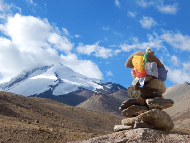
It’s easy to see we were reaching high altitudes again.

Tsigu lake 4690m.
Here’s Kang Yaze peak 6400m.

Looking back down the Markha a gorgeous vista.
I caught a glimpse of Sergei, perhaps a half hour ahead.
He was en route to Gongmaru Pass. Which looks very easy from here.
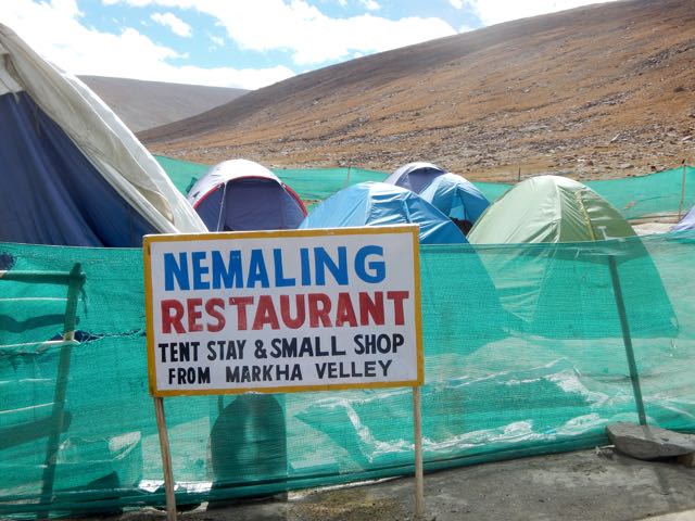
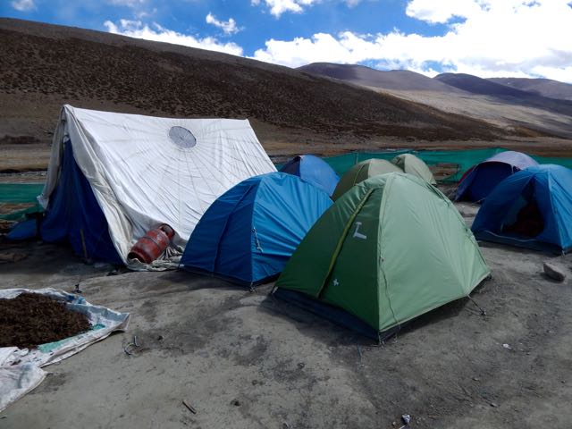
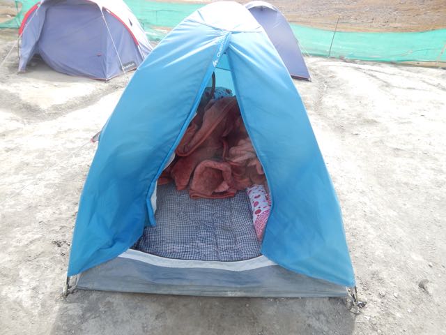
I stopped at the parachute in Nyimaling 4848m. (VERY high!) If you’re smart, you overnight here in these tents giving more time next day to get over.
I started up towards the pass at 11am.
Looking back to Kang Yaze mountain.
That’s Langthang Valley, the start of the difficult, remote trek to Pang. (My next trip to Ladakh.)
My climb looks easy. But it took a lot longer than anticipated to get to Gongmaru La 5287m.
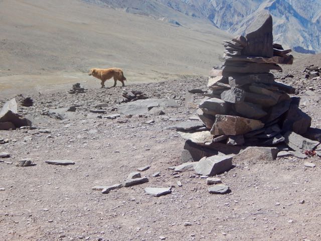
Surprisingly, I caught Sergei. And this dog.
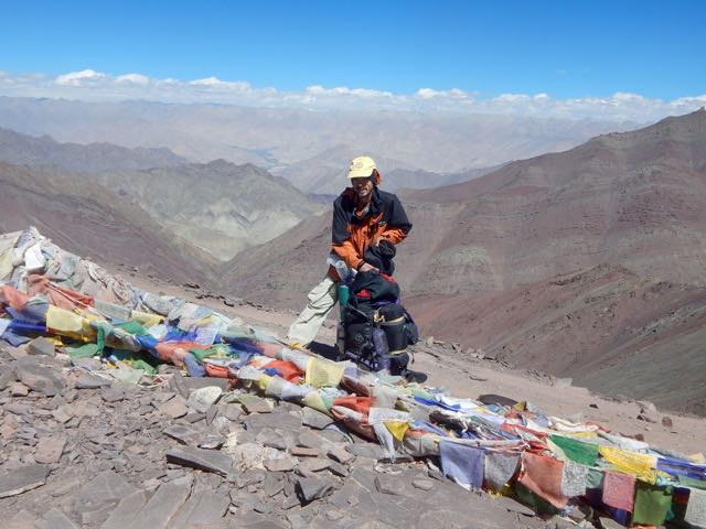
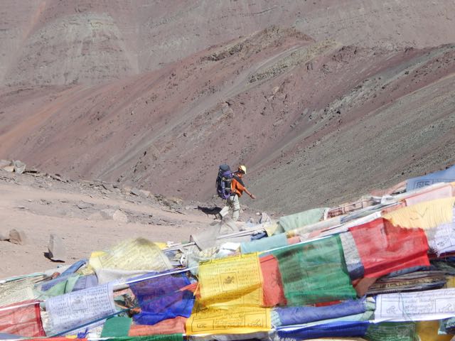
Sergei started down while I enjoyed the top for some time.
I like that last photo, using it for Facebook.
Every time you reach a high pass it’s worth checking both sides. In this case you could easily climb to 5500m or higher. I didn’t have the energy. Instead dropped down to the other side.
This guy and his horses coming up looked exhausted.
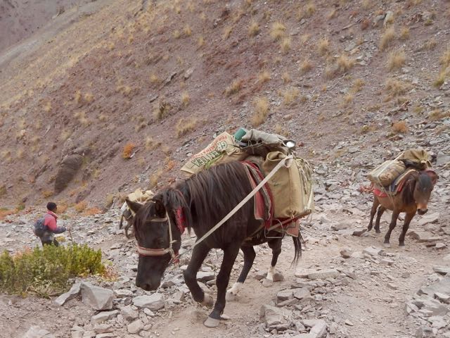
It would be easier to fly.
“It takes 3 1/2 hrs to Chuskyurmo from the pass.”
Kucharski – the author of my guidebook – bungled that estimate. It must take some people 6 hours to make this descent.
“ … steep, slippery, precipitous, stony, … “
Yep. And worse.
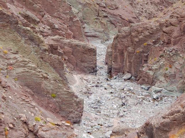
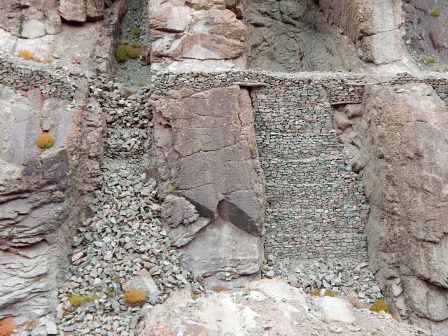
Engineers at various times have tried to make a safer trail. But landslides and washouts are difficult to predict.
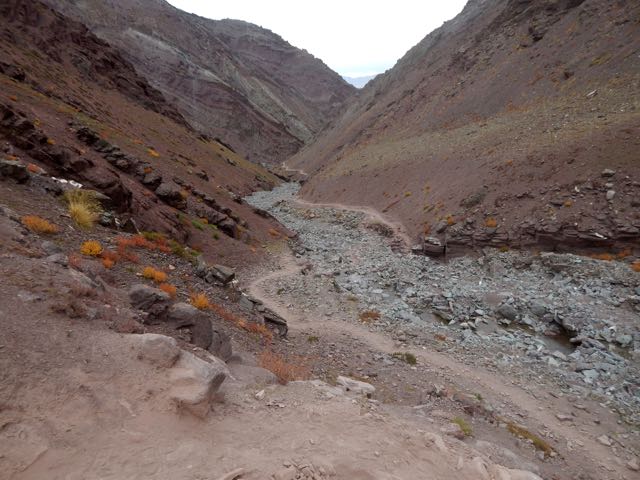
Boulder hopping is a necessary skill.
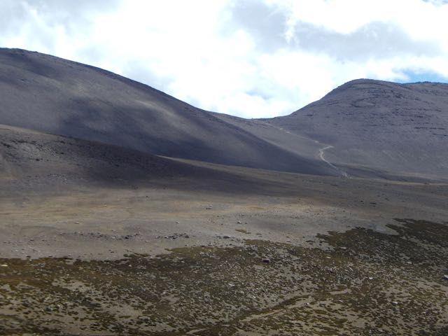
The trail seemed to get worse and worse.
I got fed up after this point. Stopped taking photos. When I finally reached Chuskyurmo I plunked down my pack at the first official campsite.
Good night.
See all my high resolution photos from this day on flickr.
day 0 | day 1 | day 2 | day 3 | day 4 | day 5 | day 6 | day 7 | info page
trip report by besthike editor Rick McCharles
day 0 | day 1 | day 2 | day 3 | day 4 | day 5 | day 6 | day 7 | info page
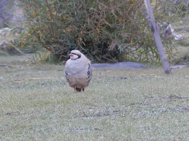
Morning coffee.
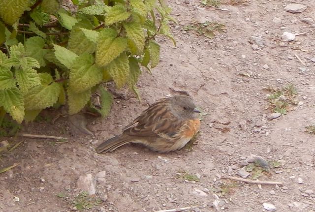
These curious (and common) ground birds dropped by. Are they Chukar partridge?
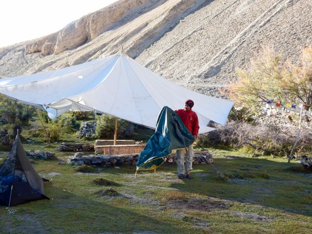
Sergei packs up his small cycling tent.
We were surprised when a Tibetan woman appeared asking for 150 rupees each. It had seemed the campsite (dirty and without a toilet) was closed for the season. Apparently not.
Official campsites seem to cost 600 Indian rupees in 2015. Unofficial ones 150 Indian rupee. Both overpriced compared with homestays, we felt. (900 rupees including 3 meals)
UP and off.


I tried to keep up with Sergei. It wasn’t easy. Especially since I had been exhausted the day before keeping pace.

On the other hand, we were fairly compatible. Both keen and very independent hikers.
I found the dry Markha valley gorgeous. Sergei missed trees.

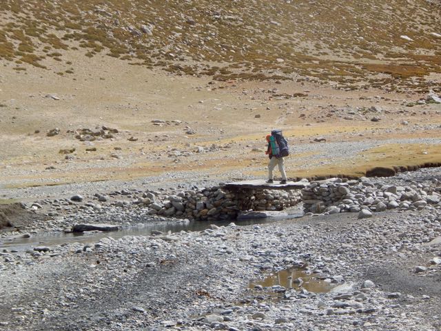
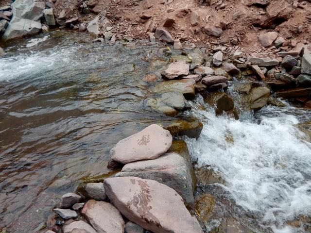
River crossings were actually a relief. Heat emergency is a real risk here.

I changed footwear. Sergei plunged through.
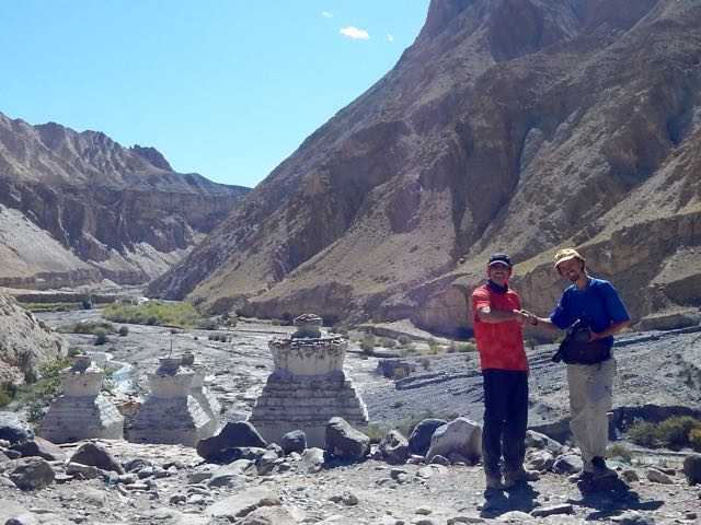
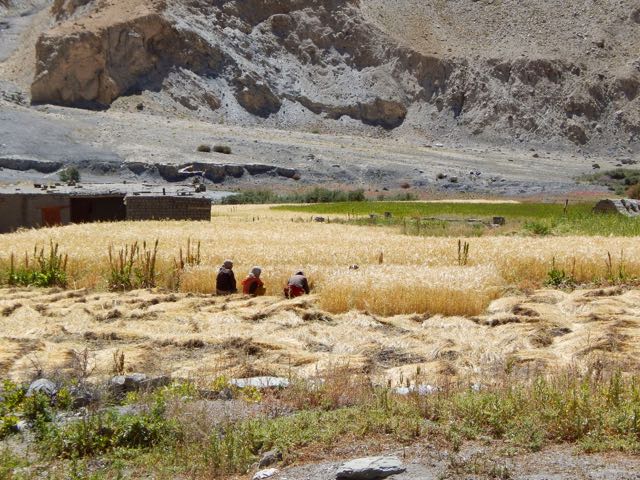
We’d anticipated Markha village 3806m to be somehow more impressive than the other villages. But it was very quiet. Harvest was in progress. Everyone in the fields.


So we continued.


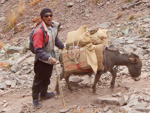
Horses are the most popular pack animal here. Followed by donkeys.

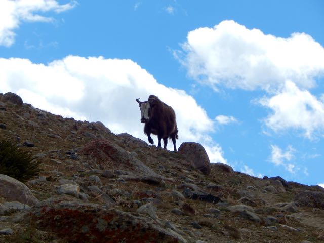
I didn’t once see a Yak or Yak hybrid used.
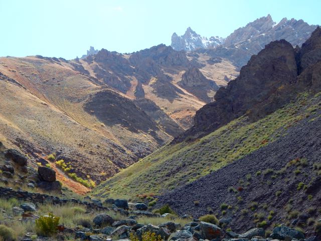
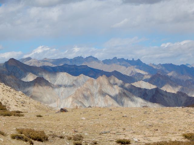
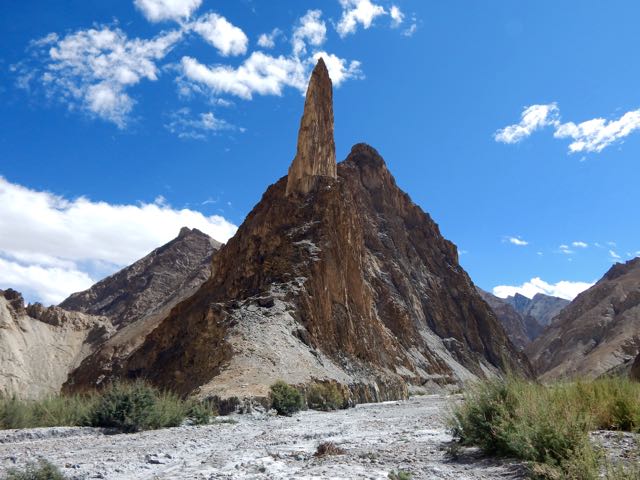
The geology here is stunning.

Sergei is an alpinist, having summited Lenin Peak. He was interested in these formations.


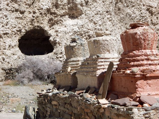
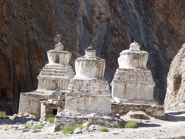
Though there are many impressive stupas and monasteries, it seems Ladakh does not have many monks.

This particular monastery does impress, however. Umlung Gompa 3890m, impossibly situated.

The parachute camp was closed. So we carried on.

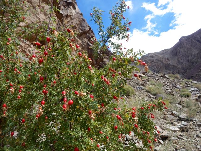
Seabuckthorn berries are everywhere. Used for jam and other local products.

Higher and drier.


We considered stopping near Hankar 3990m. But Sergei likes to walk until dusk. So he can set up his tent in the dark (for free) and not be hassled by passing locals. Everyone who walks past asks for 150 ruppee, even a monk … though the monk actually seemed to have “receipts” in his robes for the camping fee.
Exhausted and with sore feet, I finally put down my tent in the official camping at Thachungtse 4250m.
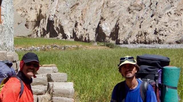
Sergei, lacking firewood to cook his dinner, decided to stay as well and use my gas stove.
See all my high resolution photos from this day on flickr.
day 0 | day 1 | day 2 | day 3 | day 4 | day 5 | day 6 | day 7 | info page
