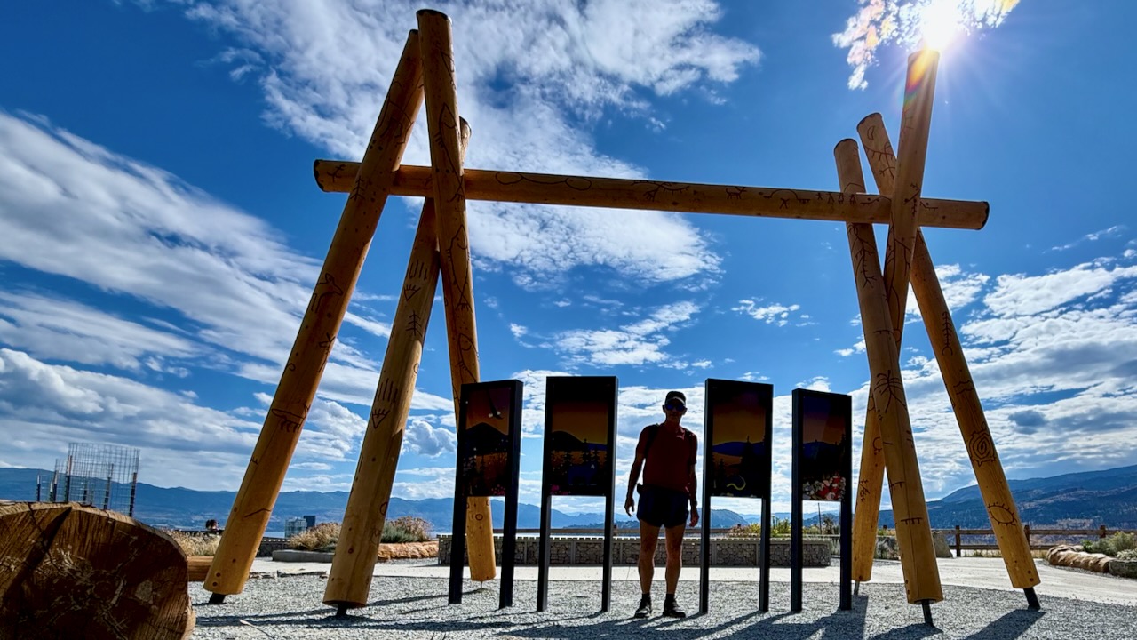
The world’s greatest living hiker, Cam Honan, along with Kate “Swept Away” Pickett, put together a route from Nevada to Colorado across Utah.
Highlights
Snow Canyon
Red Mountain Wilderness
Gooseberry Mesa
Canaan Mountain Wilderness
The Barracks
Great Chamber
Bryce Canyon NP – Under the Rim Trail, Peekaboo Loop, and Fairyland Loop.
Powell Point
Death Hollow
Egg Canyon
Upper and Lower Muley Twist Canyons
Cliff Point on the Waterpocket Fold
Stevens Canyon
Fold Canyon
Coyote Gulch
The Lizard Route out of Halls Creek
Grand Gulch and Bullet Canyon
Comb Ridge
Hovenweep National Monument
… a combination of cross country travel, 4WD tracks, rock scrambles, river wading, dirt roads, established trails, and a minimal amount on pavement. More often than not, directional choices were dictated out of geological and historical curiosity …
… water was one of the primary considerations when planning the trip. …
resupply a combination of mail drops and buying as we went …
Along with the America the Beautiful Entrance Pass, overnight camping permits were required for Bryce Canyon National Park, Grand Staircase/Escalante National Monument, Capitol Reef National Park, and Bears Ears National Monument.
June 2025, Kraig Adams hiked 50 miles alone over 4 days on the Ak-Suu Traverse in Kyrgyzstan — a remote and challenging route through the stunning Tian Shan mountains.
Huaraz is a trekkers’ paradise. On one side of the valley you have the White Mountains (Cordillera Blanca). On the other side, the Black Mountains (Cordillera Negra). We hike the White Mountains, mountain bike the Black Mountains.
And only a short distance away is the remote, high Cordillera Huayhuash, ideal for hard core trekkers.
Huaraz is located in the central-northern part of the country at an altitude of 3052 m (10,013 feet), some 420 km north of Lima. Huaraz sits in the agriculturally important Callejón de Huaylas valley, at the foot of the Cordillera Blanca mountain range, which includes Huascarán, the highest mountain in Peru at 6768 m (22,204 feet). …
On May 31, 1970 the Ancash earthquake destroyed much of Huaraz, killing 10,000 people. Almost nothing was left of the old city with its narrow streets and big adobe casonas roofed with tiles. The main square was the only major structure that survived the earthquake so the city was rebuilt around it. …
Huaraz is connected to the rest of the country through the Panamerican Highway (187 km north of Lima) and can be reached from Lima … in seven hours. …
Huascarán National Park is a popular destination for tourism and trekking. Huaraz is a frequent base for expeditions to the Cordillera Blanca and Huayhuash. …
The population of the greater area is over 100,000 though you’d never guess it was that big. Huarez retains the feeling of a remote mountain town.
Our favourite hike in the high Andes. Doing it independently only recommended for confident, self-sufficient hikers experienced at high altitude. It’s remote.
AT A GLANCE
Peru
circle sacred Ausangate massif(6372m, 20,905ft), the highest peak in southern Peru
4 high passes between 4757m – 5165m
70km (43.5mi) plus sidetrips
almost everyone does Ausangate with a guide, but it’s quite doable independently if you are acclimated
many options to extend this trek
best months are the May-September dry season
Tinqui is 5-8 hours now only about 3.5hrs by bus on a new road, about 100km S.E. of Cusco