
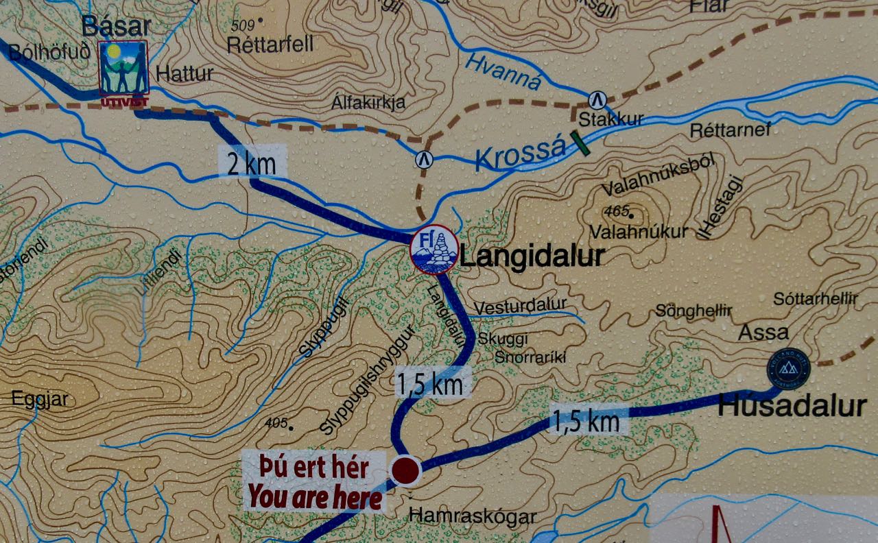
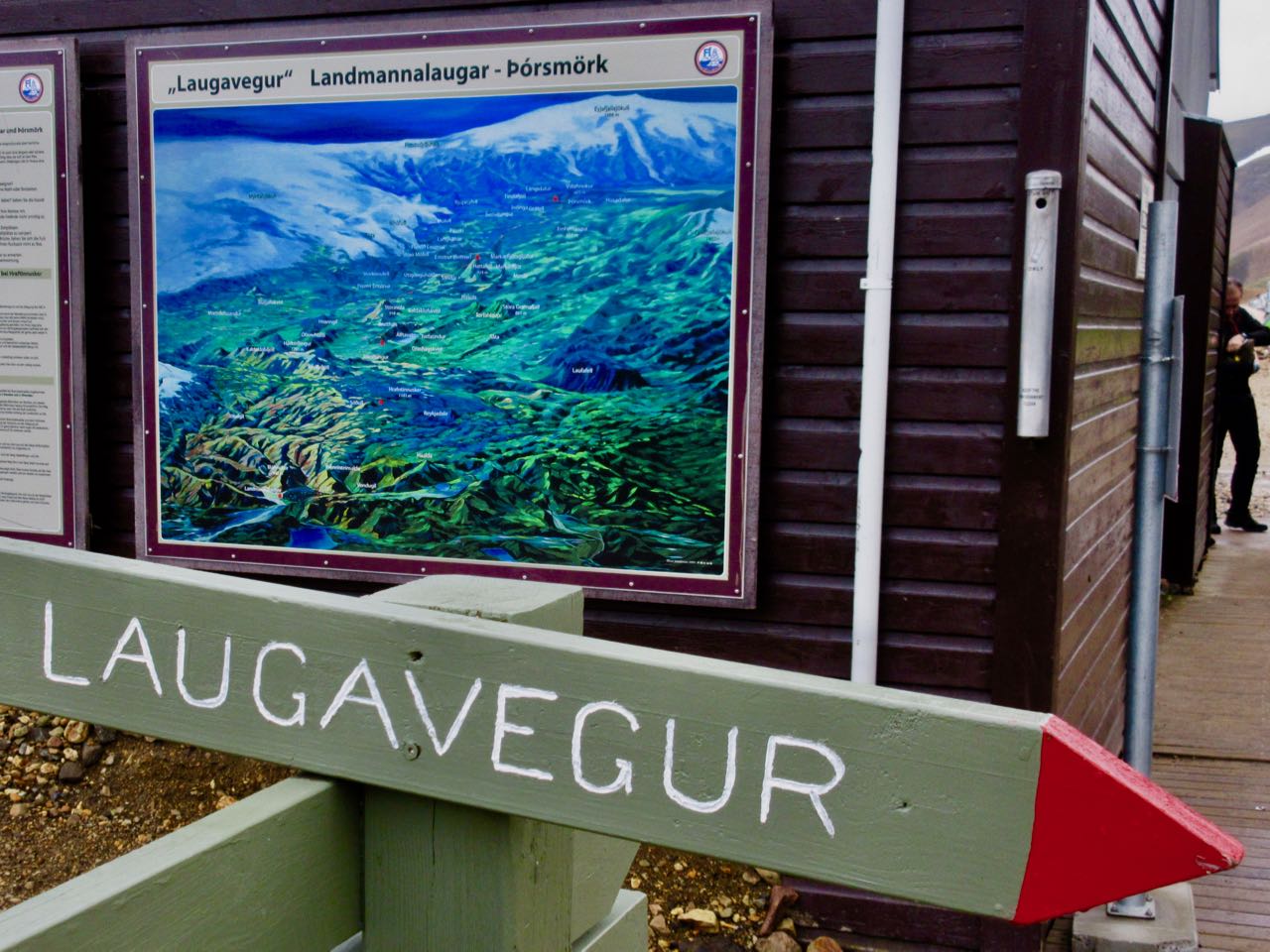
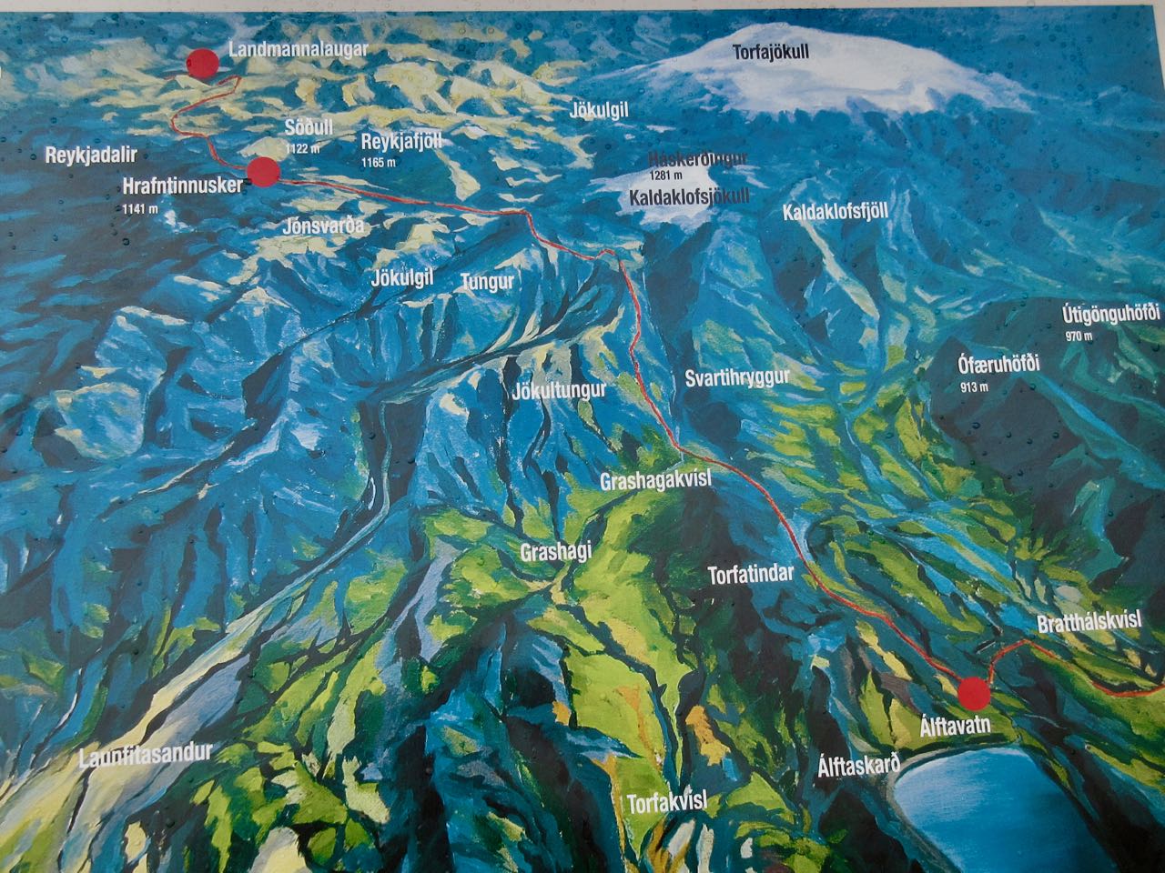
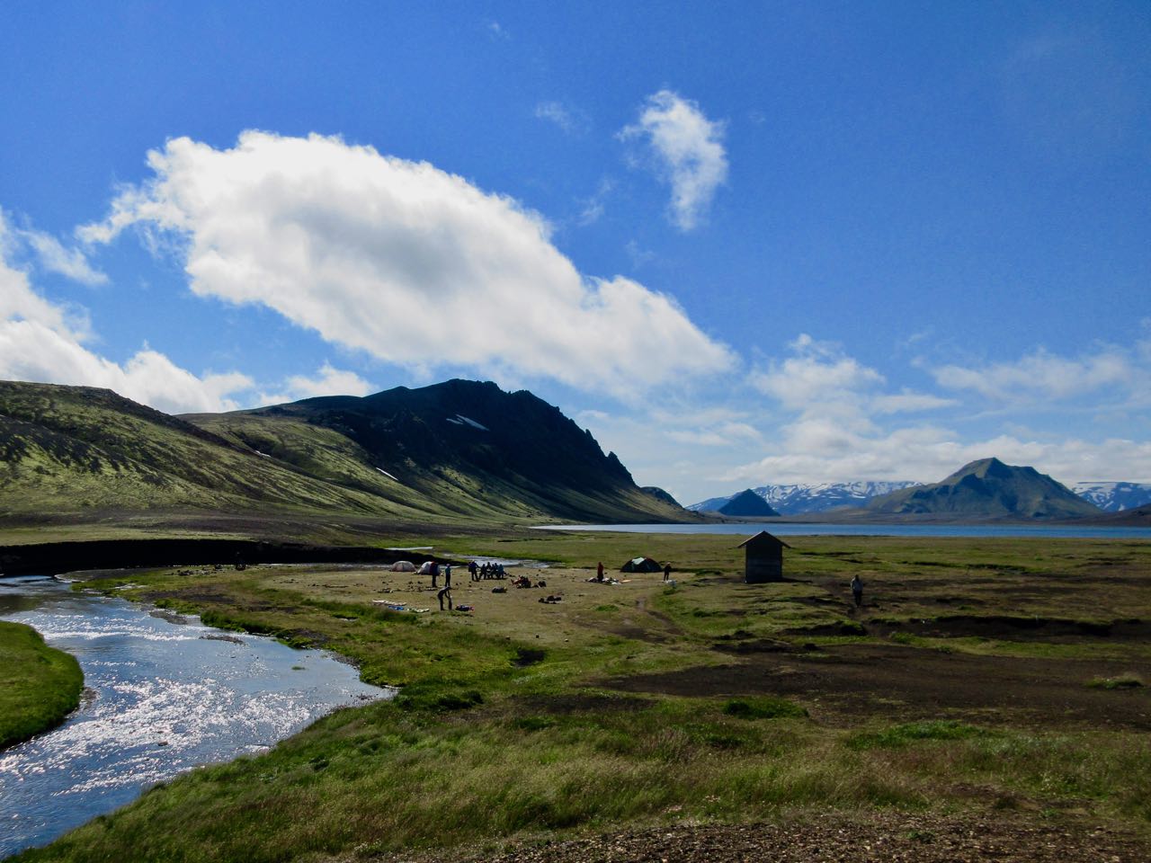
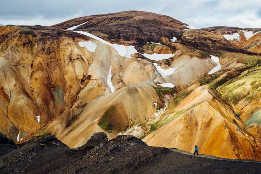
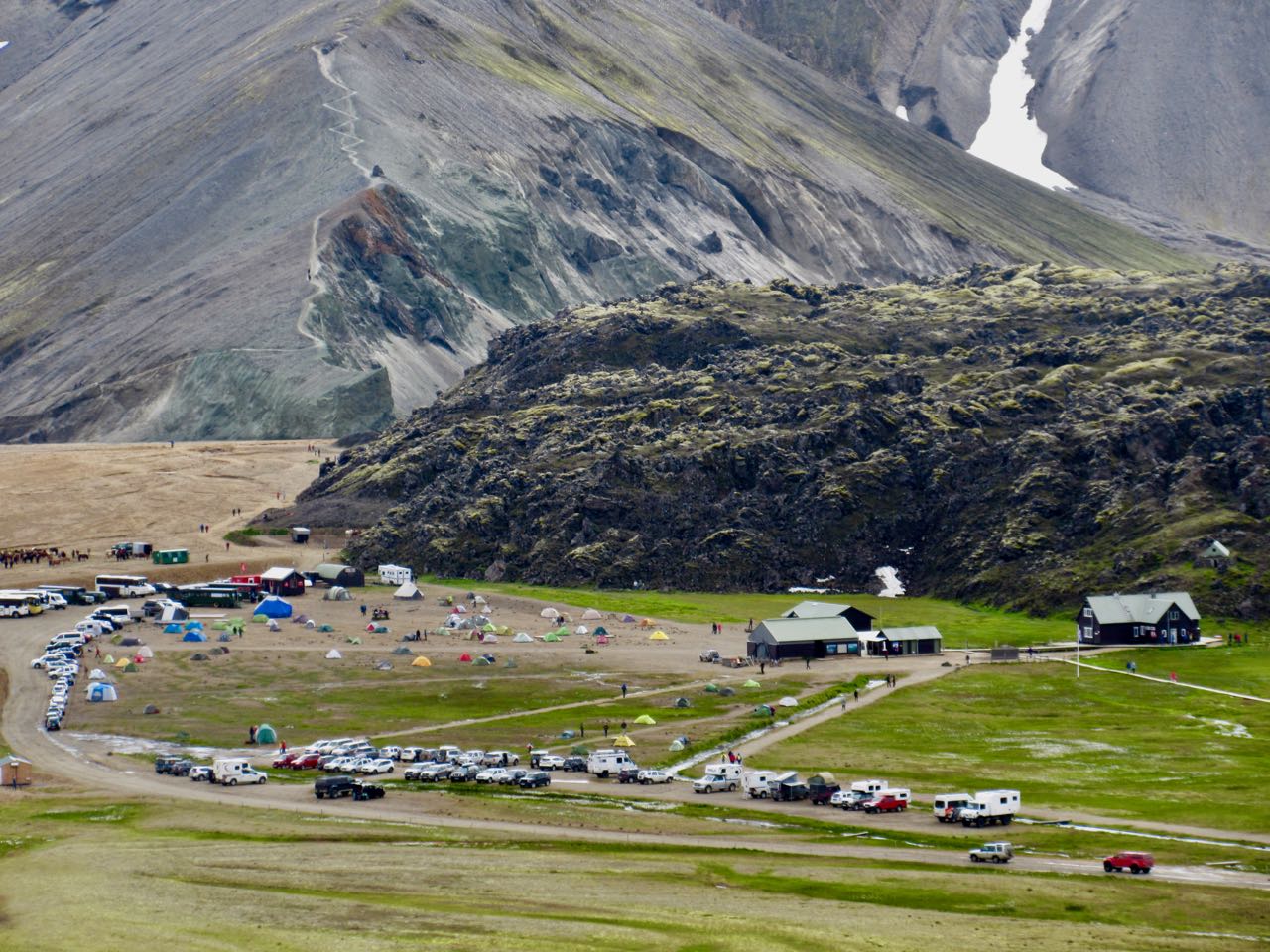
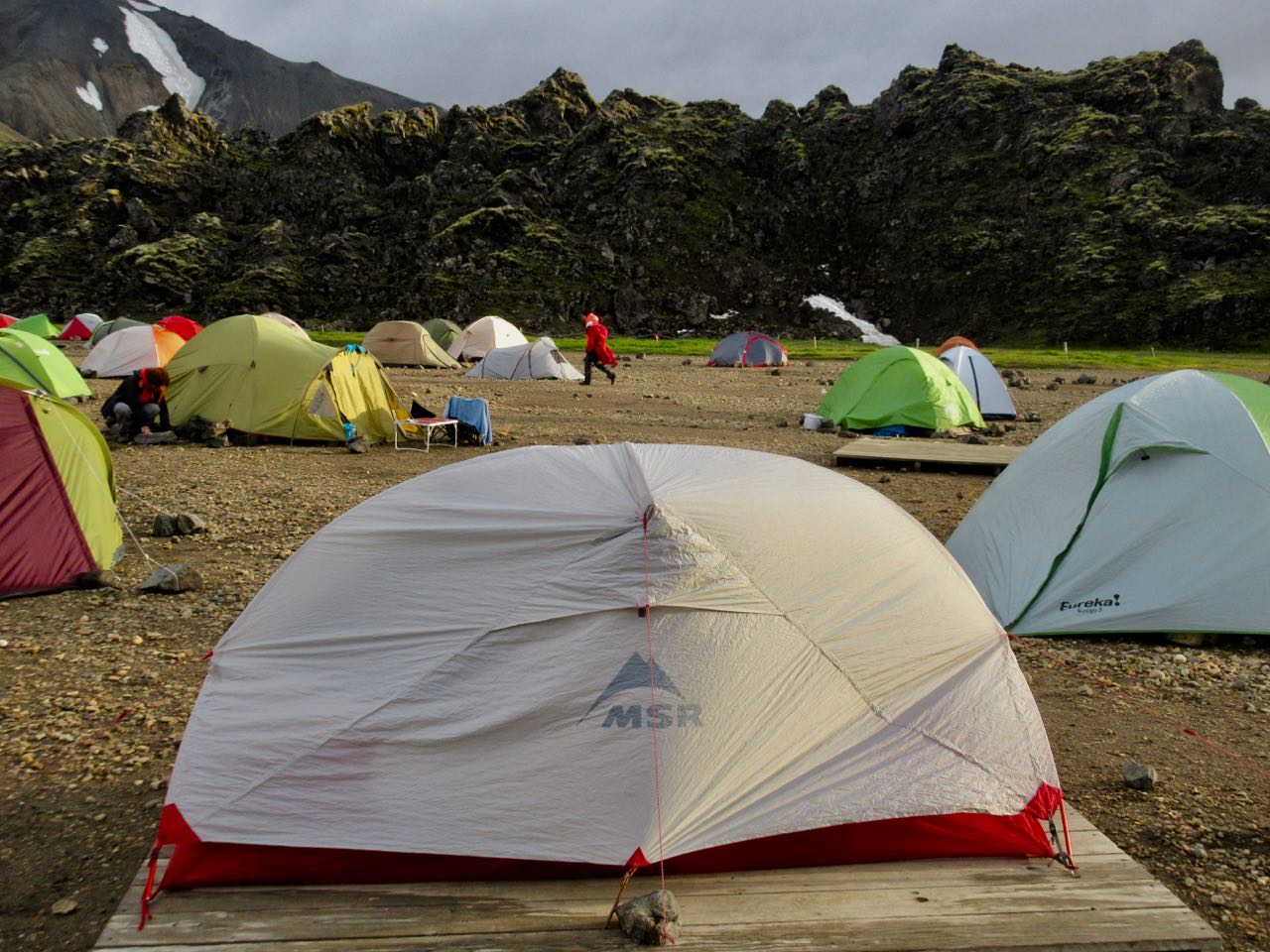
Day 0 | Landmannalaugar | 1 | 2 | 3 | video | info
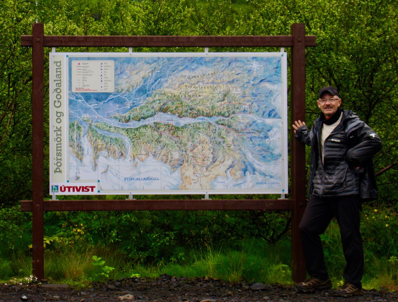
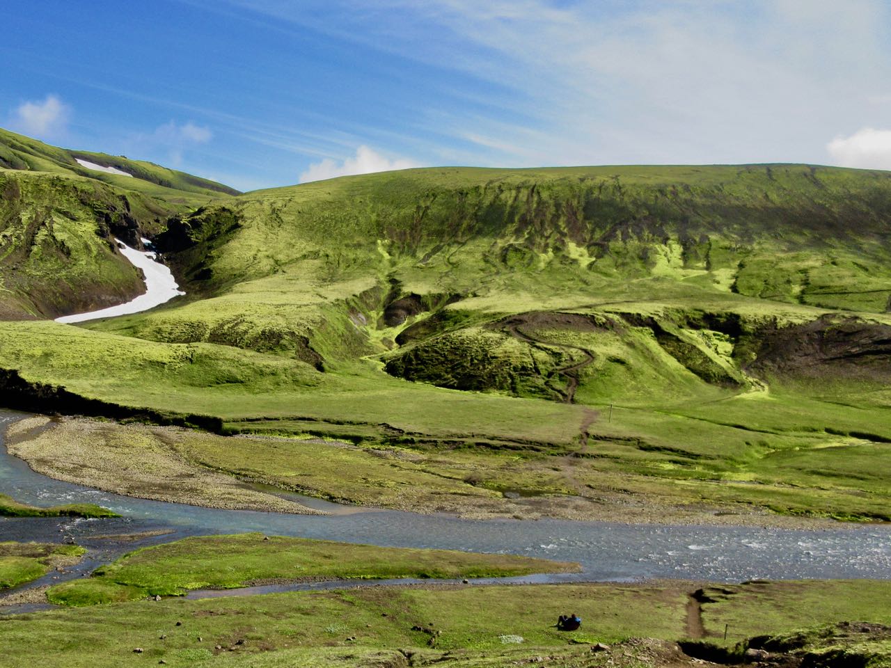
day 3 – Þórsmörk (Básar) to Skógar
25km, 10-12hrs
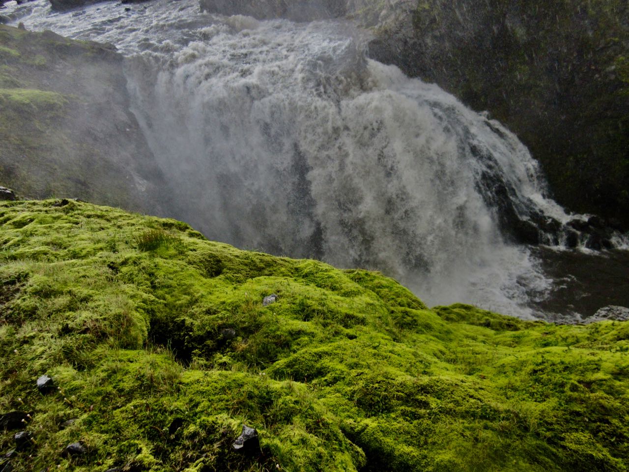
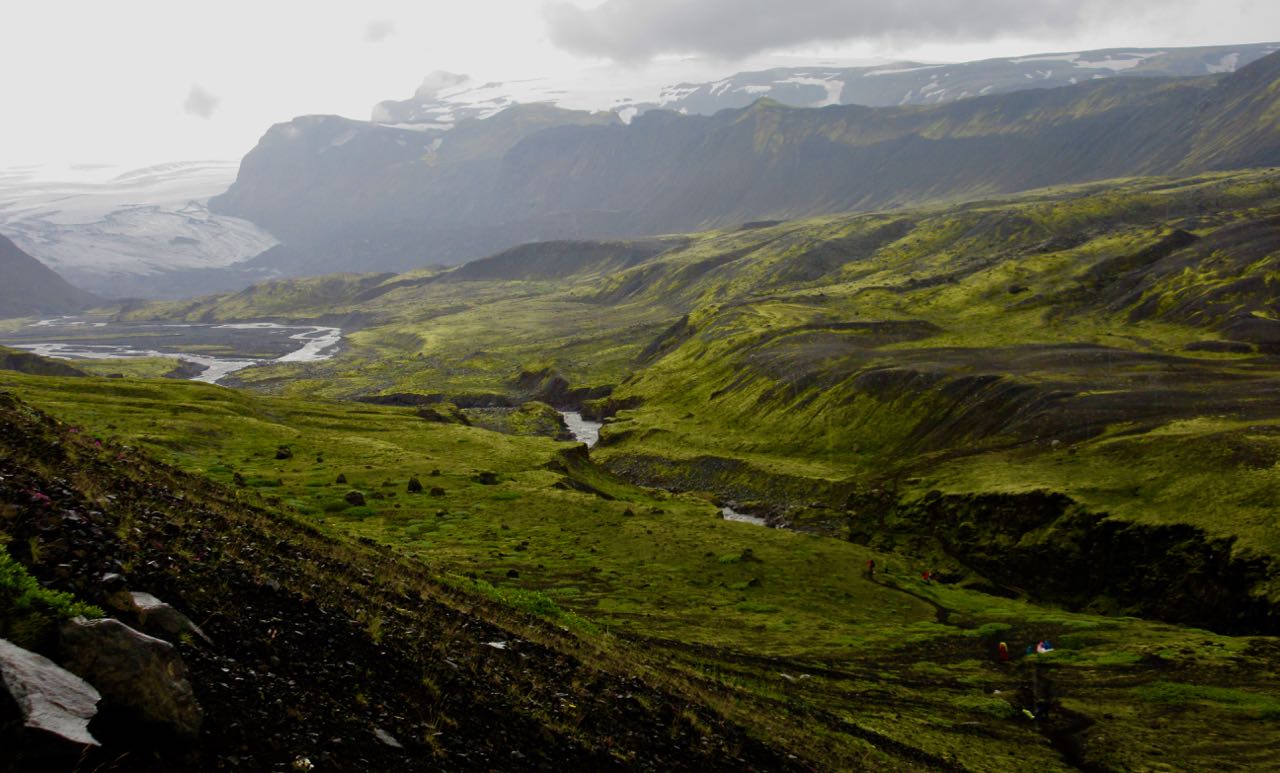
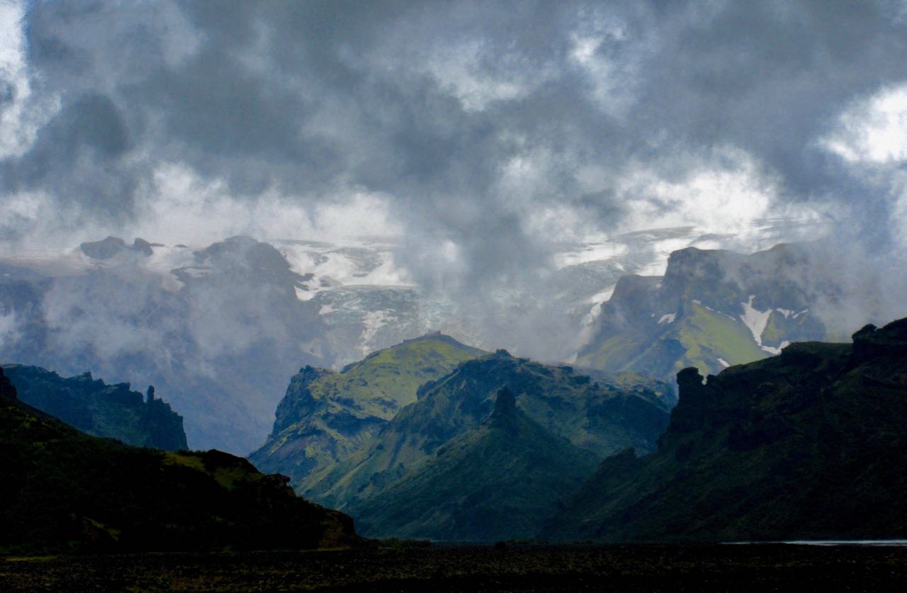
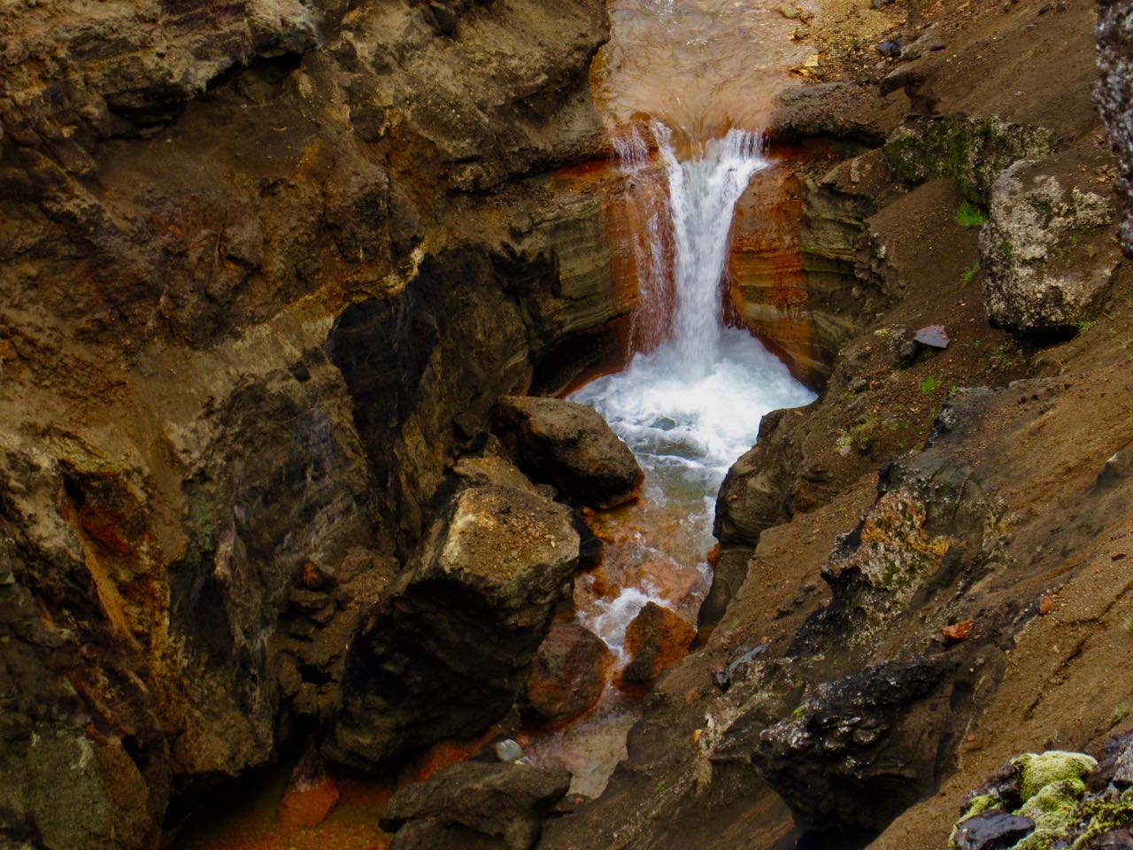
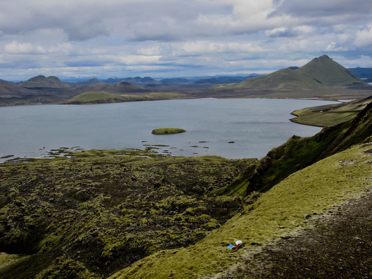
When I think back on Laugevagur, my first thoughts are of the amazing waterfalls on the last day. Is there a more spectacular chain of falls anywhere else on Earth?
Happily, the weather was quite good when I woke early. Then a thunder storm rolled in and disappeared before I’d finished coffee.
Later I learned that Mark was already up high. Very nervous. There’s no place to hide from lightning in Iceland.
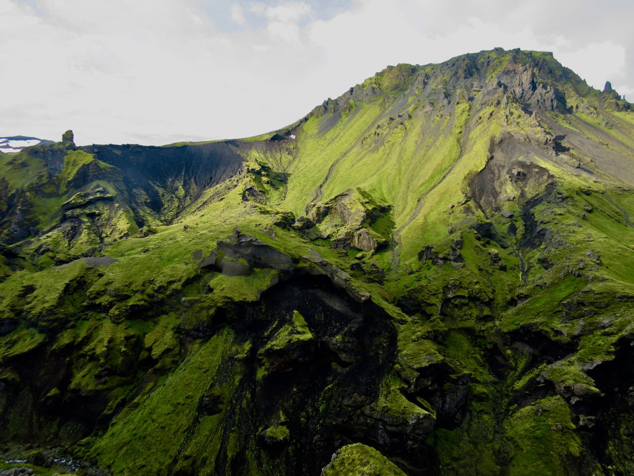
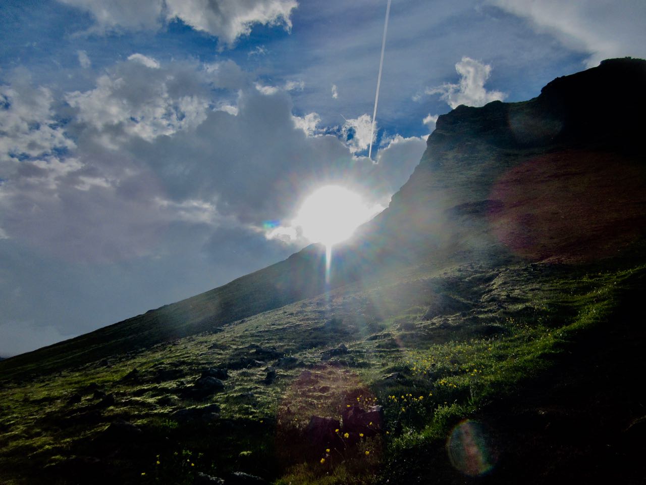
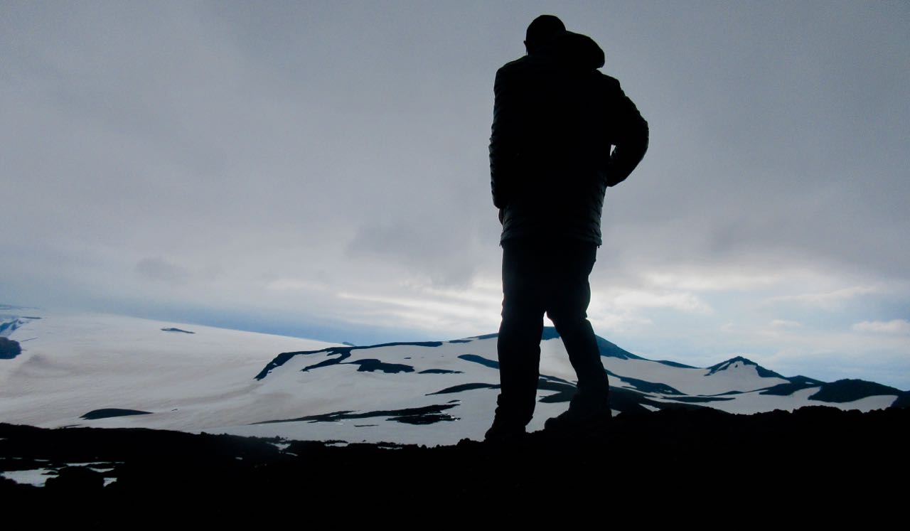
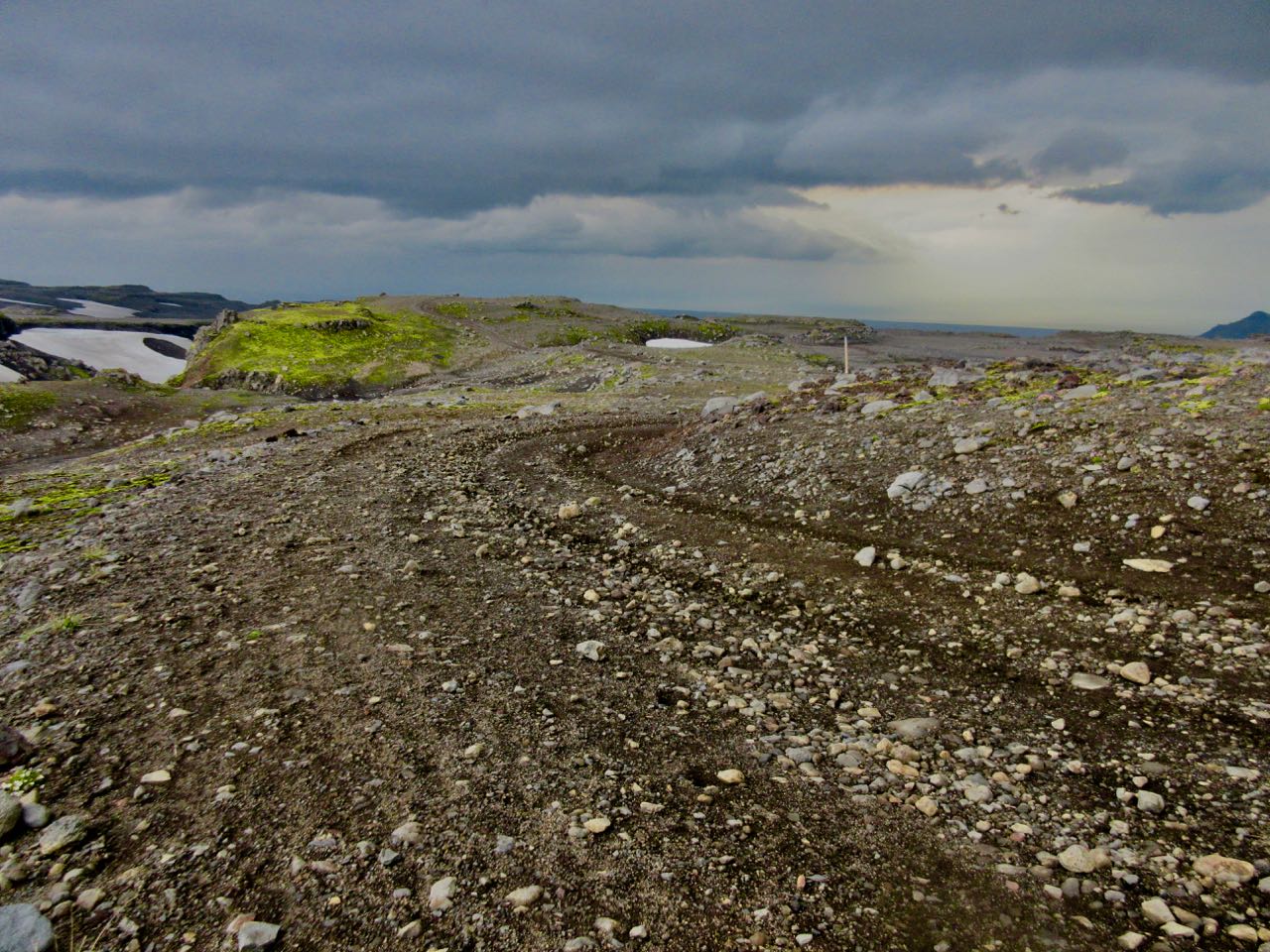
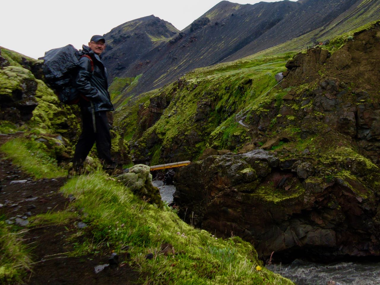
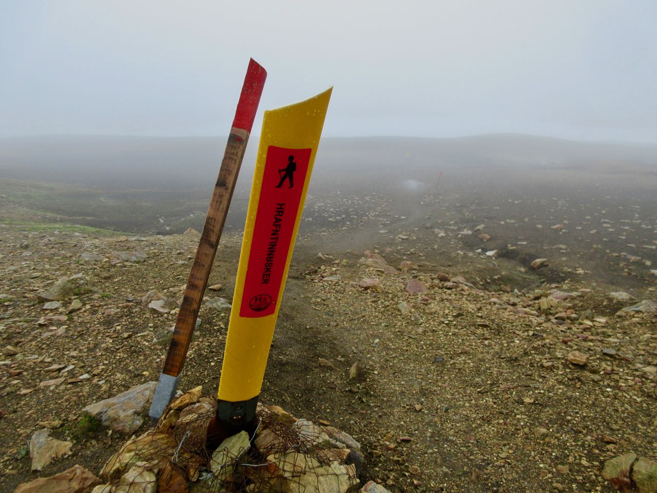
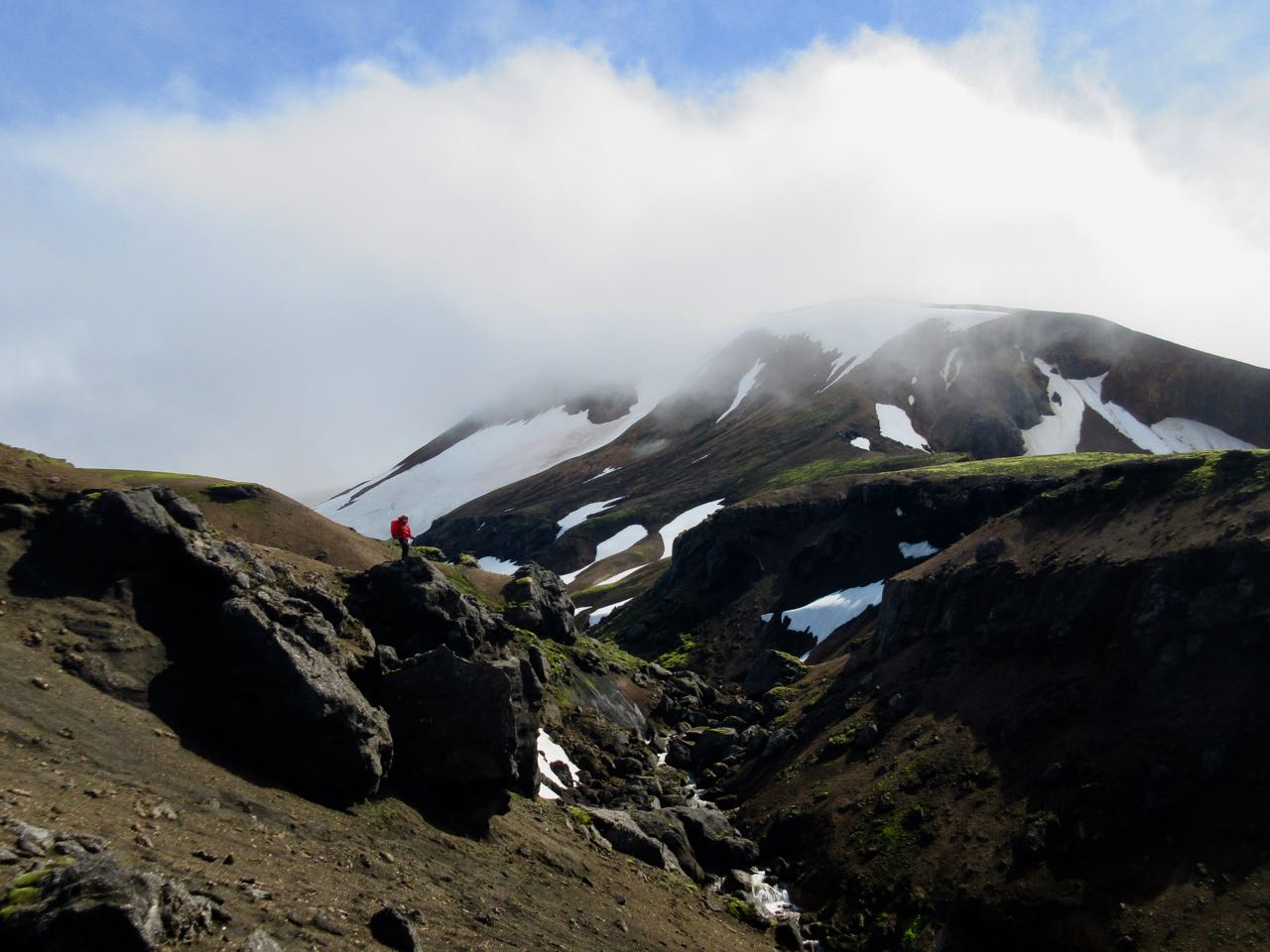
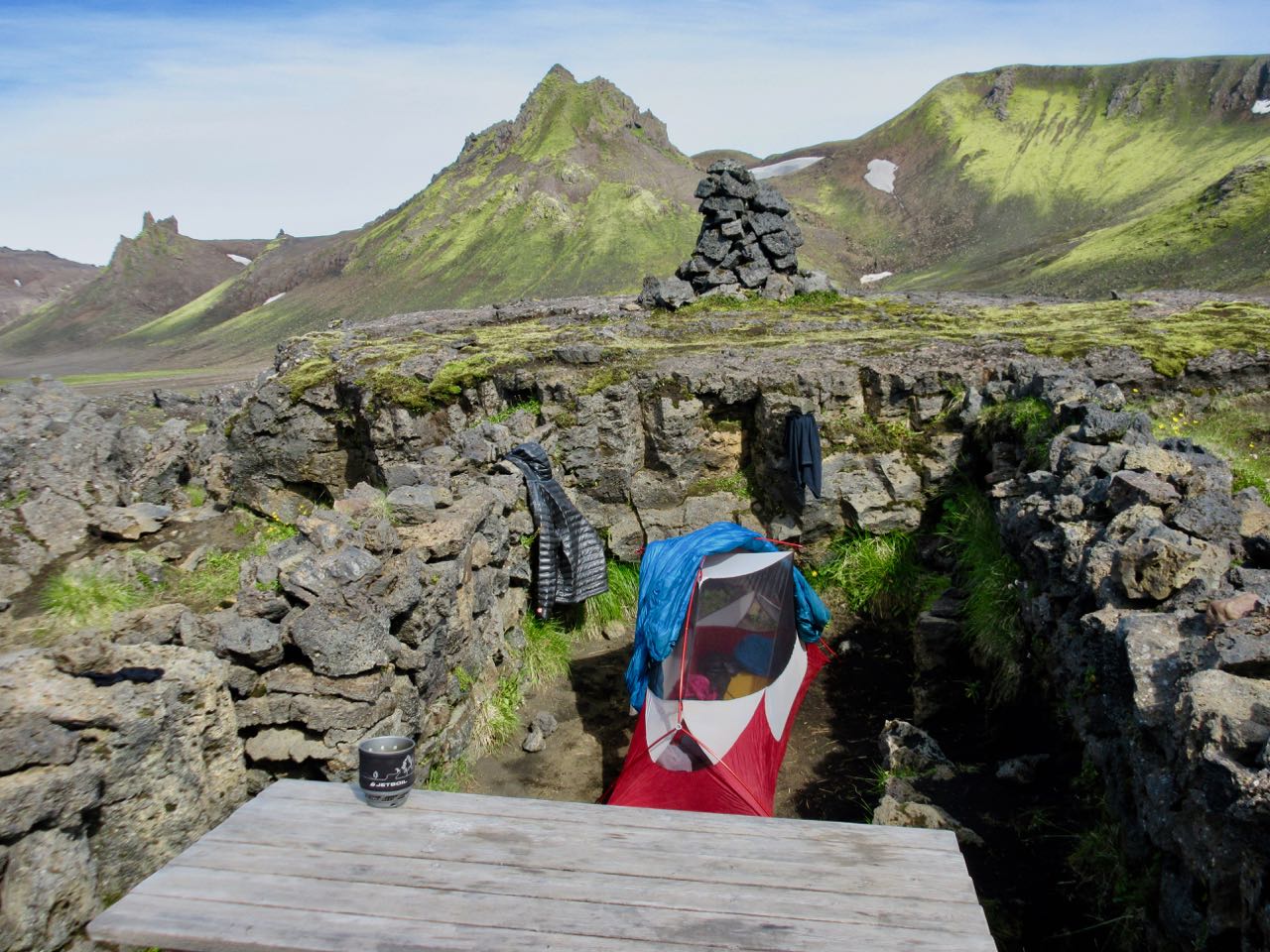
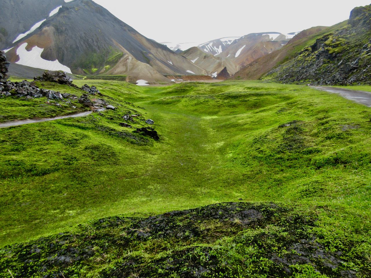
Here I was psyching up for the 900m climb to Fimmvörðuháls pass.
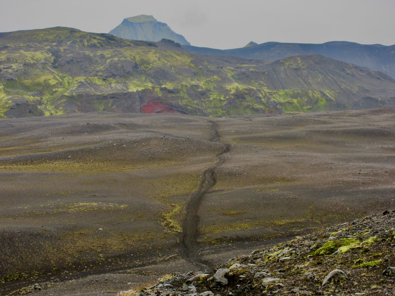
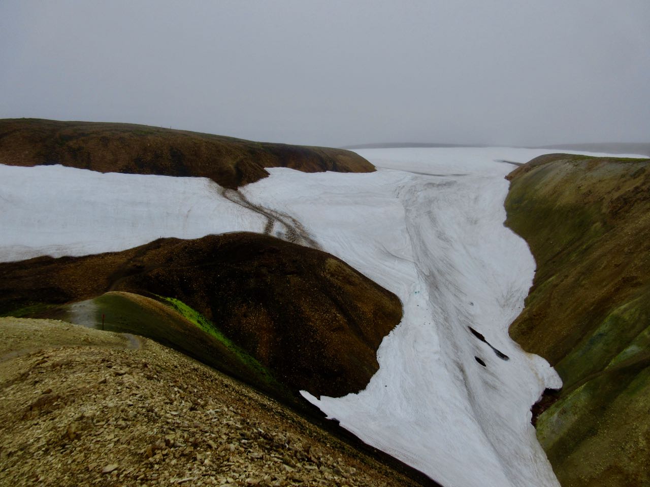
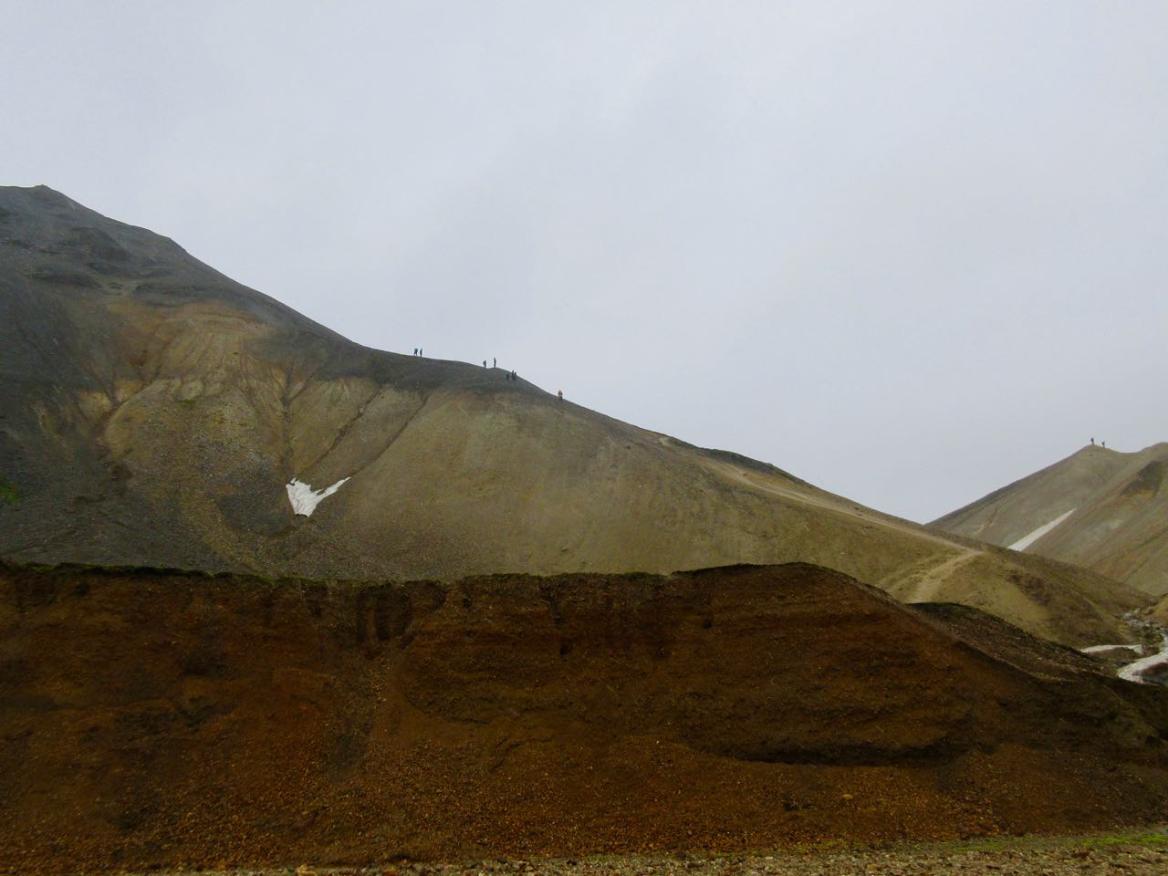
I knew it could be a long, tough day climbing to the icefields up on a high plateau. It’s the most glaciated section. But at least there are NO RIVER CROSSINGS!

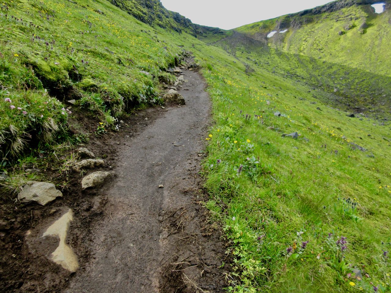
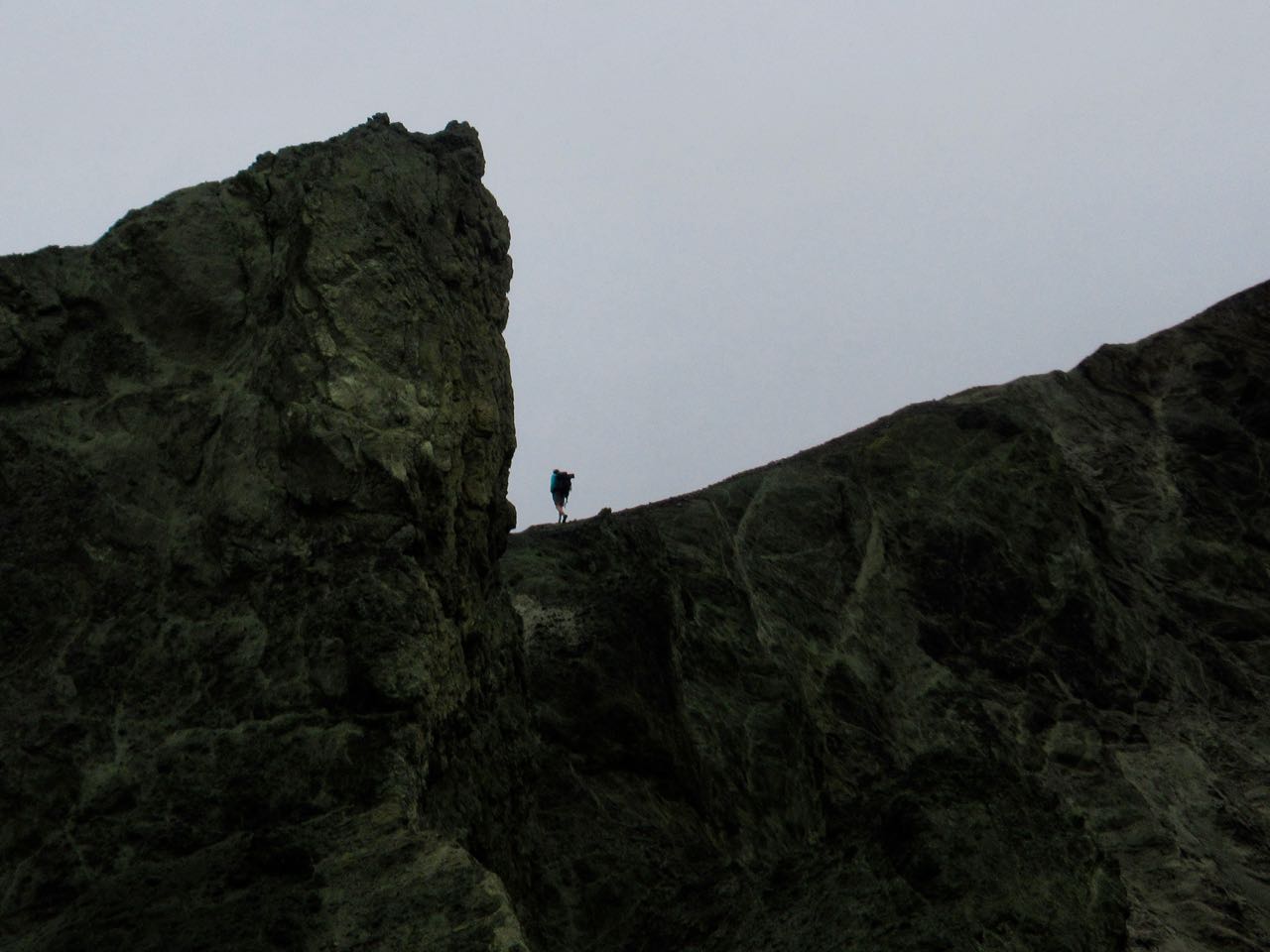
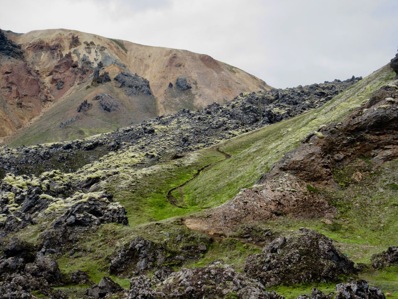
The ascent was quite easy, as it turned out.
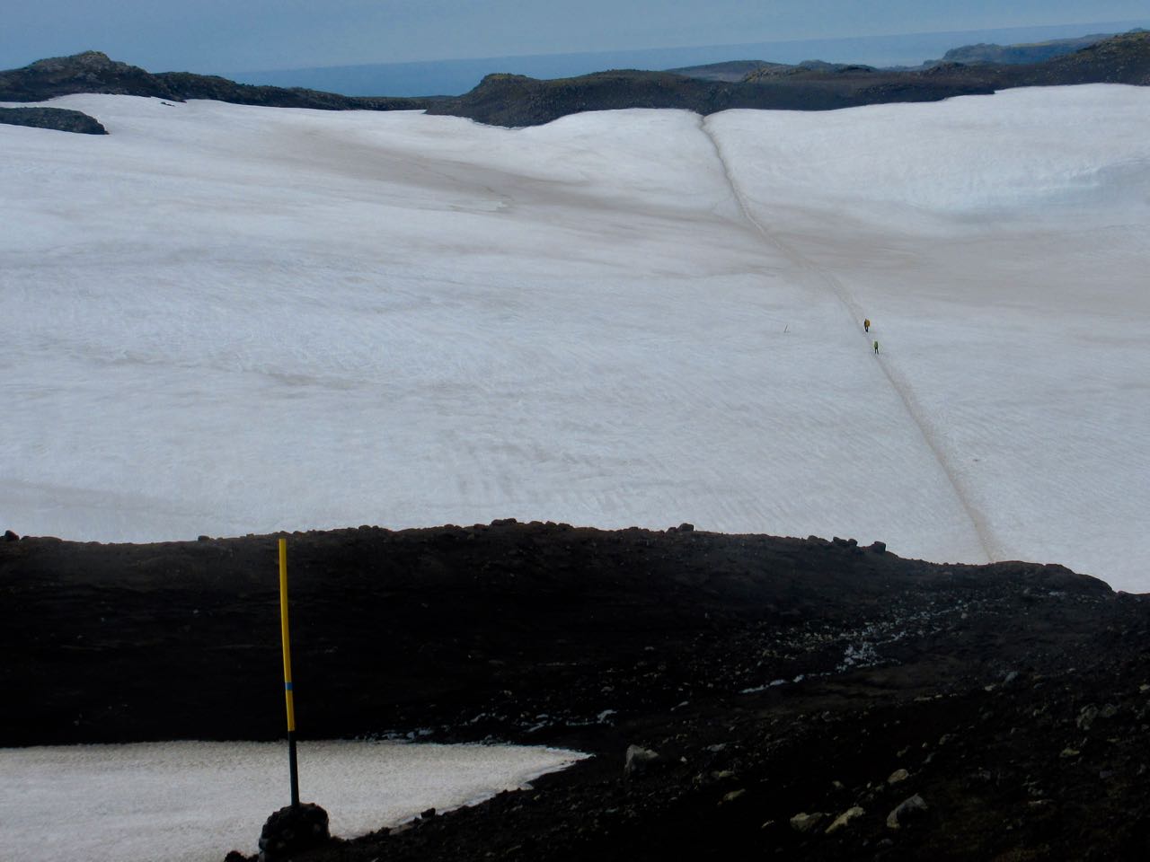
What’s this?
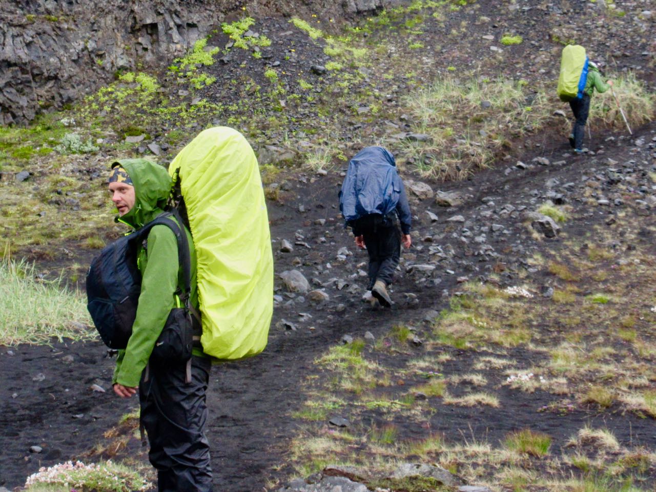
These were the first hikers I saw coming the other direction. Doing this with a day pack is quite popular.
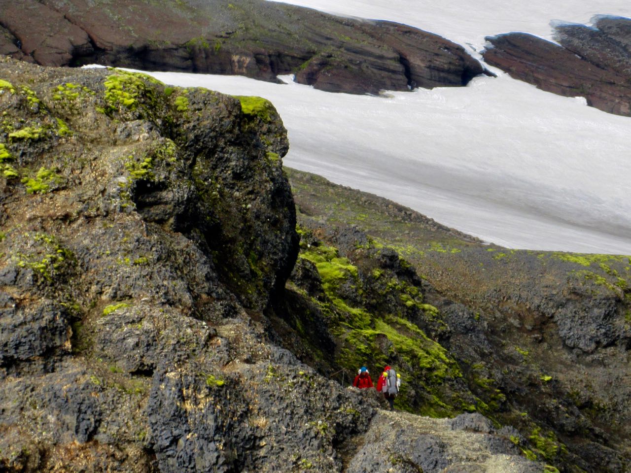
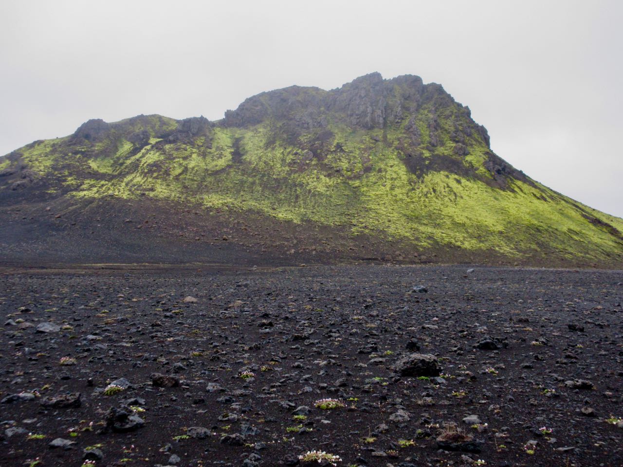
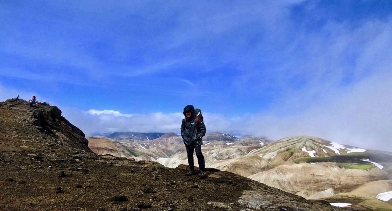
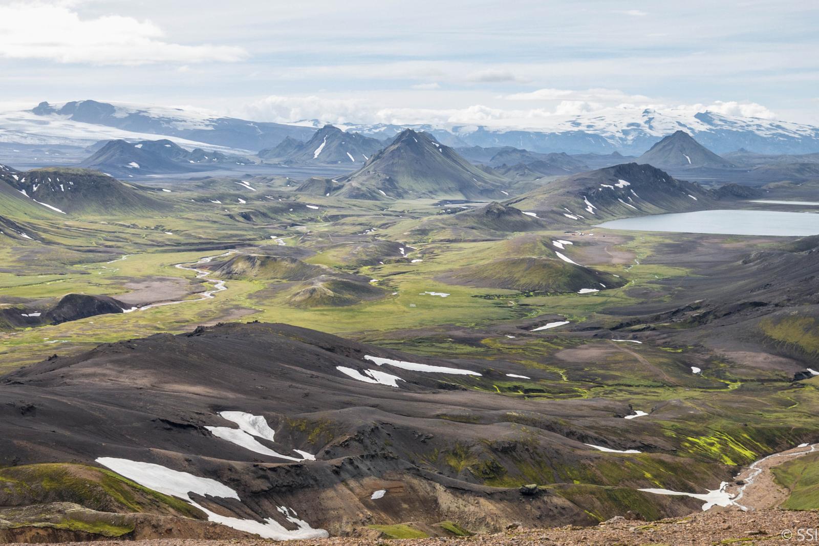
Stunning views.
Recall the 2010 volcano that disrupted air traffic all over Europe?
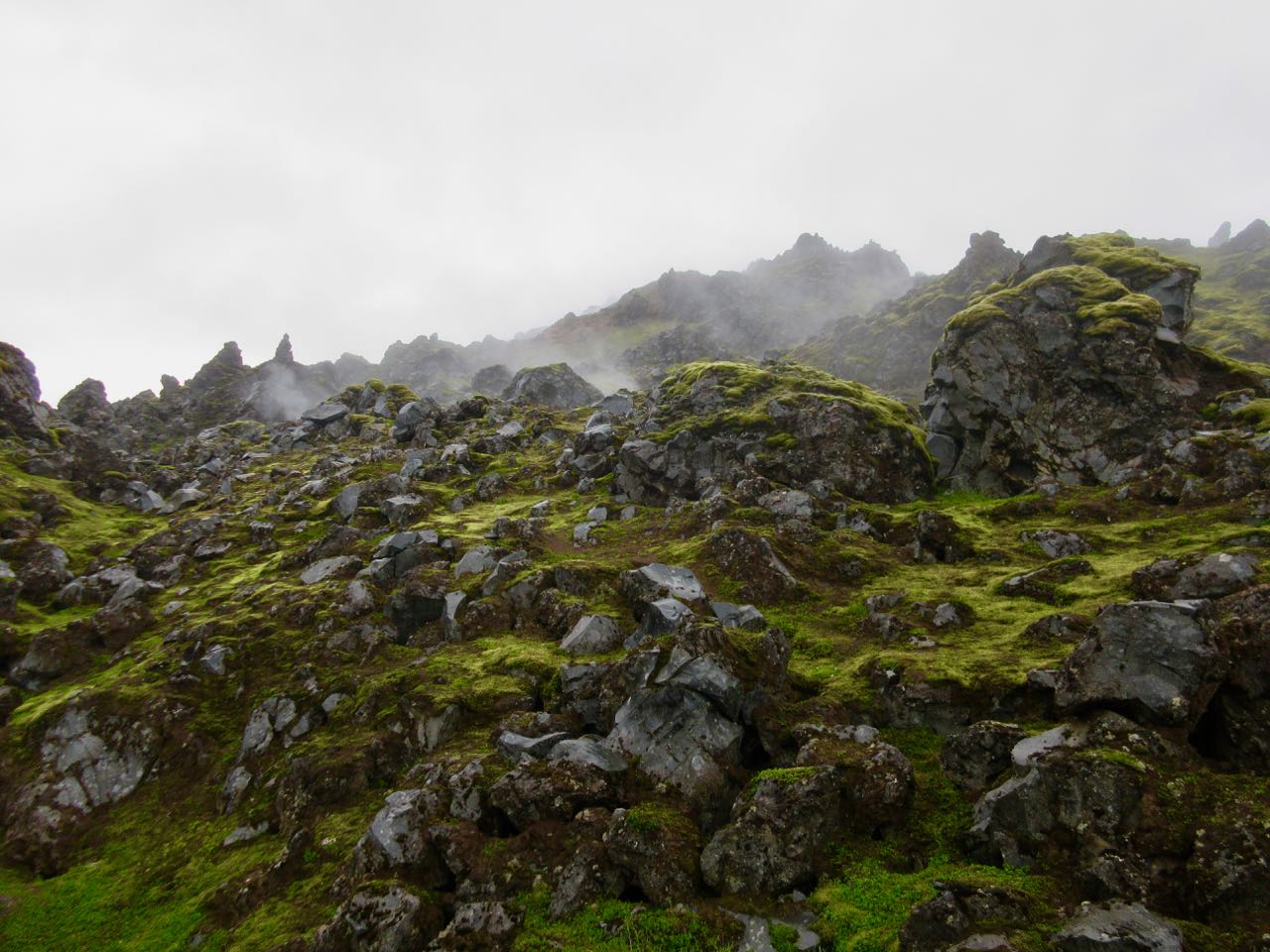
This is it. You walk that massive lava flow.
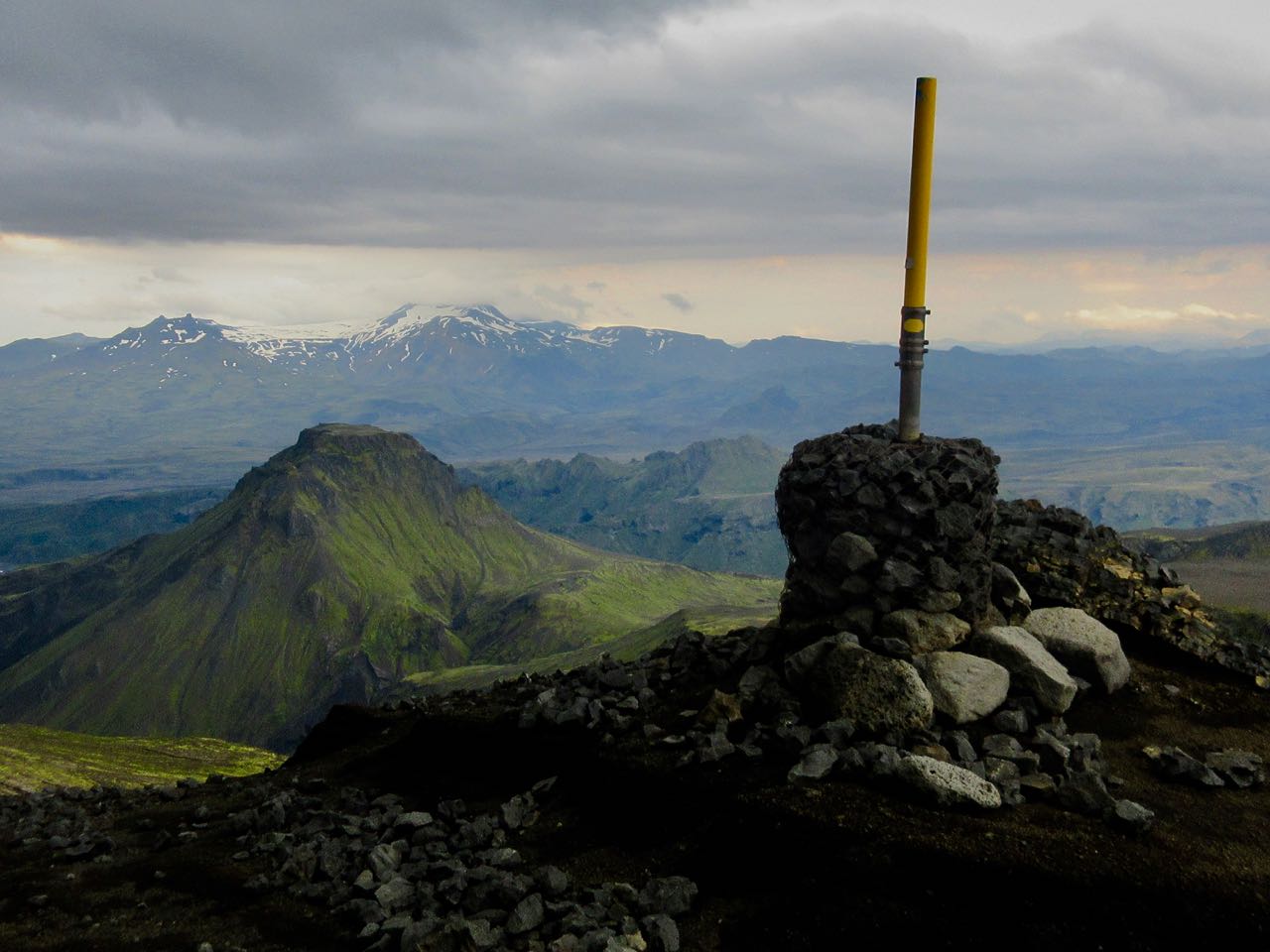
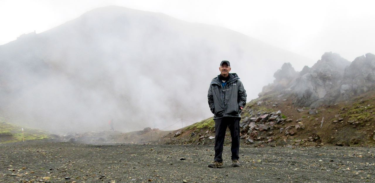
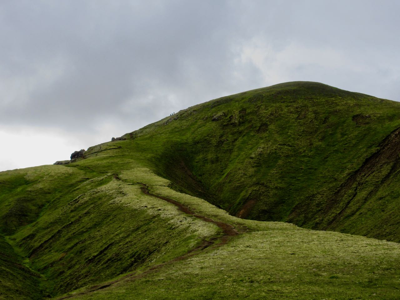
Moodi and Magni (Thor’s sons) are two summit cones pushed up in 2010.
Everyone climbs Magni to enjoy the 360 degree view.
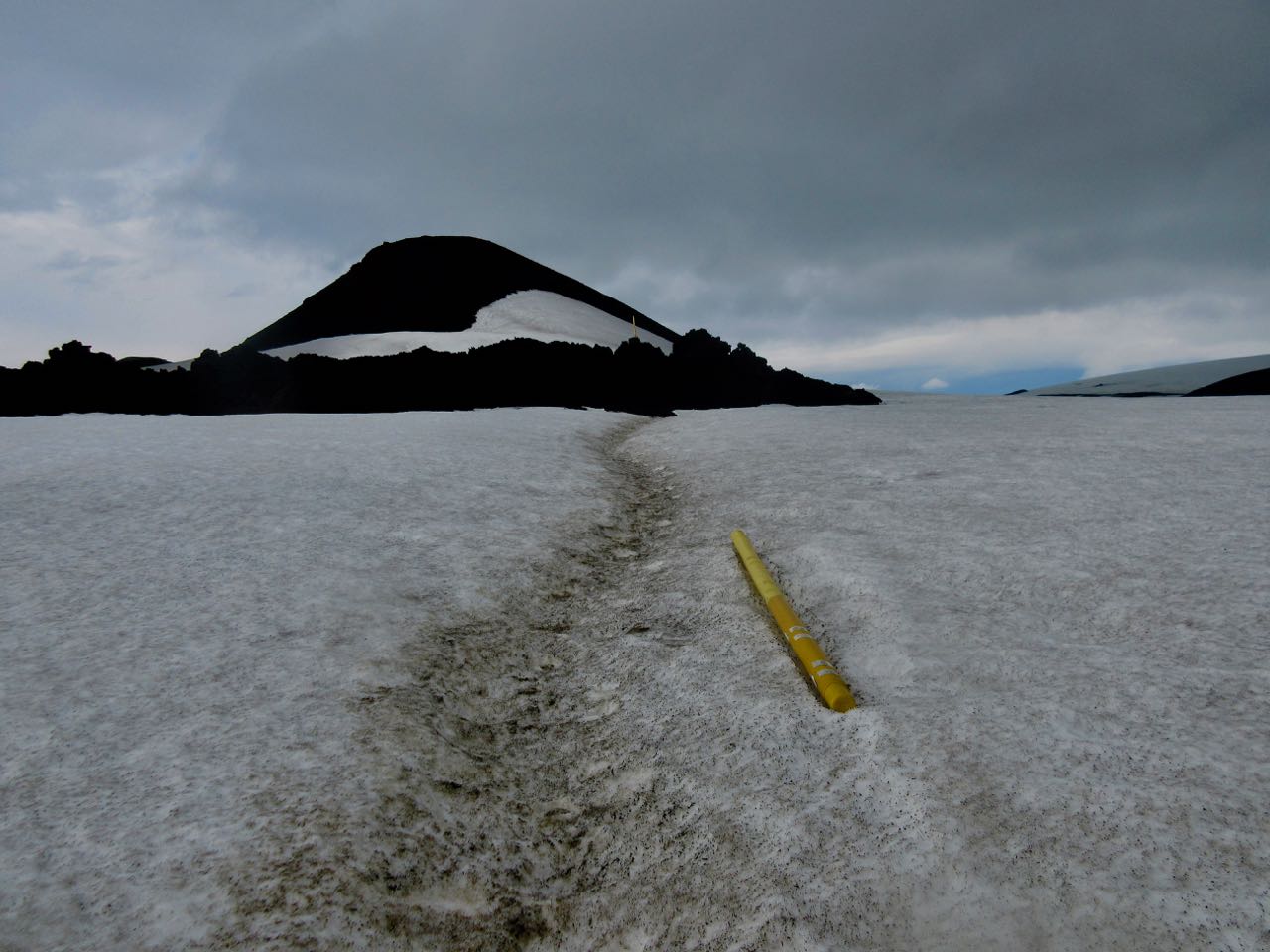
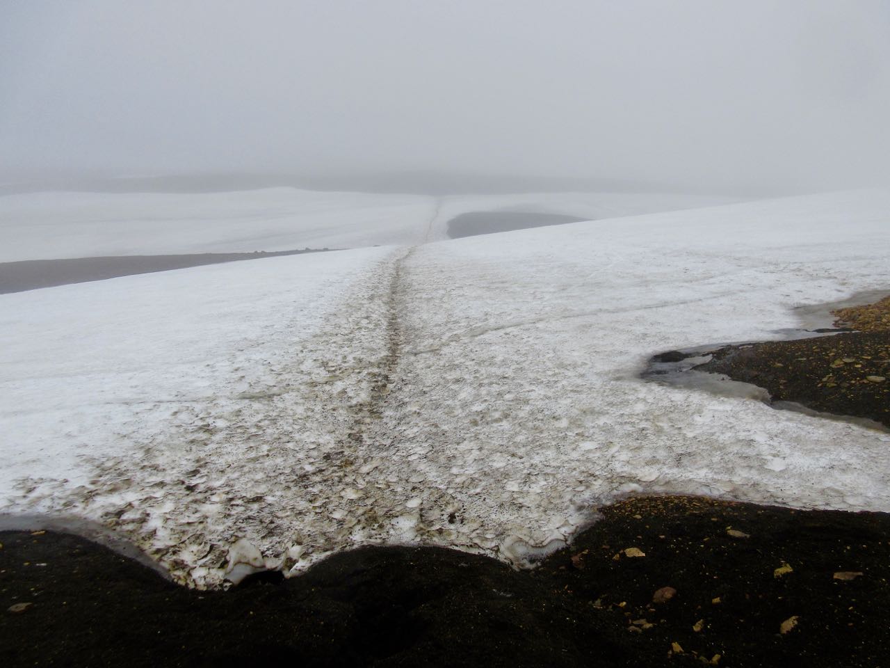
One worry late in the season is the snowfields turning to slush. Or water.
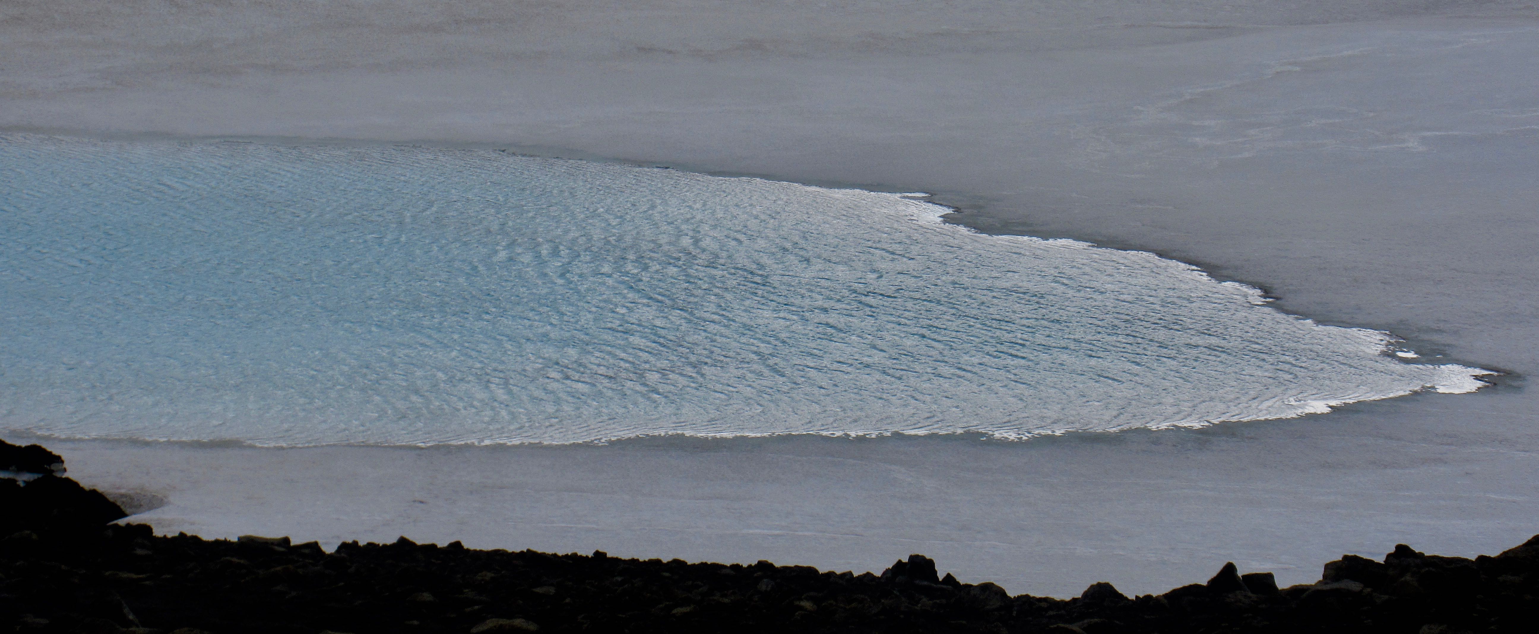
Happily, it was still good walking for me on July 29th.
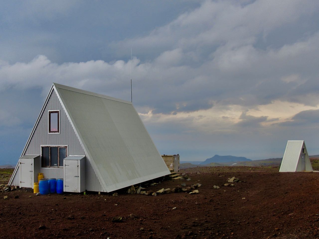
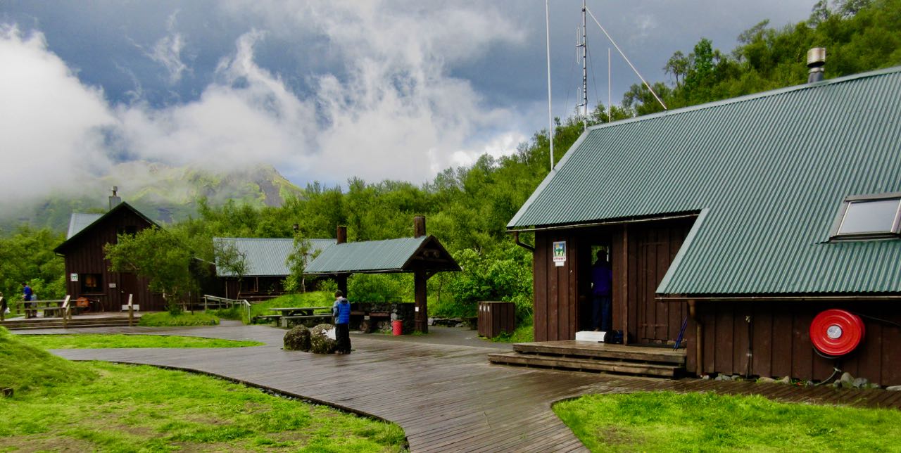
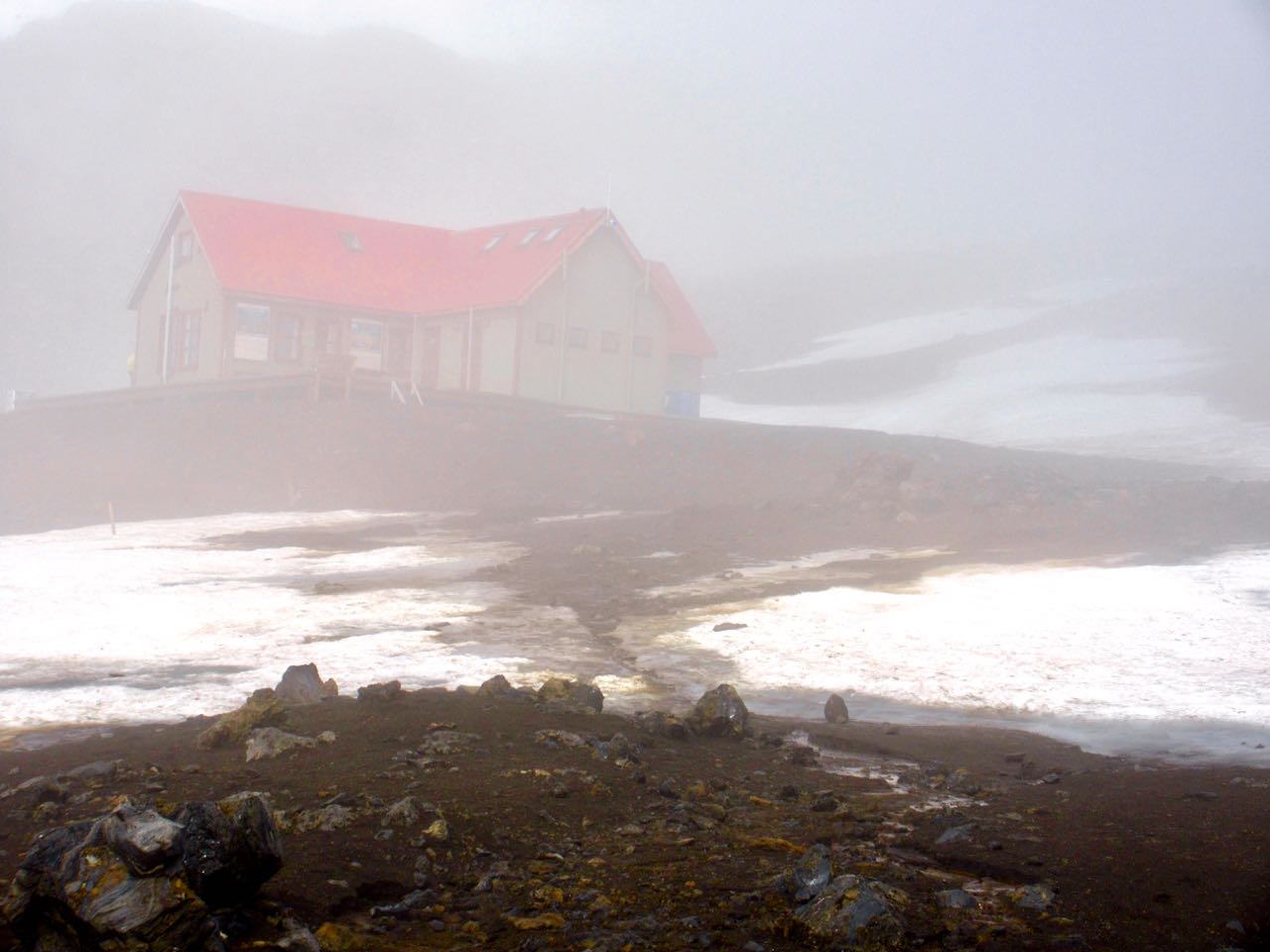
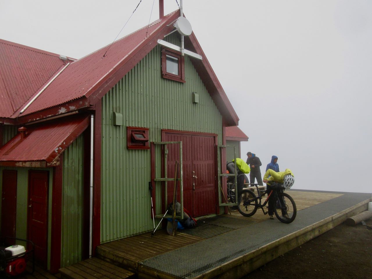
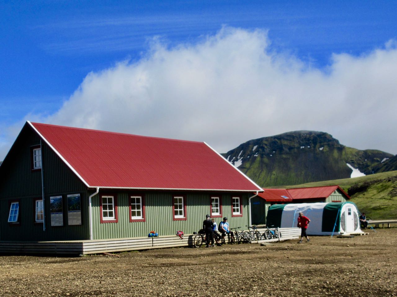
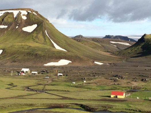
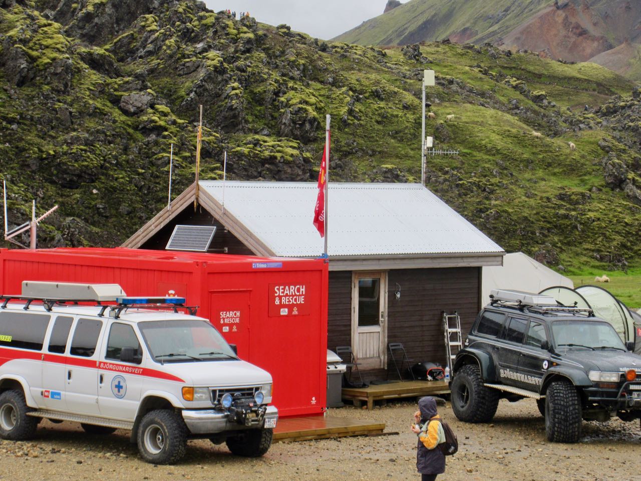
Baldvinsskali is a small emergency hut en route. Hikers are allowed to escape the wind and elements if needed.
My only complaint about this hiking day is some road walking on the way down. I’d prefer they make a parallel walking trail.
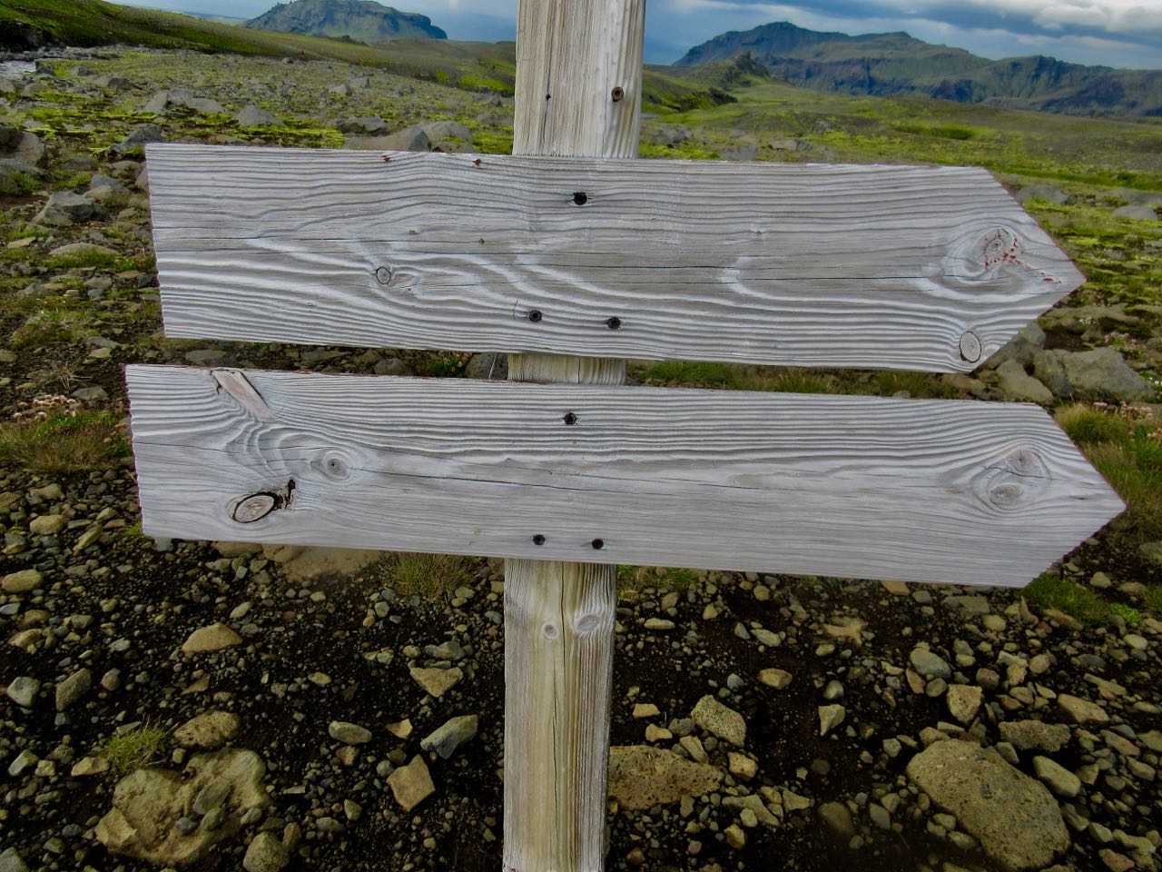
How far to Skógar?
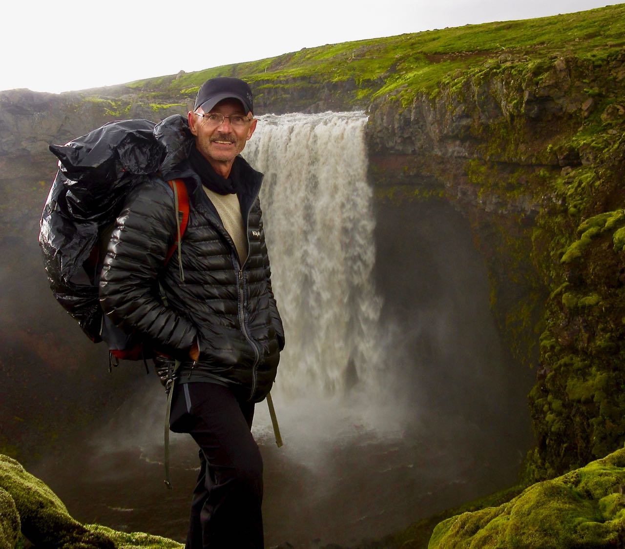
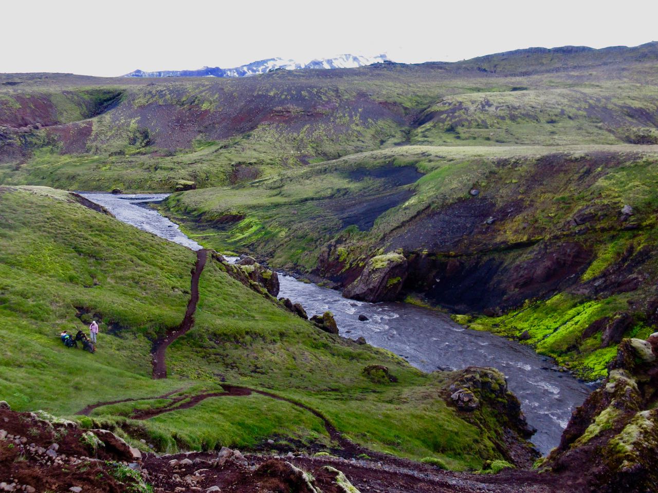
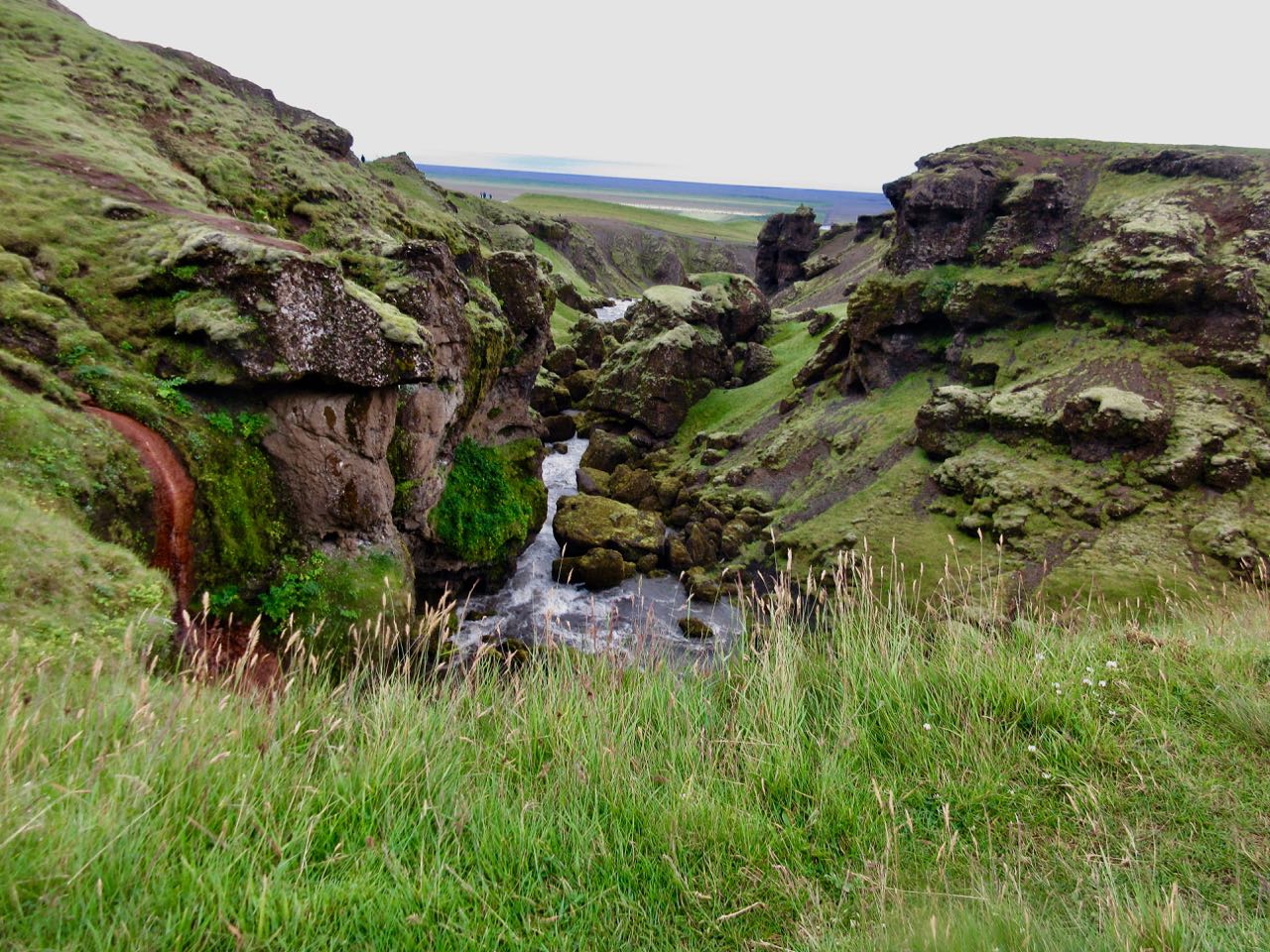
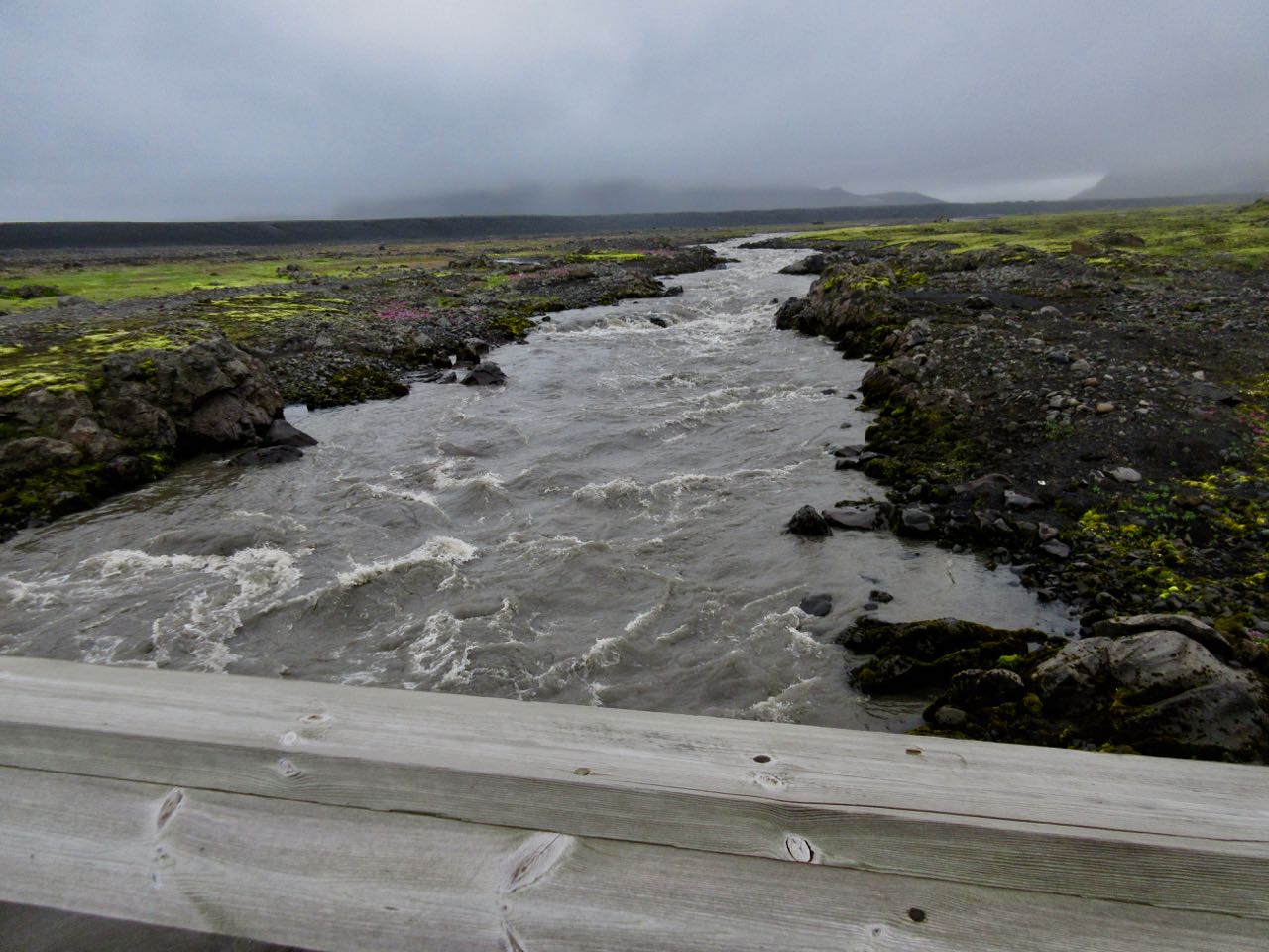
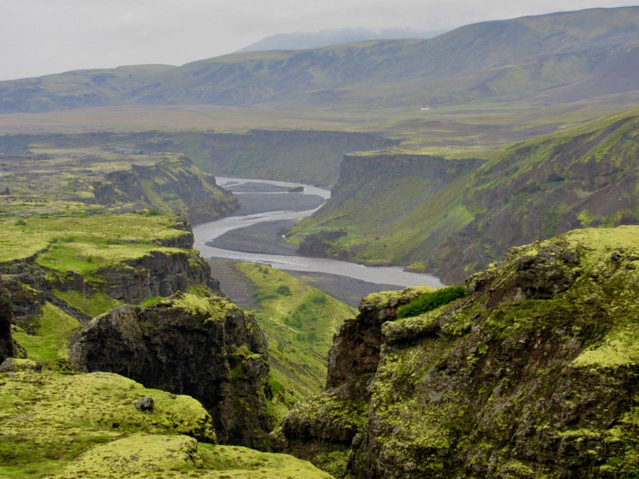
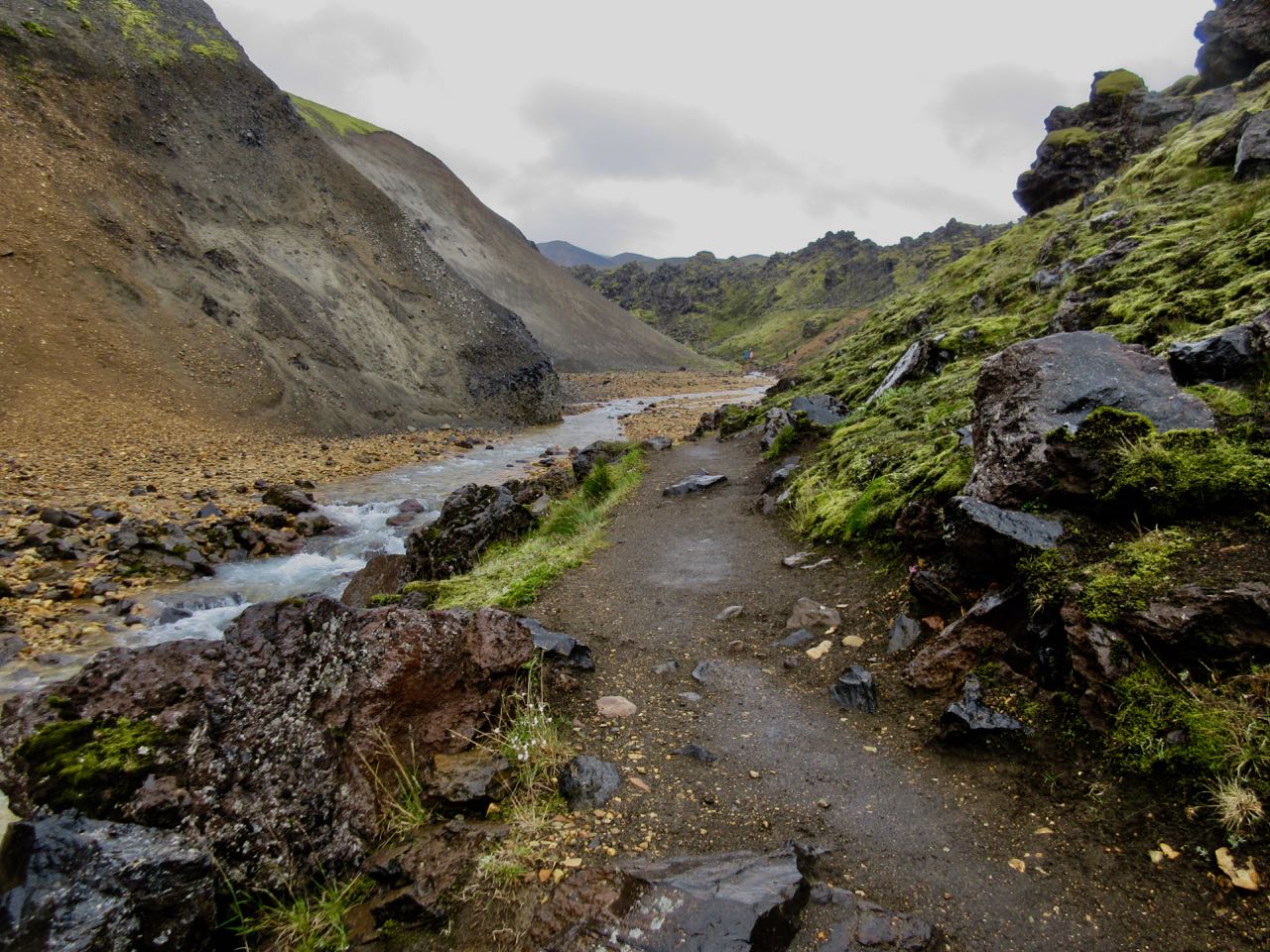
Waterfalls begin.
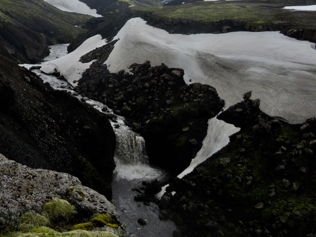
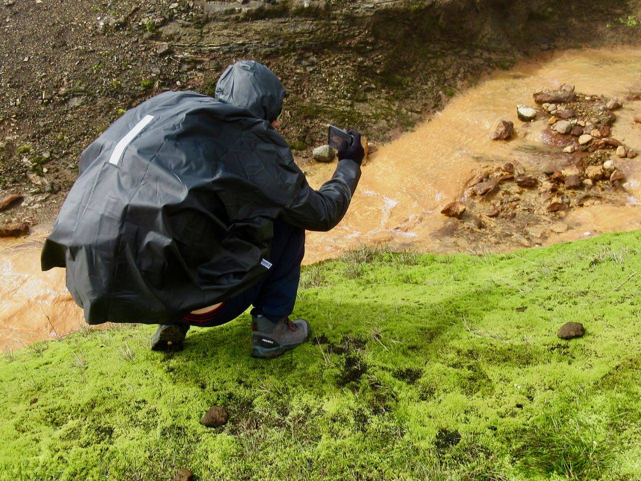
The trail follows the river down.
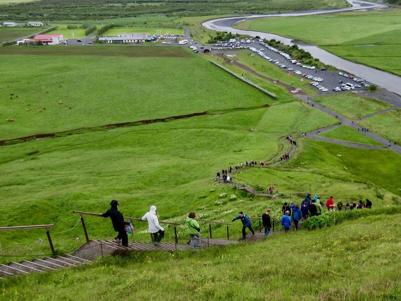
Every tourist to Iceland visits the falls at Skógar.
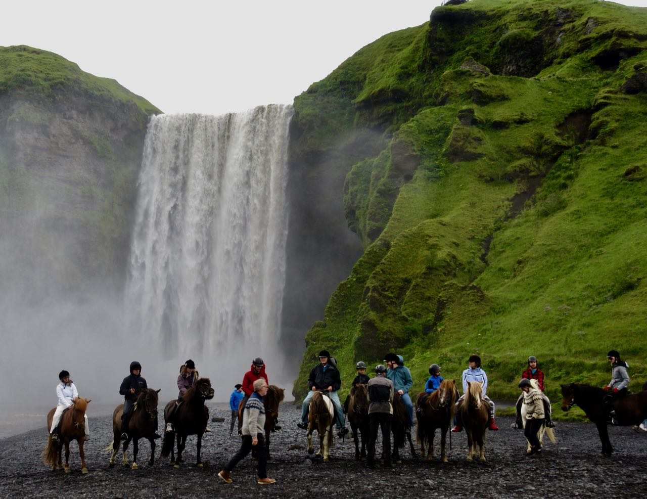
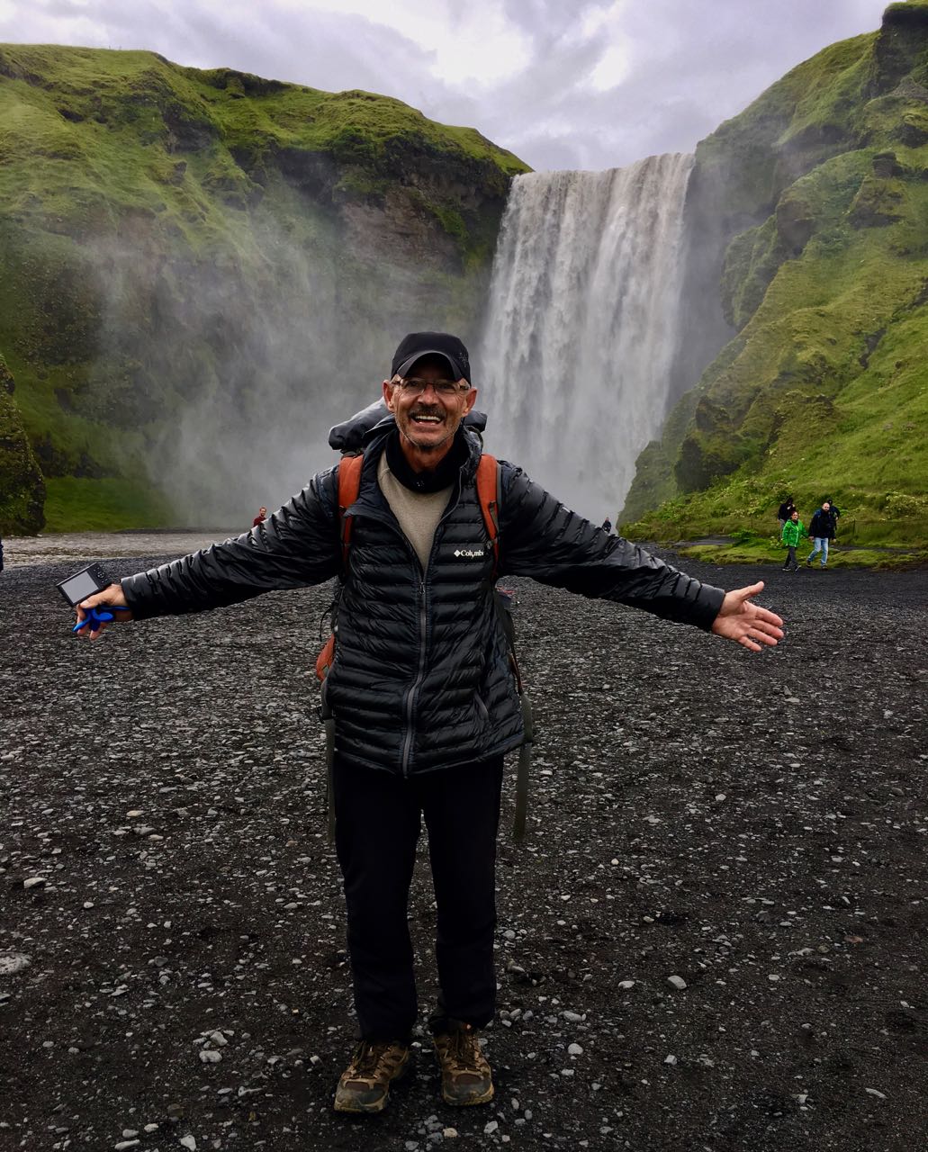
About half way through the day I’d decided to bus back to Reykjavík, if I could. Mark was shooting photos at the base of the falls. I bought a ticket on his bus.
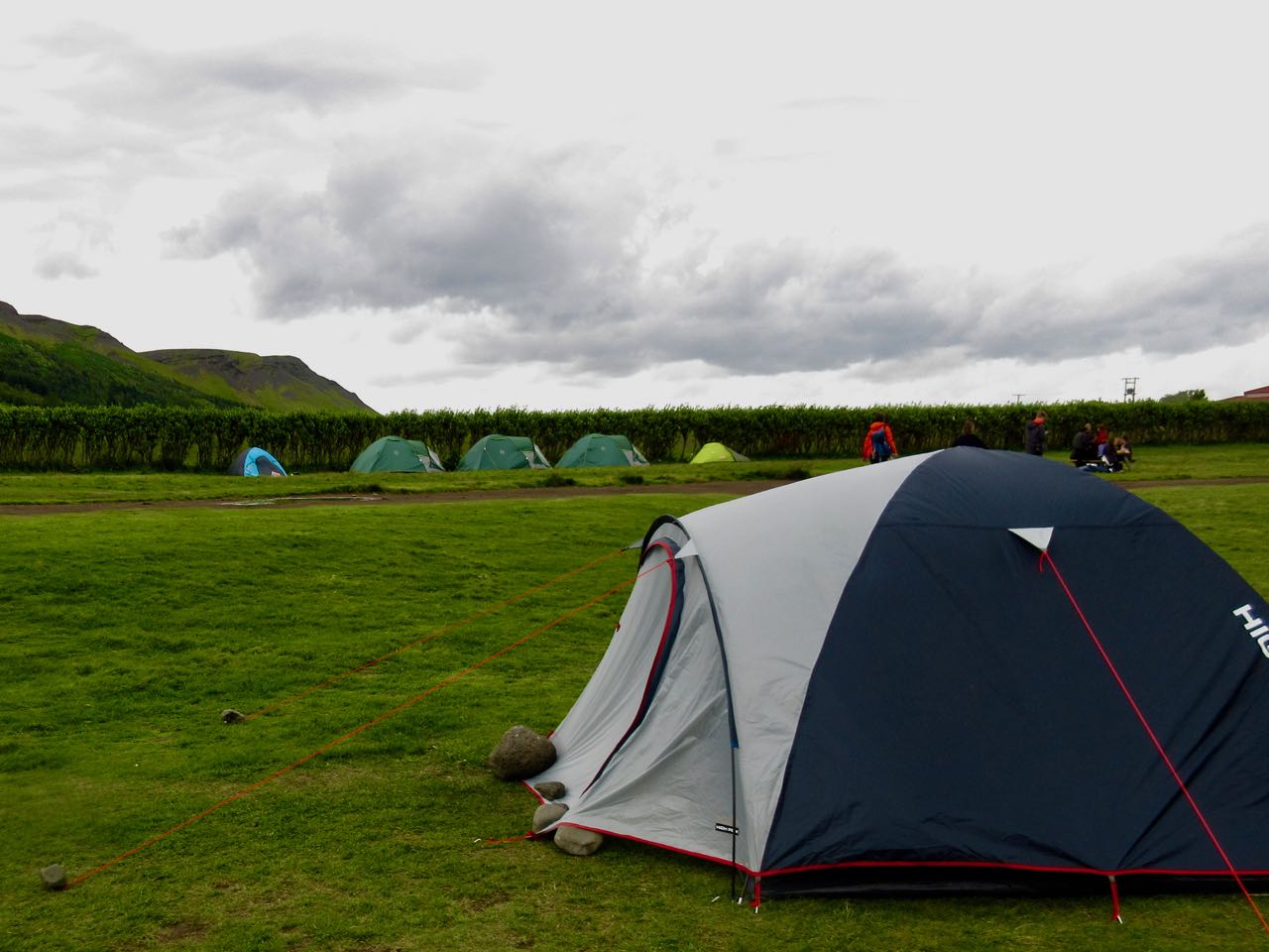
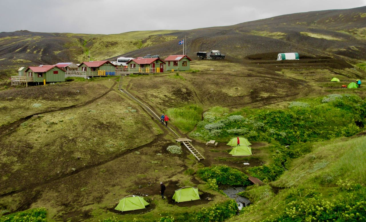
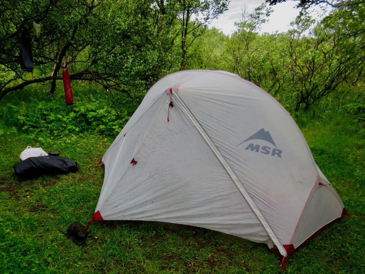
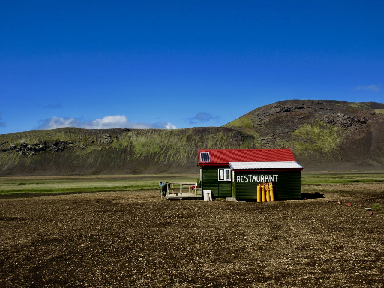
You could stay over. Skógar has a hostel and camping. As well as several restaurants.


