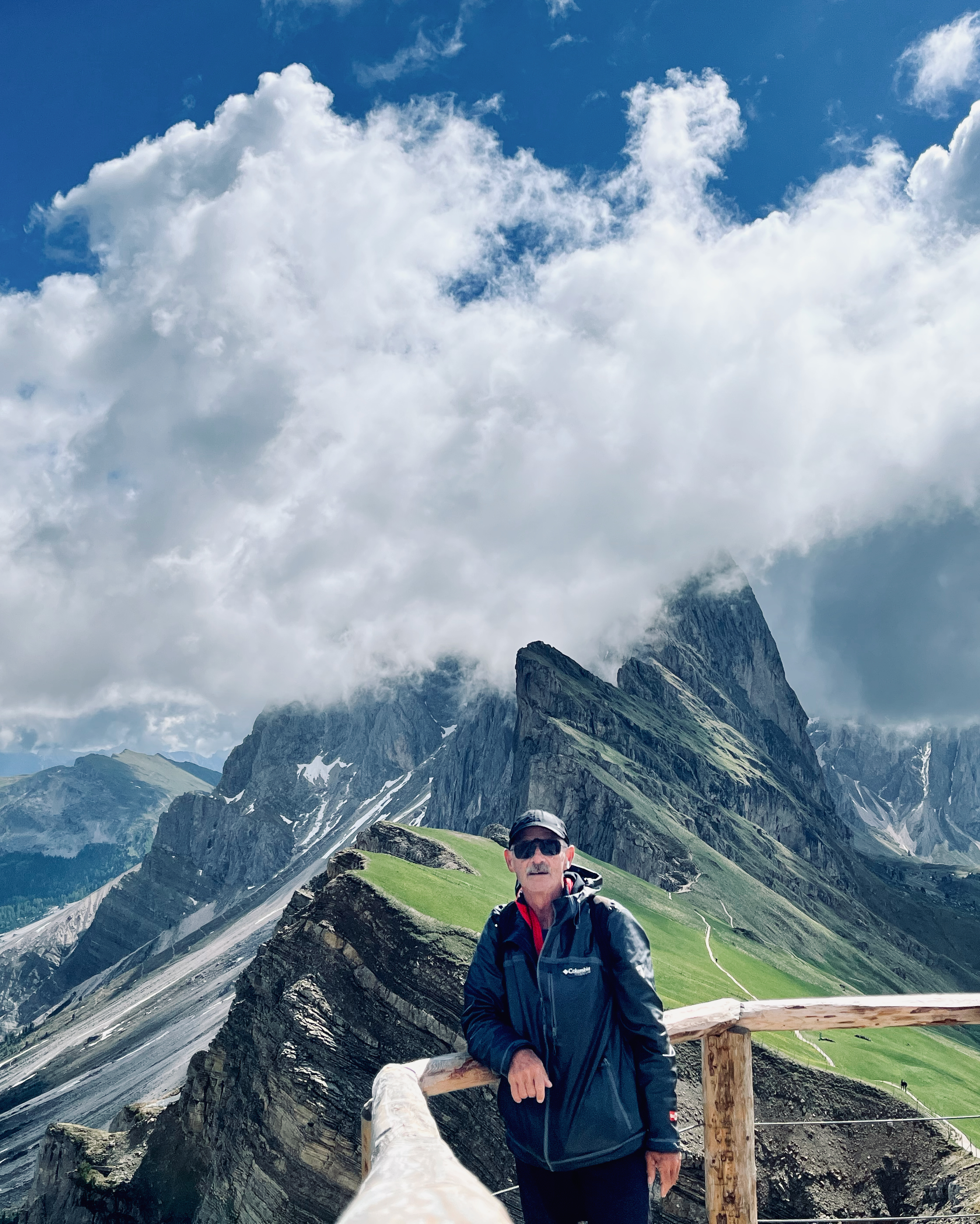
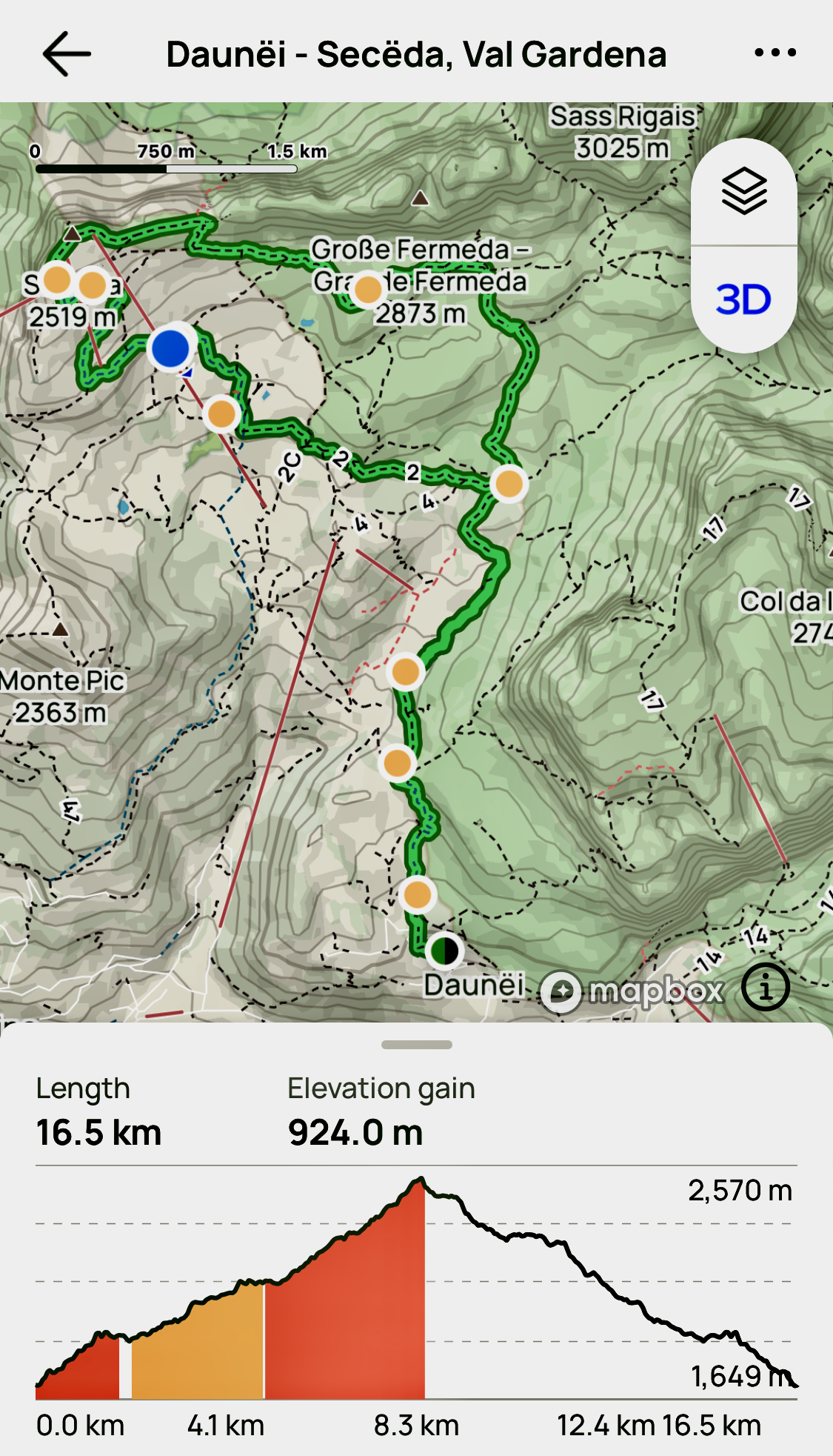
There are no bad hikes out of Val Gardena. But the highlight for me was getting to the famed ridge vista of the Odles/Geisler Group from Secede (2518m).
I hiked up early, the first person to reach the ridge on this morning. I wanted to beat the cable car day hikers. That expensive lift started up at 8:30am in 2023.
Here’s that famed vista on a clear day.
Amazing views in the Dolomites mountains. Views from Seceda over the Odle mountains are spectacular.
Another good option is to stay late in the day, after the cablecar stops at 5:30pm.
Of course it’s a long steep descent. 😀
There’s heated debate in the Dolomites whether or not you should use the cable cars. Personally, I’m OK with them — if you have the money.
But on this one I climbed down over a vertical kilometre back to the valley. Step by step.
I’d started with a plan. BUT — as usual in the Dolomites — I ended up changing it en route. Easy to do when there are so many clearly marked alternatives.
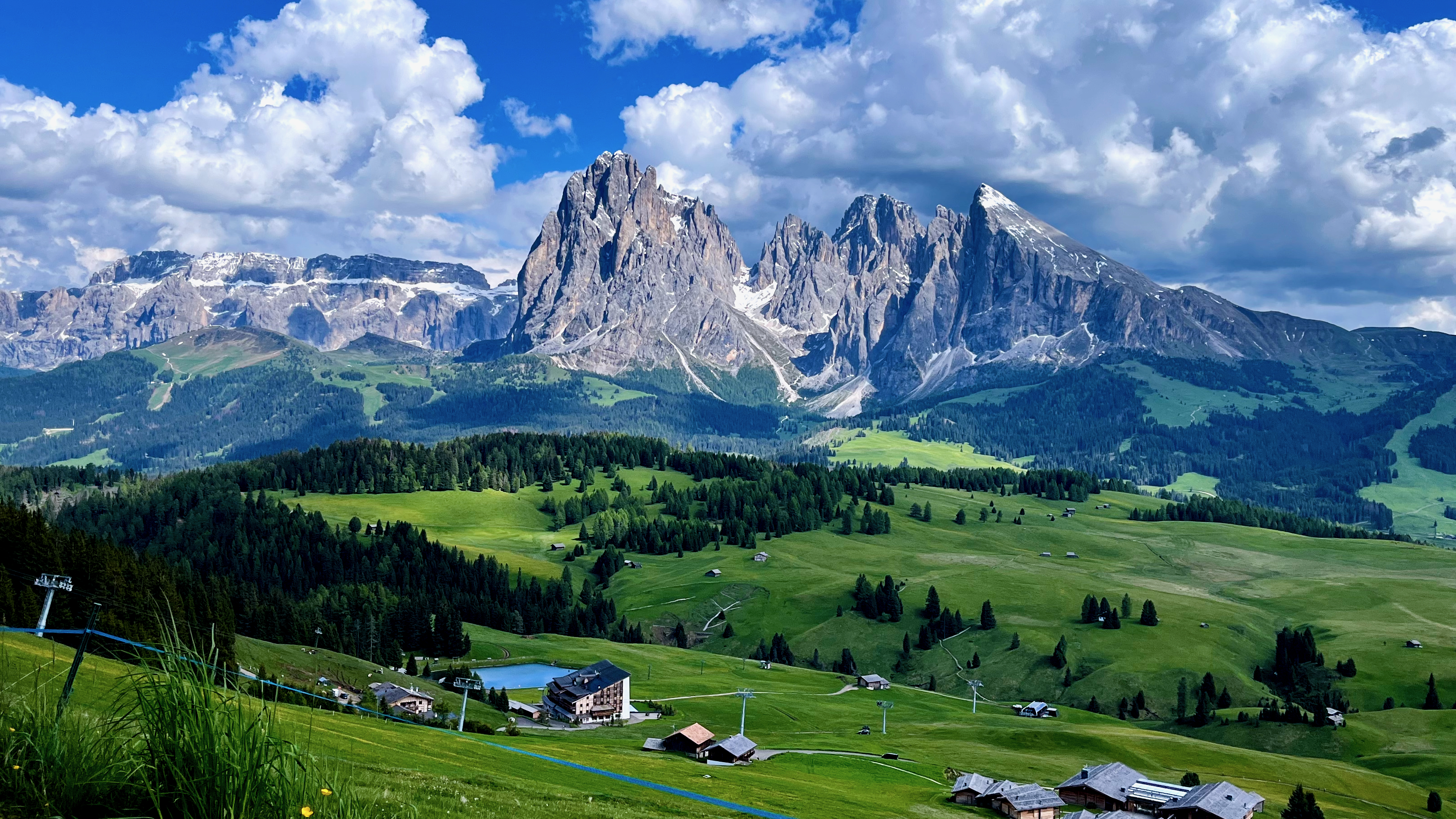
Another day I took the cablecar from Ortisei to the Alpe di Siusi up to what’s claimed to be the largest high altitude Alpine meadow in Europe. It is high, huge, and green.
You can’t lose hiking Val Gardena. It’s fantastic.
Be ready for afternoon thunder and lightning, however. Don’t get stuck up high in a storm.
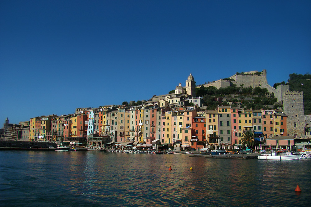
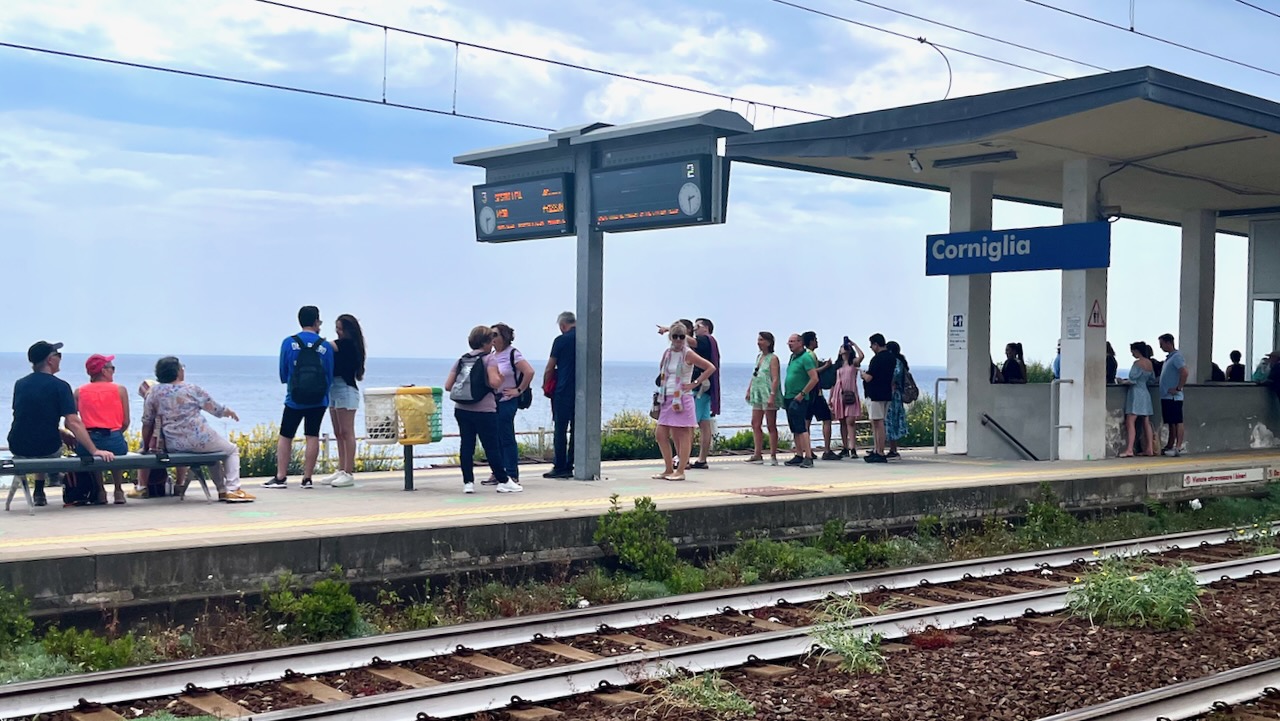
Took the train to La Spezia. Then the local bus to Porto Venere.
A pretty town.
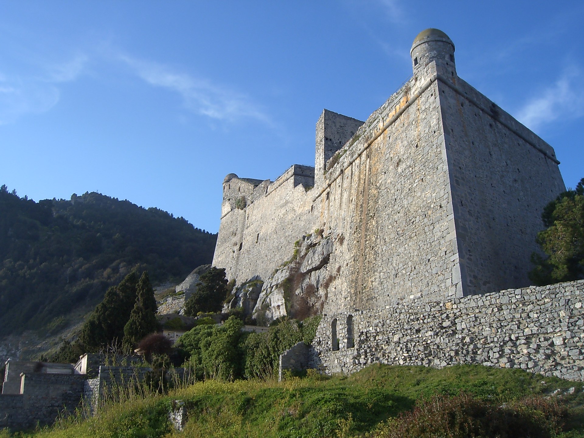
Starting the hike north, immediately you find the impressive Doria Castle.
EPSON DSC picture
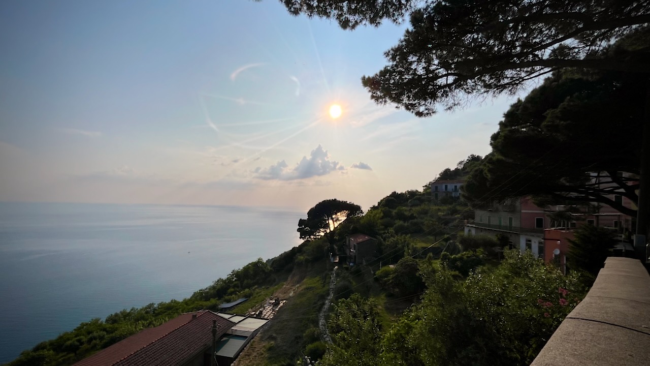
The trail takes you high above the ocean with terrific views in each direction. There are some very narrow pathways, but no real exposure.
I found a quiet spot, just before dark, to put up my tent.
Early next morning I arrived at the impressive Santuario di Montenero. The priest came out, interested in my drone. I showed him how it worked and later sent him this video.
This video includes a lot of hiking and spectacular drone footage — as usual — but also includes much more on the rest of his visit to the islands of Madeira, 400 kilometres (250 mi) to the north of the Canary Islands and 520 kilometres (320 mi) west of the Kingdom of Morocco.
Over the past few years I’ve spent a lot of time on the famed Bermuda Rail Trail. Hiking, running, cycling.
Sound wonderful? A long day hike on tropical islands. 🌴
However … there are a number of sections where you must walk busy roadways to regain the trail. And the Flatts bridge was not yet opened February 2023.
Without question, Rick’s new video is the most comprehensive online. In fact, if you watch all 10 minutes, you may feel there’s no need to actually do the adventure yourself. 😀
Our recommended itinerary starts with a ferry to Dockyard and continues past the official trail end in St. George’s — making it much longer. AND we recommended side trips to forts, light houses, and beaches along the way. BEST is to do the Rail Trail over 2 or more days.
The Bermuda Railway was a 21.7-mile (34.9 km) common carrier line that operated in Bermuda for a brief period (October 31, 1931 – May 1, 1948). …
More than 10 percent of the line was elevated on 33 separate structures of timber or steel construction spanning the ocean …
It was said to be one of the most expensive rail lines built …
In 1984, 18 miles (29 km) of the defunct rail line’s right-of-way were dedicated as the Bermuda Railway Trail for hiking …
18 miles (29 km) of a defunct rail line’s right-of-way were dedicated as theBermuda Railway Trail.
Sounds wonderful. A long day hike on tropical islands. 🌴
However … there are a number of sections where you must walk busy roadways to regain the trail. And the Flatts bridge was not yet opened in February 2023.
This VIDEO is a TEASER for an upcoming post on how to BEST HIKE the Railway Trail.