The Great Divide Trail • Section A

The Great Divide Trail closely follows the Great Divide between Alberta and British Columbia …

… southern terminus is in Waterton Lakes National Park at the Canada–US border (where it connects with the Continental Divide Trail) and its northern terminus is at Kakwa Lake in Kakwa Provincial Park, north of Jasper National Park.

The trail is 1,130 km (700 mi) long …

… only portions of it are officially recognized by Parks Canada and therefore is often not signed and occasionally not even an actual trail – merely a wilderness route.

At present, the Great Divide Trail is about 80% singletrack, 10% wilderness route and 10% old roads and ATV trails.

More maps.

Ratatrail says the section starting at the American border is toughest — and the most rewarding.

Watch his unique video on YouTube.

official website – greatdividetrail.com

Converting VIDEO from Landscape to Vertical

Our eyes are side-by-side. Our world view is landscape.

YET vertical (portrait) video is getting increasingly popular on mobile phones.

The reason?

A phone fits more comfortably in the hand in portrait position.

Videos on the BestHike YouTube channel are mostly landscape. But it’s fairly easy to convert a landscape to portrait in your software editing app.

For example, the vertical video below was edited from this landscape original.

Click PLAY or watch it on YouTube.

Here’s the Instagram version.

Here’s the TWITTER version.

I also uploaded it to the BestHike Facebook page.

Vancouver Island @ LOW Tide

BestHike editor Rick McCharles

I was born in the Rocky Mountain foothills, 1km above sea level.

Lived 10 years on the high prairies of Saskatchewan.

So when I get to my parents place on VANCOUVER ISLAND, I walk the coast at dawn. With coffee. The scenery is different every day.

BEST is Rathtrevor Beach at dawn.

BEST is when dawn coincides with low tide.

You can wander the ocean bottom nearly a kilometre out into the Straight of Georgia.

Click PLAY or get a glimpse on YouTube.

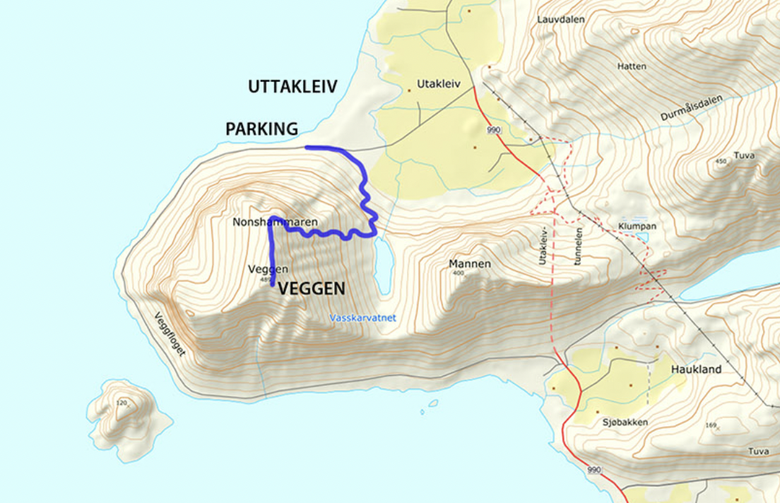
Climbing Veggan from Uttakleiv Beach, Lofoten, Norway

Trip report by BestHike editor Rick McCharles

Click PLAY or watch it on YouTube.

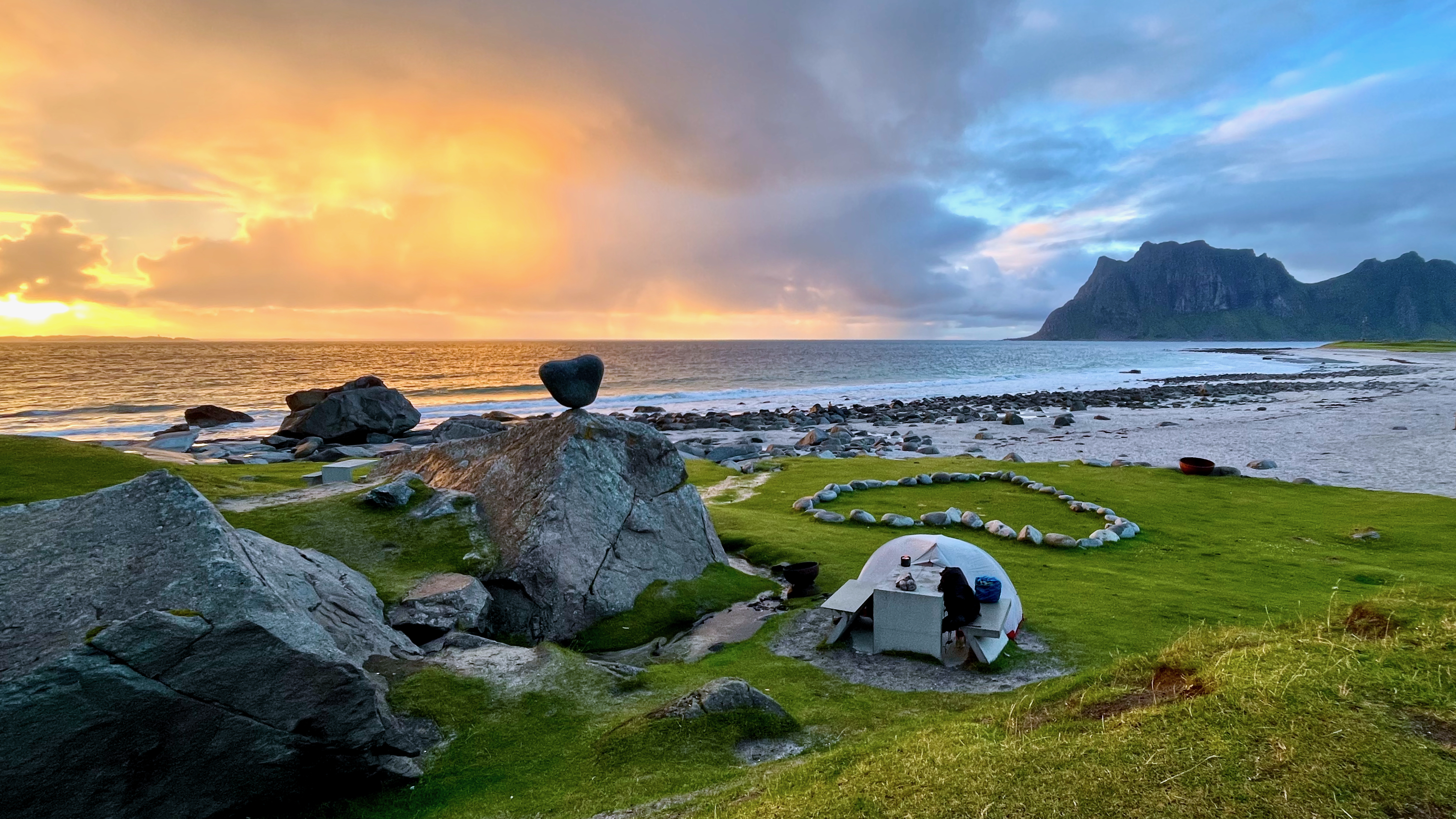
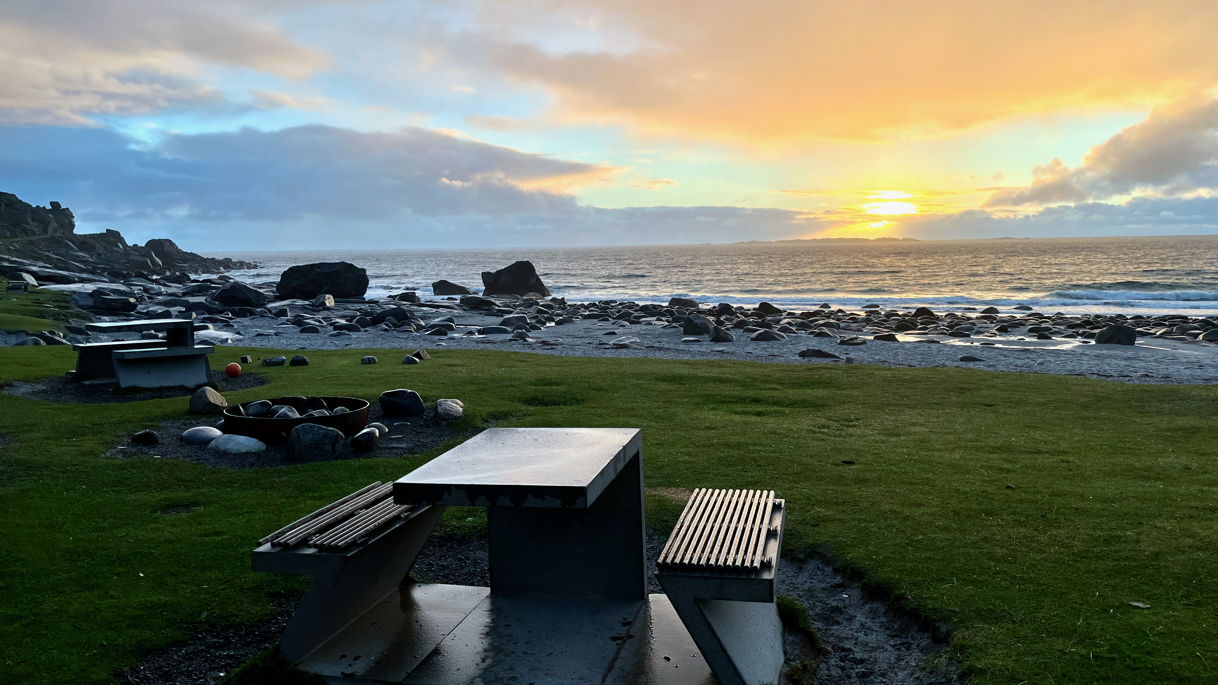
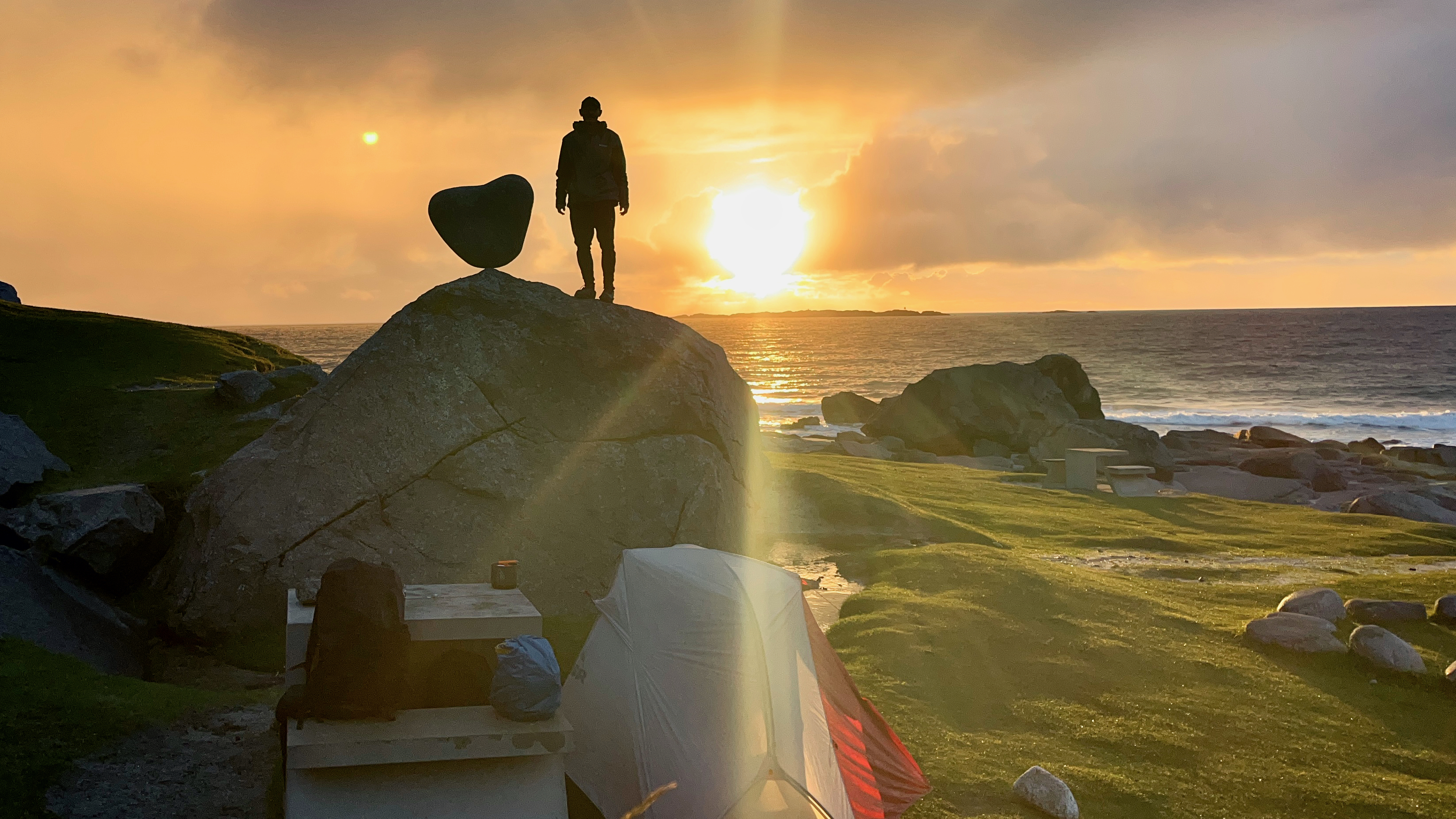
My best campsite in Norway was at Uttakleiv beach. $20. The only time I paid for camping in a nation where you can camp almost everywhere free.

Early next morning I had to decide whether to climb Veggen or the more popular Mannen.

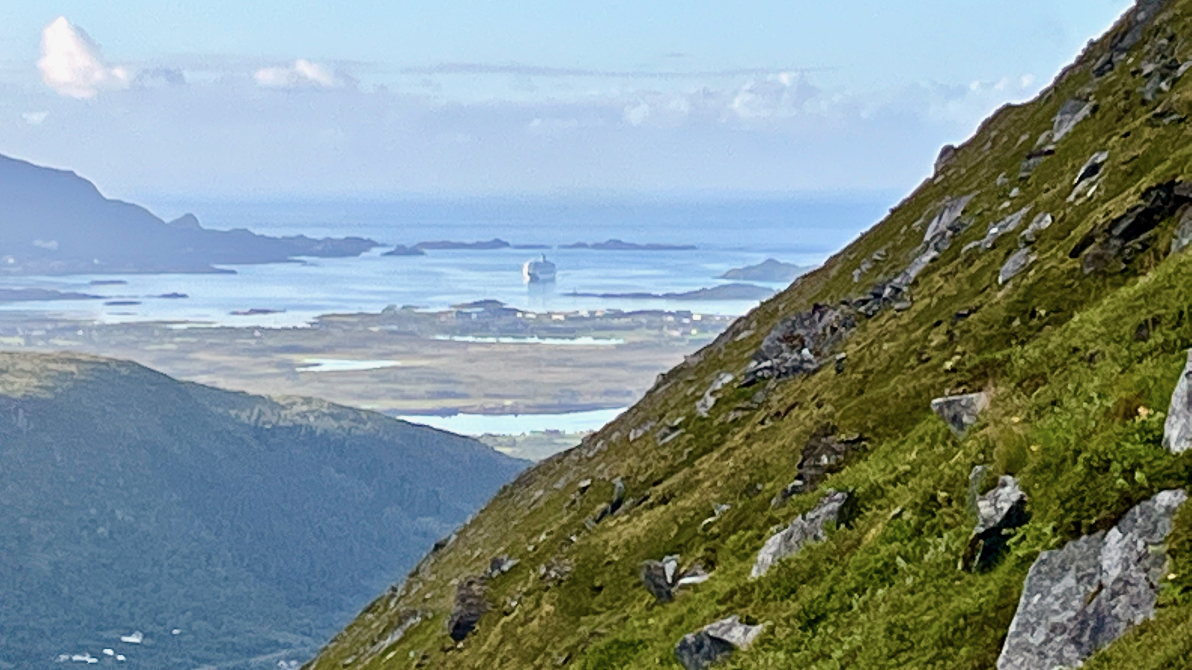
For no particular reason, I decided on Veggan (“the wall”) which is a bit higher at 489m. Starting early morning, I had the summit to myself.

Like many day hikes in Norway, it’s an unrelenting climb with one good photo stop at lake Vasskarvatnet.

On departing Uttakleiv, I enjoyed the walk along the coast to Haukland beach rather than try to walk through the automobile tunnel.

BONUS ➙ more footage of the beach. Click PLAY or watch it on YouTube.

HERO Video – Reinebringen, Lofoten, Norway

The main reason to buy a drone is so you can fly to Norway and get the HERO video atop Reinebringen, likely the most popular photo op above the Arctic Circle. 😀

Click PLAY or watch it on YouTube.

Click over to our Reinebringen information page for details on how YOU can climb this famous peak.

It’s one of our top 10 day hikes in the world.

My Arctic Norway Cycling & Hiking Highlights

BestHike editor Rick McCharles

Though I had to cancel my planned 3000km bikepacking adventure after SAS (Scandinavian Airlines) left my bike box at Heathrow for over a month 🤨, I still enjoyed my 4-5 weeks above the Arctic Circle.

Check my short HIGHLIGHTS VIDEO.

Click PLAY or watch it on YouTube.

Hiking Arctic Norway – Barheia, Lyngen Alps

Trip Report by BestHike editor Rick McCharles

Click PLAY or watch a #shorts on YouTube.

Barheia is not one of the famous hikes. In fact, I only learned of it from a hiking guidebook I found at a nearby hostel.

MOST day hikes here required a lot of vertical before getting to the great vistas.

Only 350m? Only 1 hour?

Let’s GO.

It’s about 6.8km return from the trailhead — once you find it well above the highway campground.

AND it’s very conveniently located in Svensby, close to the ferry dock. You can easily walk from the ferry.

Most tourists drive right past on their way to the most popular day hike in the area, Blåisvatnet (the Blue Lake). Personally I enjoyed Barheia much better. AND had the summit to myself. The Blue Lake trail is crowded with hikers high season.

Confusingly, there’s a trailhead sign close to the campground on the highway. But the start is actually higher up the mountain, well above the campers.

Once there, you can’t get lost as it’s blazed red. Useful when the snow falls.

related – Wild Planet trip report