St. George’s was the first part of Bermuda to be extensively colonized, and the town of St. George’s contains many of the territory’s oldest buildings.
It’s claimed to be the oldest continuously-inhabited English town in the New World.
While visiting I walked all parts of the island many times. Here are some highlights.
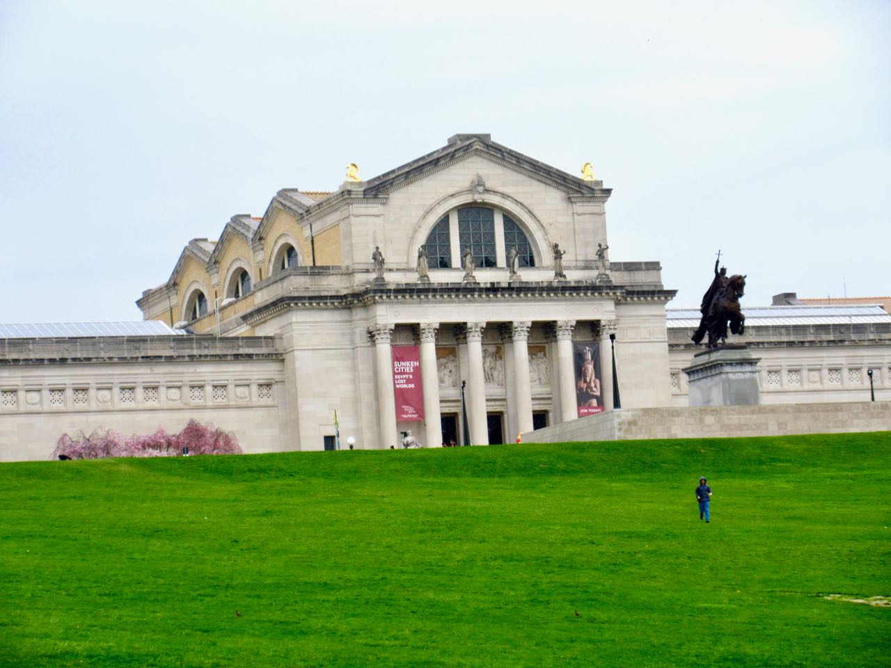
I spent two half days walking the Park and visiting attractions. Easy access via MetroLink.
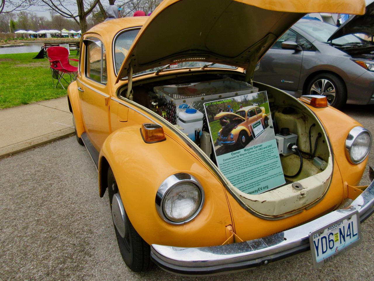
Earth Day 2018Jewel Box
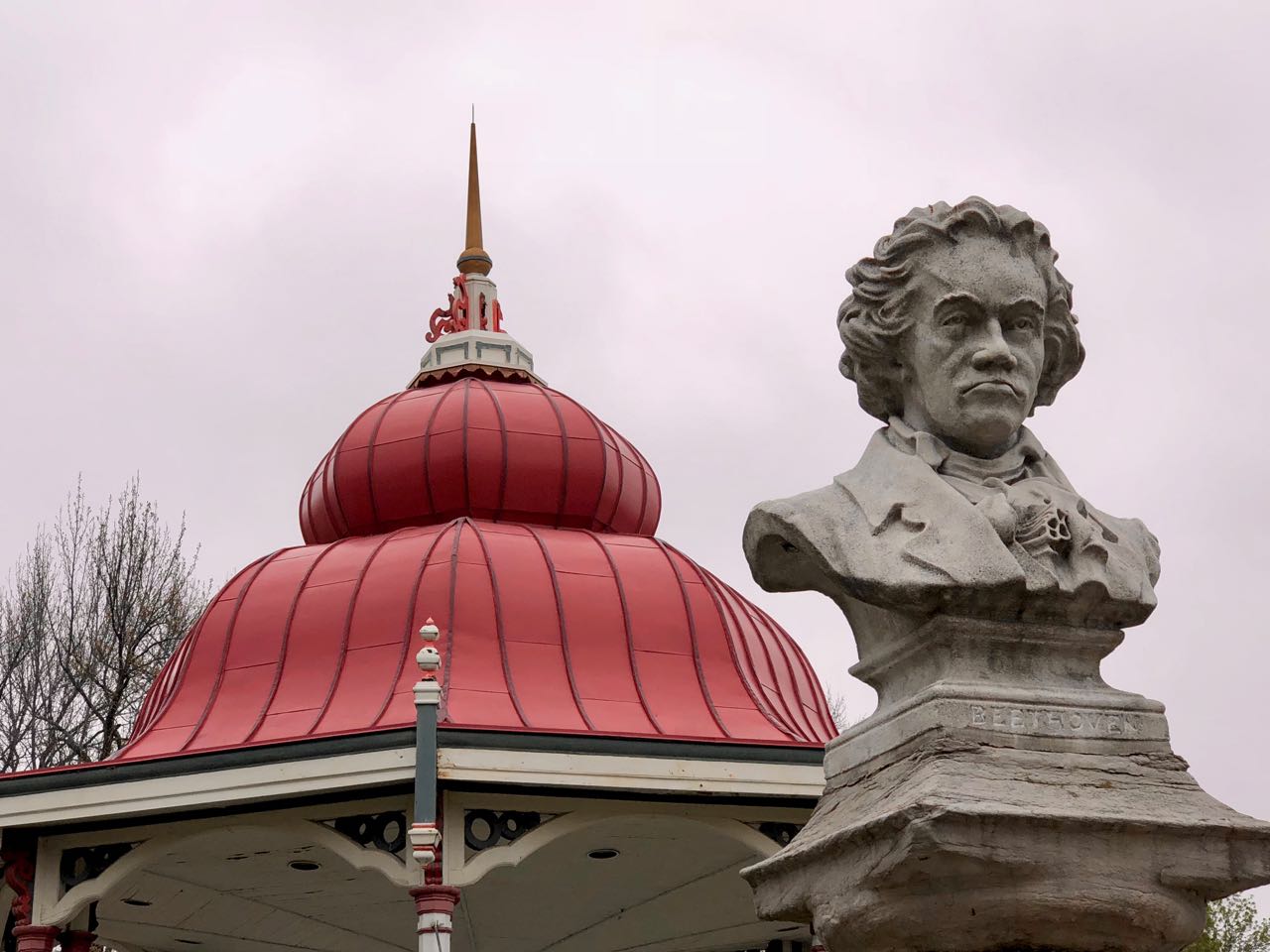
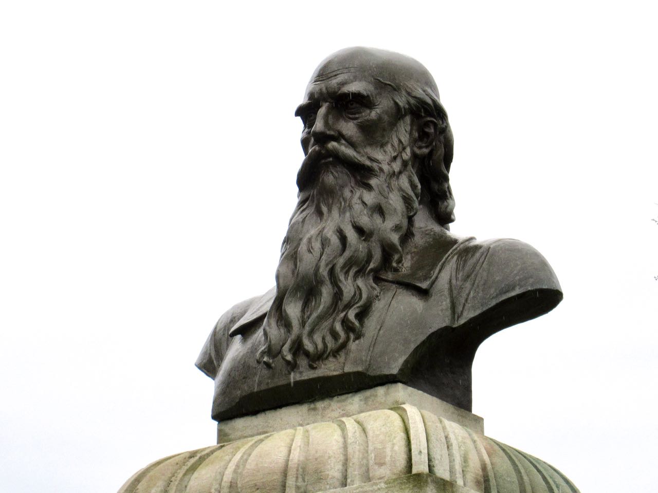
Friedrich Ludwig JahnSt. Louis Art Museum
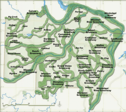
It’s part of the River Ring, a 600+ mile web of parklands and trails being developed by the Great Rivers Greenway. Ideal for cycling, by the looks of it.
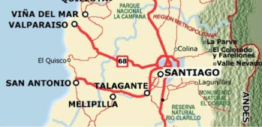
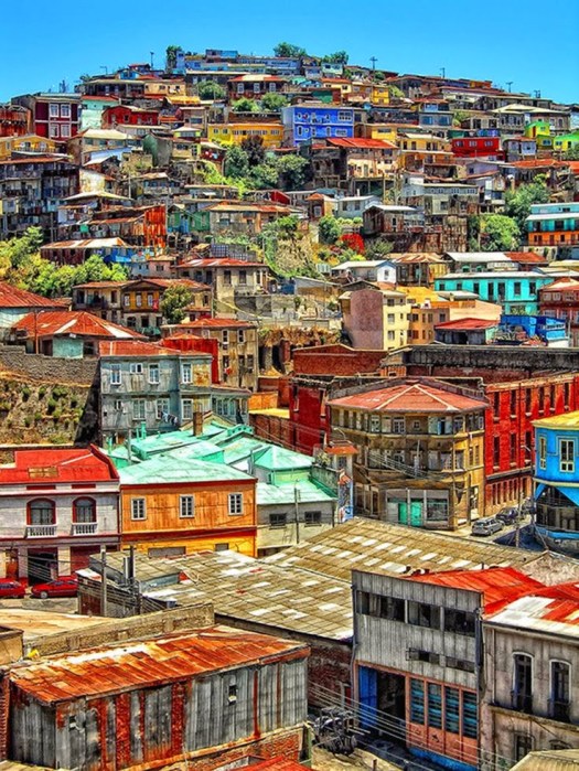
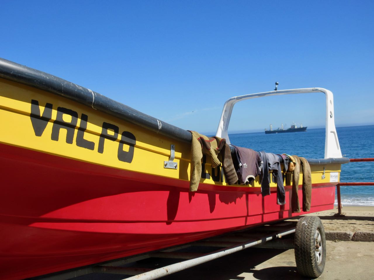
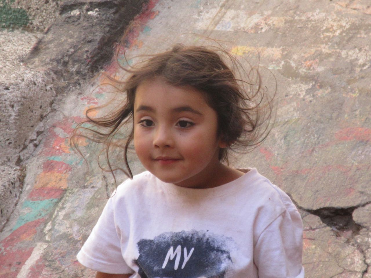
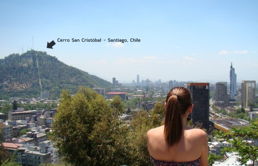
People from the BIG CITY of Santiago love to escape to Valparaíso on the coast.
Valpo is popular with tourists who enjoy the city’s labyrinth of cobbled alleys and colorful buildings.
It has a a mild Mediterranean climate.
In 1996, the World Monuments Fund declared Valparaíso’s unusual system of funicular lifts (steeply inclined carriages) one of the world’s 100 most endangered historical treasures.
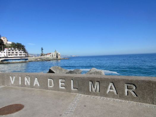
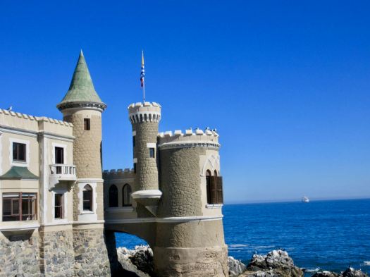
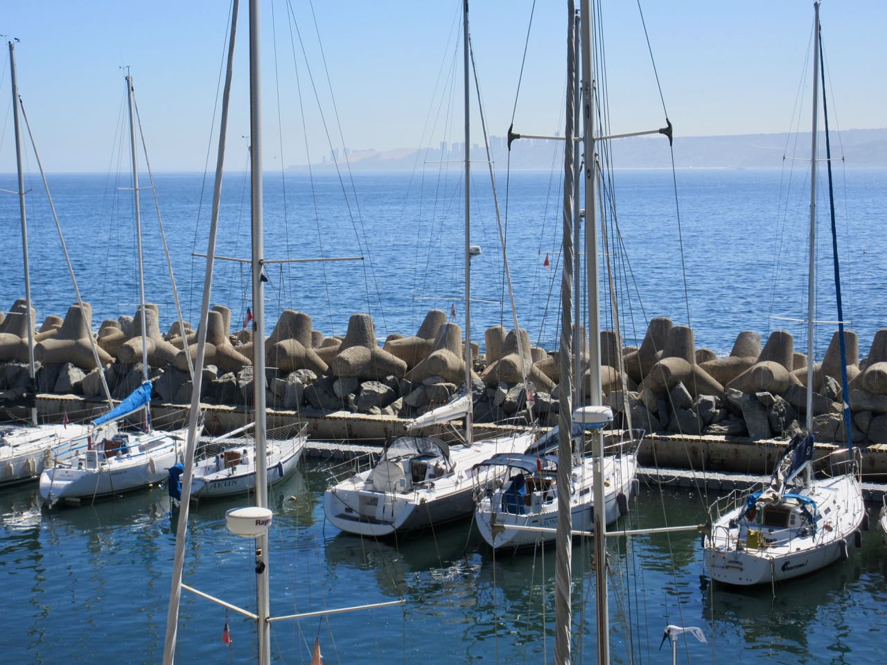
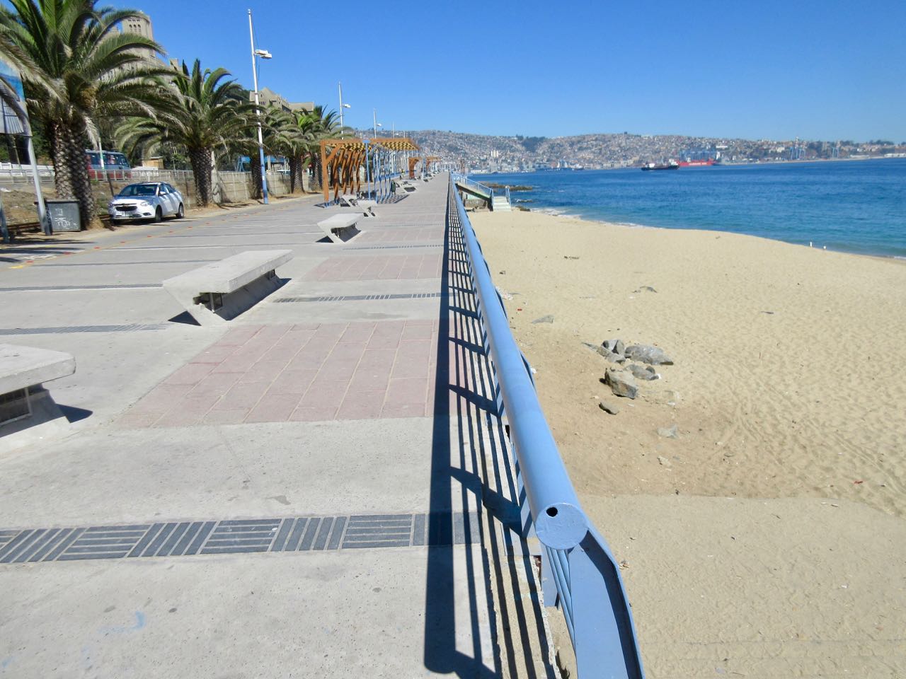
I decided to walk to Valpo along the coast from Viña del Mar, an upscale suburb to the north famed for great beaches.
Having walked the beaches the previous evening, I started near the castle.
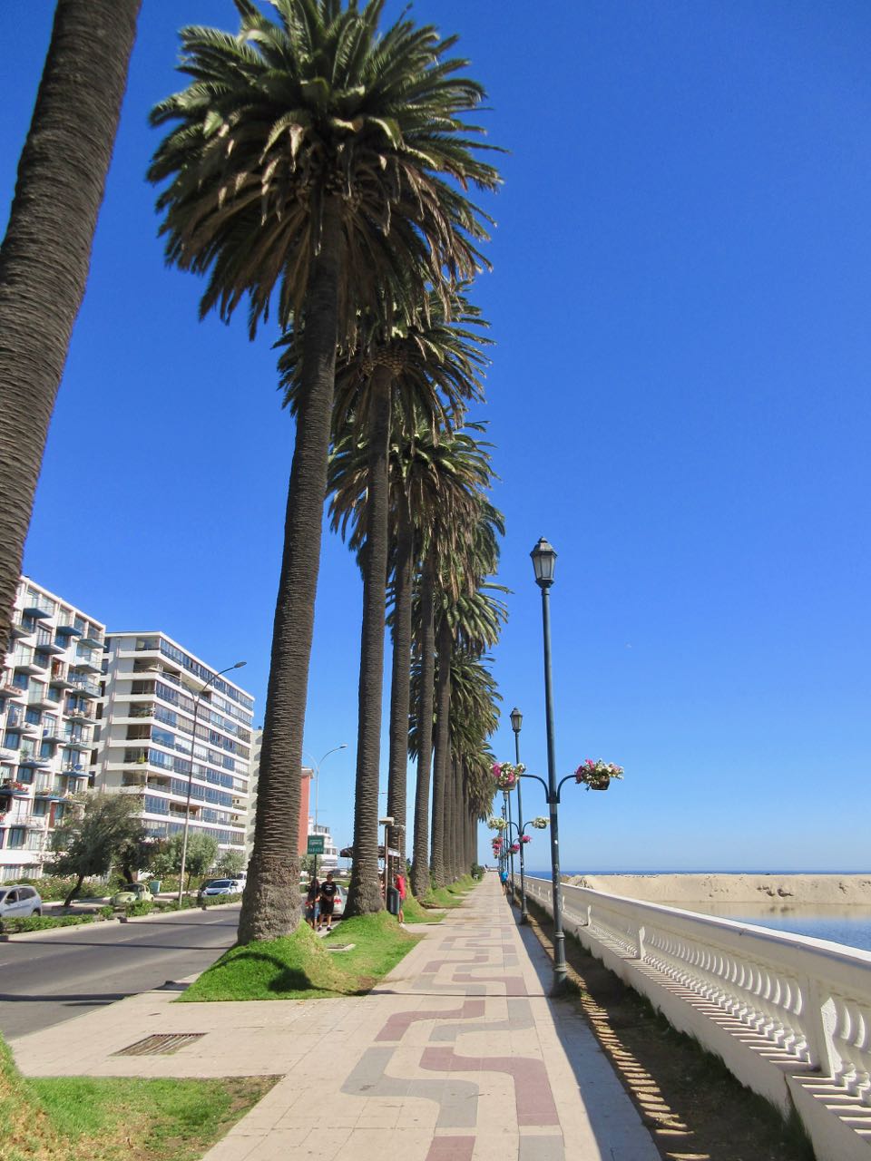
There were plenty of runners and cyclists, but not many walkers.
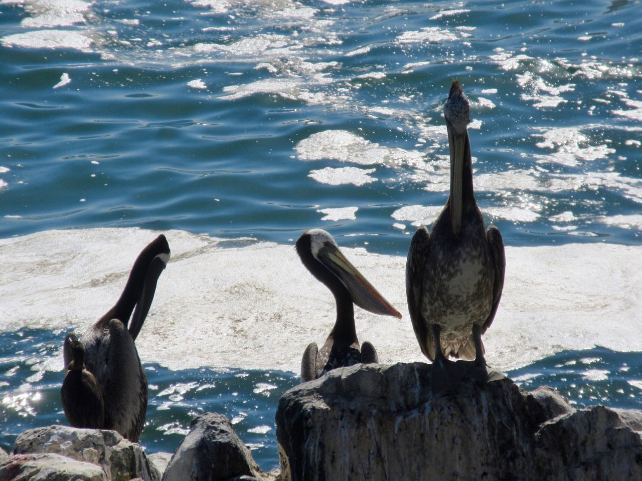
Birds are always a highlight in Chile. Pelicans have always been some of my favourites.
Originally a port and fishing centre, much of the coast has not been improved for pedestrians.
Some has.
Fishermen use mobile phones now.
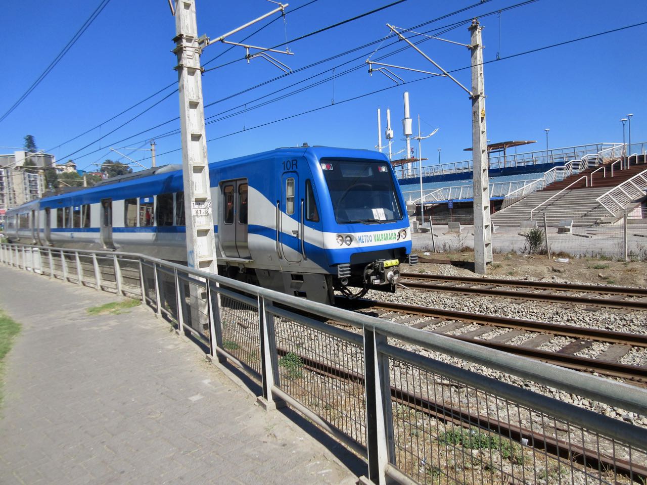
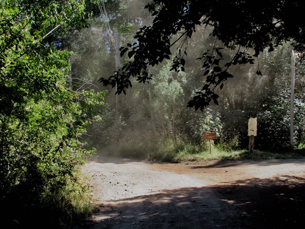
There’s a lot of traffic on the coastal road. At one point you are pushed inland by train tracks.
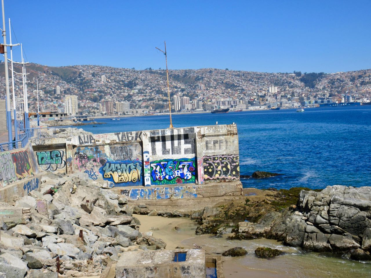
Parts of this 3 hour walk I did enjoy.
Other sections I found annoying. Graffiti EVERYWHERE was starting to bother me.
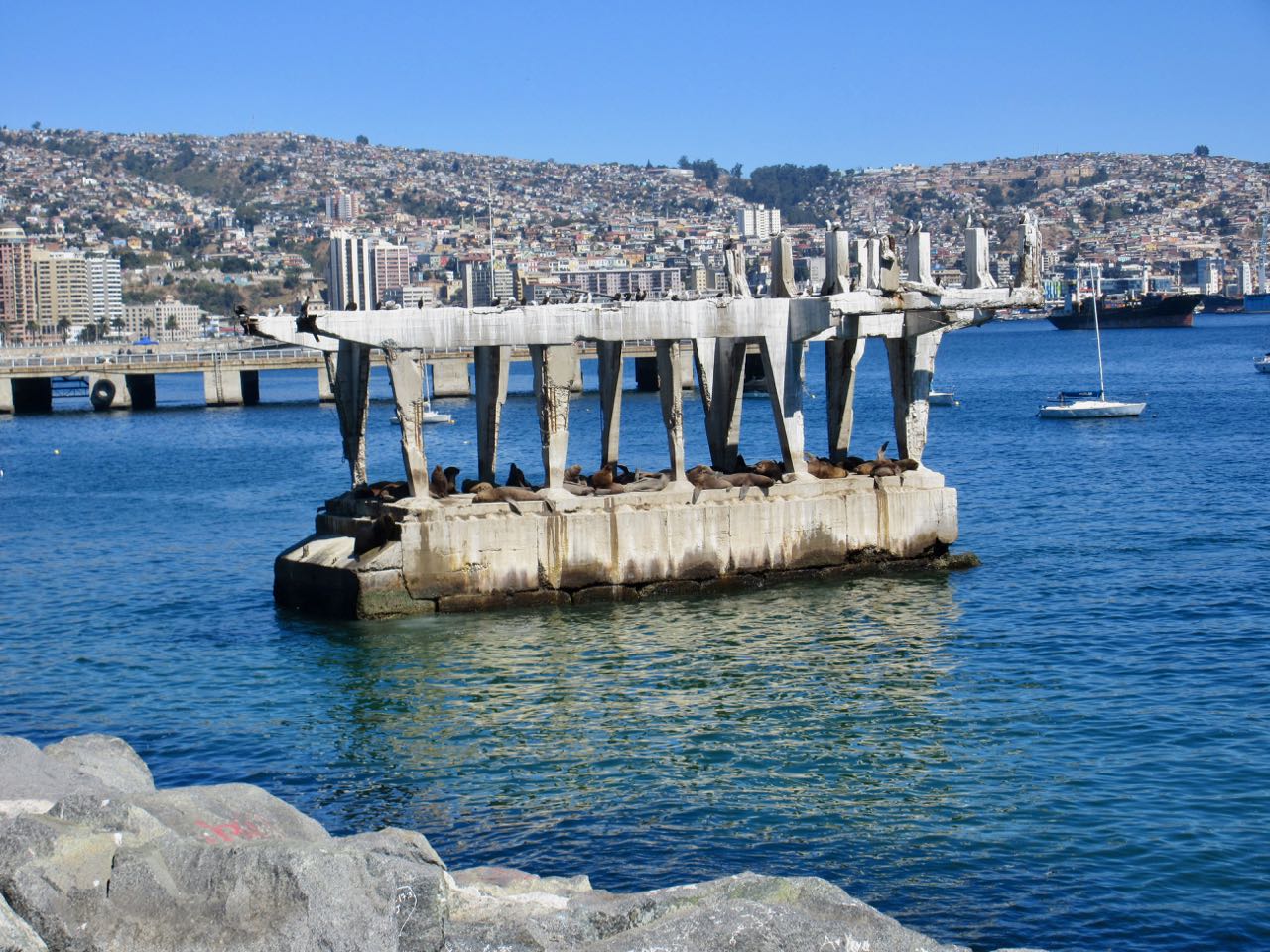
A real highlight near Valpo is watching sea lions close up on this abandoned concrete structure. It’s amazing they can get up there. It’s entertaining to watch them negotiate who gets the prime real estate. And who gets pushed off back into the sea.
The best part was arriving in Valparaíso and joining a free (for tips) walking tour. The daughter of one of the gentlemen in our group had tons of fun sliding down a cement ramp.
As many do on this popular hike, I walked from El Bolsón, centro. Three hours of dusty, but tranquil road walking to get to the parking lot.
(Actually, I tried a trail alternative recommended on my Maps.me app. Bad idea, as it turned out. Coming down I stuck to the road.)
Taxi would cost at least $25. Drivers don’t like going up here. You MIGHT be able to join up with others to split the cost at a collectivo office near the Via Bariloche bus station.
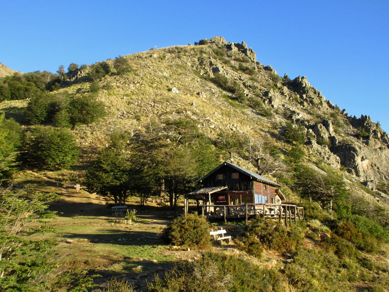
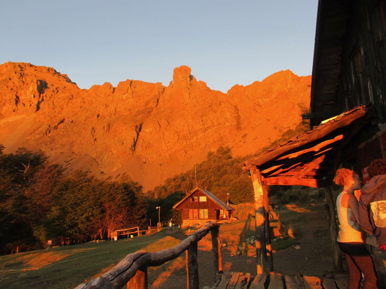
It took me about 4 hours to reach the Piltriquitrón hut and campground.
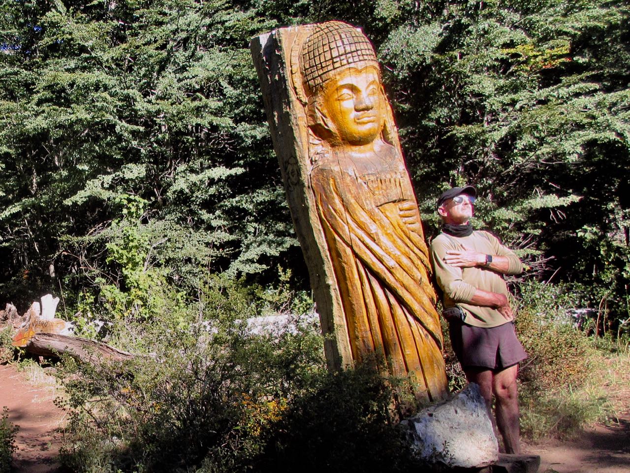
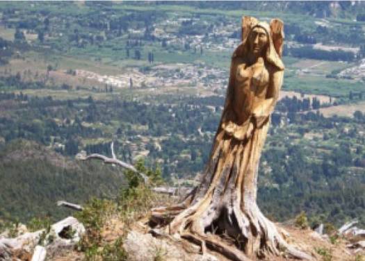
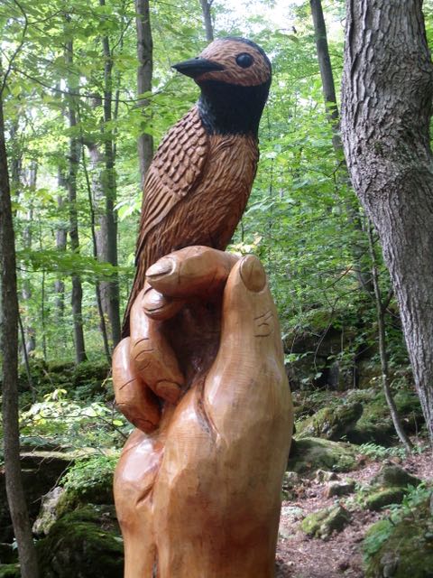
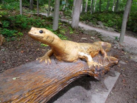
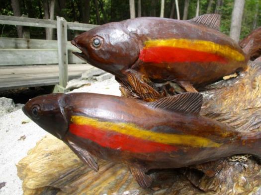
After a brief siesta I headed over to the nearby El Bosque Tallado (carved forest). $5 entrance.
There are over 50 crude wooden sculptures with new ones being added. A fire in 1978 inspired lead artist Marcelo López to initiate this tourist attraction.
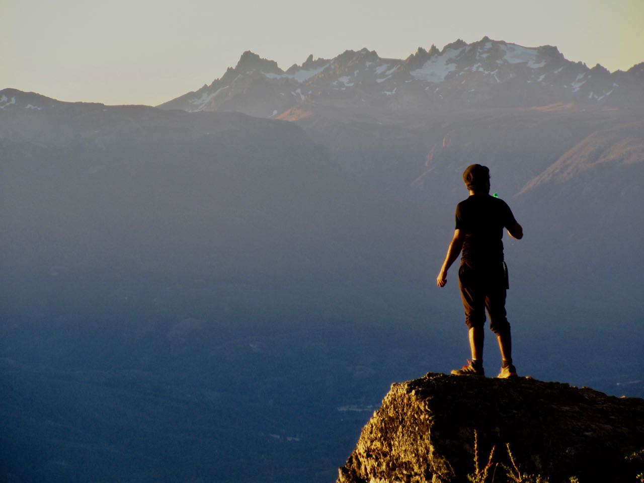
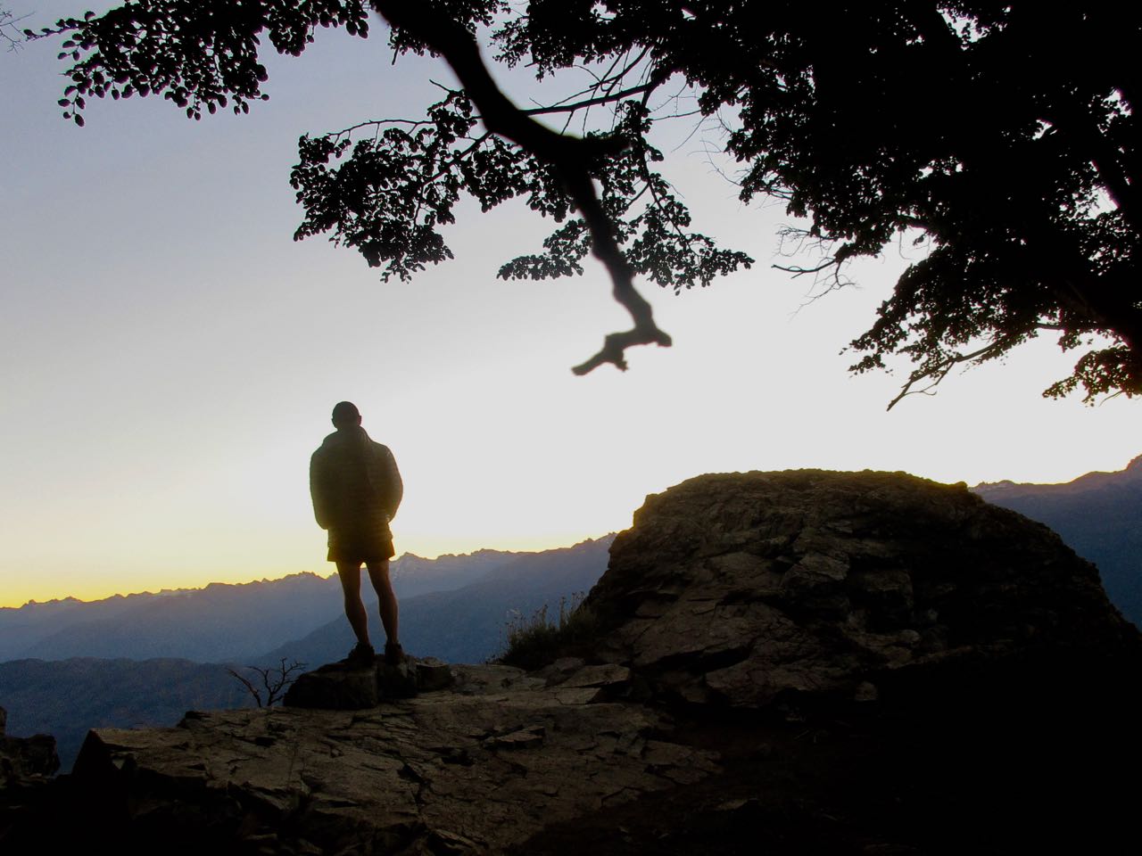
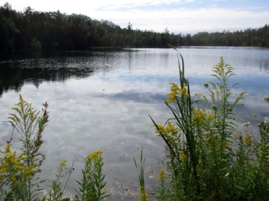
The refuge has a superb location. People can’t get enough of the vistas.
I enjoyed dinner at sunset, myself, overlooking El Bolsón.
Alpenglow was lovely this evening. I didn’t edit this photo.
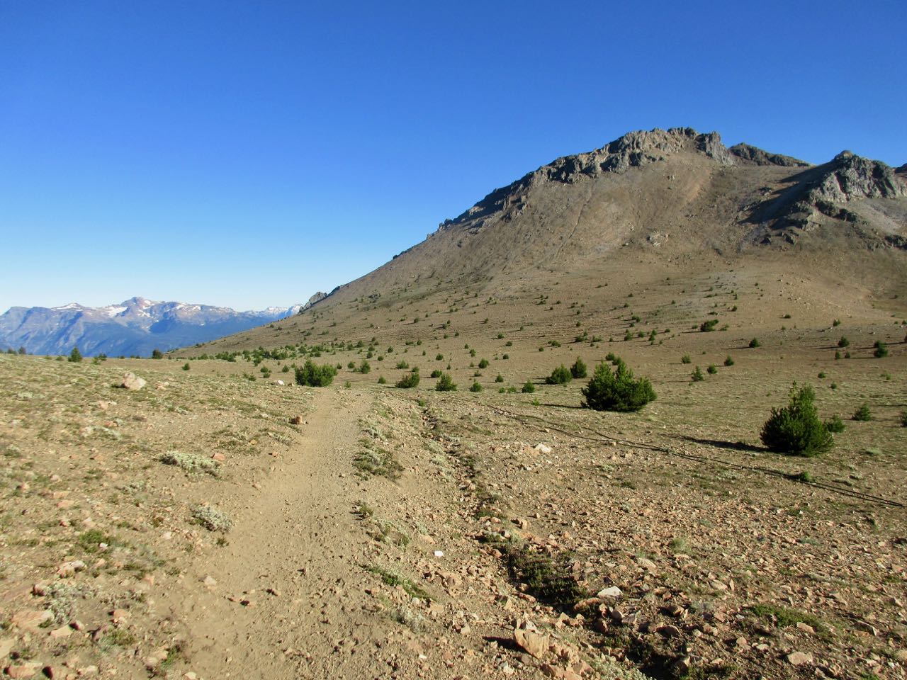
I was on the summit trail by 9am next morning.
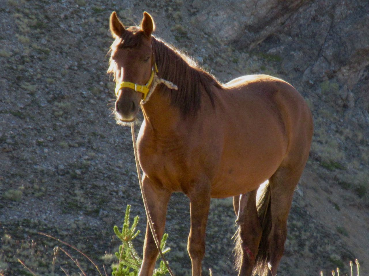
Pack horses were grazing free.
Easy going until the final scramble before the top.
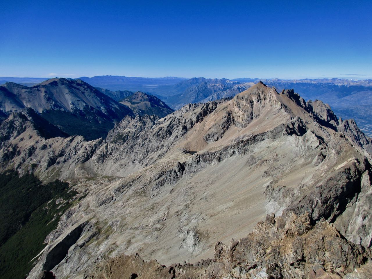
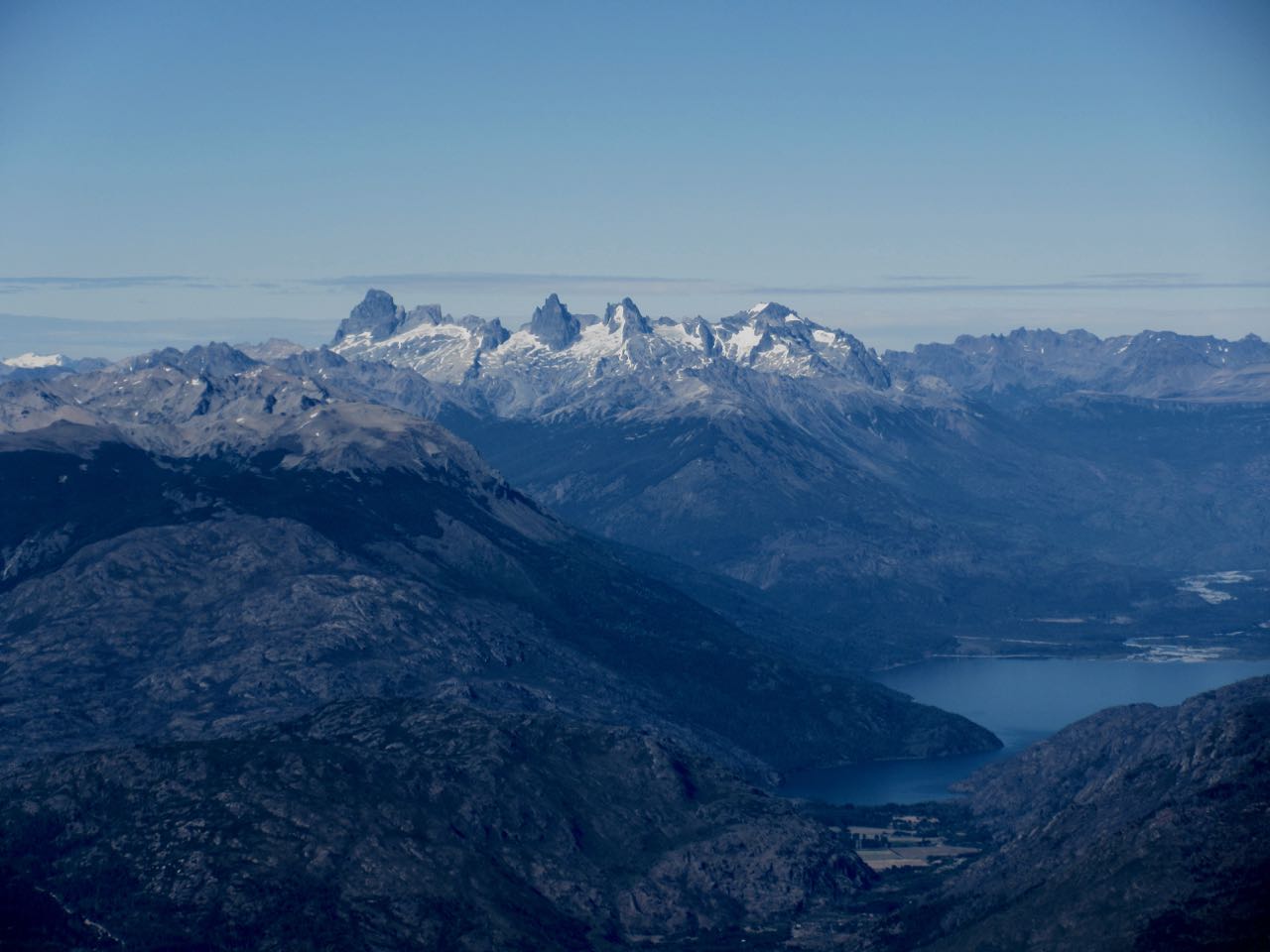
There’s a 360 degree vista from the peak.
A German living in El Bolson just spend 5 days up in those craggy, intensely glaciated peaks. Because there are no alpine huts, he had that wilderness to himself.
I could clearly see Tronador volcano about 100km distant.
Rick atop Piltriquitrón
I had done the 1800m ascent over 2 days.
I was back down to the hut by Noon. Back to town, very tired, by 3pm. That’s 1800m of descent.
Supposedly it’s easy to hitchhike back down from Piltriquitrón. I had no luck.
This is the last of my hikes on The Bruce for 2017. I’m planning to return in 2018 to hike the Bruce Trail Peninsula section, a maximum of 8-9 days averaging 16-20 km per day.
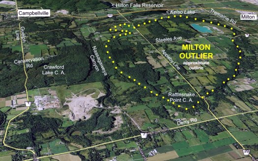
A trail runner friend had recommended the Halton Region area close to Toronto.
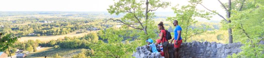
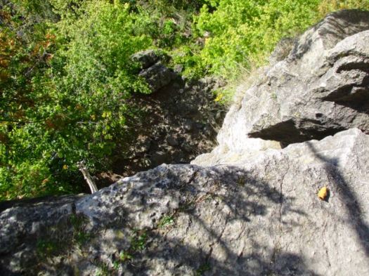
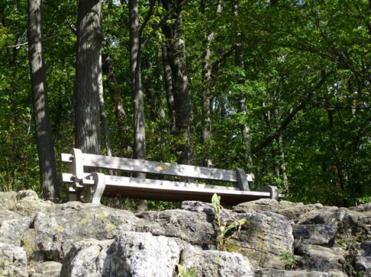
I parked at Rattlesnake Point, one of best and most popular destinations on the Bruce.
People come on a nice day to enjoy views from atop the Niagara Escarpment.
It’s popular with rock climbers though I saw none the day I was there.
The trails are well signed. Some would argue there are too many signs.
Still … this sign maker managed to bungle Buffalo Crag.
Rattlesnake is on the Milton Outlier, a section of the Niagara Escarpment that has eroded away from the rest.
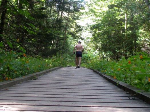
I took the Nassagaweya Canyon trail down and then back up to the Escarpment on the other side. I did this hike as a trail run. Boardwalk in the canyon much appreciated.
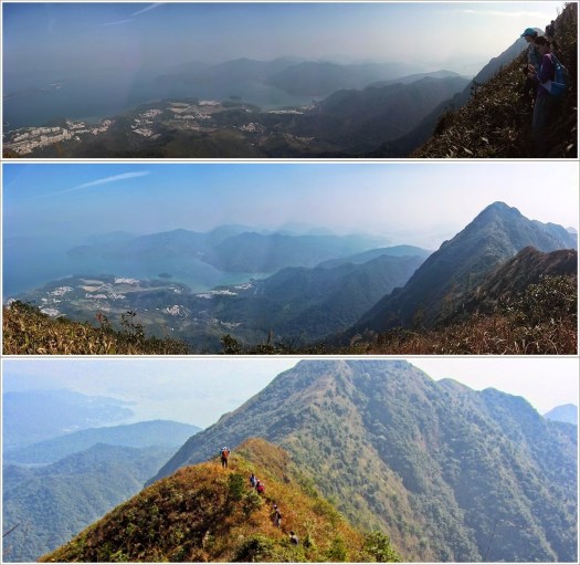
When I moved to Hong Kong in 2008, I had this idea of a concrete jungle. This was indeed the case. However, foreigners usually don’t realize that Hong Kong territory is less than 10% urbanized, and over 40% of the land is designated as country parks. I soon discovered that there was a world of outdoor adventures for me to discover. However, the information that was available back then on how to get to the nicest trails, waterfalls, and other lesser known spots was scarce and mostly in Chinese. Furthermore, the instructions on how to get to the trails, and stay on the trails were approximate, at best!
That’s how the HikeHongKong blog was born; out of a desire to make access to the wonderful Hong Kong trails easy and accessible to all.
The response from hikers has been beyond my greatest hopes; as of July 2017, HikeHongKong gets over 100,000 hit a month, mostly from Hong Kongers, but also from the U.S.
Today, I have over 150 documented Hong Kong hikes with full instructions on how to get there without a car, difficulty ratings, cel-phone reception, maps, etc.
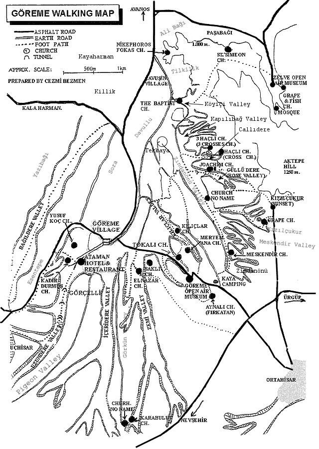
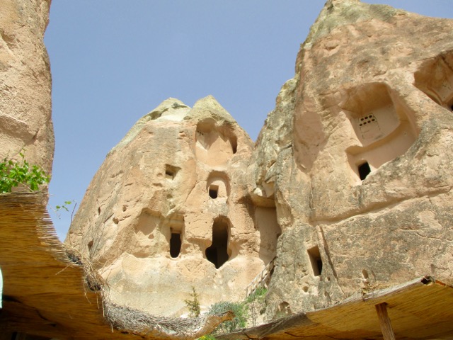
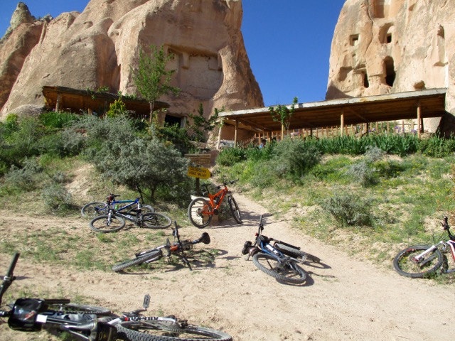
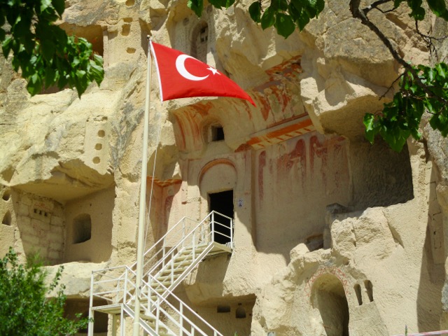
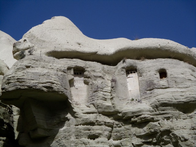
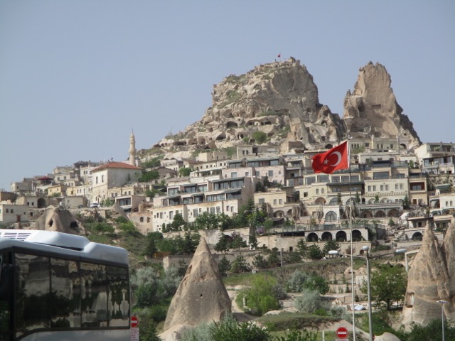
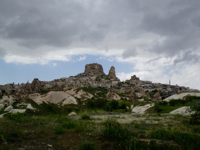
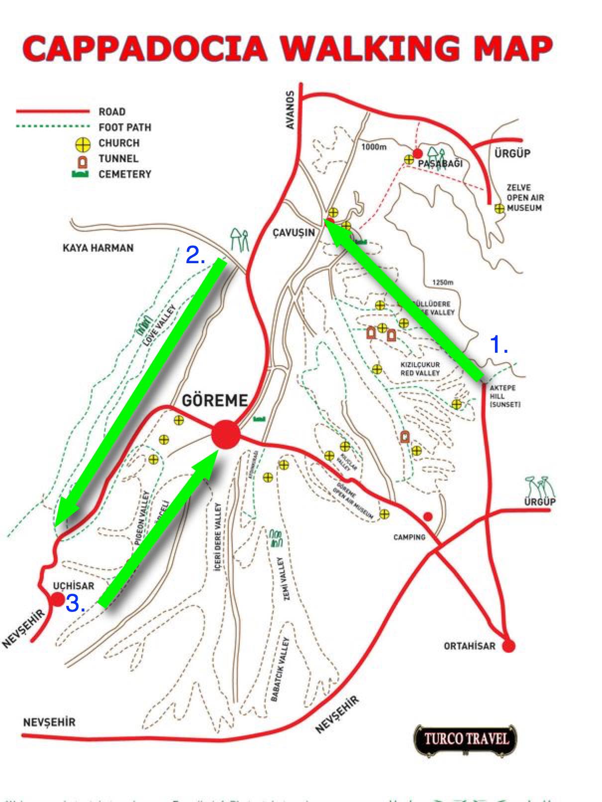
On arrival in Göreme someone will hand you a FREE hiking map.
Most wander around with this thing … frequently getting lost. We could find no decent map nor guidebook in 2017.
For 6 days I hiked and cycled many of these trails, often lost, before finally deciding on what I felt was the best hike.
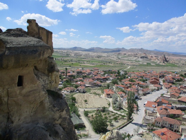
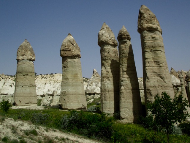
Ask the people at your accommodation in Göreme how to get to the Rose Valley Panoramic viewpoint. They’ll likely recommend a taxi and tell you the price. It’s about a 15 minute drive uphill from town.
There is a small entry fee for Panoramic viewpoint. The taxi may drop you outside the gates.
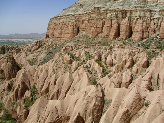
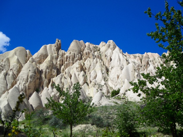
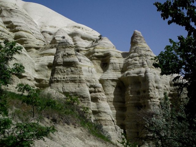
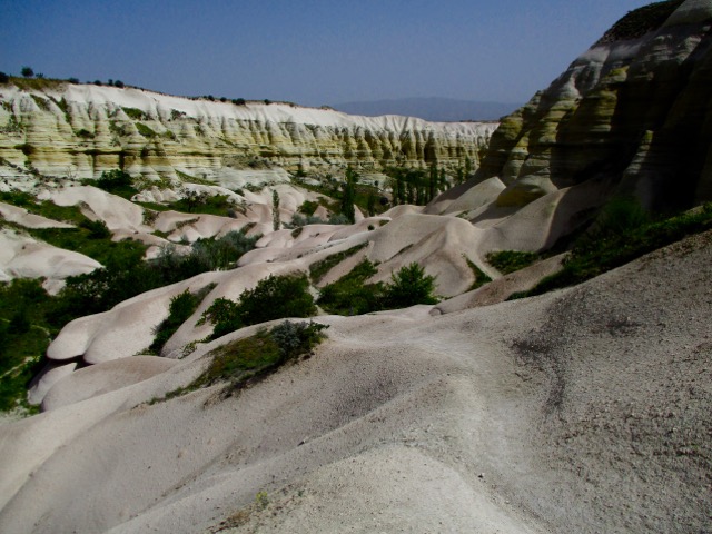
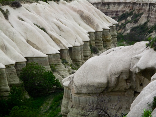
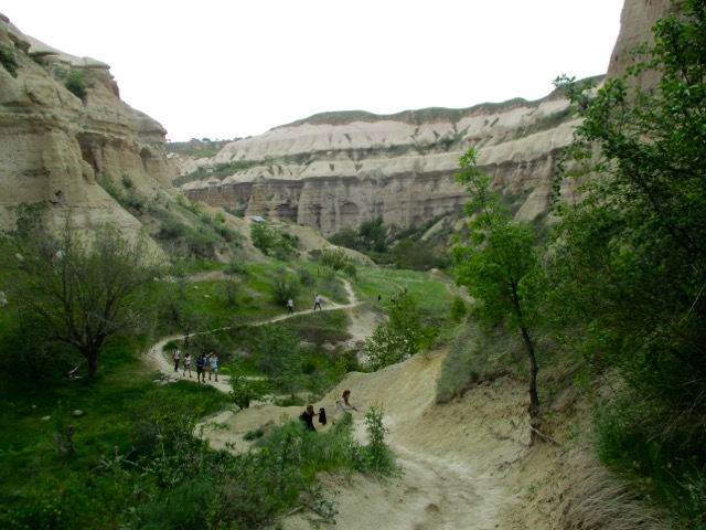
Most feel Rose Valley trail. 5km to Caveusin is the best hike of all. And I’d agree.
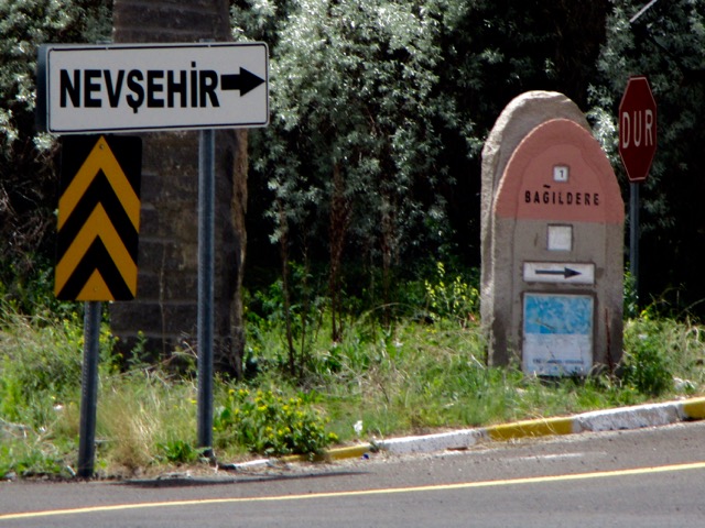
Note that most of the trail signage is in Turkish.
There are many twisting and turning trail options. All are good but the very bottom of the valley might be muddy.