
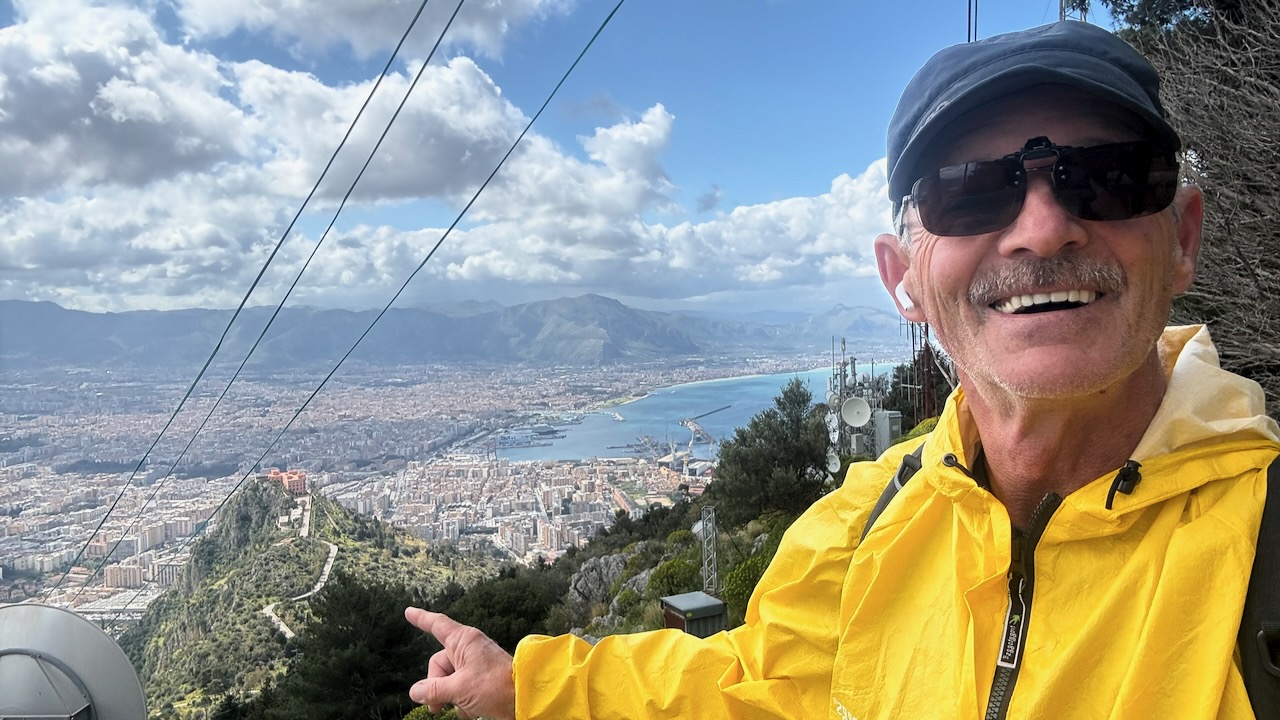
Trip report by BestHike editor Rick McCharles
Mount Pellegrino (Italian: Monte Pellegrino; Sicilian: Munti Piddirinu) is an isolated carbonate rock promontory on the northern coast of Palermo, Sicily, Southern Italy.
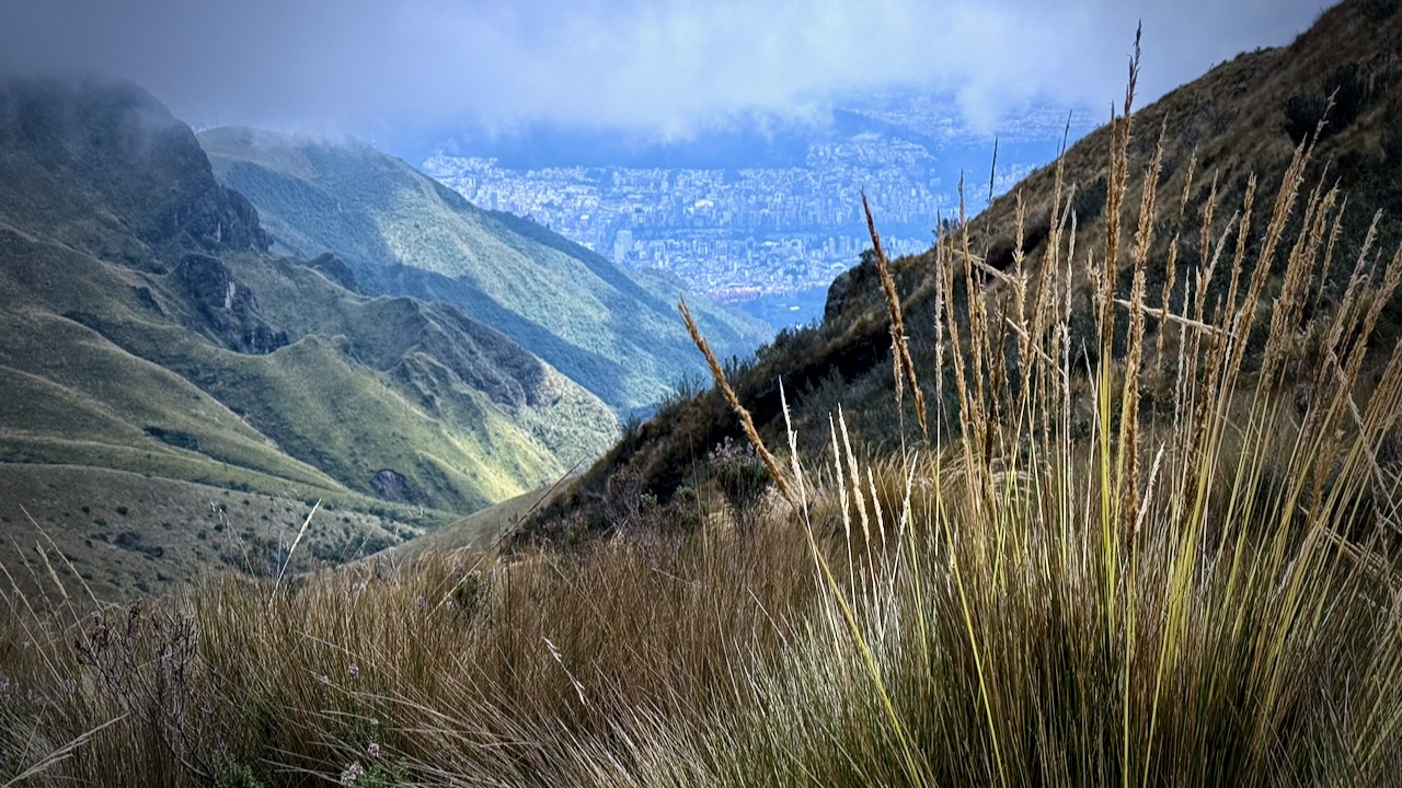
It has an altitude of 606 meters (1,988 ft) above sea level, making it the highest peak within the city perimeter …
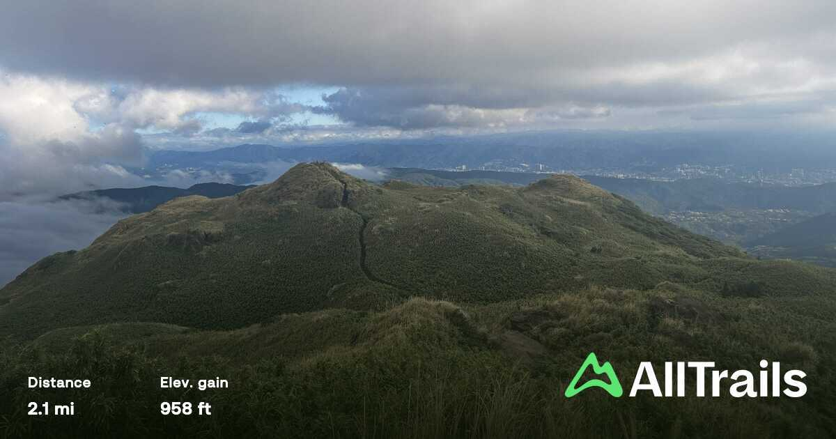
I followed the AllTrails route called Acchianata – Salita Santa Rosalia.
Religious followers climb on the night of September 4 for the anniversary of the death of Santa Rosalia, patroness of the city of Palermo.
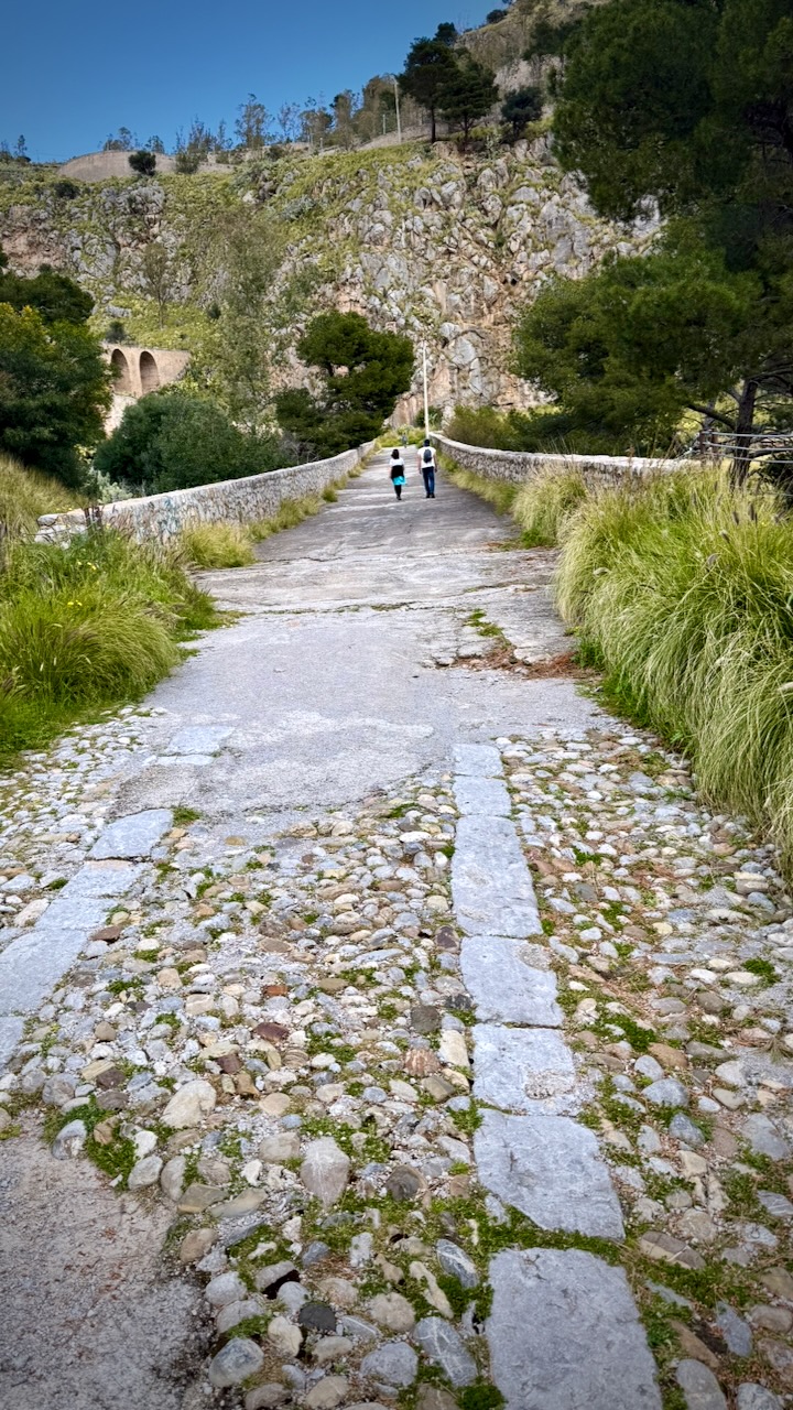
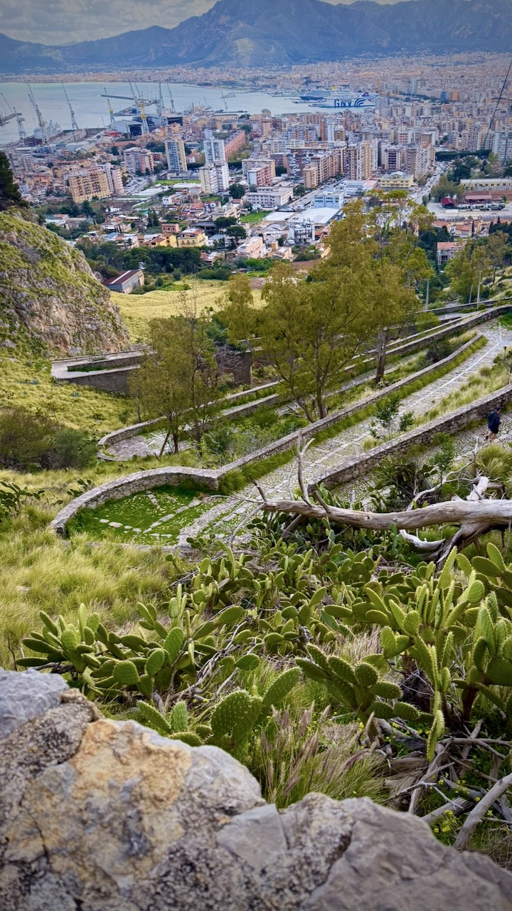
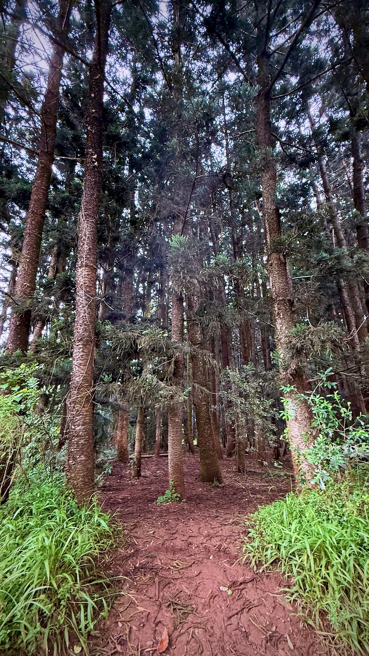
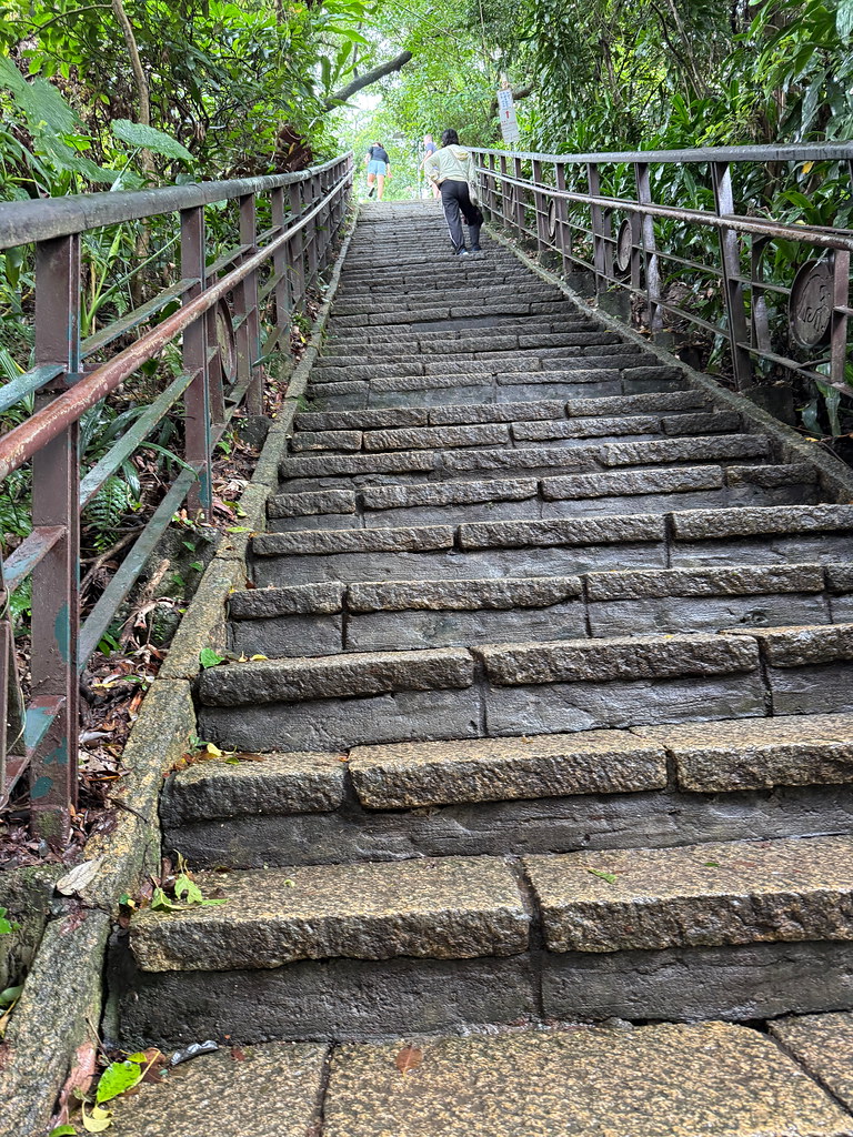
The “Scala Vecchia” (Old Stairway/Acchianata): This is the classic pilgrimage path. It is a broad, cobbled stone road that switchbacks up the mountain.
- Distance: ~7 km round trip.
- Duration: Approximately 1.5 to 2 hours to reach the sanctuary.
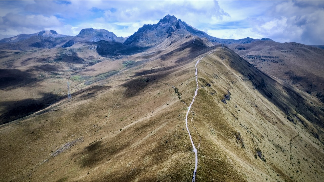
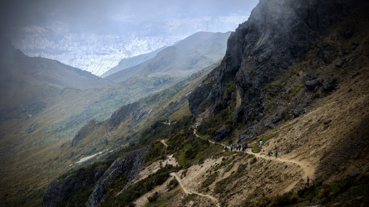
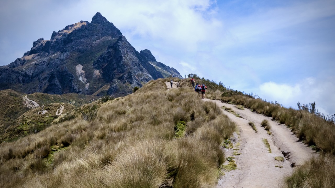
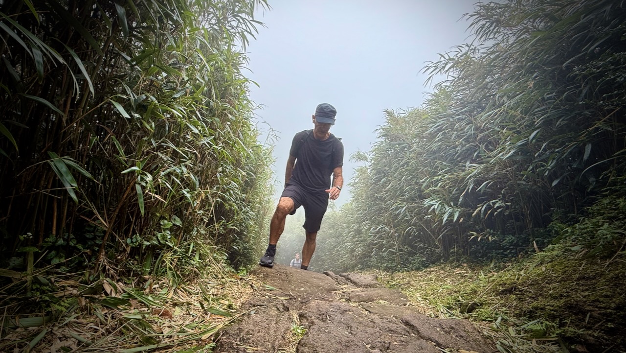
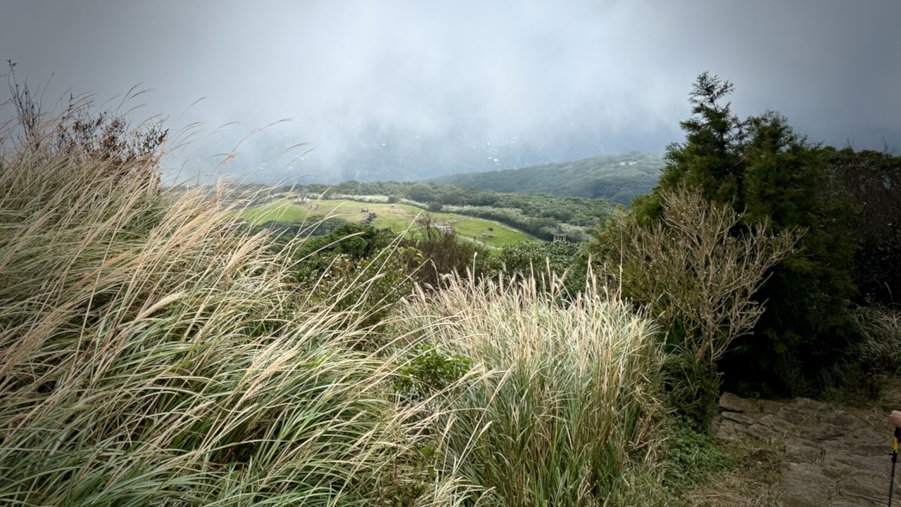
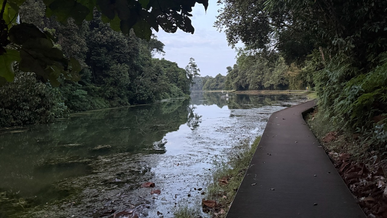
There’s actually a network of seep trails and roadways, making Pellegrino popular with cyclists and trail runners.
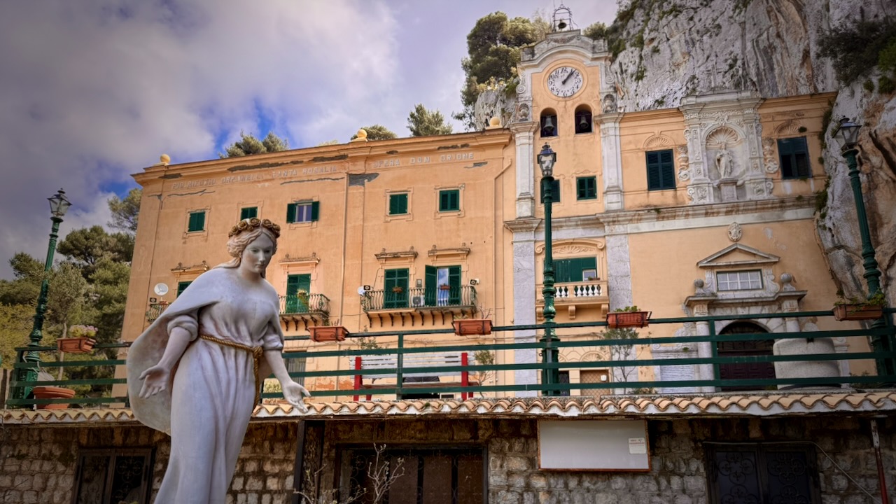
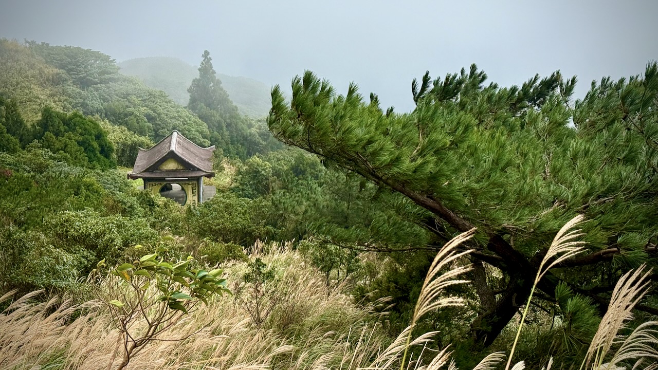
My hike was supposed to finish at the Sanctuary of Santa Rosalia. There’s a bus back from here.
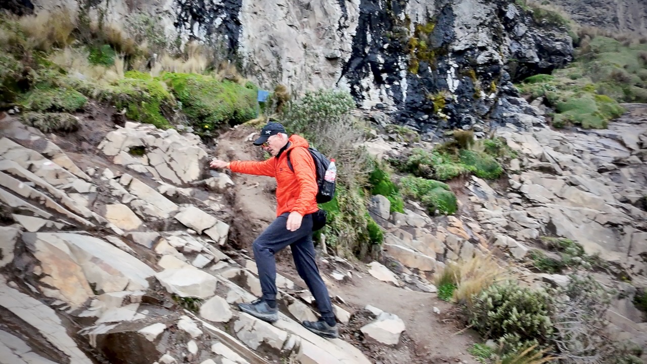
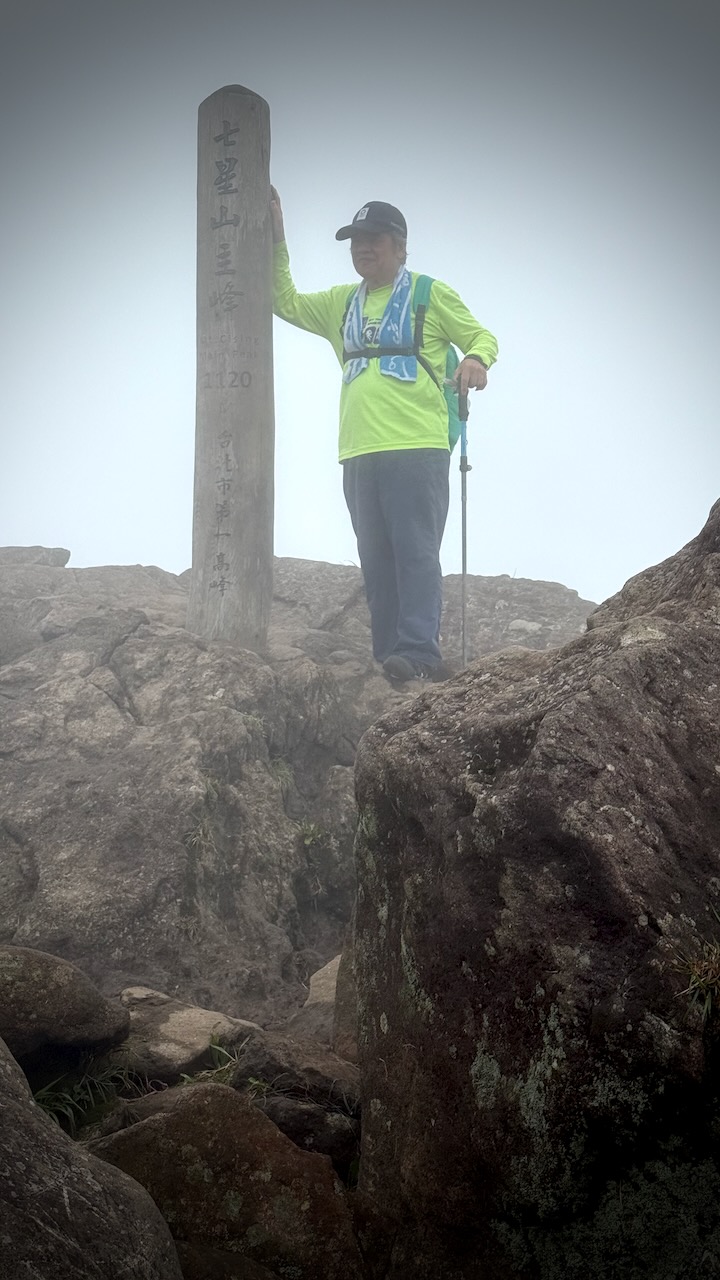
But I decided to add another km, or so, and make my way to the top on a narrow, little used trail I saw on Maps.me.
I took a shortcut on this road back to the trail. And walked down the way I’d come up.
A good workout.
Yes. Same spelling as S.Pellegrino — but the brand is named after the town of San Pellegrino Terme in the province of Bergamo, Lombardy, where the water has been bottled since 1899.
Pellegrino means pilgrim.


