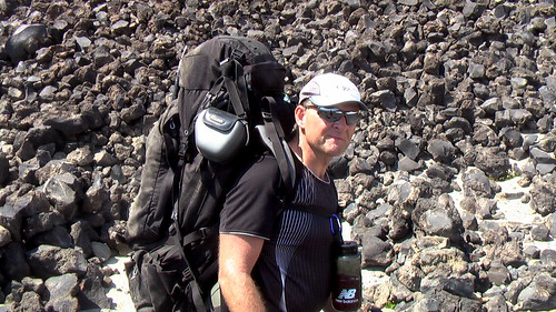
Sadly I did not make it out to the New Year’s Eve adventure party hosted by Dave and Lisa Adlard, in Idaho.
Many of my Adventure Racing Team were there. The outdoor activities were extreme due to the record snow fall in 2008.

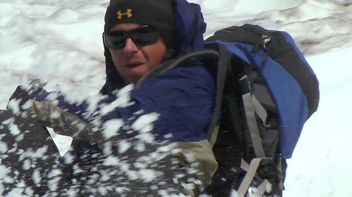
… It was very interesting to snowshoe along trails that we run and bike so often during the rest of the year: your normal landmarks are muted, and distances are thrown off, but the snow makes everything look like a real winter wonderland!
At the edge of the park, we decided to make our way to Scout rocks, which we had been to countless times on foot, but never in four to five feet of snow! We were warned that if we continued, there were no more directional signs, and no groomed trails, which suited us perfectly, and off we went.
The trail, if you can call it that, is mostly uphill to the rocks for about 3/4 of a mile, and the fact that we were walking was more than made up for the fact that the snow laden branches were now at face level.
Once we got to the base of the rocks, we started our way up the near vertical cliff, covered in feet of snow, with crevasses, roots, and boulders hidden underneath! It was awesome! …


 A 27-year-old Oregon climber who survived five days on southern Washington’s Mount Adams with a broken ankle told rescuers he ate centipedes and drank water from creeks as he tried to crawl to safety. …