My old hiking buddy from South America 2004, Canadian Grant Assenheimer, just climbed down from the high Himalayas. He was on a “holiday” between assignments for Doctors Without Borders.
From Grant’s email:
Just got back from ABC and had a fantastic time. The ‘scare’ tactics used by the tour companies almost had me convinced that I should take a guide but it is TOTALLY NOT NECESSARY. Pass the word! Even if you are only moderately fit, you can easily do any of the teahouse trekking without a guide or porter.

larger version – flickr
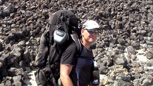
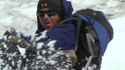
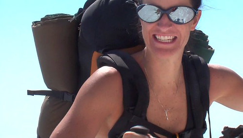
My favorite day was a scramble up from the Annapurna Base Camp (ABC). Although most people stop at ABC, I rounded up a couple of New Yorkers and the 3 of us did this great day trip UP to the base camp for Tent Peak, one of the smaller ‘trekking peaks’ in the area. We started at 4100 m, went down and crossed the stone-covered glacier and then climbed to 4800 m via a steep morrain, icy river through a narrow gorge and finally a bit of a slog through steep high-altitude grassy slopes. This gave us GREAT views of the Annapurna Range, Machapuchre and some other ‘lesser’ 5 and 6 thousand meter peaks. The way UP was a bit challenging (ie. GREAT) because we didn’t see the PATH until we were already pretty much at the top. Lets just say that the way down was MUCH easier and didn’t involve navigating that icy river in that steep canyon or the 60 degree grassy slopes…
I also read Annapurna by Herzog during the hike. Wow. All I can say is that the Nepal of today is NOTHING like the Himalayas of the early mountaineers. I mean, they actually walked in from India. No apple pie or internet cafe waiting at 4000 m for them. What a story.
I started in Phedi, walked to ABC and then came out via Gorenpani and Poon hill. Truly spectacular and worth putting up with everyone else for the views. Definitely NOT a wilderness experience but if you go in without expecting one, its a great time.

larger version – flickr
Thanks Grant.
The Base Camp is the best side trip off the famed Annapurna Circuit.