trip report by site editor Rick McCharles
day 1 | day 2 | day 3 | day 4 | info
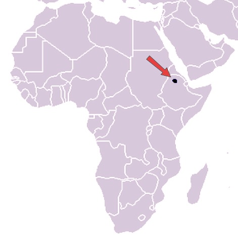
Day 1: Gondar-Sankaber (3250 m), 3-4 hours walking
6:30am Ethiopian coffee
7am pick-up at the (recommended) L-Shape Hotel in the tourist town Gondar. Room about $13 in 2014.

It was an easy 2hr drive to Debarq, the jumping off point for Simien Mountains National Park. Quick stop at the National Park office.


We had breakfast at the Great Work Hotel. Excellent Mango juice.
Our car returned with gear, guide, cook and … personal armed Park Ranger. They call themselves Scouts. A guard is still required for each trekking group in 2014, though these days it’s more of a make work project for the Rangers.
We drove through the Park gates and continued about another hour.

This road is rough. Though it was being improved while we were there.

We’re HERE. Trekking the Simien mountains. What a thrill.

I’d joined Josh and Nadine, a couple from Edmonton, Canada who have been volunteering in Burundi for the past 2 years.

Here’s our excellent Guide, Adoo.

And our Scout, Adim.

Immediately we headed for the great escarpment.

It’s a long, long way down. About 800m here.


Local people are everywhere. This is a shared use National Park.


We heard that road and power lines being moved further away from the trekking route. I hope that’s true.

Adoo detoured from the cliff when he spotted a group of 200-400 Gelada baboons. (more photos)

Geladas are found only in the high grassland of the deep gorges of the central Ethiopian plateau. They live in elevations 1,800–4,400 m above sea level, using the cliffs for sleeping and montane grasslands for foraging. …
Geladas are the only primates that are primarily graminivores and grazers – grass blades make up to 90% of their diet. They eat both the blades and the seeds of grasses. …

They mate in May, have babies in November. Females were very protective of their youngest. Some looked like newborns.

We sat down and let the group graze past us. Some of the toddlers were curious enough to TRY to touch us.

What a fantastic 2 hours. This might be the best wildlife encounter anywhere in the world. It was my best wildlife encounter ever. 🙂
Simien was one of the first sites to be made a World Heritage Site by UNESCO (1978). Due to serious population declines of some of its characteristic native species, in 1996 it was also added to the List of World Heritage in Danger.
The word Semien means north in Amharic. But the name Simien and the word simian do make a good mnemonic for this hike. Geladas are the highilght. 🙂
Elated, we shuffled another hour or so to Camp 1. Talking about the baboons.


It’s a very easy half day, yet everyone was huffing and puffing due to altitude.
Popcorn and hot drinks on arrival were much appreciated.

I rested an hour. (I opted to use my own tent. Not the one supplied.)

We headed over to the ridge for the sunset, surprised how cold it was in Africa at night.

Josh got some great pics.


Dinner was impressive: soup, bread, fish, salad, spinach, deep fried banana. I skipped the salad (worried about my health) but tried some of everything else.

We checked the full moon, then retreated to our tents. There was no campfire. I climbed into 2 sleeping bags. The one provided. And my own. Everyone was surprised how cold it was at night in Simien.