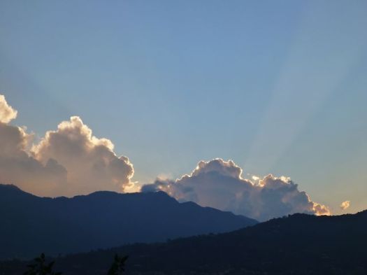
Ross, Jon and Guillermo get together every year for an outdoor adventure. Something they call the annual Pollard Memorial Trip.

For 2014 it was Mt. Shark trailhead near Canmore, Alberta to Assiniboine, Sunshine meadows, Egypt lake, Ball pass, Flow lake, Rockwall and finally the Ottertail river trail to exit near Field, BC.

Check Ross’s trip report and photos – the shultz gambit – Spray lakes to Field with a leaky tent
Guillermo posted a trip report as well:
The GDT runs as close as possible to the continental Divide (the BC/Alberta border) from the US border adjoining Waterton Park to Kakwa Lake some 1200 km north. …
For this trip we chose to hike a popular and well-travelled section in the middle running through two provincial parks and three national parks. …
I had identified this route as a possible solo hike option, but when both Jon and Ross expressed interest, we attempted it in 2013.That summer saw many trails destroyed by spring flooding and later some portions of the Rockwall were closed due to fires and bear problems. In addition, a worrying knee problem which I misdiagnosed as a torn meniscus forced us to abort our hike on the first day. Our 2014 attempt went much more smoothly …
—guillermobarron – The Great Divide Trail: 150 km from Shark Mtn. to Highway 1
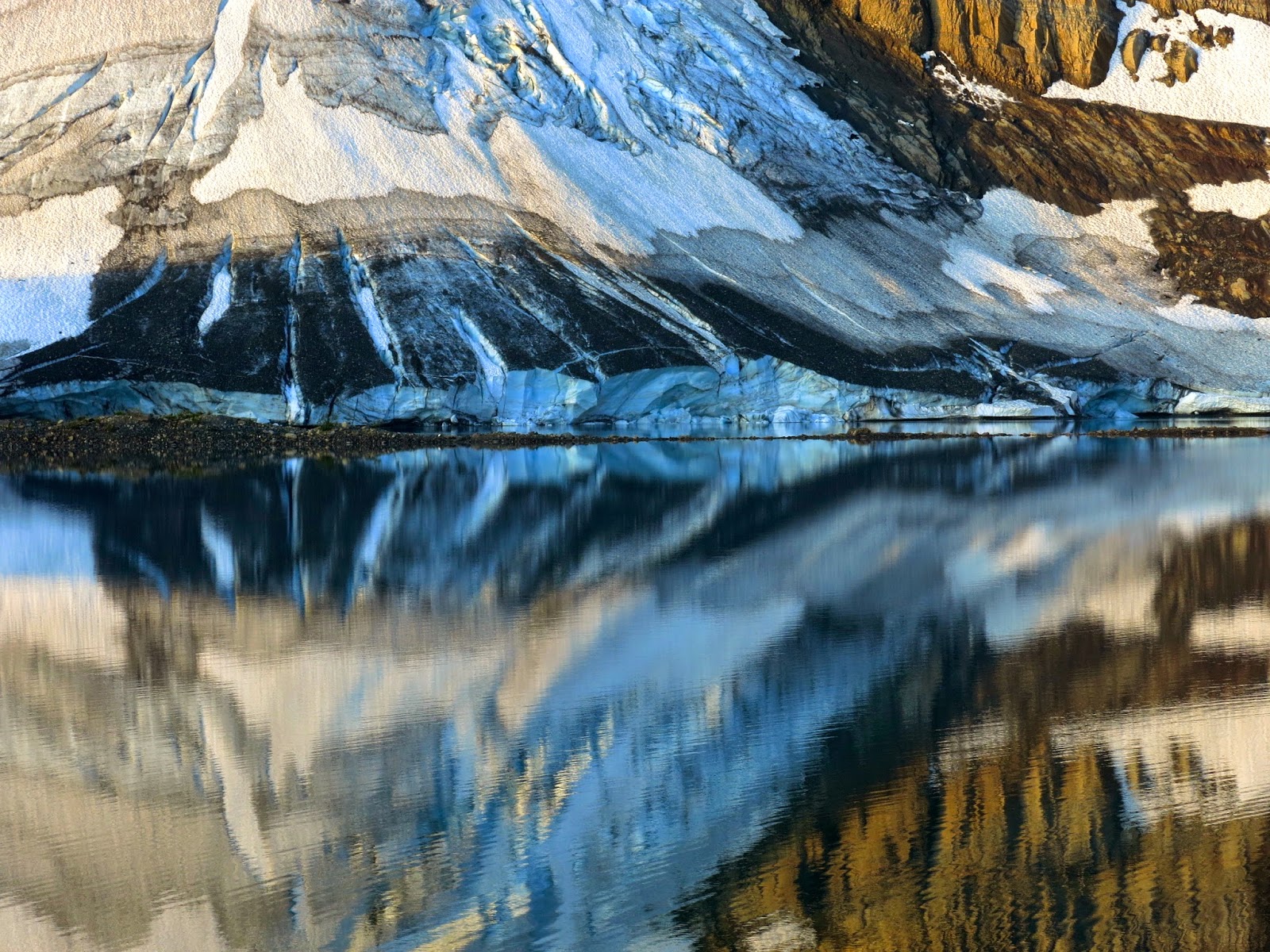
Finally, here are Jon’s black and white photos.
(via Hiking in Finland)