19 Days on the JOHN MUIR TRAIL

Trip report by BestHike editor Rick McCharles

INTRODUCTION

The John Muir Trail in California is our #2 hike in the world.

Click PLAY or watch it on YouTube.

Though I’d hiked almost every segment over the years, this was my first time hiking over 200 miles continually.

There are hundreds of excellent JMT Trip Reports online. For example, I enjoyed Jai’s joyful photo journal from Aug 11-30, 2021.

Rather than post a detailed day-by-day account, here I’ll simply recount some of my own HIGHLIGHTS.

If this page is too long ๐Ÿ˜€ … watch highlights of my trip in less than 5 minutes.

Click PLAY or watch it on YouTube.

FIRE & DROUGHT

Jai’s group finished one day before Forest Fire closures were announced.

We were lucky too. Aug 7 – 24, 2021. No closures. Haziest day was Aug 23rd near Whitney.

Climate change will โ€” in future โ€” increasingly make thru hikes of the John Muir Trail more difficult.

LIGHTNING

The other big worry on the JMT is afternoon lightning. This season Nicholas Torchia, 37-years-old, died after trying to take cover by leaning against a tree while hiking close to the John Muir Trail.

FRIENDS

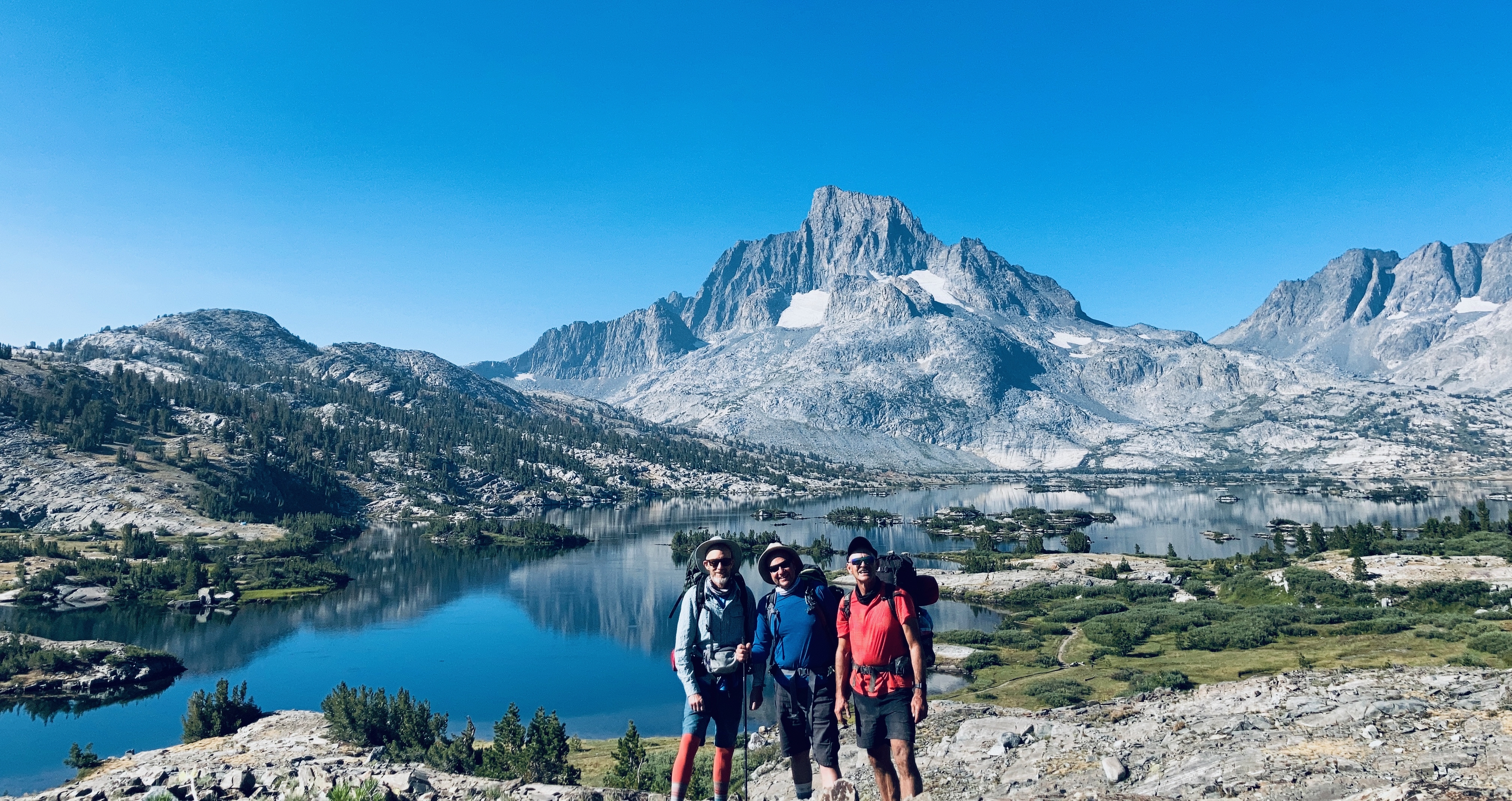
For this adventure, I was happy to have my old hiking buddies Brian and Rocco join me for the first week.

Hiking with friends is more fun. But logistics more complicated.

Under my failed leadership in the past, we are known as the Backcountry Bunglers. AND we managed to bungle logistics again โ€” though the hiking itself was superb.

We had Pacific Crest Trail 500+ mile permits rather than JMT permits. PCT are much easier to get. BUT require that you start exactly the day and trailhead on the permit. Also, you have to carry a print copy. Lessons learned.

Thousand Island Lake

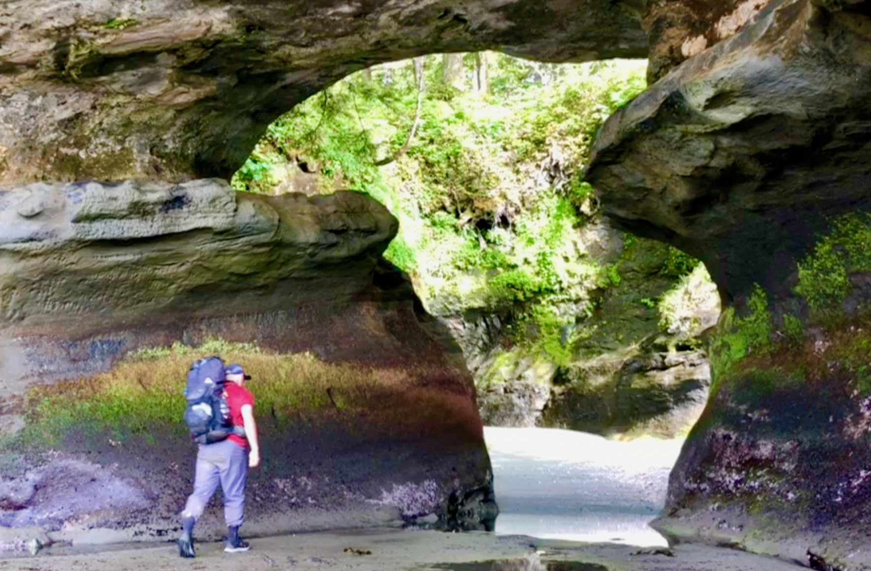
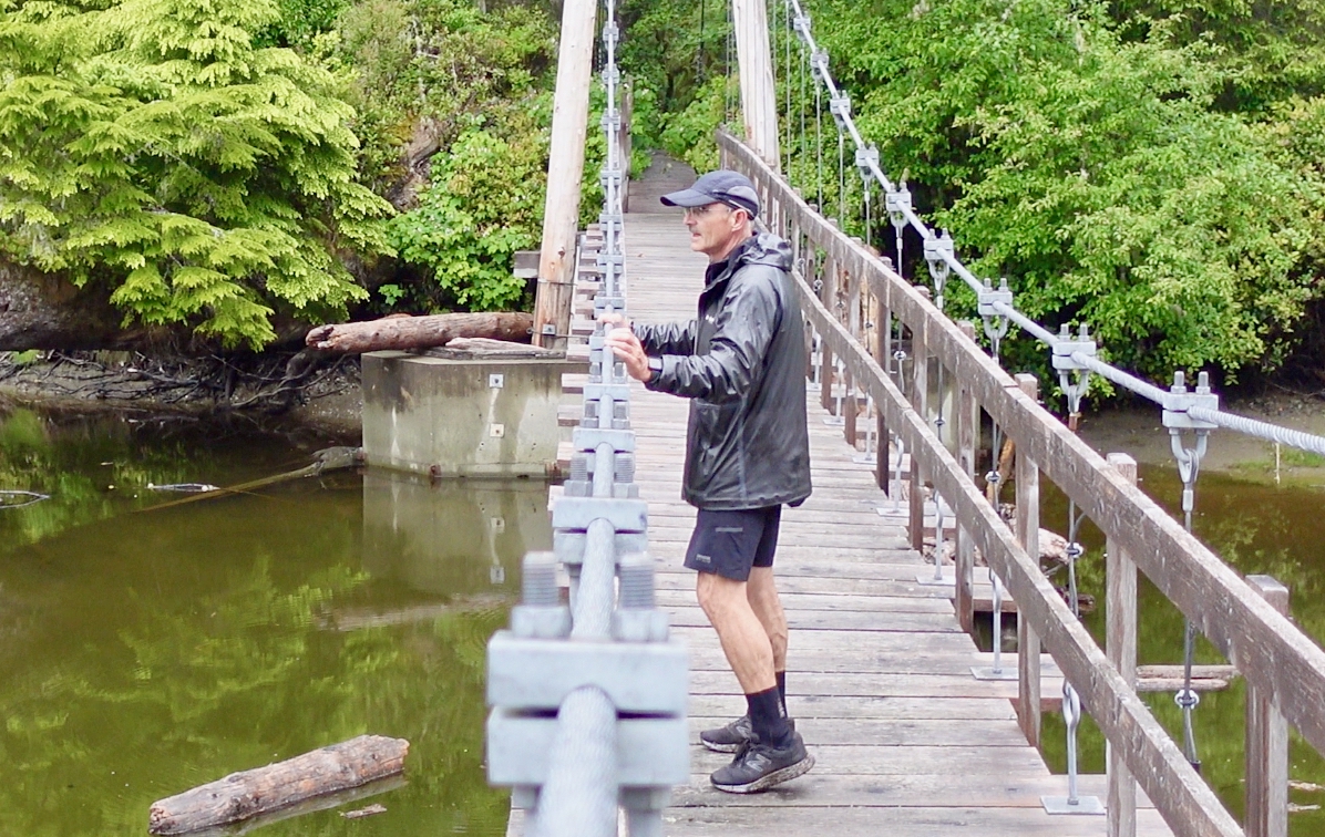
Near Reds Meadows we made the short detour to Rainbow Falls.

And Devil’s Postpile.
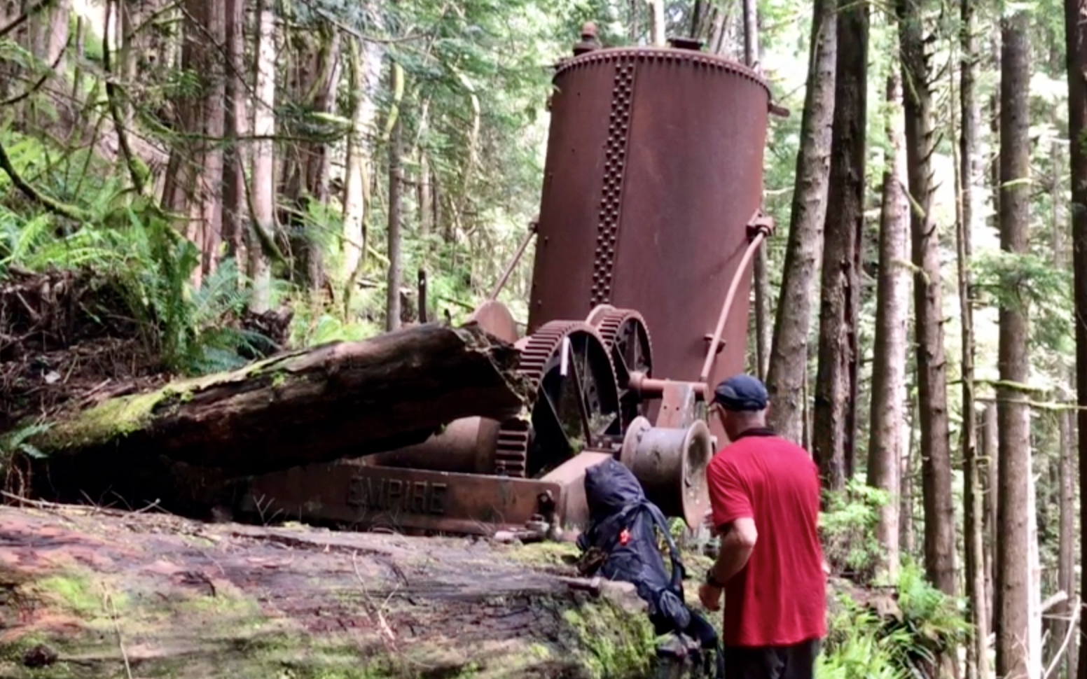
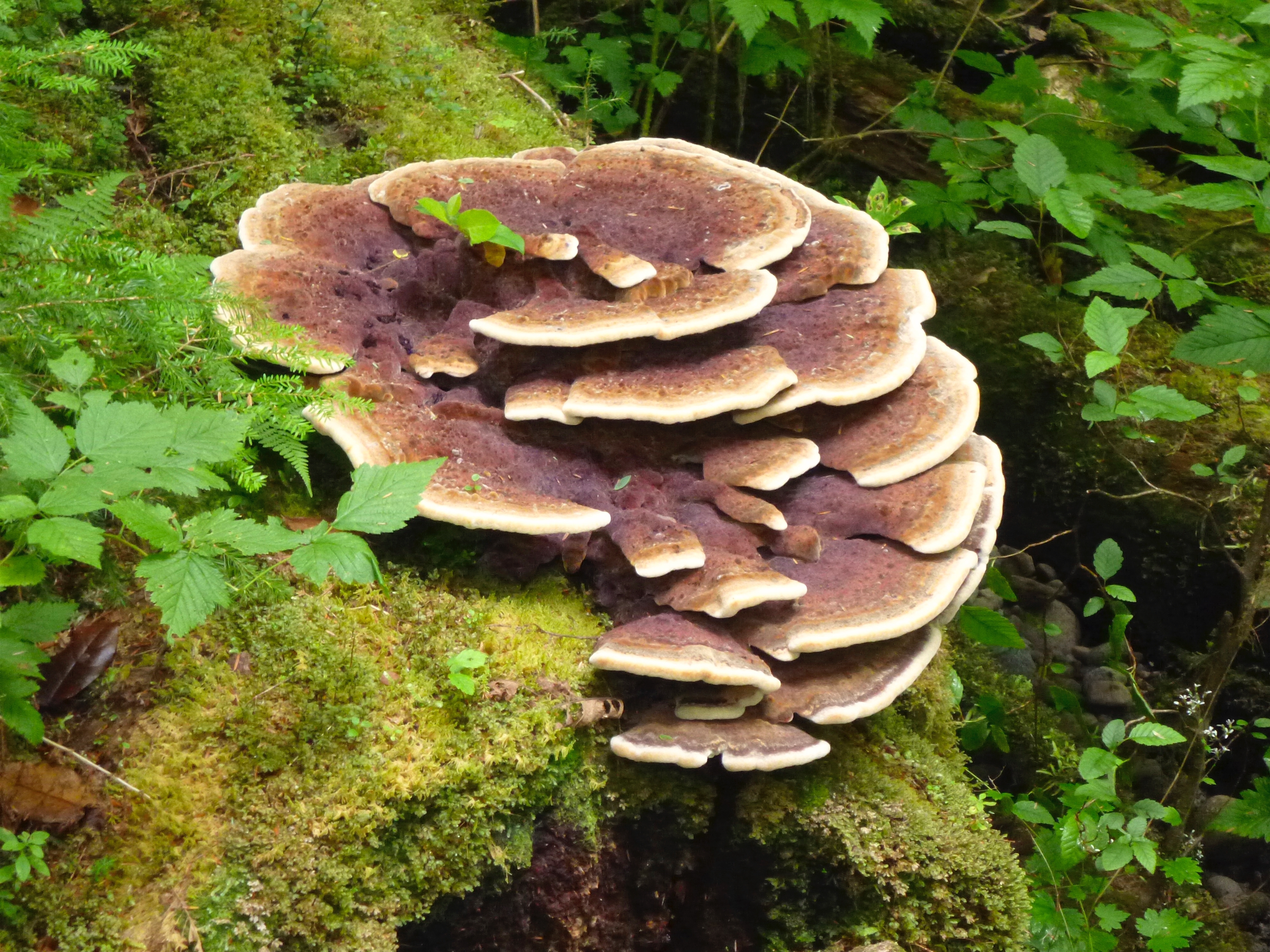
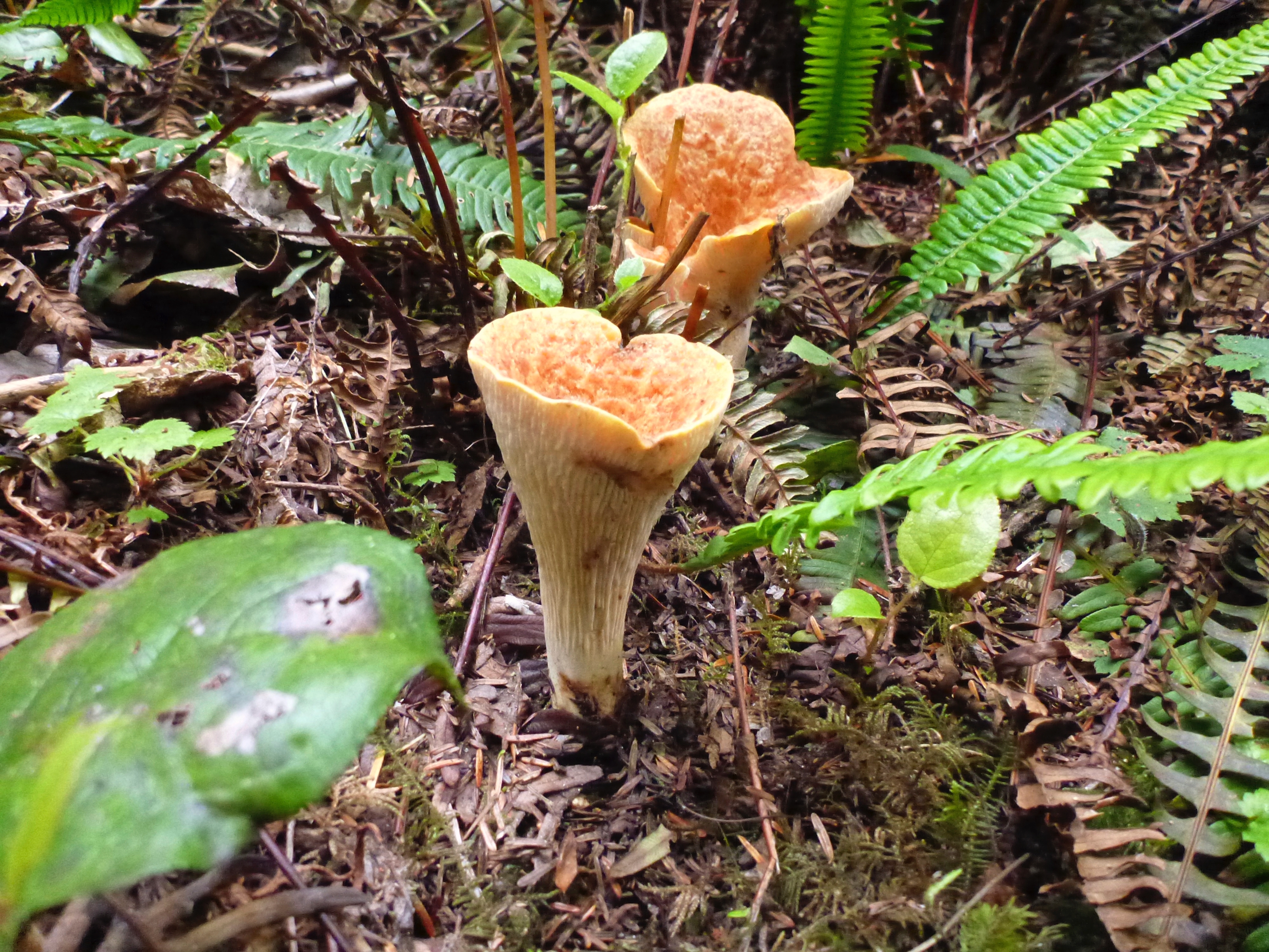
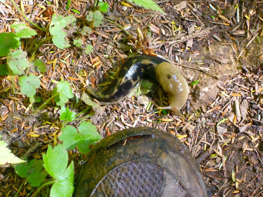
TREES

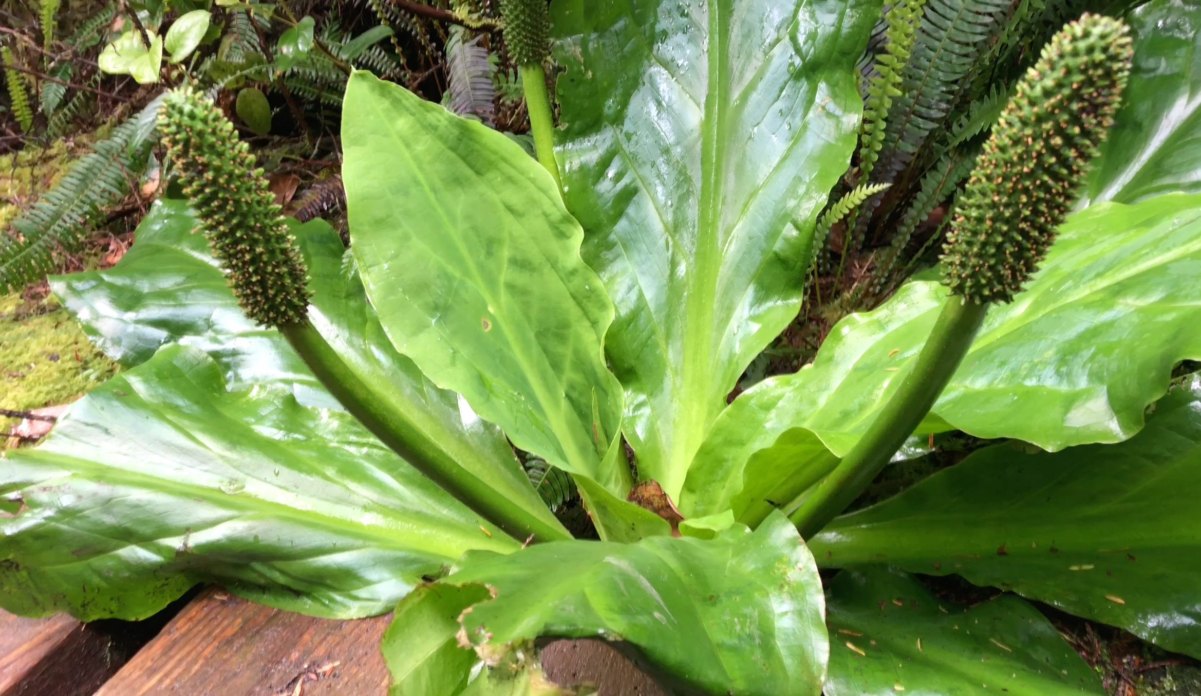
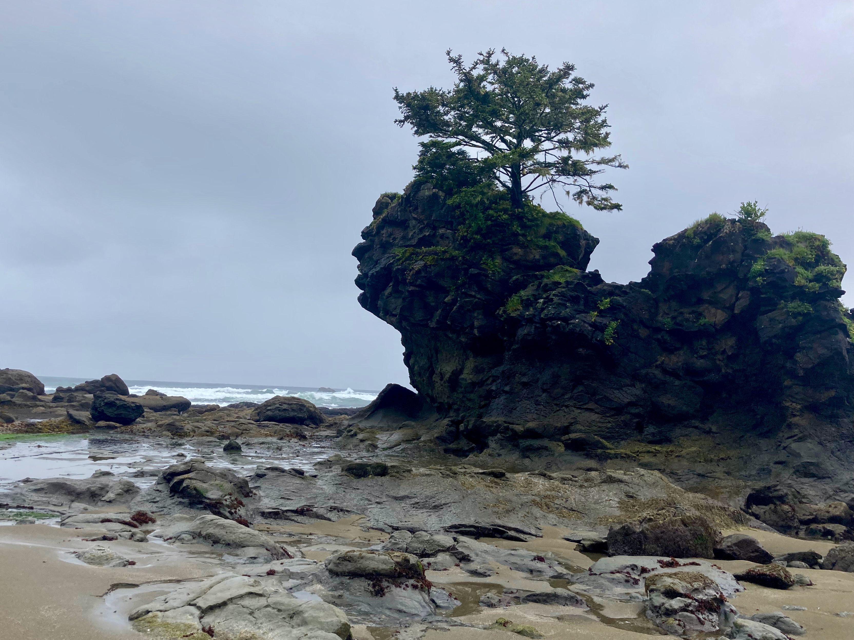
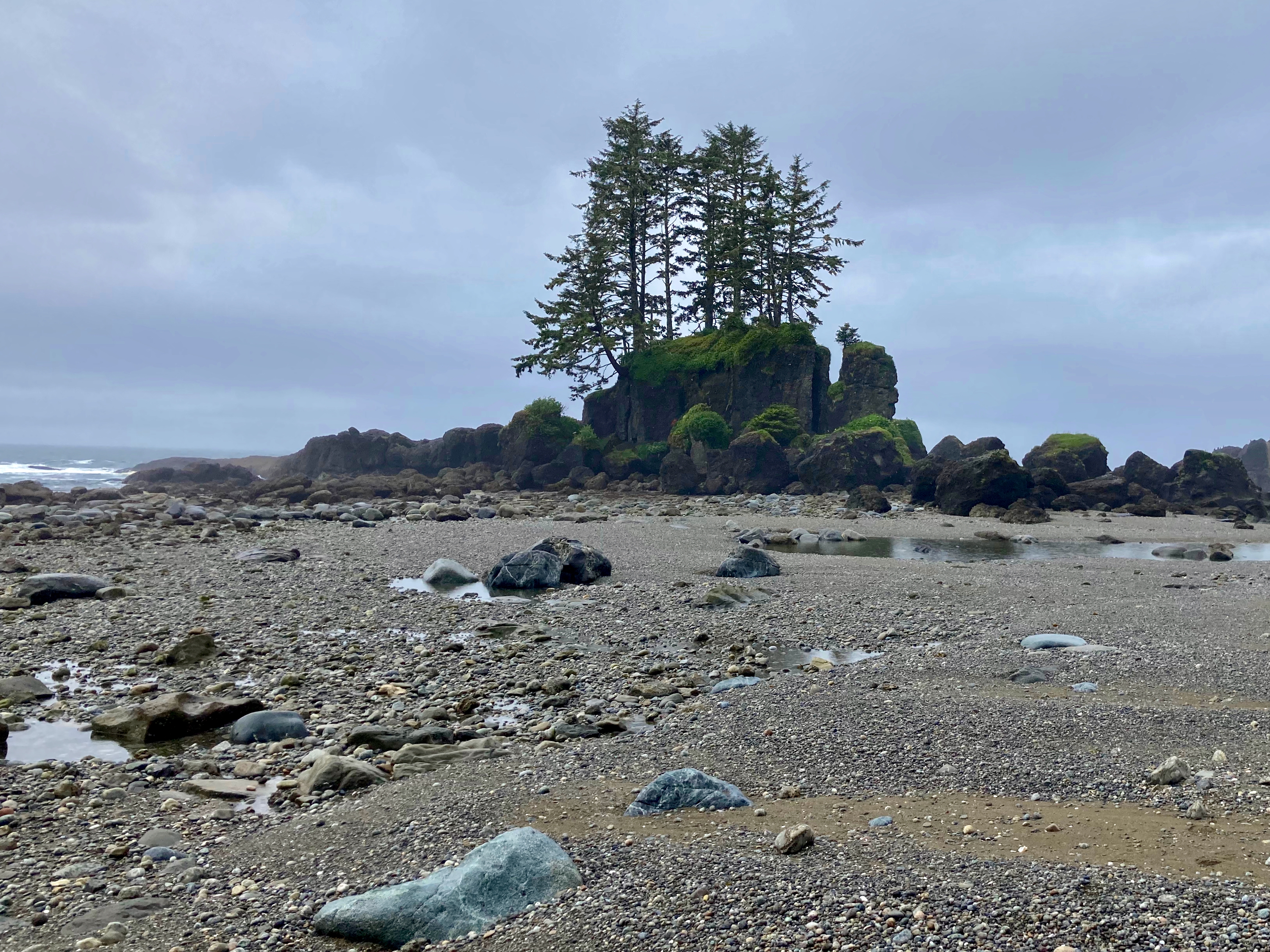
Rocco is a student of flora and fauna. He particularly enjoyed the many kinds of beautiful (and weird) trees.

FOOD

When in town we felt obliged to CARBO LOAD in advance of our freeze dried future.

One of our favourite restaurants was Breakfast Club in Mammoth.

On the trail my dinners were mostly based on ramen, instant mashed potatoes and instant stuffing. REAL bacon pieces were one of my treats as were Jelly Belly.
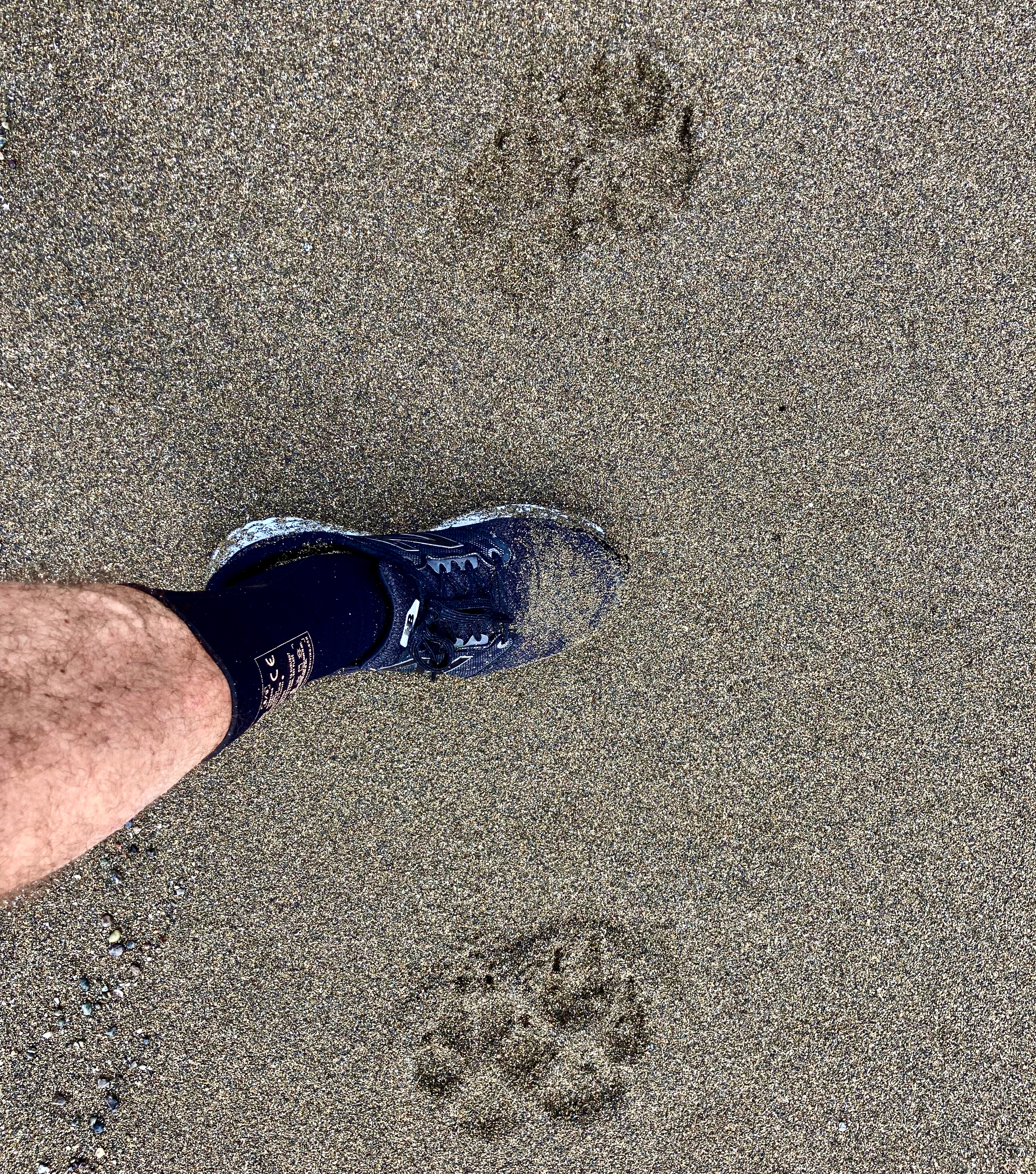
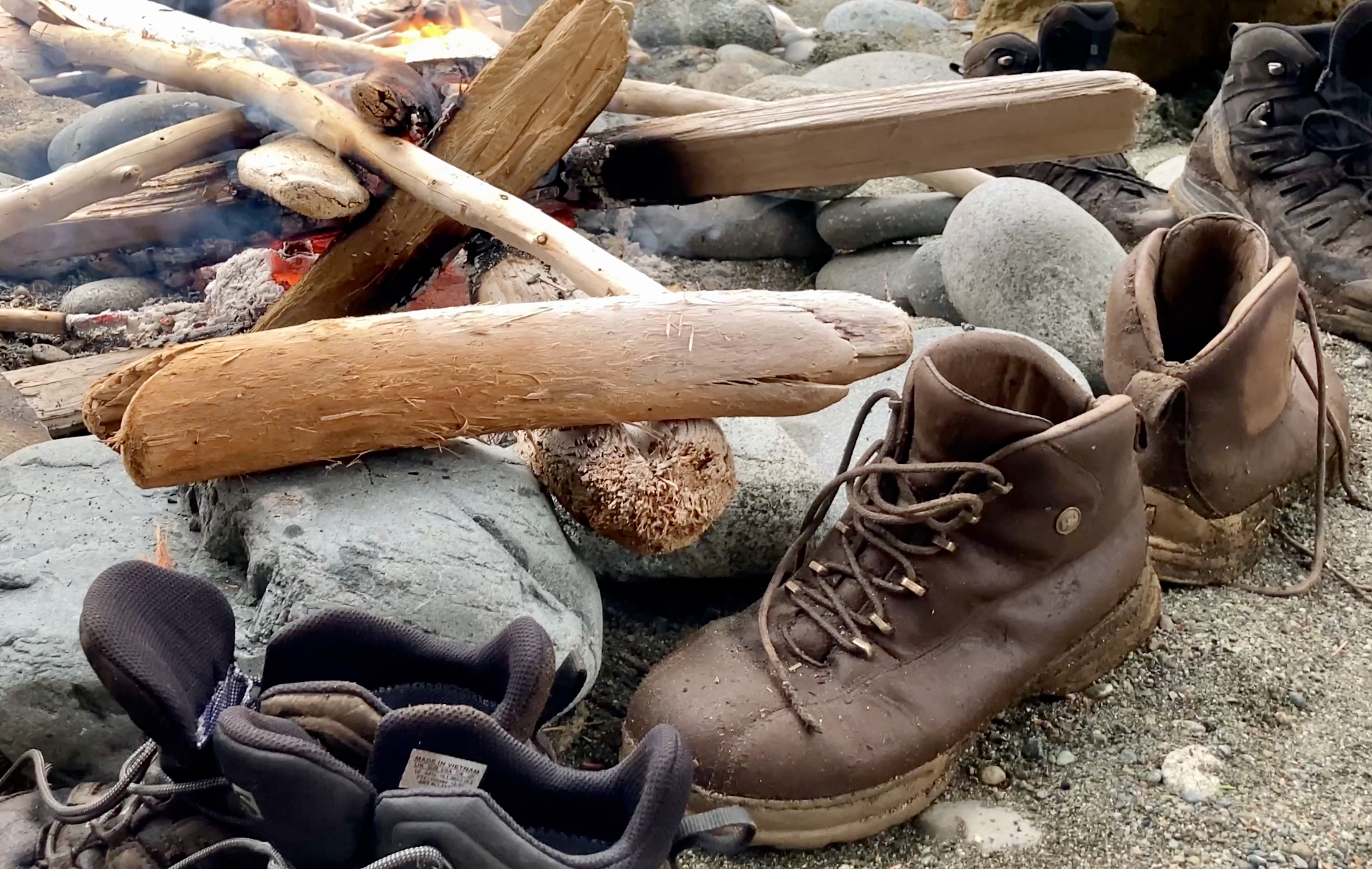
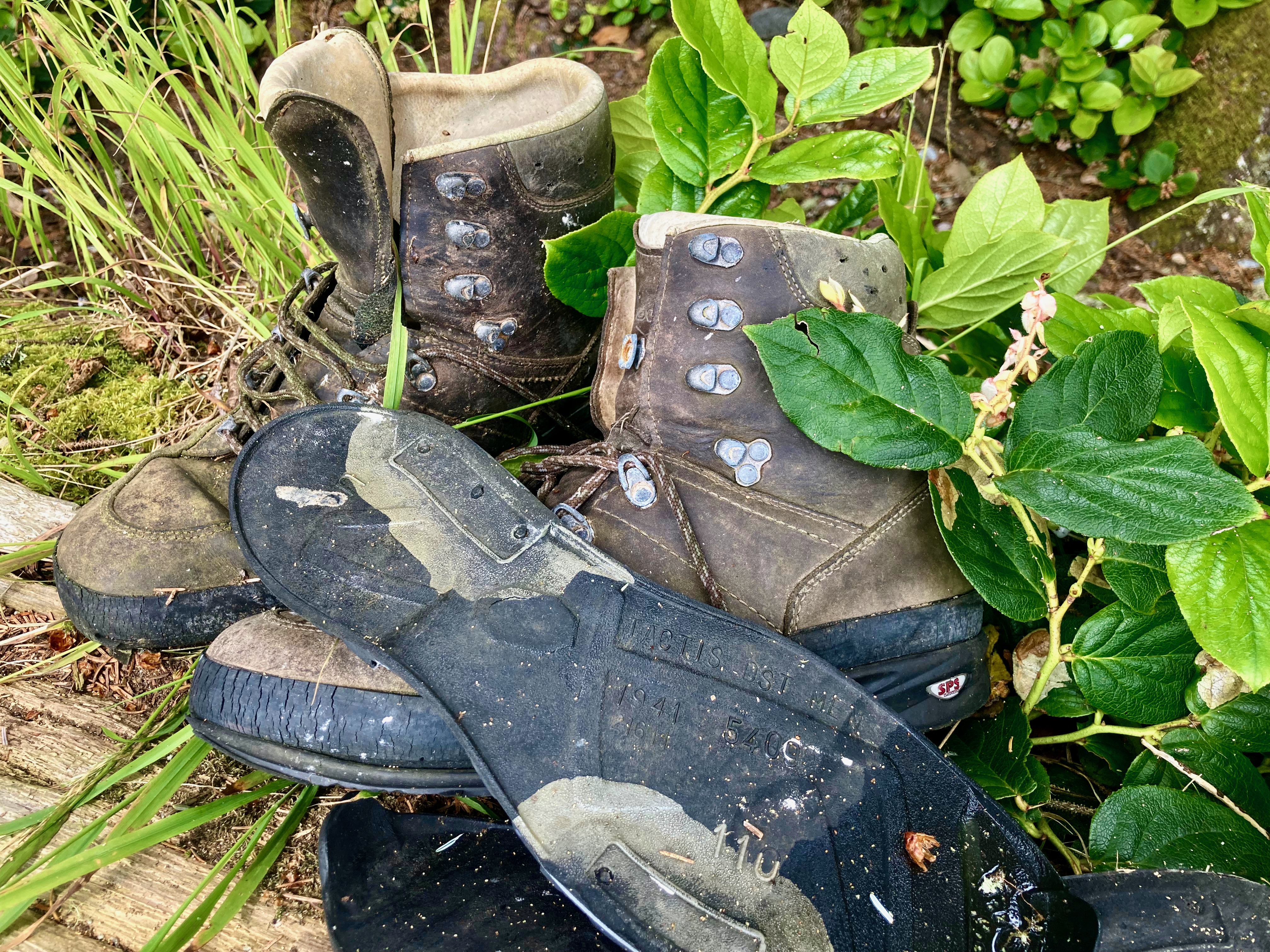
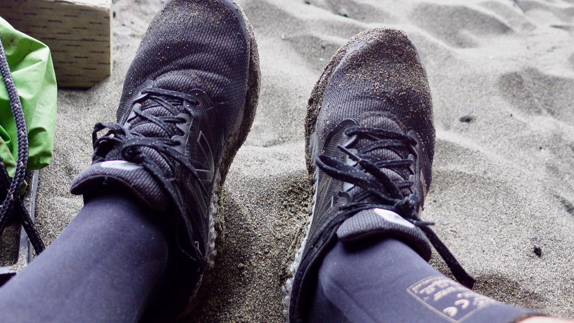
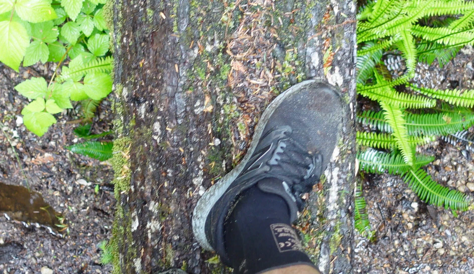
FEET

Critical to a successful hike is footwear and foot management.

What worked best for me in the California dry heat was trail runners and Injiji toe socks. In fact, I left my usual Merrell Moabs in Mammoth after the first 5 days.

I cleaned and cooled my feet as often as possible during the day.

Mid-day I’d stop for about an hour to use solar power to recharge my devices.
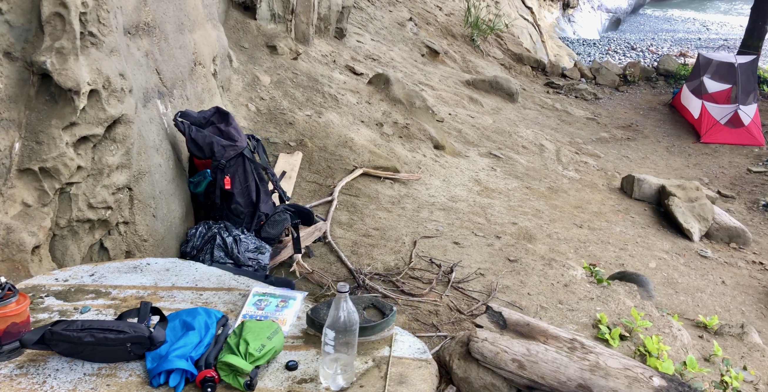
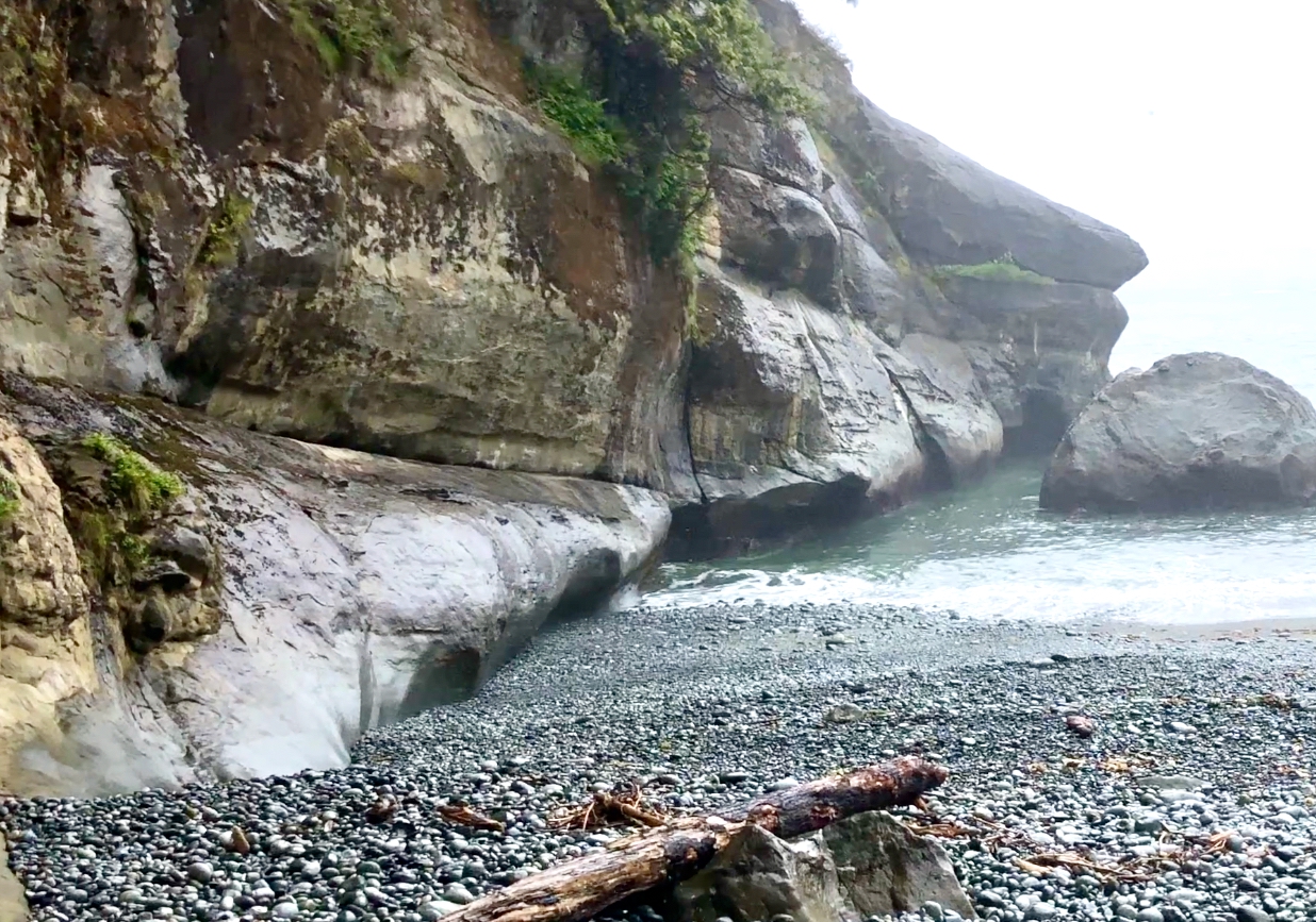
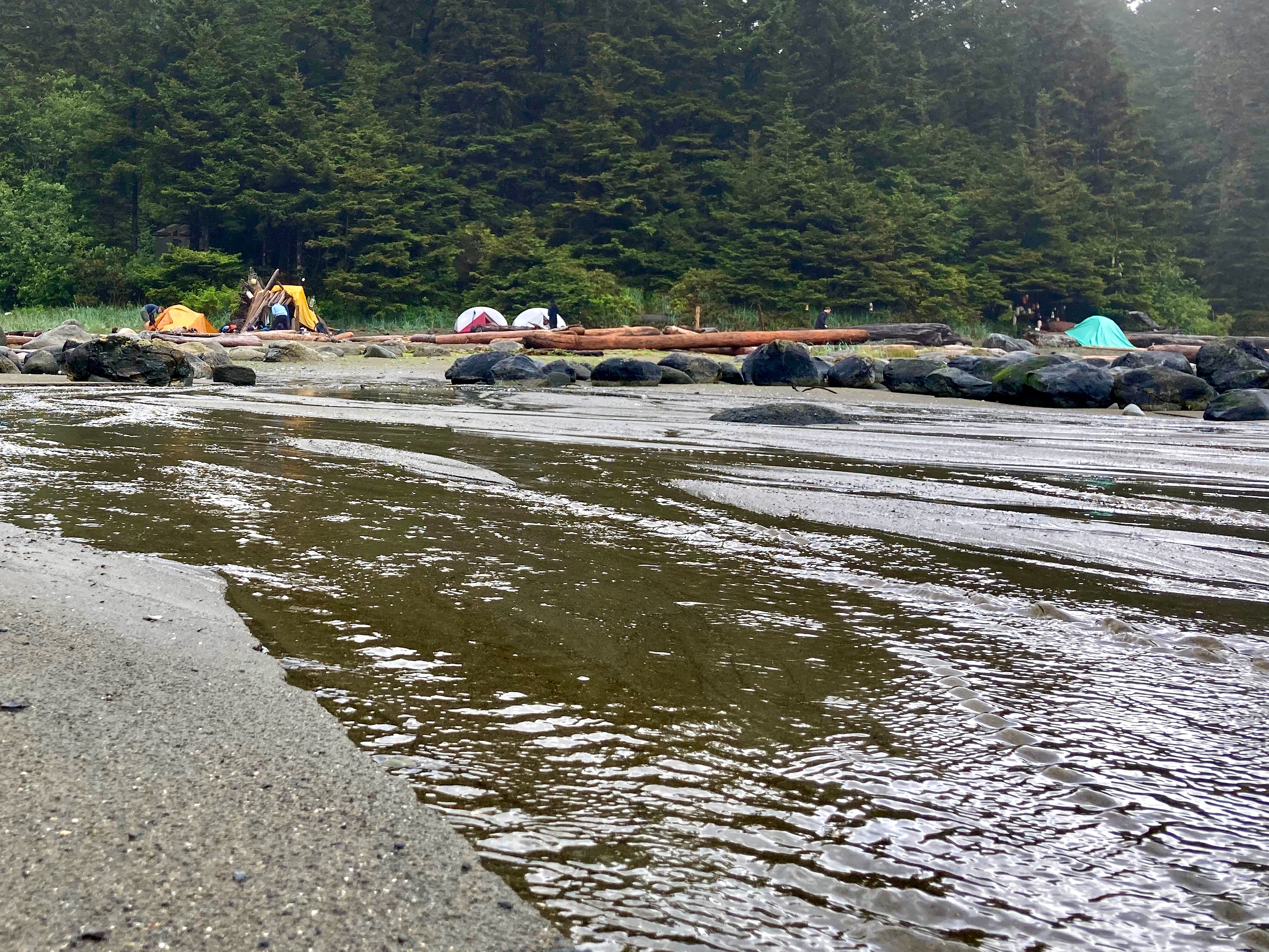
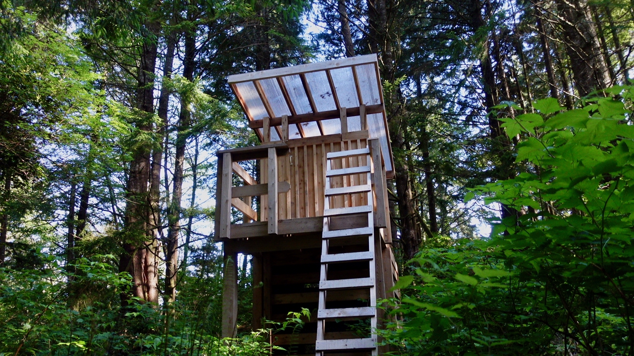
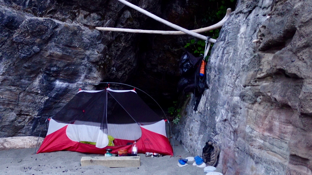
CAMPSITES

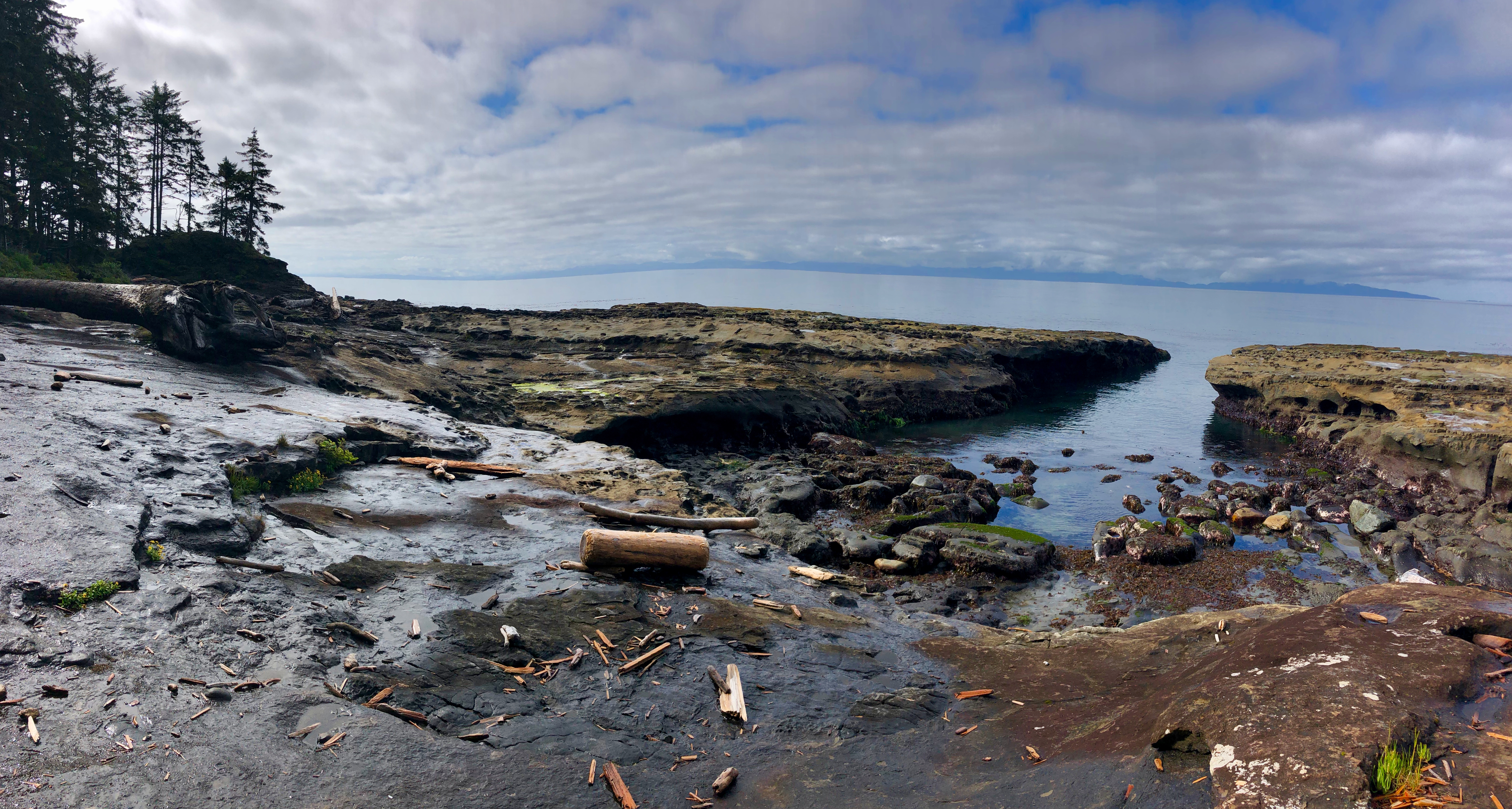
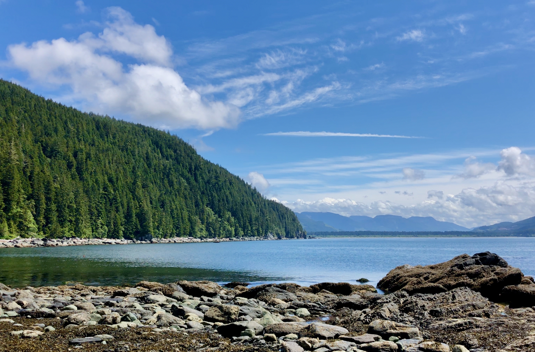
In the Sierra Nevada there are plenty of opportunities to wild camp. Set up your tent anywhere not too close to water. … Unless it’s posted.

Late afternoon we had set up our tents … before noticing this sign.

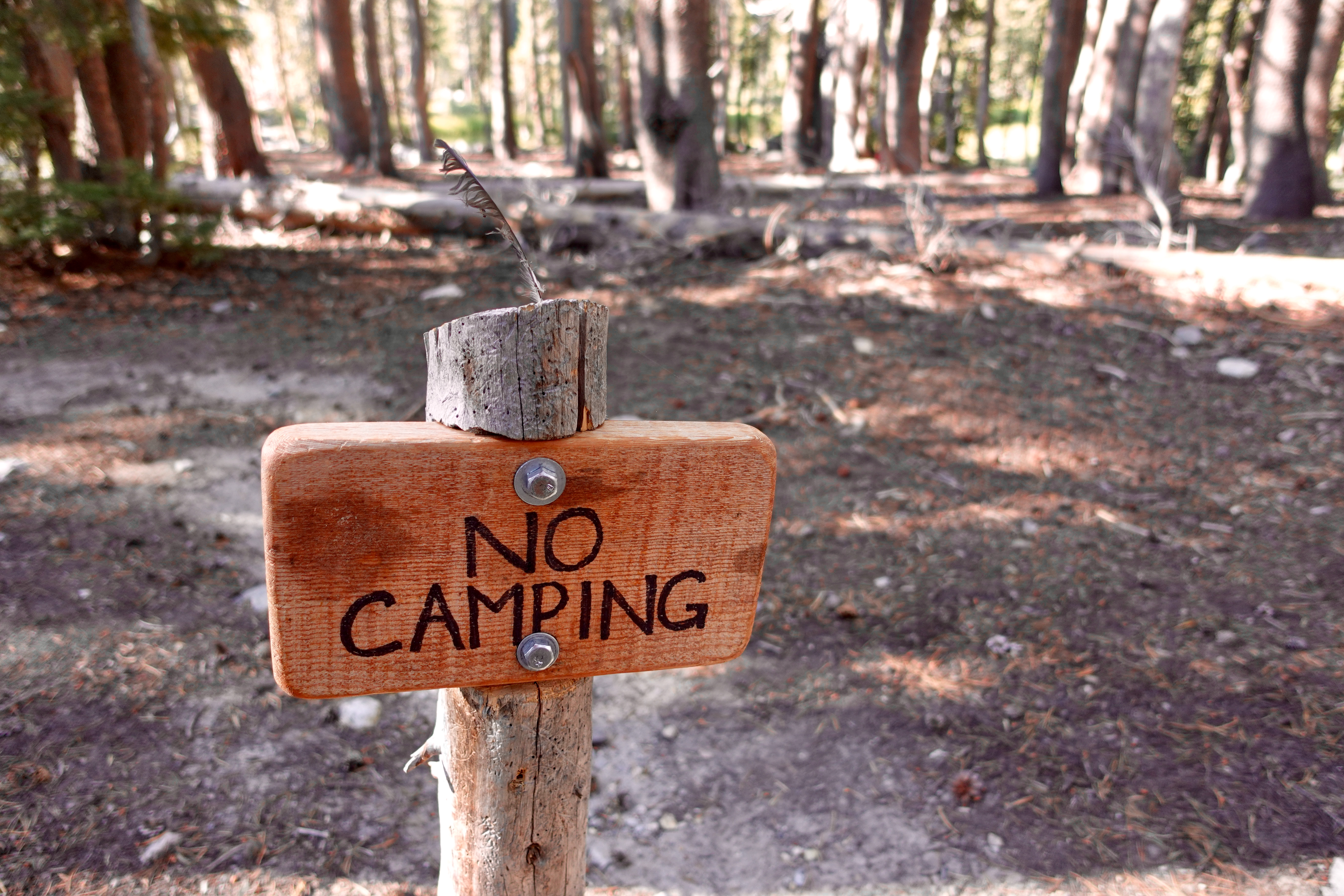
It’s EASY to find fantastic places to tent. Actually.

SIDE TRIPS

Many on the JMT stick to the trail, unwilling to miss even a single official step. Not me.

I took 4 side trips:

  • Reds – Thousand Island lake on the PCT
  • southern Red Cone from Lower Crater Meadow junction
  • Goodale Trail to Vermillion Valley Resort (VVR) because the boat wasn’t running
  • Mt Whitney
southern Red Cone

VERMILLION VALLEY RESORT (VVR)

On past hikes I’d never made the famed side trip to VVR.

On arrival, the new owners welcome you warmly and offer a free cold beer.

I’m really glad I did VVR this time, taking a ZERO miles recovery day. I met more people there than the rest of the days combined. Found myself at the same table with PhD students and veteran thru hikers.

I stayed for the Saturday night all-you-can-eat barbecue. $26.

Due to drought and low snow fall the previous winter, governments had held back water from Lake Thomas Edison. When this happens, the ferry can’t shuttle hikers to VVR. It’s a half day extra walking.

For me it was well worth the side trip.

Lake Thomas Edison – DRY in 2021

I skipped the Ranch.

SUNSET, NIGHT SKY & SUNRISE

Highlights for one and all. Yet I’m disappointed I didn’t take more photos. I should have woken up more often to see the Milky Way.

PASSES

The story of the southern JMT is climbing a high pass every day.

I enjoyed it. By Seldon I was feeling fit. My feet were great. In fact, I was in the BEST physical shape for hiking at the end of 19 days. It would have seemed EASY to hike back north.
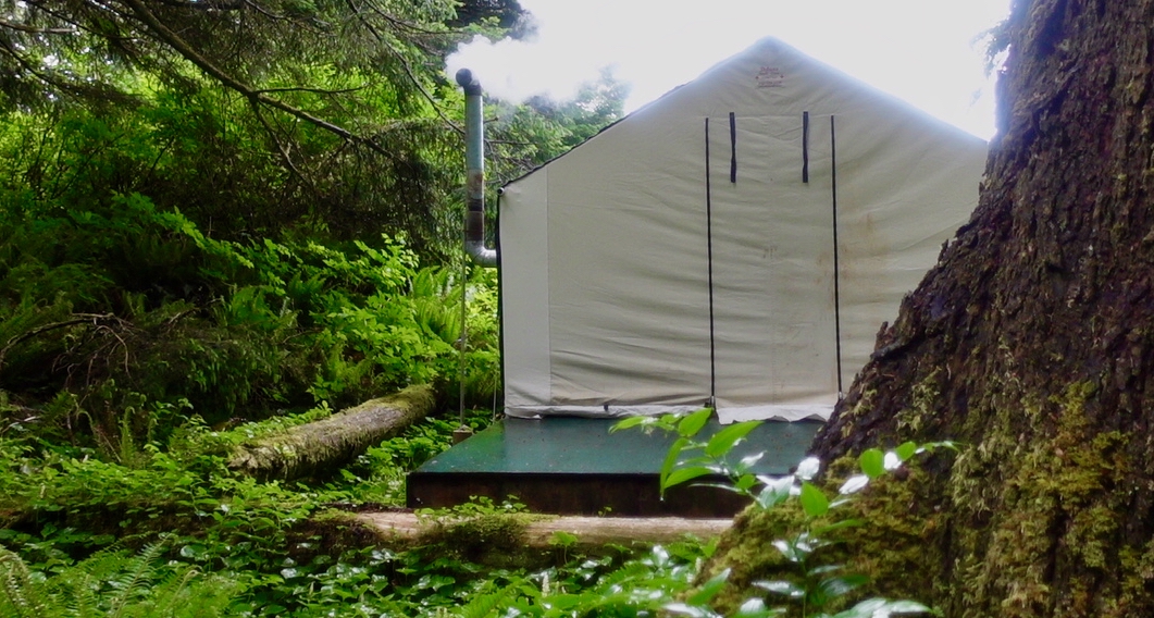
MUIR PASS

Weather was good โ€” but cold and windy when I reached famed Muir Pass hut.
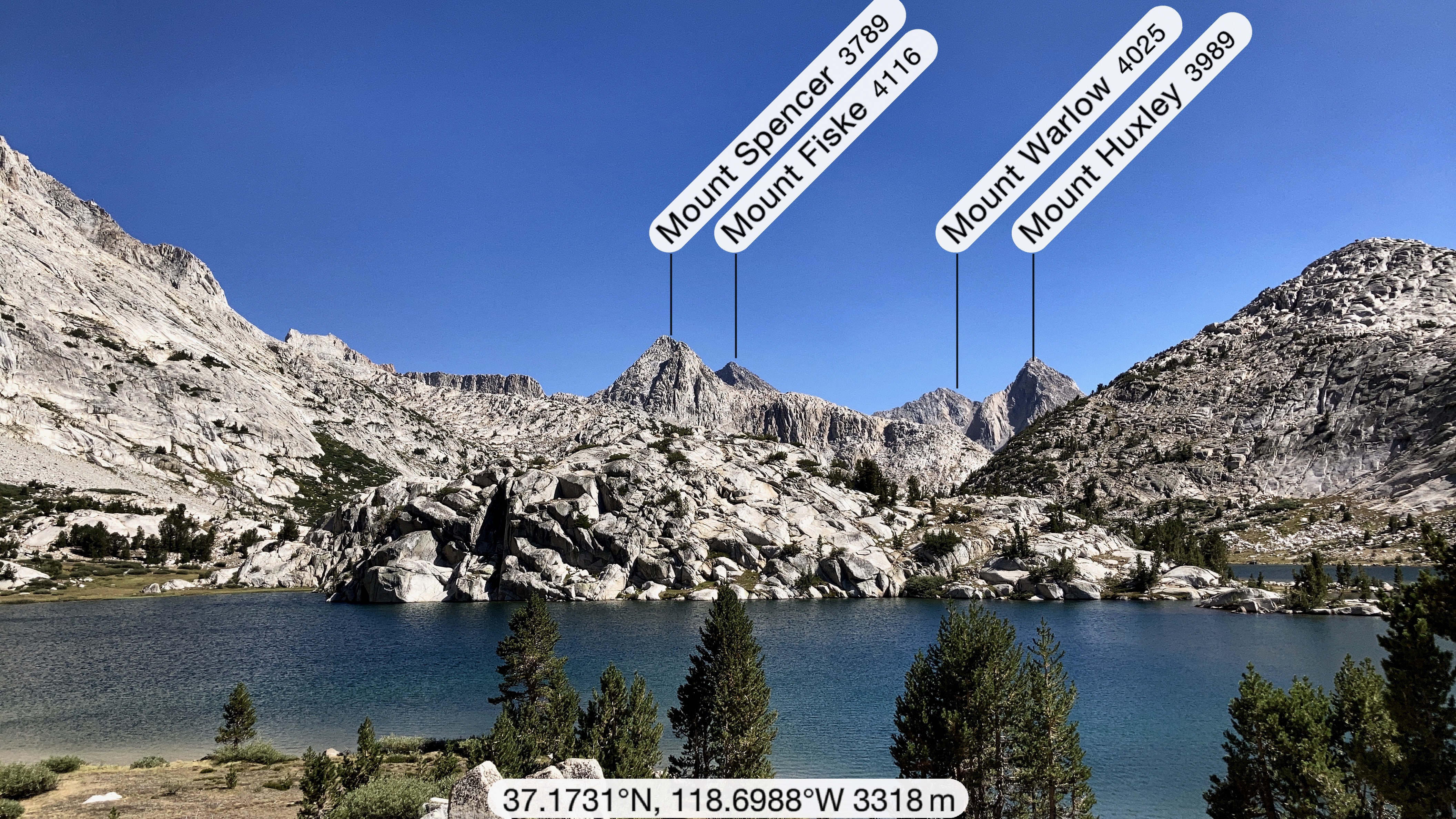
PEAKFINDER APP

Navigation is easy on the John Muir trail with most of the popular hiking apps.

I used Guthook and the free Maps.me app.

Another I really appreciated is the free PeakFinder app. You must download the regional data when online as there’s very little service on the JMT.
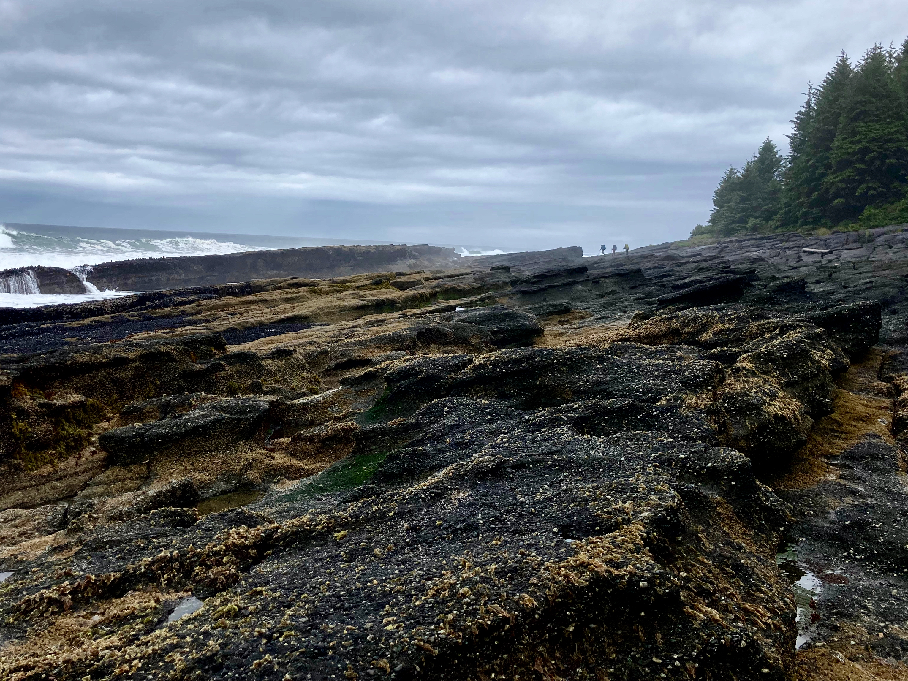
FIN DOME

Of many, many impressive peaks en route โ€” including Whitney โ€” my favourite was Fin Dome.

Fin Dome and Arrowhead lake

BOOKS & WHITNEY

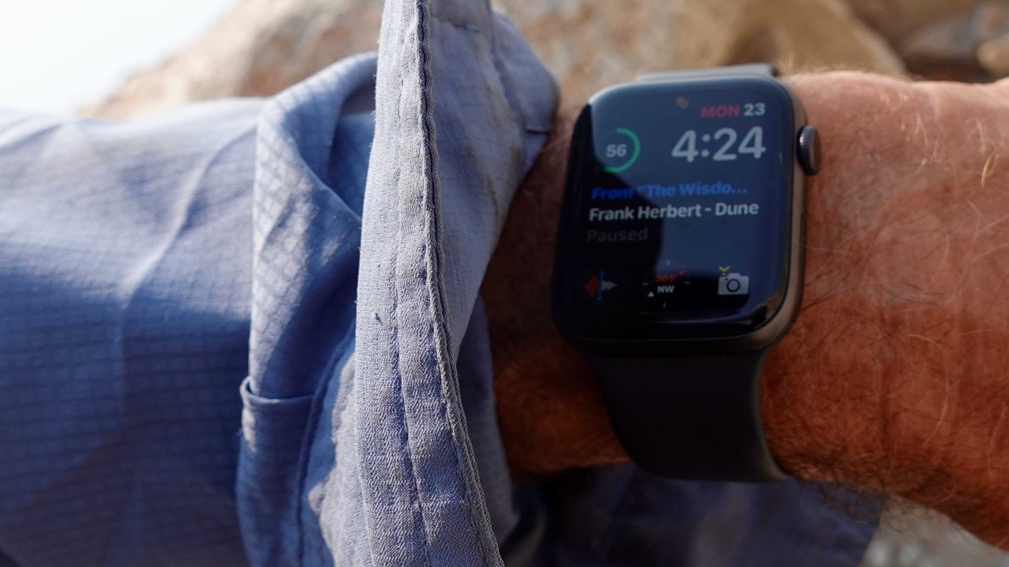
The south gets higher and bleaker. I re-read DUNE on this section as it was appropriate to the environment. Hiking alone I was able to finish quite a few audio books, in fact.

Here’s the final push to the top of Whitney.

I was briefly the highest person in the lower 48.

Since the weather was good, I decided to have dinner atop the peak. Stay for sunset. It was very hazy.

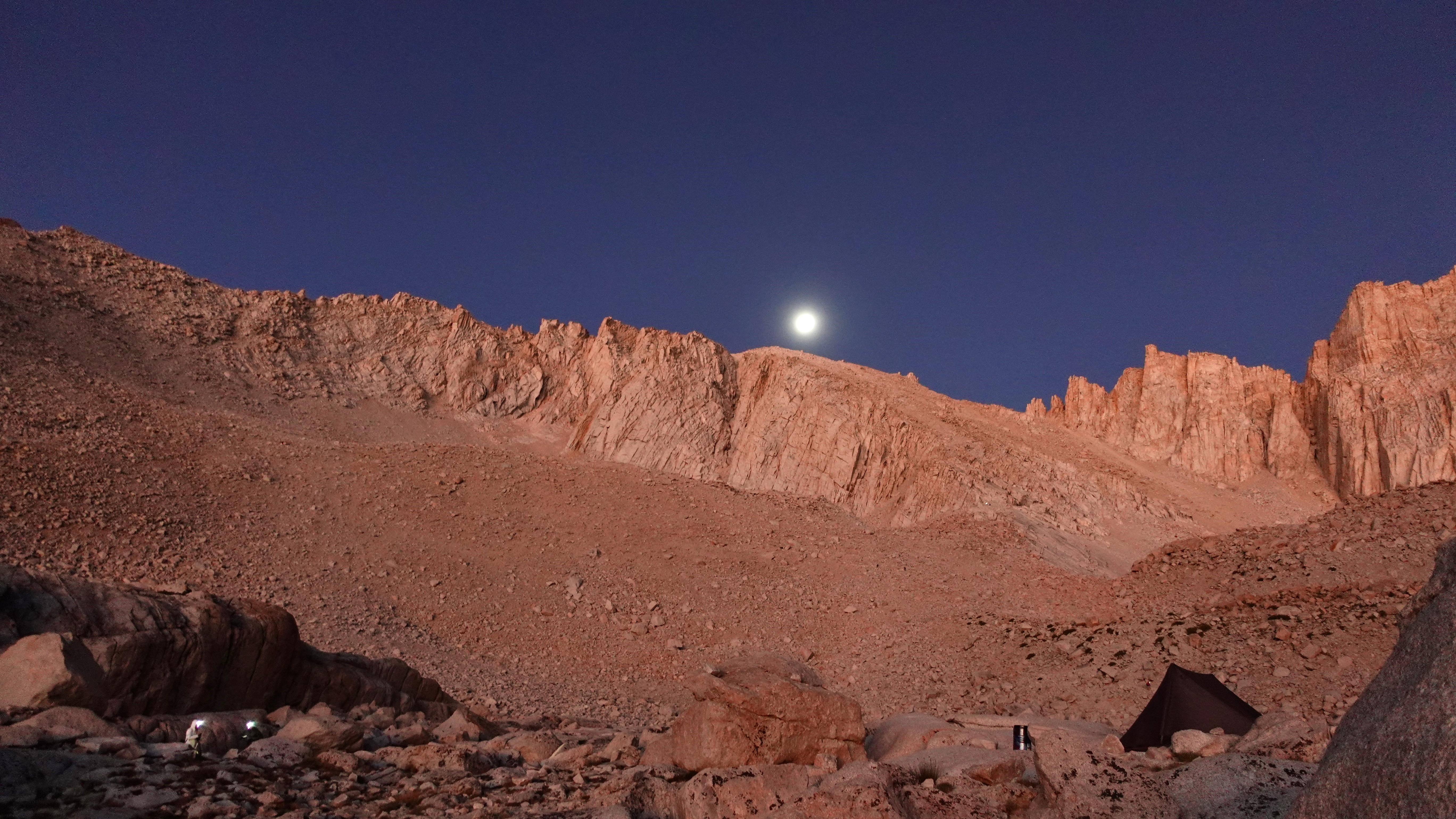
A highlight, however, was walking down to Trail Camp on the far side of the mountain by headlamp and moonlight. My only night hiking of the trip.

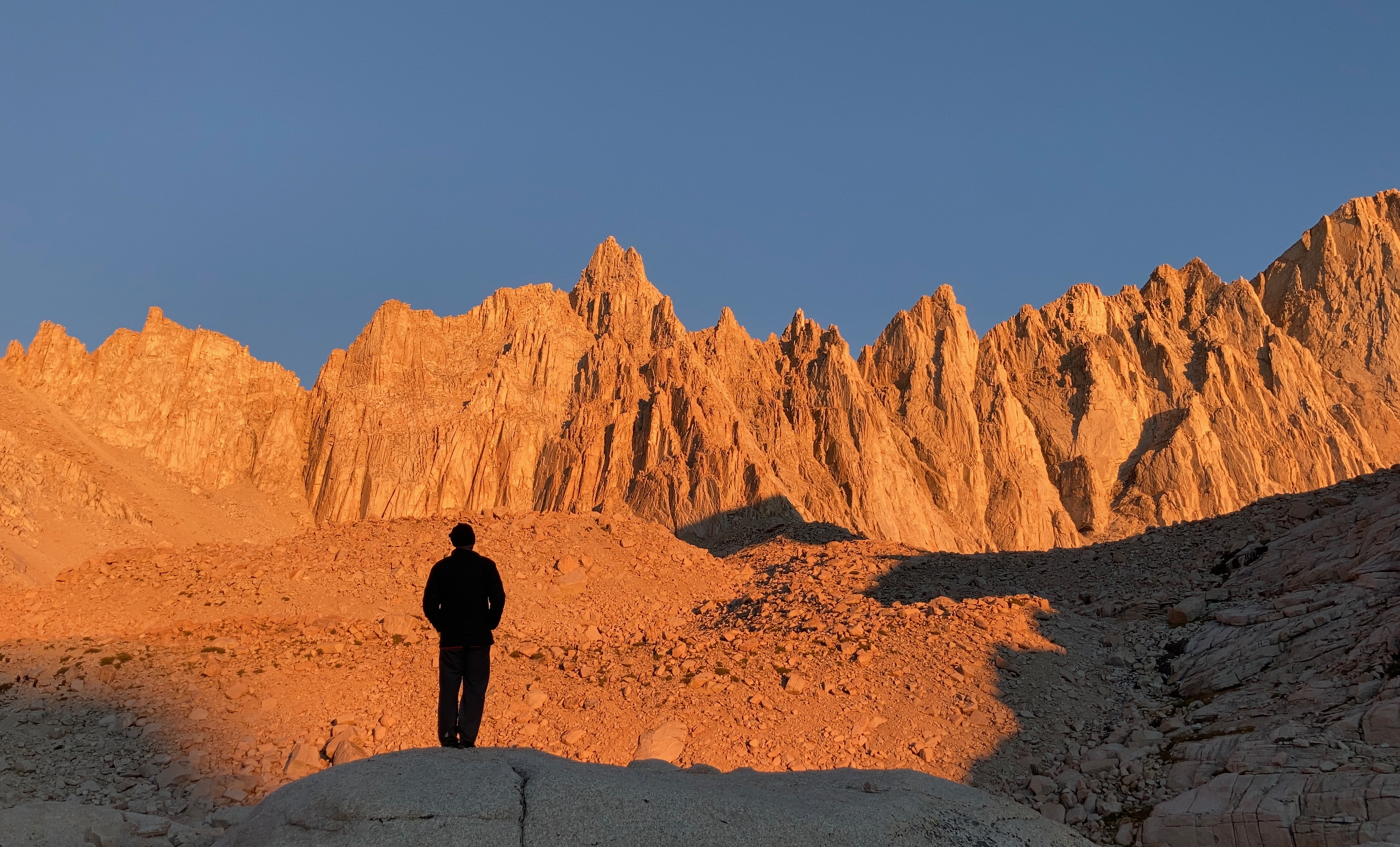
Next morning I was up for dawn to enjoy my final morning on the John Muir Trail.

Whitney massif at dawn from Trail Camp

Finally down at Portal, we celebrated with the traditional burger and fries. Relived highlights with hikers whom I’d been walking with in parallel for many days.

A wonderful trip.

Great Hikes in the Italian Dolomites

The Dolomites are one of our top 10 hiking regions in the world.

The wikiloc app compiled a list of some of their favourite adventures:

  • Lake Sorapis
  • Marmolada Peak
  • Viel dal Pan refuge from the Pordoi Pass
  • Tre Cime di Lavaredo
  • Sassolungo circuit
  • Adolf Munkel Trek
  • Trekking of the Thinking Christ
  • Fanes Cascades
  • … and more

The Dolomites

Discover one of Italyโ€™s most beautiful paradises of valleys and mountains

Sunshine to Mt Assiniboine, B.C.

One of our top 10 hikes in the world takes you from the Sunshine Ski Resort in Banff National Park, Canada along the top of the world to the most scenic peak in the Canadian Rockies.

Check our Sunshine to Assiniboine information page.

Click PLAY or get a glimpse on YouTube. (You may have to click through to watch.)

West Coast Trail semi-YOYO

BestHike editor Rick McCharles

I’ll be offline the coming week. I’m hiking the West Coast Trail.

Again.

This time I’m starting at Nitinat.

Hiking towards Port Renfrew for as far as I like.

Then backtracking to Bamfield.

I’ll try not to get injured this time. ๐Ÿ˜€

Andrew Alexander King attempts the 14 Summits

Sponsored by Black Diamond Equipment.

King, a mountaineer and adventurer, is attempting to climb the worldโ€™s tallest mountains.ย  If he succeeds, heโ€™ll be the first African American to climb the 14 summits (the seven summits plus the worldโ€™s seven tallest volcanoes).ย 

But, โ€œconquering mountainsโ€ isnโ€™t his actual goal.ย  He knows that bringing diversity to the outdoors is the real challenge.ย ย …

Click PLAY or watch it on YouTube.

Day 6 – West Coast Trail 2021

Trip report by BestHike editor Rick McCharles.

Day 0 | 1 | 2 | 3 | 4 | 5 | 6 | gear | video | WCT info

June 14, 2021
Km 65 to Port Renfrew

I awoke in the morning wondering whether my injured leg could get me out in time for the 3:30 ferry across the Gordon river.

I had ALL DAY to make 10km.

My leg felt no worse. And no better. Every step hurt but it seemed full strength.

Two choices, both challenging:

  1. Inland trail (mud scramble)
  2. Owen Point (most difficult section of the WCT)

I headed for the shelf.

First challenge โ€” many surge channels.

Happily, the tide was very low. Waves almost non-existent.

Best weather of the week.

I was able to jump or walk around all surge channels without trouble.

Plan worked. I reached Owen Point at exactly lowest tide.

A highlight of the West Coast Trail.

Next challenge: HUGE boulders and log walking.

As a former gymnast, I enjoy scrambles. No problems.

I arrived Thrasher Cove before Noon.

From here my guidebook estimated 4 hours for 6km all inland. It could’t possibly take me that long, even injured. ๐Ÿคซ Could it?

The Thrash is a steep, switchbacking scramble from the beach up to the high inland trail.

It seemed to take forever to reach the famed Donkey Engine.

I started to worry about time. There is some gorgeous easy trail walking on the final 5km, as well. Nobody understands WHY this section takes so long.

Donkey engines were used to pull huge logs, back in the day.

I didn’t reach the final ladder down to the Gordon river until 3:25pm, 5 minutes before the (supposed) deadline to cross.

Whew.

As required, I waltzed into the West Coast Trail office to check off the trail. Relieved.

I had a second permit to start the next day BACK to Bamfield. A WCT yoyo. But had to cancel due to injury.

Easiest was to simply change the reservation. Out of the blue, I decided on July 3rd out of Nitinat.

Once the excitement of finishing ebbed, my leg really started hurting on the slow plod 5km into Port Renfrew town.

Just before I got to the hiker’s hut I had booked, 3 friends from the trail stopped to ask me if I wanted a ride to Nanaimo.

Sweet.

That was exactly what I wanted to do.

I collected my resupply. Cancelled my reservation at the hiker’s hut.

Got home before 9pm.

And I’m already looking forward to another West Coast Trail week in July.

Day 0 | 1 | 2 | 3 | 4 | 5 | 6 | gear | video | WCT info

Day 5 – West Coast Trail 2021

Trip report by BestHike editor Rick McCharles.

Day 0 | 1 | 2 | 3 | 4 | 5 | 6 | gear | video | WCT info

June 13, 2021
Culite to Km 65

Wow. What a fantastic campsite.

Protected from the rain by the cliff, I had my own personal kitchen.

Here’s the impassable headland at Cullite.

Therefore everyone heads up the the ladders. Those at Cullite highest of all.

Top of the stairs is a quagmire of mud and trippy roots.

But the inland trail can be beautiful.

Wild and weird mushrooms.

One of the most interesting creatures is the Banana slug.

If you could eat them, you’d never starve. And they have been eaten by humans โ€” but are not appetizing. Remove the slime first.

DAMN. I slipped in a mud pit โ€” face first โ€” badly bruising my thigh on a hidden root.

The leg seemed to work … but was painful. I limped on with the logic of walking it off.

Expect MUD on the WCT.

I can’t go on, I’ll go on.

Our plan had been to camp on the beach Km 65 . Cross Owen Point at low tide next morning. And out to Port Renfrew.

Km 65 is only 8km from Cullite โ€” but the short day sounded good since I was now injured and moving slowly.

Unfortunately there was no place to set up a tent near Km 65. ๐Ÿ˜•

I decided to camp right on the trail. A good spot, actually.

I was able to secure my food because I’d carried it in an Ursack.

Ursack AllMitey bear bag

No campfire.

Went to bed early hoping the leg wouldn’t hematoma.

Day 0 | 1 | 2 | 3 | 4 | 5 | 6 | gear | video | WCT info

Day 4 – West Coast Trail 2021

Trip report by BestHike editor Rick McCharles.

Day 0 | 1 | 2 | 3 | | 5 | 6 | gear | video | WCT info

June 12, 2021
Cribs to Cullite

My good camera died permanently ๐Ÿ’€ the previous day. So I have fewer photos from the last 3 days.

Cribs is unique. I love the weird natural rock breakwater.

Here’s the campsite.

Pit toilets are excellent on the the WCT by the way. Some of the best I’ve seen around the world.

Again, I started on the beach in my water shoes. The weather steadily improving.

The iconic image of the West Coast Trail for me is a sea stack. Most of those are on the Port Renfrew end.

Wolves are common on beaches here now. We saw many prints.

In fact, a woman from Carmanah Light Station was interviewing hikers and recording what wildlife they’d seen.

I climbed the stairs up to the Light Station, even though visiting was still not allowed due to COVID.

It doesn’t take long to walk around. And drop back to the beach.

NOTE – I was told the very WORST inland trail of all right now is the section heading towards Bamfield from the Light Station. I was also told it would be CLOSED until improvements could be made.

Nearby is legendary Chez Monique’s, a popular snack bar on the trail for decades. Monique Knighton ran that โ€” but died  New Yearโ€™s Eve 2017 at age-78.

Rumour had been that it would not reopen for 2021.

SURPRISED I was to find a family at the old location. They hoped to reopen to some extent this season when supplies arrived.

It’s a pretty beach walk from here.

The weather kept improving.

Bonilla Point. Vancouver Point,

Cablecar over Walbran Creek.

From Walbran to Cullite I stayed up on the inland trail, bypassing Adrenaline Surge, the most infamous on the WCT.

I actually like the ladders, each time considering how the trail must have been before they were constructed.

This was my first time crossing the magnificent new suspension bridge over Logan Creek. While this climate could quickly overgrow most of the manmade structures, this bridge will survive for hundreds of years.

One more cable car. And I dropped down to camp.

Arriving late yet again, there were only two obvious campsites left at Cullite.

But mine was a good one. Mostly sheltered from the rain.

Guys from my shuttle van camped 4 of 5 nights at the same spots as me. They got a big fire roaring every night.

A big fire to try to dry their hiking boots. Not the best footwear for the WCT in my opinion.

Next day I saw a hiker had abandoned his.

Day 0 | 1 | 2 | 3 | | 5 | 6 | gear | video | WCT info

Day 3 – West Coast Trail 2021

Trip report by BestHike editor Rick McCharles.

Day 0 | 1 | 2 | 3 | 4 | 5 | 6 | gear | video | WCT info

June 11, 2021
Tsusiat to Cribs

Finally. Serious rain.

But I was dry in a little tent secured under a Tsusiat cliff overhang. Didn’t need my fly.

Put on the water shoes โ€” trail runners with neoprene booties โ€” in the morning as I’d be starting on the beach. Tide was low enough.

My rain gear perfect.

I enjoyed walking through Tsusiat Point a second time, 12 hours after exploring it the previous evening.

The shelf in the rain is classic West Coast Trail. But you are forced inland at the impassable headlands of Tsuquadra Point.

I stayed with the water shoes due to muddy pools on the inland trails.

IF you have the agility of a gymnast, you can often save time by walking natural log bridges.

In the rain, it’s tempting to stop and see if there is availability at the Ditidaht First Nation Comfort Camp.

The inland trails were overgrown after having seen no hikers for almost 2 years. The WCT was closed due to COVID in 2020.

It’s always a thrill to reach Nitinat Narrows, cold, deep and fast moving tidal waters.

For days I’d been looking forward to fresh caught salmon lunch.

There are cabins to rent here though I’ve never stayed.

As you can see, my camera fogged up badly.

Departing the crab shack, there’s a lot of new (slippery) boardwalk. Careful.

And the way got even more overgrown. At one point, I thought I’d missed the main trail. Tempted to head back to the crab shack to borrow a machete. ๐Ÿ˜€

There’s a good suspension bridge over the Cheewhat river.

This day I really enjoyed switching back and forth between trail and coastline.

At one point โ€” for fun โ€” we tried and failed to cross an impassable headland. Waves were too high to wade. I turned back to the last beach access, but some younger hikers managed to scramble up the cliff to rejoin the inland trail.

Didn’t arrive Cribs until 8:30pm. Very tired.

Set up my tent in the trees in the first available spot. Next to the pit toilets.

Day 0 | 1 | 2 | 3 | 4 | 5 | 6 | gear | video | WCT info