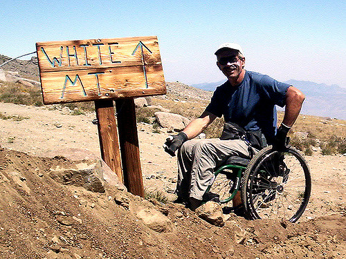
Having been on Bob’s support team for his 2007 ascent of 14,252-foot (4344m) White Mountain Peak, California, I can highly recommend his inspiring documentary.
Bob’s smiling here. But let me confirm that trip was bloody tough. I could never possibly have made it in his chair.
The new film covers his attempt to cross 11,845-foot Kearsarge Pass in the Sierra Nevada. It’s much rougher than White.
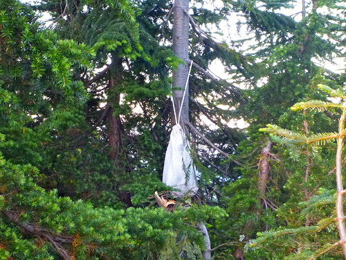
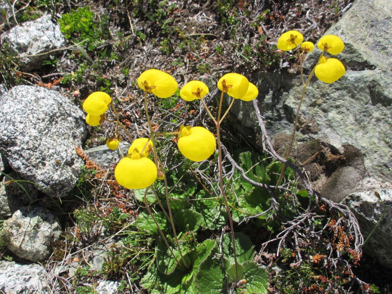
Personally, I own a BearVault BV500 and Ursack Major. I use the BV500 when it’s required, and the Ursack Major in areas with bears and/or mini-bears but without canister regulations.
But in areas with bears — and inappropriate trees — tying directly to a tree at eye level works too. I’ve never had a bear approach my food … though I did once have a mouse get inside the Ursack.
After surviving day 3 I assumed day 4 would be a breeze. A stroll down to the lake.
No. ☹️
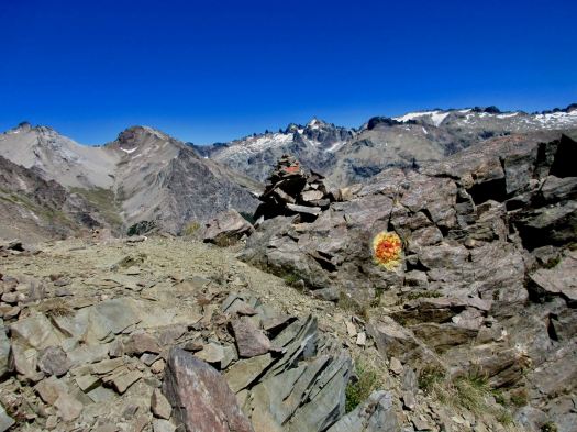
It’s very difficult and perhaps the most dangerous section of all.
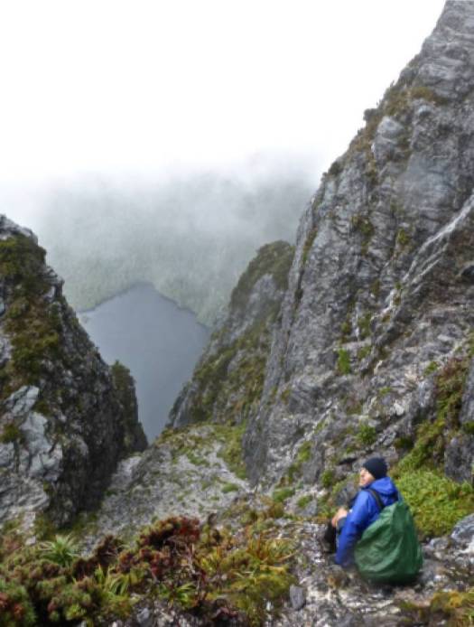
It’s another early morning scramble to navigate along the far side of Laguna Negra. Some fixed ropes help on the downclimb.
Alone I was following the Lonely Planet route on my phone, increasingly distancing myself from all the day hikers heading a different direction up to a famed ridge lookout.
Very unsure, I changed heading and followed them up to a fantastic vista.
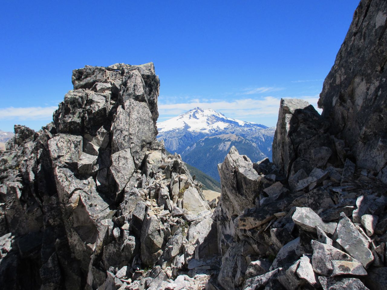
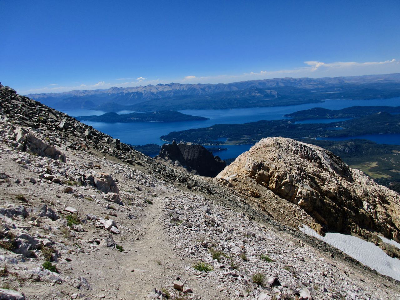
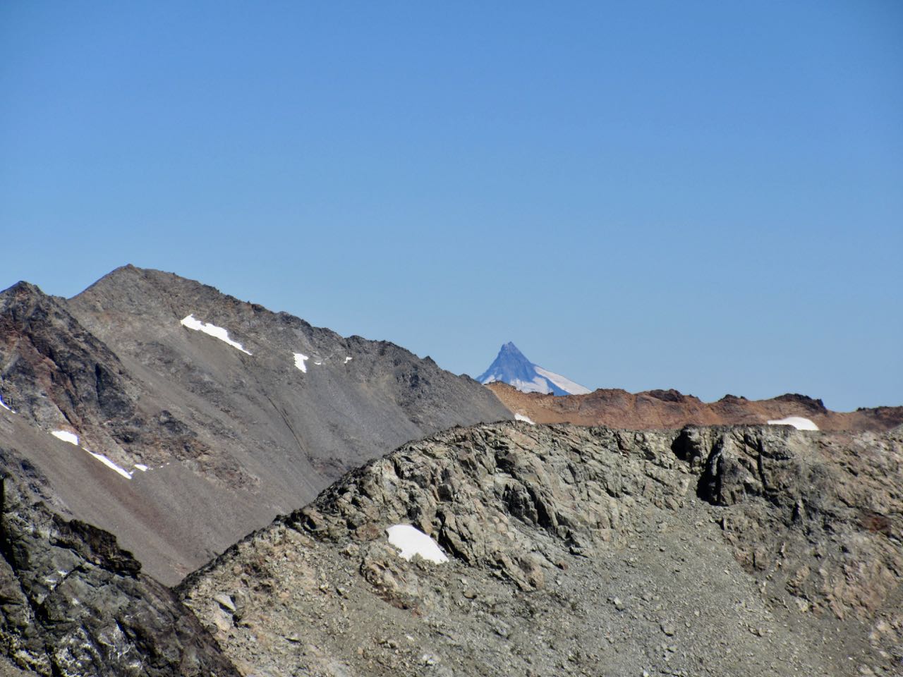
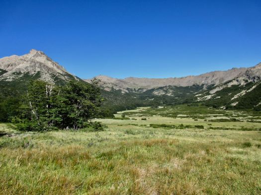
Tronador
Turns out there are at least 2 routes out of Laguna Negra. Almost nobody does the LP variation any more.
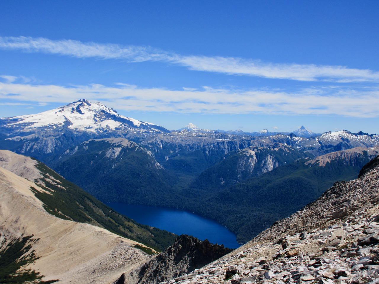
From the ridge it turned out I’d be the only one that day trying for Lopez hut and Bariloche. Everyone else decided to take the easy way down including the big guided hiking group.
I was feeling fit and healthy. The weather perfect. Again.
I had to go for it.
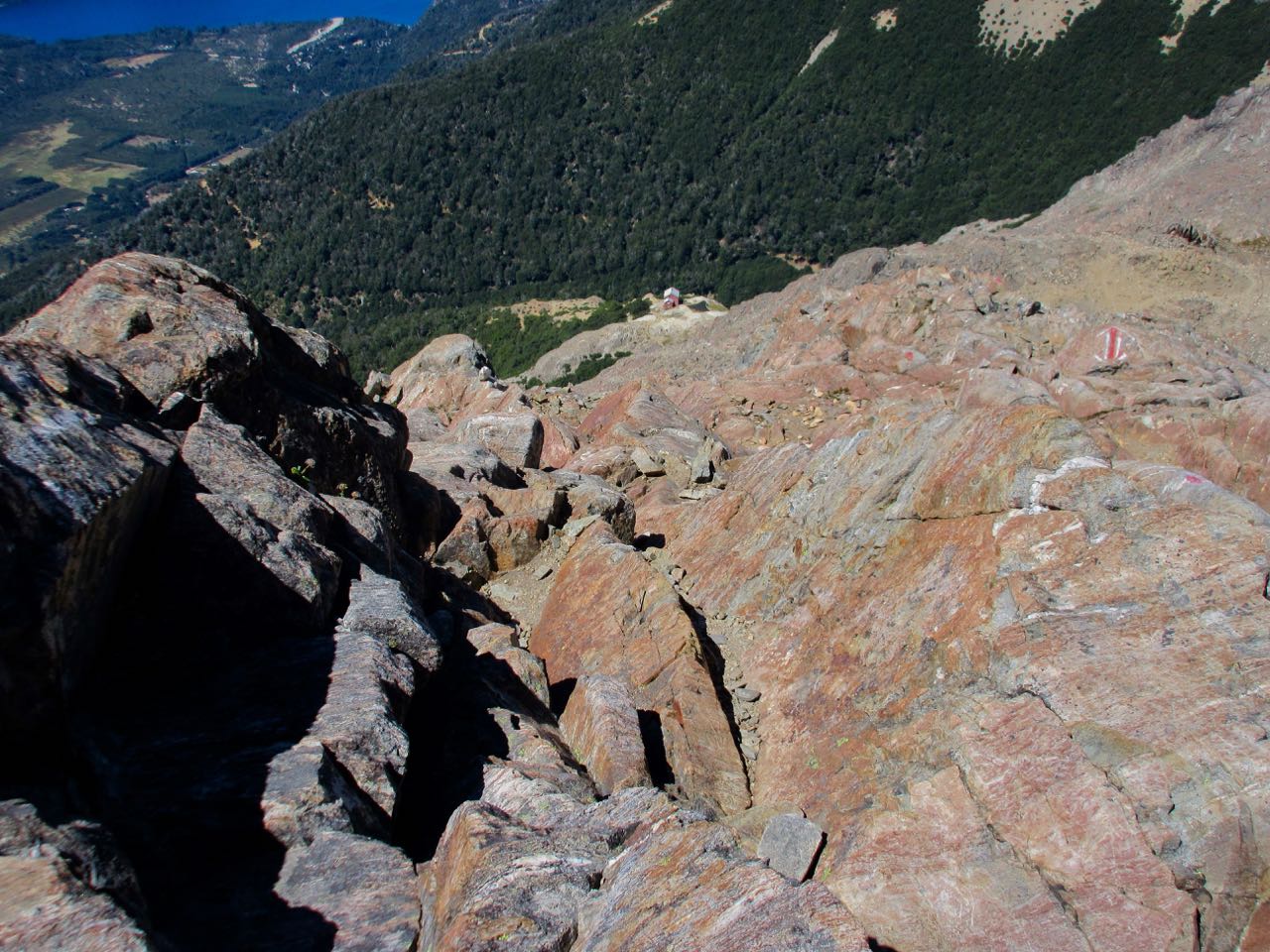
Next — what else — a scramble along another ridge.
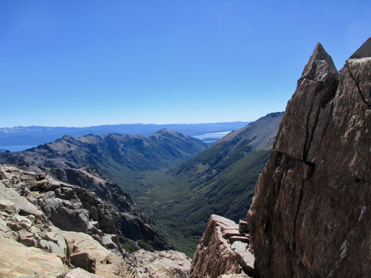
The views were beautiful today. Prettiest yet.
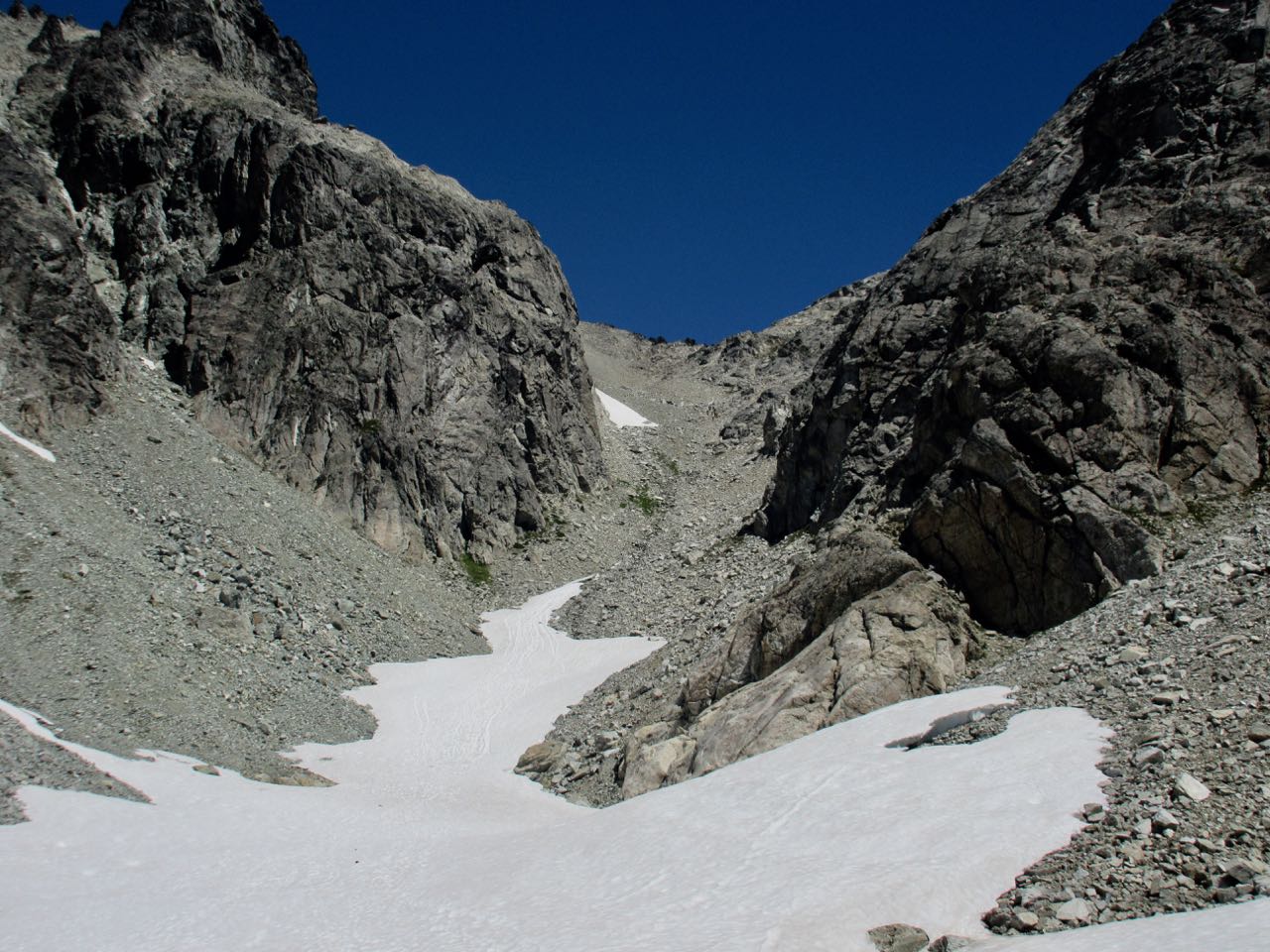
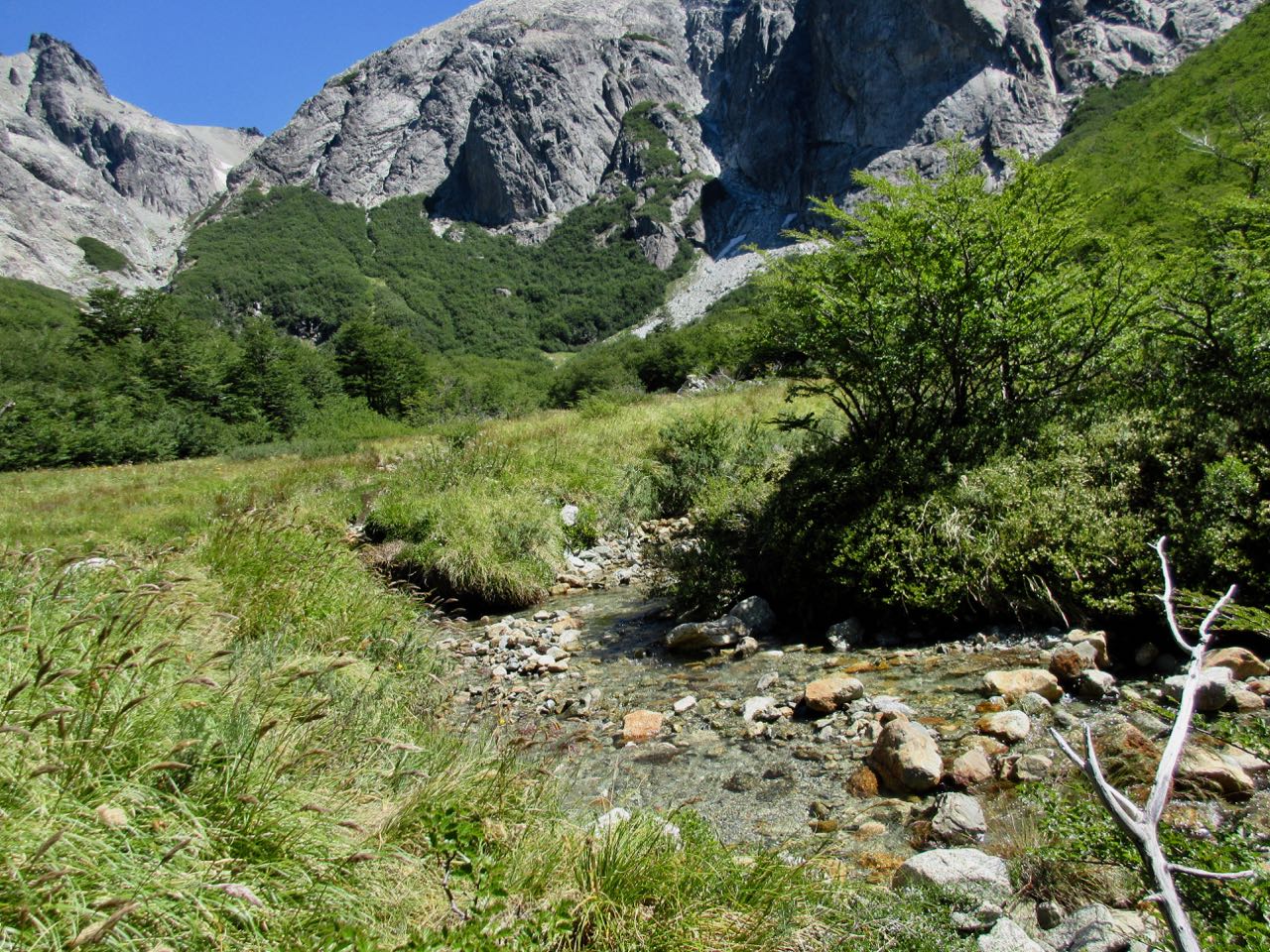
I came to the long, painful scree descent to another green, boggy valley. I crawled under a scrub tree at the bottom just to get some shade.
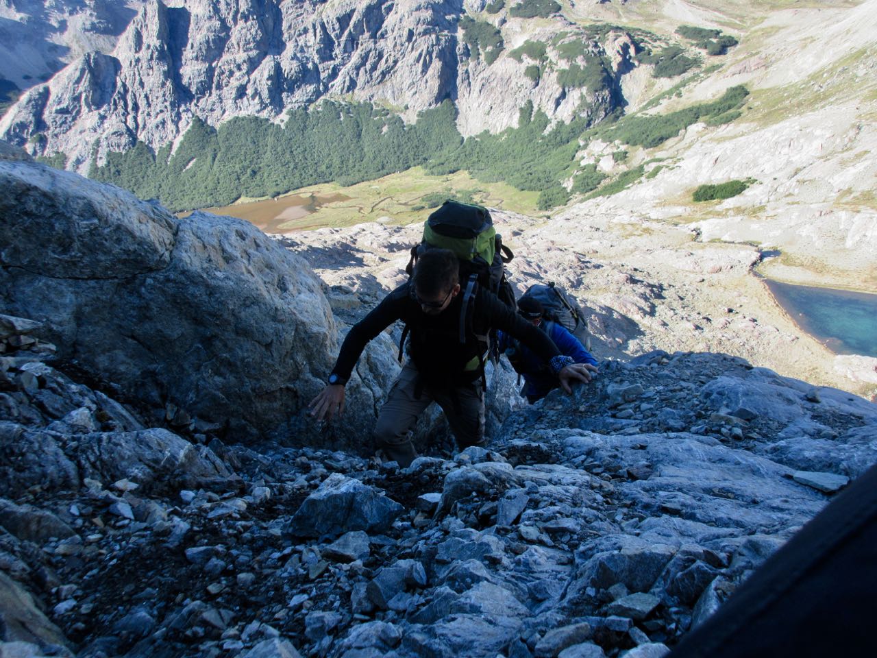
The similarly long ascent is on large, loose, sharp frost shattered rock. Going up is dangerous. I met 2 Argentinians descending there. SUPER dangerous. The worst of many bad slopes.
It took me about 2 hours of steady climbing to finally gain the ridge. It wasn’t until this point that I was convinced I would make the Traverse. The lake looked very close.
This was my final pass. It’s all downhill from here.
How to descend? Both left and right looked possible, but neither was appealing.
Turns out the trail takes you directly over the top of the rocks blocking the route.
There’s Lopez hut way below. Hours below.
It’s all scrambling to get there.
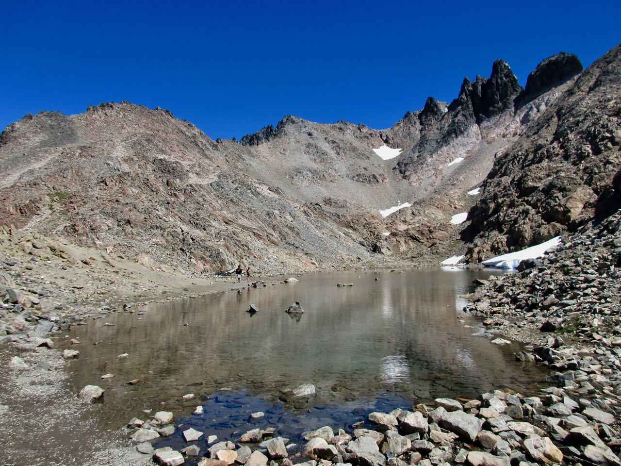
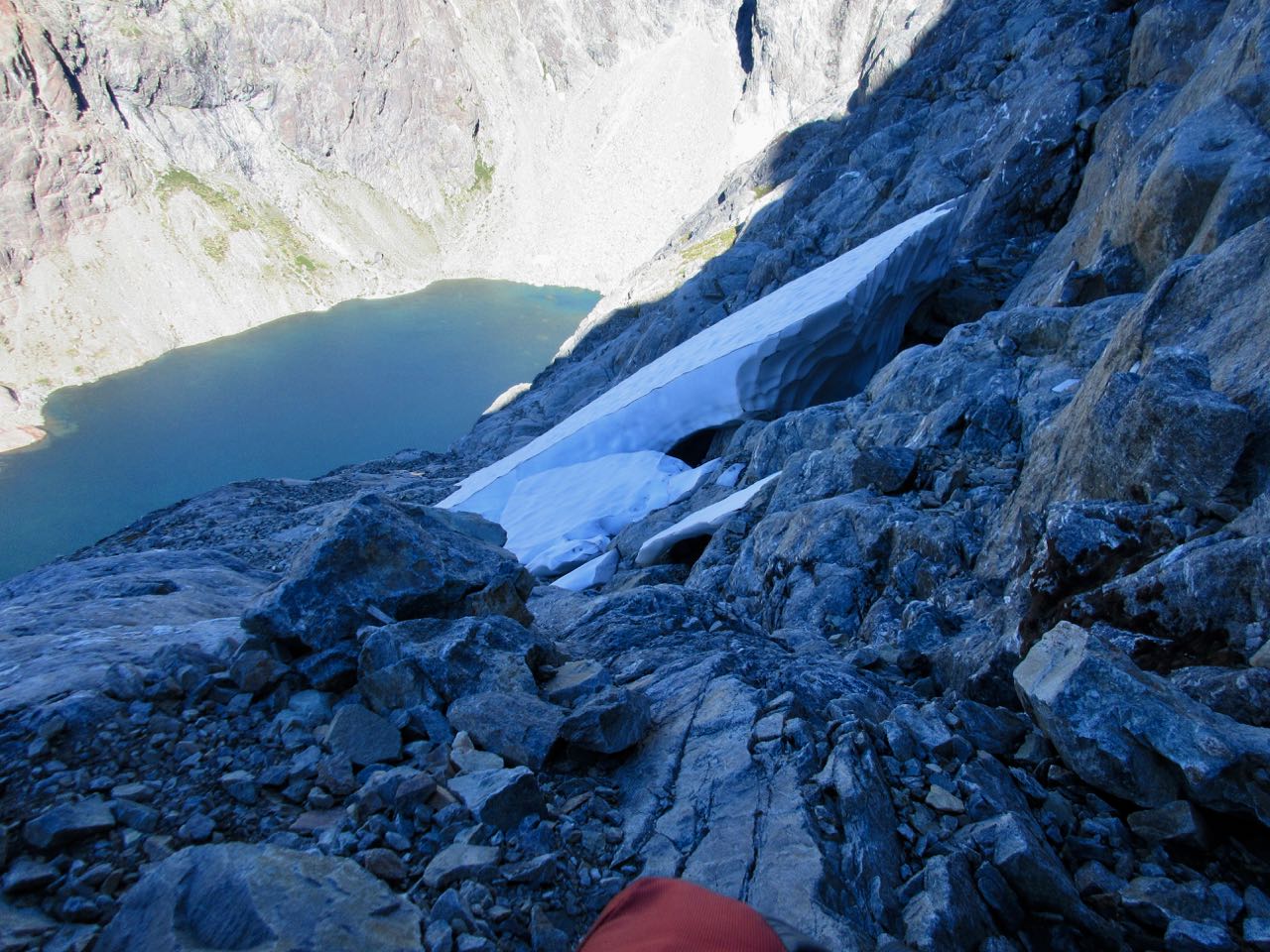
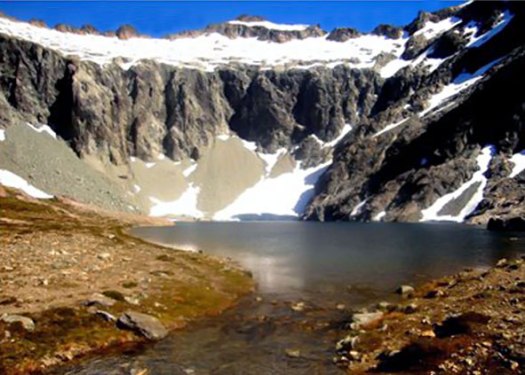
This seasonal snow melt tarn is one of the water sources for the hut.
I was getting close to civilization, however.
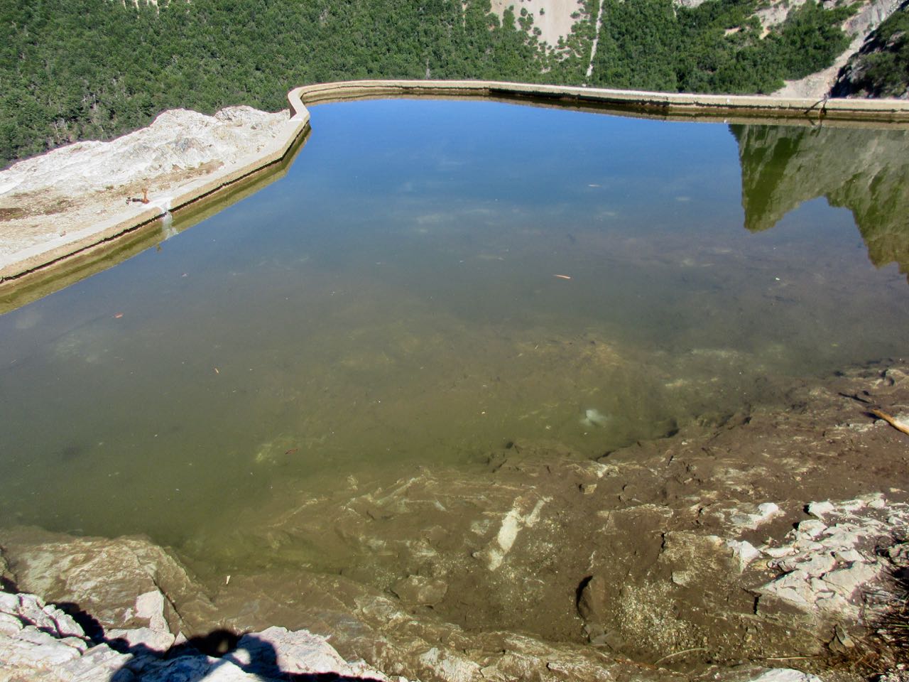
Here’s a water catchment pond at the hut. Not looking potable.
I got bad vibes in every way from Lopez hut. It’s privately run. Avoid it if you can.
I had lunch. Then headed down a likely looking trail with an escort.
Turned out I’d chosen a disused path on the wrong side of the creek.
Once we crossed to the true right, I quickly found the main trail down.
It was about a 2 hour wait for the next bus to town.
Jumping off close to my hostel I ran into British friends who had just returned from a different hike. We enjoyed a big carne and red wine feast at a Parilla restaurant on the lake.
… should not be attempted unless the weather is very good …
… crampons and an ice axe may be needed …
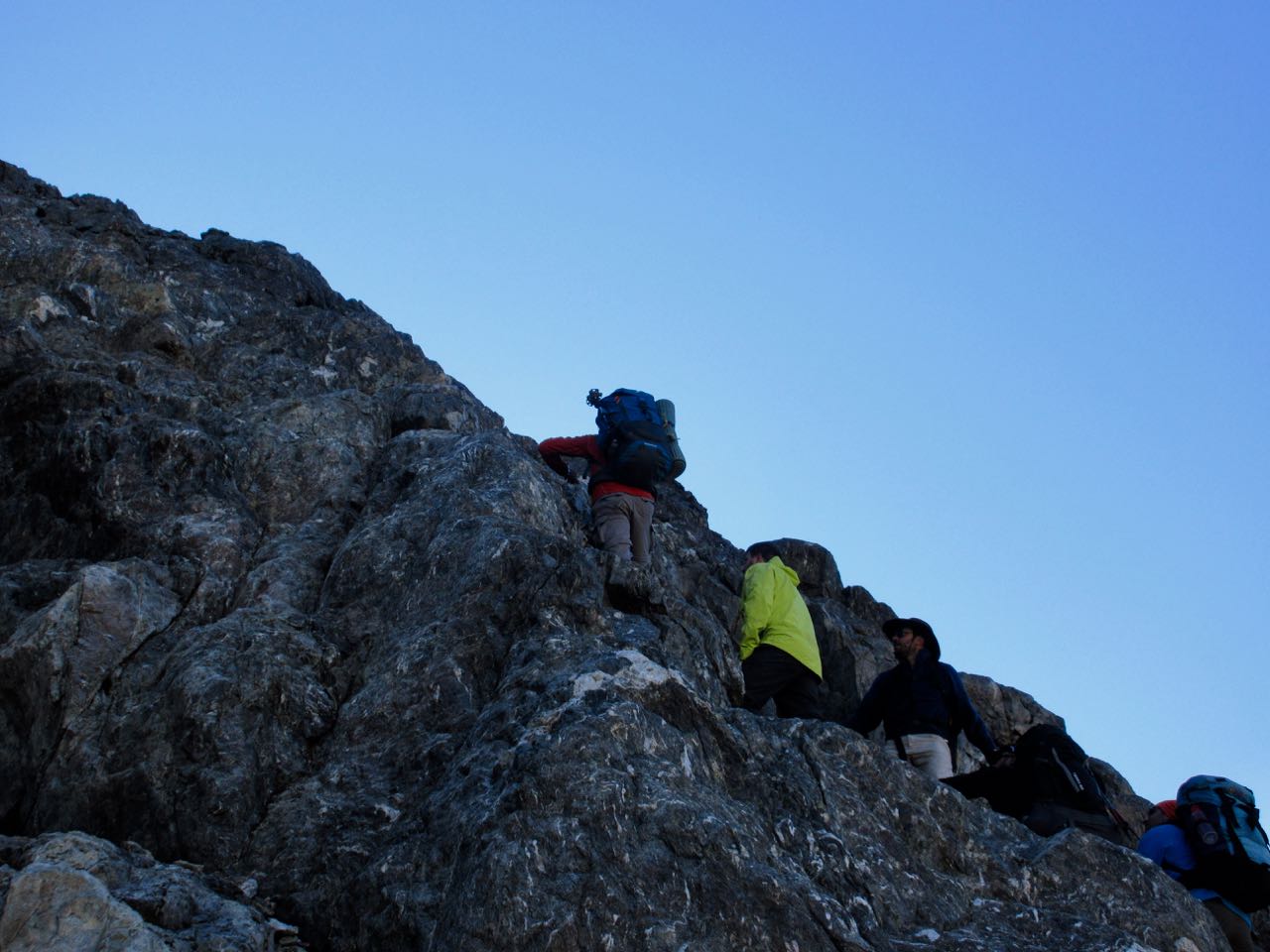
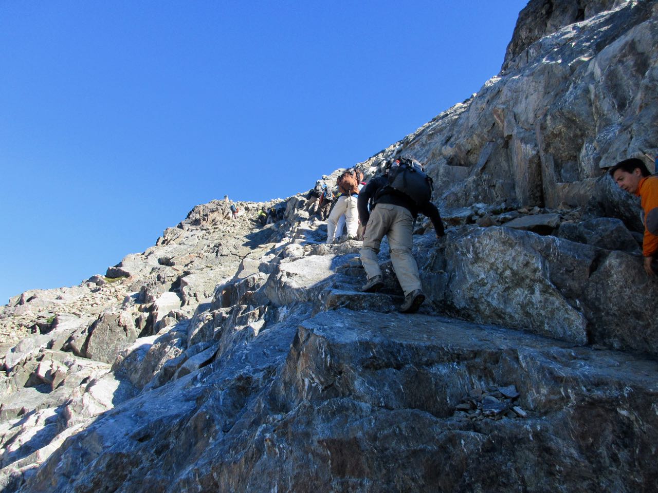
About an hour in I found myself crouched on the vertical wall here.
Lots of exposure. No clear markings for the easiest route up.
Should I quit and go back?
Happily a group of about 15 hikers arrived at just the right time. Their two guides knew the line.
Whew.
Aside from the risk of falling, it wasn’t that bad. We made it easily. Weather was perfect.
The guides suggested I follow them along the ridge.
I did. Until we got to the summit of a peak called Navidad 2060m. (Christmas)
After getting some directions on the descent, I went ahead. They were taking a long lunch.
Next came the impossibly long, slippery, scary, knee straining descent.
The only easy part was glissading on a couple of snow fields.
What a relief to finally reach the valley.
Life.
Unfortunately the valley section was endless too.
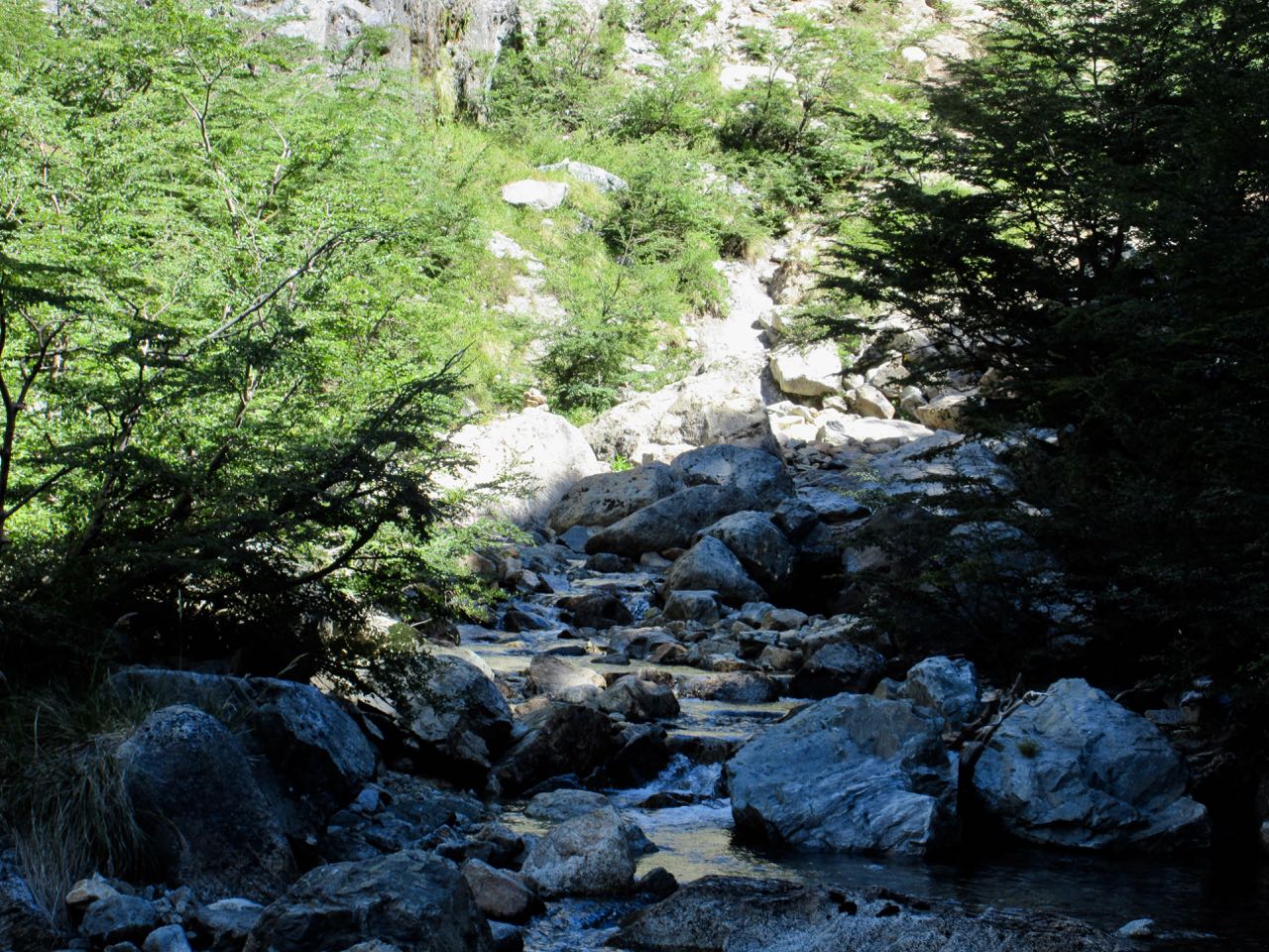
Some sections required bushwhacking and route finding.
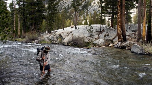
At other times I had to boulder hop back and forth across the creek.
I finally saw some young people splashing in a river pool. They were departing Segre (Italia) and heading out down the valley.
They pointed me to one of the two steep paths upwards.
I was thrilled to finally reach the 300m spiralling switch back climb up to the Italia (Segre) hut. It seemed easy compared with the descent.
By the time they get there, most hikers have already decided NOT to take the high route on day 4 instead opting for the easier valley descent to the town of Colonia Suiza next morning.
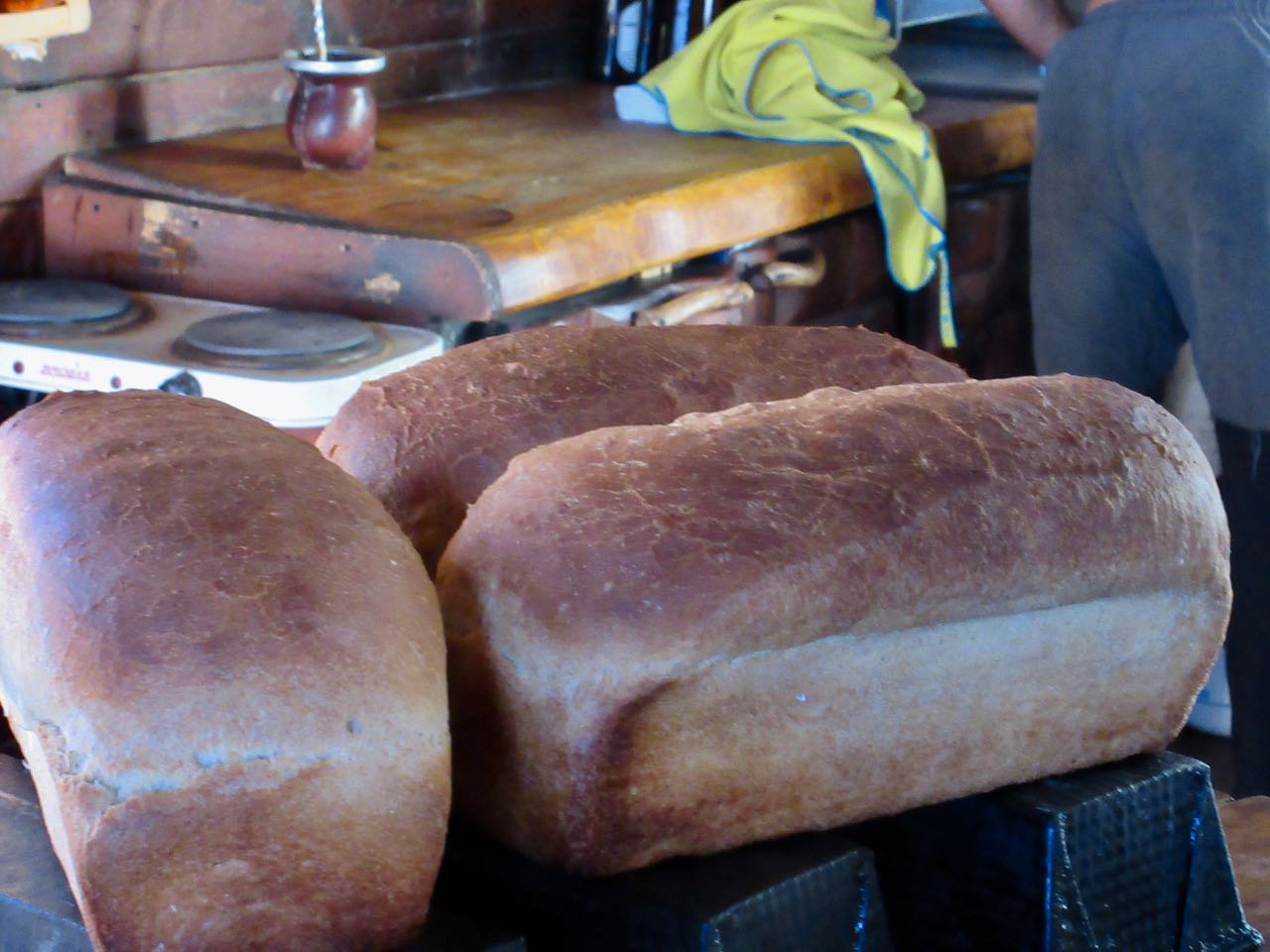
The hut warden was a super guy. Very happy I had made the day safely.
Refugio Segre smelled great.
I went immediately for siesta.
Three hours later, at dusk, the group finally arrived. No injuries. But some of their people were very tired.
Seems I forgot to take many photos on day 2. My first priority was video.
Oops.
As I’d camped at Cascada rather than Frey I counted myself ahead of schedule. No rush today.
I enjoyed the morning. Wandered the boggy grasslands.
In the afternoon I was surprised by the difficult, steep climb to reach Brecha Negra pass.
The descent was even worse. Dangerous.
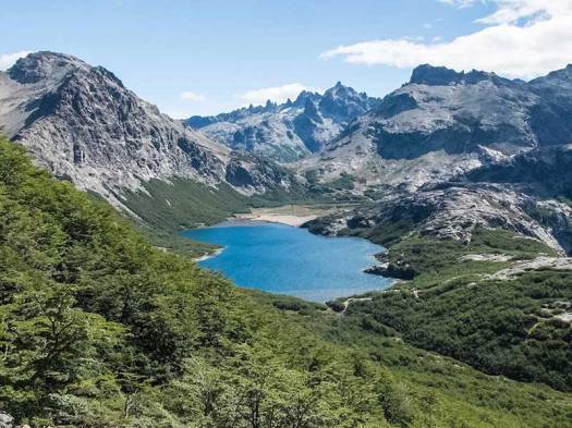
But arriving at the alpine lake was wonderful. It’s a lovely spot.
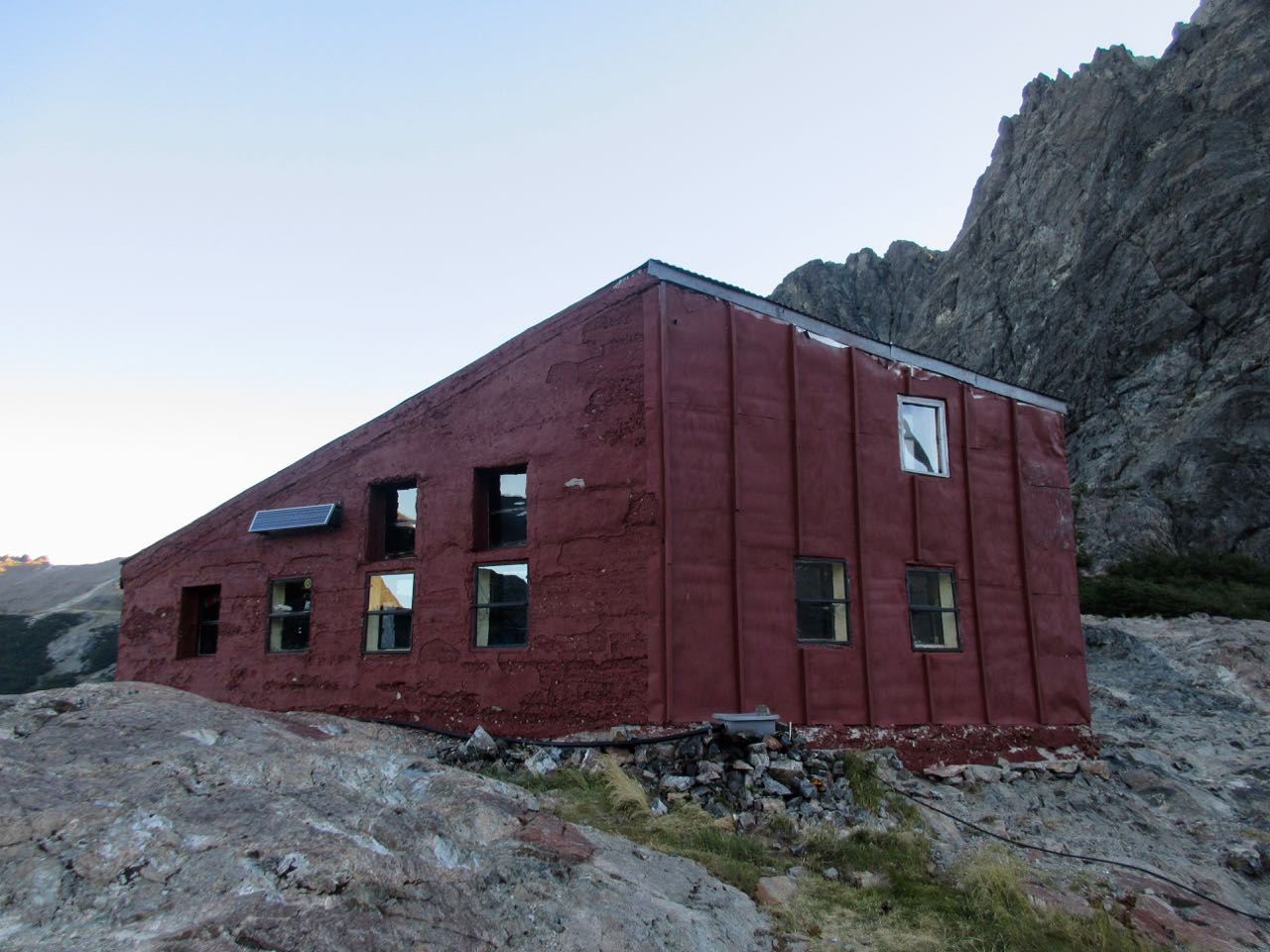
Here is the old Refugio San Martin (Jakob). It burned down in 2017.
The replacement was well underway when I was there February 2018.
Hikers without tents slept and ate in temporary structures.
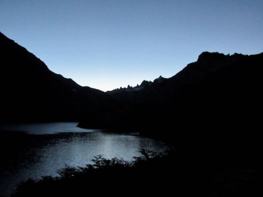
The highlight of the day was scrambling up to Laguna Los Tempanos, a glacial meltwater lake. It reminded me of places in the Rockies.
Surprisingly, I had the place to myself at dusk.
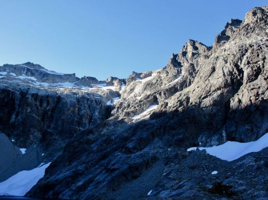
Tomorrow’s route climbs up this impossibly steep face. I had no idea how it could possibly be done.
This evening I hung out at camp enjoying the stars with 4 other Canadians. Two wanted to continue with me on the difficult day 3 ahead. Two wanted to exit down the valley, worried because they’d already found the easier days very difficult.
In the end, they decided to end their hike next day. Safety first.