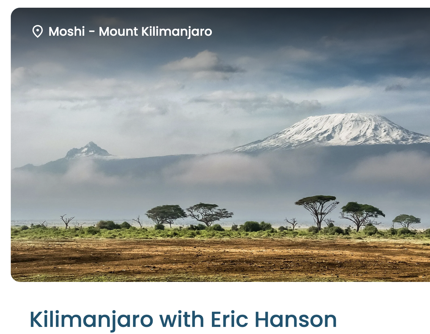
Trip report by BestHike editor Rick McCharles.
I flew to Ecuador for 3 weeks hiking & climbing in preparation for Kilimanjaro.
A good decision.
Logistics getting to and from trailheads is complicated in this nation.
BEST for me was adventuring out of Secret Garden Cotopaxi Hostel ➙ perhaps my favourite hostel in the world. At around 3,800 metres (12,500 feet), you’ll feel some altitude symptoms for sure if coming from sea level. I’d been in Ecuador for about 9 days and still had minor headaches.
Most popular is a 3-day, 2-night package starting at $120 with transportation from Quito, the capital.
That includes two free guided hikes:
In some ways, the short Waterfall hike is challenging.
You must wear provided rubber boots that don’t have much traction. It’s not uncommon for new visitors at altitude to fall into the muddy creek.
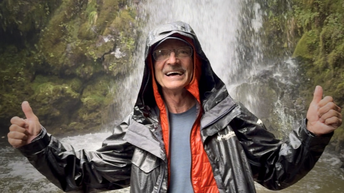
Each day some fool(s) decide to swim the waterfall. But not this fool. Not this day.
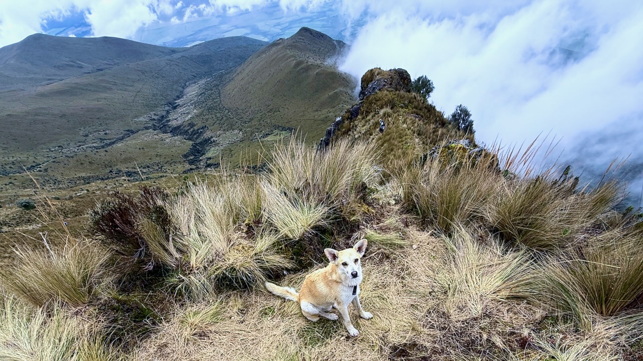
The Pasochoa summit hike to 4200m (13,776 ft) is legit high altitude training. Even though you start directly from the hotel.
Best pay attention to the warnings of your very experienced guide.
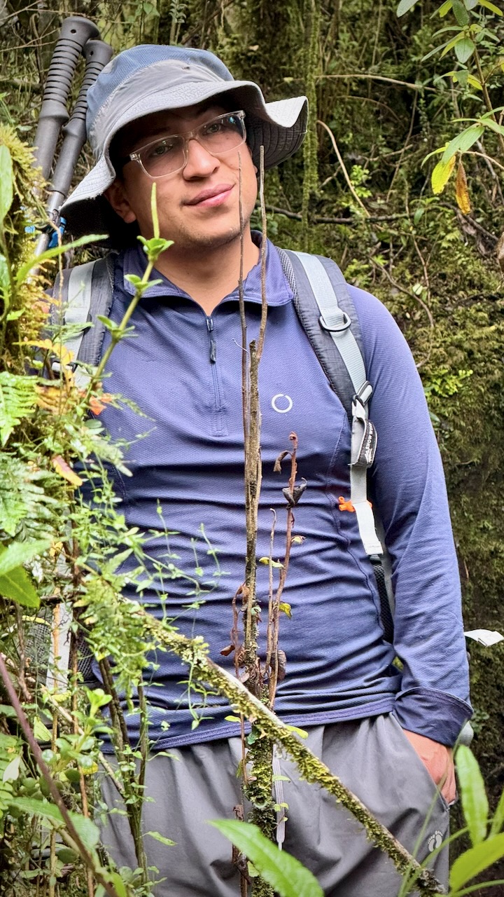
The start can be muddy and slippery. Some wear rubber boots for the first 45 minutes, or so.
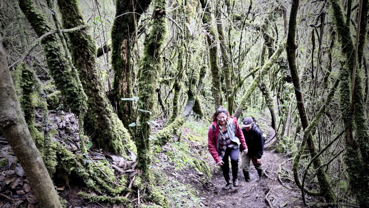
From there, you switch to hiking shoes and climb up through paramo grasslands and primary cloud forest.
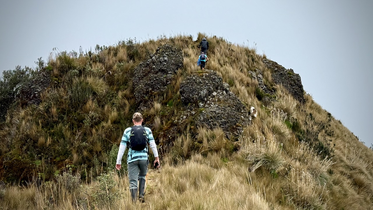
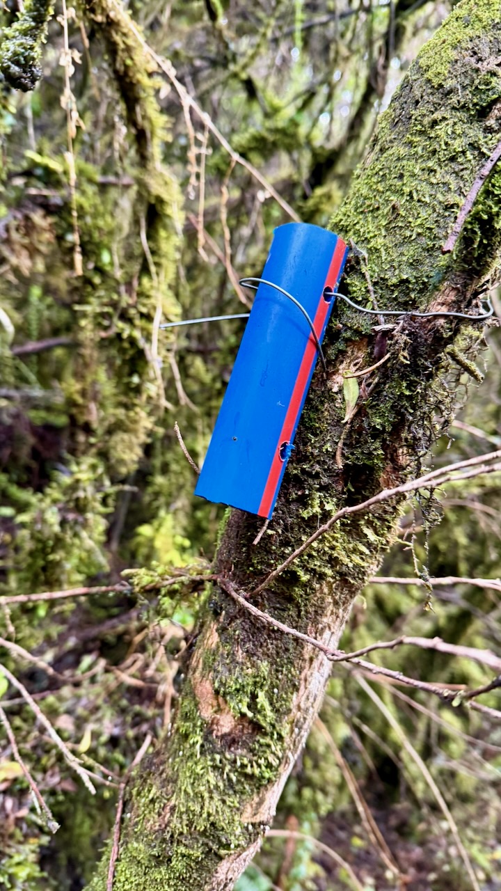
Very popular, the route is blazed.
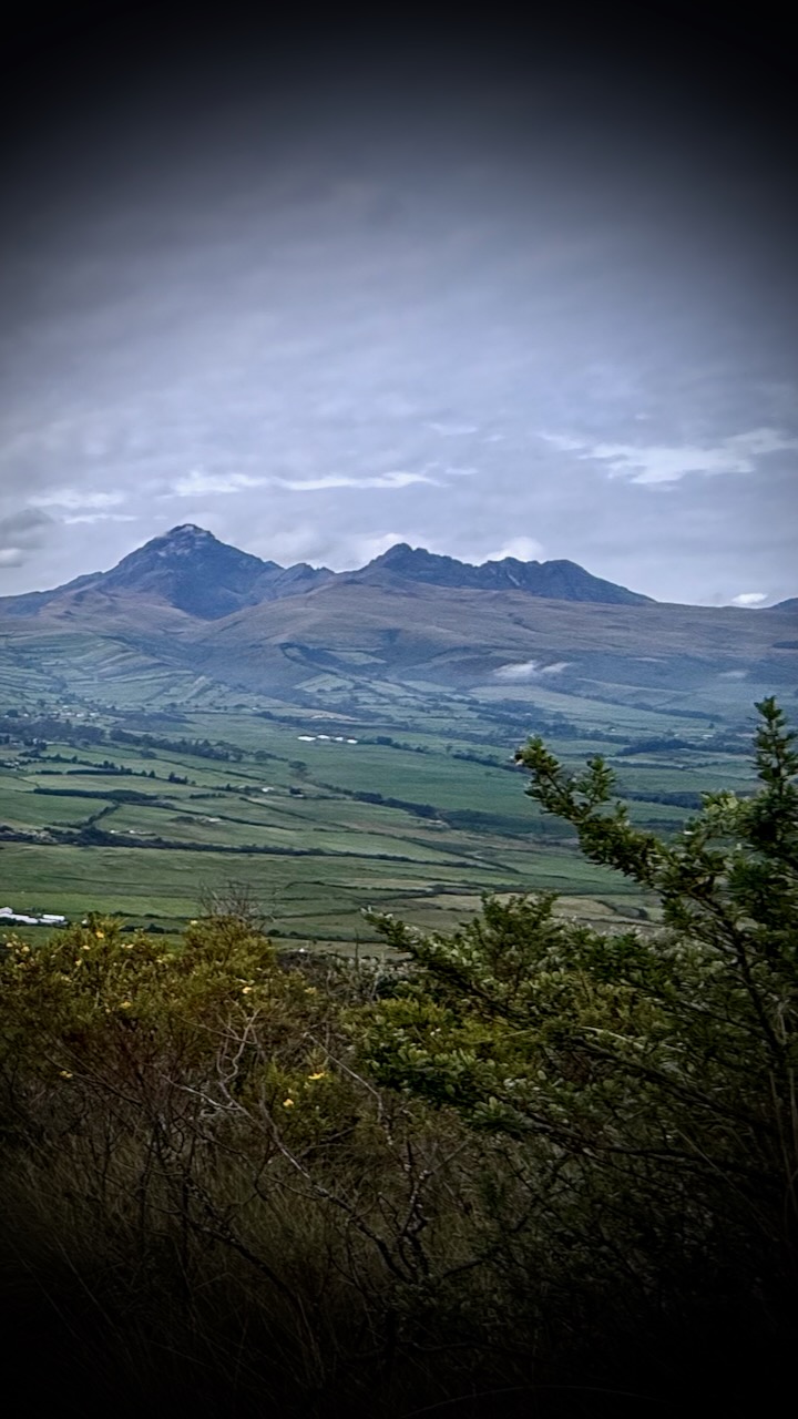
Of course there are terrific views back to the higher volcanoes.
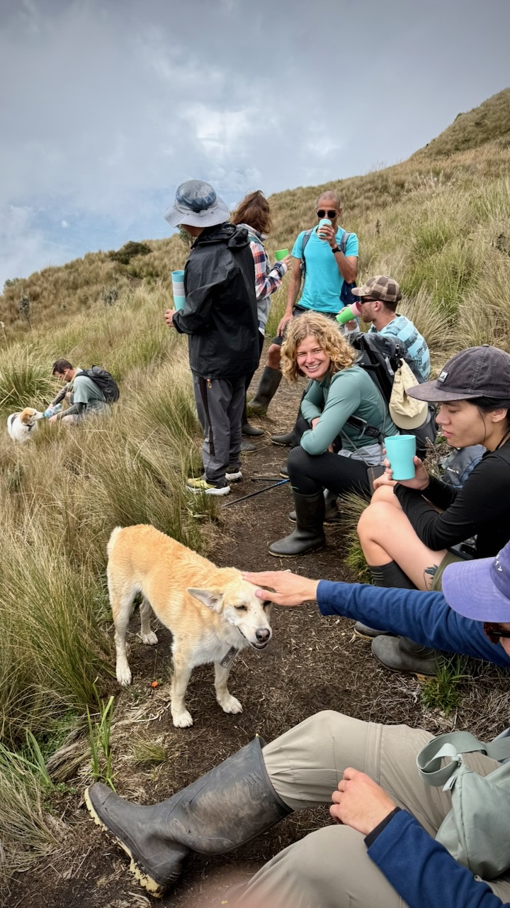
Everyone agreed, the highlight was walking with hostel dogs.
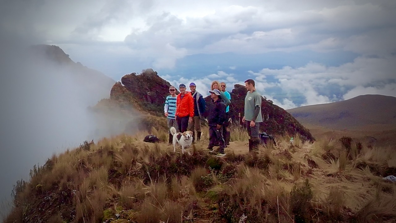
An easy day hike ➙ IF you are acclimatized to altitude. Most days, some who start don’t make it to the top.