Ideal for those doing some serious cooking in the wild.
Especially on adventures where weight is not a major consideration: car camping, kayaking, bikepacking, etc.
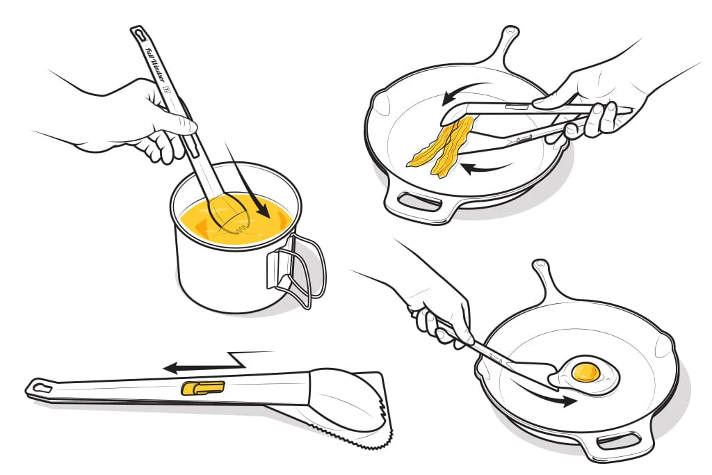
details – 3-IN-1 TONGS, SPATULA & SPORK
Click PLAY or see how they work on YouTube.

Best hikes, treks, tramps in the world.
Ideal for those doing some serious cooking in the wild.
Especially on adventures where weight is not a major consideration: car camping, kayaking, bikepacking, etc.
details – 3-IN-1 TONGS, SPATULA & SPORK
Click PLAY or see how they work on YouTube.
Click PLAY or watch it on YouTube.
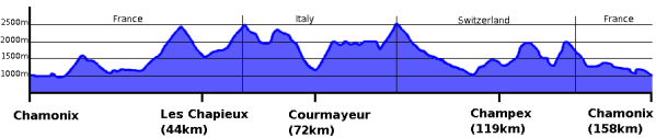
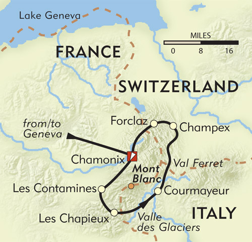
The Haute Route, from France to Switzerland, is one of our top 10 hikes in the world.
Click PLAY or watch a 1 minute introduction on YouTube.
Chamonix to Zermatt, Mont Blanc to the Matterhorn – in two weeks of mountain travel you will see the greatest collection of 4000 metre peaks in the Alps!

Read more on our Haute Route information page.
Perhaps the most famous multi-day route in Europe.

Check out our TMB Information page.
Click PLAY or watch it on YouTube. (39min)
related – the main alternative to the TMB is the Chamonix-Zermatt Haute Route.
Trip report by BestHike editor Rick McCharles
The Walls of Lucca (4.3km loop) is the most popular hike in one of the terrific Tuscan tourist towns.

This is an asphalted path. Easy for everyone.
There are plenty of opportunities to sit on benches or picnic under large trees for breaks.
There are also many exits to go sightseeing if you want to leave the walls for a while and explore the historic centre.
Click PLAY or watch my hike on YouTube. Spaghetti Western theme. 😀
Lucca, near Pisa, has a population of about 90,000. No matter how many tourists arrive, it doesn’t feel crowded.
There’s much to see. But the highlight for most are the walls encircling the old town.
Initially built as a defensive rampart, it’s become a pedestrian promenade.
Click PLAY or watch Rick Steve’s highlights on YouTube.
Alice Pizza is a super popular chain. Light, airy dough made with little yeast.
Of 60 varieties, my server in Lucca recommended something unique. Like a pizza ham sandwich. Served cold, not hot. Delicious.

The Haute Route, from France to Switzerland, is one of our top 10 hikes in the world.
Click PLAY or watch a 1 minute introduction on YouTube.
Chamonix to Zermatt, Mont Blanc to the Matterhorn – in two weeks of mountain travel you will see the greatest collection of 4000 metre peaks in the Alps!
Read more on our Haute Route information page.
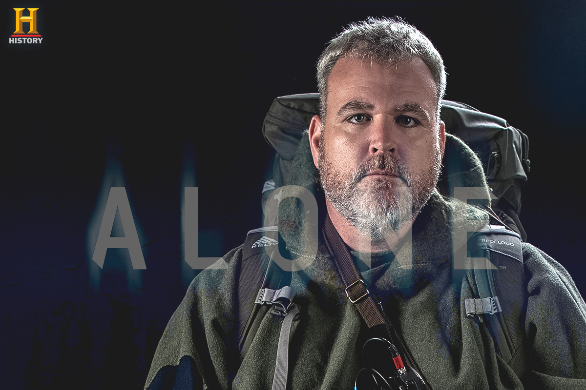
Alone (TV series) … follows the self-documented daily struggles of 10 individuals (seven paired teams in season 4) as they survive alone in the wilderness for as long as possible using a limited amount of survival equipment. …
They may “tap out” at any time, or be removed due to failing a medical check-in. The contestant who remains the longest wins a grand prize of $500,000. …
Seasons 1, 2 and 4 were shot on Vancouver Island.
The first season premiered 2015.
They were dropped on Quatsino Sound in Northern Vancouver Island, Canada, only accessible by boat or float plane.
As I hike and cycle a lot on the Island, I was keen to see how mere mortals could live off the land in a remote rain forest.
Starting a fire was the first big challenge. EVERYTHING is wet all the time.
Food was the long term challenge.
Lucas was by far the most skilled in season 1. He built a boat, yurt and even a musical instrument.
But Lucas didn’t take home the $500K first prize. That went to the contestant that was psychologically strongest. I do believe he could have lasted weeks longer — though he lost over 60 pounds.
The 10 people selected for season 2 were better prepared. The challenge was the same — remote, wet Vancouver Island. Though the weather was better.
The final four all found ways to last a long time. But as winter approached, the food supply dwindled.
Nicole was one of my favourites. Marine biologist. Expert in intertidal zone ecosystem. Knows what plants to eat. What plants not to eat.
She had the luxury of letting a big salmon go free one day. Wow.
I was cheering Jose, as well, a Spaniard who had adopted the ways of the North American indigenous peoples. His kayak is amazing.
In the end, missing loved ones at home was the final reason to tap out.
Click PLAY or watch it on YouTube.
Season 4 had seven teams of family members competing against one another.
Same geographical location.
Personally, I found the pairs stories less interesting. Did not finish the season.
Andrew Skurka:
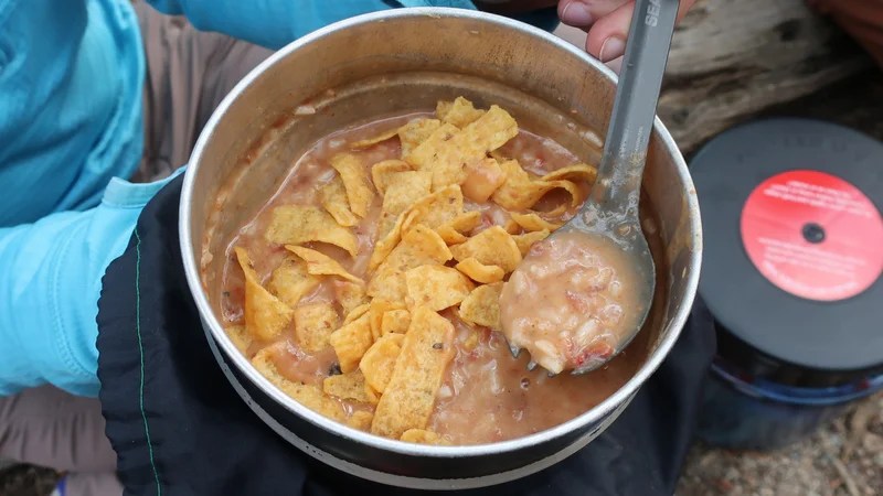
My experience is that most backpackers will be satisfied with 2,250 to 2,750 calories per day.
If you are young, muscular, larger in size, and/or on an intense trip, aim for the high end of this range. If you are the opposite of any of those aim for the low end of this range.
Calorie-counting is tedious, so you may find it more practical to weigh your food. In this case, aim for 18 to 22 ounces of food per day.
The average caloric density of your food is generally about 125 calories per ounce, so 18 ounces equals 2,250 calories and 22 ounces equals 2,750 calories. …
Food-Planning Basics for Backpacking
Full Windsor sent me a sample set of their Magnetic Flatware.
And I’m impressed.
High quality. Durable. And the magnetic coupling is super slick.
There’s no way I could possibly bend or break the spoon as I’ve often done in the past with metal and titanium. The knife has a serrated edge that could cut wire!
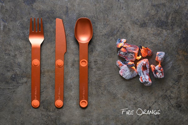
Click PLAY or watch it on YouTube.
I’ll be doing a detailed video review on my next multi-day adventure.
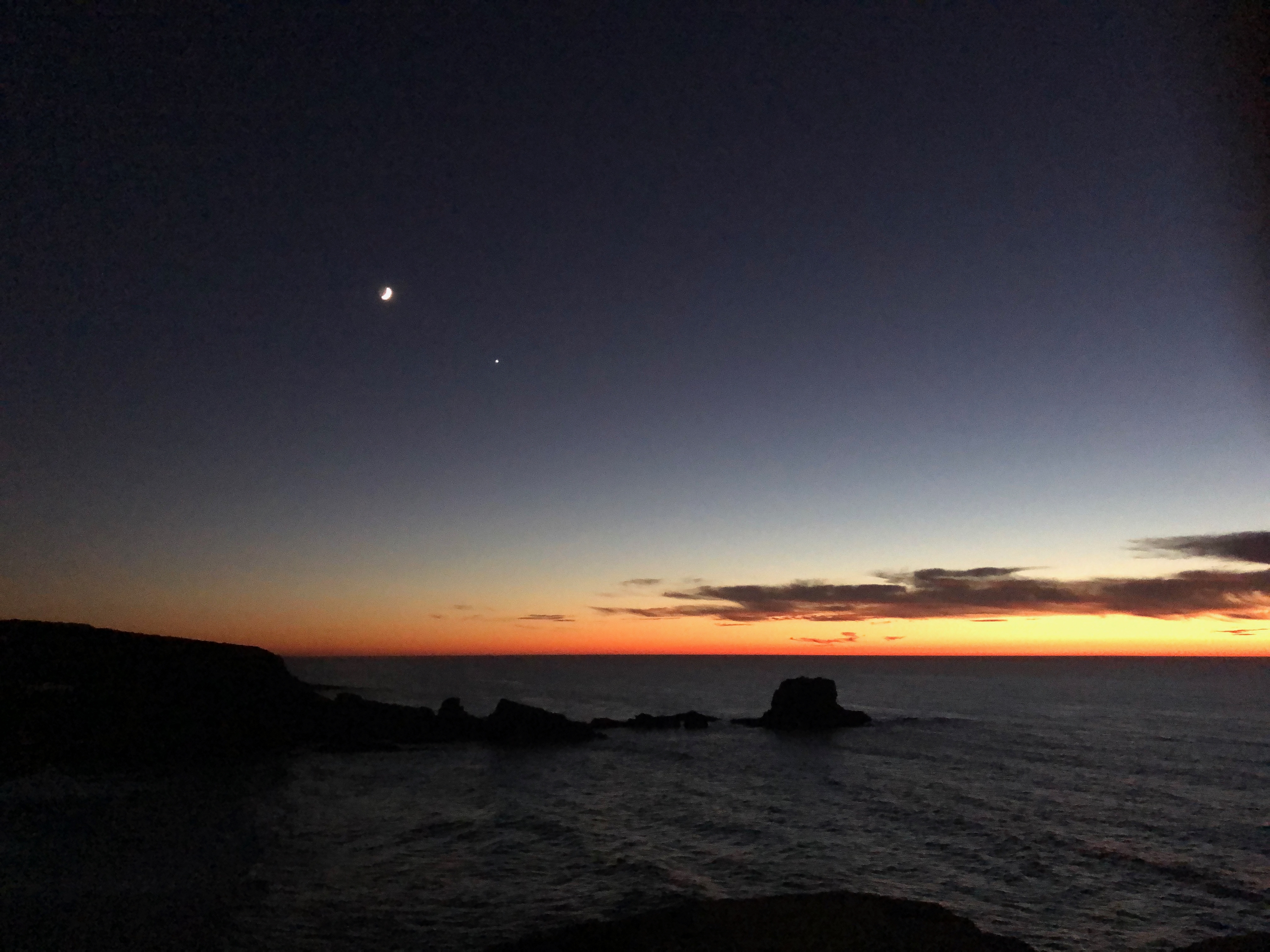
Trip report by BestHike editor Rick McCharles
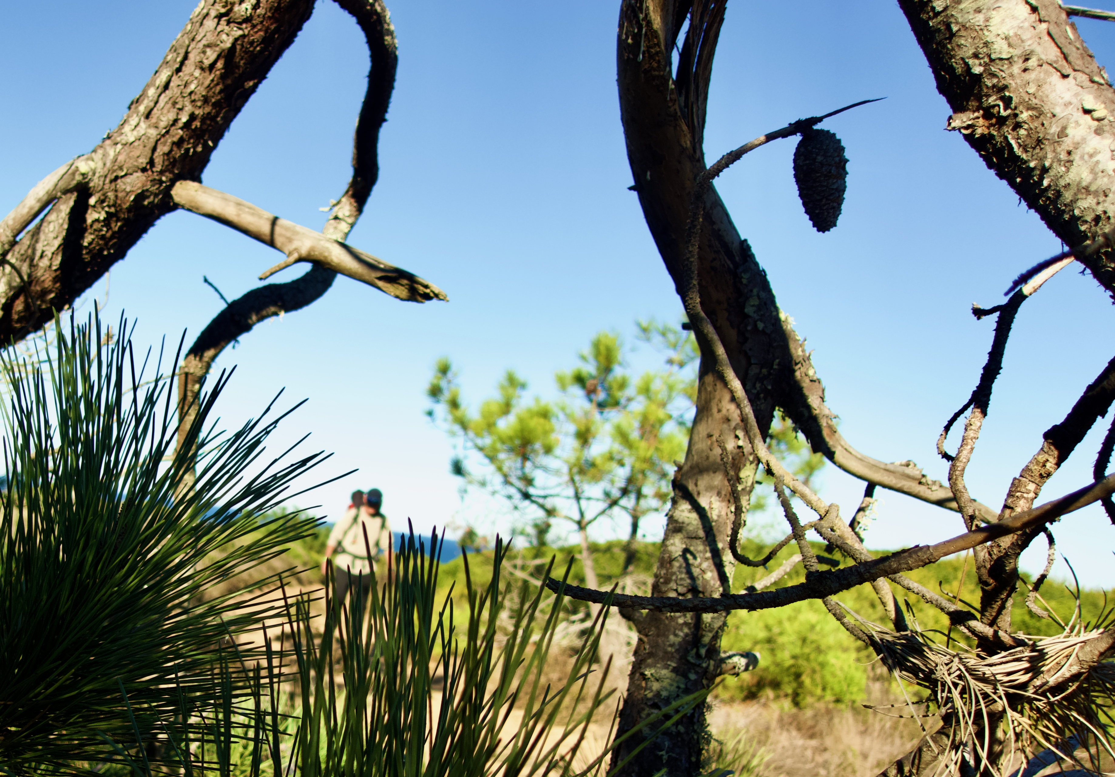
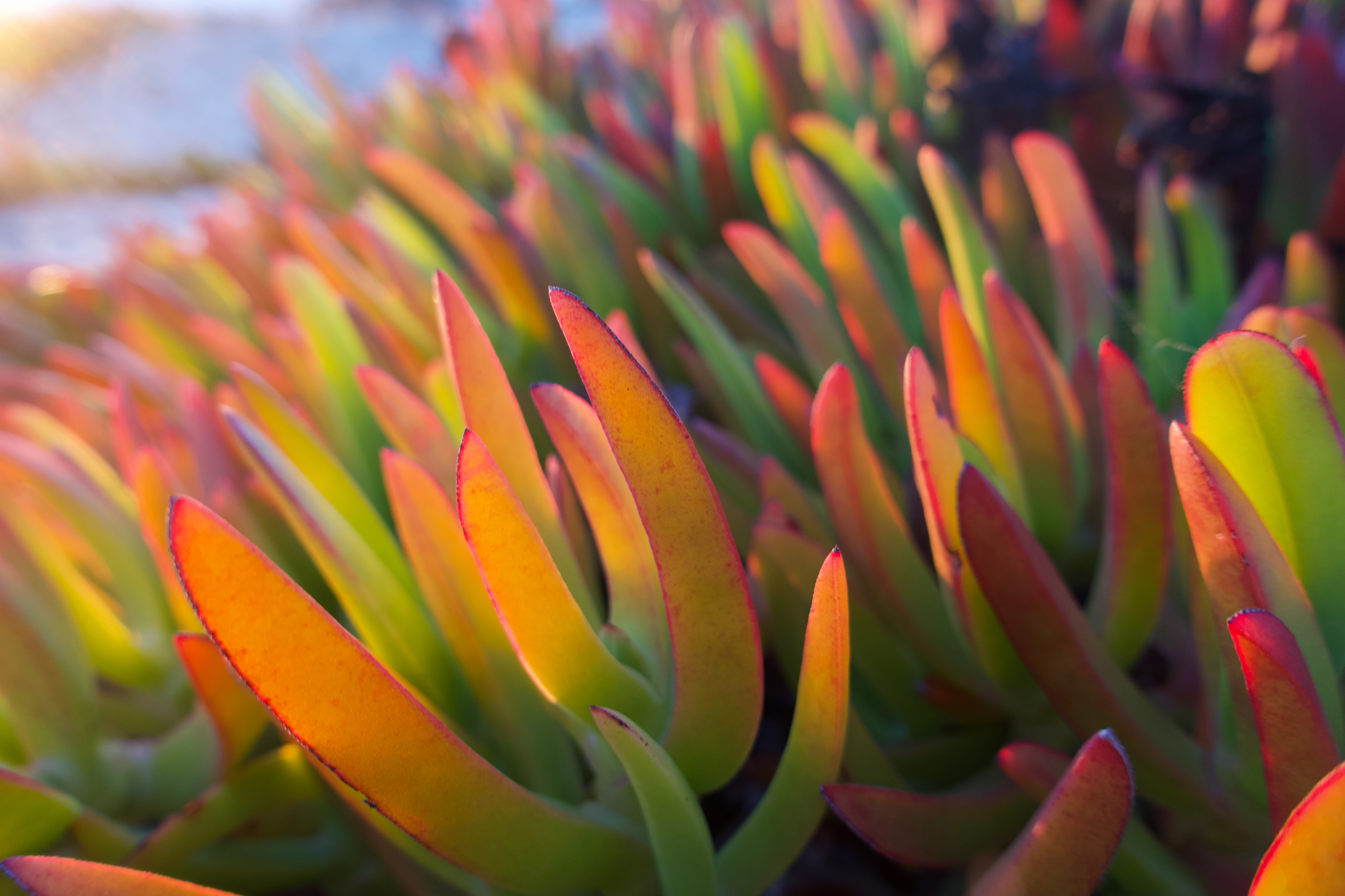
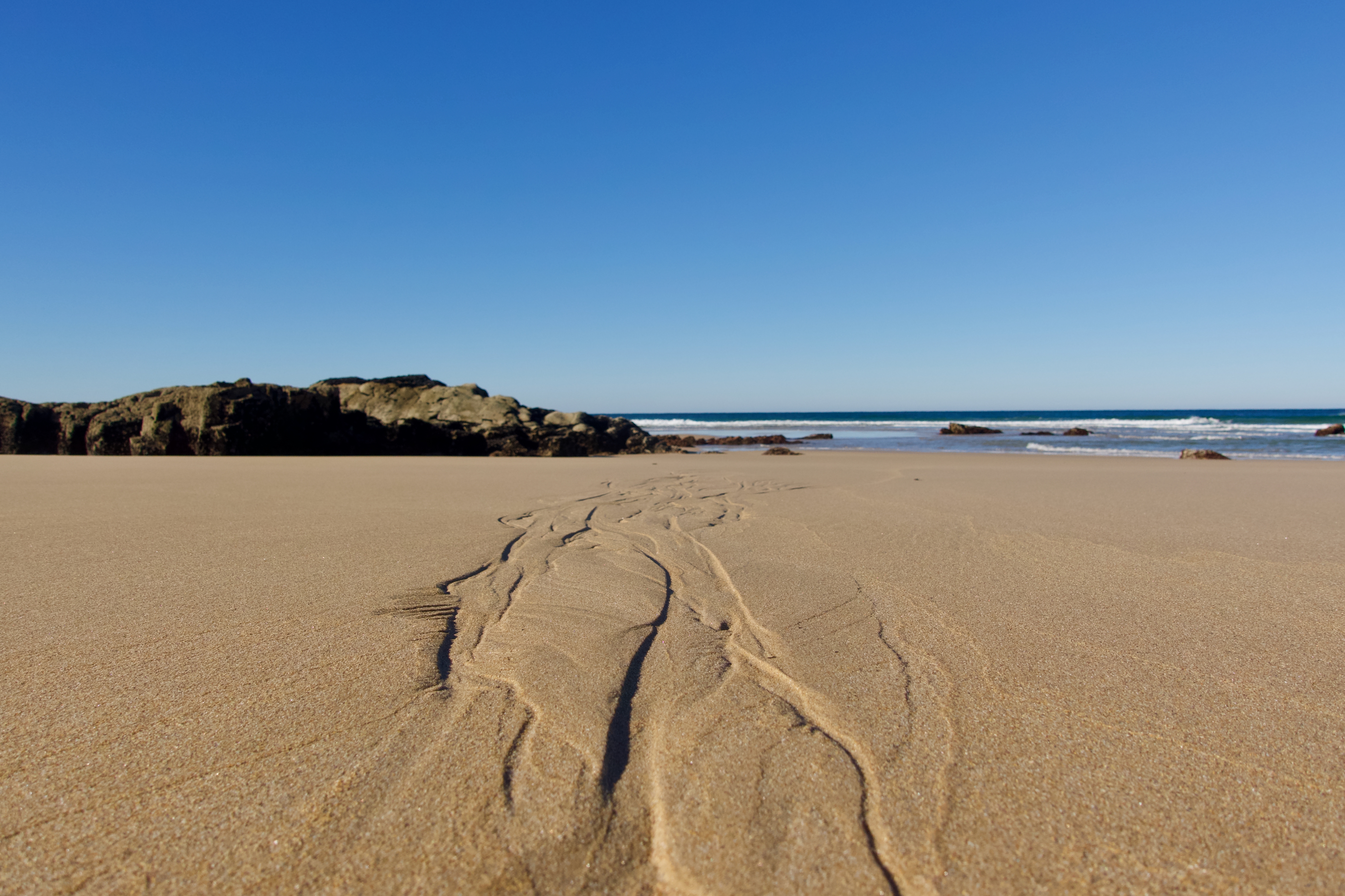
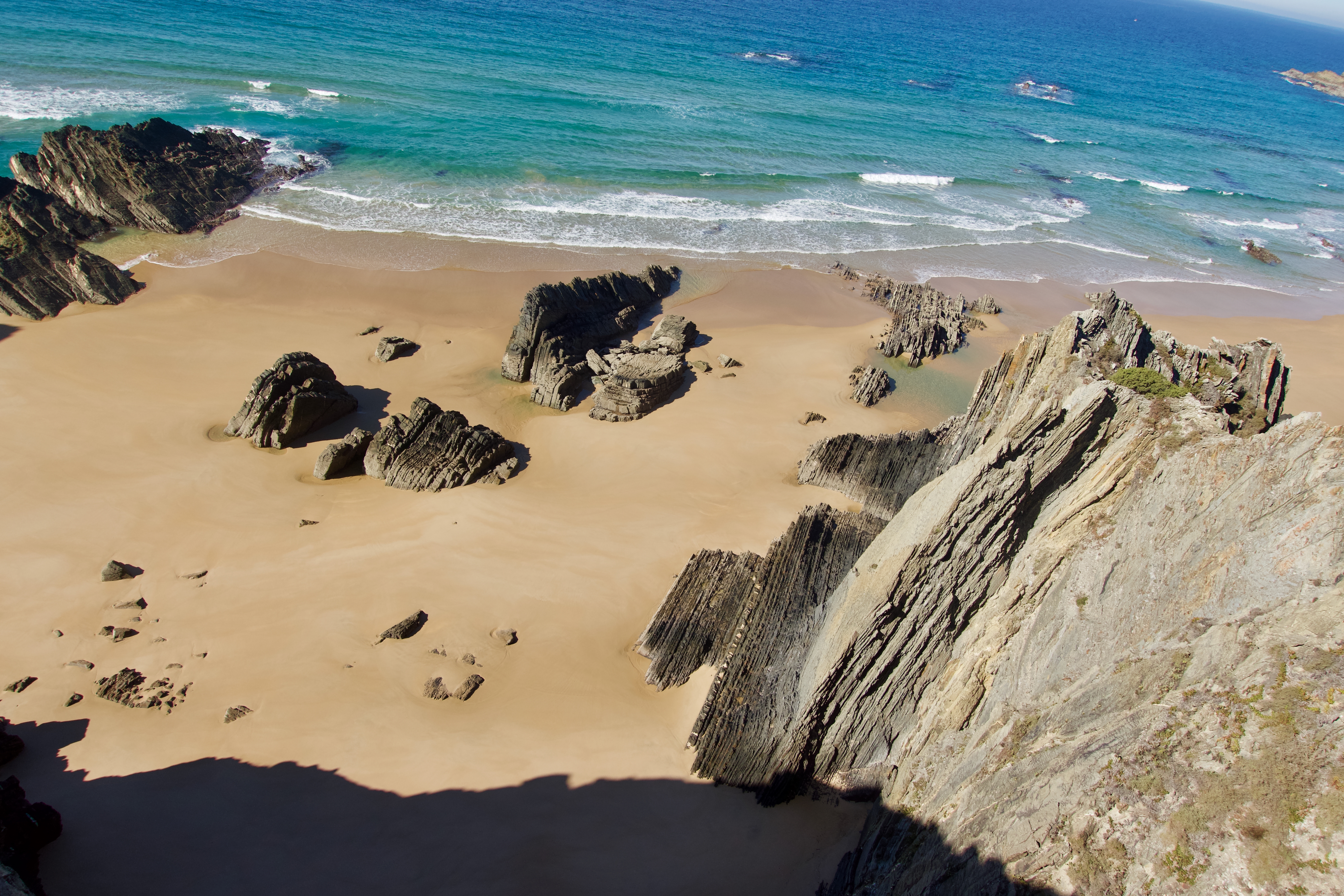
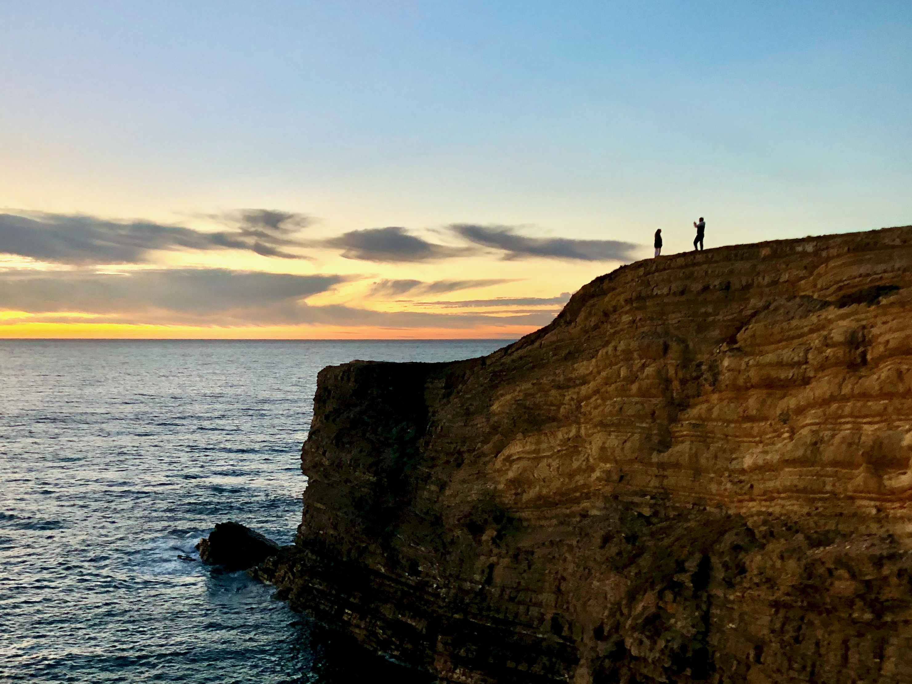
I FINALLY hiked Fisherman’s, one of the world’s best coastal hikes.
Porto Covo to Zambujeira do Mar in NOVEMBER.
Click PLAY or get a glimpse on YouTube.
Sunsets are what I remember best. Usually with wine.
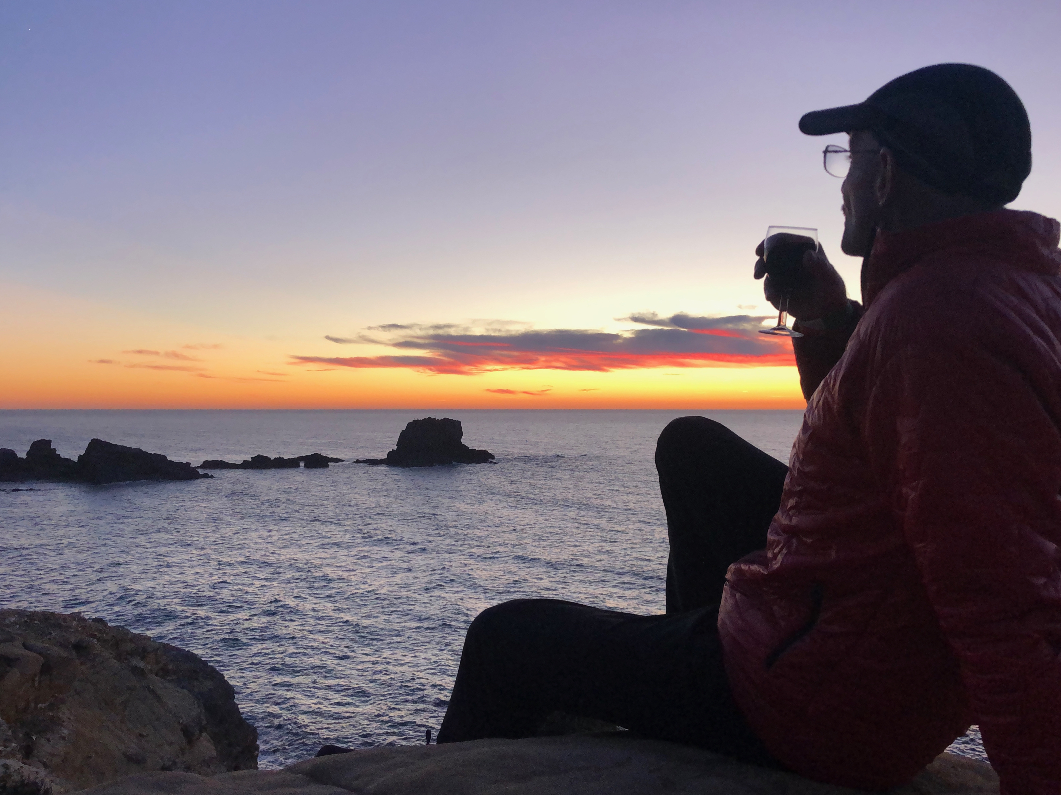
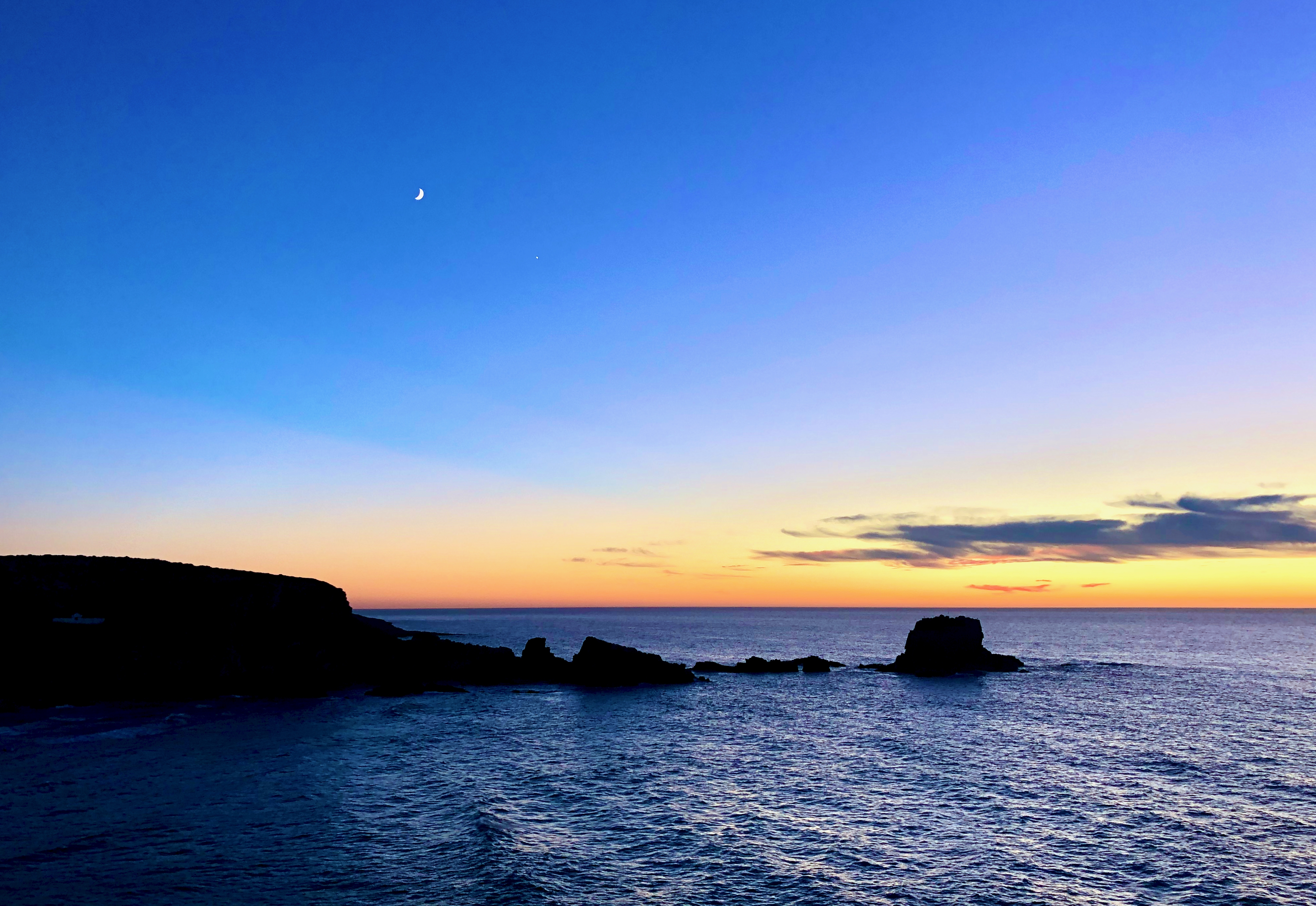
Weather was perfect for me in early November, though it’s considered too late in the year for hiking. I saw only about 12 other multi-day hikers over 4 days. Most hotels and restaurants had already closed for the season.
Beach walking is lovely … for a while. There’s a LOT of sand on this adventure.
In November I had most beaches to myself.
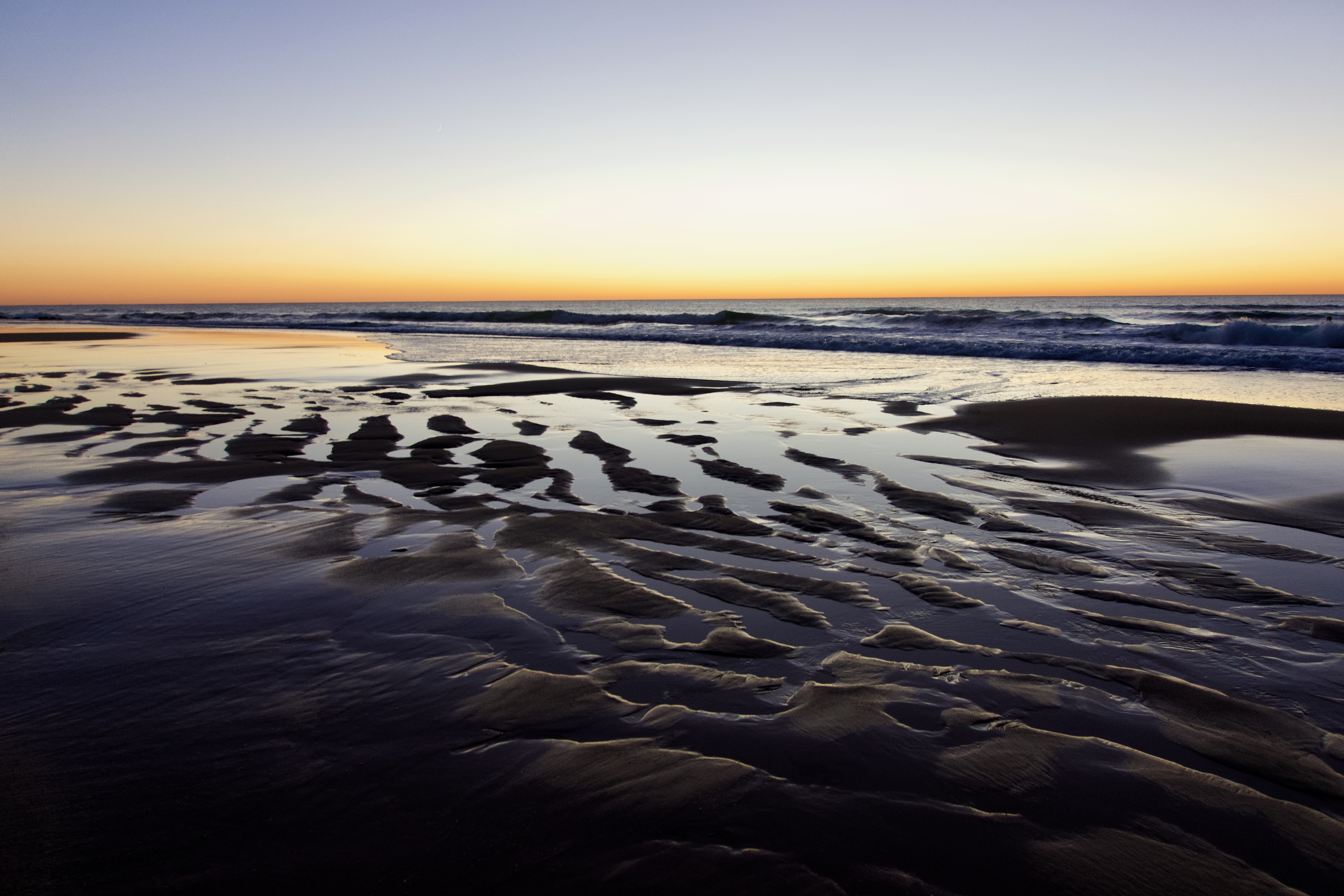
Clifftop vistas are stunning.
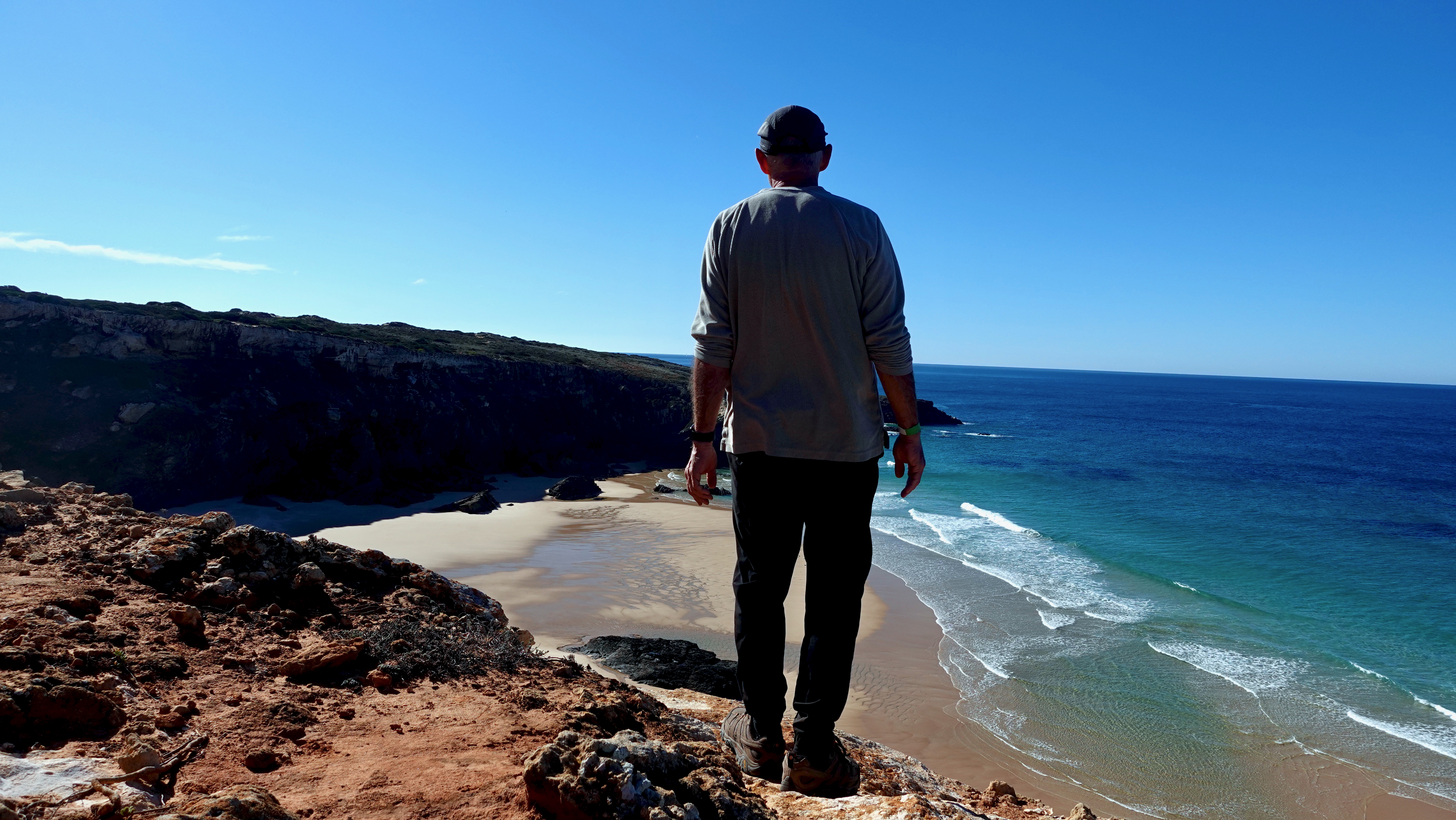
Charming villages are particularly charming in November, nearly deserted in the off-season.
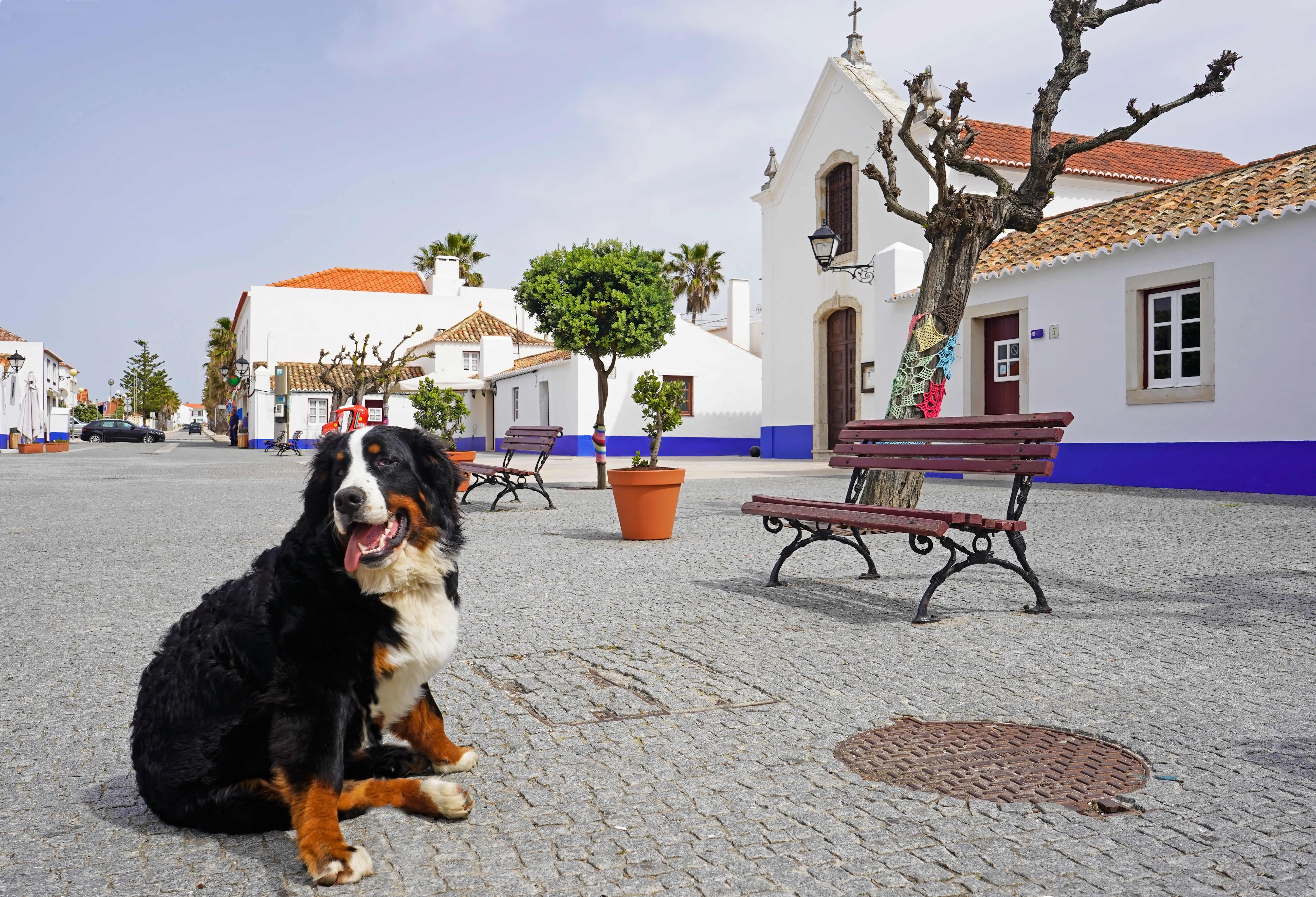
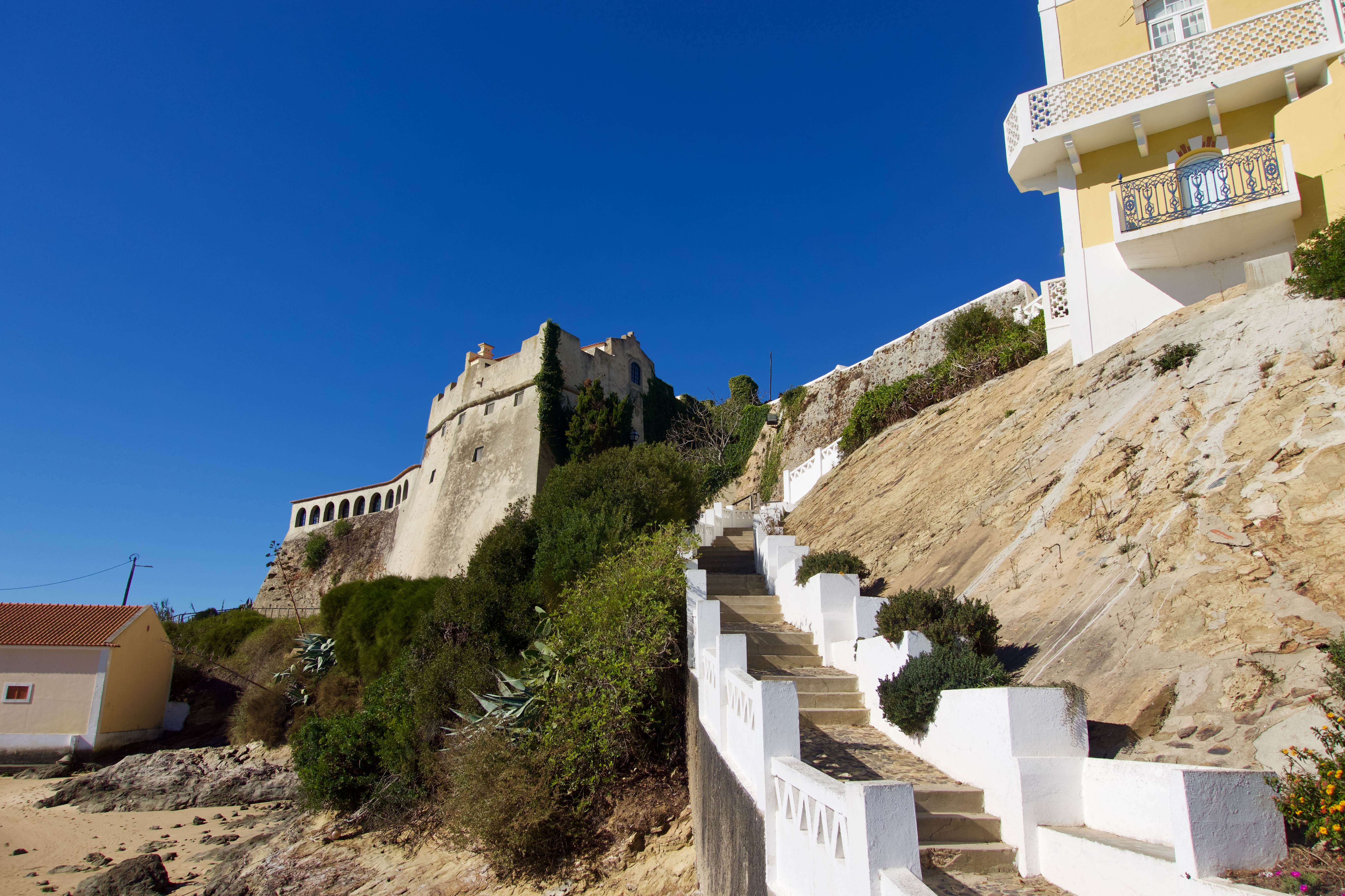
I’d highly recommend 3 days, 3 nights Porto Covo to Zambujeira do Mar. In either direction.
As do most, I added Zambujeira to Odeceixe. But you could certainly skip that day as it doesn’t add much. And requires quite a few kms of road walking.
If looking for MORE, however, Fisherman’s Trail (Porto Novo to Odeceixe) is only one section of the longer Rota Vicentina.

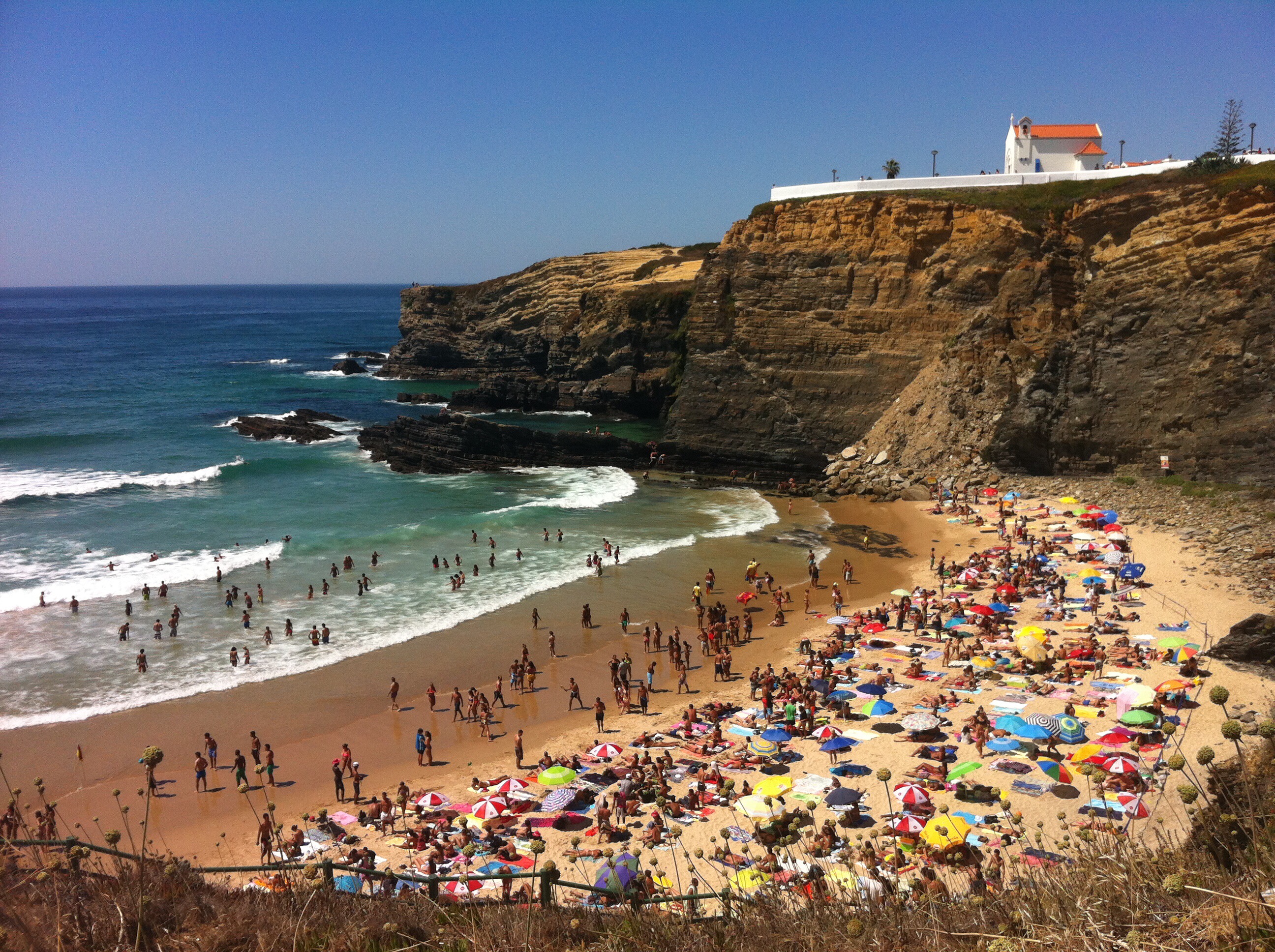
In case you’re considering hiking high season, here’s how some beaches may look on a busy day.
related – STINGY NOMADS trip report
