
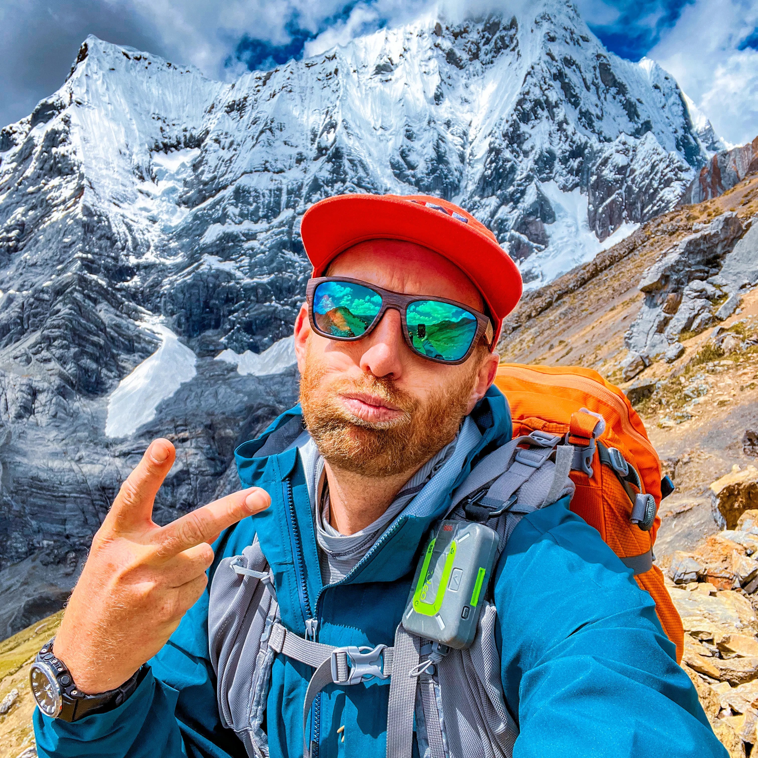
Trip Report by BestHike editor Rick McCharles
Quick overview using just my own photos in this post. I’ll share more detailed information in the near future.
Click PLAY or watch it on YouTube.
There are over 500 companies offering Serengeti wildlife tours.
Least expensive — about U.S. $200 / day in 2026 — is sleeping in large canvas tents.
I signed up for one of the “Camping Safaris” that welcomed solo travellers.
DAY 1
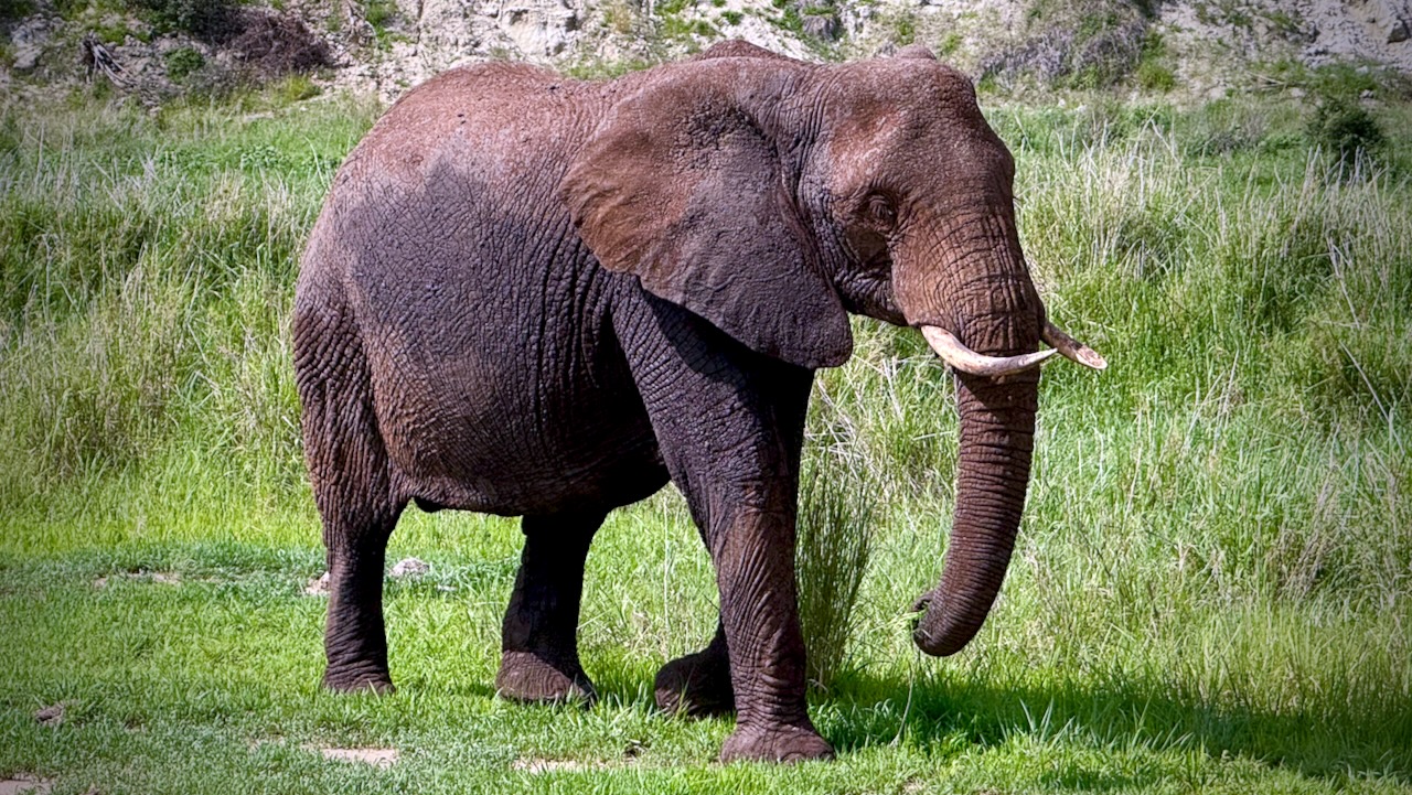
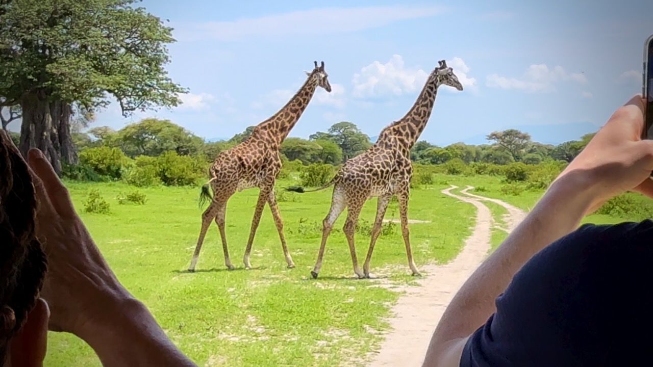
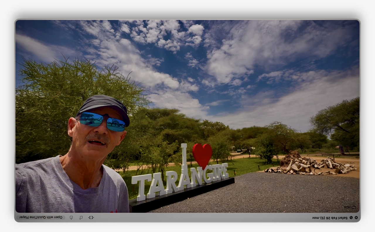
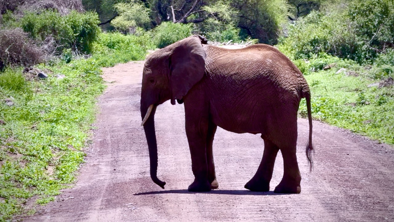
Arusha to Tarangire National Park
A great start. Tarangire is known as the Elephant Paradise. We saw MANY elephants and giraffes close up.
Giraffes love munching on Acacia — despite the very sharp spines.
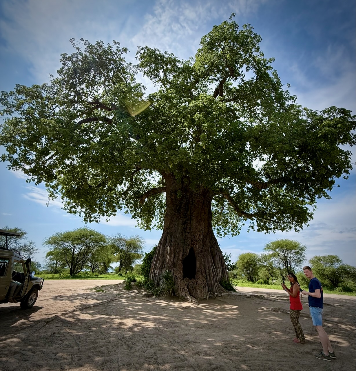
Huge Baobab trees are a highlight, as well. I do love the African trees.
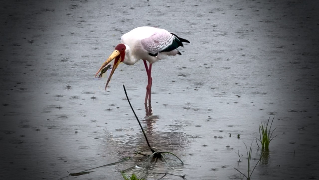
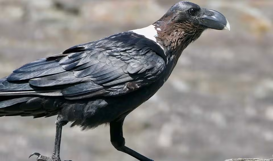
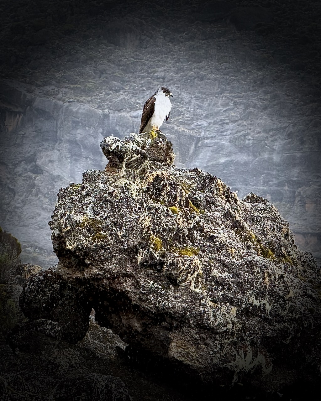
Home to more than 550 bird species, the park is a haven for bird enthusiasts.
And this enthusiast.
I’d signed on solo just the day before. Our group was 5 individuals who hadn’t met one another before meeting in the Toyota Landcruiser.
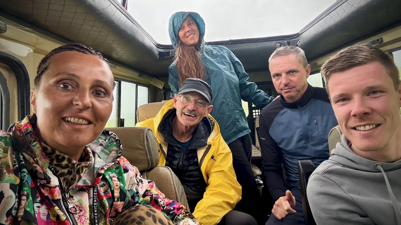
We actually had 2 LandCruisers. 2 Guide / Drivers. 2 groups. And one cook.
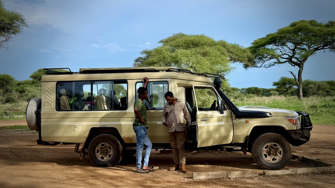
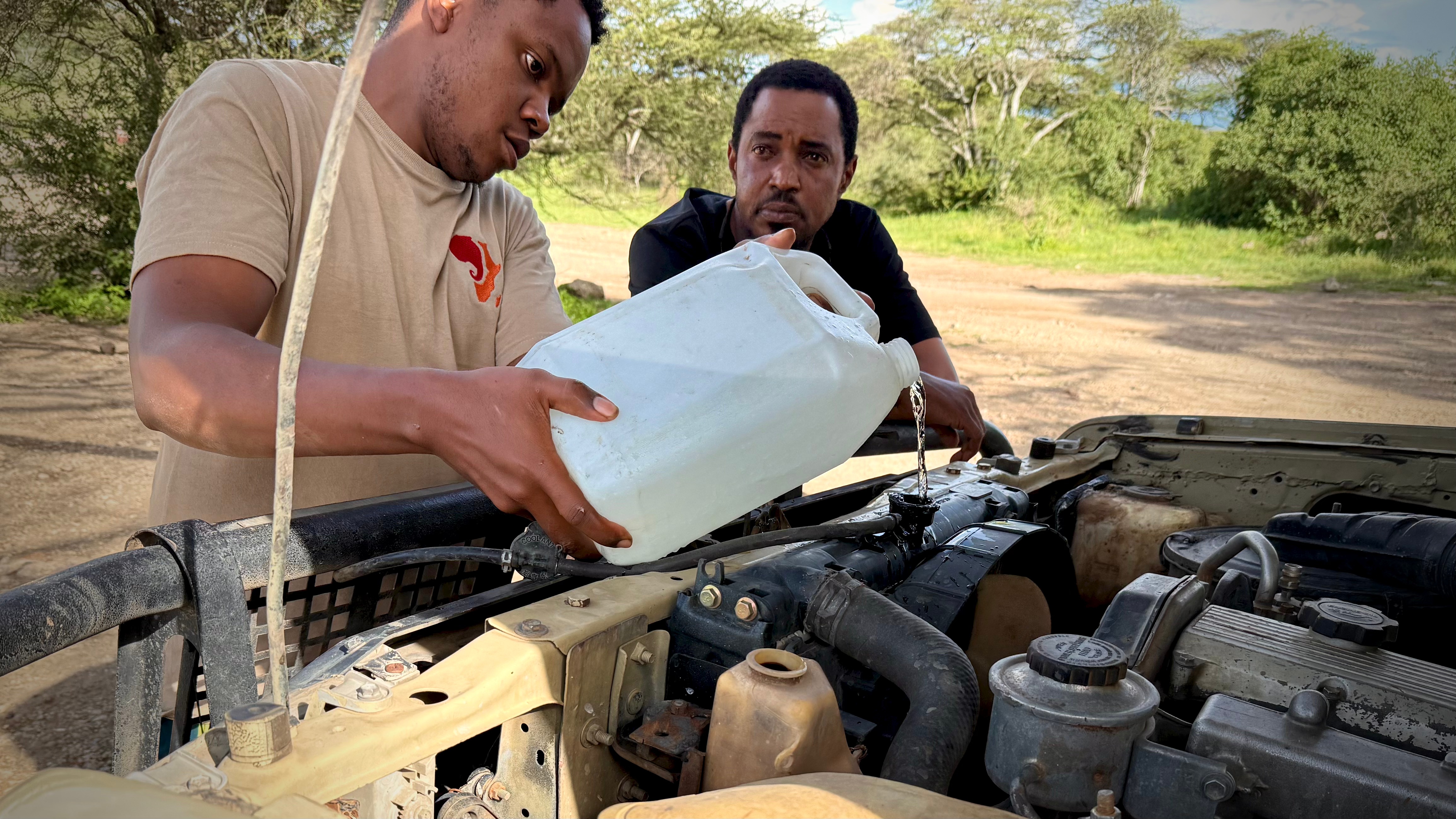
These LandCruisers are incredibly tough — but they do need constant maintenance. We saw several being towed. One crashed on the highway.
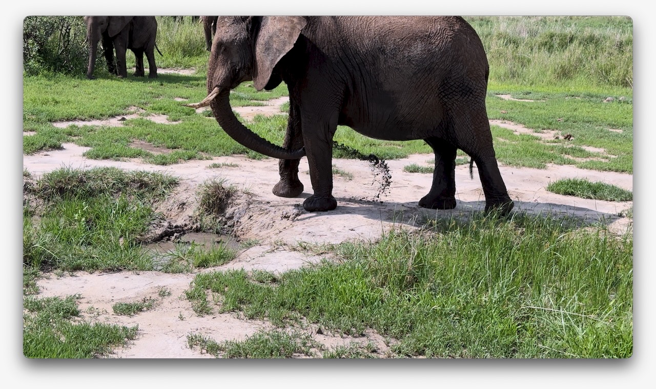
Very memorable was watching elephants give themselves a mud bath.
I was surprised to find myself staying in a comfortable hotel in Mosquito River. I’d signed up for a camping safari. 😀
DAY 2
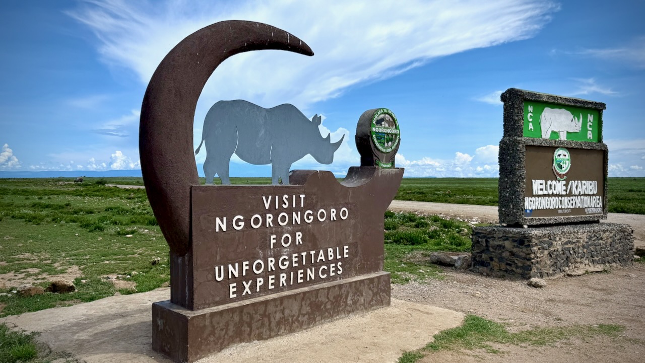
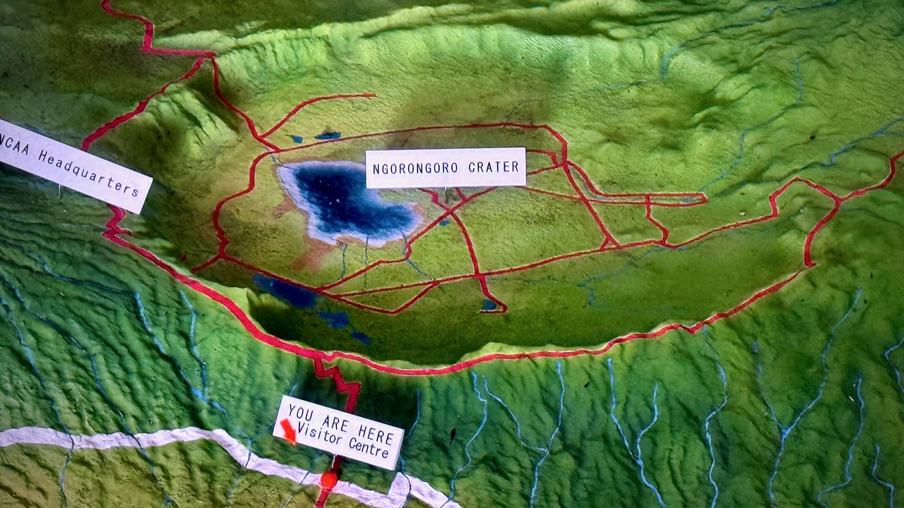
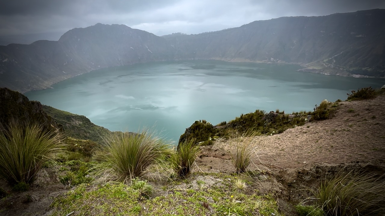
To Ngorongoro Conservation Area
For me Ngorongoro was even better than Serengeti.
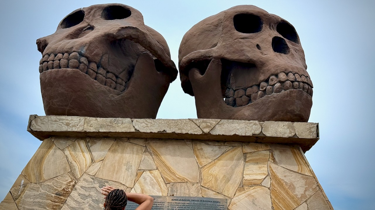
This is where Mary Leakey worked for decades. Olduvai Gorge. Hominin fossils more than 3.75 million years old.
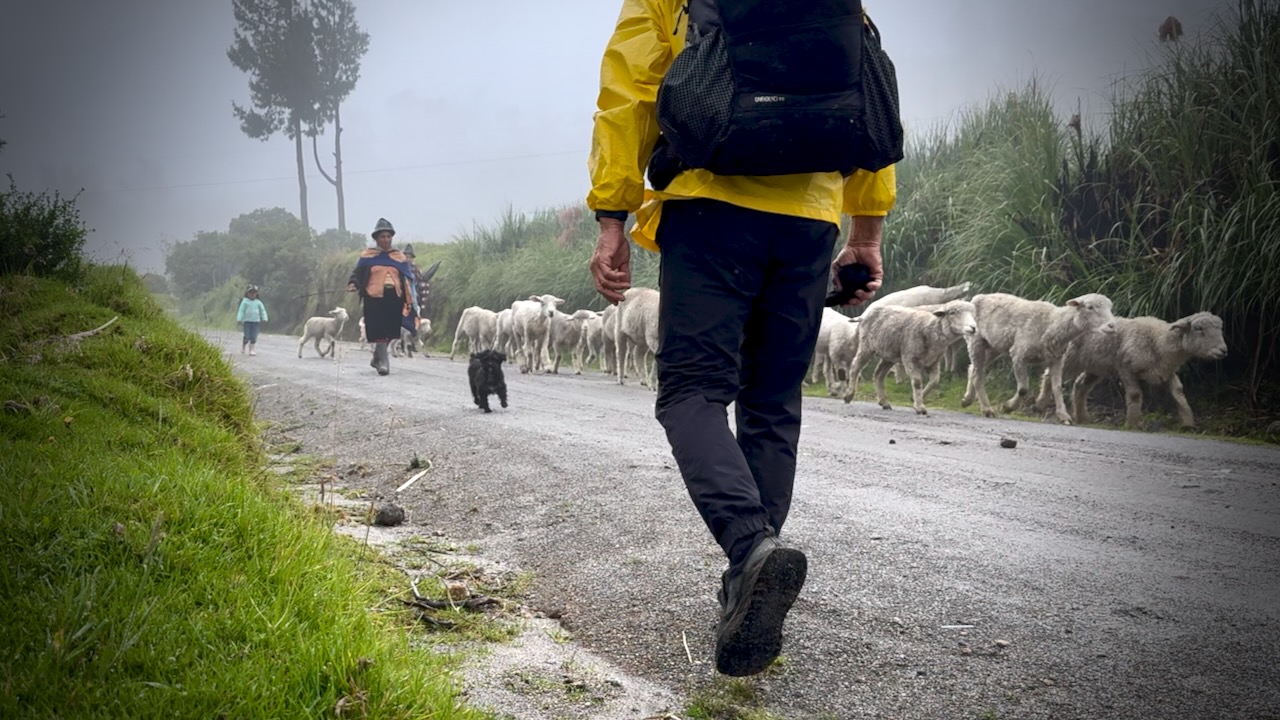
The Maasai still live in the highlands here, though they are no longer in the caldera nor in the National Parks. Maasai herds can be as impressive as the wild animals.
Kids as young as age-4 are sometimes given responsibility to watch them.
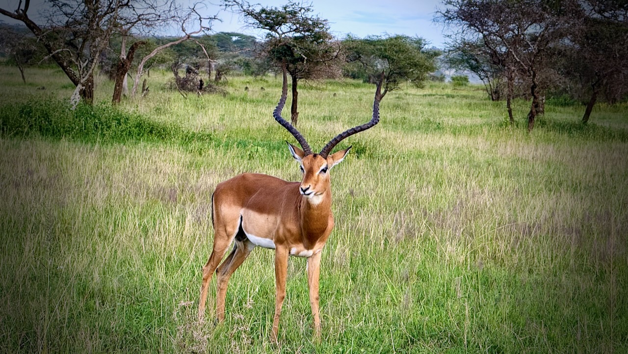
I hadn’t realized how many Impala and similar antelopes roam these grasslands.
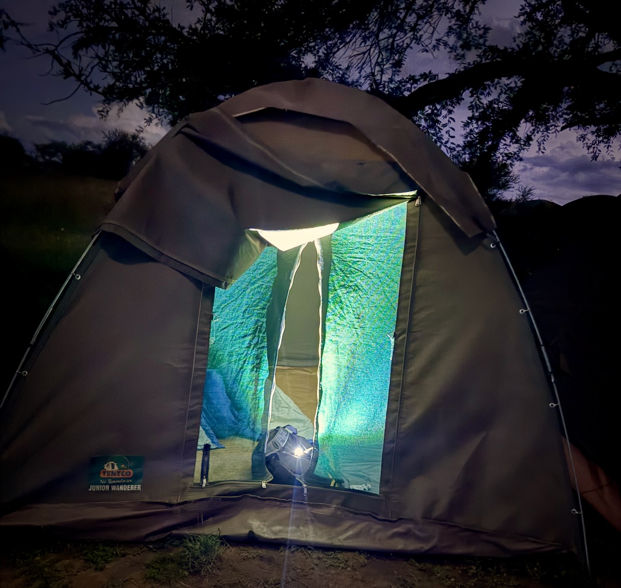
We camped in Serengeti.
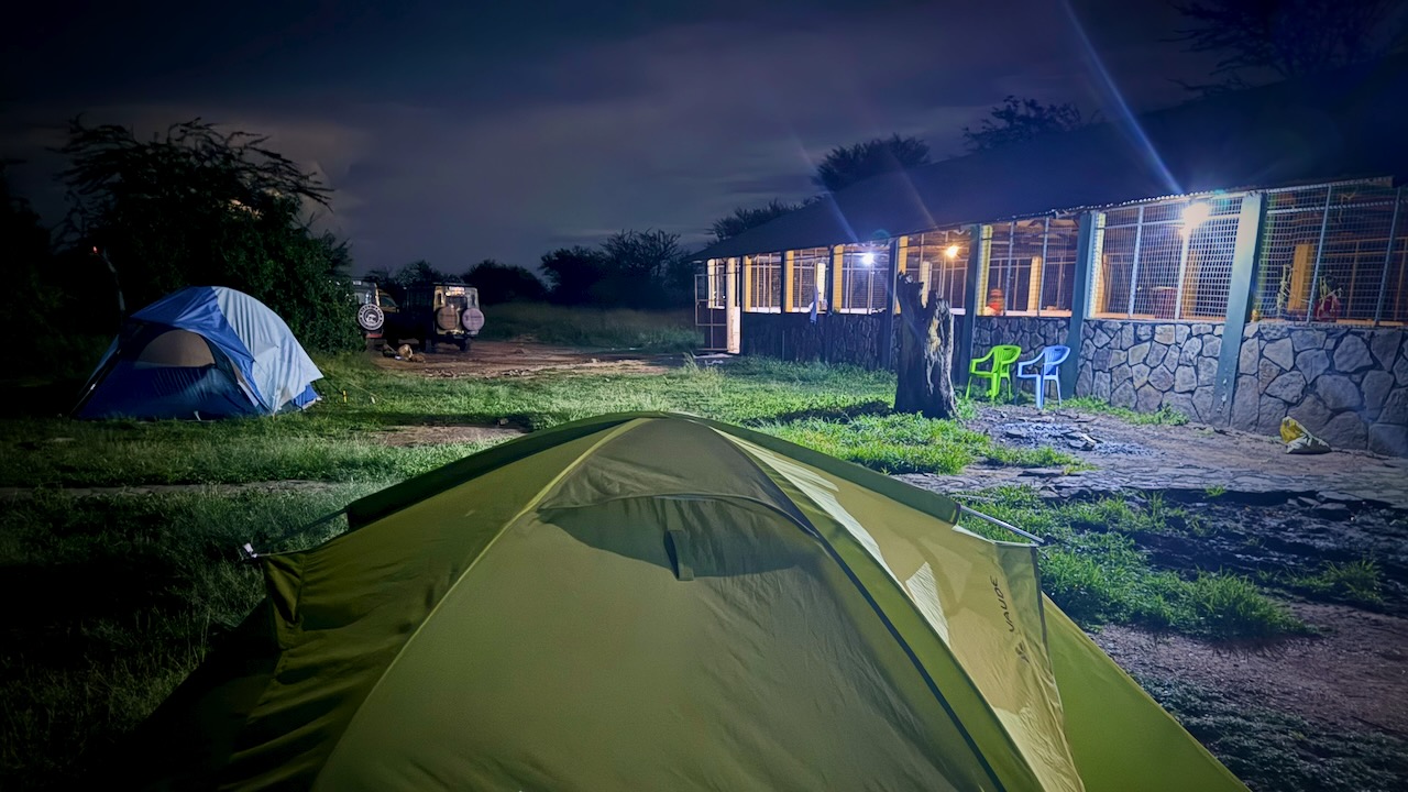
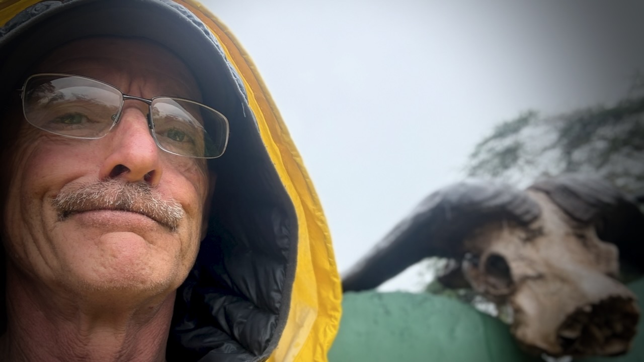
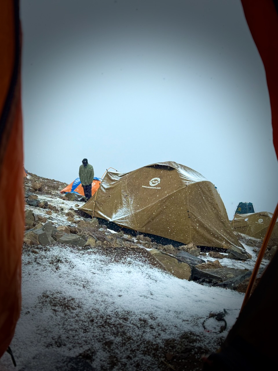
Simple canvas tents. I used my own sleeping bag and air mattress.
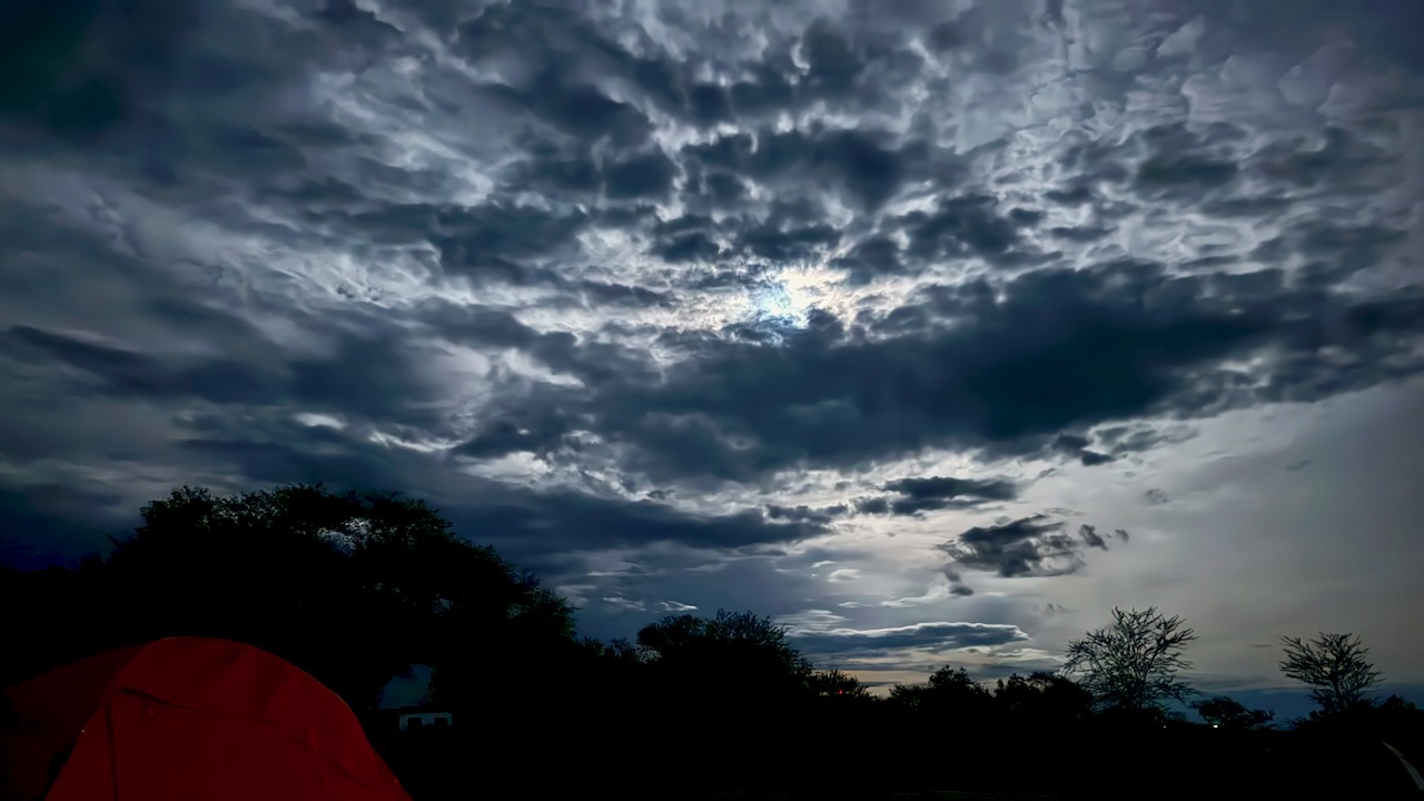
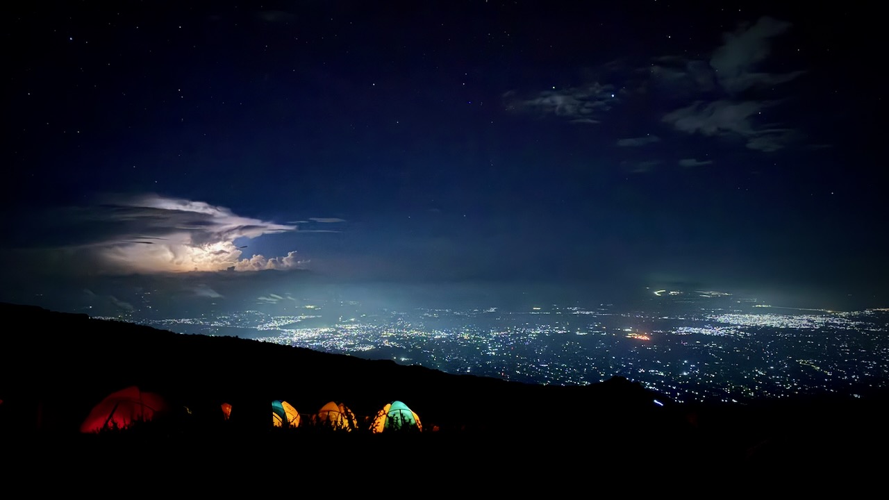
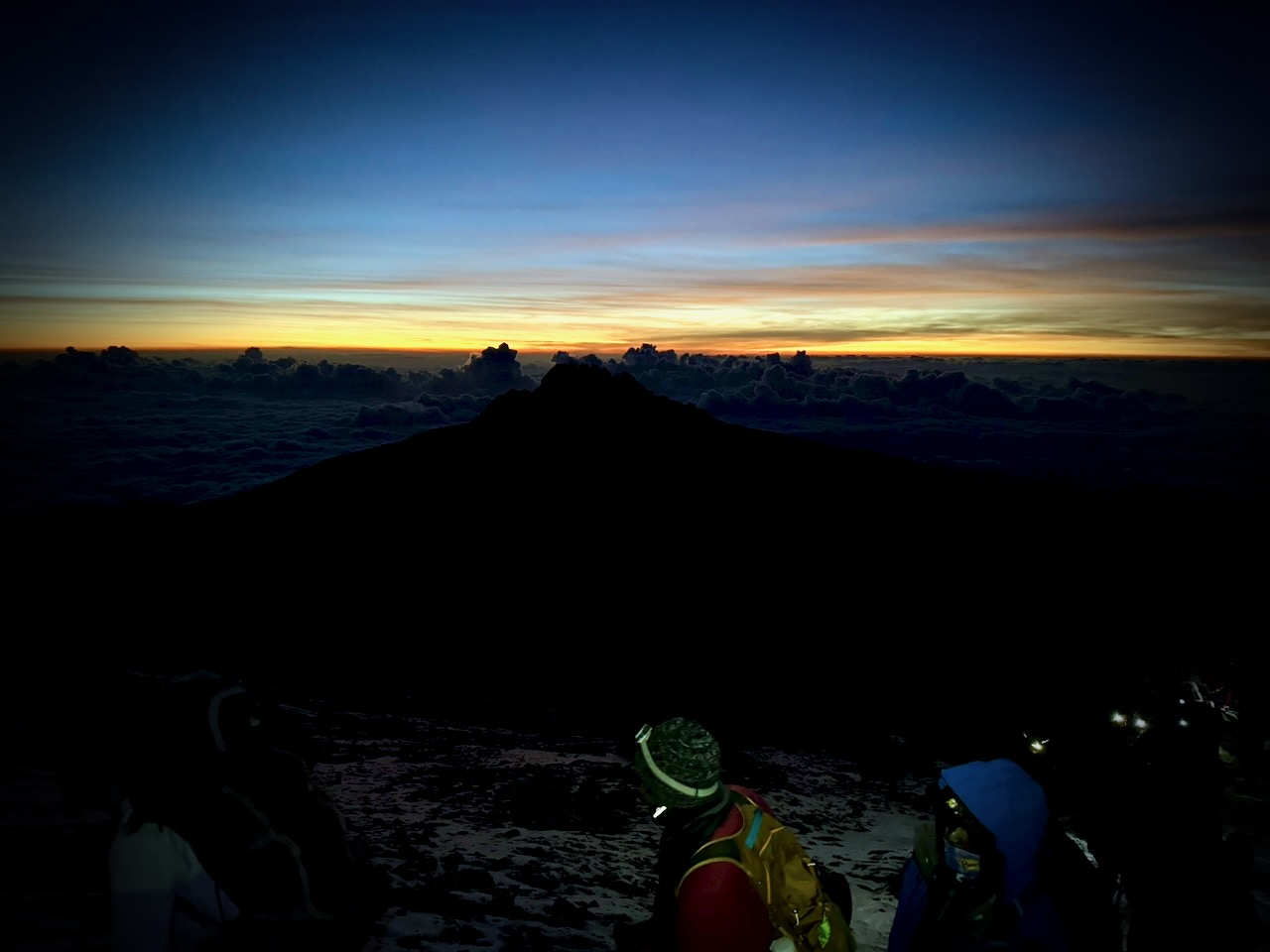
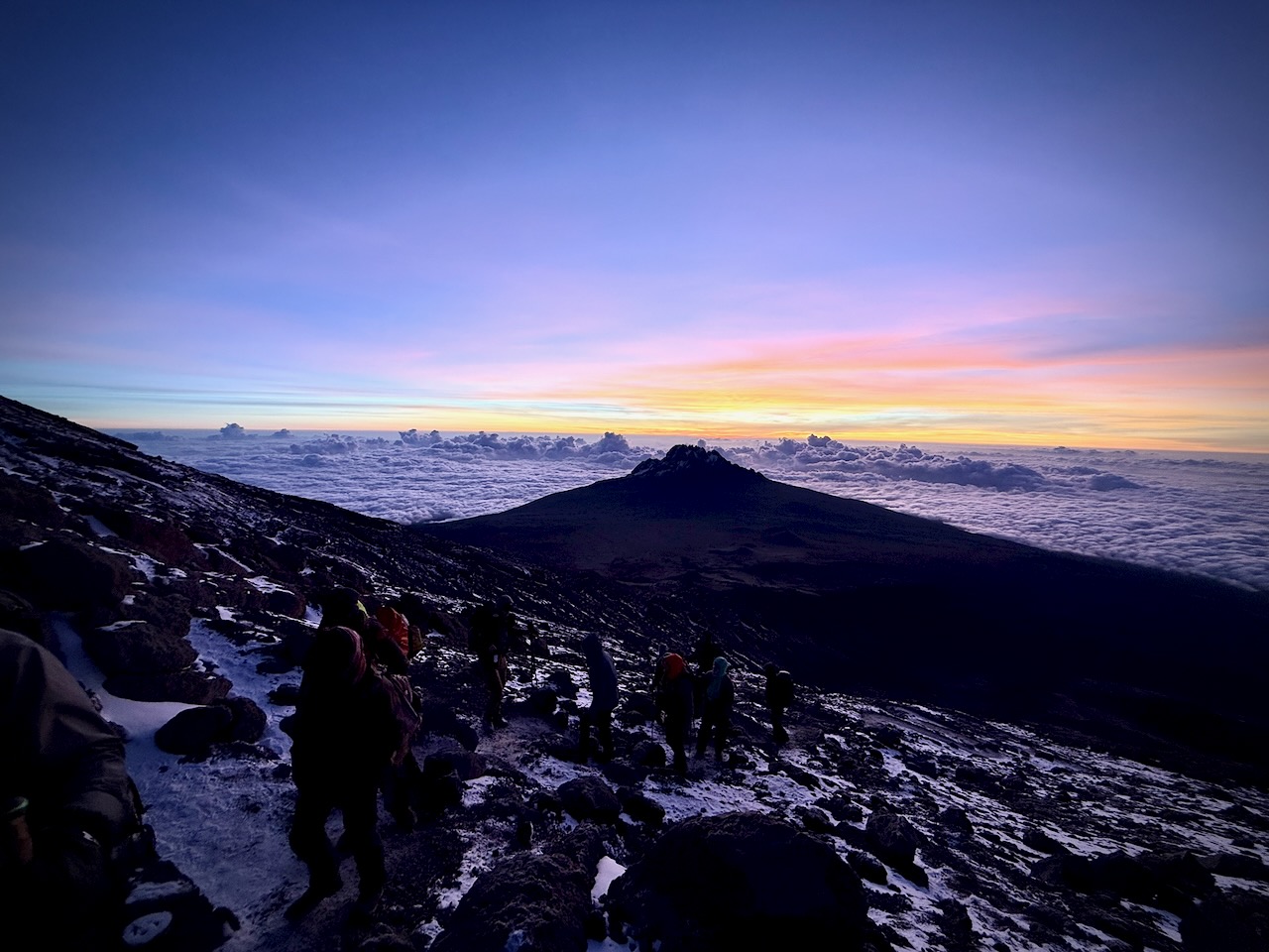
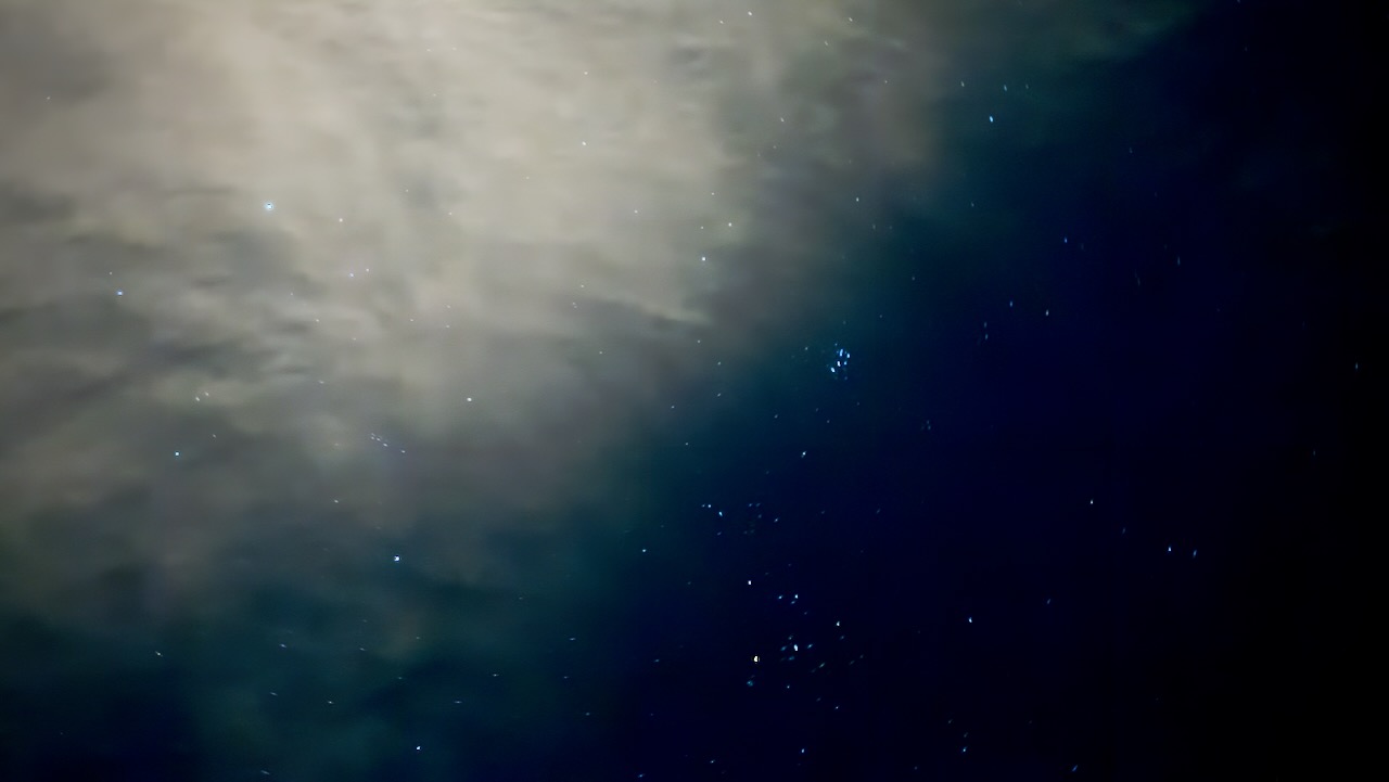
During a 2am pee break, here’s how the sky looked to my iPhone 16 Pro.
DAY 3
Touring Serengeti National Park
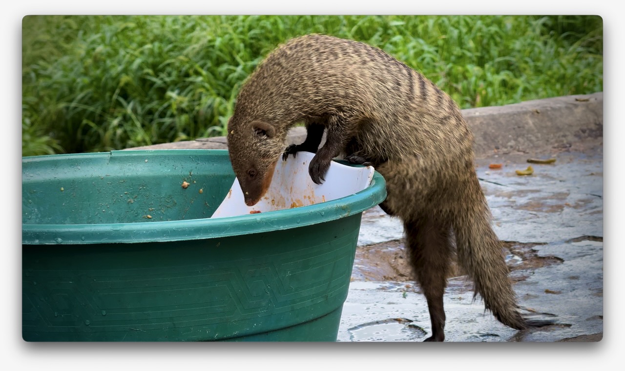
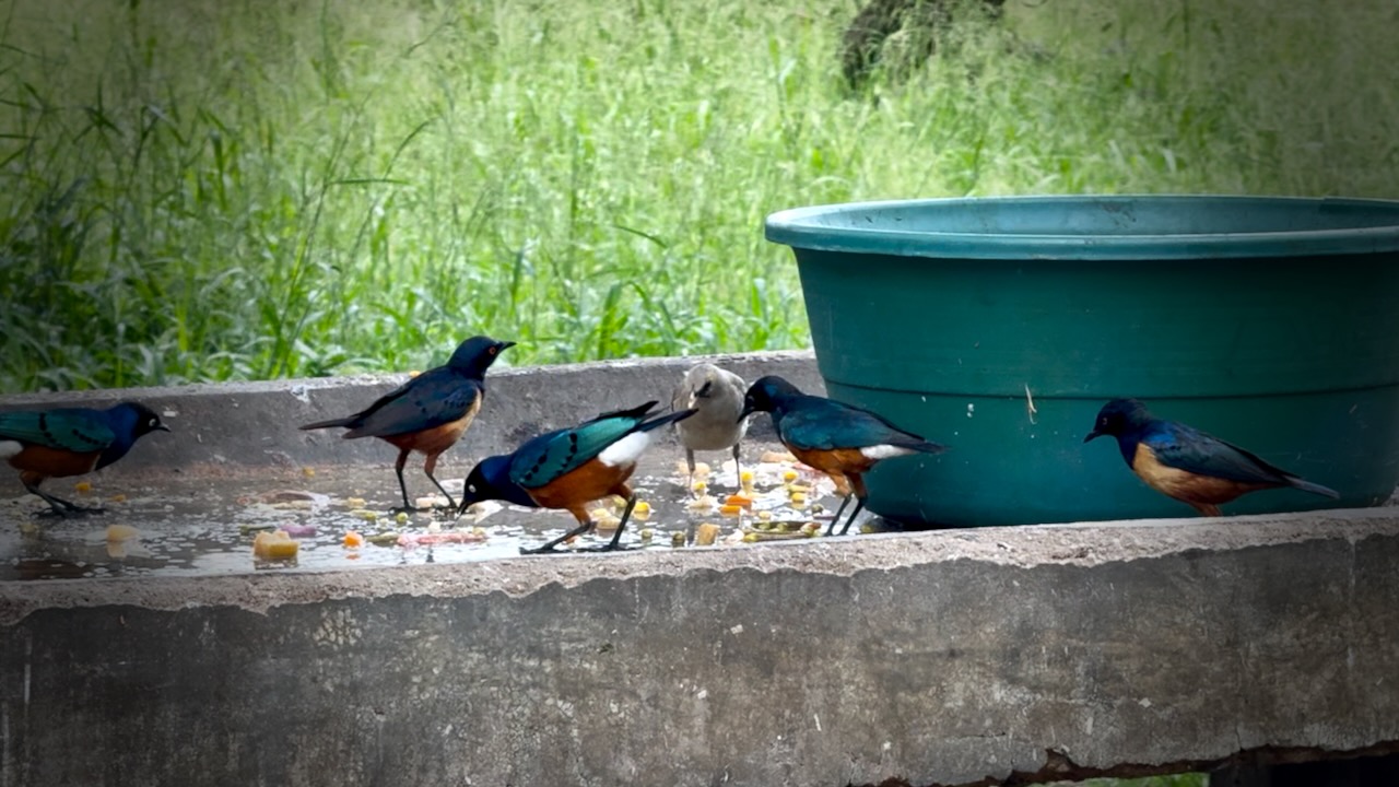
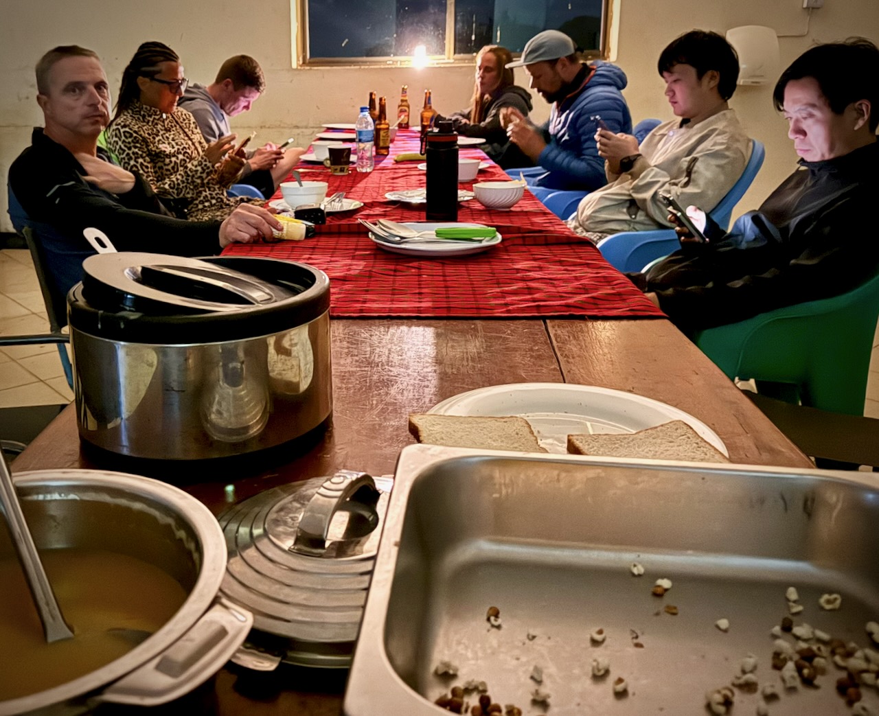
Check out our breakfast visitors. 😀
A horde of mongoose. Including babies.
Two huge cranes.
Dozens of small songbirds.
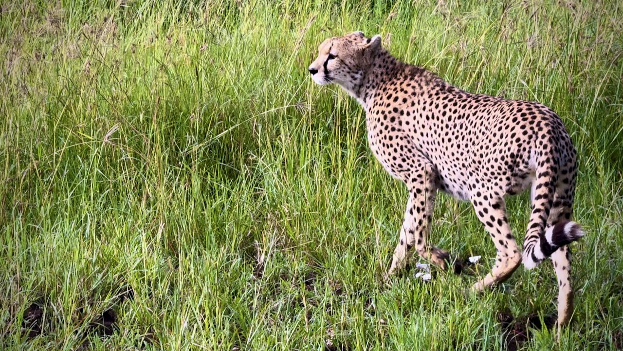
Serengeti is astonishingly vast grasslands. Massive number of grazing animals.
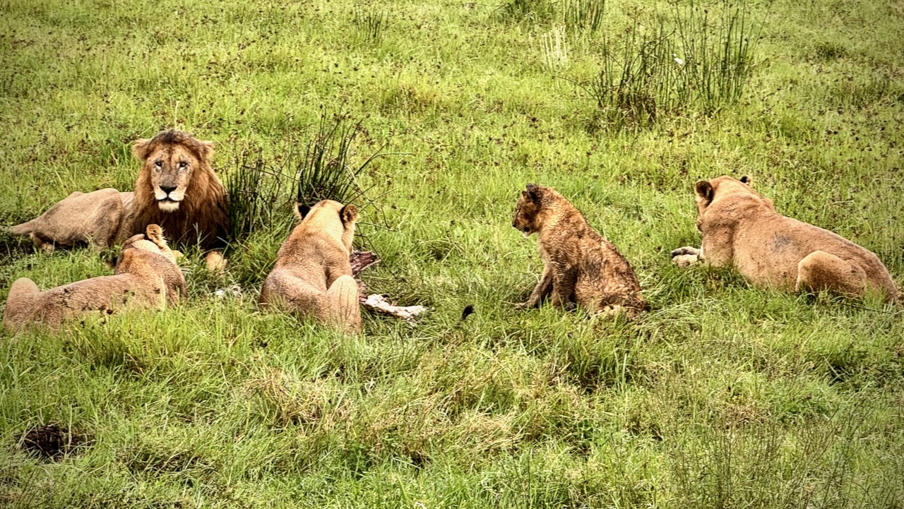
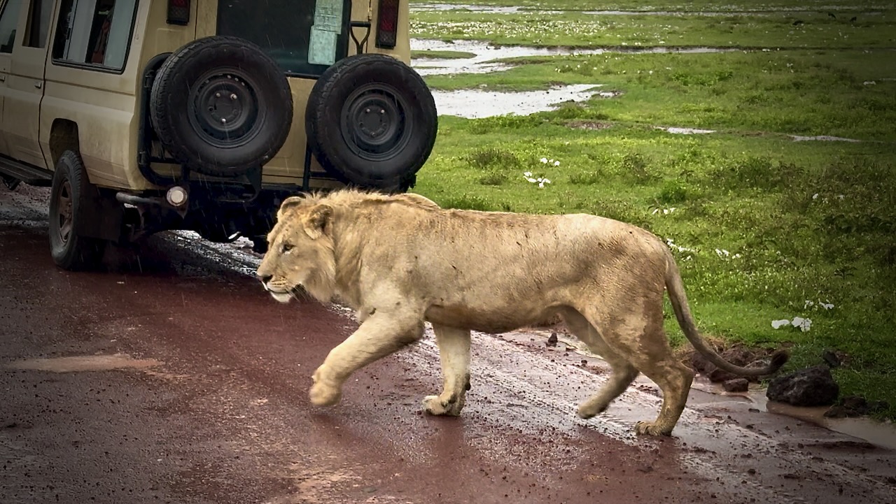
Lions are stars of the show here, often resting suspiciously close to roads. 😀
These three cubs were playful.
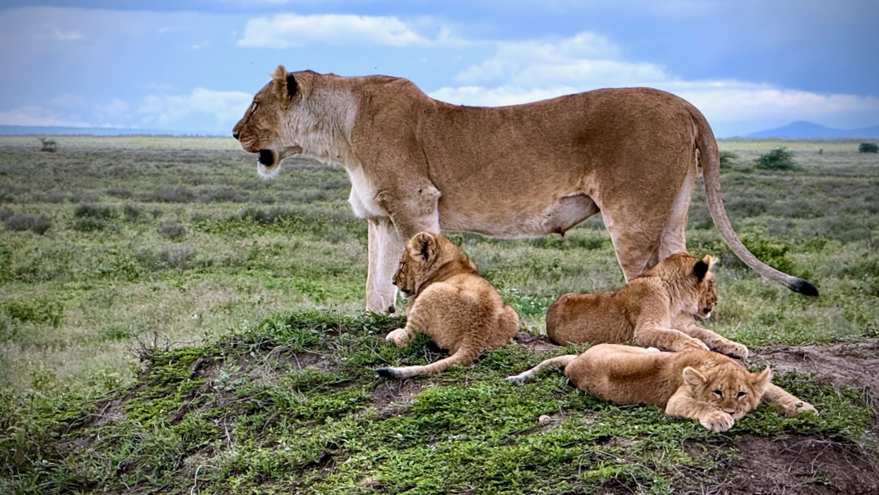
Predators seem to have easy pickings of the sick, old, and very young.
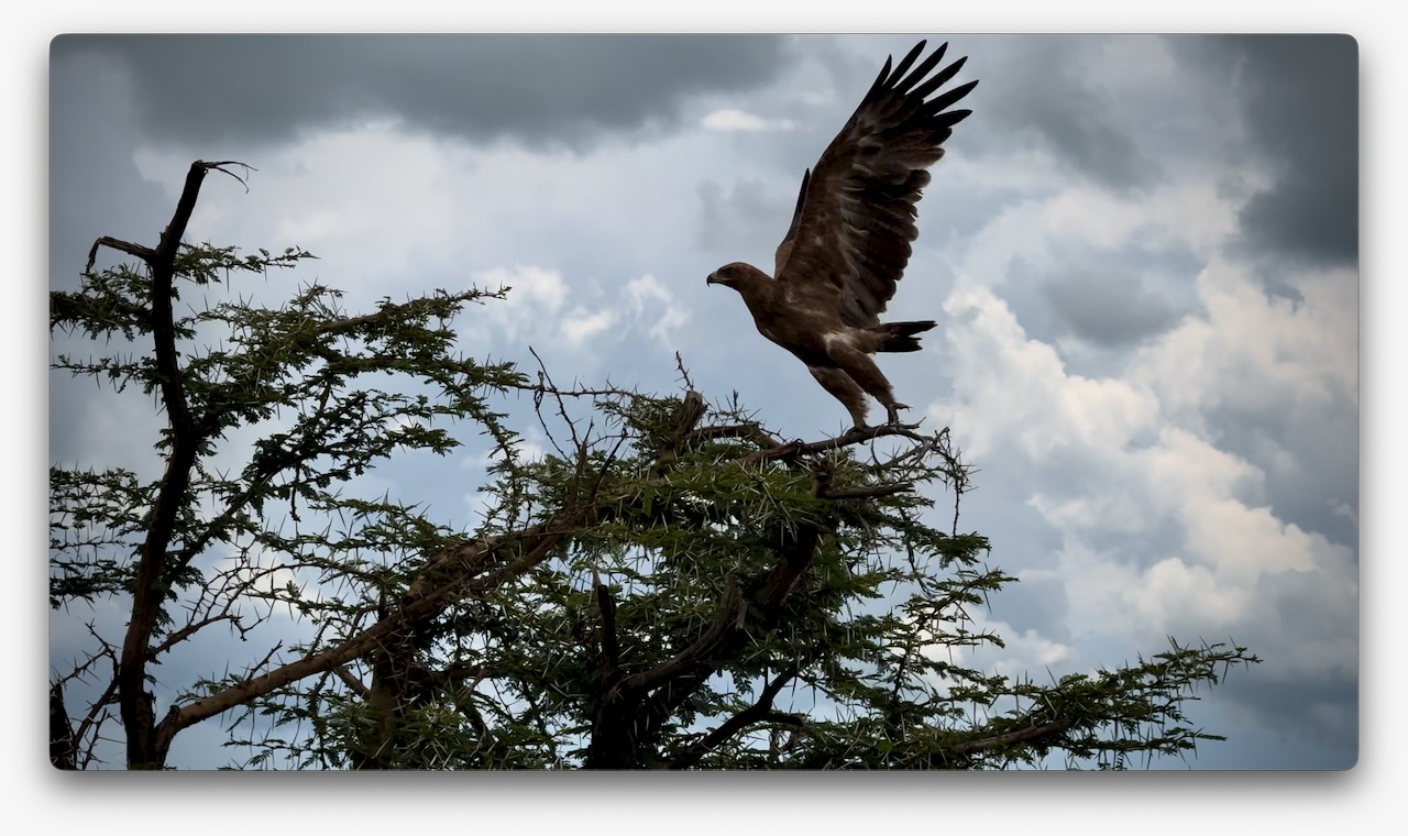
I wished I was a birder as my life list would have grown by about 100 a day here. Many species are very large.
In the afternoon, we drove to a campground in Ngorongoro.
This one had electricity and very good hot showers.
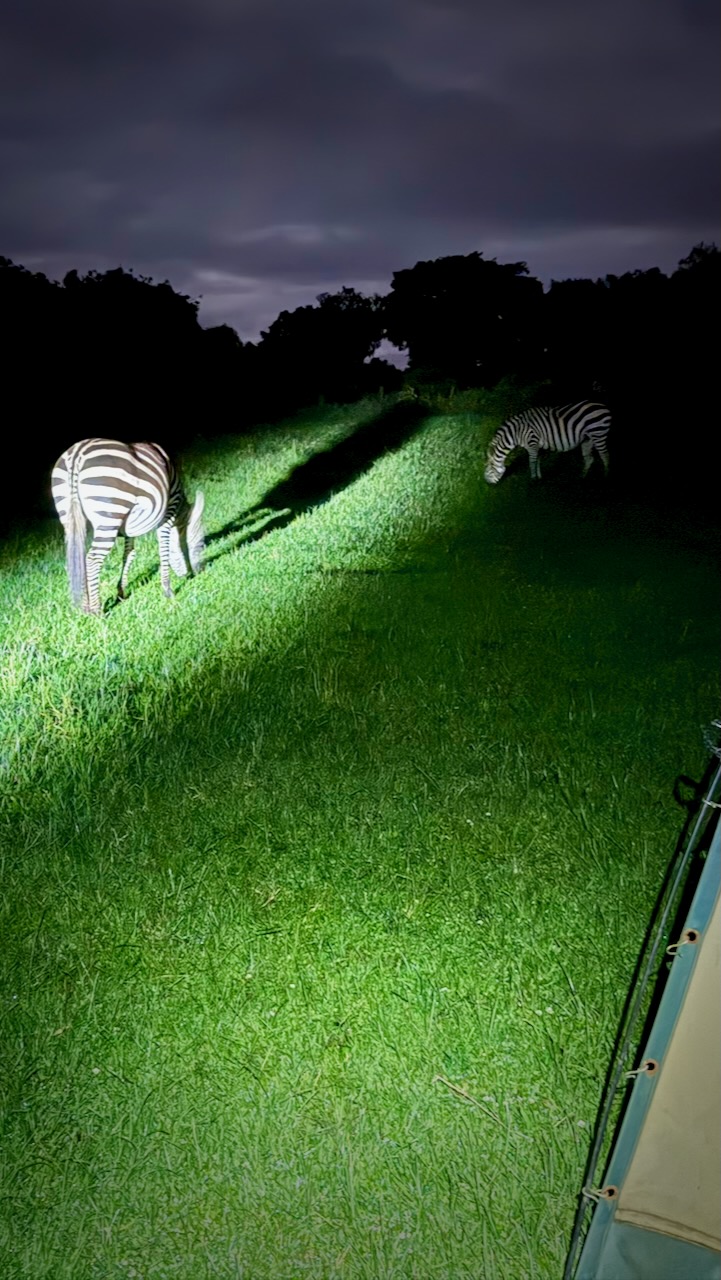
As foretold, we had zebra grazing between our tents.
Two ladies from my group got up to pee in the middle of the night. They found themselves only a few metres from Buffalo — one of the dangerous Big 5.
DAY 4
Touring Ngorongoro Conservation Area volcanic caldera in the early morning.
We awoke to heavy rain. It seems the “long rains” from March to May have just begun.
Early start dropping down into the crater.
Predators were still working on their kills from the previous night. It seems young zebra are the dinner of choice for most.
These hyenas were almost finished with their kill. A jackal was sneaking in to get quick bites, when it could.

Why did the Wildebeest cross the road.
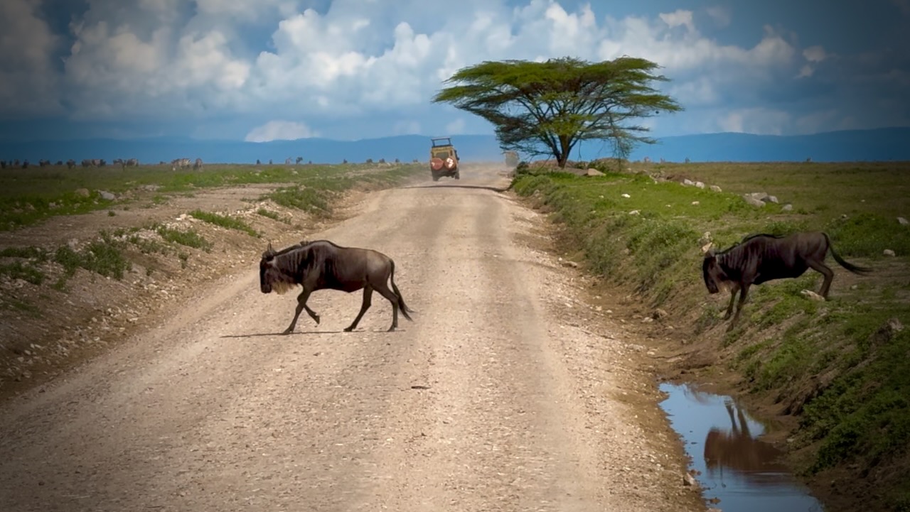
Animals migrate for grazing and water sources. Predators follow.
There was plenty of water in the crater while we were there. Flamingos a highlight.
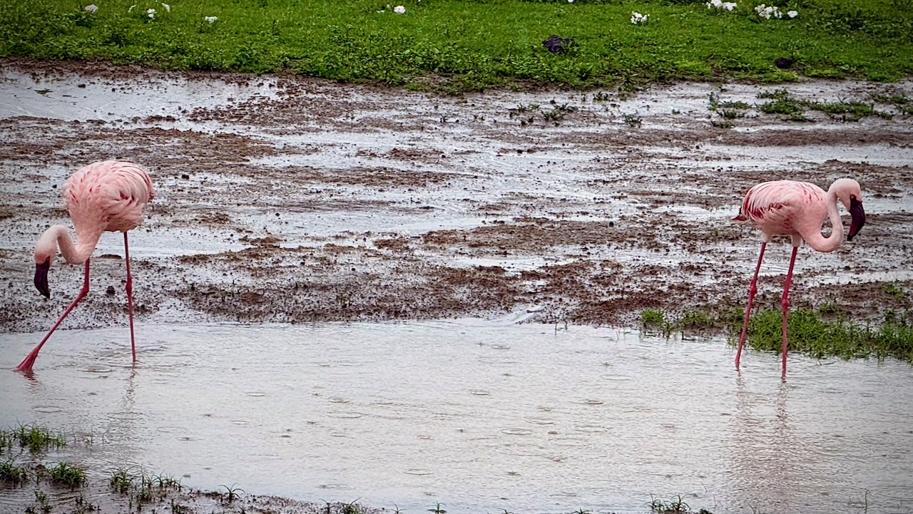
Water birds of all species eat well here.
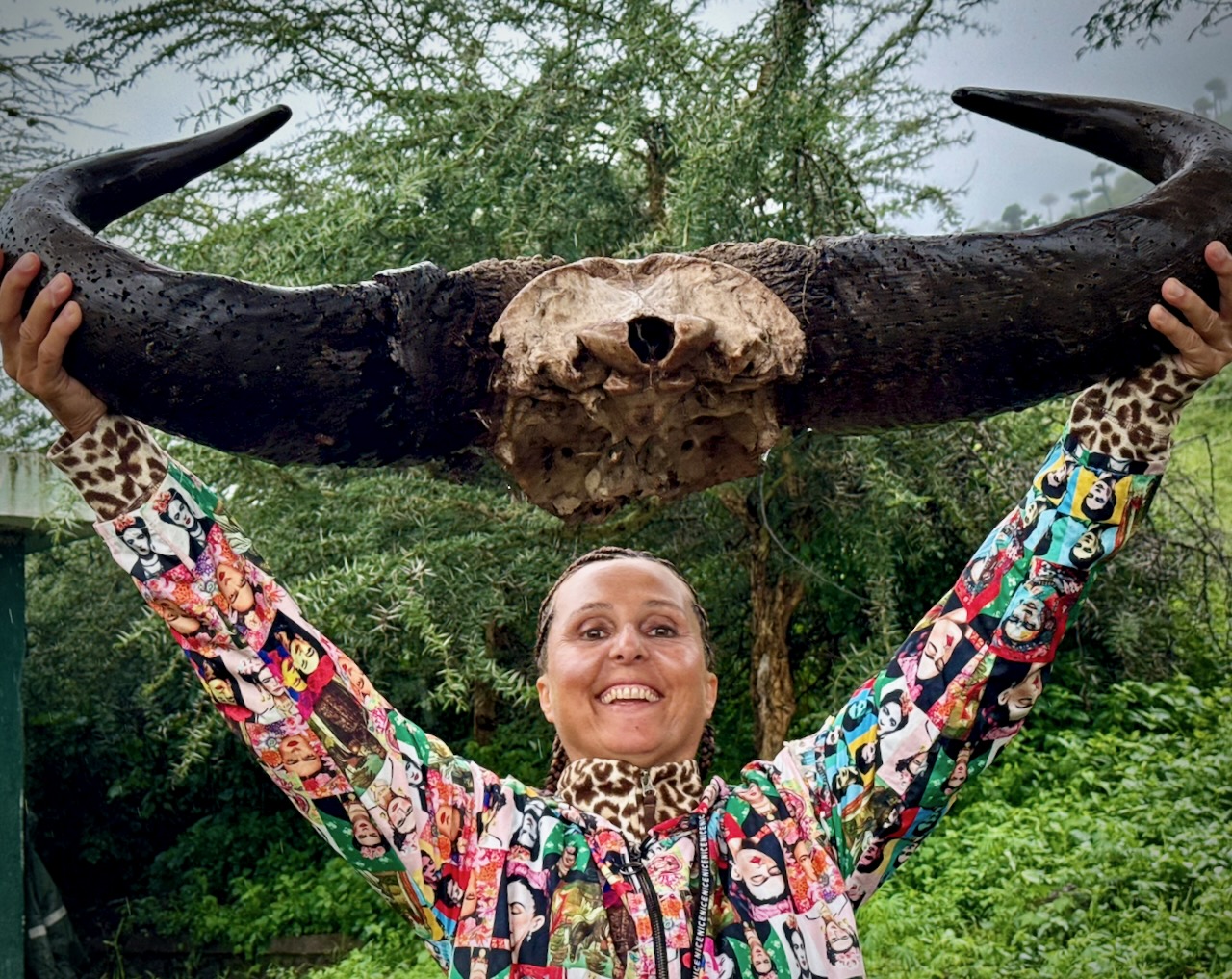
Everyone enjoys the safari experience.
Needing to drop off 2 of our group of 5, we drove all the way back to the Mosquito River hotel. This means I actually spent 2 of the 4 nights in a comfortable hotel, even though I’d signed up for camping. 😀
DAY 5
Touring Lake Manyara National Park. Back to Arusha.
Last day we had only 2 of our original five signed on for the 5th day.
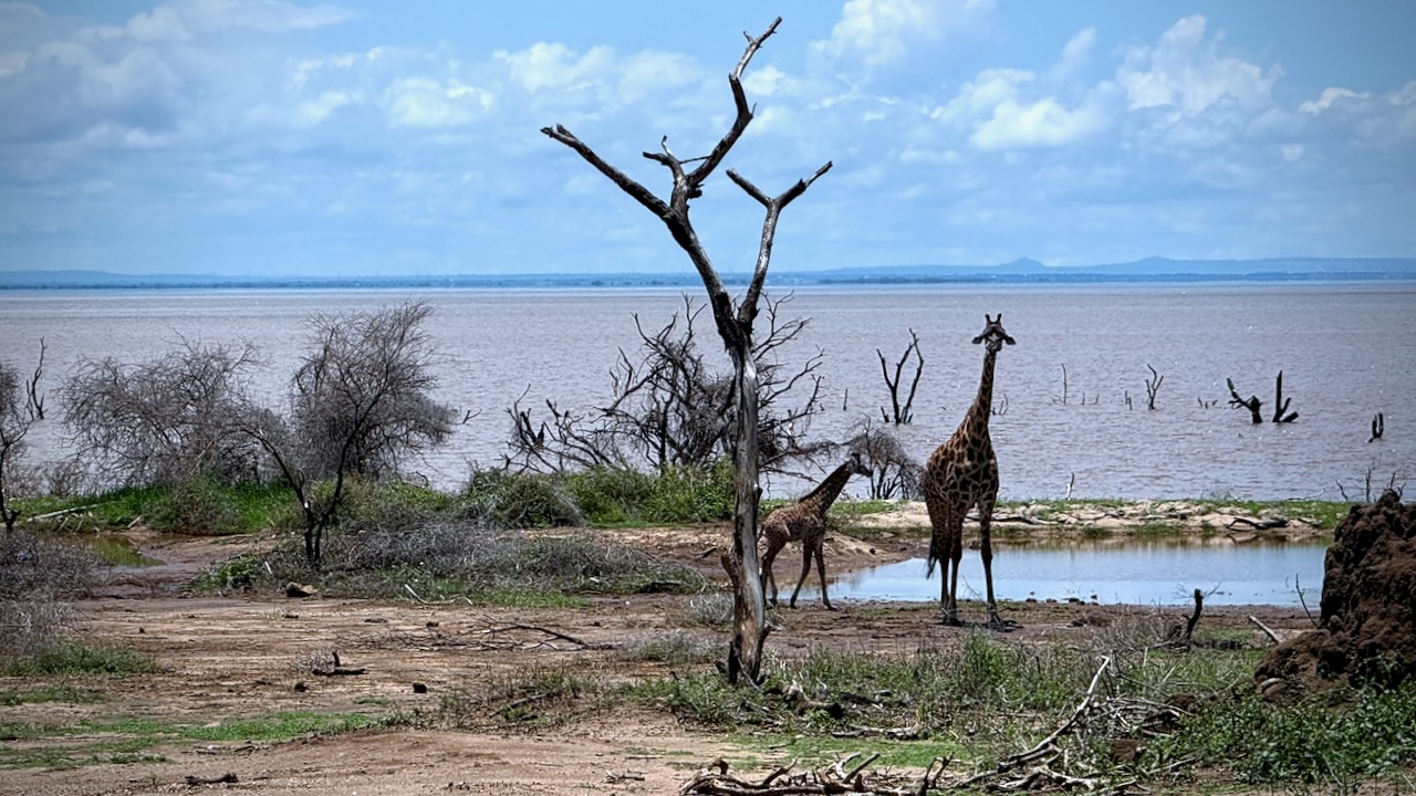
Manyara was better than expected. A small, well-maintained park alongside a muddy Lake.
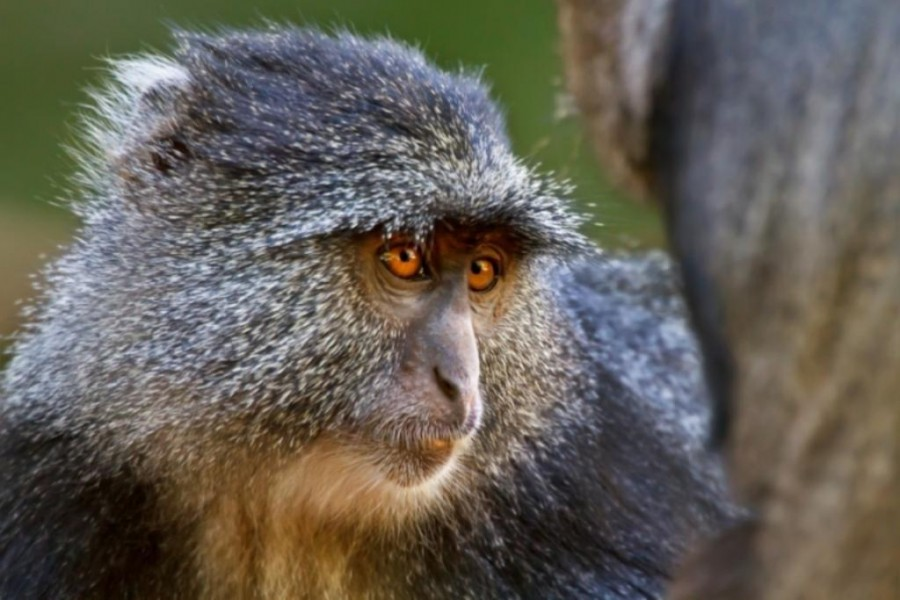
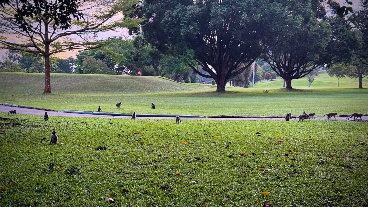
We’d not seen many baboons nor monkeys over the previous 4 days. Made up for it here. We saw thousands of entertaining baboons playing, fighting, chasing, grooming.
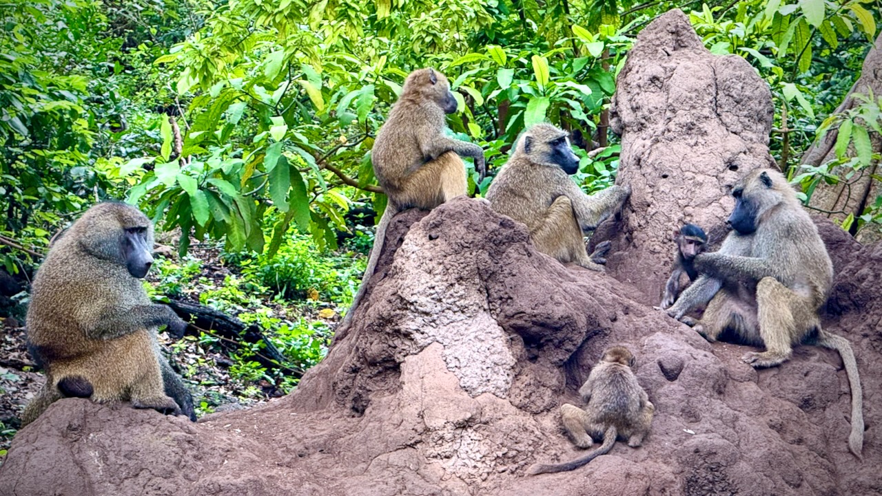
Plenty of Blue monkeys. And Blackface (Vervet) monkeys, as well. The different species seem to cooperate well.
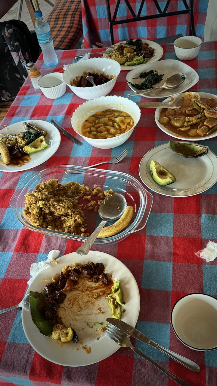
Back to the hotel for one last lunch from Tony.
His best yet.
And then the 3 hour drive back to Arusha. Our safari ended.
TIPS
It’s confusing to decide on which company to go with. Certainly you’ll be in the same Toyota LandCruiser, on the same bumpy roads, seeing exactly the same animals with most.
The only one that caught my eye for the camping option is Suricata Safaris.
Prices go way up from $200 / day depending on where you sleep each night. Luxury lodges are available. Budget about 10% for tips. And about 10% for unexpected charges.
Private bookings are more expensive, as well.
Though I did 5 days, 4 nights — optimal, I’m thinking, is 4 days, 3 nights. You’ll probably miss Lake Manyara National Park if you do this.
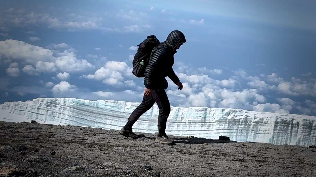
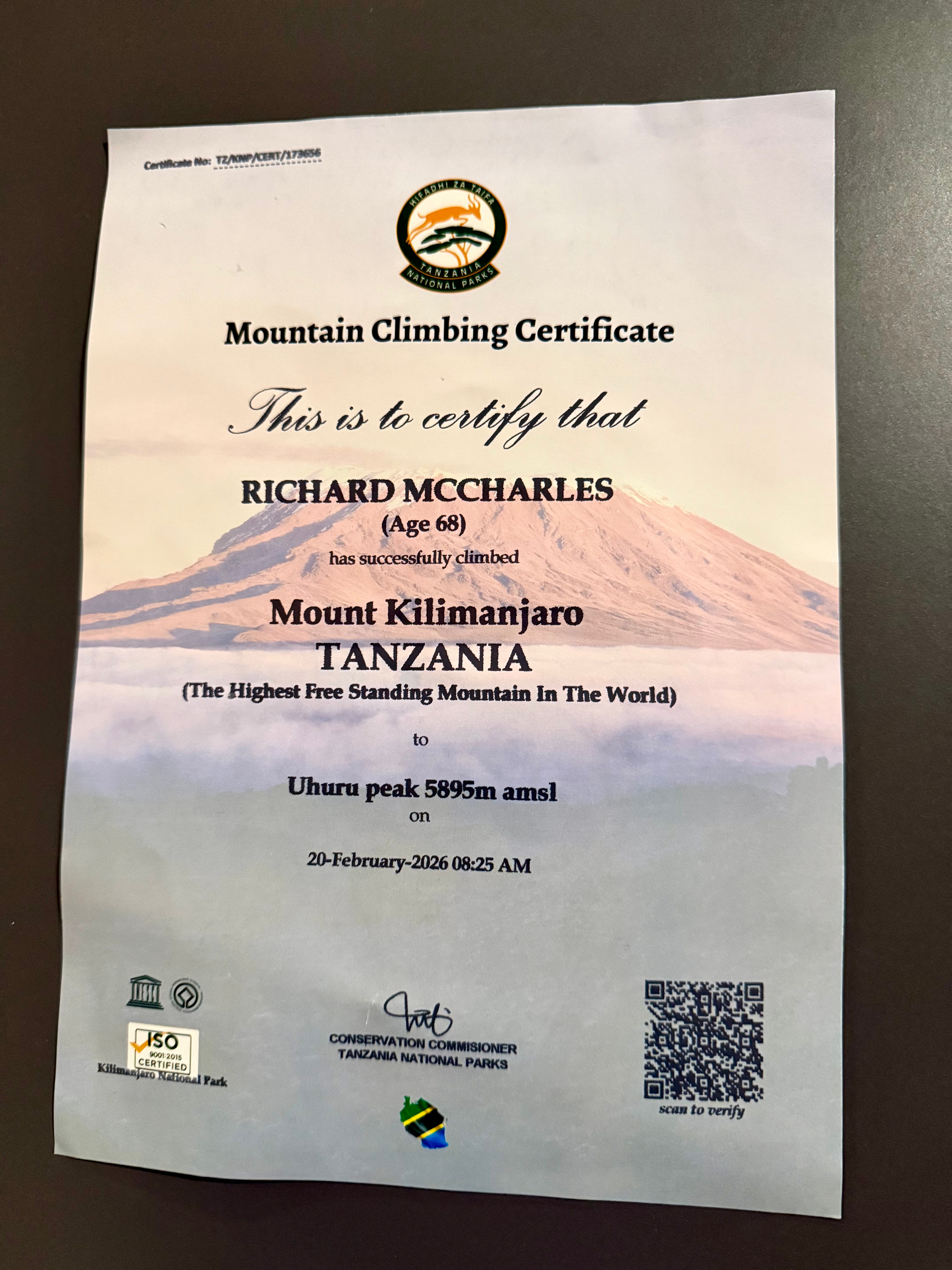
My iPhone 16 Pro was perfect for climbing Kilimanjaro. But it’s a frustrating, crappy option for safari. I constantly wanted more optical zoom. Bring an excellent camera on a short tripod, if you can. Also binoculars.
My only other safari was Addo Elephant Park, South Africa, in 2013. Excellent. My guide provided a checklist of animals and birds we might see ➙ and it was super fun to fill that checklist during the day. I wished I had something similar here.
Power failures are a near daily occurrence in Tanzania. Bring power banks to recharge your electronic devices.
Wifi is slow and inconsistent here. Best get phone data which works quite well.
Many tourists are over-charged. Some cheated. We had a driver for a day who claimed I had shortchanged him $40. I hadn’t. But rather than argue I gave him an extra $20 — and reported to his employer.
Worst story I heard in person was a tourist landing in Zanzibar at 3am who was stopped by two supposed police. They took his passport. Two hours later he bribed them $200 to get his passport back.
Most of the worst stories I heard were in Zanzibar.
BEST is to have transportation from airports arranged in advance with your accommodation.
Second best is to download the ride sharing Bolt app. It worked well for me.
Arguing with taxi drivers is the worst option.
Intercity buses can be OK — but driving is slow in East Africa. Short flights a better option.
Message me if you have any questions.


