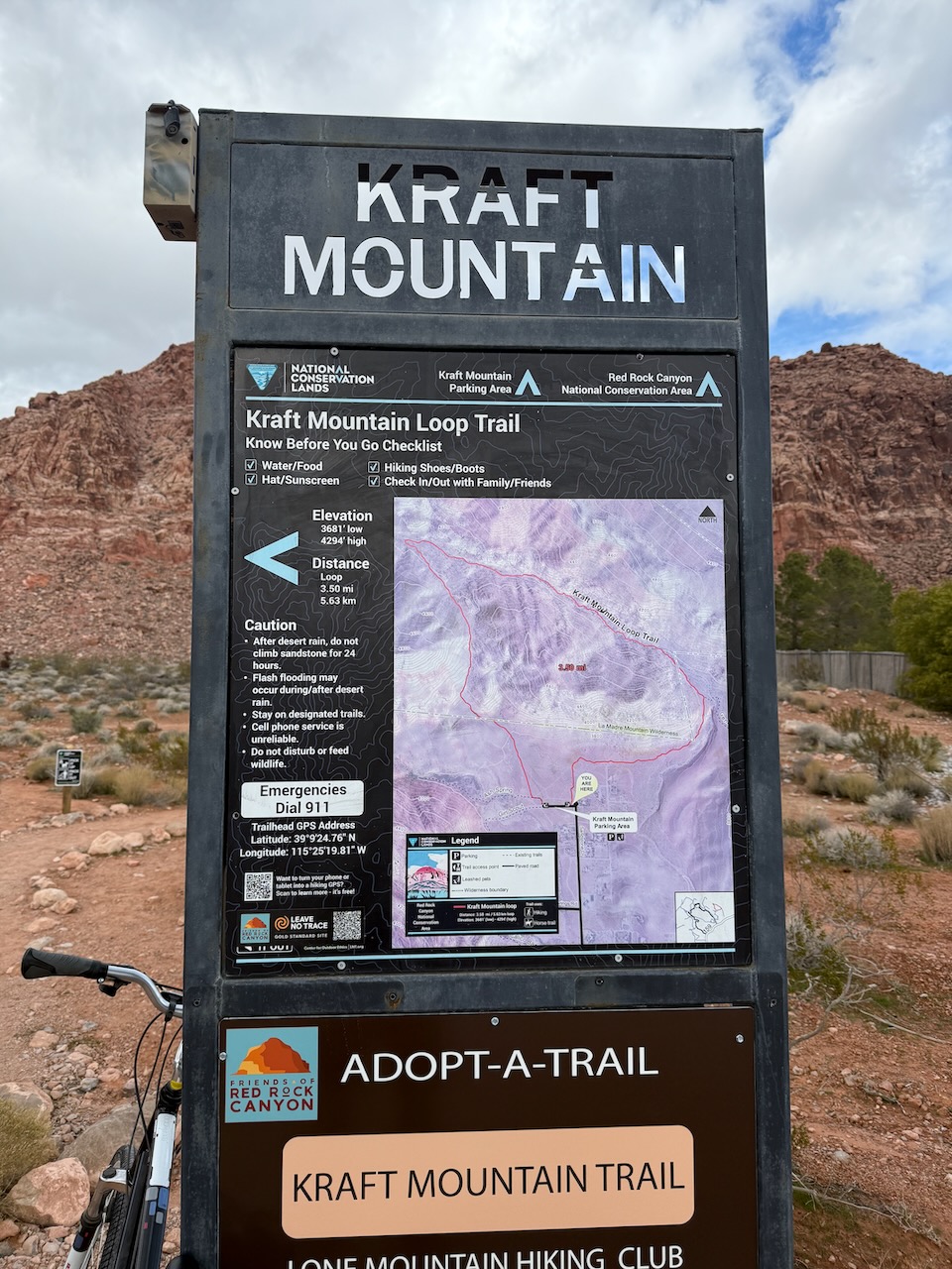
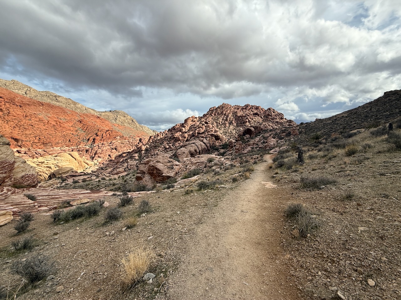
Some call it the ‘best free hike out of Las Vegas‘. I’d agree.
No need to pay entry to Red Rock Canyon, this adventure is right next door ➙ out of Calico Basin. Free entry. Free parking.
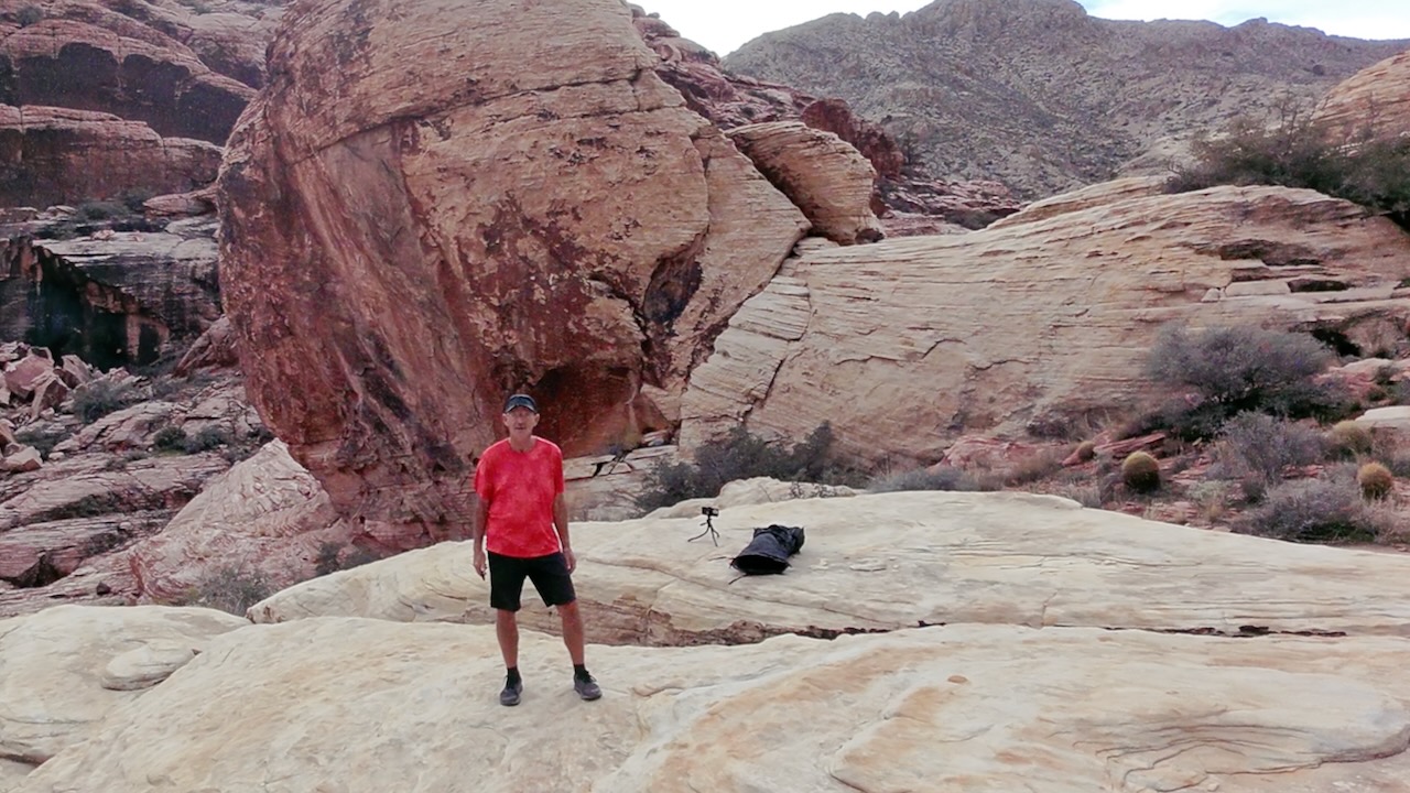
On a cool day in April, I did the the 6.9 km (4.2 mi) Kraft Mountain & Calico Hills Loop. With side trips and additional scrambles, it was longer for me.
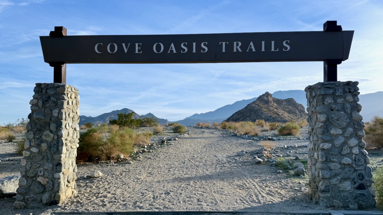
• 3 mile loop • Moderate | Gain 760 feet • Palm Desert, CA | Southwest US
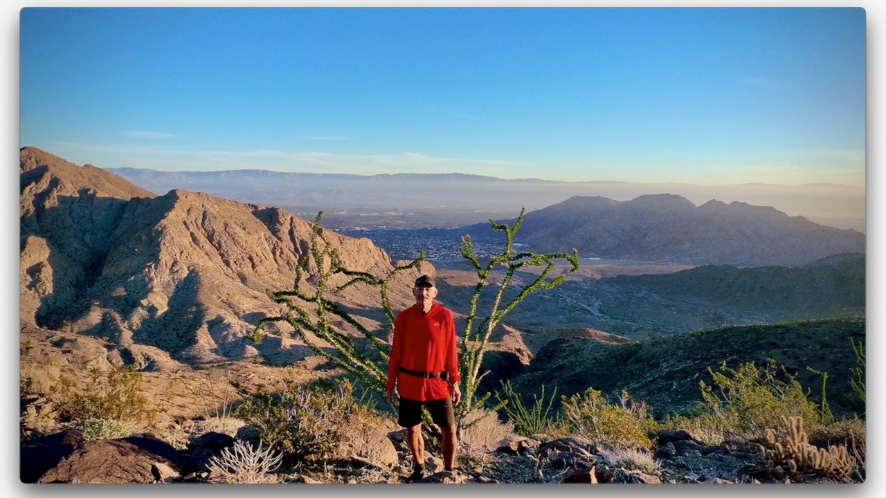
The Bump & Grind Trail delivers exactly on its name with an undulating mountainside ascent which thankfully eventually leads into a gentler return journey. This 3-mile loop sits on the hillside above Palm Desert, California providing elevated views over a desert expanse which abuts dramatically against a sprawling suburbia. …
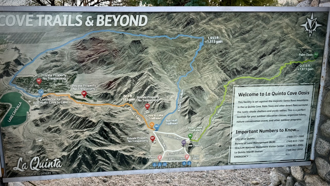
There are plenty of walking options. I found the unsigned trail heading towards “Palm Oasis” using AllTrails offline.
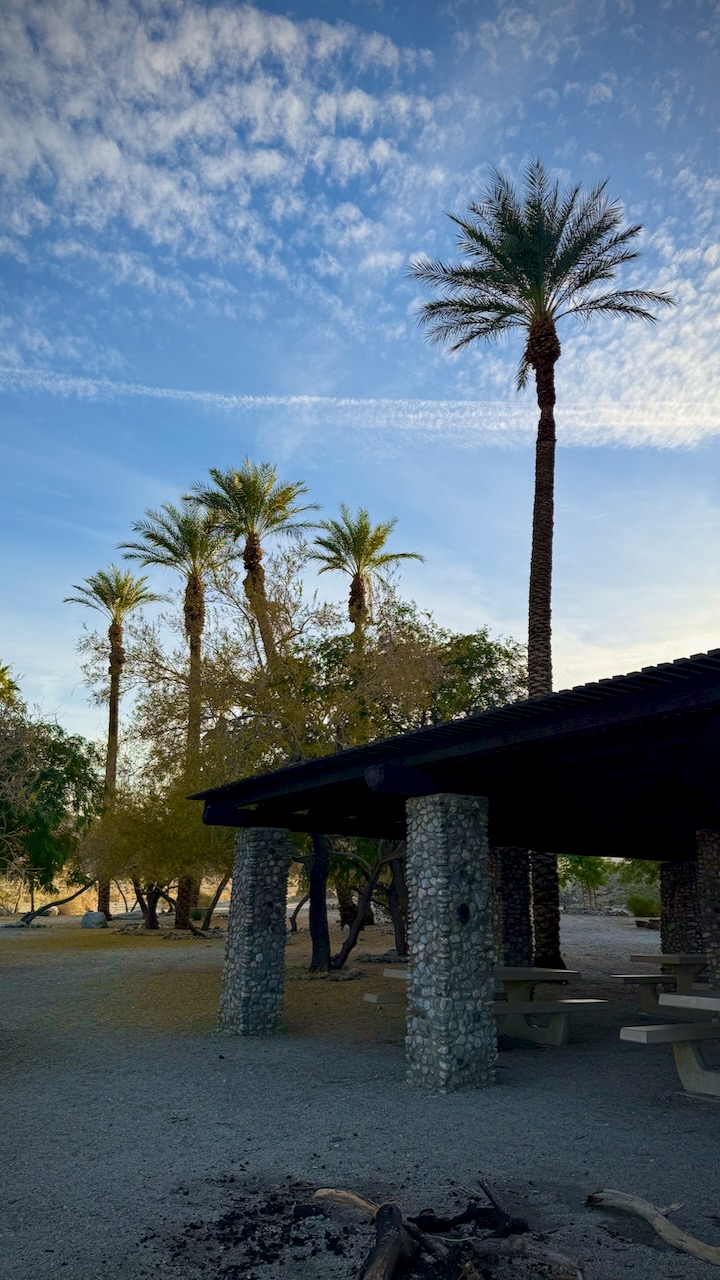
There’s a nice picnic area near the start. No dogs allowed past this point.
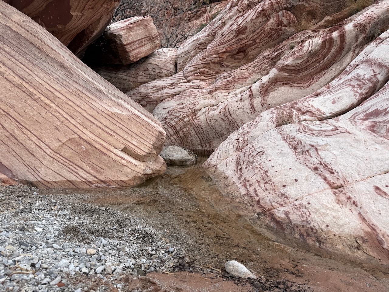
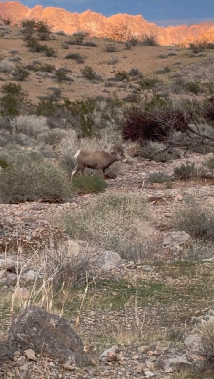
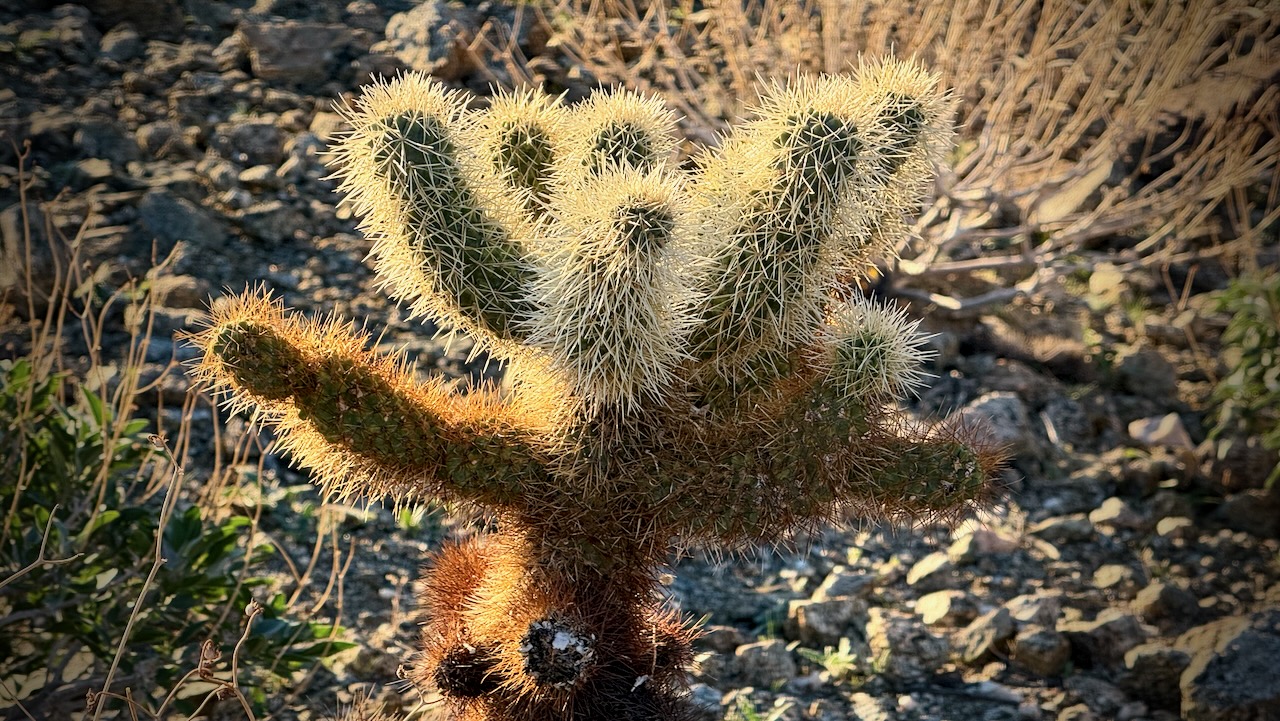
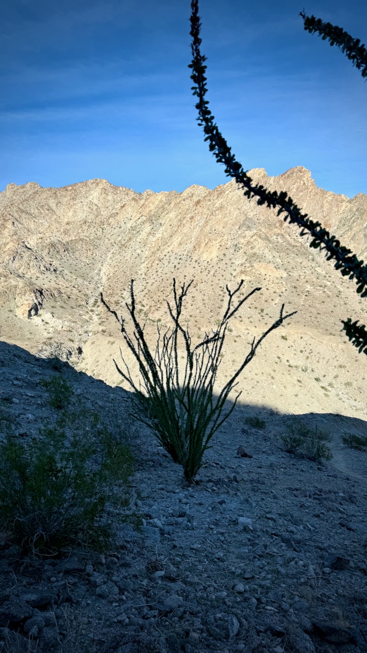
All of the hiking in this area is good. But there are very few birds, reptiles, animals, or insects.
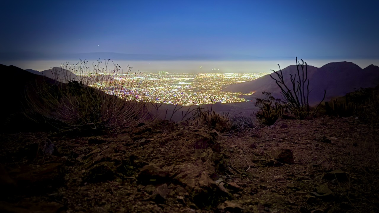
When it got dark, I looked for a sandy spot to set up my tent with a view over the town.
A very quiet night.
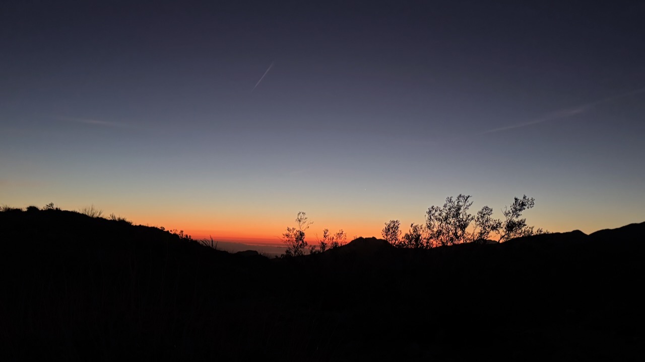
I used the iPhone 16 Pro Night Mode in RAW (ProRAW) for enhanced low-light detail. This sky photo looks much better than what I could see with the naked eye.
Dawn next morning woke me.
It was bright by 6am.
Early Sunday morning, hikers passed before 7am. Followed soon after by trail runners. This is a good trail to get some vertical. 708m elevation gain if you do the entire 15km return.
I climbed a little higher — then headed down for breakfast and coffee.
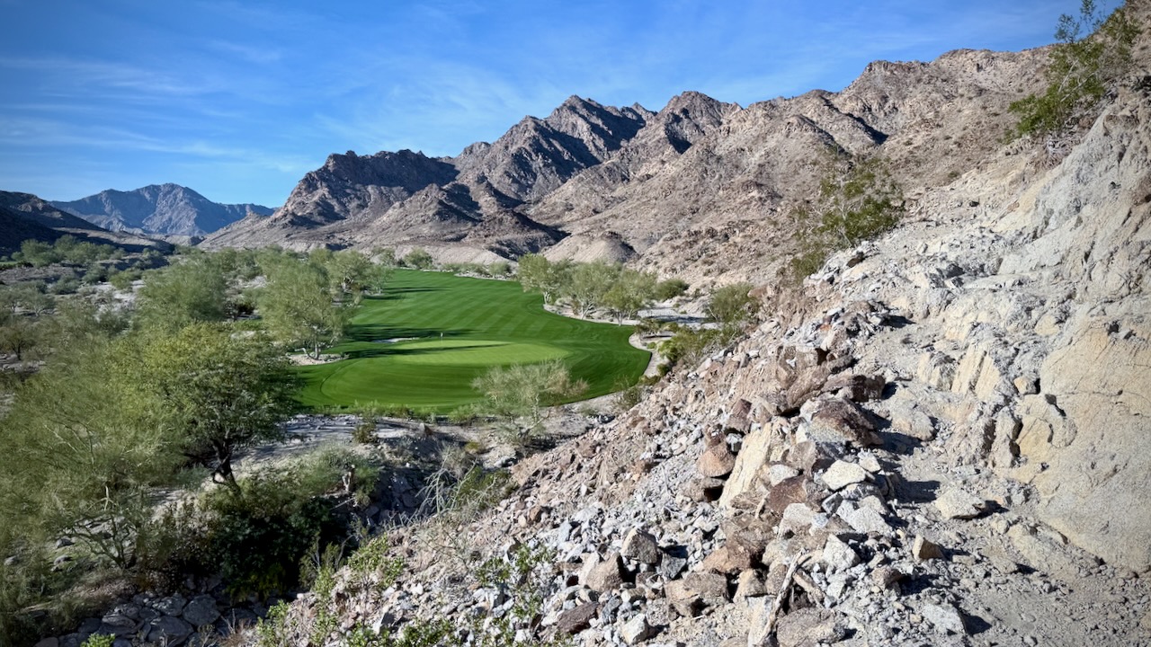
Bleak Lake Cahuilla is interesting. But I actually couldn’t see it from anywhere on the trail. There is an entrance fee to get into this Regional Park.
Don’t say you haven’t been warned.
Quite quickly from the lake start you climb above a couple of golf holes.
One surprise highlight is this wild horse sculpture en route.
Planning a multi-day adventure in Death Valley? While the desert terrain may look intriguing, it requires serious preparation to spend an extended amount of time here. No matter where you hike – but especially in a place as extreme as Death Valley – your gear and equipment can make the difference between a thrilling trip and a more unpleasant ordeal.
To help you make the most of your trip, here are the essential items you’ll want to pack.
Water, food and cooking items
It goes without saying that the park can get extremely hot – summer temperatures often reach around 120 degrees Fahrenheit. Death Valley is called Death Valley for a reason, and you don’t want to be stuck without water in this vast expanse of desert terrain. Therefore, make sure you have an ample supply – it’s recommended that you plan for several litres per day.
Likewise, food is a necessity, and you’ll need to make sure you’re consuming nutritious meals to sustain your energy. Pack high-protein snacks, meals, and equipment to cook or prepare them if needed. It’s also a good idea to include waste bags and utensils if you plan to cook.
Shelter supplies
A multi-day hike means finding somewhere to stay overnight. A specialised tent or other shelter is essential, and it should both keep you cool during the heat of the day and warm at night – despite what you may think, the desert can get very cold when the sun goes down. Make sure you also have a good quality sleeping bag and sleeping pad.
This Original Travel guideshares some of the park’s best campgrounds, with entrance fees included so you can budget for your trip. While straying off the beaten path may feel like an adventure, it’s best to stick to designated campgrounds for your personal safety – and to protect the landscape around you.
Climate-appropriate clothing
It can be tricky to plan outfits that are both cool enough for the daytime and warm enough for nighttime – as well as being comfortable and appropriate for hiking. In addition to everyday clothing items, it’s a good idea to bring layers and accessories such as:
Wicking base layer and insulating mid layer
Outer shell/wind jacket
Broken-in, comfortable hiking shoes and socks
A wide-brimmed hat and a beanie
High-quality sunglasses with full UV protection
Don’t forget a good backpack that can carry everything you need. It should be durable and waterproof, to keep your belongings safe no matter the weather.
Navigation and emergency gear
While it’s unlikely that you’ll find yourself in an emergency situation, it’s always best to be prepared for the unexpected. Particularly in a place as harsh as Death Valley, where you may find yourself miles away from help should you need it, it’s important to have the essentials to hand.
Bring a map and a compass, and consider a GPS device – it can be easy to get lost, particularly on backcountry routes which can be remote and tricky to navigate. You should also always carry a first aid kit, a torch with batteries, and basic repair tools. Above all else, always let somebody you trust know where you are – even if that just means sharing a general plan before you leave and keeping in touch each day.
Once you’ve got the basics taken care of, all that’s left is to plan your route and enjoy the park. If in doubt, always pack extra and stick to established routes – there’s so many stunning sights to see, and you don’t have to venture off into the unknown to have a wonderful time.
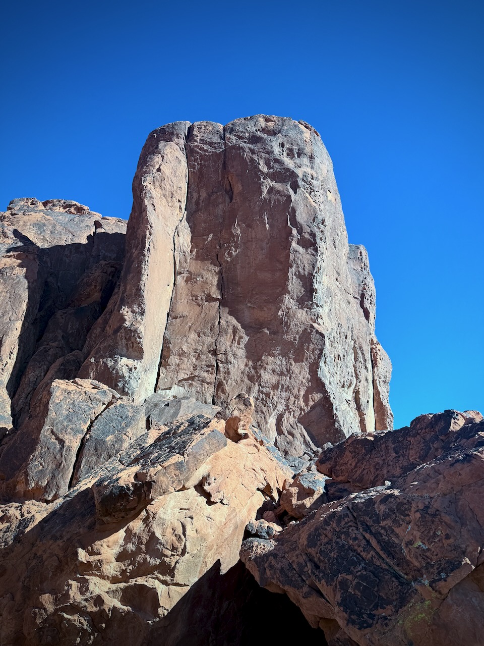
Capitol Reef, Zion, Bryce, the Grand Canyon, Monument Valley, Glen Canyon, White Sands National Monument, Canyonlands and Arches National Parks. This part of the world is awesome.
We hike the SW USA every year and have yet to be disappointed.
Fascinating, diverse and mind-boggling. The best WOW geological zone we’ve seen anywhere.
The high desert plateau intersection of the four U.S. states of Utah, Colorado, New Mexico, and Arizona.
The Grand Canyon of the Colorado Plateau is not the deepest nor largest, but it’s by far the most stunningly beautiful on Earth.
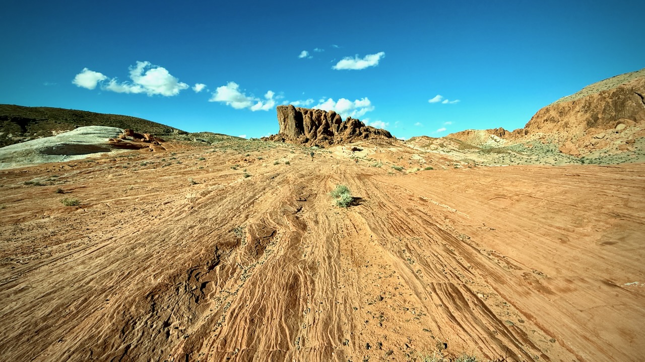
Most of the best slot canyons and natural stone arches in the world are here. A desert, your views are unobstructed. The light is perfect for photography.
The best weather is Oct-Nov, Mar-May. Summers are too hot for most hikers.
Most of the hikes in the Four Corners are short due to lack of water and the real risk of getting lost. People die in this wilderness every year.
Our favourite hike in the Four Corners region is Paria Canyon on the border of Arizona and Utah. You enjoy many days beneath huge walls in a slot canyon.