Day 0 | Landmannalaugar | 1 | 2 | 3 | video | info
Stuck in Landmannalaugar
Though it had rained all night off and on, it hadn’t rained hard. I was optimistic poking my head outside the tent in the morning.
No go.
Recommendation from the information office was that we should stay in camp another night. Forecast for the following day was “improving“.
Sigh …
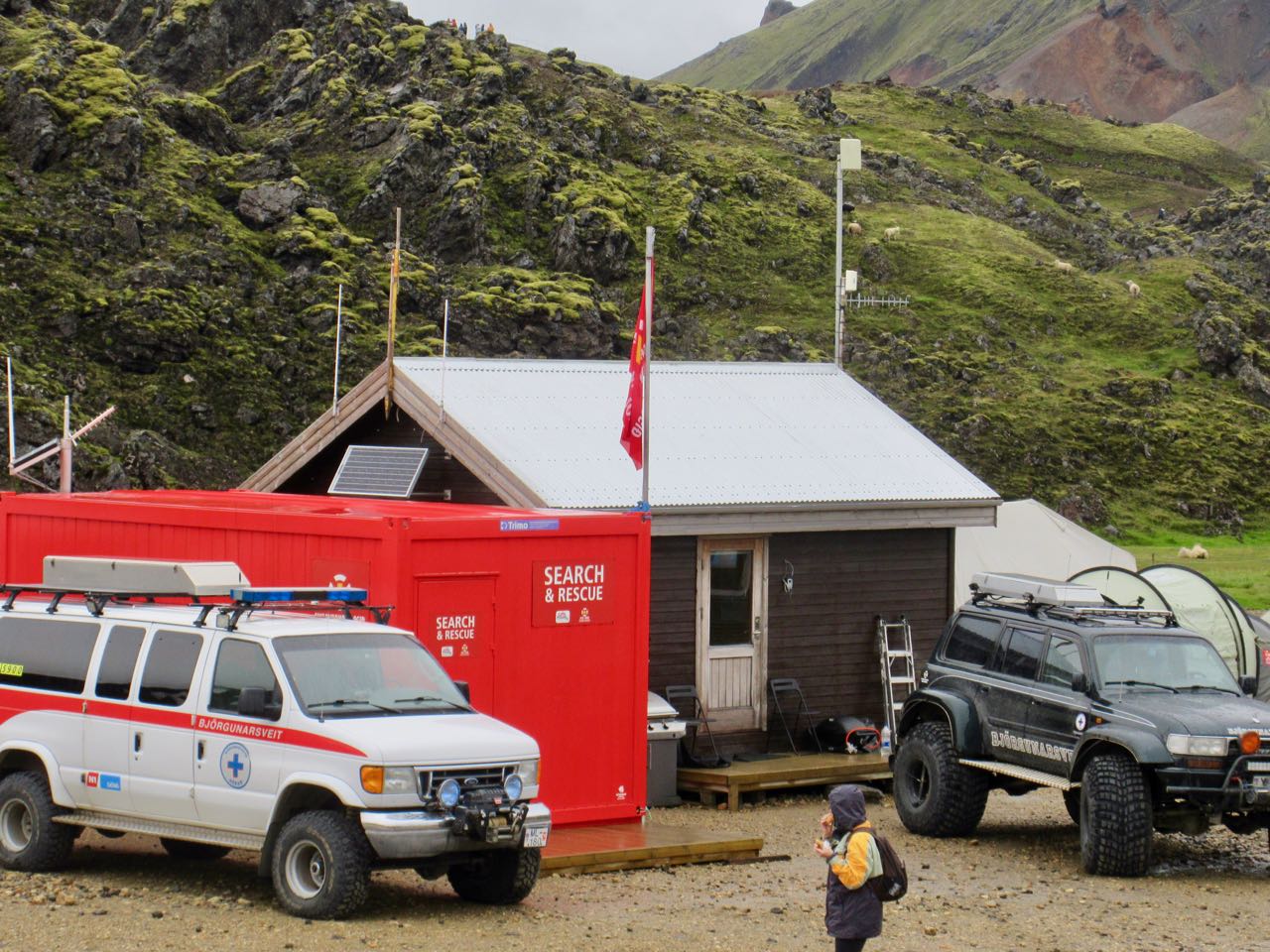
A hiker recently died on this section during a big storm.
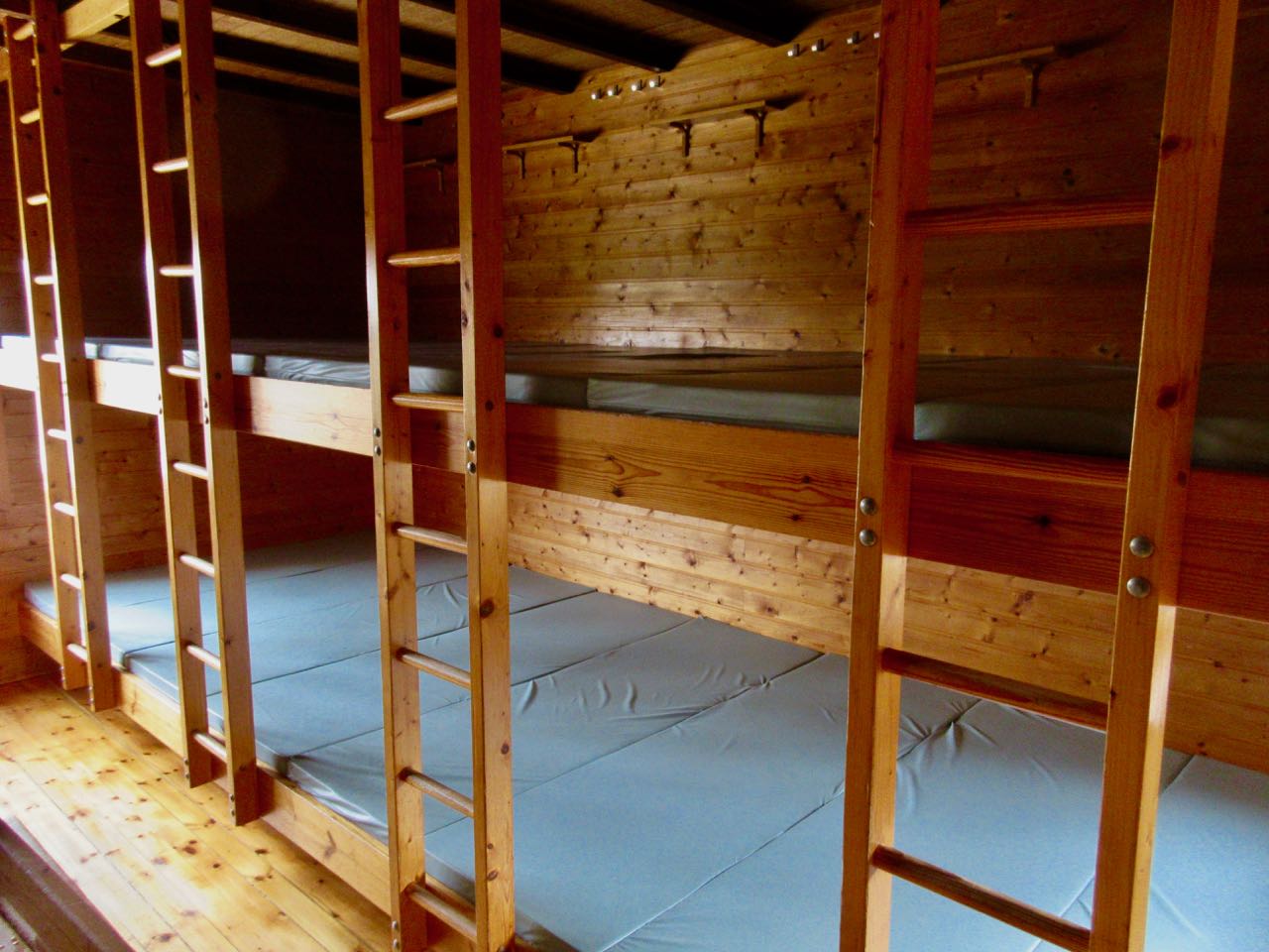
I did grab a cancellation for a spot in the 110 bed tourist hut operated by Ferdafelag Islands. (Others had booked at least 6 months in advance.)
In fact, I got in early and had my pick. Farthest from the door, against the wall. It cost $90 – no meals. The most expensive bunkbed of my life. Tenting is $20 / person.
Landmannalaugar tent city was packed.
Many — including me — heeded the advice that we should stay. As day hikers rolled in it got more and more crowded.
At the time I trusted the advice. They know a lot about alpine rescue here.
So … a lazy day to read my book. Take a nap. And, of course, do the rest of the local day hikes.
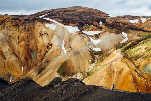
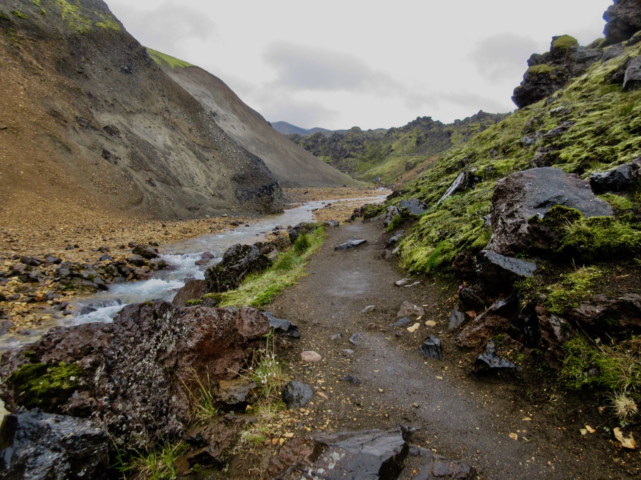
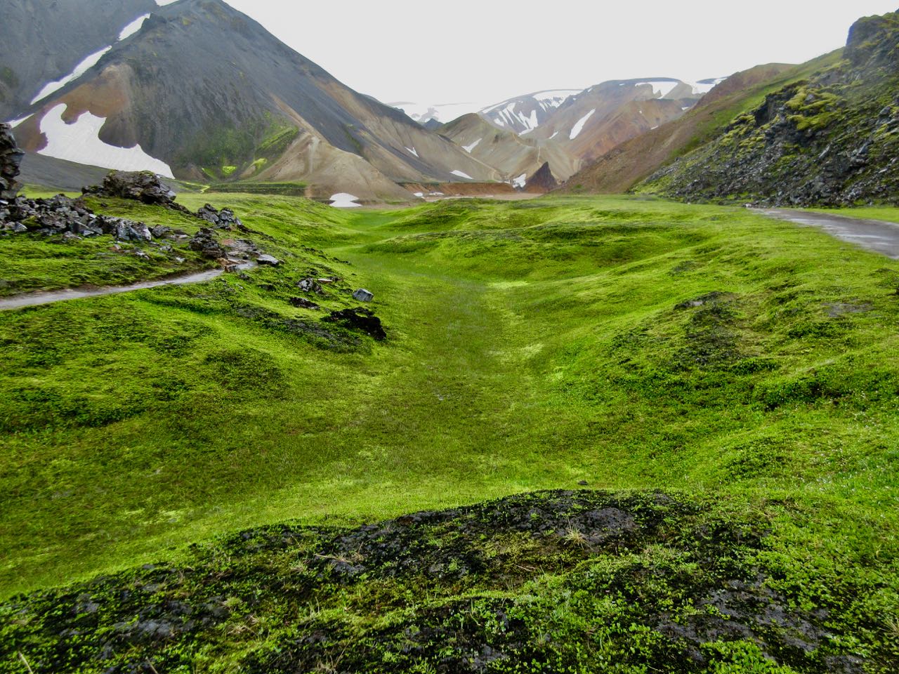
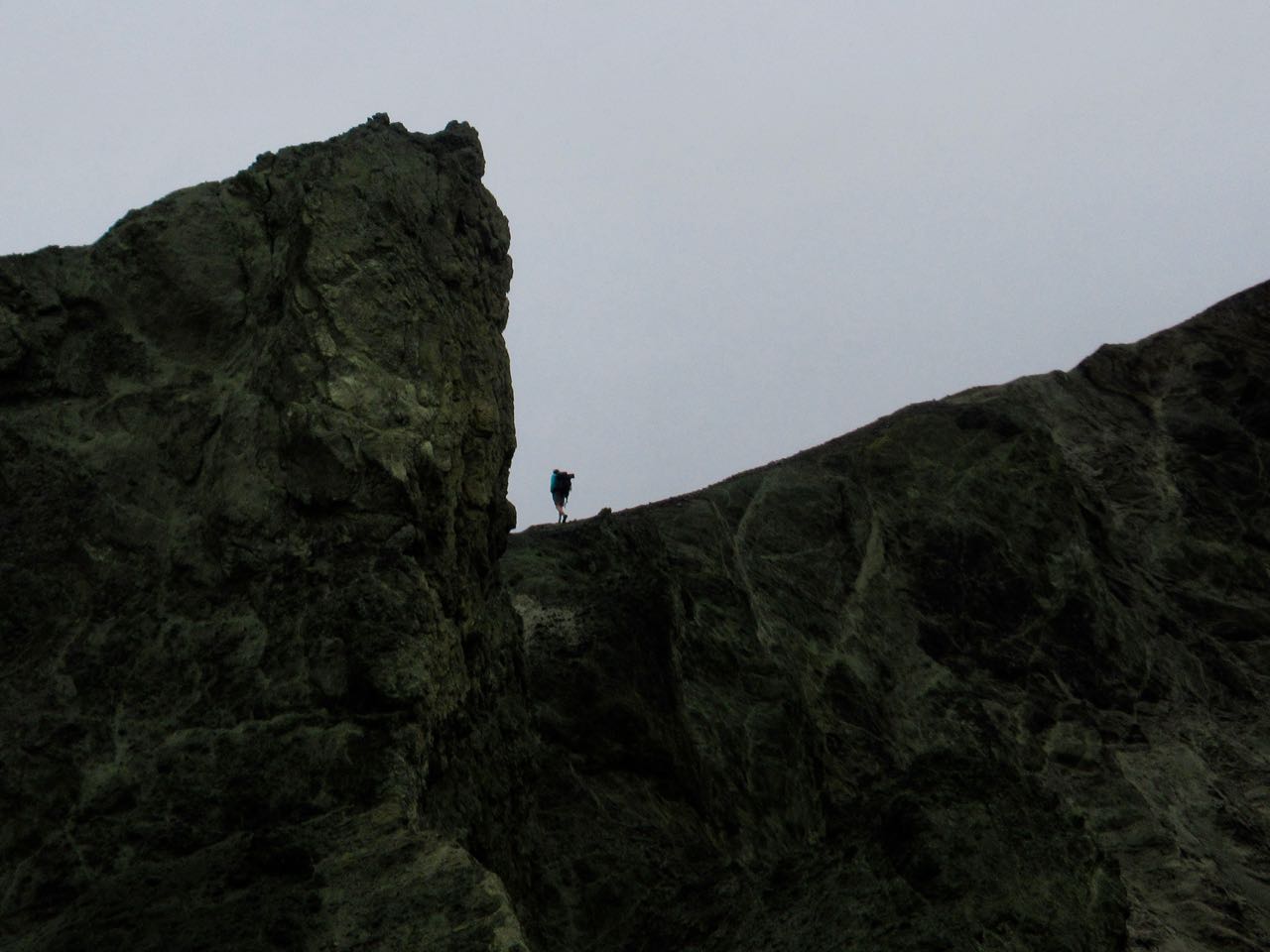
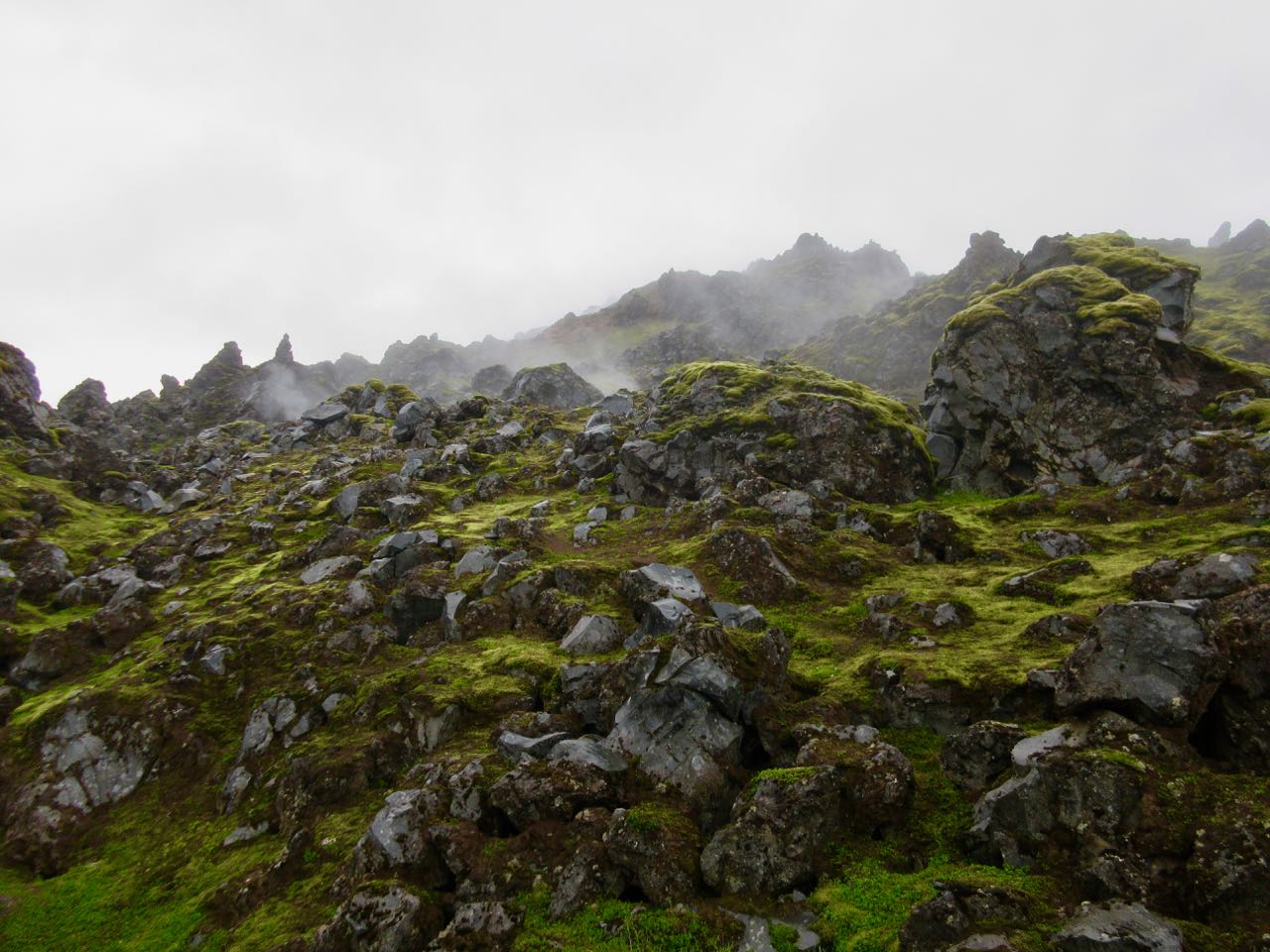
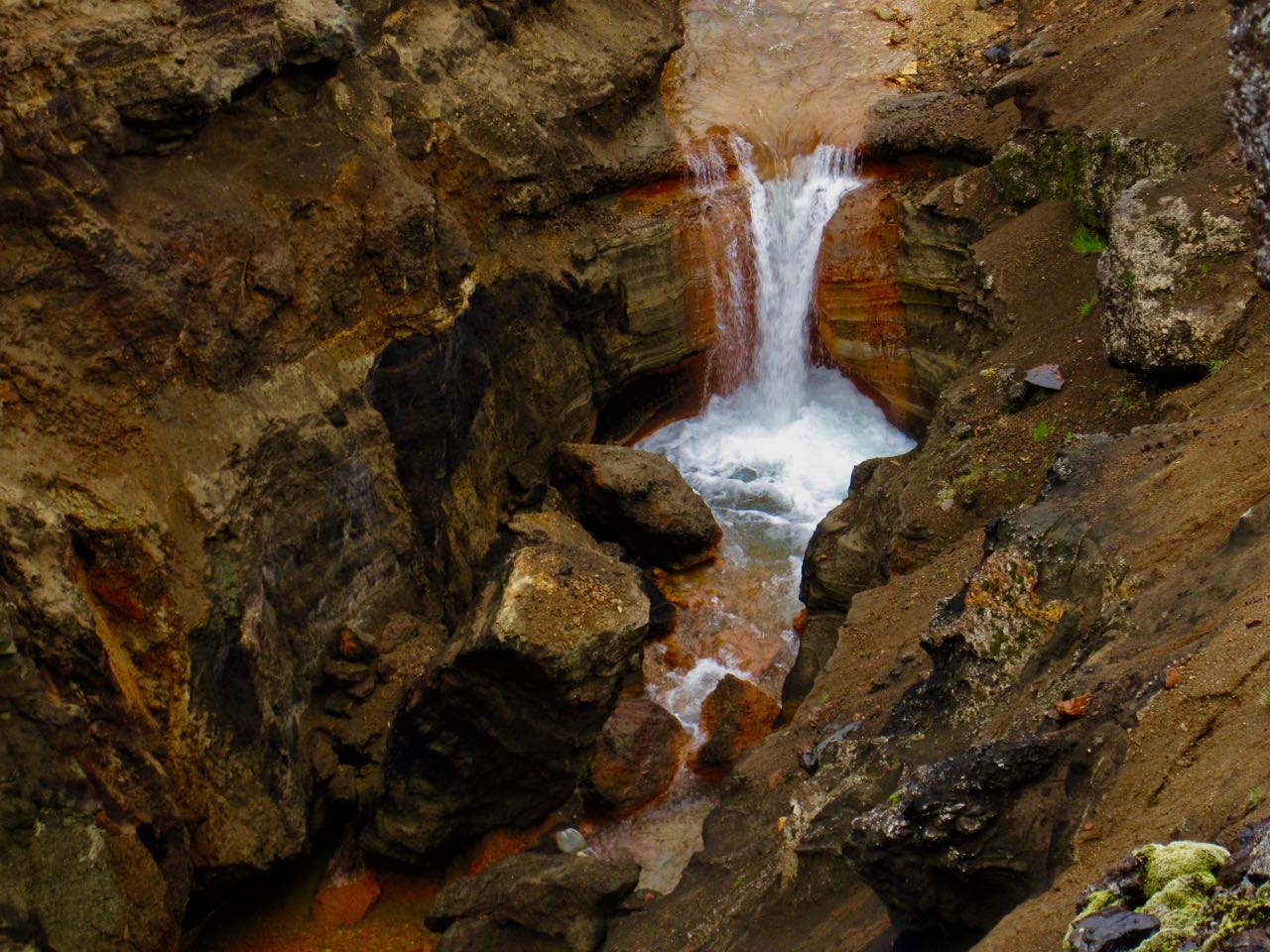
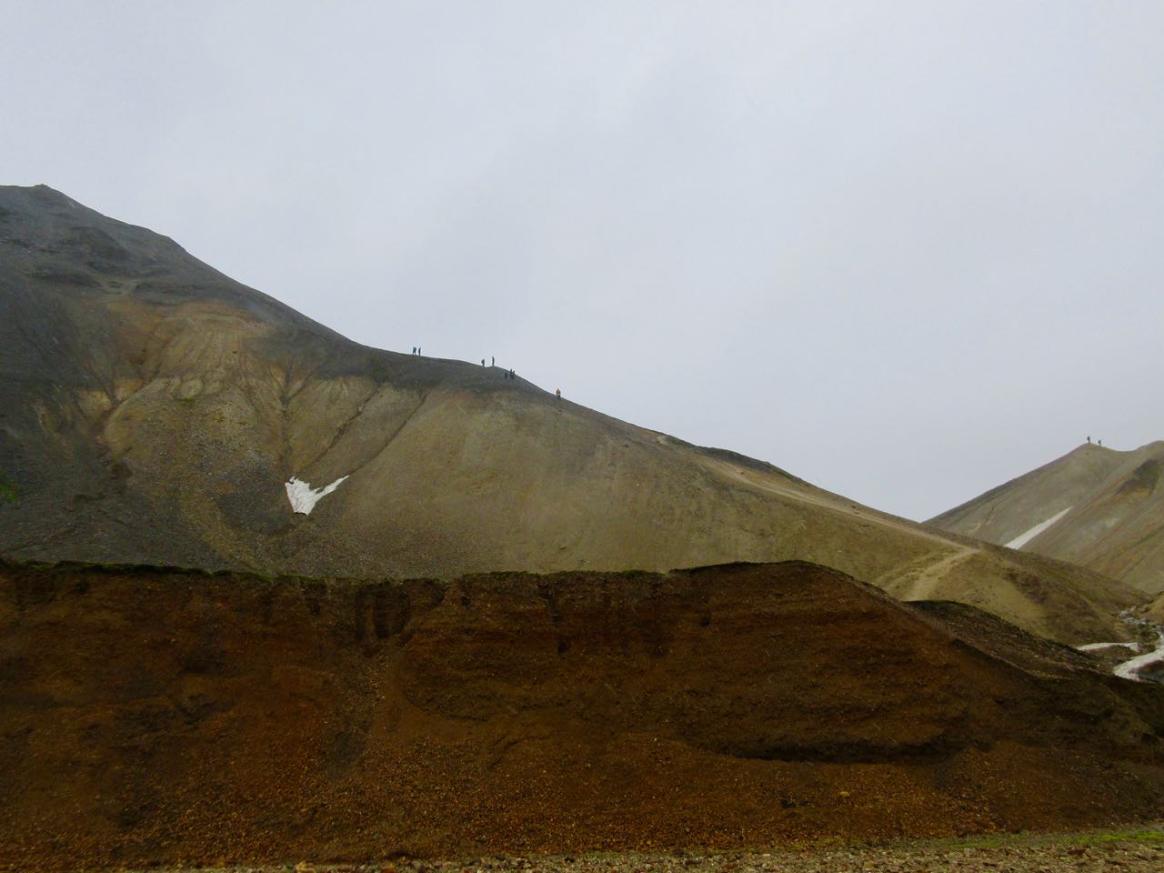
I made my own routes including parts of the Sulphur Wave trail (towards Brennisteinsalda). Wandered the Laugahraun lava fields. I climbed part way up Blue Peak (Bláhnjúkur).
The weather never really got any worse.
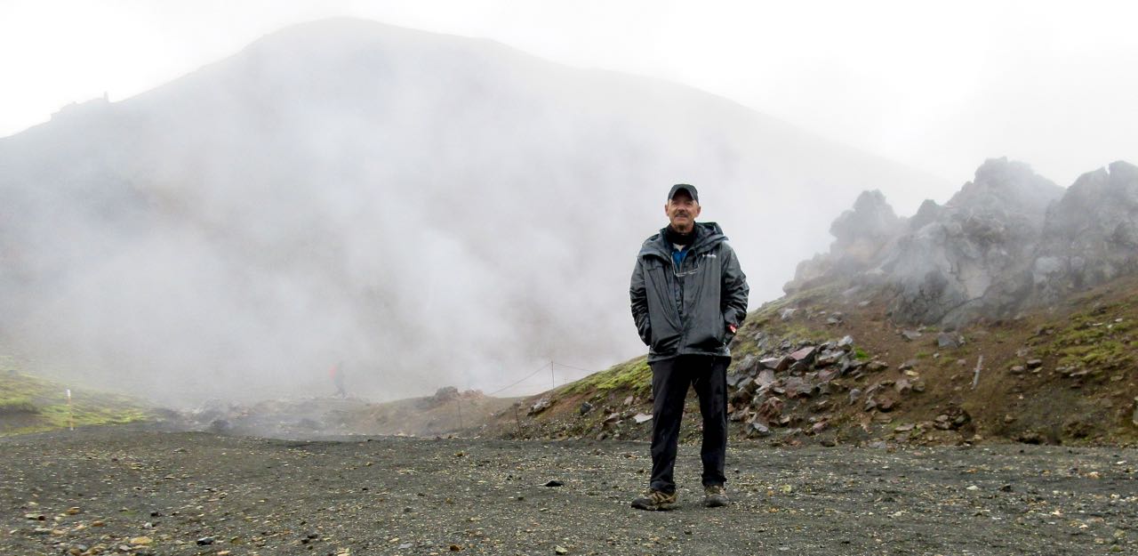
In fact, this was some of my best hiking of the trip.
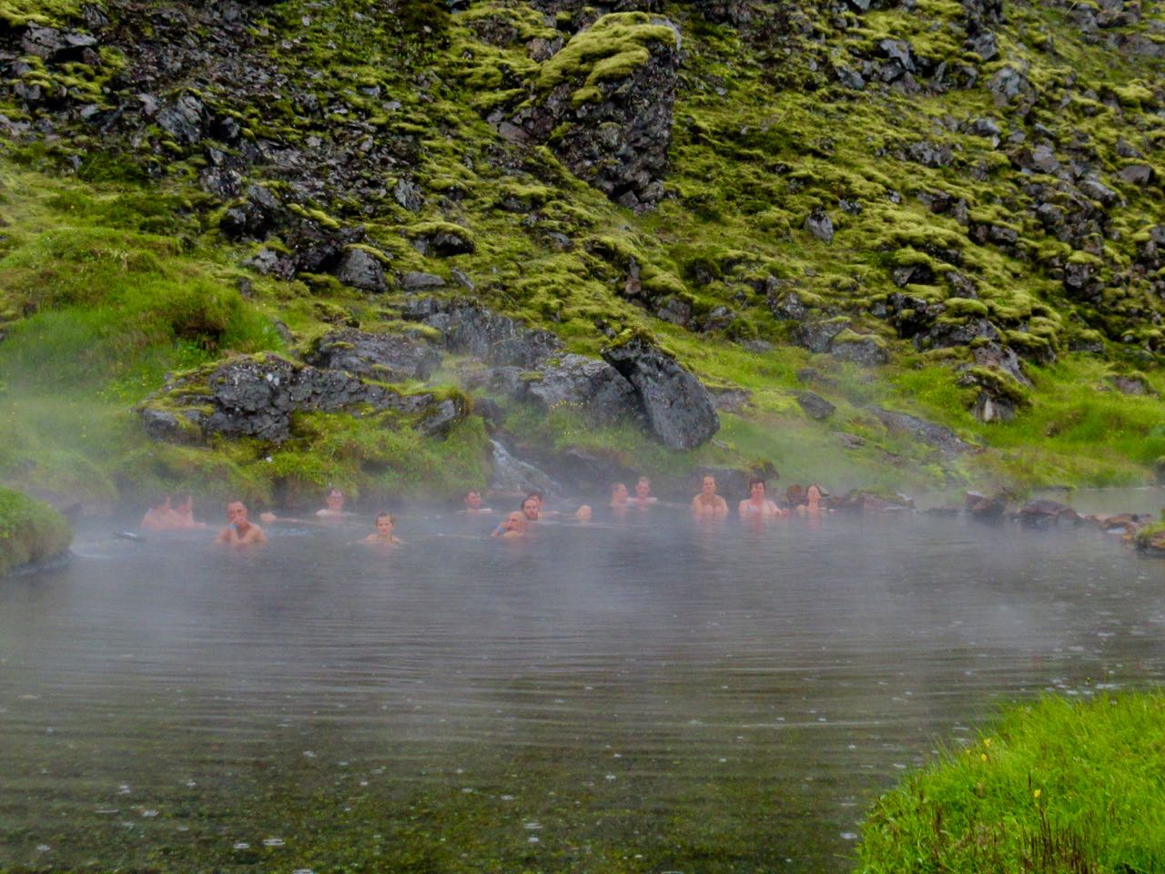
I enjoyed another hot springs soak, of course.
And hung out in the cook tent as late as possible. Before climbing into my warm, comfortable bunkbed. Those out in tents were getting soaked.
If you want to know more, check out HOW TO VISIT AND WHERE TO HIKE IN LANDMANNALAUGAR, ICELAND.