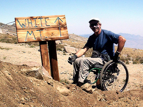
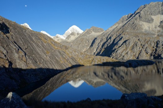
The Ausangate circuit is a trek that is relative untouched by the massive tourism industry in Cusco. Because of that, this is one a hike where there is plenty of solitude. On the flip side, it is much tougher as it is about 1 km higher than Cusco with passes that go over 5 km in elevation (16k ft). …
… the trail is not marked and there are no signs to discriminate trails the locals use trail around the mountain. So, map skills, GPS, or a guide is imperative for a trek like this. All of this is pretty manageable for experienced backpackers.
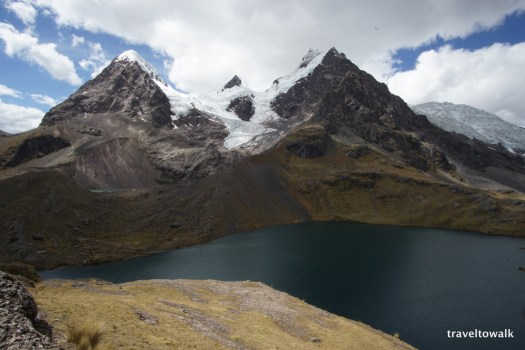
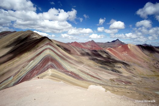
However, we decided to add an additional layer to this already challenging task. There is information out there that the Rainbow Mountains are nearby and provides a side trip possibility. …
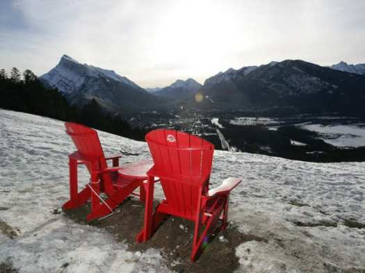
Starting 2014, Parks Canada began placing recycled plastic Adirondack chairs in scenic locations throughout Canada’s national parks, including the flagship Banff, to help draw people to viewpoints and connect with nature. It’s a publicity stunt.
Elevation gain: 455 m (1,500 ft)
Maximum elevation: 1920 m (6,300 ft)
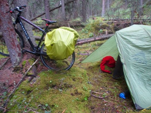
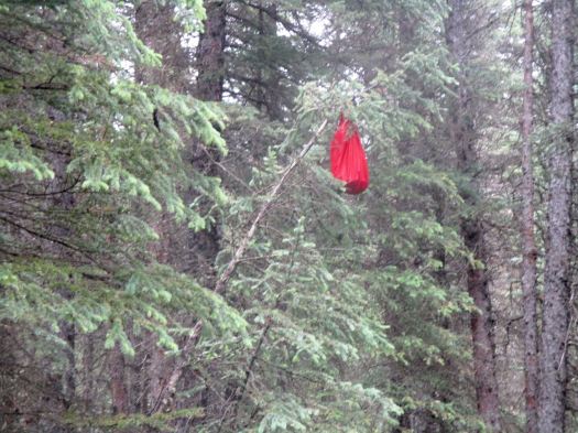
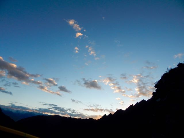
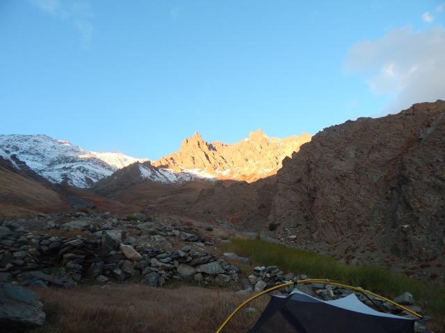
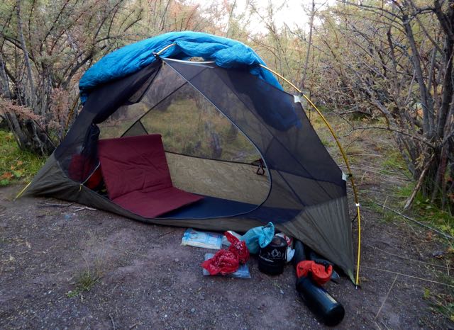
I’d wild camped the previous night, rushing to the first discrete spot I could find when thunder and lightning started.
Hanging food in this kind of forest isn’t easy. This time I bent a small tree to the ground. Let it spring back to vertical with my bear bag in place.
Next morning I loaded up the panniers and headed for the trailhead. That had been my first night ever bike camping. 🙂
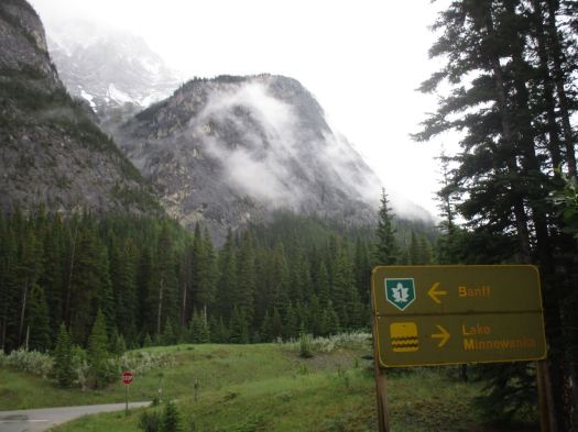
My goal was C-Level Cirque on nearby Cascade Mountain. One of the most popular day hikes out of Banff.
Looked like new snow had arrived the previous night.
The trail begins its ascent through a pleasantly varied forest of lodgepole pine, aspen and spruce, where calypso orchids, blue clematis and many colourful violets bloom in early summer.
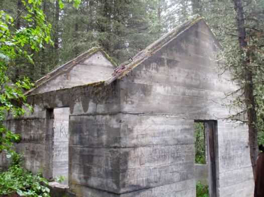
Within a half-hour you reach two skeletal buildings, the remnants of an anthracite coal operation that flourished in the area from 1904 to 1922. A town of nearly 1,000 inhabitants called Bankhead was spread across the valley where the trail begins, and these old buildings were a part of the “C Level” operation—the highest coal seams worked within the eastern slope of Cascade Mountain. …
When you sleep under the net and stars, you wake at first light.
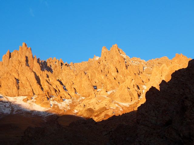
In no rush, I enjoyed 3 pots of coffee while waiting for the sun to reach my tent.
Time to GO.
Up. Up. Up.
As I drew closer the crossing got increasingly more serious looking.
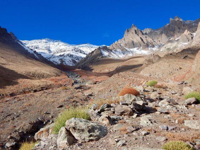
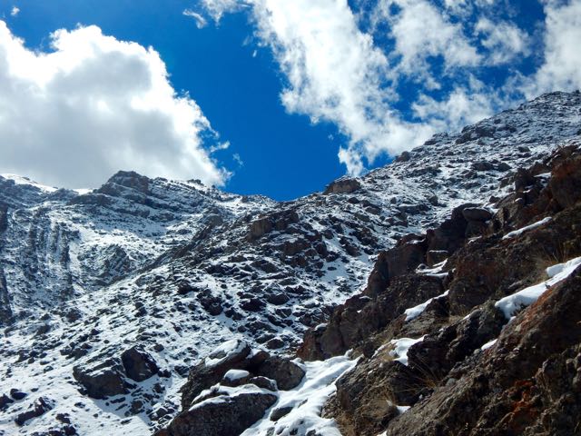
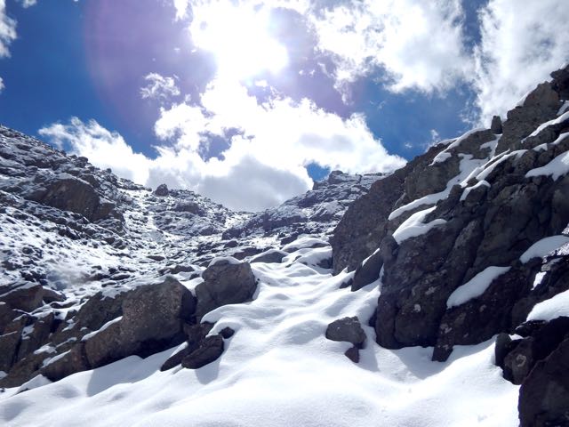
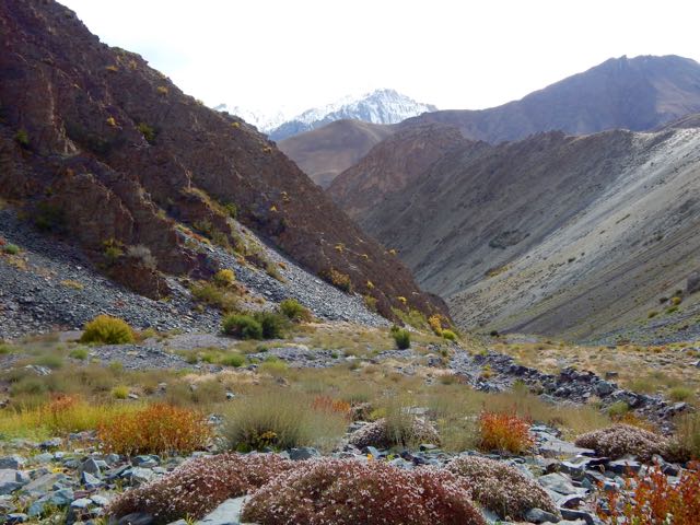
Entering this valley, the trail disappeared beneath the snow.
I was at the same altitude as the snow line on the other side of the Indus.
Luckily, the weather was perfect.
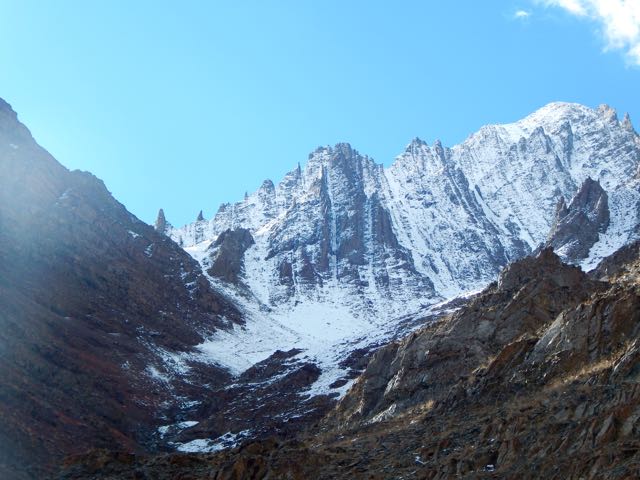
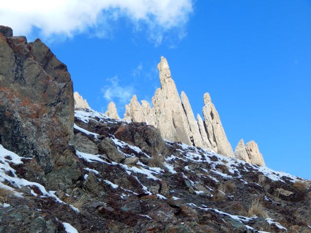
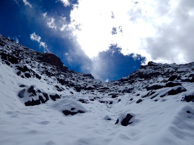
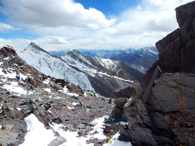
Which notch on the skyline is the pass?
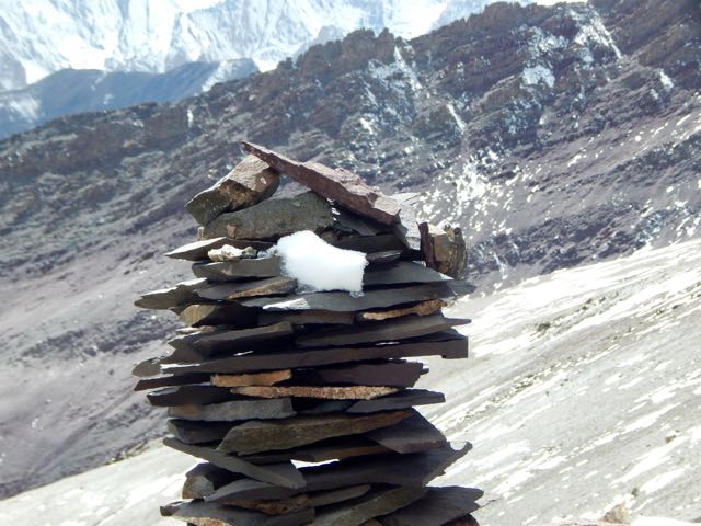
Normally I’d be able to find the route by following cairns.
Sadly, there were very, very few cairns. Mostly I made up my own route. The new snow got thicker and thicker.
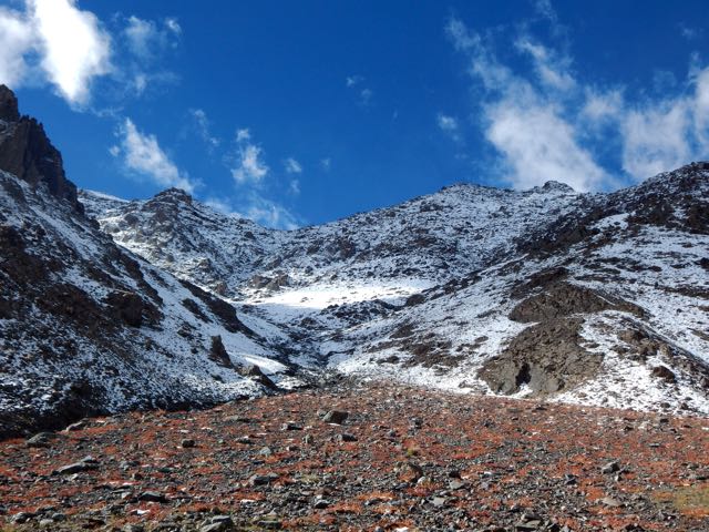
I was the second visitor here since the snow fell.
As the morning warmed-up, snow got softer. At the top there were sections of exposure.
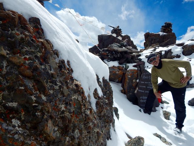
The slope got steeper. Finally – pissed off – I dropped my pack and climbed up the slippery, frustrating slope without it.
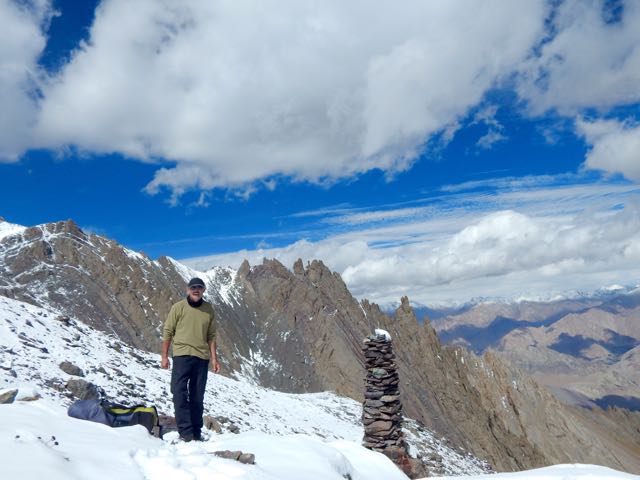
Happy. Happy. I finally saw the prayer flags of Stakspi La 5177m (16985ft).
Thanks the Gods. The other side was an easy descent, in comparison. I’d feared it would be as snowy and slippery as the ascent side.
It was an 15 excited minutes down. 35 very motivated minutes back up with the pack. (The alternative – having to retreat on that soft snow could have been disastrous.)
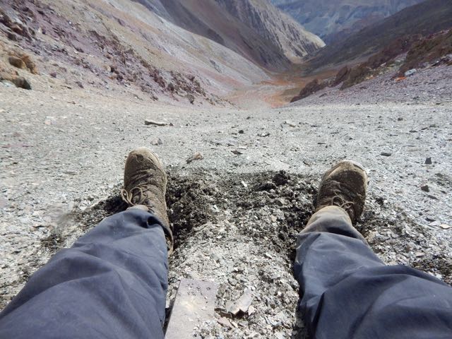
Even better, the downhill was a soft scree slope. Fun. And very easy on the knees and feet.
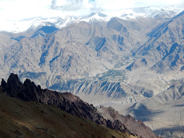
Very quickly I was at the valley bottom looking back at the Pass.
Already I’d concluded to NOT recommend this route on my hiking site. It’s far too dangerous. And it was obvious that very few people ever cross it.
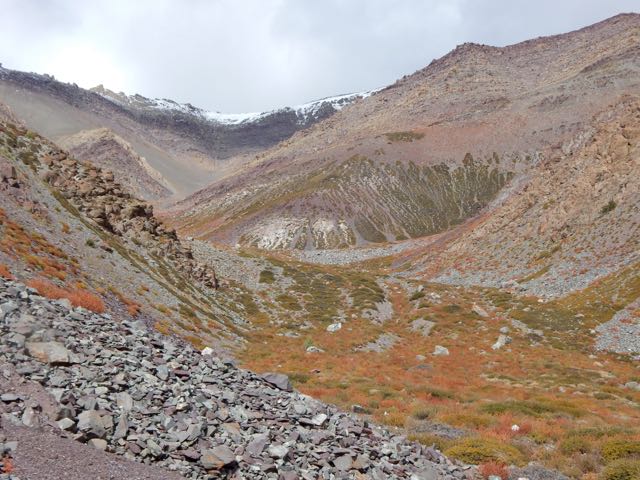
I’d not taken the time to melt snow so had very little water left at this point.
I could see small springs up high on the slopes, but was watching closely for the start of water in the main valley. And for good camp spots. I was exhausted.
I spotted one possibility.
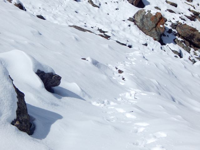
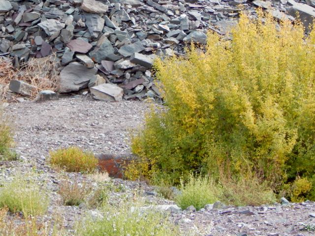
Then 2 snow leopards resting next door! There may be as few as 7000 left in the wild.
One took flight instantly. And was gone.
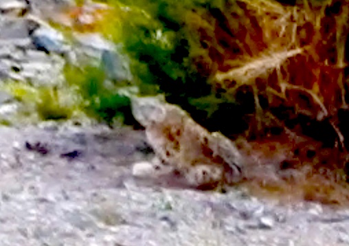
The other stayed. And stared me down. I franticly fired up my camera into video mode.
screen grab from video
Eventually the second took off after the first, both disappearing into some scrub trees on the mountain slope.
I hung around for another 30 minutes, hoping to see them again. But I believe both stayed in the trees motionless. Watching me.
Needless to say, I didn’t camp there. I moved on down the valley.
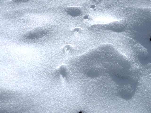
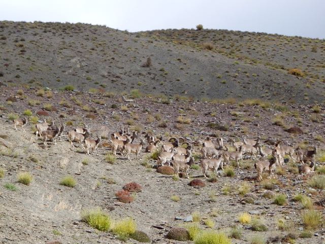
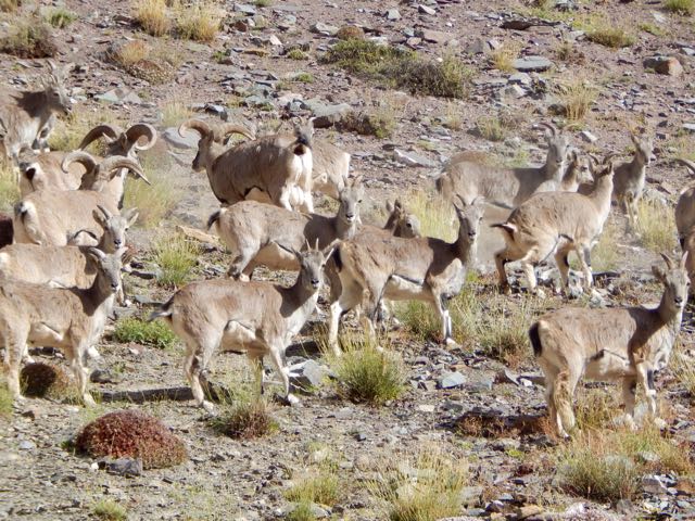
About 15 minutes later I found out why the snow leopards were so close to a human trail. They were on the hunt. This is their favourite prey – Blue Sheep.
Why were these sheep so far from the protection of a rocky wall? I could only guess they’d come down for an evening drink of water.
Not much further down I found a protected, hidden spot by the finally running water. And crashed early.
It had been a rough day.
But seeing snow leopards definitely made up for my suffering on the ascent. The Snow Leopard (1978) by Peter Matthiessen is one of my favourite books. In it George Schaller and Matthiessen search for Himalayan blue sheep and Snow Leopard. Schaller eventually spots a snow leopard, but Matthiessen does not.