hiking Tronador to Otto Meiling – day 1

trip report by site editor Rick McCharles 

day 1 | 2 | video | info page

The main hub for hikers in the Argentinian lake district is Bariloche.
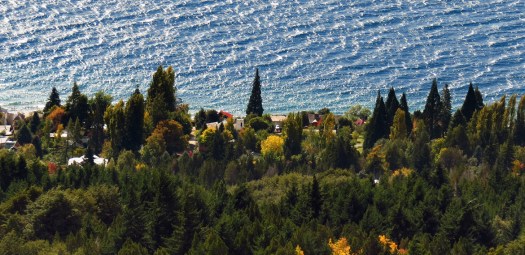
The population of 130,000 plus tourists stretches along the busy lakeside highway. It should be another Banff, Chamonix, Queenstown … but isn’t. Many (including myself) become disenchanted with the place after a while.

Super popular with hikers, however, out of Bariloche is a one night adventure to climb an extinct volcano called Tronador (Thunderer) 3,470 m, the highest peak in the area. A 1200m ascent from the valley trailhead.

Argentina can be frustrating for tourists. Mucho problemas. But one highlight is Club Andino Bariloche (CAB). It’s an excellent organization which runs a number of alpine huts (refugios) and campgrounds.
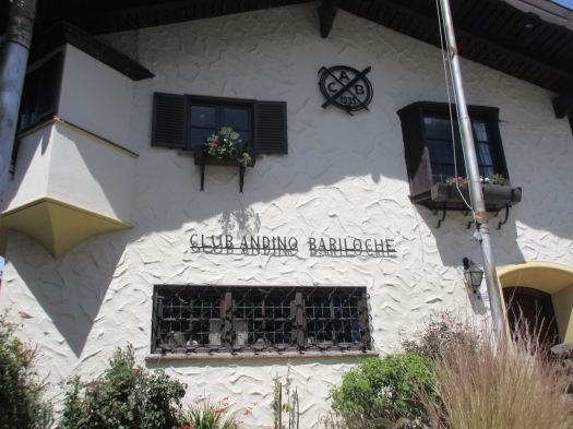
Though the Government Parks office in Bariloche is often closed, CAB seems to always be open, staffed with friendly, English speaking experts.

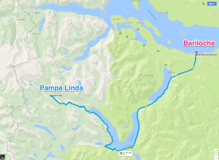
At CAB, buy a return hiker’s shuttle bus ticket to Pampa Linda for about $40. Pampa Linda is the trailhead for Tronador.

We departed Bariloche 8:30am. It’s a bumpy, dusty, but scenic 77km to Pampa Linda close to the Chilean border.
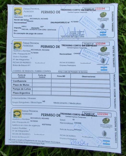
Here you fill out a mandatory, free registration form.

I hung around Pampa Linda letting the largest group of hikers get started ahead of me.

The trail is a road to start. But green and tranquil.

Hoping to shortcut I jumped on to a smaller trail … It turned out to be the side trip to Mirador del Valle, a valley view point. Oops.

It took me 20 minutes or so to realize my mistake. But rather than admit I was an idiot, I dropped my pack and carried on up the little used, overgrown trail.

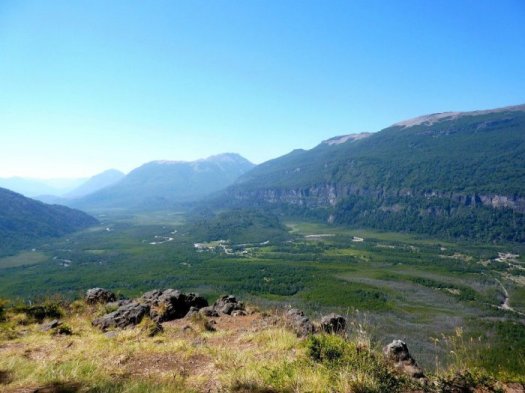
I never did make it to the viewpoint. But here’s a photo looking back to the valley.
The main trail does get steeper in places. There are stairs and switchbacks.

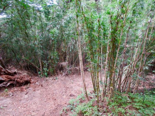
After spending 4 days above tree line on my last hike, it was a nice change to walk in bamboo forest shaded by huge trees.
Still, I was looking forward to views from up high. It was exciting to finally reach the big vistas.

Perhaps most impressive were waterfalls coming off the glacier.
Weather was deteriorating rapidly so I didn’t stop.

I’ve seen condors many times, but it was still thrilling to see two flying by very close. They circled the alpine hut, too.

I rushed up to choose my (semi-protected) campsite for the night. I wanted to get as close to the glacier as possible.
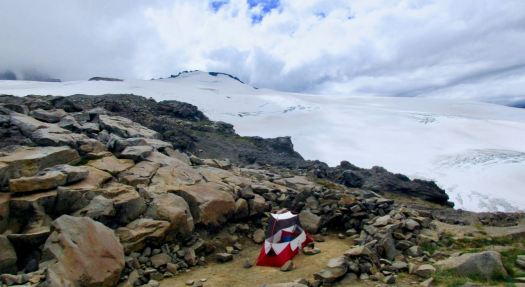
It began to rain just as I set up the tent. So I didn’t do much sightseeing at dusk.

Instead I read my book. Then headed over to the famed Otto Meiling hut.
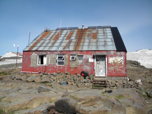
Otto Meiling (Cerro Tronador)

As a solo English speaking hiker I don’t much enjoy stepping into these cramped, expensive refuges, but Otto Meiling is better than most in Argentina. It’s quite cosy indoors.

Otto Meiling (1902-1989), a German immigrant and carpenter/mountaineer, built the hut in the 1950s. He climbed the mountain 15 times. At age 84, he made an ascent from Pampa Linda and returned in one day! His fondness for mountaineering led to founding the Club Andino de Bariloche which is thriving today.

Otto Meiling

I’d neglected to carry wine so hoped to purchase one glass to celebrate inside away from the drizzle. Unfortunately this hut only sells wine by the bottle. I had a $5 hot chocolate instead. Food and drink are good, but understandably expensive, in alpine huts.

Not lasting long I retreated to my cozy tent to watch an episode of Fortitude. Then listen to my (excellent) biography of Leonardo da Vinci.

Friends had been up a few nights early in perfect weather. No moon. Here’s how it looked.

– by Peter Battelli

day 1 | 2 | video | info page


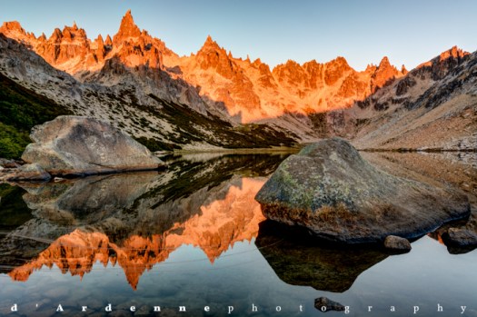
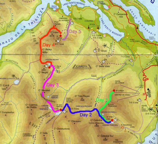
starting Nahuel Huapi Traverse today

by site editor Rick McCharles 

One of the most popular overnight hikes in Argentina.

It’s conveniently close to Bariloche. I can take a city bus up to Villa Catedral Ski Resort to start.

I’ll likely do the Traverse in 4 days, 3 nights — skipping the Frey refuge as I couldn’t get a booking. It’s filled constantly with rock climbers.

hiking Fitz Roy, Laguna Torre and Perito Moreno Glacier

Backpacker’s Review was in Chile December 2017 to trek some of the best hikes in the world:

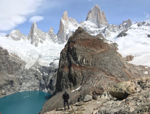
We spent two nights in El Chalten and hiked to Laguna de Los Tres (13.6 miles, +/- 3,200 feet of elevation) and to Laguna Torre (12.6 miles, +/- 1,700 feet of elevation).

Then, we spent two nights in El Calafate and explored around the Perito Moreno Glacier. Highlights included much of what Patagonia offers including: massive glaciers, dramatic mountain peaks, glacier fed lakes, and green forests….

Jump to: Day 1, travel
Jump to: Day 2, Laguna de Los Tres and Mount Fitz Roy Hike
Jump to: Day 3, Laguna Torre and Cerro Torre Hike
Jump to: Day 4, the Perito Moreno Glacier
Jump to: Day 5, travel

LOS GLACIARES NATIONAL PARK, PATAGONIA – MOUNT FITZ ROY, CERRO TORRE, AND THE PERITO MORENO GLACIER

related – our Fitz Roy information page

Manaslu Circuit Trek, Nepal

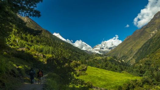
This is a fantastic hike. But you can’t do it independently. Guides are required. Finding the right person is high priority.

Yondering Soles:

… I did my trip in September-October 2017, which is during the peak season in Nepal but just slightly before the real crowds.

Before reading this, please first read my post on the guide to Manaslu Circuit Trek. It is important to first understand about the regulations and requirements for the Manaslu Region. There is also more information on the side-treks you can do. …

MANASLU CIRCUIT TREK : DETAILED ITINERARY

related – our Manaslu Circuit information page

Trekking to Aconcagua’s Plaza Francia INDEPENDENTLY – Day 3

trip report by editor Rick McCharles

day 0 | 1 | 2 | 3 | info page | video

Up early again. Coffee as the sun rises.

Rather than doing any more hiking I enjoyed a lazy morning at camp. Toying with my electronics. Listening to my Spanish lessons. The sun was HOT.

There are all sorts of characters coming and going. Some carry huge backpacks.

The craziest of the crazy are trying to summit Aconcagua independently and unsupported. Somehow transporting 70kg of gear or so up the mountain with multiple shuttles.

Around 11am I finally packed up the tent.

I figured it would be an easy walkout. No rush to catch the 5pm bus.

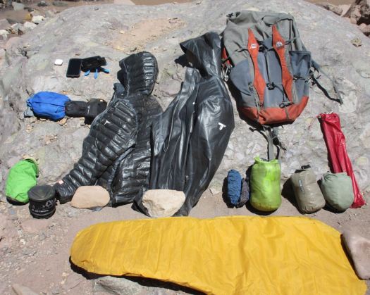
On a rest stop I laid out my basic gear to dry.
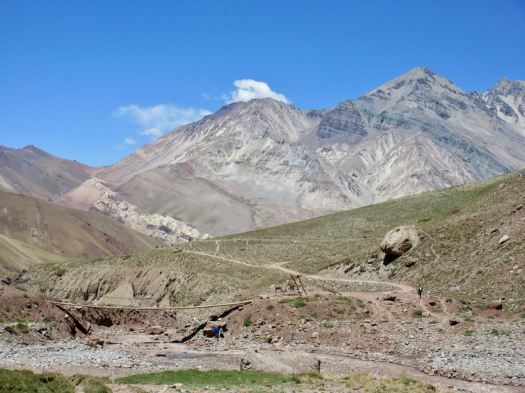
I’d expected a quick 2 hour 400m descent, but the walk felt long. Full pack. I was tired.

It was nice to finally reach vegetation.

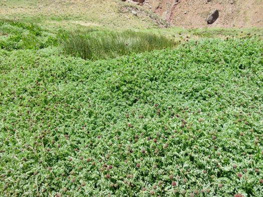
If there’s something green here, there’s plenty of water.

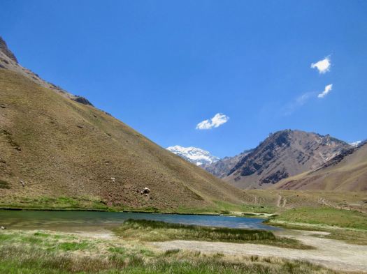
Laguna de Horcones (2950m)

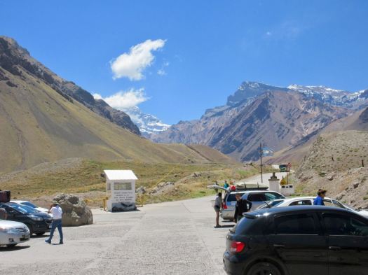
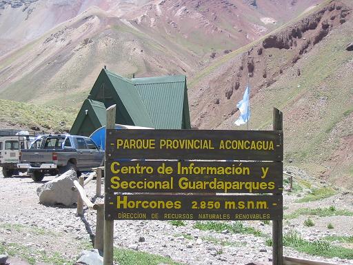
I checked out at the park entrance. Turned in my permit. Handed over my trash bag.

My Aconcagua trek was a success.

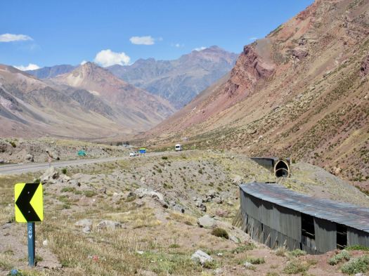
With a couple of hours before the bus arrived, I walked the highway …

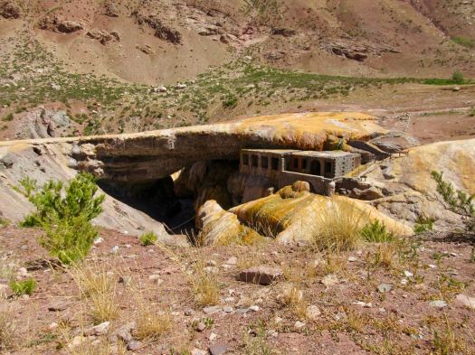
… down to Puente del Inca (2740m).

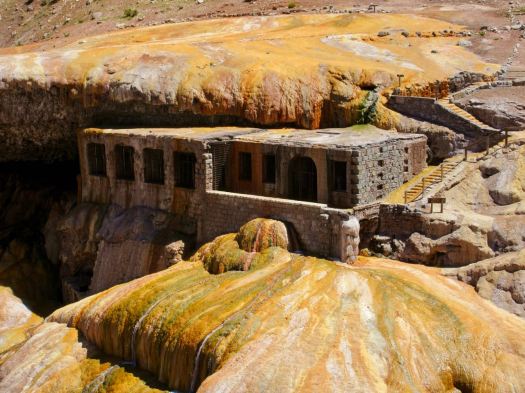
…a natural arch that forms a bridge over the Vacas River, a tributary of the Mendoza River. … 

In March 1835, Charles Darwin visited the site, and made some drawings of the bridge …

In the old days people would walk across the bridge to reach the stone church.
It’s a tourist trap with overpriced junk and yappy dogs.

I decided to wait to eat in Mendoza.

There are a couple of hostels and a campground, however. A good emergency stop. Or hikers could sleep here one night before heading up towards Aconcagua.

I slept well on the bus. Then got myself a big chunk of Argentinian beef to celebrate back at the hostel.

Trekking to Aconcagua’s Plaza Francia INDEPENDENTLY – Day 2

trip report by editor Rick McCharles

day 0 | 1 | 2 | 3 | info page | video

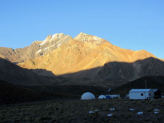
I was up early. Drinking coffee. Watching the sun catch high peaks.

I waited until 8am to start and was still first to depart Confluencia.

In fact I wasn’t sure of the route as it wasn’t signed at the start. A couple of people pointed me in the right direction.

Very soon the signage began. It’s clear. You can’t easily get lost (though people have). No GPS, guidebook or map is needed. Follow the cairns.

With about 1000m to climb I carried a fairly light pack. I was in the shade of the mountains for the first 2 hours.

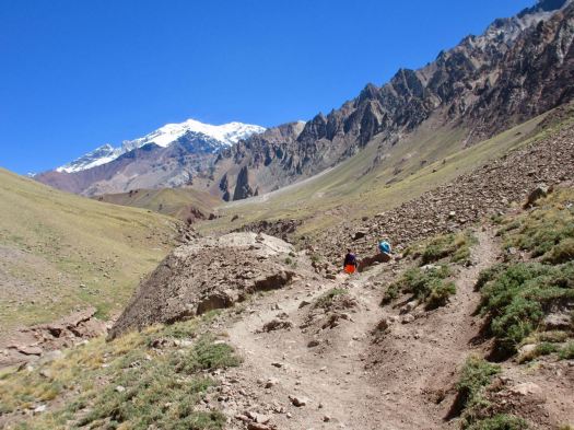
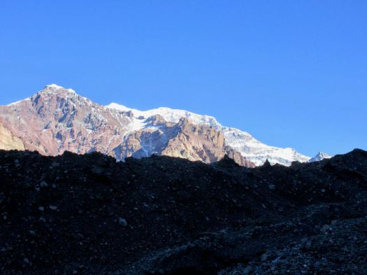
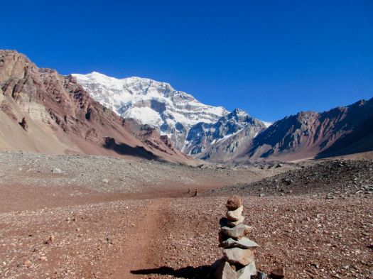
You see the big mountain appear early on.

WOW. This must be one of the best days of the year. Very little wind.

Was I in Nepal? Or the Andes.

Once you get above vegetation there’s no way to tell.

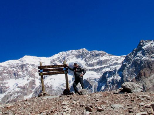
Many people finish at the second of two viewpoints. The view is as good here at 4126m as anywhere.

But, alone, first hiker of the day, I continued another 45 minutes on to French Camp.

As you can see, it was t-shirt weather.

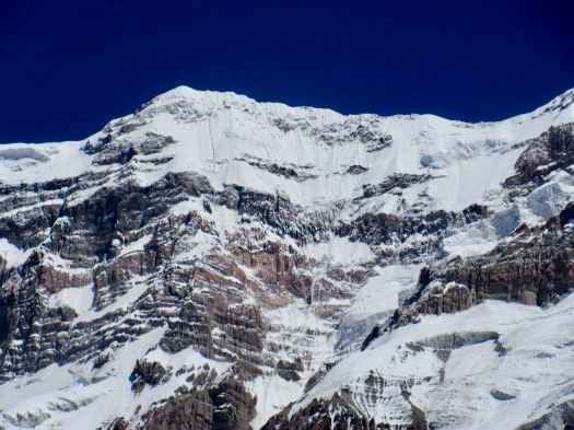
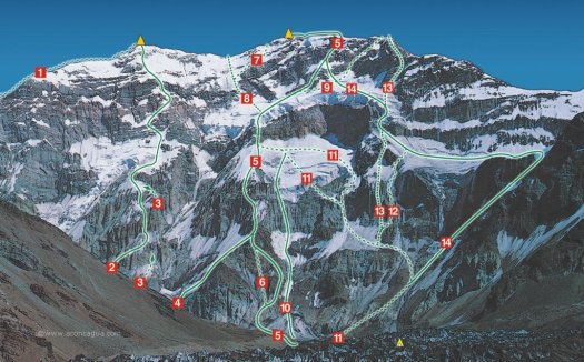
The only reason to hike the final rugged stretch after the viewpoint is to get an even closer view of the massive south face wall. The hanging glaciers. It’s not easy to believe that’s a 3km drop from the top.

I couldn’t guess what line they’d climb. It looked impossible.

Turns out they’ve climbed many impossible lines.

This same day a guy I met later was on the other side of the mountain slogging through metre deep new snow. His entire group turned back at 6600m aside from one character who did (somehow) summit.

Excited I’d been so lucky with my weather, I turned back quickly. Perhaps I could hike some of the trail towards Mule Camp before dark.

Vistas in the other direction are beautiful. I’d not looked back much on the way up.

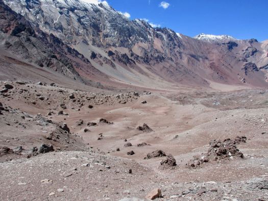
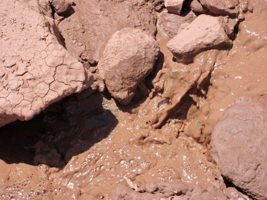
I’d expected plenty of water but you should carry up all you need. It’s a desert. And most of what’s running is silted.

On the way down I took time to observe the glacier. Most of the trail is on glacial moraine.

Almost nothing can live up here. This thorny bush is hardiest.

THIS astragalus arnottianus somehow survives too.

By the time I got back down to the main trail I was exhausted. There’d be no more hiking for me this day.

It was 8 hours tent-back-to-tent moving quite quickly.
I again climbed into my bag for a nap, but this time also to get out of the sun. Though careful with face and head, I’d managed to sunburn my hands and forearms. There’s very little shade available.
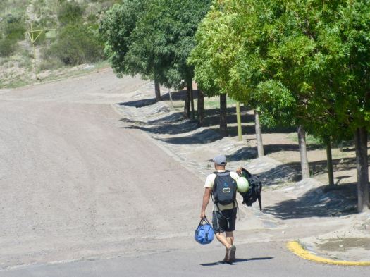
That evening I went over for my mandatory doctor’s check-up. He listened to heart rate. Blood pressure. Asked a few questions. Then signed my permit.

In the tent that night I listened to Coffee Break Spanish language podcasts and got into a hilarious book about character named Hard Luck Hank.

Two tents of noisy independent Russians had arrived. They argued and shouted late into the night. With headphones on, I didn’t care.

Trekking to Aconcagua’s Plaza Francia INDEPENDENTLY – Day 1

trip report by editor Rick McCharles

day 0 | 1 | 2 | 3 | info page| video

Next morning was sunny. Mendoza enjoys 330 days of sun a year.

With only a 3-4 hour walk in gaining about 400m, I packed heavy.

There are 3 buses a day from Mendoza to the Aconcagua Provincial Park. Go early to the Mendoza bus station and buy a ticket in advance on the Buttini Bus. Seats are assigned. Ask for a window on the right side of the bus. Cost one way in 2018 was AR$130.

Roberto sat down beside me on the bus. He’s a rafting guide from Guatemala who’s worked all over the world. 15 years on the Arkansas river in Colorado, for example.

In 2018 he’s finally guiding the Grand Canyon. Those trips are decided on by a lottery system. He jumped off at Potrerillos where he was visiting a friend, another guide.

I was headed back towards Santiago, Chile on the same scenic highway I’d traveled on an express bus. My local bus stopped everywhere taking 4 hours to get back to close to the border with Chile.

The Parque Provincial Aconcagua office on the highway is quite well organized. We had our permits checked and strictly informed that all trash must be returned in a numbered bag back to this office.

Day hikers can walk a short way up the valley towards the big mountain for $10. (foreigners $25.50)

It’s a popular stop for tourists.

In fact you get quite a good view of Aconcagua from the highway. For free.

You need to walk up a paved road to the parking lot before getting started.
I was to be surprised how many helicopters race up to Aconcagua every day. Two are parked here at the entrance. Ready to go.
Only those with trekking permits can cross the river. I felt I was finally on the Francia trek.
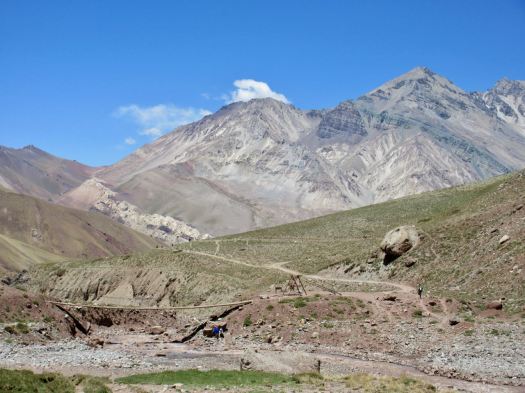
Excited, I rushed up to Confluencia camp (3350m) as quickly as I could.
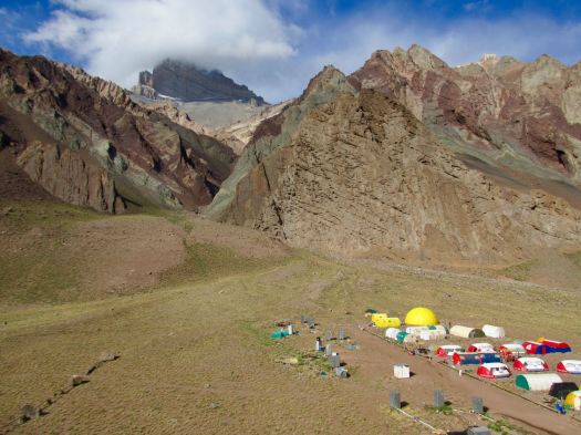
It looks much more impressive from a distance than up close.
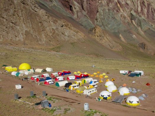
In fact, it’s rather crowded and dirty.

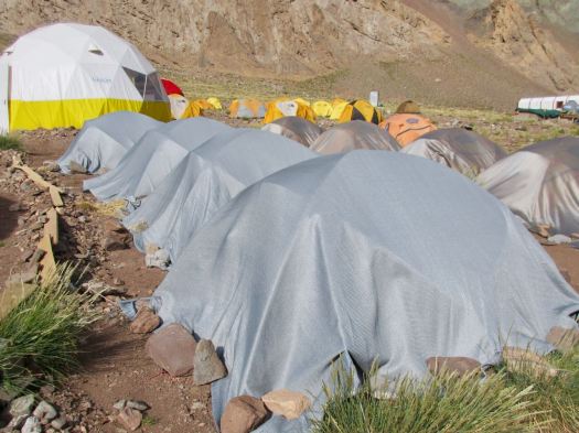
Guided clients sleep in one of the company fixed tents.

When not in use they are protected.
I do like their big bright shared areas.

It was late afternoon, the sun already passed behind the mountains.
On arrival you check in with the camp guards. They directed me to the tiny area where independent campers are allowed to pitch. We are definitely second class clients here.
Toilets are BAD for guided clients as well as independents.

Chilled and surprisingly tired, I crawled into my sleeping bag and had a nap. I had a slight altitude headache but no other symptoms.

Eventually getting up, II wandered around early evening, enjoying nightfall.

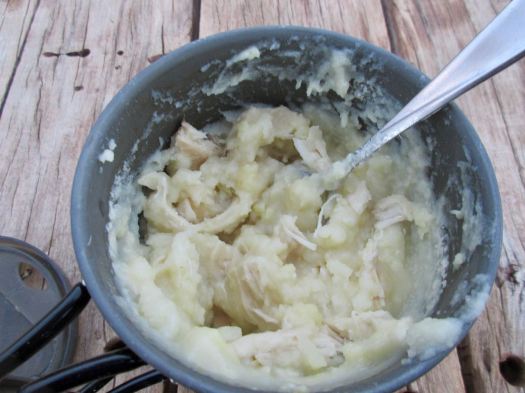
There’s a convenient picnic table with good water supply for independent hikers. I had my standard Knorr soup with instant mashed potatoes. Barbecue chicken mixed in.
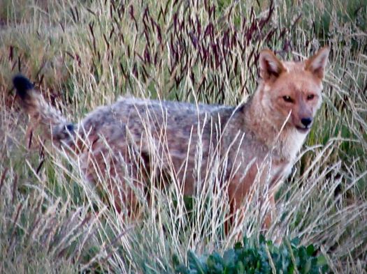
Cheeky Andean fox tend to show up at campsites about dusk. I saw this one hanging around at dinner hoping for leftovers. And another two in the early morning.
BIG day tomorrow. I tried to get as much sleep as I could at 3350m.
Half the crowded camp wanted to rest. The other half to party. Bring headphones or earplugs.

Trekking to Aconcagua’s Plaza Francia INDEPENDENTLY – Day 0

trip report by site editor Rick McCharles

day 0 | 1 | 2 | 3 | info page | video

The best hike (not climb) in Aconcagua Provincial Park, Argentina is to the Plaza Francia, I reckon.

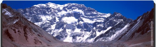
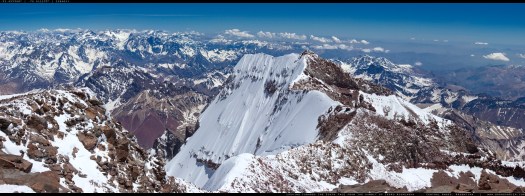
Aconcagua is the tallest mountain outside Asia. Most impressive is the south face – a wall of rock and ice nearly 3000m high.

It’s steep.

Here’s my promised vista from Francia.

The French team of 1954 who made the first ascent, returned with severe frostbite, Imagine the terrible gear they were using.

Almost everyone treks to Aconcagua’s south face base camp — Plaza Francia — with a guide.

Inka Expeditions is one of the best.

But it’s relatively easy to do Francia on your own.

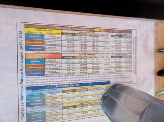
Cost for my independent trekking permit January 2018 was $160 plus bus ($19) plus food.

Aconcagua fees January 2018

Cost for the same trip with Inka Expeditions was — at the same time — to Plaza Francia $715 / person discounted to $470 / person + tip if you book in advance.
http://inka.com.ar/aconcagua-trekkings/aconcagua-trekking-plaza-francia/

(Note – Inka Expeditions trekking to Plaza de Mulas was $1360 / person and trekking to Mt. Bonete $1690 / person.)

The other independent permit option is 7 days for $310. You’d easily visit both Francia and Plaza de Mulas (Mule Camp) with more time to acclimatize. But we’d recommend doing Francia in 3 days, instead.

There are a number of outdoors shops in Mendoza that sell camp stove fuel. Chamonix is the best I found.

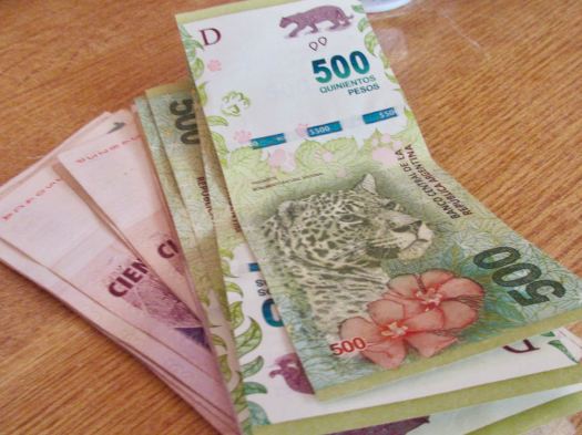
First day in Argentina I had trouble finding a bank that would accept my Debit Card. They all take Credit Cards, but you get instantly charged a high rate of interest for cash advance on credit.

Finally I found a bigger branch of the Galicia bank where my bank card worked. Maximum seems to be 3000 ARG, just under $180. I put that cash in my pocket.

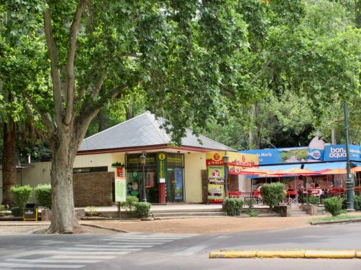
Tourist Information offices in Mendoza are excellent. They gave me a map and showed where the Park Office that issues trekking permits is located.

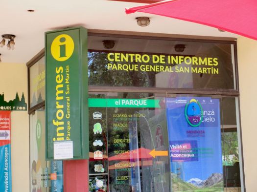
  • Centro de Informes, Parque General San Martin, Mendoza (Google map).

Not central, it’s in the gigantic Parque General San Martin.

On arrival employee #1 explained I’d need to pay in cash, Argentinian pesos only. Cost for the 3 day permit was 3080 ARG, exactly 80 pesos more than I had in my pocket. 🤨

I’d need to go back to the bank.

In addition, I needed the number of my insurance policy that covers hiking (not climbing).

I didn’t have the number with me nor was I sure my current policy covered hiking. I walked back to the hostel to get the number.

Second trip to the Centro de Informes employee #1 was gone. Employee #2 informed me no insurance was needed for the 3 day trek, only the longer permits.

He helped me make application online on computers in the office. The web page is not well designed. I was happy to do it there and in person.

The options and costs for different adventures on Aconcagua are confusing.

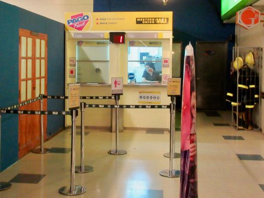
Application printed and in hand, he told me to walk to the nearest “Easy Pay” kiosk. Parks employees are not allowed to handle money.

Closest was about 1km away in the park. I walked there only to find out it was closed Mondays. 🤨 Retuning to #YouHadOneJob employee #2 quite irked, he blurted his lack of critical information was a 3rd world problem.

Ya. … Right.

I walked to the next closest Easy Pay.

That worked well. They do take only cash.

BACK for the 3rd time same day to the Centro de Informes.

My permit was processed and I — finally — had it in hand. It was good for any time over the next 3 weeks.

I picked up my camping food at the massive Carrefour grocery store. No peanut butter, however. I took inexpensive, calorie rich Christmas cake instead. Love candied fruit and raisins.

That night at Alamo hostel it was the old guys at the table late night. All the youngsters were out in Mendoza Bars. Two of the Argentinian gentlemen cooked up empanadas and pizza. Me and the social worker from Texas enjoyed their cooking while sharing Malbec.

I tried to go to bed early.

hiking (not climbing) Aconcagua today

The standard itinerary: 3 days, 2 nights camped at Confluencia.

From there I’ll hike part way at least up both the Plaza de Mulas and Plaza Fancia routes.

Confluencia is at 3200m. There’s a mandatory medical check on arrival.

It wasn’t easy but I managed to get a permit to hike independently and alone. Nor was it cheap – US$180 for the 3 days.

Trip report coming soon.

highest points in the 50 U.S. States

Highpointing is the sport of ascending to the point with the highest elevation within a given area.

The Highpointers Club promotes climbing to the highest point in each of the 50 U.S. States.

Alaska’s Denali is the most difficult. The lowest is 350′ — Florida’s Britton Hill. About 20 of the states can be ascended by automobile. Only 10 to 20 require serious effort.

Elevations of the 50 United States and the District of Columbia

50-highest-points

SummitPost – U.S. State Highpoints Mountains & Rocks