day hiker dead on Mt Rainier

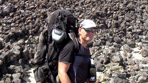
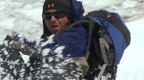
We climbed Mt. Adams in the Cascades in beautiful weather. But our guide Matt insisted we haul survival gear up to the summit including parkas, emergency sleeping bag, stove, fuel.

On the descent Matt suggested a future trip up to Camp Muir on Rainier. No doubt he’d insist we carry survival gear yet again.

Here’s why …

mount_rainier_over_tacoma.jpg
Wikipedia

Park rangers say the three — two men and a woman — planned a day hike Monday to Camp Muir, which stands at about 10,000 feet feet on the 14,410-foot mountain and has a shelter. However, a wintry storm that blew in pinned them down near that location. Park officials say the storm dumped 2 feet of snow and created 5-foot drifts at Paradise and generated winds of 70 mph at Camp Muir.

At 3:30 a.m. Tuesday the trio, which dug a snow shelter to avoid the brunt of the storm, managed to get through to park rangers with a 911 emergency call; but because of heavy snow and near zero visibility rangers were unable to safely initiate a search at that time. At about 7:15 a.m. one member of the party found his way to Camp Muir and was able to direct a search team, made up of climbing guides and park rangers stationed at Camp Muir, to the party’s location near Anvil Rock.

All three of the stranded hikers were under shelter at Camp Muir by 8:30 a.m. Tuesday, though all suffered hypothermia and frostbite and one was unconscious and unresponsive and ultimately succumbed to his injuries.

The man who died was the husband of the surviving woman. All three were in their early 30s and from Bellevue, Washington. They all were experienced mountaineers who had visited Camp Muir in the past and enjoy hiking on Mount Rainier. …

Day Hike Turns Fatal at Mount Rainier National Park – National Parks Traveler

That site has a Category called: Missteps in the Parks

Nepal trek in November?

A few years ago, my Canadian hiking buddy Grant Assenheimer and I did an 11-day trek on the infamous Huayhuash Circuit in Peru. It was superb.

huayhuash_iktk.jpg

… the remote, forbidding Huayhuash range was made famous when Joe Simpson & Simon Yates climbed Siula Grande in 1985. The book & film Touching the Void were both hits. …

… Punta Coyoc pass 5490m (18,012ft) …

Grant is in Kathmandu right now deciding on an early November hike. So far he is leaning towards Annapurna Base Camp off the Annapurna Circuit. Alternately, one of the less touristy Everest hikes.

Leave a comment below if you will be in Nepal. October / November are the best months. Grant is looking for trekking partners.

He’s happy to hike independently. Or to hire a guide.

… on the High Sierra Trail, California

Very, very high on my list of “next hikes” is this one. The photos on this trip report make me … jealous.

high-sierra.jpg
camp just below Franklin Pass

Last week I spent seven days hiking a loop through Sequoia National Park, going in along the famous High Sierra Trail and looping back into the tucked-away Mineral King from the Kern River Canyon. Our route took us through some incredible scenery (is there any other kind in the Sierra?), including a night of cowboy camping at Precipice Lake, the site of one of my favorite Ansel Adams photographs. It just so happened that the night coincided with the peak of the Perseid meteor shower …

pavla.jpg

trip report – The High Sierra Trail (and more!)

(via Two-Heel Drive)

oh Man, I missed Lake O’Hara

… Just browsing some photos from Michael Glaser and Ron Shewchuk on Facebook. Looks like I missed a brilliant weekend at the most gorgeous spot in the Canadian Rockies.

Dang.

yukness.jpg

o-hara-cliff-jump.jpg

waterfall.jpg

This was the annual trip there for my Canadian hiking pals.

Want to go? Check our Lake O’Hara information page.

trip report – climbing Mt. Adams, Washington 2008

A die hard hiker, I consider mountaineering the pursuit of egotistic masochists. While climbers are suffering in their tents at base camp, hikers are enjoying every minute of their adventure far below.

So it was with some reluctance that I signed on with my Adventure Racing Team (The FARTs) on a volcano climb. My only previous experience in the Pacific Northwest was an unsuccessful attempt to scramble Mount St. Helens some 10yrs ago.

FARTs climb Mt. Adams, Washington

Our trip report was inked by Chief FART Evangelist Dave Adlard … who had not carried a backpack nor slept on the ground in many years:


Lisa, Morgen, Rick, Matt and Dave set out for Mt. Adams, which at 12, 272 feet, is the second highest peak in the Cascades, just behind Rainier. …

… Mt. Adams is notoriously windy and cold, but we lucked out with high temps, and essentially no wind on Saturday, and as we went to bed, the full moon was coming up — to quote Matt, it was an epic evening! …

just after 5:00 am, we headed toward the summit, some 3000 feet and 2 miles up. …

FARTs climb Mt. Adams, Washington

… Overall, it was a great weekend, and we learned a TON! We hope to join the Mountaineers ourselves and take several of the classes, so that we can attack Rainier and some of the other peaks next season. It is an addictive hobby, as there is something really special about reaching the top, with the great efforts required. It was also a heckuva workout! …

Dave Adlard – Funtastics Adventure Racing Team – — and so they pressed on

FARTs climb Mt. Adams, Washington

Dave’s right. It was a fantastic weekend. And I’m tempted to do more peaks. Especially Rainier.

Or … hopefully the urge will subside. And I’ll hike the Wonderland Trail around Rainier, instead. (I assume there must be a mountain called Rainiest, as well.)

And my favourite of Dave’s photos. A basecamp tent shot with rockwall behind.

FARTs climb Mt. Adams, Washington

The highlight of the trip for me was sledding down the mountain on our butts!

FARTs climb Mt. Adams, Washington

FARTs climb Mt. Adams, Washington

FARTs climb Mt. Adams, Washington

MORE photos.

Two Knobby Tires – Colorado hiking blog

Chronicling hiking, biking, and camping in Colorado

I’m just checking out Robert Miller’s Colorado blog. Nice. He includes photos, videos and good maps.

bear_lake.jpg

Here’s one example post on Rocky Montain National Park:

… Bear Lake, Nymph Lake, and Dream Lake are a short distance from the trailhead providing instant scenic gratification for most hikers. Because of the easy accessibility and instant scenic gratification …

101_2490.JPG

Rocky Mountain National Park: Bear Lake Trailhead – Two Knobby Tires

This blog supports a gear site, also called Two Knobby Tires.

… I’m pondering a hiking trip to CO.

Tahoe Rim Trail in September

John Fedak just came off the Tahoe Rim Trail. He advised me:

… Hands down the best TRT leg is the 35 miles between Barker Pass to Echo Lake in the Desolation Wilderness over Dicks Pass. (With a side trip to summit Mt Tallac for its unparalleled Tahoe view)

To get to 50 miles you’d want to extend that to either Tahoe City or Big Meadow (North and South respectivly) Tahoe City is logistically better (The trail goes right into town) but the latter is probably a bit more scenic. …

I’ve decided to hike the section marked in red:

tahoe-rim-echo-tahoe-city.jpg

Starting Echo Lake and hiking up to Tahoe City. I’ll begin Monday, September 22nd. (I’ve got an Adventure Race on the 26th in Tahoe.)

John posts a hiking site rich with annotated hiking photos. Check his most recent trip: Tahoe Rim Trail: Echo Lake to Big Meadow

One of his pics from that trip:

img_0679sized.jpg
Stairsteps in a manmade section of the trail.

Leave a comment if you have any more advice. This is my first hike on the TRT.

Chilco Mountains hike, Idaho

Conner and Dave Adlard look down on their cabin home from atop Chilco Mountain between Sandpoint and Coeur d’Alene. (Close to Athol, specifically.)

conner-dave-chilco.jpg

This was their first trip up the mountain.

We carried on “jiking” (running the flats and downs, walking the ups) to South Chilco Mountain hoping for a good view of Lake Coeur d’Alene, as promised by our guidebook. We never did find that vista.

The view of Lake Pend Oreille was FABULOUS, however.

pend-oreille.jpg

We hiked in from the trailhead at the junction of Forest Roads 332 and 385. Moderate difficulty. About 9mi return to South Chilco Mountain summit.

Views from the closer (2mi) Chilco Mountain top were better. We will give the further South peak a miss, next time.

chilco-mtn-sign.jpg

more photos from our hike on flickr