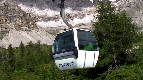
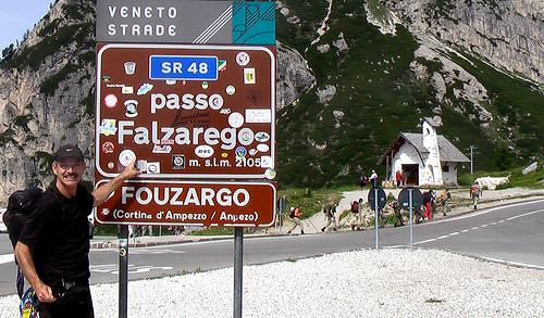
Like my hike to the 3 Peaks, again this trailhead starts high, at a bus stop mountain pass
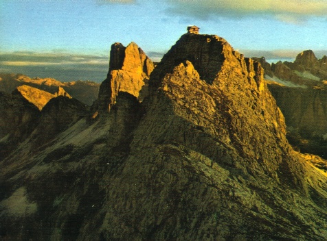
I followed exactly trip #10 from my hiking guide. I planned, as recommended, to sleep the unique and extreme Rifugio Nuvolau 2575m (8450ft)
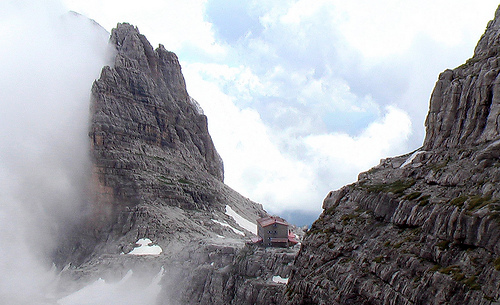
hut at the very TOP of the mountain
Sadly all the bunks were reserved, the only Refugio I’ve found completely full, so far.
This lofty aerie is totally dangerous. It would never be allowed in Canada. I assume one or two people fall to their deaths off the cliff every year.
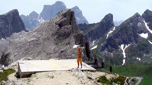
Here’s a guy drying his t-shirt on the helicopter landing pad a few feet from the brink.
I’m a little more cautious getting that close to the drop-off.
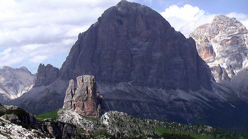
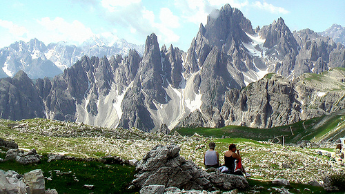
There are the famed 5 towers far below.
From here they don’t look like 5 towers. But from Cortina they do.
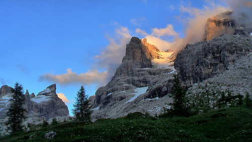
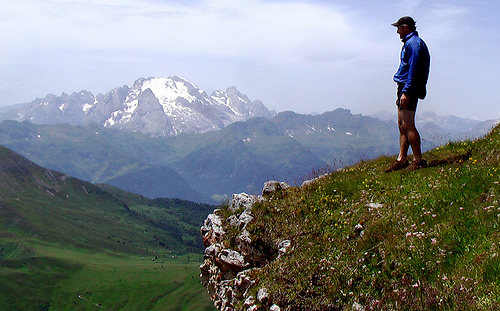
It was a fantastic hike. Just gorgeous. See the rest of my photos.
On the return to my starting point I checked 3 more Refugios. All had space for me. But I did not like any of them. Especially the one that suggested the price 45€.
The one previous charged 26€ for a basic bunk bed.
Happily there was a late bus back to town. I slept in my own tent in Camping Rocchetta back in Cortina. Cost 9€.
The 5 Towers is a well known destination for mountain climbers:
… Cinque Torri, meaning “Five Towers”, is a group of actually more than 5 towers that lies on the south slopes of Falzarego Pass above Cortina d’Ampezzo. …
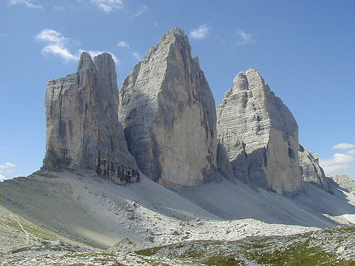
These are the famed and disclaimed 3 Peaks. The most photographed mountains in the Dolomites, I reckon.
… The Drei Zinnen (German for “Three Peaks”), also called the Tre Cime di Lavaredo (Italian), are three distinctive battlement-like peaks, in the Sexten Dolomites of northeastern Italy. They are probably one of the best-known mountain groups in the Alps. …
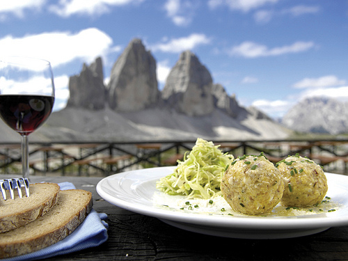
People come to the Locatelli Refuge (IT Rif. Locatelli) to enjoy a fine meal at high altititude.
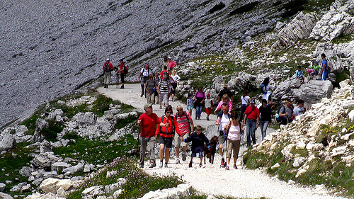
I’ve never seen so many hikers in one place at one time before, except on the Tongariro Crossing in New Zealand.
Why are they here?
It’s easy to take a bus right to 2300m (7545ft), the very base of the mountains.
But, for some reason, the crowds did not bother me. It was wonderful to see so many people exposed to hiking in such an easy and painless way.
If you hate crowds of enthralled visitors, go hike Alaska.
I adored everything about this hike.
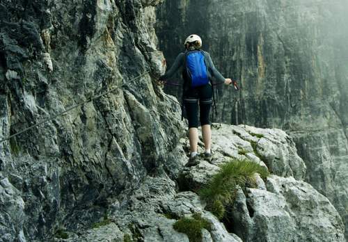
I loved the wild flowers. Alpine meadows. The WW 1 history. The tunnels. Especially the Via ferrata (Iron Way) side trips. I think I’ve found a new life passion.
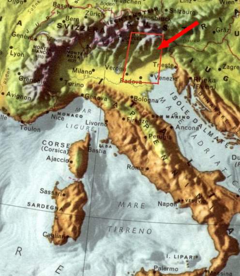
Hiking in Italy is far easier than I expected.
1) Travel to Cortina, Italy
2) Buy a bus ticket to TRAILHEAD at Rif. Auronzo
3) Wander where you like for as long as you like
4) Take a LOT of photos
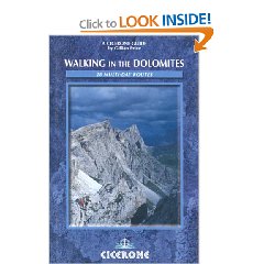
I used Walking in the Dolomites: 28 Multi-Day Routes by Gillian Price. This Cicerone title is the best available in English for this region. This area is covered by hikes 1,2 and 3. Buy your guidebooks in advance of travelling to Italy. English books are not widely available here as there are so many other titles in German and Italian.
No need to carry a hiking pack. There are great mountain huts every hour or two. Hosts will feed you and give you a bed for 40-50 Euro a day.
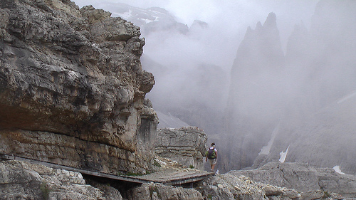
hiking in the clouds
I left a Summit Stone on behalf of artist DSD. Look for it in the cairn atop the carved stone steps starting the Via ferrata closest to Refugio Pian de Cengia. (That’s a FUN Via ferrata by the way. Exhilarating, but safe.)
If looking for more inspiration to plan a trip to Italy, see all 134 of my photos. (I went crazy with the camera.)
SummitJunkie posted a good trip report and photos from an April 9, 2009 summit of the best hike in Death Valley, California.
… The views were jaw dropping, perhaps some of the best I had seen on any peak I have ever climbed. You can see forever, there is nothing as high as you are for over a hundred miles. Absolutely amazing!!
I had to take my time with the pictures, my hands were freezing. I was also having problems with my camera, when the batteries get too cold they stop working. I had the same issue on Shasta and Whitney so knew the solution was to put the camera and batteries inside my jacket to keep them at operating temperature. So between switching hands and batteries, it took me 15 minutes to take these summit pictures. …
On Vancouver Island, in British Columbia, at the Port Alberni Tourist Information Centre, I picked up a free brochure called Mount Arrowsmith. There is a guidebook, but the brochure is all you need to hike this mountain.
The brochure map shows 11 trails for hikers, climbers, snowshoers and skiers.
Close to amazing Cathedral Grove, is one easy access to the mountain, Old (Historic) Arrowsmith Trail.
There’s good parking ($3), pit toilets and a picnic area at the east end of Cameron Lake.
The trailhead across the highway is easy to find … after you know where it is. (I drove by it the first time.)
It starts (deceptively) as a road.
In fact, this route is extremely well marked. It has to be for winter adventurers, when snow covers the track.
This trail gets very steep and rough in places, climbing continuously for about 2hrs.
I was lucky there had been no rain for about a month. In wet conditions you might be scrambling up temporary creeks.
The route is mostly tree locked. That makes getting to Lookout even more enjoyable:
click for larger size
If you have about 8hrs, you can continue on this trail to the now defunct Mt. Cokely ski hill. One trip report calls that 20km return.
Better, however, would be to slog up in the afternoon. Wild camp tent overnight. And explore the top trails next day.