Section Hiking Pacific Crest Trail – Palm Springs to Agua Dulce

Trip report by BestHike editor Rick McCharles
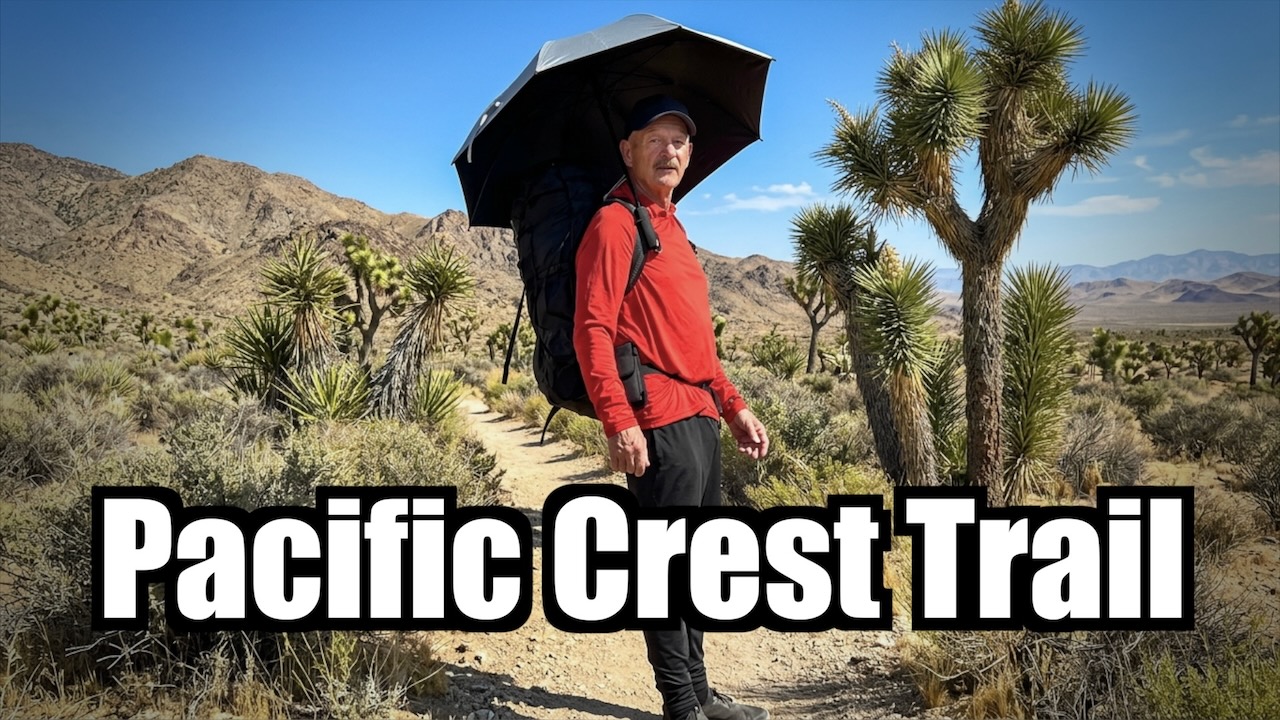
I really enjoyed a couple of weeks alongside thru hikers in a hot, dry desert section of the PCT.

Click PLAY or watch my highlights on YouTube. (6min)

Hot, dry โ€” but not flat. I ended up on the summits of Mt. San Jacinto (10,834 ft) and Mt. Baden-Powell (9,399 ft). Then had to descend.

Palm Springs to Agua Dulce is about 245 PCT miles. My section was mostly rocky, sun-baked canyons and scrub.

Many complain about the relentless wind. Personally, I like wind as it cools you off.

I skipped some of those miles taking 3 rides along the way. Of course I added miles hiking in from the Palm Springs Tramway. And ALL hikers add miles when they hike into and out of resupply stops.
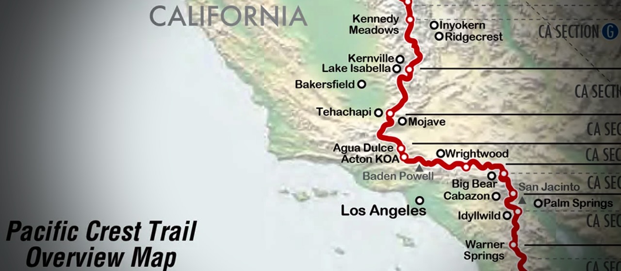
I flew into Palm Springs. Bought camping gas and stopped at a grocery. Then took the bus to the bottom of famed Palm Springs Aerial Tramway.

Turns out there’s no public transit for the last 3 miles. Oops. Happily, a guy on a motorcycle noticed my dilemma, offering a lift to the base. My first Trail Angel.
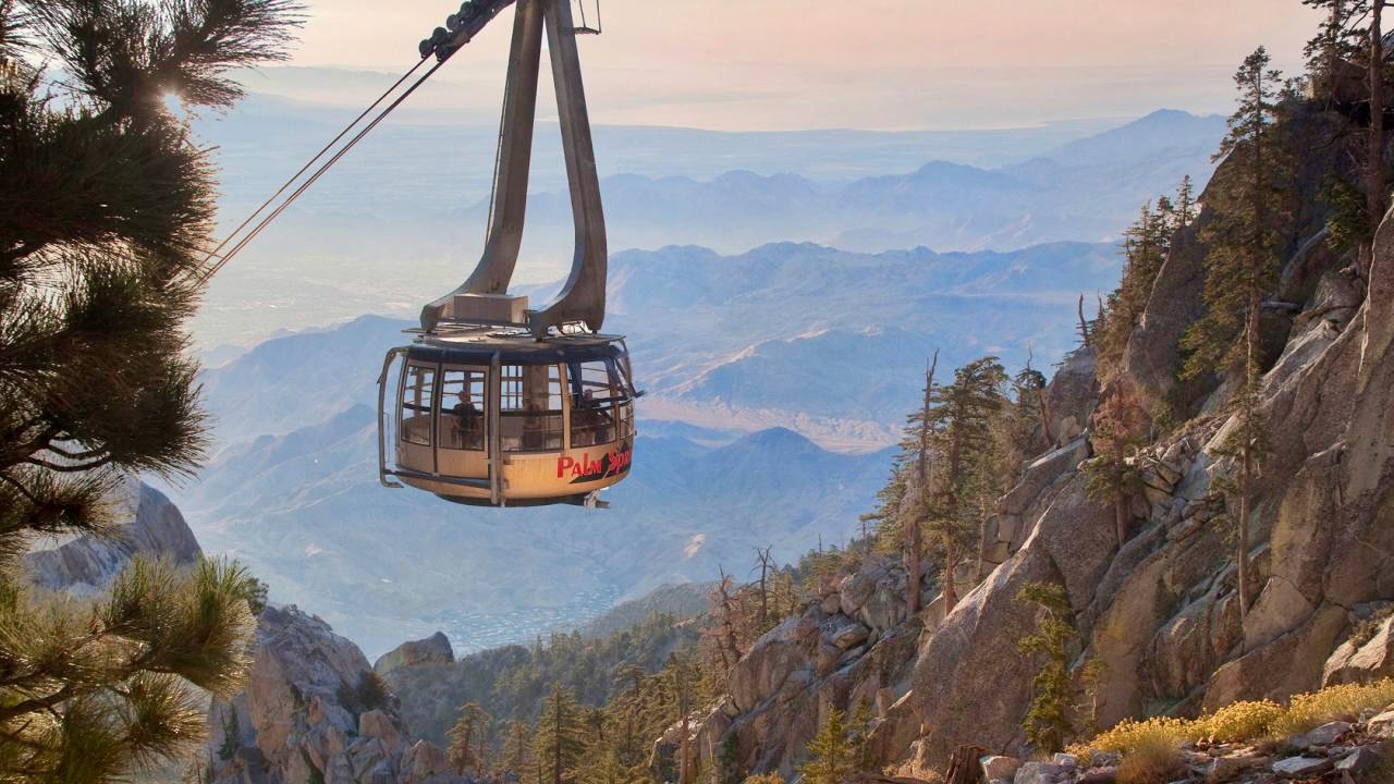
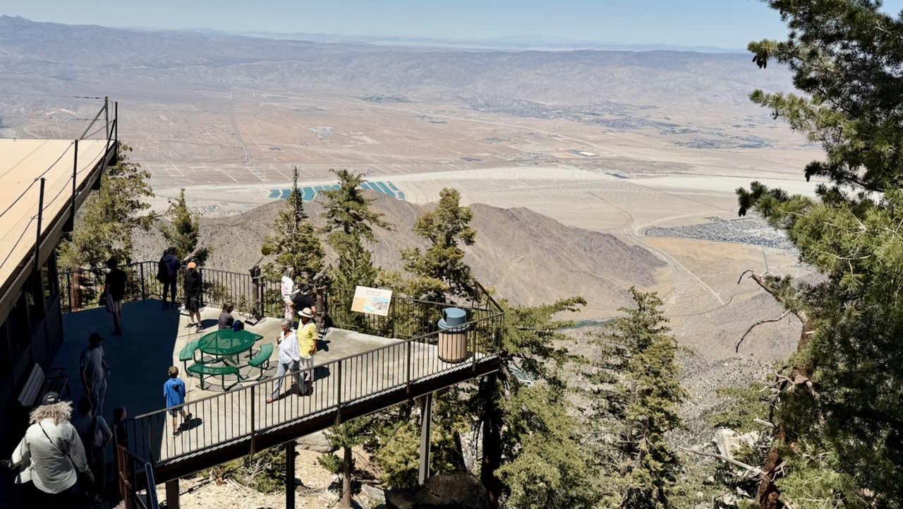
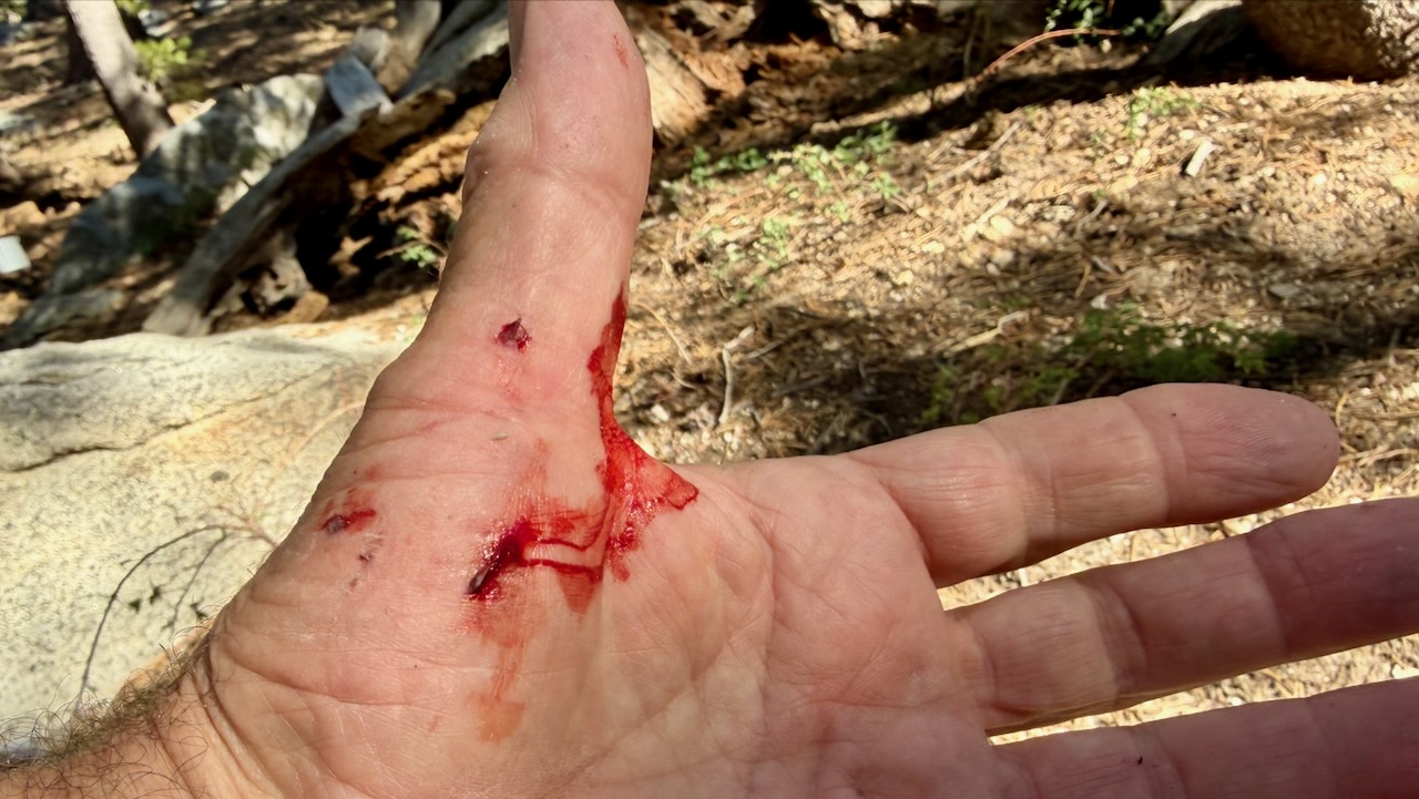
Within an hour, I had my only real injury. Standing up, I forgot I was wearing a heavy pack, and fell backwards over a rock. Getting scratched up. … Dumb mistake.
I enjoyed the short side trip to San Jacinto Peak. It’s over 10,000 feet higher than Palm Springs.
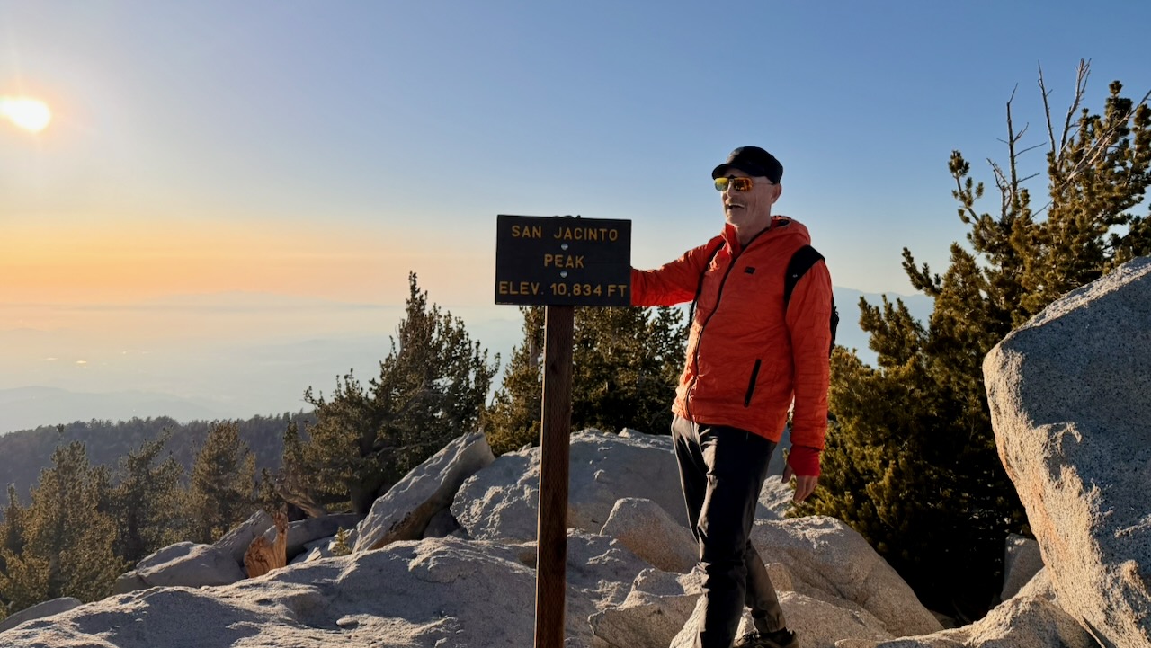
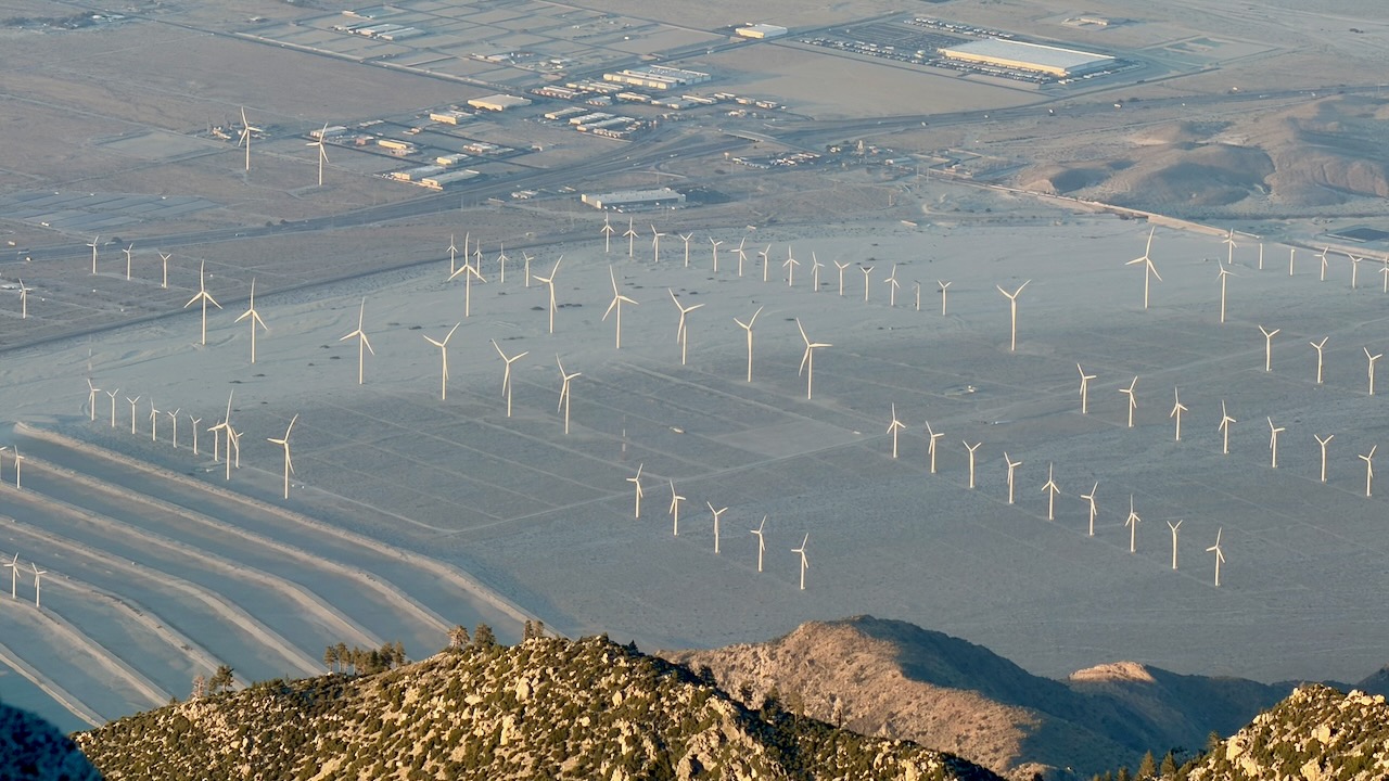
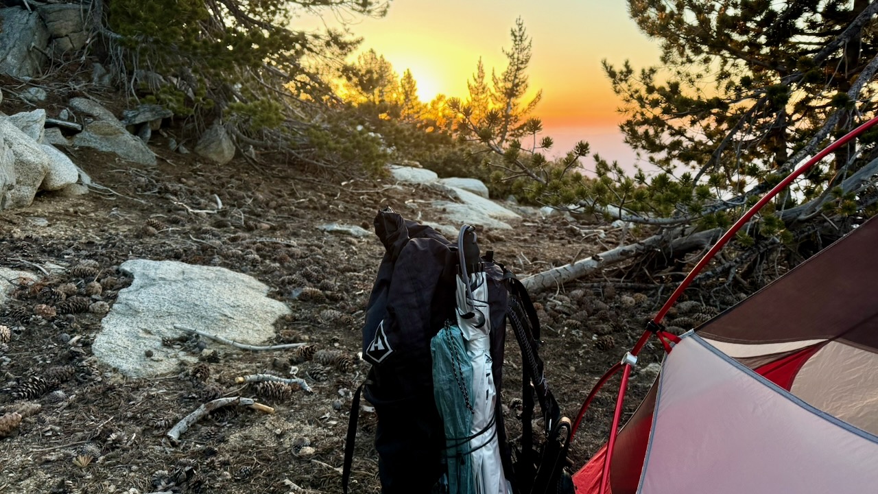
I camped nearby. And was surprisingly chilly in the sleeping bag.
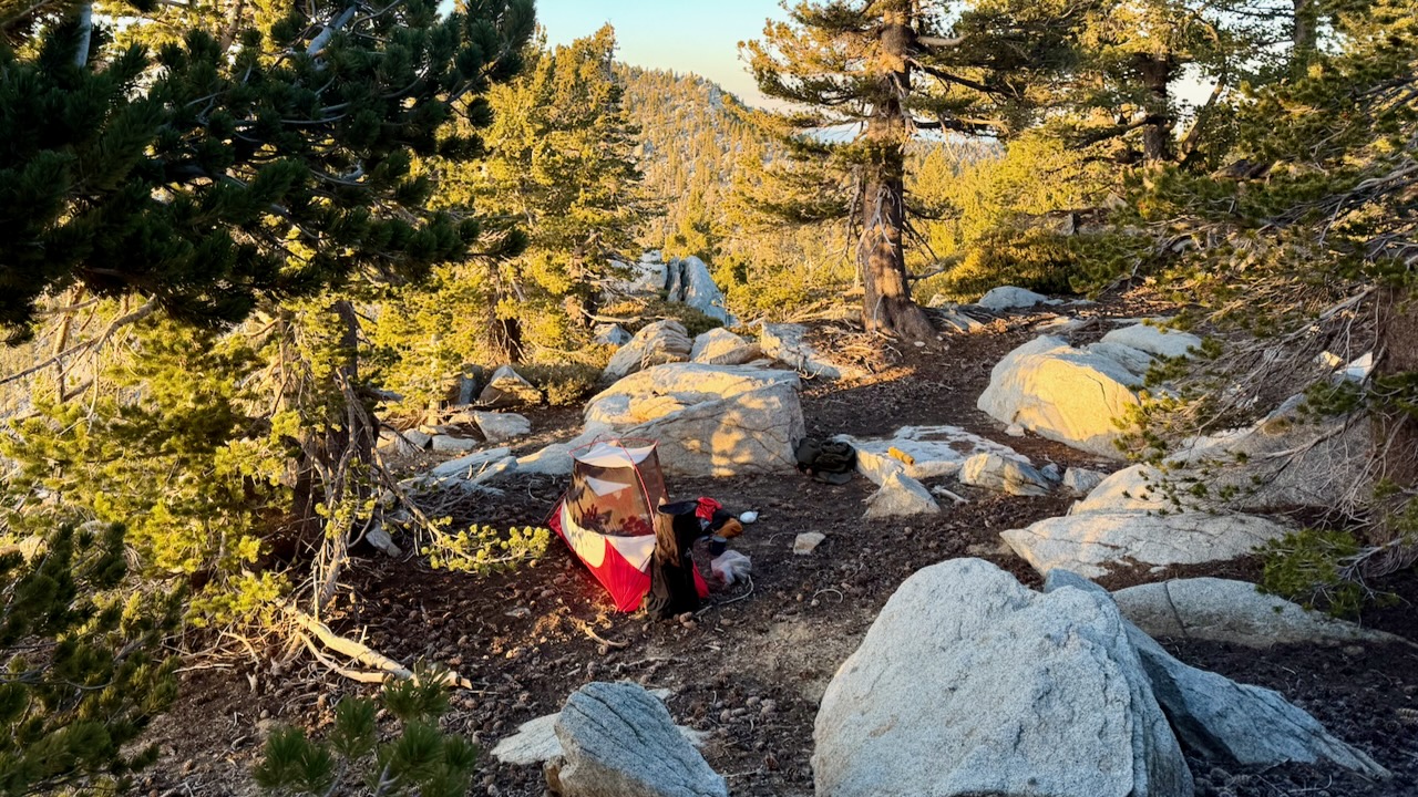
Rather than post a day-by-day account, here are major themes of my 2 weeks on trail.

Priorities

  • Staying Hydrated
  • Foot Care
  • Avoiding Heat Emergencies

Wild Camping

About 5:30pm I’d start looking for a campsite. Ideally near a water source.

IF there is a Bear Locker, use it. At the excellent Little Jimmy Campground we advised everyone to lock up food and backpacks.
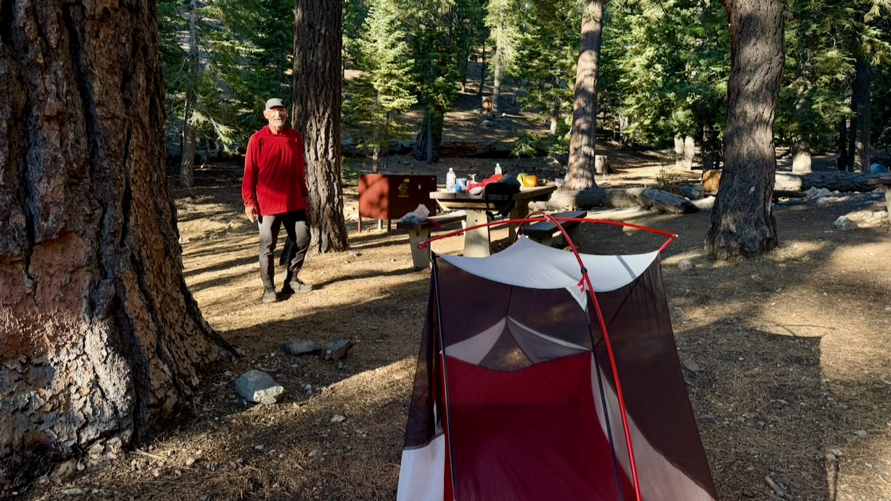
About 2am a bear arrived to check if lockers were closed. Checked every tent. Started dragging a backpack out of a vestibule as it had some food in it. The hiker (now known as Bear Bait) shouted and had a tug-of-war with the beast, eventually winning the battle for his pack.

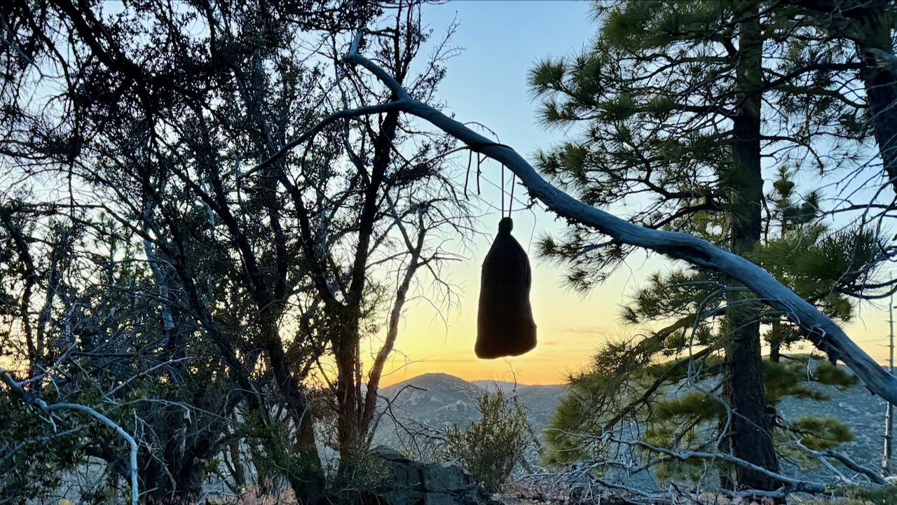
If there is no Bear Locker, hang your backpack away from insects & rodents.
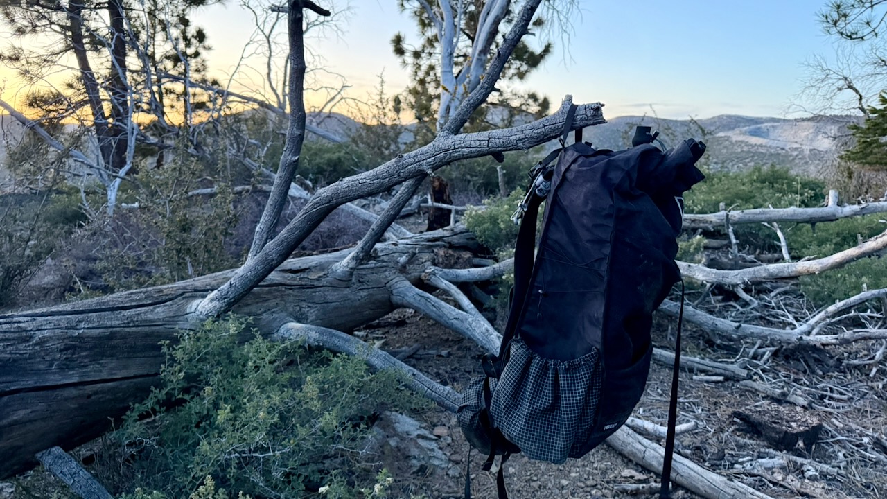
I had my food in an Ursack, and tied it away on a tree.
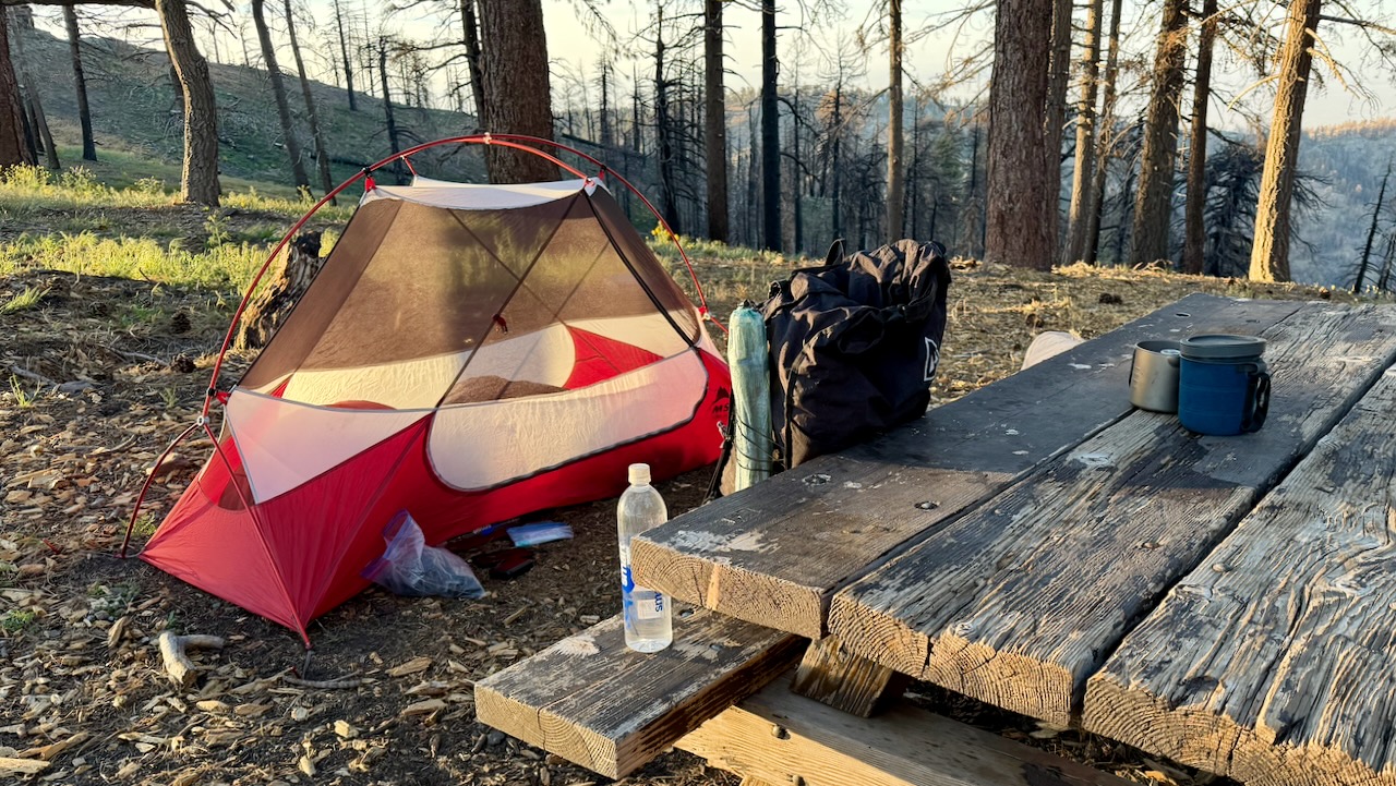
I do love having a picnic table.

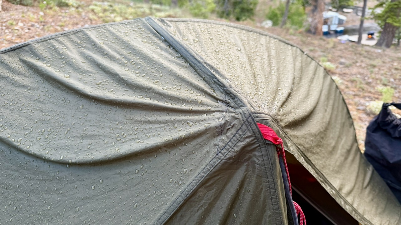
As it turned out, I only put my fly on the tent 2 nights of 17. Why didn’t somebody tell me it never rains in southern California? ๐Ÿ˜€

Foot Care

As I’d suffered blisters on the PCT once in the past, this time I brought 2 pairs of hiking shoes, both about 1.5 sizes larger than what I wear in the city. And both were WIDE sized.

I changed shoes regularly. Changed socks often. Washed and cooled my feet every chance I got. And it worked.
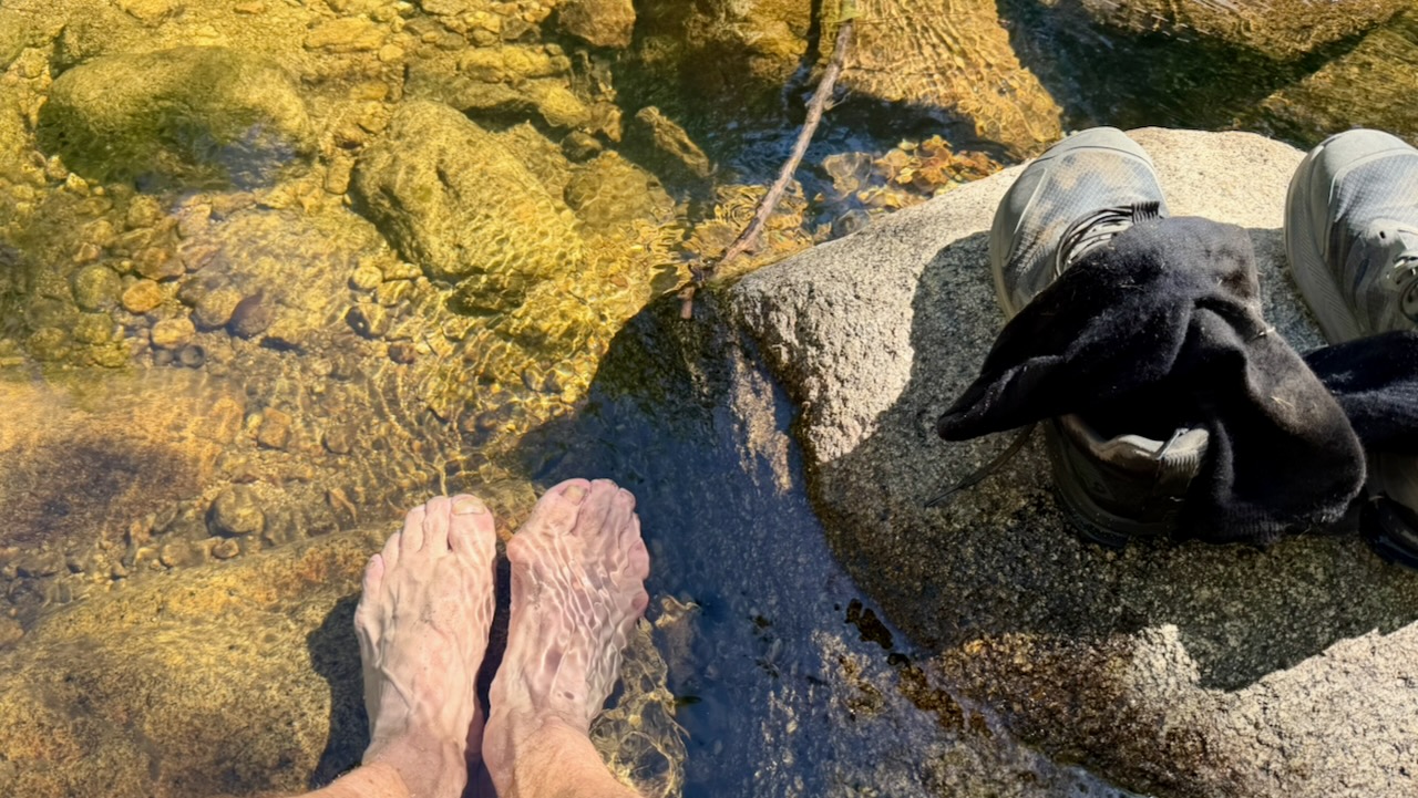
Near the end of my desert hiking, I bought a pair of Injinji toesocks. I think they might have helped, too.

Pack Weight

Only hiking a couple of weeks, my pack was heavier than most. Starting with 10 meals, carrying 3-4 litres of water, it might have been close to 40 pounds.

After a week or so, it was near 32 pounds.

The lighter, the better. I did find my pack too heavy.
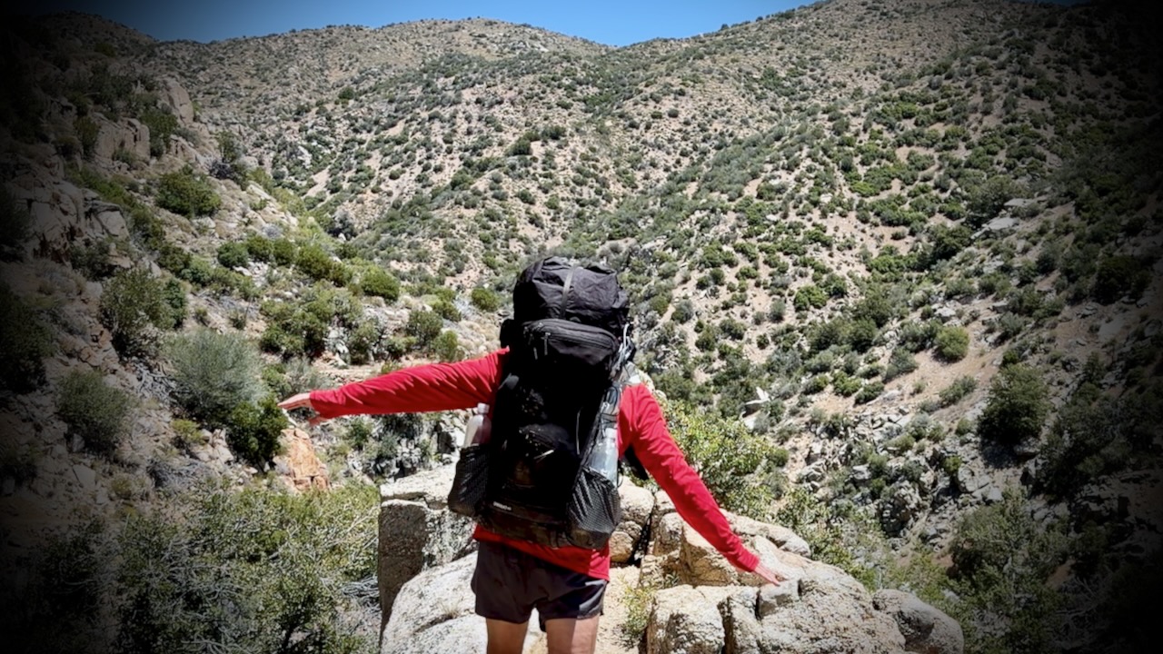
On the other hand, I love my pack itself โž™ the Hyperlite Unbound 55ย Backpack.

Here’s my full gear list. You can decide what I should have left behind. ๐Ÿ˜€

Risk of Heat Emergency

Personally, I love the southern California weather. Sunny and dry. Day after day of blue skies.

Of course I kept covered up as much as possible. A sun hoodie is essential.
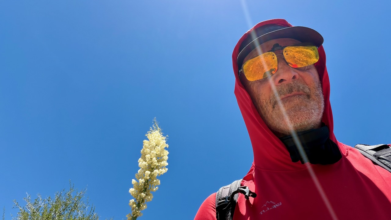
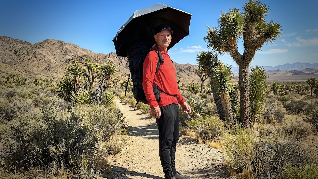
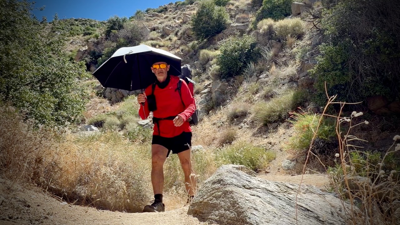
I did use a hiking umbrella for the first time. IF it was very hot. I found it easier to carry and adjust for wind often, rather than tie it on to my pack. They are popular in the desert section with PCT hikers.
Screenshot

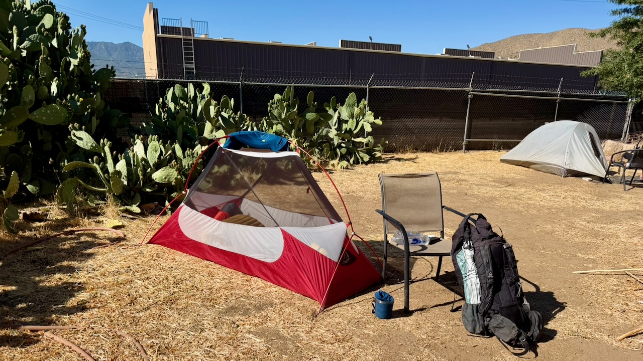
One very experienced desert hiker known as Iceaxe suffered from a long day in the sun. Two day hikers helped get him to town where he took a zero to recover. We camped for free behind a pub.
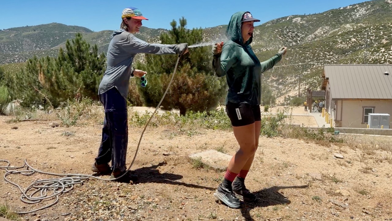
At one of the rare hoses, PCT girls gone wild soaked themselves. Smart.
Water

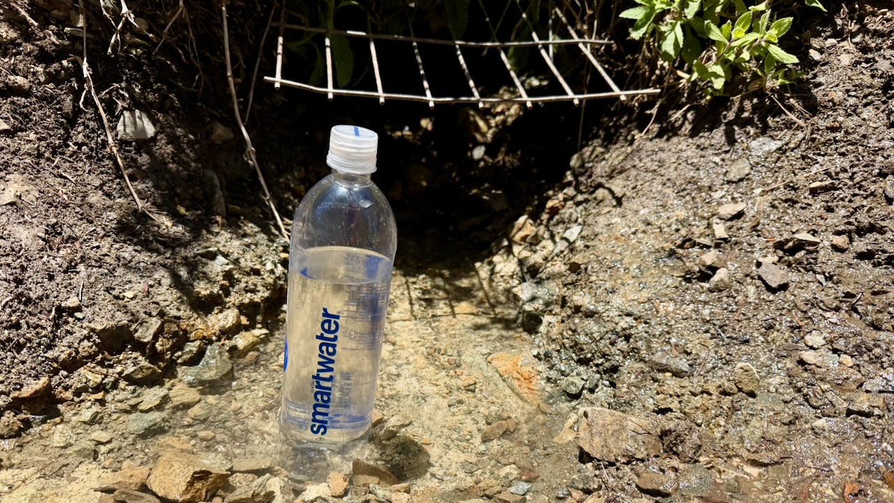
Much discussion regards water sources in the desert. And how many litres to carry. Often I started with 3-4 litres. The heaviest thing in my pack.

Most hikers filtered almost everything. For me boiling is best. If the water looked great โ€”ย directly from a high mountain spring โ€”ย I did not treat. If worried, I threw in a purification tablet & flavouring. Usually Mio.

I probably should have had an electrolyte replacement like Tailwind.
Trail Magic

Wonderful on the PCT is when you arrive near a roadway and find that some volunteer has left water and/or treats for hikers.
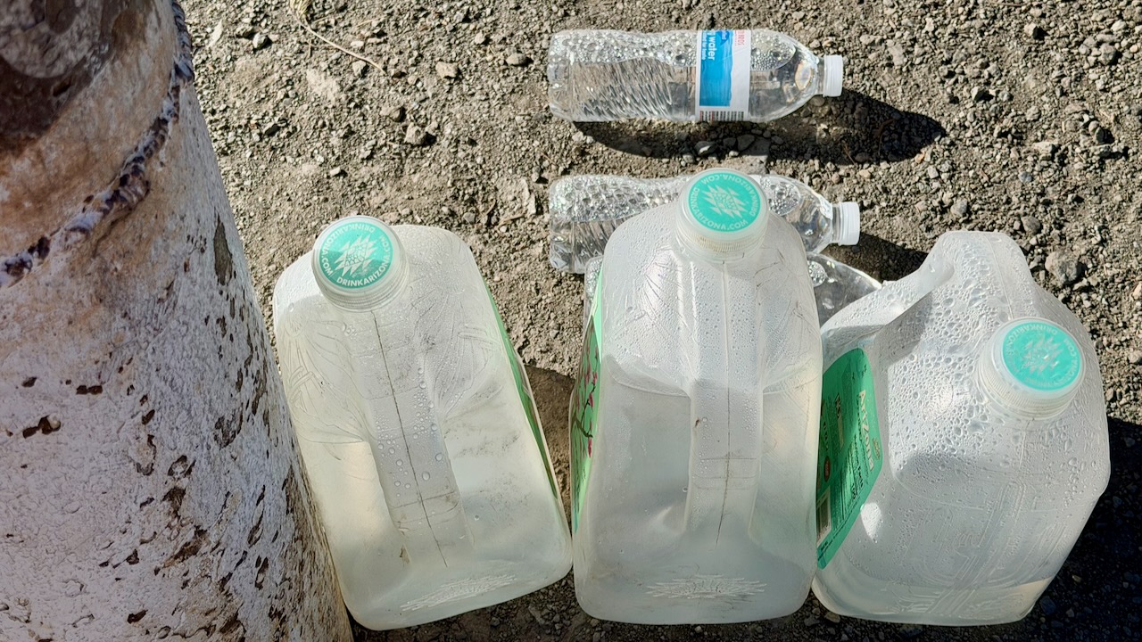
My best Trail Magic was hiking in to find Marco all set up in a parking lot.
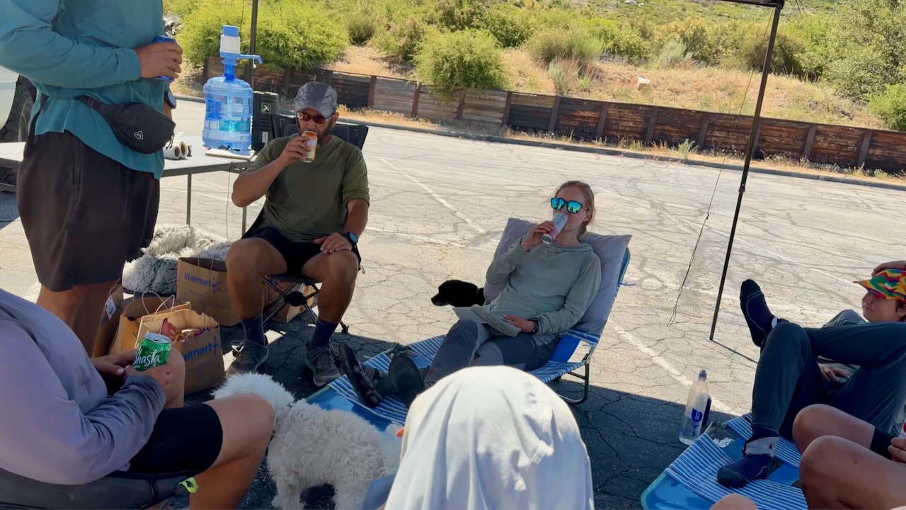
Many hikers stayed for hours enjoying his cold drinks, fresh fruit, hot dogs, and burritos. He’d driven 3 hours from home to provide help in a tough spot on the trail. In fact, I’m now planning to join Marco on an adventure next summer.

Thru Hikers

The highlight for me was meeting and chatting with people crazy enough to want to hike continually for months. Here are 2 legends known as Canadian Bacon. They’d finish the entire PCT in 2026, their last section over a number of years.
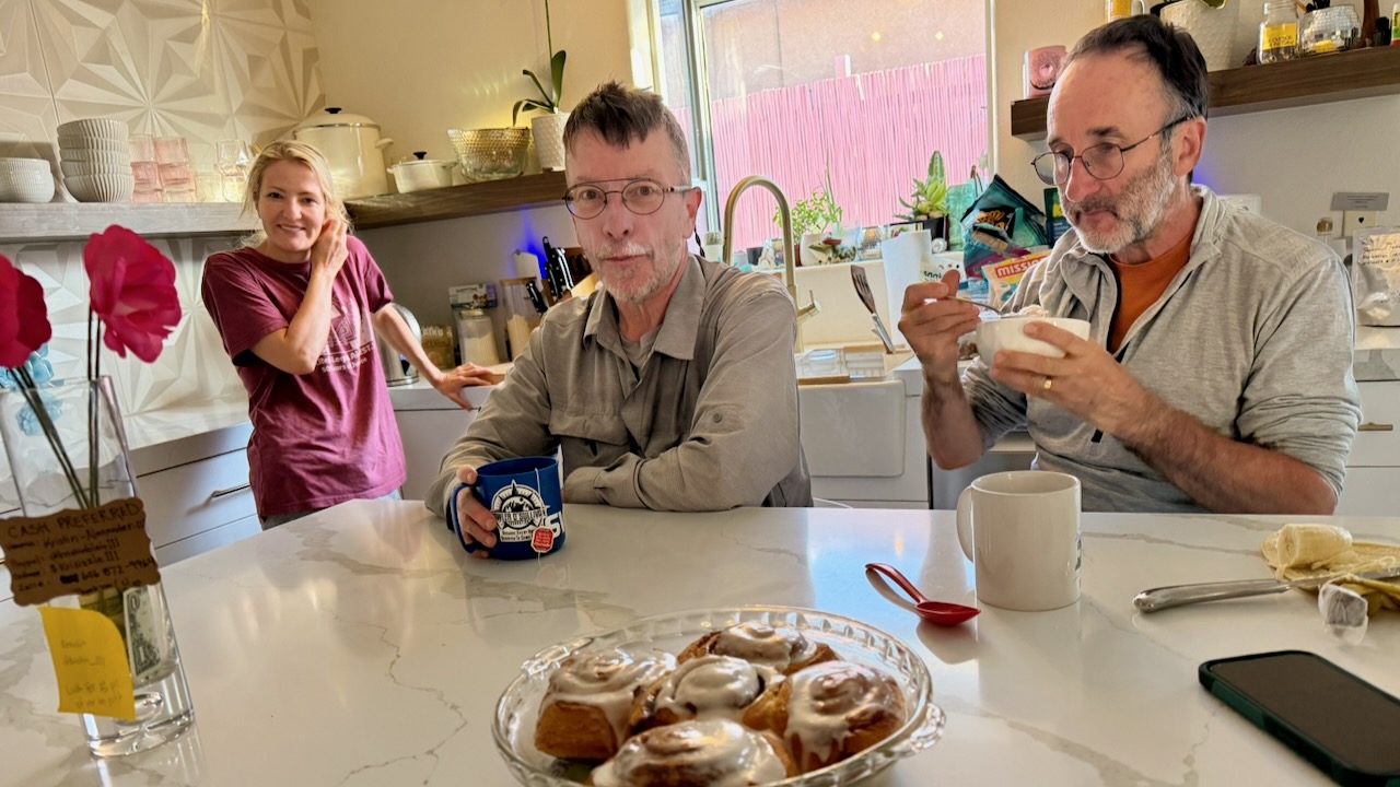
Enjoying Mount San Jacinto Hikerโ€™s Haven

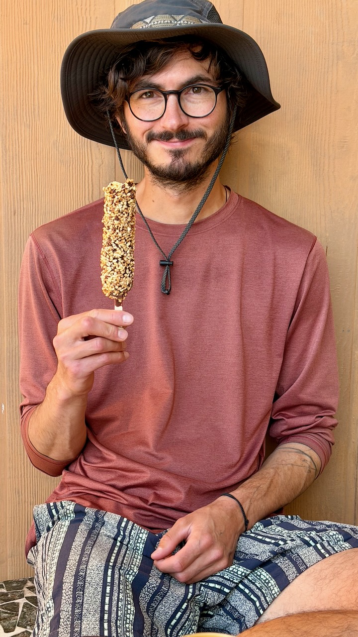
The guy I met most likely to finish the entire PCT in one year was Roman from Switzerland. He hadn’t acquired a trail name, as yet. Here he is after one month, looking like he just got off the plane. With a budget of $10,000 and no injuries, so far, Roman’s cruising to Canada.
Cheating

From Palm Springs to Agua Dulce, 3 times I skipped miles, taking motor vehicles. Only the purists โ€” like Roman โ€” do every single mile. It’s often logistically smart to bypass difficult sections.

For example, I shared a Lyft from Whitewater to Big Bear to avoid a huge, hot climb.
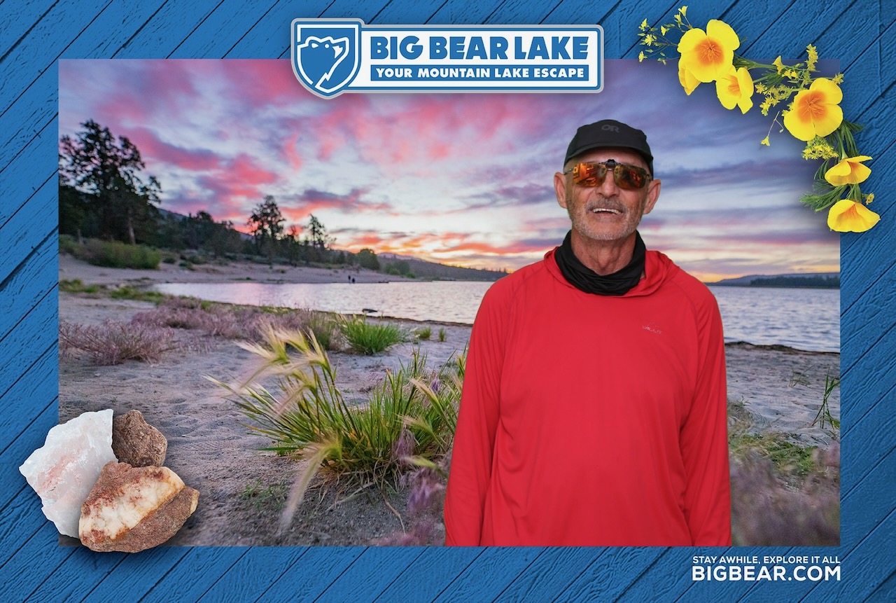
OUT of Big Bear, however, it’s a huge hot climb of thousands of feet to the top of Mount Baden-Powell.

Food & Resupply

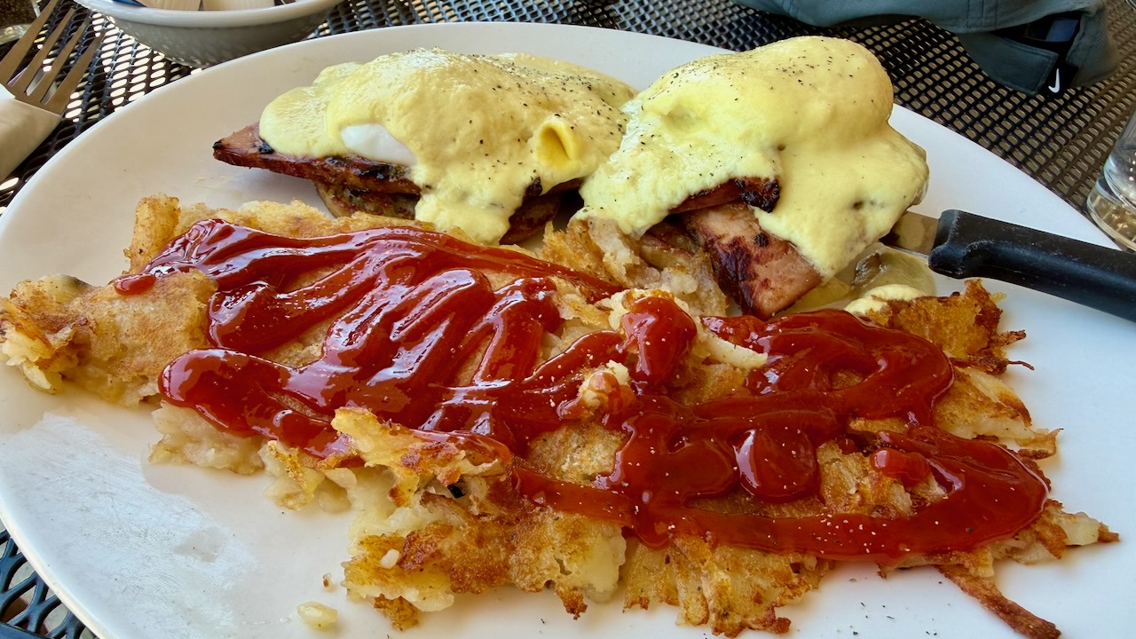
Like most others, I indulged in high calorie food every chance I got.
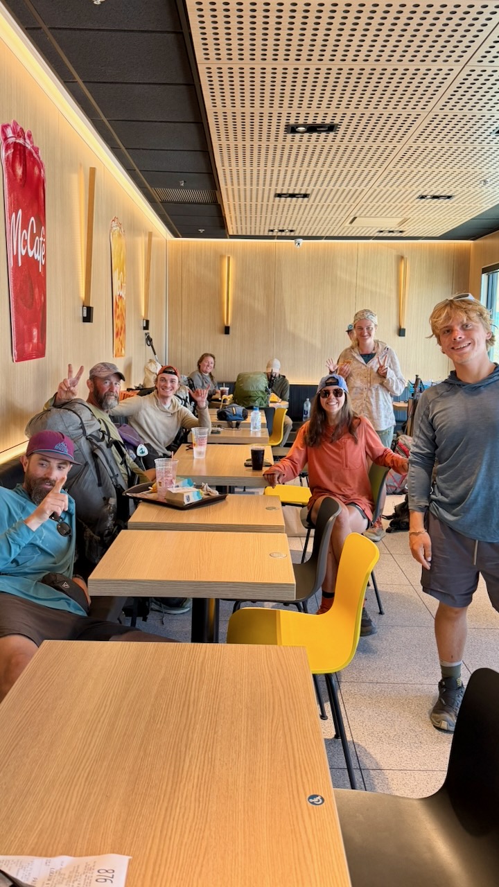
All these hikers gorging at McDonalds swear they never enter the place in their real lives.
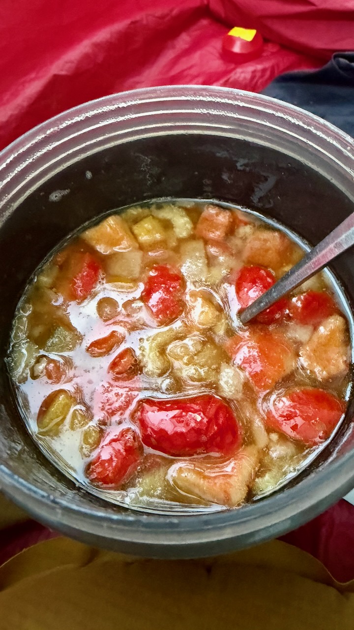
On the trail, I carried a stove and made up meals that had been flash frozen by my niece Stacey. Delicious.
Forest Fire

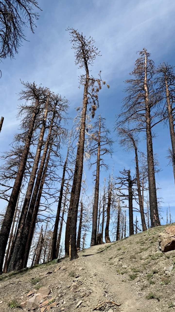
Happily, my 2 weeks were unaffected by fires in 2026. We saw smoke behind us one day. And hiked sections that had been burnt in recent decades.
Road Walking

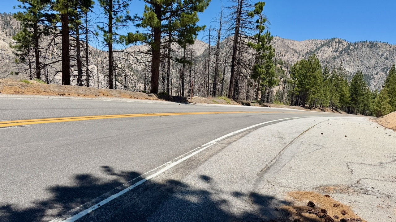
One mandatory detour had us road walking. Surprisingly, I found it a refreshing change.
Navigation

Almost everyone uses the expensive FarOut PCT app. It works offline and has some up-to-date comments on waypoints that are super valuable.

On the other hand, the interface is ugly and not detailed enough. I often switched to the free Maps.me app offline. Every hiker gets lost, sooner or later.

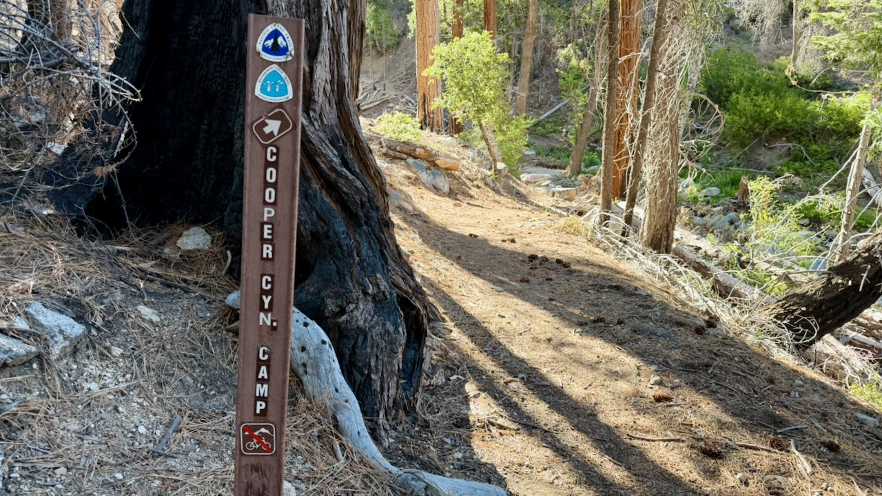
There is signage. But it’s not always clear which way to go when you reach an intersection.
Ticks and Snakes

I found one tick on my leg. Removed it before a bite. And saw one tick on a leaf.

It’s an issue, for sure, in southern California. I carried tweezers specifically for tick removal, if necessary.

Check this post โž™ PCT First Aid.

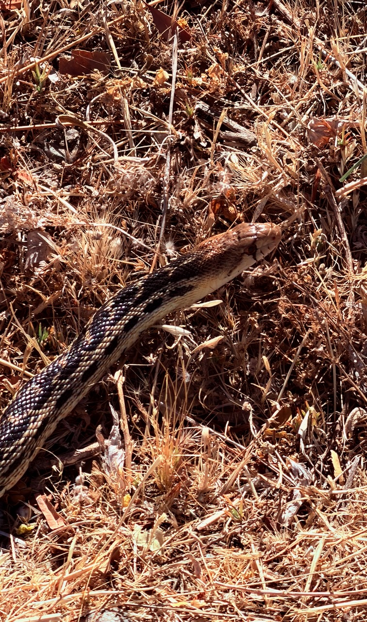
I saw 3 snakes over two weeks. No Rattlers. The only one of the 3 that stood still for a photo was this friendly Gopher Snake.

It’s quite common to find Rattle Snakes close to the trail.
Mosquitoes and Biting Flies

Surprisingly, I suffered many campsites with annoying insects. This despite the weather being hot and dry.

Keep your tent closed or you may have to hunt down mosquitoes before going to sleep.

Getting off the PCT

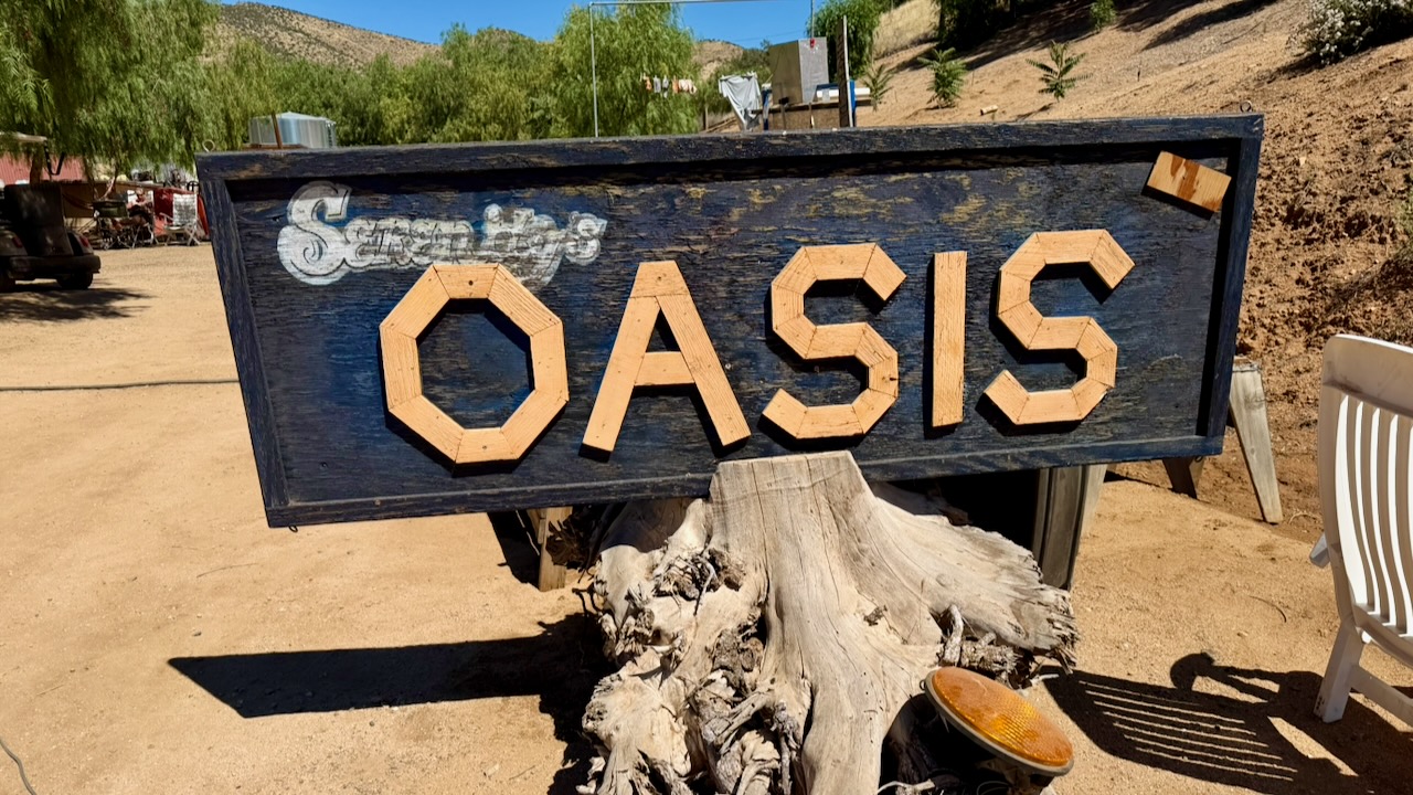
I finished my 2 weeks at Farmer John’s excellent Serenity’s Oasis in Agua Dulce.
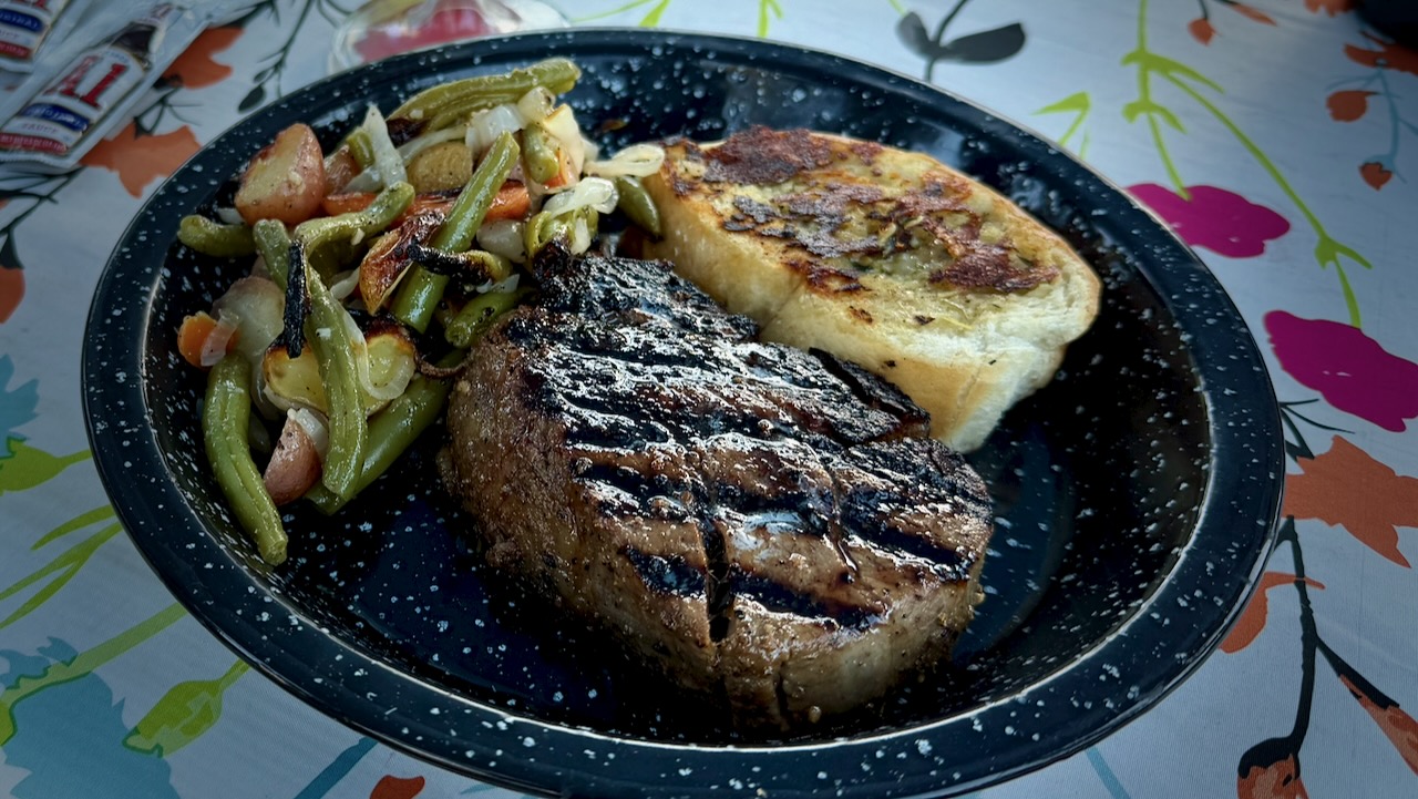
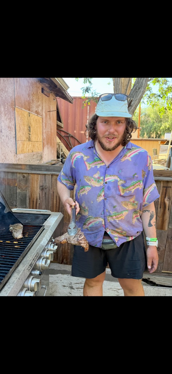
A professional chef grilled New York steak on the barbecues provided.
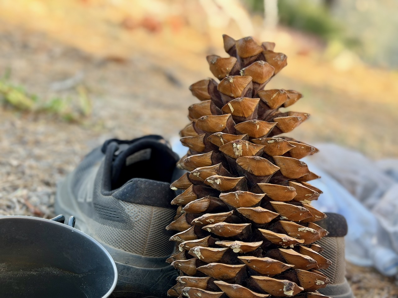
Most hikers needing to leave the trail on my section try to find a bus heading west to Los Angeles.

I convinced friends to drive 5 hours and pick me up. Calling it a desert rescue. ๐Ÿ˜€

Great fun. I certainly will try to hike more sections of the PCT in future.
Hiking Vegas in the SUMMER ??

Trip report by BestHike editor Rick McCharles

Only mad dogs and โ€ฆ hikers go out in the midday sun?  ๐Ÿ˜€ 

Rick McCharles hiking Nevada

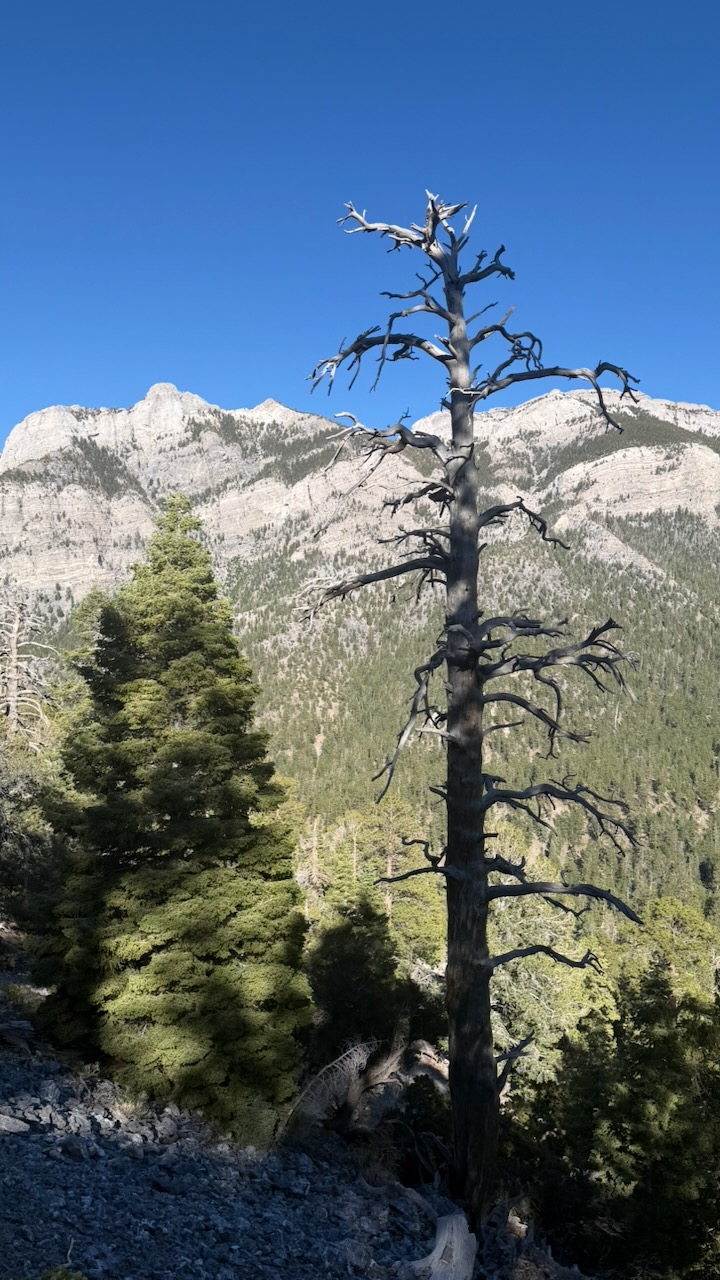
Surprisingly, when Las Vegas is sweltering over 100 Fahrenheit, an hour away you can hike Mount Charleston (11,916 feet or 3,632 m), typically 20ยฐF to 25ยฐF cooler than the city.

Click PLAY or get a glimpse on YouTube.  Late June 2026, I tented 4 nights. This video is a compilation of several day hikes.  


VERY sunny. Long days. But I was never too hot.

It is gorgeous.

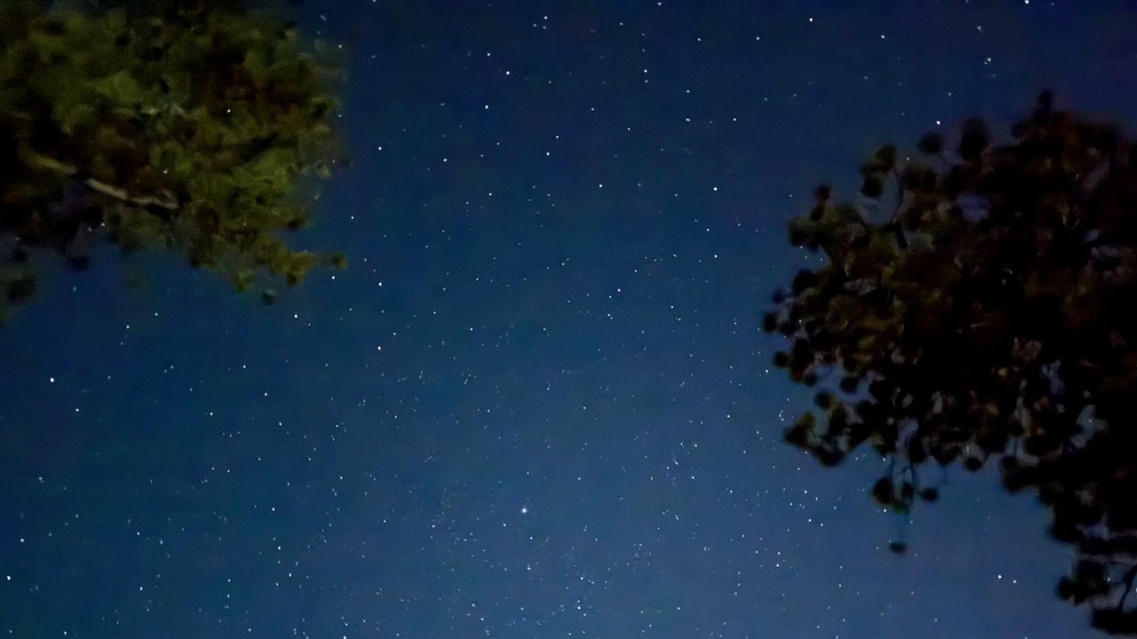
Night skies fantastic.

There are plenty of hiking trails to choose from within the Mount Charleston Wilderness, which is within the Spring Mountains National Recreation Area of the Humboldtโ€“Toiyabe National Forest.

AllTrails lists some of the best.  

Over 60 miles of trails, most over 6000ft in elevation. 

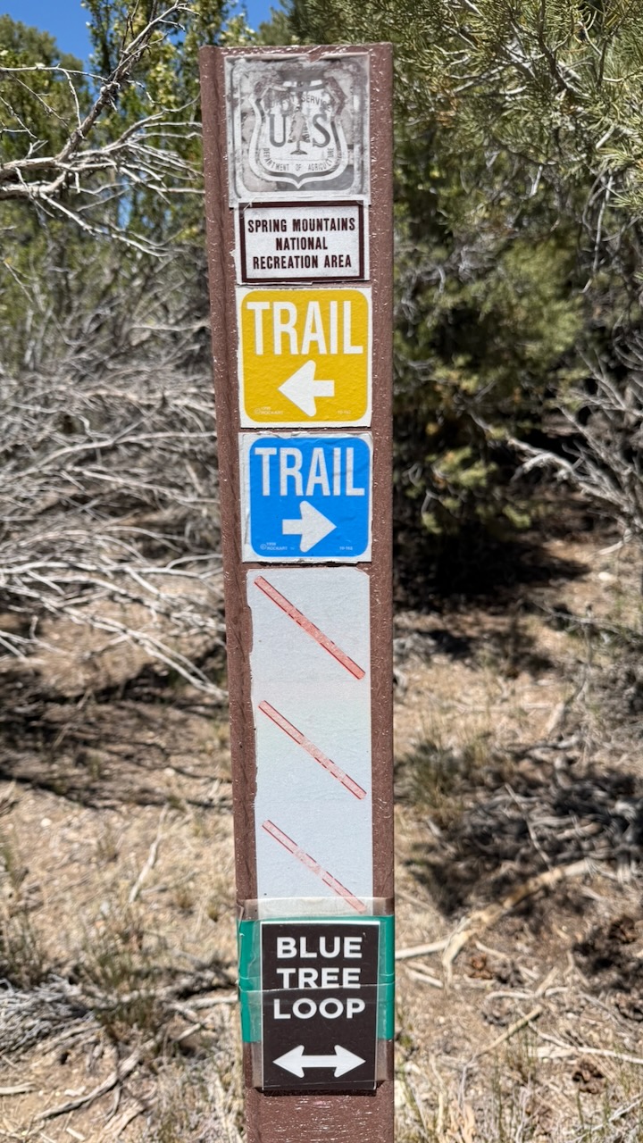
Some trails are signed. But I randomly connected different trails using the Maps.me app offline. Phone service is limited there in 2026.

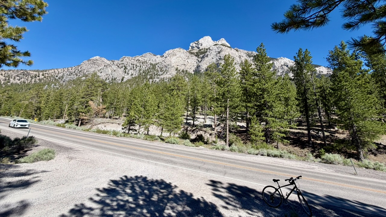
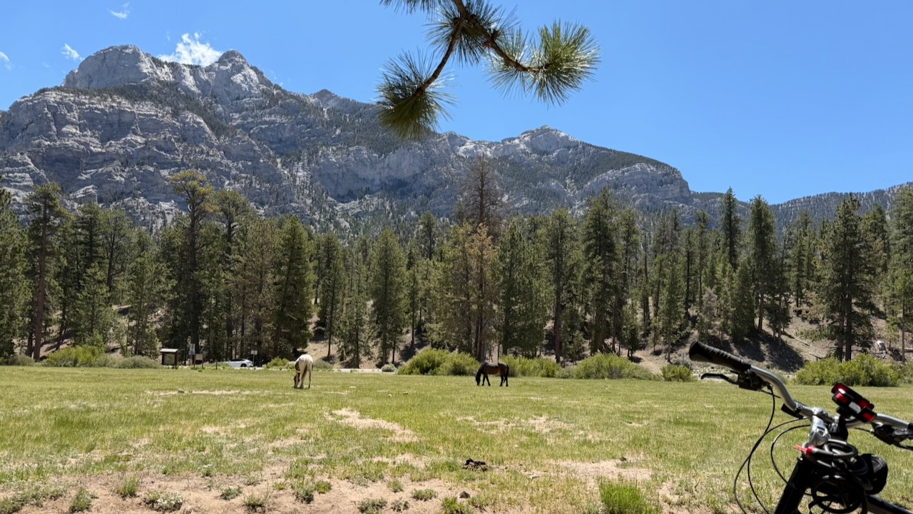
I had a bike and roamed up and down the mountain, as well.

Click PLAY or watch it on YouTube.

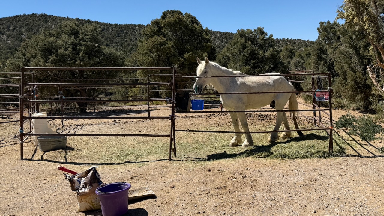
Wild horses ignore tourists. 

Trail rides are available. And many bring their own horse up to ride in cooler weather.

Mount Charleston has about 200 camp sites and over 150 picnic areas.  

Last 2 nights I joined friends at McWilliams Campground which is close to the Lee Canyon Ski / Mountain Bike Resort and restaurants. 

This is glamping.

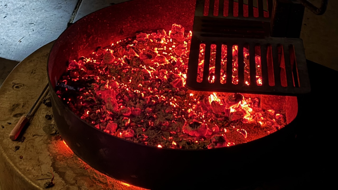
Open fires are still allowed in campgrounds, despite the high risk of wild fire.
We hiked the NEW Lee Canyon trail from the ski resort, close to 2 miles up over a vertical gain of 850 feet.  And 2 miles back.  

Needless to say, we enjoyed a cold beverage at the restaurant on our return. 

You can ride a chairlift up and hike down, if you prefer. 

To plan your trip, check the Go Mt. Charleston website for up-to-date trail maps and safety alerts.

Surprisingly, it rained on our last night.

My GEAR for 500 Miles on the PCT

by BestHike editor Rick McCharles

I have a PERMIT for 523.0 miles from Idyllwild to Kennedy Meadows South in California.

Starting May 26, 2026.

I’m hoping to survive for at least 14 days of that. ๐Ÿ˜€

GEAR should be as light as possible.

Of course there will be resupply food and plenty of water to carry, as well.
For this particular adventure, my priorities are …

  • Staying Hydrated
  • Foot Care
  • Avoiding Heat Emergencies

I’m trying a hiking umbrella for the first time. Plan to switch between shoes & socks several times each day. I once had to quit another section of the PCT due to blisters.

photo edited with A.I.

Sleeping

Walking

Clothing

  • Janji Transit Tech Pant
  • Janji 5 inch Running Shorts
  • Red Sun Hoodie
  • Swift Ultra Light Cap
  • Swift Ulta Light Cap (long brim) 
  • Wool Blend t-shirt
  • North Ridge Wool t-shirt blue
  • red Nike quick dry t-shirt
  • Hiking Shoe 1 – Altraย & Altra Gaiters
  • Hiking Shoe 2 – New Balance
  • Socks wool – medium x 2 Danish Endurance
  • Sock liners wool – medium x 3 Danish Endurance
  • Injinji Toe Socks x 1
  • Running Shorts x 3
  • Black summer Buff
  • Canadian flag Buff
  • Clip-on Sunglasses
  • Frogg Toggs Rain Jacket
  • Helly Hansen Red Hooded Puffy

Eating & Drinking

  • PocketRocket Deluxe Stove 
  • Fuel
  • Long lighters x 2 
  • Titan Kettle 
  • Pot scrubber 
  • GSI mug / bowl 
  • Metal Spoon
  • Microfibre cloth for clean-ups
  • Water Bottles (up to 8 litres)
  • Sawyer Squeeze Water Filter 
  • Water Purification Tablets – Package of 30 
  • Fabric Grocery Bag

Electronics

  • Red Stuff Sack
  • iPhone 16 Pro & cable
  • FarOut PCT app (navigation)
  • EarPods & cable
  • iPhone 17 Pro Max & cable (camera)
  • ULANZI MT-33 Phone Tripod
  • USB-C storage for phone
  • Neo 2 Drone
  • Powerbanks x 2

Ditty Bag

  • Green Stuff sack
  • Fingernail clippers
  • Toothbrush & Toothpaste
  • Tweezers (ticks)
  • Prescriptions
  • Aspirin
  • Antacid
  • Vitamin Gummies
  • Creatine Gummies
  • Sunscreen
  • Alcohol Gel
  • Wilderness Wipes
  • Toilet Paper
  • Bandaids
  • Denture tablets & Case
  • Duct tape
  • Athletic tape

Other

  • Hip Pack
  • 2 Credit cards & bank card
  • Cash
  • 16L Matador ReFraction Packable Backpack 
  • Six Moon Designs – Silver Shadow Carbon Trekking Umbrella
  • Gossamer Gear – Handsfree Umbrella Clamp
  • AirTags
  • Waterproof Passport Case & Passport
  • Paper Maps
  • Garbage Bag (green for dirties)
  • Garbage Bag (clear for clean)
  • 55 Gallon Garden Trash Bag (pack liner)

Food

  • Flash Frozen Meals x 10 to start
  • Cashews
  • Coffee
  • Tea
  • Spice flavouring
  • Protein Bars x 8
  • Smoked Cheddar
  • Raisins
  • Dried Mango

I’m Hiking 500 Miles on the Pacific Crest Trail

by BestHike editor Rick McCharles

Well …

I have a PERMIT for 523.0 miles from Idyllwild to Kennedy Meadows South in California.

Starting May 26, 2026.

It remains to be seen just how many of those 523 miles I can finish. ๐Ÿ˜€

I’ll be happy with 14 -21 days.

Wish me luck.

A.I. image

I’ll be testing some new gear. Hiking lighter than ever before โ€” as there will be some major water carrying in the desert.

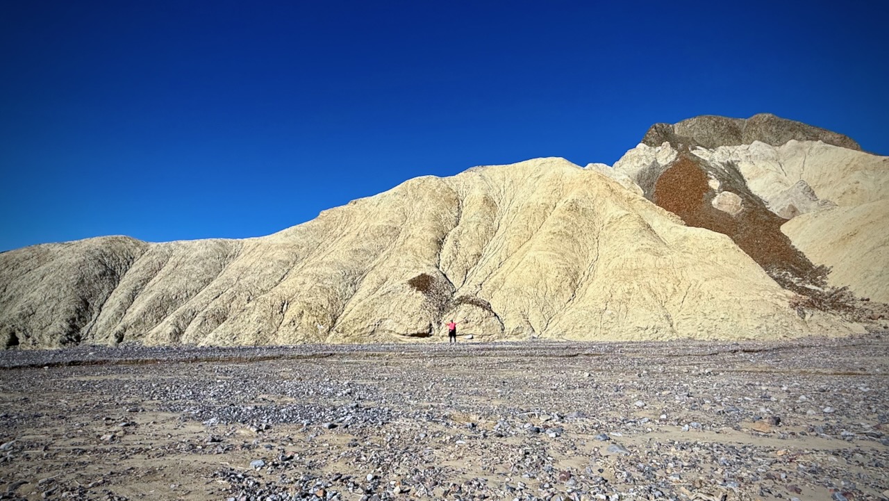
Golden Canyon Trail, Death Valley

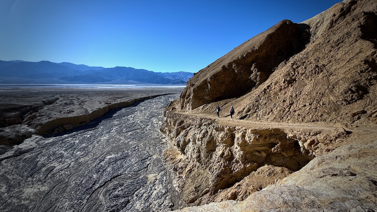
We hiked Death Valley in late December on a (relatively) cool day.

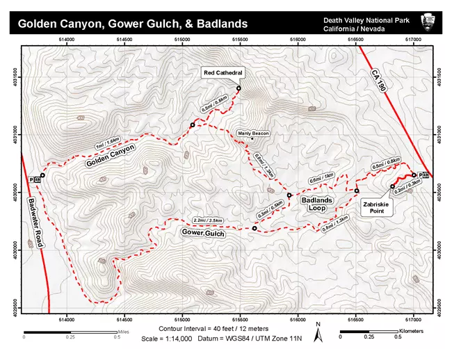
Golden Canyon to the Red Cathedral out-and-back is likely the most popular hike.

Click PLAY or watch it on YouTube.

We did the Golden Canyon to Gower Gulch Loop.

About 4 miles in about 2 hours.

Overconfident, we left the map in the car and forgot to download the app for offline. Oops.

Signage is minimal and sometimes confusing. At one junction we waited for other hikers to confirm direction.

Click PLAY or watch it on YouTube.

Highly recommended โ€”ย but not in the heat of summer.

Kraft Mountain & Calico Hills Loop, Las Vegas

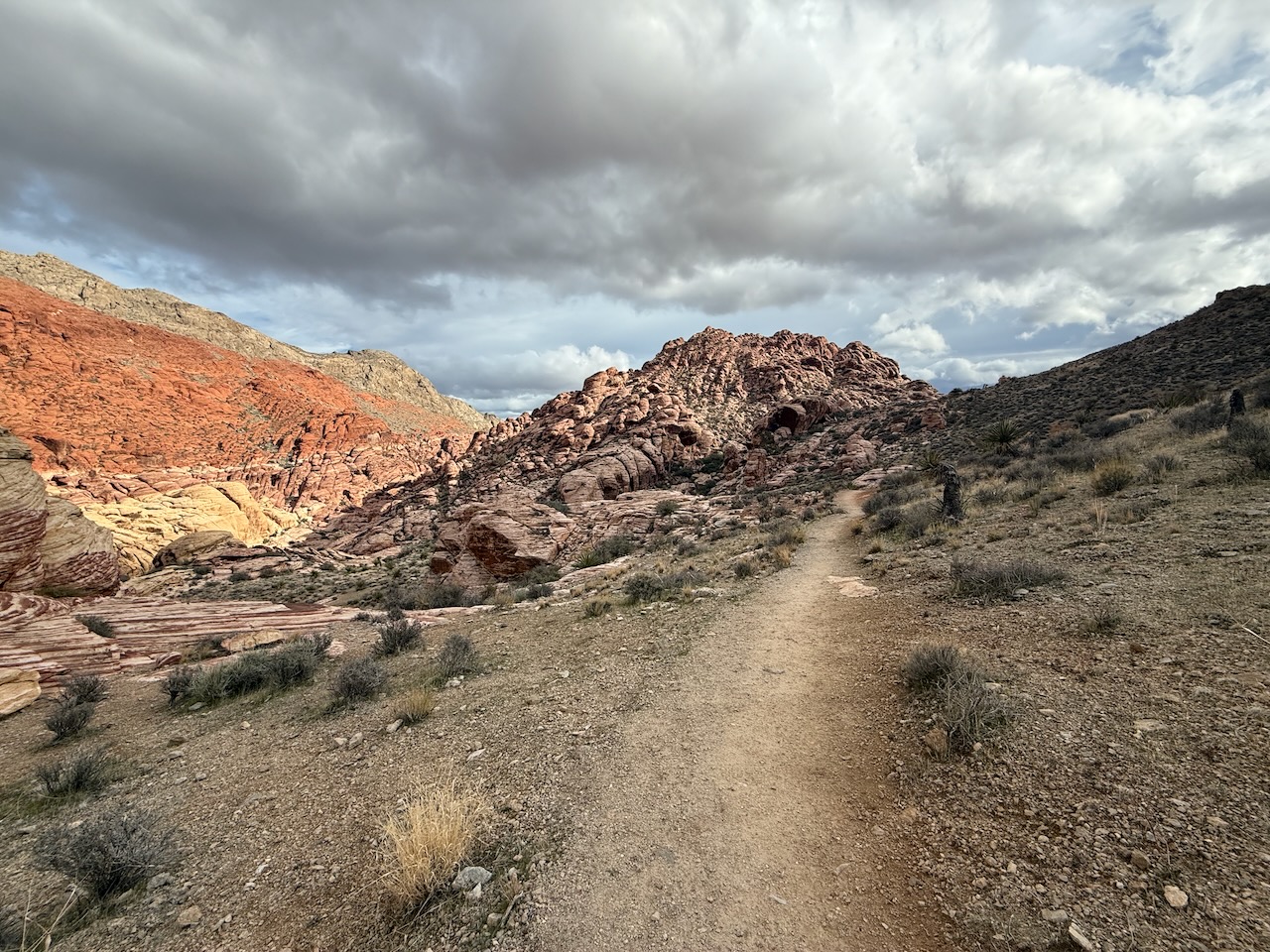
Some call it the ‘best free hike out of Las Vegas‘. I’d agree.

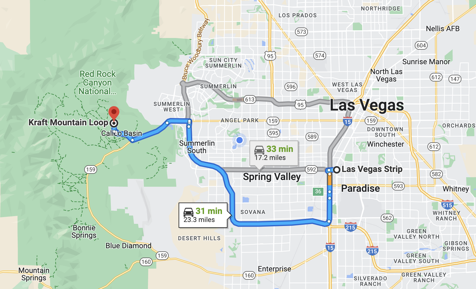
No need to pay entry to Red Rock Canyon, this adventure is right next door โž™ out of Calico Basin. Free entry. Free parking.

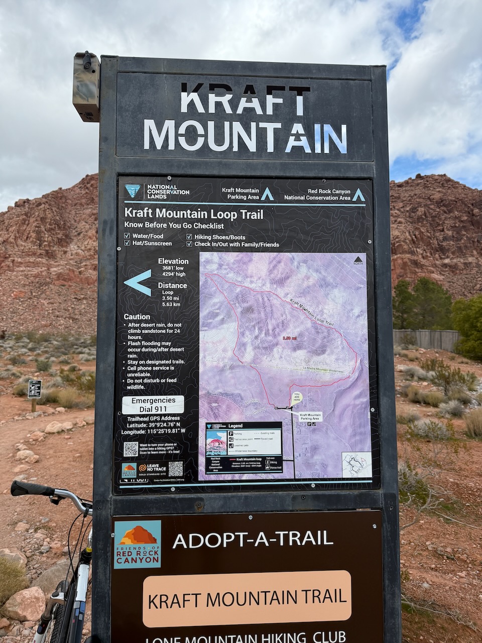
On a cool day in April, I did the the 6.9 km (4.2 mi) Kraft Mountain & Calico Hills Loop. With side trips and additional scrambles, it was longer for me.

Click PLAY or get a glimpse on YouTube.


I went back in January 2026.

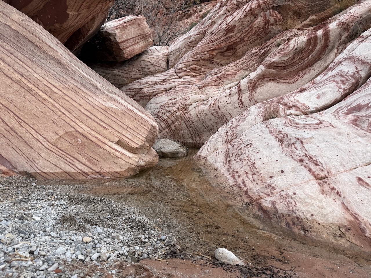
The Loop was just as terrific โ€” though there was some water in the low spots. A rare rainy Christmas in December.

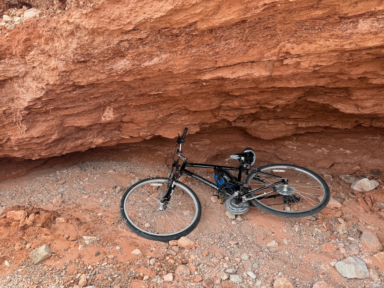
Again, I had a bike. Locked and hid it away in a ‘cave’. It’s all downhill back to Vegas.

There were many people on the trail on a cool December day in December. By late Spring it’s already getting very hot here!

You can’t get lost. The Loop is well signed.

You can hike it in either direction. Both are good.

It’s tempting to scramble up higher.

I’d certainly go back a 3rd time next I get to Las Vegas.

Bump & Grind Trail, California

Stuart Green – Trailspotting.

โ€ข 3 mile loop
โ€ข Moderate | Gain 760 feet
โ€ข Palm Desert, CA |ย Southwest US

The Bump & Grind Trail delivers exactly on its name with an undulating mountainside ascent which thankfully eventually leads into a gentler return journey. This 3-mile loop sits on the hillside above Palm Desert, California providing elevated views over a desert expanse which abuts dramatically against a sprawling suburbia. …

Hiking Valley of Fire, Nevada

Trip report by BestHike editor Rick McCharles.

No A.I. was used in this post.

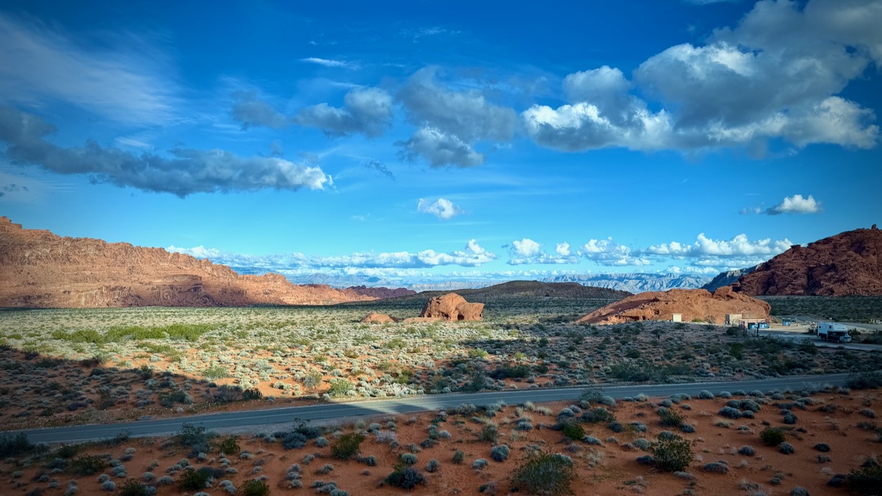
Less than an hour from Vegas is incredibly gorgeous Valley of Fire State Park.

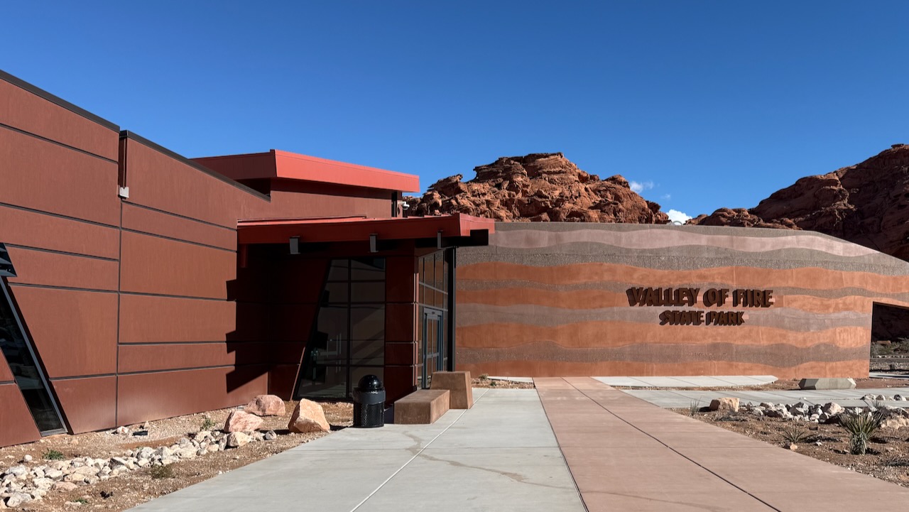
We stopped by the new (and under construction) visitor centre

Ranger recommended Fire Wave and Seven Wonders Loop.

  • 3.1km
  • 57m elevation gain

We could decide whether or not to add the White Domes trail when we got to the turn-off.

From the parking lot, we had to decide which direction to hike. The signage is minimal in this park, for good and bad.

Most people seemed to be going clockwise (looking from the top) so we joined them.

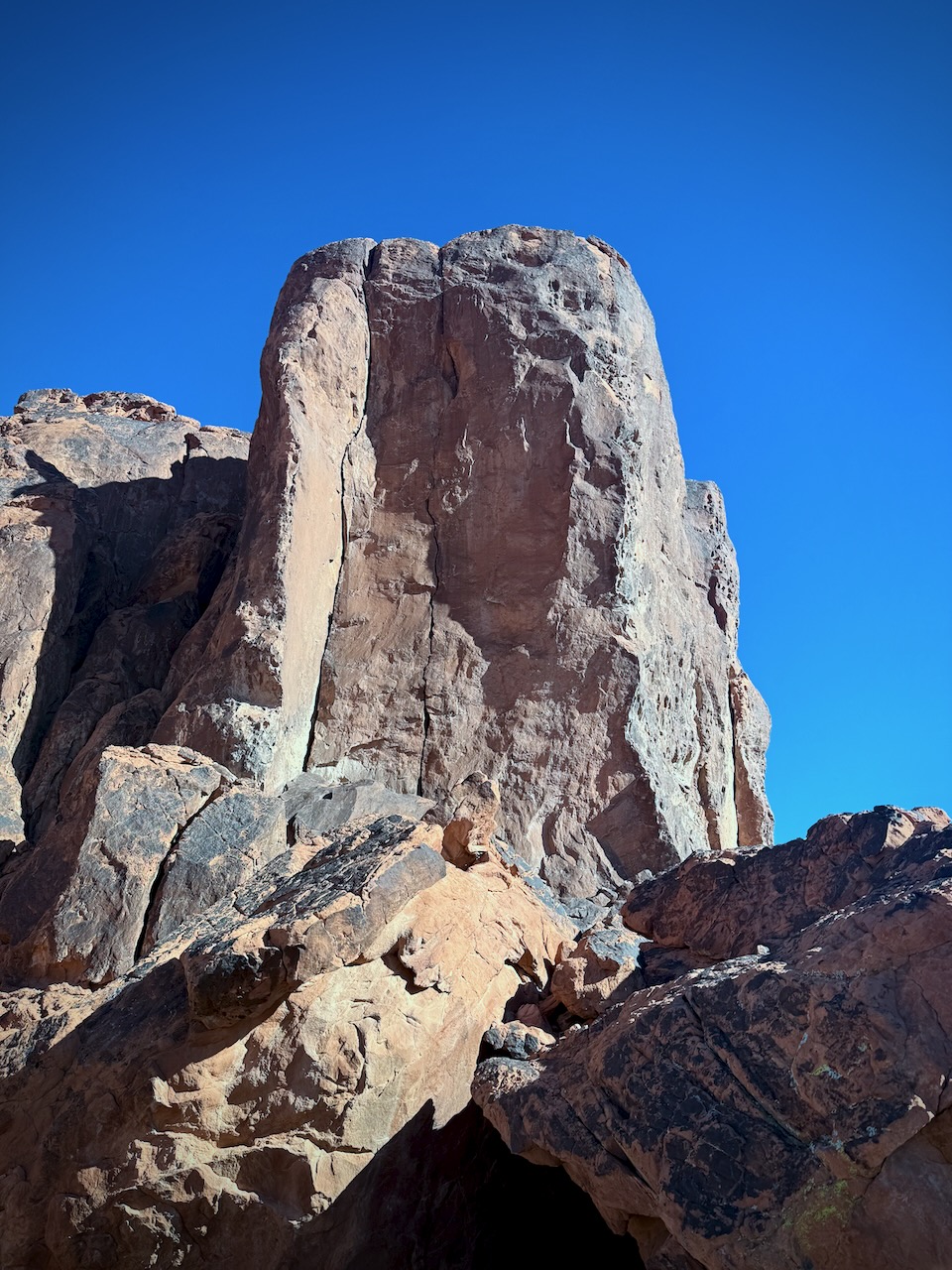
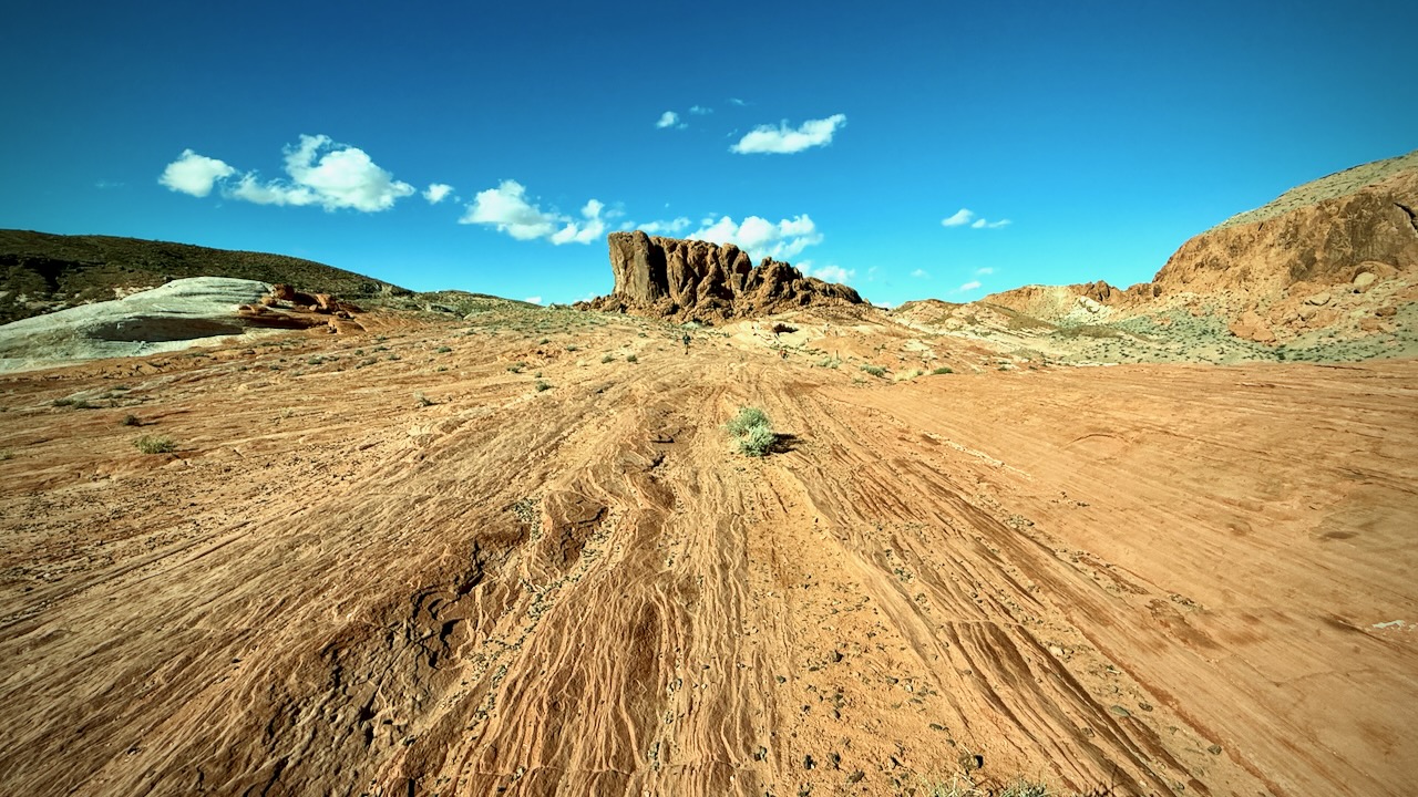
It’s ALL good. Endless impressive desert vistas.

Temperatures moderate in early January. Winter is an ideal time to hike the Nevada deserts. This trail was busy with tourists.

(Note that I try not to post photos & videos of people without their permission.)

Slot canyons are almost always dry. But over Christmas / New Years 2025, this area had rains for several days. We had water in some of the canyons.

… Somehow we missed the turnoff to White Domes. Oops.

Next drove to Petroglyph Canyon via Mouse’s Tank Trail.

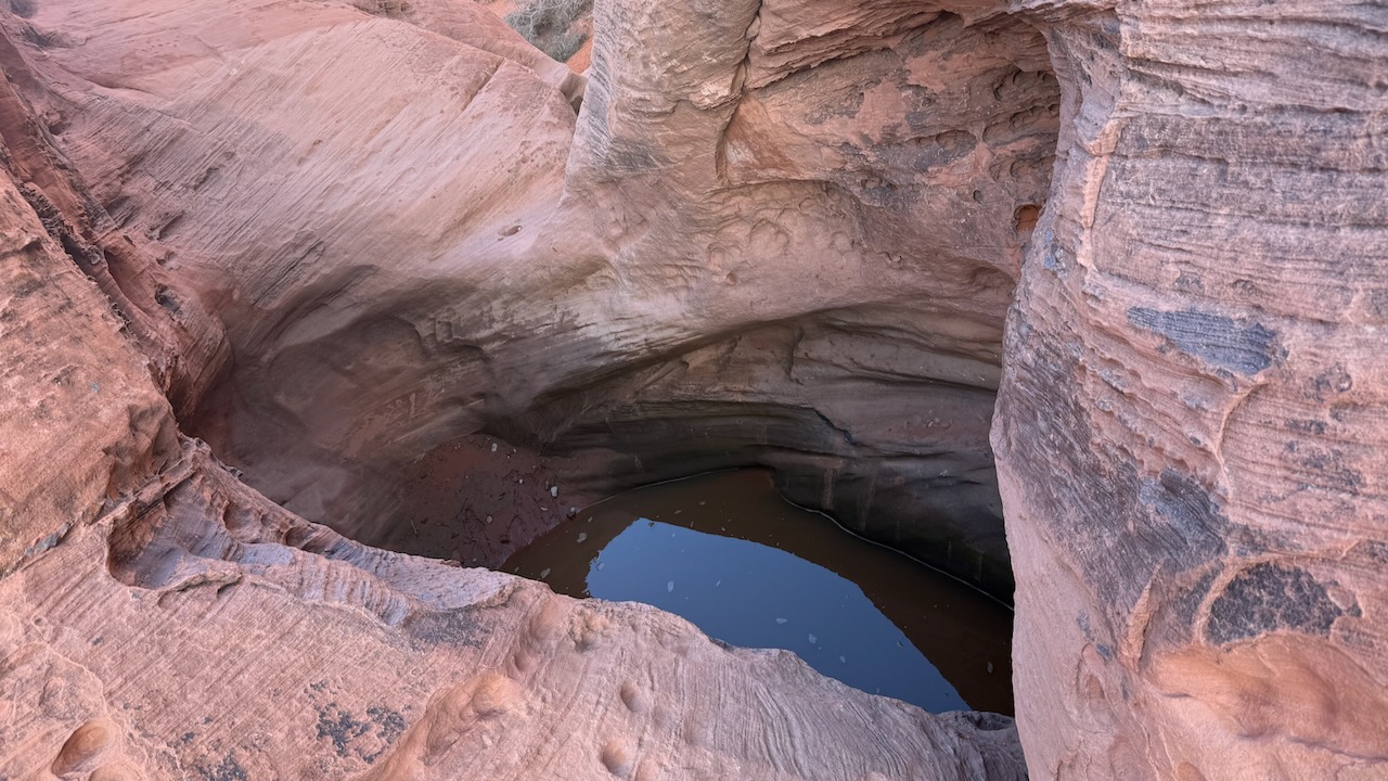
Here’s the Mouse’s Tank.

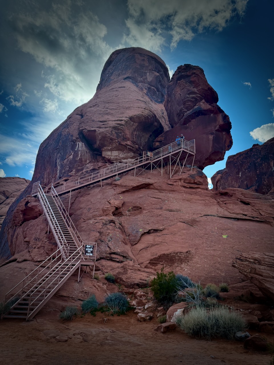
Finally we stopped at Atlatl Rock Viewpoint for lunch.

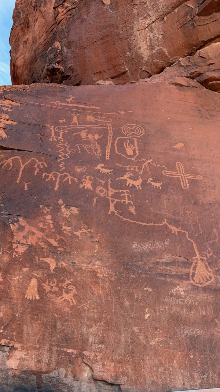
Stairs take you up close to some of the best petroglyphs in the park.

How did they get up there 40,000 years ago?

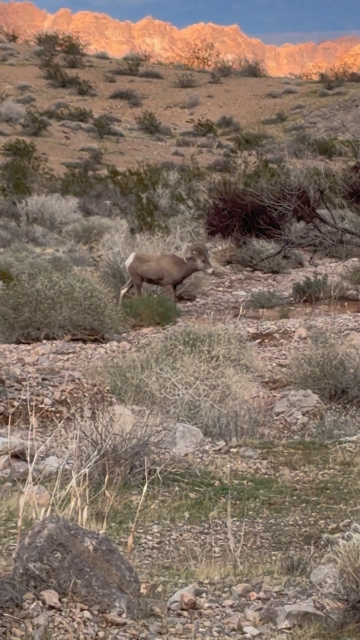
On the way out, we saw a large herd of Bighorn Sheep.ย  They seemed entirely nonplussed by tourists.ย 

We’re already planning future trips. The campgrounds here are excellent.

Click PLAY or watch it on YouTube.

Southern California Camping

Trip report by BestHike editor Rick McCharles

I wanted to sleep one night in the desert.

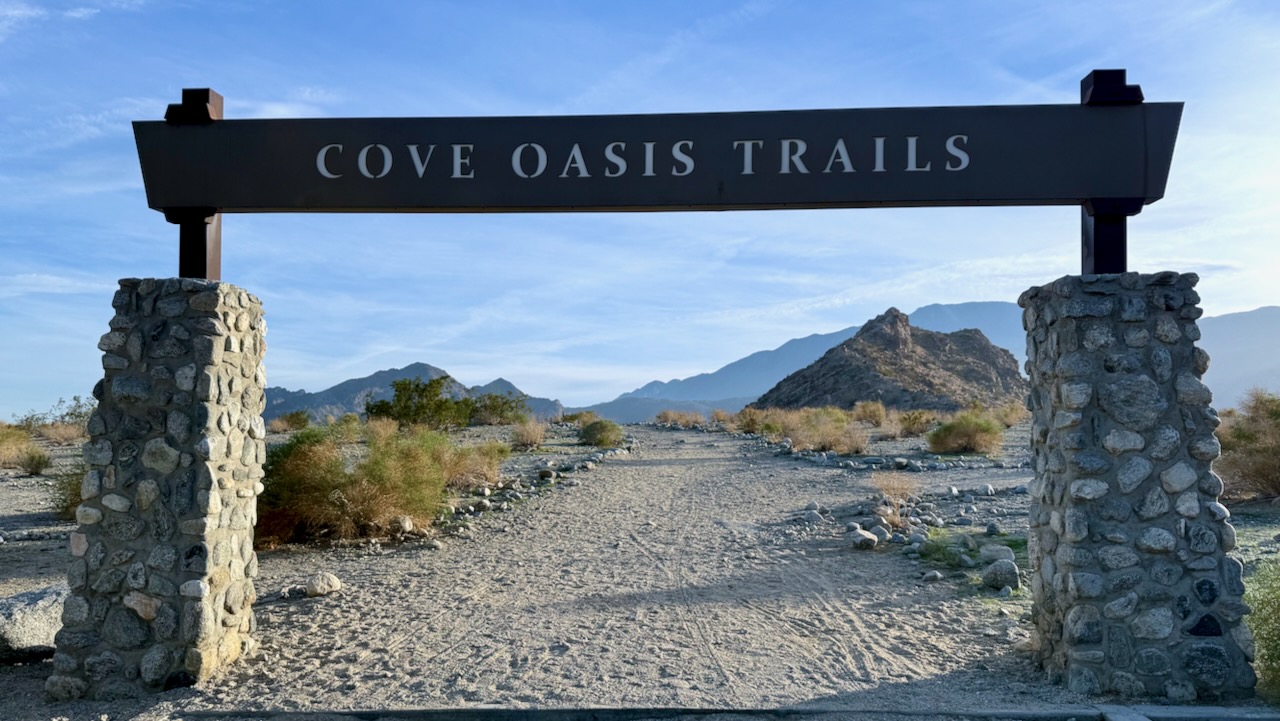
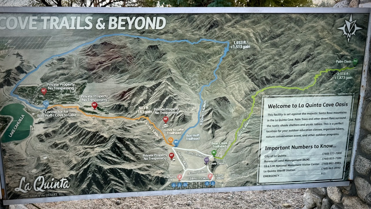
I started late afternoon on the Bear Creek Oasis Trail out of La Quinta Cove.

There are plenty of walking options. I found the unsigned trail heading towards “Palm Oasis” using AllTrails offline.

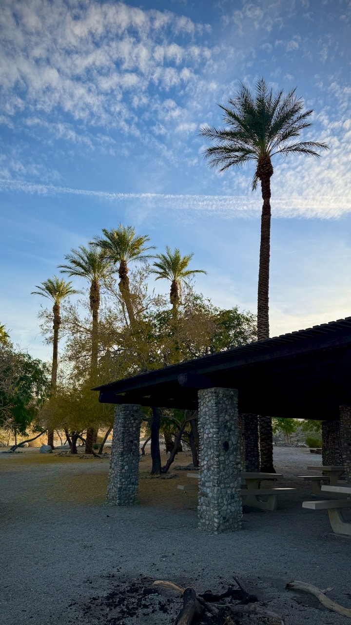
There’s a nice picnic area near the start. No dogs allowed past this point.

All of the hiking in this area is good. But there are very few birds, reptiles, animals, or insects.

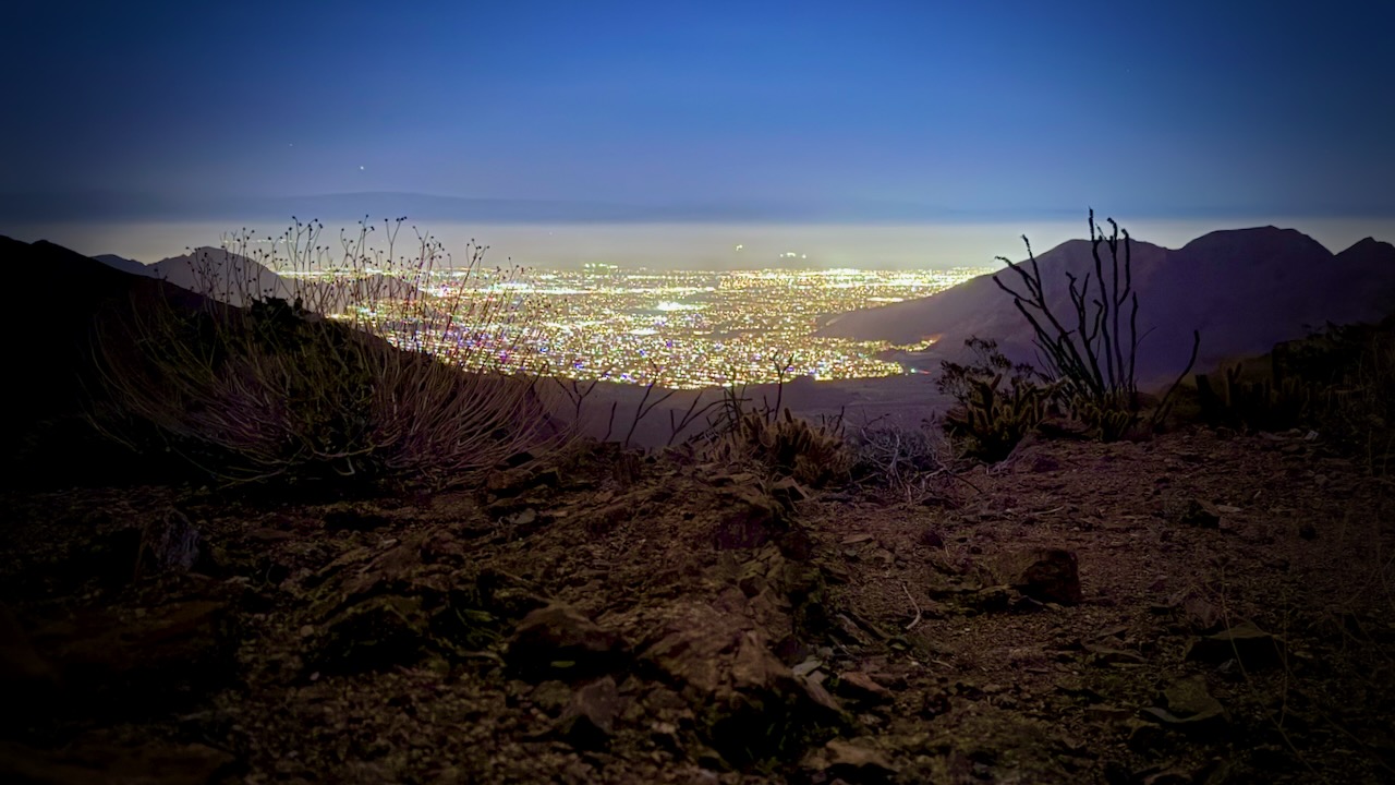
When it got dark, I looked for a sandy spot to set up my tent with a view over the town.

A very quiet night.

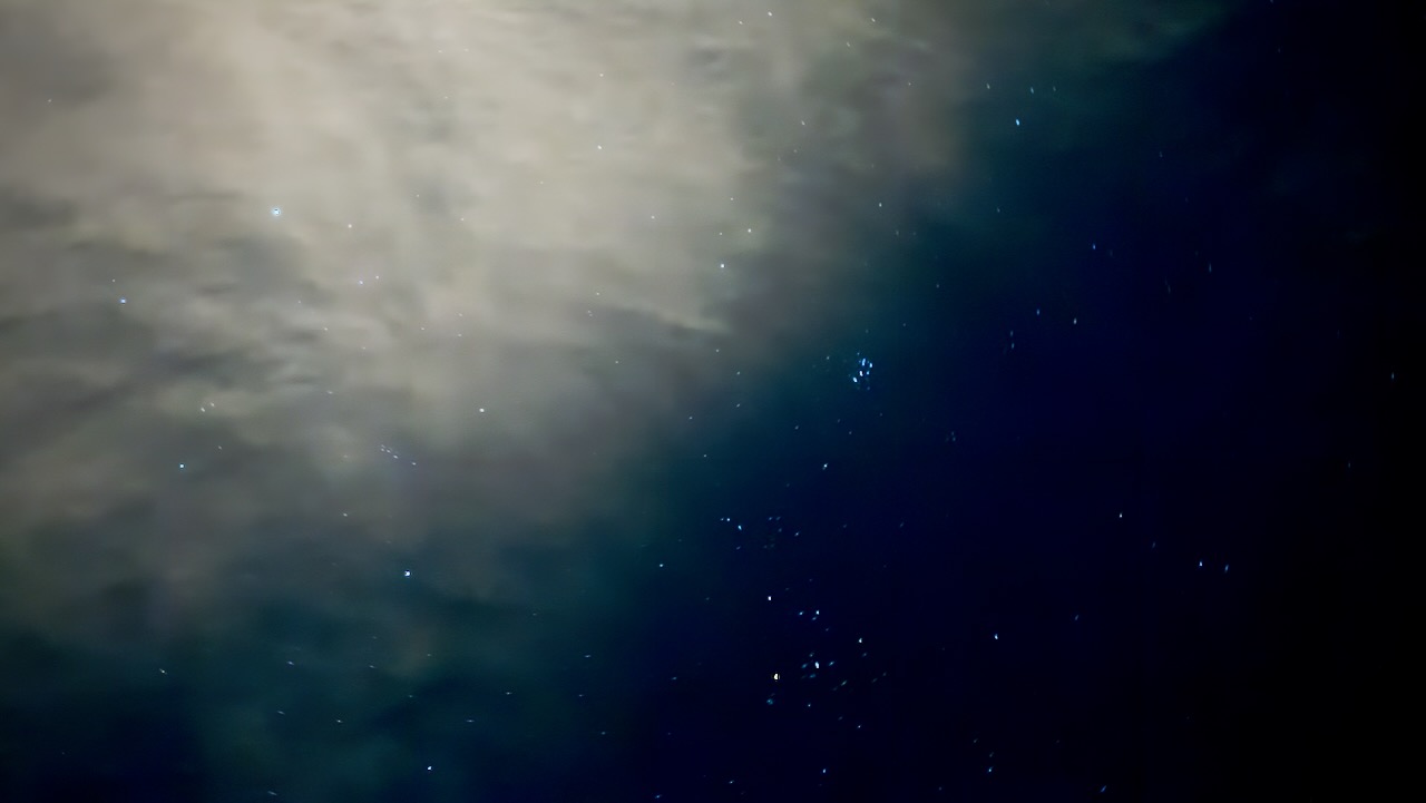
I used the iPhone 16 Pro Night Mode in RAW (ProRAW) for enhanced low-light detail. This sky photo looks much better than what I could see with the naked eye.

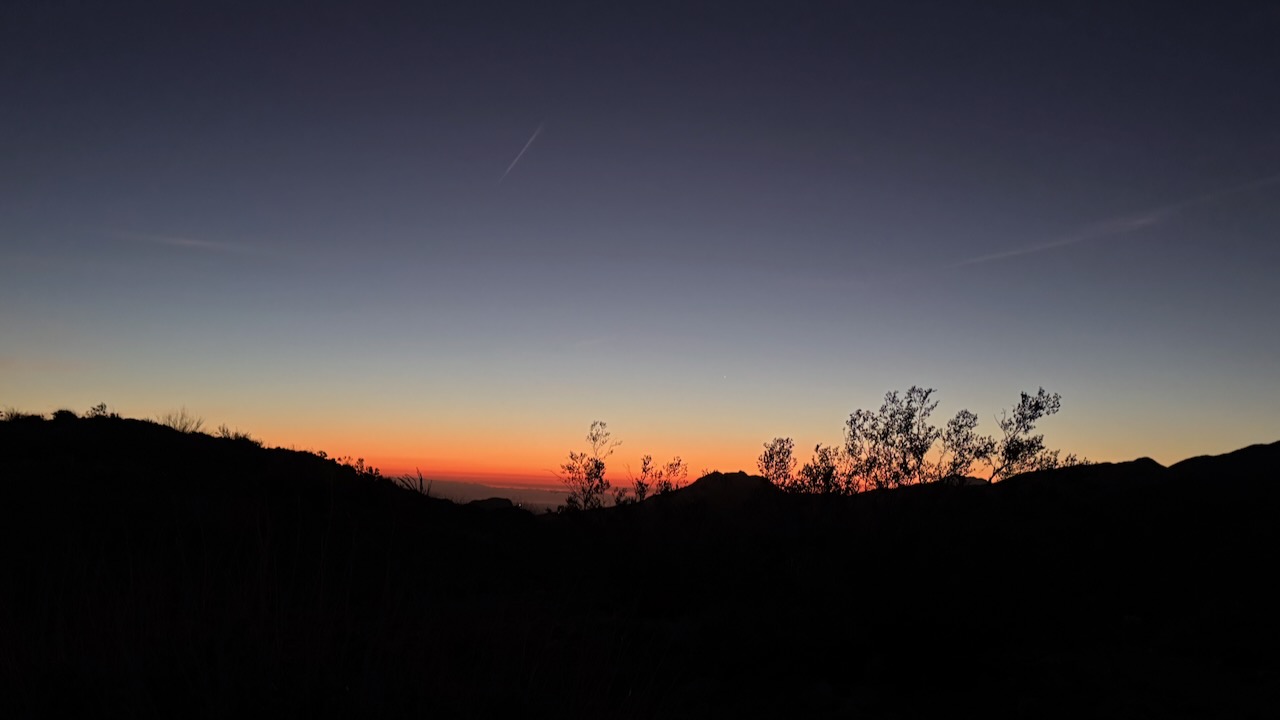
Dawn next morning woke me.

It was bright by 6am.

Early Sunday morning, hikers passed before 7am. Followed soon after by trail runners. This is a good trail to get some vertical. 708m elevation gain if you do the entire 15km return.

I climbed a little higher โ€”ย then headed down for breakfast and coffee.