
Camino del Norte, Spain. French border to Bilbao.

Trip report by BestHike editor Rick McCharles.

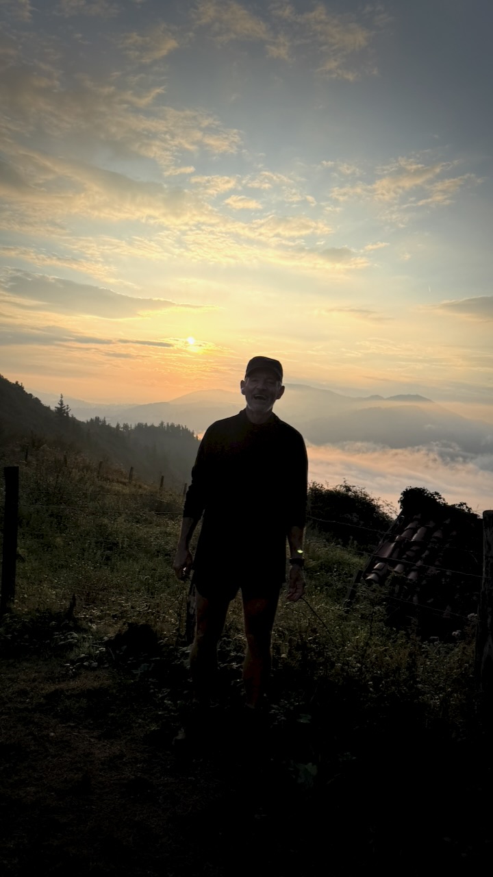
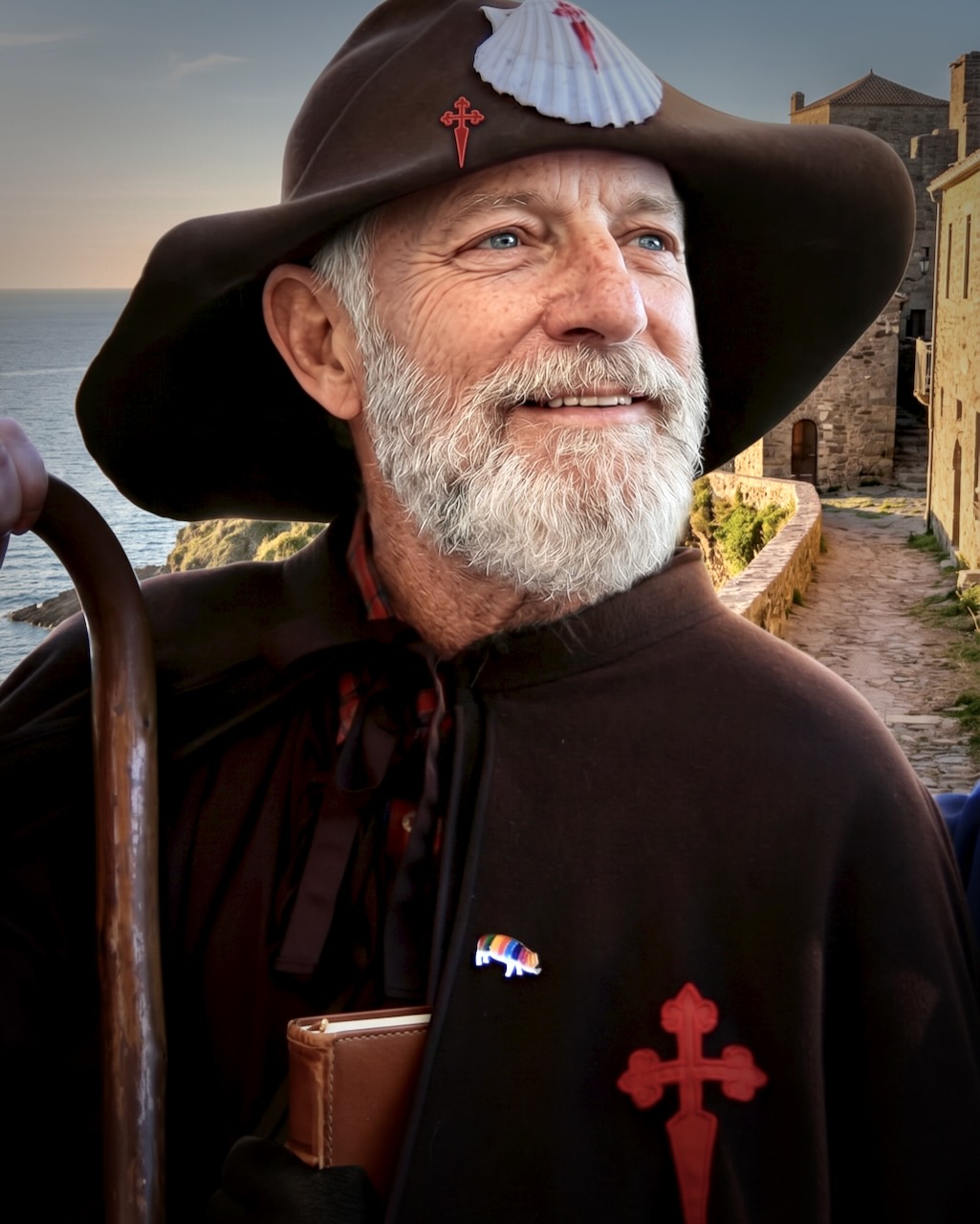
I had A.I. software remake me into a proper pilgrim. 😀
I cycled 300+km of the French Way in 2022. That was terrific. It’s the most popular of the Camino de Santiago pilgrimage routes.

By comparison, the Camino del Norte (Northern Way) totals 817 kilometres (508 mi) across northern Spain from the border with France to Santiago de Compostela. It’s only the 6th most popular of the many Caminos. Over 21,000 pilgrims / year.

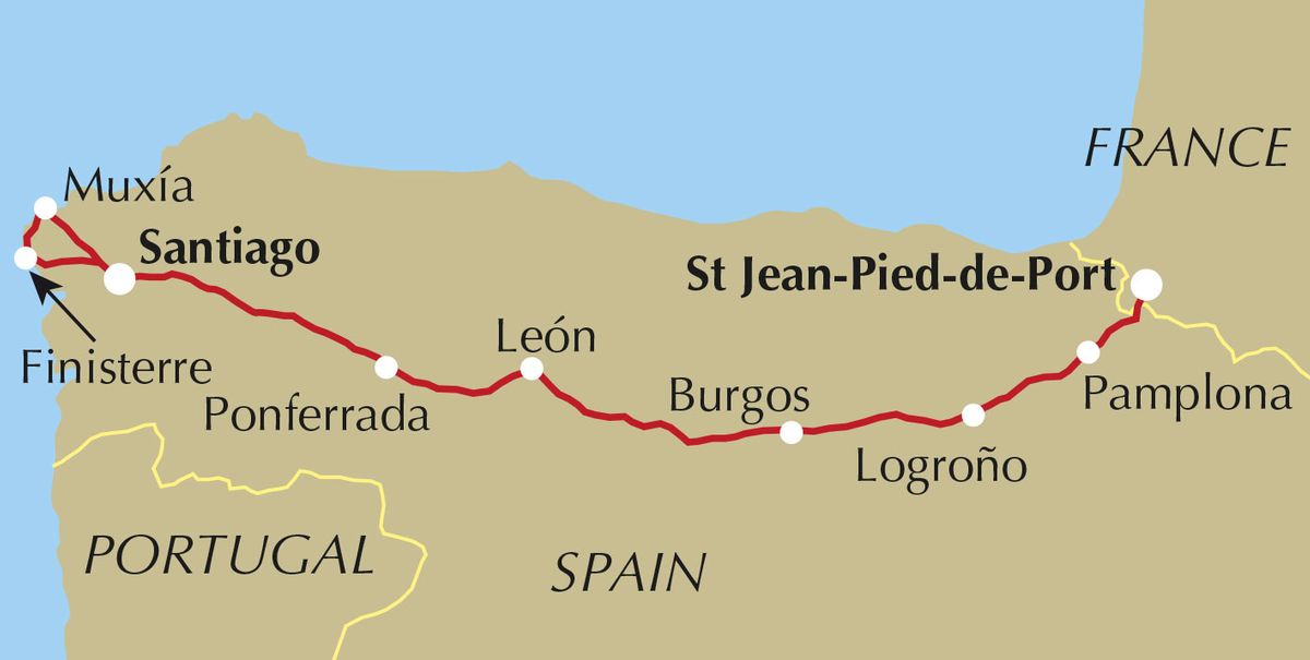
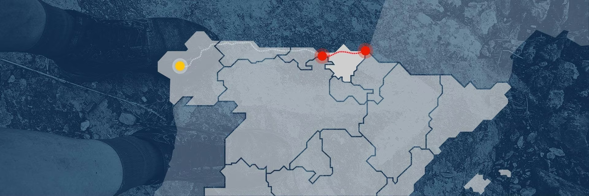
SO … in 2026 I did 6 days from French border town Irun to tourist mecca Bilbao.

The red section on the map below.
Click PLAY or get a glimpse of what it’s like on YouTube.

Camino pilgrimage routes attract many different kinds of people. Much different than on other thru hikes, I find. Some are spiritual seekers & reflective travellers. The highlights for others are the food, history, and culture.

Since the Camino del Norte attracts less than 5% of the Camino Francés numbers, accommodations are not all booked. It’s not nearly as crowded.

Many feel Irun to Bilbao is the best and most scenic section of the Camino del Norte.

Steep climbs, rugged coastal cliffs, and longer stretches between services make the START of the Northern Way the most challenging.

I stayed in combination of albergues (pilgrim hostels), hostels, and emergency tent one night. Accommodation is quite inexpensive.

Flying into Bilbao

It’s easy and comparatively inexpensive to fly into Bilbao.

I arrived late night on an inexpensive flight.

More PHOTOS.

Bilbao downtown Guggenheim museum titanium metallic facade by night

I picked up my Camino de Santiago pilgrim passport (credencial del peregrino) at the Cathedral. This gains you entrance into some of the pilgrim accommodation en route.

Bus to Irún

It’s easy to find a direct bus to Irún close to the the French border.

I stayed at the Jakobi Pilgrim Hostel (Albergue de Peregrinos Jakobi) in Irun, the official starting point for the Camino del Norte. Payment is by donation.
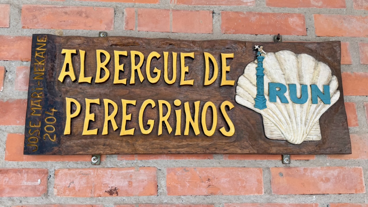
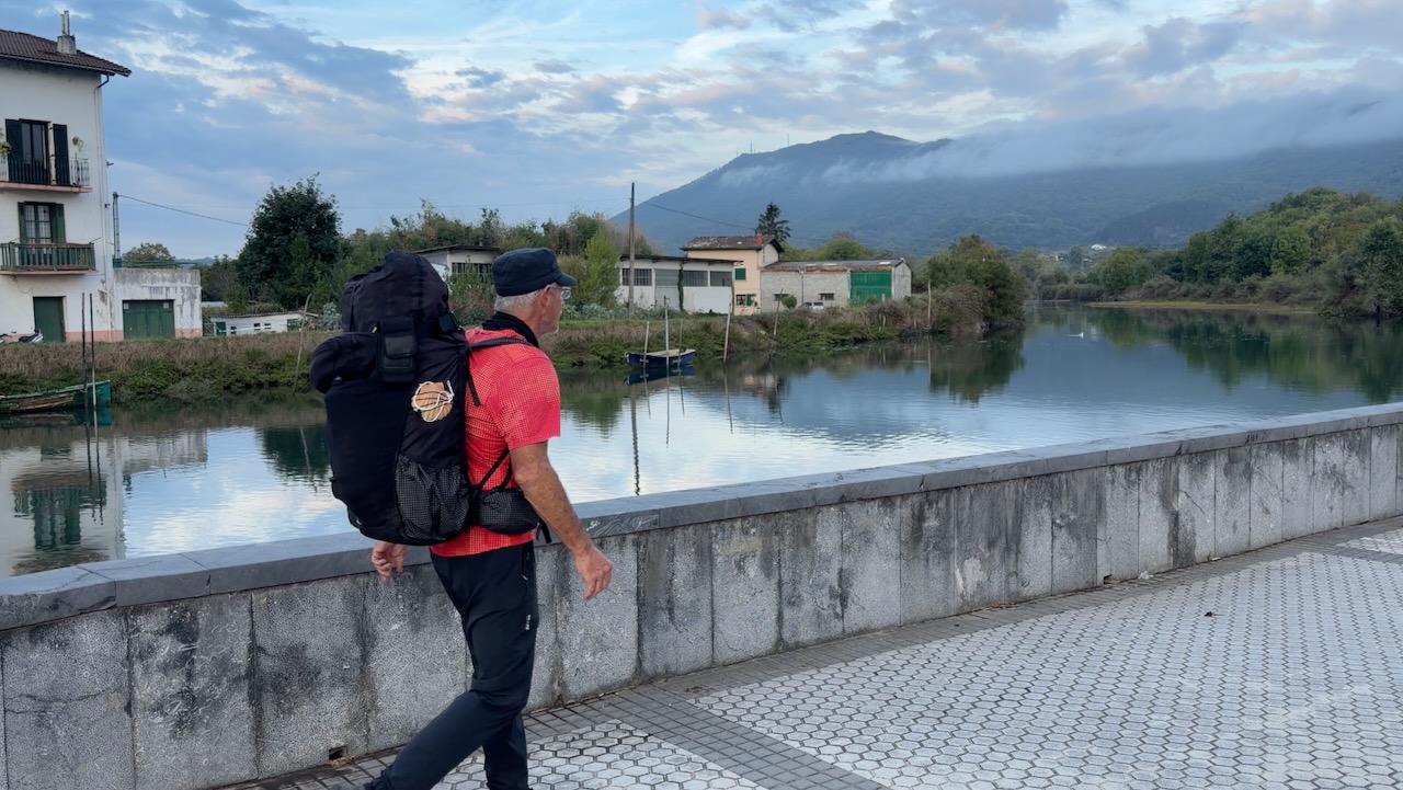
Next morning, off and running.
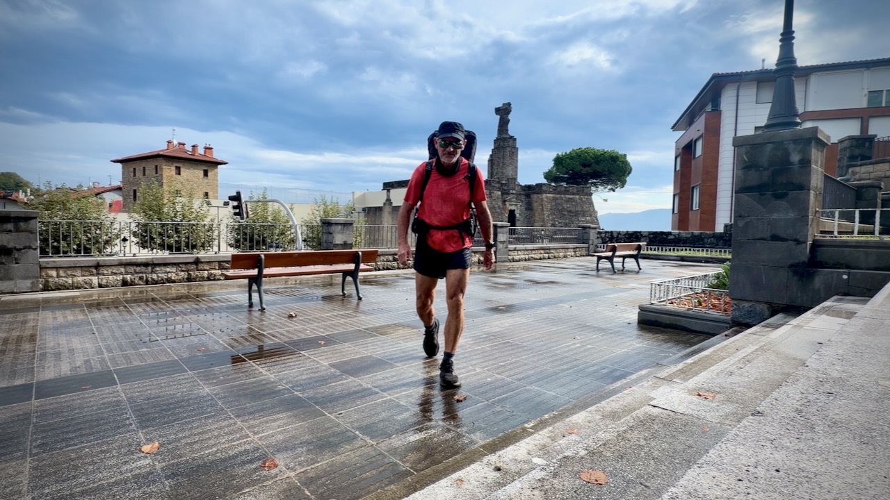
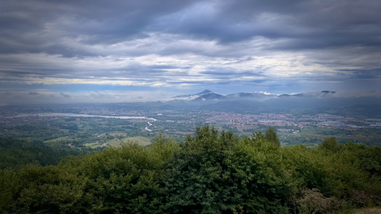
The rain in Spain falls mainly in the NORTH. Over the coming week I had all kinds of weather, including lightning storm.
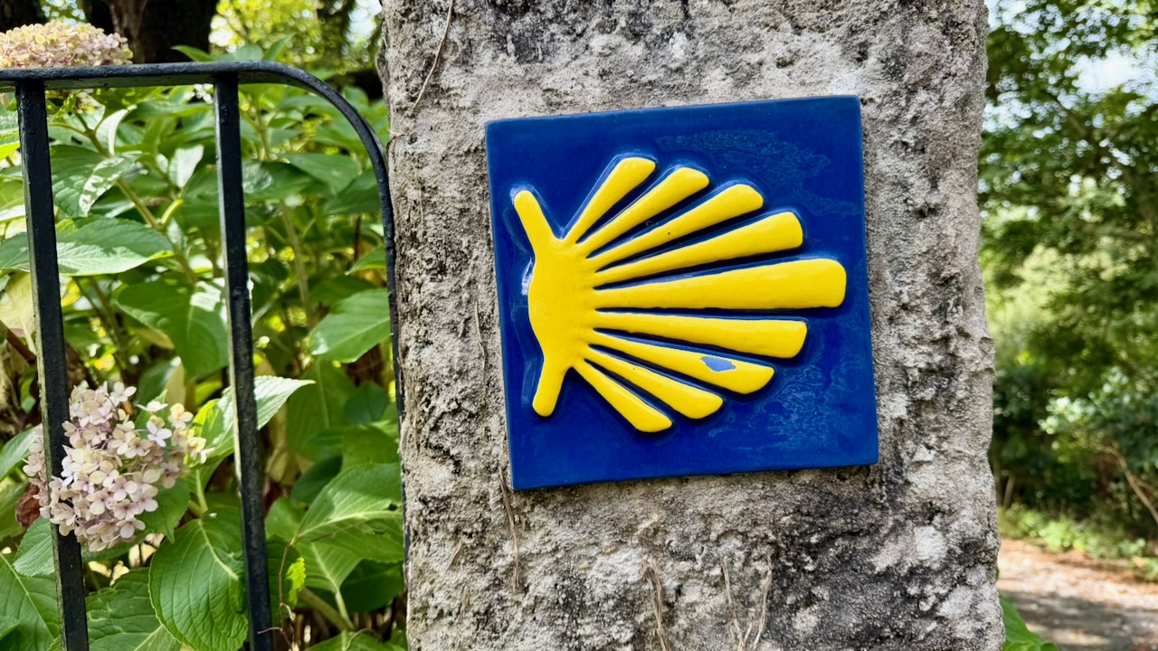
The Camino is well signed. I mostly used AllTrails to confirm turns. But it seemed there were many other apps in use.
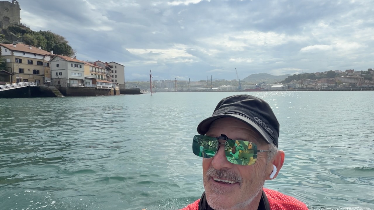
There’s one ferry crossing – the Pasaia River.
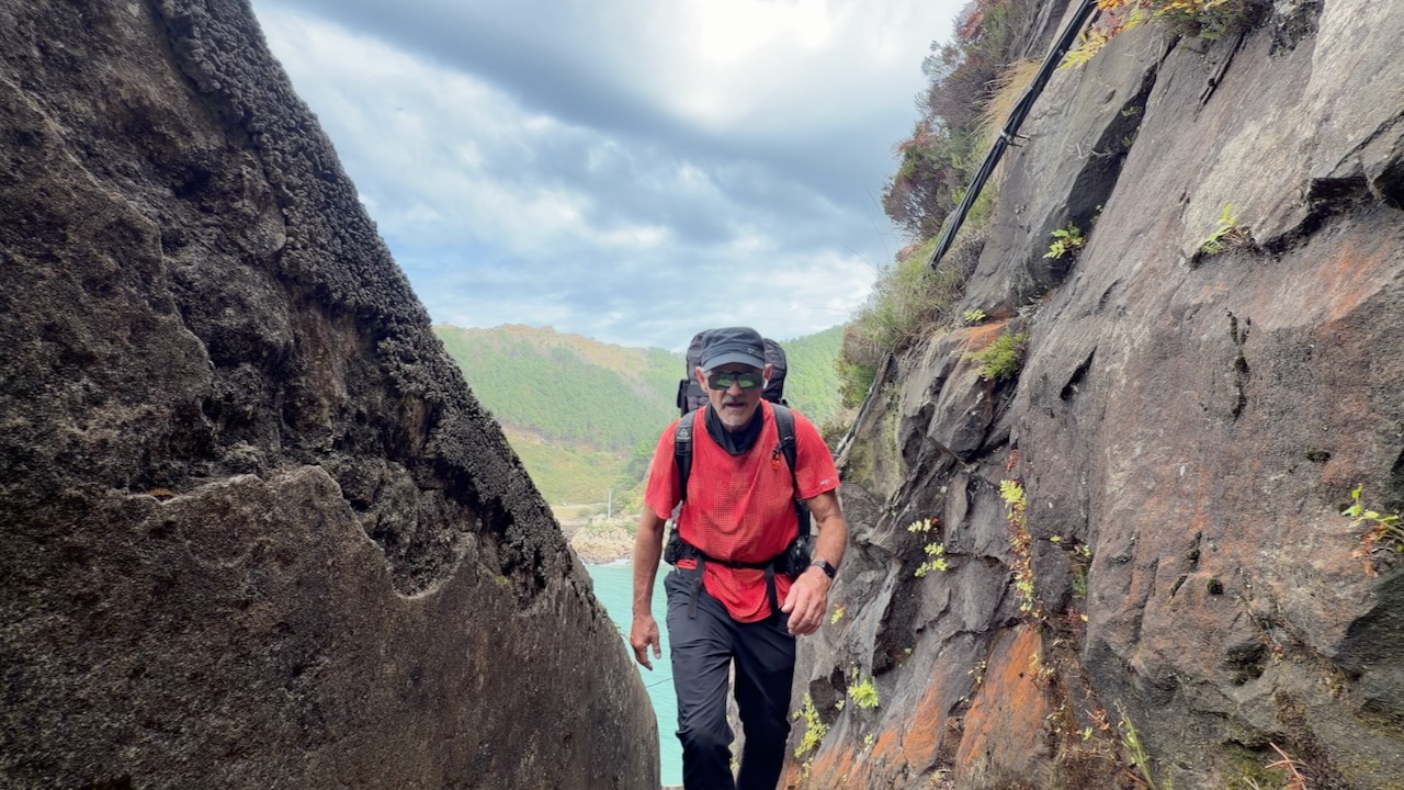
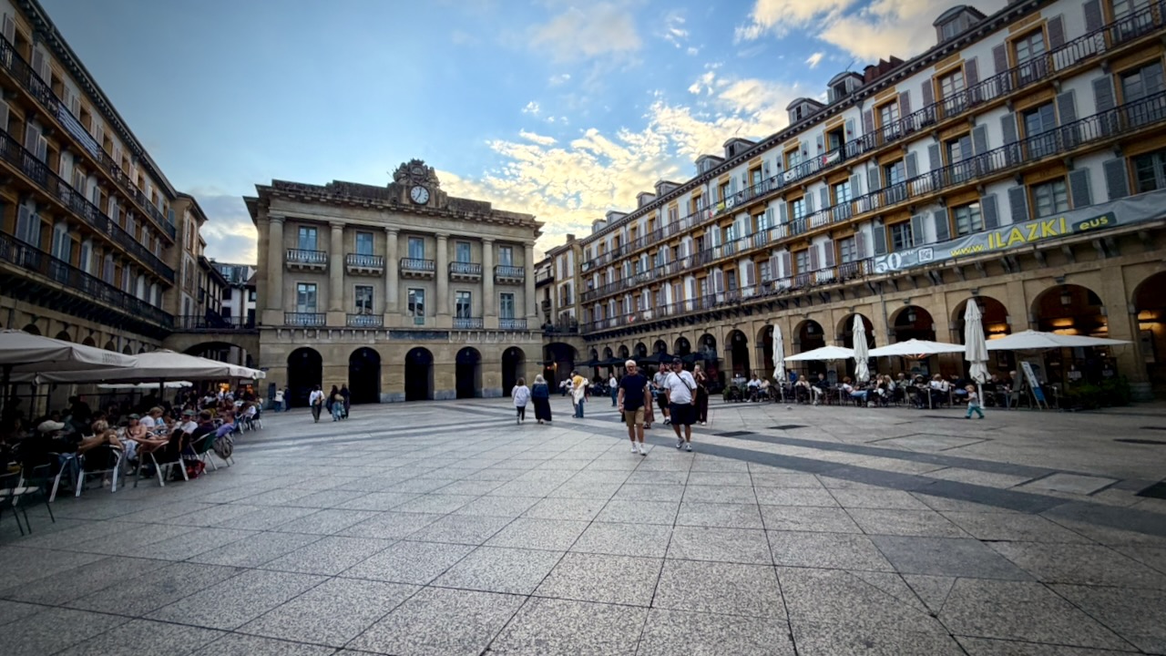
First night I stayed just outside San Sebastián, a tourist city very competitive with Bilbao.

San Sebastián

Some stay 2 nights here as there’s a lot to see. I toured the town one evening and again the next morning.
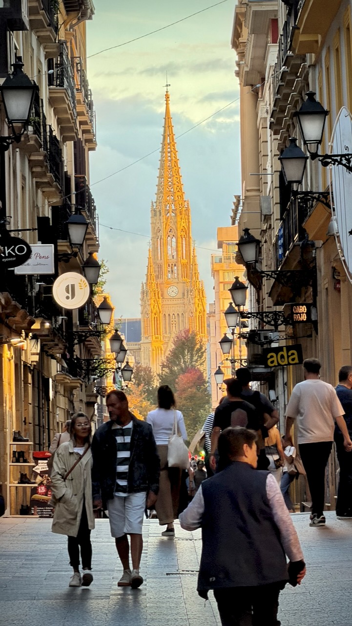
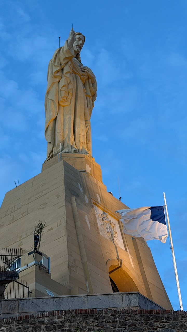
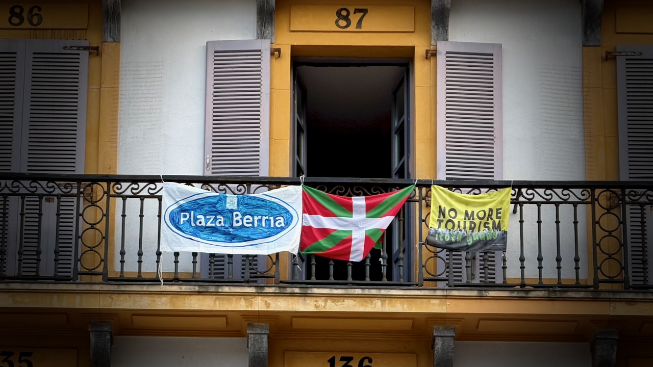
This is the kind of place in Europe some feel is over-touristed.
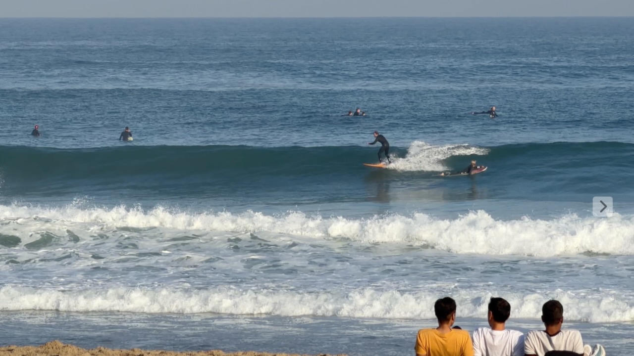
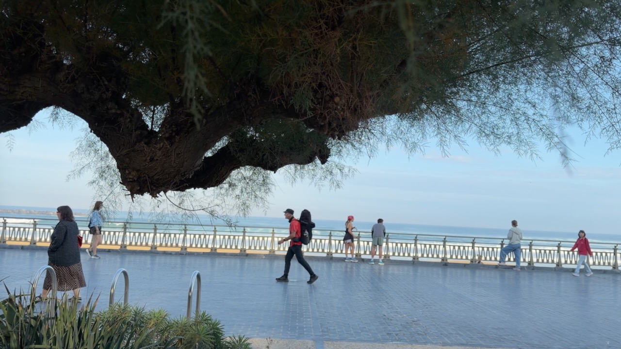
San Sebastián is a beach town, popular with surfers.

Onward.
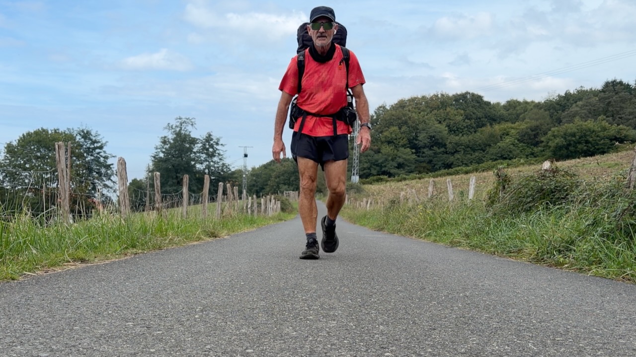
One problem with ALL the Caminos … you end up doing a lot of walking on concrete and cobblestone.
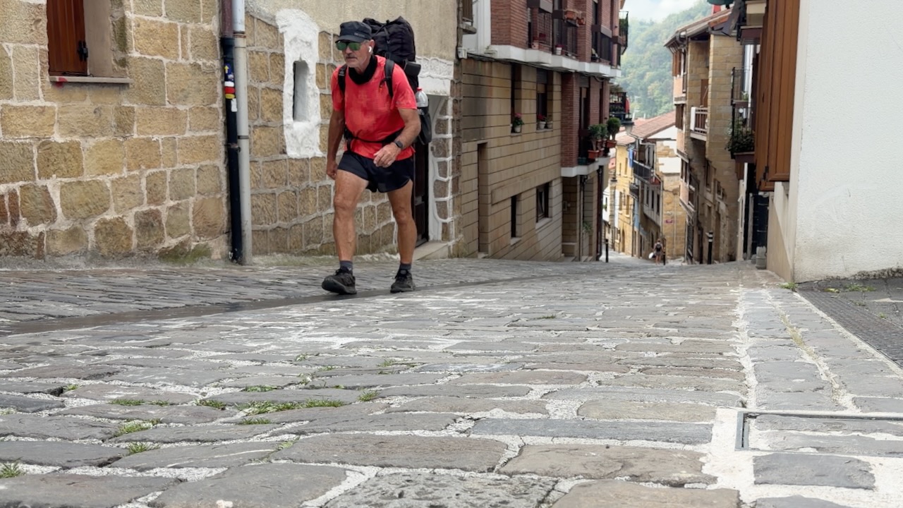
By day 6 I felt one of my feet was bruised.

Zarautz Beach
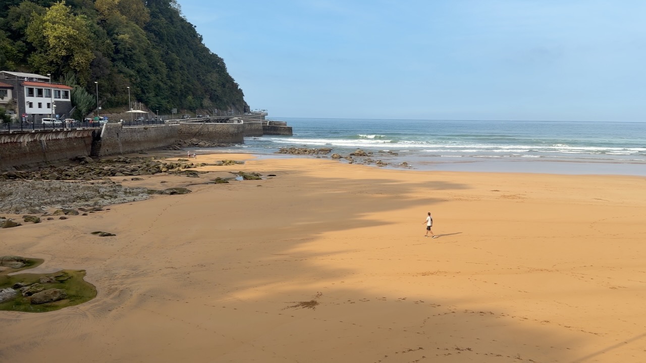

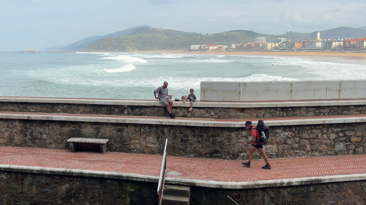
I did enjoy the coastal sections.
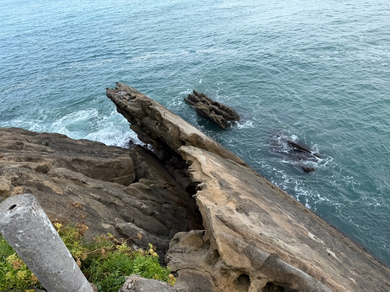
Getaria

I happened upon a hostel in Getaria that was just serving up dinner. I stayed.
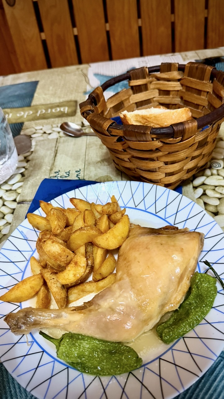
Early next morning I wandered the town before many more people were awake.
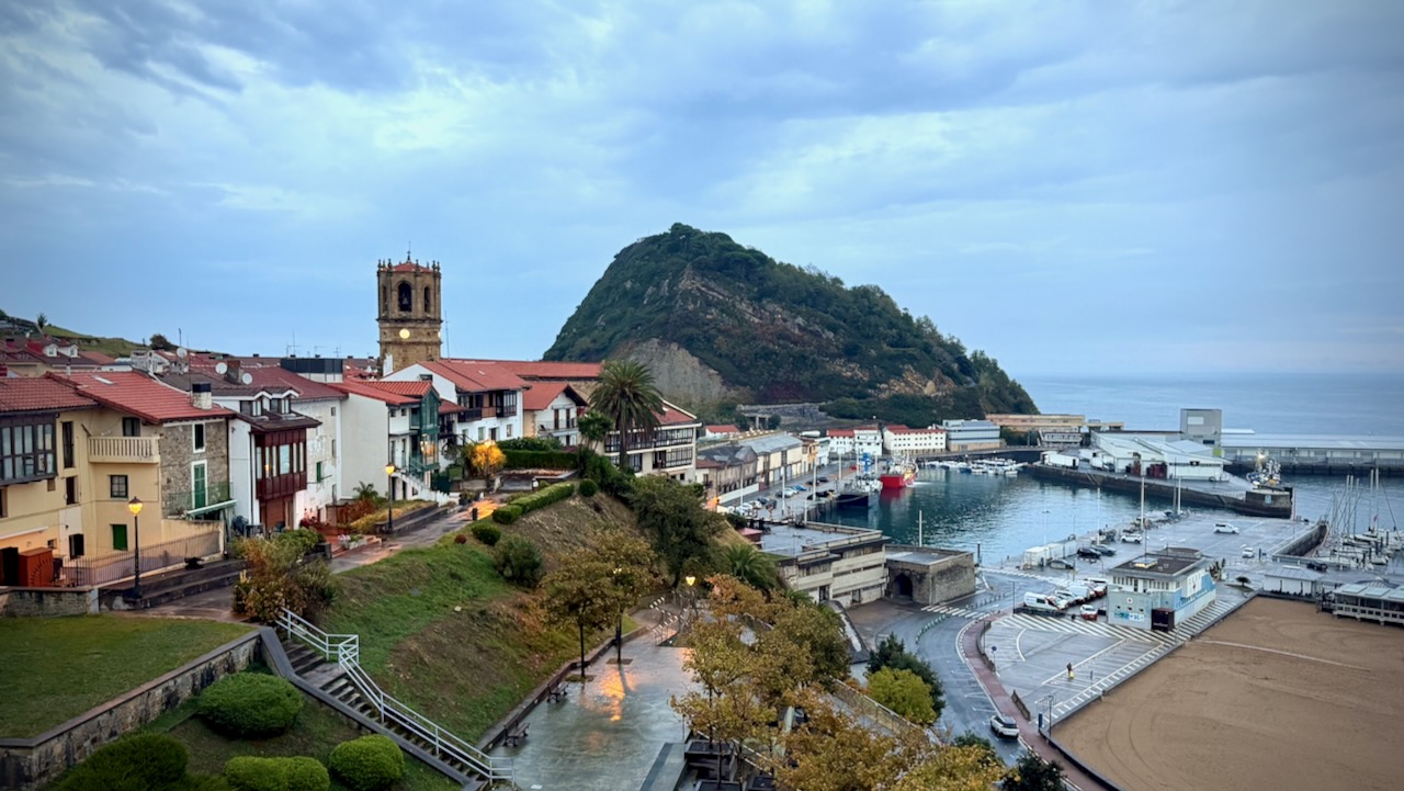
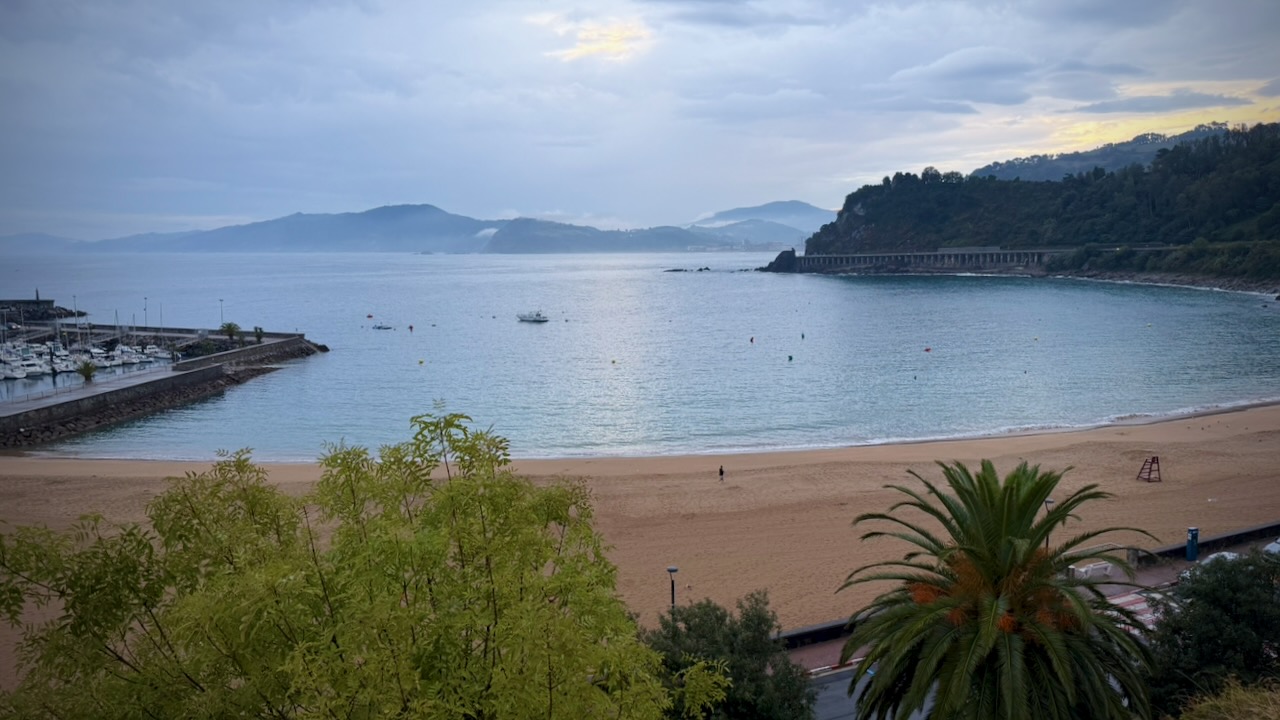
Got an early start on the hiking day.
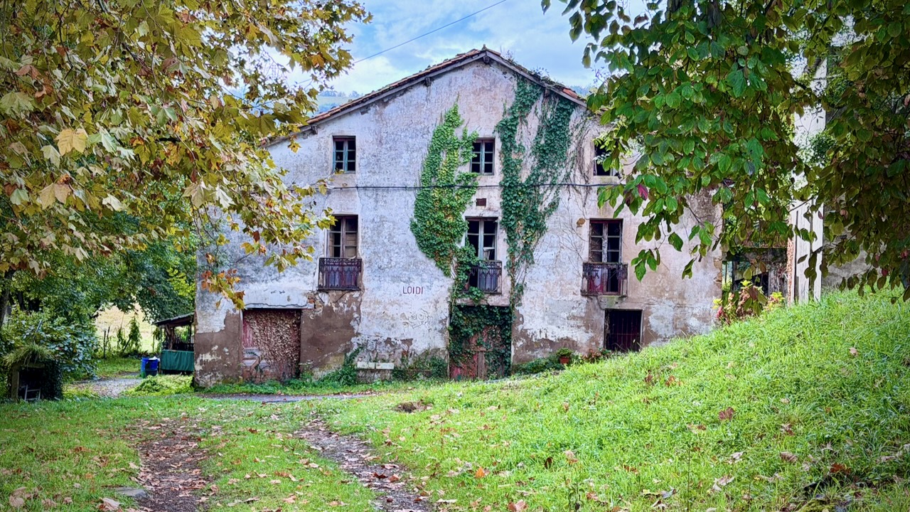
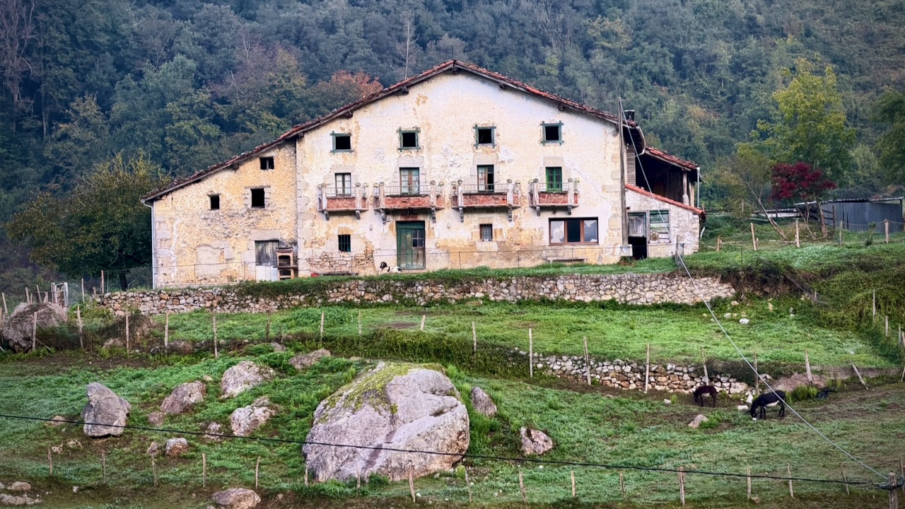
It’s a very rural area. Plenty of farm animals to keep you company.
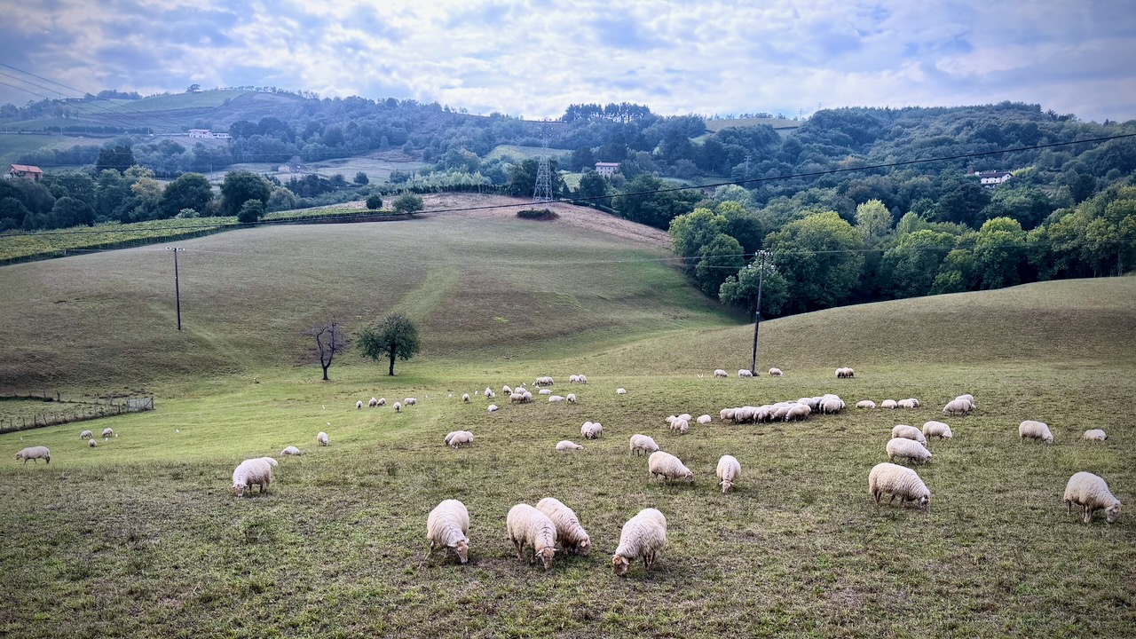
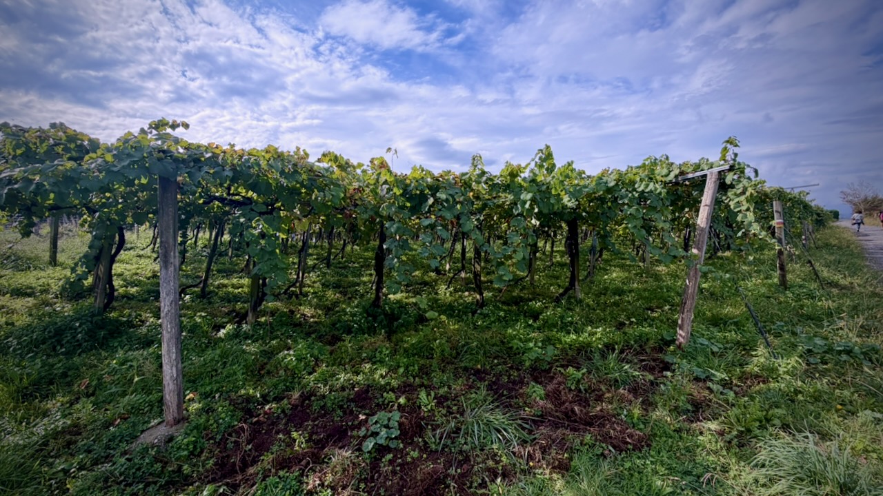
Some vineyards.
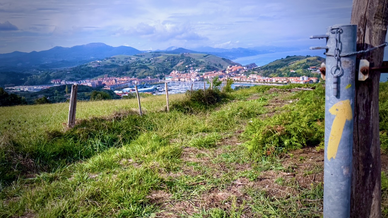
And eventually back to the coast.
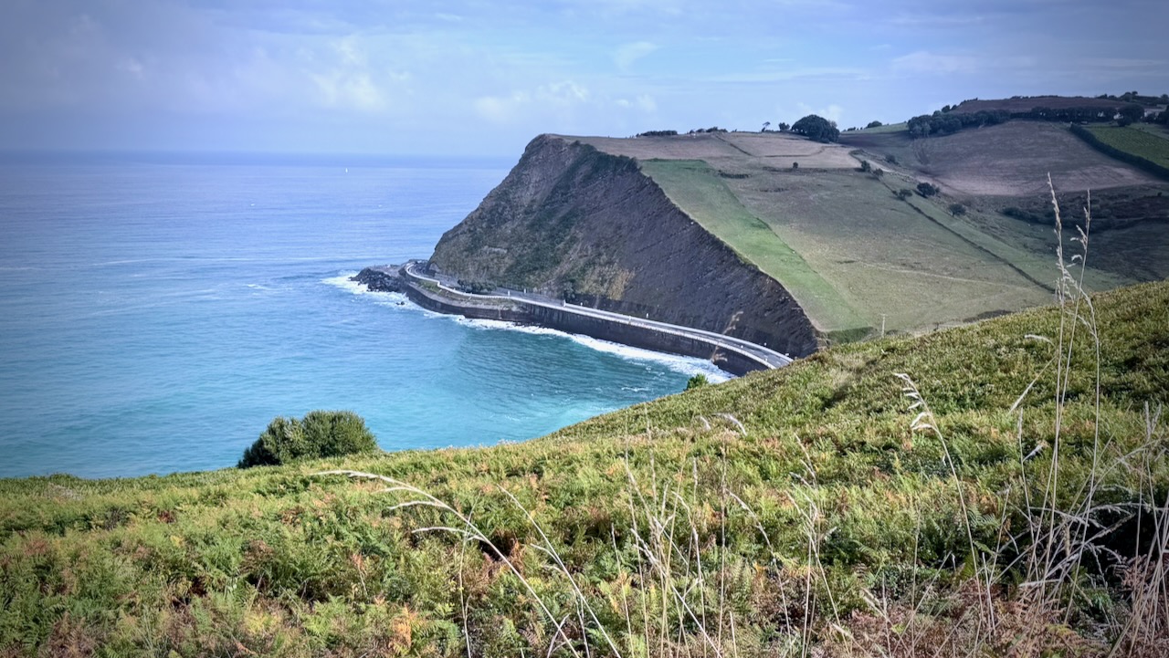
Mutriku

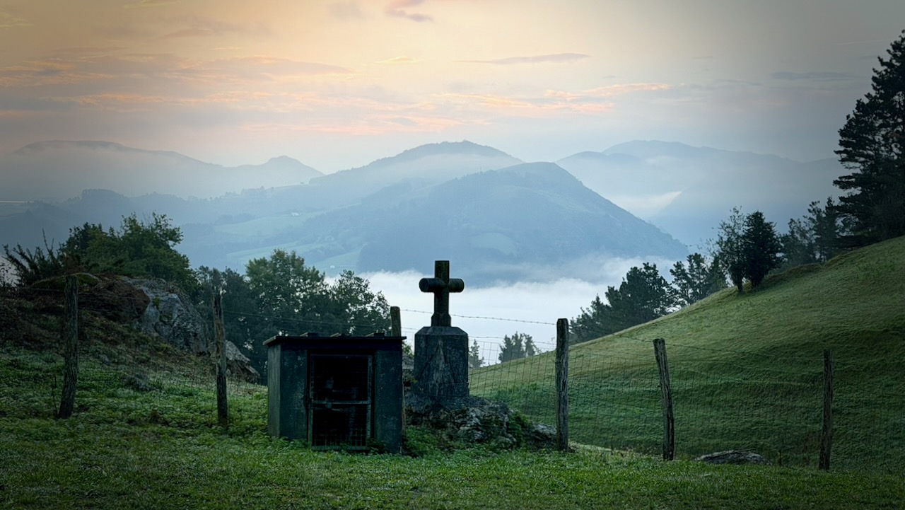
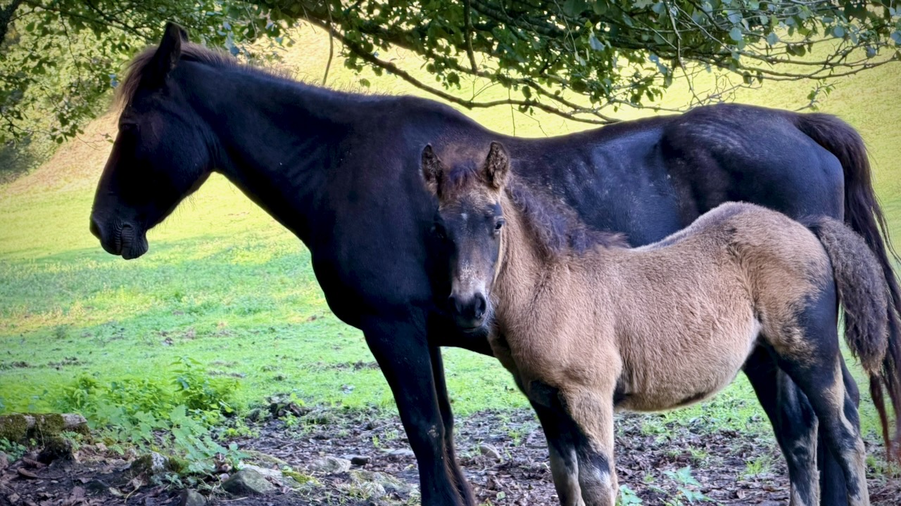
Sections are very remote.

No bus. You might ride a horse out. 😀
Markina-Xemein
Monasterio de Zenarruza

Everyone wants to stay at the Monastery. Paid by donation.
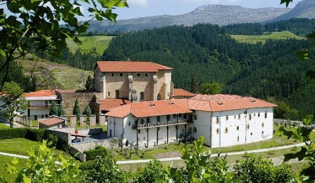
Meals and room are quite basic.

But the place is beautiful.
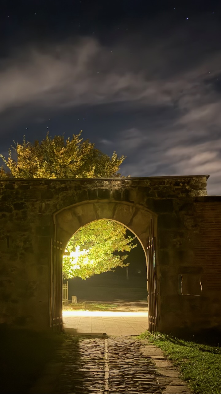
Guernica

The town of Guernica is infamous for the 1937 painting by  Pablo Picasso.

One of the best known anti-war paintings. Germans had bombed the people here relentlessly.
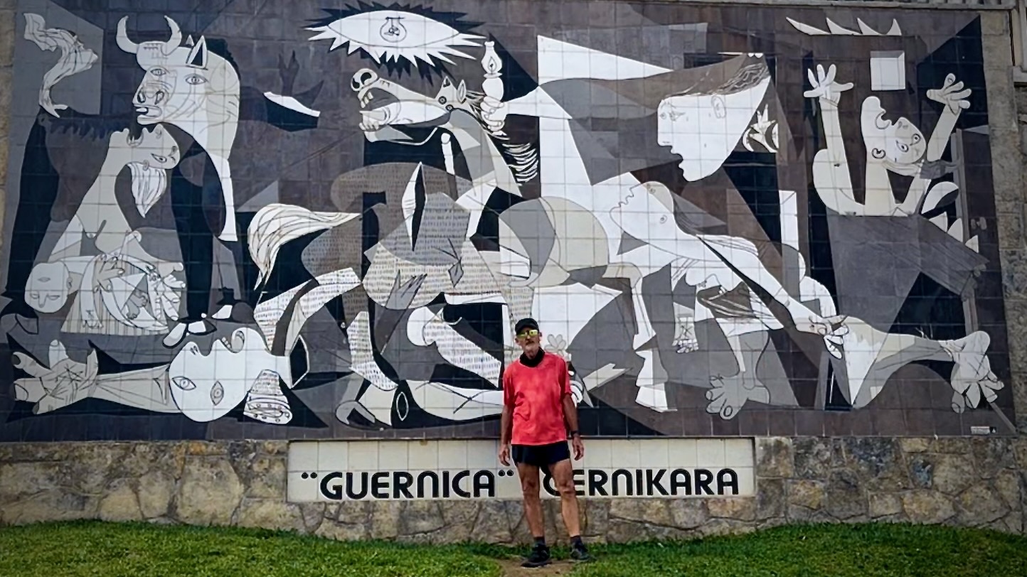
Many stay over in this historic city.
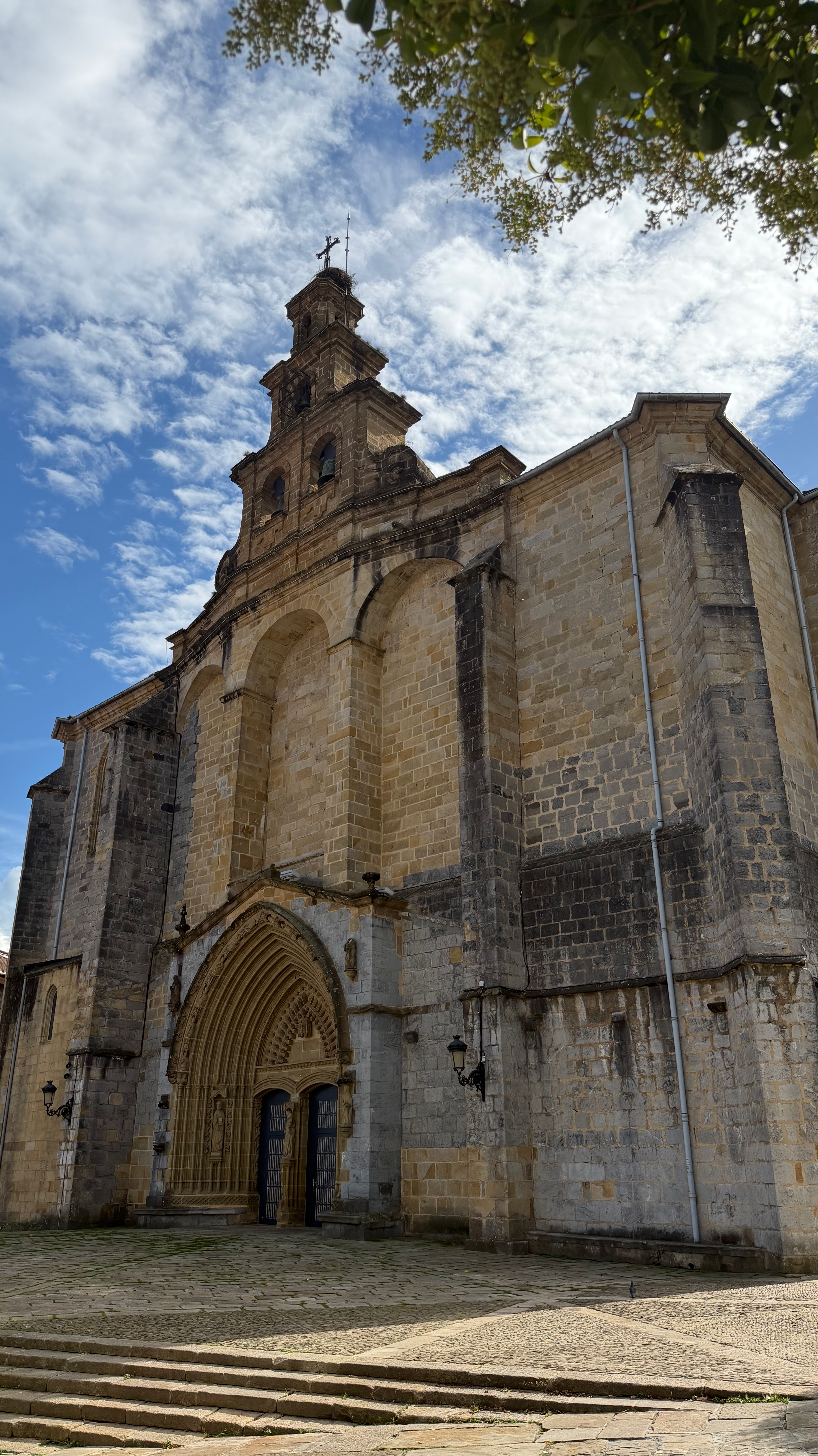
Bilbao
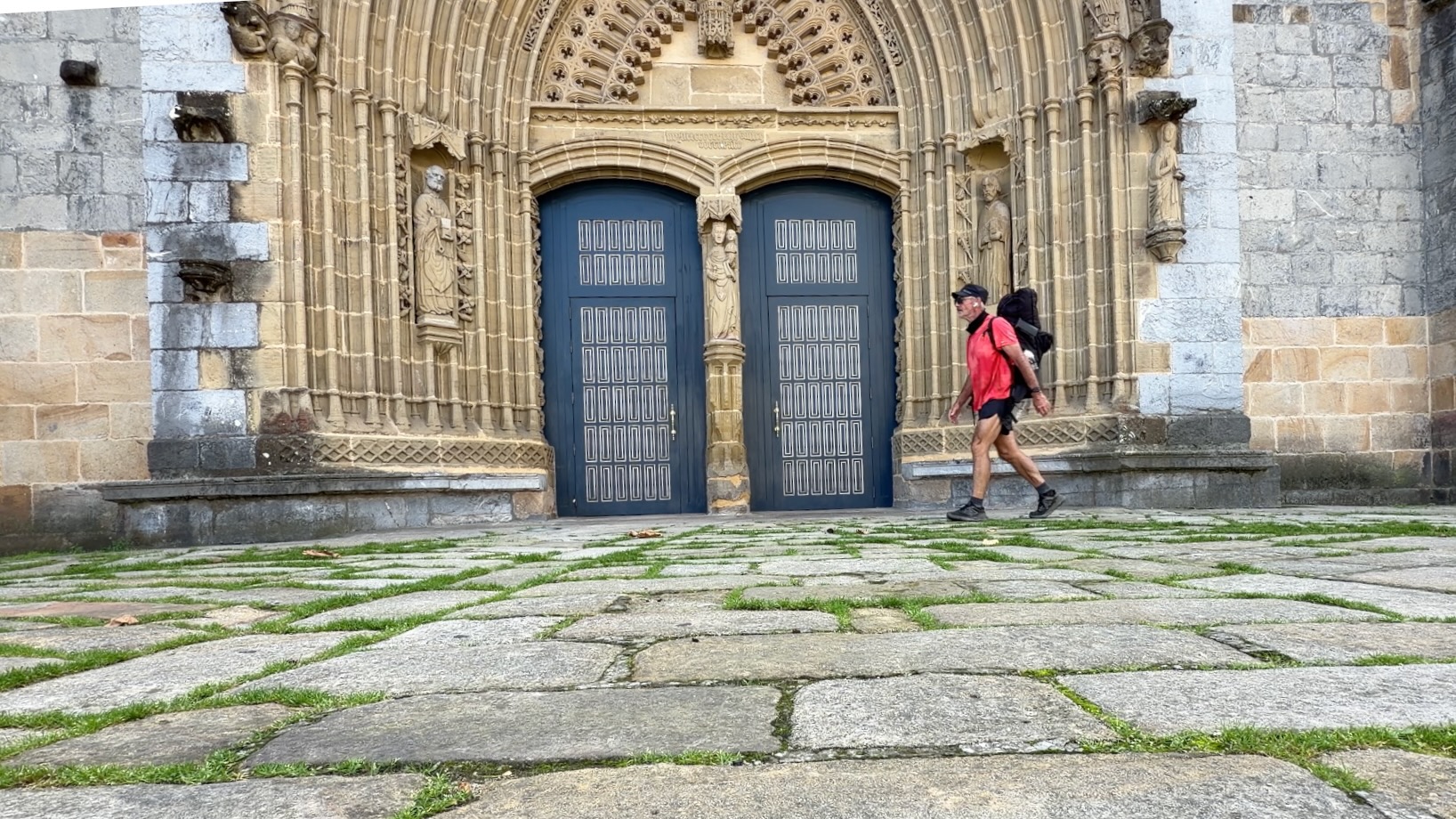
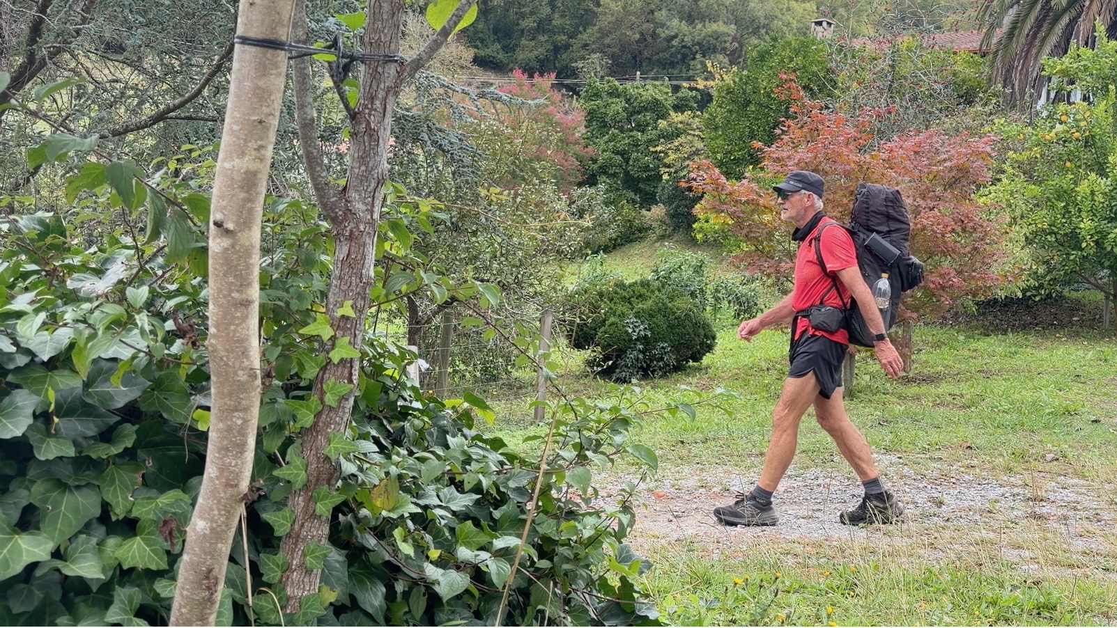
Early enough in the day, I walked on.
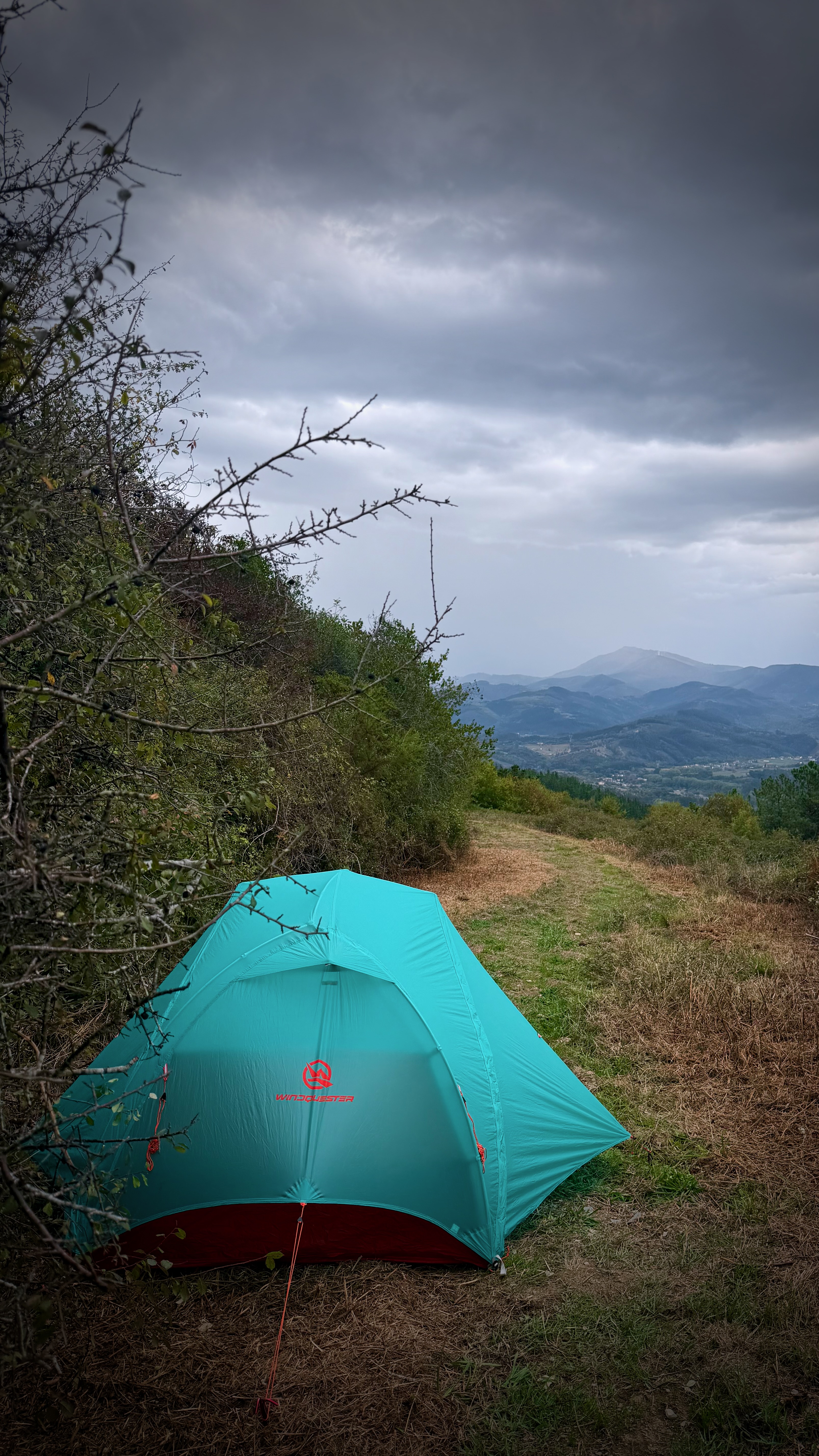
Skies darkened. I decided to wild camp before the rain. This is not legal — except in emergency situations like this one.
Surprisingly, I didn’t hear much about the Basque separatist movement.
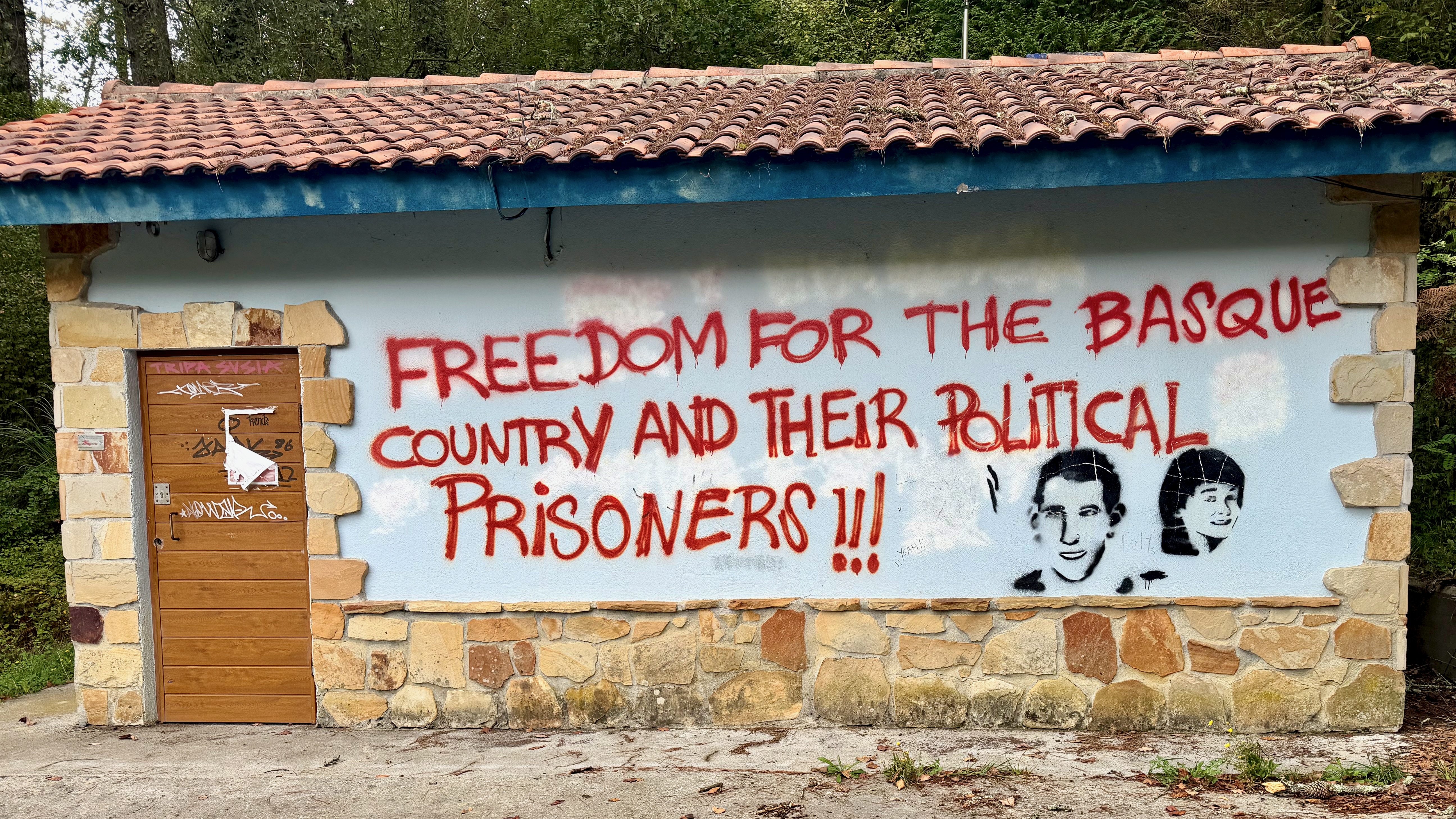
With an even more torrential rain storm looming, I caught the first bus I saw on arrival to civilization to the centre of Bilbao. Happily, I made it to my very cool Pod Hostel before the worst of a deluge.

31 litres of rain / square meter in just a matter of minutes. It does rain in Spain.

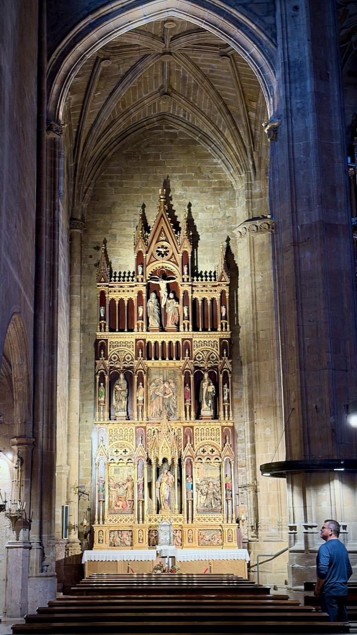
Here I am at the Bilbao Cathedral. The rest of my clothes in the laundry. 😀
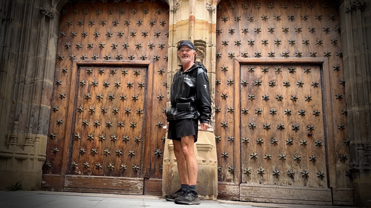
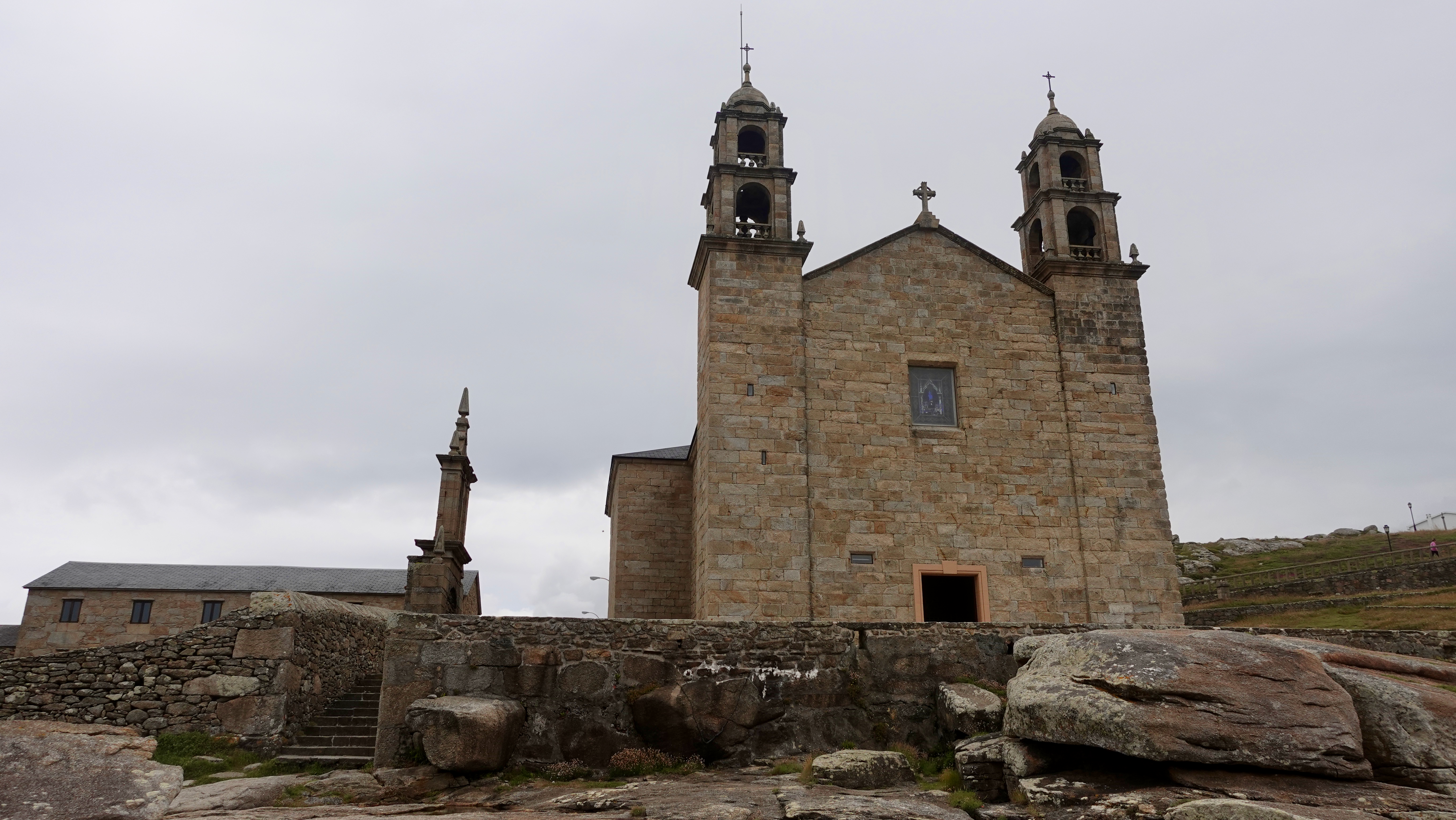
Bilbao Cathedral (Basilica of Saint James)

I’m considering a return to the Camino del Norte in future. Perhaps Vilalba to Santiago de Compostela, the final 100km. It merges with the bustling Camino Francés for the final 2 days of walking.

A Day on the Portuguese Camino de Santiago

Campbell and Alya, the Stingy Nomads, are two of my favourite hiking bloggers. They live in Portugal and have spent a lot of time on the Caminos.

The Portuguese Camino Coastal Route – a guide & walking stages

Click PLAY or watch a typical day on YouTube.

Rain in Spain – Camino Finisterre

Pilgrims who walk or cycle to the Santiago de Compostela Cathedral on the Camino de Santiago celebrate — then decide whether to continue on to Finisterre on the coast. That name is from the Latin for “end of the earth“.

That’s an additional 88.9 km (54 miles) by the most popular route.

This N.W. corner of Spain — Galicia — is the rainiest.

The Stingy Nomads had one of their worst, and best, hiking days while on the Camino Finisterre.

Click PLAY or watch it on YouTube.

Weather was bad when I reached Santiago on my 6 day cycling adventure from León, Spain .

I’m happy I cycled rather than walked. There is a lot of pavement. 😀

I decided to sign up for a very inexpensive (25€) all day van tour offered through my accommodation, the excellent Albergue Seminario Menor:

A Costa da Morte – Finisterre

  • Noia
  • Muros
  • Carnota
  • Corcubión
  • Finisterre

A few photos from my trip:

FINALLY – the Camino de Santiago

I’ve many times been asked IF I’d done the Camino. Surprisingly, the answer was NO. Until now. 😀

The Camino de Santiago … known in English as the Way of St James … is a network of pilgrims’ ways or pilgrimages leading to the shrine of the apostle Saint James the Great in the cathedral of Santiago de Compostela in Galicia in northwestern Spain, where tradition holds that the remains of the apostle are buried.

As with most hikes that can be cycled, I prefer to cycle. At least 10% of pilgrims cycle rather than walk or arrive on horseback. They are known as ‘bicigrinos’ or ‘bicigrinas’, bike pilgrims.

My PLAN is to ride León to the famous cathedral. About 325km. Perhaps a week. No rush.

The total length starting in France is 825km.

You need to cycle at least 200km in order to receive a Compostela certificate in Santiago (as opposed to minimum 100km walking).

Nearly 350,000 Compostela pilgrim certificates were issued in 2019. I won’t be lonely. 😀

The Camino Francés, or French Way, is by far the most popular of many routes. Roughly 60% of pilgrims choose this camino over other options.

Though no guidebook is needed, I picked up a paper copy of Mike Wells’ Cycling the Camino de Santiago (2019). I’d listened to a good interview with the author.

Wish me luck.

Many folks only know the famous pilgrimage from the 2010 Martin Sheen movie. It’s very good, by the way.

Click PLAY or watch the trailer on YouTube.

The Fight for America’s Public Lands

Trump and the Republican Party have been ruthless for 4-years selling out public land to rich supporters and corporations. The Environmental Protection Agency has weakened regulations.

For example, a Judge removed Trump public lands chief —a former oil industry attorney — who’d been working in that position illegally. 

Patagonia has just released The Fight for America’s Public Lands.

A feature-length documentary about America’s system of public lands and the fight to protect them.

Despite support from voters across the political spectrum, our public lands face unprecedented threats from extractive industries and the politicians in their pockets.

Part love letter, part political exposé, Public Trust investigates how we arrived at this precarious moment through three heated conflicts—a national monument in the Utah desert, a mine in the Boundary Waters and oil drilling in the Arctic National Wildlife Refuge—and makes a case for their continued protection.

Take action to protect our public lands.

Text DEFEND to 71333.

Learn more about ‘Public Trust’ here.

Click PLAY or watch the trailer on YouTube.

OR Click PLAY or watch the entire documentary on YouTube.

hiking out of Manali and Dharmsala

I’m considering hiking the Indian Himalaya starting sometime July 2020.

Here are a few of the treks I’m considering.

Trekking Guide to the Western Himalayas

by Depi Chaudhry

Popular guided hikes out of Manali include:

Beas Kund (2-3 days)
Pin Parvati Pass (8 – 11 days) – DANGEROUS
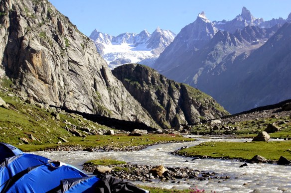
Hamta Pass to Lahaul (5 days)

Ideally I’d like to hike there independently. But I might want to start with one guided hike.

BlogImageUrl17

Leave a reply if you have advice for me. Thanks.

visiting sacred Muktinath, Nepal

Trip report by BestHike editor Rick McCharles – day 1 | 2 | 3/4

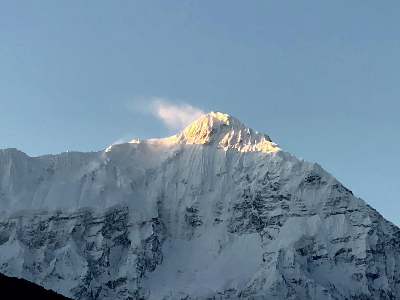
Waking up in Kagbeni, the morning sky was perfect.

Niligiri North (7061m) from the rooftop

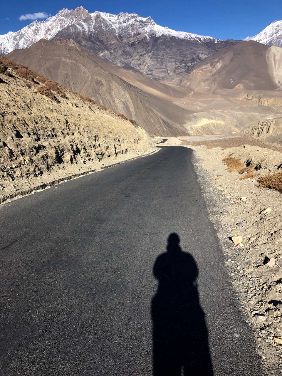
I thought I might catch a bus or shared jeep up to Muktinath so started walking the (shockingly paved) main drag.

I ended up on foot for 3-4 hours, but still enjoyed the road walk.

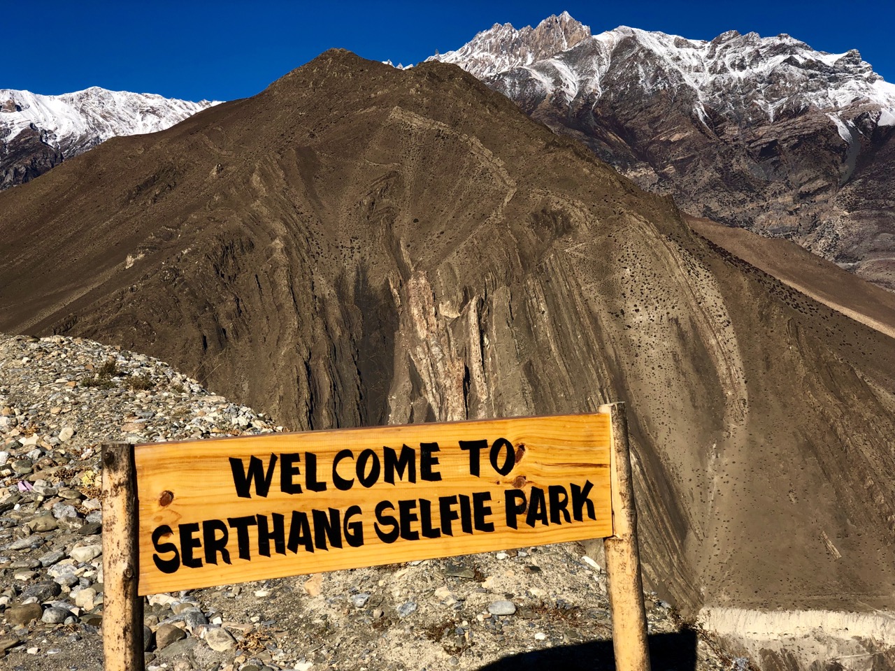
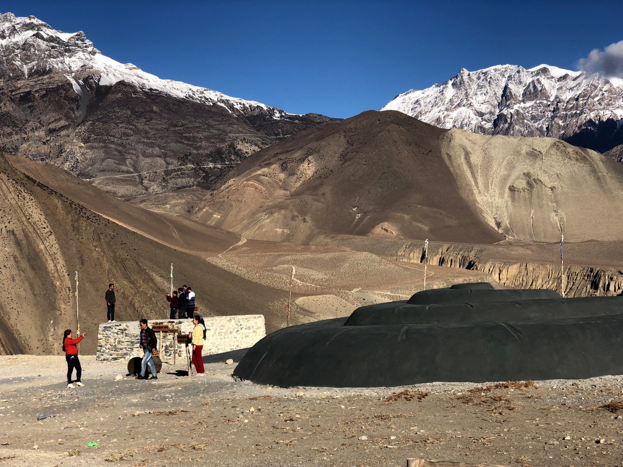
The highlight was weird Serthang Selfie Park. Yep, everyone stops here to take selfies.

Happily, this viewpoint is protected from evil spirits including ZOMBIES.

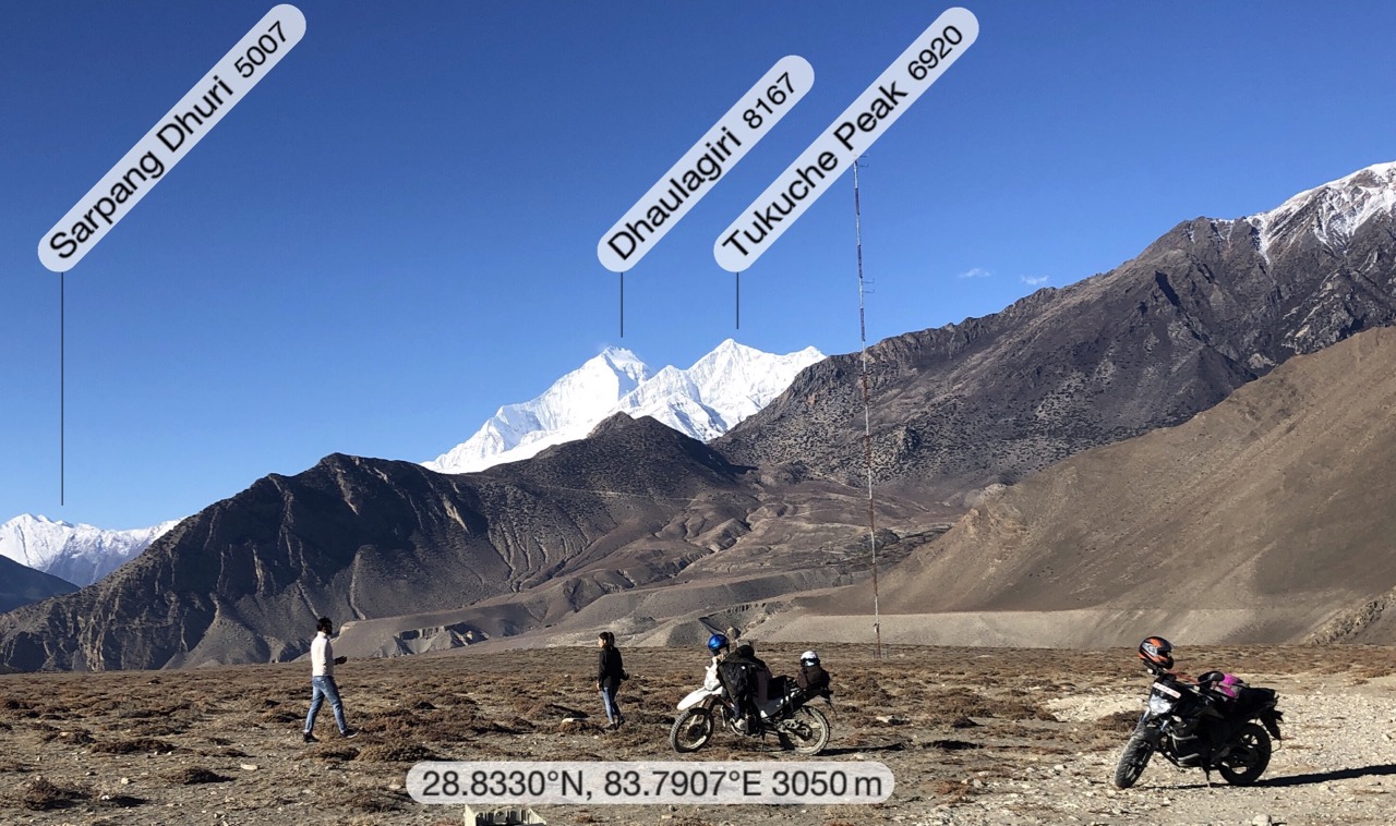
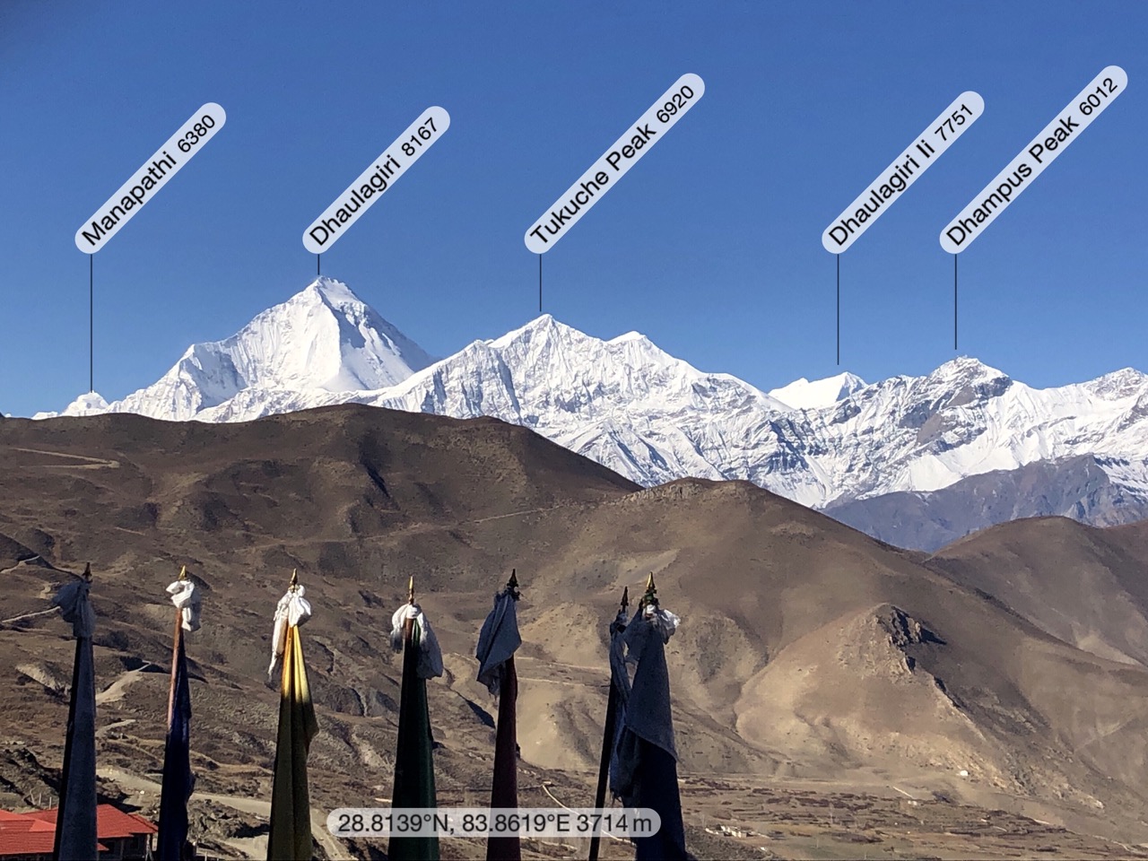
I stopped too as it was my first look at massive Dhaulagiri (8167m).

Walking asphalt is super easy. And the views kept getting better.

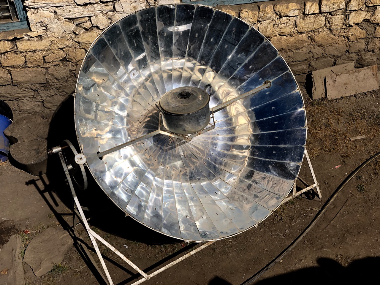
In arid Tibetan lands these solar powered water boilers are popular.

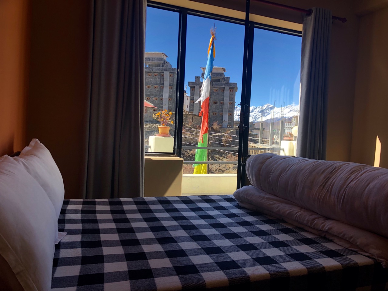
On arrival in Ranipauwa (3710m) I went straight to Mustang Cycle to organize my bike for the next day. They recommended the newest lodge. Probably the best room I’ve had, so far.

Muktinath (3800m) is one of the holiest pilgrimage sites in the Nepali Himalaya for both Hindus and Buddhists. There are far more pilgrims than trekkers at any given time.

In the afternoon I walked up to the main temple complex above town.

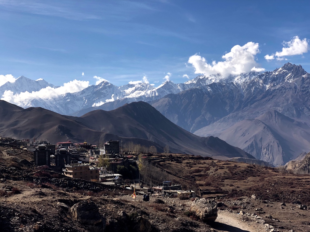
Muktinath (3800m) looking back to the village.

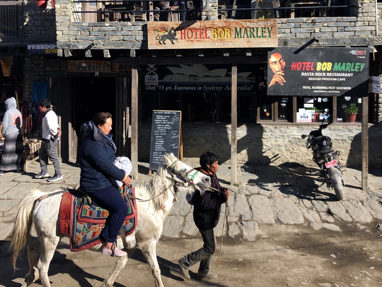
Many pilgrims choose to ride horseback. Indeed, this seems the biggest industry in town.

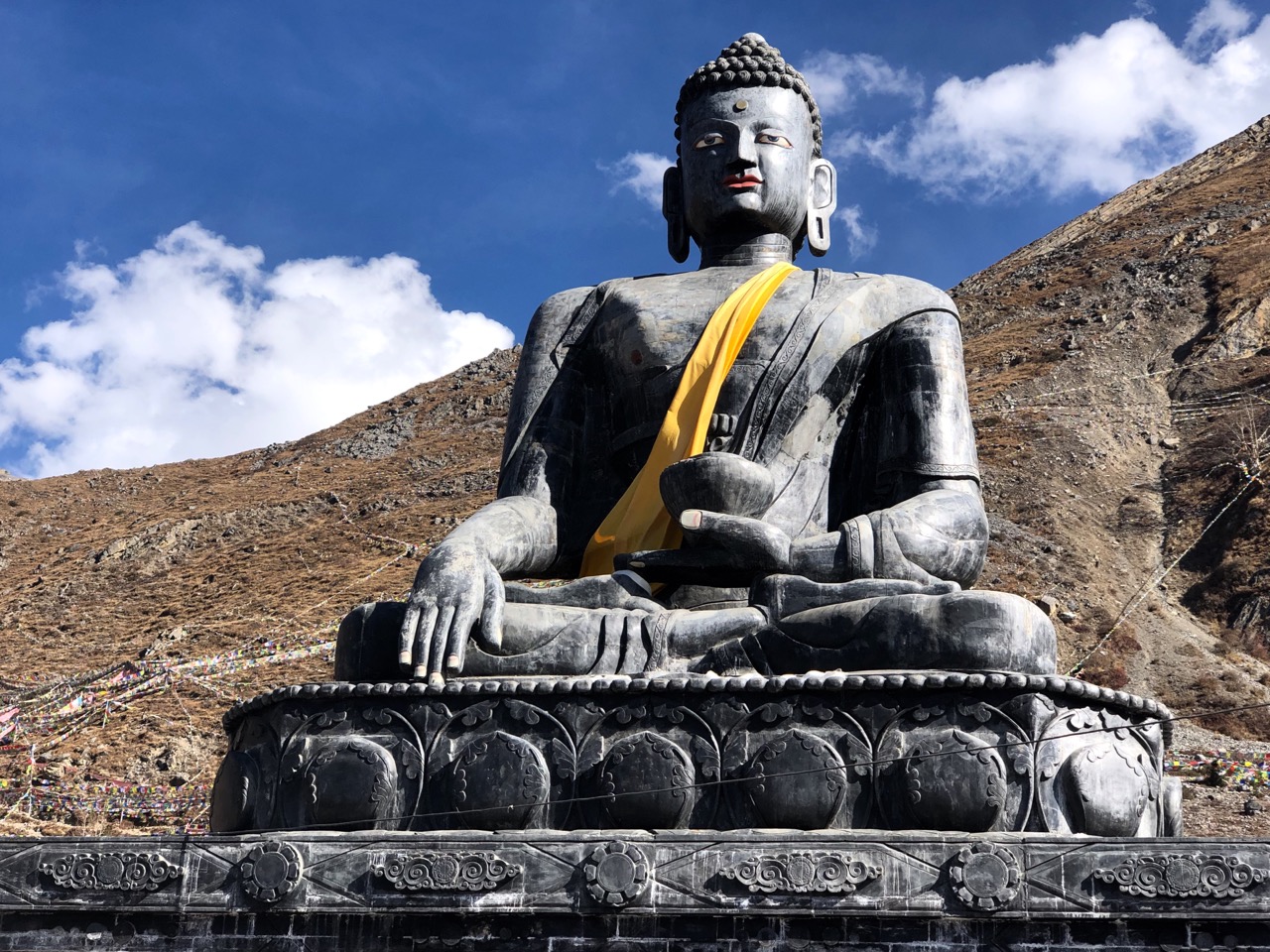
It’s easy to get confused as to what’s a Buddhist temple and what’s a Shiva temple.

Vishnu is worshipped here as Muktinath, the Lord of Salvation, 􏰩􏰟while Buddhists associate the deity with Chenresig, the Tibetan bodhisattva of compassion (yes, it’s complicated).

From there I continued over 2 suspension bridges to the village of Jhong (Dzong; 3580m) on the other side of the ‘river’.

Six years ago one huge statue of Shiva was under construction. I sat on the roof at dusk, I recall. It’s finished now.

Great views from up there.

Muktinath in November is also filled with relieved trekkers having successfully crossed Thorung La (5416m) on the Annapurna Circuit, the highest most will ever climb.

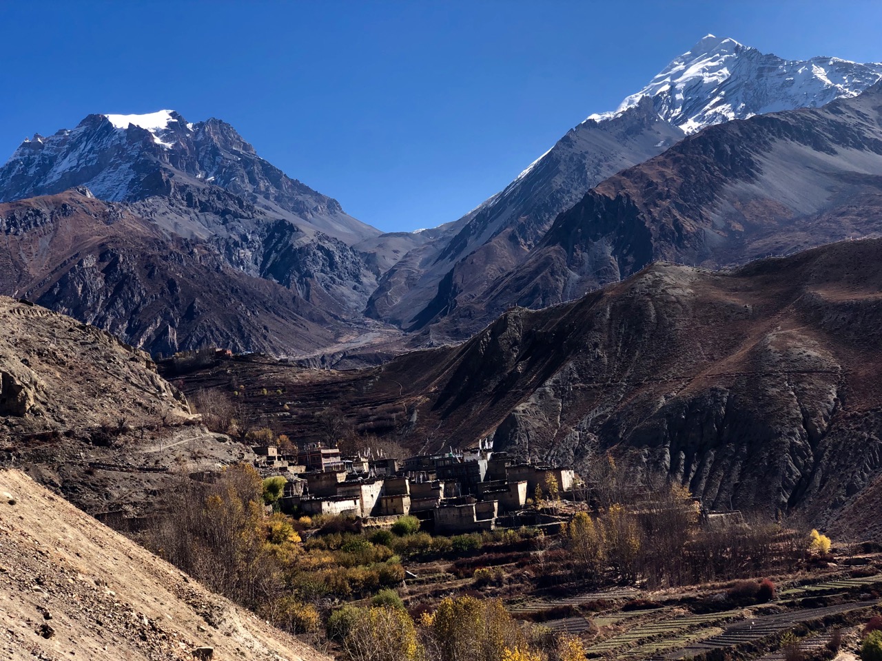
That’s it between the peaks. It snowed up there during yesterday’s crossing.

Trip report by BestHike editor Rick McCharles – day 1 | 2 | 3/4

visiting Kagbeni, Nepal

Trip report by BestHike editor Rick McCharles – day 1 | 2 | 3/4
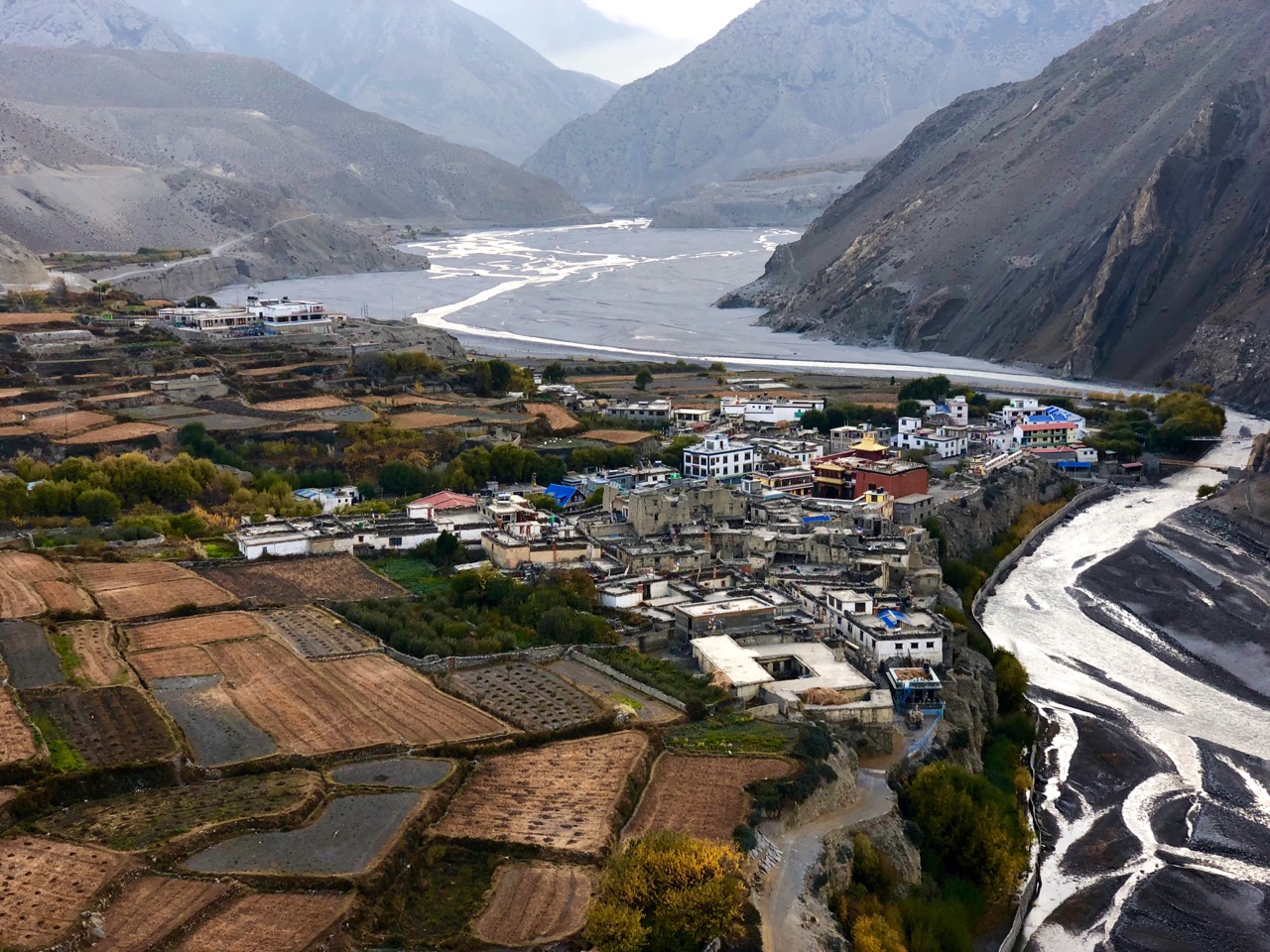
One of my favourite places in Nepal.  Medieval Tibetan-style Kagbeni village is weird and wonderful.
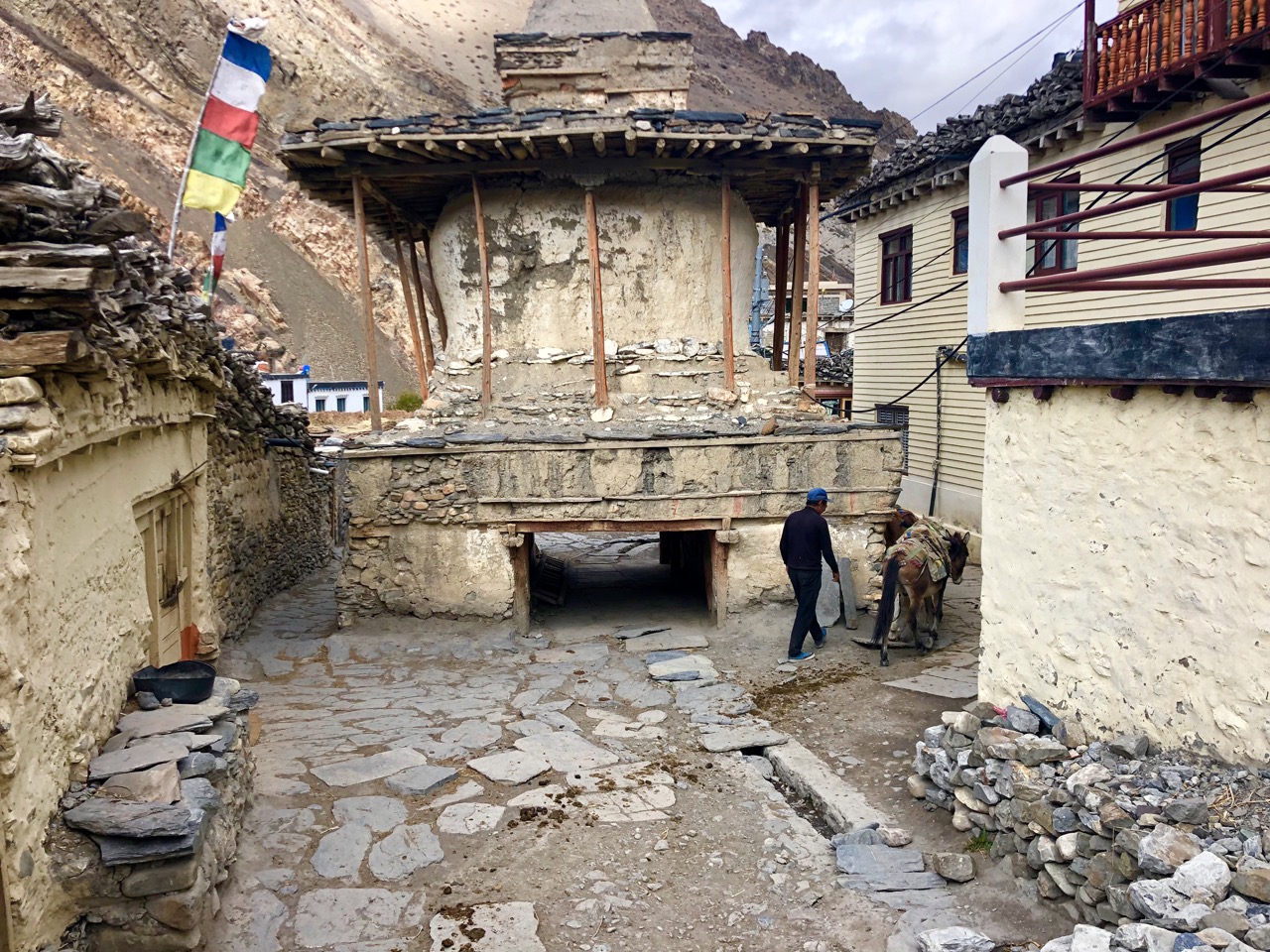
… closely packed mud houses, dark tunnels and alleys, imposing chortens and a large, ochre-coloured gompa perched above the town. …
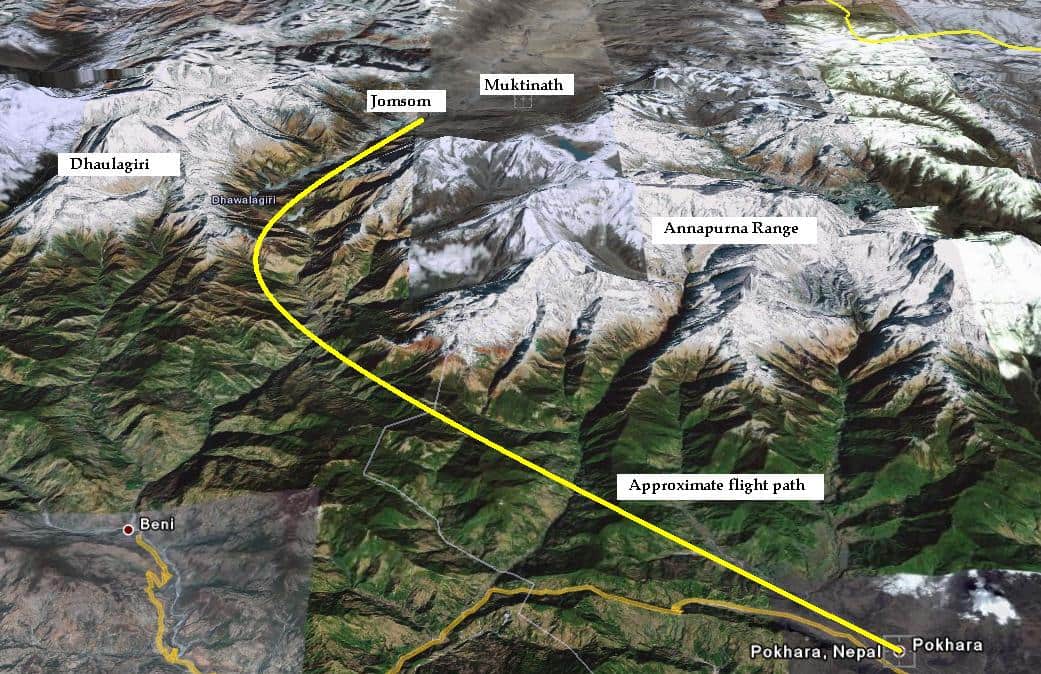
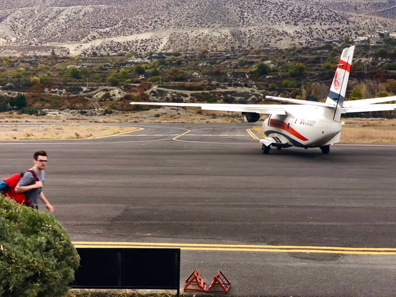
I flew from Pokhara 6:15am. Earlier the better for Himalayan flights. They get cancelled when wind comes up.

Arriving Jomsom (2760m)

I had breakfast and hung around until 10am to see if I could buy an NTC sim card for my phone. It’s the best network for the high Annapurna.
No luck. Only Nepalis can buy those in Jomsom, I was told.
I left immediately as Jomsom is a place you only visit because of the airport.
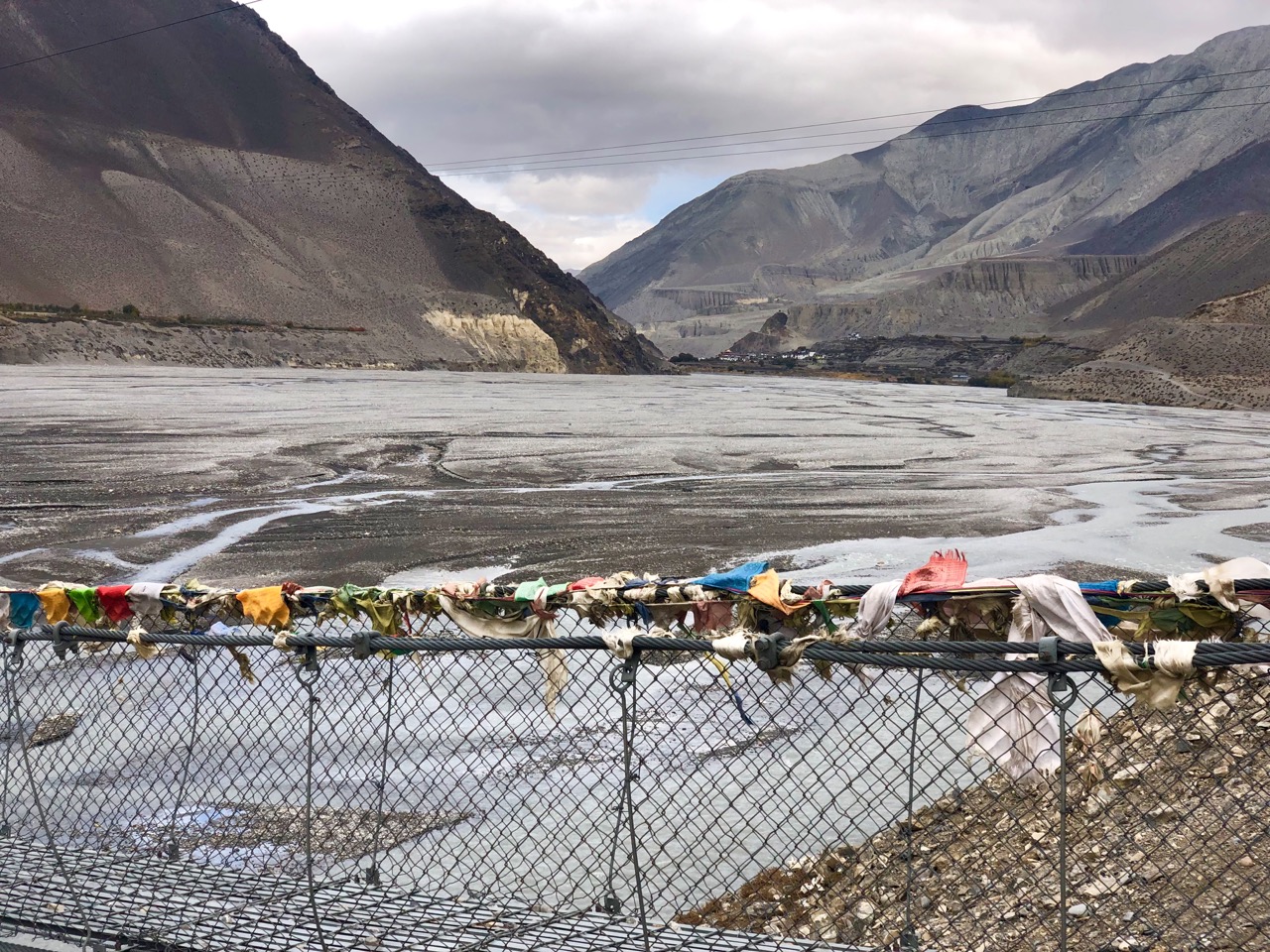
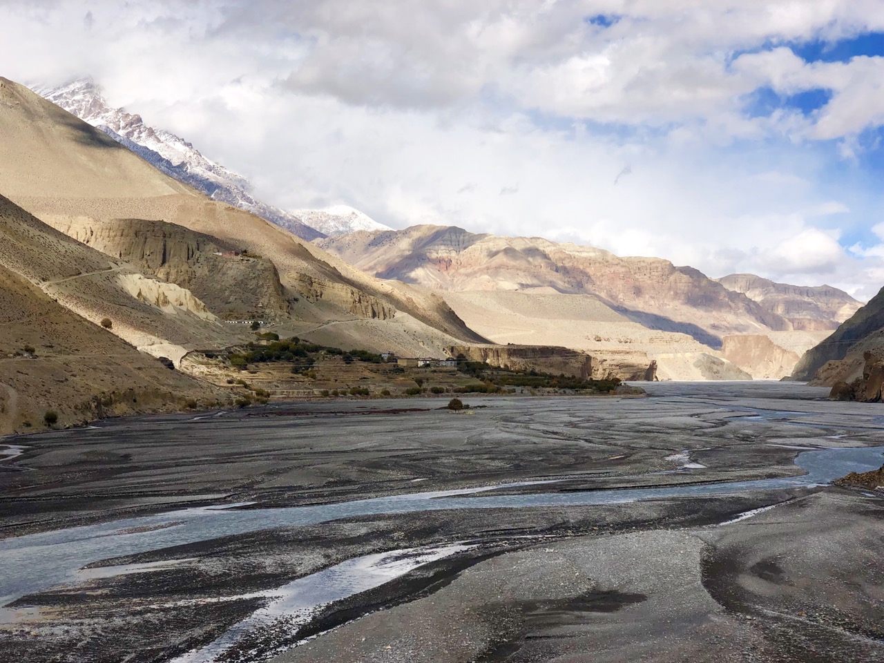
10am I started the easy walk up to Kagbeni (2840m). You can take the dusty road. Or walk aside barren Kali Gandaki, the river separating Annapurna from Dhaulagiri (8167m).
Another reason to come here in November rather than April is being able to stay off the road more.
It was good to be getting back to Tibet. Kagbeni is far more Tibetan than Nepali.
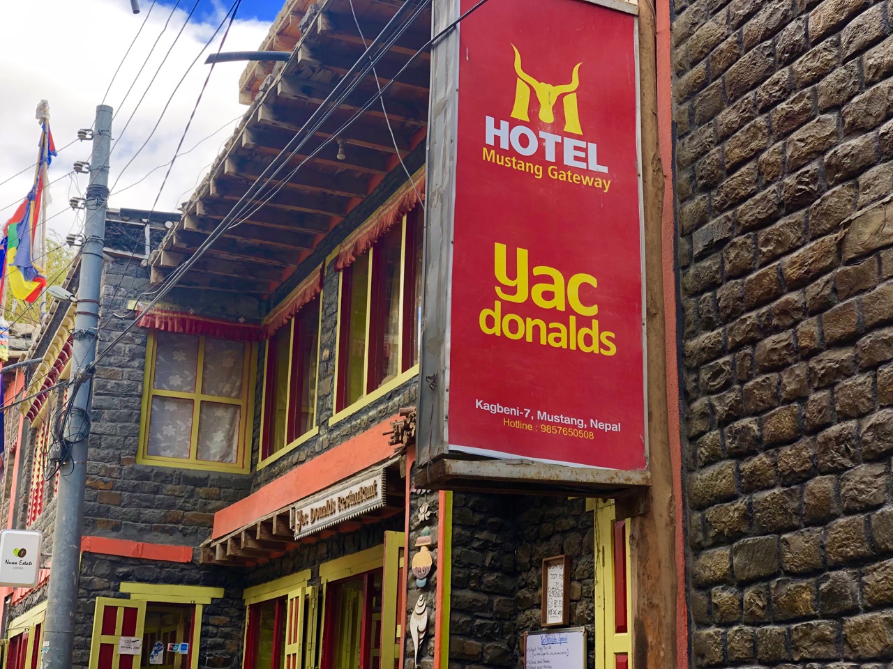
And Kagbeni looks much the same as it did when I first visited in the 1990s. Aside from Yac donalds.
On arrival I immediately headed for another new business – Cafe Applebees. It’s an upscale, modern coffee shop … but with excellent views to the forbidden kingdom of upper Mustang.
I’m still planning on taking a guided trip to Mustang. One day.
One place in Upper Mustang you ARE allowed to visit without a restricted-area is Tiri village. To get there you cross a bridge over the Kali Gandaki and hike about 45min on the west bank of the valley.
I do love the light in Tibet.
Here’s the view looking back to Kagbeni.
On my return I walked the river.
The other highlight of Kagbeni is Kagchode Thubten Sampheling Gompa, a Buddhist Monastery dating back to 1429.
It was guarded by Ram.
Arriving on the 5th day of a 5-day festival, many monks were in attendance. Throat singing, huge horns, cymbals and percussion. I doubt much has changed here since 1429.

Click PLAY or watch a short video on YouTube.

Trip report by BestHike editor Rick McCharles – day 1 | 2 | 3/4

WHAT happened to Nepal’s Royal Trek?

trip report by BestHike editor Rick McCharles

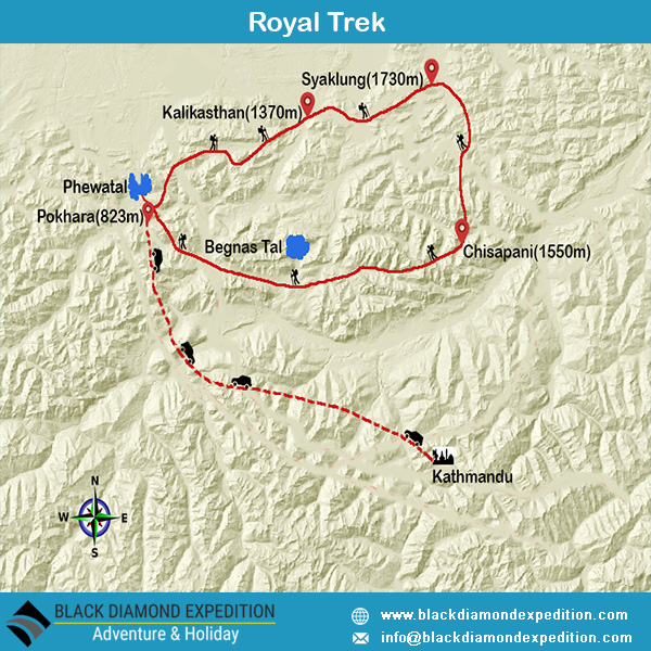
The Royal Trek was named because Prince Charles and his 90 person entourage followed this route in 1981 shortly before he married Princess Diana.

It was once a BIG DEAL. Mick Jagger did it too, for example.

Some walked a loop to and from Pokhara. It was jungle.

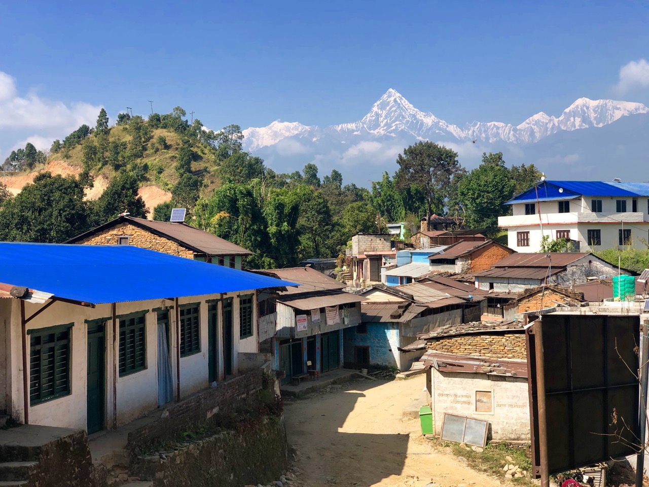
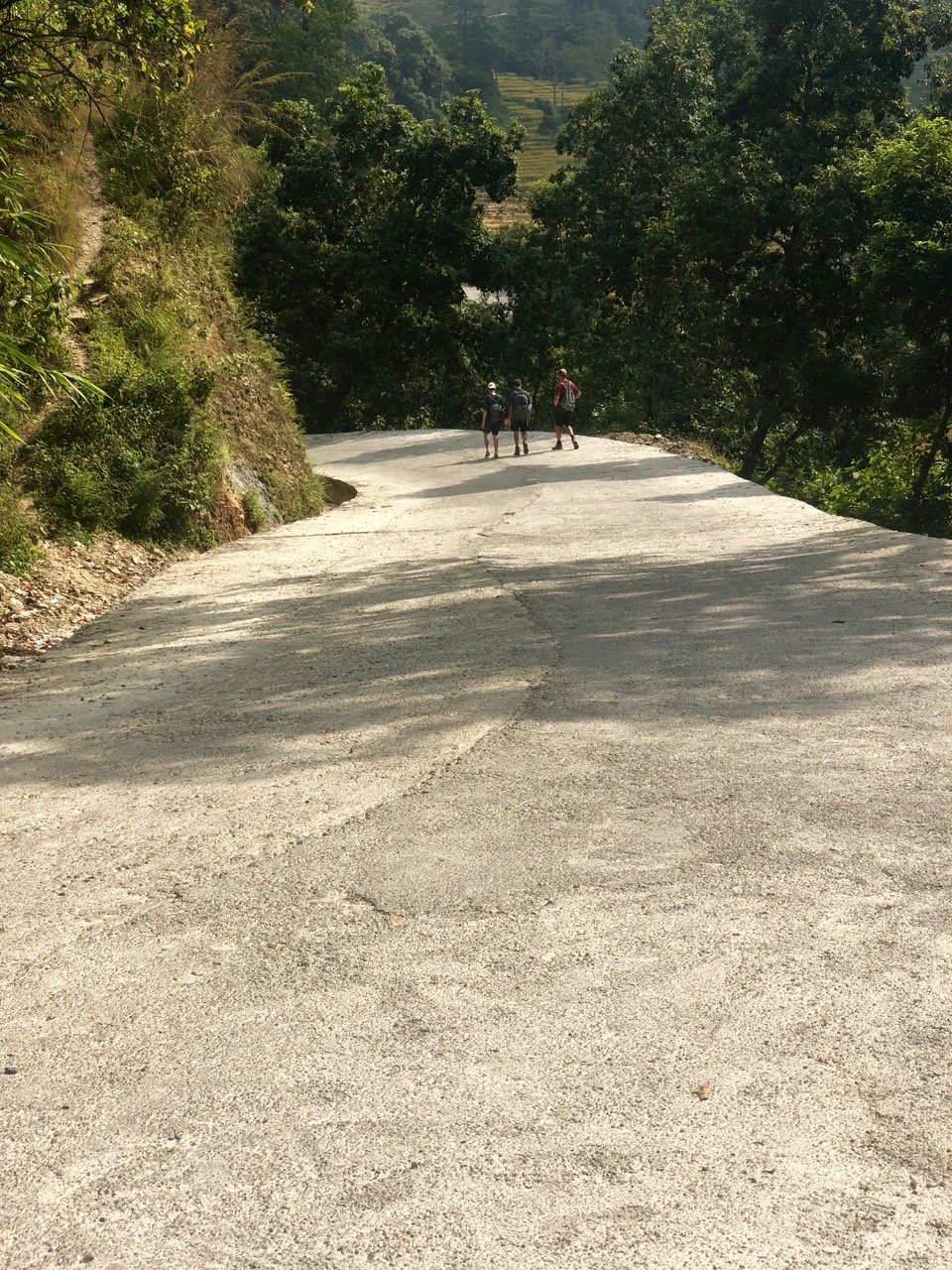
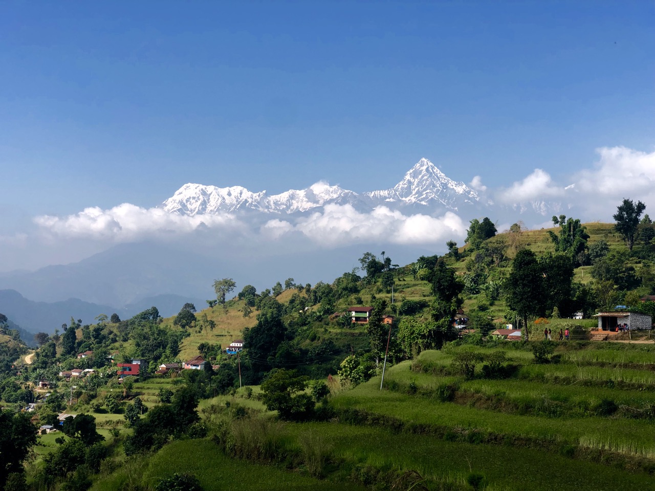
But by 2019 (during the dry season) you could drive most of this route. Take a taxi to any of these villages. Buses run to each, in fact.

Road building has degraded the experience to the point where very few hikers now visit.

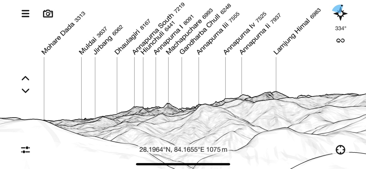
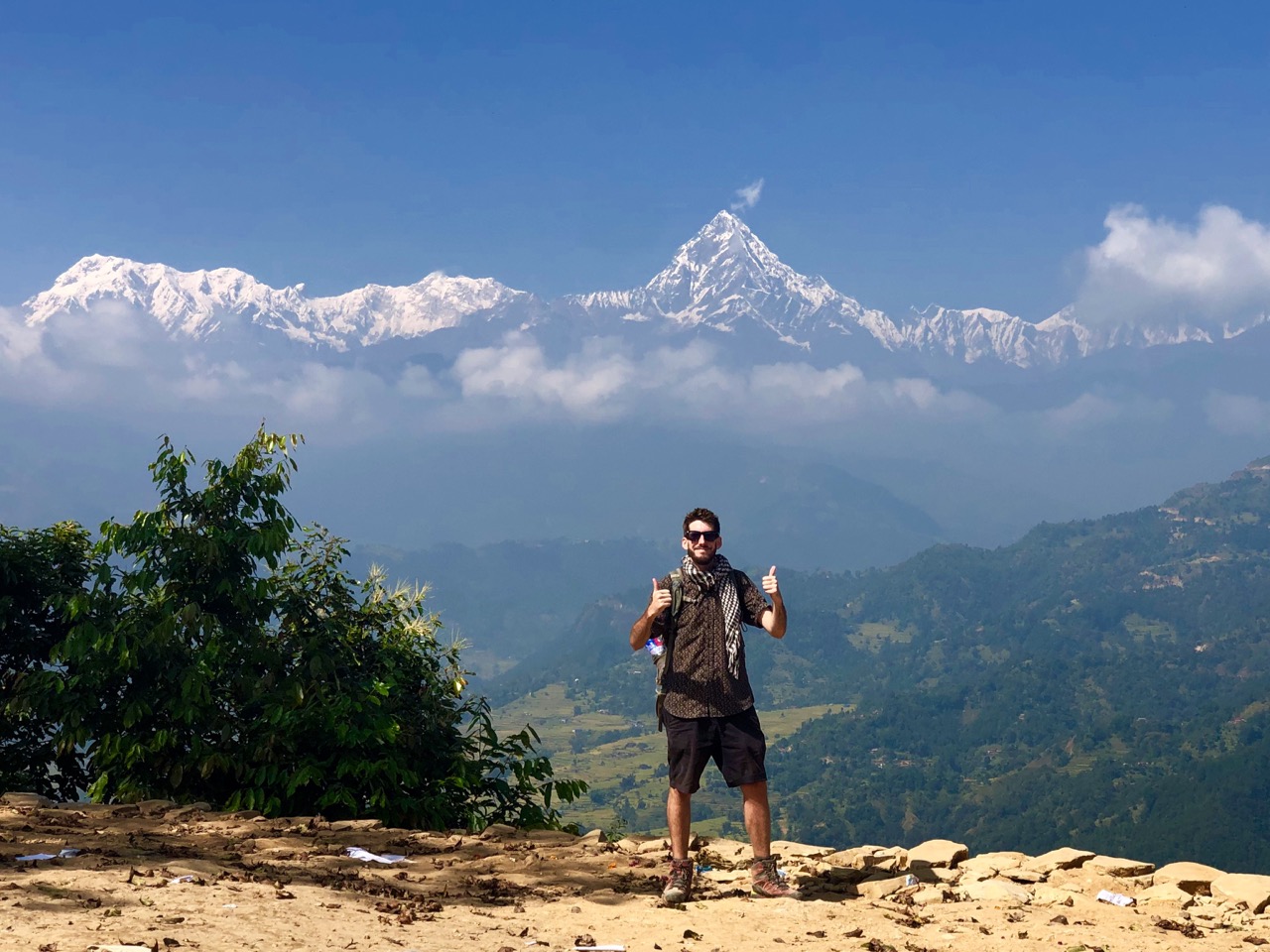
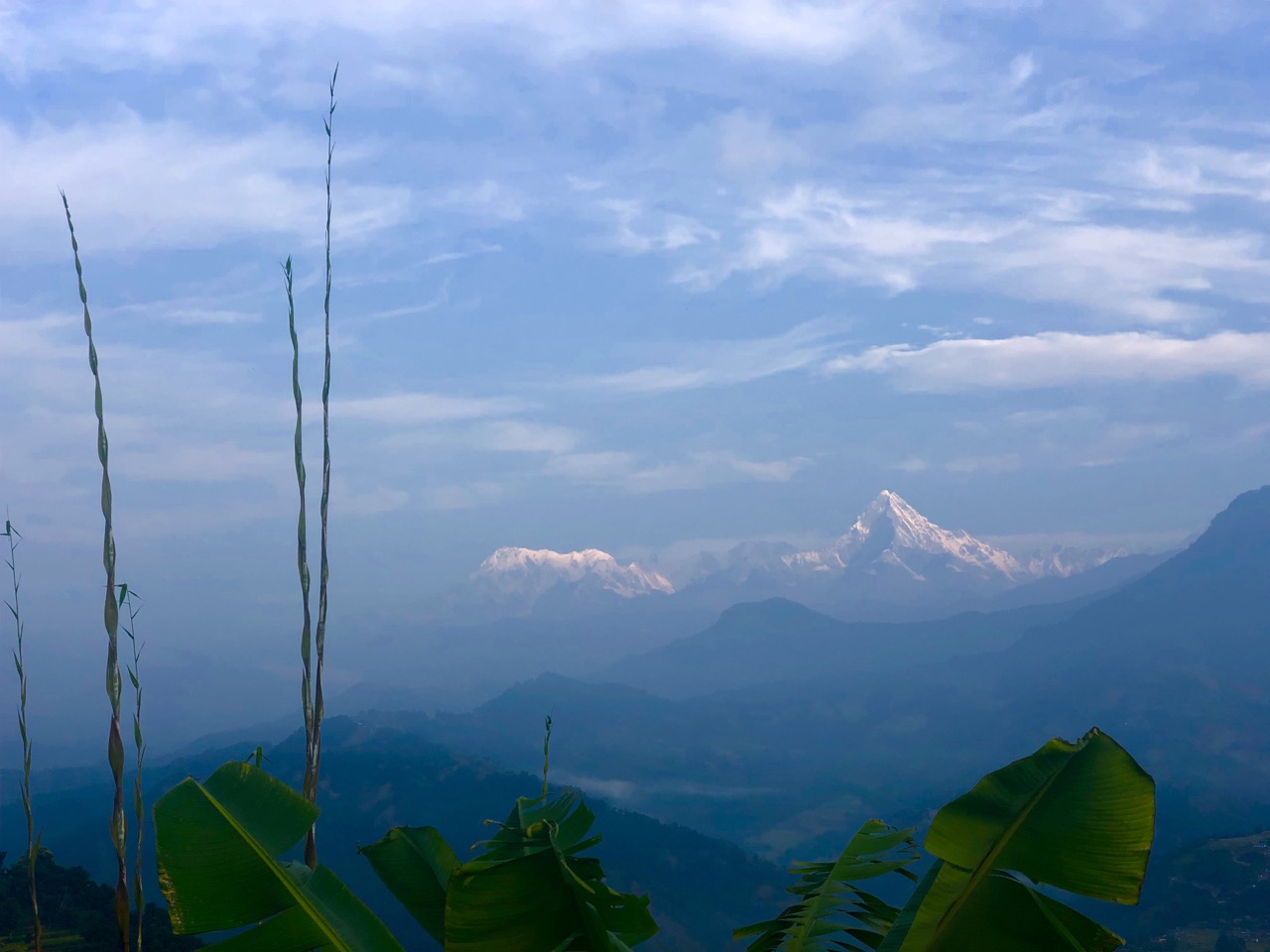
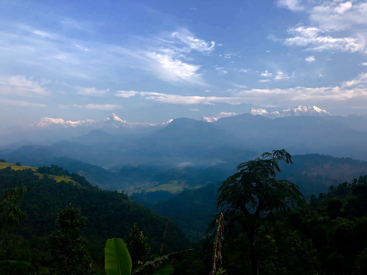
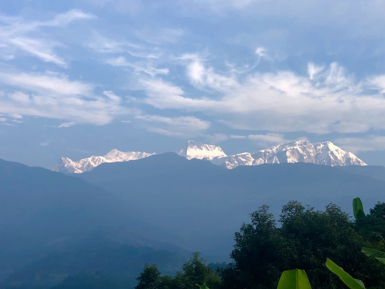
That’s a shame because it’s a great way to see three of the highest peaks in the world from one spot: Manaslu 8,156m, Annapurna 8,091m, Dhaulagiri 8,167m.

Companies will still guide you. 9 days for $600 and up.

We did it independently in 2 days. Walked no more than 35 km.

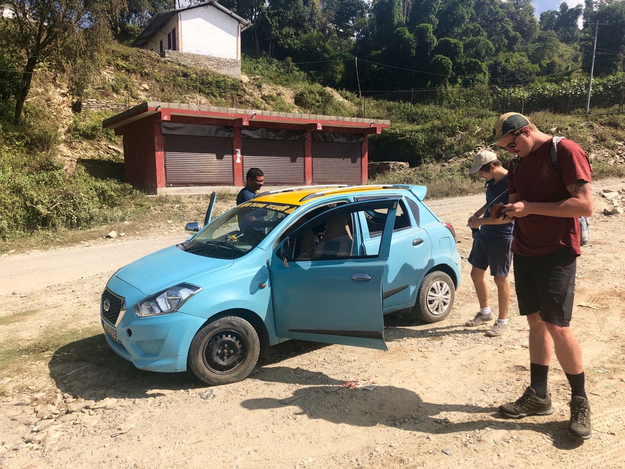
A taxi from Lakeside, Pokhara to Kalikasthan cost $26.

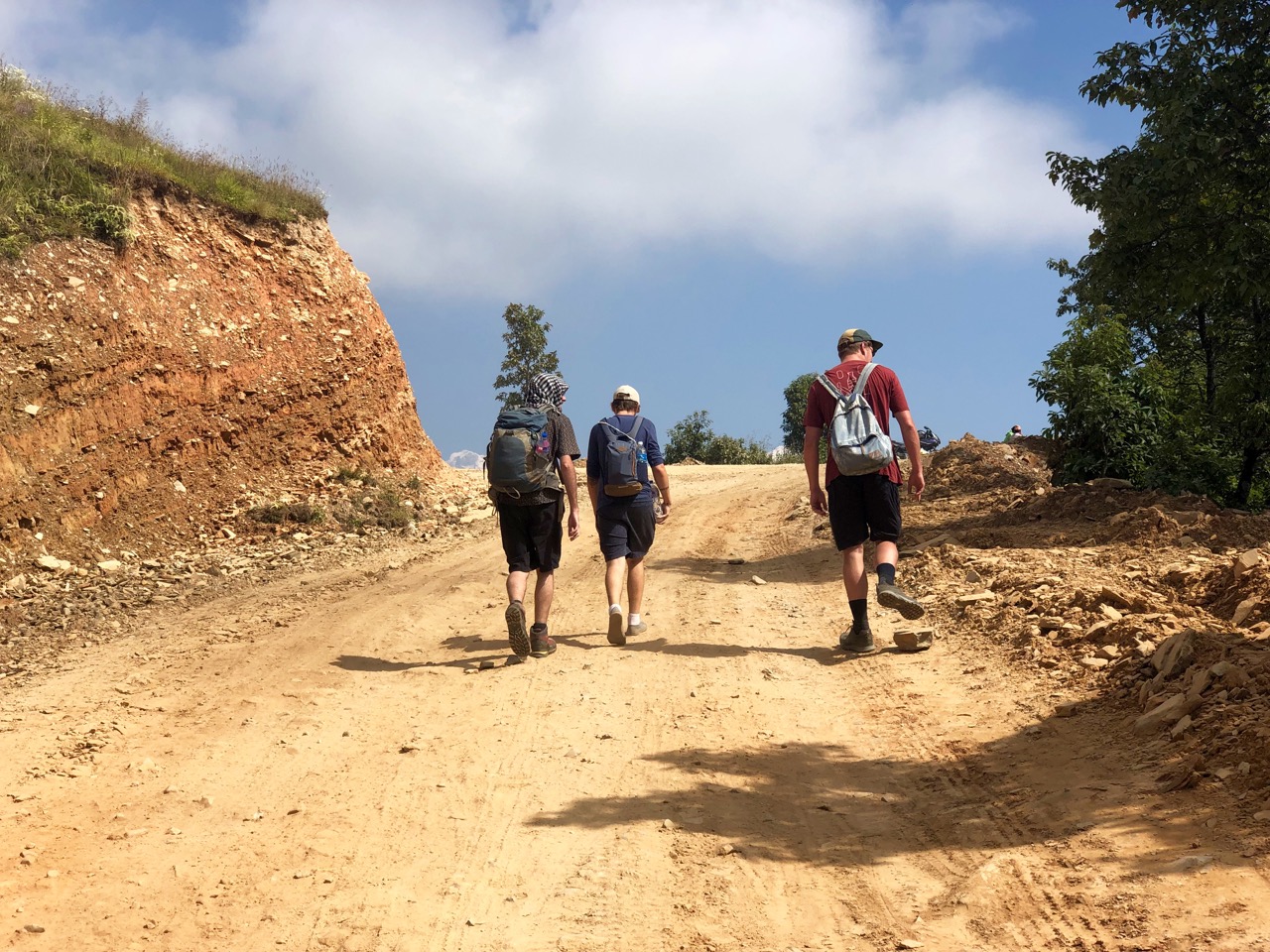
It’s almost entirely a road walk now. Dusty at times.

Do not go unless the weather is clear. You want to see the big mountains including Machapuchhre (Fishtail).

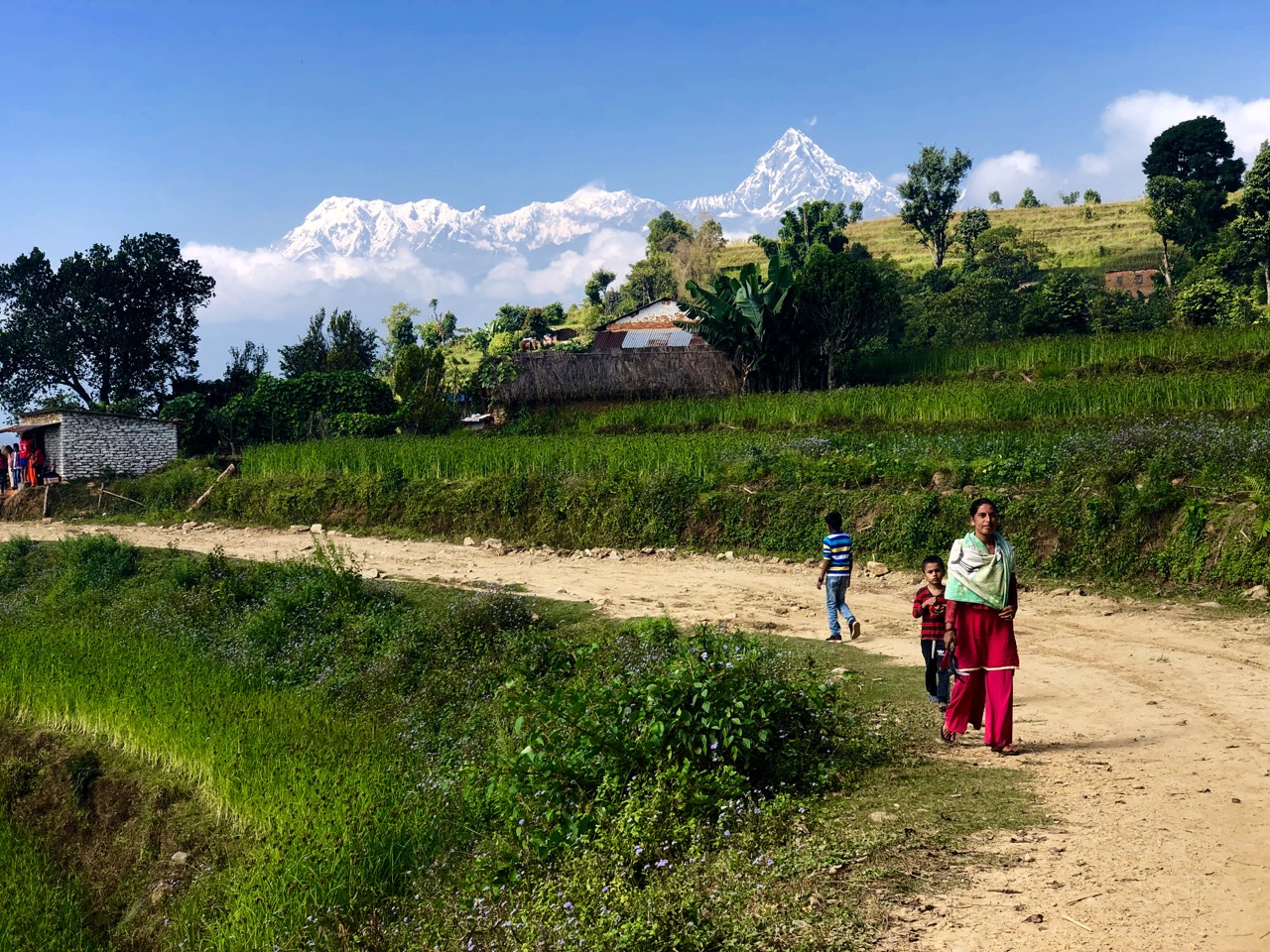
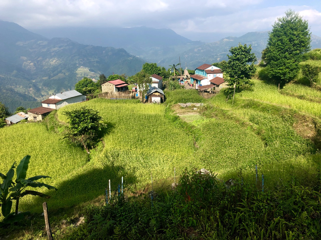
The highlight for us was not the mountains, however, but learning about Gurung village life in the foothills.

You’ve heard of the Gurungs. They’ve been prominent soldiers in Nepalese, British and Indian armies.

Winter is coming. They were bringing in firewood.

Every village now has water pipes. But in the old days it was carried up from far below. Rain collected in giant concrete cisterns.

Our plan was to hike to Syaklung where I assured the guys there should be plenty of guest houses and restaurants.

Despite having 3 online map apps and a hard copy of the Around Pokhara Valley map, our main method of navigation was to ask people ‘which way to the Royal Trek?’

Eventually … we were lost.

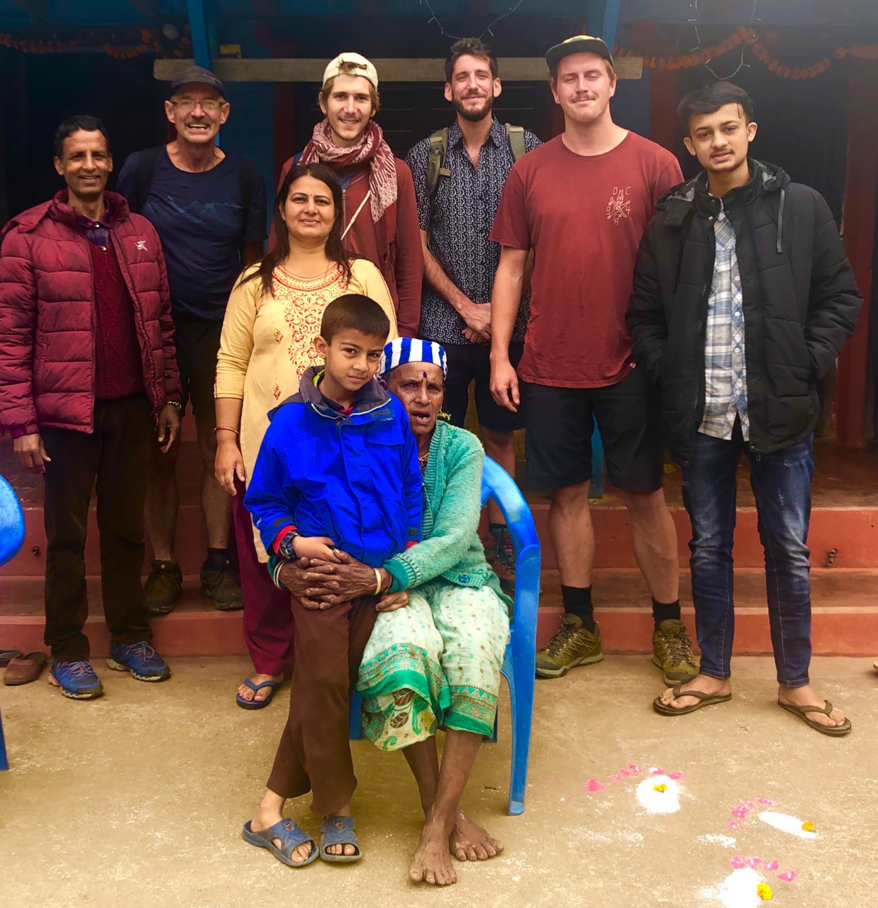
Backtracking to the village of Lipeyani, we were incredibly fortunate to meet a gentleman named Rishi who had come up to the family farm for the Diwali festival. We met his people too.

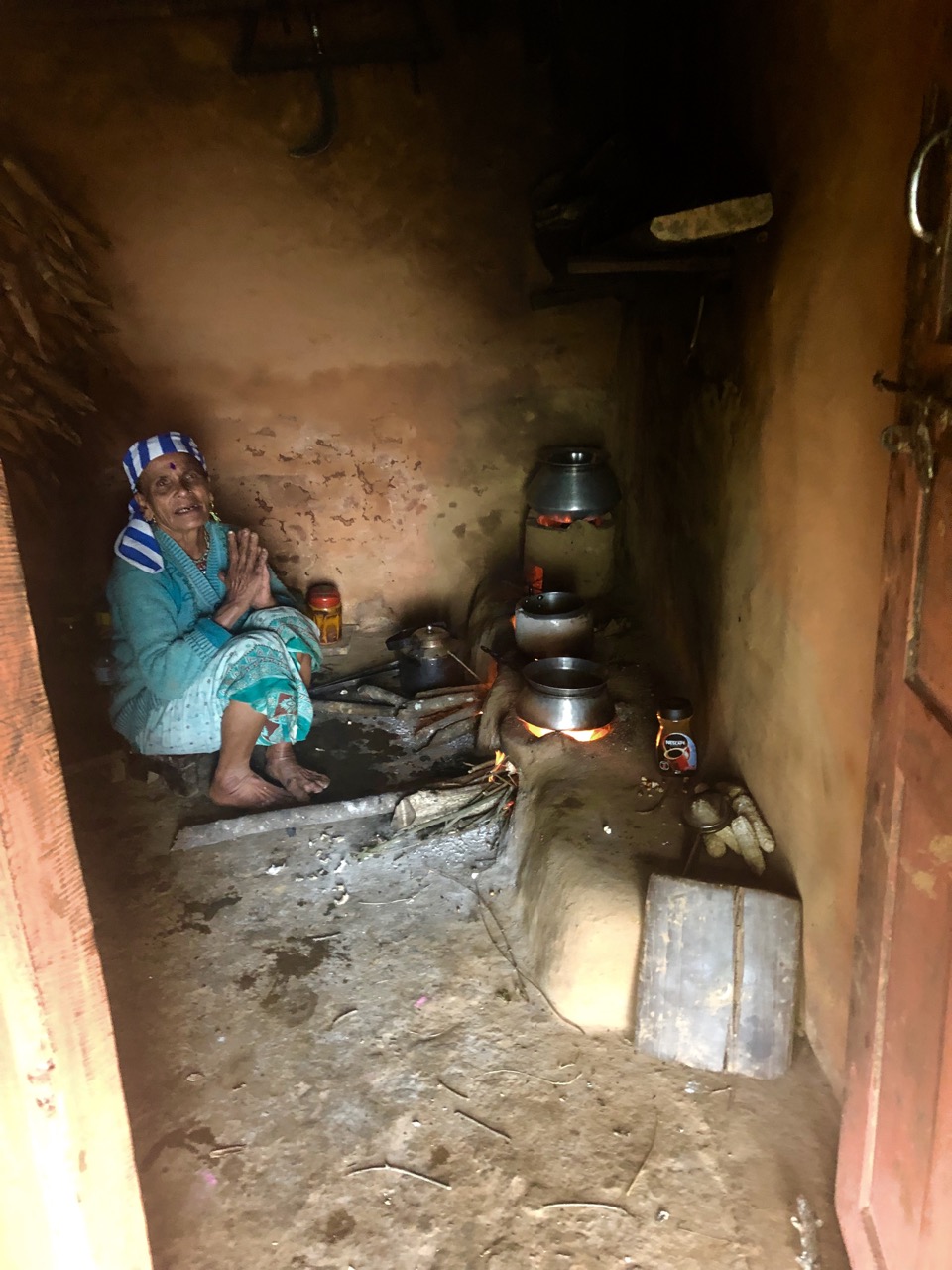
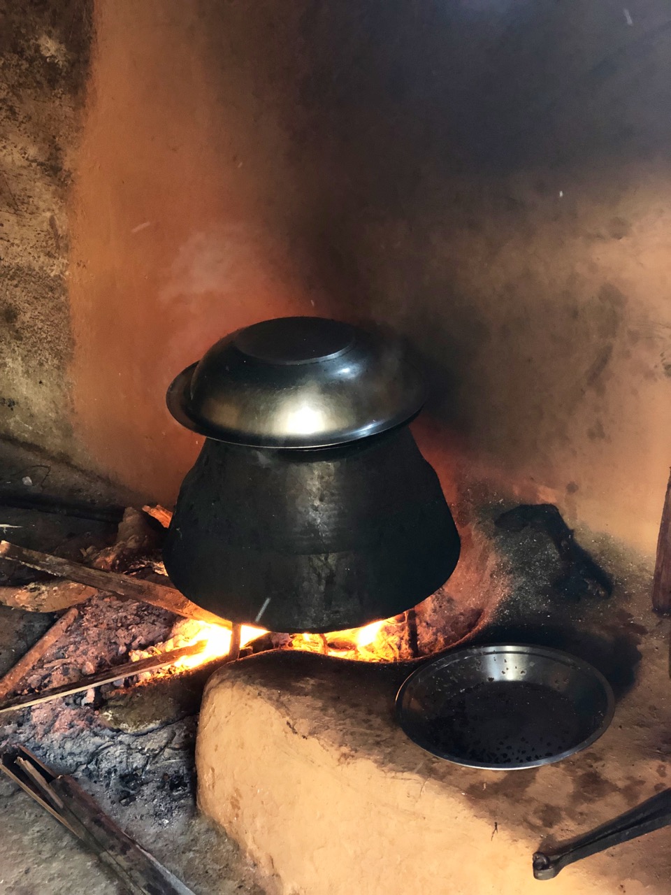
Moma is age-71, but still works the farm. Her eyes have been damaged from decades of cooking smoke.

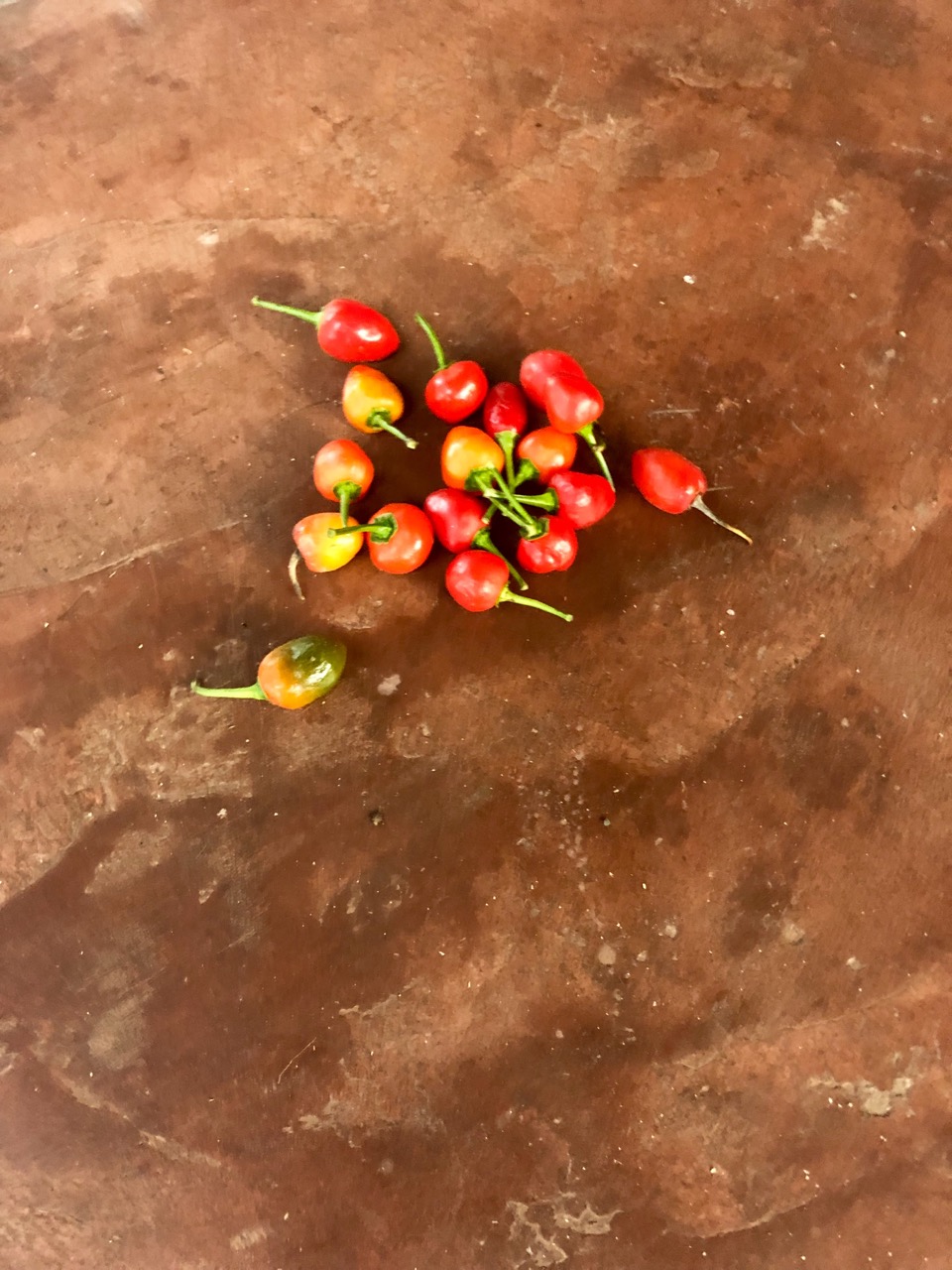
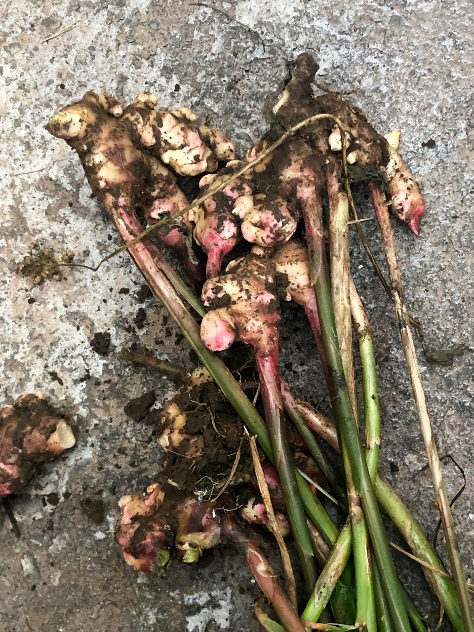
She picked fresh ginger and chilies. Their small, hard oranges were excellent too.

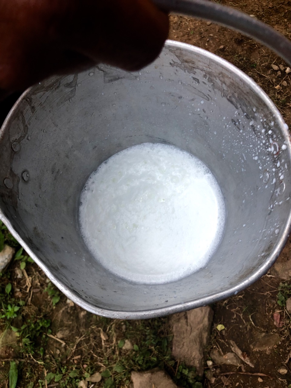
Rishi’s brother brought fresh buffalo milk for our coffee (Nescafe).

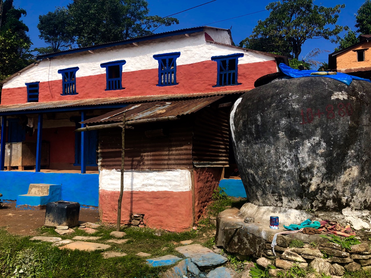
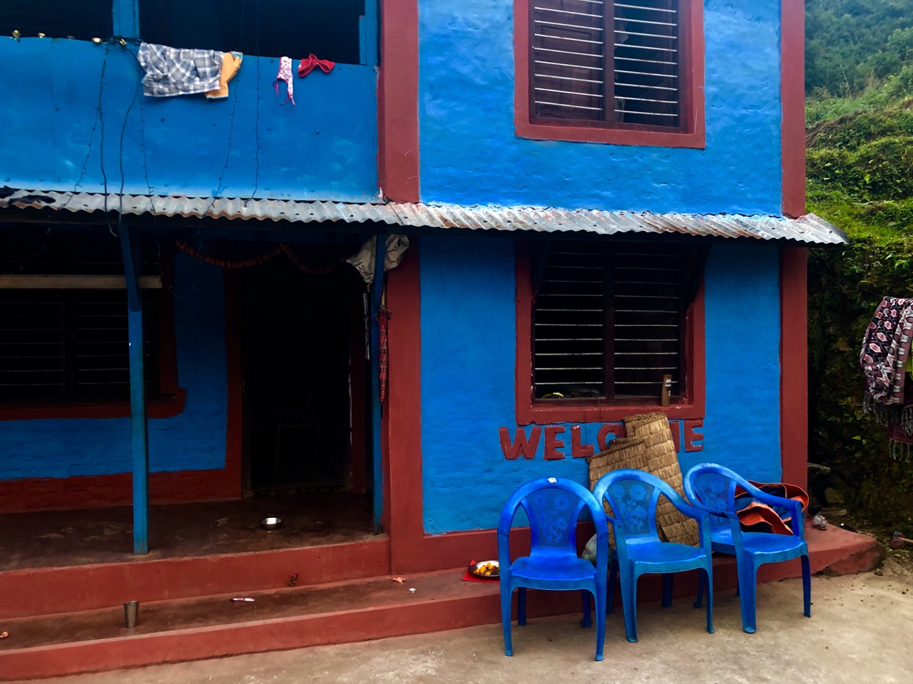
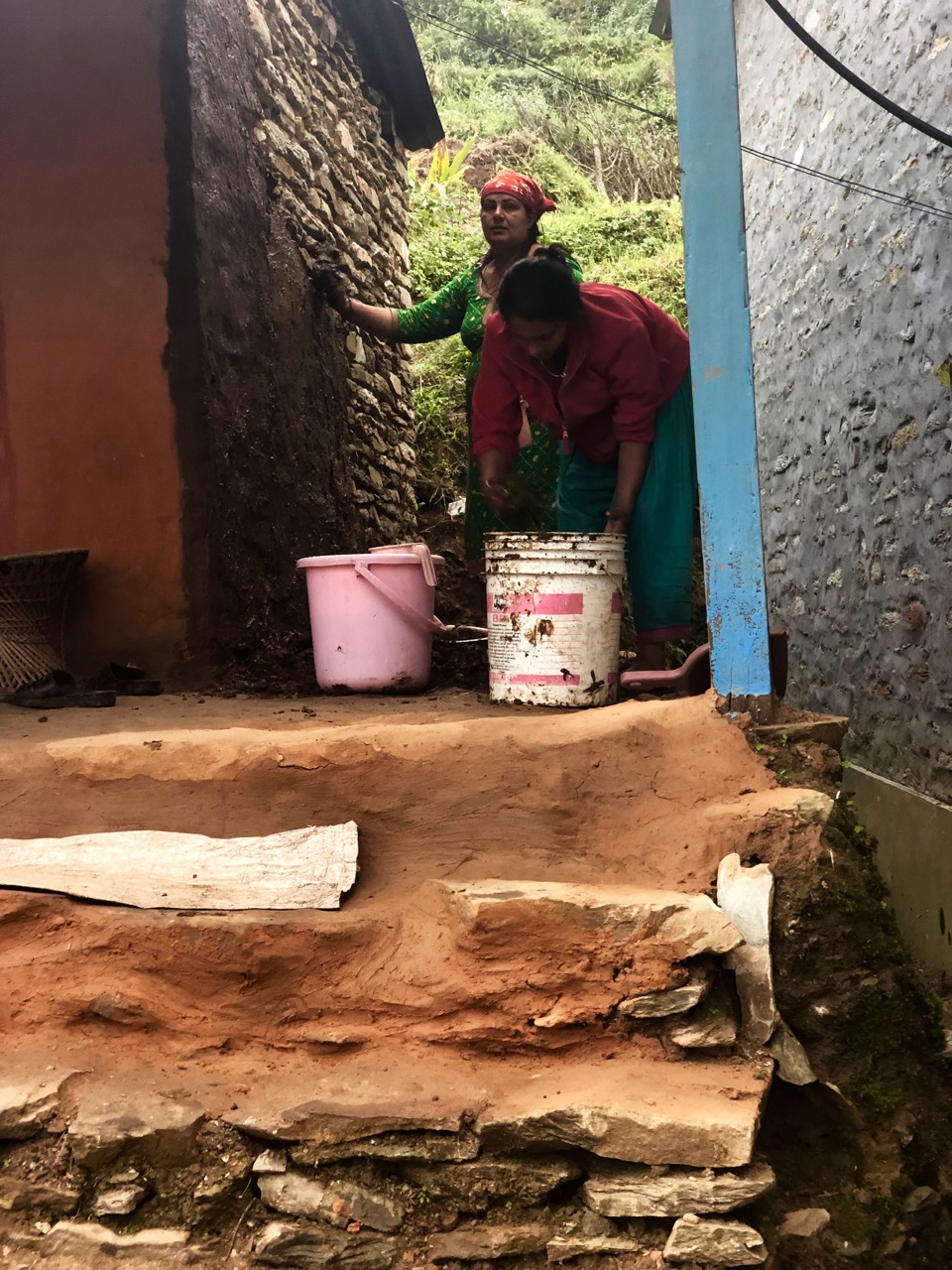
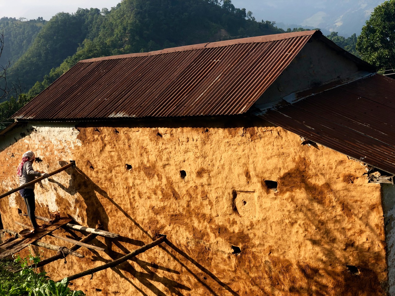
For Diwali, Nepalis clean and decorate their homes.

Fresh coats of mud applied.

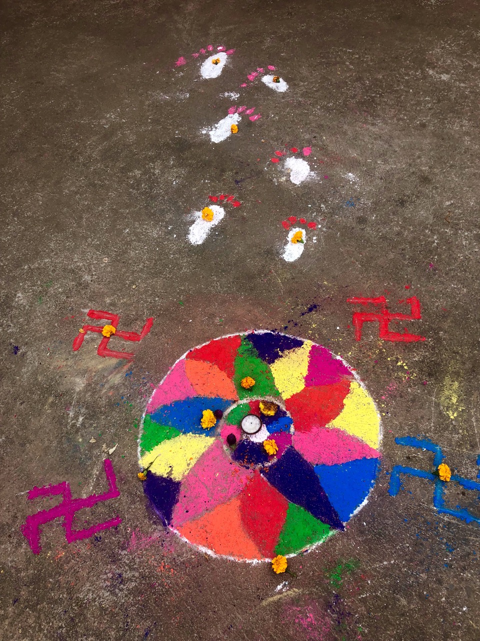
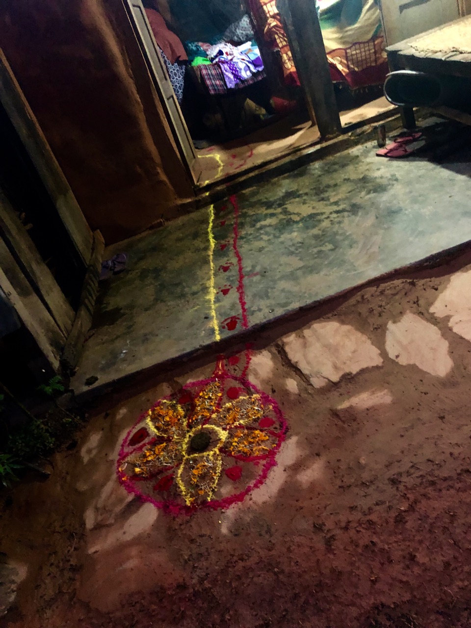
They illuminate the interior and exterior of their homes with diyas (oil lamps or candles), electric lights, etc. .

They offer puja (worship) to Lakshmi, the goddess of prosperity and wealth. Many homes have a trail into the house.

Rishi suggested we stay in his village instead of Syaklung Danda, our intended stop. We were very happy we did.

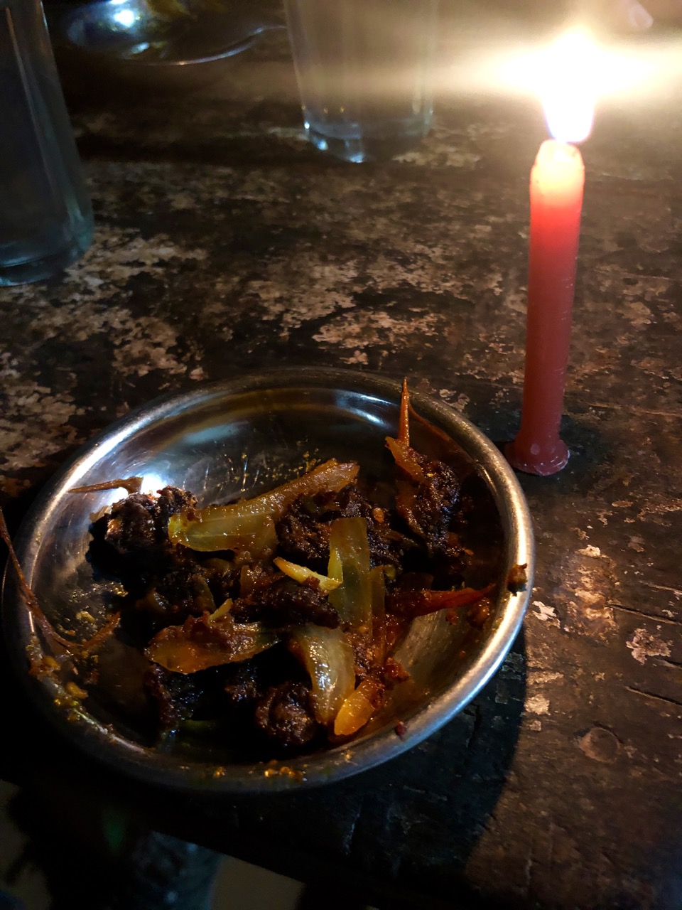
It was Dal Bhat for dinner, of course. The staple. But for an appetizer we were offered a special treat — dried, smoked, spicy goat meat from the high Himalaya. They call it sukuti.

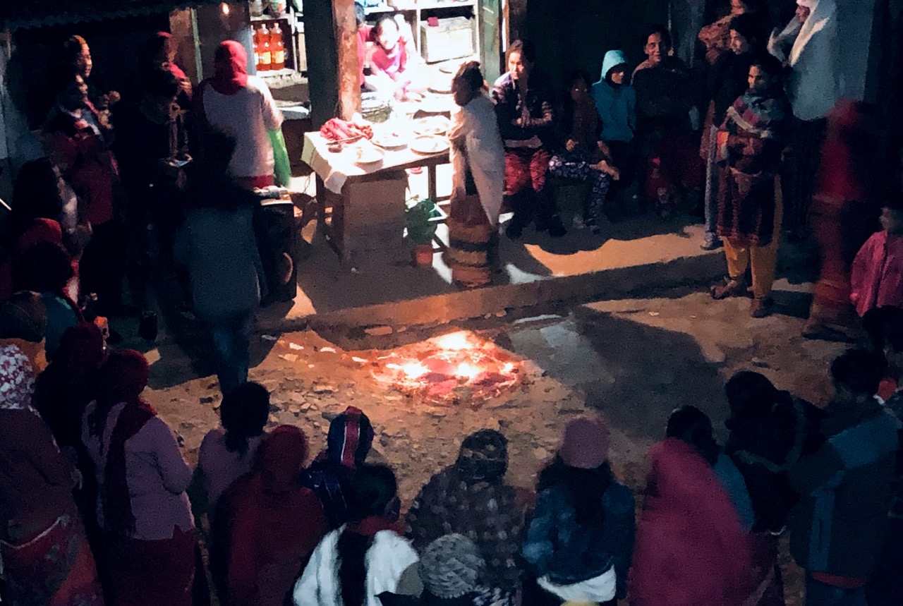
That night we were welcomed into the annual Diwali festivities. Much dancing, chanting and singing. And a bit of drinking. I had the local boiled rice wine called roxy.
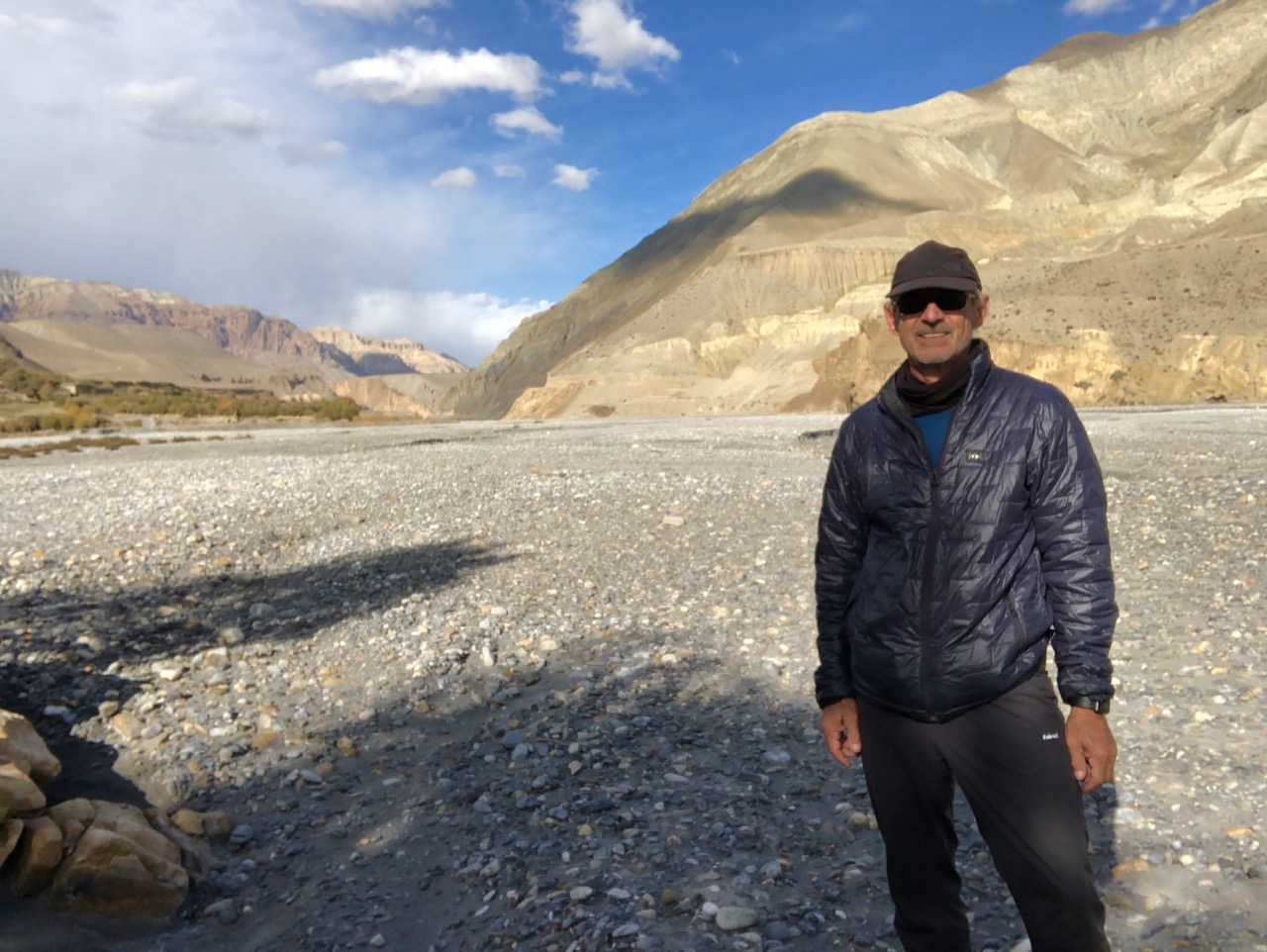
We slept well on hard mattresses. And dreamed of having the big vistas early morning.
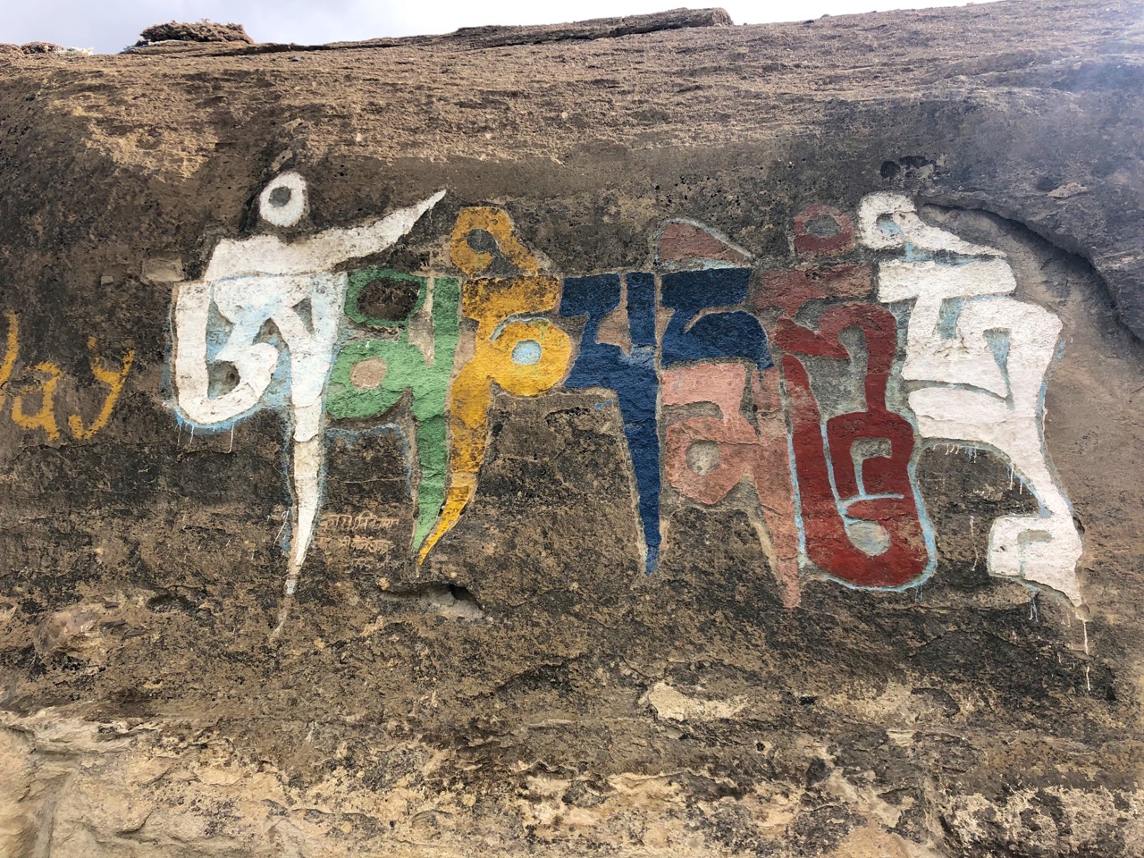
It dawned not as clear as the previous day, but we did see the three big peaks from one vantage.
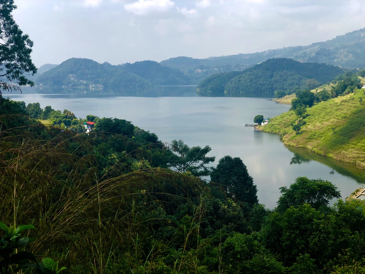
Mission accomplished, we decided to walk out as directly as possible to Begnas Lake. Our Royal Trek route ended.

It was mostly downhill on dirt or paved roads.

Rice looks to be the most important crop.

Rishi is a specialist in rural development. He told us these village are in trouble. The young people leave for the cities, India or the Middle East, and those who remain have trouble making ends meet. He consults on new initiatives for the foothill farmers.

Begnas lake is impressive, but I prefer Lakeside, Pokhara as a tourist destination.

We took lunch at a local restaurant in Begnas Tal Bahar, then caught the Lakeside bus.

It’s only 30km back to town, but the local bus is SLOW. If I did it again, I’d taxi back to Pokhara.

Other highlights:

  • hillside rice terraces
  • no permits required
  • a good first Nepal hike to start acclimatization
  • low risk of altitude sickness

Best months for the Royal trek are March – May and September – December. It can get cold at night.

Annapurna: A Trekker’s Guide by Sian Pritchard-Jones and Bob Gibbons might still include the Royal Trek. Lonely Planet Trekking in the Nepal Himalaya (2016) does not.

If you like this vista, do the Royal Trek on your own. You’ll be unlikely to see any other foreigners.