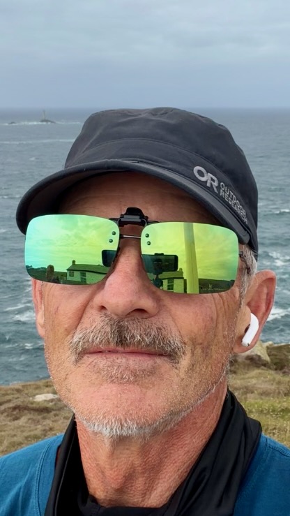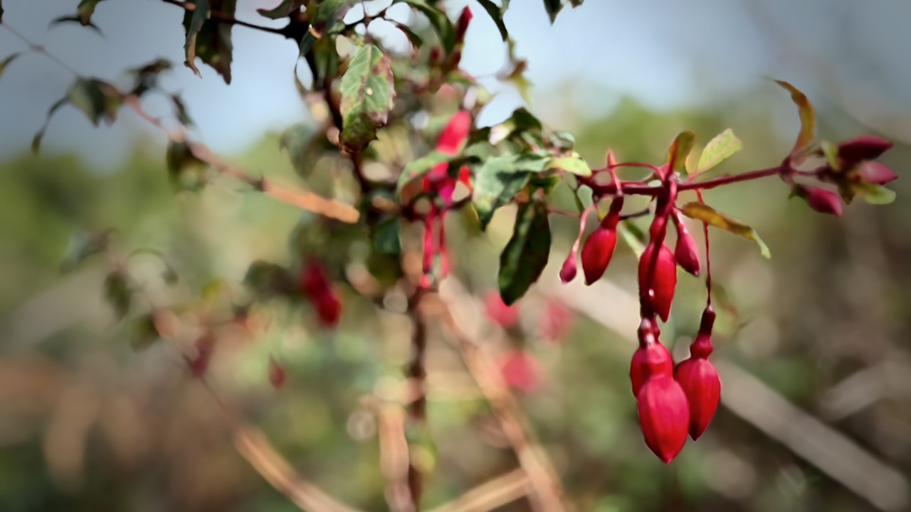

South West Coast Path – St Ives to Penzance

Trip report by BestHike editor Rick McCharles.

The South West Coast Path is Englandโ€™s longest established National Trail, stretching 630 miles (1,014 km) around the southwestern peninsula of Cornwall.
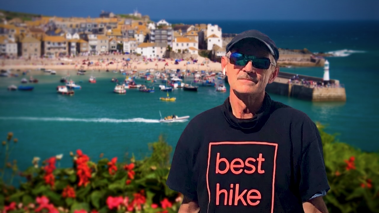
St. Ives

Many feel the best section is St Ives to Penzance, taking in Land’s End, the most westerly point of mainland England.
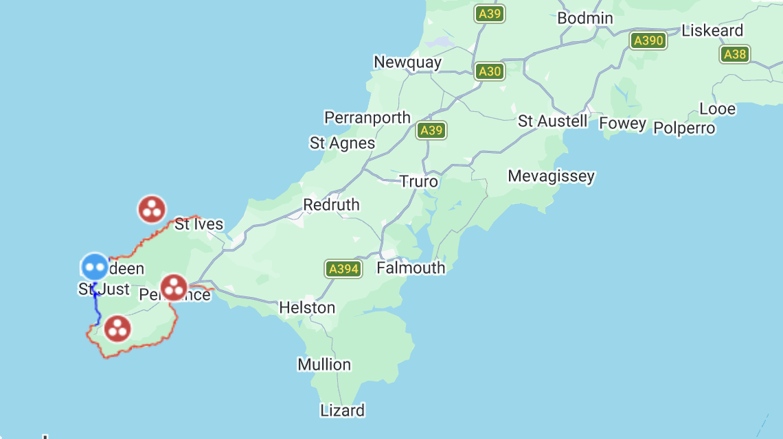
For me that meant:

  • about 41 miles (66km) plus side trips & detours to campgrounds
  • I hiked 3.5 days. It was more demanding than expected.
  • about 3,860m (12,660ft) of cumulative climbing
  • cost for tenting was good value. Average 15 pounds ($20USD)

Click PLAY or watch my highlights on YouTube.

For navigation I used AllTrails – South West Coast Path: St Ives to Penzance offline. About 95% accurate. A few of the trails have changed over the years.

When in doubt, I checked Maps.me offline.

If you want more detailed advice, get the Cicerone guidebook – Walking the South West Coast Path.


I flew in to Cornwall Airport Newquay, the main flight hub for the region.

As a result, ended up staying 2 nights before and 2 nights after in charming Newquay.

I love that tourist town โž™ PHOTOS & VIDEO.

It was easy to get to St. Ives via bus and/or train.

Crowded with tourists, I walked through town to quickly get started.

Day 1 – Sept 15 – St Ives to Wild Camp

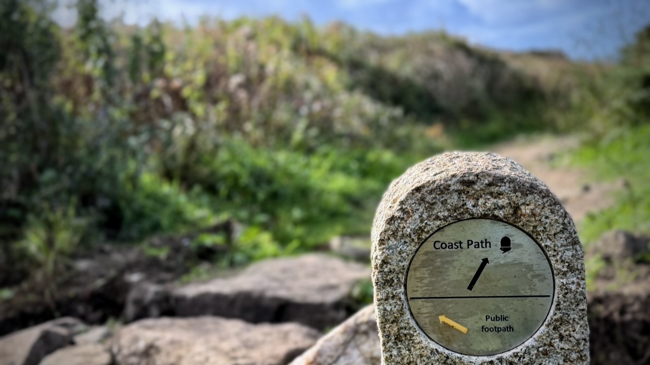
This spectacular hike is well posted. But you can get lost by accidentally taking local side trails.
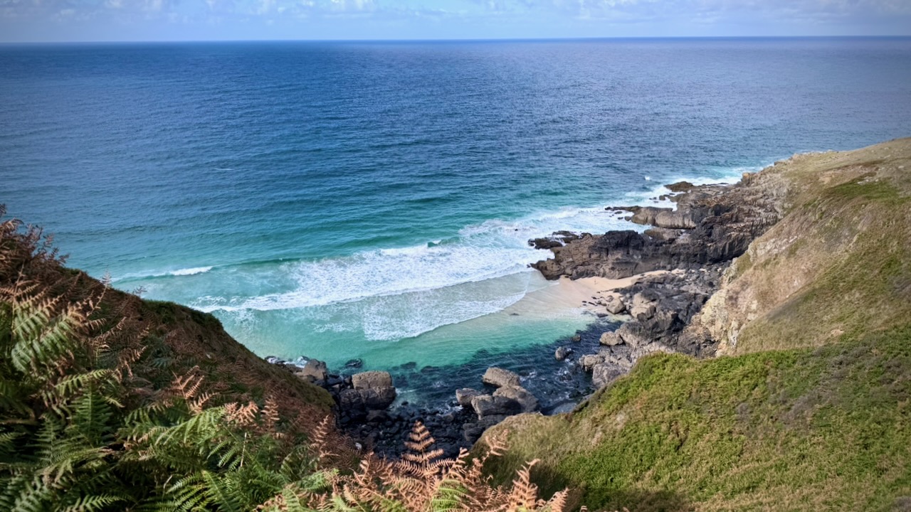
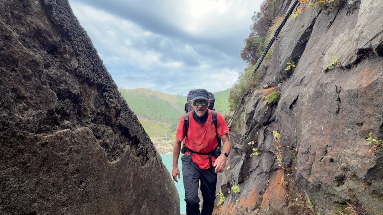
Very quickly I was into dramatic maritime heathland, coves, and steep drop-off cliffs.
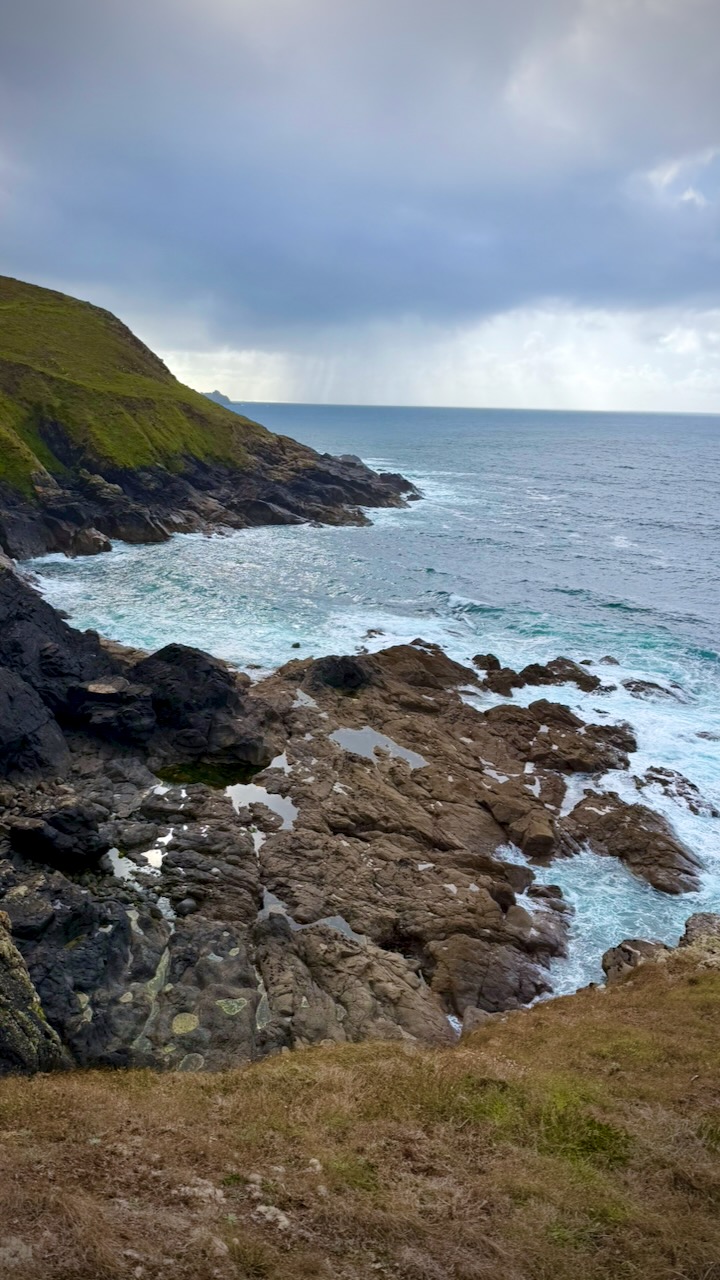
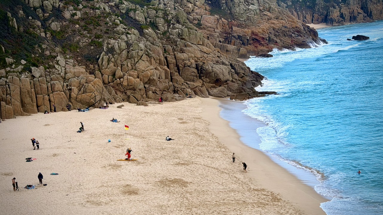
Over the 4 days, I was surprised how little beach walking is involved. Mostly you drop down to the ocean โ€” and climb directly back up.

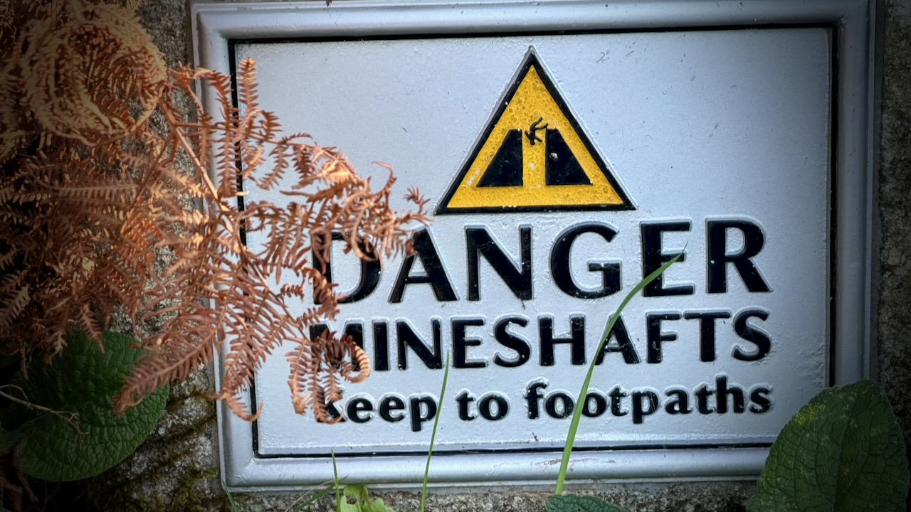
Many historic mine shafts, adits, and engine house ruins sit close to or directly alongside the coastal path. You should respect the frequent warnings.
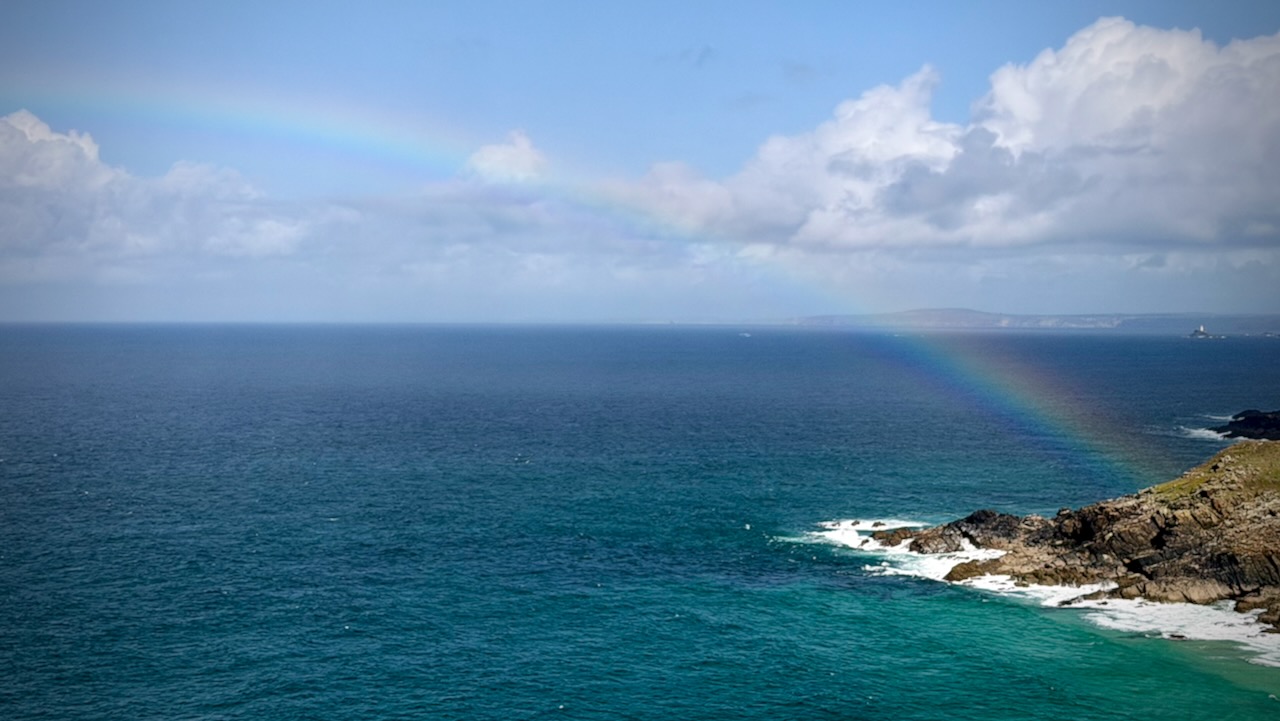
Weather was terrific for this part of the world. Summer 2026 quite mild here โ€” part of the European heat wave and global warming.

Still … it rains frequently. Sun showers in this case.
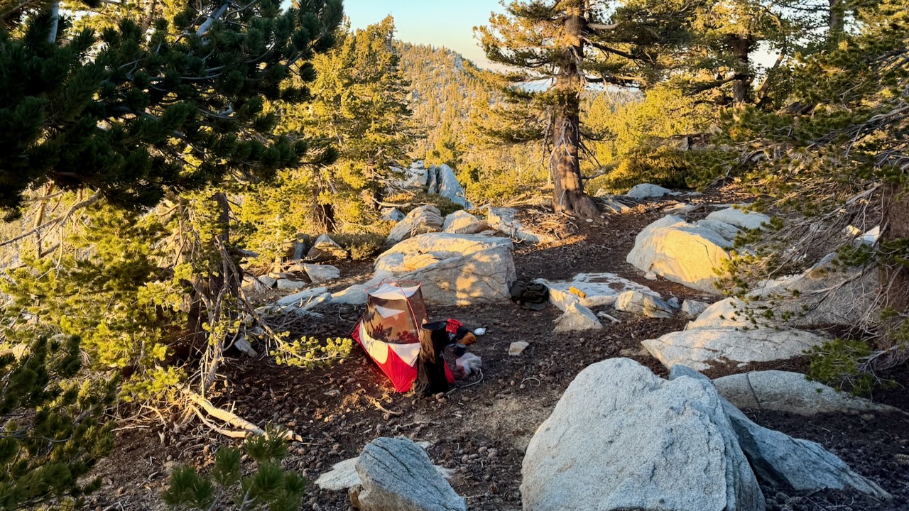
By dark, I’d only made it to Zennor Head. So decided to wild camp. For safety.
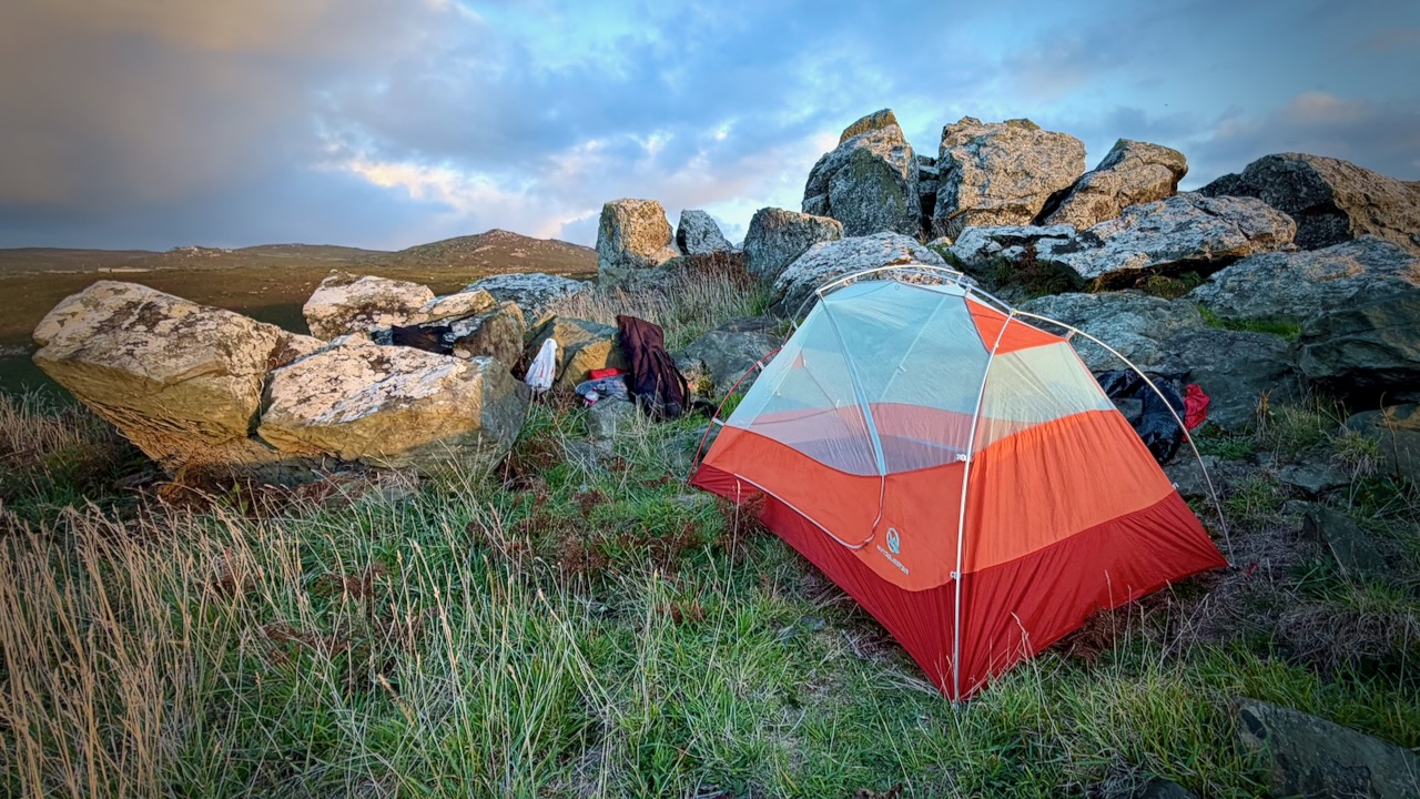
This was the best spot I could quickly find. Great view.

Actually, it’s very difficult to find places to wild camp. I’d strongly recommend the campgrounds, instead.

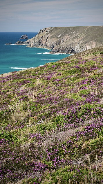
Low-growing, wind-swept shrubs like heather and gorse are densely packed. There’s no way to put up a tent on it.
I did put on the fly and tie down the tent thoroughly, just in case typical Cornwall wind & rain happened during the night. It did. ๐Ÿ˜€

Day 2 – Sept 16 – Wild Camp to YHA Land’s End Campsite

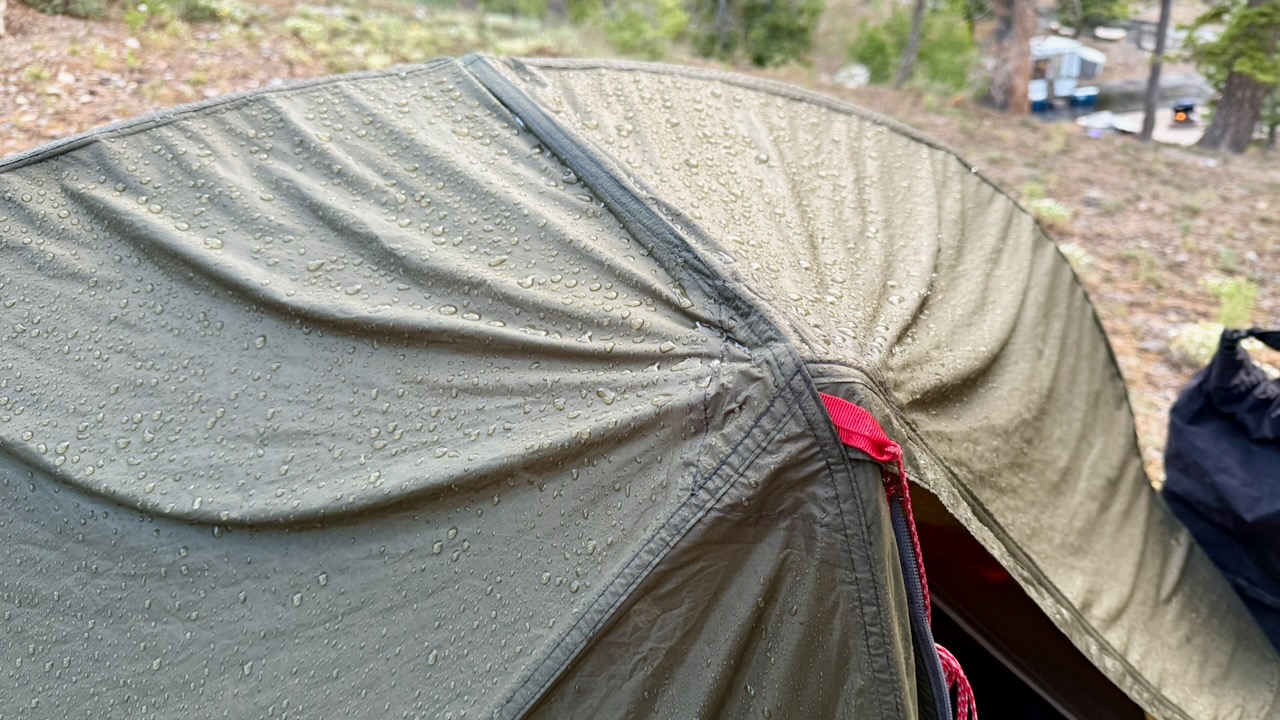
Happily, it was very windy when I packed up camp. I could dry the tent quickly.
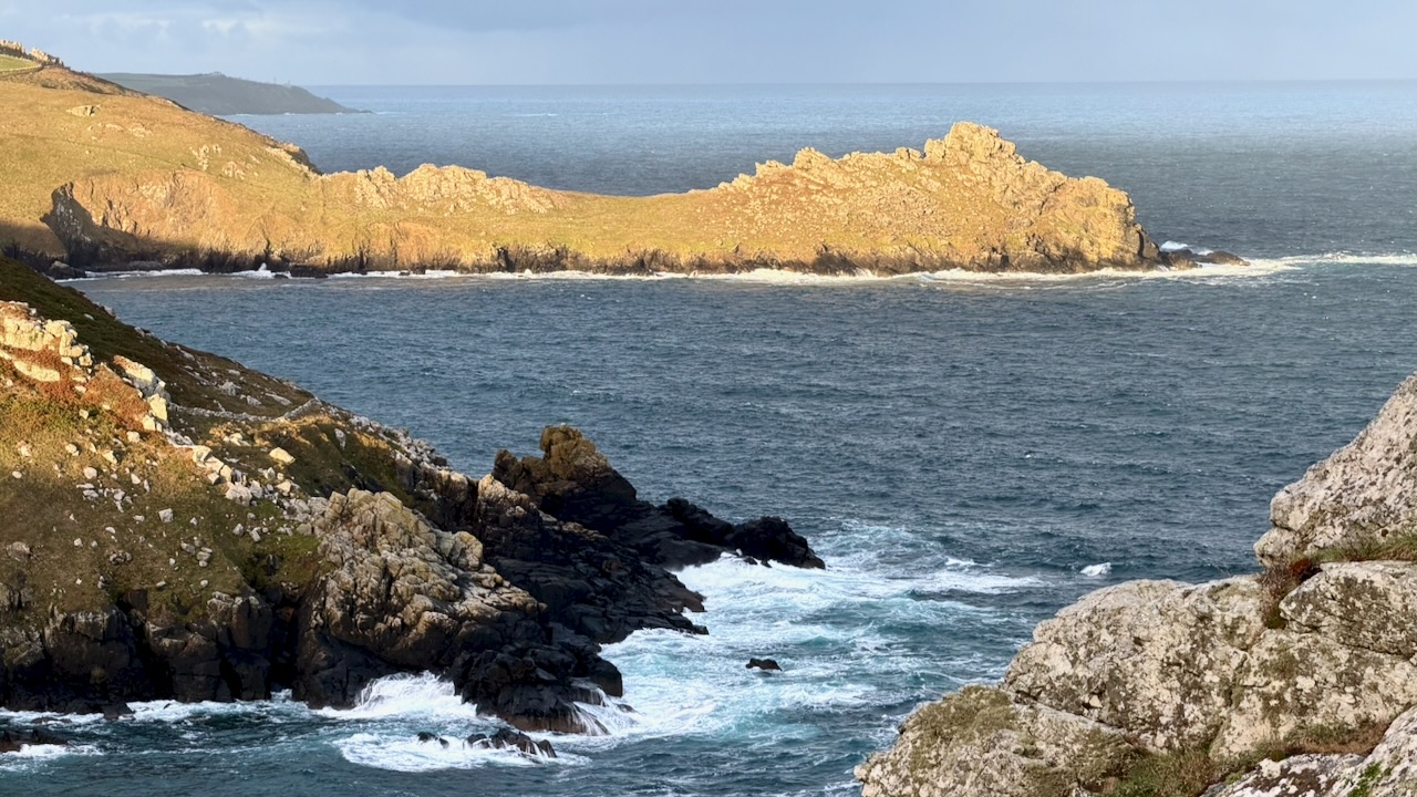
I felt very lucky with the weather, so far.
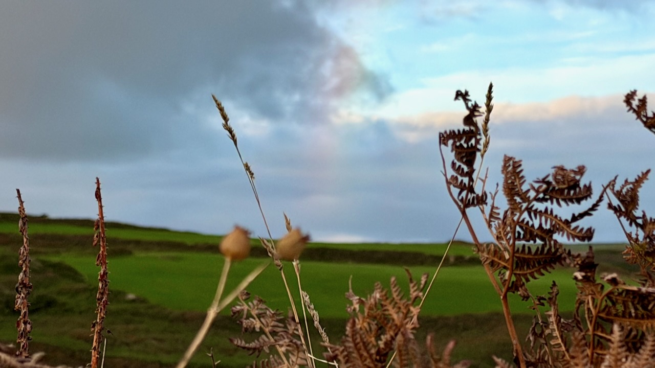
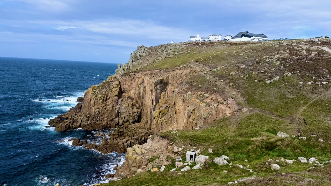
Here’s my best photo illustrating how this section goes. See the Path high above the coastline?
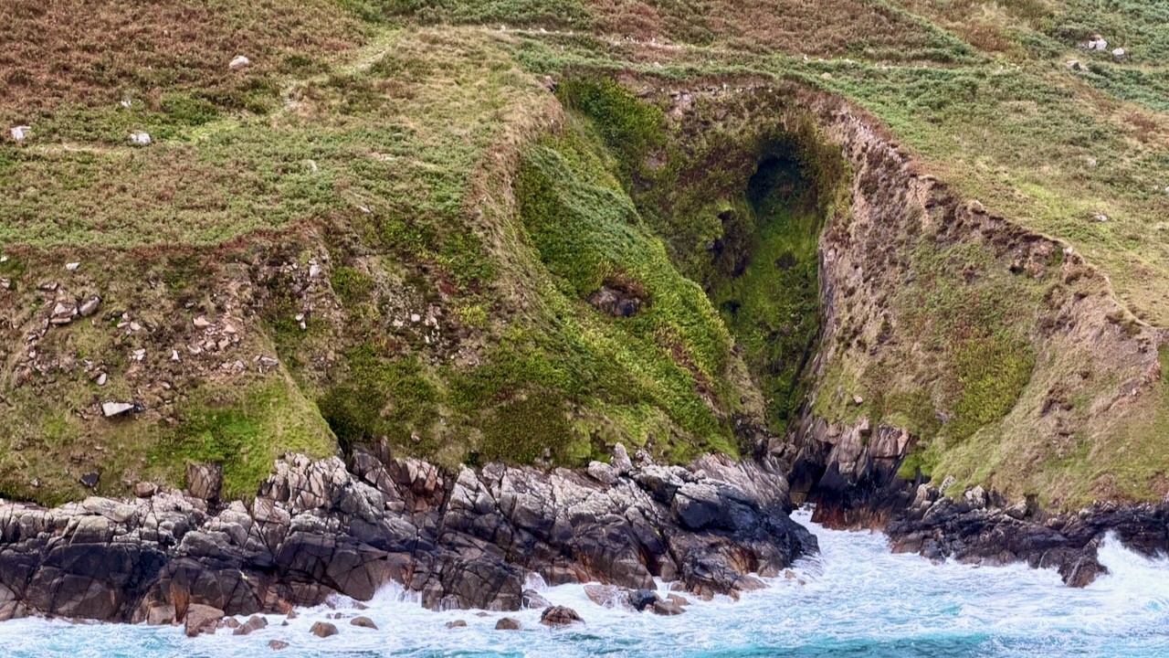
And here’s a typical vista from the Path.
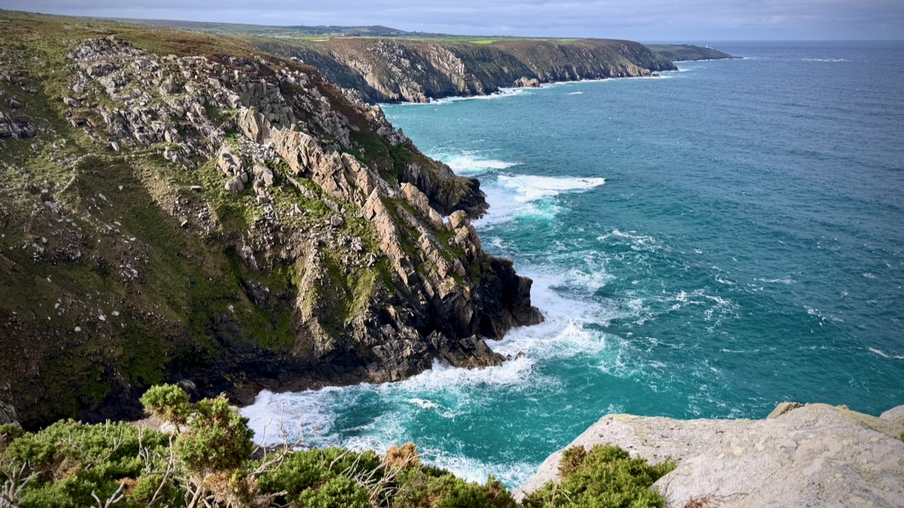
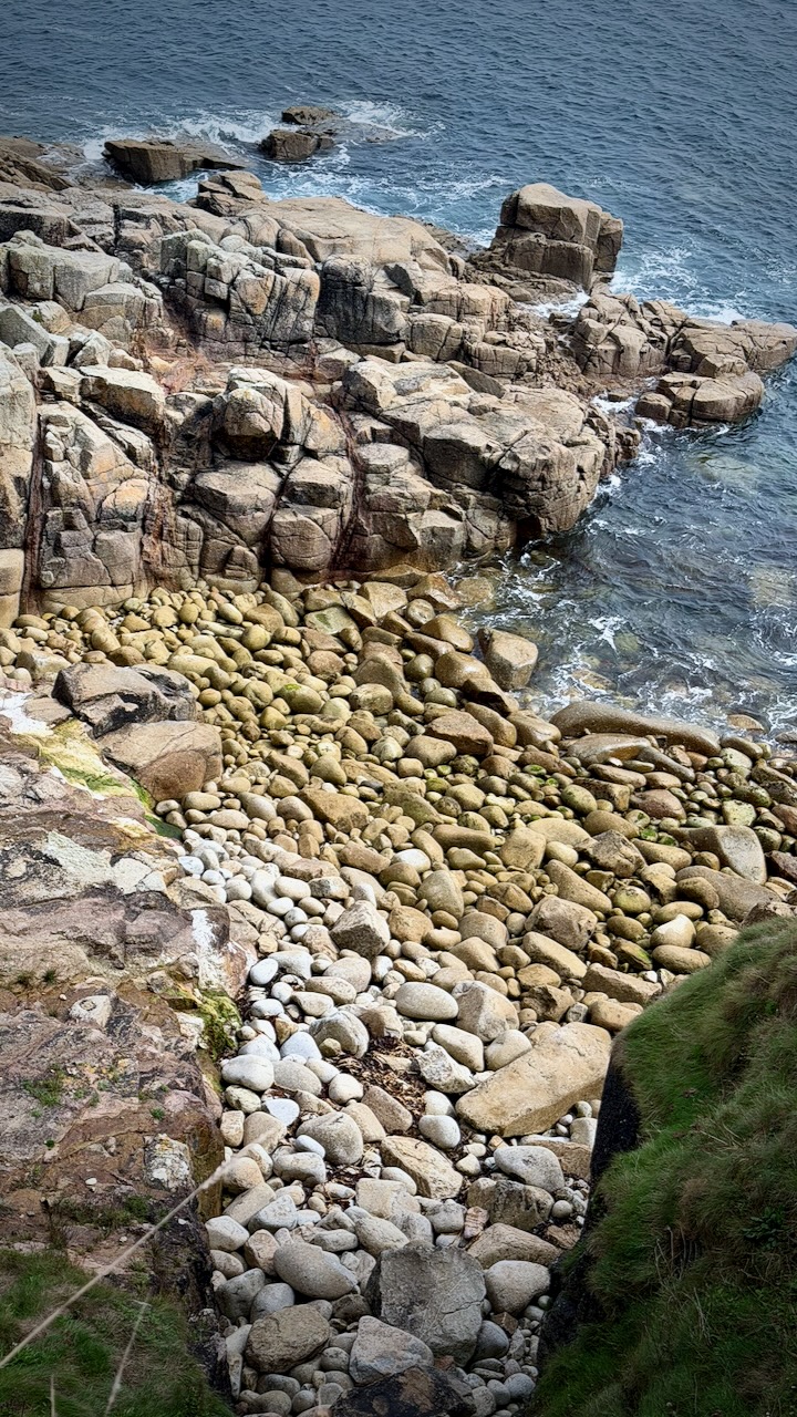
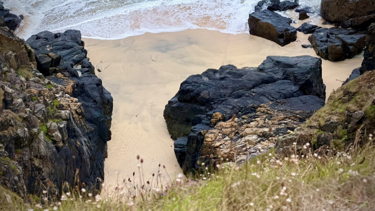
I would have enjoyed more beach walking. But you must side trip to reach most of the pocket beaches.
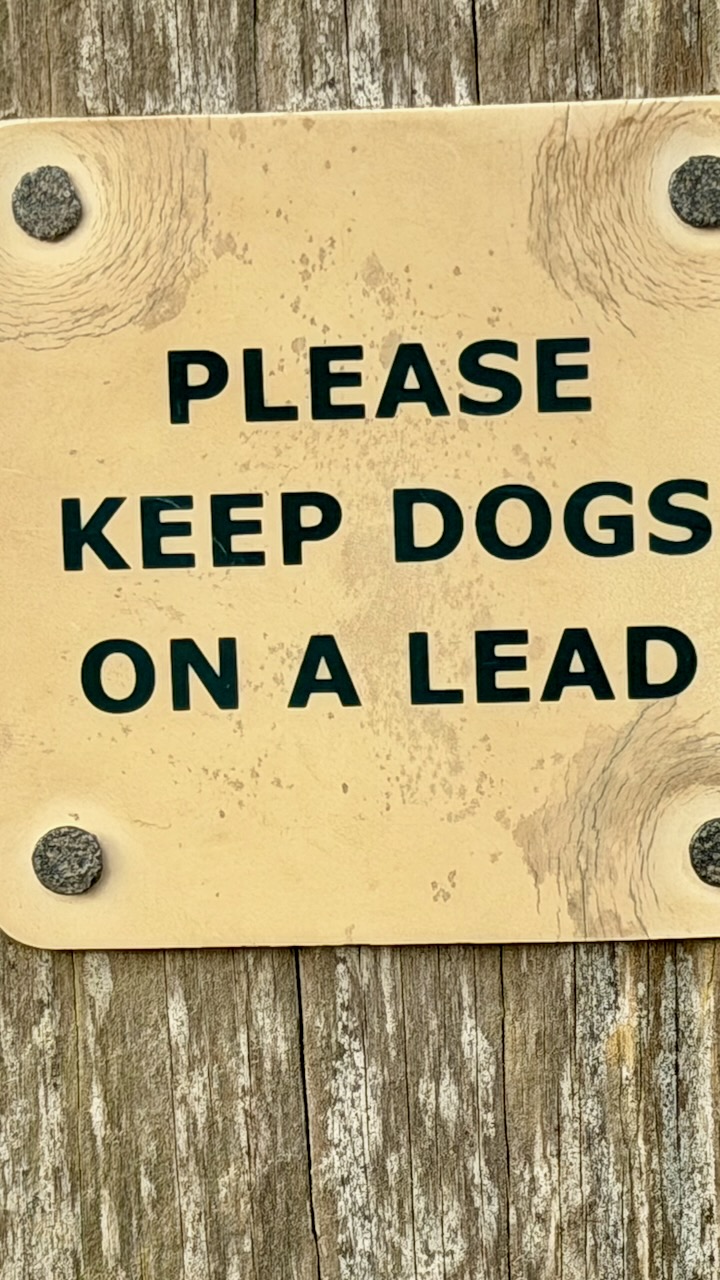
Quite a few people hike with their dogs.
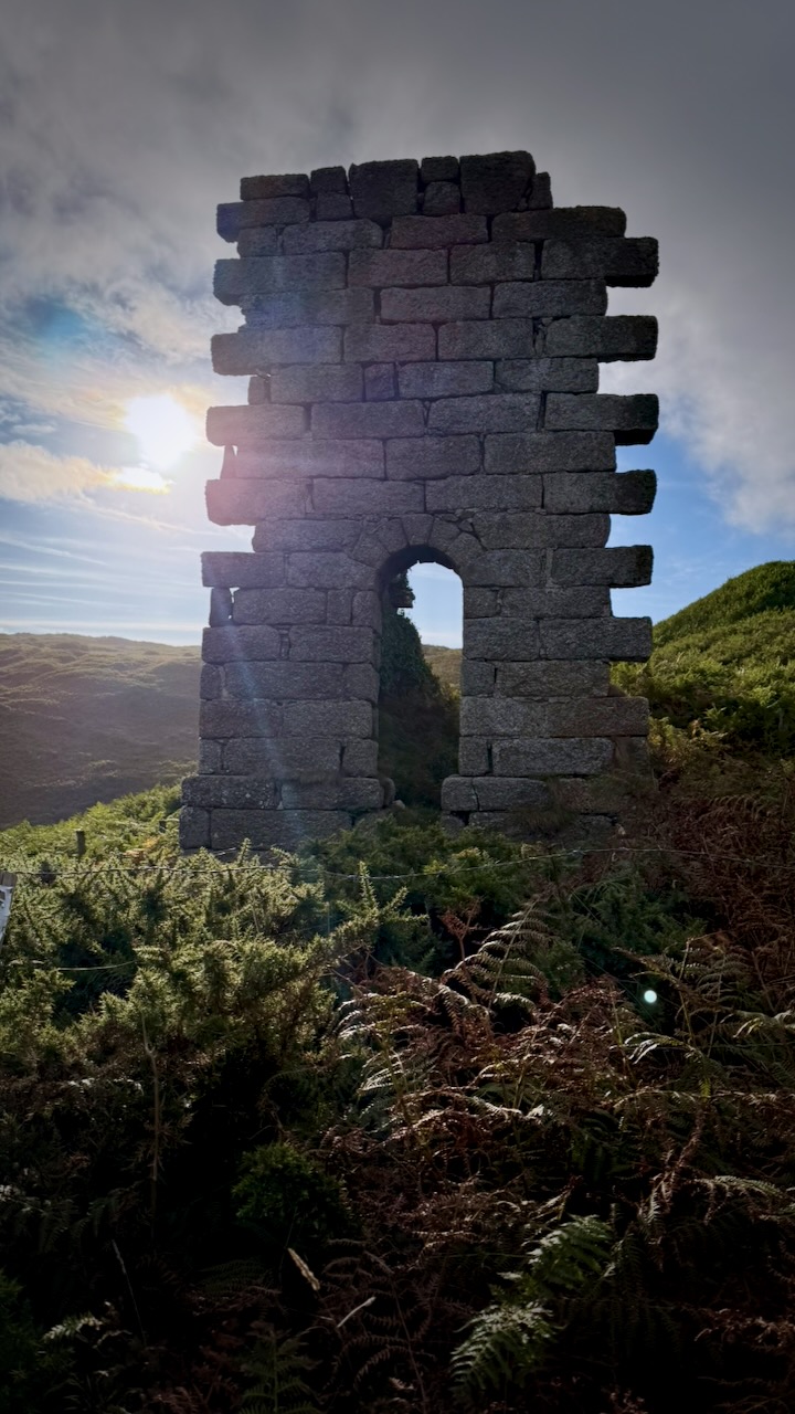
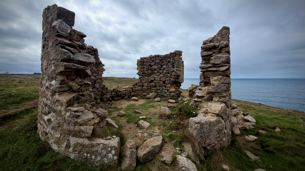
Interesting along the route are old ruins. There’s a lot of history here, of course.
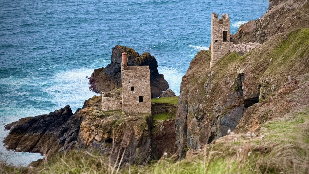
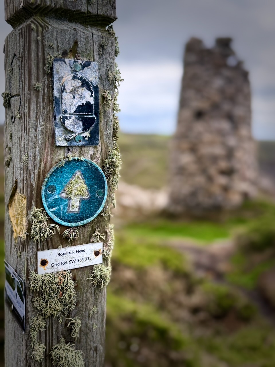
A highlight of the day was exploring the Botallack Mine ruins. Part of the UNESCO World Heritage Site โ€“ Cornwall and West Devon Mining Landscape. It had tunnels extending under the sea, in places for half a mile.
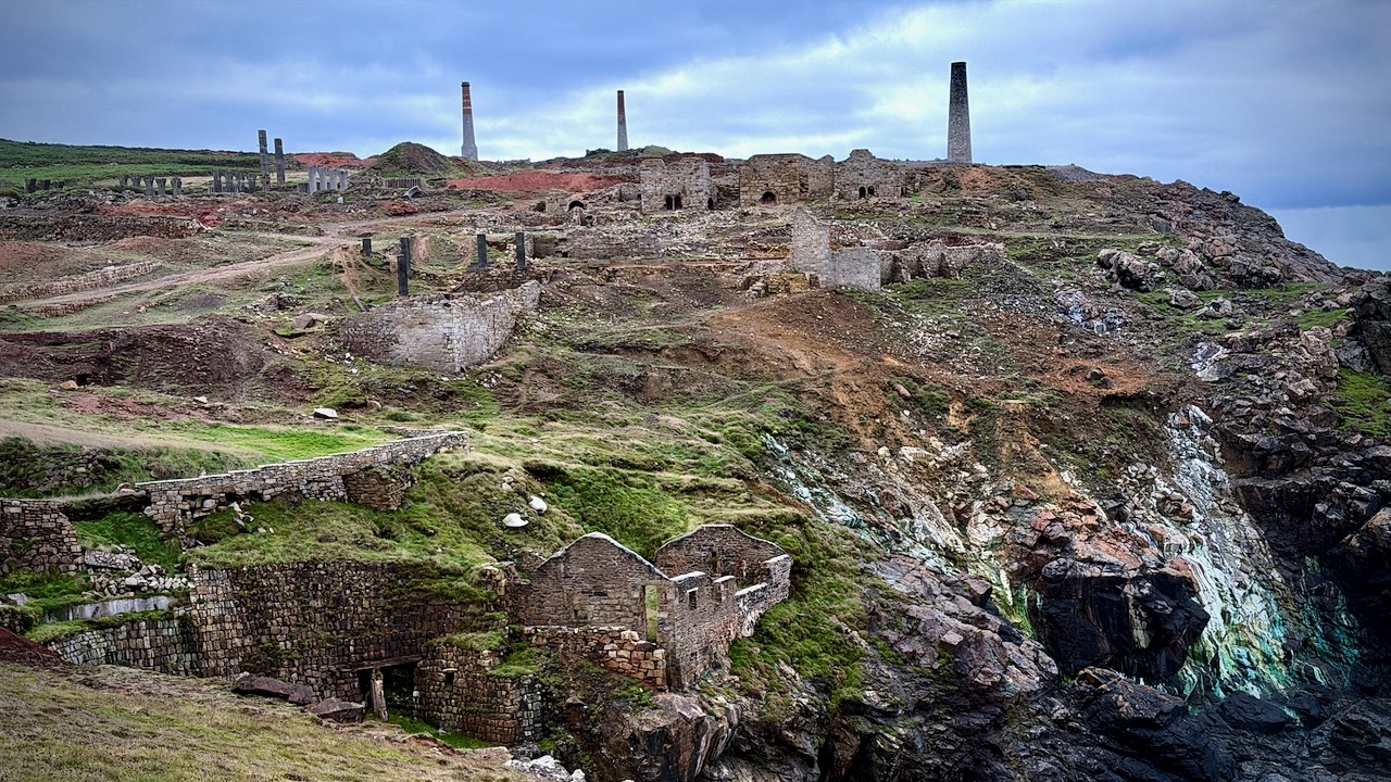
You can wander most of these structures. Try not to fall into any shafts.
Onward.
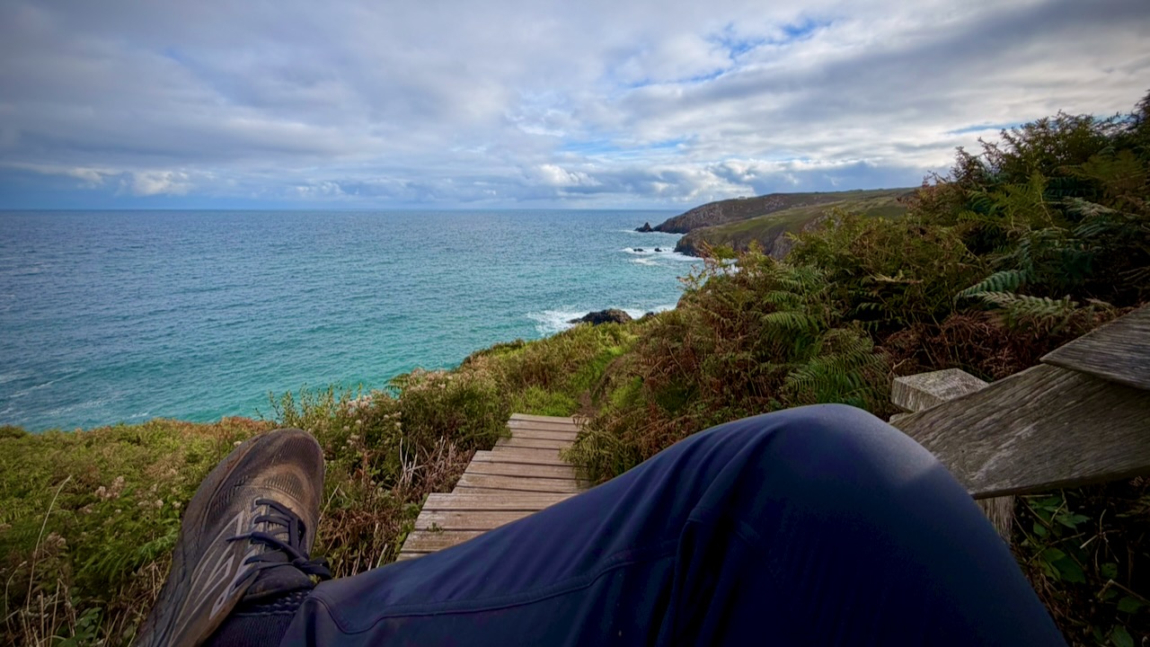
I took plenty of breaks, dropping my full pack. Enjoying the vistas.
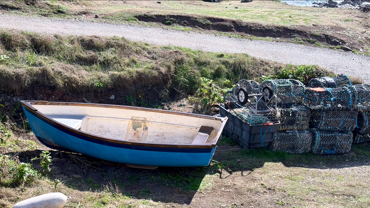
I saw less fishing activity than I would have expected. Perhaps it all happens early morning.
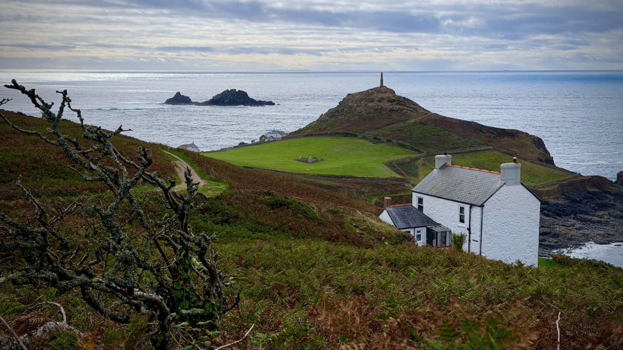
The most magical sight was Cape Cornwall. That chimney stack dates back to 1864.
Day 3 – Sept 17 – YHA Land’s End Campsite to Treen Farm Campsite

More strenuous Cornish ups and downs, unfenced cliff edges, and rocky granite steps.
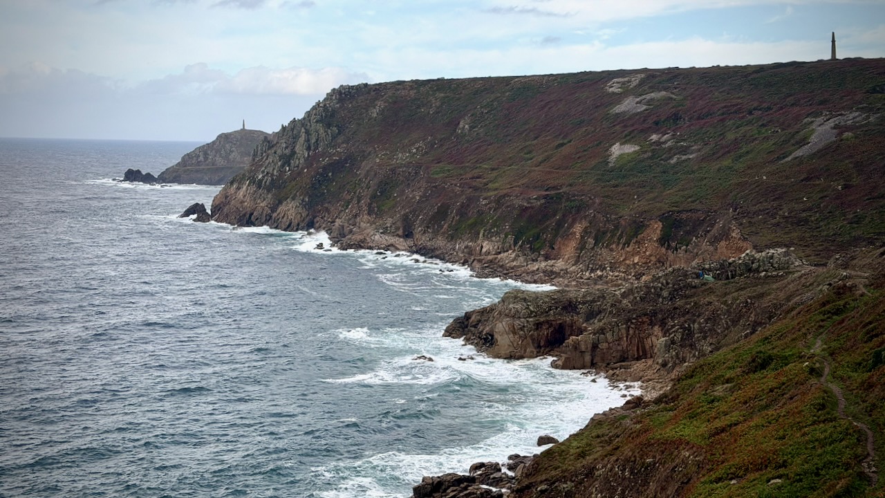
Weather as reliable as a baby’s diaper. ๐Ÿ˜€

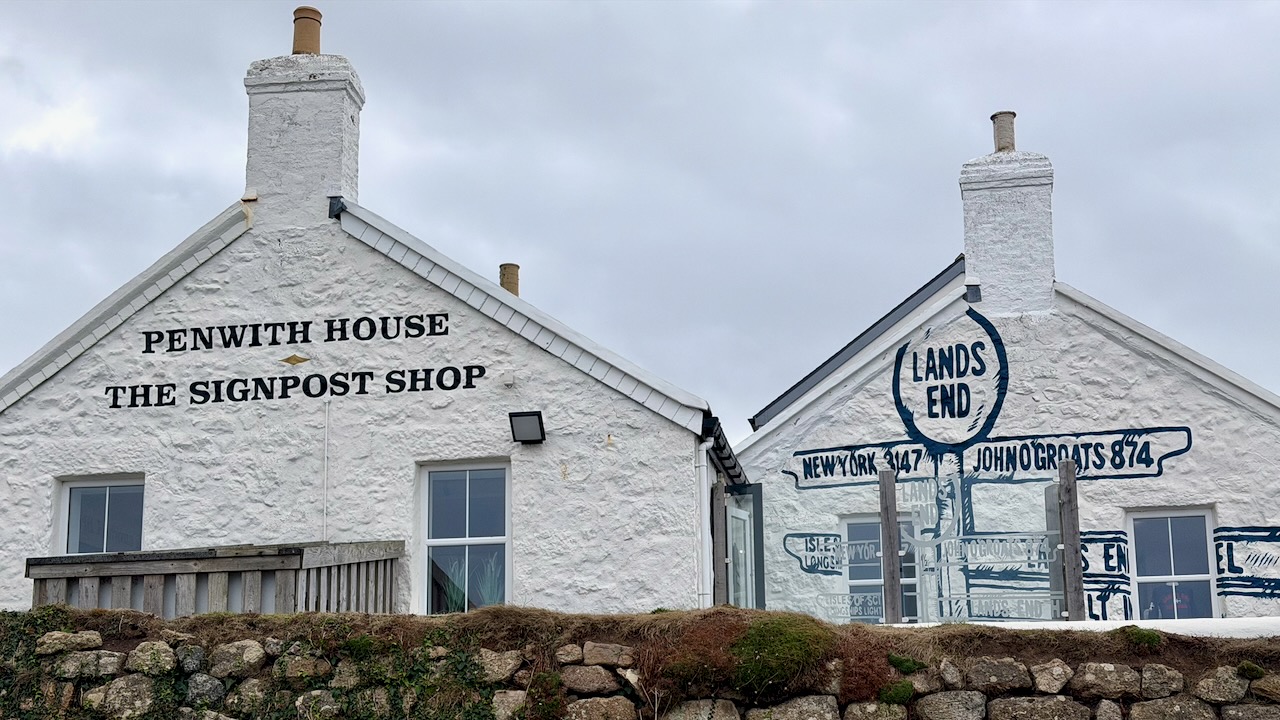
Reaching Land’s End was a highlight. The most westerly point of mainland England.
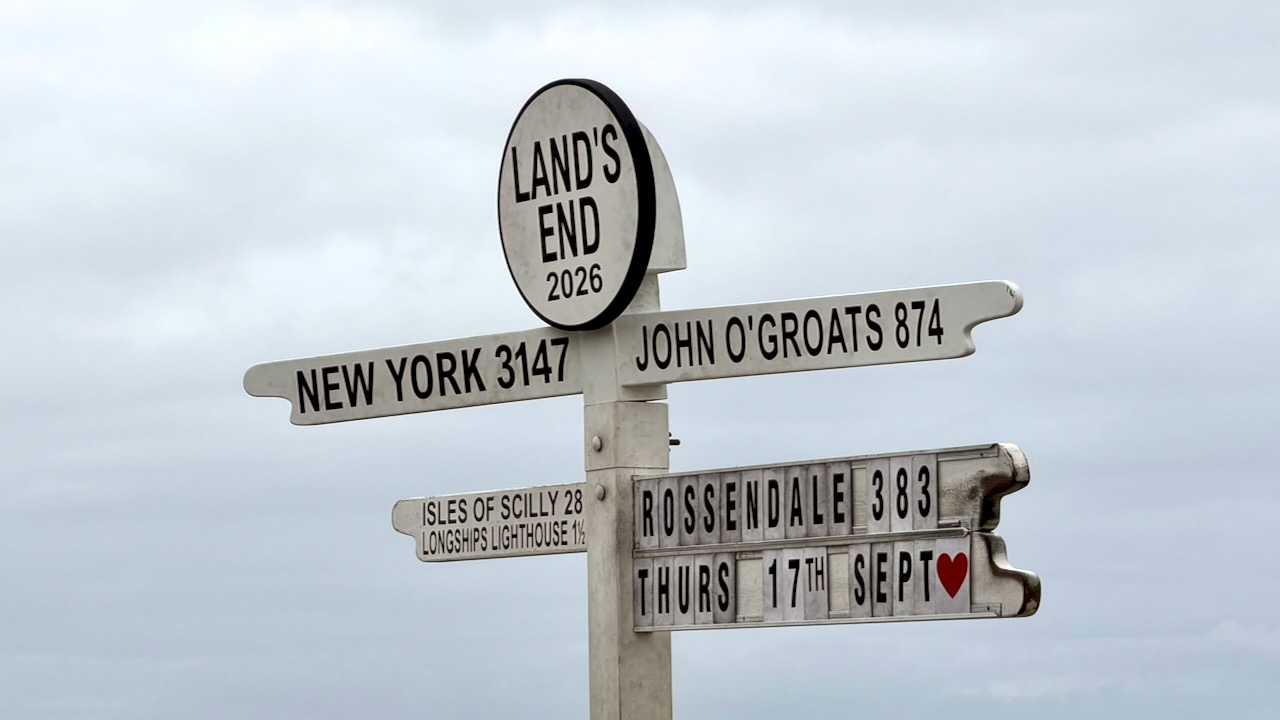
It’s a busy tourist trap.
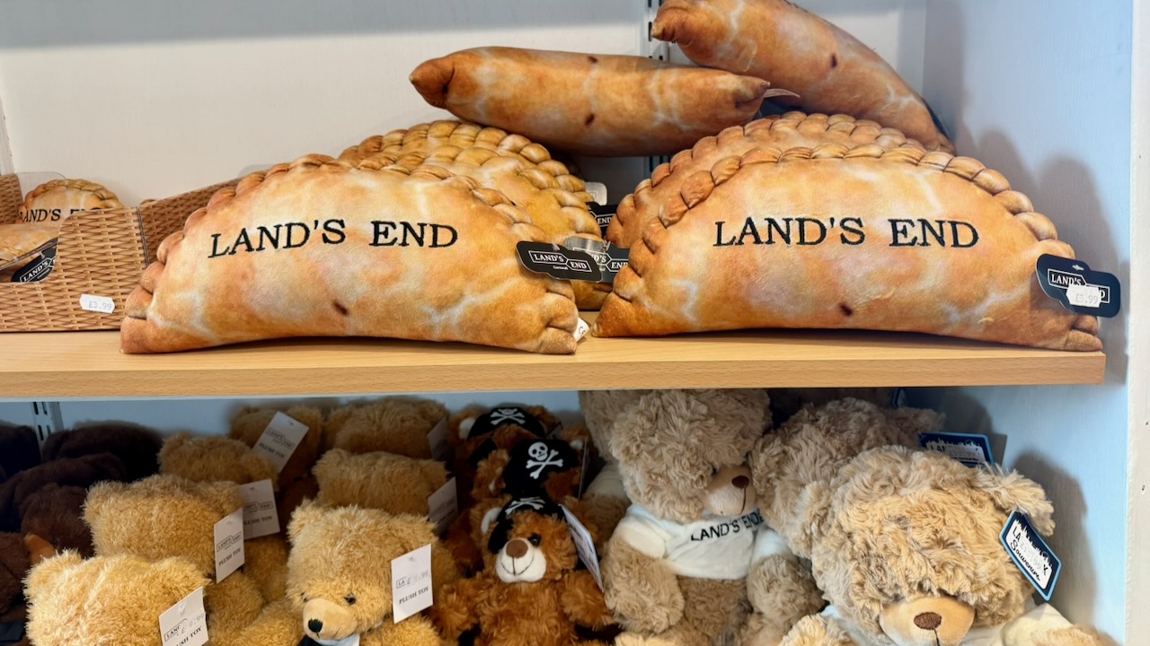
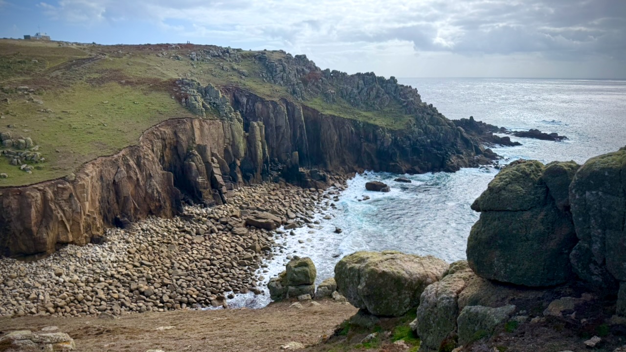
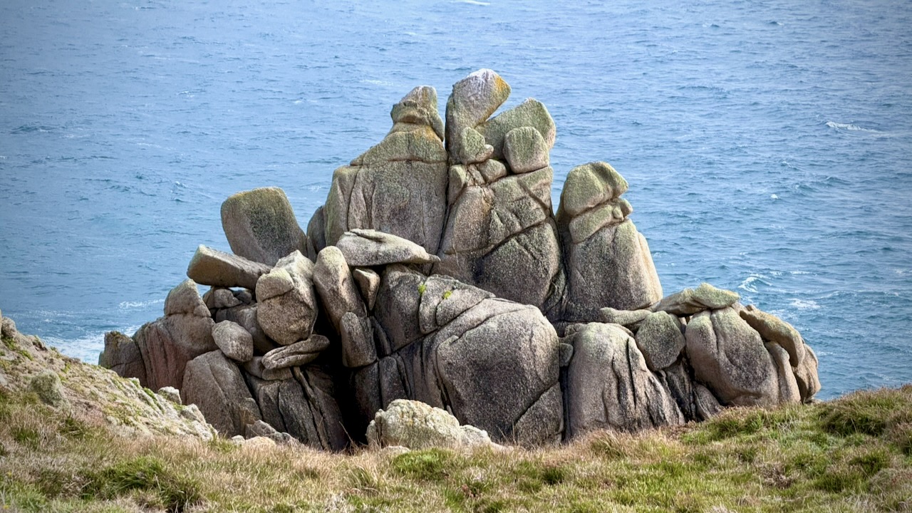
Scenery got better and better.
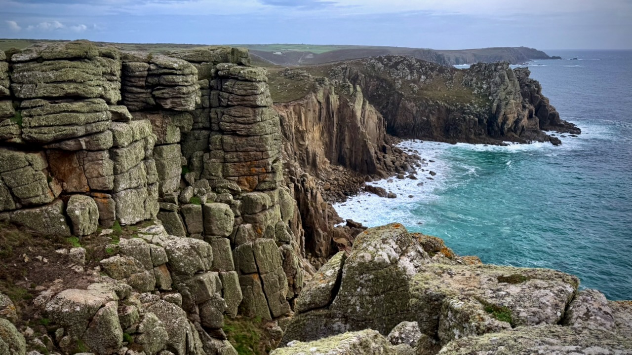
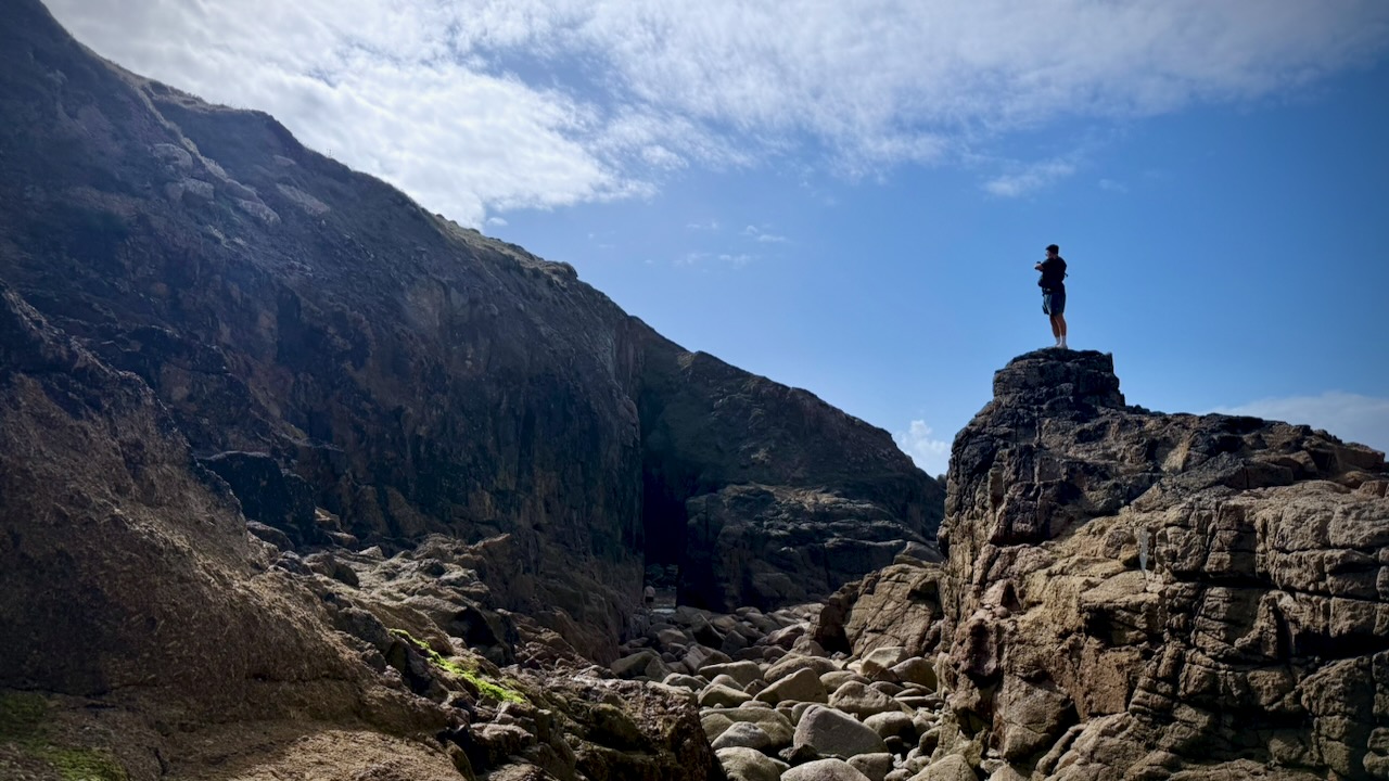
I stopped at Nanjizal Cove for some boulder scrambling.
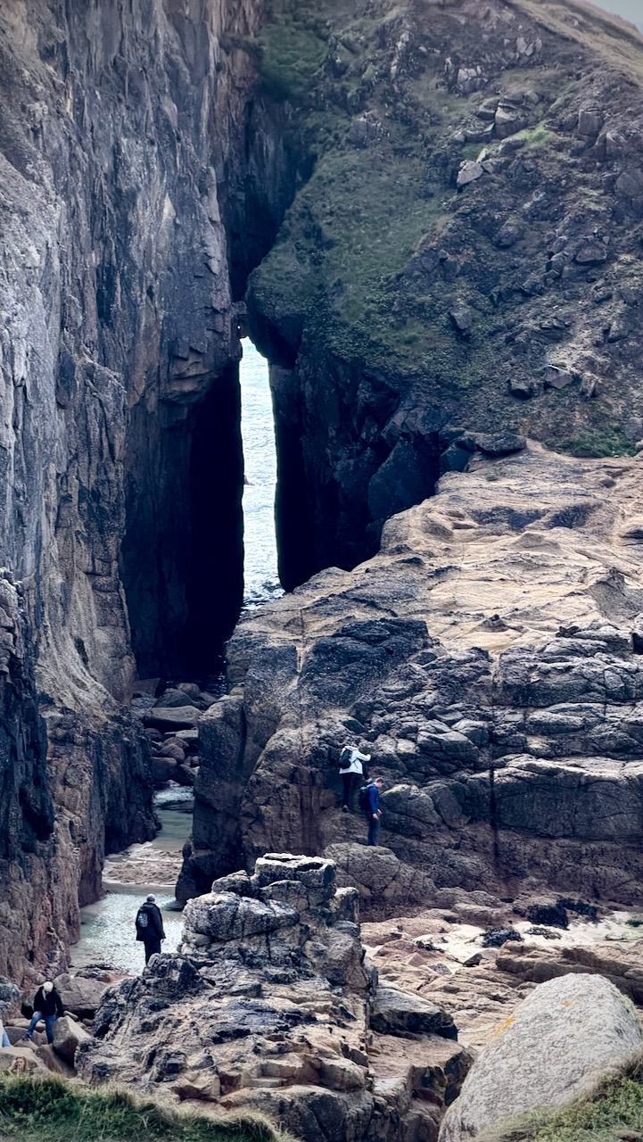
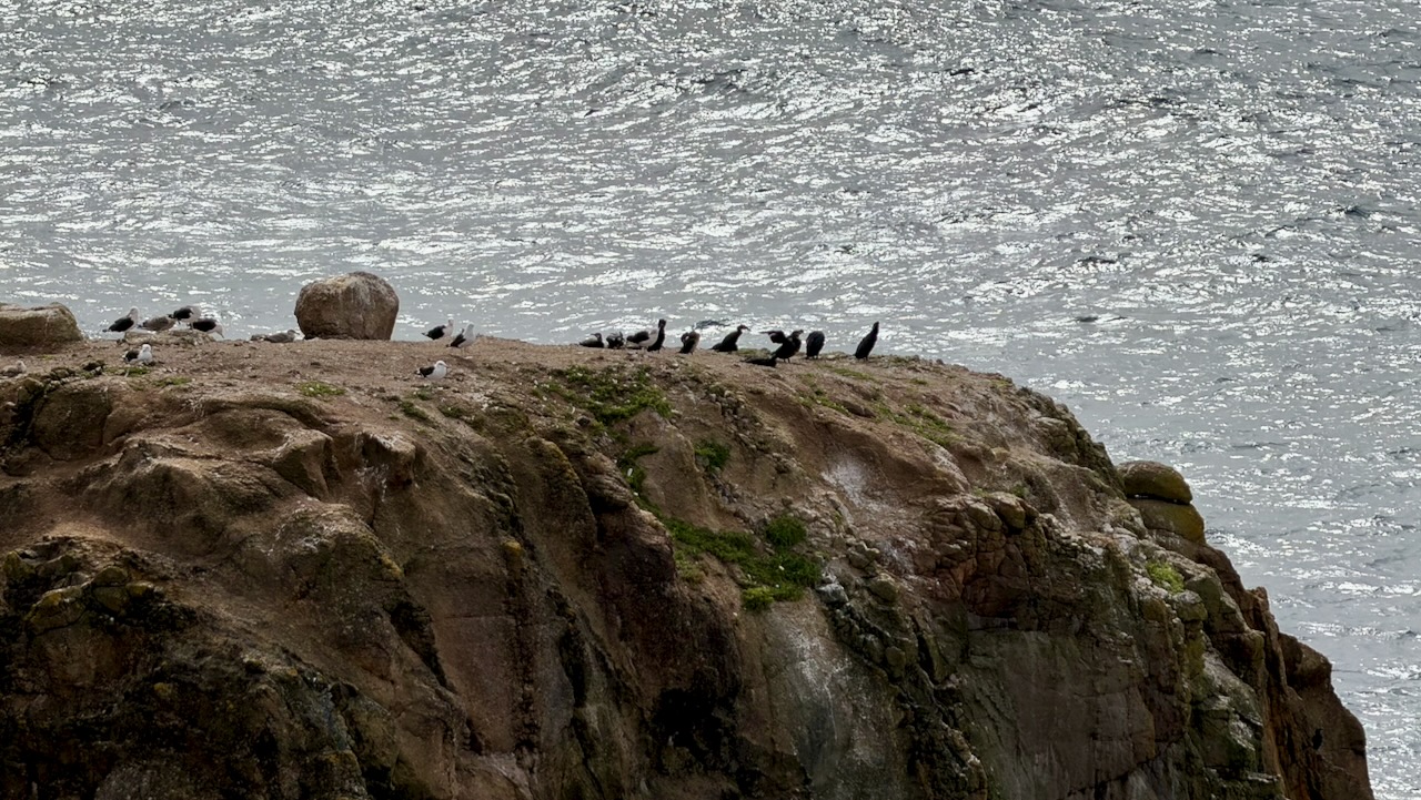
Gwennap Head: A great spot for spotting seals, basking sharks, and seabirds near the National Coastwatch lookout.
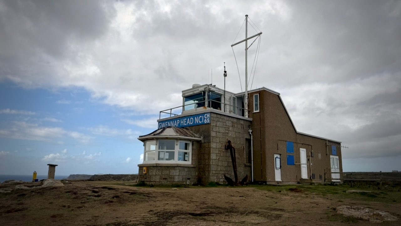
I really didn’t see any sea life, aside from birds.
Onward.
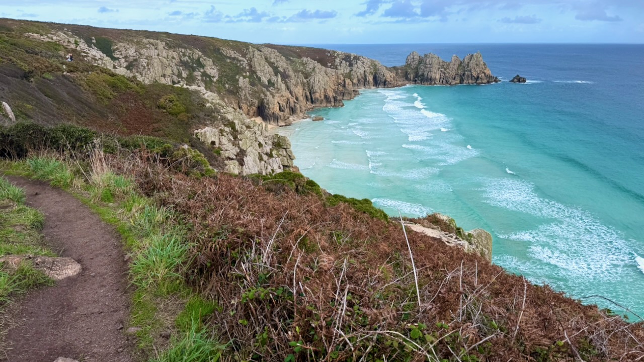
I arrived just after the end of a show in the famous open-air Minack Theatre hewn into the granite cliffside overlooking turquoise waters.
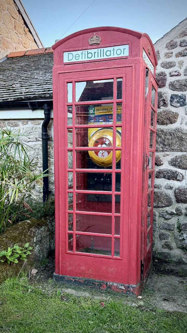
The old red British telephone boxes have been repurposed for all kinds of things.
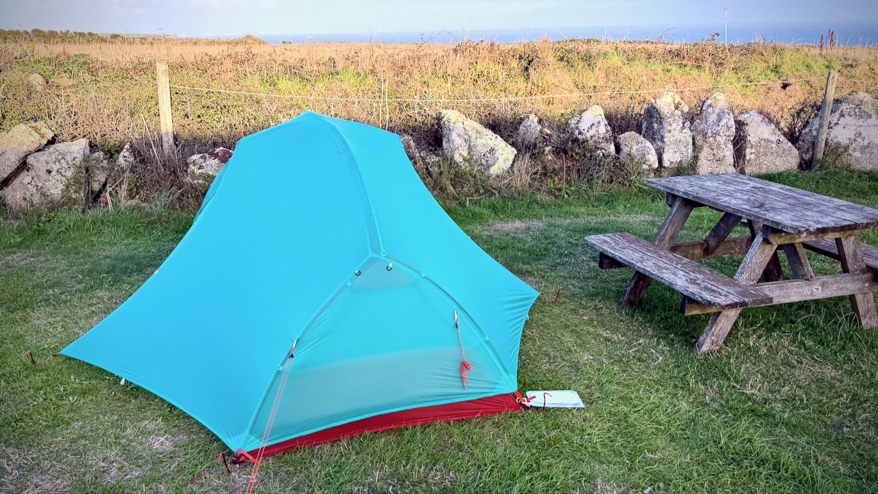
Here’s a typical campsite. Hot showers. Simple kitchen.
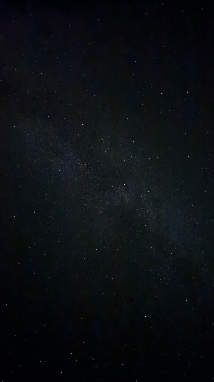
A rarity for this part of the world. Clear night sky with plenty of stars.
Day 4 – Sept 18 – Treen Farm Campsite to YHA Campsite Penzance

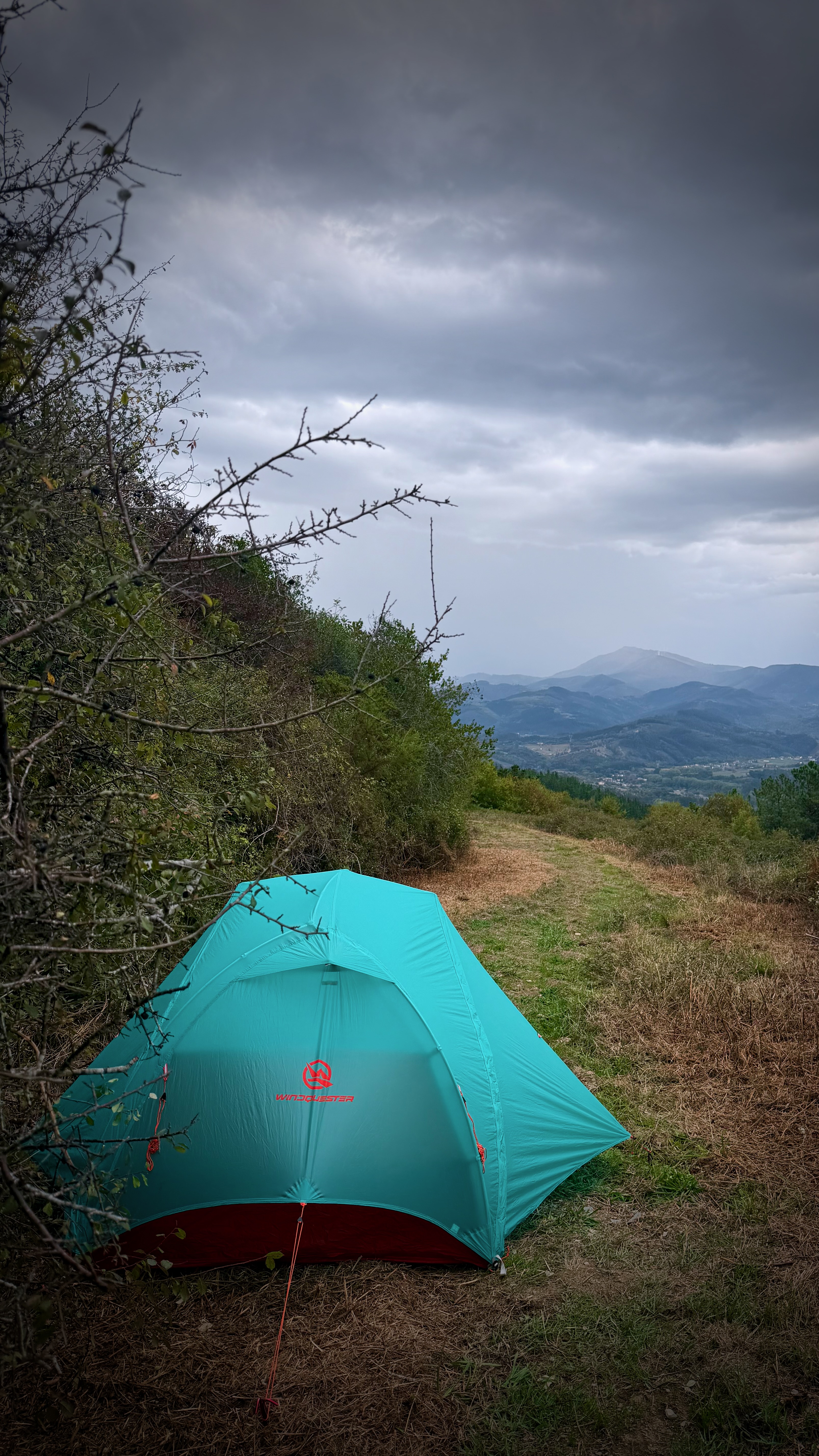
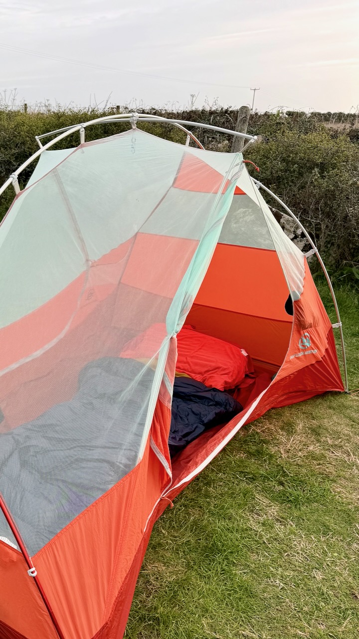
On this trip I was testing a new tent โž™ WindQuester Horizon Lite 2 Pro.

Heavier and slightly more complicated than my Hubba, but definitely more stable in wind and wet. More room, as well, as it’s a 2 person tent with 2 vestibules. I like it.
Last day different than the rest. I was approaching civilization. And it was more overcast.

Here’s Lamorna Cove.
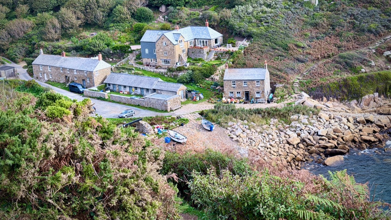
If you live here, ready for severe winter storms.
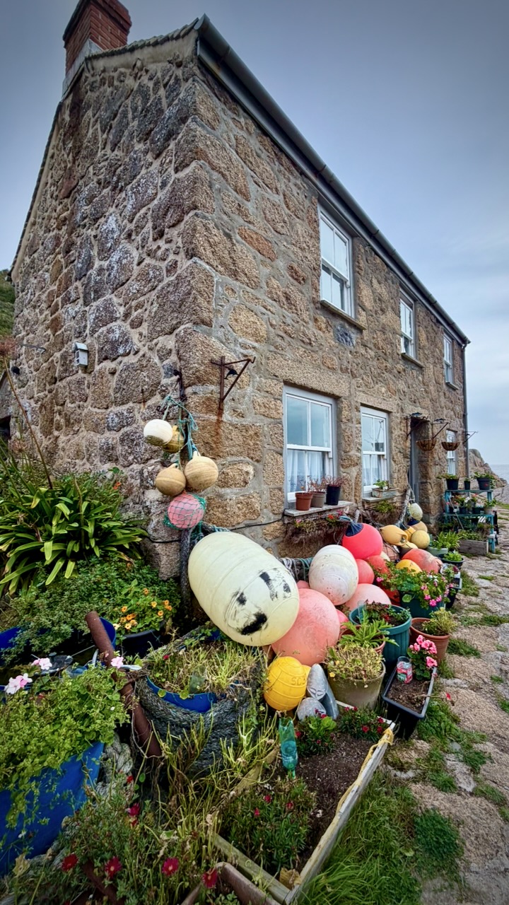
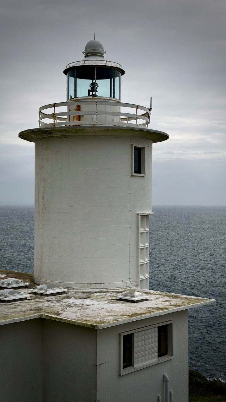
Of course there have been many shipwrecks, over the centuries.
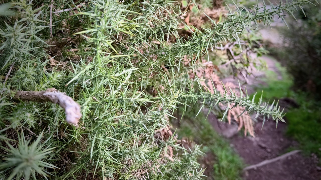
I should mention there are some sharp plants that you need to navigate carefully.
Bigger boulders this day.
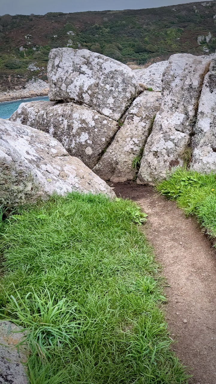
I ended up boulder hopping here โ€” perhaps off trail.

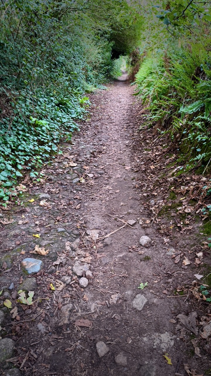
You finally get into some trees.
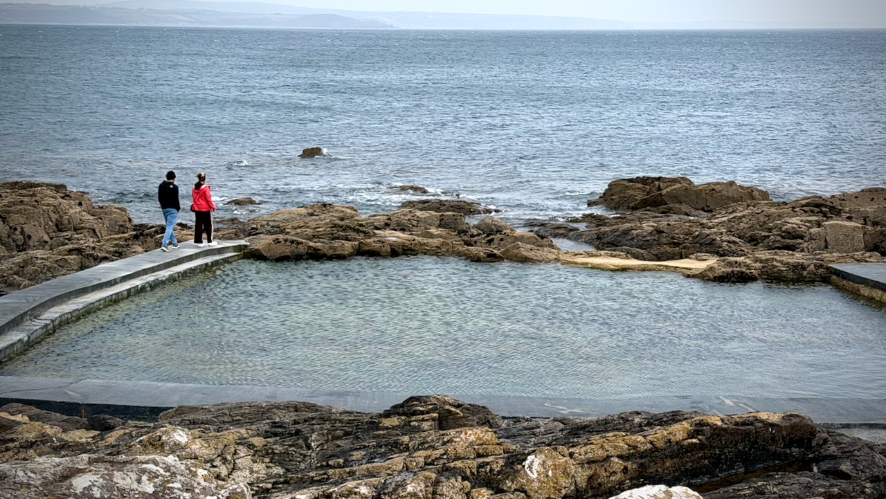
Here’s quaintly named Mousehole.
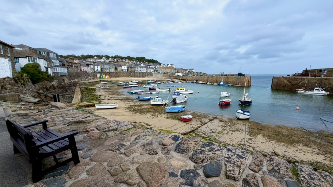
The Mousehole Rock Pool is a historic, community-built tidal sea plunge.
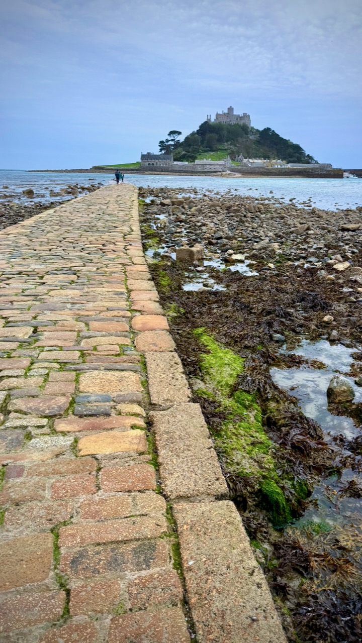
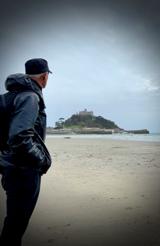
Once set-up at camp in Penzance, I hopped a bus to see St. Michaels Mount. Though I arrived in time for the low tide crossing, wind and waves made it impossible.
Great hike. Highly recommended.
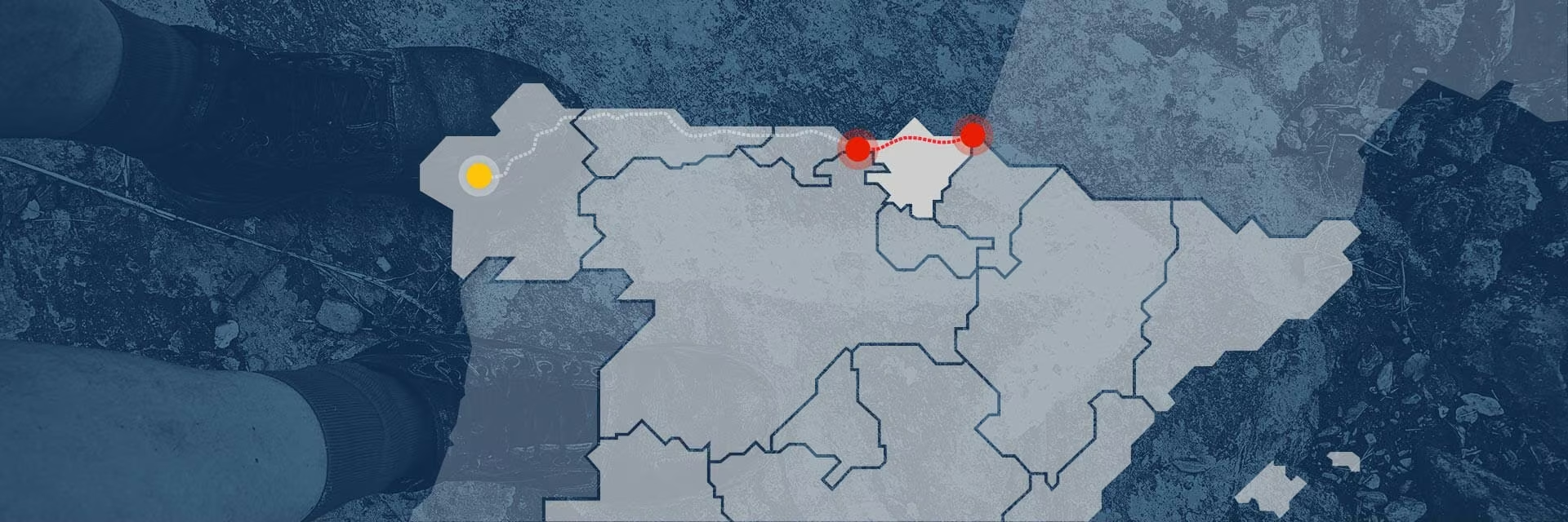
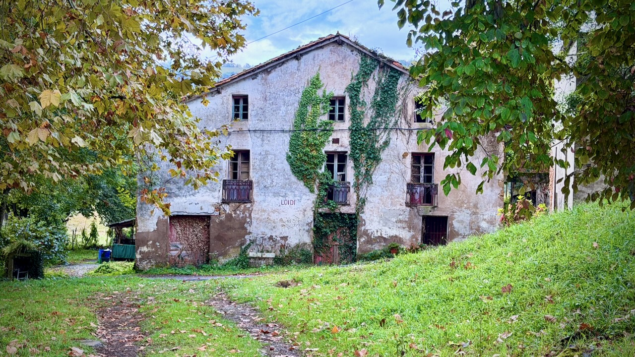
Camino del Norte, Spain. French border to Bilbao.

Trip report by BestHike editor Rick McCharles.

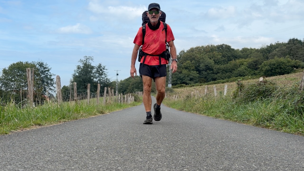
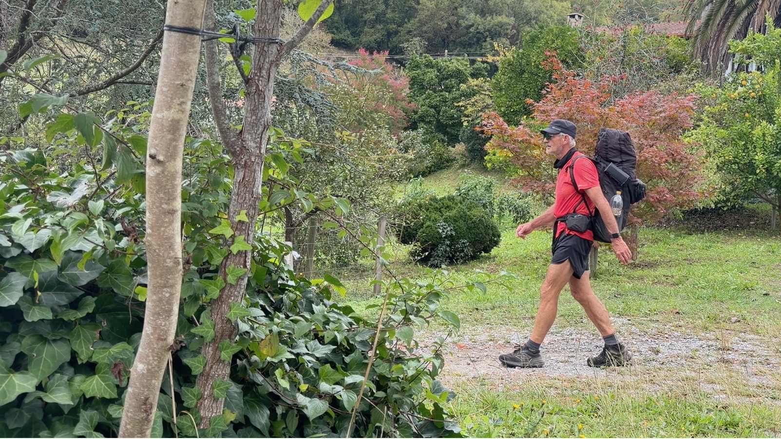
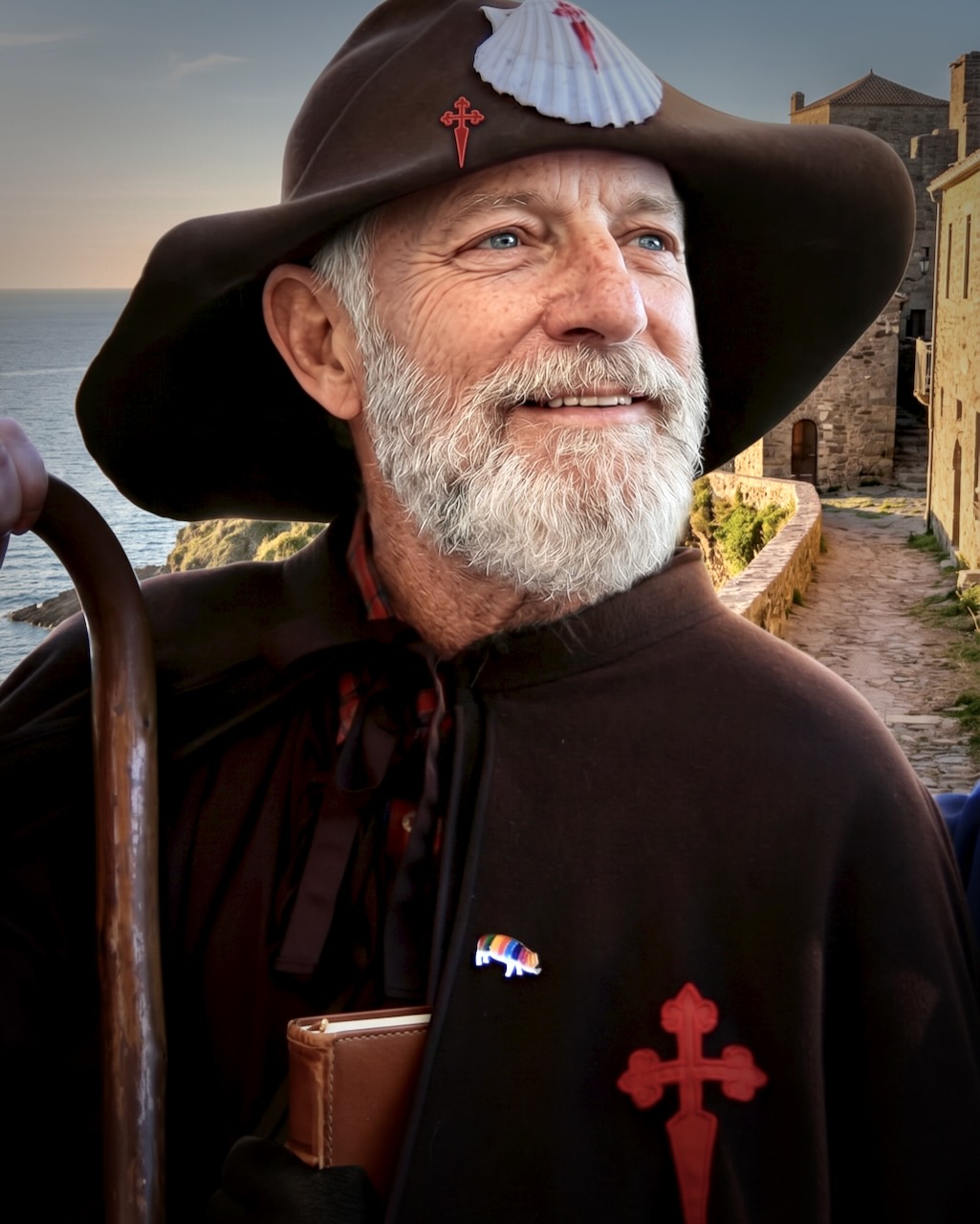
I had A.I. software remake me into a proper pilgrim. ๐Ÿ˜€

I cycled 300+km of the French Way in 2022. That was terrific. It’s the most popular of the Camino de Santiago pilgrimage routes.

By comparison, the Camino del Norte (Northern Way) totals 817 kilometres (508 mi) across northern Spain from the border with France to Santiago de Compostela. It’s only the 6th most popular of the many Caminos. Over 21,000 pilgrims / year.

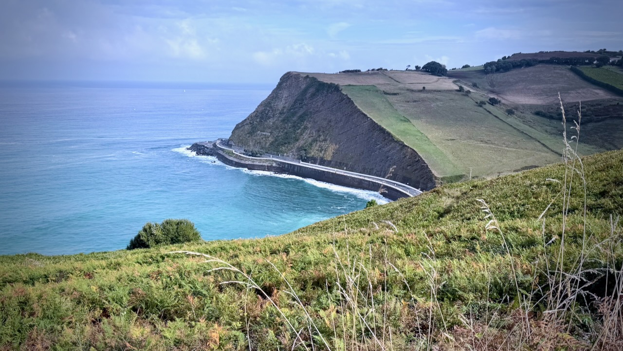
SO … in 2026 I did 6 days from French border town Irun to tourist mecca Bilbao.

The red section on the map below.

Click PLAY or get a glimpse of what it’s like on YouTube.

Camino pilgrimage routes attract many different kinds of people. Much different than on other thru hikes, I find. Some are spiritual seekers & reflective travellers. The highlights for others are the food, history, and culture.

Since the Camino del Norte attracts less than 5% of the Camino Francรฉs numbers, accommodations are not all booked. It’s not nearly as crowded.

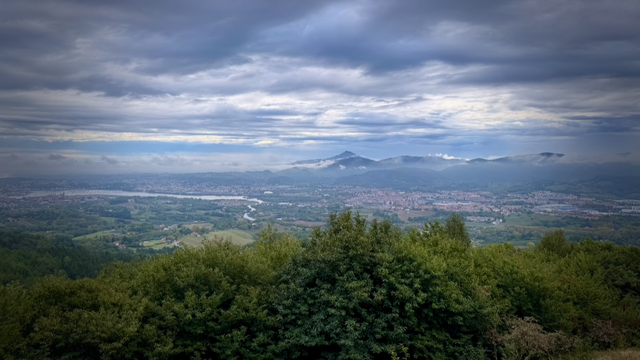
Many feel Irun to Bilbao is the best and most scenic section of the Camino del Norte.

Steep climbs, rugged coastal cliffs, and longer stretches between services make the START of the Northern Way the most challenging.

I stayed in combination of albergues (pilgrim hostels), hostels, and emergency tent one night. Accommodation is quite inexpensive.

Flying into Bilbao

It’s easy and comparatively inexpensive to fly into Bilbao.

I arrived late night on an inexpensive flight.

More PHOTOS.

Bilbao downtown Guggenheim museum titanium metallic facade by night

I picked up my Camino de Santiago pilgrim passport (credencial del peregrino) at the Cathedral. This gains you entrance into some of the pilgrim accommodation en route.

Bus to Irรบn

It’s easy to find a direct bus to Irรบn close to the the French border.

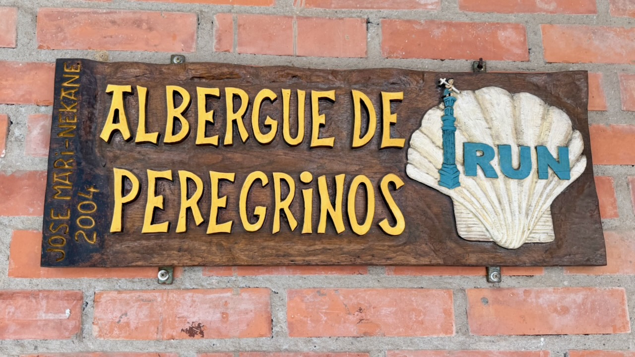
I stayed at the Jakobi Pilgrim Hostel (Albergue de Peregrinos Jakobi) in Irun, the official starting point for the Camino del Norte. Payment is by donation.

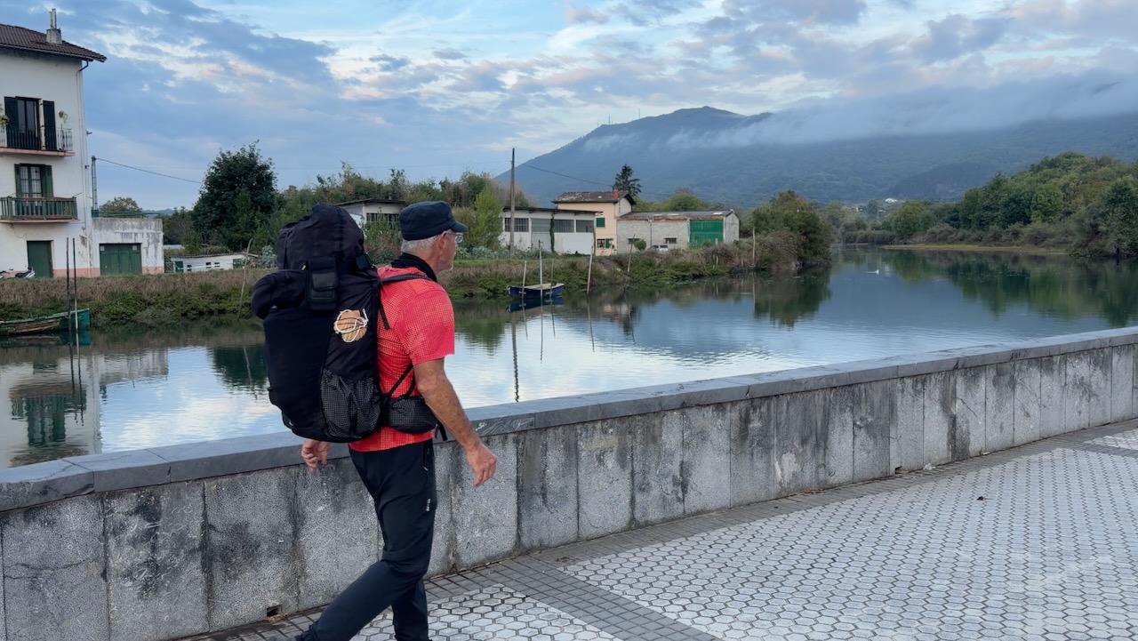
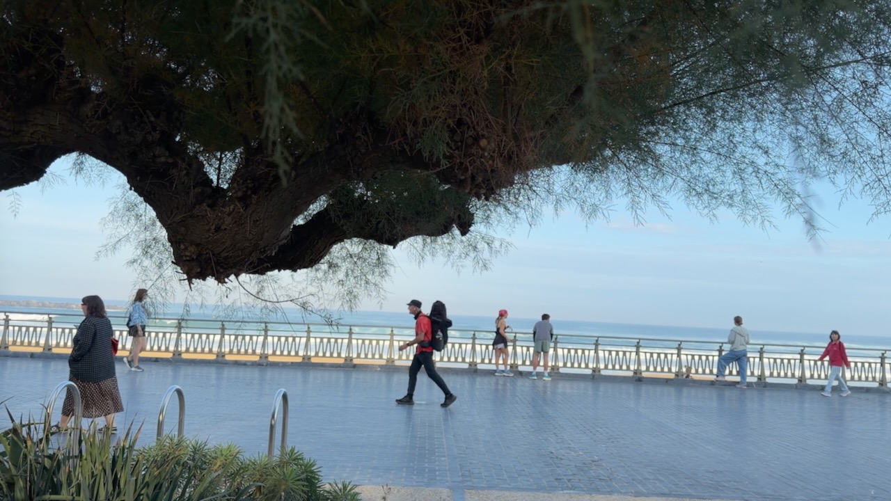
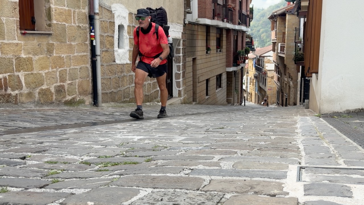
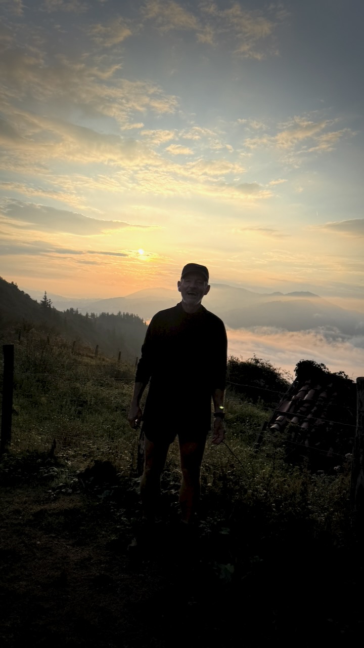
Next morning, off and running.

The rain in Spain falls mainly in the NORTH. Over the coming week I had all kinds of weather, including lightning storm.

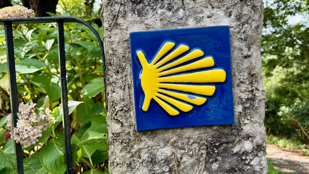
The Camino is well signed. I mostly used AllTrails to confirm turns. But it seemed there were many other apps in use.

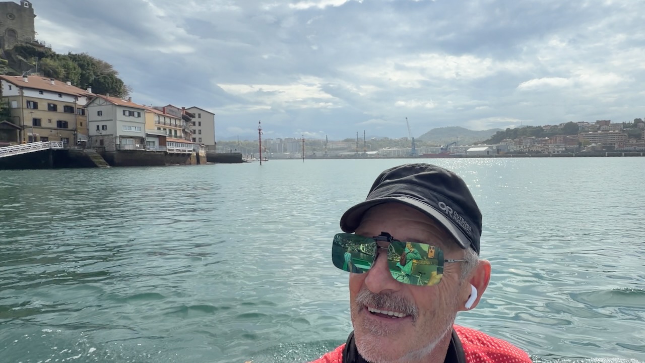
There’s one ferry crossing – the Pasaia River.

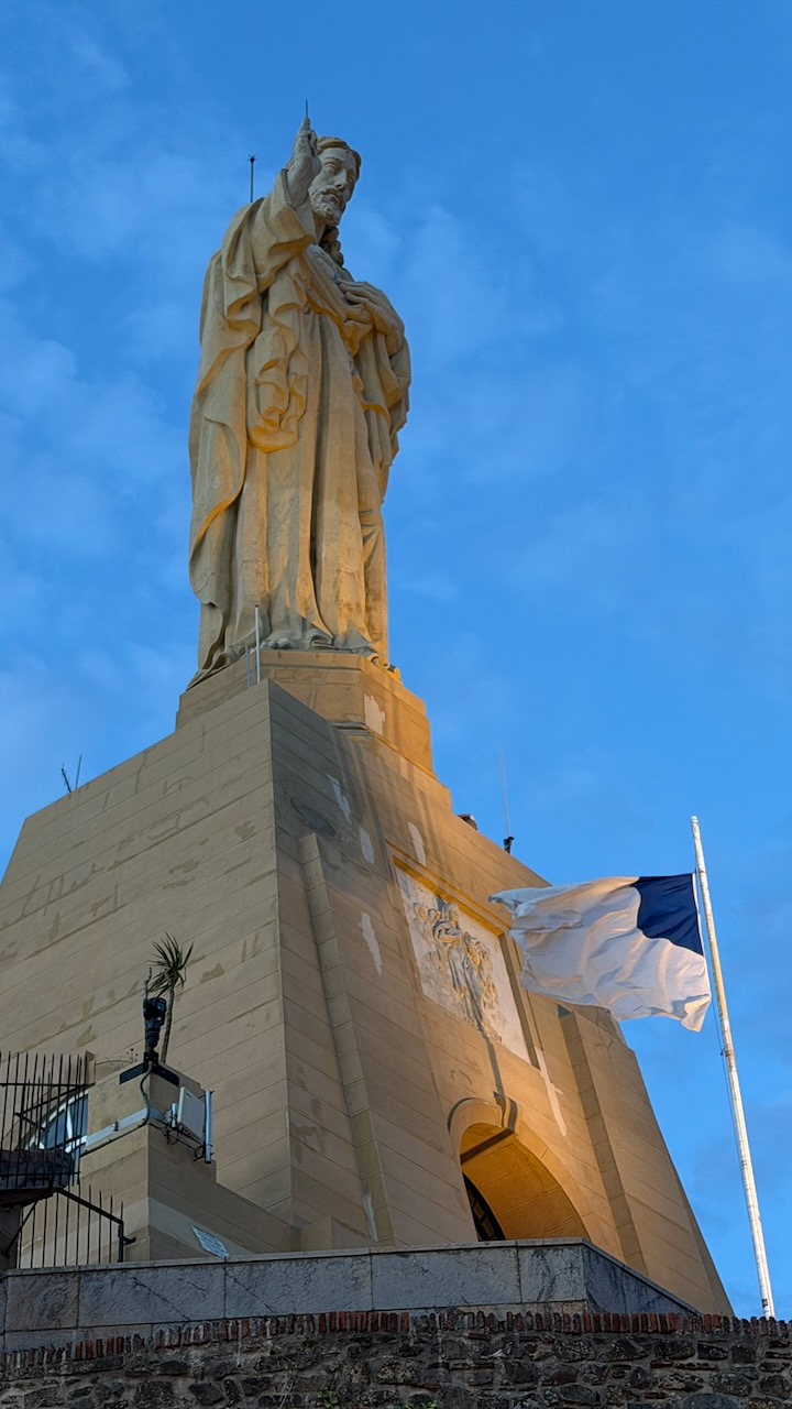
First night I stayed just outside San Sebastiรกn, a tourist city very competitive with Bilbao.

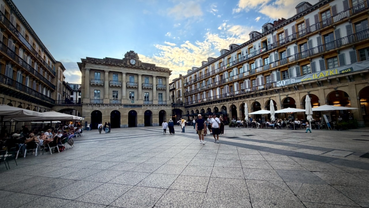
San Sebastiรกn

Some stay 2 nights here as there’s a lot to see. I toured the town one evening and again the next morning.

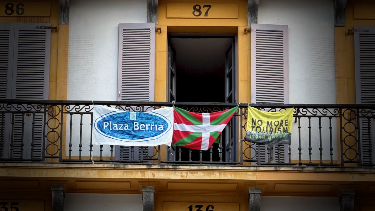
This is the kind of place in Europe some feel is over-touristed.

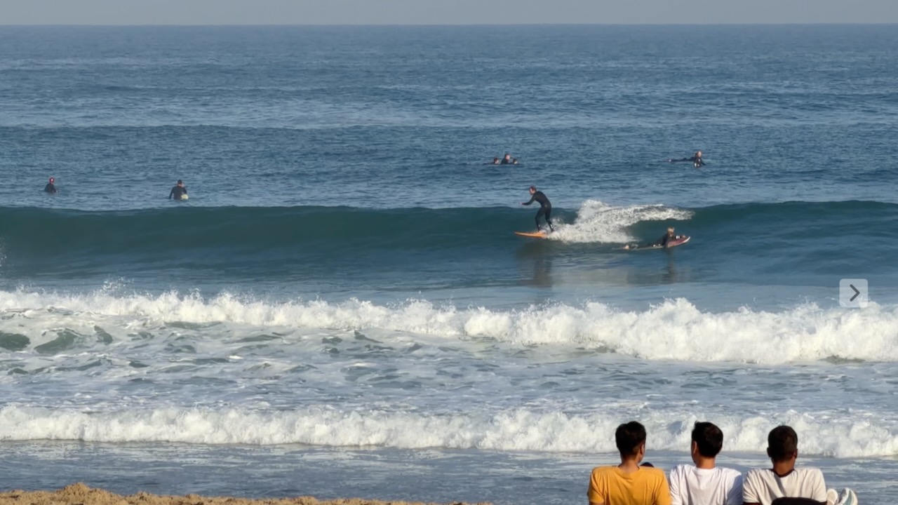
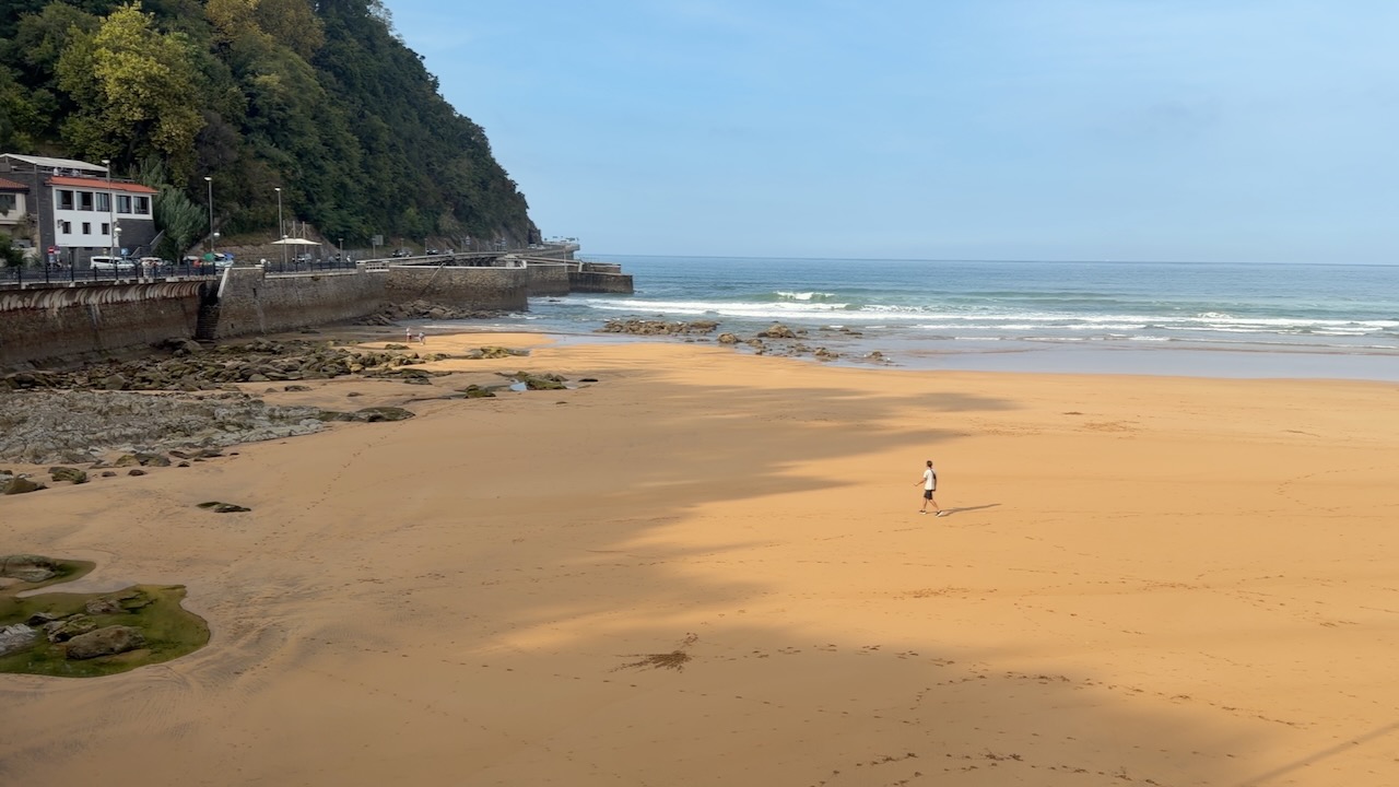
San Sebastiรกn is a beach town, popular with surfers.


Onward.

One problem with ALL the Caminos … you end up doing a lot of walking on concrete and cobblestone.

By day 6 I felt one of my feet was bruised.

Zarautz Beach


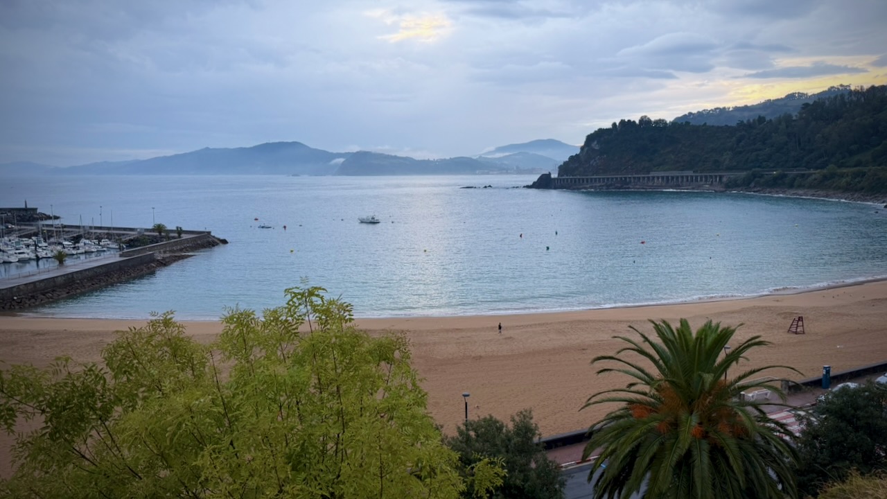
I did enjoy the coastal sections.

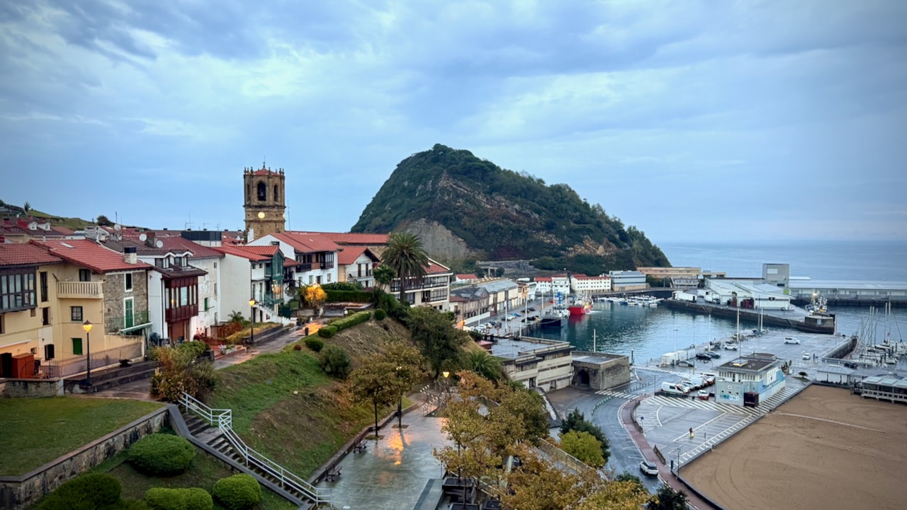
Getaria

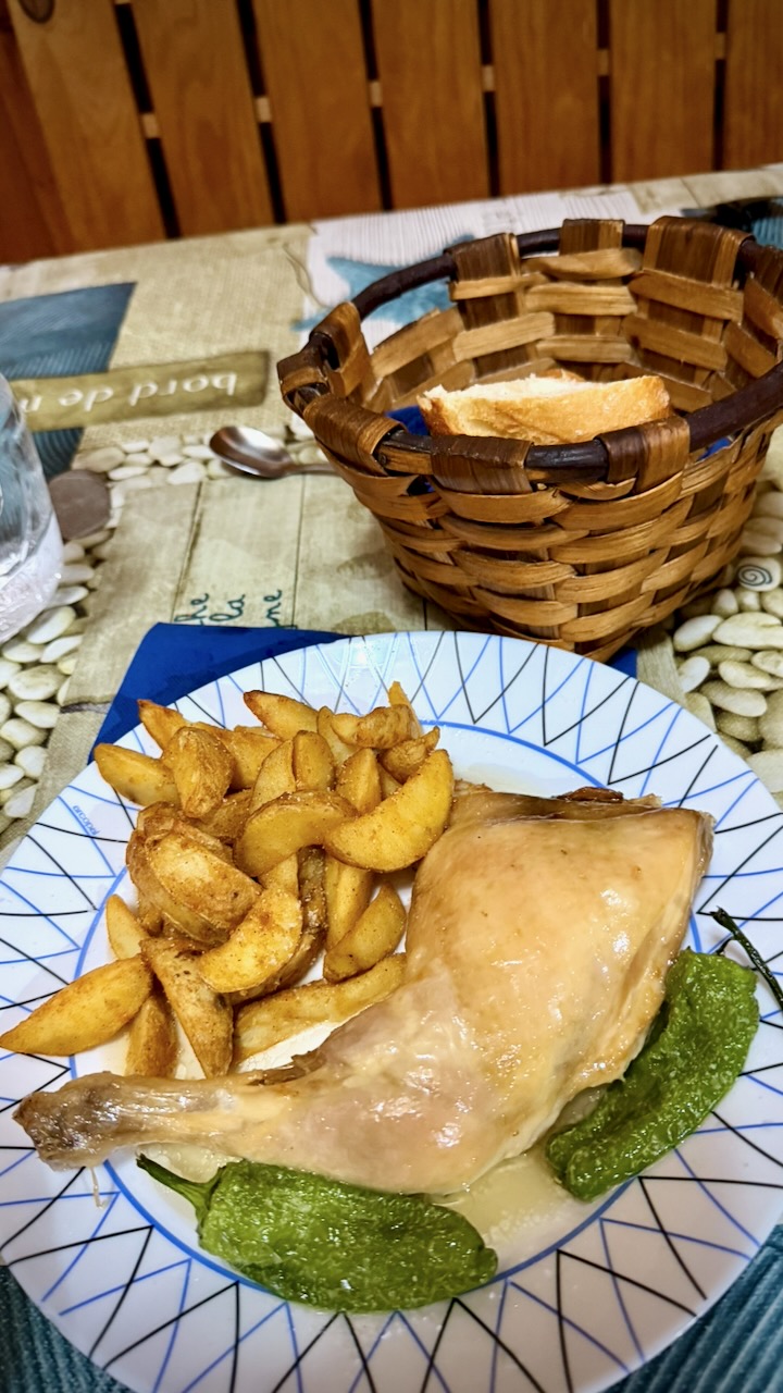
I happened upon a hostel in Getaria that was just serving up dinner. I stayed.

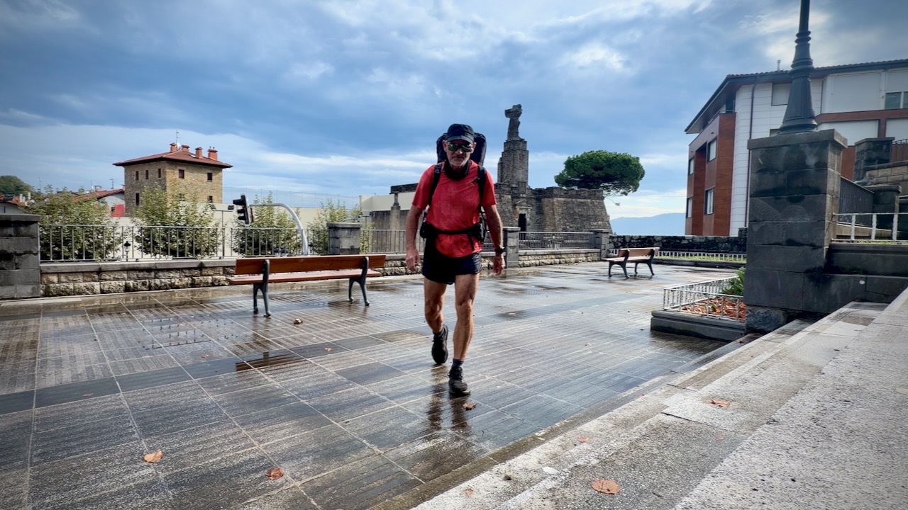
Early next morning I wandered the town before many more people were awake.

Got an early start on the hiking day.

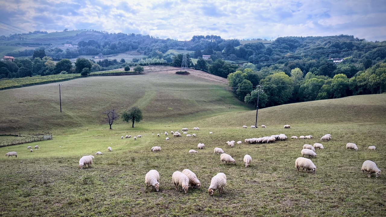
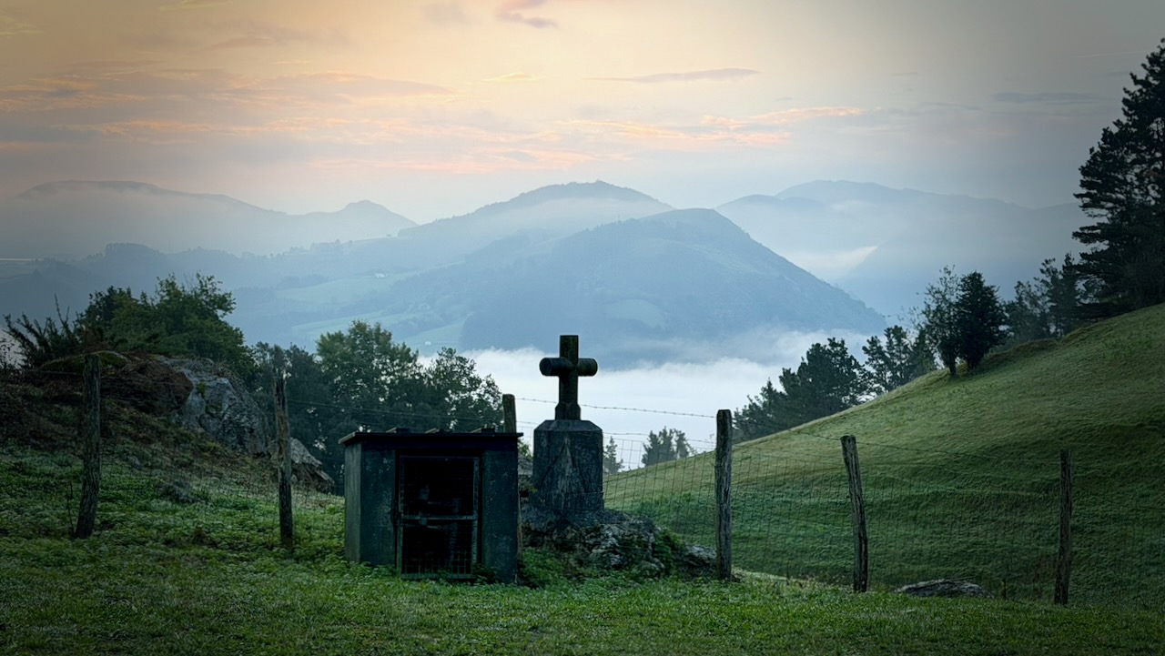
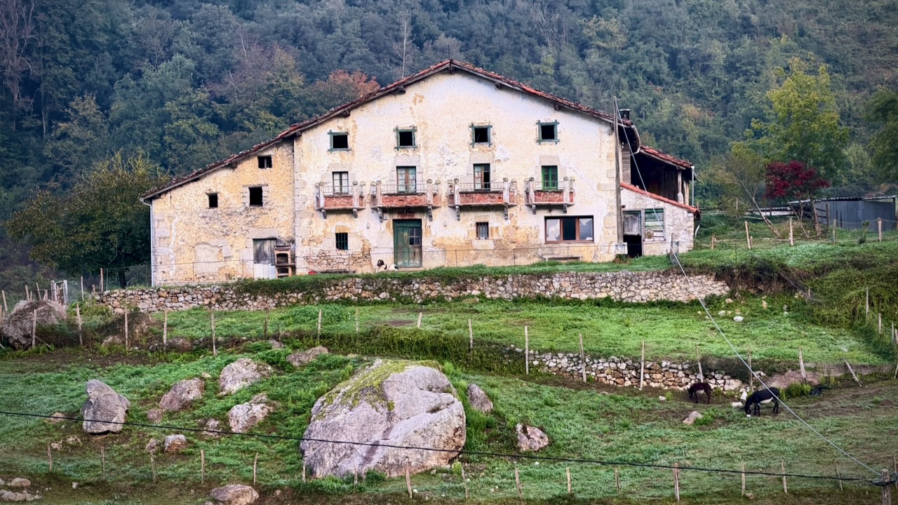
It’s a very rural area. Plenty of farm animals to keep you company.

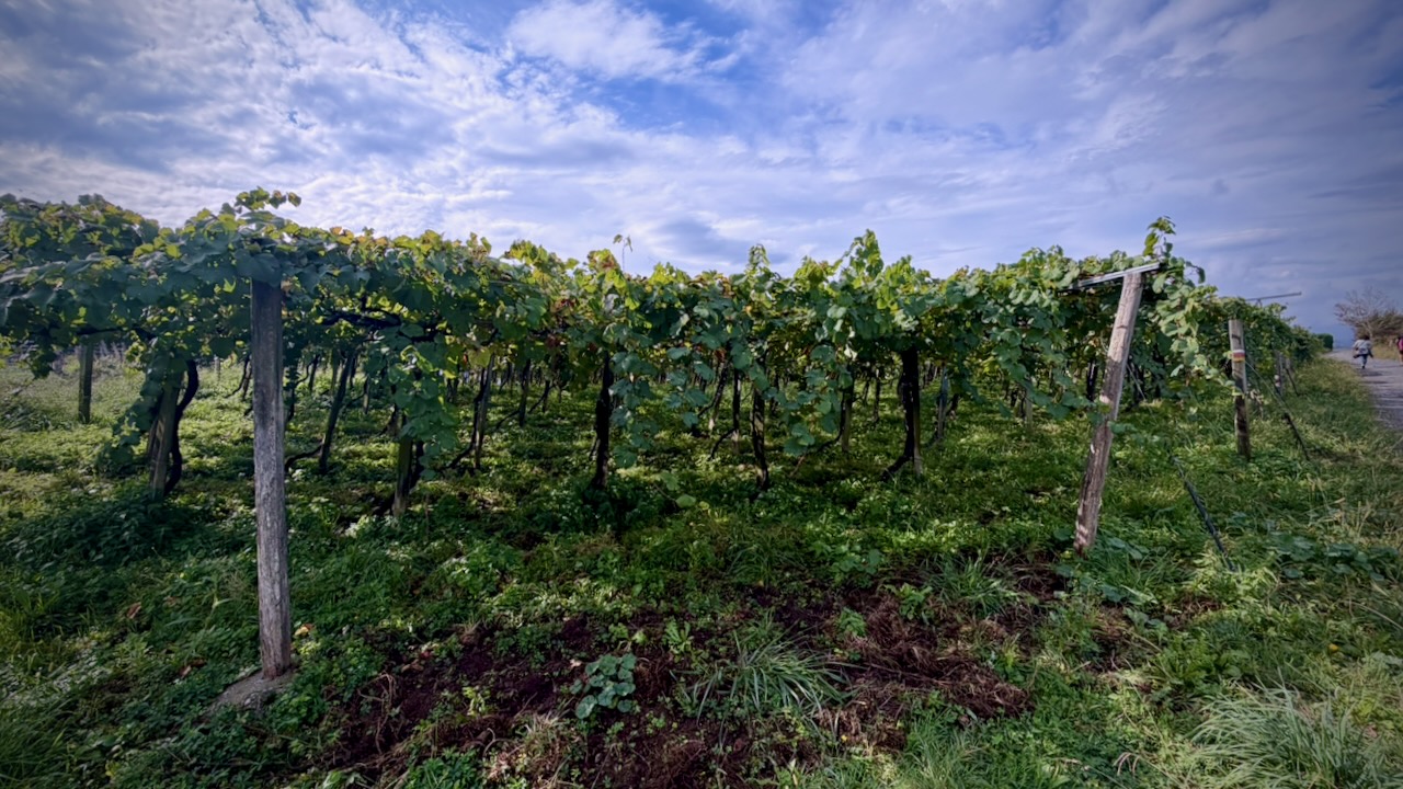
Some vineyards.

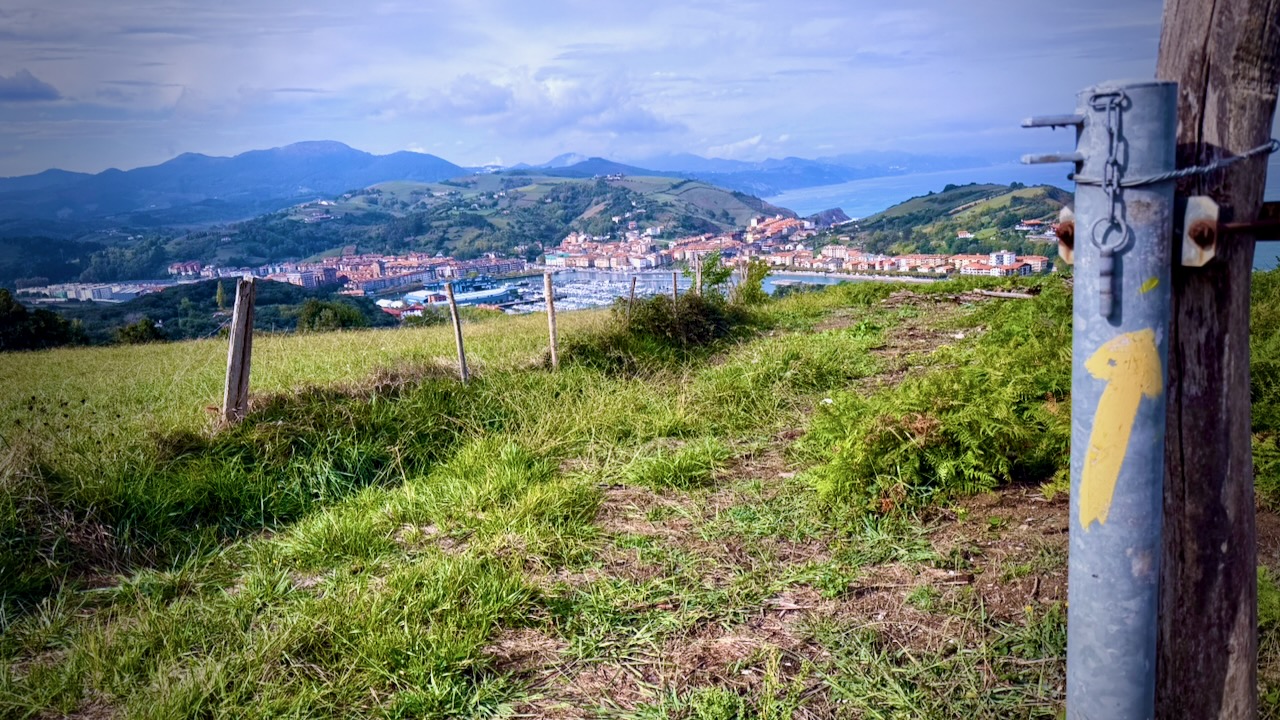
And eventually back to the coast.

Mutriku

Sections are very remote.

No bus. You might ride a horse out. ๐Ÿ˜€

Markina-Xemein

Monasterio de Zenarruza

Everyone wants to stay at the Monastery. Paid by donation.

Meals and room are quite basic.

But the place is beautiful.

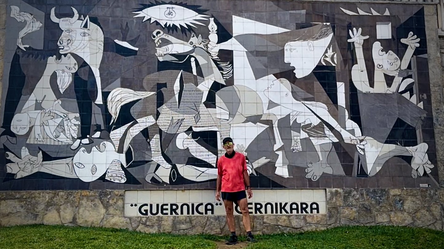
Guernica

The town of Guernica is infamous for the 1937 painting by  Pablo Picasso.

One of the best known anti-war paintings. Germans had bombed the people here relentlessly.

Many stay over in this historic city.

Bilbao

Early enough in the day, I walked on.

Skies darkened. I decided to wild camp before the rain. This is not legal โ€” except in emergency situations like this one.

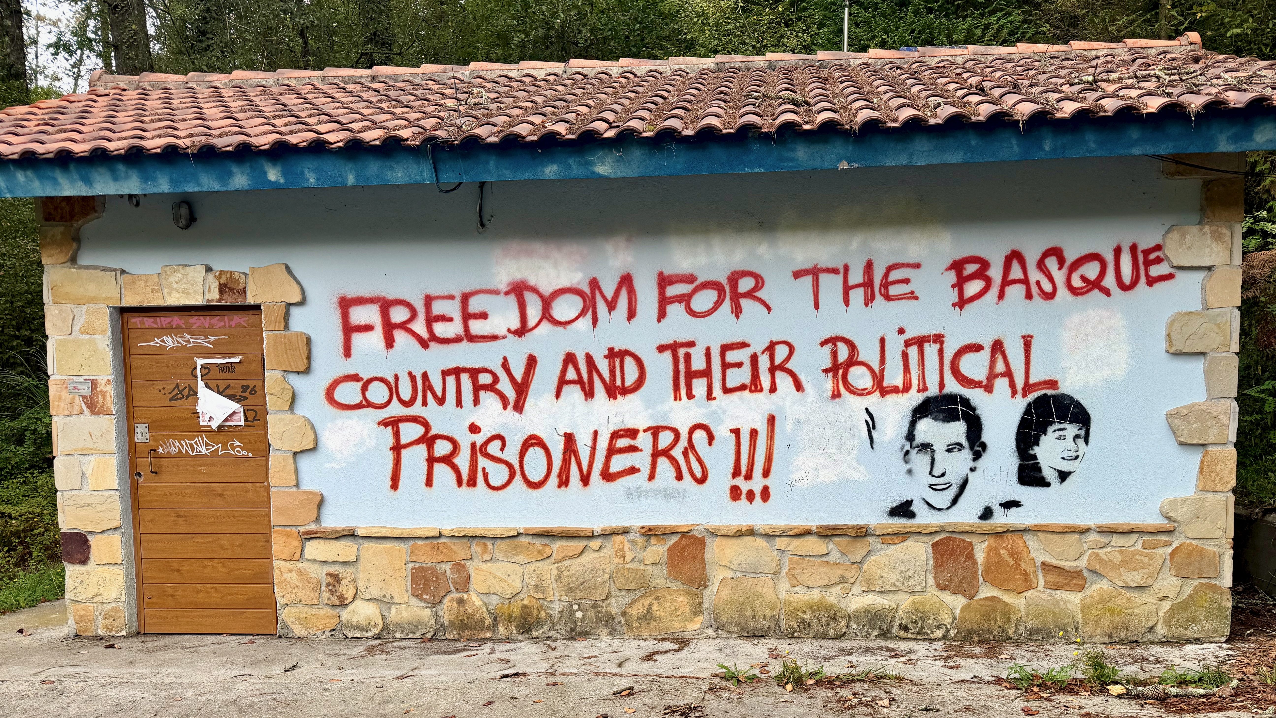
Surprisingly, I didn’t hear much about the Basque separatist movement.

With an even more torrential rain storm looming, I caught the first bus I saw on arrival to civilization to the centre of Bilbao. Happily, I made it to my very cool Pod Hostel before the worst of a deluge.

31 litres of rain / square meter in just a matter of minutes. It does rain in Spain.

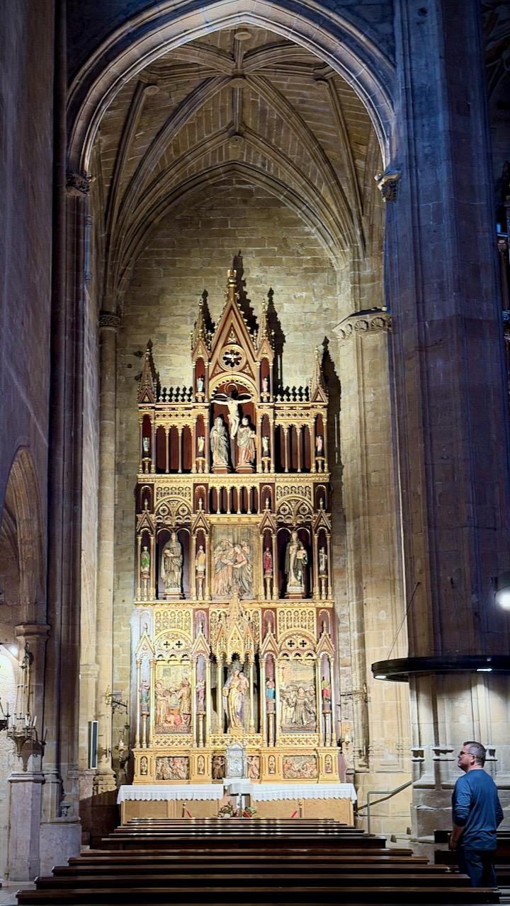
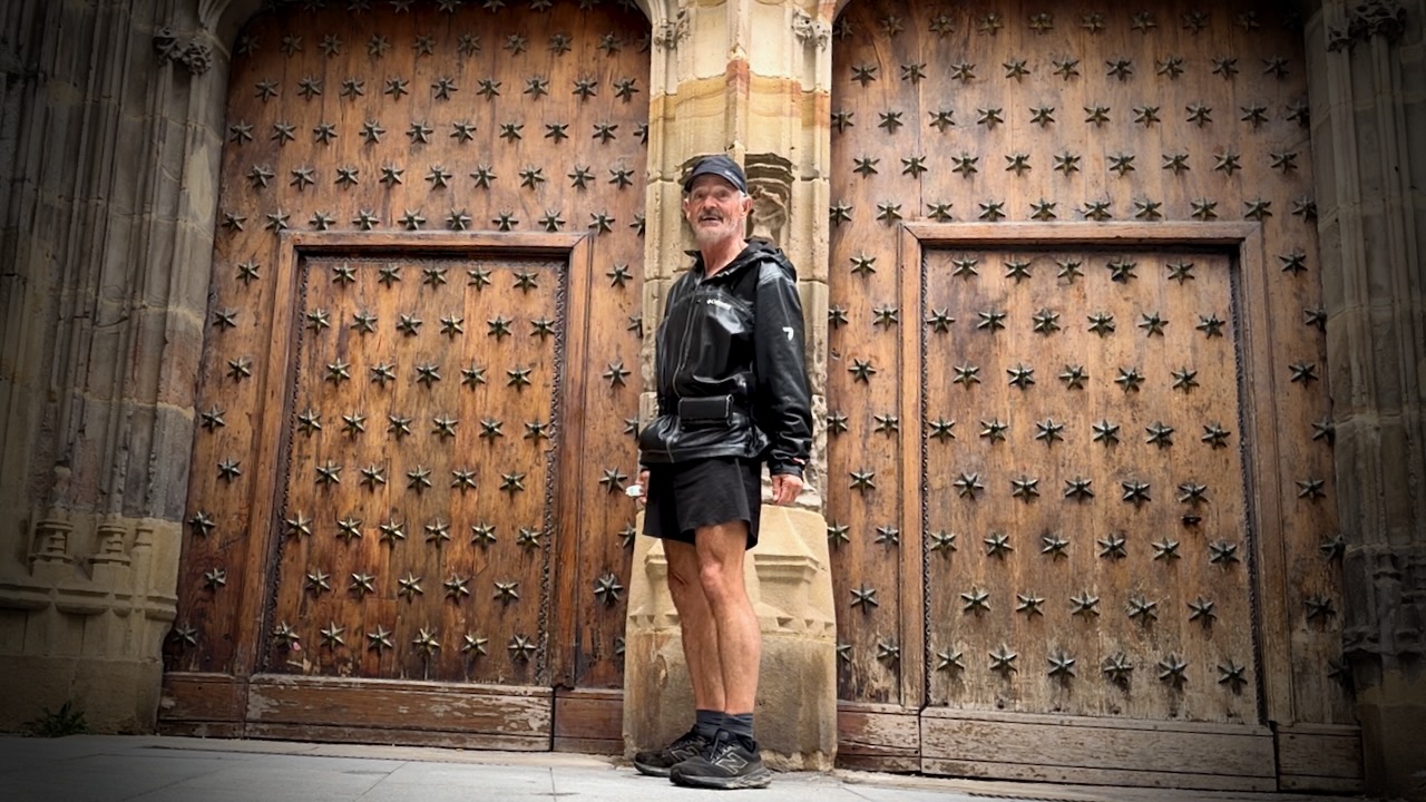
Here I am at the Bilbao Cathedral. The rest of my clothes in the laundry. ๐Ÿ˜€

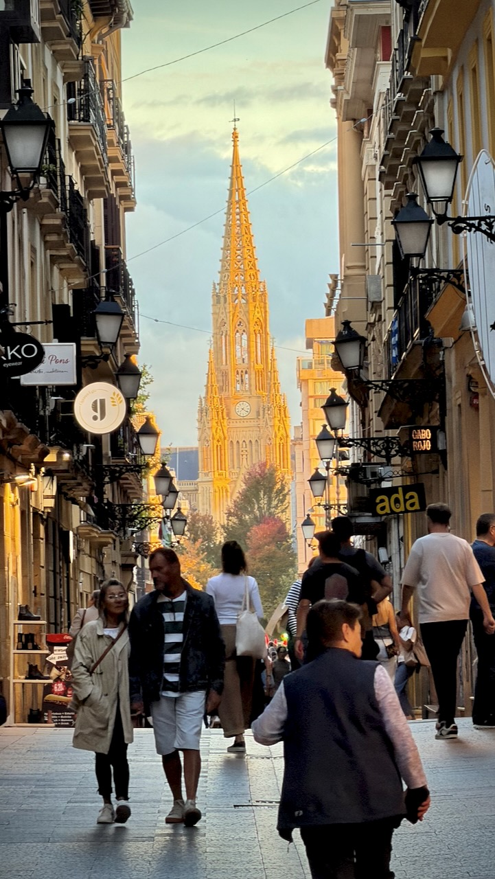
Bilbao Cathedral (Basilica of Saint James)

I’m considering a return to the Camino del Norte in future. Perhaps Vilalba to Santiago de Compostela, the final 100km. It merges with the bustling Camino Francรฉs for the final 2 days of walking.

Old Man of Storr – Isle of Skye – Scotland

Trip report by BestHike editor Rick McCharles.

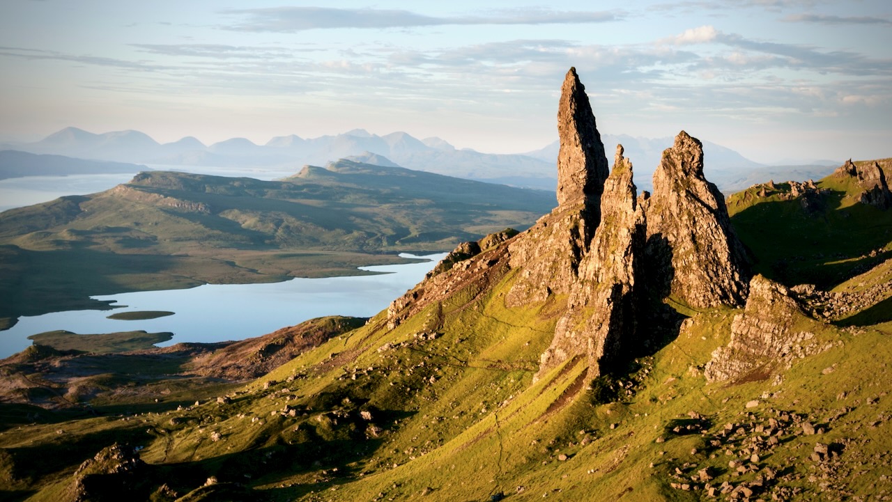
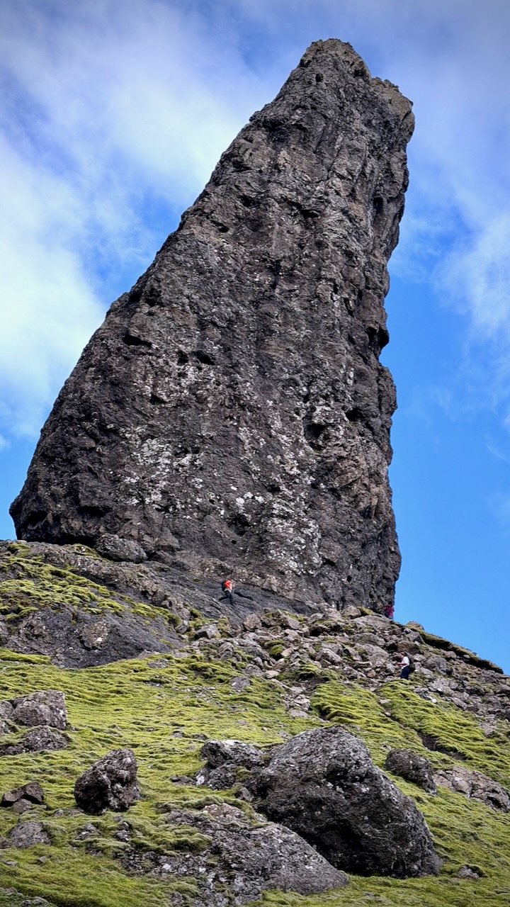
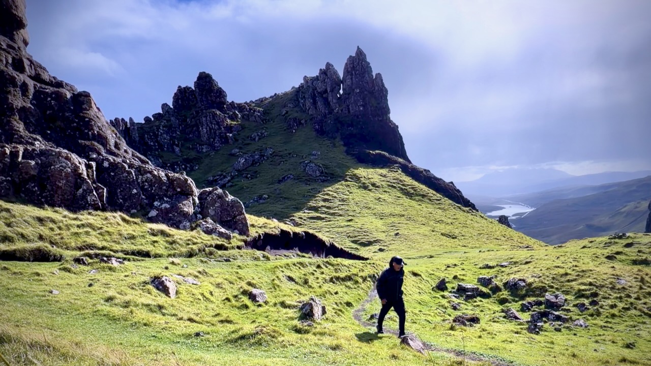
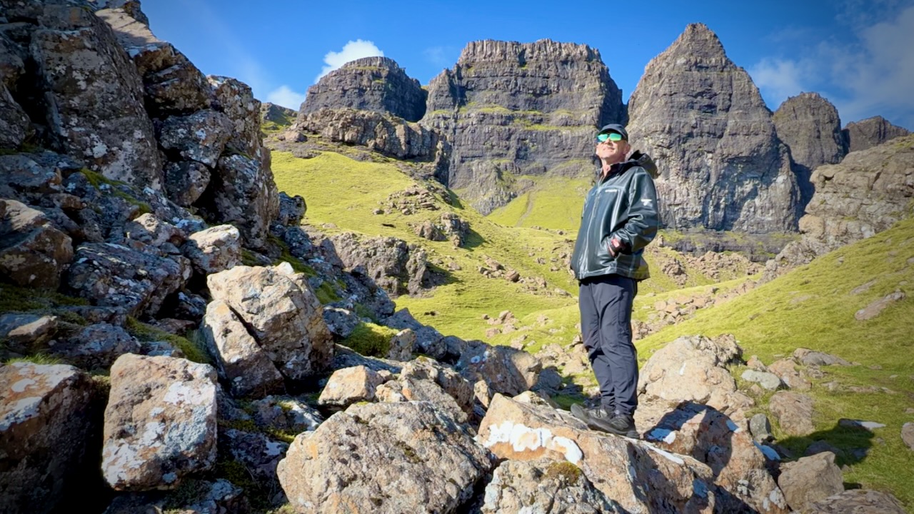
The Old Man of Storr is a 55-metre-high basalt rock pinnacle standing dramatically on the Trotternish Ridge of the Isle of Skye in Scotland.

Created by an ancient, massive landslide, this striking geological landmark sits roughly 7 miles north of Portree and is the most popular hiking attraction on the entire island.

Old Man of Storr, Trotternish, Isle of Skye, Scotland, UK

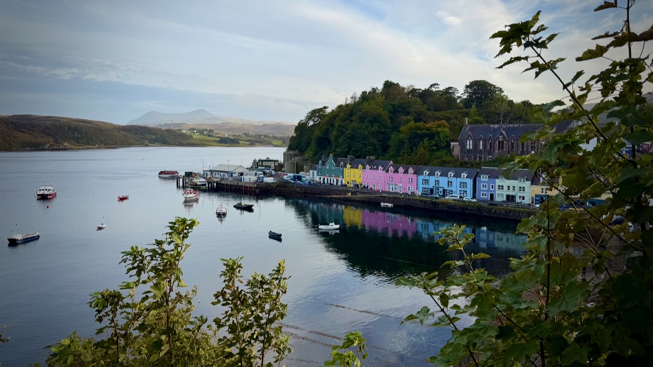
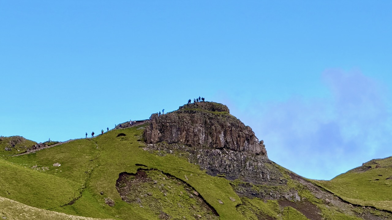
Easy and inexpensive bus access from Portree keeps this short day hike busy. In fact, all 300,000 visitors / year seemed to be out on the rare sunny day I was there. ๐Ÿ˜€

Portree, Isle of Skye
  • Distance: 3.8 km (2.4 miles) round trip.
  • Time: Approximately 1.5 to 2 hours.
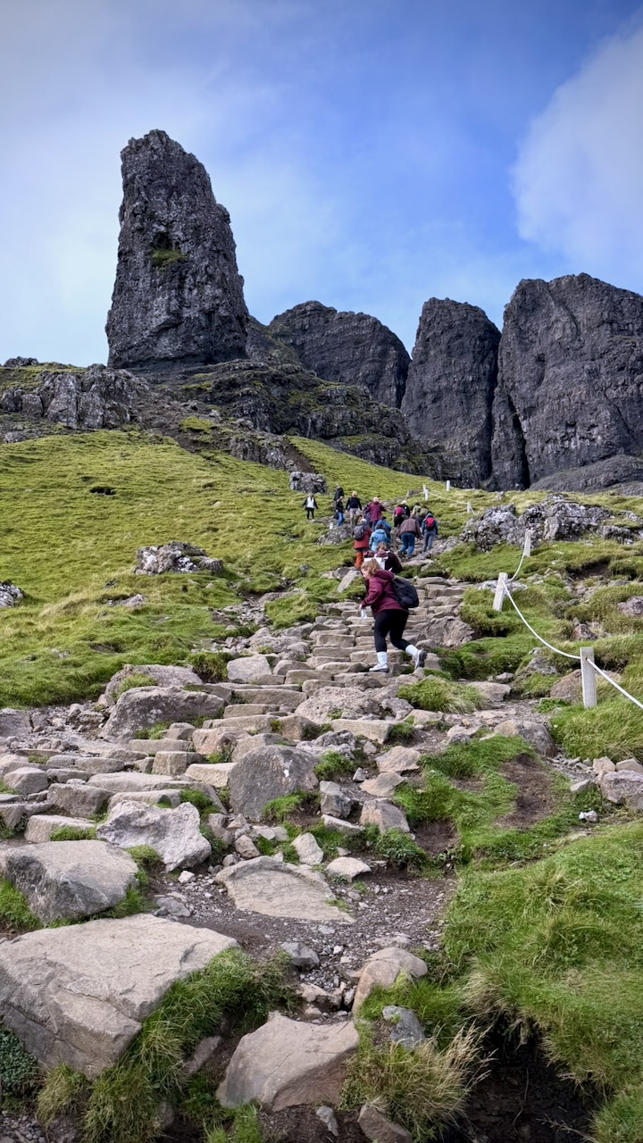
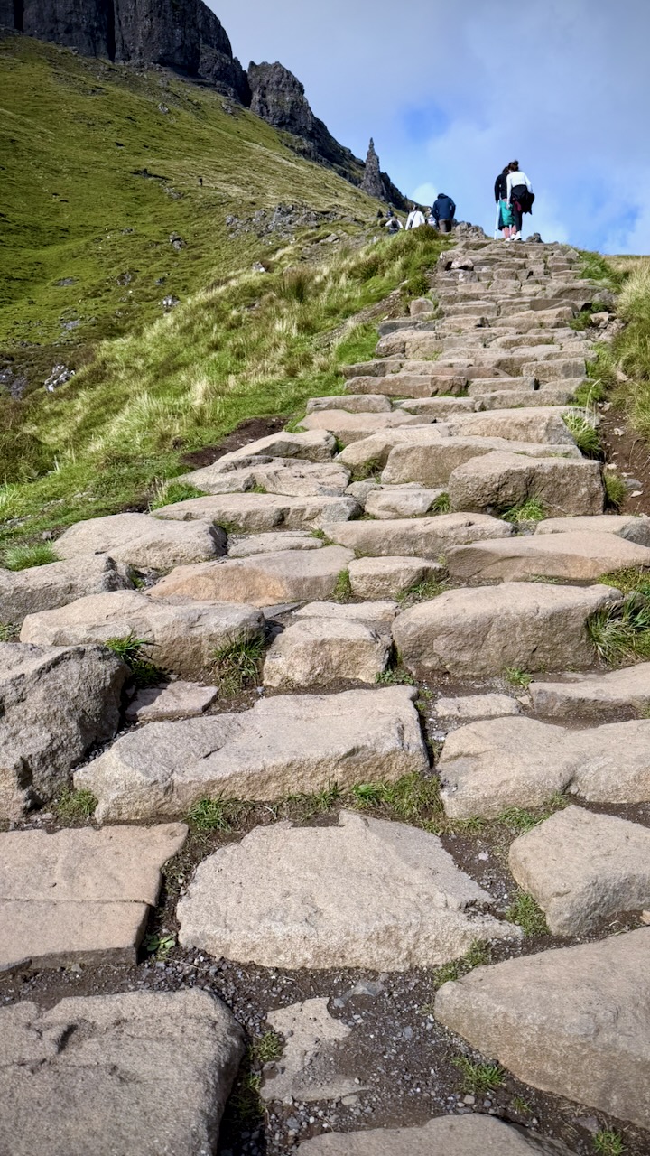
  • Difficulty: Moderate. The gravel trail is well-maintained but climbs steeply, gaining about 205 metres (700 feet) of elevation.
  • Terrain: Mostly firm gravel paths and pitched stone steps. The final stretches up near the “Sanctuary” (the base of the spires) can become muddy, rocky, and slippery, so sturdy footwear and the balance of a mountain goat are recommended
  • Aim to arrive before 8:00 AM or later in the evening to secure a parking space and enjoy a quieter hike
  • Several buses a day can get you here

Here’s the start.

And here’s Storr, the main attraction.

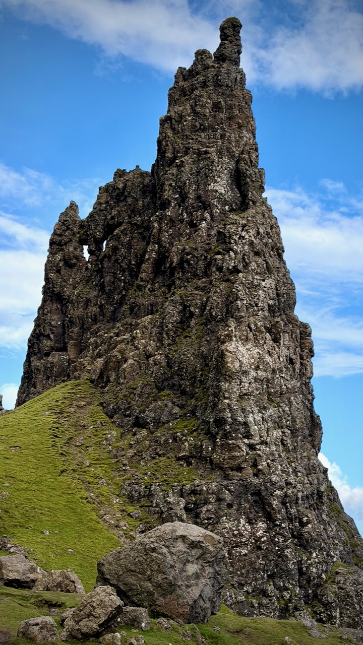
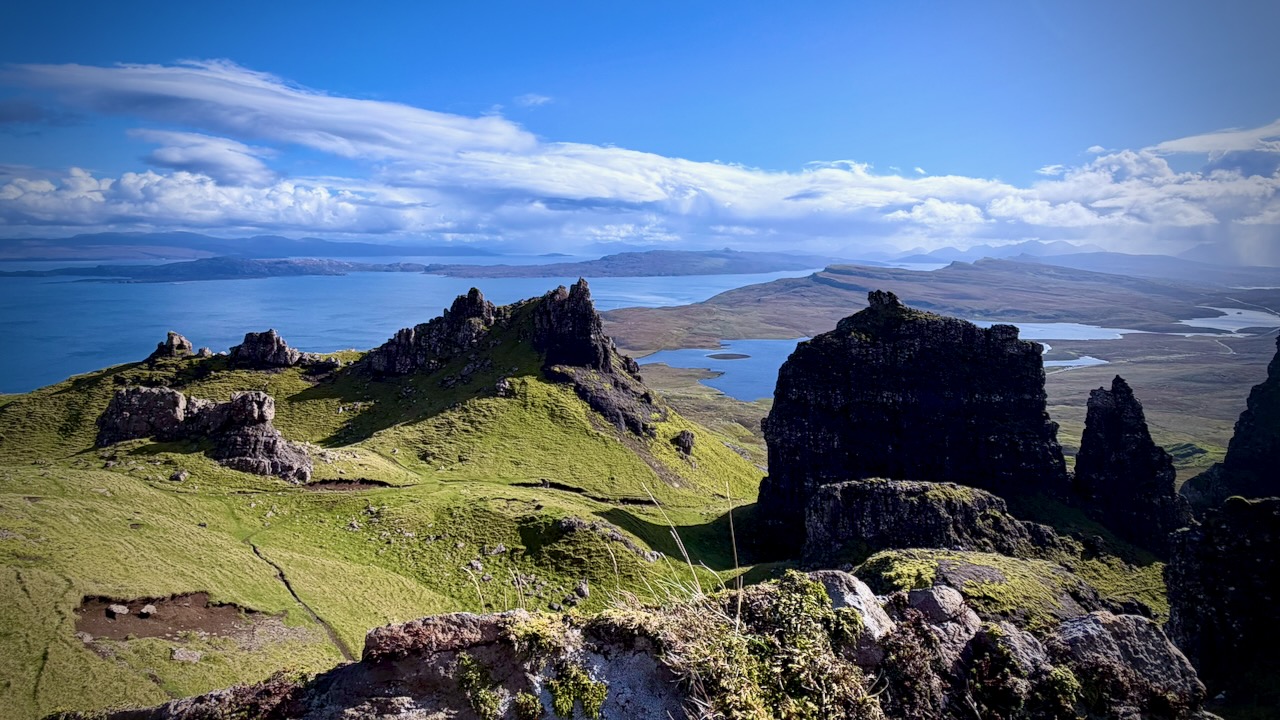
Of course there are many more spires, some even more striking.

There are a number of viewpoints.

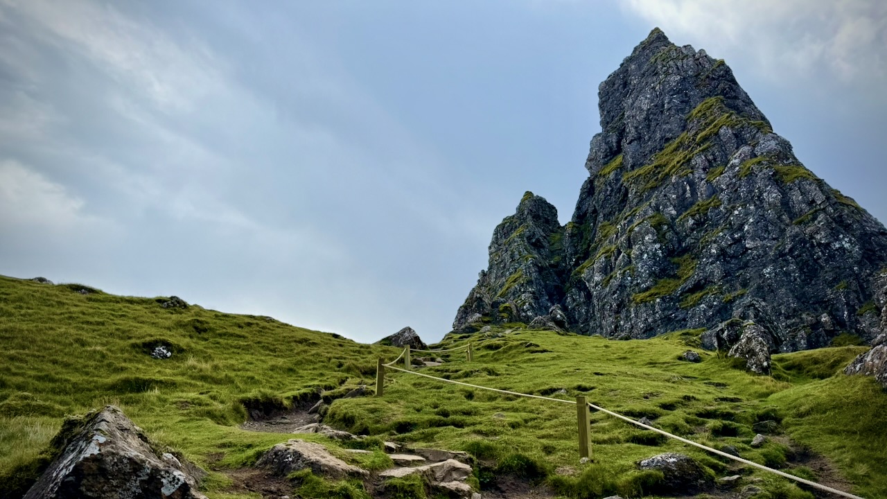
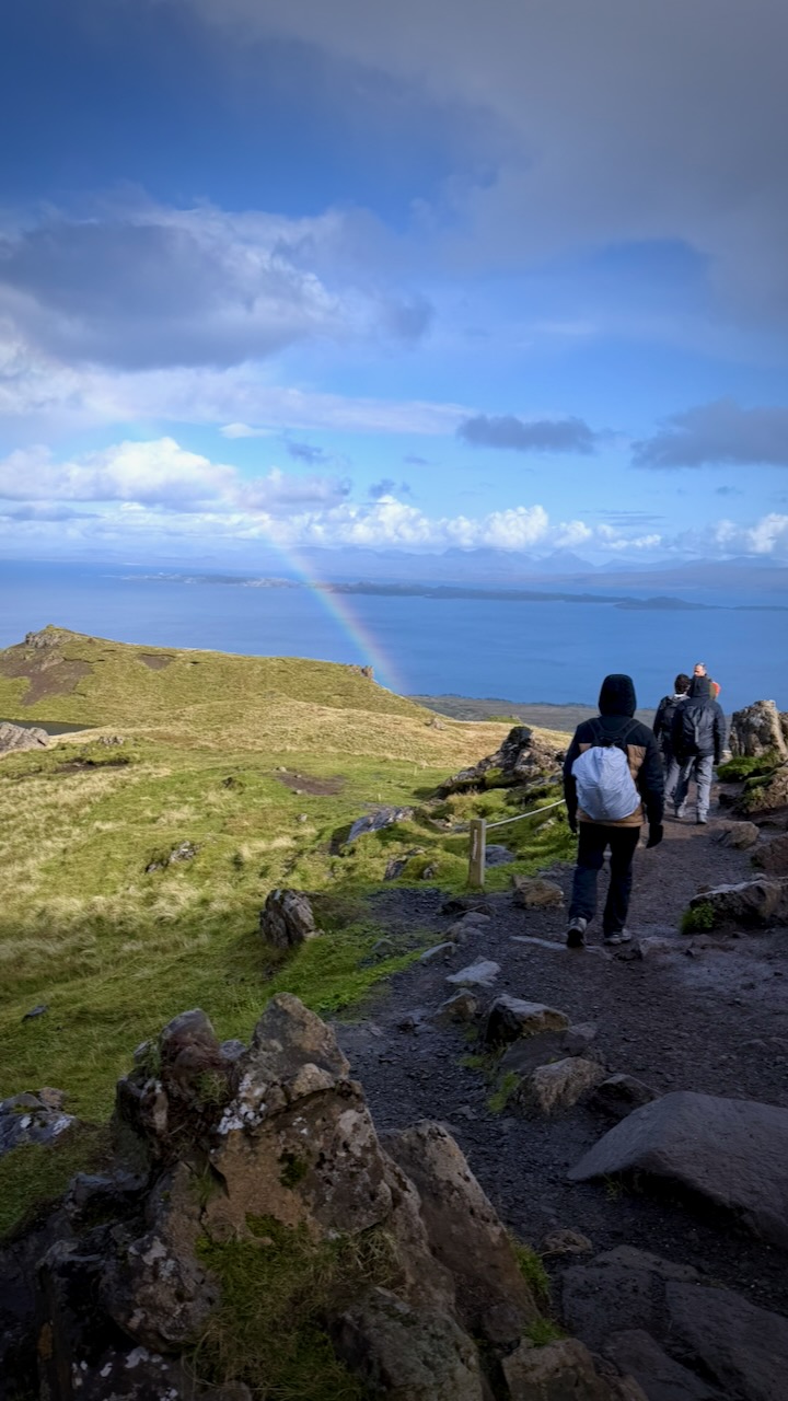
Follow the sheep along the roped off trail …

… or hop the rope and enjoy equally fantastic scenery on your own.

I had lunch and enjoyed the sunshine for about an hour without seeing any other people. I had plenty of time, waiting on the bus to my next hike.

A fantastic place.

Though it was a sunny day, we had some sun showers.

Highly recommended if you get to remote Isle of Skye.

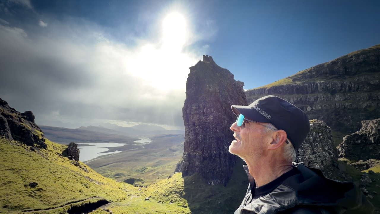
I’d posted an A.I. modified image of myself โ€” aged by the Scottish highlands. ๐Ÿ˜€

Though no app is needed once you get to the trailhead, I had AllTrails – The Old Man of Storr Loop open.

Click PLAY or watch some drone footage on YouTube.

Click PLAY or check out Portree on YouTube.

11 Days Cycling Vernon to Fernie, B.C.

Trip report by BestHike editor Rick McCharles

Out visiting friends in Kelowna and Vernon, my original plan was to cycle back to Calgary on the Trans Canada (Great) Trail.

I’d cycled Vancouver to Calgary on this route in 2020 โ€” so well knew the challenges. ๐Ÿ˜€

Click PLAY or watch 2 minutes of highlights on YouTube.

Vernon, Kelowna, Penticton

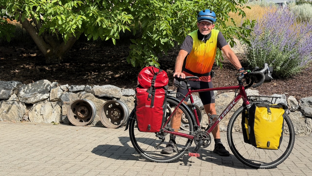
Here I am setting out from Vernon. Clean & keen.

I stopped by Sun Country Cycle in Vernon to have them top up air in the tires and look over the bike for any potential problems.

The Okanagan Rail Trail leaving Vernon is fantastic. This is not part of the Trans Canada Trail.

As you get closer to Kelowna, the route is not nearly so good. I was hurting, as well, and could barely walk after only about 60km. I checked into the hostel in Kelowna wondering if I’d be able to continue. My muscles were cramping badly.

BUT I did make it to Penticton. Still hurting, but less and less.

AND was able to cycle up to the Myra Canon trailhead โ€” though the 945-meter elevation gain at never more than 2% grade in the HEAT was tough!

I crashed that night.

Myra Canyon Trestles & Tunnels

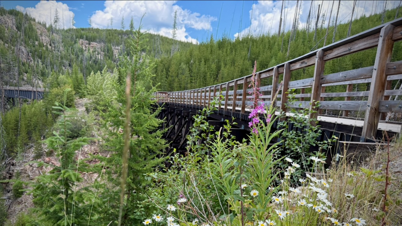
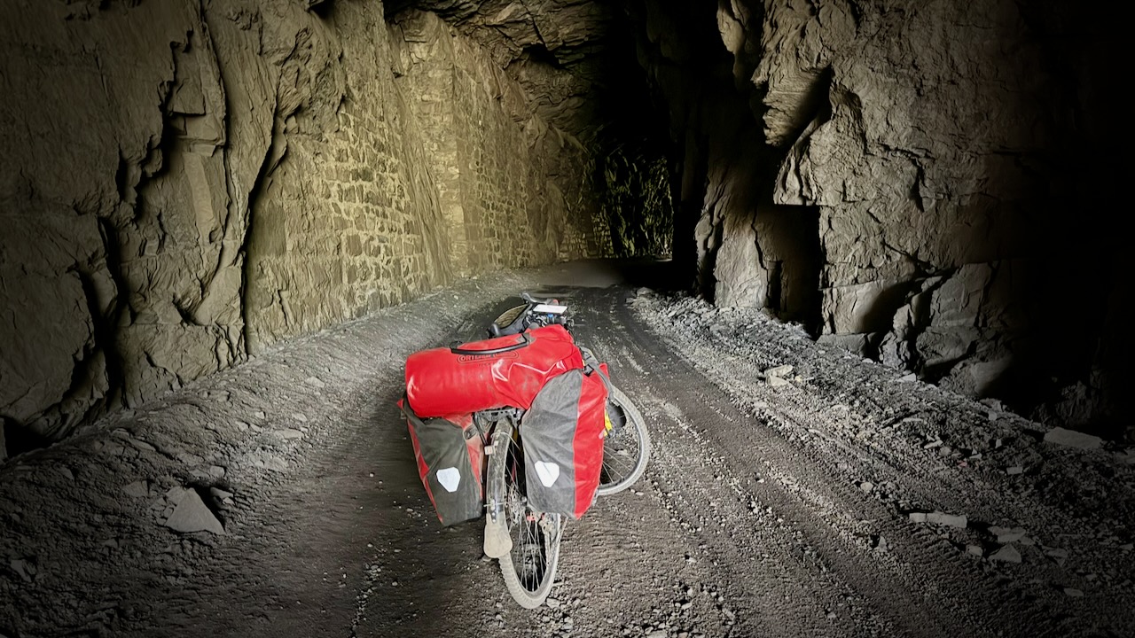
The 18 trestles and 2 tunnels are one of the highlights of the entire Trans Canada Trail. This was my 3rd time here and I enjoyed them as much as ever.

Click PLAY or watch it on YouTube.

Kettle Valley Rail Trail

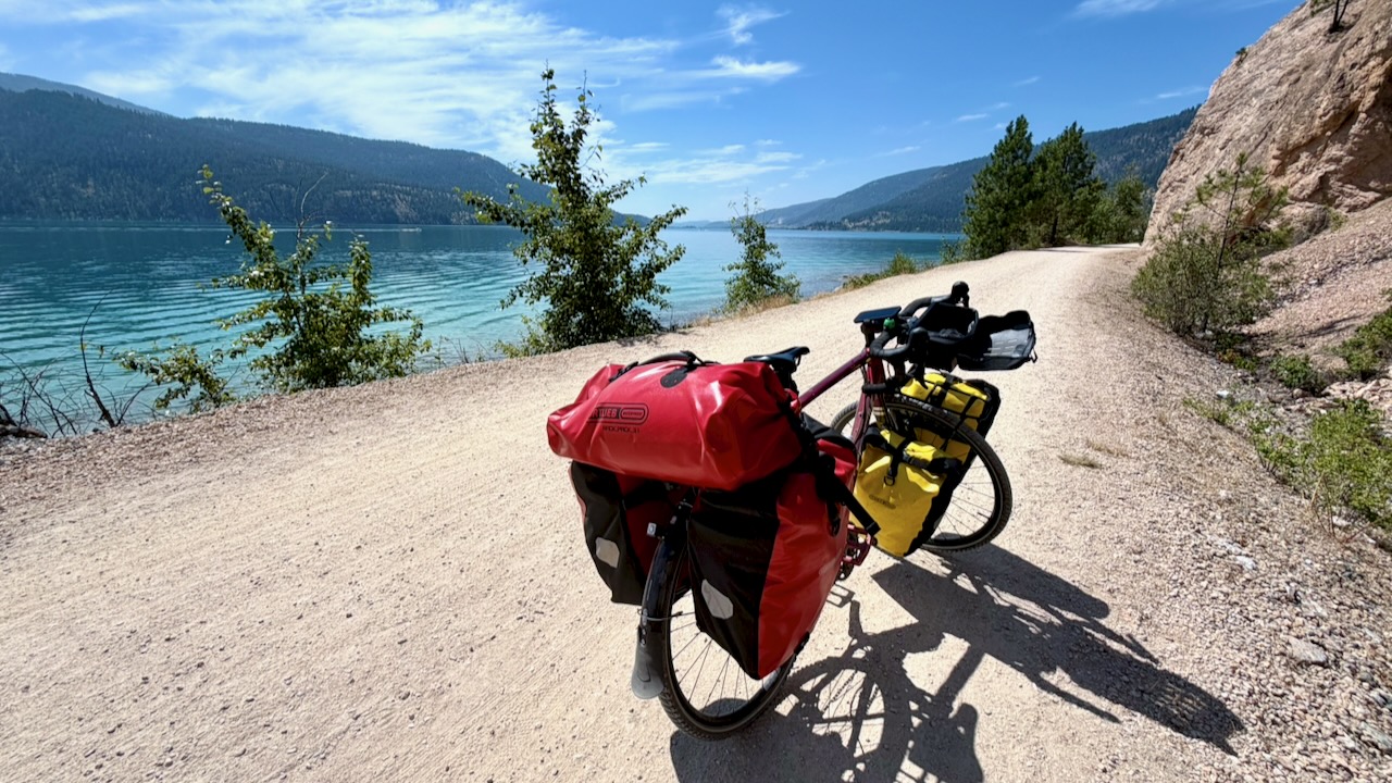
Myra Canyon is one small part of the 650 km Kettle Valley Rail Trail.

I continued on the KVR towards Calgary.

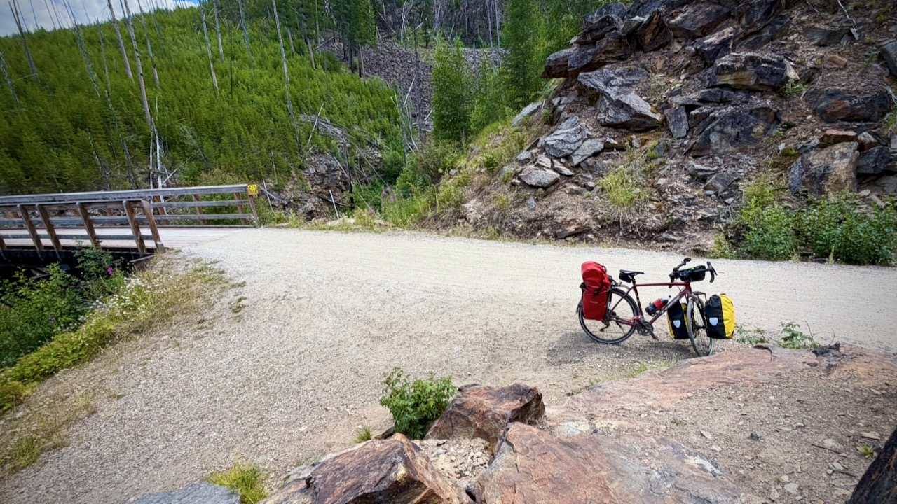
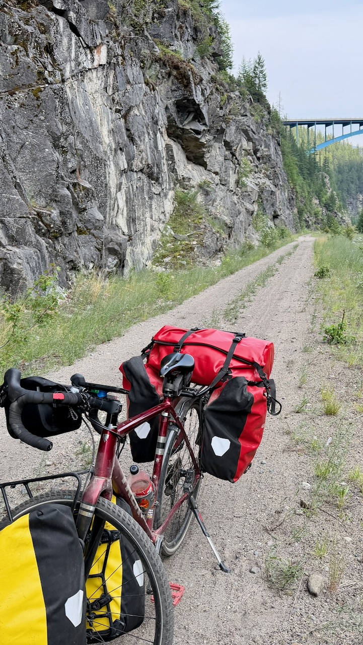
Fantastic views โ€” though the surface near Kelowna is very sandy & rocky. Those on eBikes were much happier than me. A good mountain bike would be better, as well, than my gravel bike.

On the other hand, I had the trail to myself most of every mile.

I stopped for coffee at Chute Lake, charging my electronics and filling up about 5 lites of water.

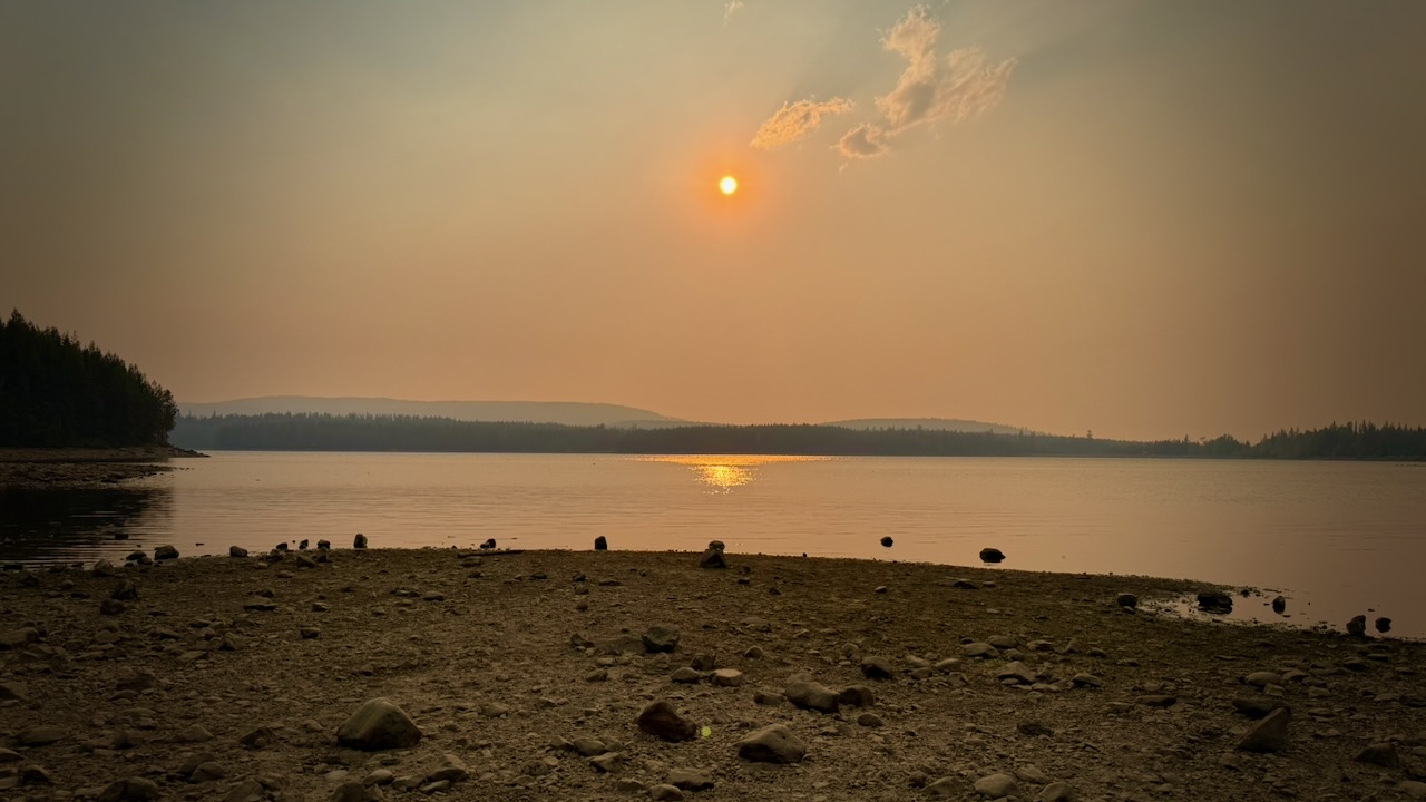
Up high on the trail, this was my brightest fire red sky at night. I was lucky to avoid any worse smokey air.

Columbia and Western Rail Trail

The KVR ends at Midway B.C.

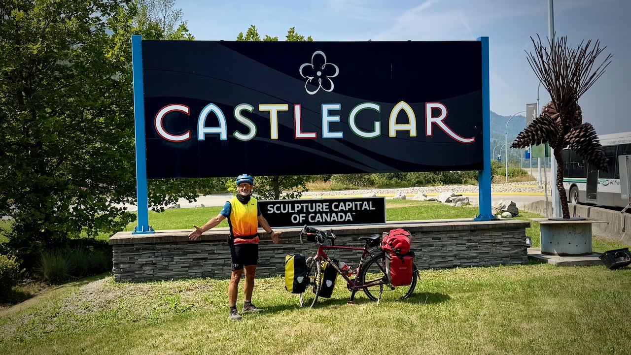
I continued on towards the Columbia and Western Rail Trail. It’s about 162 km connecting Midway, Grand Forks, Christina Lake, and Castlegar.

Great sections, but not nearly as good as the KVR.

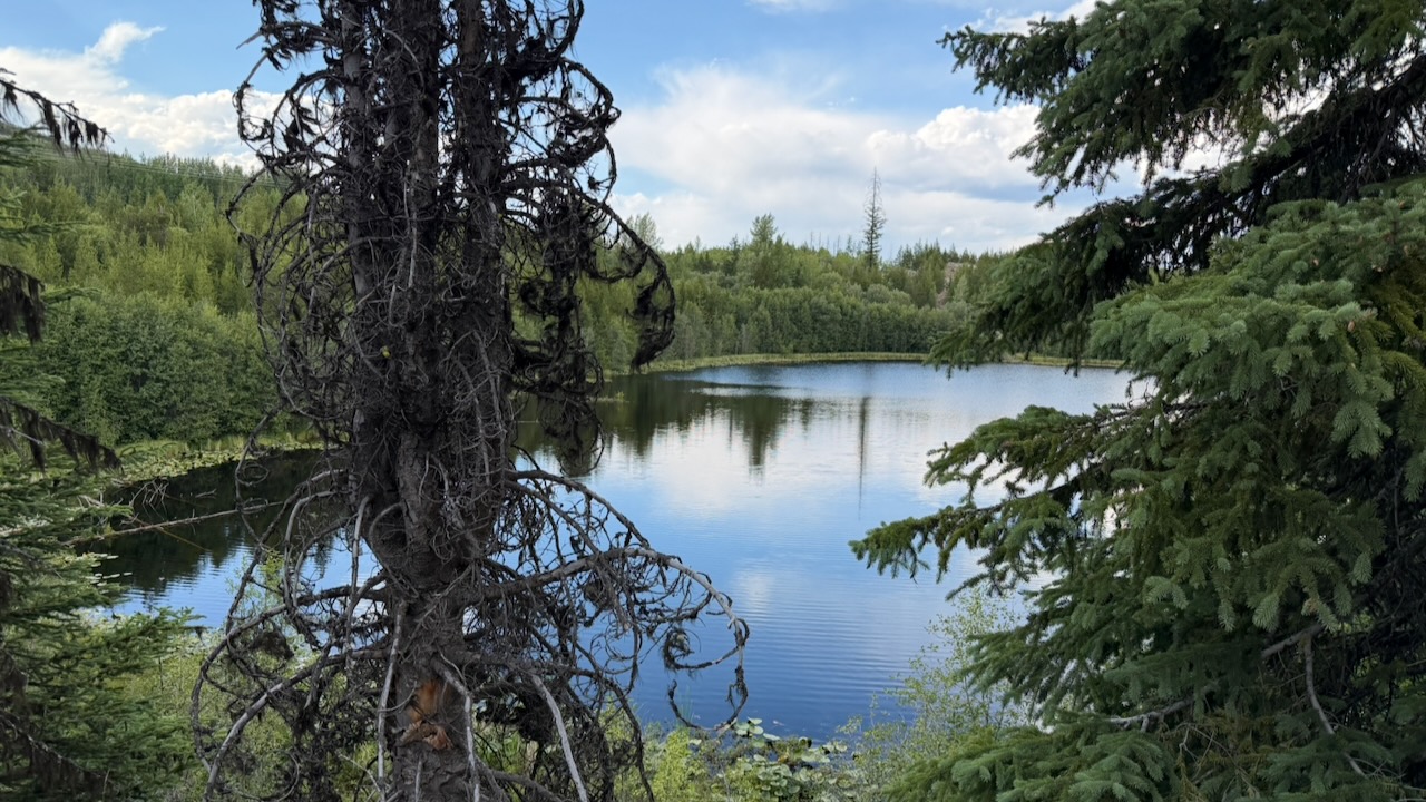
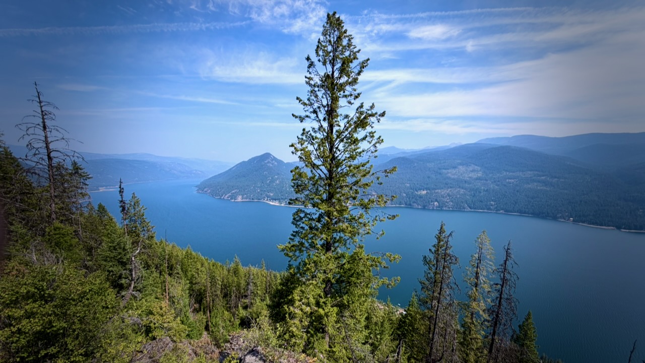
Highlights for me were sweeping views of the Granby Valley, Christina Lake, and Lower Arrow Lake.

And it offers ideal wild camping โ€” though there are not all that many water sources.

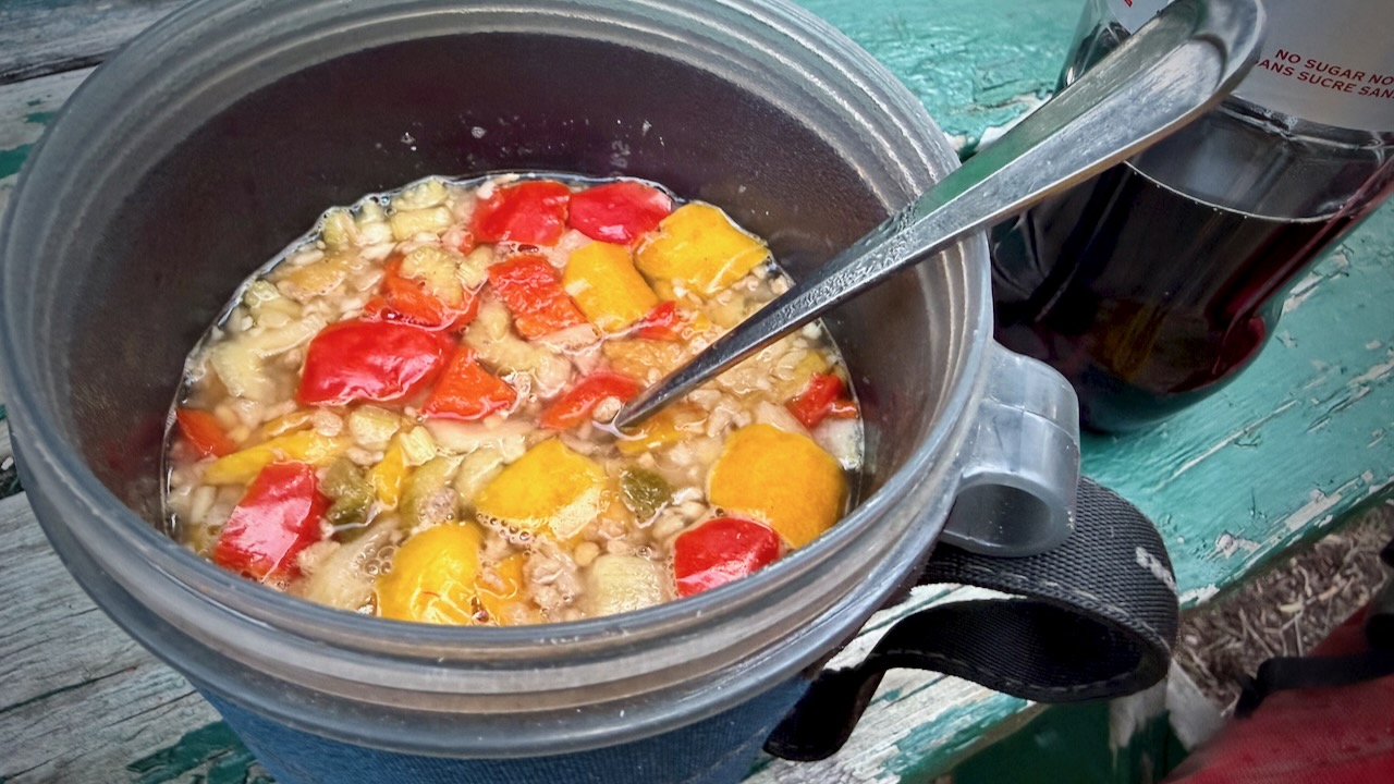
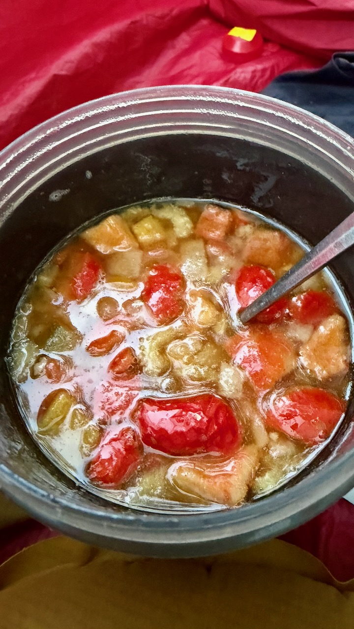
I enjoyed dinner every night, rehydrating meals frozen by my niece. Much tastier than any commercial camping dinners I’ve ever tried.

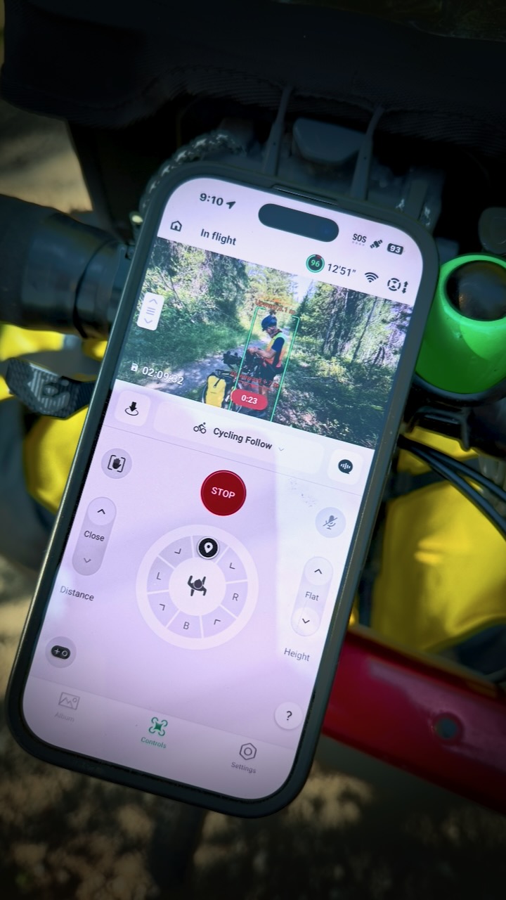
NEW for me is using a toy drone automatically following my bicycle.

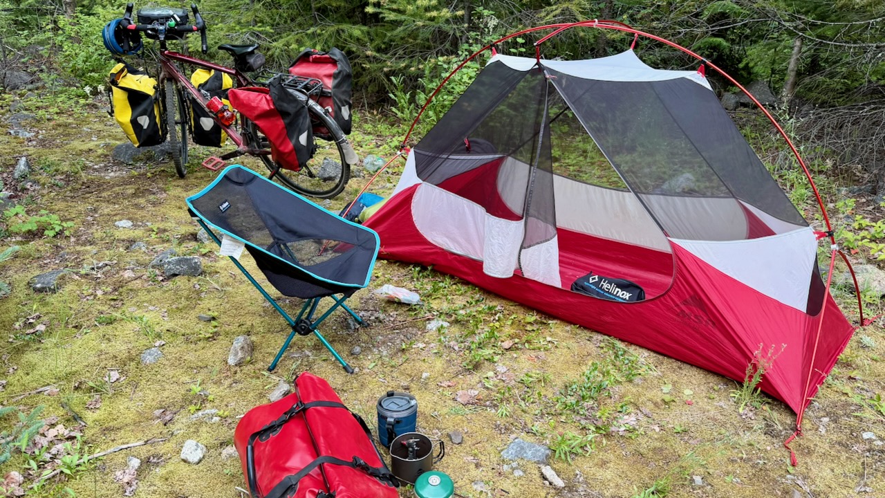
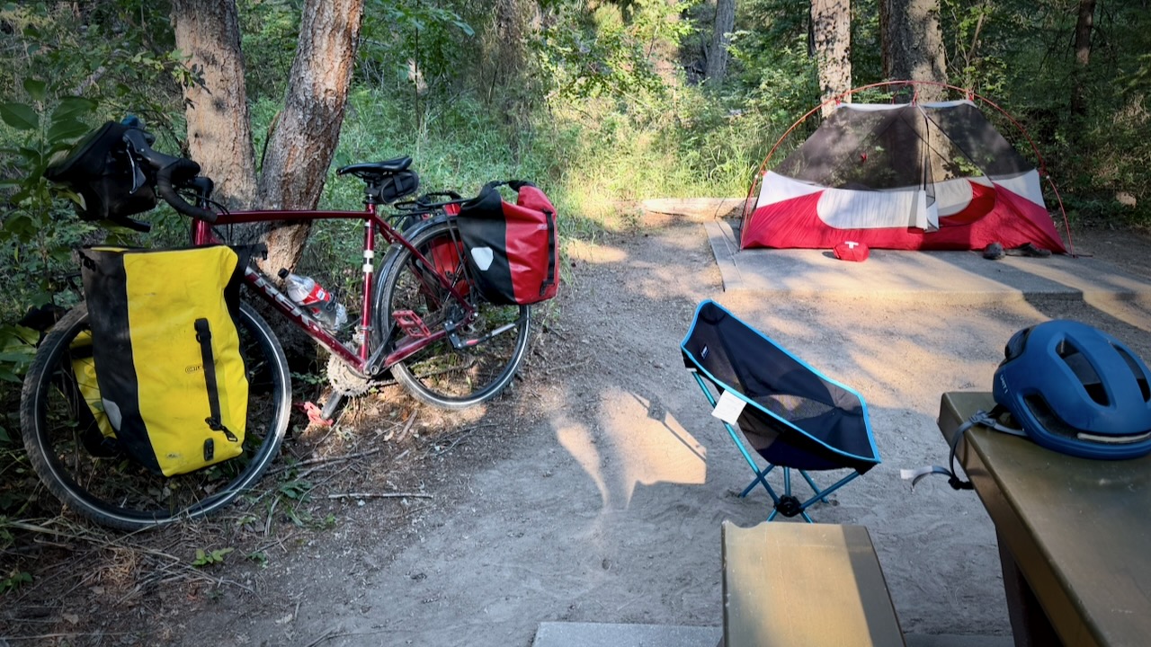
Also new for me while bikepacking, is carrying a portable camping chair.

I love it!

Though rehydrating meals is ideal …

… I eventually had an urge for solid food.

Here I am saying goodbye to the Columbia and Western Rail Trail.

To Nelson & Crawford Bay

As we had a house in Crawford Bay B.C., I was keen to continue on to Nelson and the old homestead. But I was forced on to highways and rural roadways with … HILLS.

Why didn’t someone warn me there were HILLS in British Columbia? ๐Ÿ˜€

After flat rail trails, almost every ascent seems daunting. And HOT.

I love Nelson and checked into the hostel for a night. Happily, my friend Tam happened to be in Nelson at the same time and we were able to catch up for coffee.

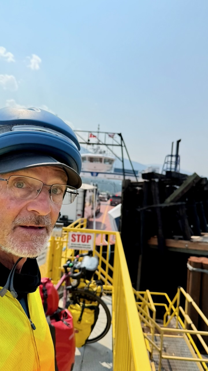
Rather than cycle the dangerous tourist highway out of Nelson, I put my bike on the local bus to the Kootenay Lake ferry.

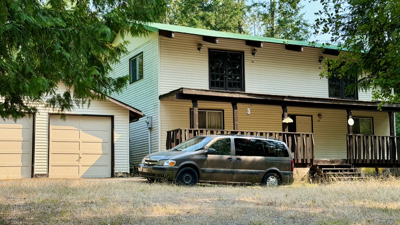
In 2020 the house my Dad built was in rough shape. Six years later it looks even worse.

I’m wondering when anyone actually last lived here.

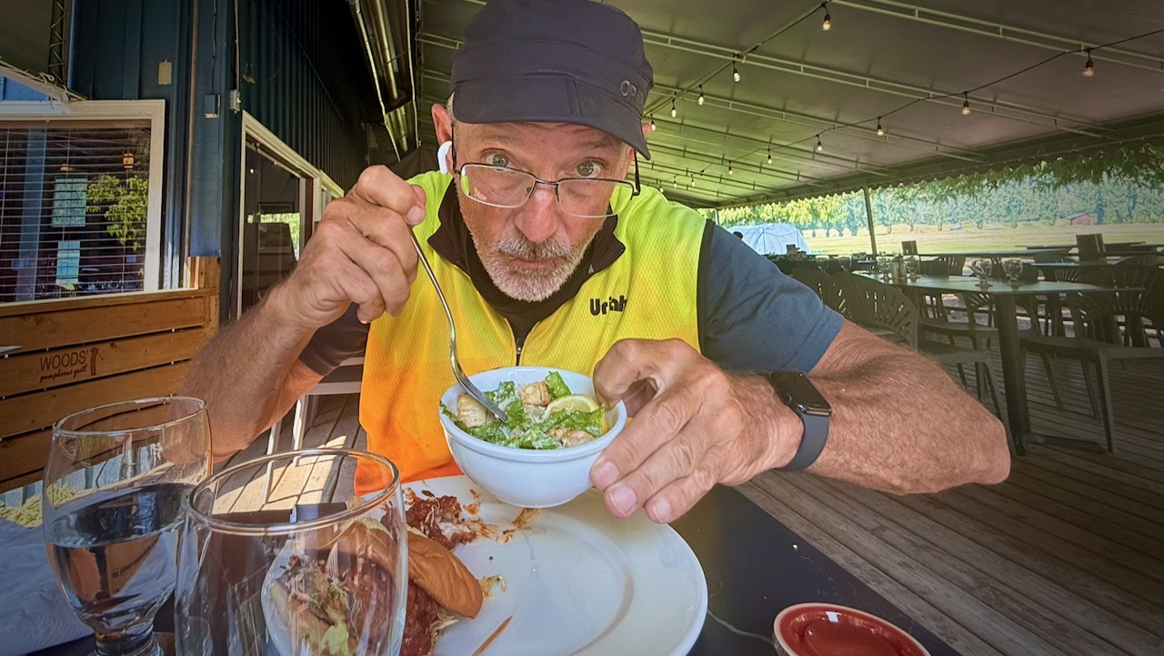
Like 2020, I stopped for lunch at the fantastic Kokanee Springs Golf Course.

Busy, Dangerous 2-lane Highways

The highway from Crawford Bay to Creston is a favourite of mine. To drive.

On the bicycle it’s dangerous with very narrow shoulders in places.

I stopped at the Gray Creek General Store to inquire whether or not cyclists were taking the Trans Canada Trail up and over the Gray Creek Pass โ€” probably the most challenging section across the nation.

Not many, I was told.

  • Average of nearly 9% grade for 17 km from Kootenay Lake up to Gray Creek Pass
  • Average of nearly 6% grade for 12 km from Gray Creek Pass down to Parkerโ€™s Creek
  • No service
  • Rough surface
  • Not recommended

As I did in 2020, I chickened out and cycled the highway to Creston.

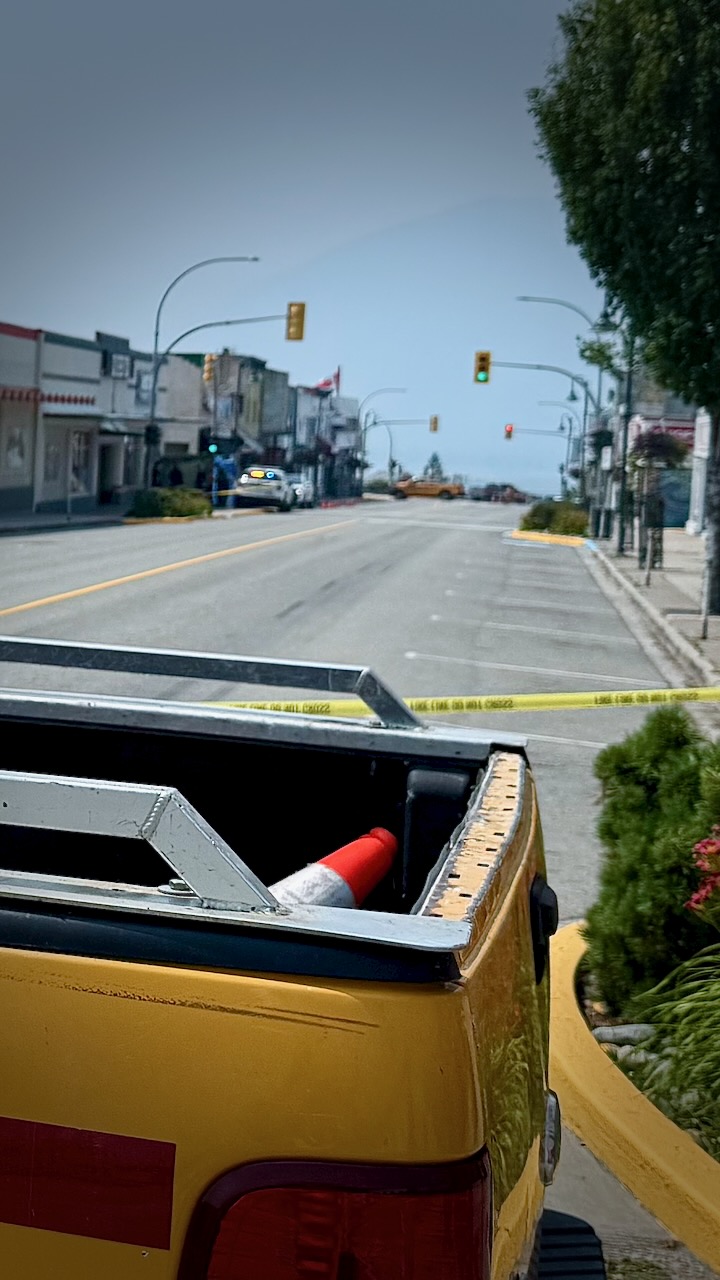
My first flat tire EVER on this bike. After trying to add air with my (crappy) hand pump, I saw there was a bike shop only 4km distant. Rolling my bike there, the street was shut down by police.

This was a crime scene. Stabbing, I was told. Possibly murder.

The bike shop owner happened to drive past, informing me it was still possible to enter the shop from the back. With no customers coming in the front door, they fixed the flat immediately and at low cost. Whew.

Creston to Cranbrook

Mostly highway. No photos.

Crawford Bay to Cranbook was the least interesting section.

Adventure Ends in Fernie

I got coffee in Cranbrook. And then tried to find the trail out of town.

It’s confusing. And I never found even one good navigation app for the Trans Canada Trail.

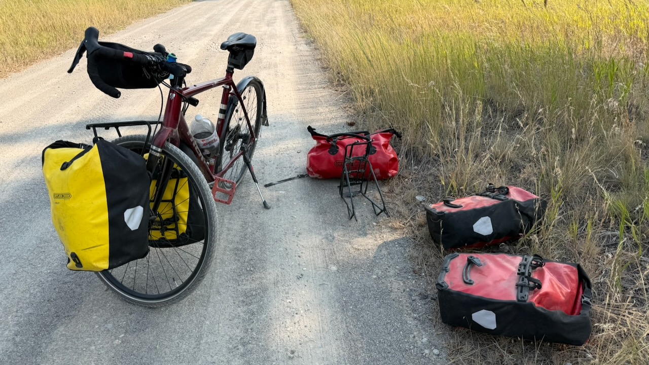
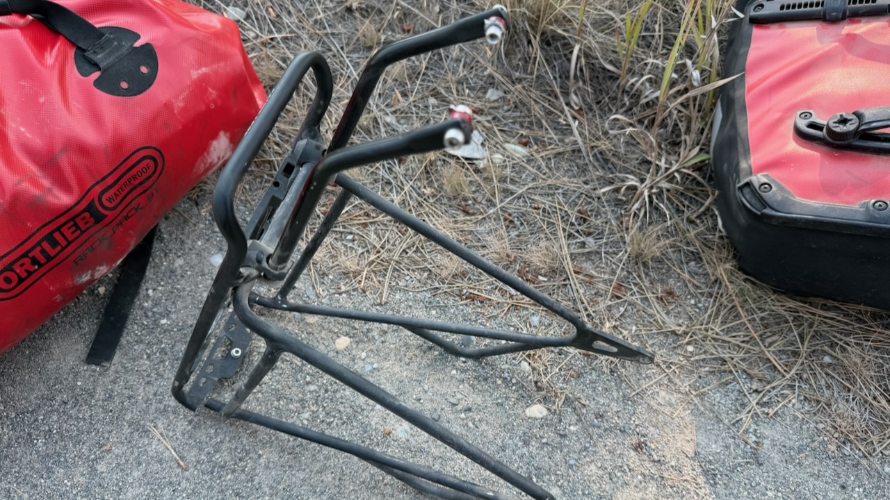
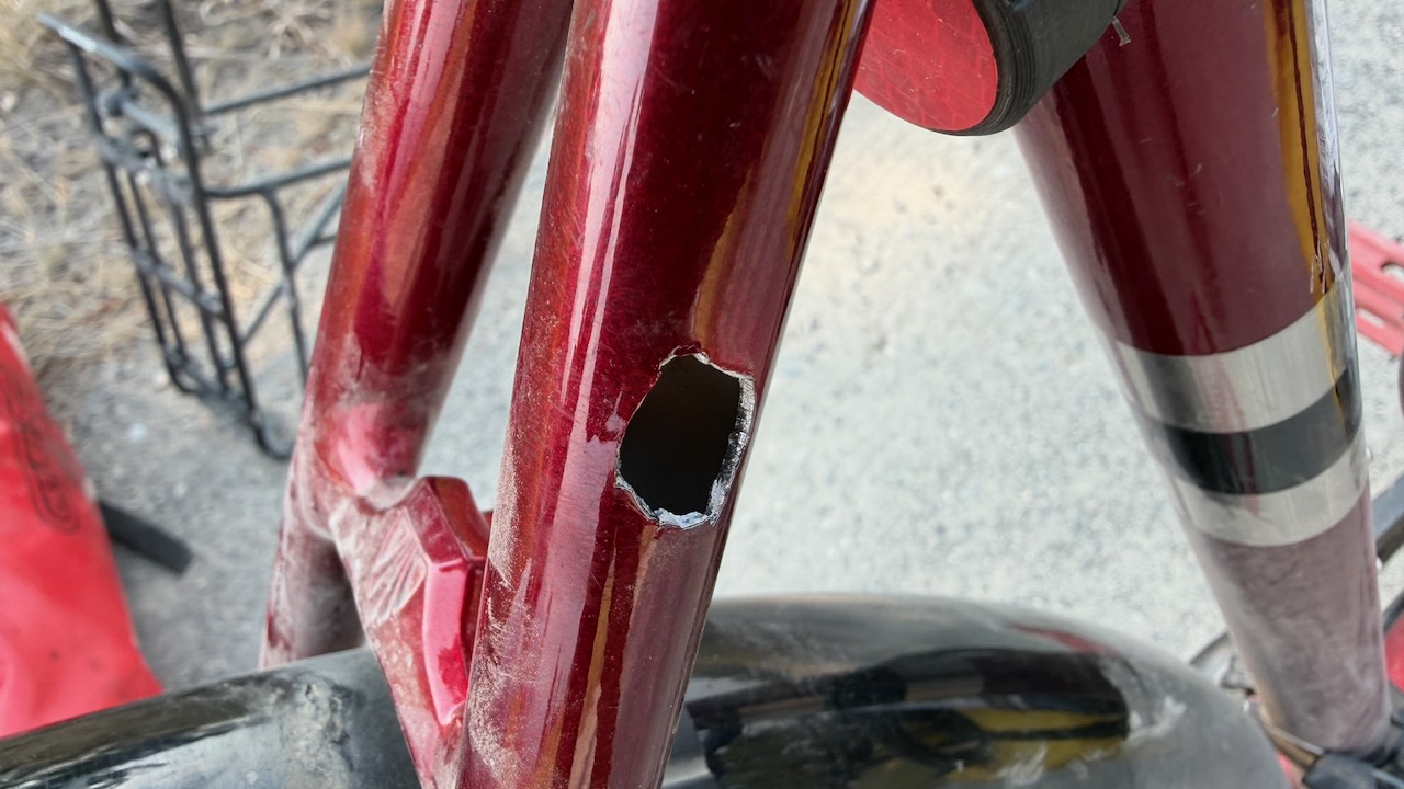
The end of my trip on day 11.   My rear rack broke off completely going over one of those bumpy cattle guards a few hours after leaving Cranbrook.

GMoney, a ski shop owner in Fernie โ€” whoโ€™s a punk musician in his spare time โ€” picked me up while I was hitchhiking. 

A big time hiker and cyclist, GMoney hosted me at his house and gave me advice on where I might get the bike fixed. 

Turns out none of the 4 bike shops in Fernie had the kind of tools to repair the rear rack.

I stayed at the excellent Angry Elk Hostel, as well, for a couple of nights โ€” enjoying Fernie for the 1st time โ€” until my brother & his wife came to my rescue.

(Same day GMoney collected me, he and a girlfriend were 2 yards away from an angry Black Bear with cubs.  Had to bear spray to stop her.  Thatโ€™s the closest bear encounter of anyone Iโ€™ve ever known. )

In the end, my cycling distance over the 11 days was around 750 km.

I Missed Fernie to Calgary

I broke down at the end of the worst highway sections, and the beginning of one of the best trail & gravel road parts of the entire Trans Canada Trail.

Here’s how Fernie to Calgary went for me in 2020.

I might have to go back to Fernie and finish the job.


Once finished, I experimented with different navigation apps. NONE are good.

Best of the worst …

GEAR for Bikepacking British Columbia 2026

My gear for a couple of weeks cycling the Trans Canada Great Trail out of Kelowna, British Columbia.

I’ll be day hiking and camping en route.

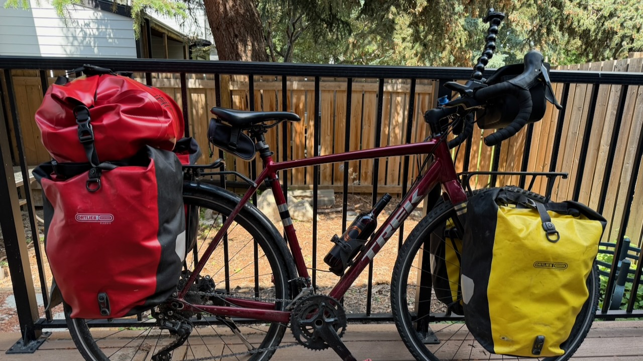
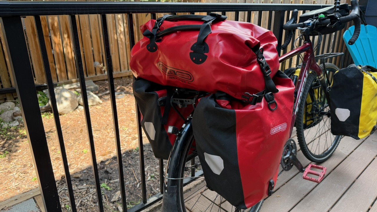
My ride is a Trek Checkpoint ARL 4. I’ve done thousands of KMs on it already.

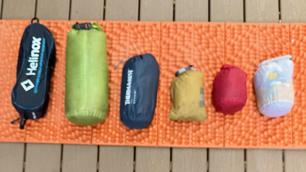
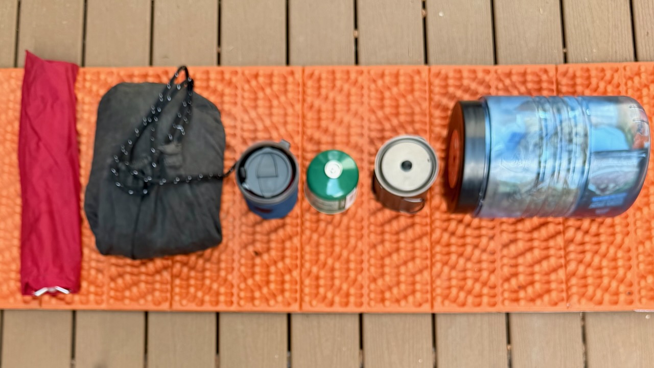
Front Pannier 1 – Camping

  • Hubba NX 1 Tent
  • NeoAir XLite NXT Max Sleeping Pad
  • NeoAir UberLite Sleeping Pad (pillow)
  • Revelation Quilt
  • FLEXTAILGEAR Portable Air Pump
  • Inflatables glue & patch kits
  • Helinox Camping Chair
  • Red Nike quick dry t-shirt / pillow case
  • Tent socks

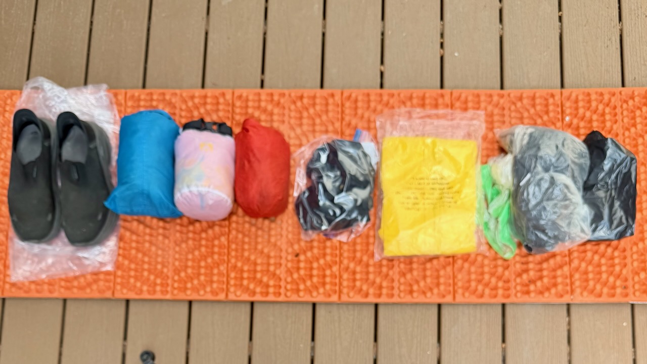
Front Pannier 2 – Clothing

  • New Balance 1260s 4E 9.5 w additional insoles
  • Crocs Camp Shoes ??
  • Janji Transit Tech Pant
  • Lifaloft Insulator hooded Jacket with stuff sack
  • Mountain Hardware Jacket & stuff sack
  • Baleef Running shorts x 3
  • City Shorts Janji
  • Black summer Buff x 2
  • Radar Pocket Cap
  • Long Brim cap
  • Wool blend t-shirts x 3
  • Best Hike t-shirt ??
  • Danish Endurance Socks x 2
  • Cycling Shorts
  • Cycling Vest
  • Cycling Beanie Cap
  • Cycling Helmet
  • Frogg Toggs Rain Pants
  • Frogg Toggs Rain Jacket
  • Towel ??

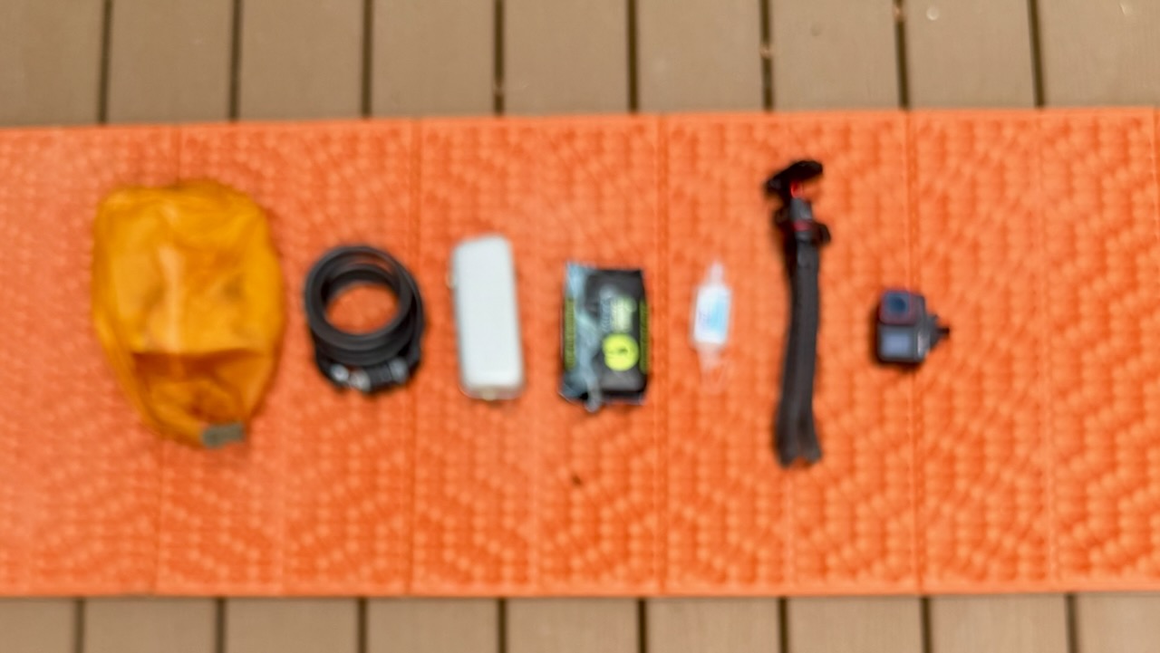
Rear Pannier 1 – Electronics

I have 3 cameras. iPhone 17. Action Camera. And a Drone.

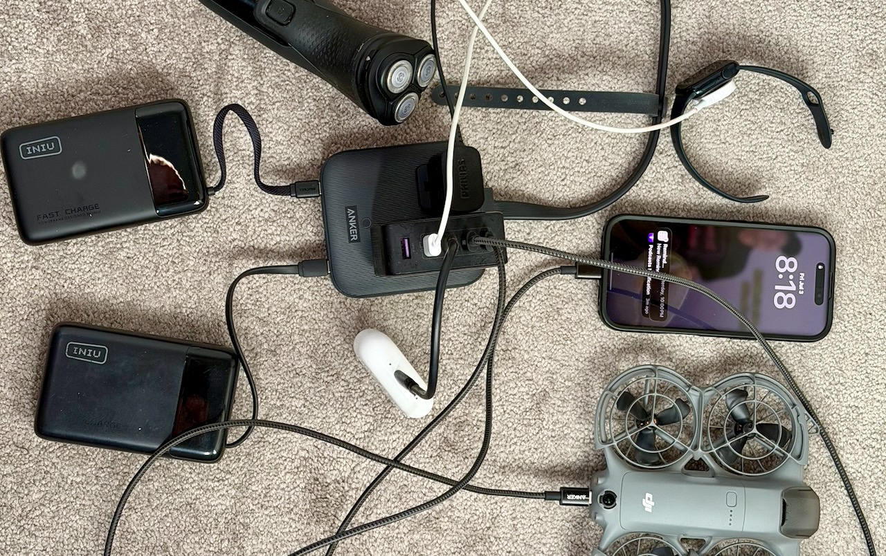
HIGH priority for me is ensuring I can keep ALL the batteries charged. Here’s how I could recharge with just one electrical plug. In a library, for example.

  • Matein day pack
  • Anker Wall Plug & Charging Station
  • Neo 2 Drone & Case
  • Action Camera
  • Jaws GoPro Clamp Handlebar Mount
  • Cloth Shopping Bag
  • iPhone 17 Pro Max and cable (camera)
  • Flexible Tripod
  • iPhone 16 Pro and cable (phone) for Navigation
  • QuadLock iPhone 16 Pro MAG, Screen Protector
  • EarPods & cable
  • Extra EarPod for sleep
  • Apple Watch & cable
  • INIU 20000mAh battery x 2
  • AirTag in Hip Pack
  • AirTag in Laptop Bag
  • Air Tag in Bike
  • Razor and cable
  • M5 Macbook Air Laptop
  • External Hard Drive for Time Machine
  • Long Anker cables USB-C x 2
  • Laptop Dongle
  • Nitecore Headlamp & Cable
  • Unit 1 Batteries for Bicycle Lights
  • Electric Shaver & Cord
  • Red Electronics Accessories Bag
  • AllTrails Pro app
  • Gaia GPS Pro app
  • Trailforks Pro app

Rear Pannier 2 – Everything Else

  • Duffle (for airline / bus /car gear transport)
  • Waterproof Ditty stuff sack (green)
  • Denture tablets
  • Fingernail clippers
  • Asperin
  • Tums
  • Vitamin Gummies
  • Creatine Gummies
  • First aid kit
  • Sun screen?
  • Hand sanitizer x 3
  • Prescriptions
  • Toilet paper
  • Toothbrush & toothpaste
  • Bandaids
  • Soap paper
  • Vaseline
  • Moisturizing Cream
  • Garbage bags
  • Fire Starter
  • Orange Cord
  • Mosquito Head Net
  • Zip ties
  • Orange Flagging Tape
  • Bike Pump
  • Electrical Tape pencil
  • Medical Gloves
  • Bike Tube x 1
  • Bike gear attachment cords x 2
  • Tiny Handlebar Bike attachments
  • Combat Wipes
  • Extra bike light?
  • Duct tape
  • Acquatabs

Top Bag – Food

  • Ortlieb Rackpack 31 Top Bag
  • Tent Poles
  • Bear Vault
  • Ursack
  • FOOD
  • Fuel
  • Water Purification Tablets
  • Pot scrubber
  • PocketRocket Deluxe Stove
  • Titan Kettle
  • Mug
  • Bowl
  • Long Lighter x 2
  • Wash Cloth

Handlebar Bar

  • Ortlieb Ultimate Six Free 5L Handlebar Bag
  • Cameras
  • Snacks
  • Bike Lock
  • Sunglasses
  • Magnetic Knife & Fork
  • Combat Wipes
  • Sametop Clamp Tripod – NO
  • Magnetic Lights & Clip-on Attachment
  • Wristband Rear Mirror

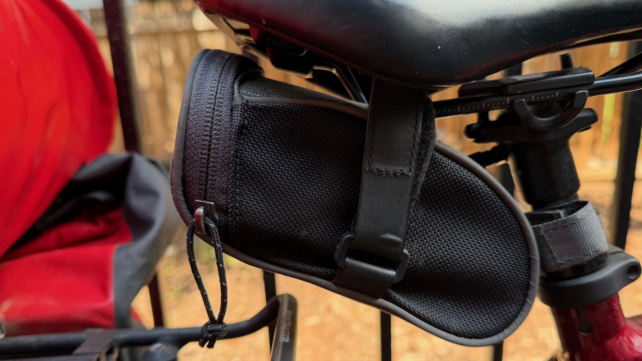
Repair Kit Under Saddle

  • Repair Tool
  • Army Knife
  • Tire Levers x 2
  • Oil
  • Plastic Glove

Hip Pack – Valuables

  • 2 Credit Cards & Bank Card
  • Cash
  • Driver’s licence
  • Wallet
  • Travel insurance
  • Health insurance card 
  • Metal Spoon

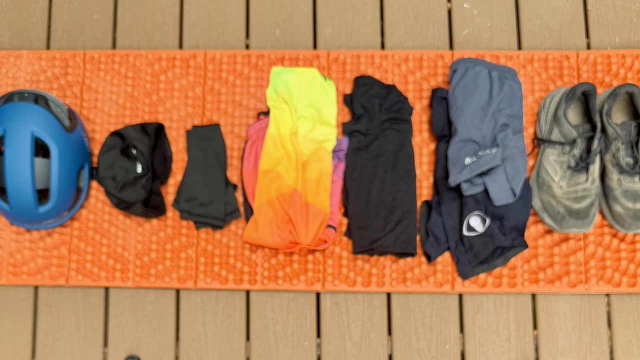
Clothing for Cycling

Varying day-by-day, most of the time I’ll be wearing this kit.

Hydration is CRITICAL. ๐Ÿ˜€

Section Hiking Pacific Crest Trail – Palm Springs to Agua Dulce

Trip report by BestHike editor Rick McCharles

I really enjoyed a couple of weeks alongside thru hikers in a hot, dry desert section of the PCT.

Click PLAY or watch my highlights on YouTube. (6min)

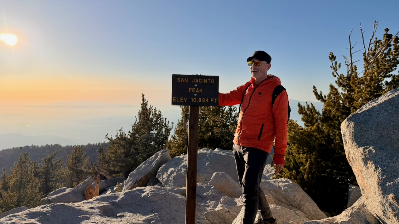
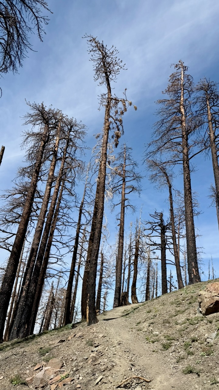
Hot, dry โ€” but not flat. I ended up on the summits of Mt. San Jacinto (10,834 ft) and Mt. Baden-Powell (9,399 ft). Then had to descend.

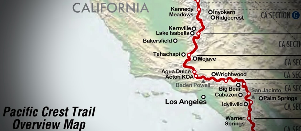
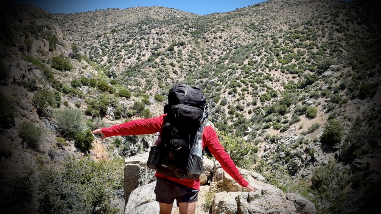
Palm Springs to Agua Dulce is about 245 PCT miles. My section was mostly rocky, sun-baked canyons and scrub.

Many complain about the relentless wind. Personally, I like wind as it cools you off.

I skipped some of those miles taking 3 rides along the way. Of course I added miles hiking in from the Palm Springs Tramway. And ALL hikers add miles when they hike into and out of resupply stops.

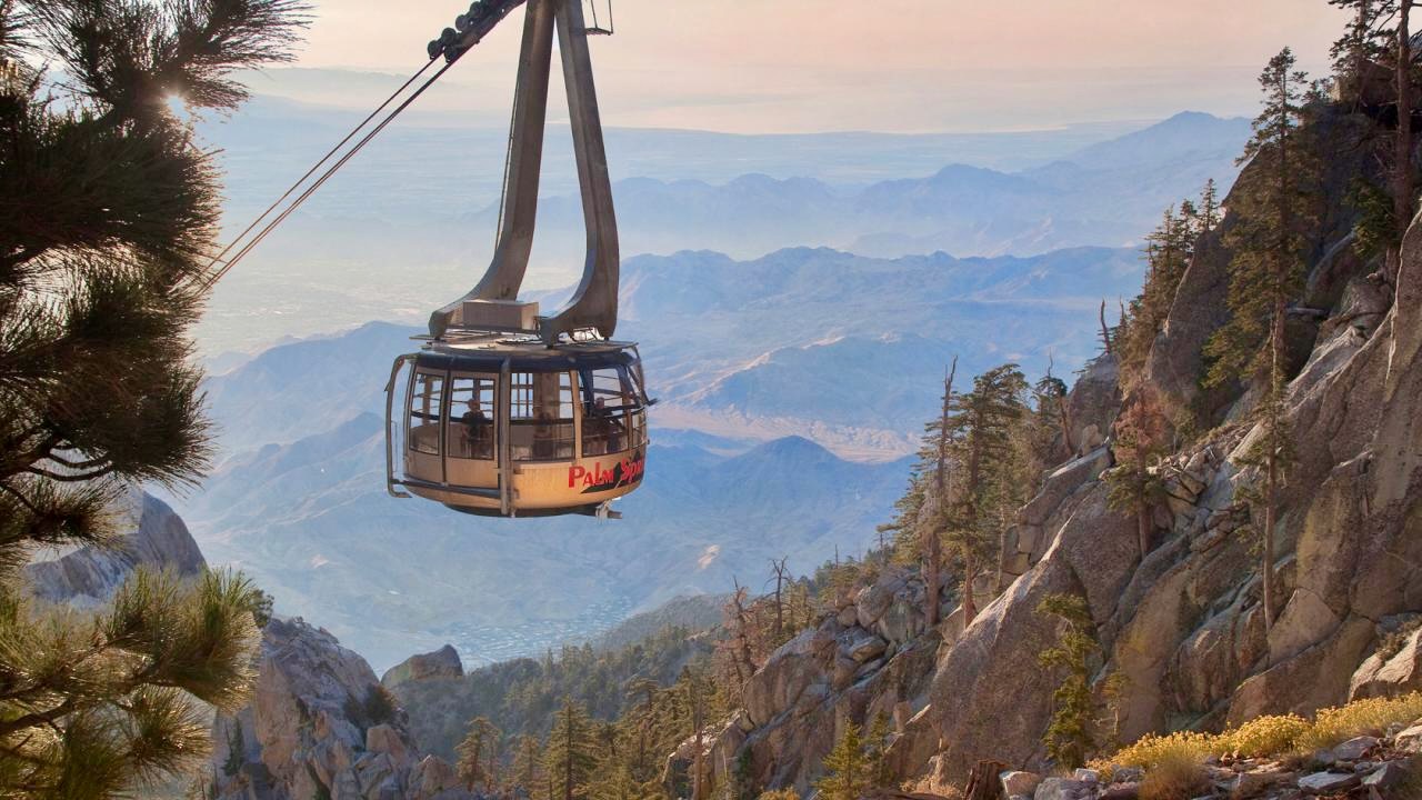
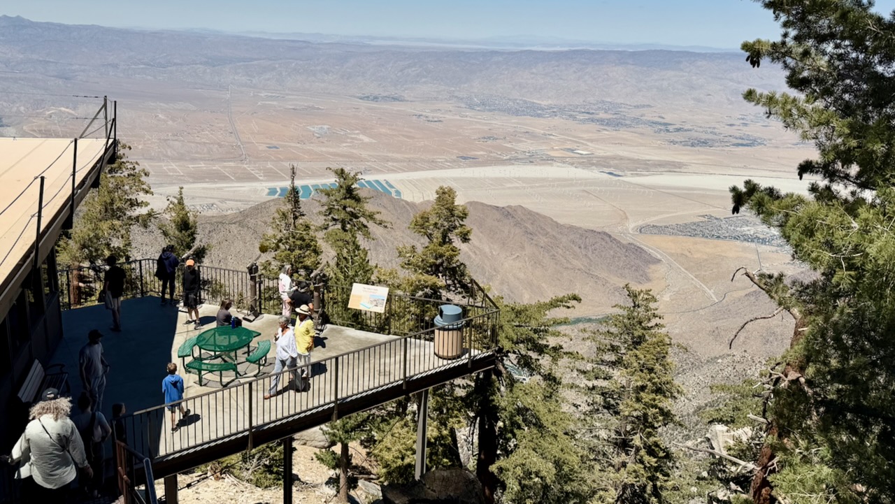
I flew into Palm Springs. Bought camping gas and stopped at a grocery. Then took the bus to the bottom of famed Palm Springs Aerial Tramway.

Turns out there’s no public transit for the last 3 miles. Oops. Happily, a guy on a motorcycle noticed my dilemma, offering a lift to the base. My first Trail Angel.

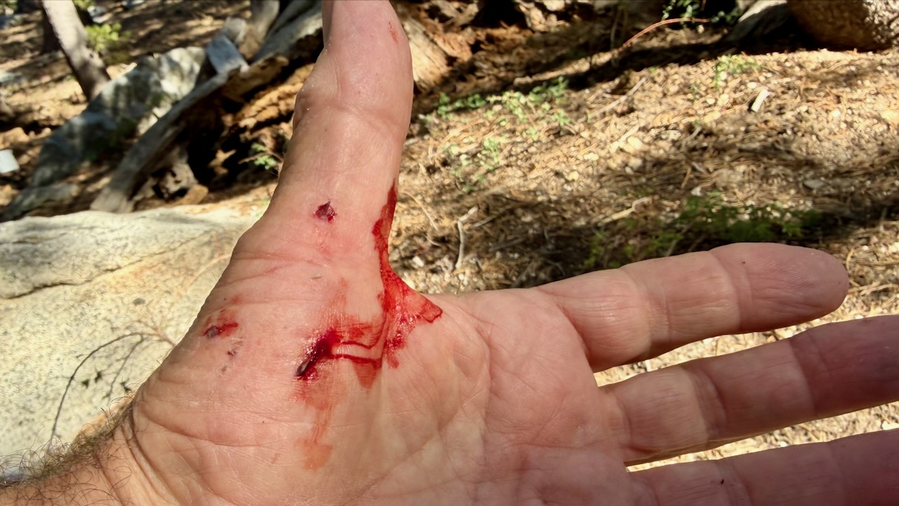
Within an hour, I had my only real injury. Standing up, I forgot I was wearing a heavy pack, and fell backwards over a rock. Getting scratched up. … Dumb mistake.

I enjoyed the short side trip to San Jacinto Peak. It’s over 10,000 feet higher than Palm Springs.

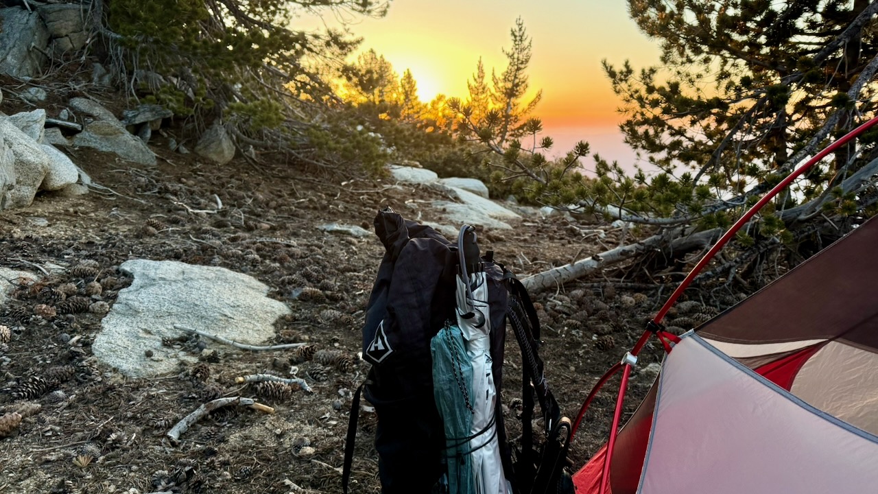
I camped nearby. And was surprisingly chilly in the sleeping bag.

Rather than post a day-by-day account, here are major themes of my 2 weeks on trail.

Priorities

  • Staying Hydrated
  • Foot Care
  • Avoiding Heat Emergencies

Wild Camping

About 5:30pm I’d start looking for a campsite. Ideally near a water source.

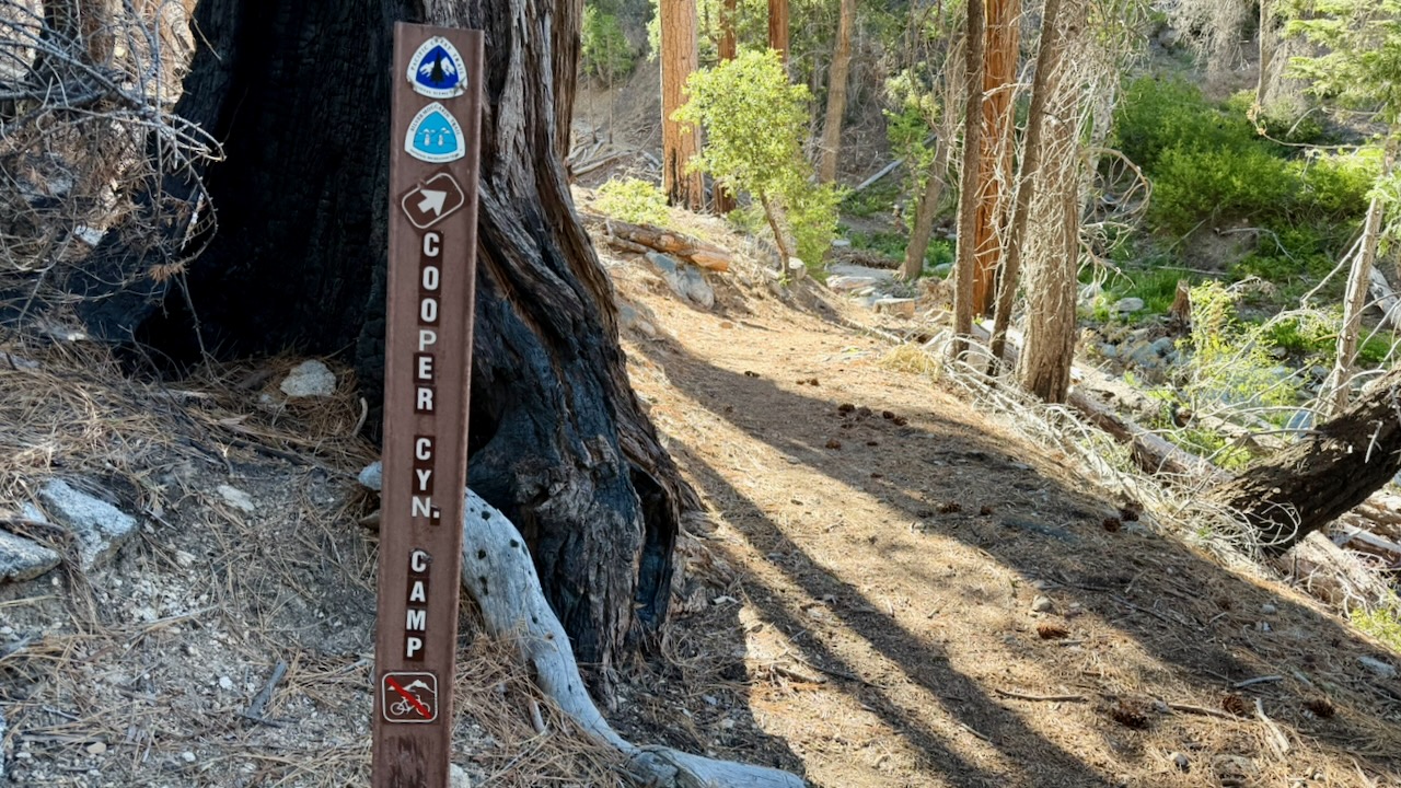
IF there is a Bear Locker, use it. At the excellent Little Jimmy Campground we advised everyone to lock up food and backpacks.

About 2am a bear arrived to check if lockers were closed. Checked every tent. Started dragging a backpack out of a vestibule as it had some food in it. The hiker (now known as Bear Bait) shouted and had a tug-of-war with the beast, eventually winning the battle for his pack.

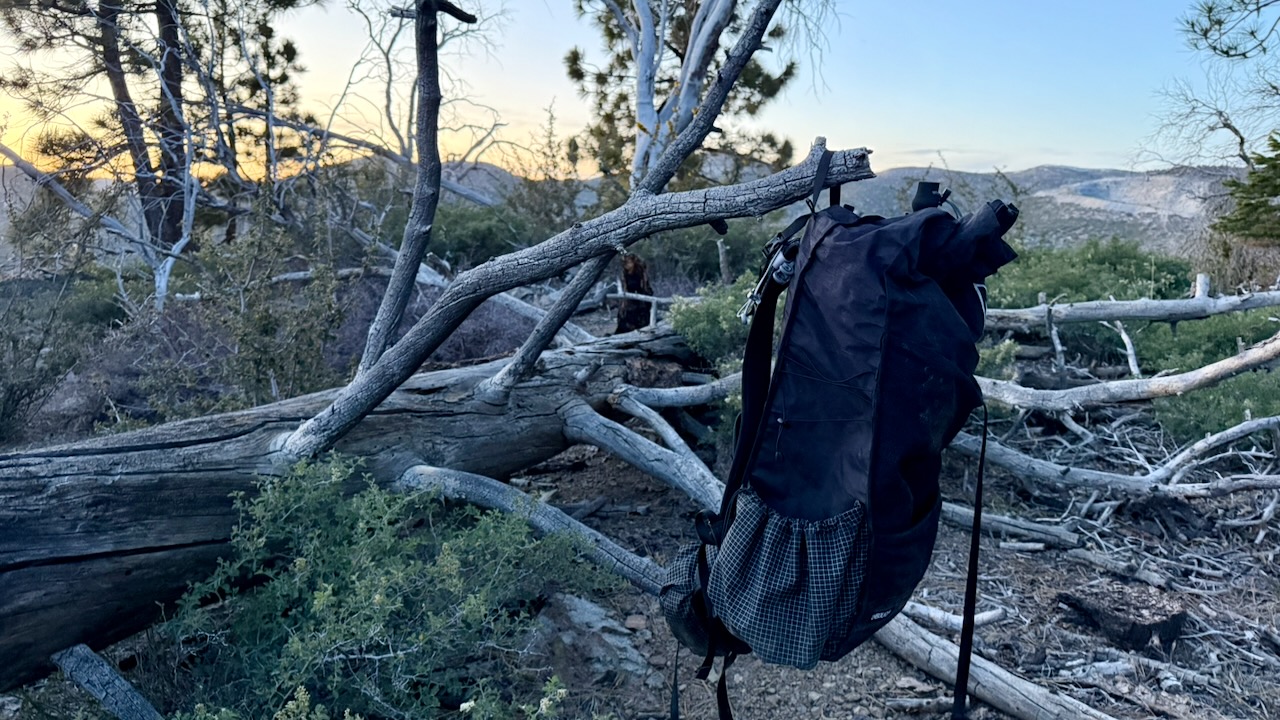
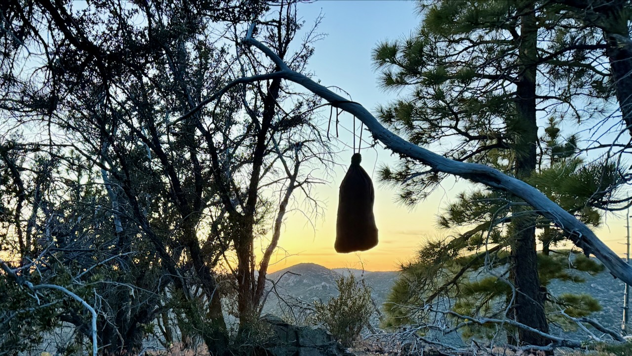
If there is no Bear Locker, hang your backpack away from insects & rodents.

I had my food in an Ursack, and tied it away on a tree.

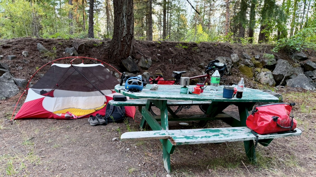
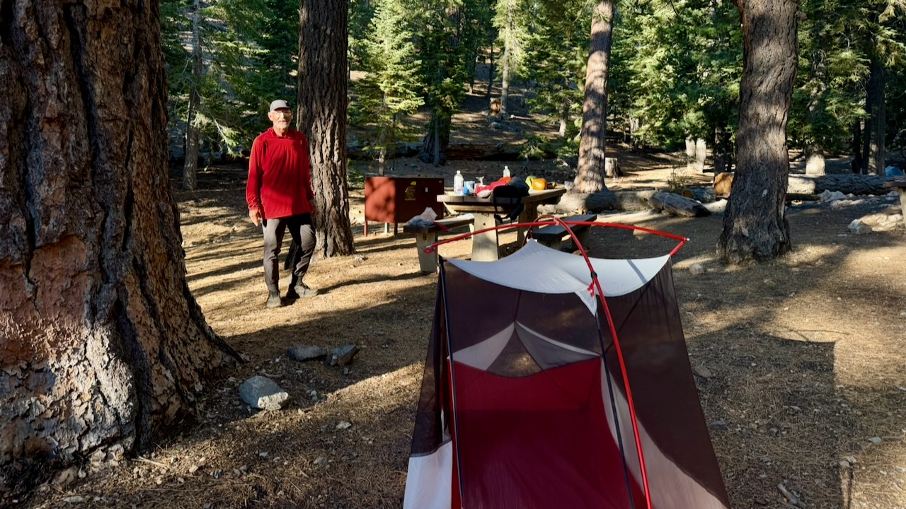
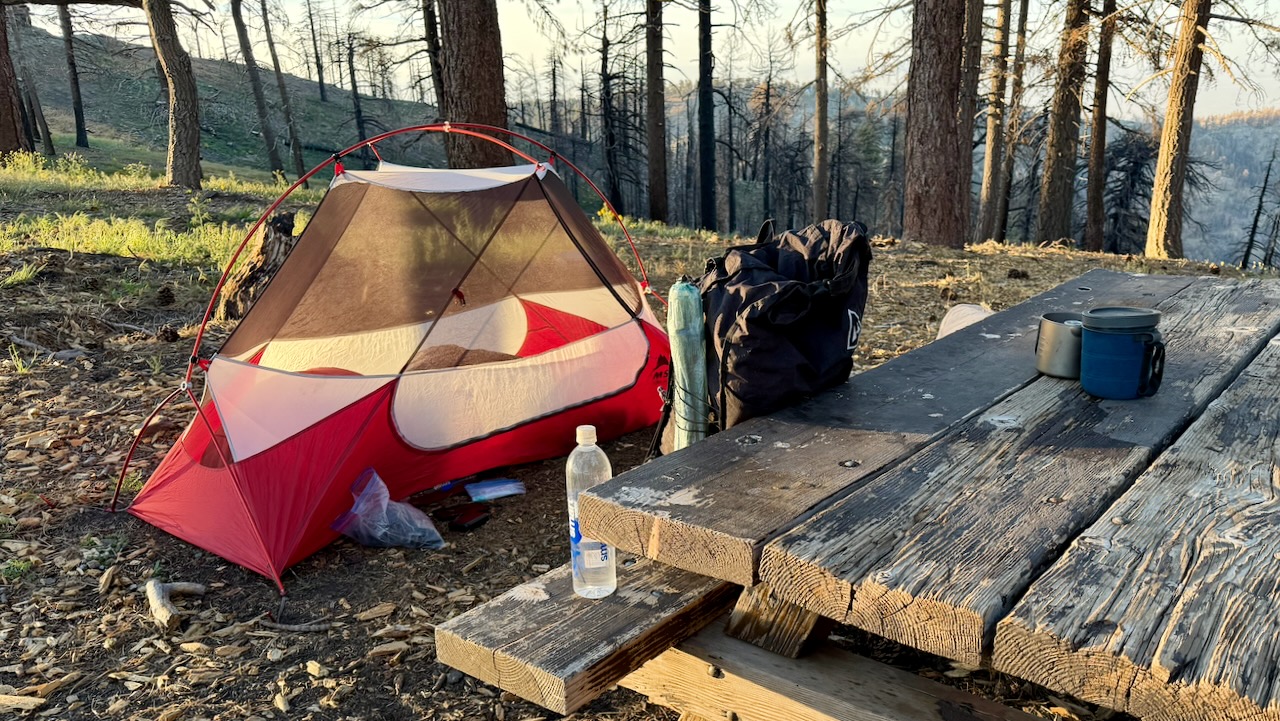
I do love having a picnic table.

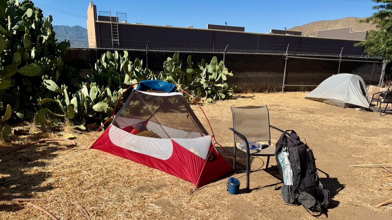
As it turned out, I only put my fly on the tent 2 nights of 17. Why didn’t somebody tell me it never rains in southern California? ๐Ÿ˜€

Foot Care

As I’d suffered blisters on the PCT once in the past, this time I brought 2 pairs of hiking shoes, both about 1.5 sizes larger than what I wear in the city. And both were WIDE sized.

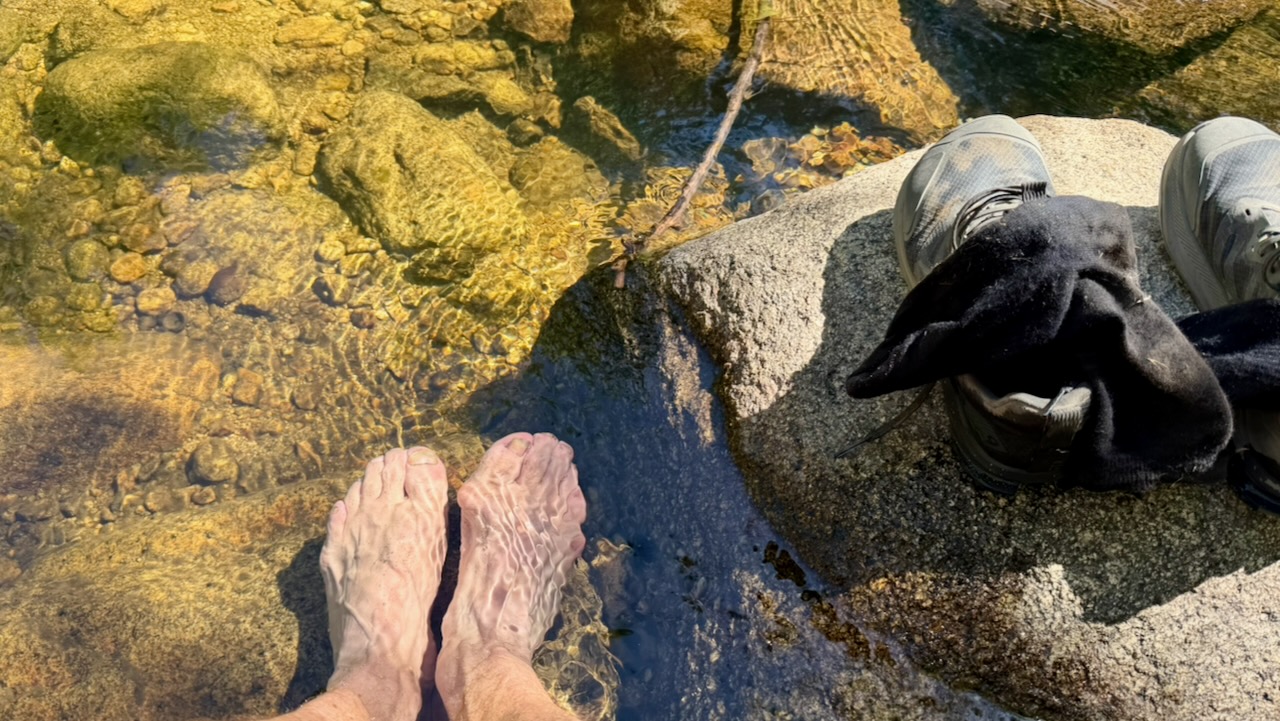
I changed shoes regularly. Changed socks often. Washed and cooled my feet every chance I got. And it worked.

Near the end of my desert hiking, I bought a pair of Injinji toesocks. I think they might have helped, too.

Pack Weight

Only hiking a couple of weeks, my pack was heavier than most. Starting with 10 meals, carrying 3-4 litres of water, it might have been close to 40 pounds.

After a week or so, it was near 32 pounds.

The lighter, the better. I did find my pack too heavy.

On the other hand, I love my pack itself โž™ the Hyperlite Unbound 55ย Backpack.

Here’s my full gear list. You can decide what I should have left behind. ๐Ÿ˜€

Risk of Heat Emergency

Personally, I love the southern California weather. Sunny and dry. Day after day of blue skies.

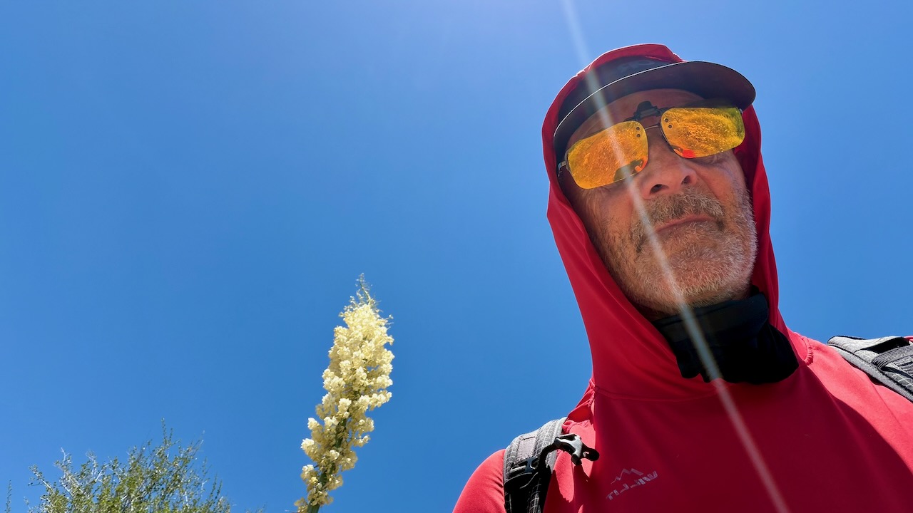
Of course I kept covered up as much as possible. A sun hoodie is essential.

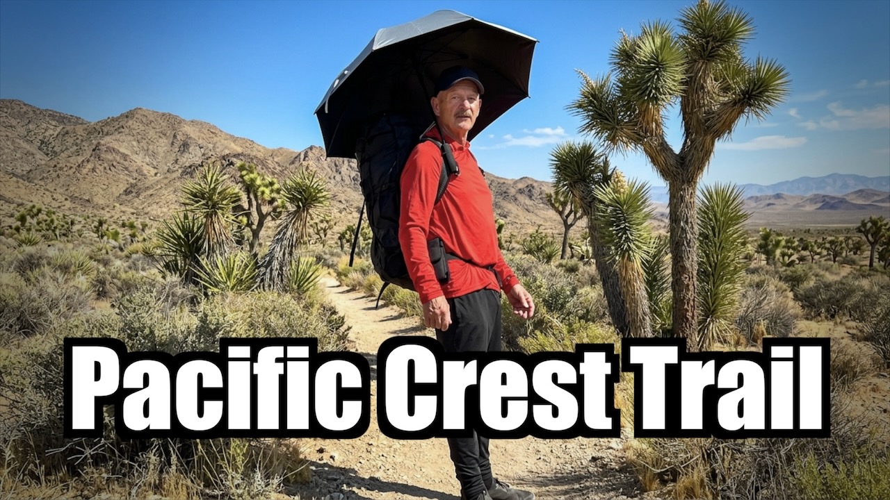
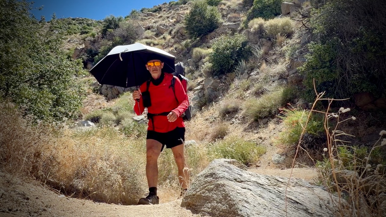
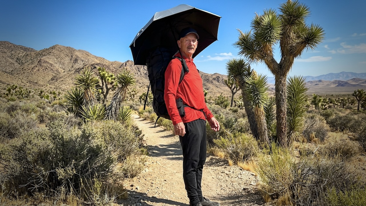
I did use a hiking umbrella for the first time. IF it was very hot. I found it easier to carry and adjust for wind often, rather than tie it on to my pack. They are popular in the desert section with PCT hikers.

Screenshot

One very experienced desert hiker known as Iceaxe suffered from a long day in the sun. Two day hikers helped get him to town where he took a zero to recover. We camped for free behind a pub.

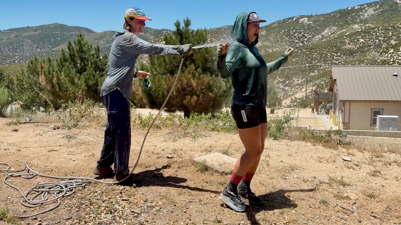
At one of the rare hoses, PCT girls gone wild soaked themselves. Smart.

Water

Much discussion regards water sources in the desert. And how many litres to carry. Often I started with 3-4 litres. The heaviest thing in my pack.

Most hikers filtered almost everything. For me boiling is best. If the water looked great โ€”ย directly from a high mountain spring โ€”ย I did not treat. If worried, I threw in a purification tablet & flavouring. Usually Mio.

I probably should have had an electrolyte replacement like Tailwind.

Trail Magic

Wonderful on the PCT is when you arrive near a roadway and find that some volunteer has left water and/or treats for hikers.

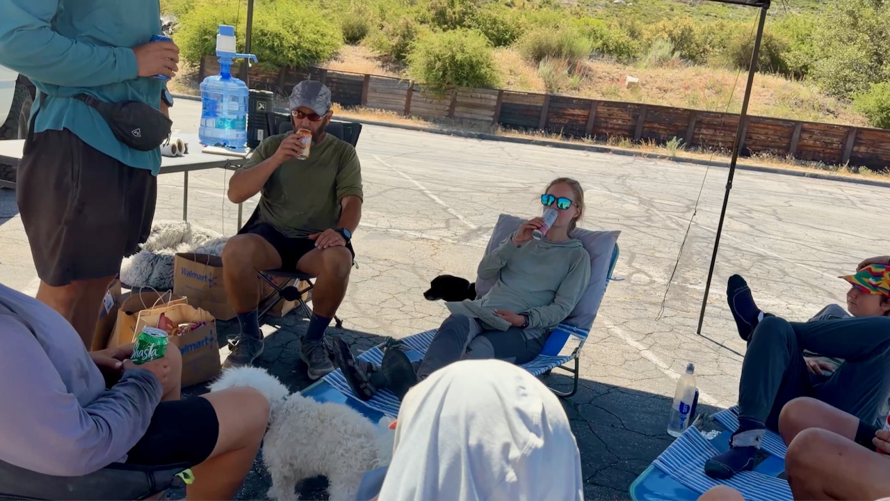
My best Trail Magic was hiking in to find Marco all set up in a parking lot.

Many hikers stayed for hours enjoying his cold drinks, fresh fruit, hot dogs, and burritos. He’d driven 3 hours from home to provide help in a tough spot on the trail. In fact, I’m now planning to join Marco on an adventure next summer.

Thru Hikers

The highlight for me was meeting and chatting with people crazy enough to want to hike continually for months. Here are 2 legends known as Canadian Bacon. They’d finish the entire PCT in 2026, their last section over a number of years.

Enjoying Mount San Jacinto Hikerโ€™s Haven

The guy I met most likely to finish the entire PCT in one year was Roman from Switzerland. He hadn’t acquired a trail name, as yet. Here he is after one month, looking like he just got off the plane. With a budget of $10,000 and no injuries, so far, Roman’s cruising to Canada.

Cheating

From Palm Springs to Agua Dulce, 3 times I skipped miles, taking motor vehicles. Only the purists โ€” like Roman โ€” do every single mile. It’s often logistically smart to bypass difficult sections.

For example, I shared a Lyft from Whitewater to Big Bear to avoid a huge, hot climb.

OUT of Big Bear, however, it’s a huge hot climb of thousands of feet to the top of Mount Baden-Powell.

Food & Resupply

Like most others, I indulged in high calorie food every chance I got.

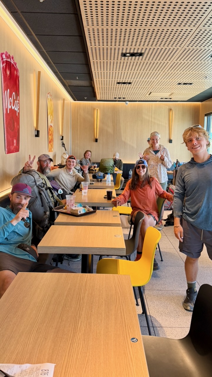
All these hikers gorging at McDonalds swear they never enter the place in their real lives.

On the trail, I carried a stove and made up meals that had been flash frozen by my niece Stacey. Delicious.

Forest Fire

Happily, my 2 weeks were unaffected by fires in 2026. We saw smoke behind us one day. And hiked sections that had been burnt in recent decades.

Road Walking

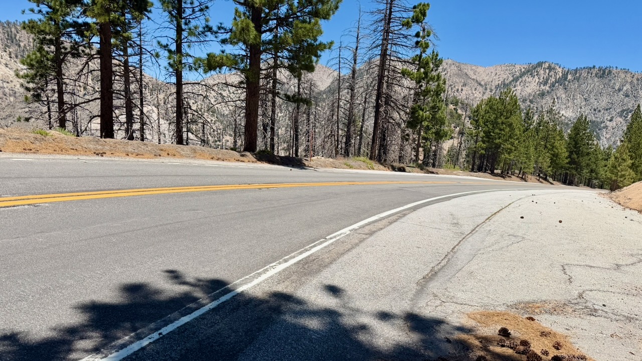
One mandatory detour had us road walking. Surprisingly, I found it a refreshing change.

Navigation

Almost everyone uses the expensive FarOut PCT app. It works offline and has some up-to-date comments on waypoints that are super valuable.

On the other hand, the interface is ugly and not detailed enough. I often switched to the free Maps.me app offline. Every hiker gets lost, sooner or later.

There is signage. But it’s not always clear which way to go when you reach an intersection.

Ticks and Snakes

I found one tick on my leg. Removed it before a bite. And saw one tick on a leaf.

It’s an issue, for sure, in southern California. I carried tweezers specifically for tick removal, if necessary.

Check this post โž™ PCT First Aid.

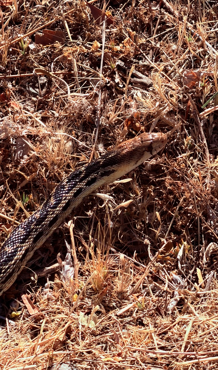
I saw 3 snakes over two weeks. No Rattlers. The only one of the 3 that stood still for a photo was this friendly Gopher Snake.

It’s quite common to find Rattle Snakes close to the trail.

Mosquitoes and Biting Flies

Surprisingly, I suffered many campsites with annoying insects. This despite the weather being hot and dry.

Keep your tent closed or you may have to hunt down mosquitoes before going to sleep.

Getting off the PCT

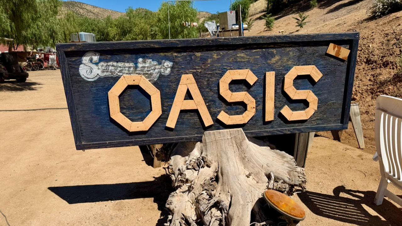
I finished my 2 weeks at Farmer John’s excellent Serenity’s Oasis in Agua Dulce.

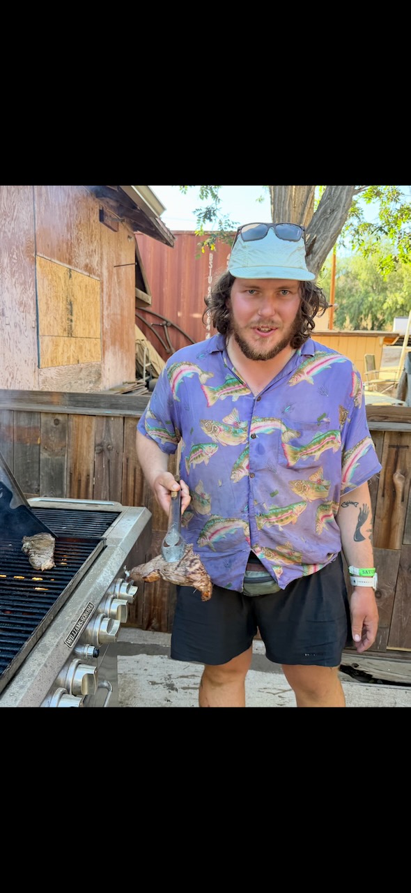
A professional chef grilled New York steak on the barbecues provided.

Most hikers needing to leave the trail on my section try to find a bus heading west to Los Angeles.

I convinced friends to drive 5 hours and pick me up. Calling it a desert rescue. ๐Ÿ˜€

Great fun. I certainly will try to hike more sections of the PCT in future.

Hiking Vegas in the SUMMER ??

Trip report by BestHike editor Rick McCharles

Only mad dogs and โ€ฆ hikers go out in the midday sun?  ๐Ÿ˜€ 

Rick McCharles hiking Nevada

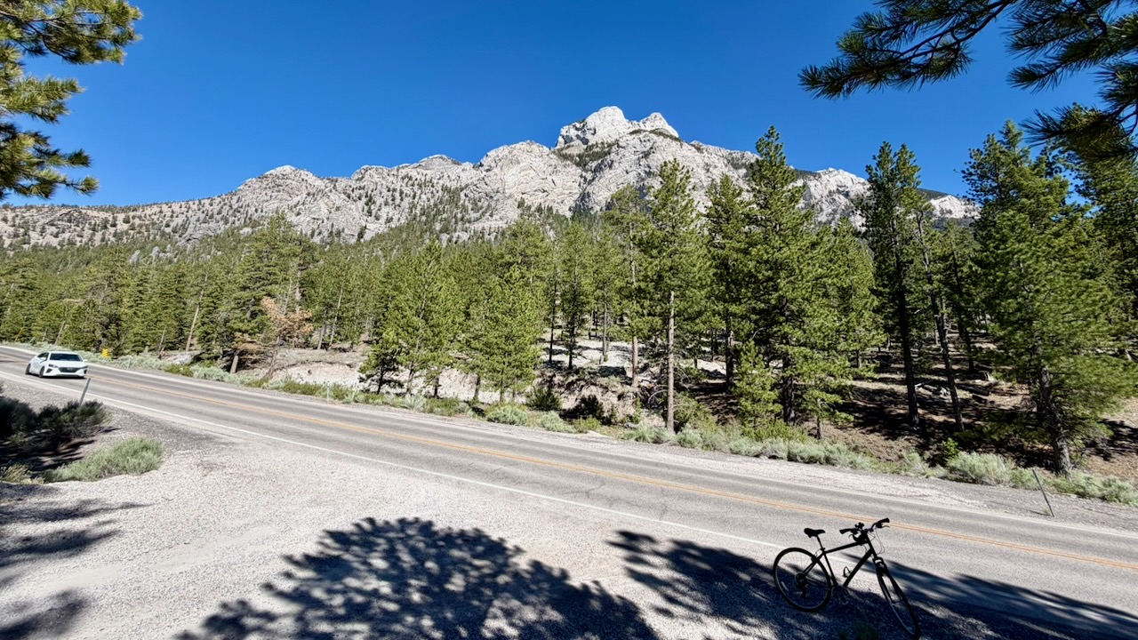
Surprisingly, when Las Vegas is sweltering over 100 Fahrenheit, an hour away you can hike Mount Charleston (11,916 feet or 3,632 m), typically 20ยฐF to 25ยฐF cooler than the city.

Click PLAY or get a glimpse on YouTube.  Late June 2026, I tented 4 nights. This video is a compilation of several day hikes.  


VERY sunny. Long days. But I was never too hot.

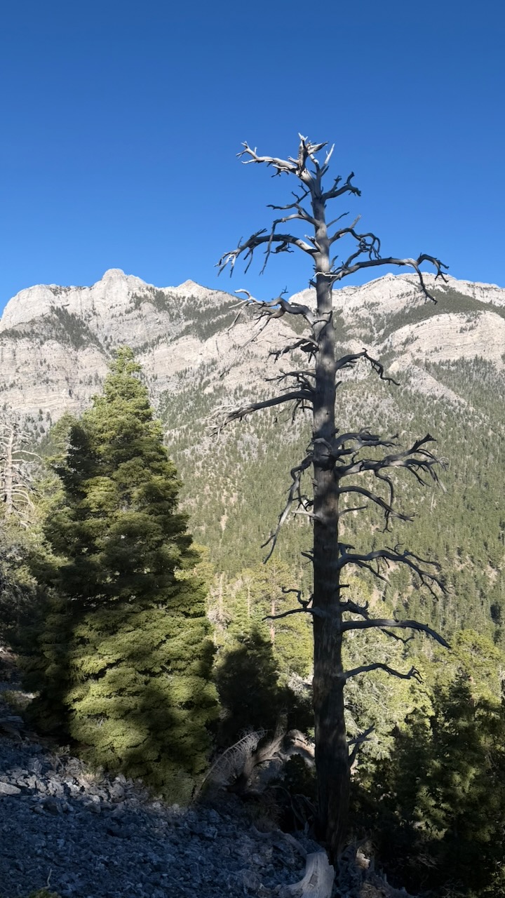
It is gorgeous.

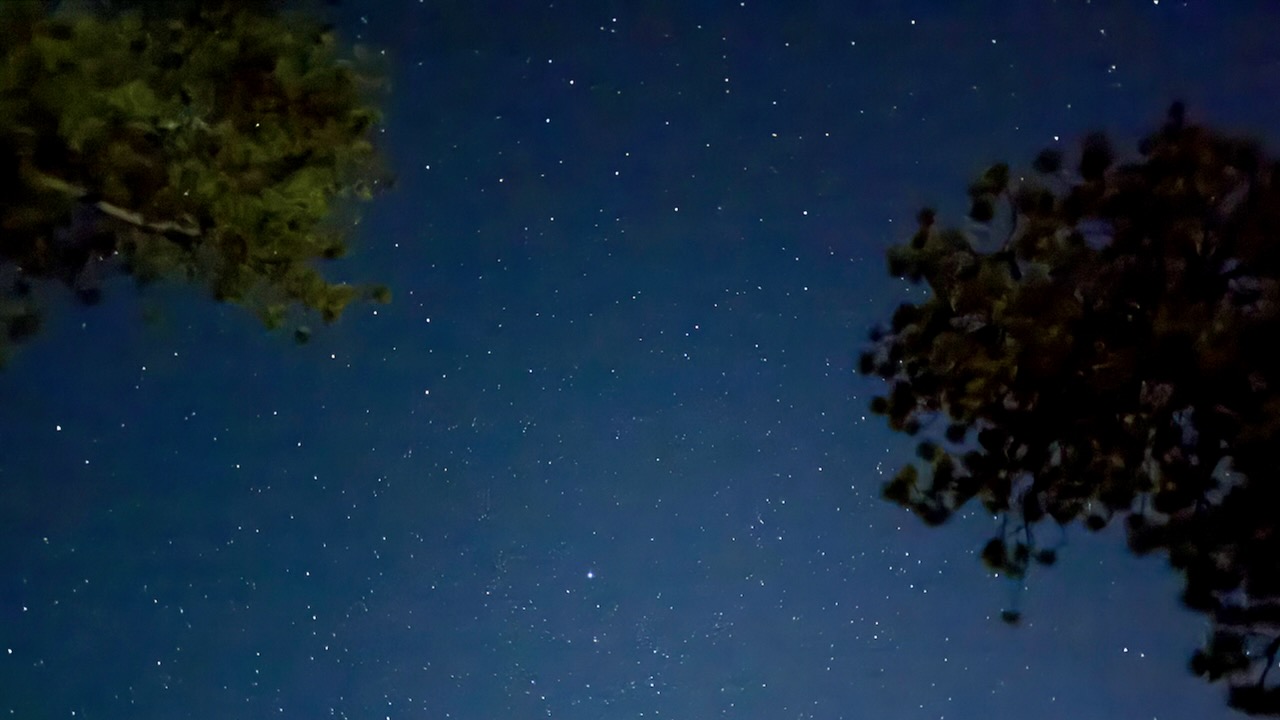
Night skies fantastic.

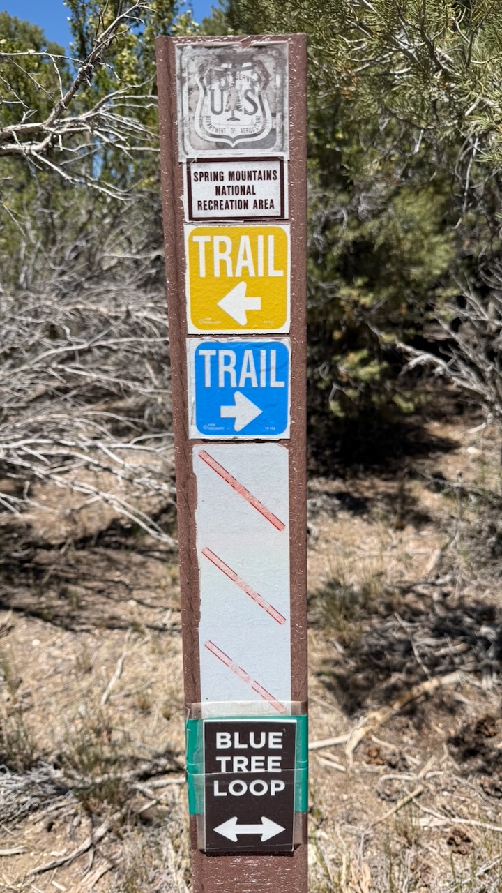
There are plenty of hiking trails to choose from within the Mount Charleston Wilderness, which is within the Spring Mountains National Recreation Area of the Humboldtโ€“Toiyabe National Forest.

AllTrails lists some of the best.  

Over 60 miles of trails, most over 6000ft in elevation. 

Some trails are signed. But I randomly connected different trails using the Maps.me app offline. Phone service is limited there in 2026.

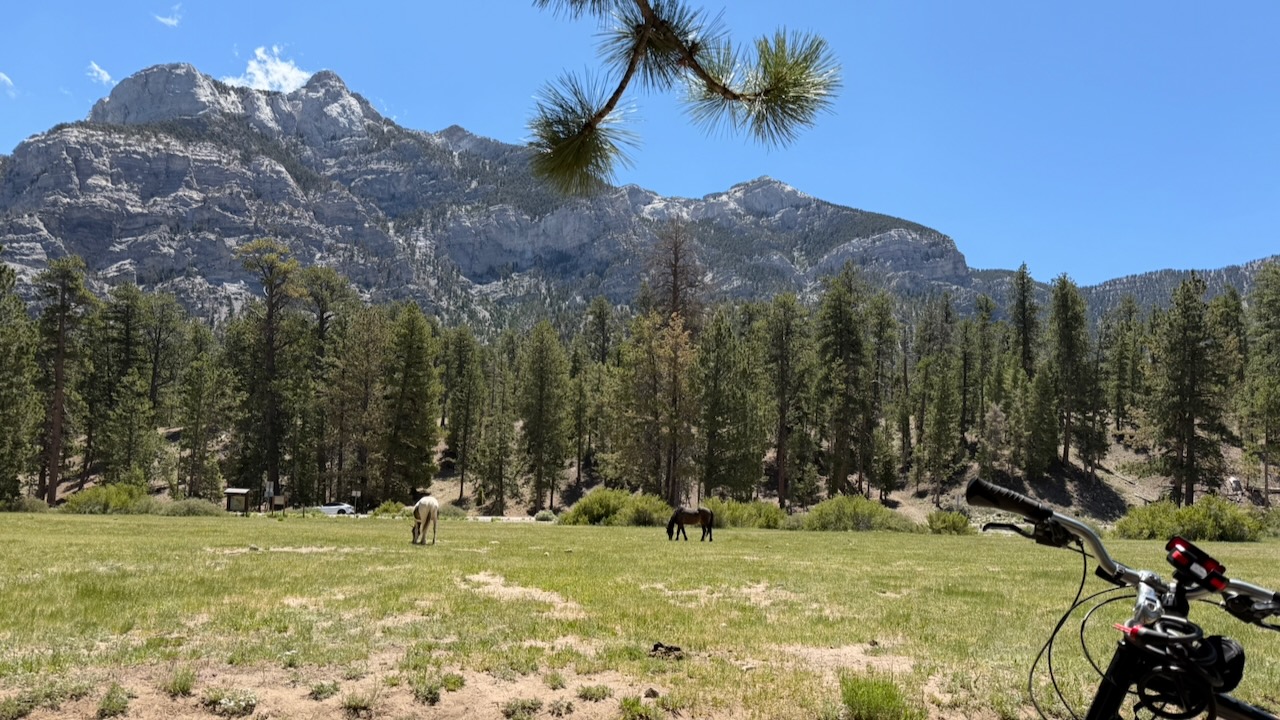
I had a bike and roamed up and down the mountain, as well.

Click PLAY or watch it on YouTube.

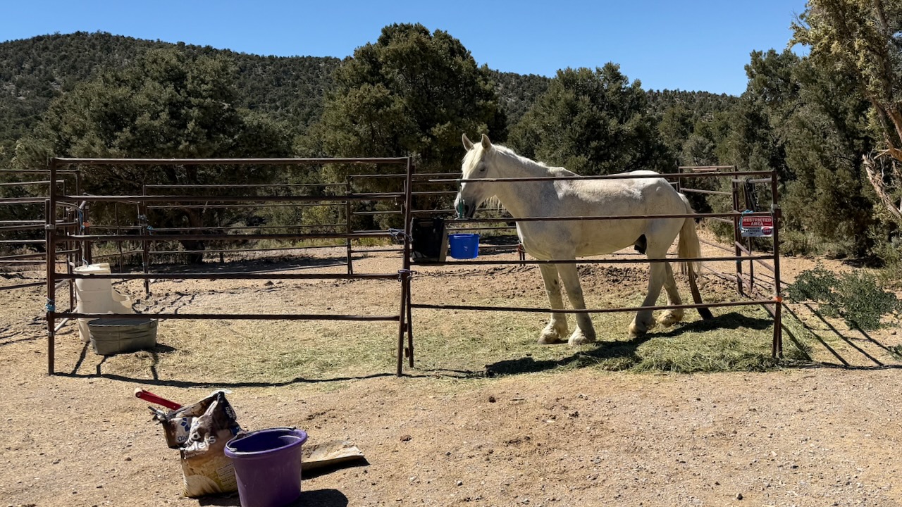
Wild horses ignore tourists. 

Trail rides are available. And many bring their own horse up to ride in cooler weather.

Mount Charleston has about 200 camp sites and over 150 picnic areas.  

Last 2 nights I joined friends at McWilliams Campground which is close to the Lee Canyon Ski / Mountain Bike Resort and restaurants. 

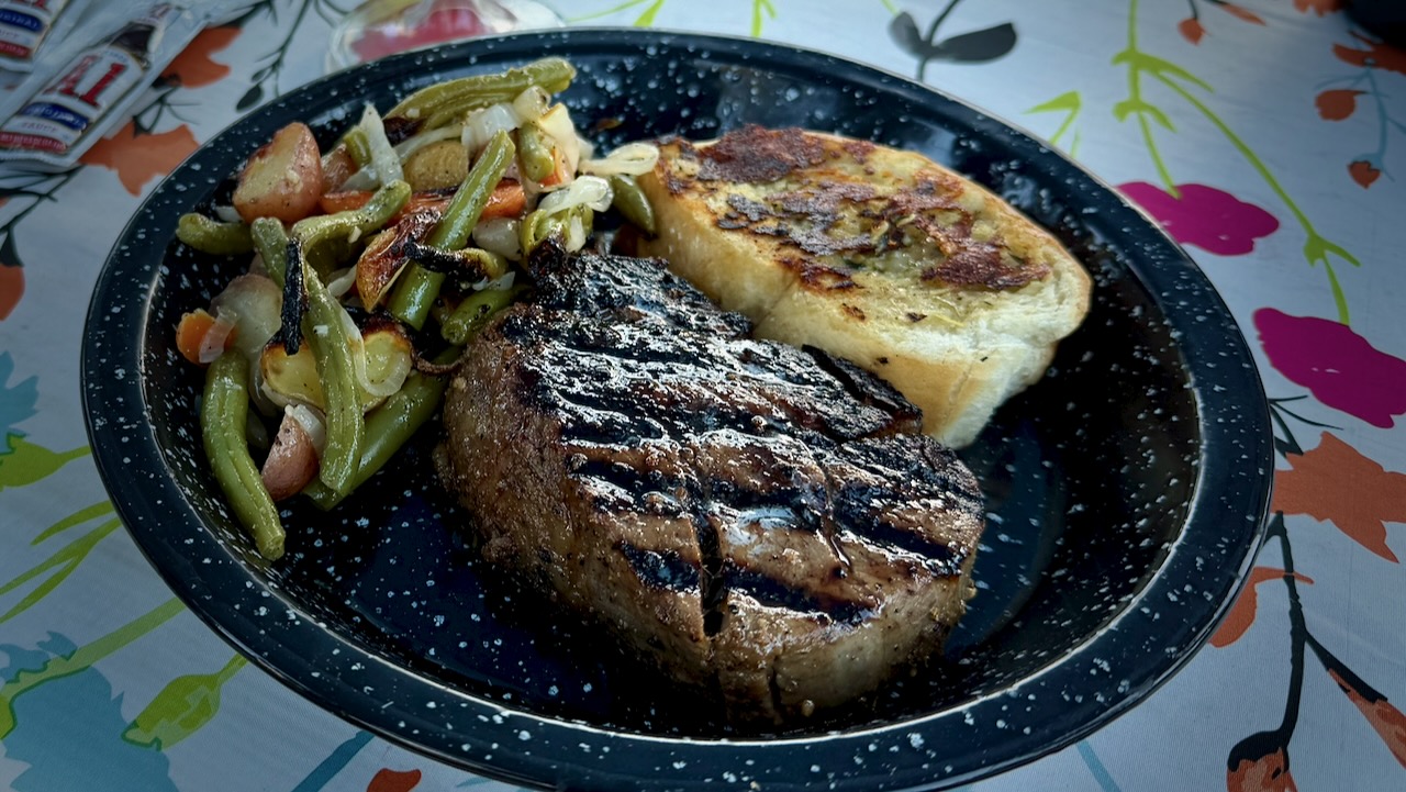
This is glamping.

Open fires are still allowed in campgrounds, despite the high risk of wild fire.

We hiked the NEW Lee Canyon trail from the ski resort, close to 2 miles up over a vertical gain of 850 feet.  And 2 miles back.  

Needless to say, we enjoyed a cold beverage at the restaurant on our return. 

You can ride a chairlift up and hike down, if you prefer. 

To plan your trip, check the Go Mt. Charleston website for up-to-date trail maps and safety alerts.

Surprisingly, it rained on our last night.

My GEAR for 500 Miles on the PCT

by BestHike editor Rick McCharles

I have a PERMIT for 523.0 miles from Idyllwild to Kennedy Meadows South in California.

Starting May 26, 2026.

I’m hoping to survive for at least 14 days of that. ๐Ÿ˜€

GEAR should be as light as possible.

Of course there will be resupply food and plenty of water to carry, as well.

For this particular adventure, my priorities are …

  • Staying Hydrated
  • Foot Care
  • Avoiding Heat Emergencies

I’m trying a hiking umbrella for the first time. Plan to switch between shoes & socks several times each day. I once had to quit another section of the PCT due to blisters.

photo edited with A.I.

Sleeping

Walking

Clothing

  • Janji Transit Tech Pant
  • Janji 5 inch Running Shorts
  • Red Sun Hoodie
  • Swift Ultra Light Cap
  • Swift Ulta Light Cap (long brim) 
  • Wool Blend t-shirt
  • North Ridge Wool t-shirt blue
  • red Nike quick dry t-shirt
  • Hiking Shoe 1 – Altraย & Altra Gaiters
  • Hiking Shoe 2 – New Balance
  • Socks wool – medium x 2 Danish Endurance
  • Sock liners wool – medium x 3 Danish Endurance
  • Injinji Toe Socks x 1
  • Running Shorts x 3
  • Black summer Buff
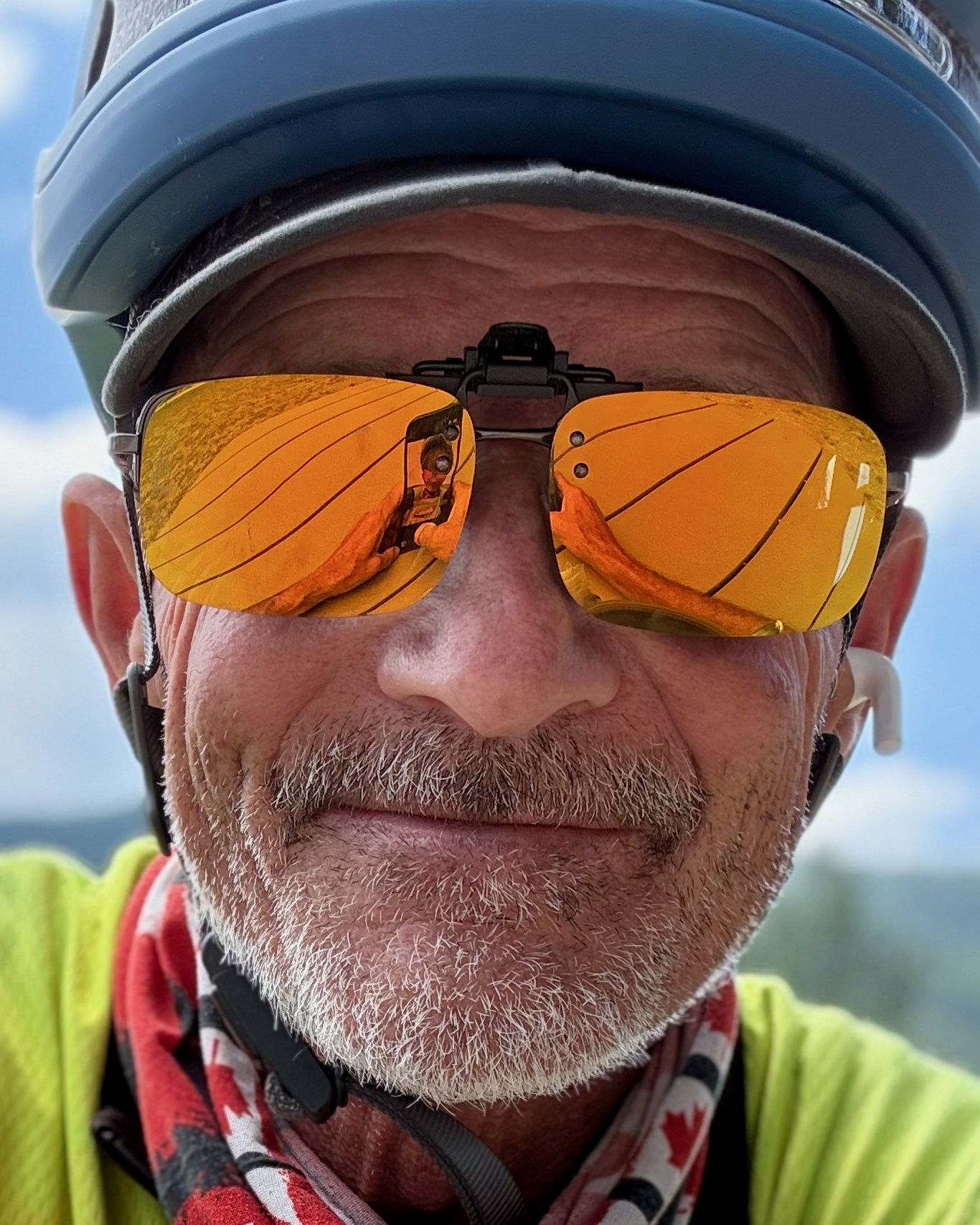
  • Canadian flag Buff
  • Clip-on Sunglasses
  • Frogg Toggs Rain Jacket
  • Helly Hansen Red Hooded Puffy

Eating & Drinking

  • PocketRocket Deluxe Stove 
  • Fuel
  • Long lighters x 2 
  • Titan Kettle 
  • Pot scrubber 
  • GSI mug / bowl 
  • Metal Spoon
  • Microfibre cloth for clean-ups
  • Water Bottles (up to 8 litres)
  • Sawyer Squeeze Water Filter 
  • Water Purification Tablets – Package of 30 
  • Fabric Grocery Bag

Electronics

  • Red Stuff Sack
  • iPhone 16 Pro & cable
  • FarOut PCT app (navigation)
  • EarPods & cable
  • iPhone 17 Pro Max & cable (camera)
  • ULANZI MT-33 Phone Tripod
  • USB-C storage for phone
  • Neo 2 Drone
  • Powerbanks x 2

Ditty Bag

  • Green Stuff sack
  • Fingernail clippers
  • Toothbrush & Toothpaste
  • Tweezers (ticks)
  • Prescriptions
  • Aspirin
  • Antacid
  • Vitamin Gummies
  • Creatine Gummies
  • Sunscreen
  • Alcohol Gel
  • Wilderness Wipes
  • Toilet Paper
  • Bandaids
  • Denture tablets & Case
  • Duct tape
  • Athletic tape

Other

  • Hip Pack
  • 2 Credit cards & bank card
  • Cash
  • 16L Matador ReFraction Packable Backpack 
  • Six Moon Designs – Silver Shadow Carbon Trekking Umbrella
  • Gossamer Gear – Handsfree Umbrella Clamp
  • AirTags
  • Waterproof Passport Case & Passport
  • Paper Maps
  • Garbage Bag (green for dirties)
  • Garbage Bag (clear for clean)
  • 55 Gallon Garden Trash Bag (pack liner)

Food

  • Flash Frozen Meals x 10 to start
  • Cashews
  • Coffee
  • Tea
  • Spice flavouring
  • Protein Bars x 8
  • Smoked Cheddar
  • Raisins
  • Dried Mango

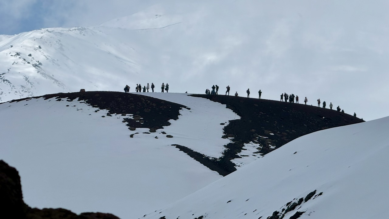
Day Hiking Mt. Etna, Sicily

Trip report by BestHike editor Rick McCharles

I arrived Sicily from nearby Malta.

PLAN was to climbย Mount Etna, the tallest activeย volcanoย in Europe, and one of the most active in the world, currently 3,403ย m (11,165ย ft) high.ย 

I figured it would be an easy day trip after Kilimanjaro.

Should have done some research. Summit trekking peak tours of Etna generally operate from April through November, with the main hiking season starting around May.

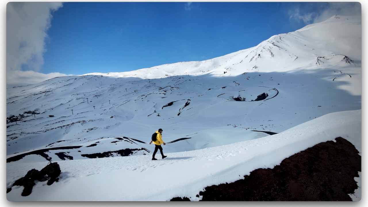
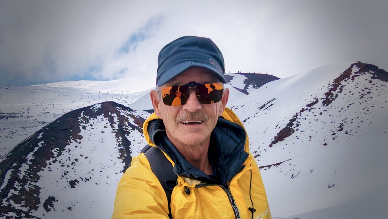
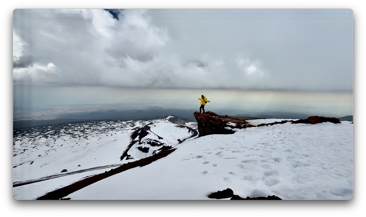
I arrived late March. There was a LOT of snow, even around 1900m. It can be 10โ€“15ยฐC cooler than in Catania. Many tourists arrive underdressed. And with footwear better for the beach than snow. ๐Ÿ˜€

Volcanic rock is somewhat sharp. It can cut flip-flops. I wore approach shoes and was OK on the snow and ice. Coming from Canada, this was normal for me. I didn’t see anyone using any kind of ice cleats.

They ski and snowshoe here. There are 2 small ski resorts.


I’d flown into the jumping-off point for Etna, the city of Catania.

There are dozens of options for day hiking Etna, from dozens of companies. It’s confusing.

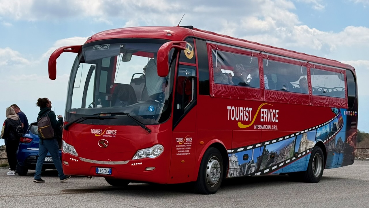
My hostel recommended a day trip by bus offered by Tourist Service for โ‚ฌ30, discounted from a posted โ‚ฌ35 regular price. Since their office was right next door to my accommodation, I signed up.

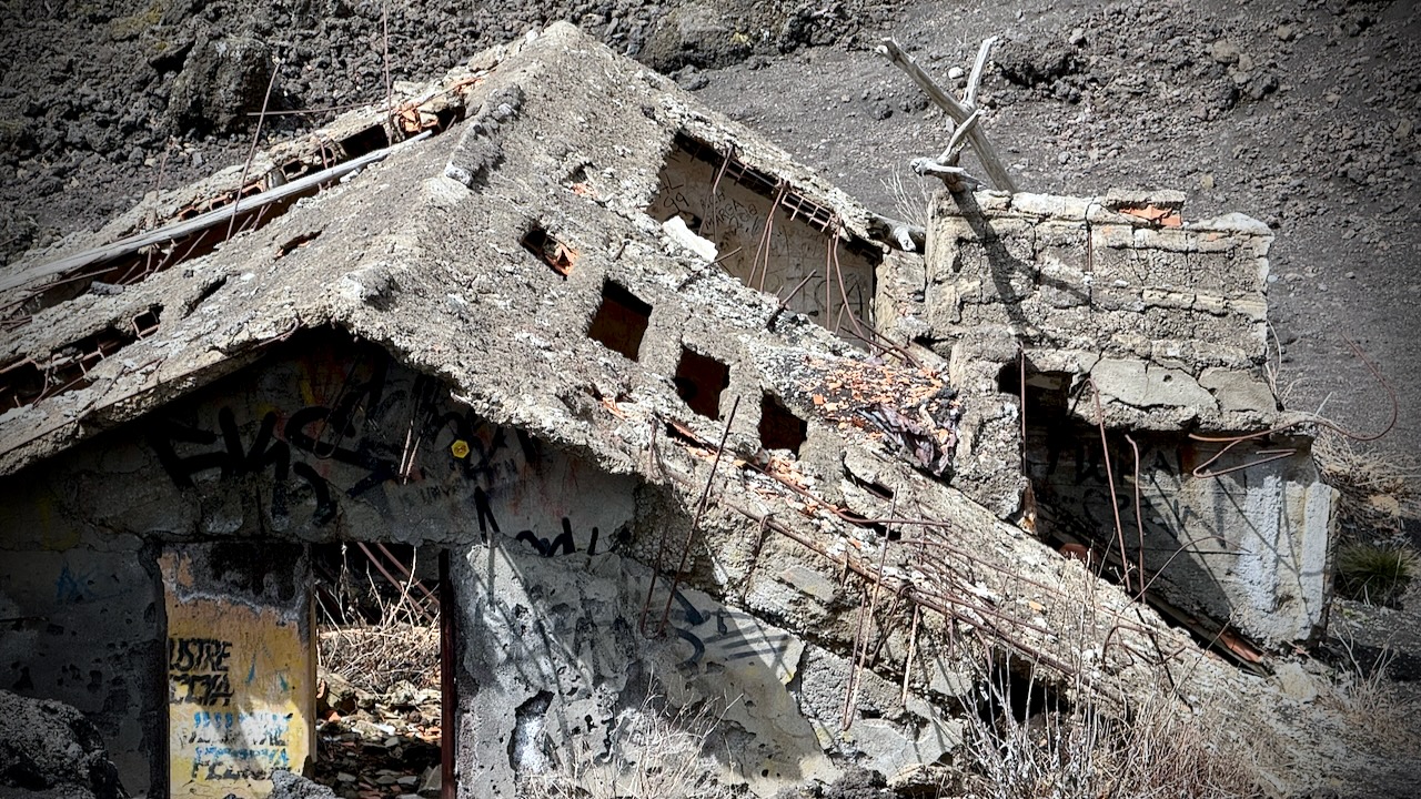
It’s about 2 hours (with traffic) to Etna from the city. On the way up, we stopped to see a recent example of eruption damage. Yikes. This mountain has killed a lot of people over the centuries.

Bus delivered us to Rifugio Sapienza at around 1900m on the more popular south side of the mountain. A bit of a tourist trap. The north trailhead (Piano Provenzana)ย is better for offers wilder hiking trails and fewer crowds.

From Sapienza you can take a cable car up to 2500m. It’s expensive at โ‚ฌ54 return when I was there. And you can hire a 4×4 contraption to pay even more. Guides are required at higher elevations.

I opted to stay close to the Rifugio Sapienza trailhead, saving my money for a summit climb some time in future.

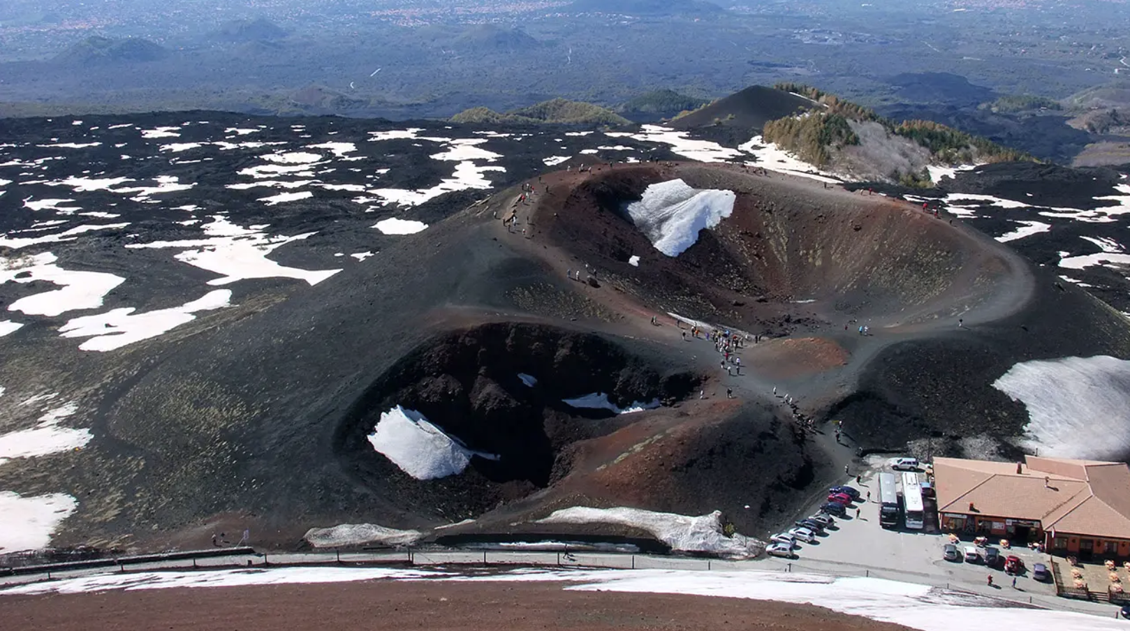
There’s an additional โ‚ฌ5entry fee for the Silvestri Craters on the south side. Well worth it. The highlight for me.

It’s only about 1km to circumambulate all 5 craters โ€” but they are scenic.

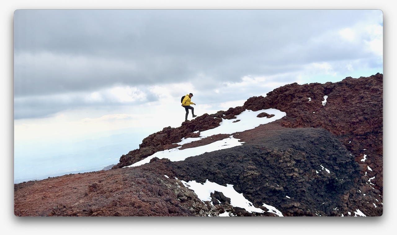
With an hour left before my bus departed, I climbed the most conspicuous cone.

Had the top to myself for about 20 minutes.

Looking down on to the Silvestri Craters

Driving your own vehicle to Rifugio Sapienza is a good option. And there’s a public bus โ‚ฌ6.60 return โ€” but it leaves Catania very early. Returns very late. I assume that service runs mainly for employees.

related – Visiting Mount Etna | Everything You Need To Know Before the Hike

Click PLAY or watch a 1-minute highlights video on YouTube.

5 Days, 4 Nights Camping Serengeti, Tanzania

Trip Report by BestHike editor Rick McCharles

Quick overview using just my own photos in this post. I’ll share more detailed information in the near future.

Click PLAY or watch it on YouTube.

There are over 500 companies offering Serengeti wildlife tours.

Least expensive โ€” about U.S. $200 / day in 2026 โ€” is sleeping in large canvas tents.

I signed up for one of the “Camping Safaris” that welcomed solo travellers.

DAY 1

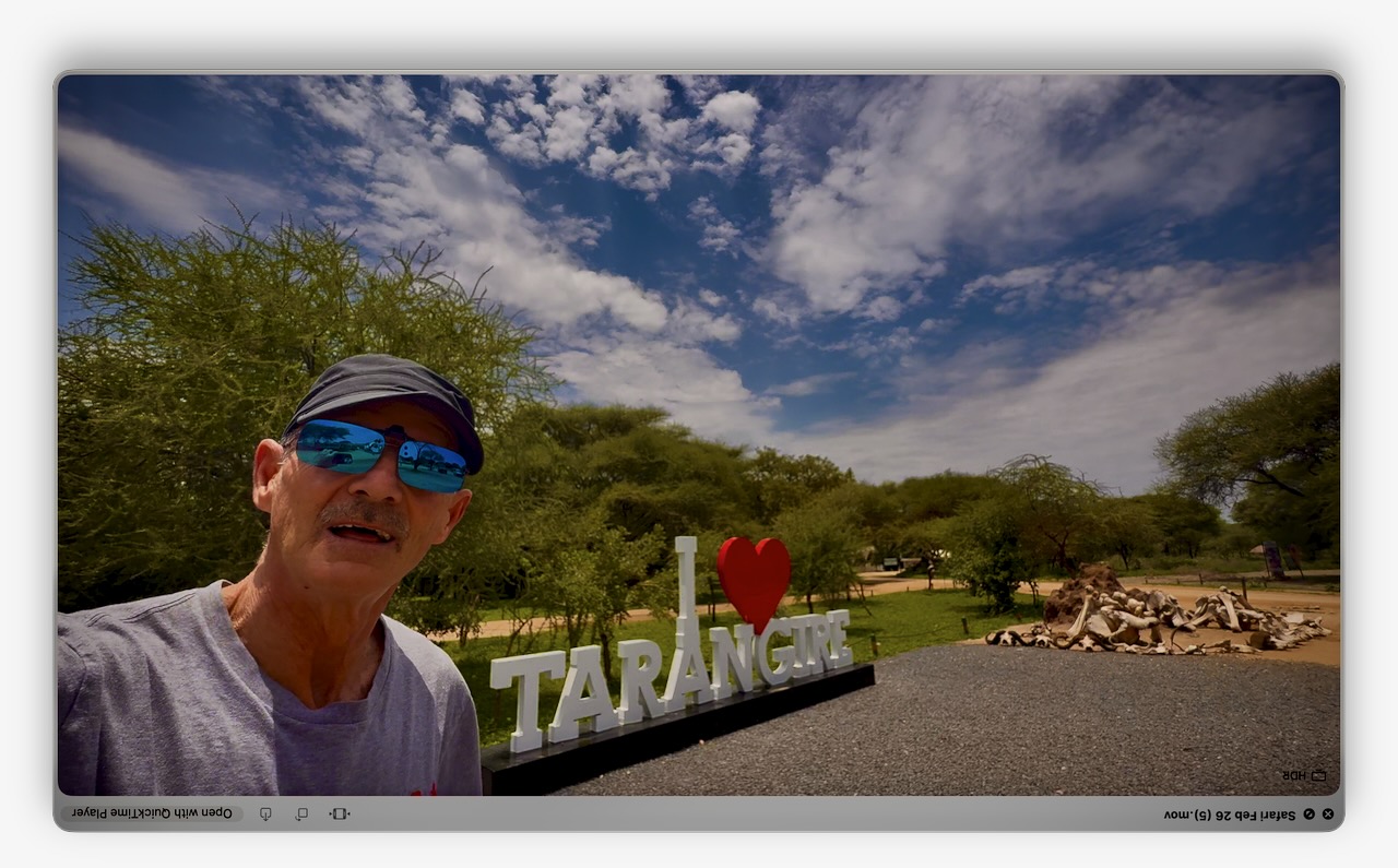
Arusha to Tarangire National Park

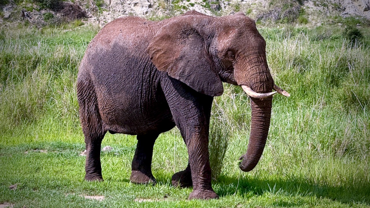
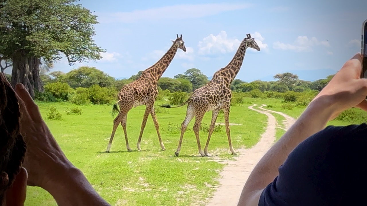
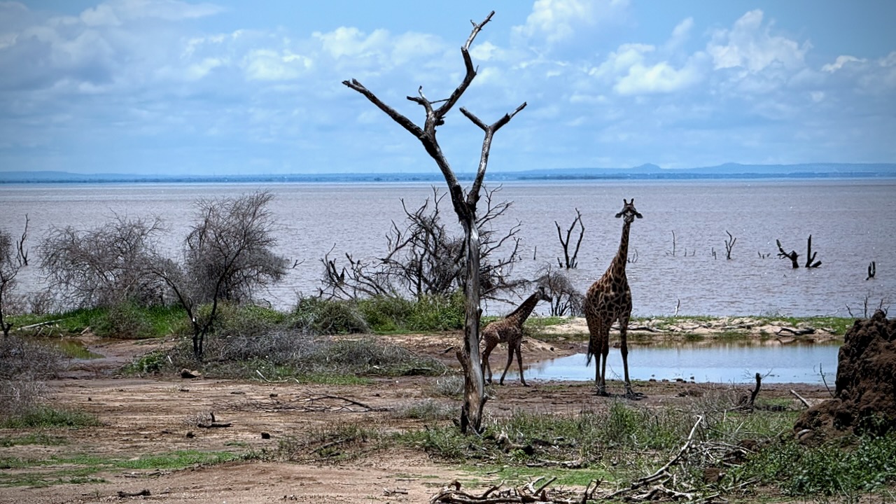
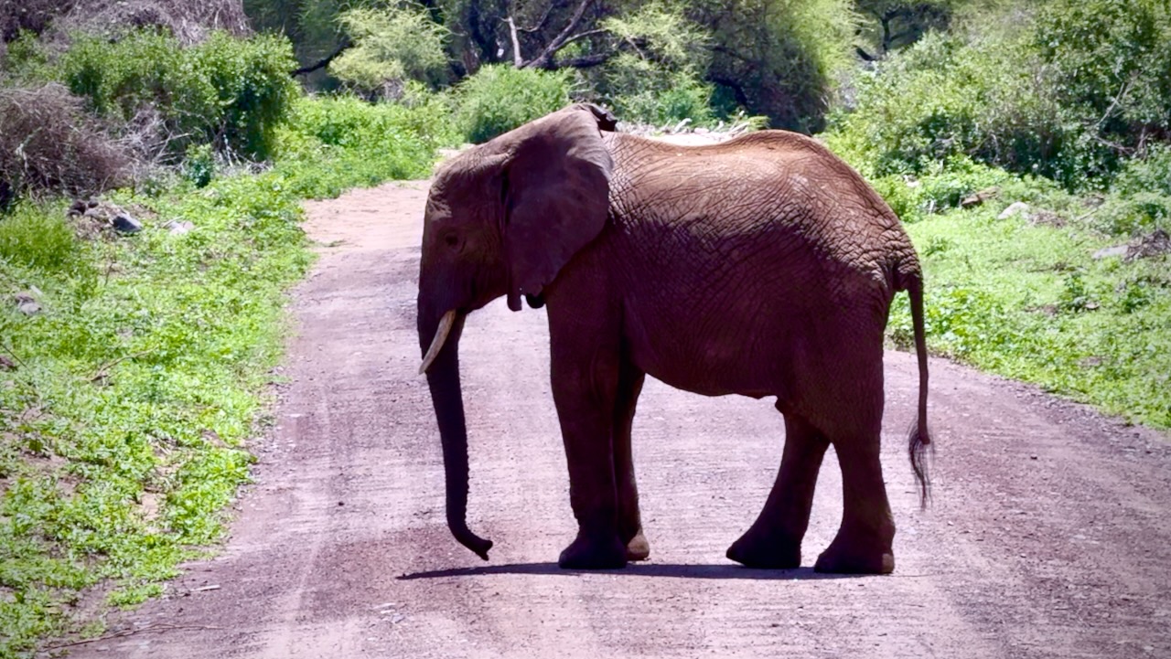
A great start. Tarangire is known as the Elephant Paradise. We saw MANY elephants and giraffes close up.

Giraffes love munching on Acacia โ€” despite the very sharp spines.

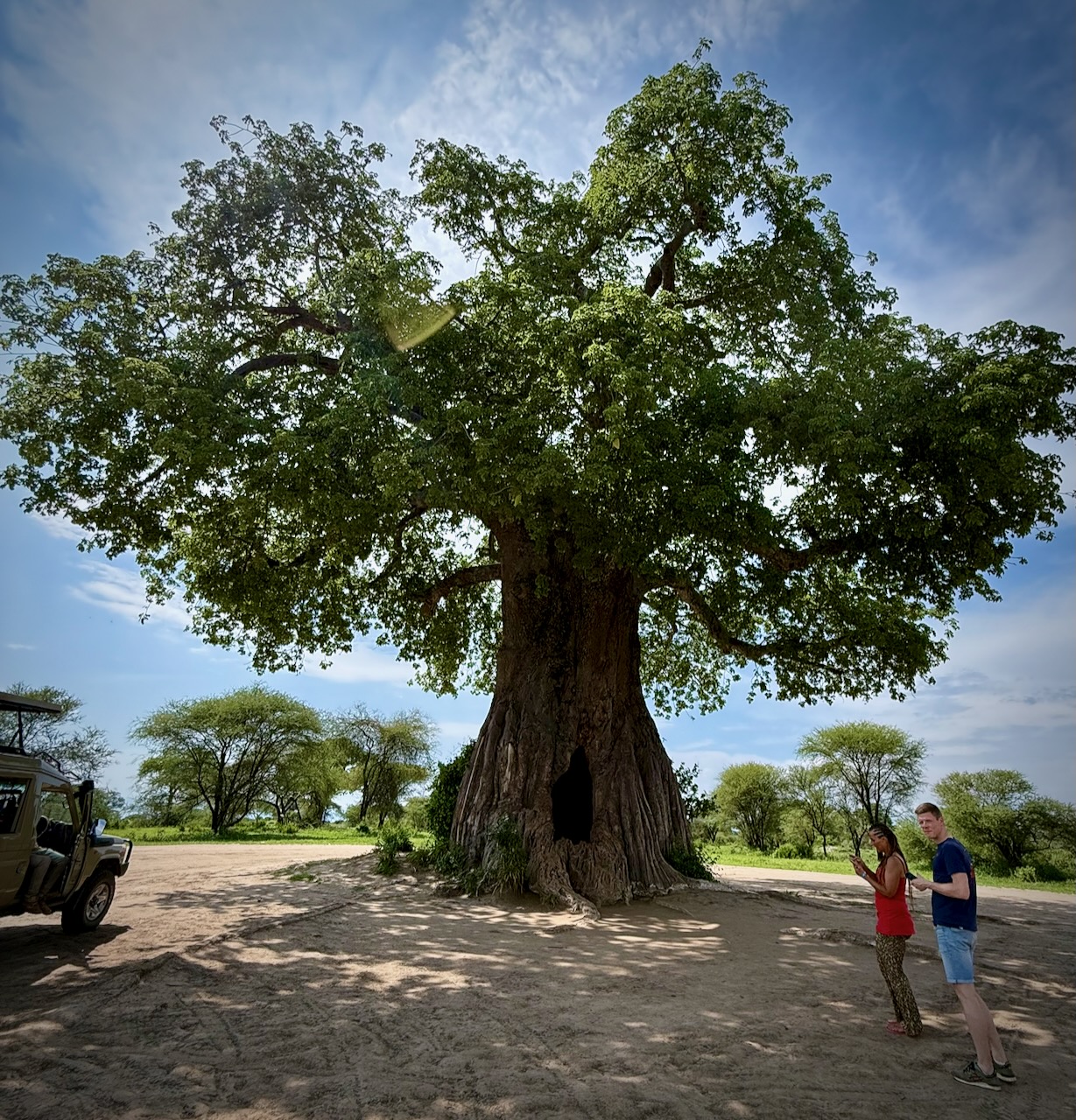
Huge Baobab trees are a highlight, as well. I do love the African trees.

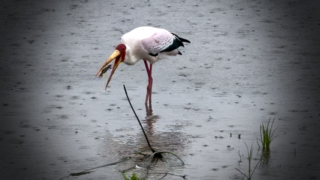
Home to more than 550 bird species, the park is a haven for bird enthusiasts.

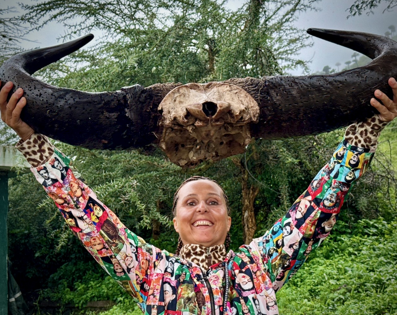
And this enthusiast.

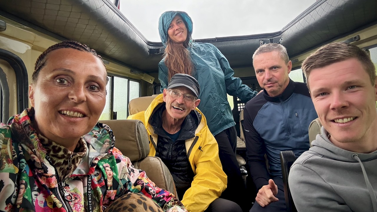
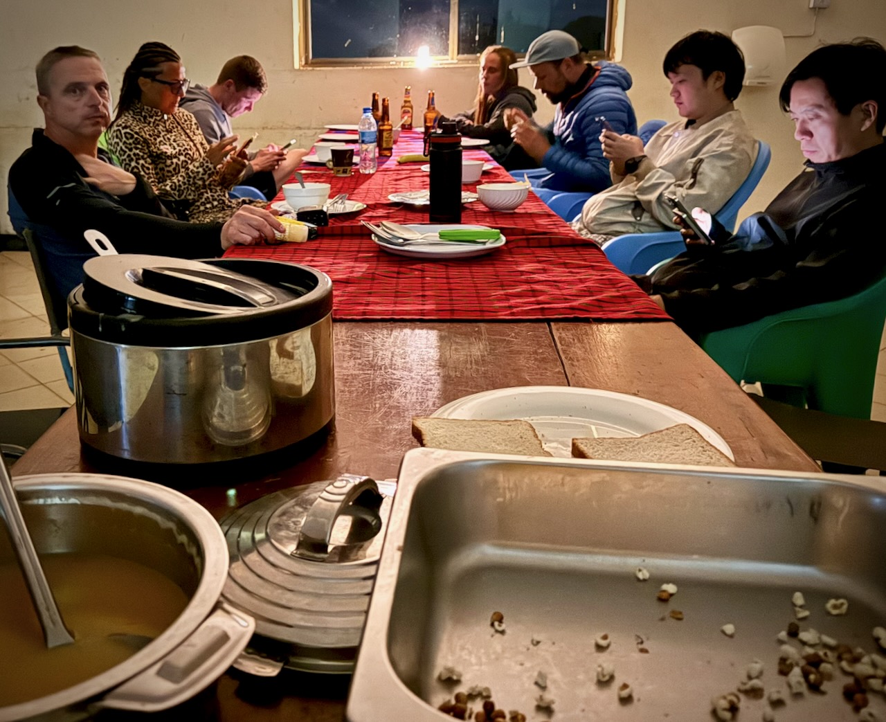
I’d signed on solo just the day before. Our group was 5 individuals who hadn’t met one another before meeting in the Toyota Landcruiser.

We actually had 2 LandCruisers. 2 Guide / Drivers. 2 groups. And one cook.

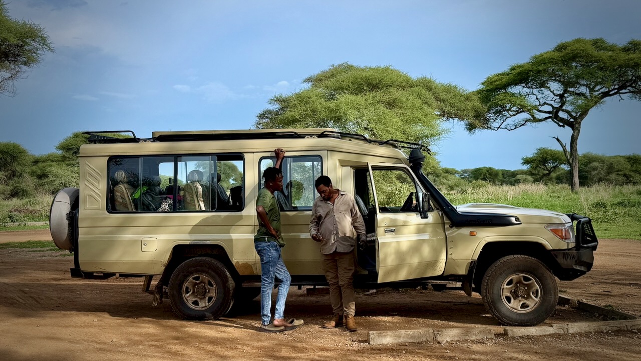
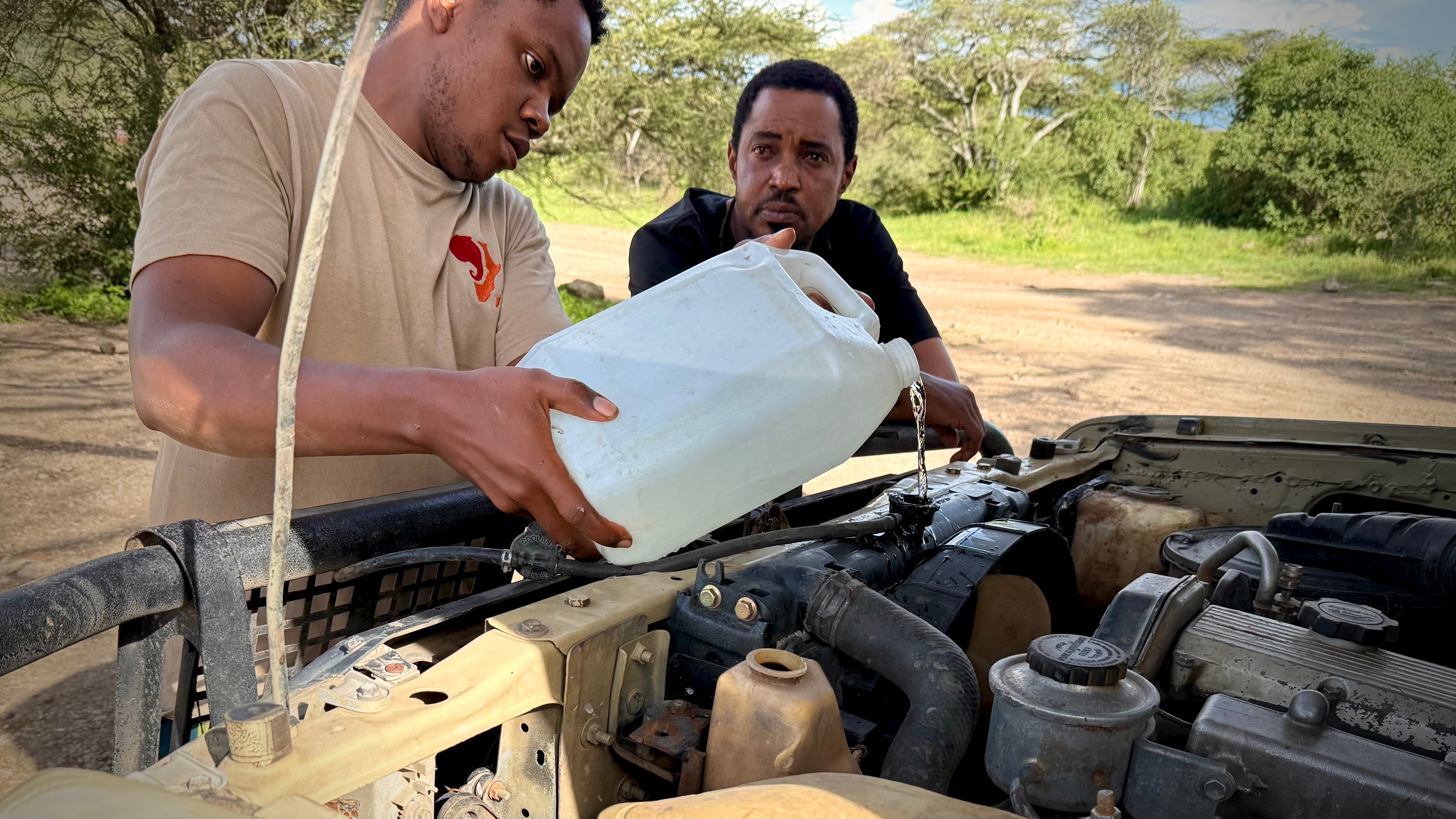
These LandCruisers are incredibly tough โ€” but they do need constant maintenance. We saw several being towed. One crashed on the highway.

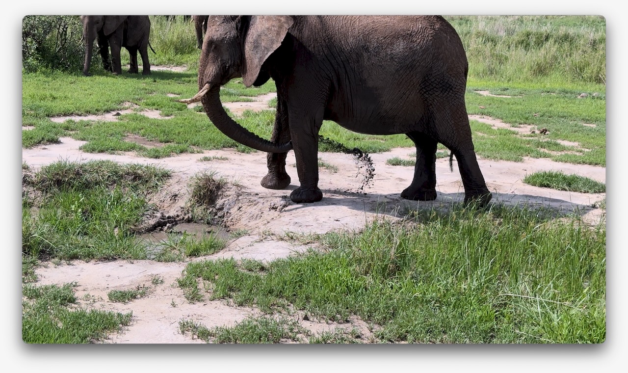
Very memorable was watching elephants give themselves a mud bath.

I was surprised to find myself staying in a comfortable hotel in Mosquito River. I’d signed up for a camping safari. ๐Ÿ˜€

DAY 2

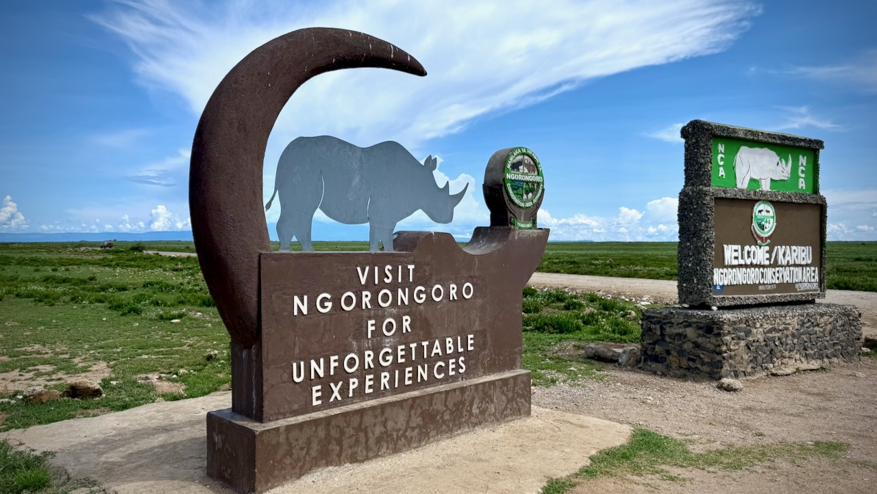
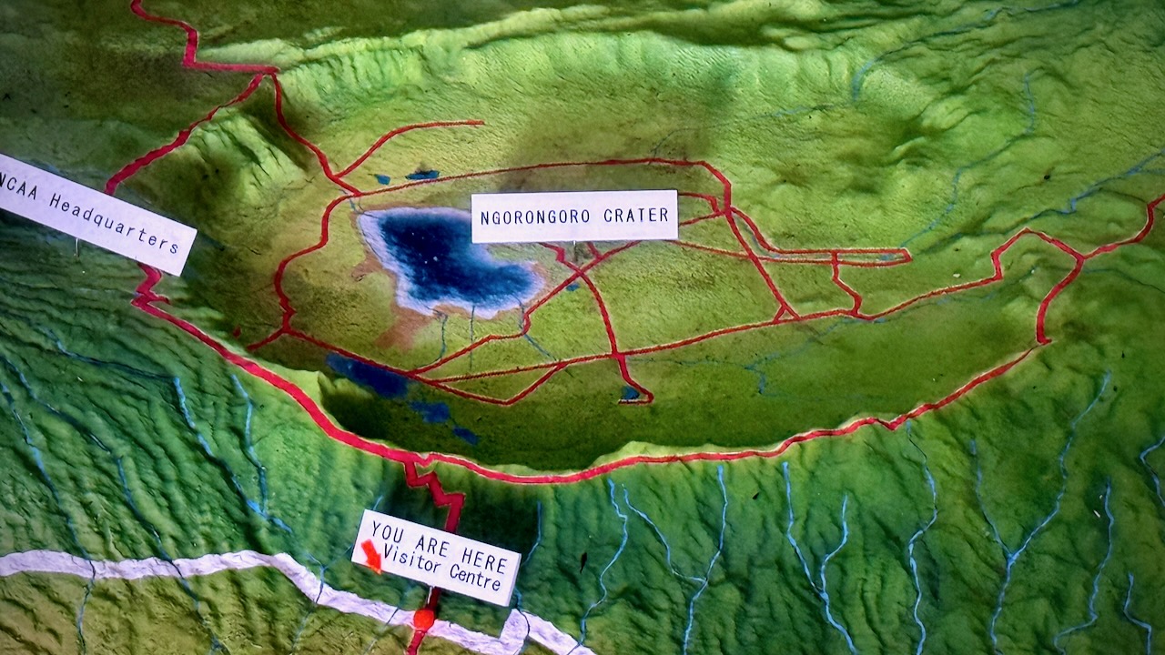
To Ngorongoro Conservation Area

For me Ngorongoro was even better than Serengeti.

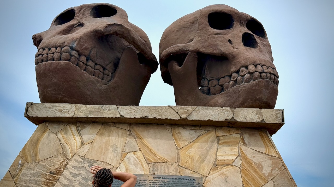
This is where Mary Leakey worked for decades. Olduvai Gorge. Hominin fossils more than 3.75 million years old.


The Maasai still live in the highlands here, though they are no longer in the caldera nor in the National Parks. Maasai herds can be as impressive as the wild animals.

Kids as young as age-4 are sometimes given responsibility to watch them.

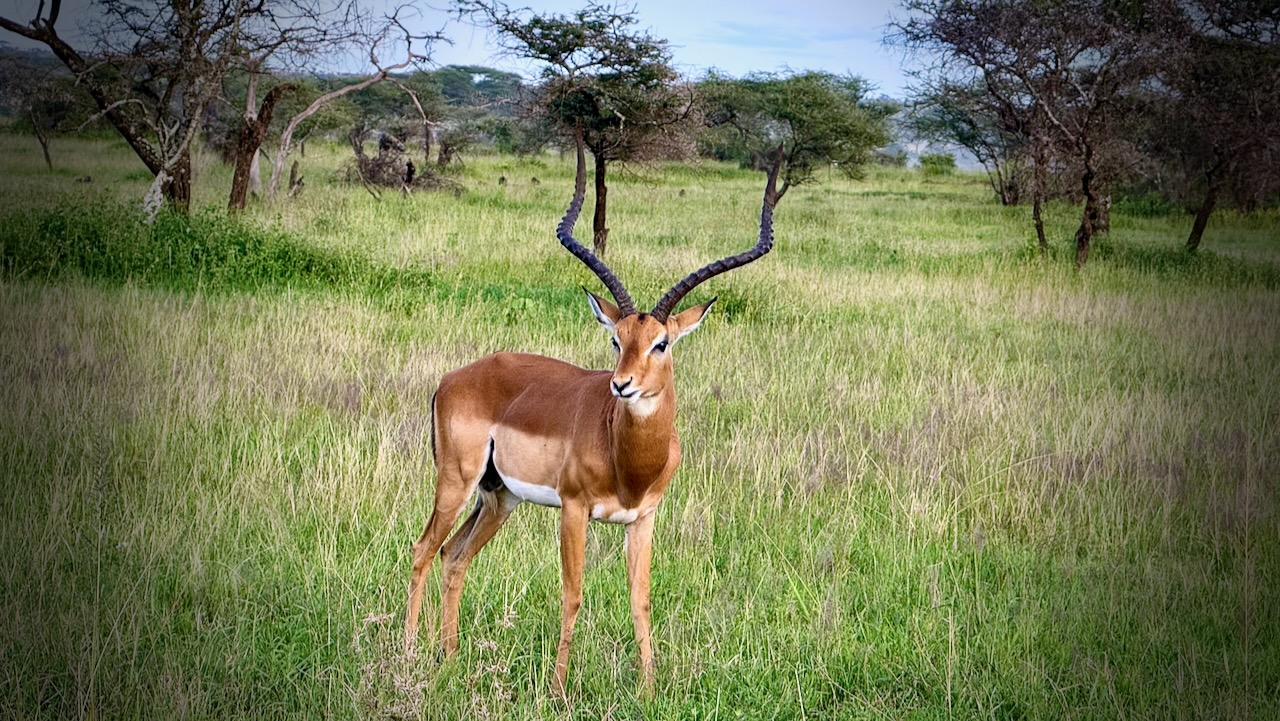
I hadn’t realized how many Impala and similar antelopes roam these grasslands.

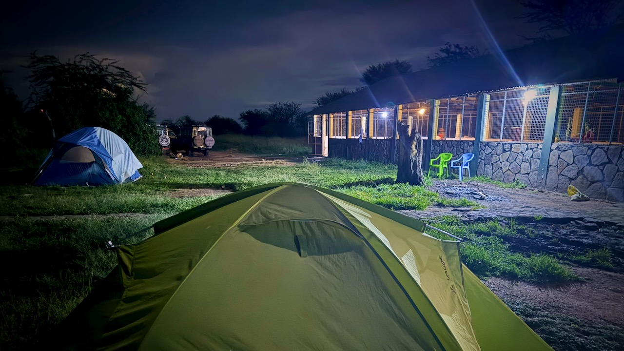
We camped in Serengeti.

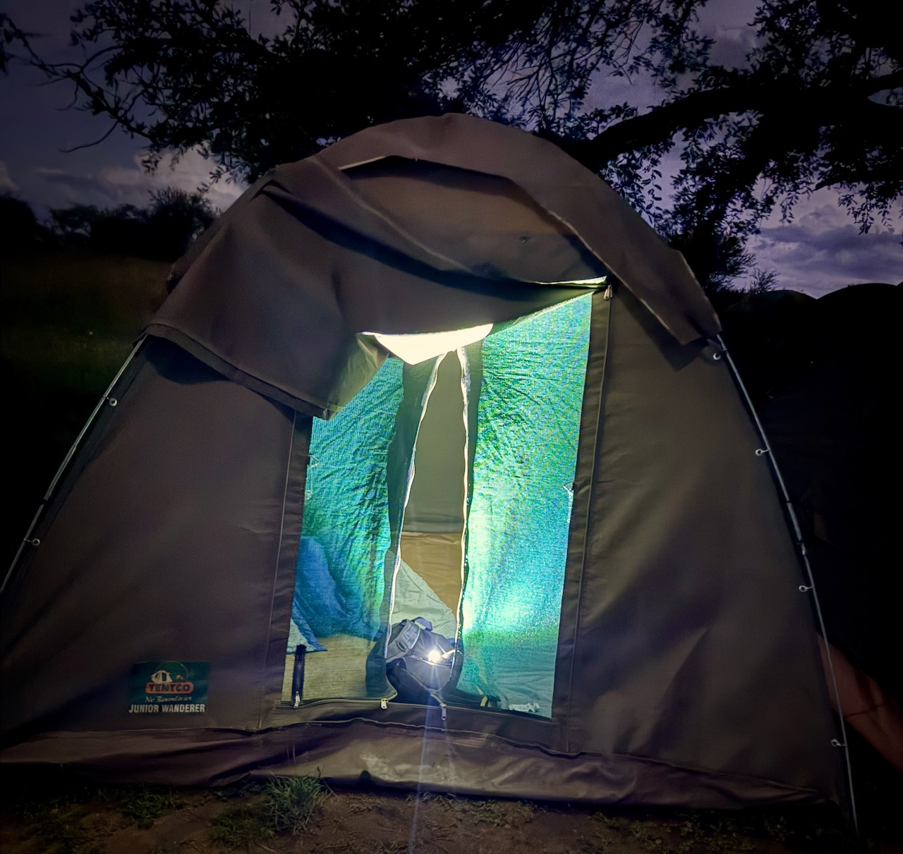
Simple canvas tents. I used my own sleeping bag and air mattress.

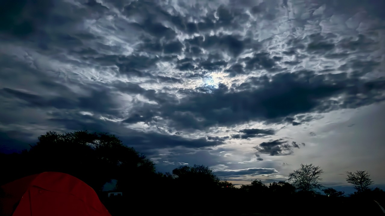
During a 2am pee break, here’s how the sky looked to my iPhone 16 Pro.

DAY 3

Touring Serengeti National Park

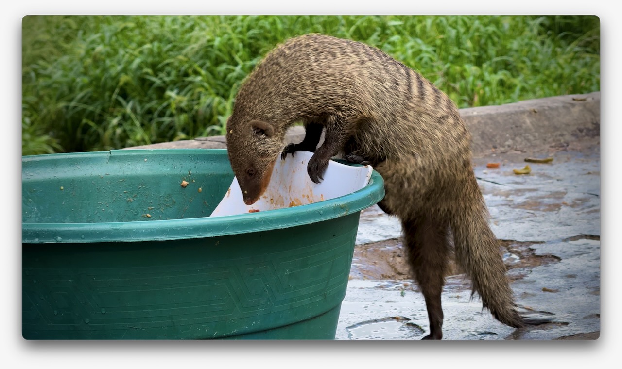
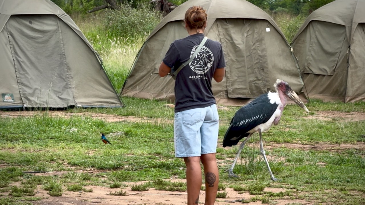
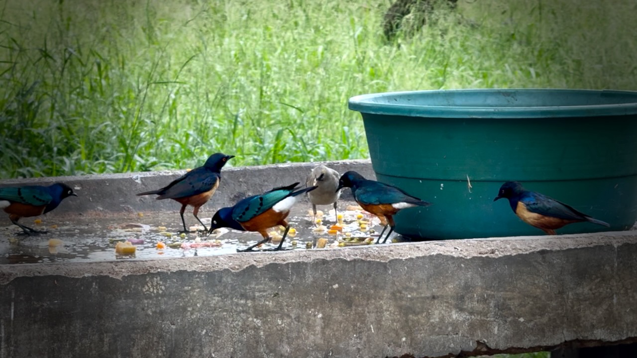
Check out our breakfast visitors. ๐Ÿ˜€

A horde of mongoose. Including babies.

Two huge cranes.

Dozens of small songbirds.

Serengeti is astonishingly vast grasslands. Massive number of grazing animals.

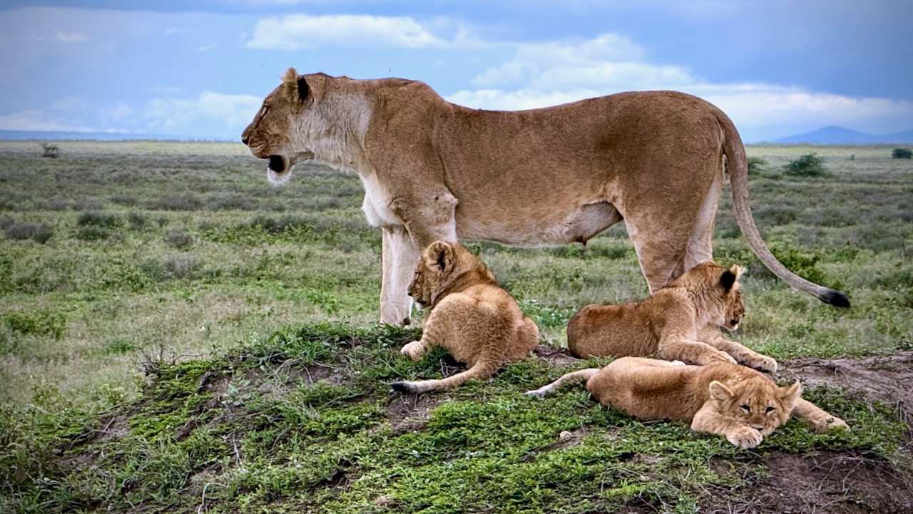
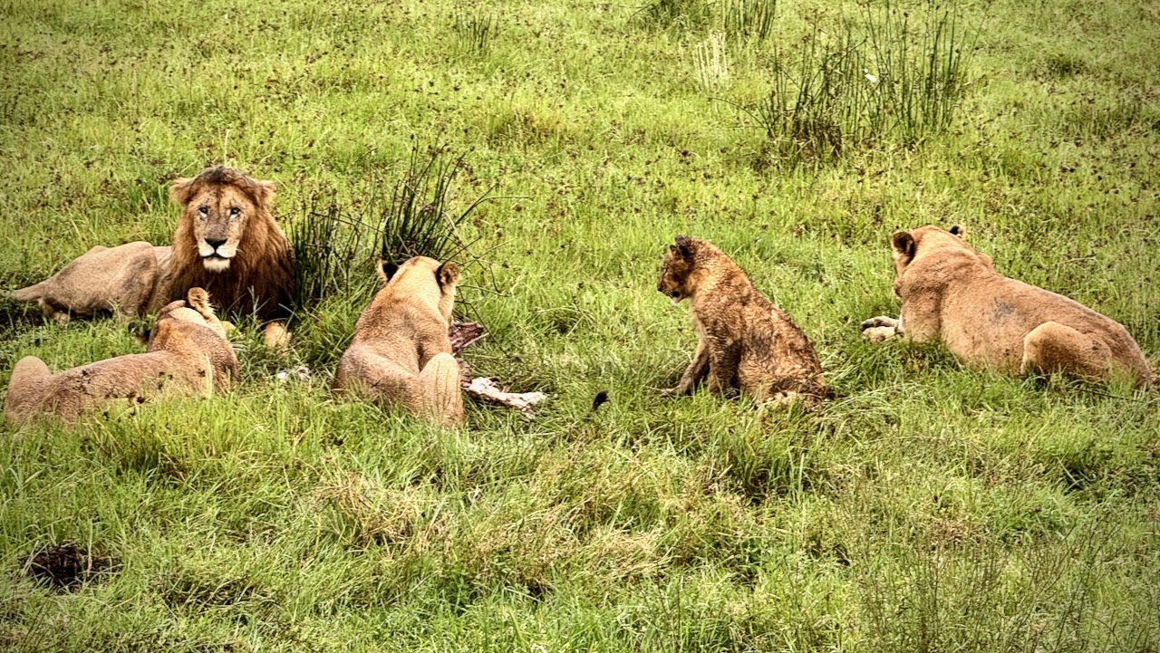
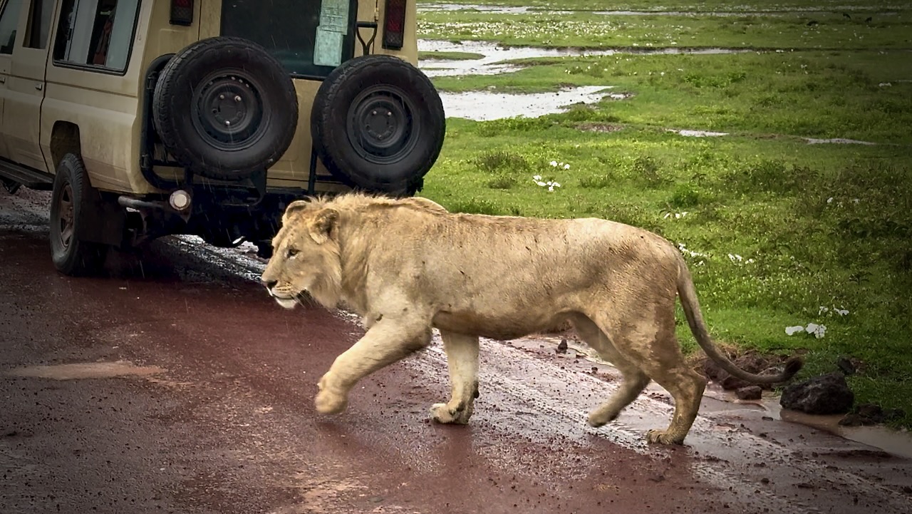
Lions are stars of the show here, often resting suspiciously close to roads. ๐Ÿ˜€

These three cubs were playful.

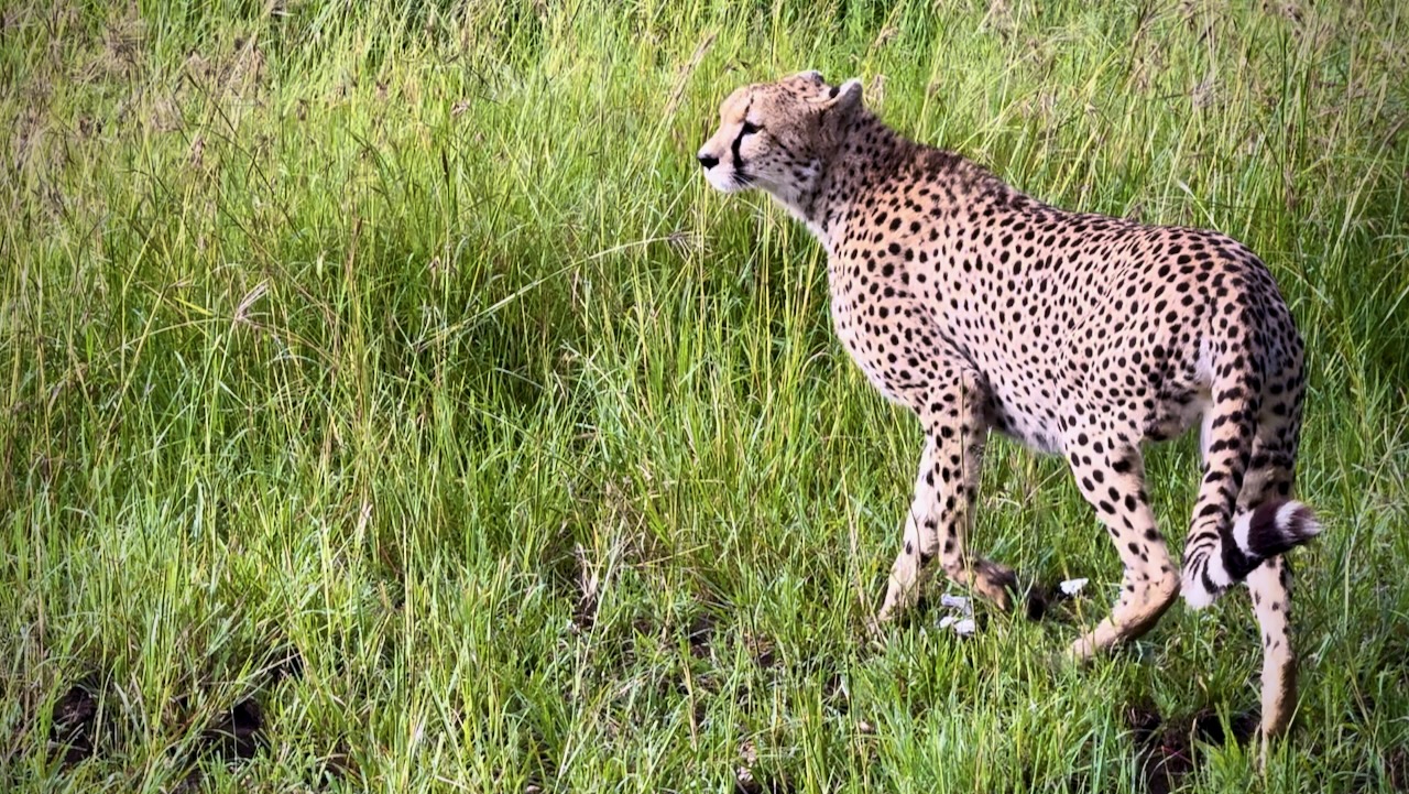
Predators seem to have easy pickings of the sick, old, and very young.

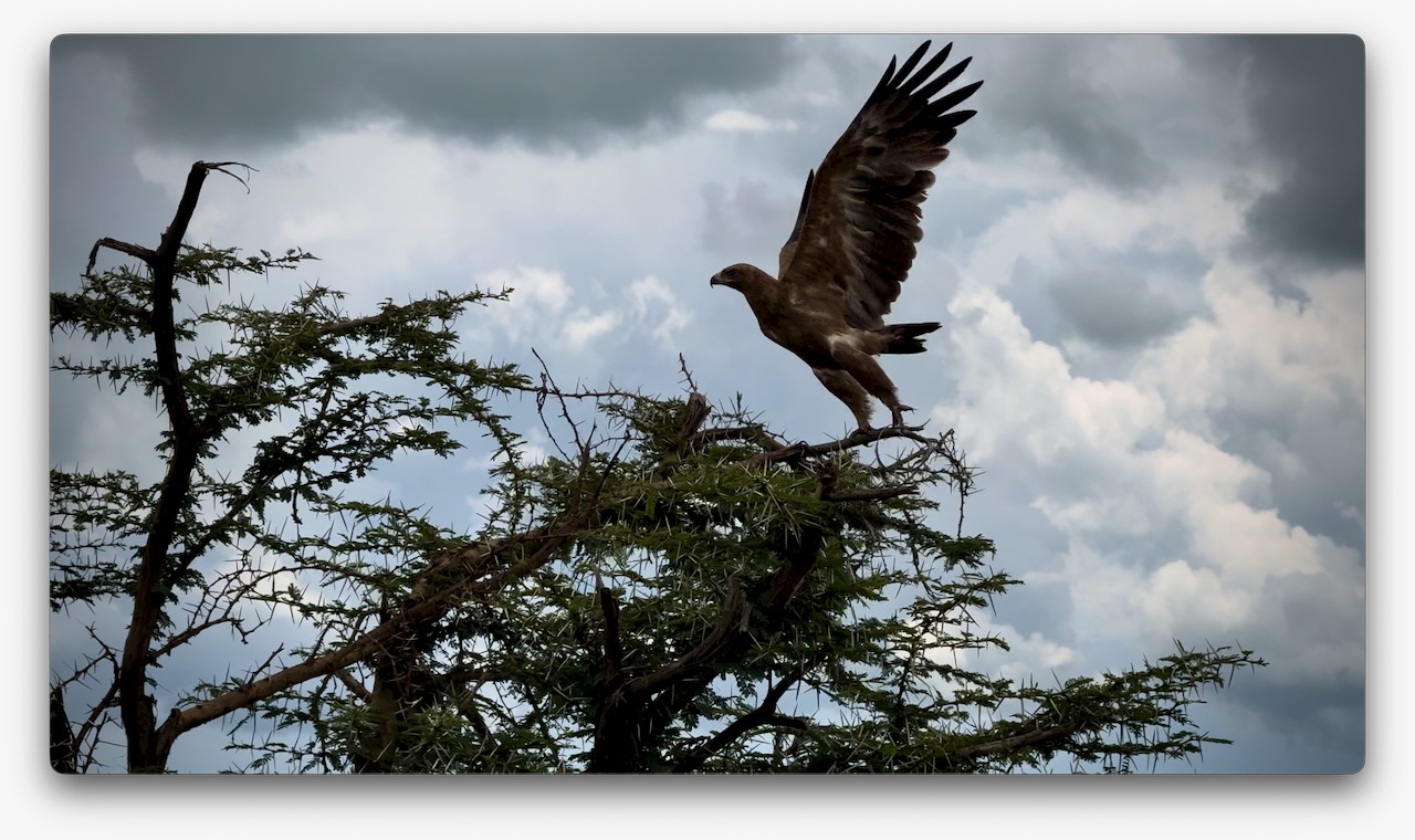
I wished I was a birder as my life list would have grown by about 100 a day here. Many species are very large.

In the afternoon, we drove to a campground in Ngorongoro.

This one had electricity and very good hot showers.

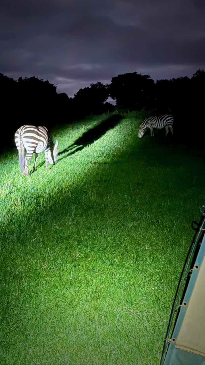
As foretold, we had zebra grazing between our tents.

Two ladies from my group got up to pee in the middle of the night. They found themselves only a few metres from Buffalo โ€” one of the dangerous Big 5.

DAY 4

Touring Ngorongoro Conservation Area volcanic caldera in the early morning.

We awoke to heavy rain. It seems the “long rains” from March to May have just begun.

Early start dropping down into the crater.

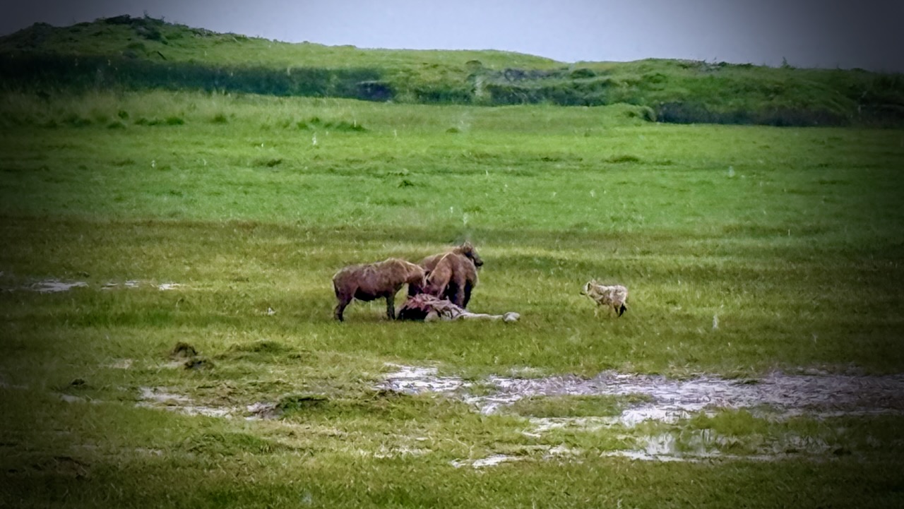
Predators were still working on their kills from the previous night. It seems young zebra are the dinner of choice for most.

These hyenas were almost finished with their kill. A jackal was sneaking in to get quick bites, when it could.

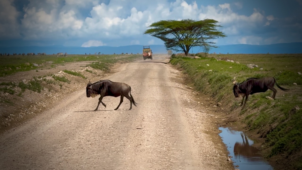
Why did the Wildebeest cross the road.

Animals migrate for grazing and water sources. Predators follow.

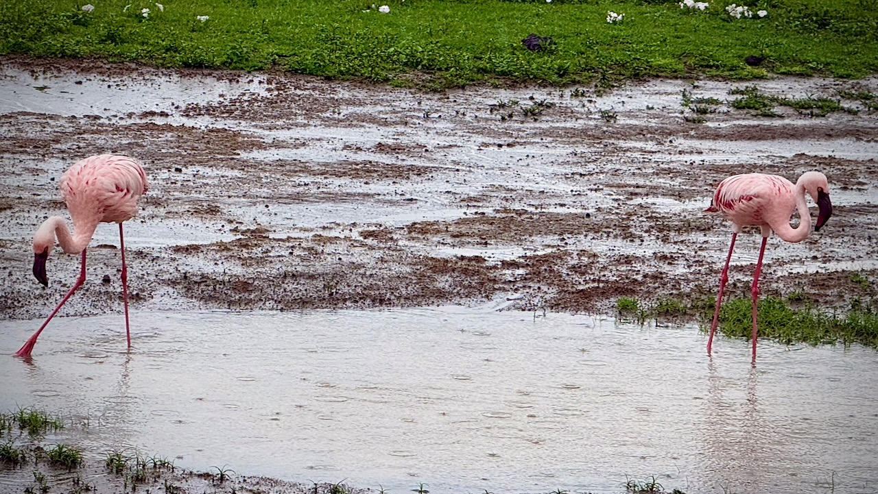
There was plenty of water in the crater while we were there. Flamingos a highlight.

Water birds of all species eat well here.

Everyone enjoys the safari experience.

Needing to drop off 2 of our group of 5, we drove all the way back to the Mosquito River hotel. This means I actually spent 2 of the 4 nights in a comfortable hotel, even though I’d signed up for camping. ๐Ÿ˜€

DAY 5

Touring Lake Manyara National Park. Back to Arusha.

Last day we had only 2 of our original five signed on for the 5th day.

Manyara was better than expected. A small, well-maintained park alongside a muddy Lake.

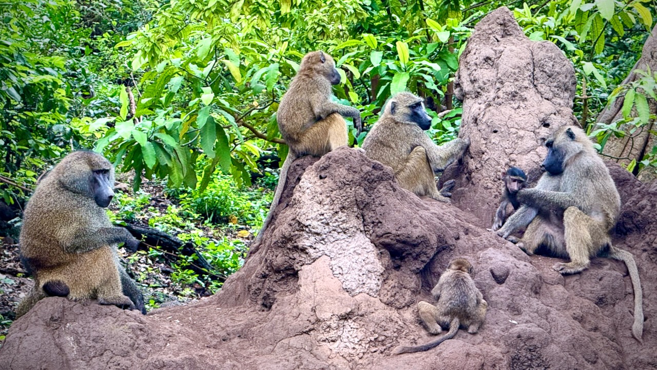
We’d not seen many baboons nor monkeys over the previous 4 days. Made up for it here. We saw thousands of entertaining baboons playing, fighting, chasing, grooming.

Plenty of Blue monkeys. And Blackface (Vervet) monkeys, as well. The different species seem to cooperate well.

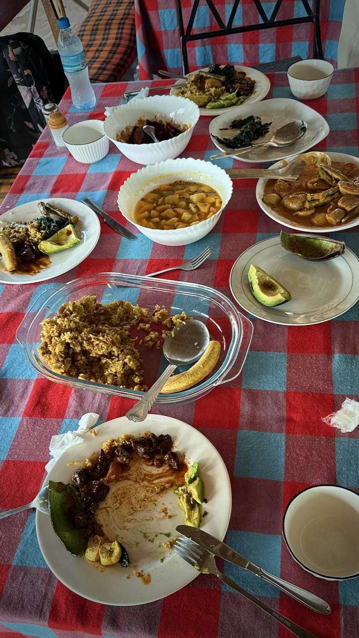
Back to the hotel for one last lunch from Tony.

His best yet.

And then the 3 hour drive back to Arusha. Our safari ended.
TIPS

It’s confusing to decide on which company to go with. Certainly you’ll be in the same Toyota LandCruiser, on the same bumpy roads, seeing exactly the same animals with most.

The only one that caught my eye for the camping option is Suricata Safaris.

Prices go way up from $200 / day depending on where you sleep each night. Luxury lodges are available. Budget about 10% for tips. And about 10% for unexpected charges.

Private bookings are more expensive, as well.

Though I did 5 days, 4 nights โ€” optimal, I’m thinking, is 4 days, 3 nights. You’ll probably miss Lake Manyara National Park if you do this.

My iPhone 16 Pro was perfect for climbing Kilimanjaro. But it’s a frustrating, crappy option for safari. I constantly wanted more optical zoom. Bring an excellent camera on a short tripod, if you can. Also binoculars.

My only other safari was Addo Elephant Park, South Africa, in 2013. Excellent. My guide provided a checklist of animals and birds we might see โž™ and it was super fun to fill that checklist during the day. I wished I had something similar here.

Power failures are a near daily occurrence in Tanzania. Bring power banks to recharge your electronic devices.

Wifi is slow and inconsistent here. Best get phone data which works quite well.

Many tourists are over-charged. Some cheated. We had a driver for a day who claimed I had shortchanged him $40. I hadn’t. But rather than argue I gave him an extra $20 โ€” and reported to his employer.
Worst story I heard in person was a tourist landing in Zanzibar at 3am who was stopped by two supposed police. They took his passport. Two hours later he bribed them $200 to get his passport back.

Most of the worst stories I heard were in Zanzibar.

BEST is to have transportation from airports arranged in advance with your accommodation.

Second best is to download the ride sharing Bolt app. It worked well for me.

Arguing with taxi drivers is the worst option.

Intercity buses can be OK โ€” but driving is slow in East Africa. Short flights a better option.

Message me if you have any questions.