Kraig Adams – September 2025 – 75 miles hut to hut alone on the Alta Via 1 in the Dolomites of Italy.
In and out of Venice airport.
Click PLAY or watch it on YouTube.


Best hikes, treks, tramps in the world.
Kraig Adams – September 2025 – 75 miles hut to hut alone on the Alta Via 1 in the Dolomites of Italy.
In and out of Venice airport.
Click PLAY or watch it on YouTube.
This long-distance walking route is the GR 223 of the Senderos de Gran Recorrido network in Spain that connects some of the most inaccessible beaches of Menorca. …
The path is divided in 20 different stages, each of them between 5 and 14 km.
 Check it out on AllTrails.
Steve Berger did it wild camping. But setting up your own tent is actually illegal here. You might be fined.
Click PLAY or watch it on YouTube.
Trip report by BestHike editor Rick McCharles
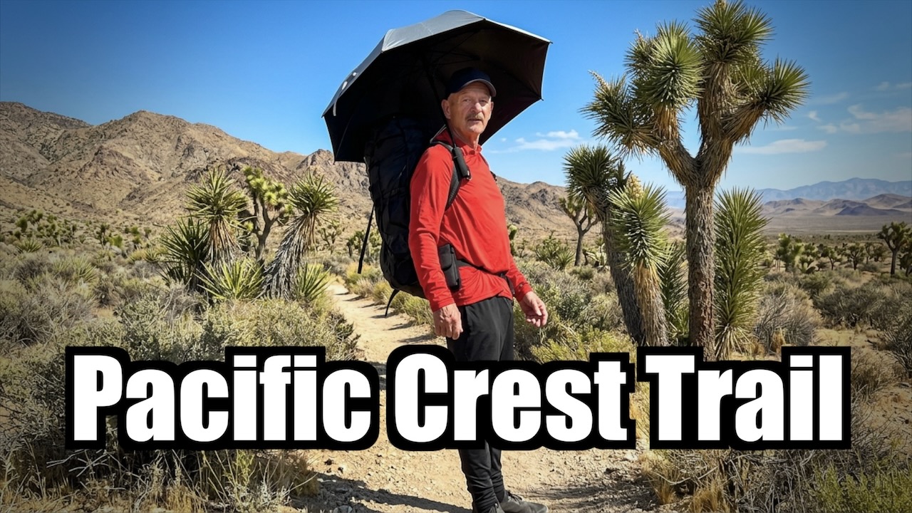
I really enjoyed a couple of weeks alongside thru hikers in a hot, dry desert section of the PCT.
Click PLAY or watch my highlights on YouTube. (6min)
Hot, dry — but not flat. I ended up on the summits of Mt. San Jacinto (10,834 ft) and Mt. Baden-Powell (9,399 ft). Then had to descend.
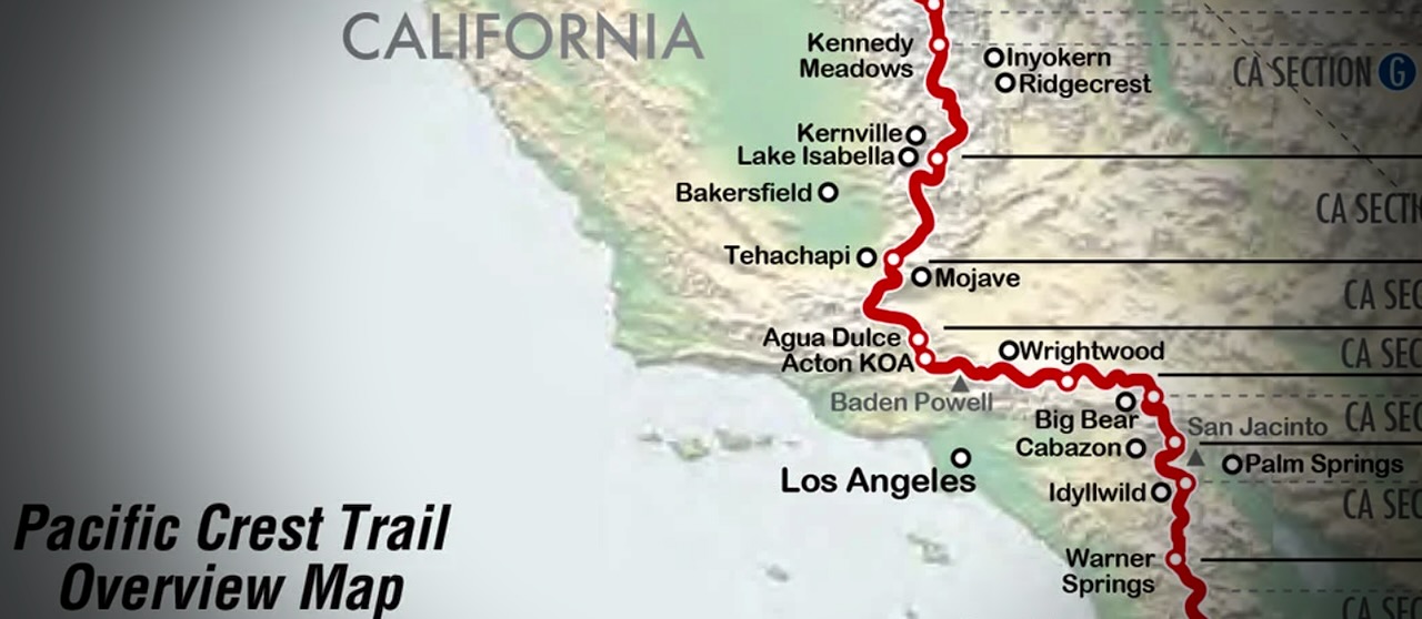
Palm Springs to Agua Dulce is about 245 PCT miles. My section was mostly rocky, sun-baked canyons and scrub.
Many complain about the relentless wind. Personally, I like wind as it cools you off.
I skipped some of those miles taking 3 rides along the way. Of course I added miles hiking in from the Palm Springs Tramway. And ALL hikers add miles when they hike into and out of resupply stops.
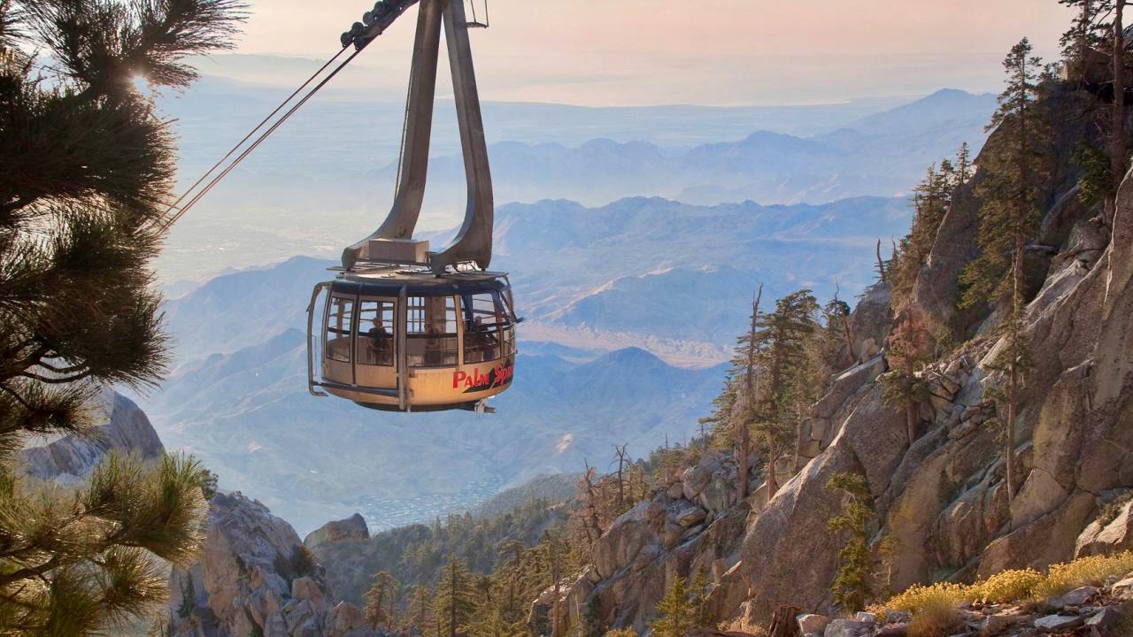
I flew into Palm Springs. Bought camping gas and stopped at a grocery. Then took the bus to the bottom of famed Palm Springs Aerial Tramway.
Turns out there’s no public transit for the last 3 miles. Oops. Happily, a guy on a motorcycle noticed my dilemma, offering a lift to the base. My first Trail Angel.
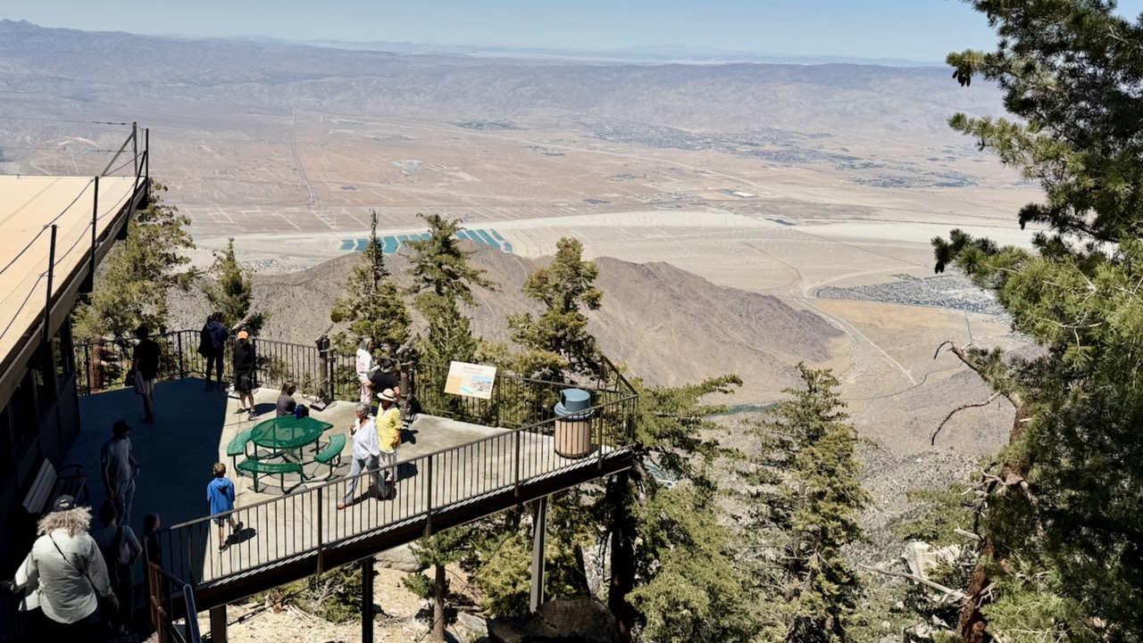
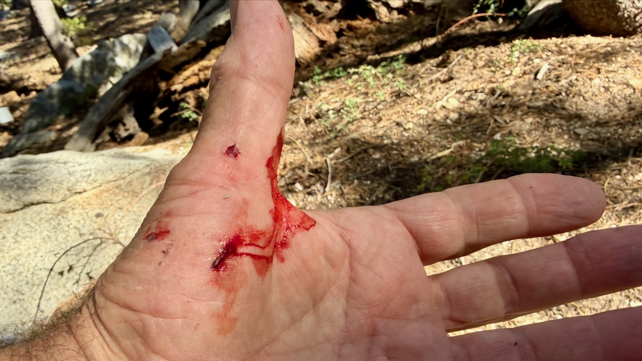
Within an hour, I had my only real injury. Standing up, I forgot I was wearing a heavy pack, and fell backwards over a rock. Getting scratched up. … Dumb mistake.
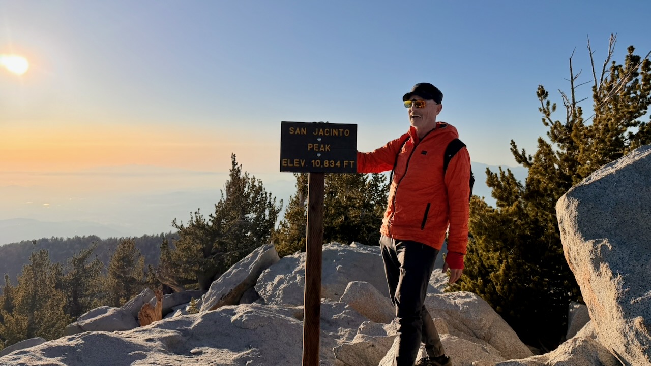
I enjoyed the short side trip to San Jacinto Peak. It’s over 10,000 feet higher than Palm Springs.
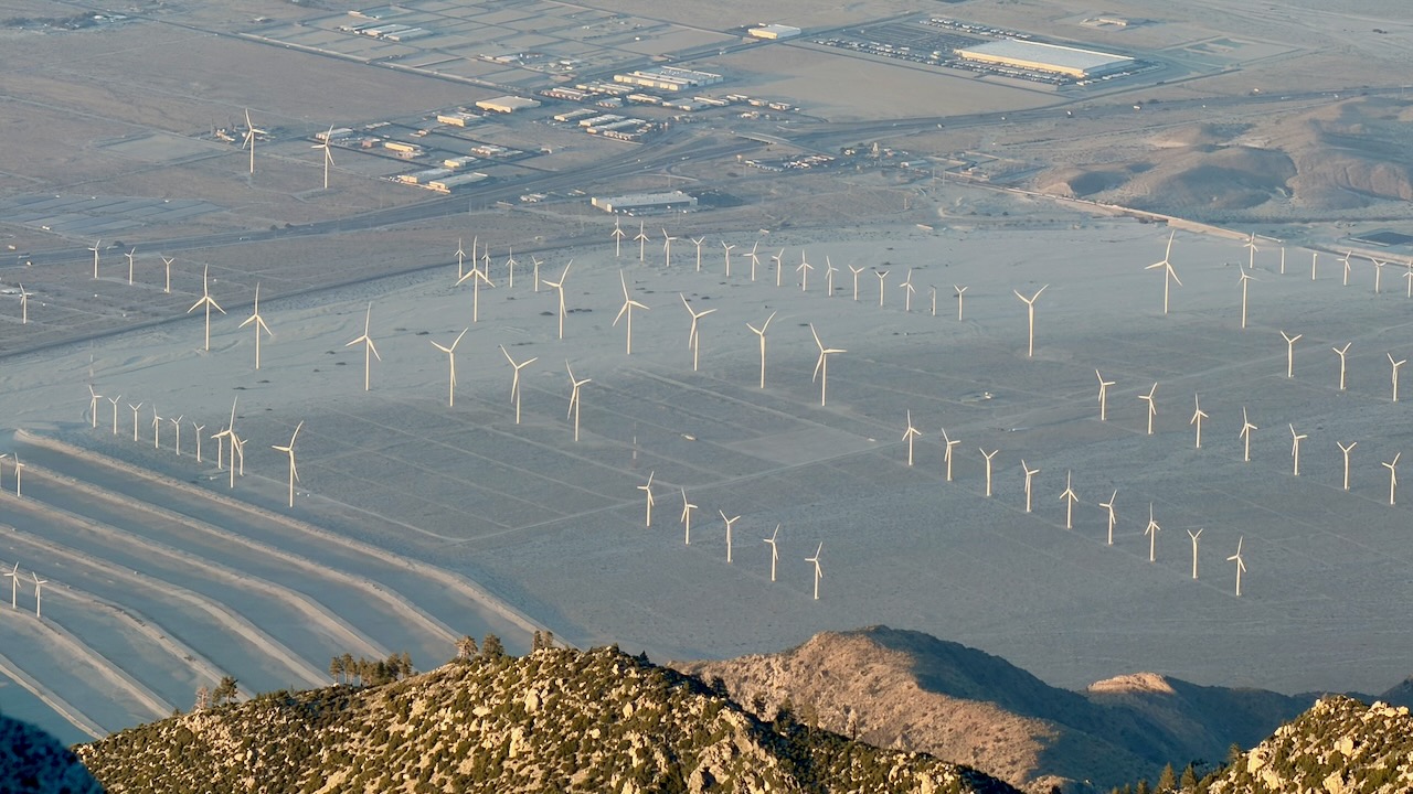
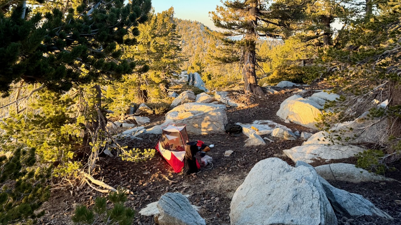
I camped nearby. And was surprisingly chilly in the sleeping bag.
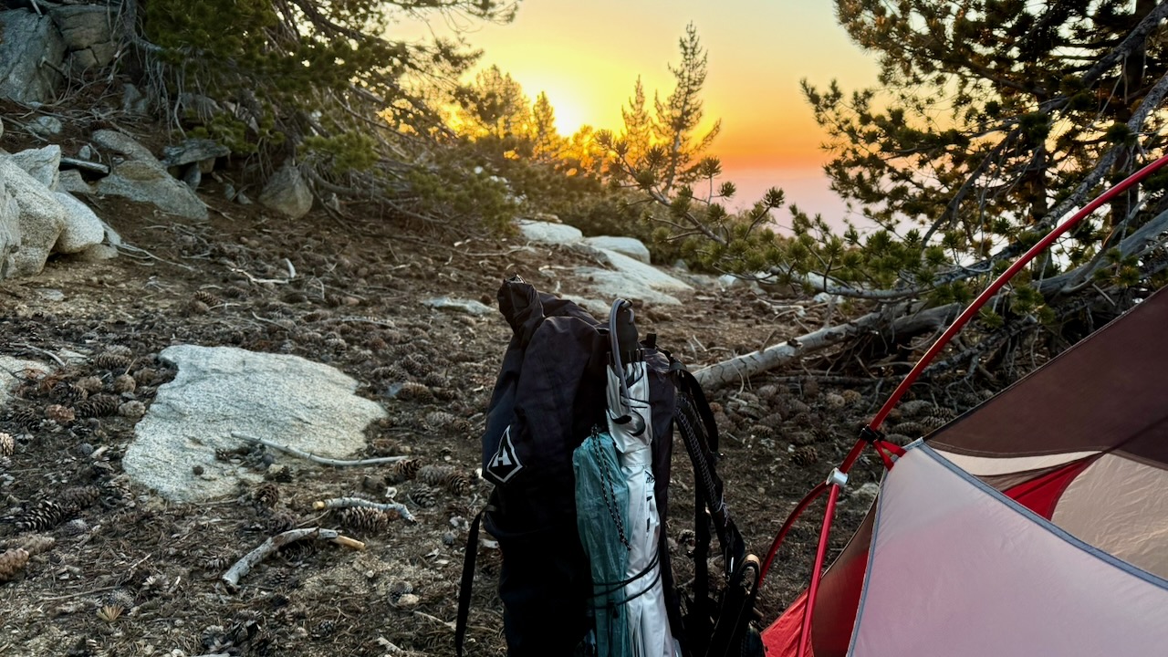
Rather than post a day-by-day account, here are major themes of my 2 weeks on trail.
About 5:30pm I’d start looking for a campsite. Ideally near a water source.
IF there is a Bear Locker, use it. At the excellent Little Jimmy Campground we advised everyone to lock up food and backpacks.
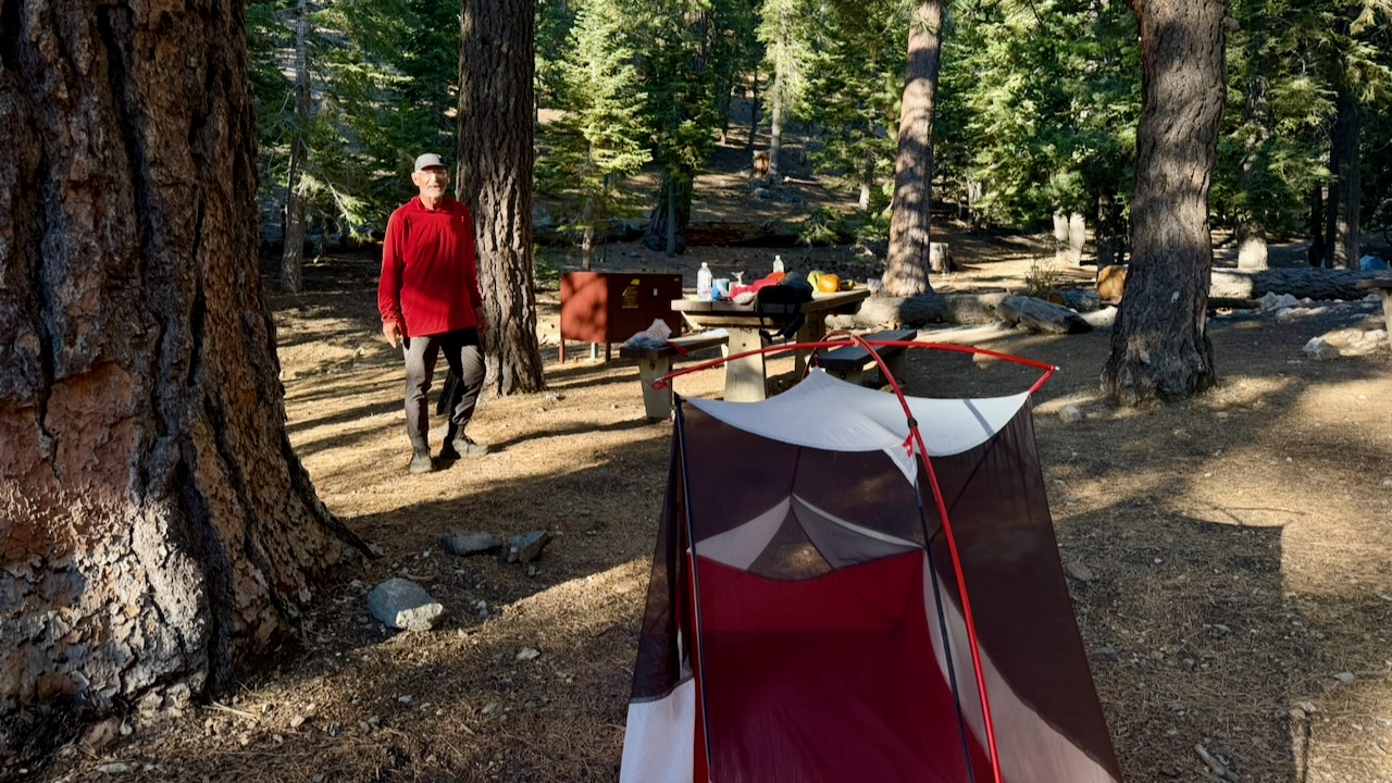
About 2am a bear arrived to check if lockers were closed. Checked every tent. Started dragging a backpack out of a vestibule as it had some food in it. The hiker (now known as Bear Bait) shouted and had a tug-of-war with the beast, eventually winning the battle for his pack.
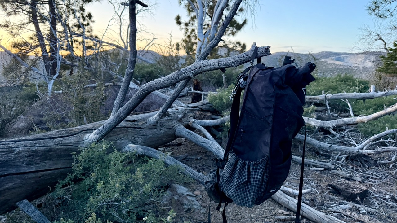
If there is no Bear Locker, hang your backpack away from insects & rodents.
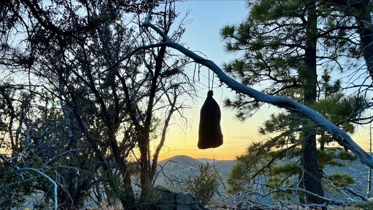
I had my food in an Ursack, and tied it away on a tree.
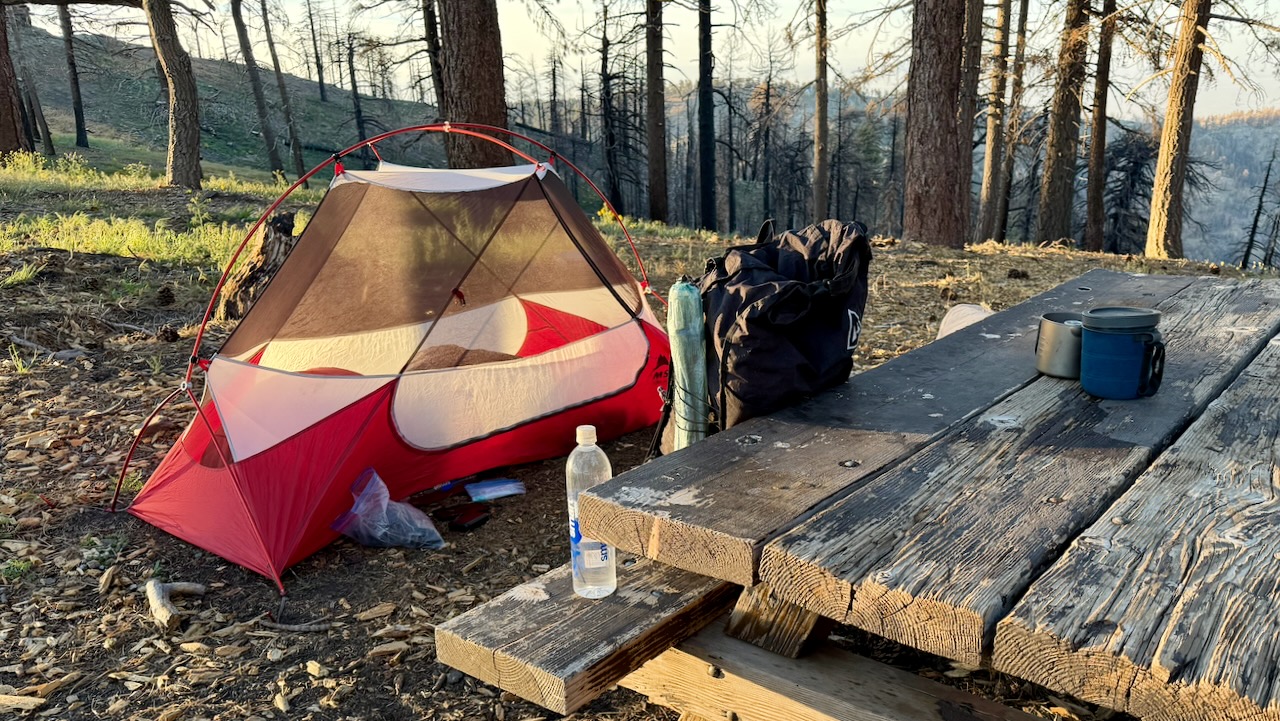
I do love having a picnic table.
As it turned out, I only put my fly on the tent 2 nights of 17. Why didn’t somebody tell me it never rains in southern California? 😀
As I’d suffered blisters on the PCT once in the past, this time I brought 2 pairs of hiking shoes, both about 1.5 sizes larger than what I wear in the city. And both were WIDE sized.
I changed shoes regularly. Changed socks often. Washed and cooled my feet every chance I got. And it worked.
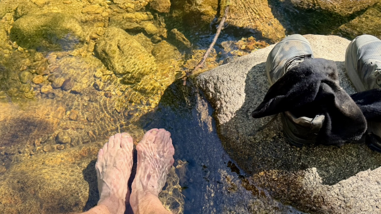
Near the end of my desert hiking, I bought a pair of Injinji toesocks. I think they might have helped, too.
Only hiking a couple of weeks, my pack was heavier than most. Starting with 10 meals, carrying 3-4 litres of water, it might have been close to 40 pounds.
After a week or so, it was near 32 pounds.
The lighter, the better. I did find my pack too heavy.
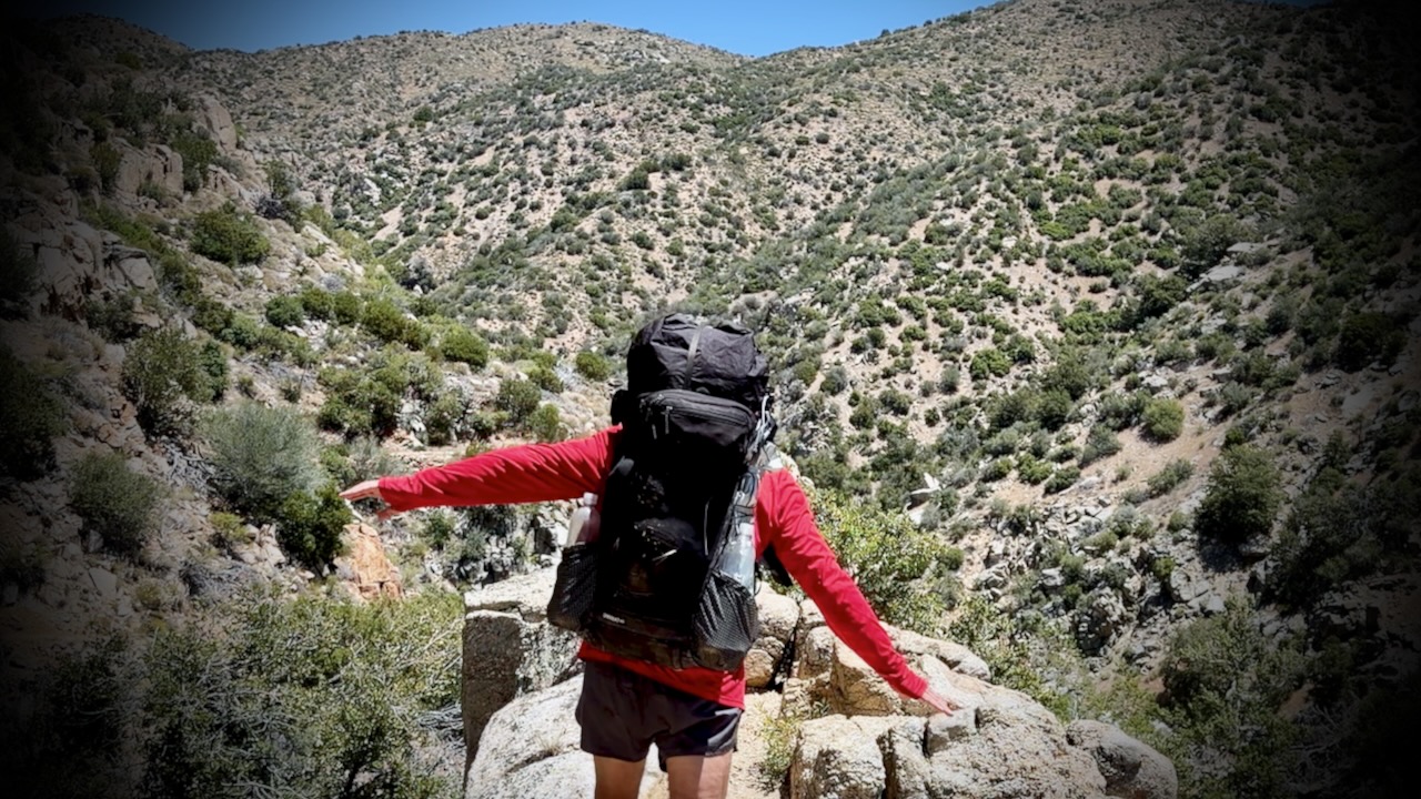
On the other hand, I love my pack itself ➙ the Hyperlite Unbound 55 Backpack.
Here’s my full gear list. You can decide what I should have left behind. 😀
Personally, I love the southern California weather. Sunny and dry. Day after day of blue skies.
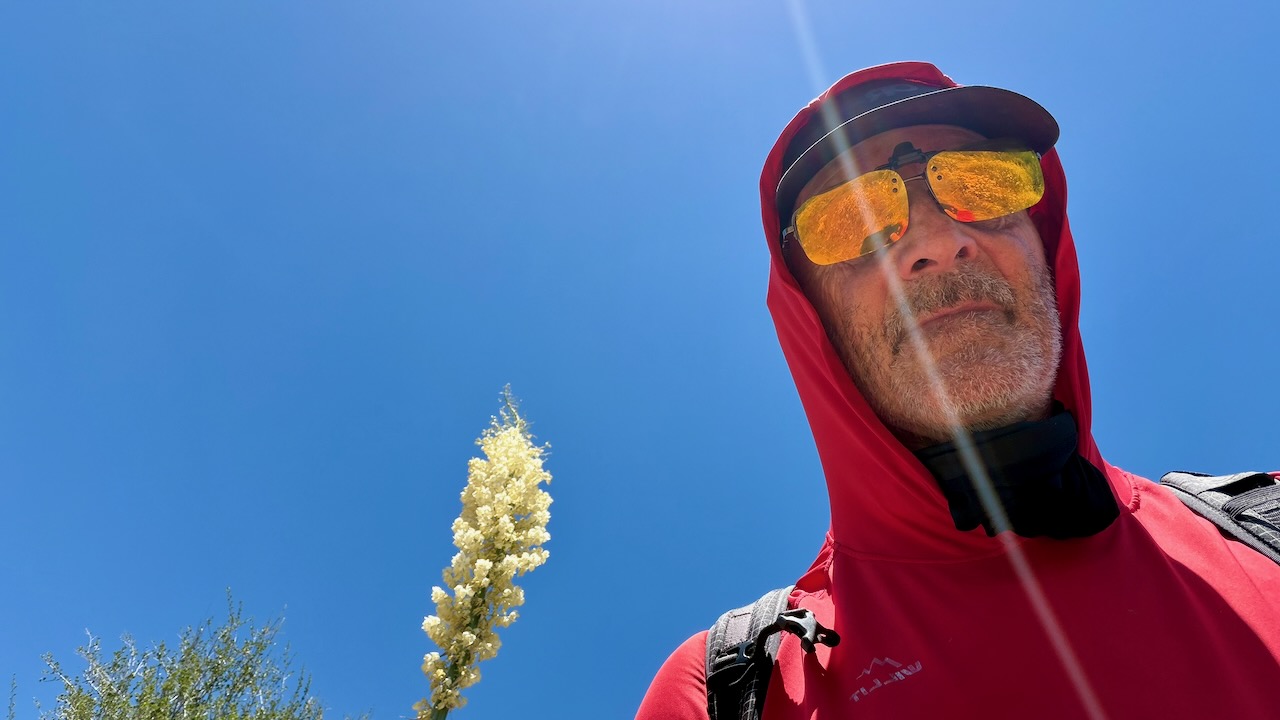
Of course I kept covered up as much as possible. A sun hoodie is essential.
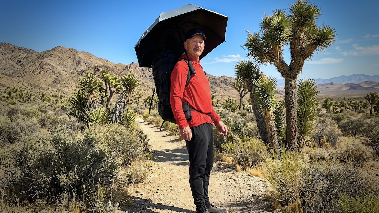
I did use a hiking umbrella for the first time. IF it was very hot. I found it easier to carry and adjust for wind often, rather than tie it on to my pack. They are popular in the desert section with PCT hikers.
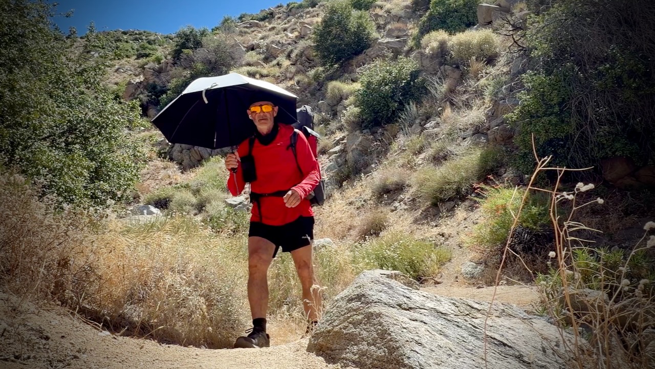
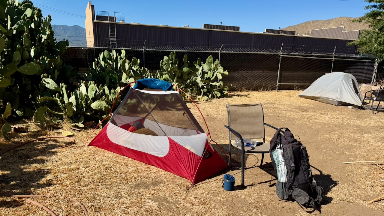
One very experienced desert hiker known as Iceaxe suffered from a long day in the sun. Two day hikers helped get him to town where he took a zero to recover. We camped for free behind a pub.
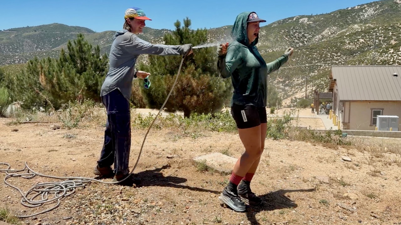
At one of the rare hoses, PCT girls gone wild soaked themselves. Smart.
Much discussion regards water sources in the desert. And how many litres to carry. Often I started with 3-4 litres. The heaviest thing in my pack.
Most hikers filtered almost everything. For me boiling is best. If the water looked great — directly from a high mountain spring — I did not treat. If worried, I threw in a purification tablet & flavouring. Usually Mio.
I probably should have had an electrolyte replacement like Tailwind.
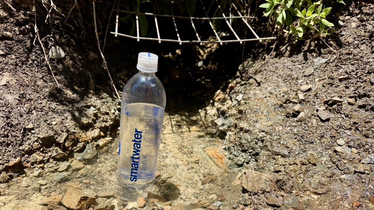
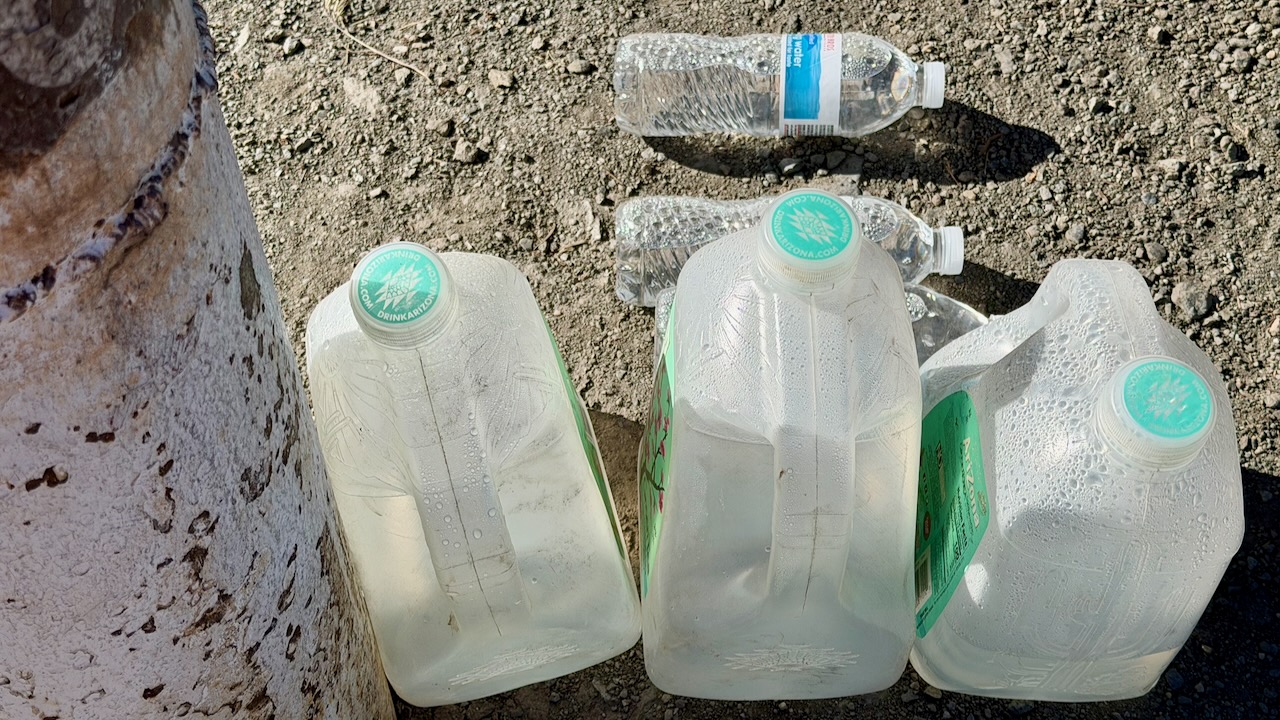
Wonderful on the PCT is when you arrive near a roadway and find that some volunteer has left water and/or treats for hikers.
My best Trail Magic was hiking in to find Marco all set up in a parking lot.
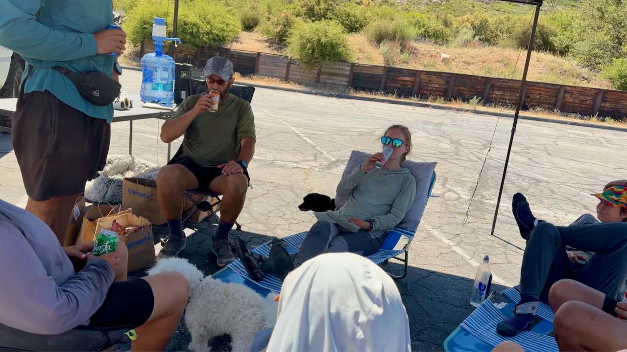
Many hikers stayed for hours enjoying his cold drinks, fresh fruit, hot dogs, and burritos. He’d driven 3 hours from home to provide help in a tough spot on the trail. In fact, I’m now planning to join Marco on an adventure next summer.
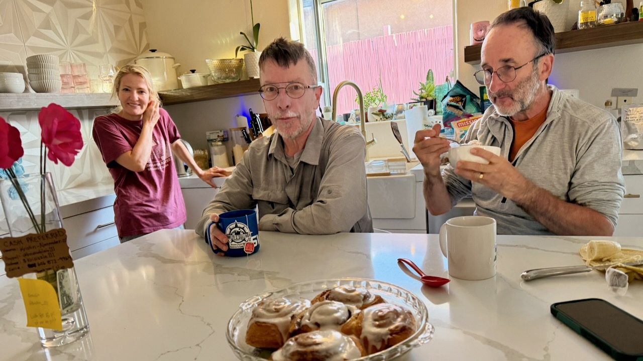
The highlight for me was meeting and chatting with people crazy enough to want to hike continually for months. Here are 2 legends known as Canadian Bacon. They’d finish the entire PCT in 2026, their last section over a number of years.
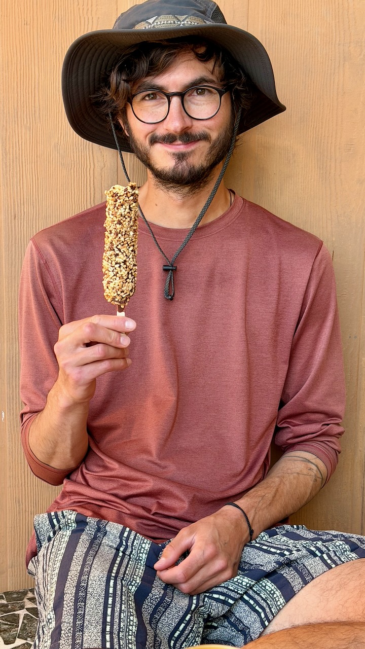
The guy I met most likely to finish the entire PCT in one year was Roman from Switzerland. He hadn’t acquired a trail name, as yet. Here he is after one month, looking like he just got off the plane. With a budget of $10,000 and no injuries, so far, Roman’s cruising to Canada.
From Palm Springs to Agua Dulce, 3 times I skipped miles, taking motor vehicles. Only the purists — like Roman — do every single mile. It’s often logistically smart to bypass difficult sections.
For example, I shared a Lyft from Whitewater to Big Bear to avoid a huge, hot climb.
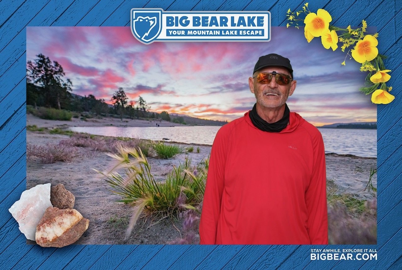
OUT of Big Bear, however, it’s a huge hot climb of thousands of feet to the top of Mount Baden-Powell.
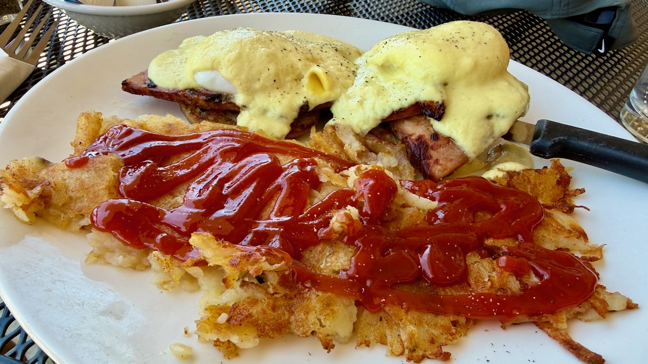
Like most others, I indulged in high calorie food every chance I got.
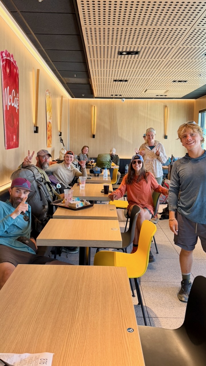
All these hikers gorging at McDonalds swear they never enter the place in their real lives.
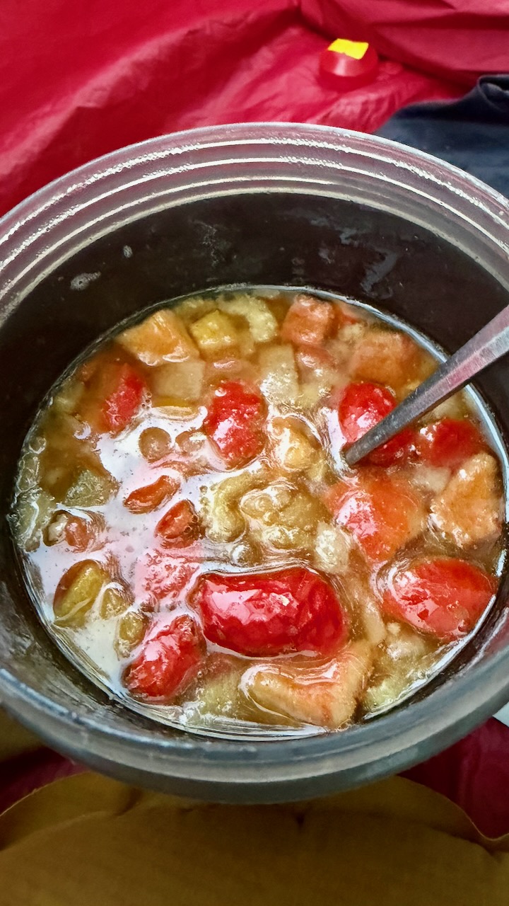
On the trail, I carried a stove and made up meals that had been flash frozen by my niece Stacey. Delicious.
Happily, my 2 weeks were unaffected by fires in 2026. We saw smoke behind us one day. And hiked sections that had been burnt in recent decades.
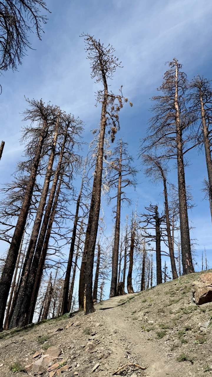
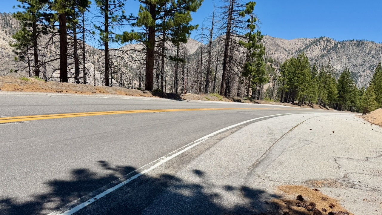
One mandatory detour had us road walking. Surprisingly, I found it a refreshing change.
Almost everyone uses the expensive FarOut PCT app. It works offline and has some up-to-date comments on waypoints that are super valuable.
On the other hand, the interface is ugly and not detailed enough. I often switched to the free Maps.me app offline. Every hiker gets lost, sooner or later.
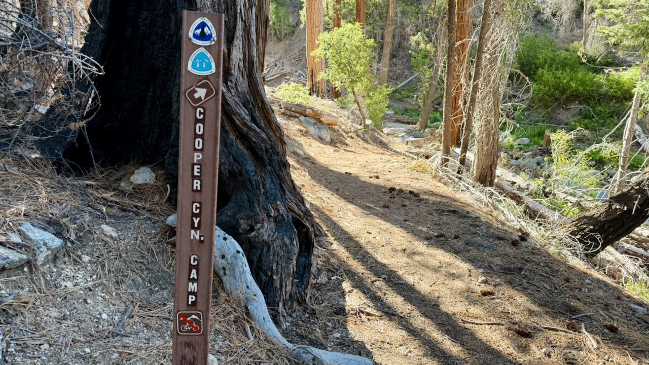
There is signage. But it’s not always clear which way to go when you reach an intersection.
I found one tick on my leg. Removed it before a bite. And saw one tick on a leaf.
It’s an issue, for sure, in southern California. I carried tweezers specifically for tick removal, if necessary.
Check this post ➙ PCT First Aid.
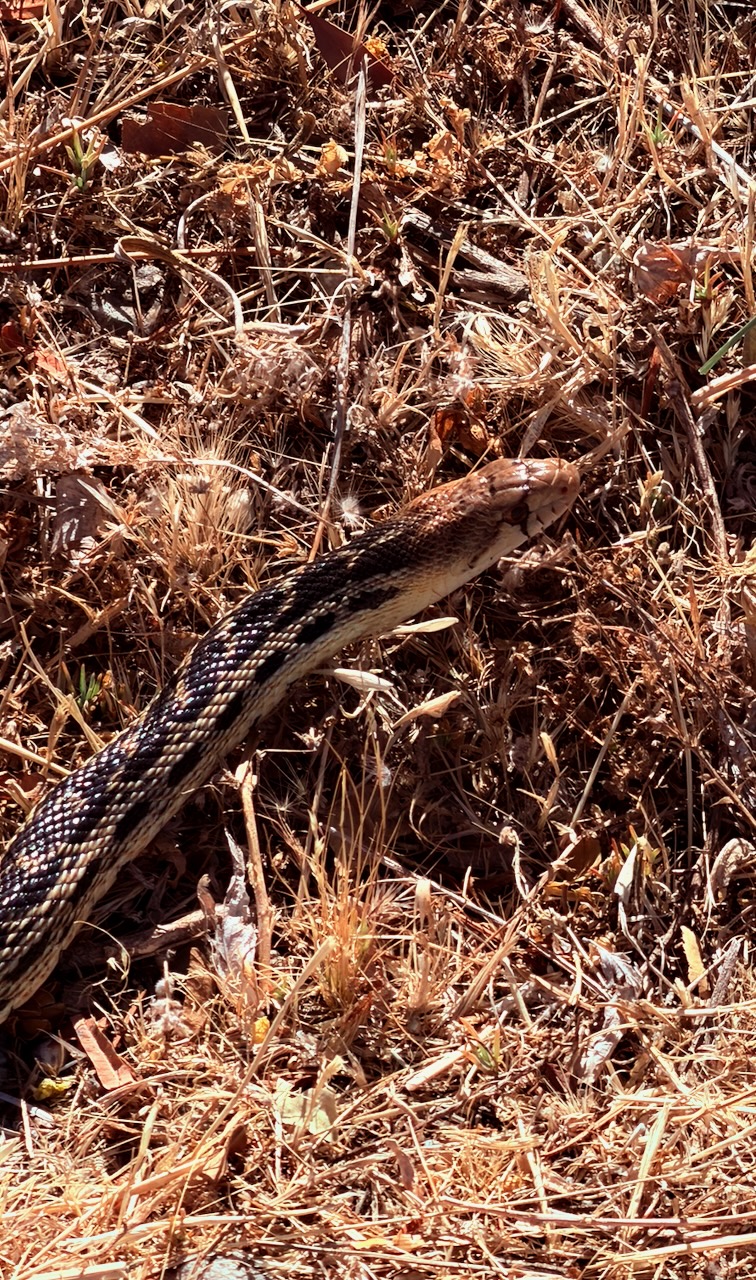
I saw 3 snakes over two weeks. No Rattlers. The only one of the 3 that stood still for a photo was this friendly Gopher Snake.
It’s quite common to find Rattle Snakes close to the trail.
Surprisingly, I suffered many campsites with annoying insects. This despite the weather being hot and dry.
Keep your tent closed or you may have to hunt down mosquitoes before going to sleep.
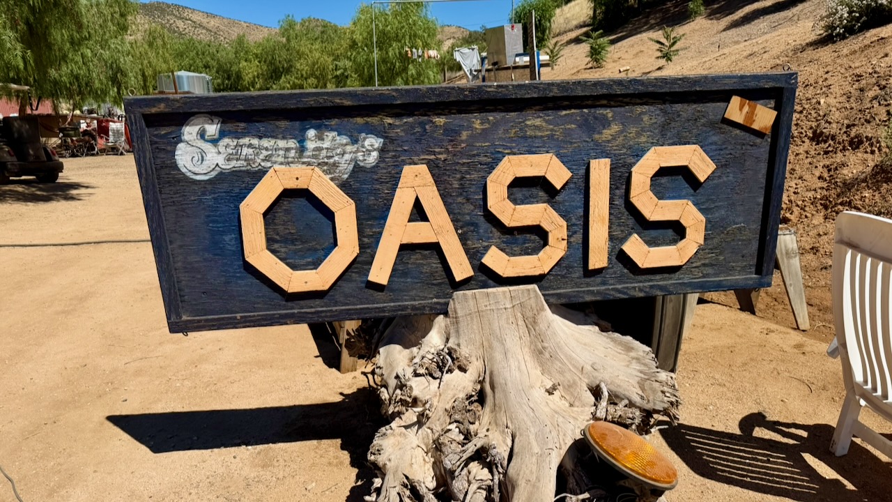
I finished my 2 weeks at Farmer John’s excellent Serenity’s Oasis in Agua Dulce.
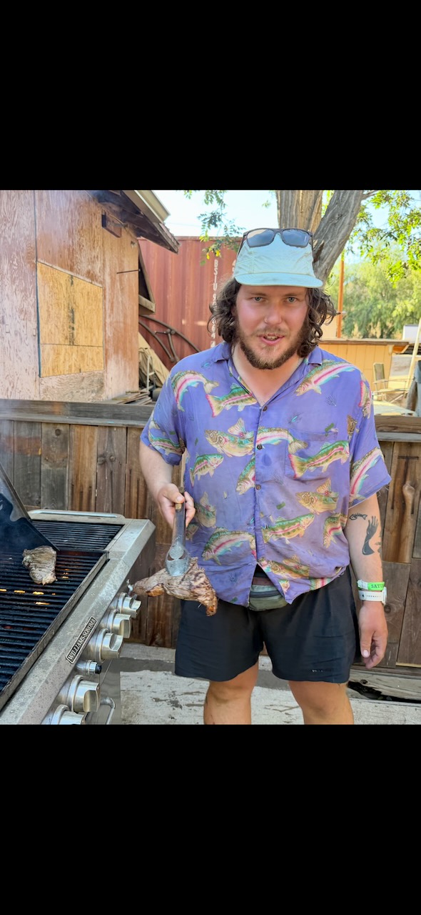
A professional chef grilled New York steak on the barbecues provided.
Most hikers needing to leave the trail on my section try to find a bus heading west to Los Angeles.
I convinced friends to drive 5 hours and pick me up. Calling it a desert rescue. 😀
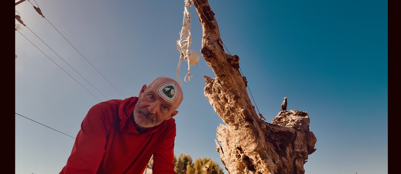
Great fun. I certainly will try to hike more sections of the PCT in future.
You’re almost certain to get one or two good ideas from this video.
Lessons learned on thru hikes.
Click PLAY or watch it on YouTube.
If you like that, there are 20 more here.
Site editor Rick McCharles will be mostly offline well into June 2026. He’s section hiking part of the Pacific Crest Trail in California out of Palm Springs.
by BestHike editor Rick McCharles
I have a PERMIT for 523.0 miles from Idyllwild to Kennedy Meadows South in California.
Starting May 26, 2026.
I’m hoping to survive for at least 14 days of that. 😀
GEAR should be as light as possible.
Of course there will be resupply food and plenty of water to carry, as well.
For this particular adventure, my priorities are …
I’m trying a hiking umbrella for the first time. Plan to switch between shoes & socks several times each day. I once had to quit another section of the PCT due to blisters.
Gear brand Jack Wolfskin recently announced the Wolf Trail — a 3,493 km (about 2,175 miles) thru-hike that meanders through six European countries. .
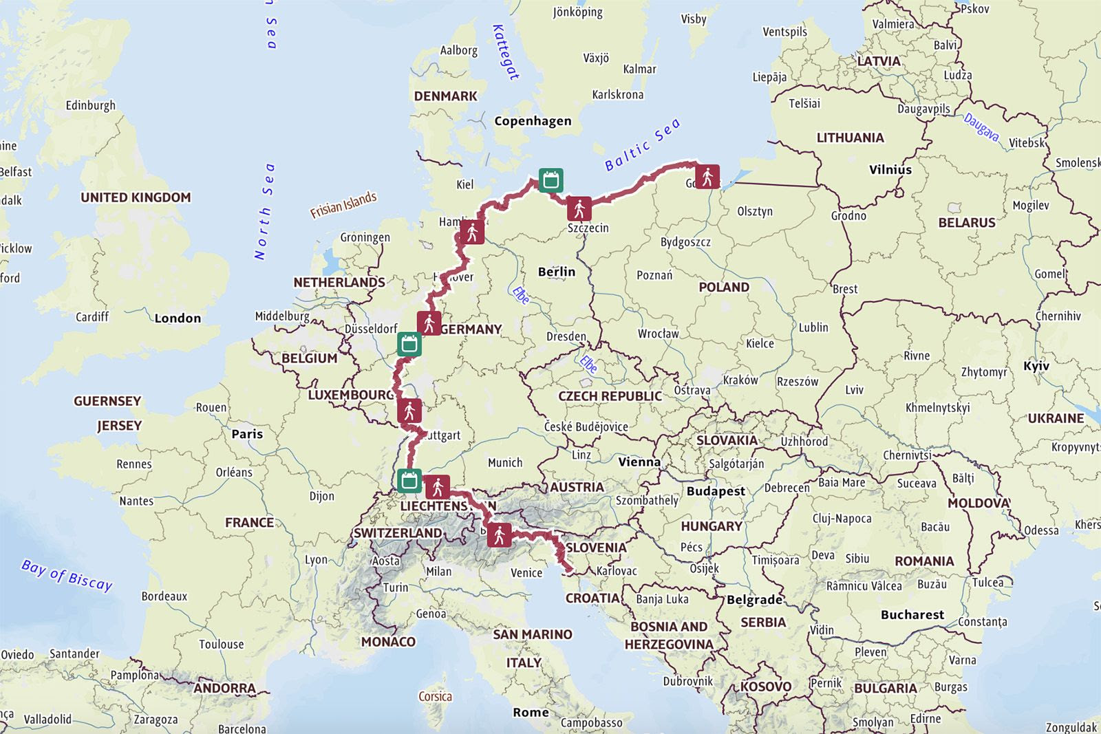
Poland, Germany, Austria, Switzerland, Italy, and Slovenia. Hiking the entire trail means climbing about 78.416 meters in elevation – equivalent to ten times the height of Mount Everest.
A full hike takes four to six months, but even the seven individual sections provide perfect opportunities for long-distance hikers who want to discover Europe, or for shorter day hikes for a quick escape.
by BestHike editor Rick McCharles
I have a PERMIT for 523.0 miles from Idyllwild to Kennedy Meadows South in California.
Starting May 26, 2026.
It remains to be seen just how many of those 523 miles I can finish. 😀
I’ll be happy with 14 -21 days.
Wish me luck.
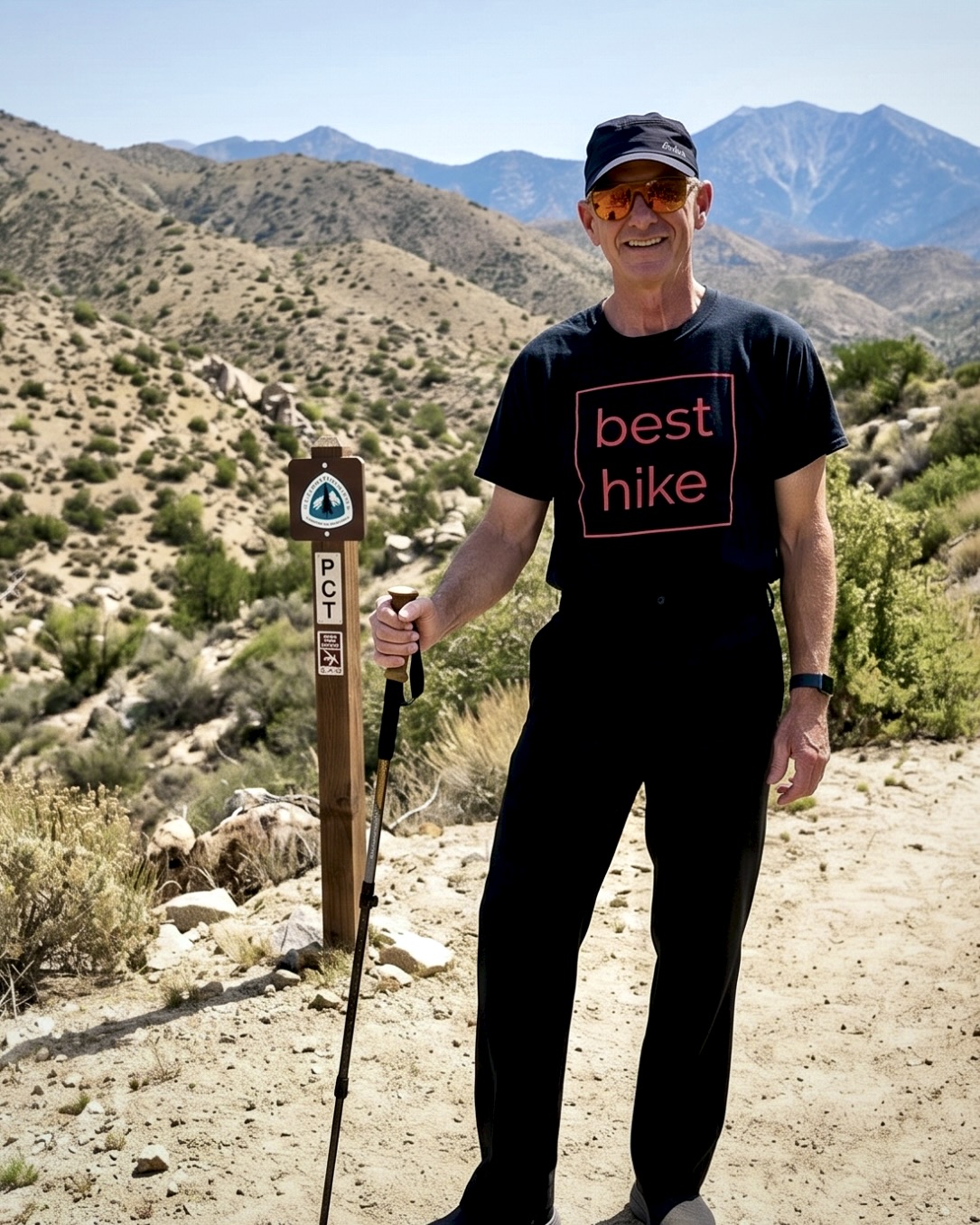
I’ll be testing some new gear. Hiking lighter than ever before — as there will be some major water carrying in the desert.
Looks fantastic.
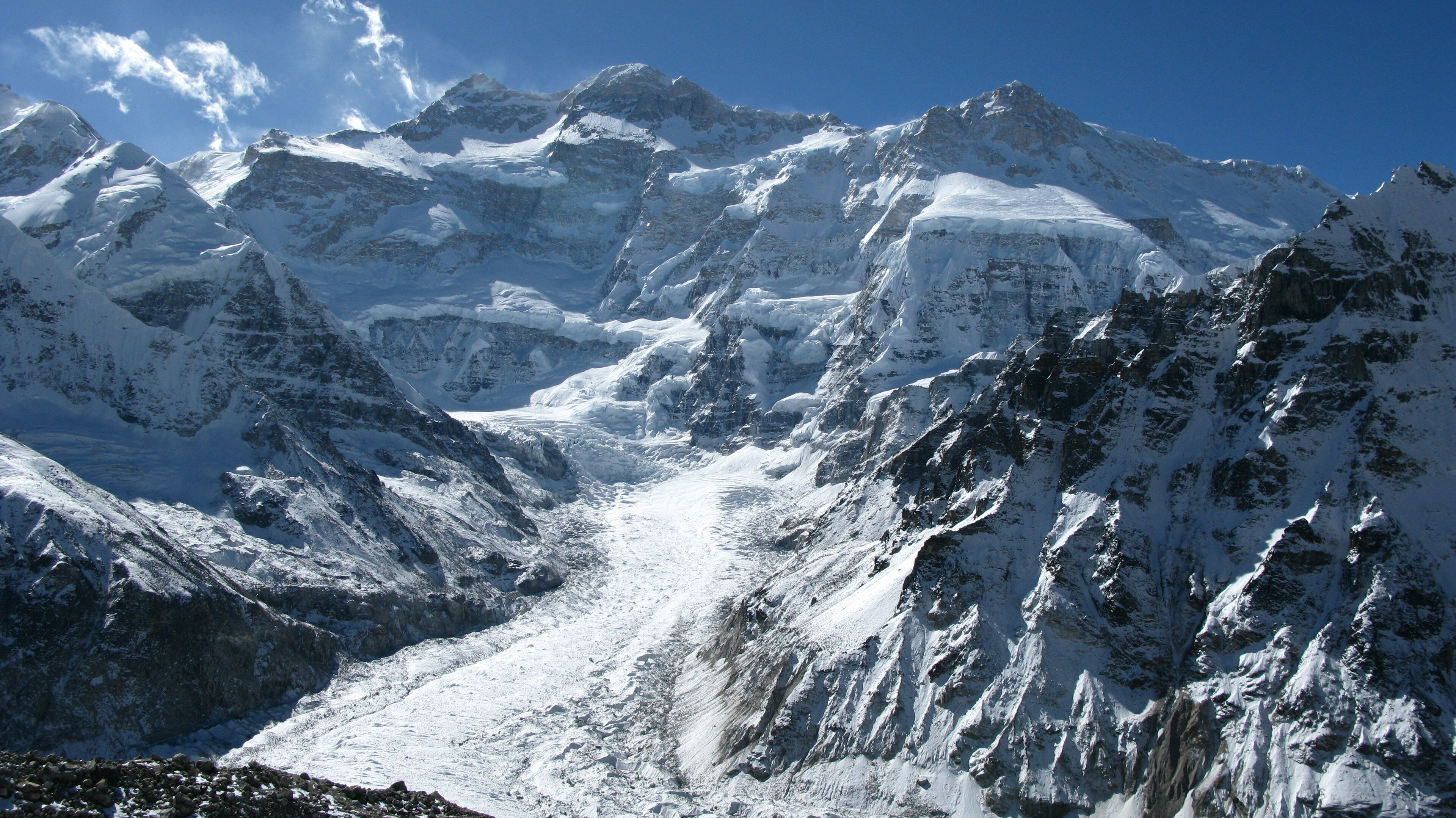
I watched Flora Gonning’s video of her Kanchenjunga adventure guided by Himalayan Masters. That’s the 3rd highest mountain in the world.
They had a lot of snow, changing their itinerary.
Click PLAY or watch it on YouTube.
I’m interested. But it’s a big commitment.
Here’s what Himalayan Masters offered in 2026 starting at USD $1900.
My hiking guide on our successful February 2026 climb of Kili was Eric Hanson.
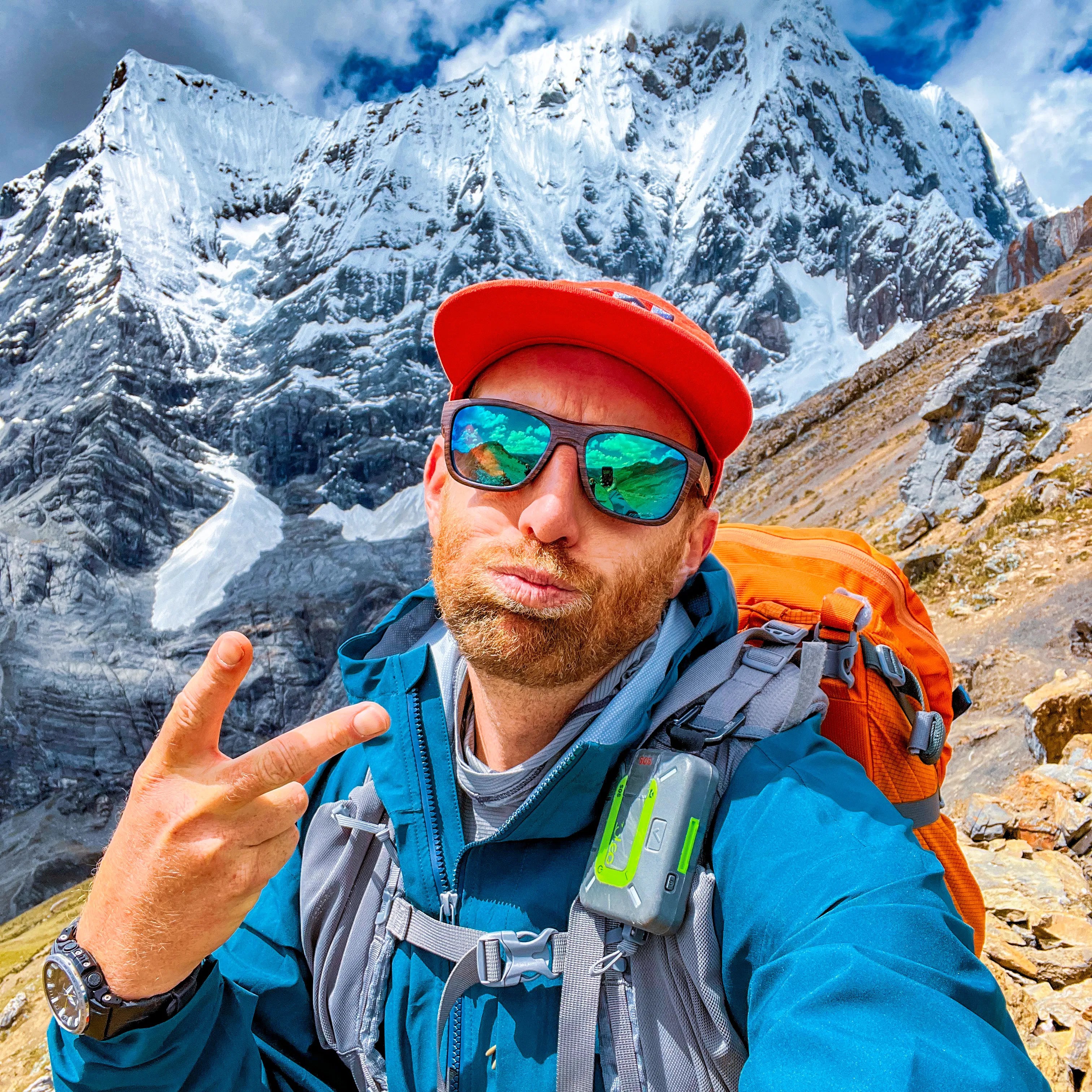
IF you are considering signing up for Kili yourself, be sure to watch this video first.
Click PLAY or watch it on YouTube.

