
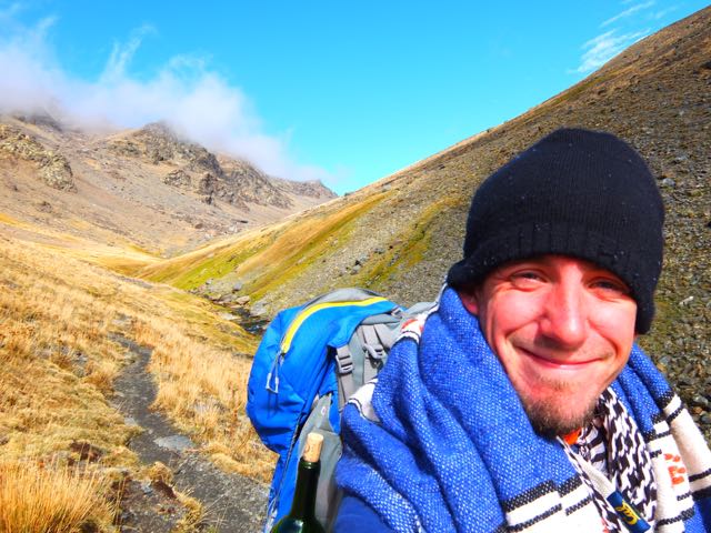
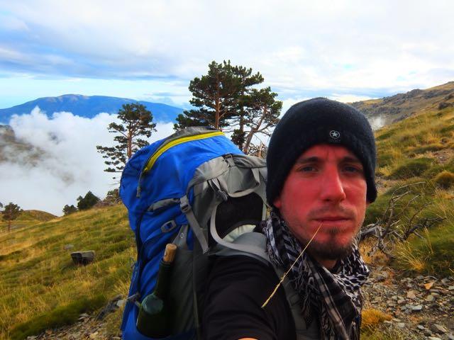
trip report by site editor Rick McCharles
Cold and clear morning at the Refuge.
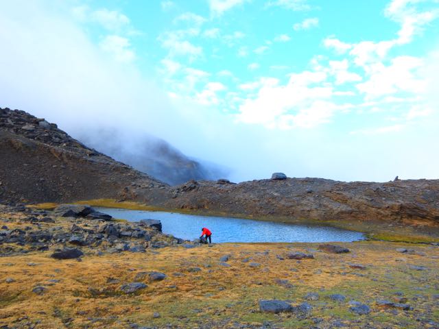
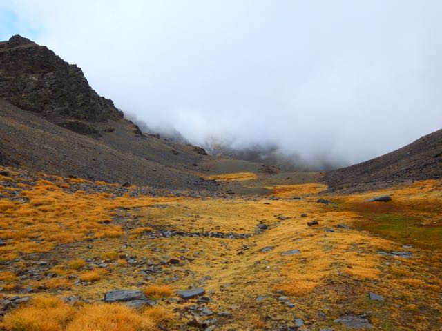
I had no water left. We headed directly down to the tarns. For coffee. 🙂

Somewhat out of the wind, we enjoyed breakfast here.
Then it was back UP UP UP. Into the wind.
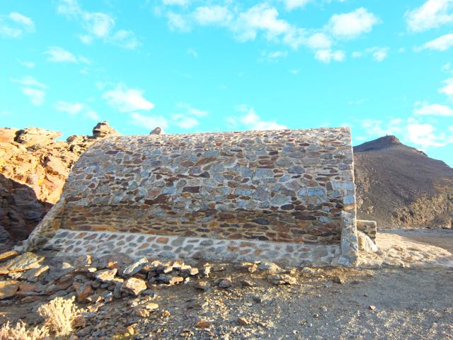
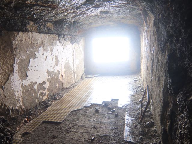
Here is the weird and wonderful Refuge we’d not been able to find at dusk the previous night. It’s pretty much a ruin. Though we may have had to set up our tents inside.
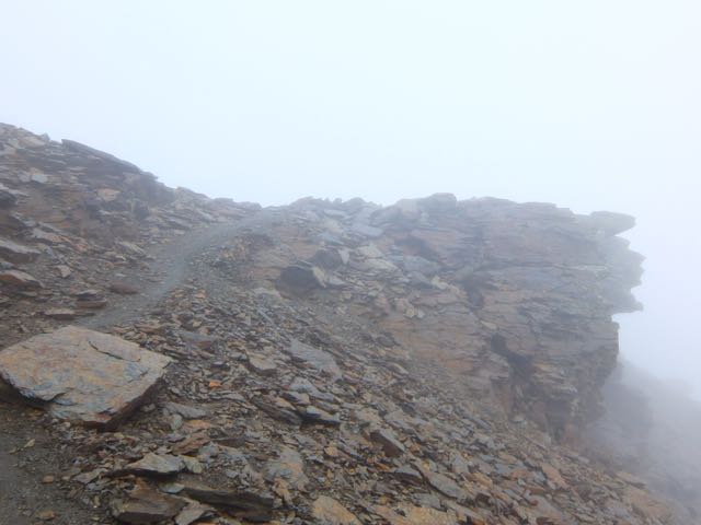
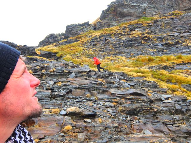
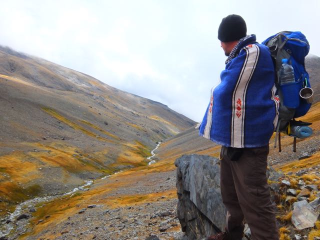
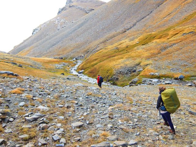
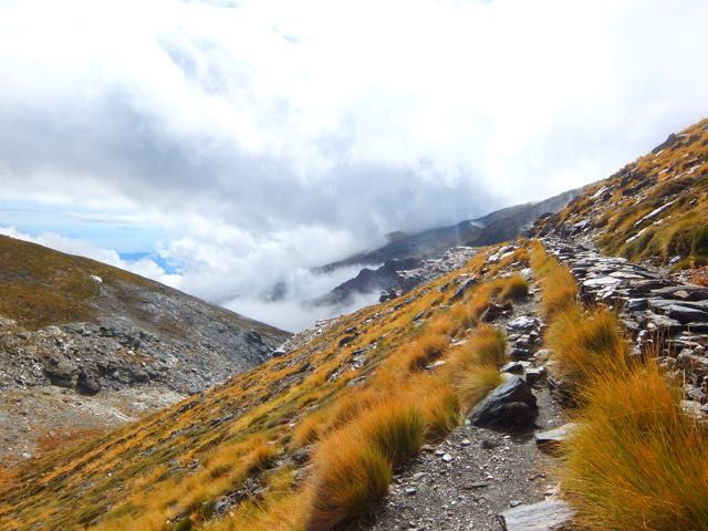
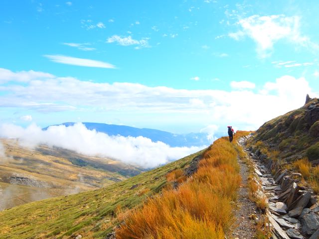
The Traverse continued high.

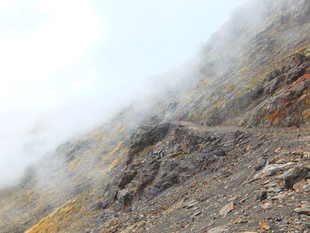
Here’s the crux. A short via ferrata section. Some exposure.

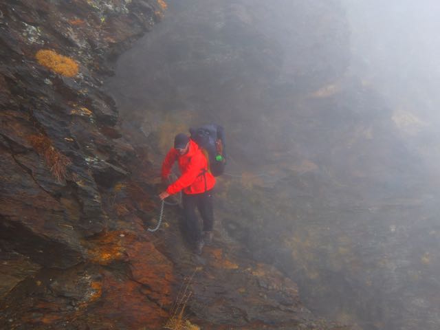
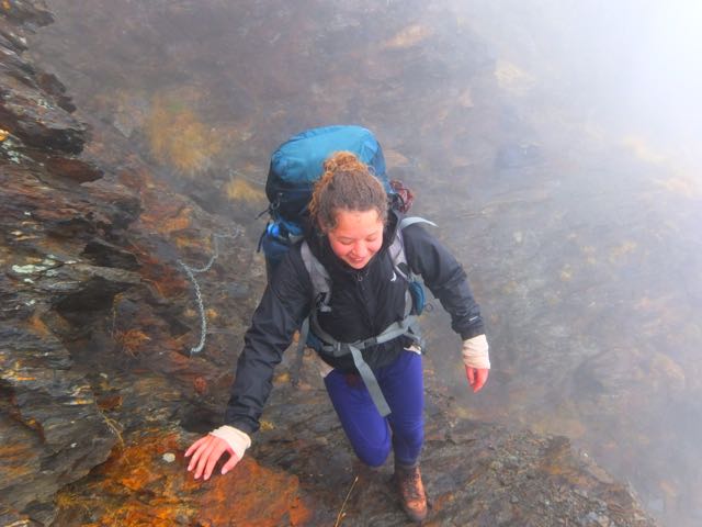
Actually, it was a lot of fun. 🙂

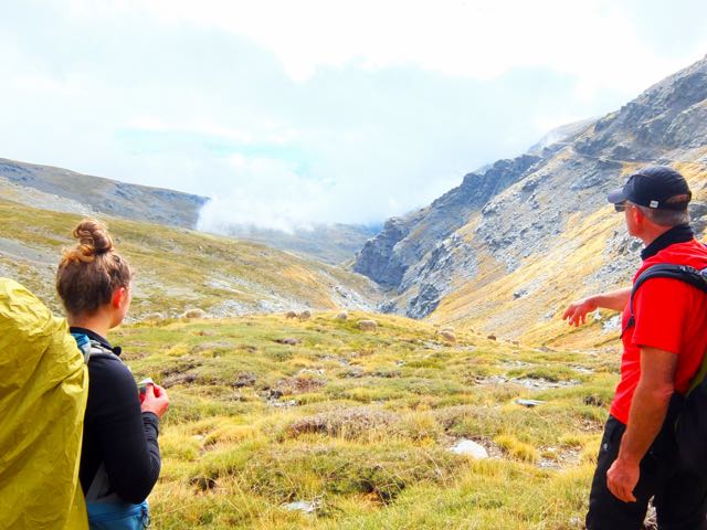
The instructions in our Lonely Planet guide unclear, we were next … lost.
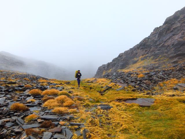
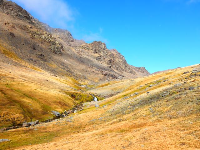
A pretty area. But our descent was (eventually) blocked by a cliff.

We were forced partway back up the mountain.
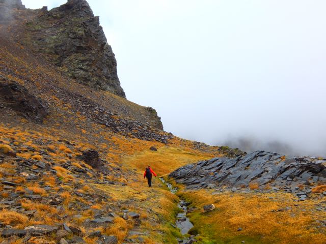
Then opted to give up on the official route, dropping off trail down to the river.
We could see the next couple of kms. It would go. … For a while, at least.
In fact – in the end – we agreed this was the prettiest section of all. Lost off trail.
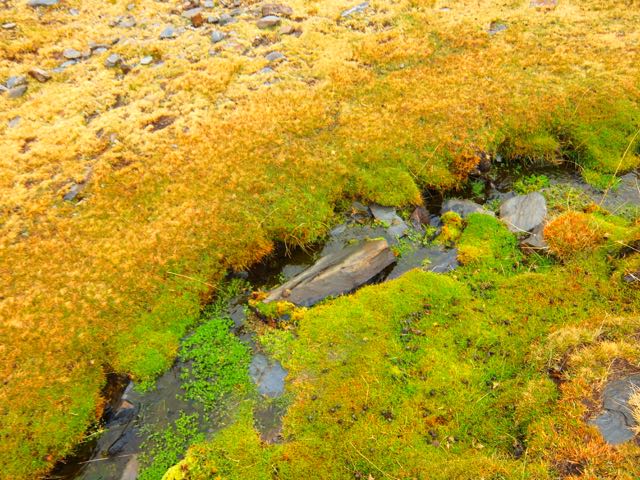
Soon the river edge trail ended, however.
We traversed up along an old irrigation channel.
The guidebook said that the official trail would intersect this water course. All we had to do was find that intersection.
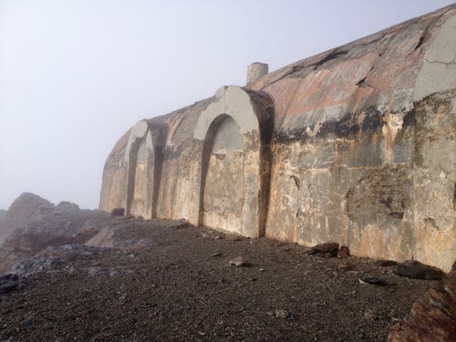
We found the official trail near the next Refuge.
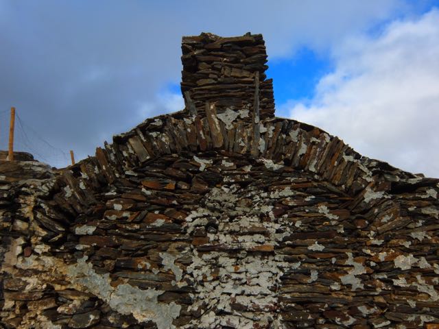
Lonely Planet told that it was a functioning hut. But it had long been bricked up. A ruin.
Josh suspected that the LP author had never actually walked this section of trail. The information was long out of date.
Daylight running out, we decided to tent on an alpine meadow well above civilization. We’d seen only one local person all day – a sheep herder.

