
by site editor Rick McCharles
I “slept-in” until 5:13am.
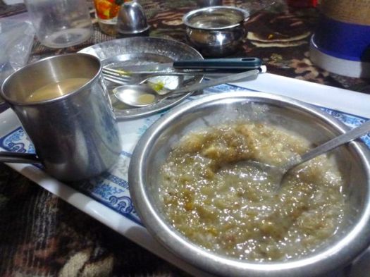
Enjoyed a hot breakfast.
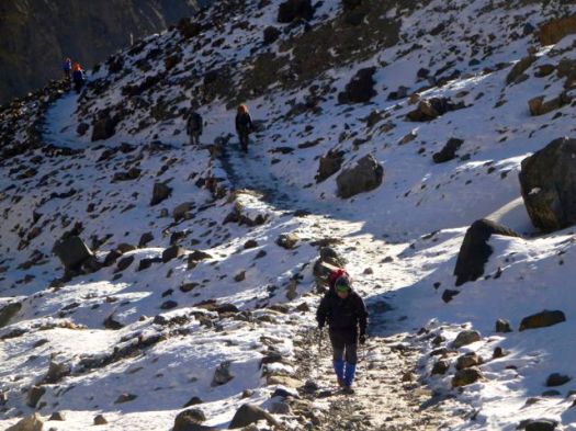
Many had already left, headlights bobbing up the mountain in the dark, worried about wind on the high Pass.
My plan was to leave late. To wait for the sun.

I felt great. Had slept warm on 2 mattresses, with 2 extra blankets provided by the guesthouse.
On Manaslu I felt it was a mistake to start hiking in the dark. This time I’d wait to start until no headlamp was needed.
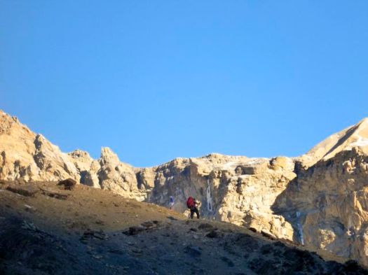
It got bright in no time. I’d heard that Thorung La was higher, but easier than Larkye La on the Manaslu.
We made good time.
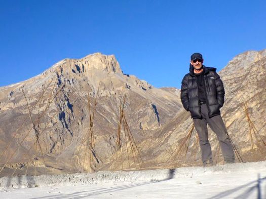
On reaching the snow line, some guides and hikers were worried. For me — a Canadian — this was like walking to school.

No problem.
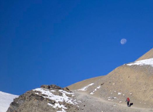
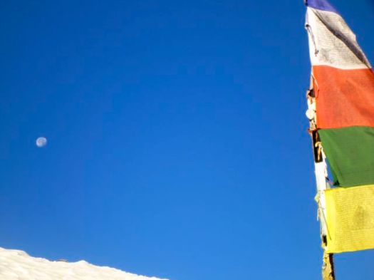
The moon was gorgeous.
Love this bleak landscape.
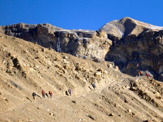
It’s a surprisingly long way from Thorong Phedi to the Pass. About 1km in elevation gain.

But when the weather is good, you can walk it with your hands in your pocket.

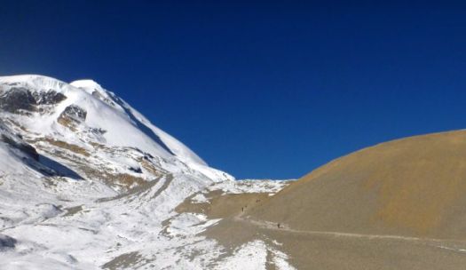
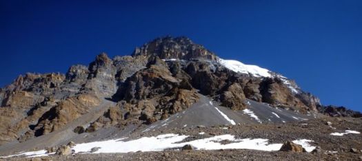
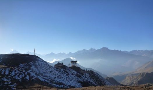
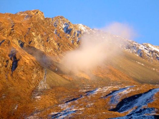
The Annapurna 8,091m (26,545 ft) massif is huge and complex.
… thirteen additional peaks over 7,000 m (22,970 ft) and 16 more over 6,000 m (19,690 ft).This section is a 55 km-long (34 mi-long) …
I couldn’t keep track of which huge mountain I was looking at.
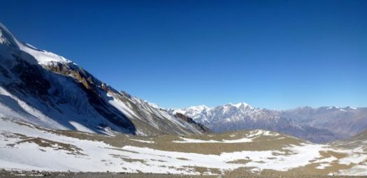
No wind. 🙂
Even the 7000m peaks had no spindrift.
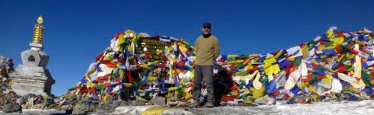
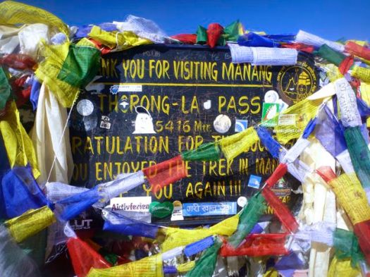
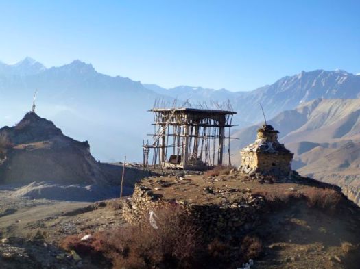
I left a Summit Stone in thanks for safe crossing.

I’d once heard you could scramble a peak (illegally) from Thorung La. But it doesn’t look easy.
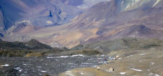
The other side of the Pass looked even simpler than the ascent. It’s longer though. About 1.7km of net vertical lost.
And even more Tibetan plateau. I love these colours.
A guide told me this was the “road” under construction climbing up and over Thorung La. We agreed that it was a mistake to take motor vehicles over the top.

Everyone celebrated on reaching a series of small restaurants. For me it was my favourite soup, noodle with egg.

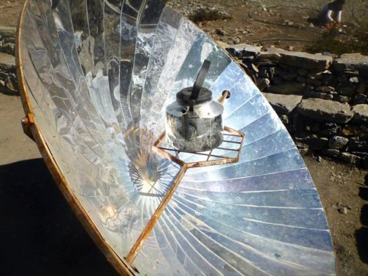
On a sunny day you can melt and even boil water on one of these.
I continued on down to the first town on the other side, bleak Muktinath 3,710m.
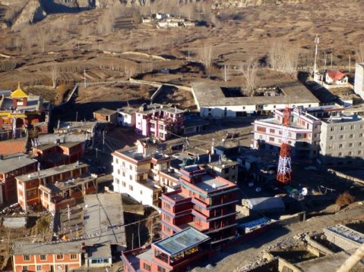
I’d last been here 14yrs ago, the highest I got on this side of Annapurna.
 Muktinath still has no ATM. Some hikers are running out of cash by this point in the trip. Many spend more than they expect on the Circuit.
 Muktinah is an ugly tourist town much worried about the expected decline in Annapurna Circuit trekking. No one is confident that building alternative trails off the road is going to work. Trekkers, in future, might go to Manaslu instead.
Was that a new water tower under construction?
Later I learned they are building a giant Buddha statue. A tourist attraction, amongst other things.
After 15 days continuous hiking, I’d stop here. Ride a mountain bike down the other side.
I felt great. It seemed to me that I could easily hike another 15 days. Continue on the Nepali Great Himalaya Trail.

see high resolution photos from this day on flickr
day 1 | day 2 | day 3 | day 4 | day 5 | day 6 | day 7 | info
