trip report by site editor Rick McCharles
Because the Presidential Range is in the pathway of several major storm tracks, Mount Washington is known to have a severe combination of wind and cold. The average annual temperature is 27.1°F, the summit temperature has never risen above 72°F, and the mountain holds the world-record for a wind speed of 231 mph, recorded on the summit in 1934.
(Barrow Island, Australia, October 4, 1996 had big wind. Gusts might have even been higher speeds.)
Hurricane-force wind, dense fog, driving rain, and snow occur even during the summer months, and sudden and extreme weather variations are common. Although hazardous conditions do not occur daily, it is important to be aware of the weather before you begin your hike.
Known as the most dangerous small mountain in the world … (over) 137+ fatalities have occurred since 1849.
Most due to hypothermia.
This mountain is accessible to many poorly prepared and inexperienced hikers. About 50,000 people a year climb the mountain.
Having done very little advance research, I arrived at the excellent Appalachian Mountain Club Pinkham Notch Visitor Center on Route 16. Dozens of hikers lounged around, starting or finishing trips. This is the main trailhead for Washington. The 2 most popular trails start here: Tuckerman Ravine Trail and the Lion Head Trail.
Helpful ladies at the information desk convinced me to climb (next day) the less crowded Jewell route from the west side.
Of the major, direct trails, Jewell is the longest, but probably the least difficult in terms of terrain, with moderate grades throughout.
It reaches treeline at about 3.0 miles, and climbs rockily to the Gulfside Trail at 3.7 miles (5400 feet). This route then follows the Gulfside Trail (passing by the Westside Trail and the Great Gulf Trail) and meets the Crawford Path just below the summit of Mount Washington (6288 feet) which it reaches at 5.1 miles (3900 feet of elevation gain).
Here’s a chart comparing the different routes to the summit.
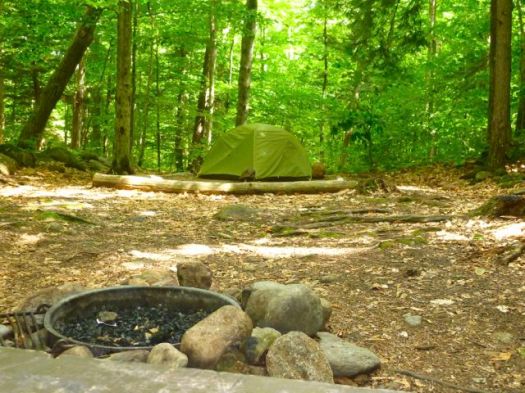
I decided to tent at Fourth Iron walk-in campground ($8 / night) …
 … and hang out at the nearby gorgeous, historic Mount Washington Alpine Resort.

It was pouring rain the morning of the 4th of July. I decided to sleep in.
That meant I didn’t reach the trailhead until about 11am, still uncertain about whether to hike in the rain.
“Worst weather in the world.”
One Jewell trailhead starts just in front of this train station.

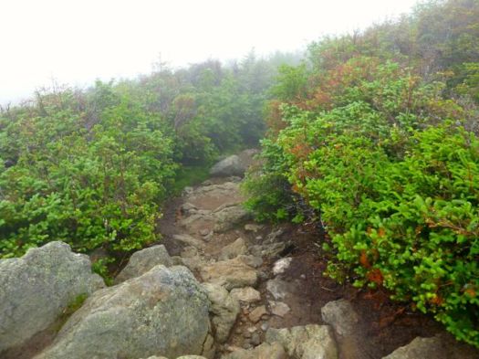
Turned out I quite enjoyed the first 3hrs of the walk. In the rain.
I placed a Summit Stone at one of the tall stone cairns on the way up.


Through the fog I heard one of the railway cars, assuming I was approaching the top.

False summit, it turned out. The train was on its way up.
Finally, getting tired, I reached the summit. Celebrating George Washington on the 4th of July.
 The top of the mountain is crowded with suitcase tourists who have arrived by road or train.
Though I tried to resist, it was too tempting NOT to descend by Cog Railway, despite the $46 one way ticket price.
My train brakeman agreed that Jewell was the easiest and best route. That’s the trail he’s going to hike with his his 12yr-old son.
If you hike from Jewell, it’s worth checking out the free museum. The history of the Cog railway is fascinating.


Though most do Washington as a day hike, it is possible to overnight in some locations on the mountain. Tenting on the summit is illegal, however.

